







Circular hike field landscape route
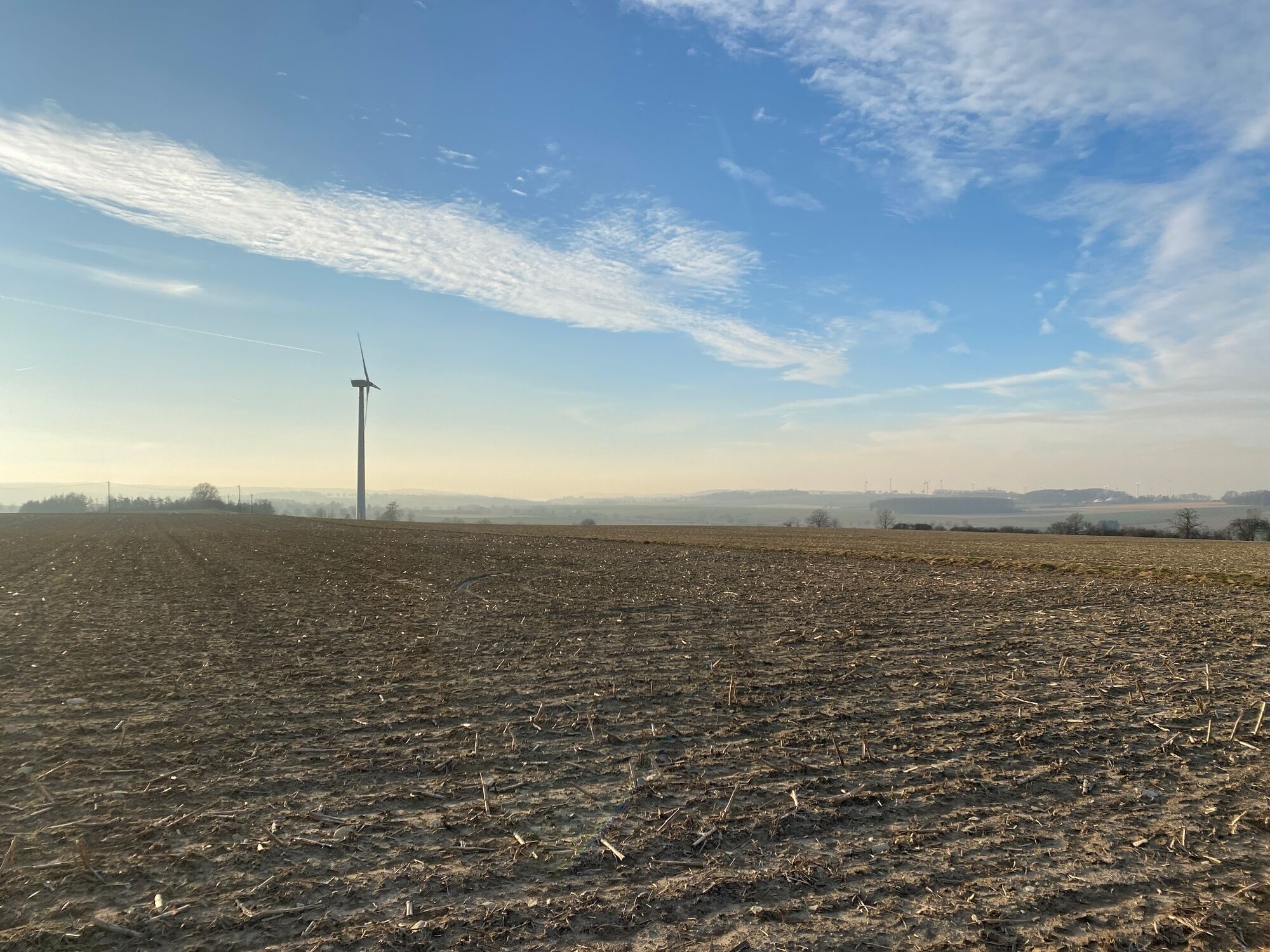
The route has a length of 4 km. Alternatively, you can also park at the cemetery in Allagen. The highlight of the field route is the view of Lake Möhne. Here you can enjoy wide panoramic views over the...
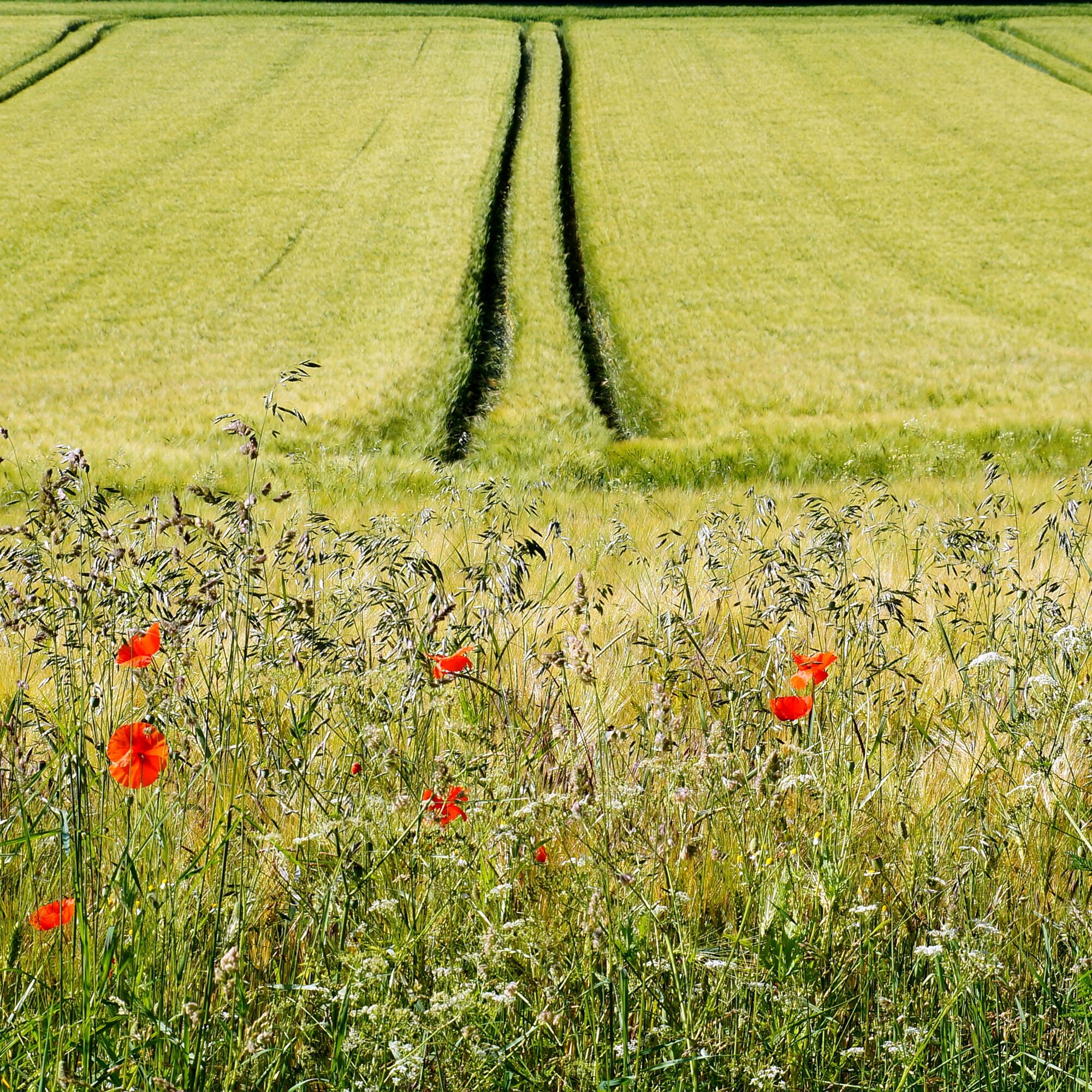
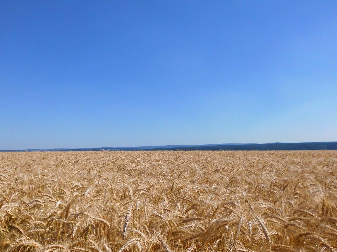
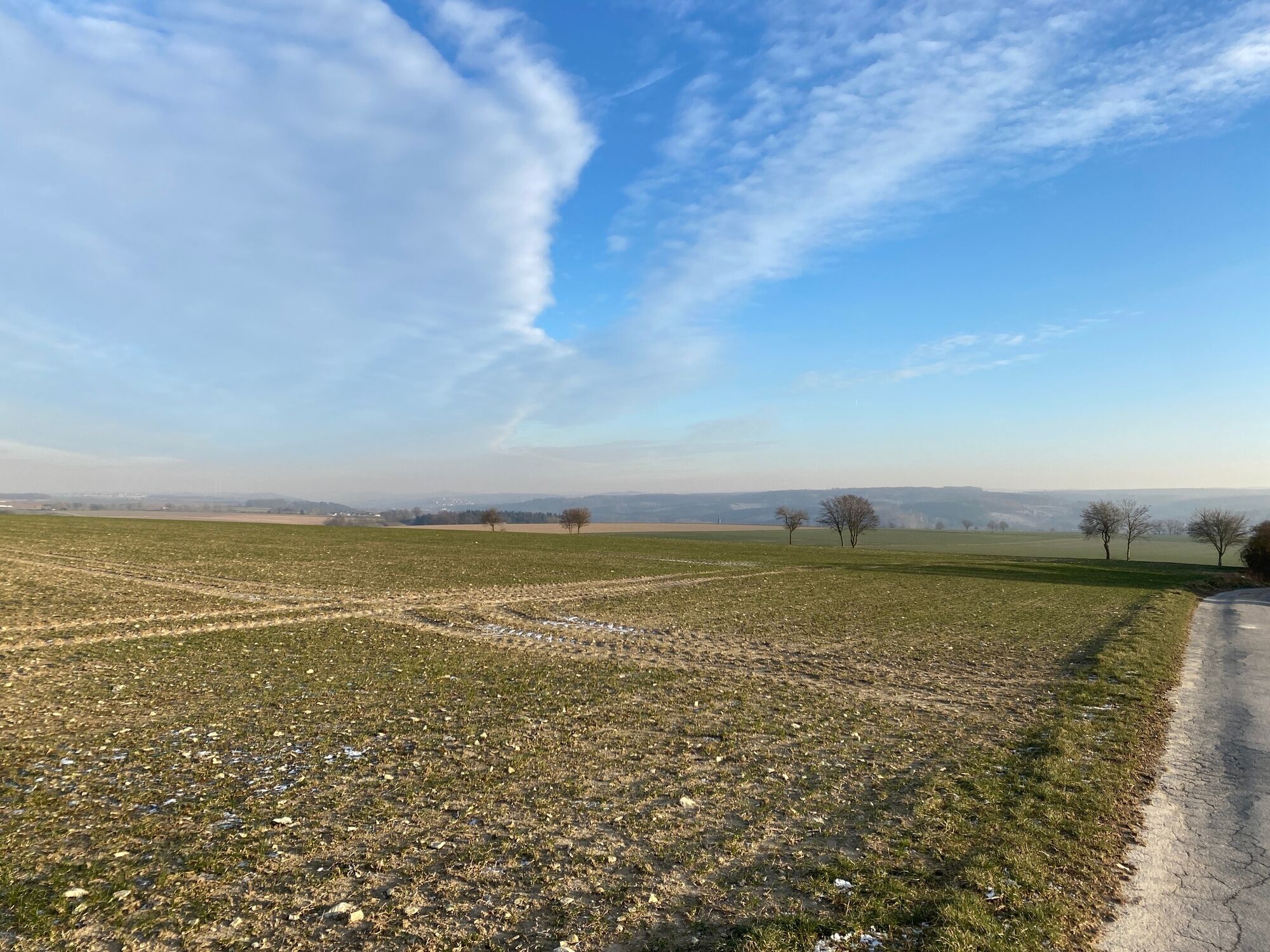
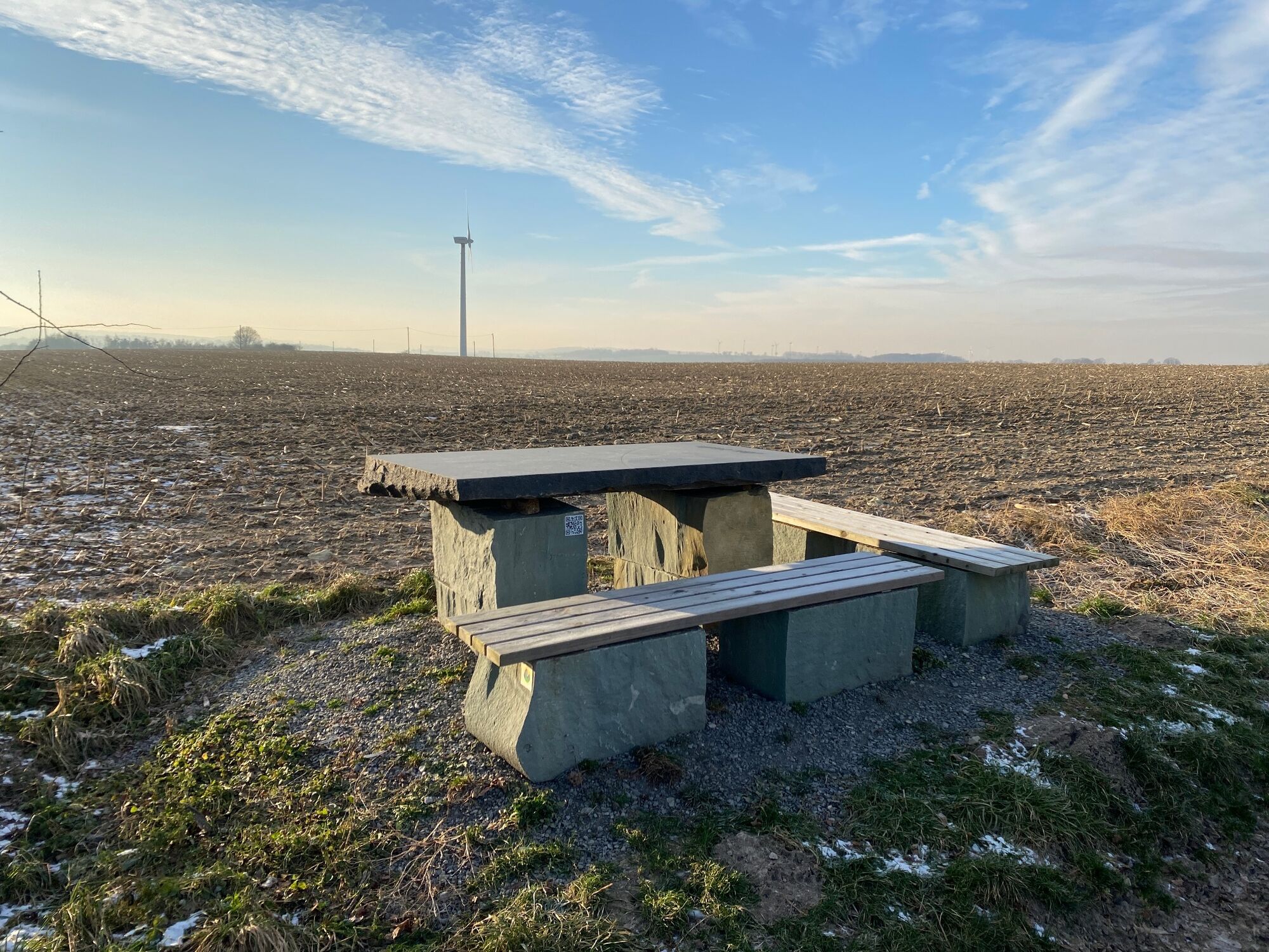
The route has a length of 4 km. Alternatively, you can also park at the cemetery in Allagen. The highlight of the field route is the view of Lake Möhne. Here you can enjoy wide panoramic views over the field landscape of the Haarstrang to Lake Möhne in the west and Warstein in the east. Experience the red kite during its hunting flights and also pay attention to the song of the skylarks. Did our ancestors really select their pagan cult sites, which later often became locations of churches, based on constellations? The first church location in Allagen probably dates from the 8th century and is part of this mystical constellation story that you can discover at the celestial pole. You are located in the European bird protection area Hellwegbörde, where the village initiative Allagen/Niederbergheim e.V. kindly asks you to keep dogs on a leash during the breeding season. Numerous rare species within the bird protection area, such as marsh harrier, lapwing, corncrake, and skylark, are ground breeders!


Tak
Tak
Popularne wycieczki w okolicy
-
4,0
MTB – circular route in the Bilstein Valley no. 47
średniJazda na rowerze 17,8 km -
3,5
Nature experience trail Heve Peninsula (circular trail A2 - Heve arm)
średniWędrówka 7,22 km -
3,0
Sauerland-Waldroute mit Bus und Bahn: Von Hirschberg nach Bestwig (Westfalenbus)
ciężkiWędrówka 26,4 km -
Staumauer Tour
światłoJazda na rowerze 14,2 km -
Naturerlebnisweg Hevesee
średniWędrówka 6,35 km -
Naturerlebnisweg Kleiberg West
średniWędrówka 4,91 km -
Sauerland Forest Route - Stage 5: Arnsberg Schlossberg - Torhaus Möhnesee
średniWędrówka 13,4 km -
The "Rabennest Route" in and around Kallenhardt
średniWędrówka 19,1 km -
Naturerlebnisweg Kleiberg Ost
średniWędrówka 3,92 km -
Circular hike Haus Welschenbeck
średniWędrówka 1,06 km
Wędrówki i tropienie


Nie przegap ofert i inspiracji na następne wakacje
Twój adres e-mail została dodana do listy mailingowej.





