







Elbe-Katemin-Way

The Elbe-Katemin-Way leads you with many small ascents through the Elbe heights, which together with the Klötzie form the northern edge of the Drawehn ridge and run out to the Elbe marshes to the north....
The Elbe-Katemin-Way leads you with many small ascents through the Elbe heights, which together with the Klötzie form the northern edge of the Drawehn ridge and run out to the Elbe marshes to the north. As a transition from the biosphere reserve Lower Saxony Elbe valley floodplain to the Wendland nature park.Elbe, this varied landscape forms the backdrop of the trail. The Elbe-Katemin-Way takes you along the Elbe into the historic town center of Walmsburg, a former circular village. The Walmsburg Werder is a natural and spacious floodplain of the Elbe with direct transitions to the wooded geest edge. In the designated recreational areas you will find a place to enjoy the Elbe in its original state, with its white beaches. The Werder has been behind a dike since 2009, protecting the town of Walmsburg from flooding. Another highlight on the route is the Schieringen forest with its massive megalithic tombs and the Opferberg.


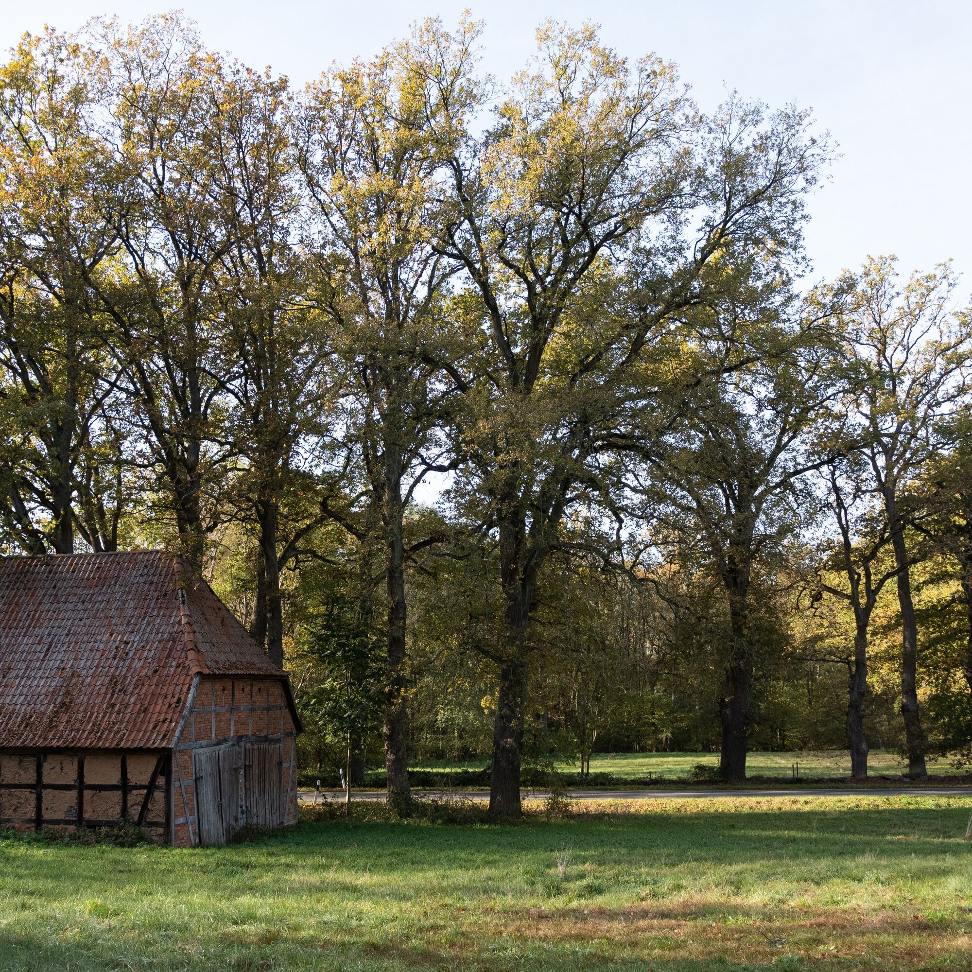
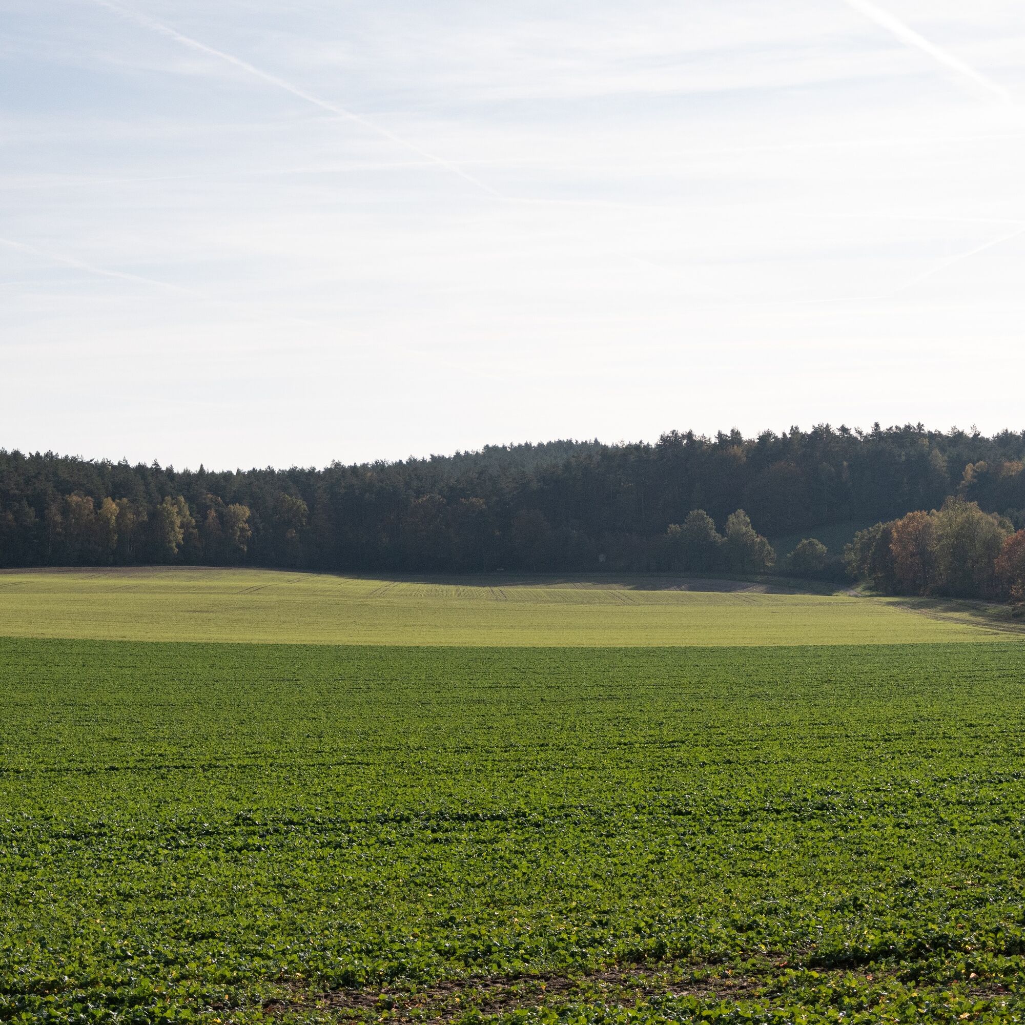
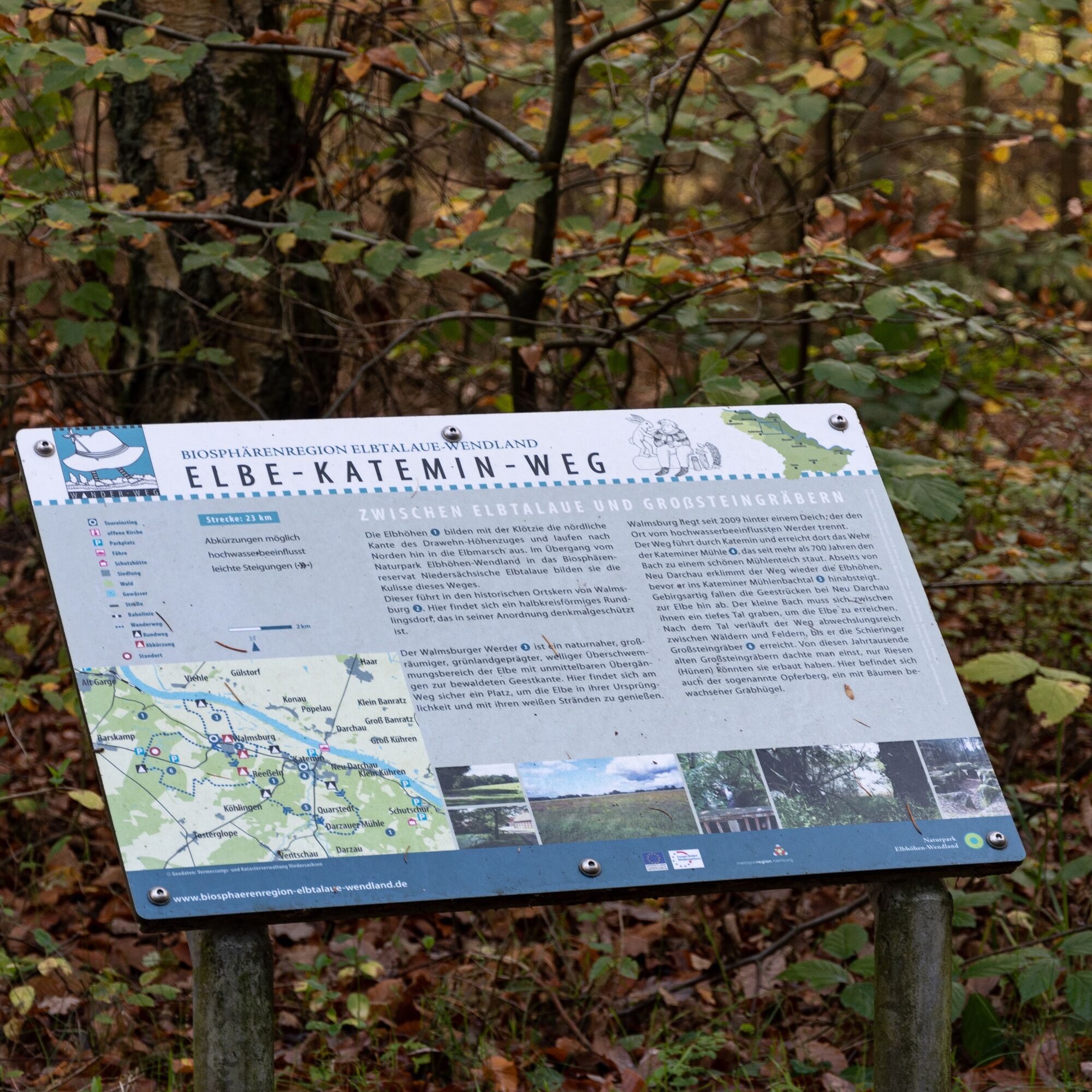

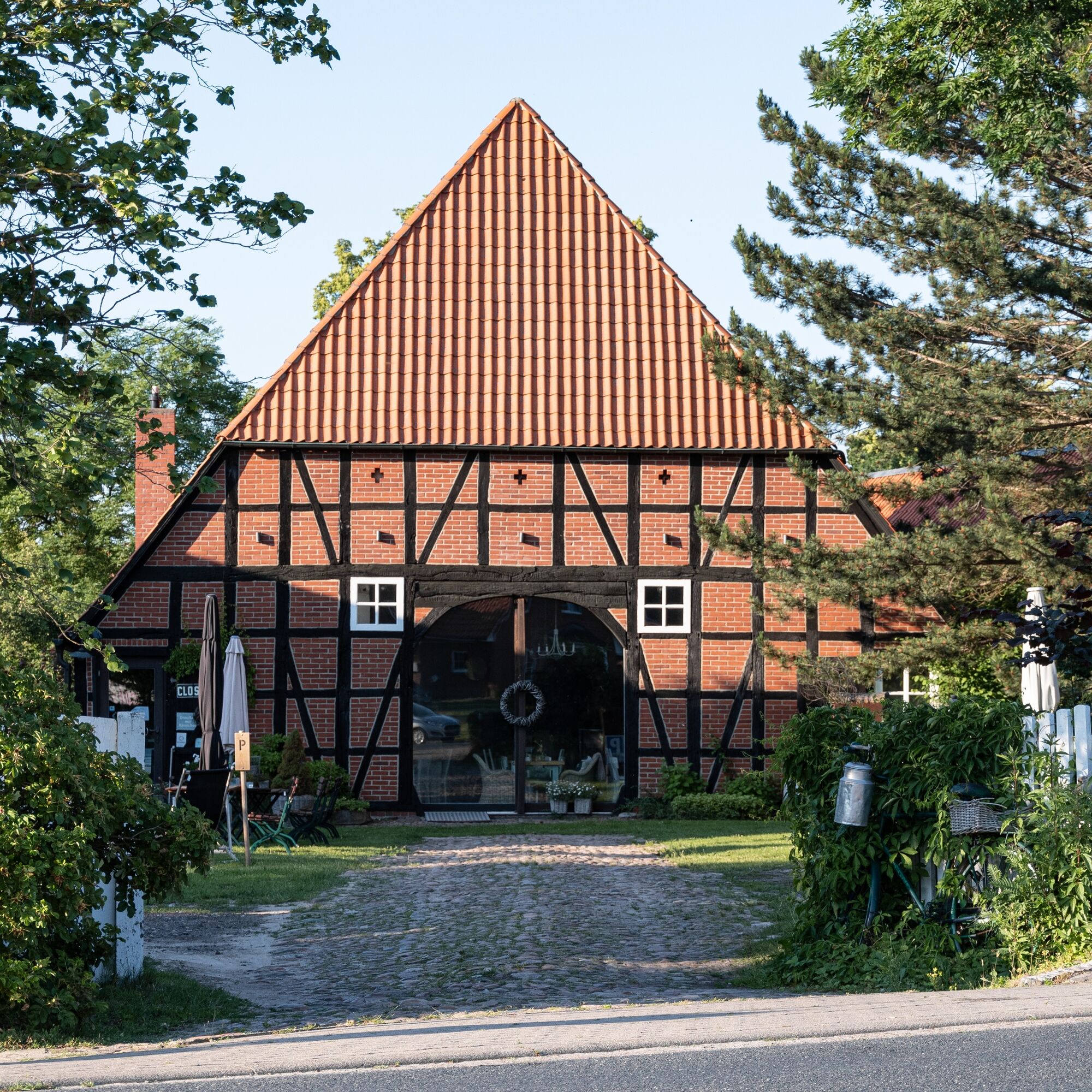


Your hike on the Elbe-Katemin-Way starts at the weir of the Katemin mill, which has been damming the stream into a beautiful mill pond for more than 700 years. The path leads you through Katemin and reaches the FFH area "Elbe lowlands between Schnackenburg and Geesthacht." After a detour through the Elbe floodplains, you reach Walmsburg, where you turn right onto Wiesenweg. From Kateminer Straße, you turn right again and climb the Elbe heights until you reach the Schieringen megalithic tombs. Here is also the so-called Opferberg, a tree-covered burial mound. The trail continues variably through woods and fields until it descends again into the Katemin mill stream valley. You pass Quarstedt and the Darzau mill. The geest ridge drops steeply like a mountain towards the Elbe; here the small mill stream has to carve a deep valley to reach the Elbe. On the last stage, you follow the stream, which leads you back to the starting point of the hike.
Tak
Sturdy footwear and a rain jacket are recommended!
affected by flooding
From Hamburg, take the A1 (signposted towards Bremen) and the A39 (signposted towards Lüneburg) to Lüneburg and then follow the B216 (signposted towards B216/Dannenberg/Dahlenburg/Bleckede) to Neu Darchau.
From Berlin, take the A10 (signposted towards Hamburg) and continue on the A24 (also towards Hamburg) and A14 to Ludwigslust. From there, follow the B191 to Dannenberg and take the K13, K36, and L231 to Neu Darchau.
The nearest train station is Lüneburg, which can be easily reached by train from anywhere. From Lüneburg, take bus 5300, which takes you directly to Neu Darchau. Get off at: Neu Darchau Post
At certain times, these buses operate as RUF buses. You can reach the RUF buses by phone at +49 5841 977 377.
Various parking spaces are located throughout the town of Neu Darchau (29490).
The listed circular village Walmsburg offers a great rest opportunity with its historic town center!
Popularne wycieczki w okolicy
- 5,0
Kulturell durch die Ostheide
średniJazda na rowerze 25,5 km Vogelkieker-Route
średniJazda na rowerze 48,9 kmBiosphere Crossing
średniJazda na rowerze 44,8 kmGentle mighty trees route
światłoWędrówka 1,94 kmWald und mehr
światłoJazda na rowerze 40,8 kmAmt Neuhaus - die Arche mit Lust auf Vielfalt
średniJazda na rowerze 23,6 kmNaturlehrpfad Naturum Göhrde
światłoWędrówka 4,99 kmEntlang der Grenze (V Grenzturm Darchau)
światłoWędrówka 8,02 kmWanderweg Breetzer Berge - Findlingsring
średniWędrówka 12,0 kmKlötzie-Stieg
ciężkiWędrówka 29,2 km
Wędrówki i tropienie


Nie przegap ofert i inspiracji na następne wakacje
Twój adres e-mail została dodana do listy mailingowej.





