


Short hike to the Hohe Mechtin
The center of the Drawehn ridge, at 147 meters, is the Hohe Mechtin, which you can reach from the car park in Spranz via a wide hiking route. It is a nice short hike of 2 km across meadows and the deciduous-mixed...
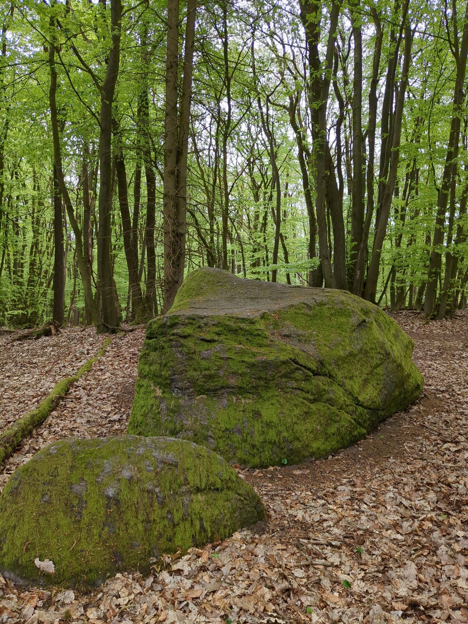
The center of the Drawehn ridge, at 147 meters, is the Hohe Mechtin, which you can reach from the car park in Spranz via a wide hiking route. It is a nice short hike of 2 km across meadows and the deciduous-mixed forest of the Drawehn ridge. A great hike for families for a half-day outing. The shelter on the highest point in the Wendland lies in a beautiful piece of deciduous forest that invites young and old to linger. A 30-meter high publicly accessible lookout tower offers a great panoramic view. The so-called Viscope on the platform offers a 360-degree view, where you can identify the most important landmarks in the surroundings.

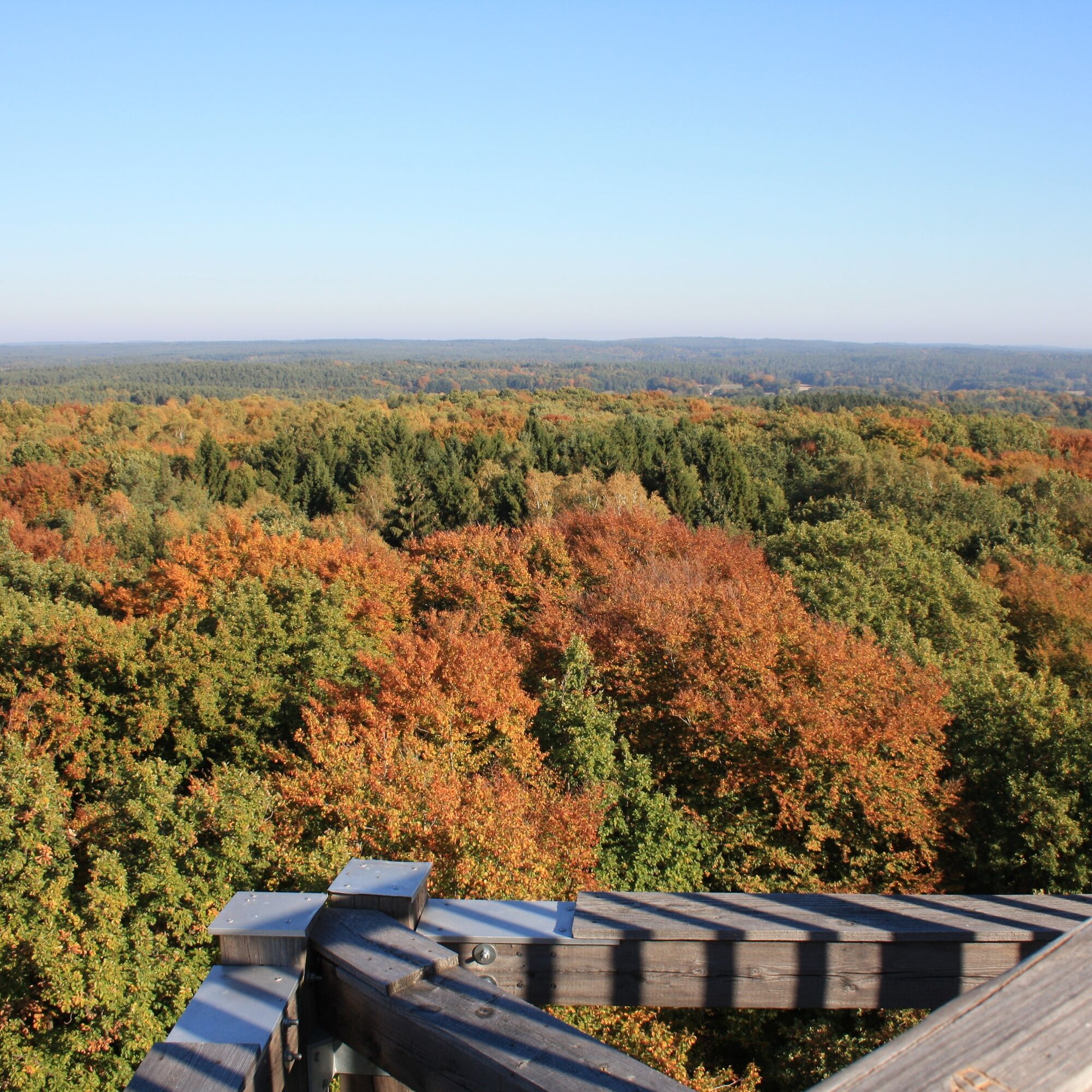
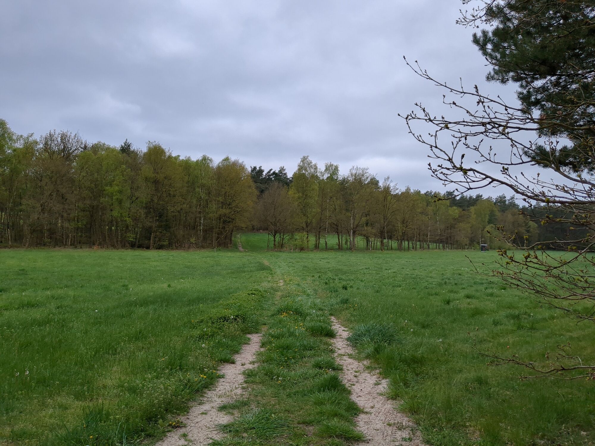
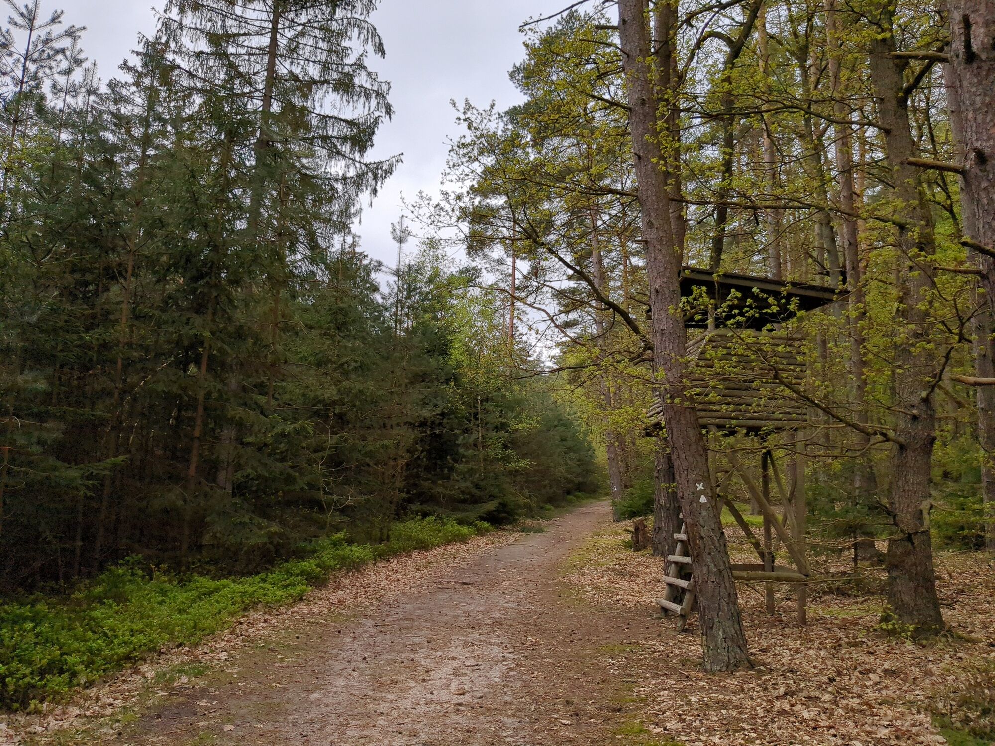
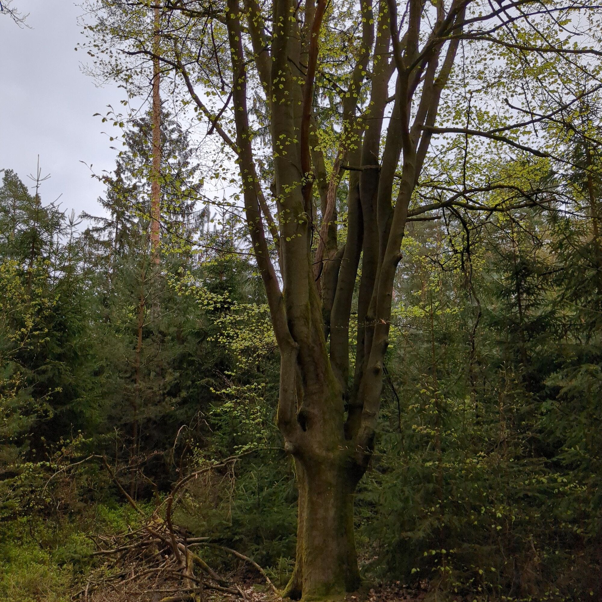
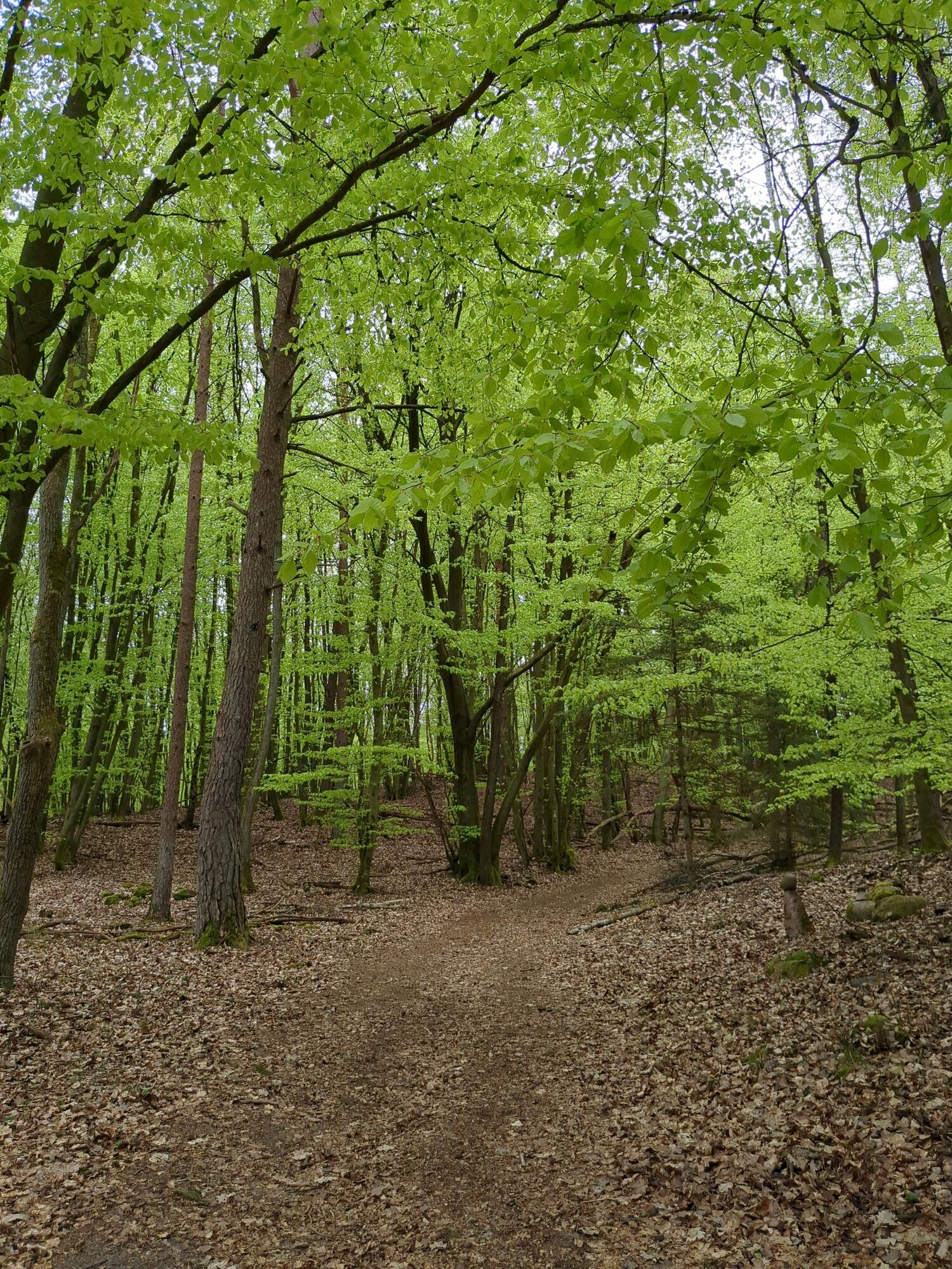
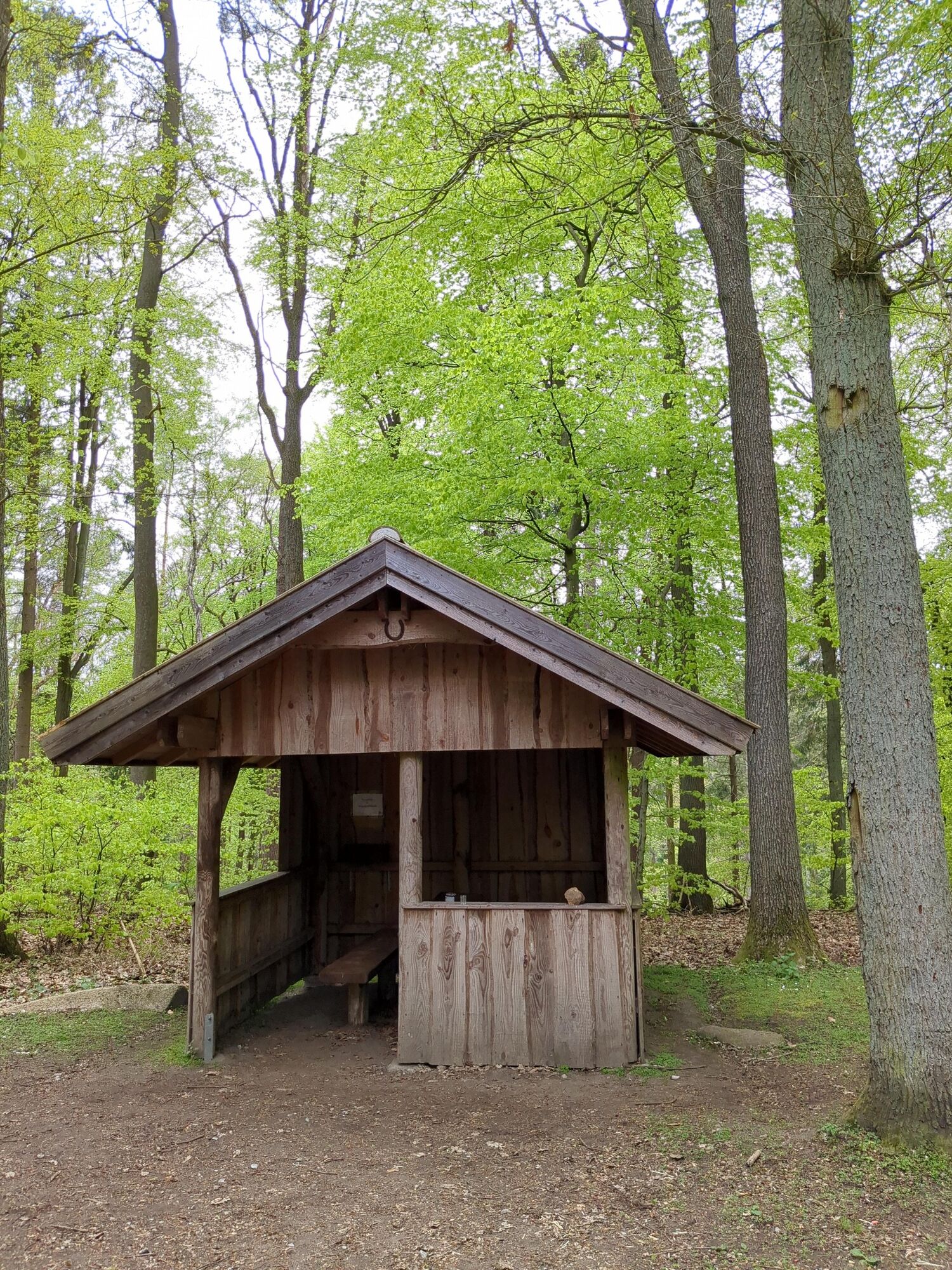
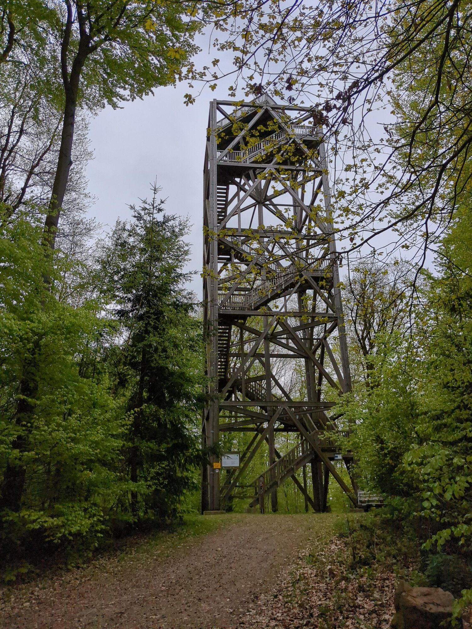
From the hiking car park, the route initially starts slightly downhill through a small piece of forest. Soon you reach a meadow which you cross straight ahead and then enter the deciduous-mixed forest of the Drawehn ridge. You follow the wide forest path, which is mostly quite flat, with a brief uphill, through the deciduous forest. At a T-junction, turn left and you will soon reach the destination with the shelter on your right and the lookout tower on your left.
Tak
Tak
Sturdy footwear and a rain jacket are recommended!
From Hamburg, take the A1 (signposted towards Bremen), A39 (signposted towards Lüneburg) to Lüneburg. There take the B216 (signposted towards B216/Dannenberg/Dahlenburg/Bleckede) to Göhrde. In Göhrde turn right towards Zernien.
From Berlin, take the A10 (signposted towards Hamburg), A24 (also towards Hamburg), and continue on B191 (towards Dannenberg/Celle). Shortly before Zernien, turn left towards Redemoissel and then follow the signs towards Redemoissel/Spranz up to the village entrance of Spranz.
A hiking car park is located in the village of Spranz. Follow the signs to the car park, which start just behind the village entrance.
Coordinates:
Geographical: 53.05517, 10.925304
UTM 32U 629036 5880141
Popularne wycieczki w okolicy
-
Wendland-Tour
światłoJazda na rowerze 59,6 km -
Zur Elbe
ciężkiJazda na rowerze 111,7 km -
Naturlehrpfad Naturum Göhrde
światłoWędrówka 4,99 km -
Klötzie-Stieg
ciężkiWędrówka 29,2 km -
Clenzer-Schweiz-Weg
średniWędrówka 19,4 km -
Wendland-Tour
średniJazda na rowerze 49,2 km -
Von Dübbekold nach Samatz
światłoWędrówka 6,89 km -
3 Museen: Ein Rundweg
światłoJazda na rowerze 21,0 km -
Gentle mighty trees route
światłoWędrówka 1,94 km -
Kiefen - Grünen Mühle
średniJazda konna 15,6 km

Wędrówki i tropienie


Nie przegap ofert i inspiracji na następne wakacje
Twój adres e-mail została dodana do listy mailingowej.