







Winter hiking on the Gschaidt Forest Experience Trail
20 subject areas are waiting to be explored.
1. use of wood: Wood, our most important raw material
2. young forest: reforestation of deciduous and coniferous trees
3. the large copper beech: a common tree...
20 subject areas are waiting to be explored.
1. use of wood: Wood, our most important raw material
2. young forest: reforestation of deciduous and coniferous trees
3. the large copper beech: a common tree in the forests of eastern Austria
4. forest edge: transition from high forest to meadows and fields
5. flasch'n cross: in memory of the Flasch siblings
6. forest and meadow habitat: and its agricultural use
7. three-country corner lookout point: a view of large parts of Lower Austria, Burgenland and Styria
8 Bösendorfer: wood for fine pianos from our forests
9. sound wood: wood as a good sound conductor (tree telephone)
10. ants: little forest protectors
11. paths in the forest: lifelines that run through the forest
12. mushrooms: from edible to poisonous mushrooms
12. the 250-year-old Scots pine: a seed tree that ensures the survival of its species
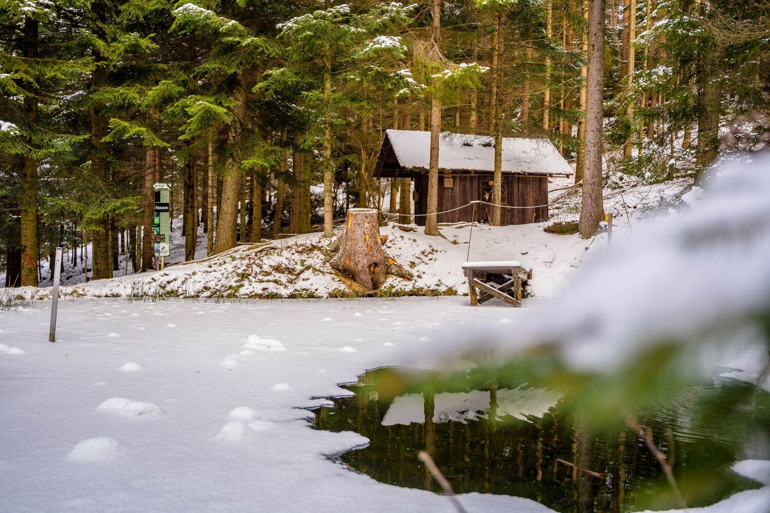
14. the ice pond: from "icebox" to biotope
15. tree slice: events in Gschaidt and Austria
16. barefoot course: sensory pleasure for big and small feet
17. biomass: the healthy alternative for energy production
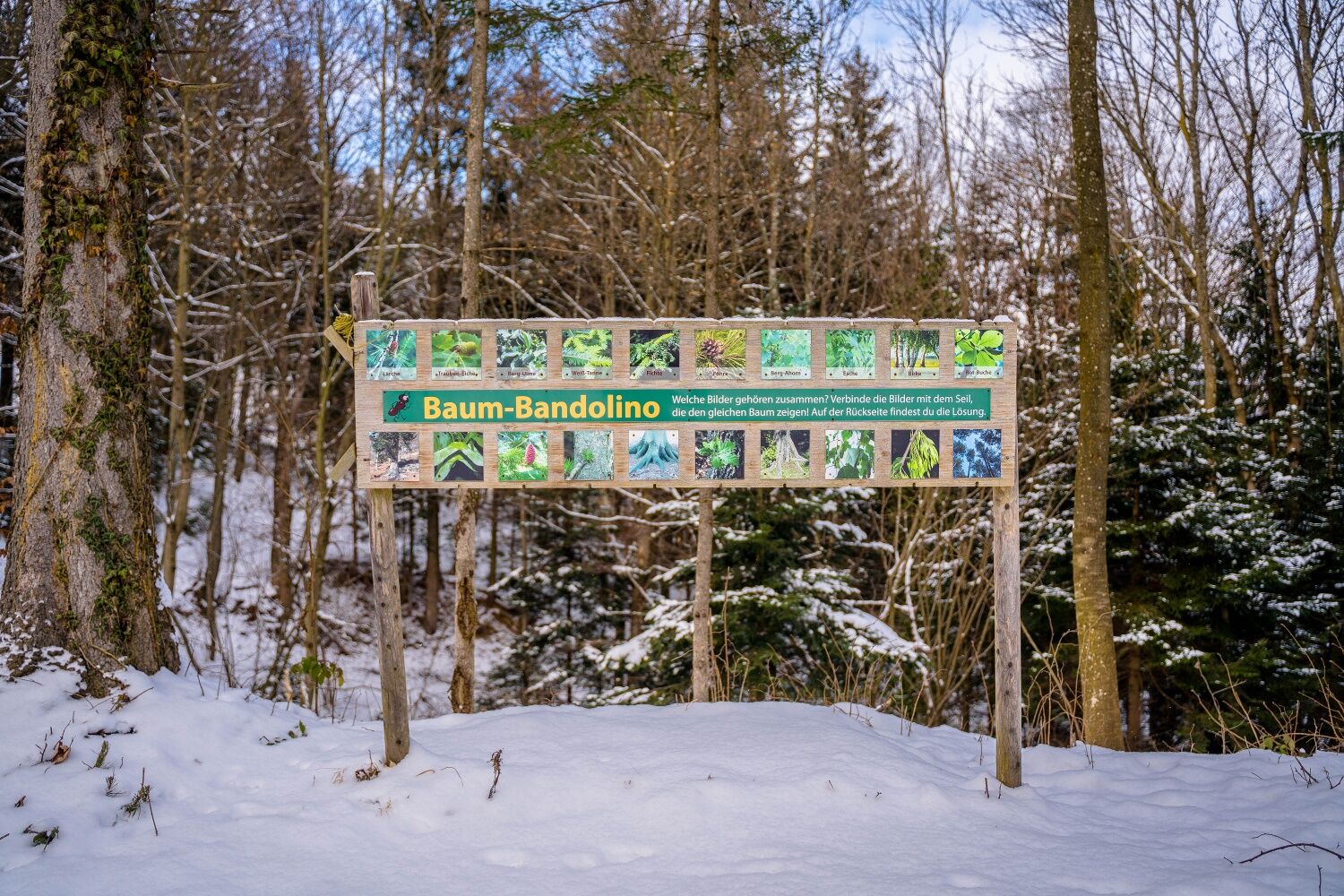
18. tree quiz: 10 trees introduce themselves
19. ditch vegetation: plants by the wayside
20. the largest trees in Hochneukirchen-Gschaidt: surrounded by the kindergarten children
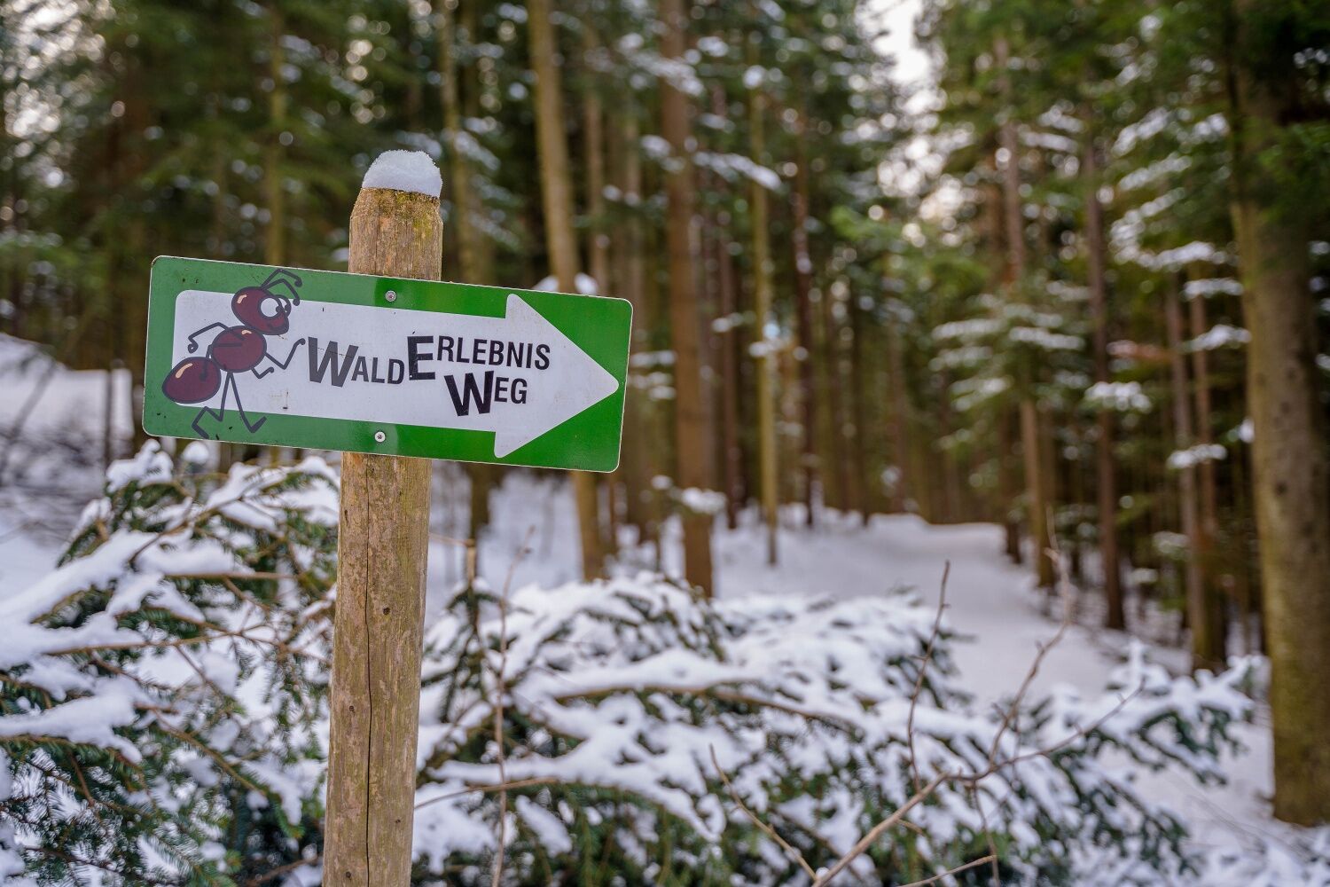
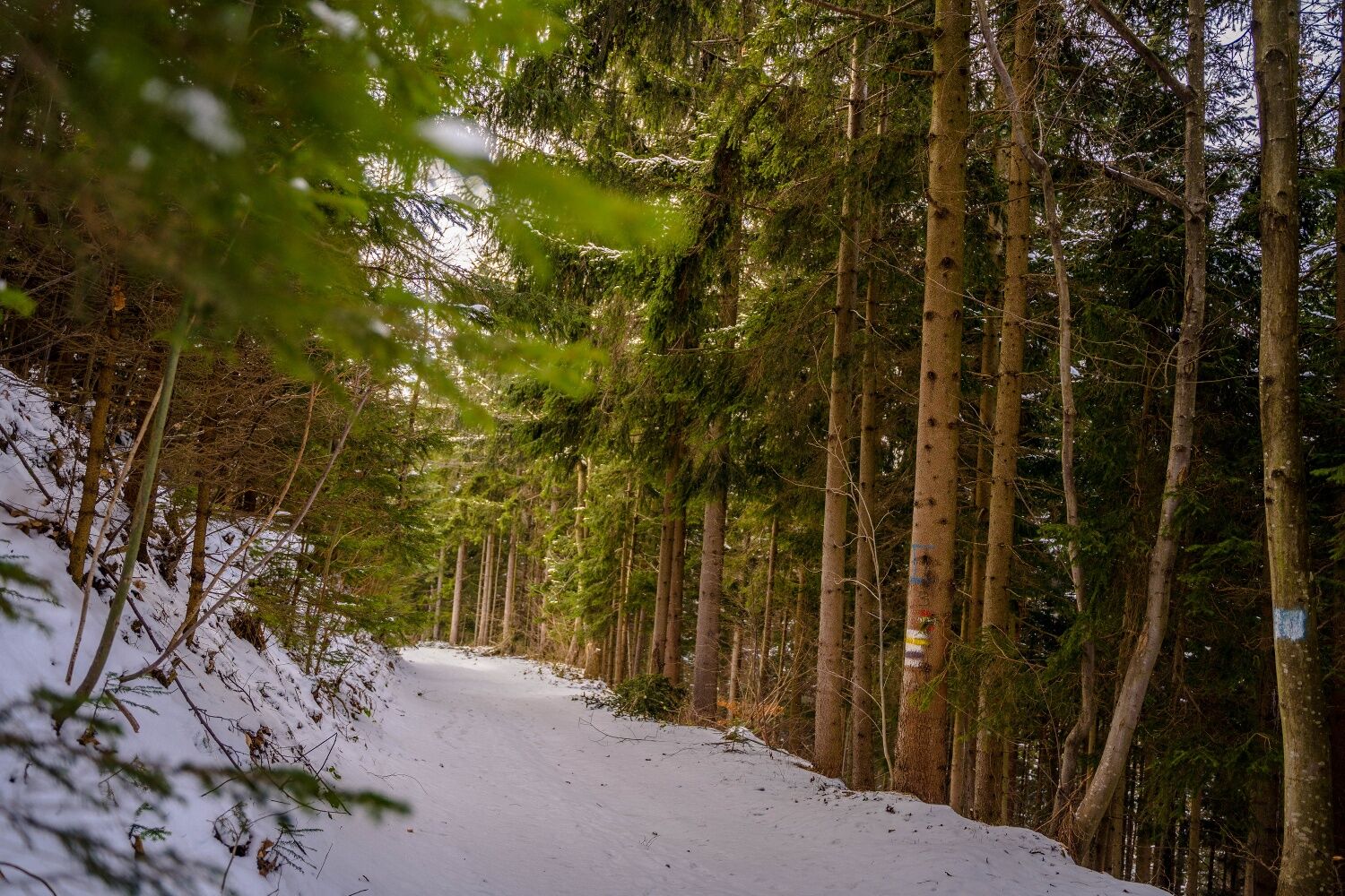

You pass by the St. Magdalena Church, then turn left. Follow this street, which leads to the hiking trail. Here you can decide in which direction to take the circular route. Then follow the signage (wandering ant) and return along the same path to the village square for the last section.
Always take suitable maps. Wear sturdy shoes appropriate for the route, take sun and rain protection as well as water and a snack. Take your mobile phone with you and save the mountain rescue emergency number: 140
Don’t forget headgear and gloves, and in any case avoid hypothermia!
Your hikes in the Vienna Alps should be a completely beautiful and safe experience. Please therefore note the following:
Preparation
Make sure when choosing the route that it matches your mountain experience and fitness. Check the weather report in advance. Weather in the mountains can change very quickly. Always set off accordingly equipped (e.g., rain gear).
Check whether the huts and snack stations you want to visit along the way are open. Inform someone about your route choice and planned return before you set out.
More safety tips for your hike can be found here.
Warning, this hiking trail goes through the forest, it is not cleared and may have slippery spots in snowy conditions. Use at your own risk. Pay attention to early dusk and plan your tour particularly carefully. Also drink enough water in winter.
From Vienna take the South Motorway A2, take the Schäffern exit. Turn left onto L424. Follow L424 and L146 to Gschaidt.
From Graz take the South Motorway A2 to Haideggendorf, take the Pinggau exit. At the roundabout take the first exit (Steinamangerer Str./Tanzegg/B63), turn left onto L146. Follow L146 to Gschaidt.
Find more information at www.oebb.at and www.vor.at
There is ample parking at the village square.
Vienna Alps in Lower Austria, www.wieneralpen.at, +43 / 2622 / 78960
Opening hours: Mon - Thu 08:30 - 16:00 / Fri 08:30 - 13:00
Experience region Bucklige Welt south, www.buckligewelt.info
Municipality of Hochneukirchen-Gschaidt, www.hochneukirchen-gschaidt.at
Especially the frozen ice pond is a beautiful sight and a real place of peace in winter.
In Gschaidt, there are milk and cheese products from the Reithofer family available directly from the farm to take away.
Just a 5-minute drive away, weather permitting, you can also enjoy archery or warm up again in the new inn s'Hutwisch in Hochneukirchen.
Uzyskaj wgląd
Zawsze na żywo z ponad 9 500 kamer internetowych. bergfex Jako użytkownik Pro, możesz teraz zobaczyć odpowiednie kamery internetowe dla wielu wycieczek w aplikacji wycieczki od. Pozwala to na bezpośredni podgląd aktualnych warunków.
Popularne wycieczki w okolicy
-
4,5
Bad Schönau - Hutwisch
światłoWędrówka 9,99 km -
4,2
"Weg der Blicke"
światłoWędrówka 5,86 km -
4,7
Mönichkirchner Genussrunde
światłoWędrówka 10,1 km -
4,4
B53 Edelserpentin
średniJazda na rowerze 23,5 km -
4,4
BAD-SCHÖNAU Hutwisch und wieder zurück 20220611
średniWędrówka 10,8 km -
4,8
Bakabu children's adventure trail to Hutwisch
średniTrasa tematyczna 5,42 km -
4,3
Hallerhaus - Runde
Wędrówka 4,47 km -
4,7
S24 Neustiftrunde
Wędrówka 9,22 km -
4,8
B41 Zöberntal-Rabnitztal cycle trail
średniJazda na rowerze 40,7 km -
5,0
Rundwanderweg, Rohrbach-Kroisegg-Kroisbach-Neustift-Lafnitz-Rohrbach
średniWędrówka 12,1 km
Wędrówki i tropienie


Nie przegap ofert i inspiracji na następne wakacje
Twój adres e-mail została dodana do listy mailingowej.





