






Winter hiking trail to the Steyersberger Schwaig
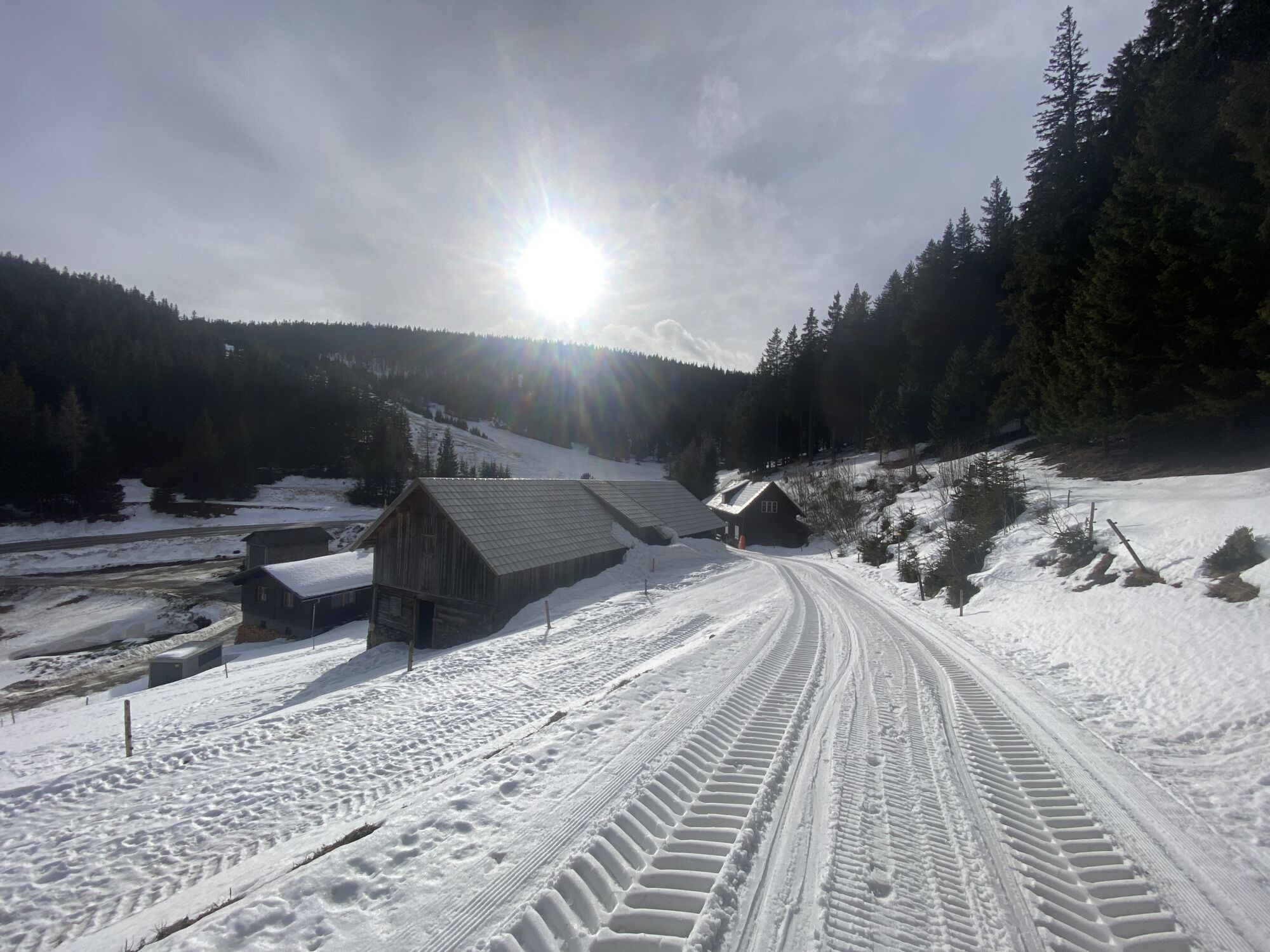
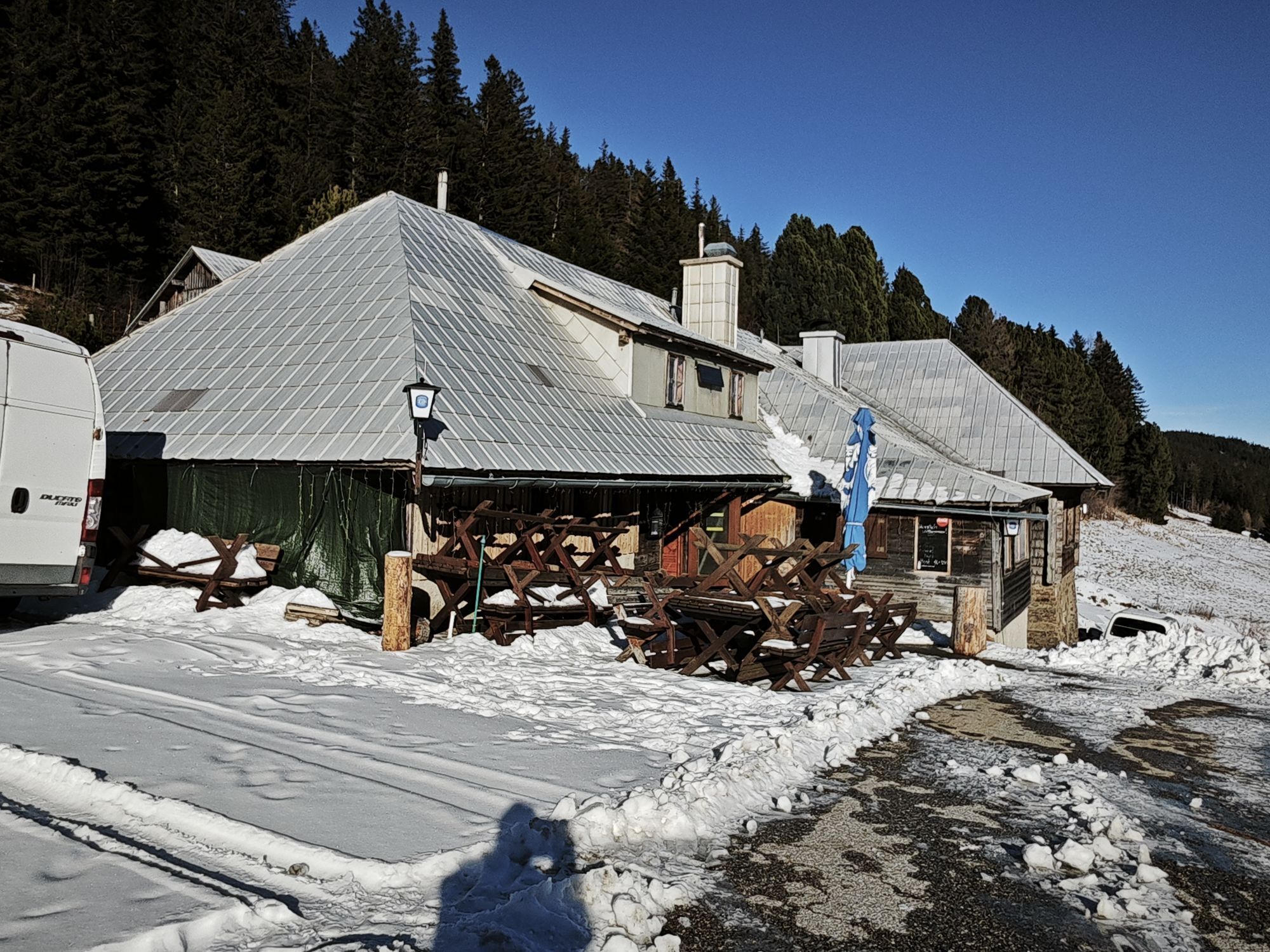
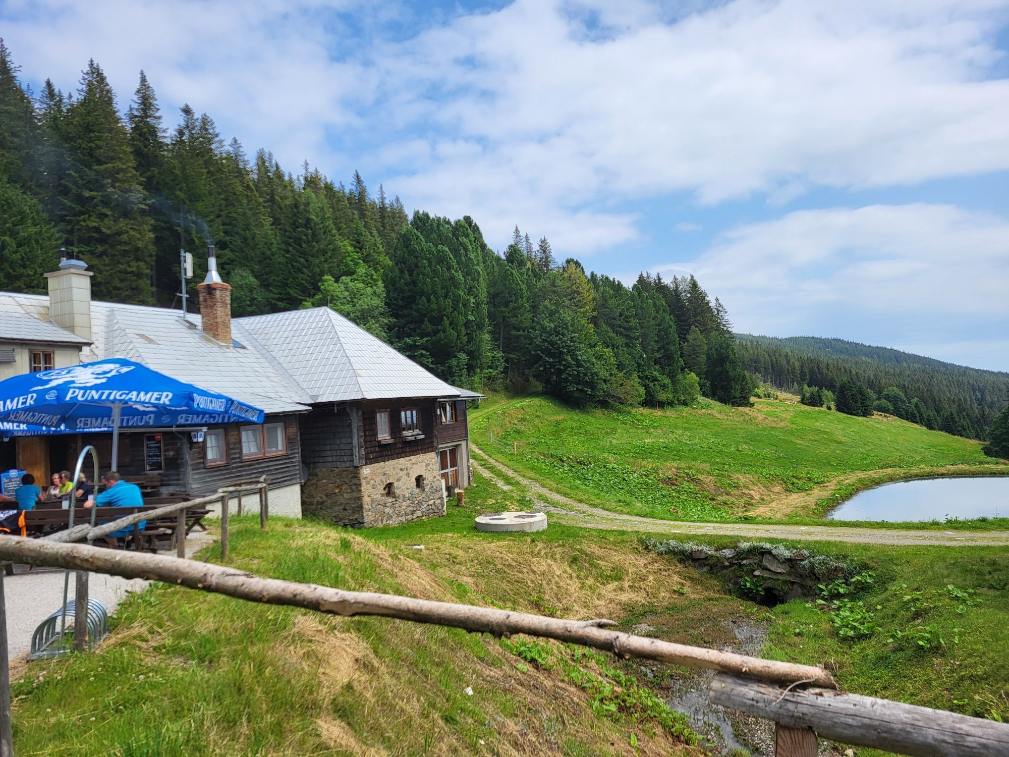
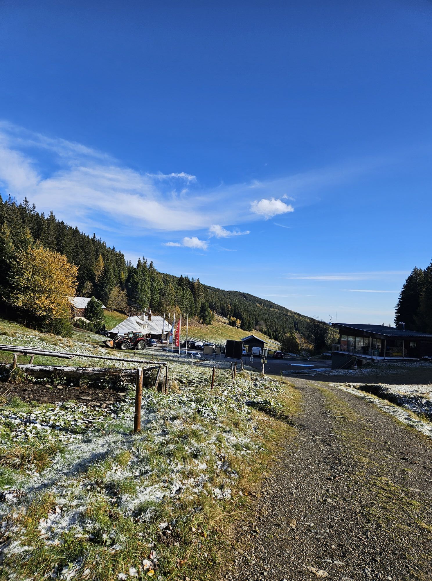
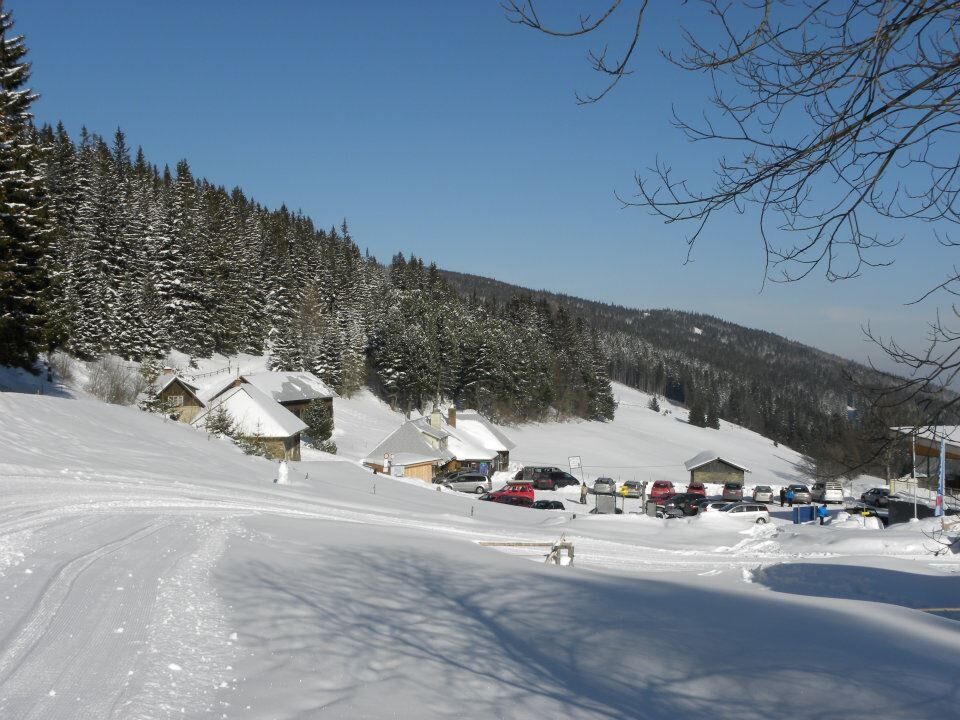
This hike starts shortly after the reservoir pond of the company Eisenhuber at the bend. Uphill, always along the forest road, the path leads directly to the Steyersberger Schwaig. Return takes the same...
<p>This hike starts shortly after the reservoir pond of the company Eisenhuber at the bend. Uphill, always along the forest road, the path leads directly to the Steyersberger Schwaig. Return takes the same path or you walk back along the road to the starting point.</p>


<p>Always carry suitable maps. Wear sturdy shoes appropriate for the route. Bring your mobile phone and save the mountain rescue emergency number: 140</p><p><strong>Preparation</strong></p><p>Make sure when choosing the route that it matches your experience and fitness. Check the weather forecast in advance. The weather in the mountains can change unexpectedly fast. Always start out properly equipped (e.g. rain protection).</p><p>Check if the inns you plan to visit on the way are open. Inform someone about your chosen route and planned return time before you leave.</p>
<p>By car via the A2 exit Aspang/Edlitz – Kirchberg am Wechsel – in the direction of St. Corona on the state road 137, 1 km after leaving the town, then turn right and follow the road for 6 km.</p><p>or</p><p>via the A2 – S6 exit Gloggnitz – Otterthal – Kirchberg am Wechsel – in the direction of St. Corona on the state road 137, 1 km after leaving the town, then turn right and follow the road for 6 km.</p>
<p>There are some parking spaces directly at the bend after the reservoir pond.</p>
Responsible for the content of this route
Vienna Alps in Lower Austria
Last Update: 23.03.2025
Place to stop at the Steyersberger Schwaig
Uzyskaj wgląd
Zawsze na żywo z ponad 9 500 kamer internetowych. bergfex Jako użytkownik Pro, możesz teraz zobaczyć odpowiednie kamery internetowe dla wielu wycieczek w aplikacji wycieczki od. Pozwala to na bezpośredni podgląd aktualnych warunków.
Popularne wycieczki w okolicy
-
4,8
Hochwechsel-Runde, Waldbach-Mönichwald
średniTrailrunning 17,9 km -
4,8
Cultural walk Payerbach-Reichenau
światłoWędrówka 7,43 km -
3,7
Schwaigen Rundwanderung
światłoWędrówka 8,24 km -
3,8
St. Corona - Kampstein
średniWędrówka 10,7 km -
4,6
Mariensee - Wildwasserweg - Marienseer Schwaig
światłoWędrówka 8 km -
4,7
Hochwechsel - Tour
Wędrówka 18,5 km -
4,6
Romai Wasserfall Runde, St. Jakob im Walde
średniWędrówka 11,4 km -
4,5
Klamm - Speckbacherhütte - Breitenstein - Klamm
średniWędrówka 13,4 km -
4,5
Vom Semmering nach Breitenstein am Bahnwanderweg (September 2023)
światłoWędrówka 9,94 km -
4,5
Rabl-Kreuz-Hütte auf den Hochwechsel
światłoRakieta do chodzenia po śniegu 9,87 km
Wędrówki i tropienie


Nie przegap ofert i inspiracji na następne wakacje
Twój adres e-mail została dodana do listy mailingowej.





