




Winter hiking on the Kirchschlag castle hill

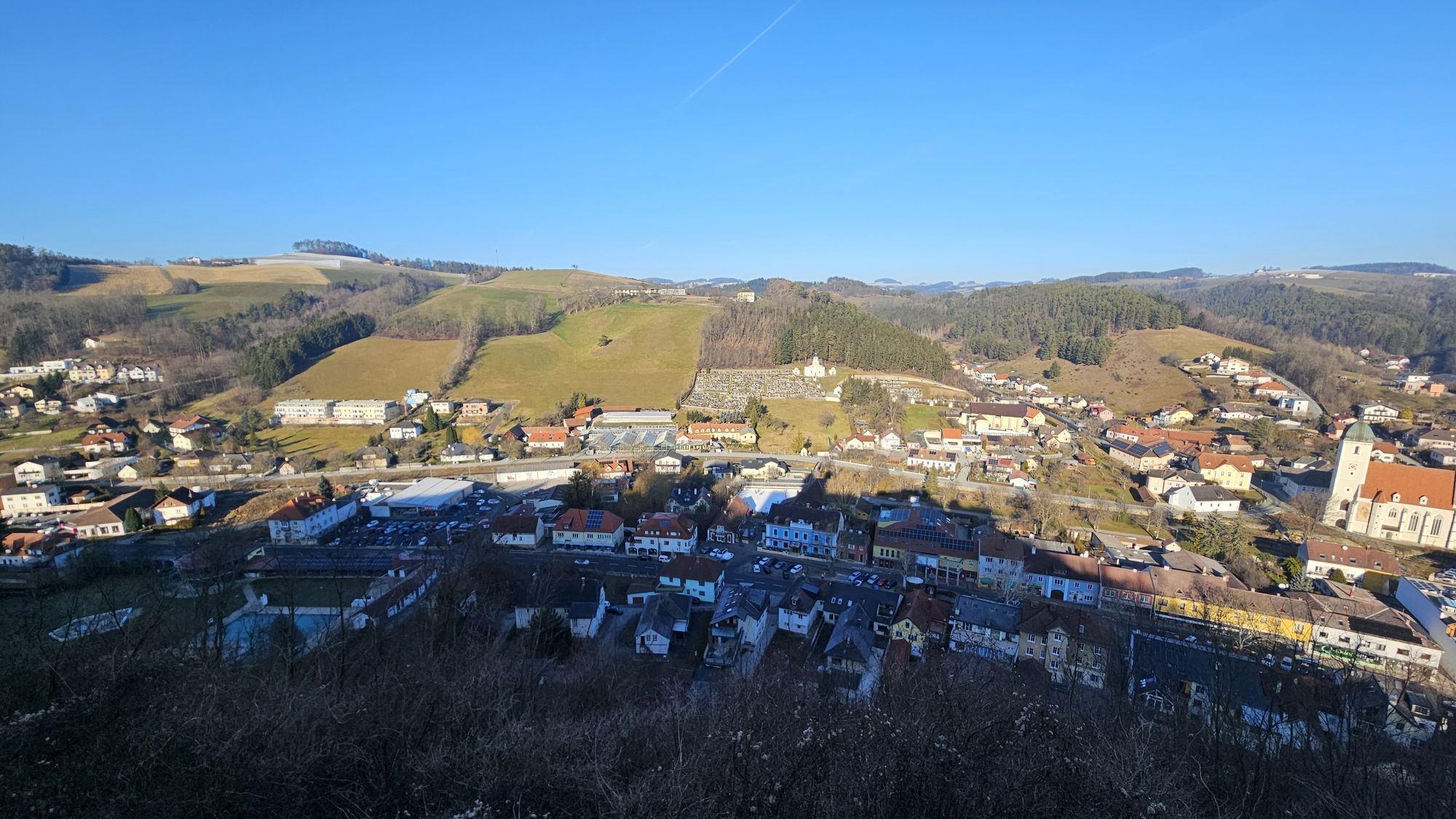
This hiking trail is a circular route that runs along the forest educational trail D13. You can start, for example, at the Hotel and Guesthouse Hönig at the main square. From there, you can already see...
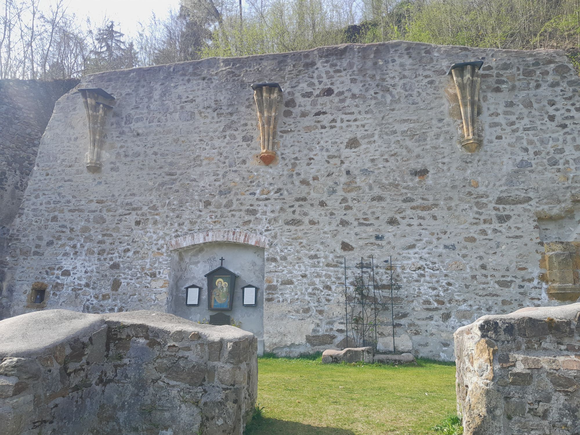
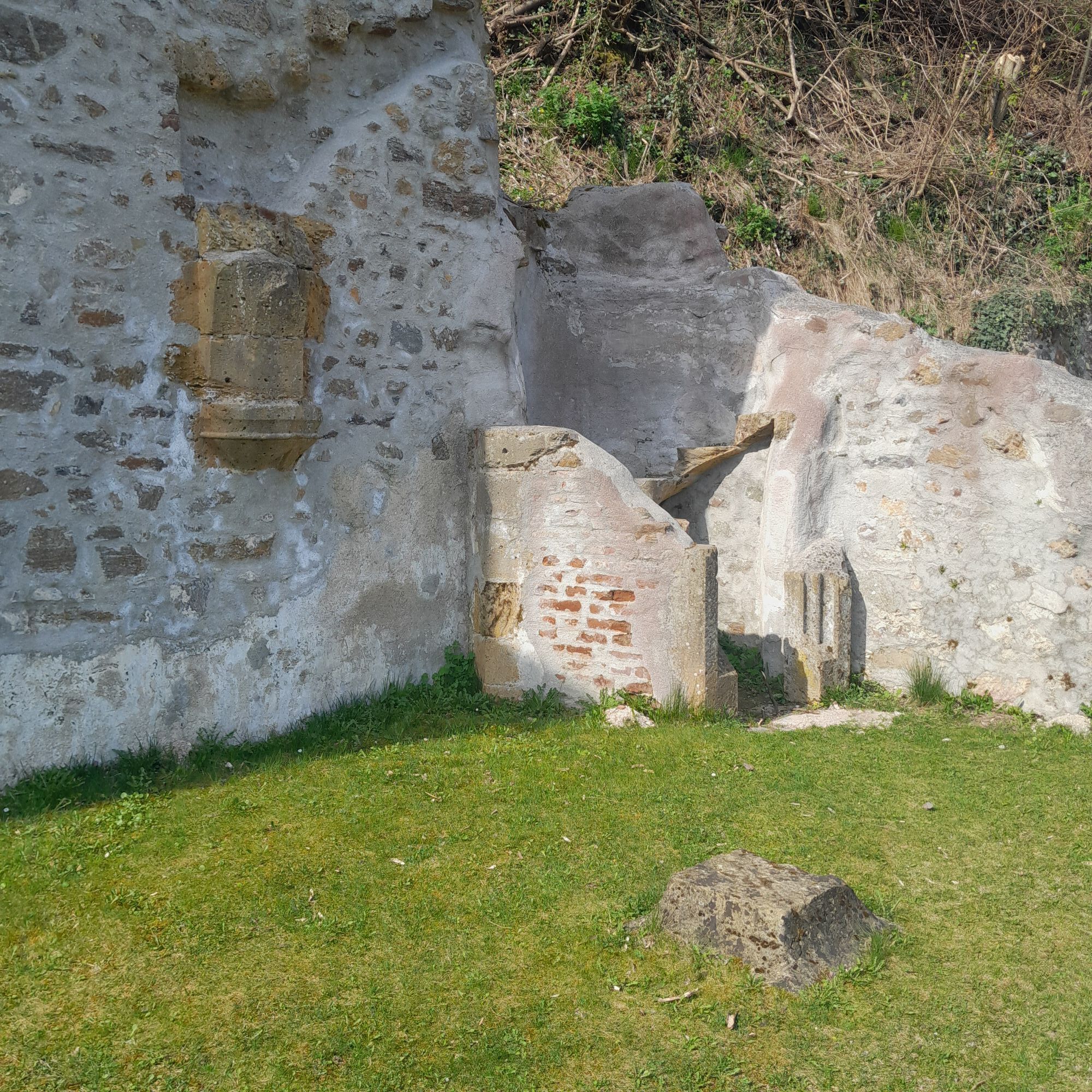
<p>This hiking trail is a circular route that runs along the forest educational trail D13. You can start, for example, at the Hotel and Guesthouse Hönig at the main square. From there, you can already see the castle ruins. The main square is very beautifully decorated during the Advent season.</p>



<p>The path starts at the parking lot next to the Hönig guesthouse and leads along the main square to the Raiffeisen bank, where it turns left into Mühlgasse and then continues to the left. Afterwards, the path follows the street course to a forest road. From there, it continues towards the castle ruins. At the next opportunity (before the castle), the path turns right (signposted "Waldlehrpfad"). At the end of the forest educational trail, a field is reached where the path goes downhill to the left. The last section leads to "Venedigstadt" and follows the road towards the town center back to the starting point.</p>
<p>Always take suitable maps with you. Wear sturdy shoes adapted to the route, take sun and rain protection as well as water and a snack. Take your mobile phone and save the mountain rescue emergency number: 140
</p><p>Don't forget headgear and gloves, and in any case avoid hypothermia!</p>
<p>Attention, this winter hiking trail goes through the forest, is not cleared in snowy conditions and can have slippery spots. <strong>Use is at your own risk.</strong> Watch the early dusk and plan your tour particularly carefully. Also drink enough water in winter.
</p><p>Your hikes in the Vienna Alps should be an all-around beautiful and safe experience. Please therefore observe the following:</p><p><strong>Preparation</strong></p><p>Make sure when choosing the route that it matches your mountain experience and fitness. Inform yourself about the weather forecast beforehand. Weather in the mountains can change suddenly and quickly. Therefore, always start out accordingly equipped (e.g., rain protection). Check whether the huts and snack stations you want to visit en route are open. Inform someone about your choice of route and your planned return before you start.</p><p>More safety tips for your hike can be found <a href="www.wieneralpen.at/sei-gut-drauf-komm...
<p>Coming from Vienna on the A2, take the Krumbach exit towards Hungary, then take the Krumbach junction. Follow the signs to Kirchschlag.</p><p>Coming from Graz, leave the A2 at the Aspang exit and drive towards Zöbern. Follow the signs to Kirchschlag.</p>
<p>From Vienna or Edlitz/Grimmenstein train station by bus to the Kirchschlag stop in the Bucklige Welt municipal office.</p><p>More info at <a href="fahrplan.oebb.at/bin/query.exe/dn&quo... or <a href="anachb.vor.at/">vor.at</a&...
<p>Parking lot at the main square or for guests of the Hotel Post directly next to the guesthouse.</p>
Vienna Alps in Lower Austria, www.wieneralpen.at, +43 / 2622 / 78960
Opening hours: Mon - Thu 08:30 - 16:00 / Fri 08:30 - 13:00
Advent market at the castle ruins on the 2nd Advent weekend
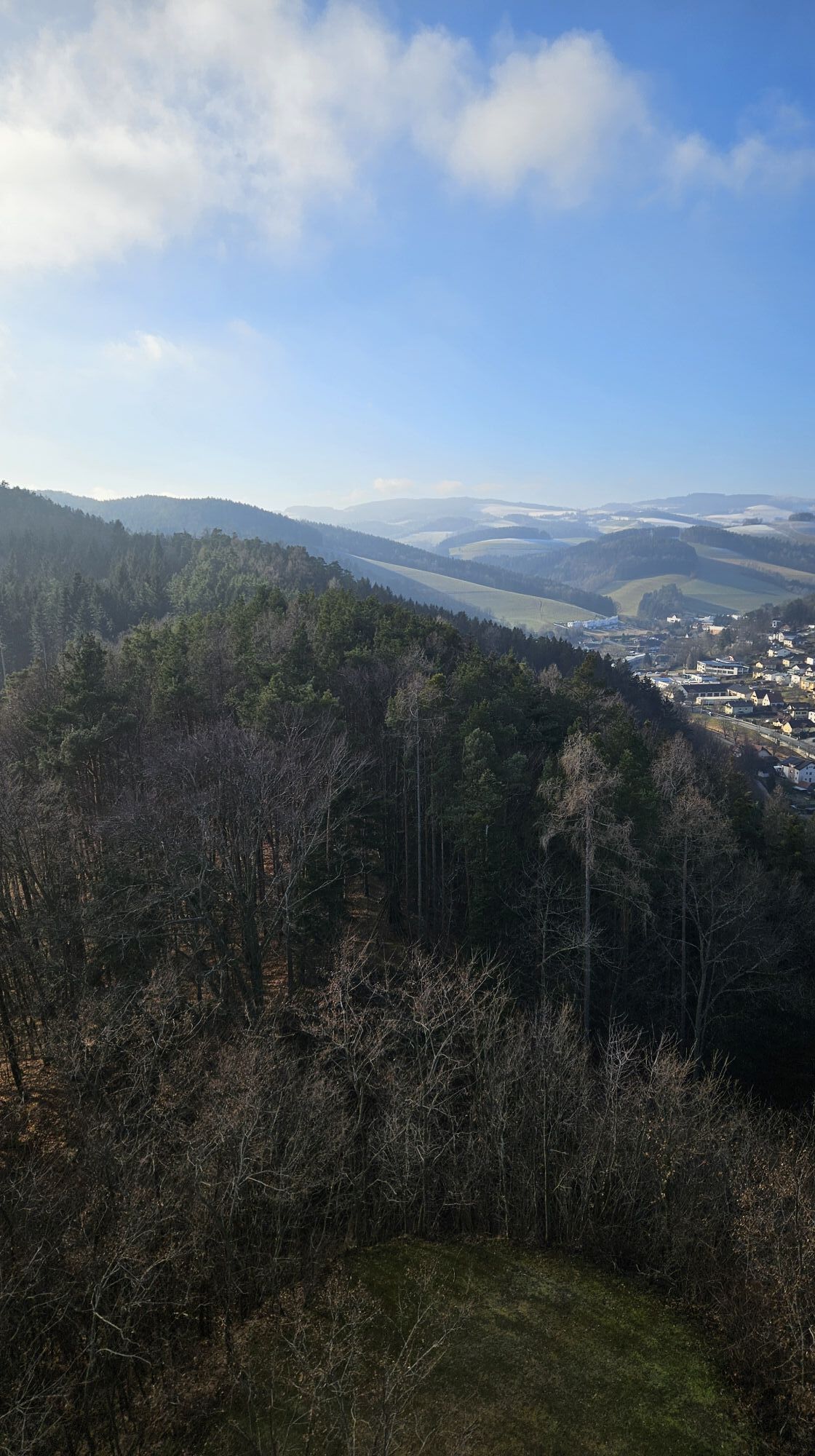
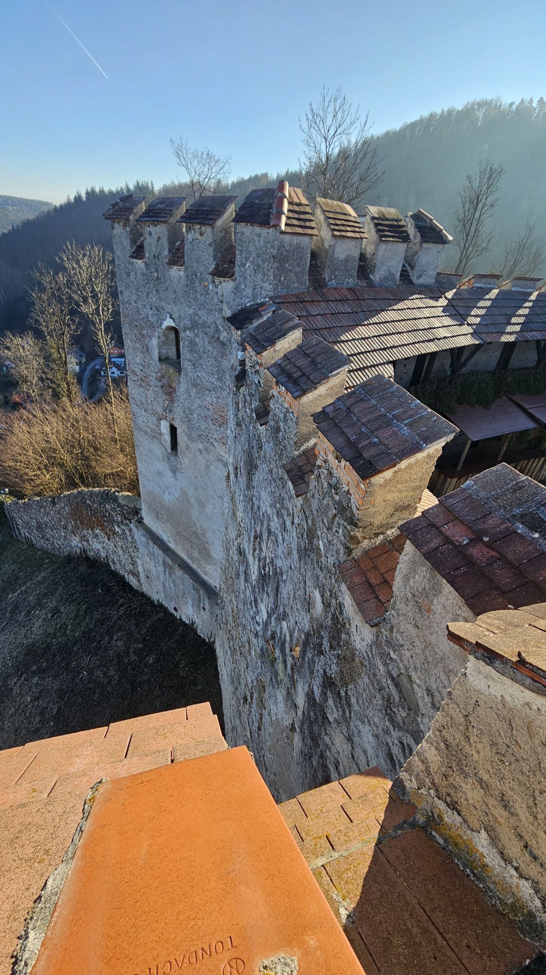
The castle ruins and the fire tower can be visited freely – plan enough time and watch out for slippery spots!
In Kirchschlag there are still many small shops at the main square – perfect for strolling.
The rose garden is also very beautifully designed.
Places to eat:
Hotel Post / Hönig Wirt
Bräuhaus Kogelbauer guesthouse
Pürrer guesthouse
Café Winhofer
Café and Bistro Koll
Popularne wycieczki w okolicy
-
4,3
"Weg der Blicke"
światłoWędrówka 5,86 km -
4,5
Bad Schönau - Hutwisch
światłoWędrówka 9,99 km -
4,4
B53 Edelserpentin
średniJazda na rowerze 23,5 km -
4,4
BAD-SCHÖNAU Hutwisch und wieder zurück 20220611
średniWędrówka 10,8 km -
2,9
Sonnenland Draisinentour
światłoJazda na rowerze 23,0 km -
4,8
B41 Zöberntal-Rabnitztal cycle trail
średniJazda na rowerze 40,7 km -
4,3
M62 From Lockenhaus to Margarethenwarte
średniWędrówka 7,20 km -
5,0
Geschriebenstein Roas
ciężkiWędrówka 55,3 km -
3,9
Willersdorf - Willersdorfer Schlucht - Kreuzberg - Aschau im Burgenland
średniWędrówka 9,41 km -
4,5
Glasgraben route
średniWędrówka 12,9 km
Wędrówki i tropienie


Nie przegap ofert i inspiracji na następne wakacje
Twój adres e-mail została dodana do listy mailingowej.


