







Winter hiking to the Hallerhaus (from Mönichkirchen)

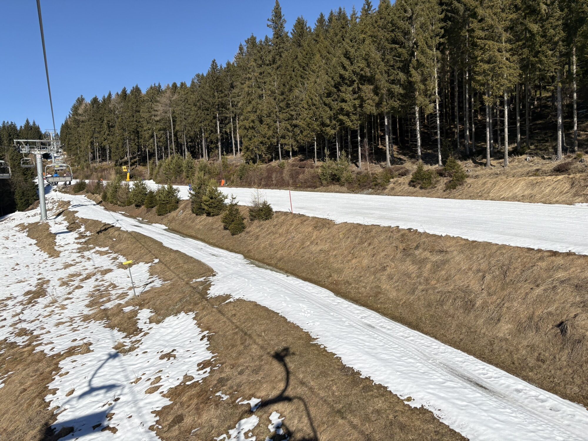
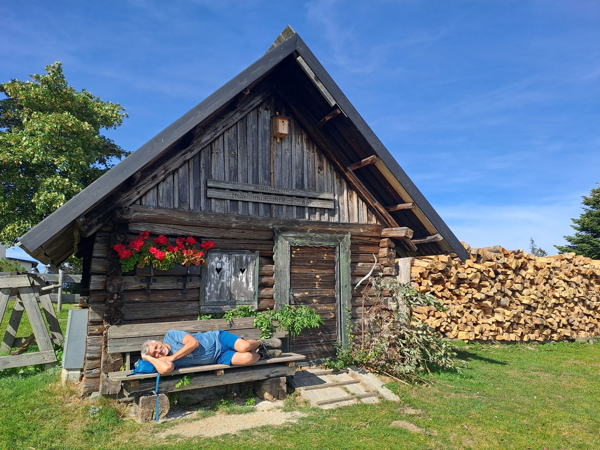
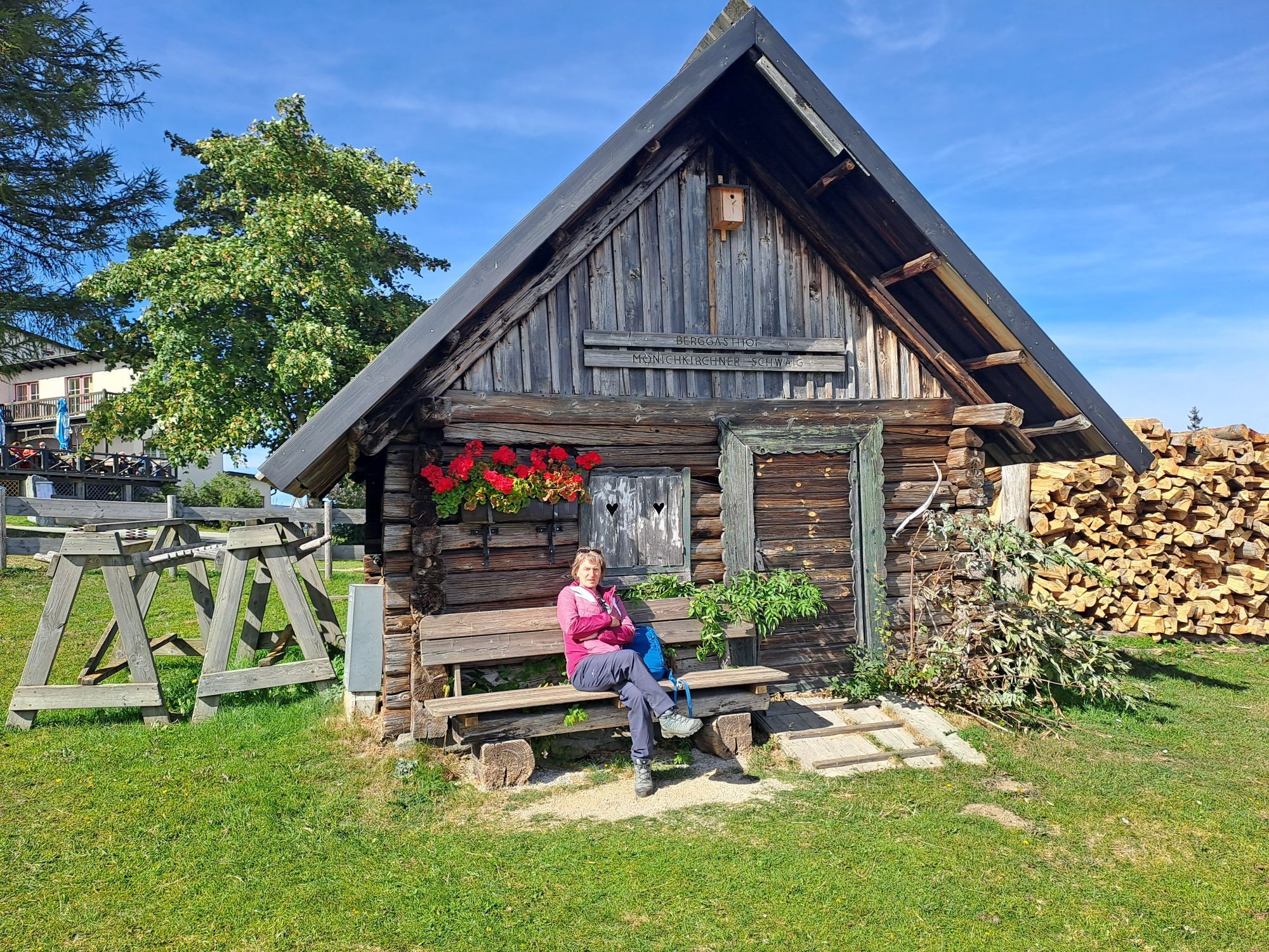
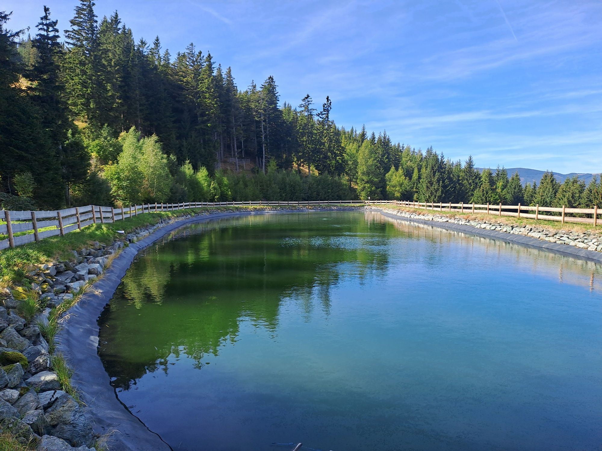
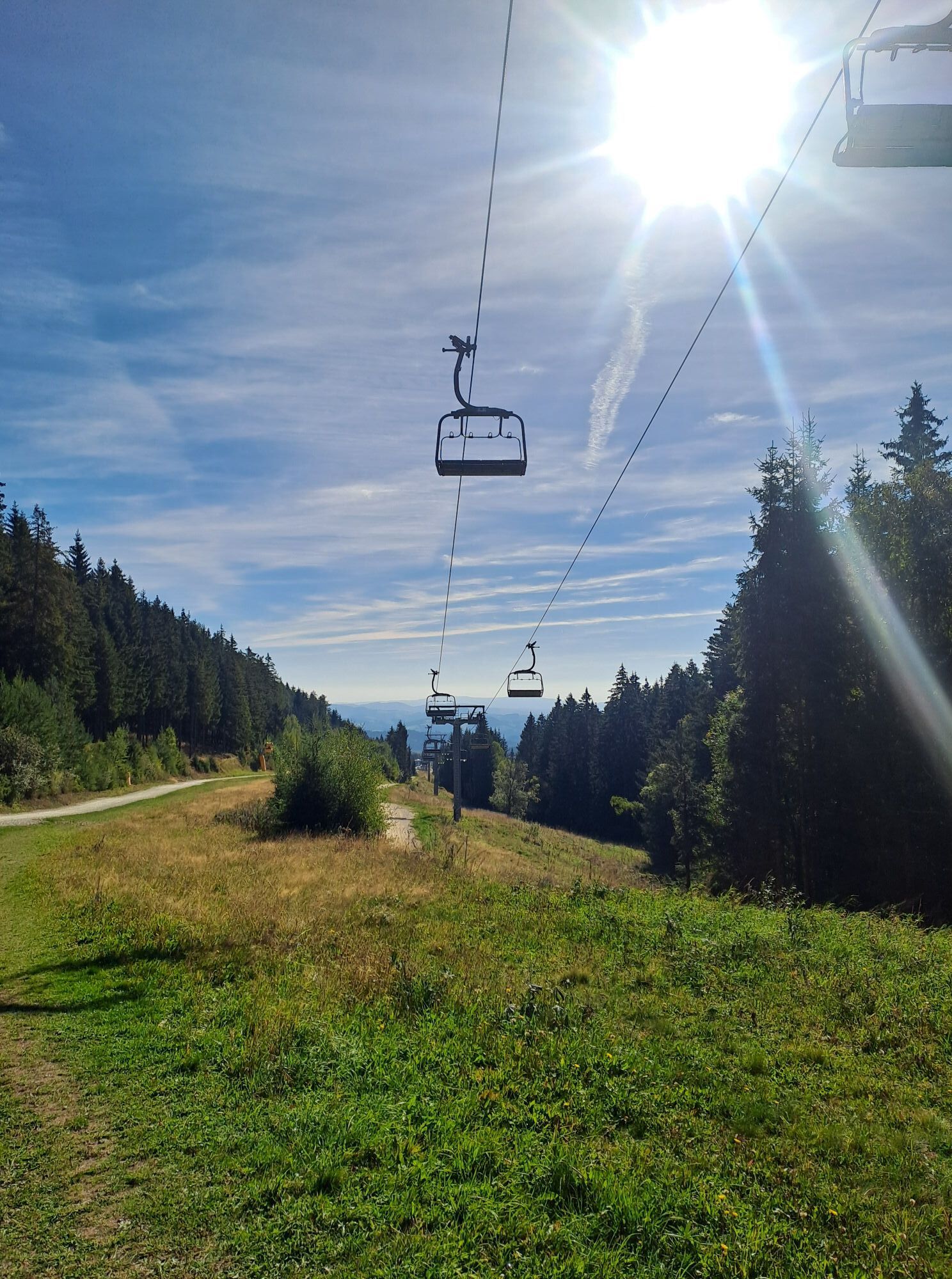
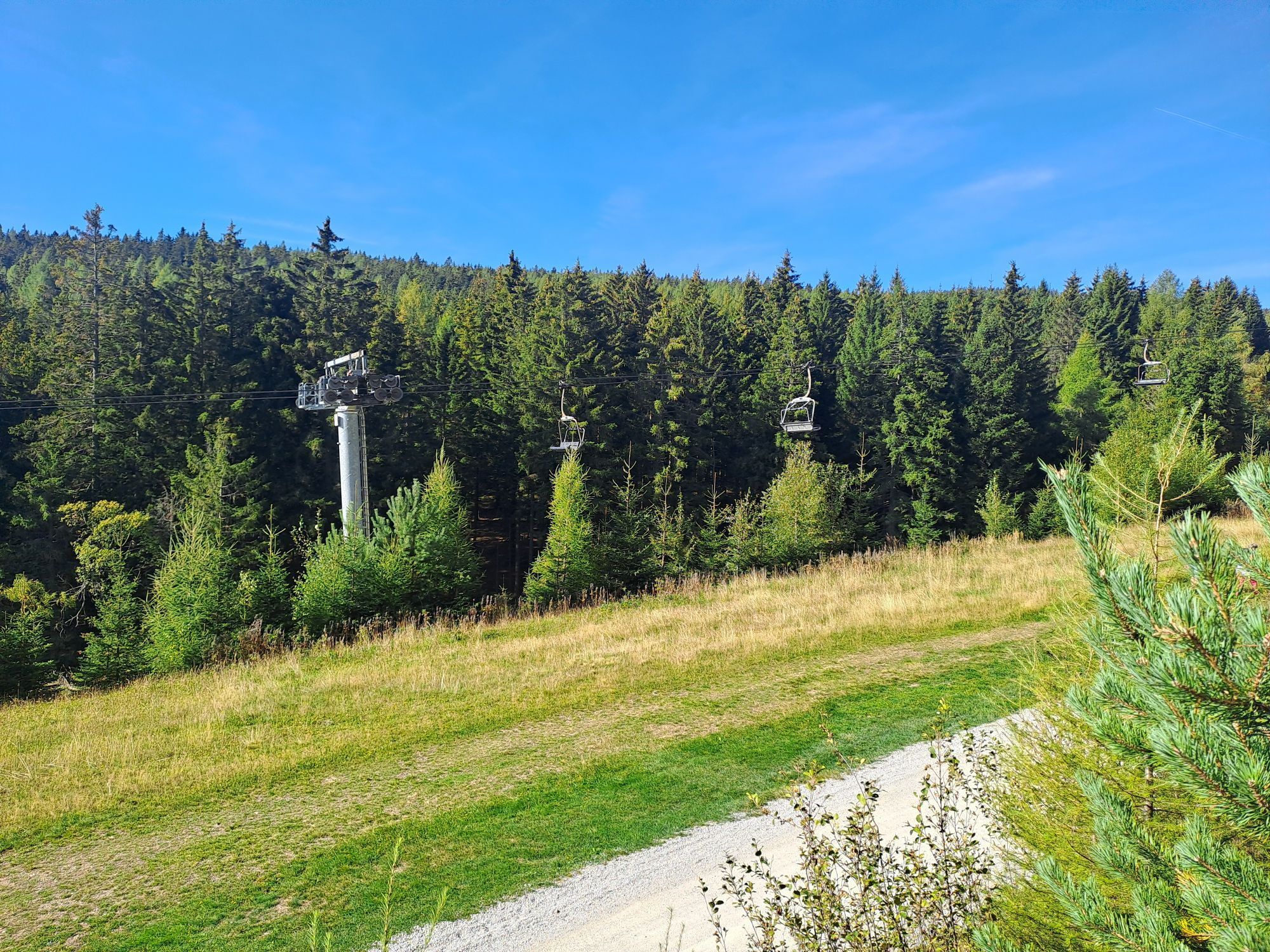
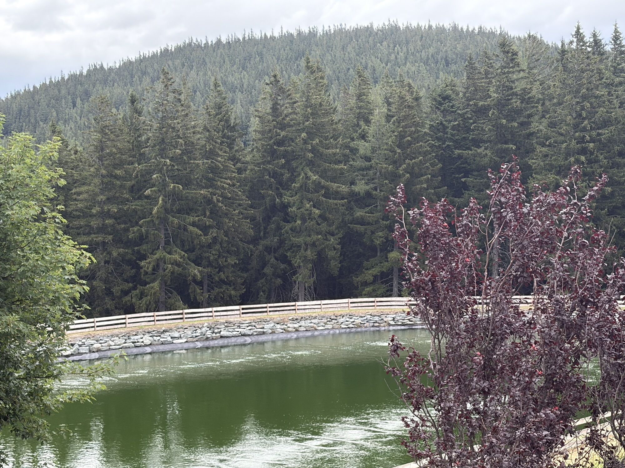
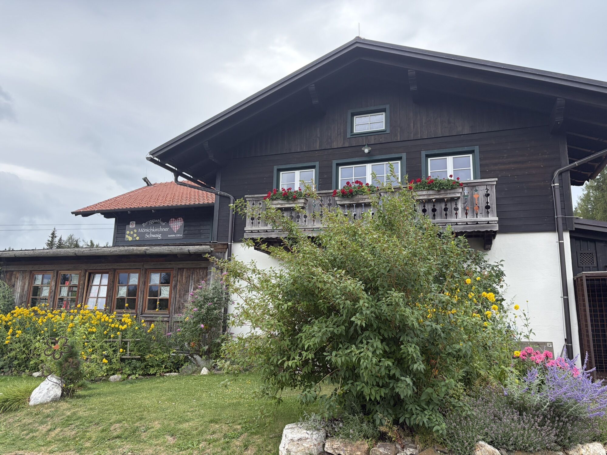
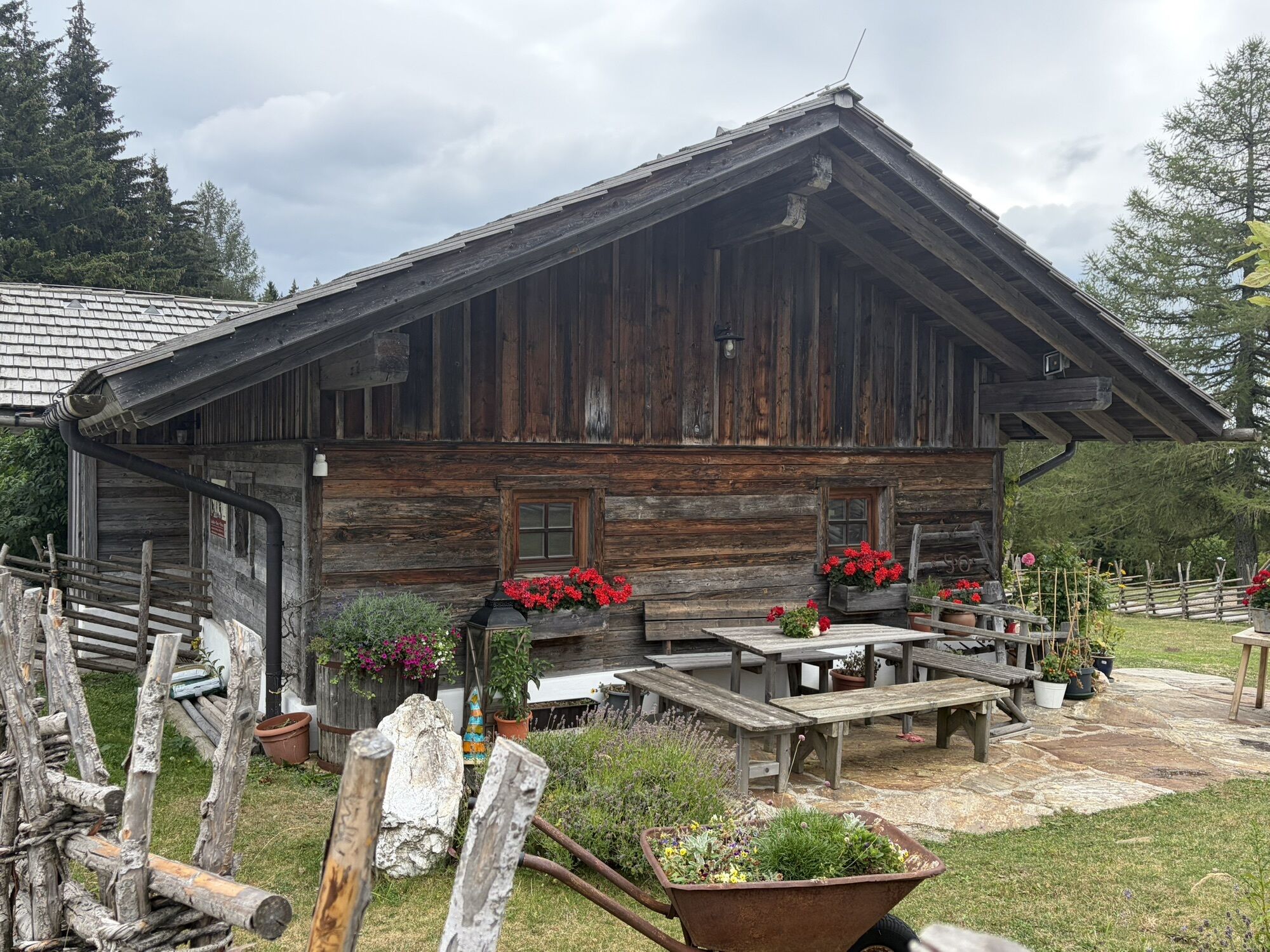
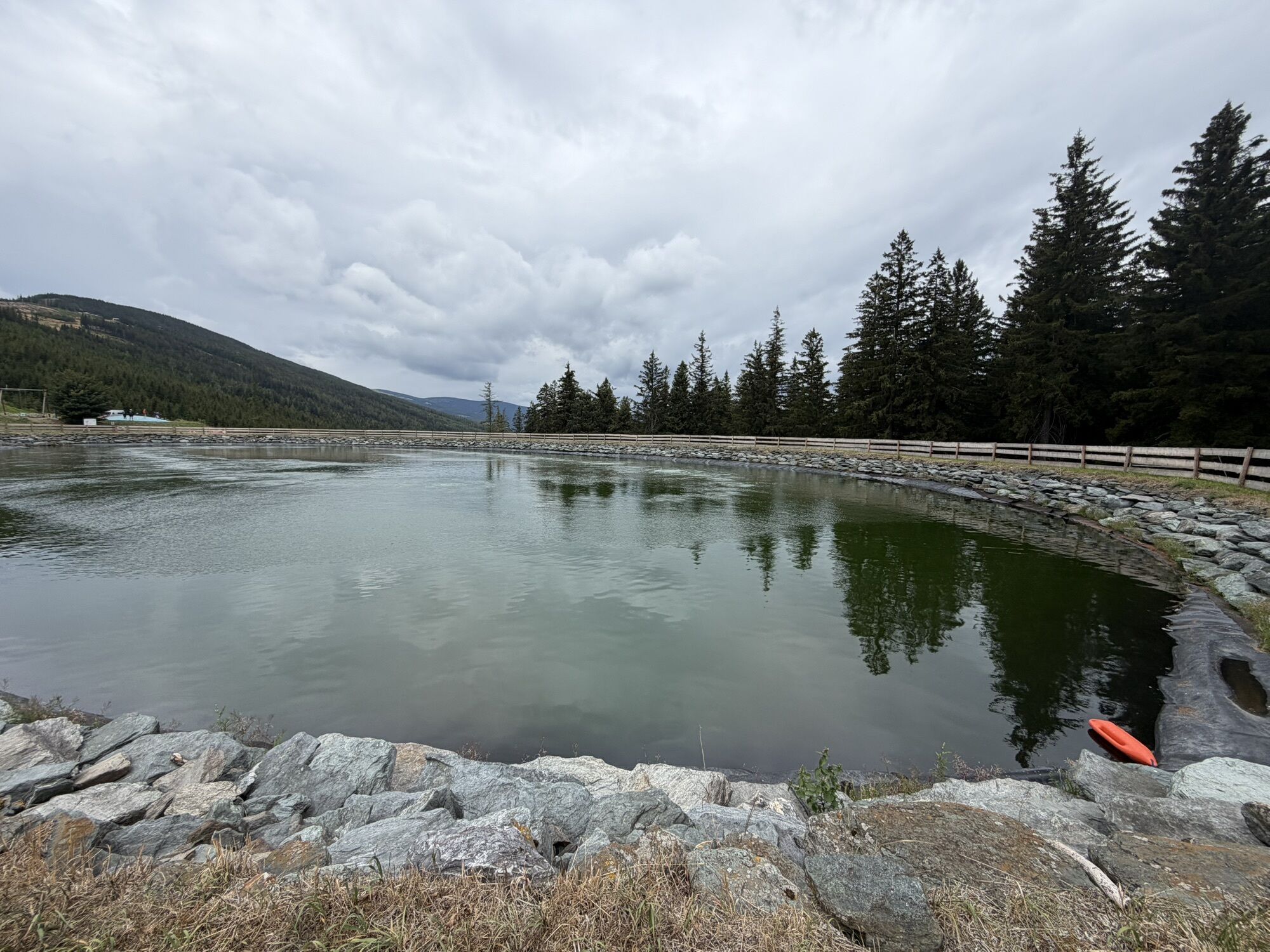
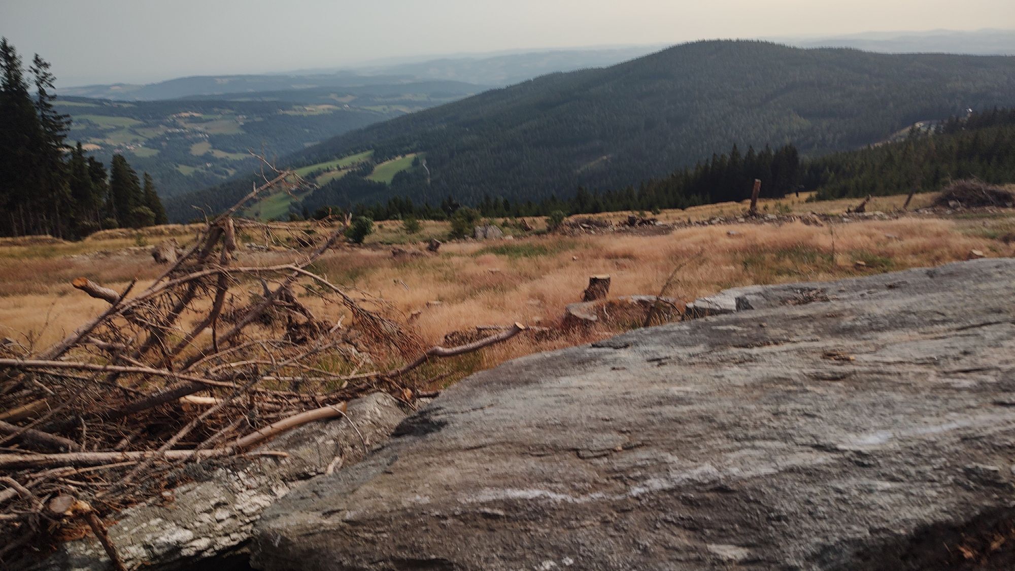
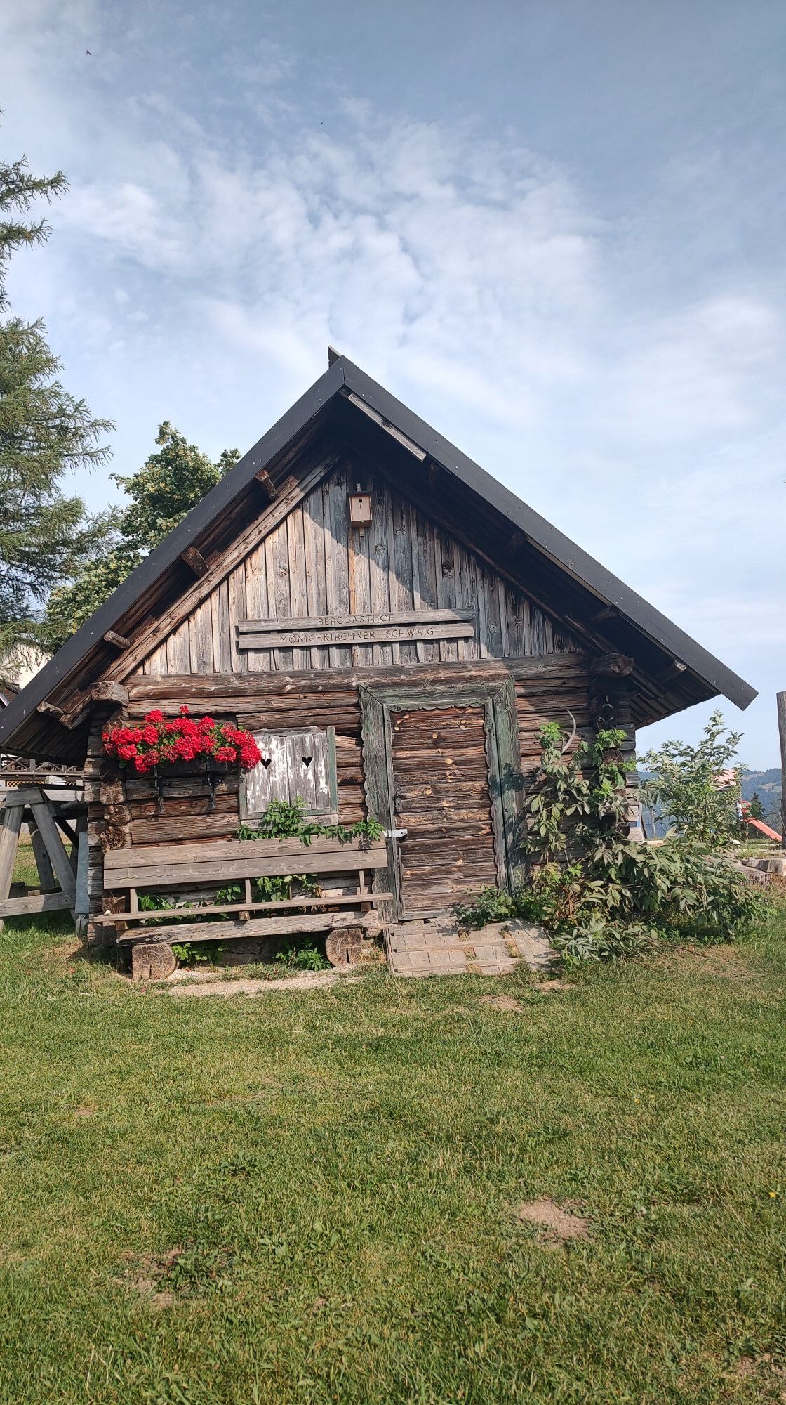
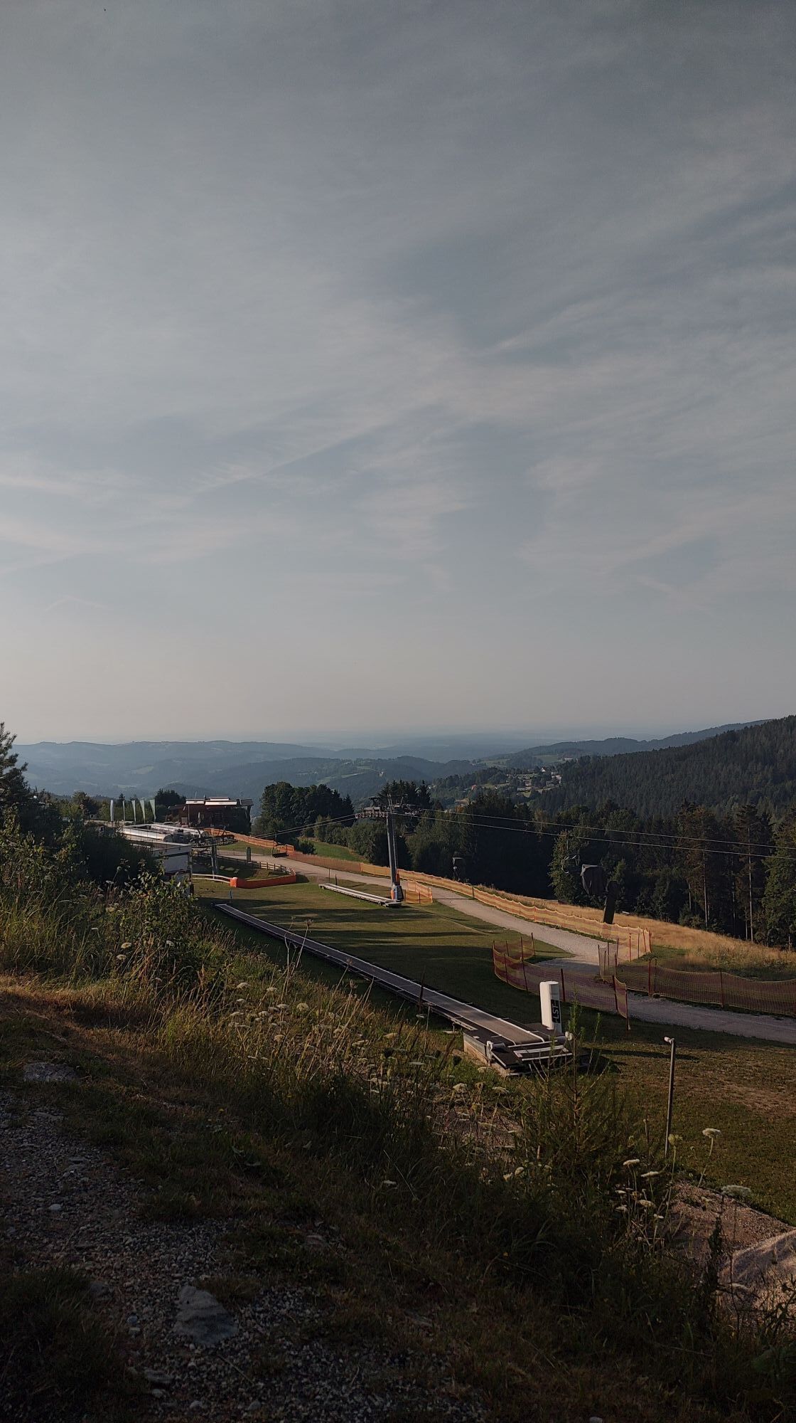
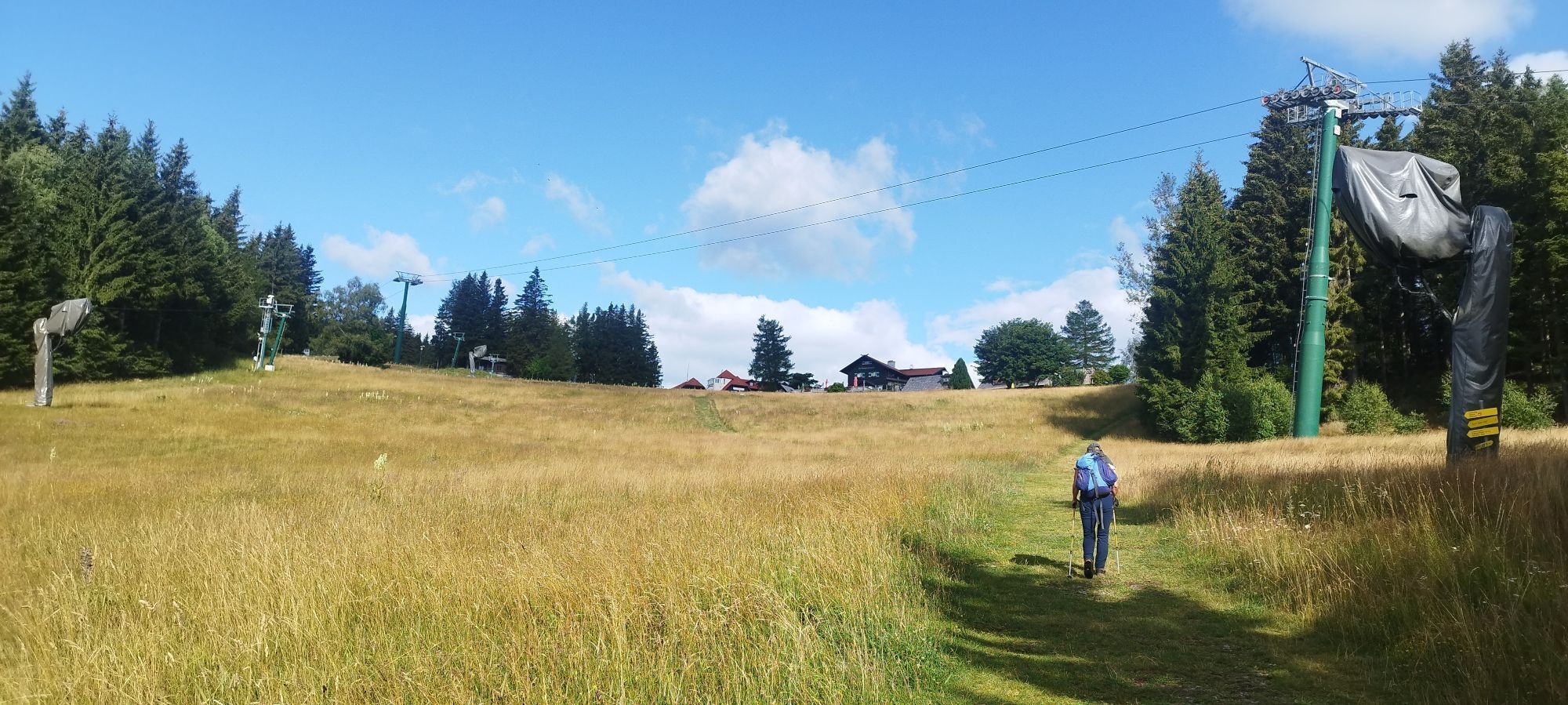
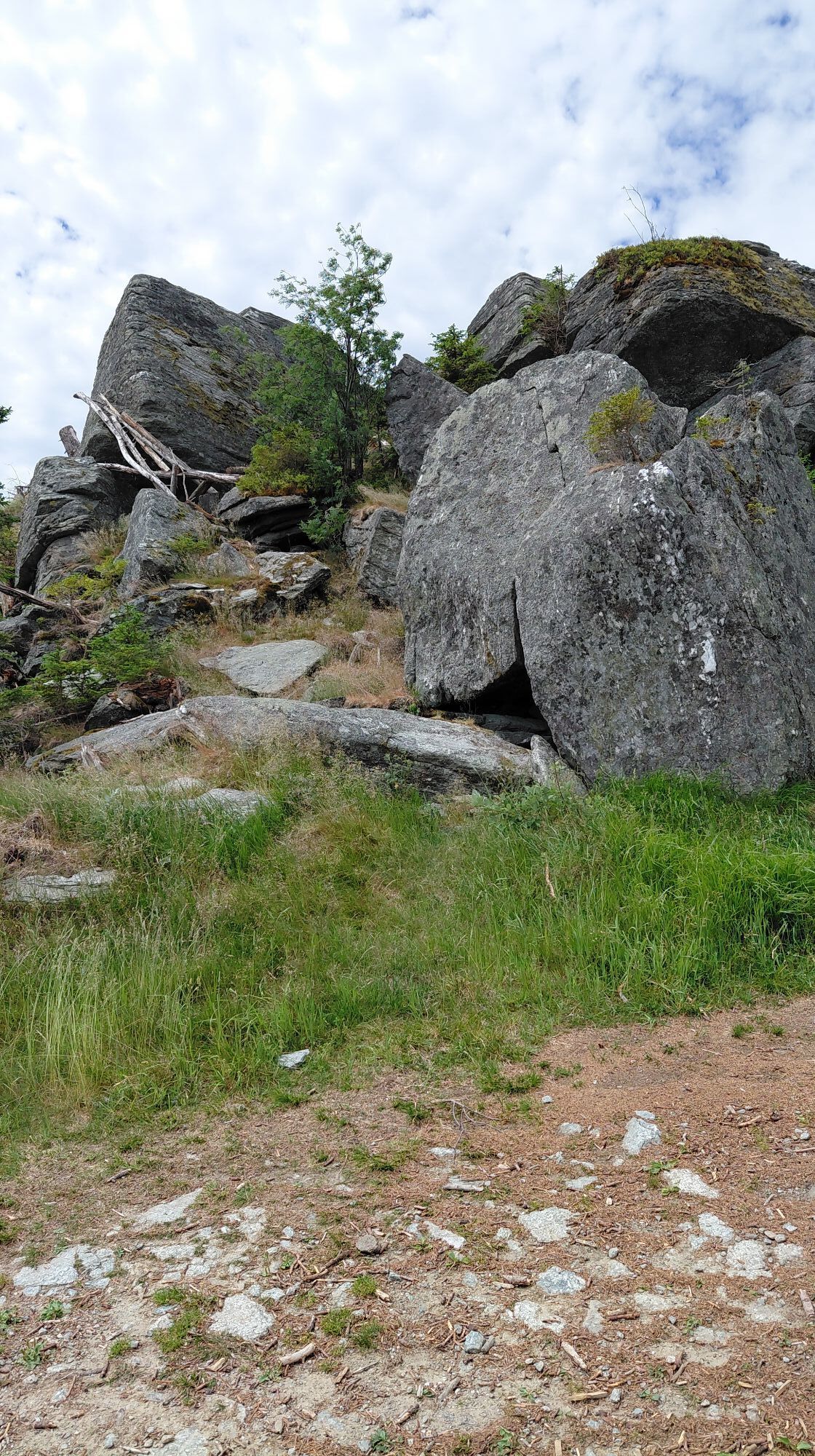
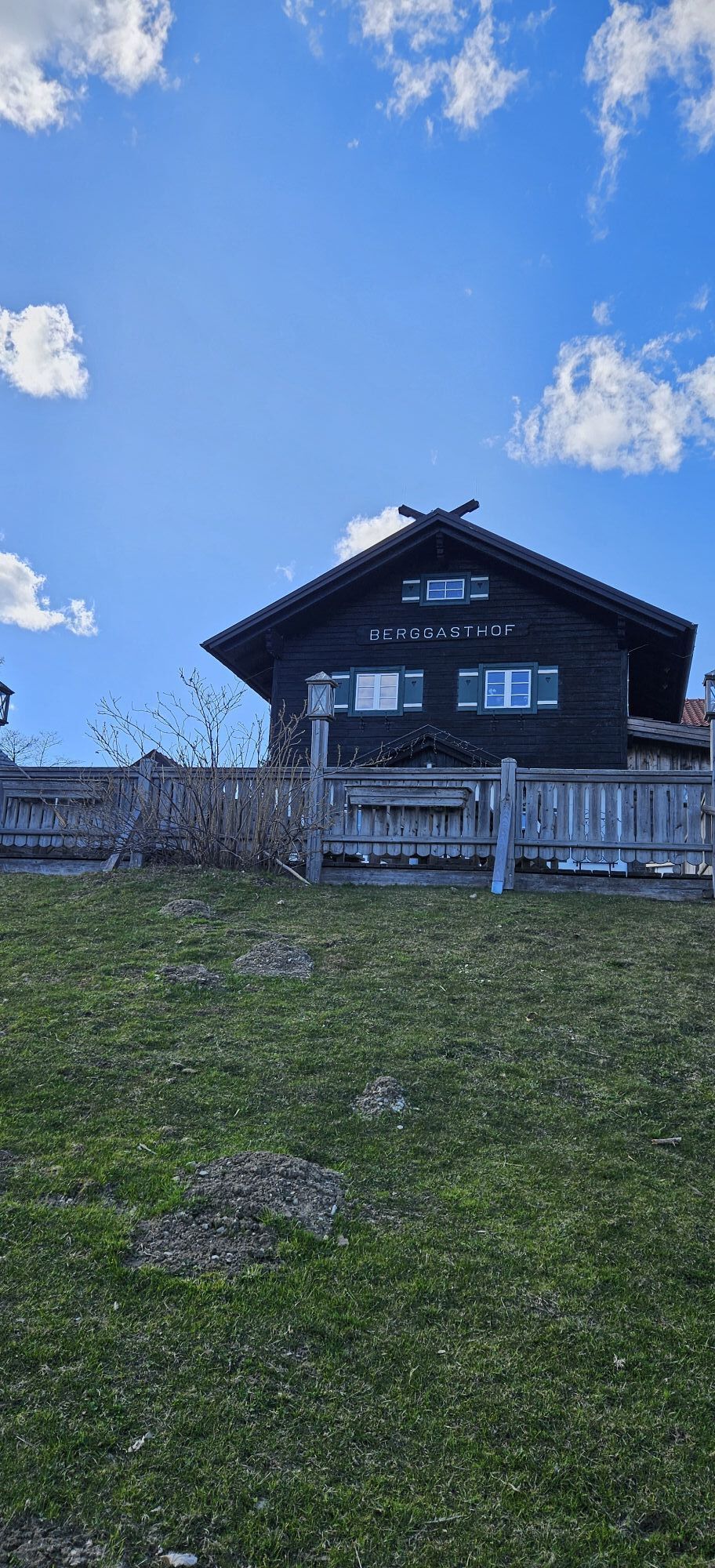
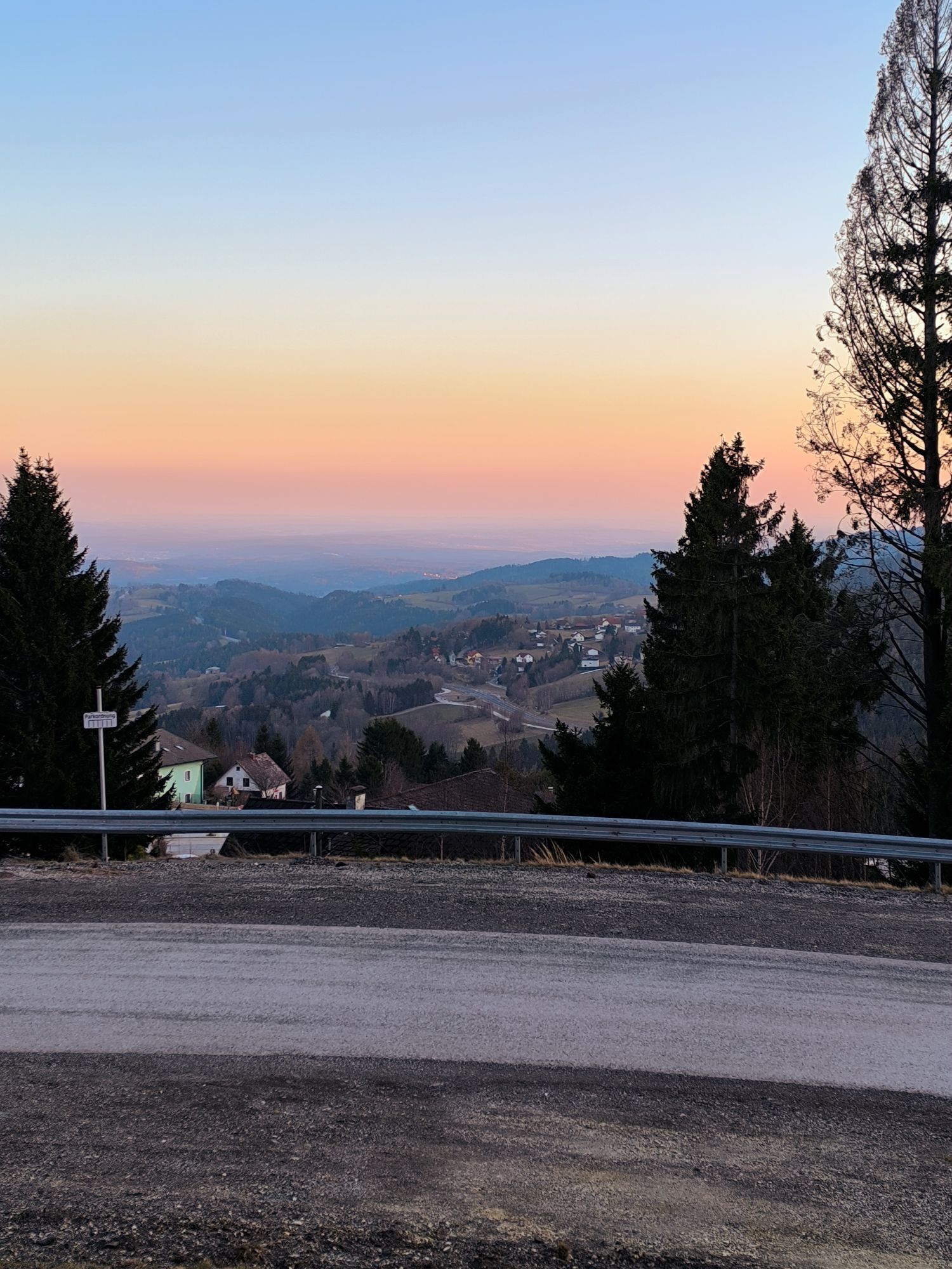
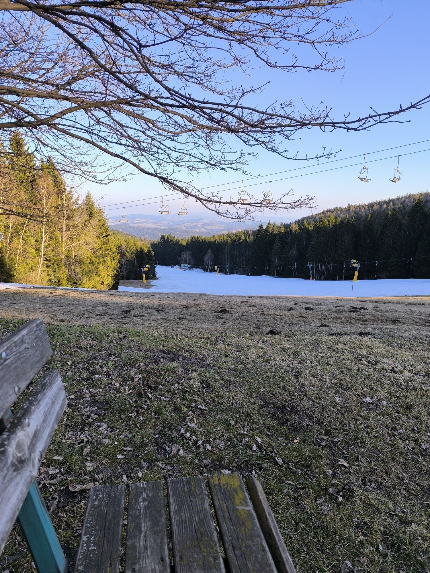

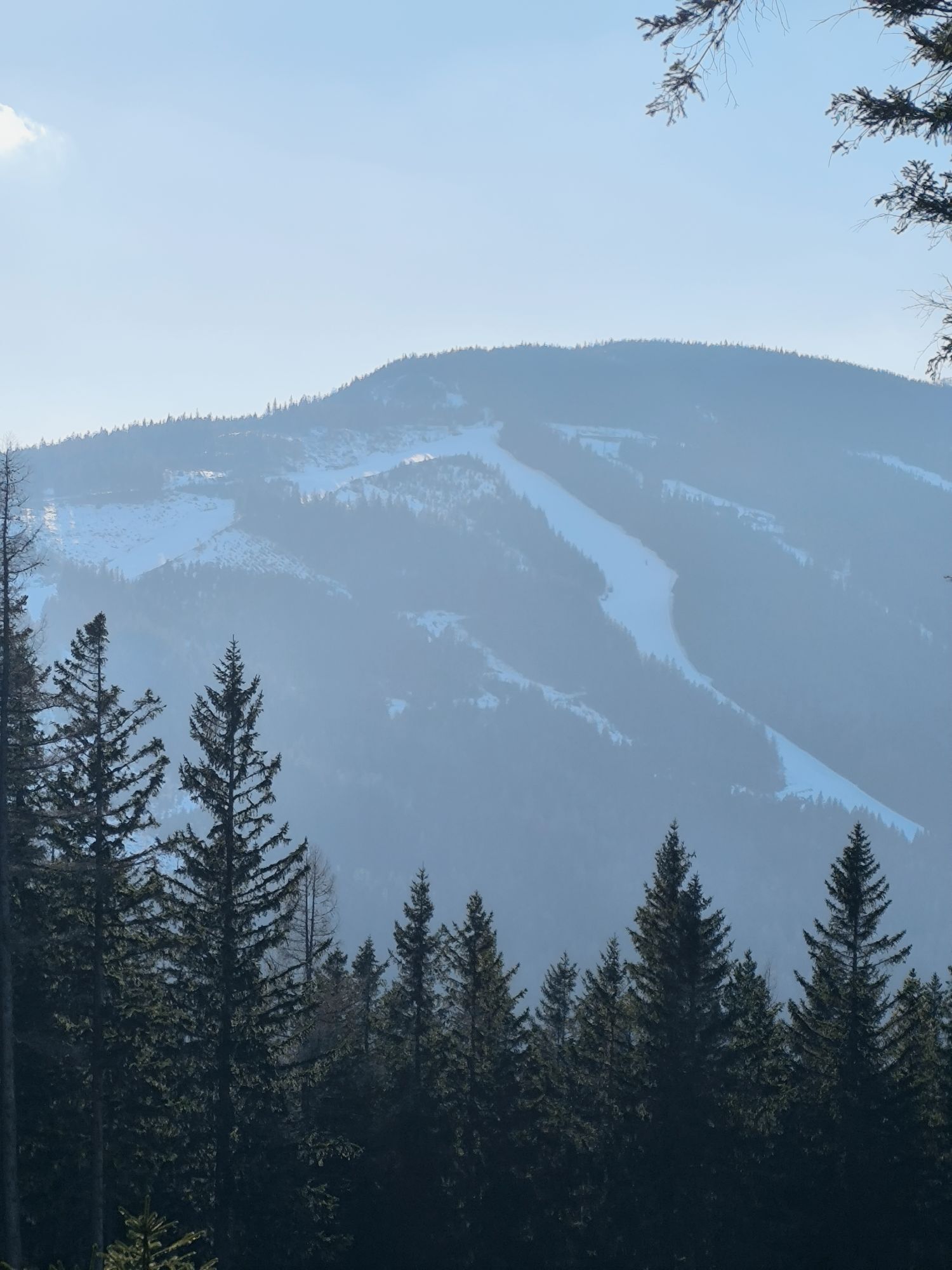
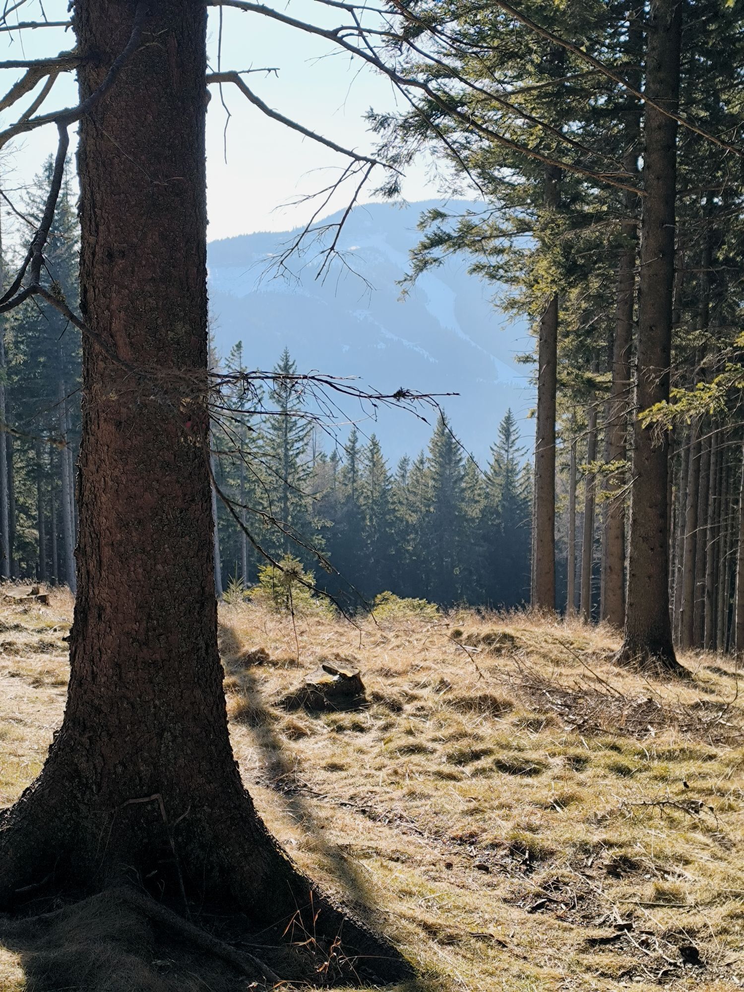
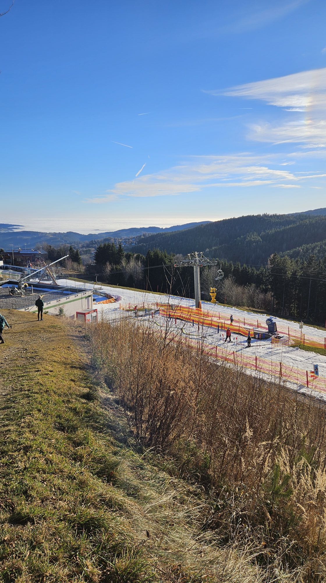
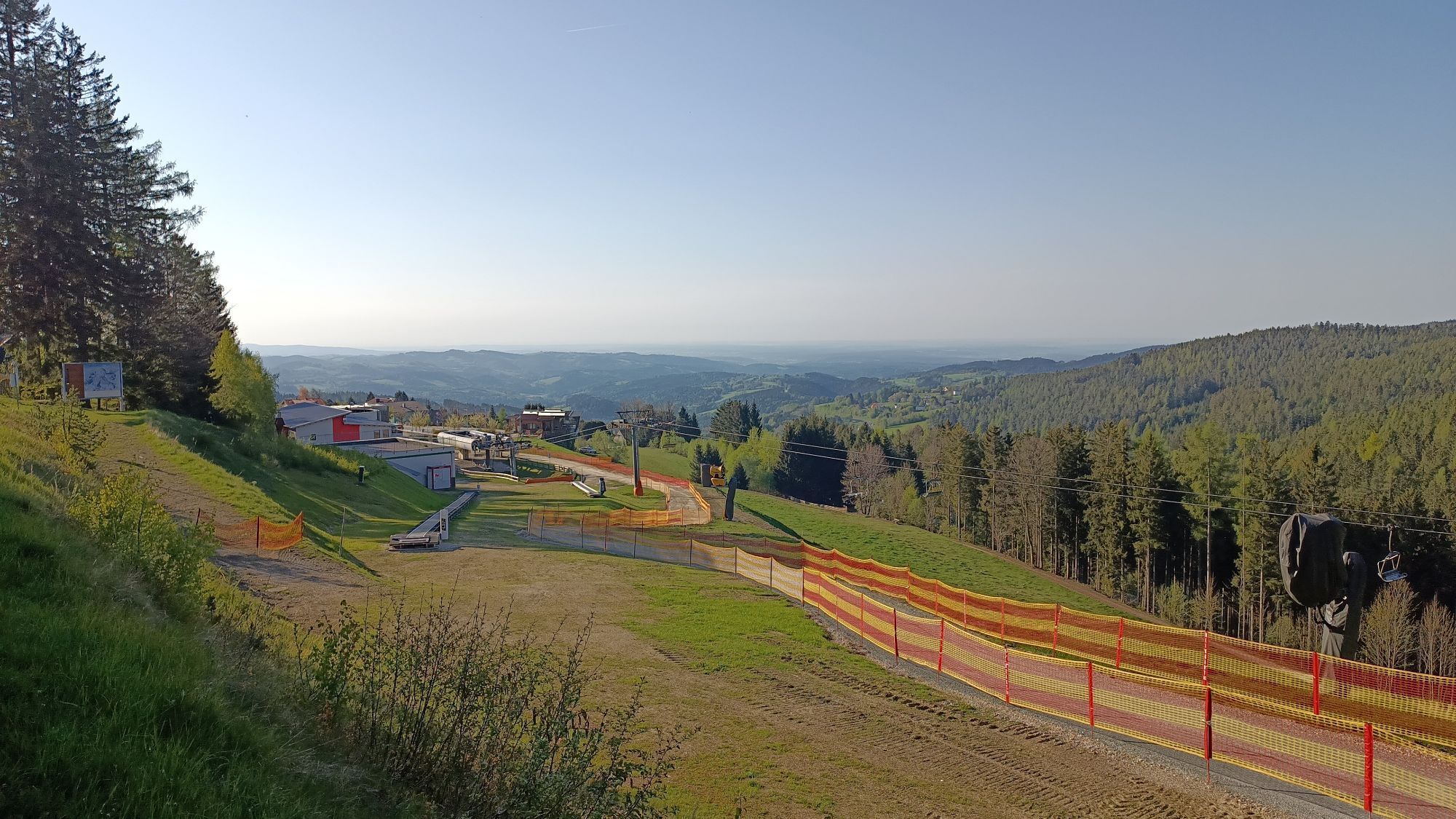
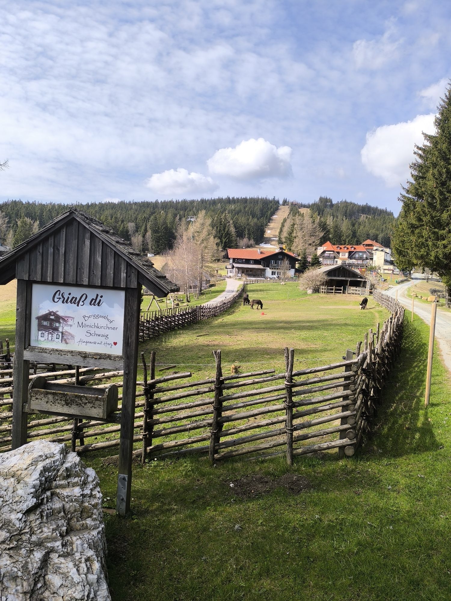
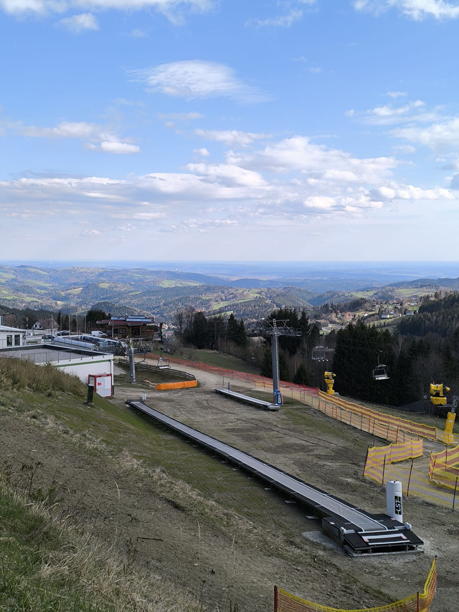
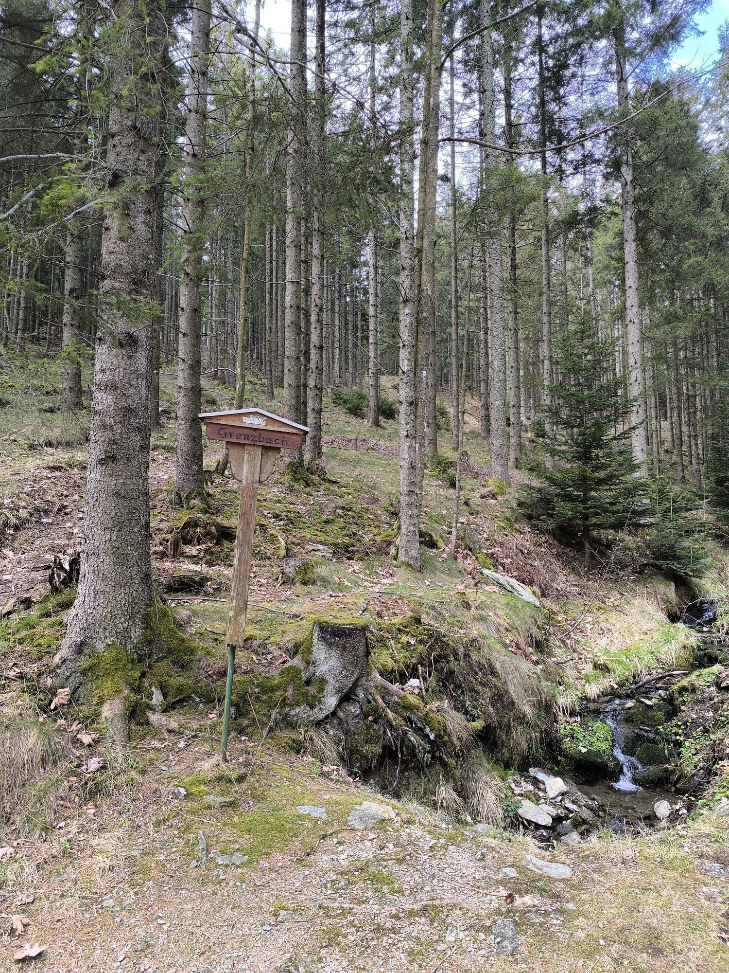
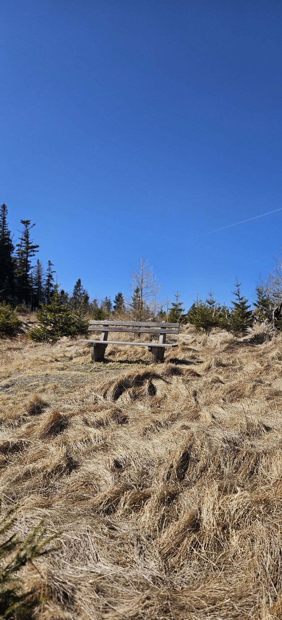
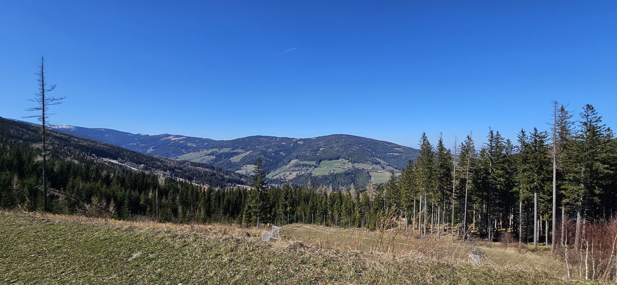
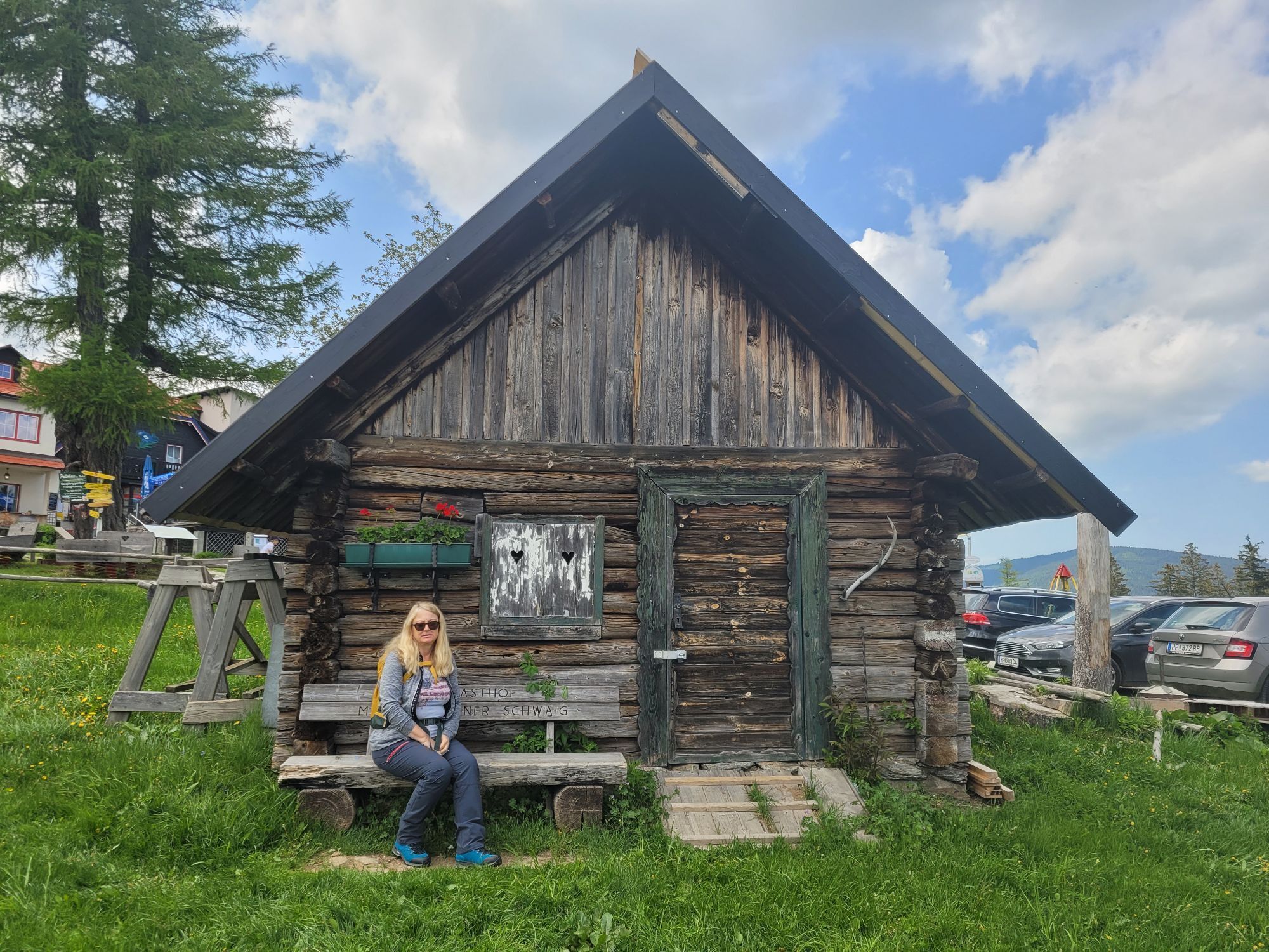
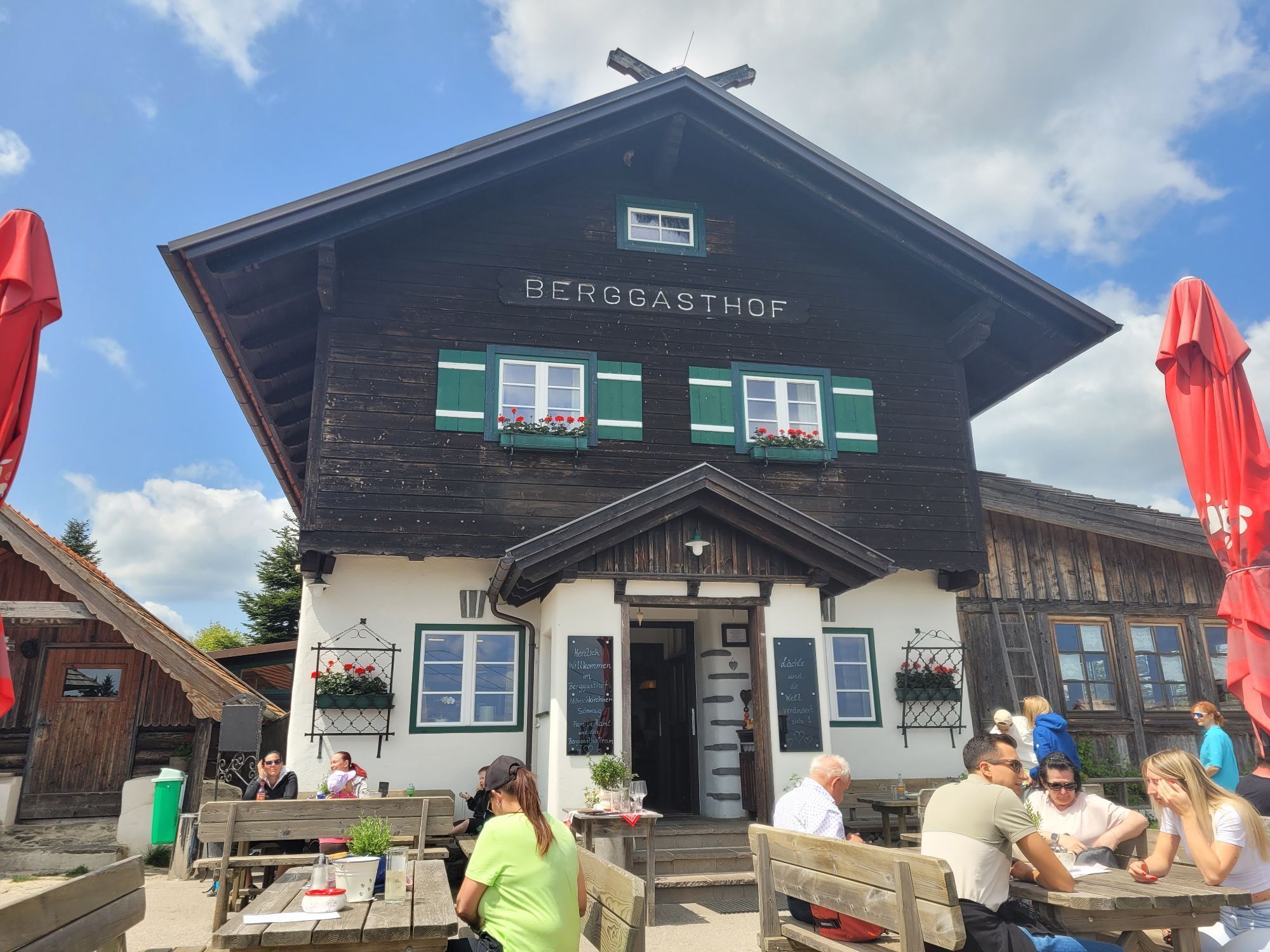
The ascent to the Hallerhaus starts from the Erlebnisalm Mönichkirchen. Depending on how long and far you want to go, you either take the "Sonnenbahn" up to the Mönichkirchner Schwaig or hike on foot via...
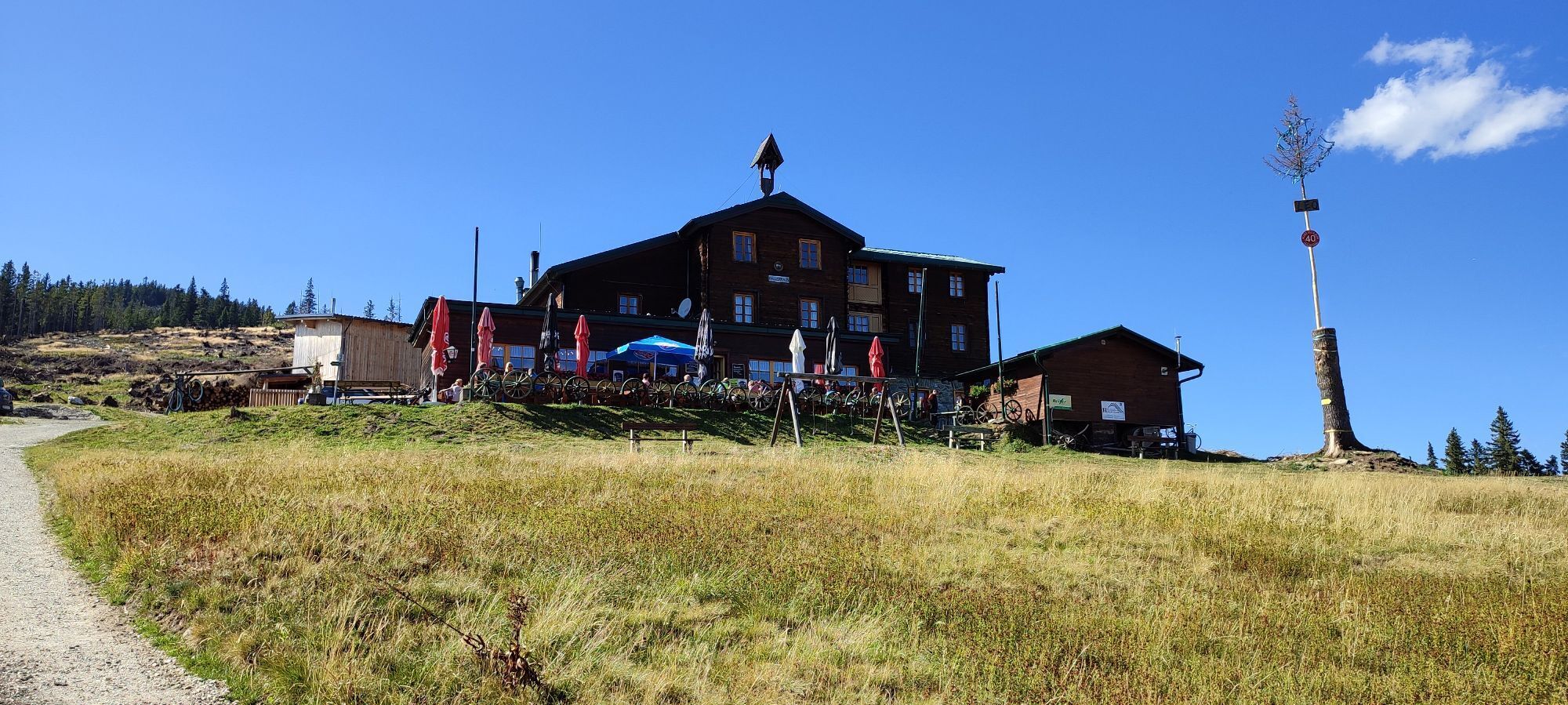
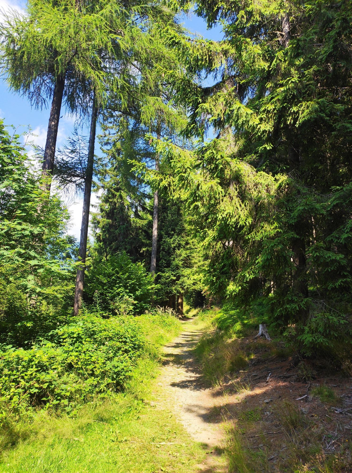
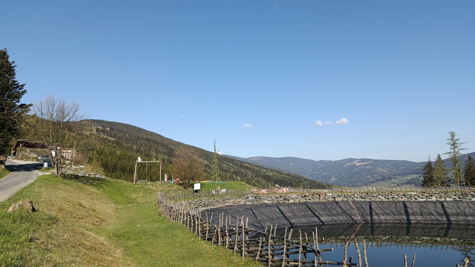
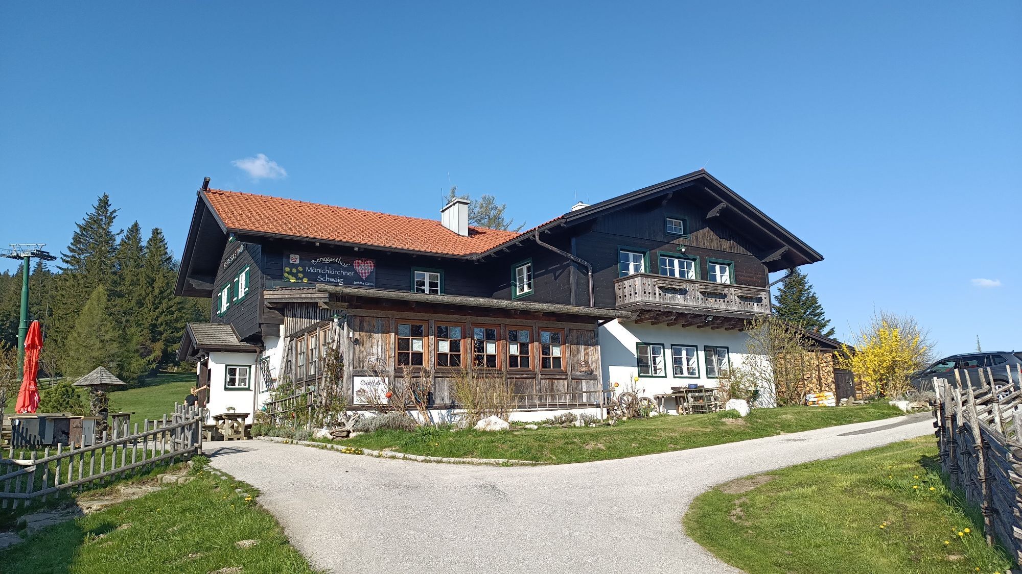
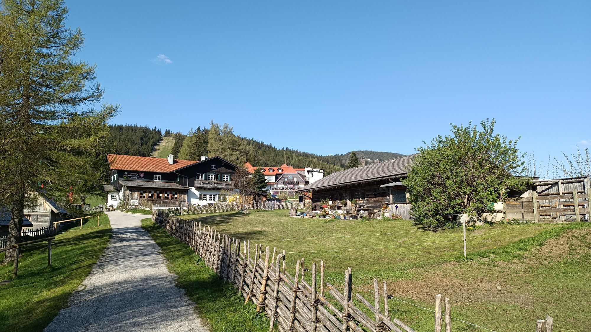
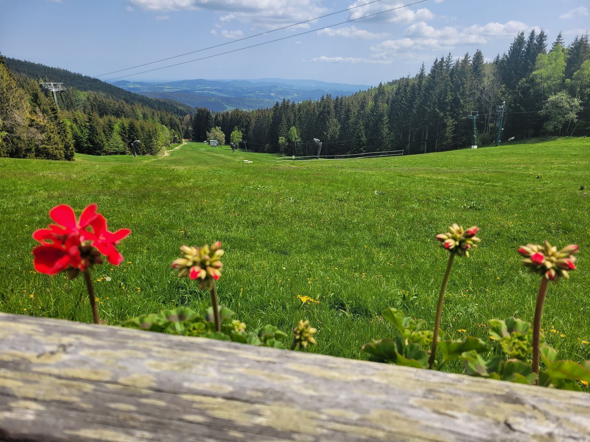
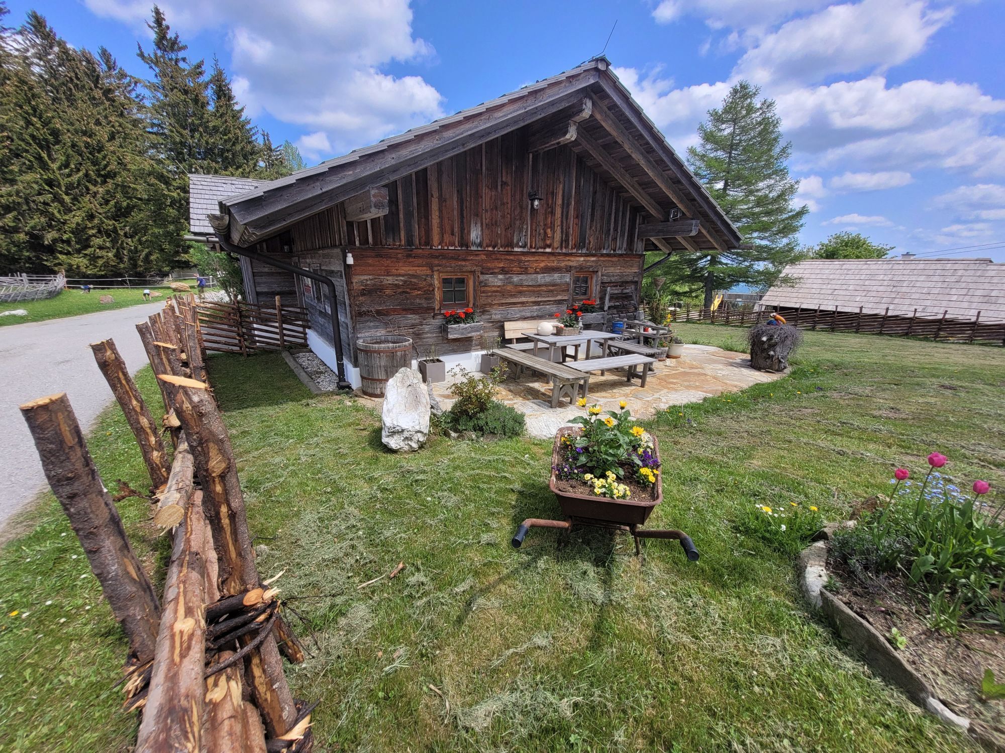
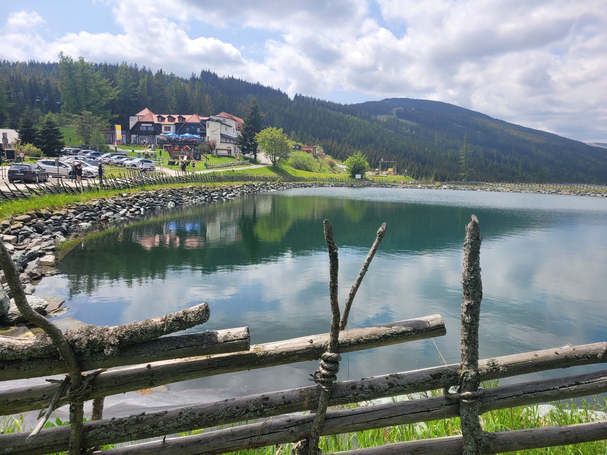
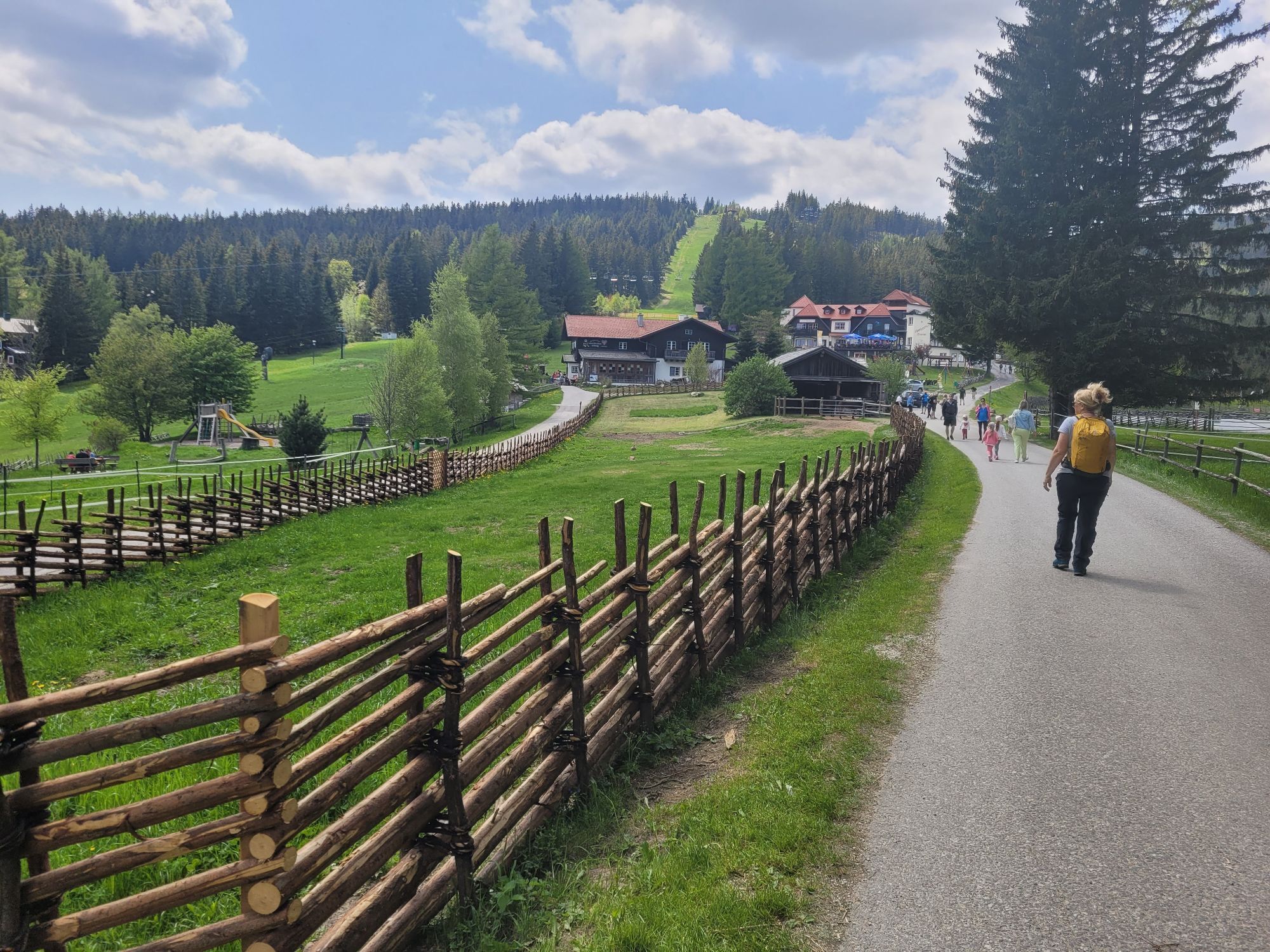
<p>The ascent to the Hallerhaus starts from the <strong>Erlebnisalm Mönichkirchen</strong>. Depending on how long and far you want to go, you either take the "<strong>Sonnenbahn</strong>" up to the Mönichkirchner Schwaig or hike on foot via the thematic trail Lebenswasser to the mountain station. There you find several places to eat and stay overnight, as well as playgrounds for children. A short detour to the <strong>Alpenhotel Enzian</strong> or the <strong>mountain inn Mönichkirchner Schwaig</strong> before continuing. A little off the beaten path through quiet forests you reach the <strong>Hallerhaus</strong>. Founded in 1910, the mountain hut has been renovated several times since opening and is now popular with skiers in winter and hikers in summer due to its easy accessibility. You must not miss the <strong>Blunzng'röstl</strong> with homemade blood sausages!</p><p>From Mönichkirchen, a stage of the Weg am Wiener Alpenbogen to Feistritzsattel also starts, passing by the Hallerhaus.</p>

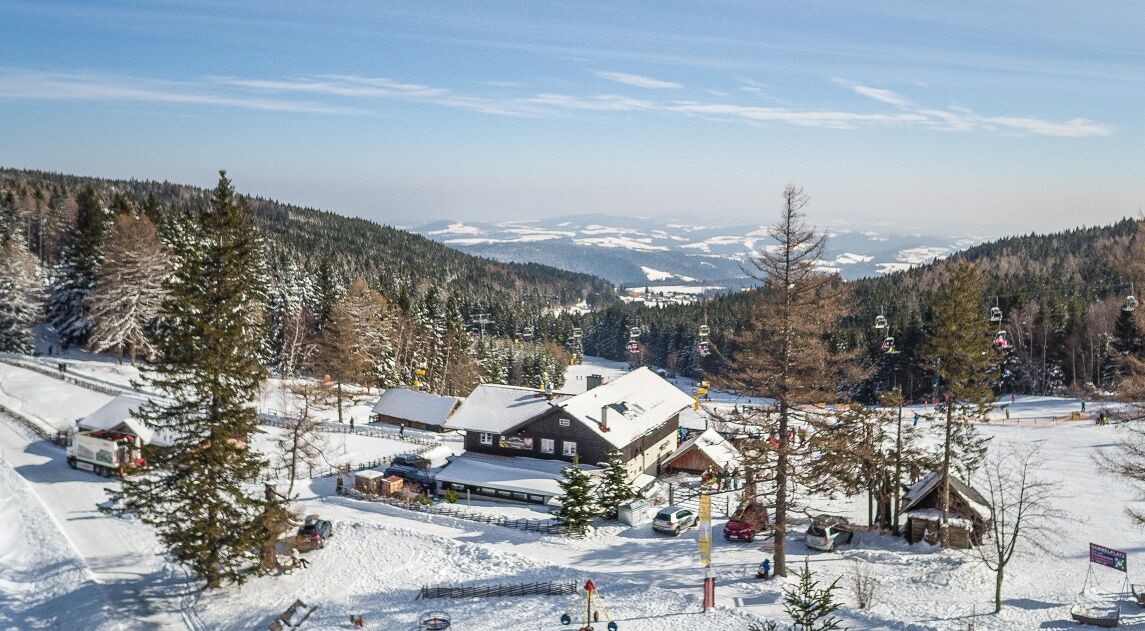

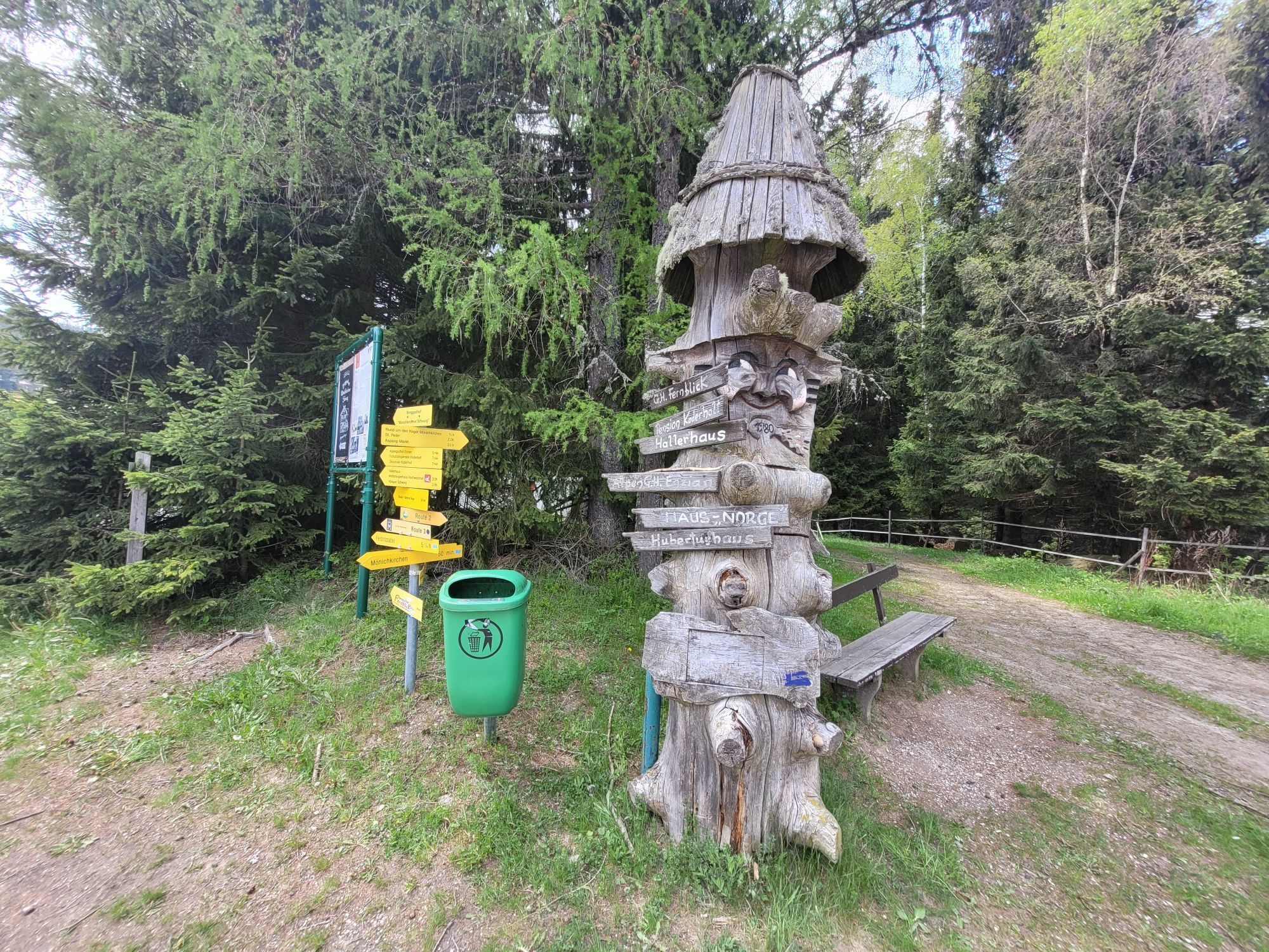
<p>From the valley station of the Erlebnisalm Mönichkirchen, we follow a path along the lift to the mountain station. Right at the mountain station, we see the mountain inn Mönichkirchner Schwaig and also the Alpenhotel Enzian. We go past them on the left and see the Hallerhaus sign in front of the trees. Continue to keep left and follow the path. At the fork in the path, we go straight up the somewhat steep slope. We are on the first level, about halfway through the hike. At the next fork, we keep right again. We follow the path towards the next group of trees. <br /> At the front tip of the group of trees, there is a signpost with signs "Loipe" and "Hallerhaus". We follow the path. We come to a wide path surrounded by fields and forest. After a few meters in this piece of forest, we have already reached our destination.</p>
<p>Sturdy footwear, poles (with snow baskets if snow is present), waterproof outdoor clothing, hat, gloves, scarf or multifunctional cloth, backpack, headlamp (days are shorter in winter), sunglasses, sun and/or cold protection, drinking bottle or thermos flask are indispensable in winter.</p>
<p>The route partly passes through forests and over unpaved paths. In case of snow, the paths are not cleared and may have icy or slippery spots. Use of the paths is at your own risk. It is recommended to be mindful of early dusk and to carefully plan the routes. </p>
<p><strong>From Vienna</strong> coming on the A2 take the Edlitz exit, continue on the B54 Wechsel federal road and follow the signs to Mönichkirchen.<br /><br /><strong>From Graz</strong> coming on the A2 take the Pinggau exit towards Friedberg and follow the signs to Mönichkirchen.</p>
<p>Take the regional train from Wiener Neustadt station to Aspang, then continue by regional buses to Mönichkirchen.</p><p>Further information can be found at <a href="www.oebb.at">www.oebb.at</... , <a href="www.vor.at">www.vor.at</a&...
<p>Parking spaces are available at the valley station of the Erlebnisalm Mönichkirchen.</p>
Vienna Alps in Lower Austria, www.wieneralpen.at, +43 / 2622 / 78960
Erlebnisalm Mönichkirchen, www.schischaukel.net
Combine your hike with a stay at Wechsel, for example at the Alpenhotel Enzian or the Bed and Breakfast Koderholt. Now bookable!
Kamery internetowe z trasy

Popularne wycieczki w okolicy
-
3,9
Schwaigen Rundwanderung
światłoWędrówka 8,24 km -
3,8
St. Corona - Kampstein
średniWędrówka 10,7 km -
4,7
Hochwechsel - Tour
Wędrówka 18,5 km -
4,6
Hochwechsel-Runde, Waldbach-Mönichwald
średniWędrówka 17,9 km -
4,6
Mariensee - Wildwasserweg - Marienseer Schwaig
światłoWędrówka 8 km -
4,6
Hochwechsel
średniWędrówka 14,3 km -
4,5
Rabl-Kreuz-Hütte auf den Hochwechsel
światłoRakieta do chodzenia po śniegu 9,87 km -
4,5
Schanzkapelle - Kleiner Otter - Mitterotter - Großer Otter - Kummerbauerstadl - von Göstritz Göstritz, Niederösterreich
średniWędrówka 11,6 km -
4,7
Wexlrunde (Trails & Forststraße) ohne Lift
średniMountainbike 40,4 km -
3,7
Grosser Otter Runde
światłoWędrówka 11,3 km
Wędrówki i tropienie


Nie przegap ofert i inspiracji na następne wakacje
Twój adres e-mail została dodana do listy mailingowej.





