






Pinkenkogel round
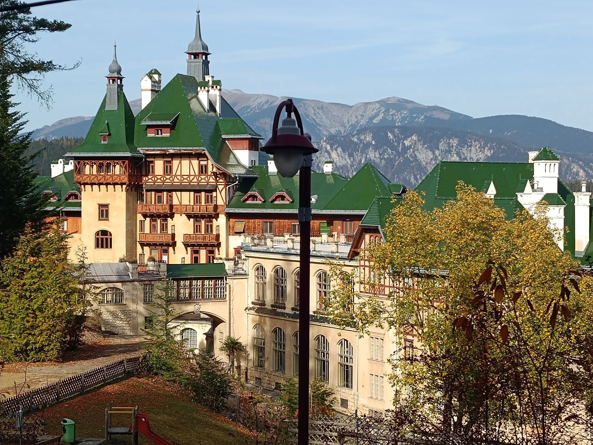
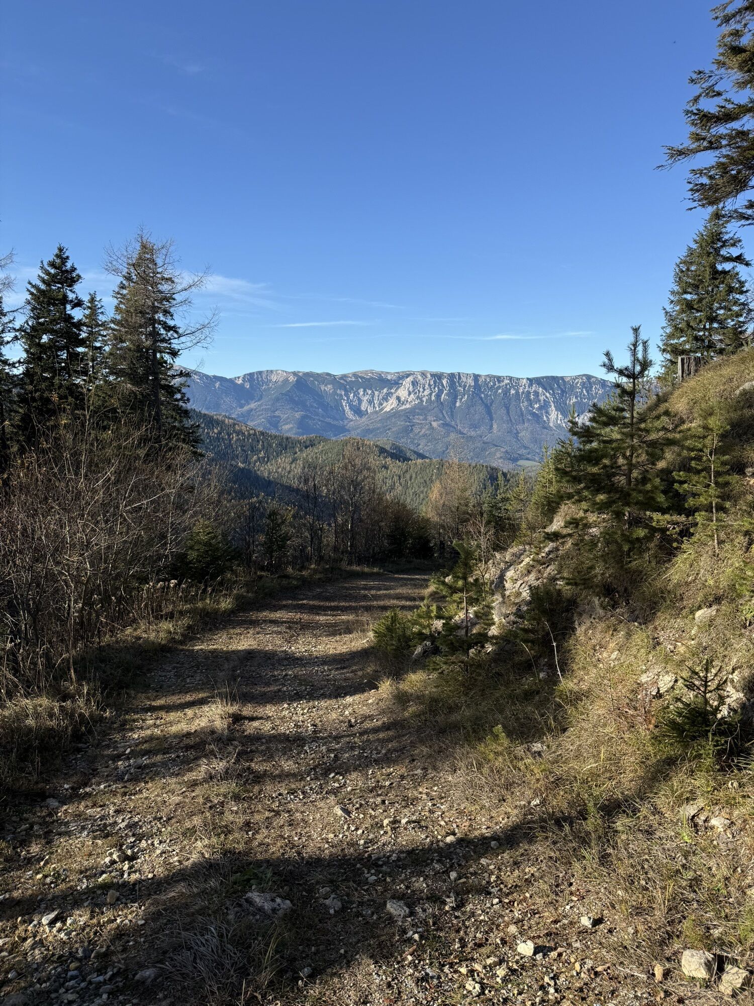
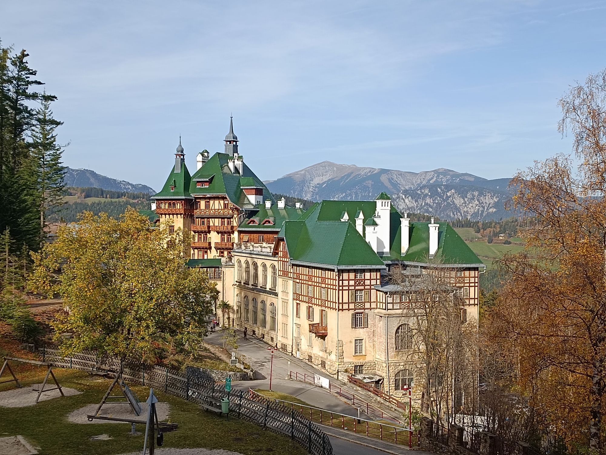
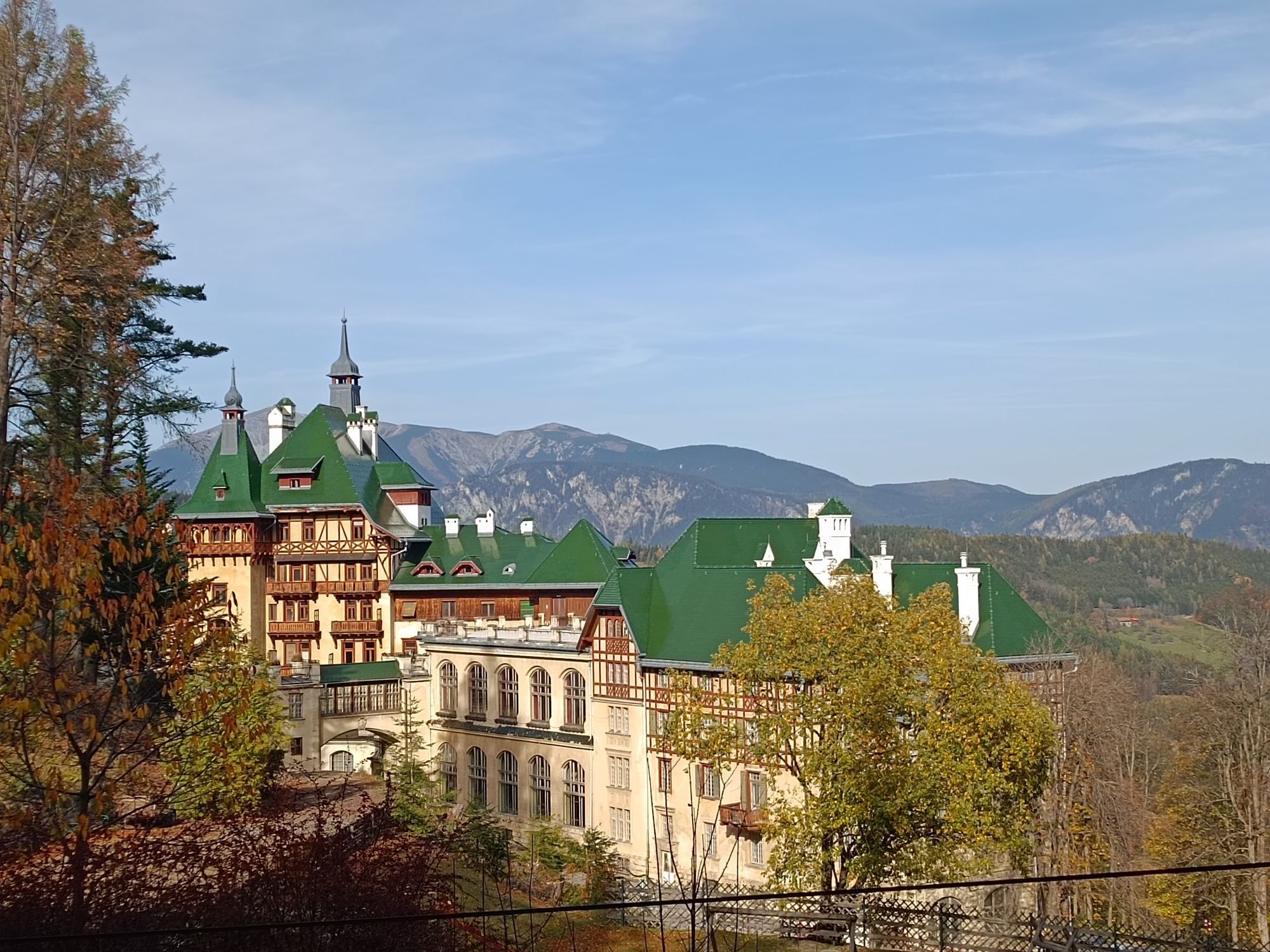
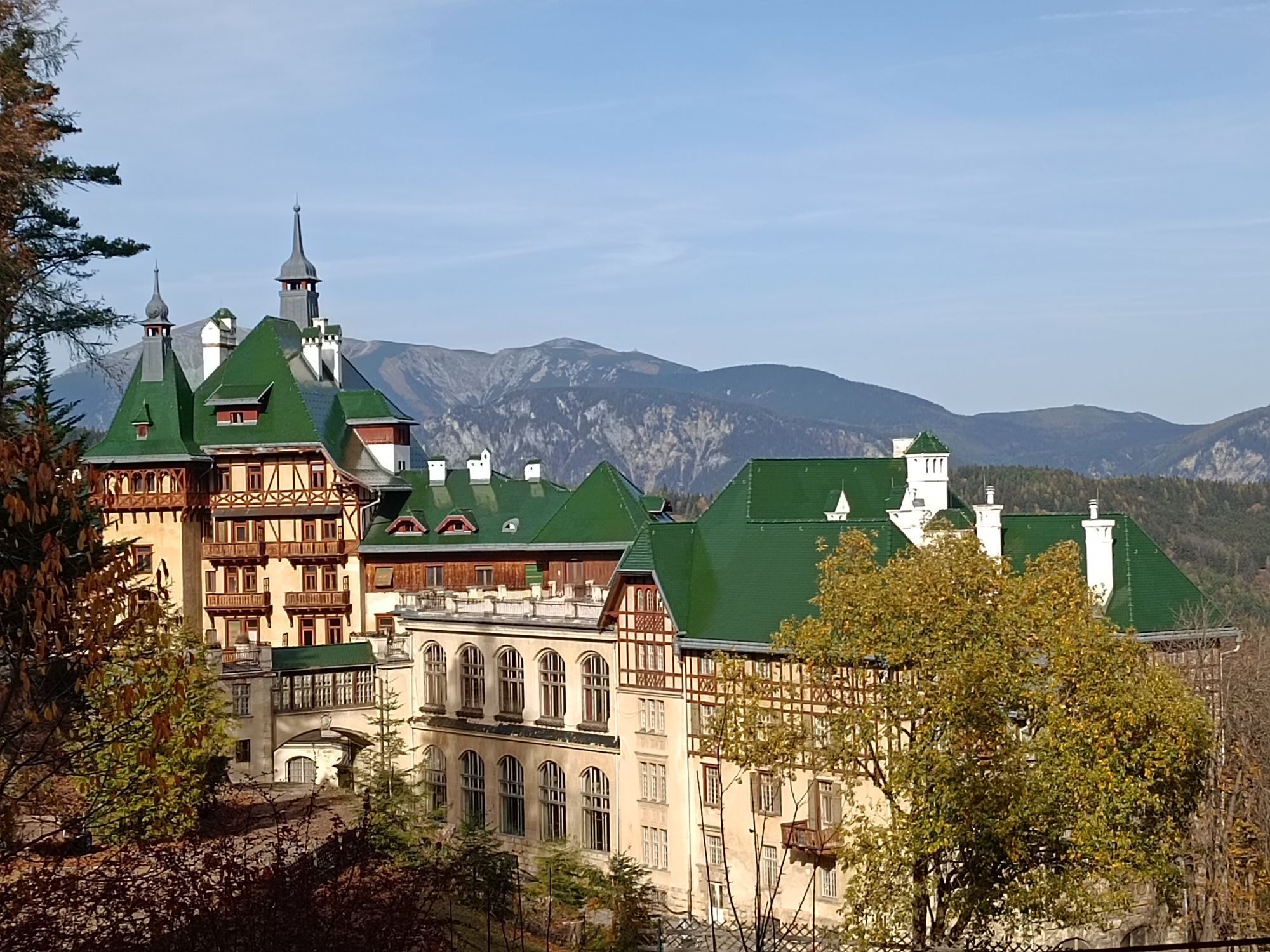
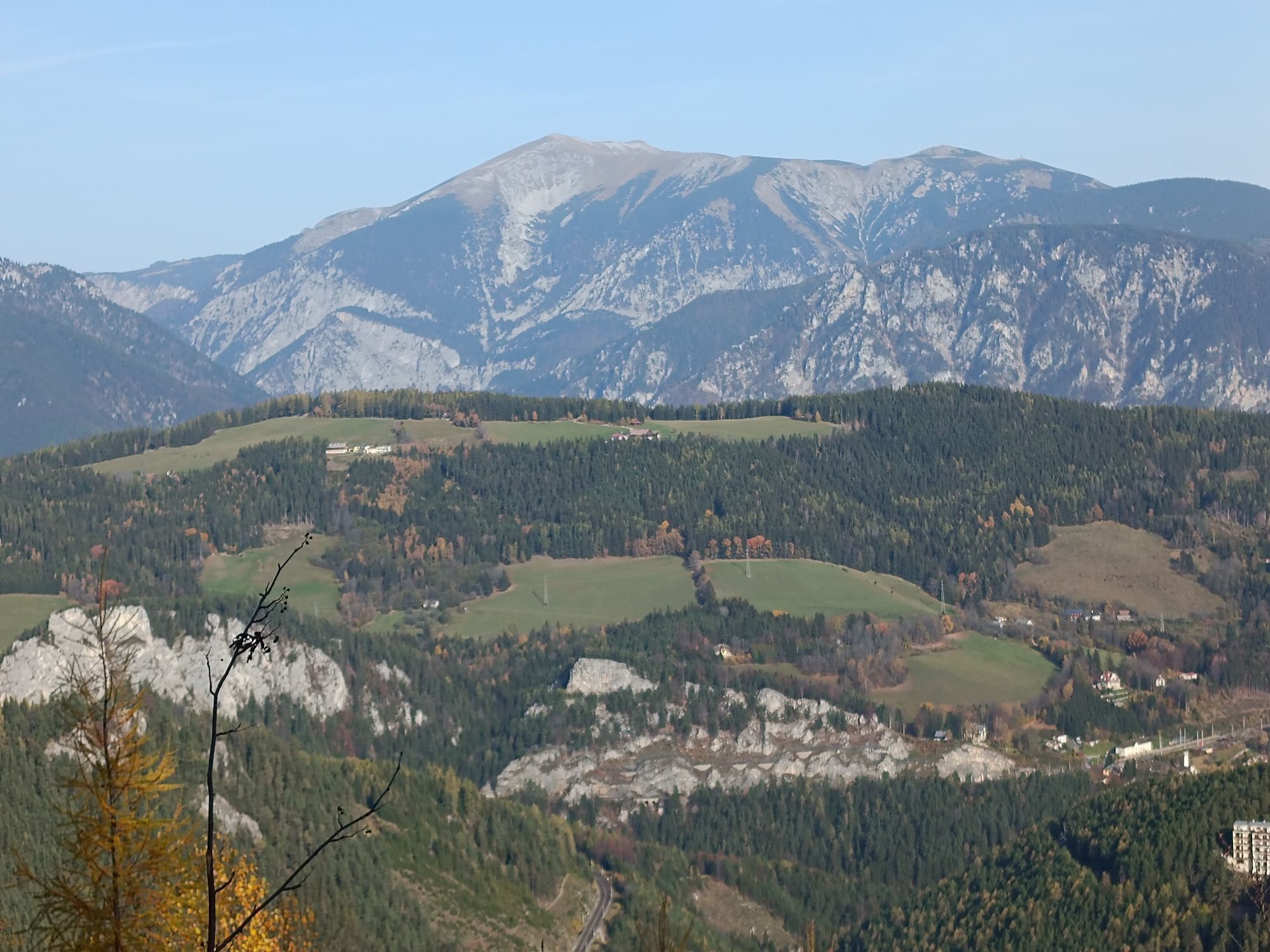
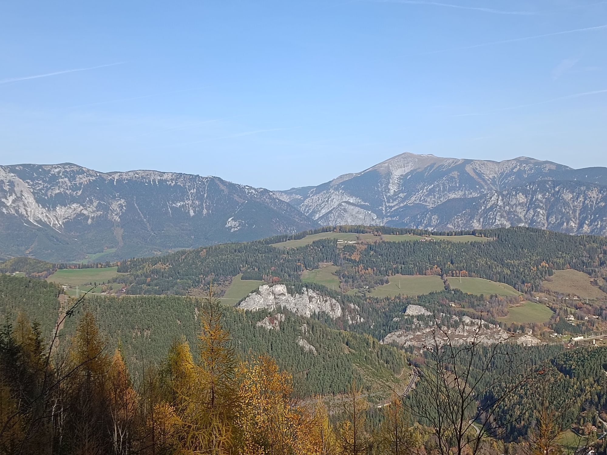
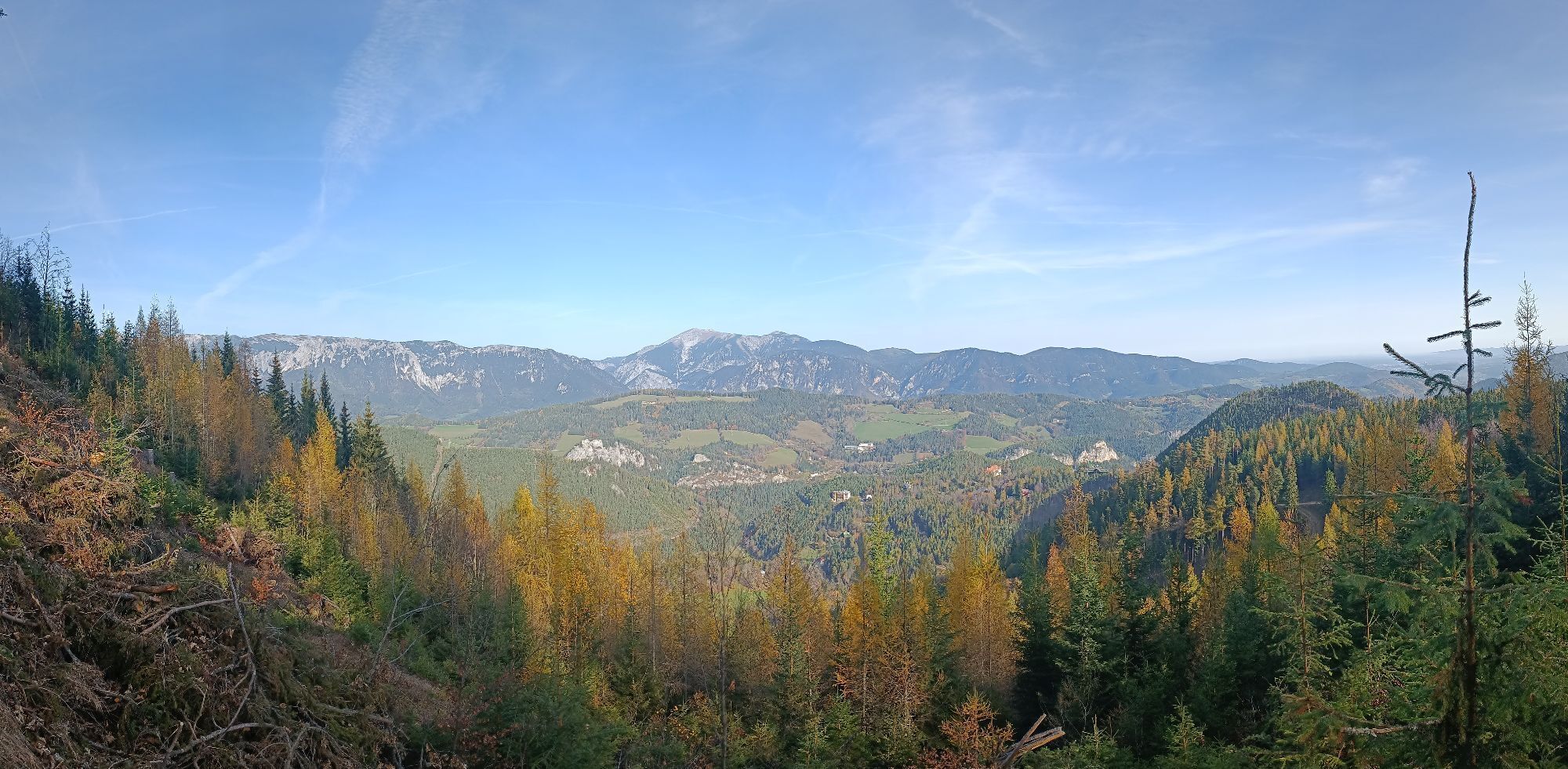
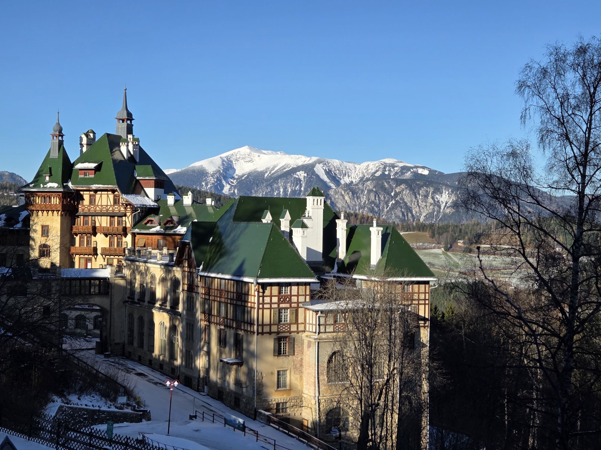
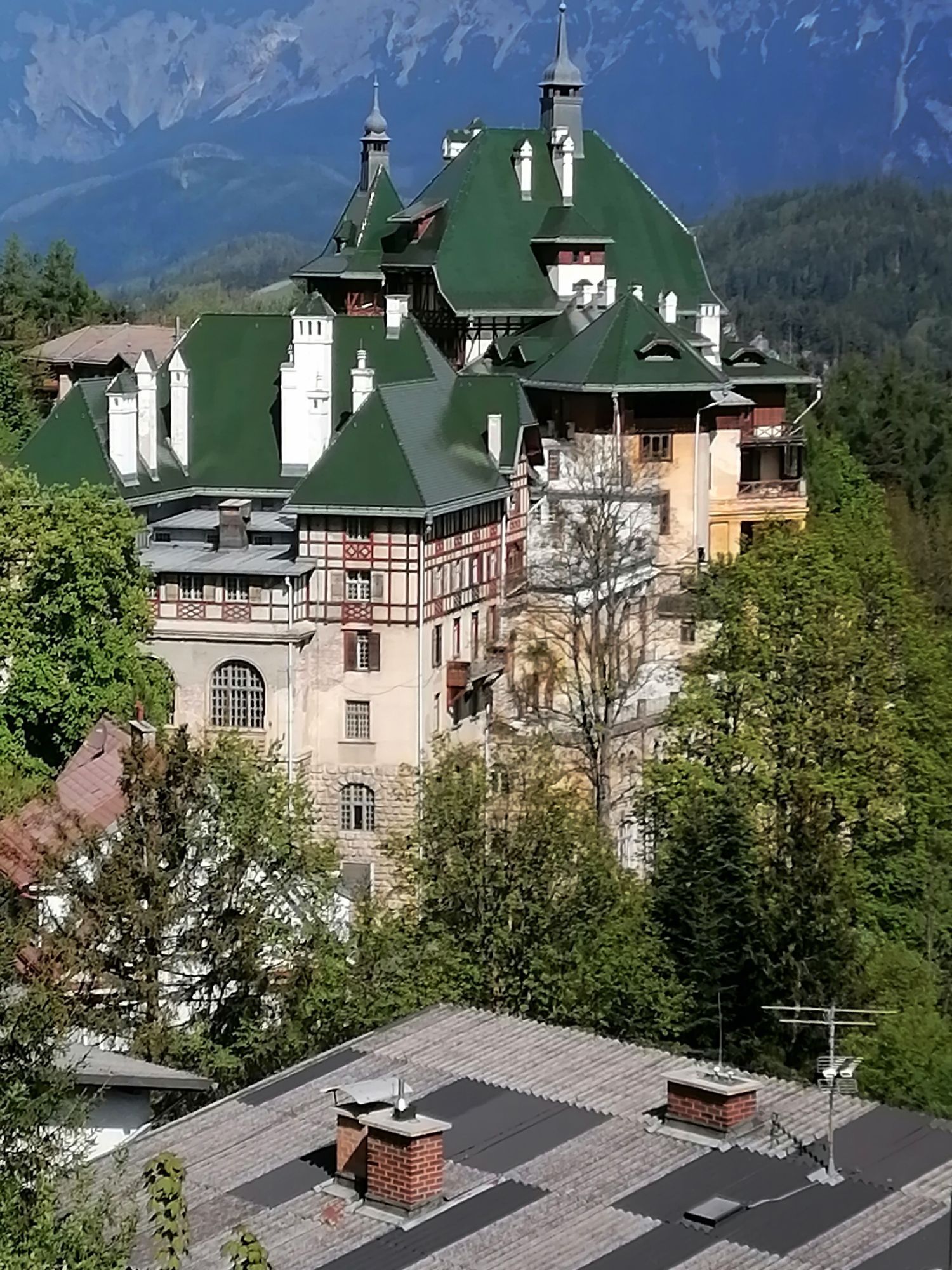

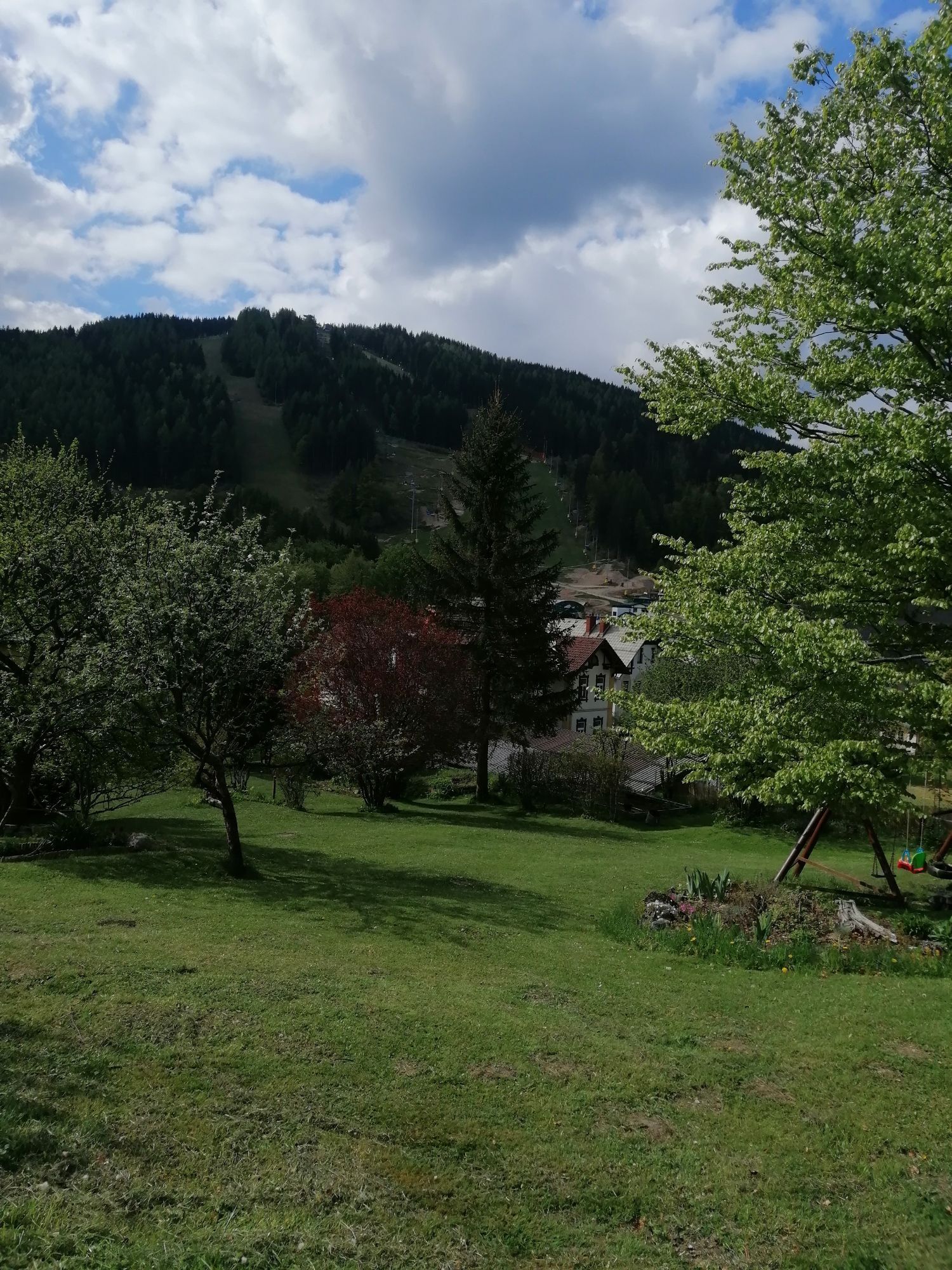
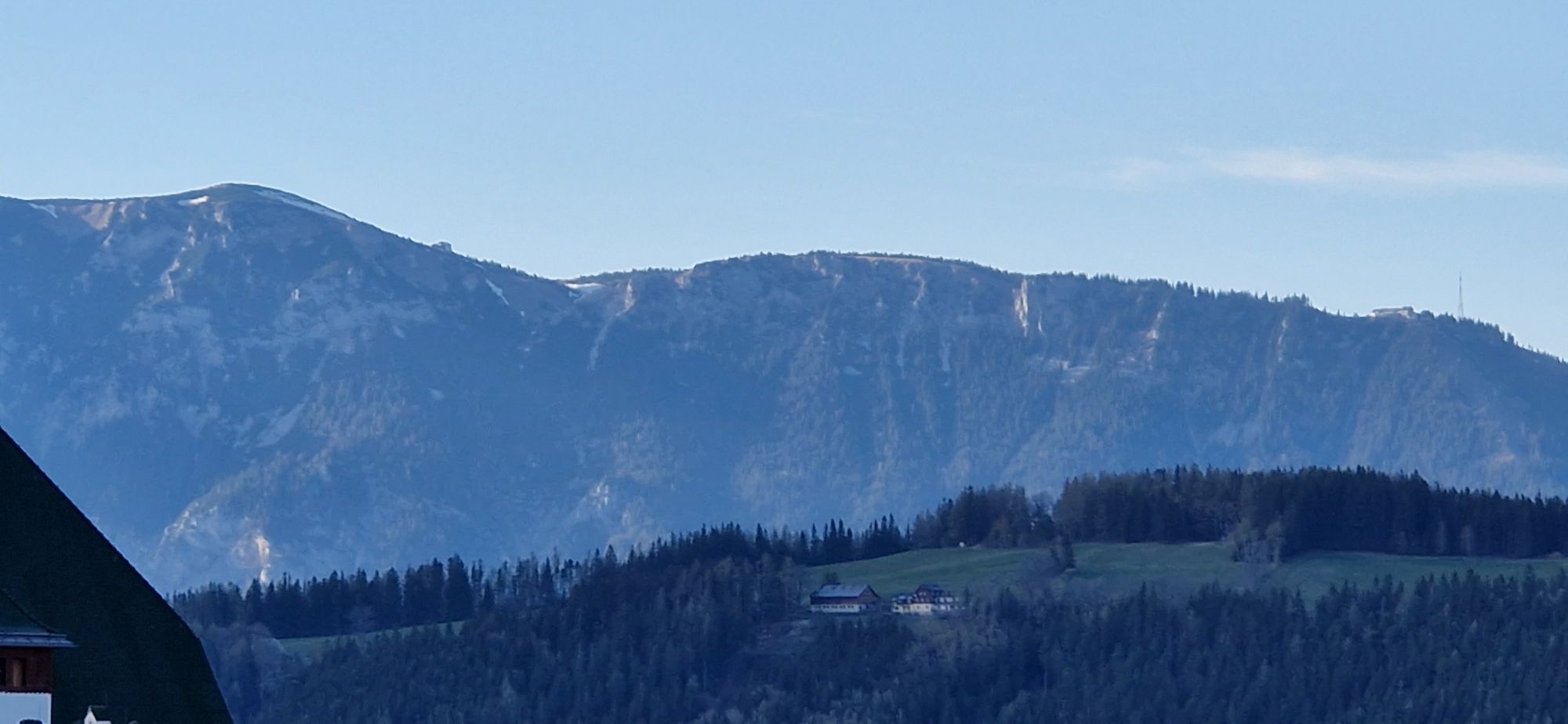
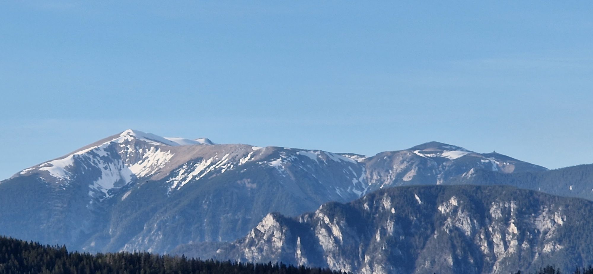
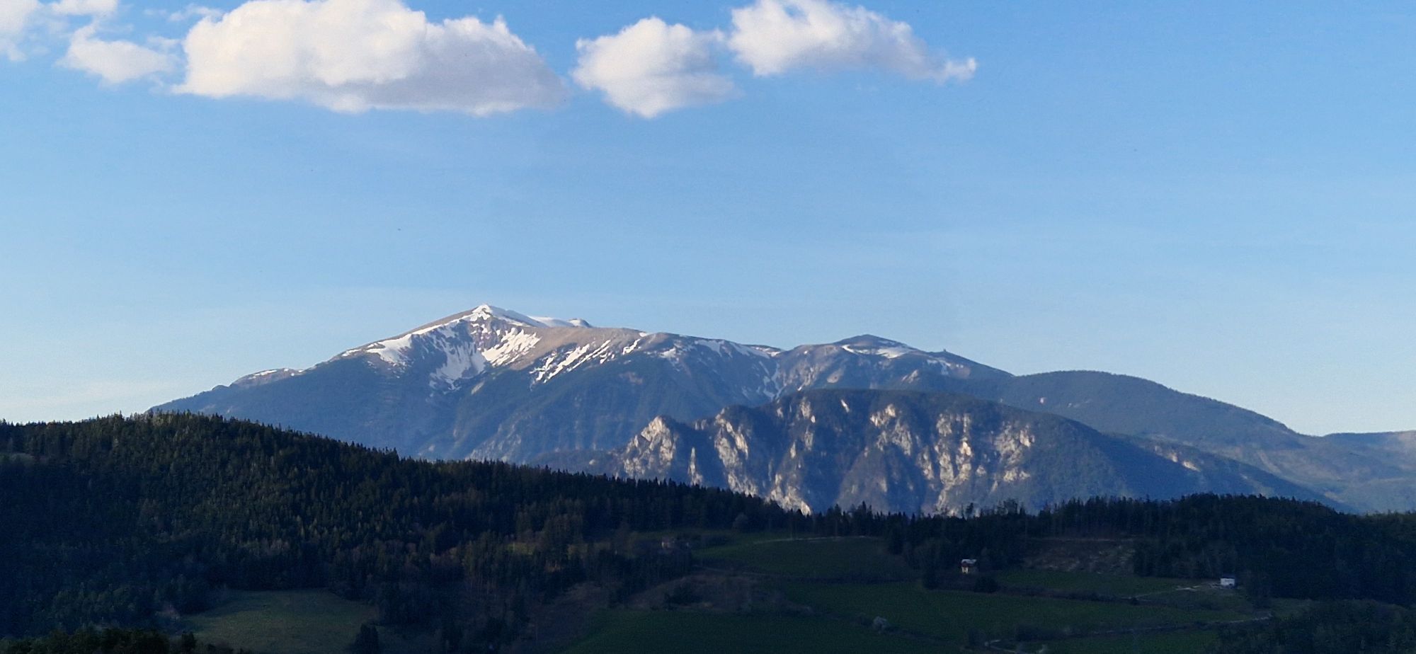
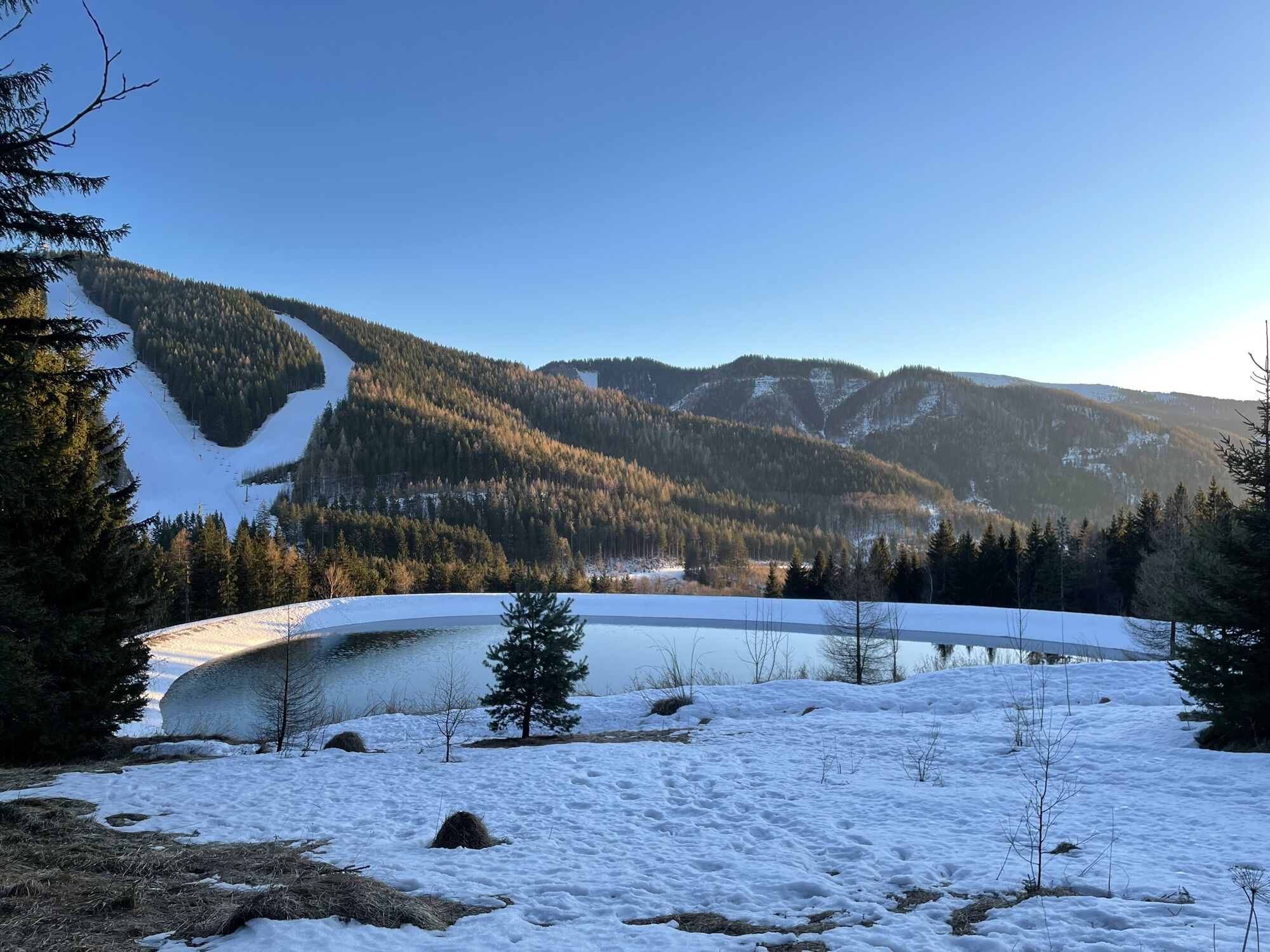
Following the footsteps of Viktor Silberer, also known as the King of Semmering. Victor Silberer made Semmering a summer resort destination. Downhill, the hike is accompanied by impressive views towards...
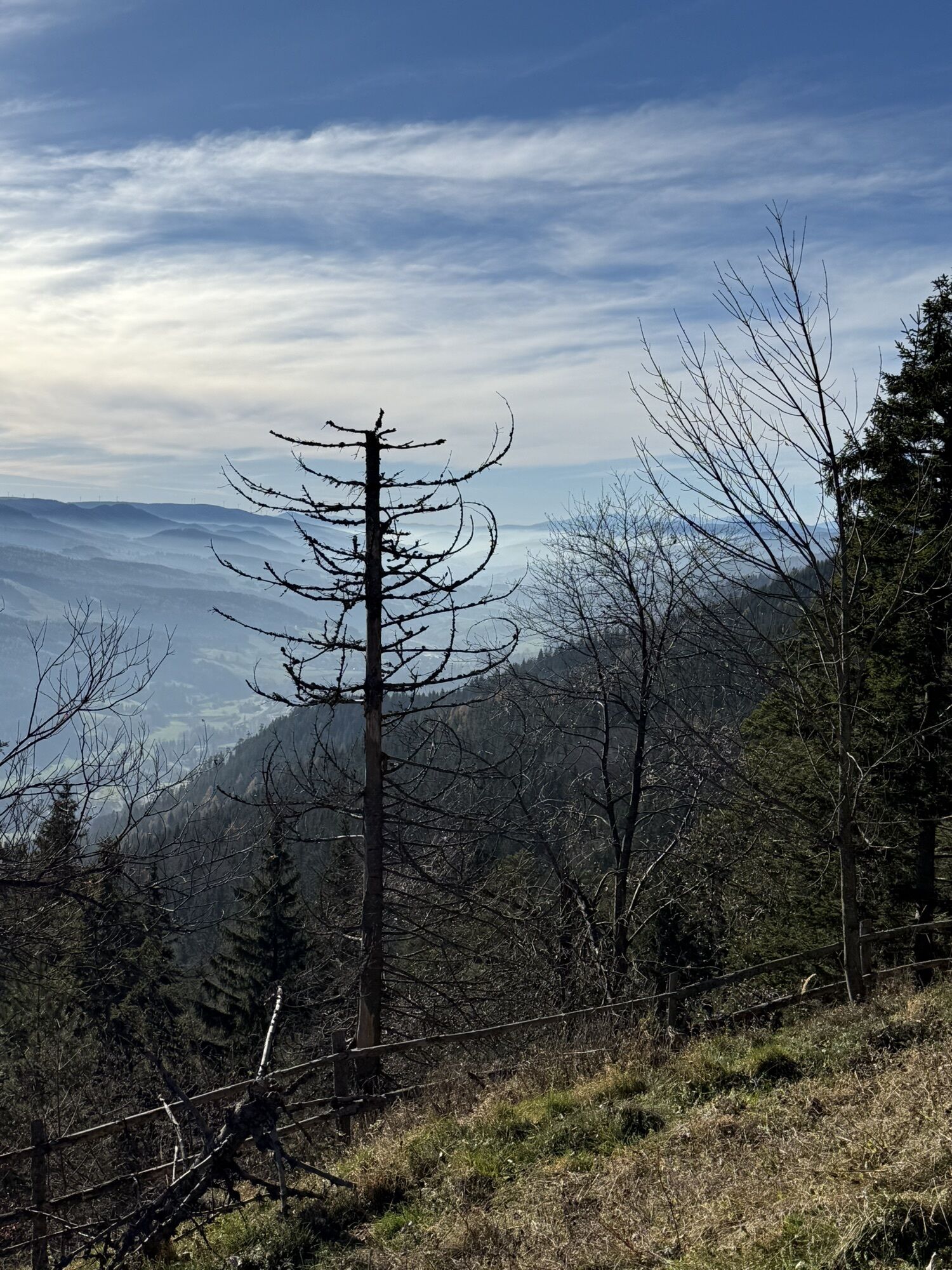
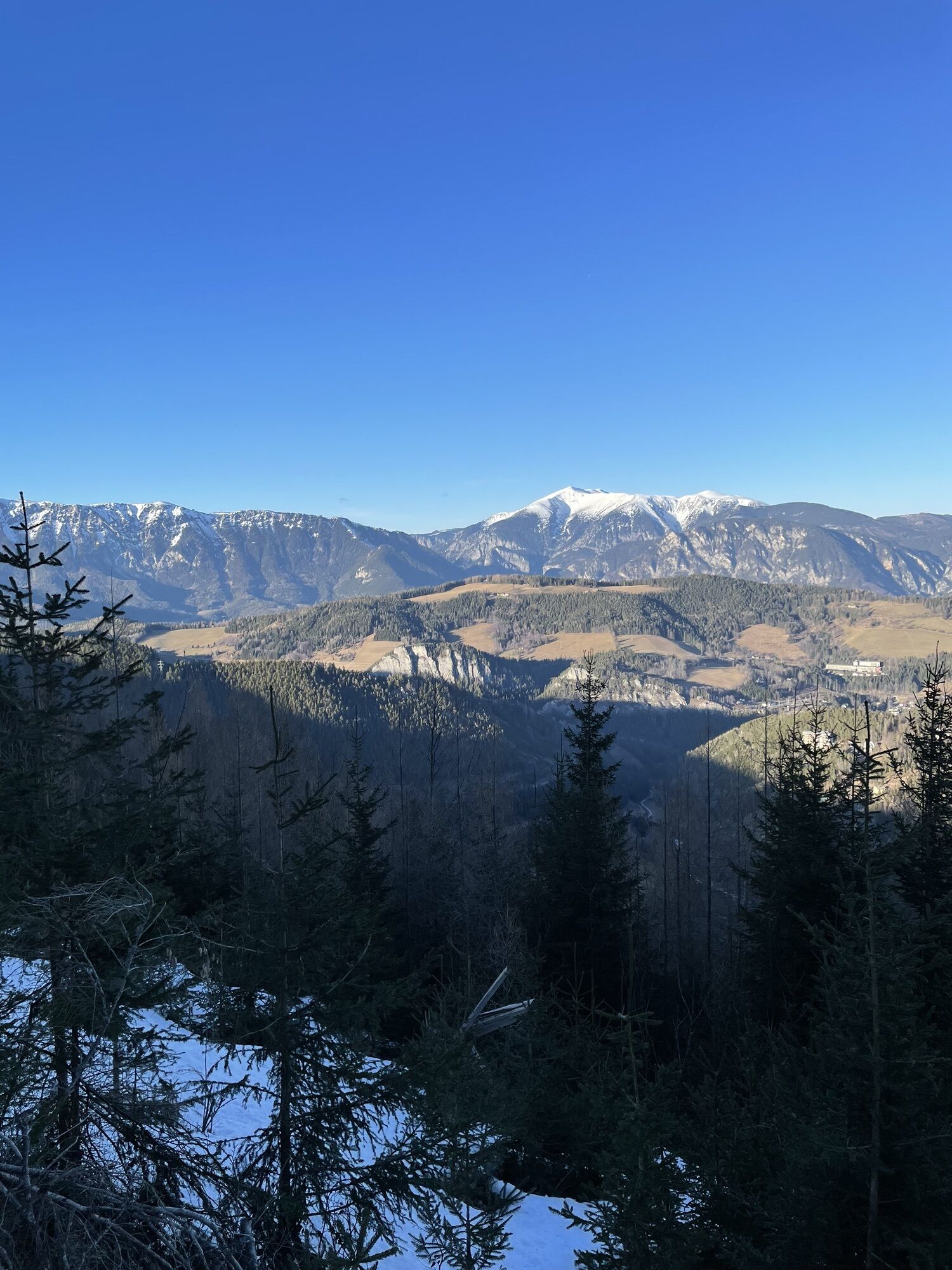
<p>Following the footsteps of Viktor Silberer, also known as the King of Semmering. Victor Silberer made Semmering a summer resort destination. Downhill, the hike is accompanied by impressive views towards Rax & Schneeberg and leads back via Hochstraße to the pass summit. In summer there is also a variant of the Pinkenkogel round.</p>

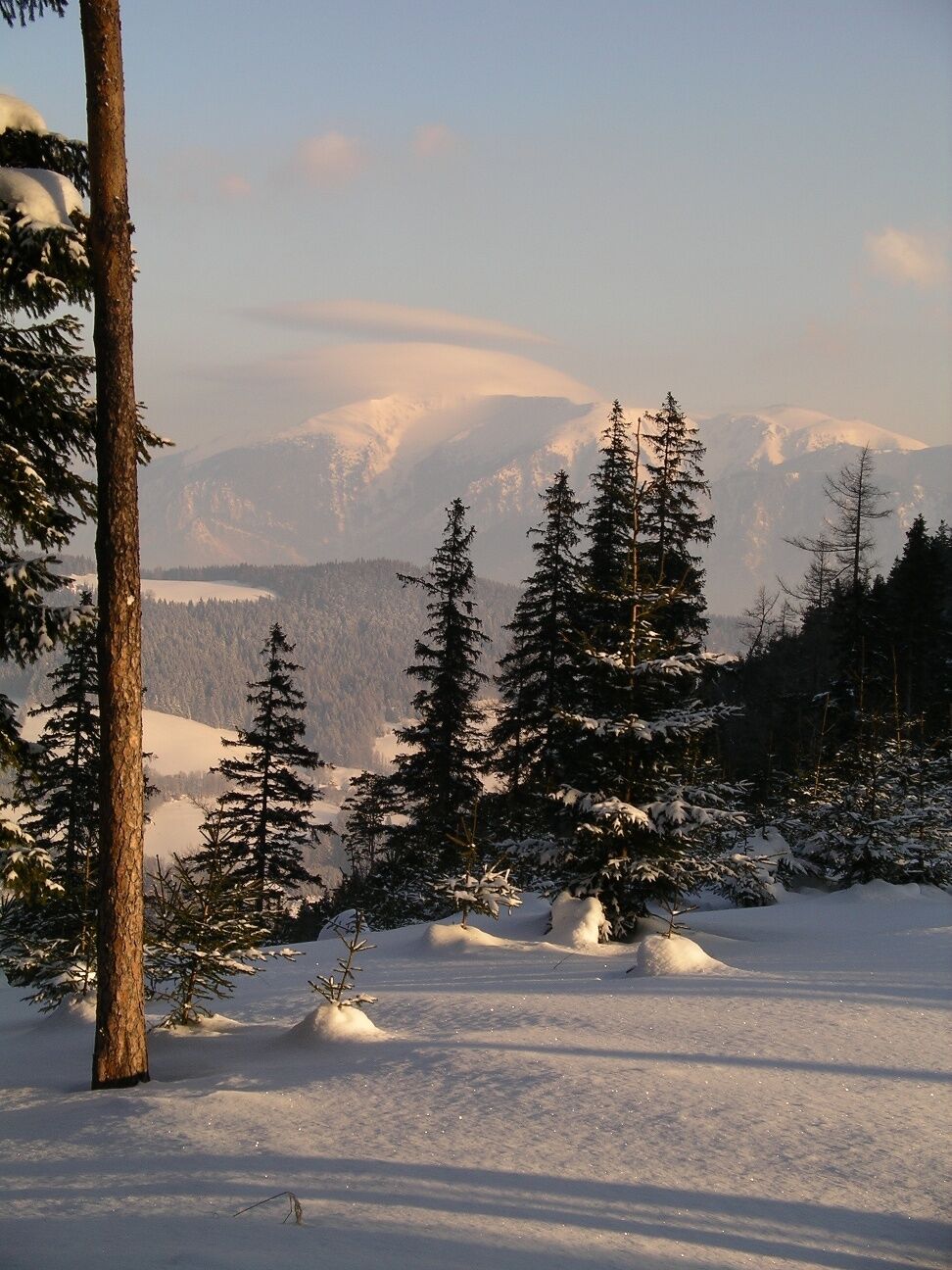

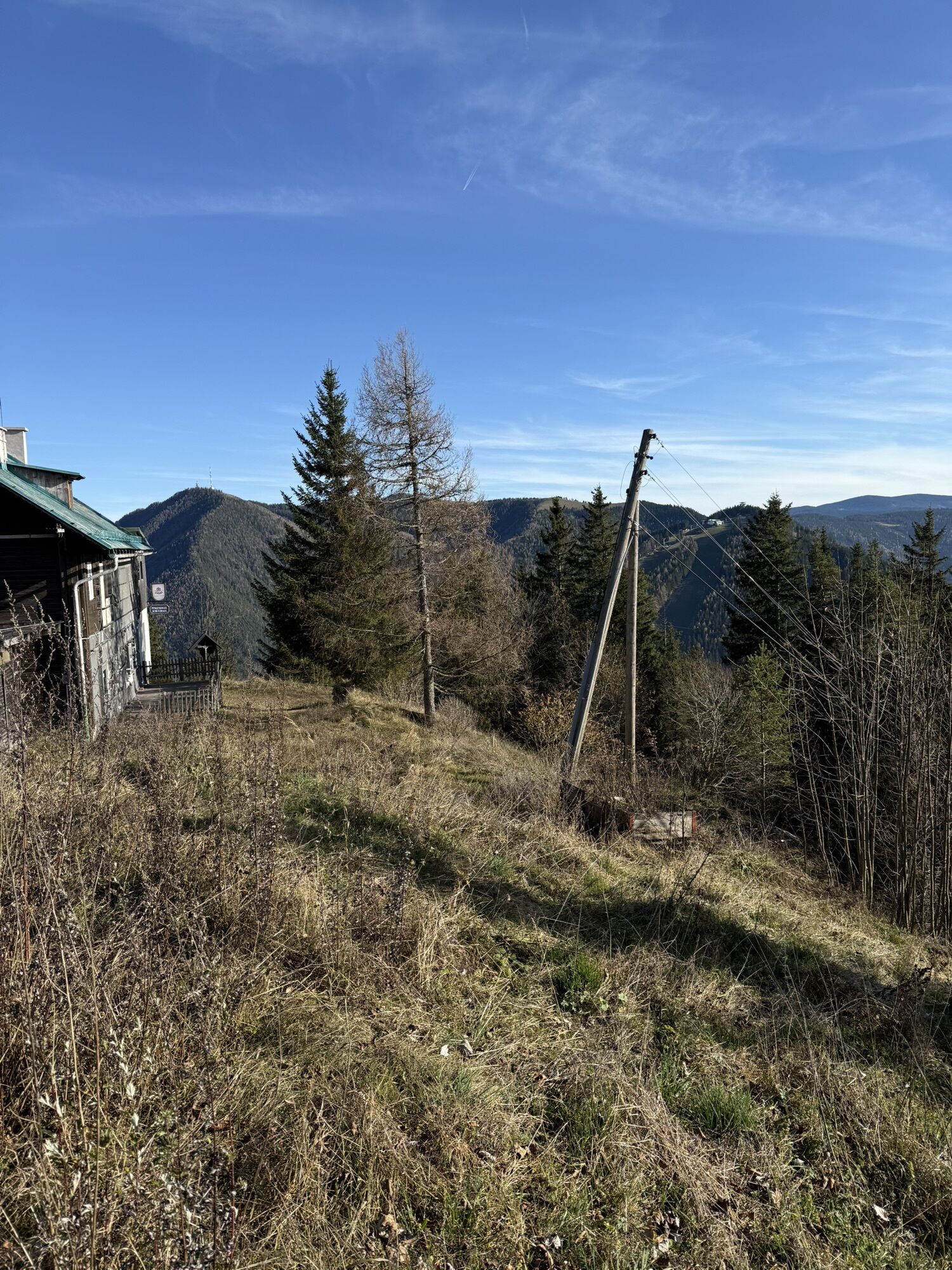
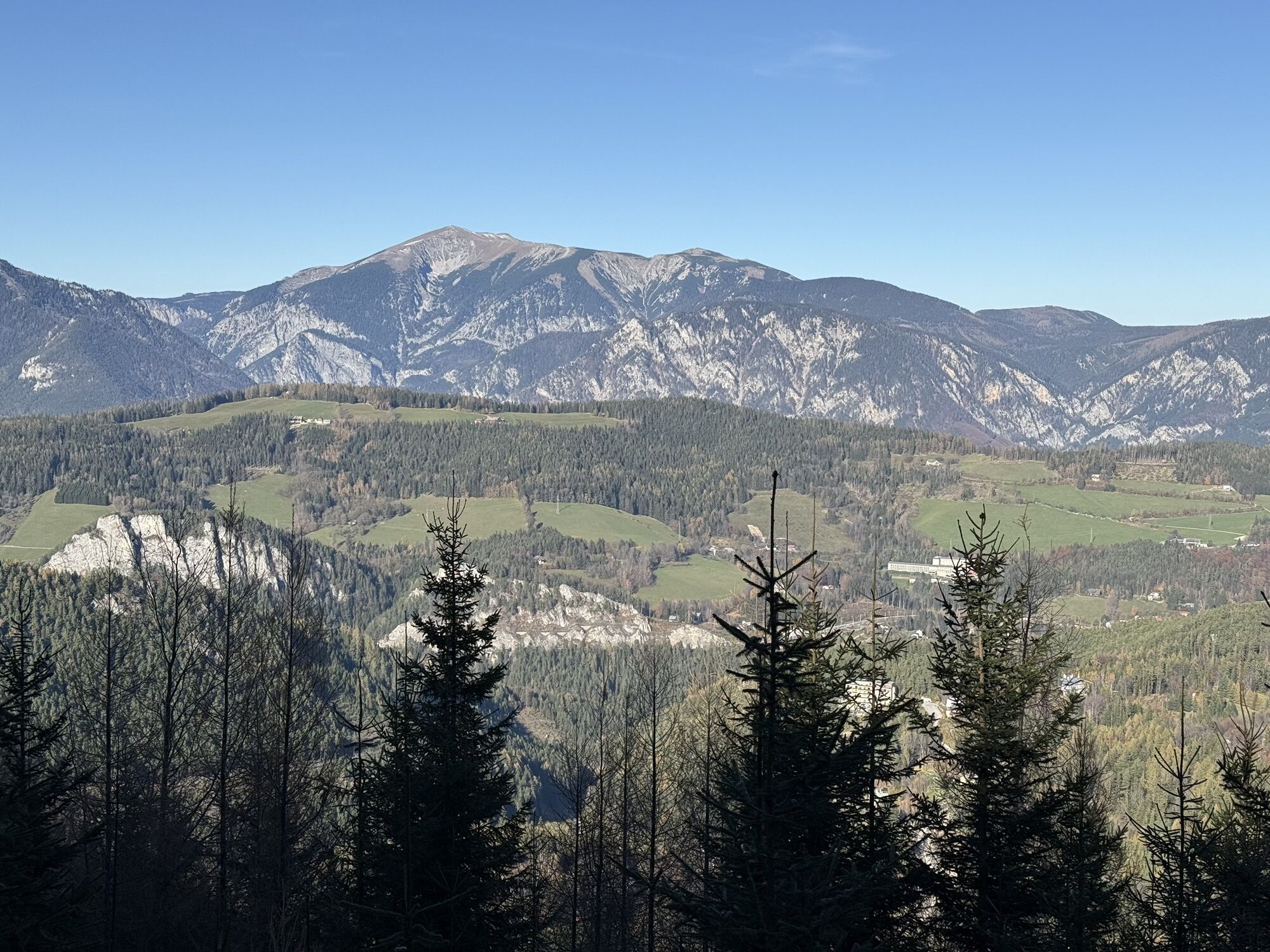
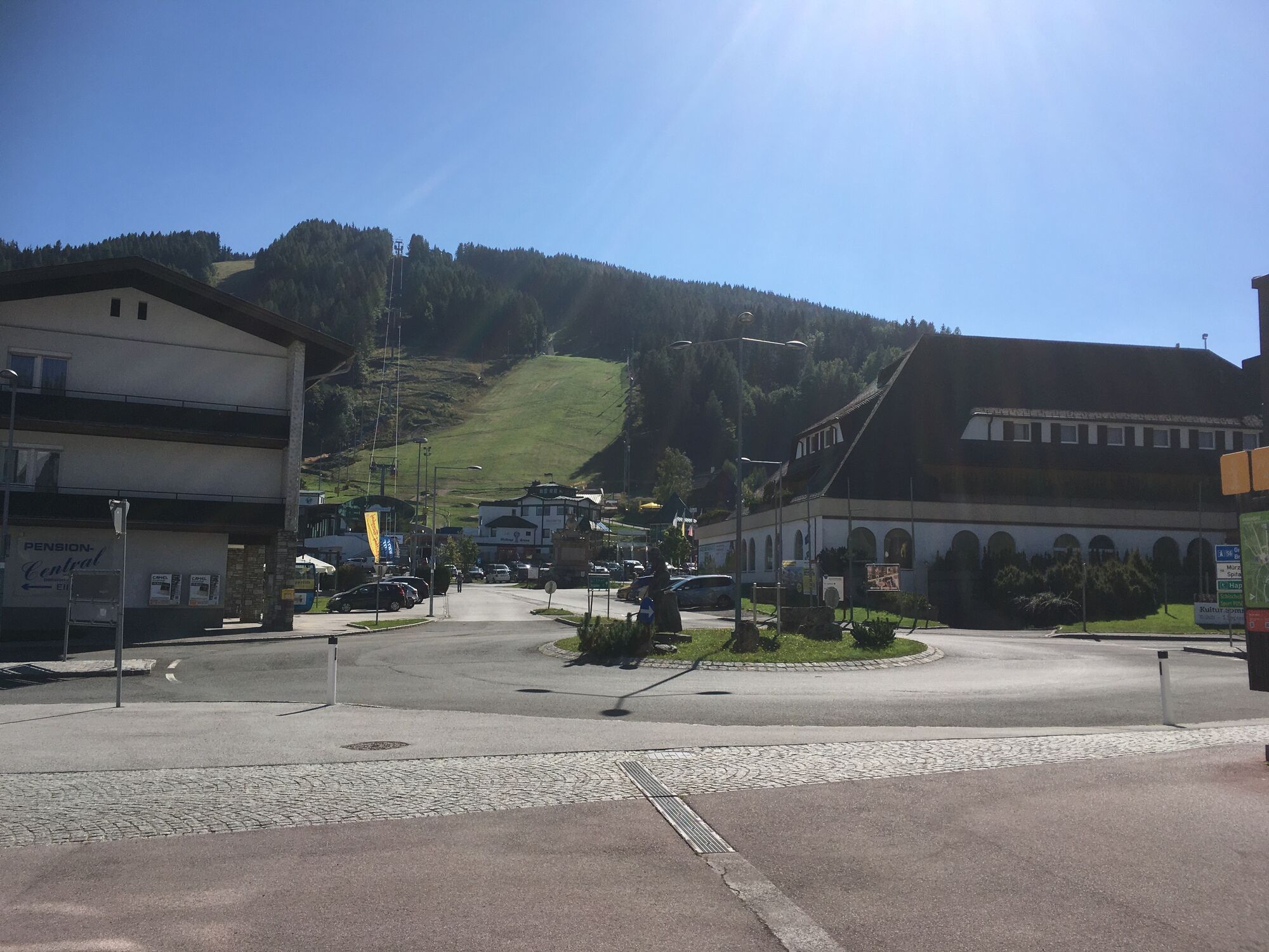
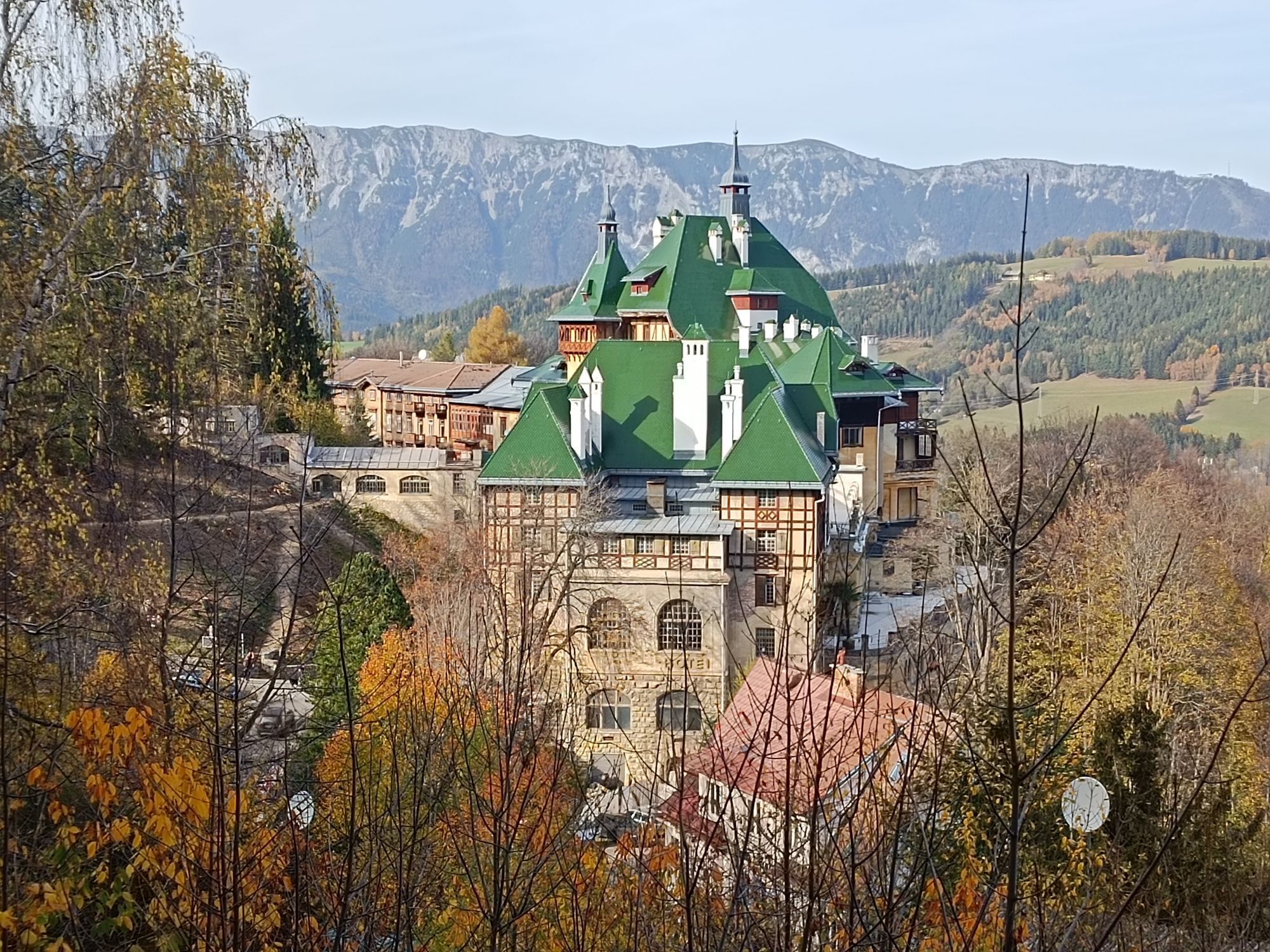
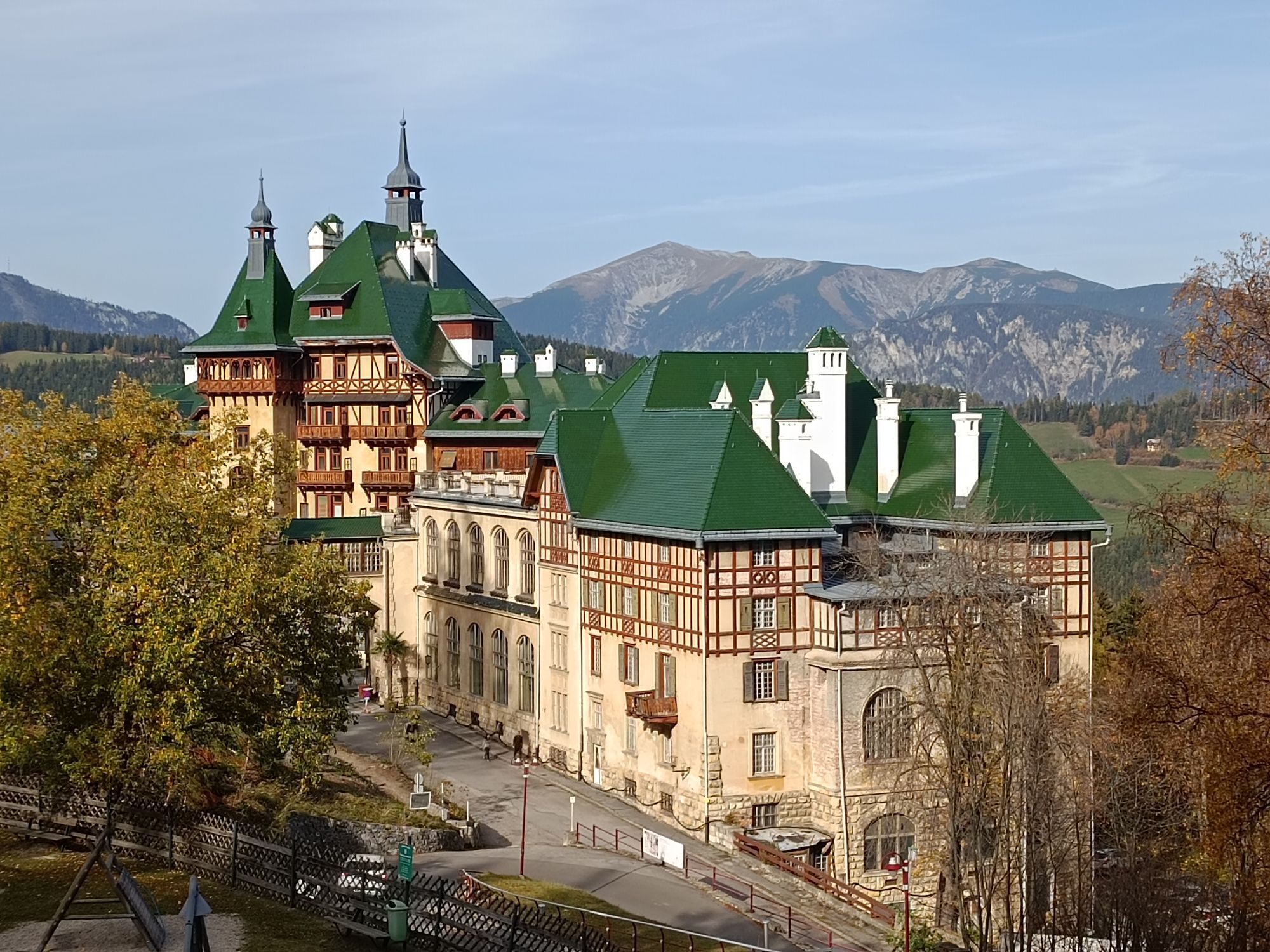
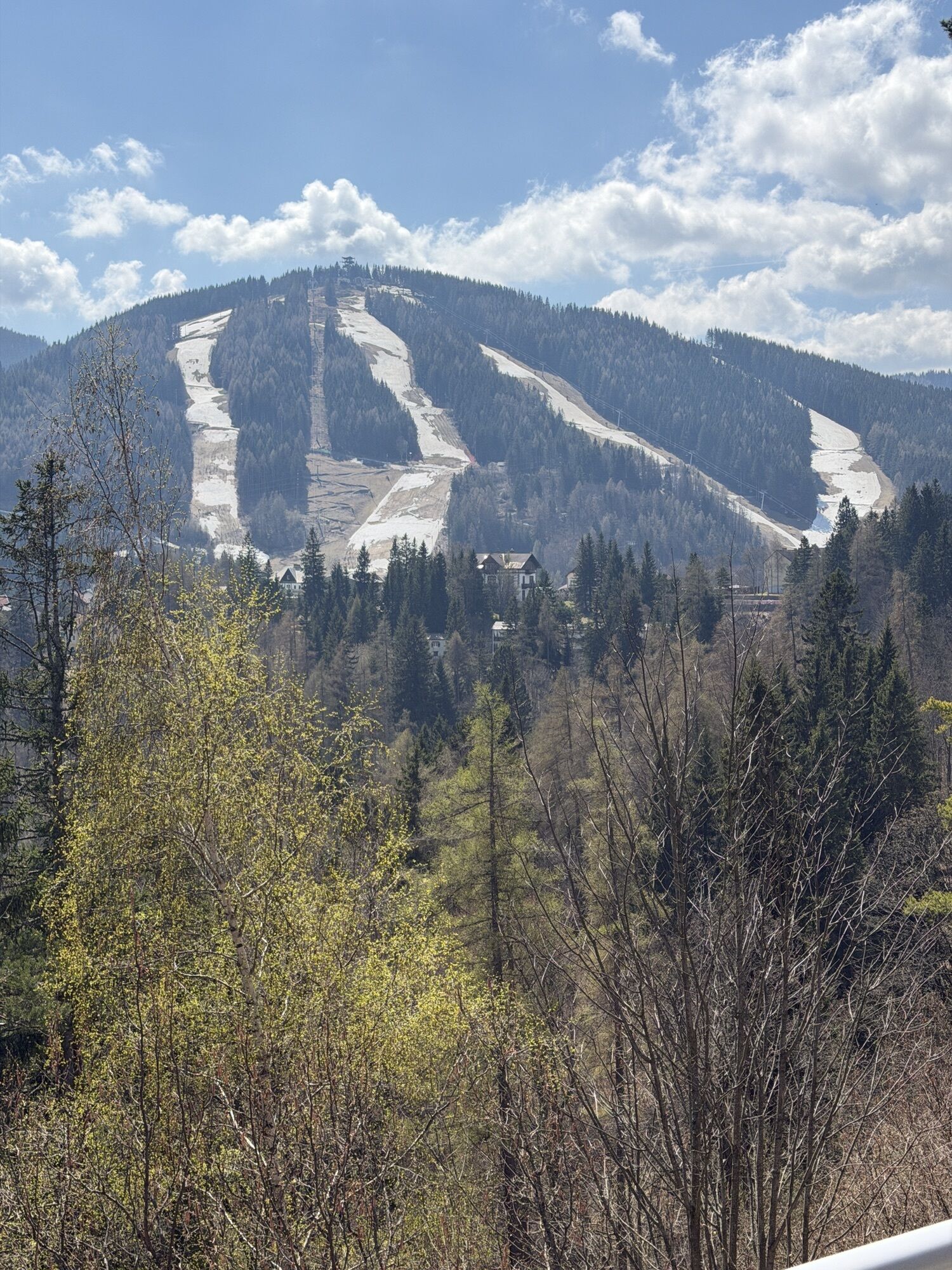
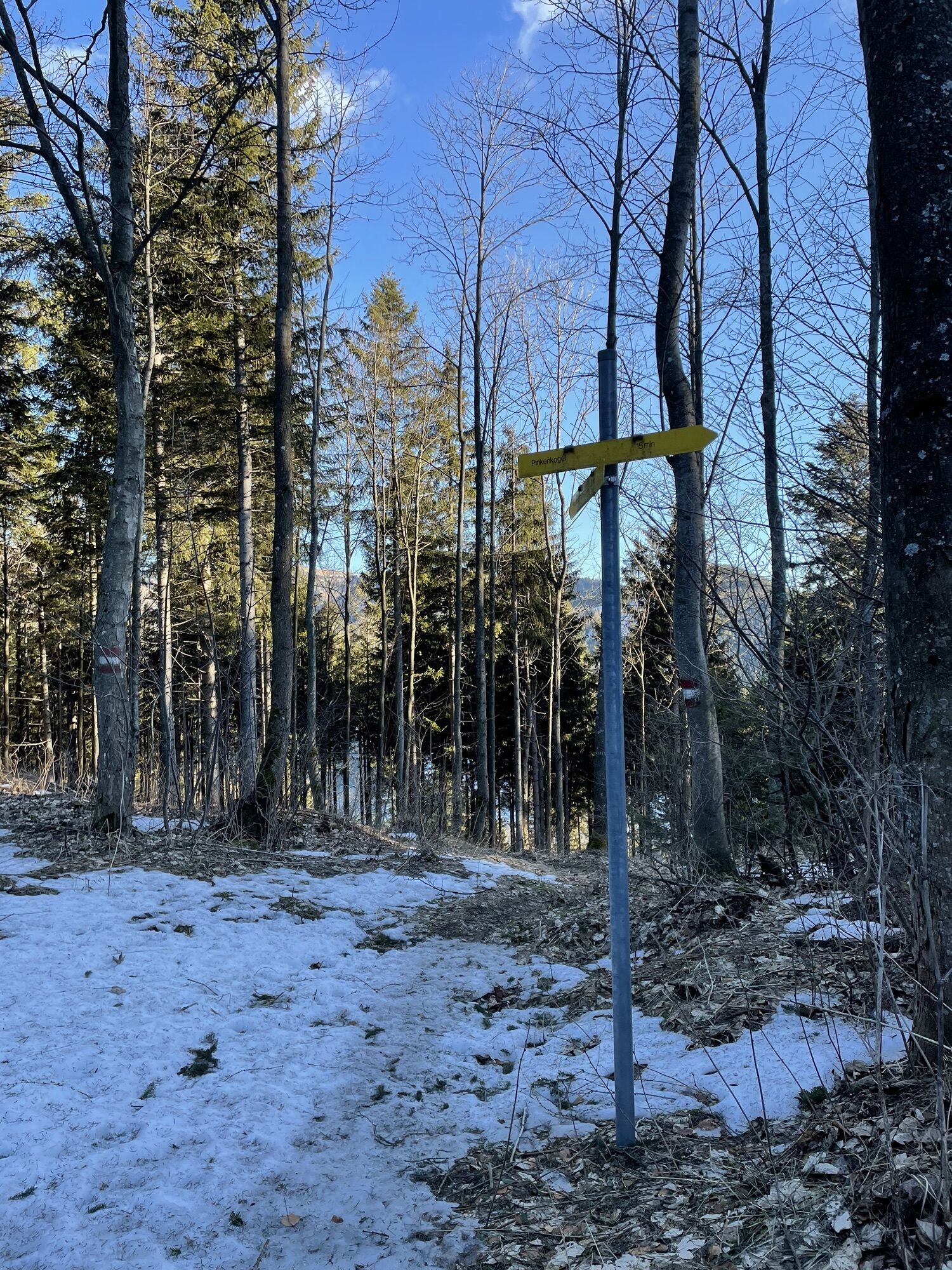
<p>The starting point of the hike is the pass summit. From here, follow the yellow signs towards Pinkenkogel and walk past the Happylift ski slope until you reach Hochstraße. Turn left just before Hotel Panhans, then right onto the forest path. From here, the path is marked with red-white-red markings.</p><p>The initially wider path later branches right and leads in switchbacks through the forest up to the ridge. Along the way, there is a beautiful view to the left of Hirschenkogel. At a larger crossroads, all variants leading to Pinkenkogel finally converge.</p><p>The last section begins at a resting bench. On the ascent, you can see the municipality of Breitenstein, Rax, and Schneeberg to the north. The path leads to the Pinkenkogel shelter (permanently closed). This is circled before briefly following the path to the right to return to the crossroads.</p><p>Now follow Liechtensteinstraße uphill, which then flows into Hochstraße at the Südbahnhotel. Then turn right and follow Hochstraße. Just before the restaurant Cervo d’oro, the path branches again and leads along the ski slope back to the pass summit.</p><p>Along the section along Hochstraße, the display cases of the Hochstraßenmuseum invite you to admire them.</p>
<p>Always take suitable maps with you. Wear clothing adapted to the route (sturdy shoes, poles, waterproof outdoor clothing, etc.). Take sun and rain protection as well as water and a snack. Take your mobile phone with you and save the mountain rescue emergency number: 140</p><p>After snowfall, it is recommended to do the hike with snowshoes.</p>
<p>Your hikes in the Viennese Alps should be an all-around beautiful and safe experience.</p><p>Please consider the following:</p><p>Make sure when choosing the route that it matches your mountain experience and your fitness level. Check the weather forecast in advance. The weather can change surprisingly quickly in the mountains. Therefore, always start out accordingly equipped (suitable footwear, rain protection). Check if the huts and snack stations you want to visit along the way are open. Inform someone about your chosen route and your planned return before you set out. Stay on marked paths and avoid shortcuts. Because of dryness, meadows and forests are easy to ignite. Handle fire with respect and report any possible fire immediately to the fire department (122). Do not throw trash into the landscape and dispose of it properly.</p><p><strong>Warning, this winter hiking trail may not be completely cleared in snowy conditions and may have slippery spots. Use is at your own risk! Also remember that in winter markings may be invisible due to snow and prepare well for your tour! Pay attention to early dusk and plan your tour carefully.</strong></p><p>Emergency number for mountain rescue 140</p><p>EU emergency number: 112</p><p>Avalanche information: www.lawinenwarndienst-niederösterreich.at</p><p><a href="www.wieneralpen.at/sei-gut-drauf-komm... basic rules in the mountains</a></p>
<p><strong>From Vienna</strong> drive on the A2 South Motorway to the S6 Semmering Expressway and take the Maria Schutz exit. Turn right onto L4168. Continue on Semmering/L4168, Semmeringstraße and Passstraße to B306.</p><p><strong>From Graz</strong> drive on the S6 Semmering Expressway and take the Spital/Semmering exit. Turn left onto Semmering Ersatz Str./B306. Continue on B306.</p>
<p>Arrive by train at Semmering station. You can hike from the <a href="www.wieneralpen.at/a-bahnhof-semmerin... to the starting point of the hike (Semmering pass summit)</a> in about 25 minutes.</p><p>Alternatively, book an individual ride with the <a href="www.semmering-rax.com/rufbus">... Semmering-Rax</a>, which will take you to the starting point.</p><p><strong>RUFbus stops</strong></p><p>Semmering station 109</p><p>Semmering pass summit 113</p><p>Hotel Panhans 111</p><p>Südbahnhotel 107</p><p>Panoramahotel Wagner 110</p><p>TIP: Simply use the Postbus Shuttle app or the hotline +43 660 900 88 22.</p><p>More information at <a href="www.oebb.at/"> www.oebb.at </a> and <a href="www.vor.at/"> www.vor.at </a></p>
<p>Public parking spaces available at the pass summit.</p>
Combine the hike with a stop for food and drink at SemmeringHochstraßenmuseum: Information about events and buildings around the turn of the century
 Uzyskaj wgląd
Zawsze na żywo z ponad 9 500 kamer internetowych. bergfex Jako użytkownik Pro, możesz teraz zobaczyć odpowiednie kamery internetowe dla wielu wycieczek w aplikacji wycieczki od. Pozwala to na bezpośredni podgląd aktualnych warunków.
Uzyskaj wgląd
Zawsze na żywo z ponad 9 500 kamer internetowych. bergfex Jako użytkownik Pro, możesz teraz zobaczyć odpowiednie kamery internetowe dla wielu wycieczek w aplikacji wycieczki od. Pozwala to na bezpośredni podgląd aktualnych warunków.

Popularne wycieczki w okolicy
-
4,7
Zahnradbahn und Wandern am Schneeberg - Plateauwanderung
średniWędrówka 6,90 km -
4,8
Rax - Heukuppe
Wędrówka 15,6 km -
4,8
Cultural walk Payerbach-Reichenau
światłoWędrówka 7,43 km -
3,7
Schwaigen Rundwanderung
światłoWędrówka 8,24 km -
5,0
"Weichtalklamm" über Stock und Stein durch das Höllental - Weichtalhaus - Kientallerhütte 1340m
średniWędrówka 14,0 km -
4,9
Reißtalersteig und Gretchensteig
ciężkiWędrówka 8,10 km -
4,9
RAX Preiner Gscheid Waxriegel Predigtstuhl Heukuppe Karl L.Haus ret. 20210908
średniWędrówka 12 km -
4,9
"Über den höchsten Nieder-Ösi" - Schneeberg - Weichtalklamm - Klosterwappen - Stadlwandleiten
średniWędrówka 17,7 km -
4,8
"Krummbachstein 1602m" - Eng - Payerbach - Rundwanderweg
średniWędrówka 24,8 km -
4,8
RAX Hinternaßwald Reißtalklamm Bärenlochsteig Habsburghaus Kaisersteig retour 01.08.2017
ciężkiWędrówka 15,6 km
Wędrówki i tropienie


Nie przegap ofert i inspiracji na następne wakacje
Twój adres e-mail została dodana do listy mailingowej.





