







Semmering - Zauberblick - route

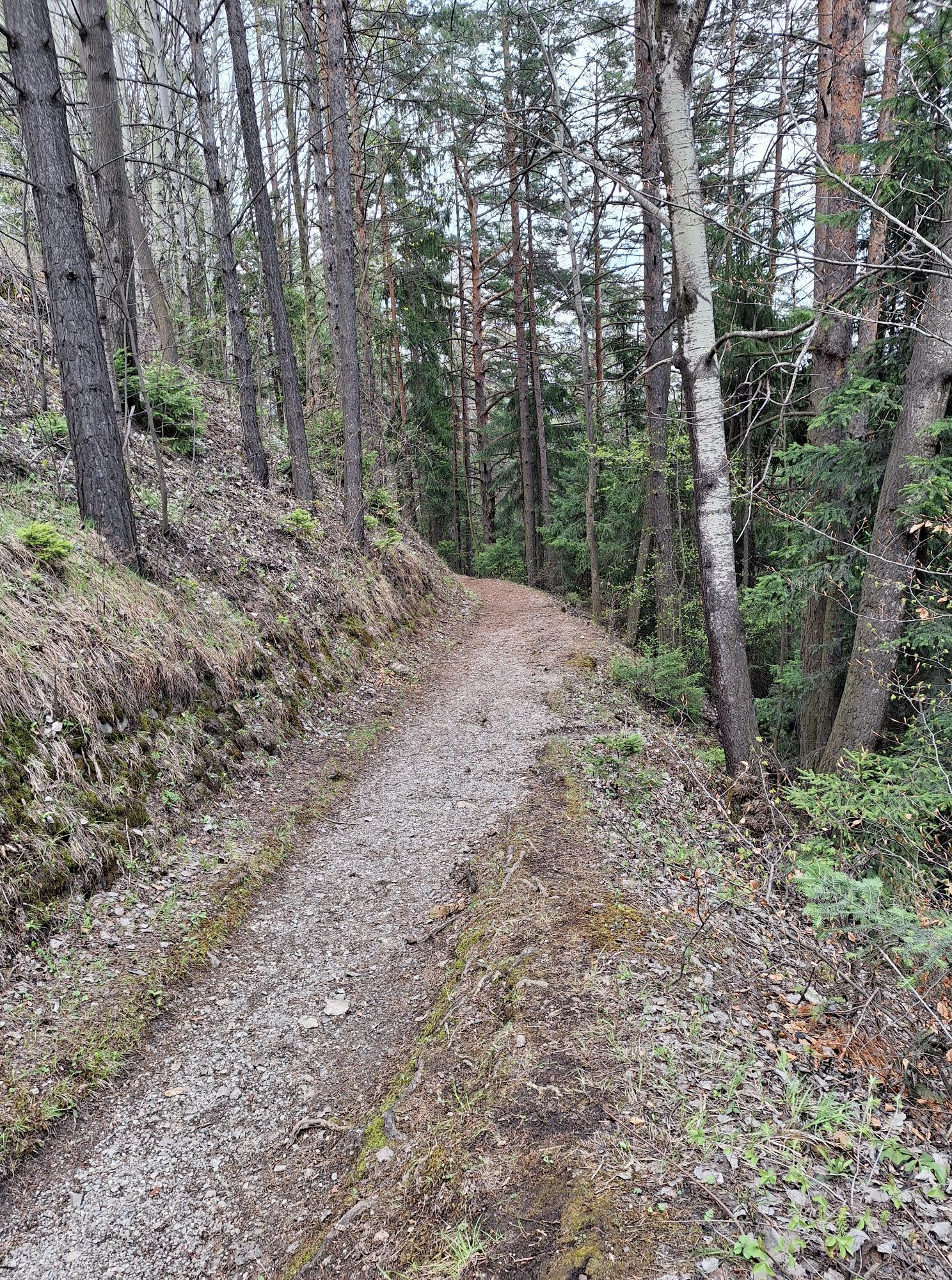
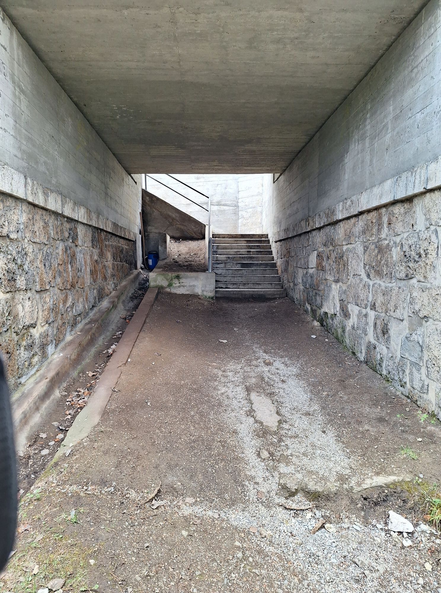
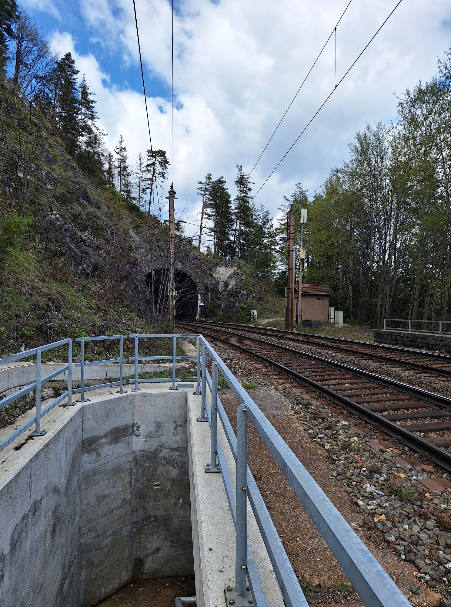
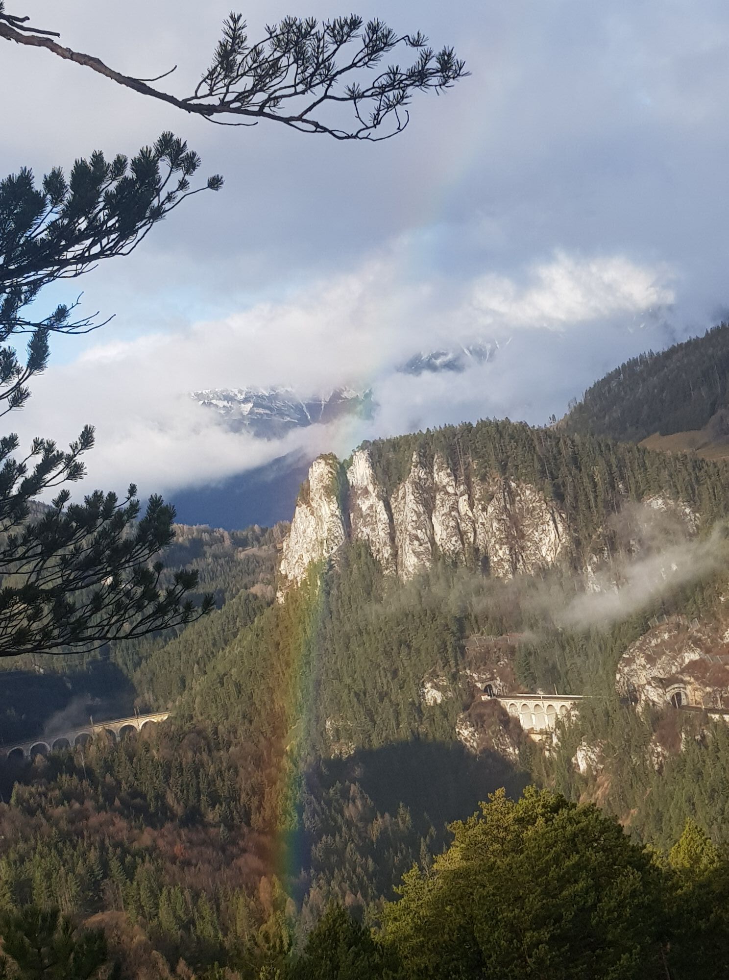
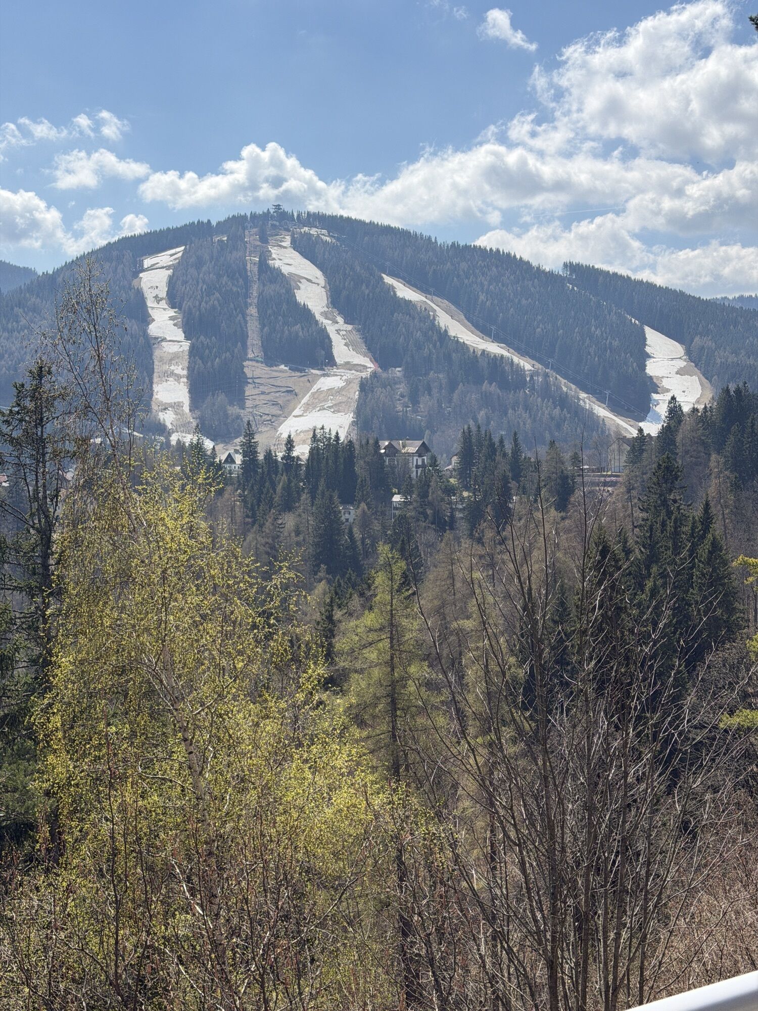
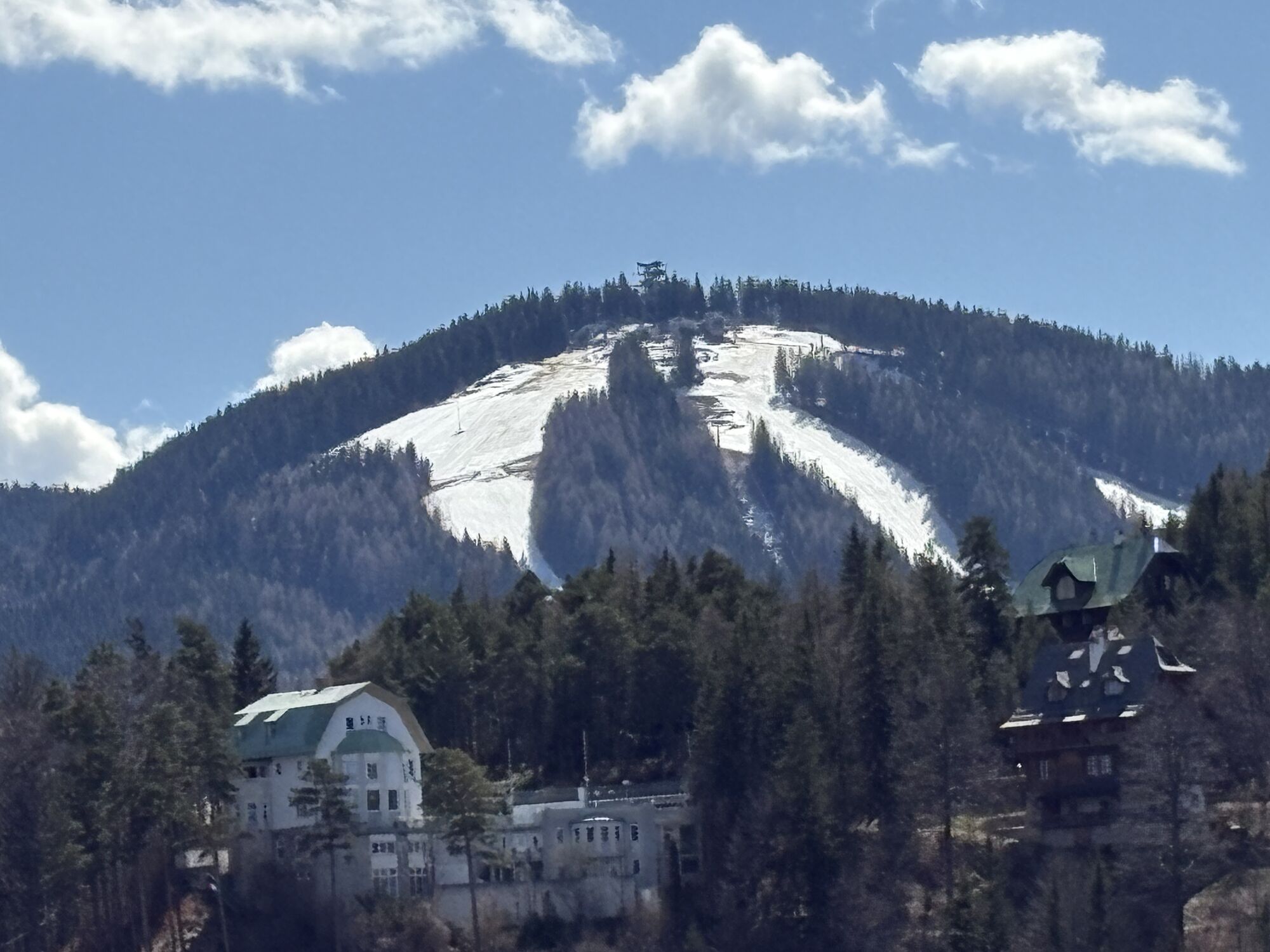
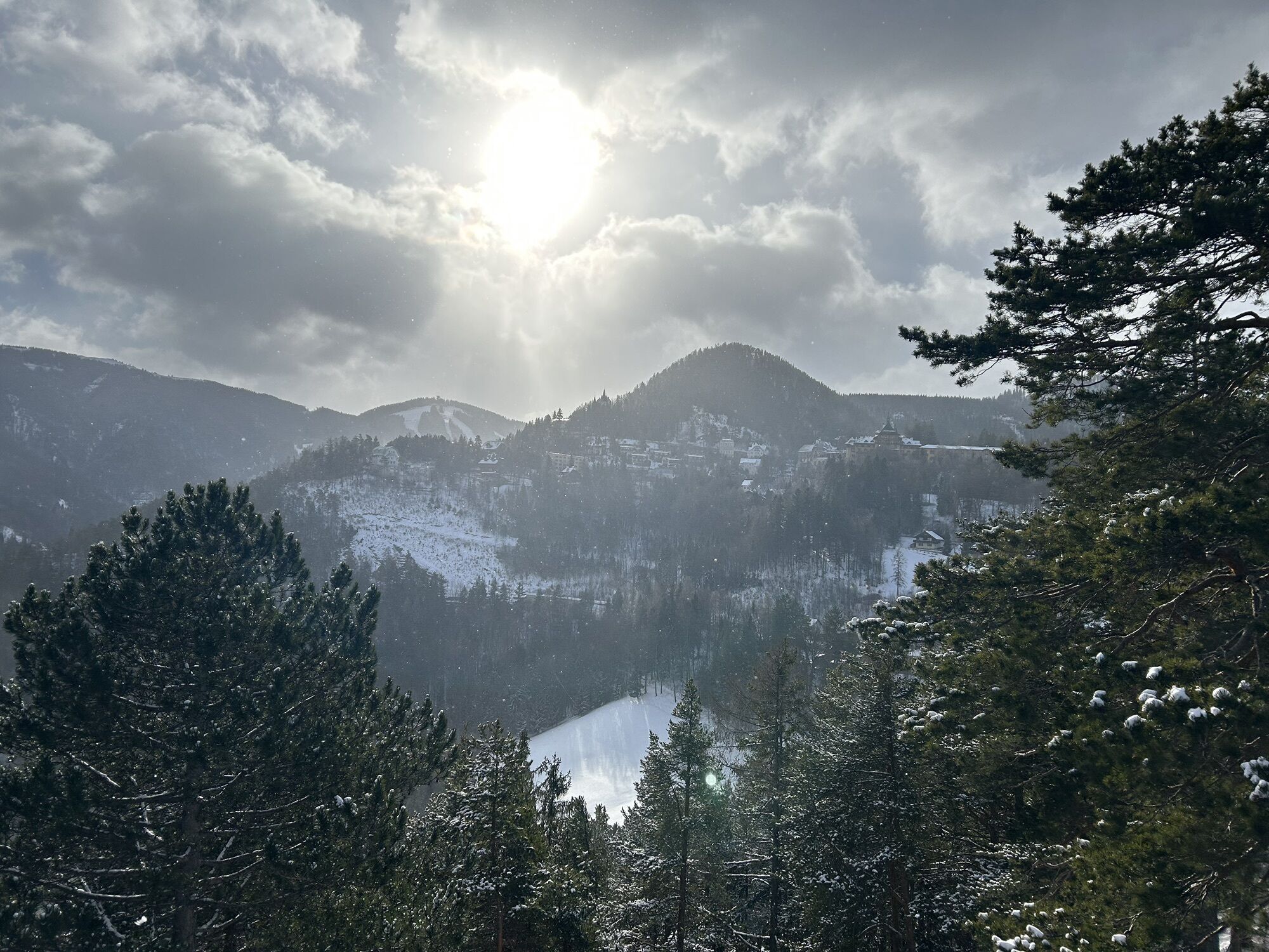
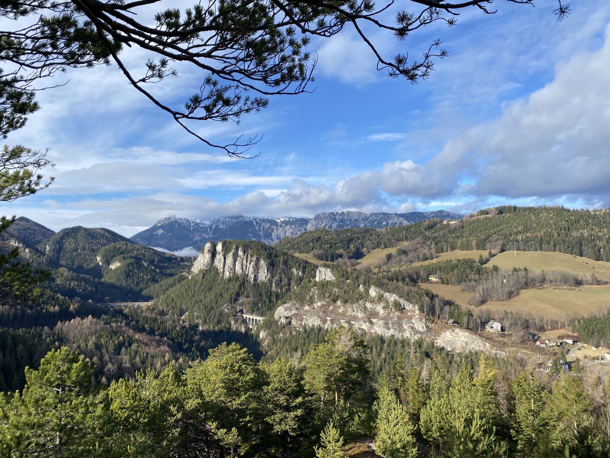
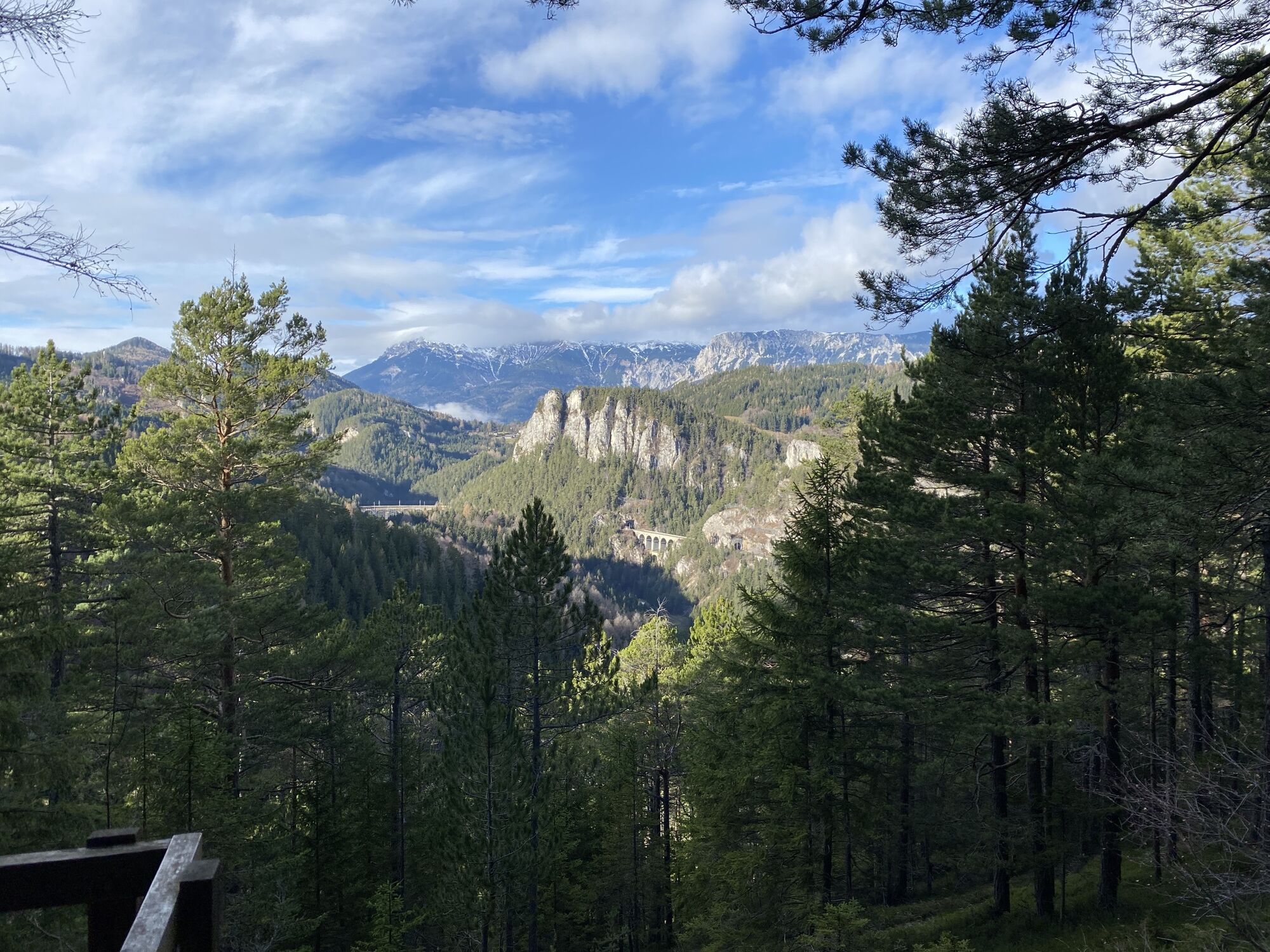
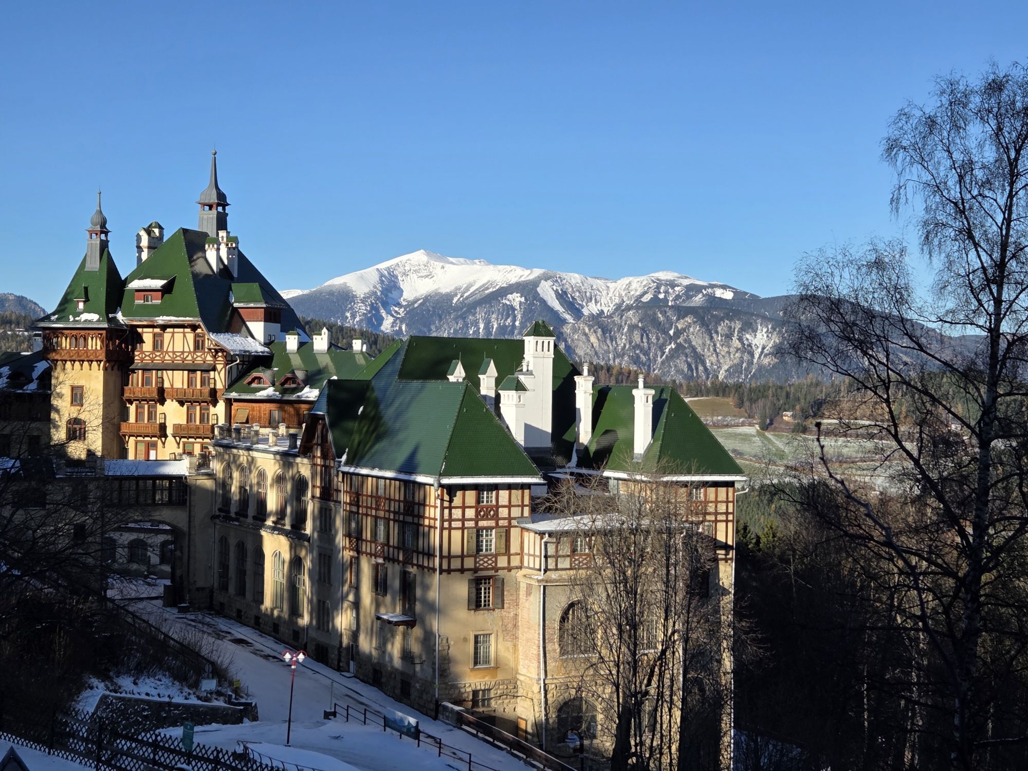
From the top of the pass via the high road past Hotel Panhans to the Holy Family Parish Church and rectory. Downhill to the station and east along the track under the underpass to Wolfsbergkogel halt....
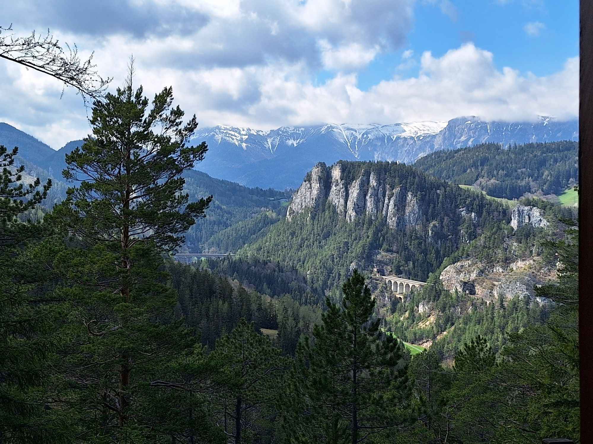
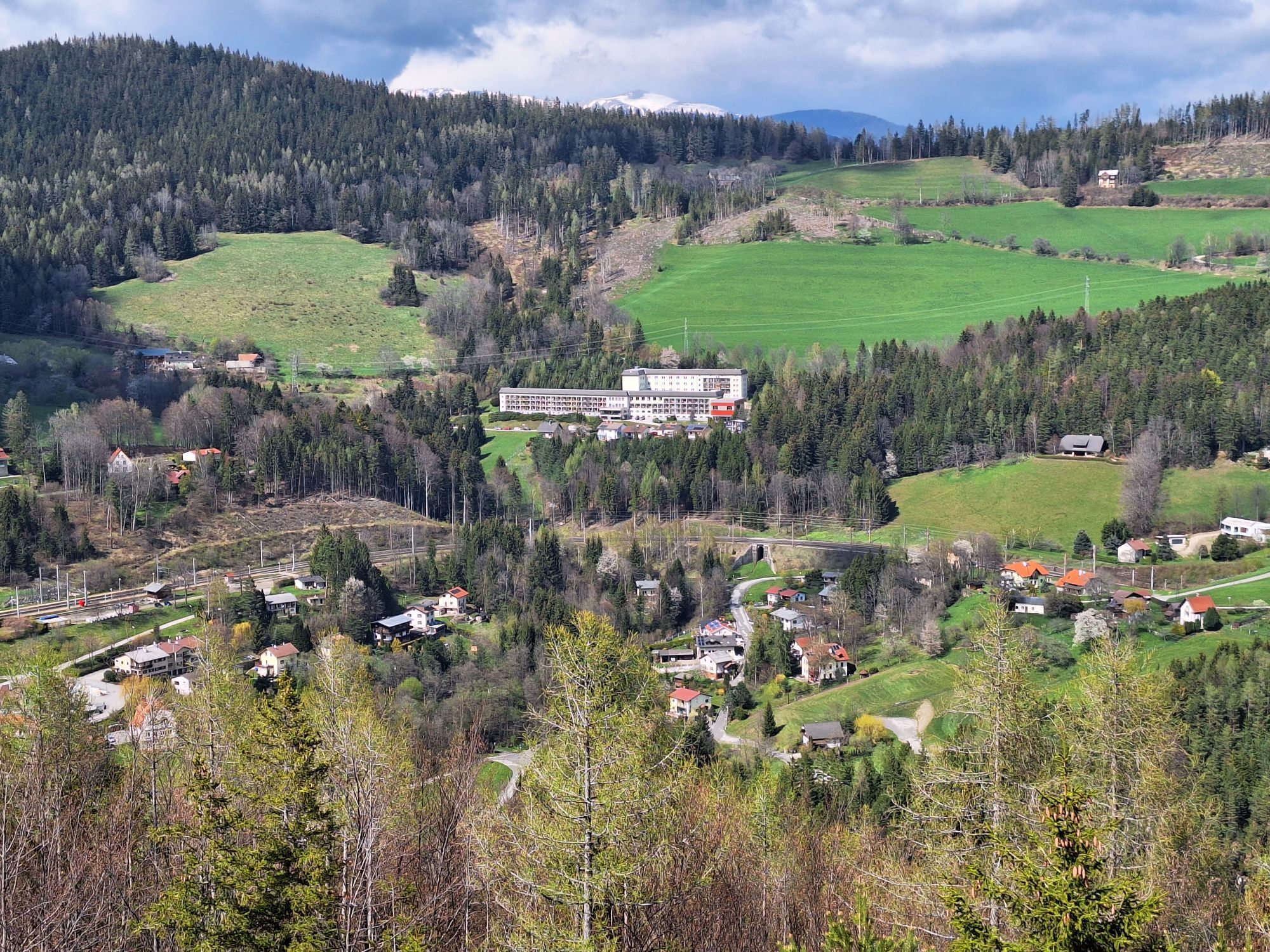
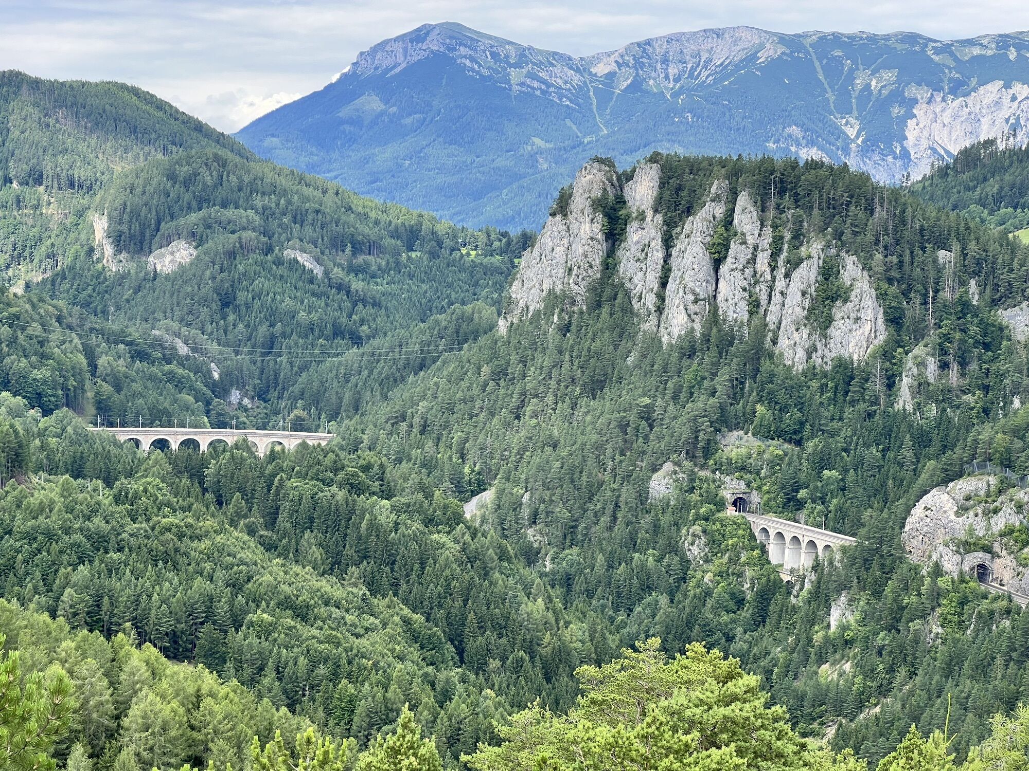
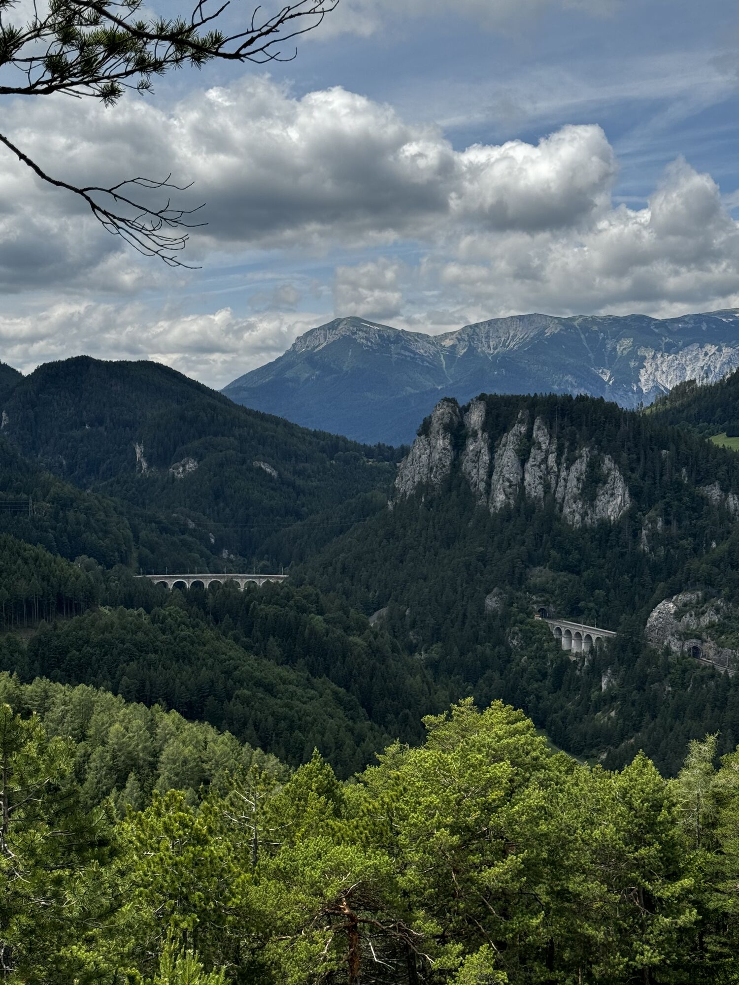
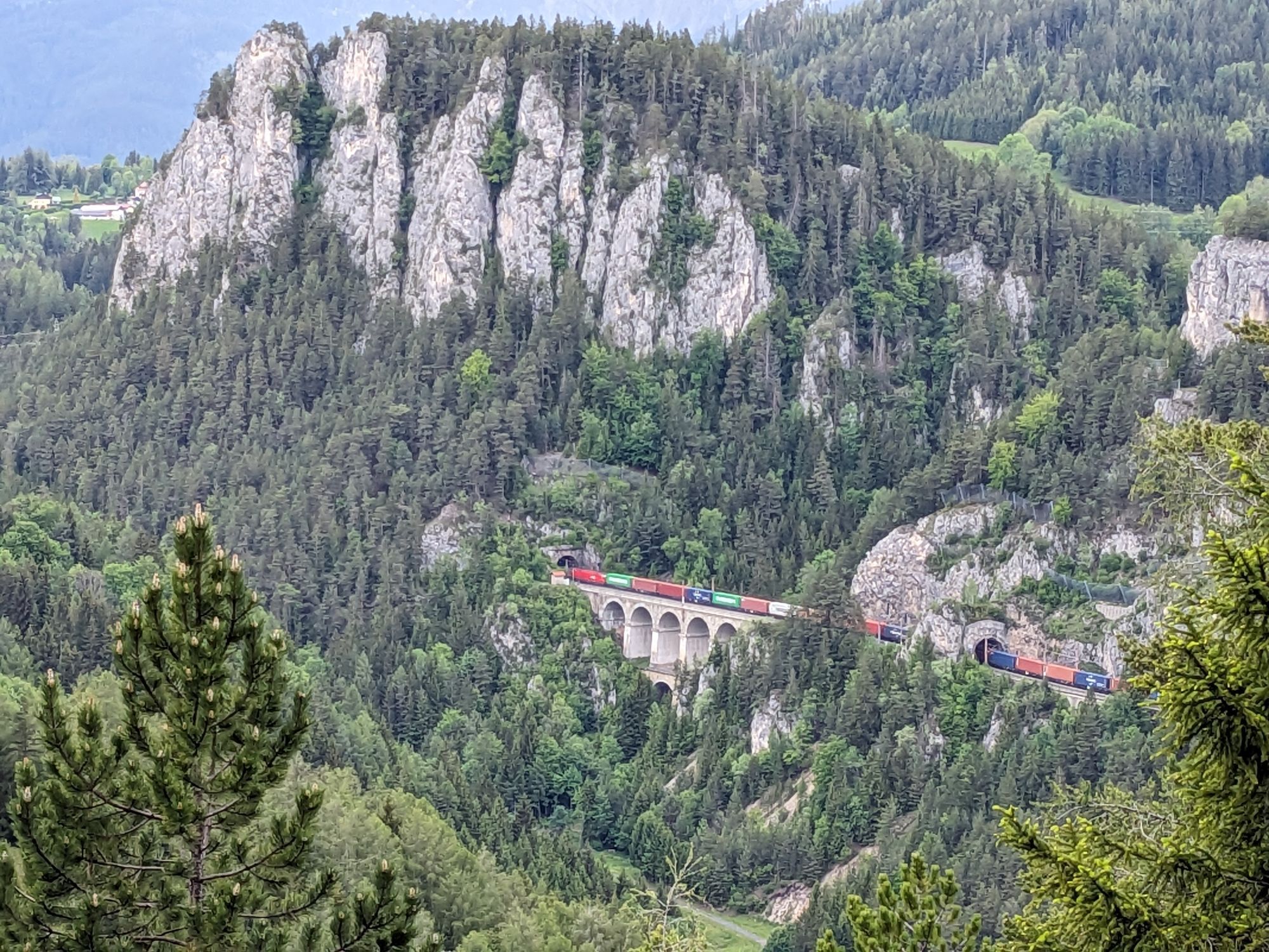
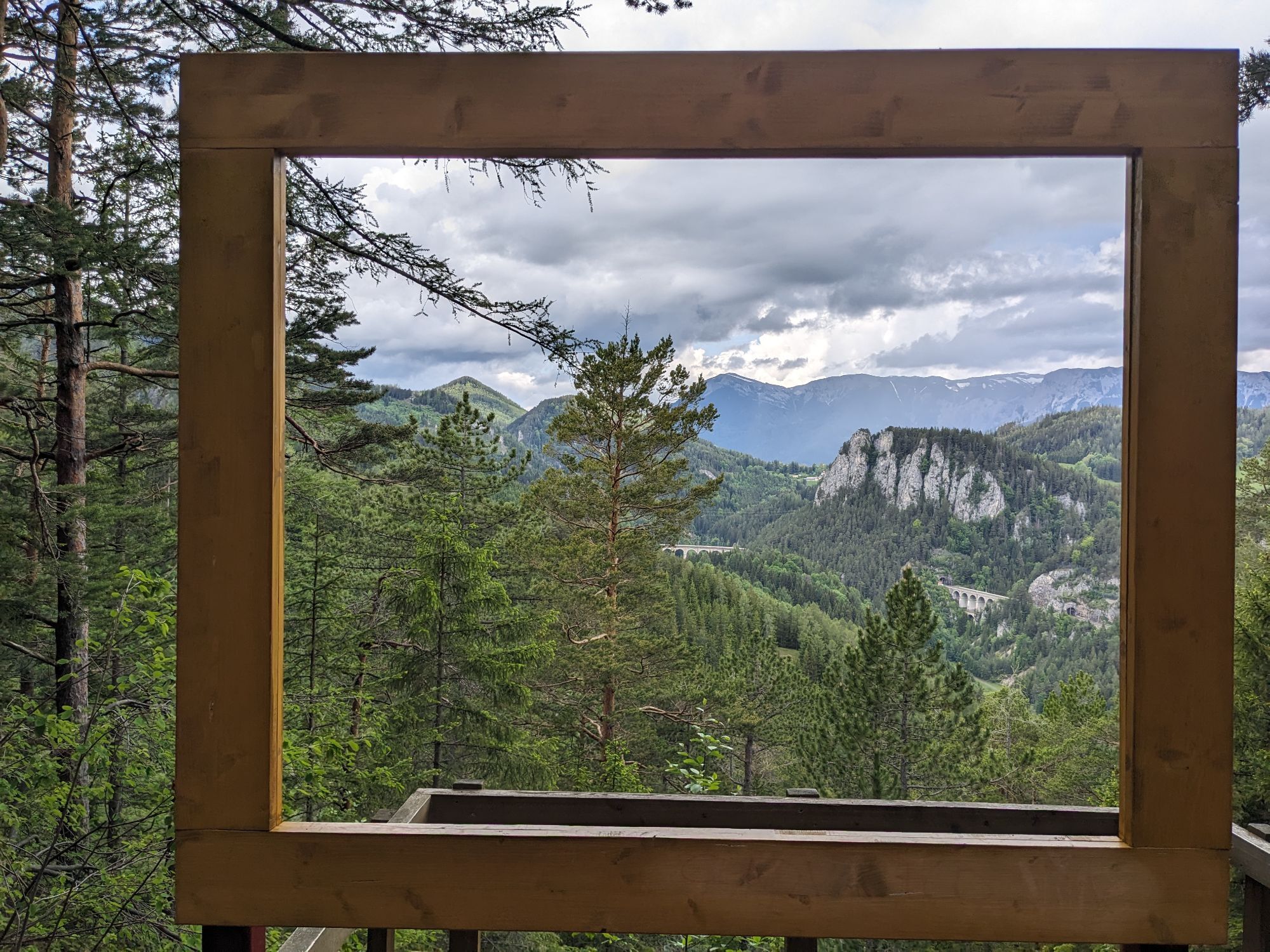
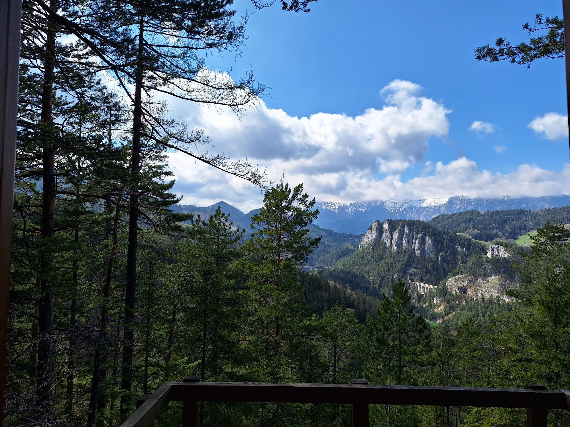
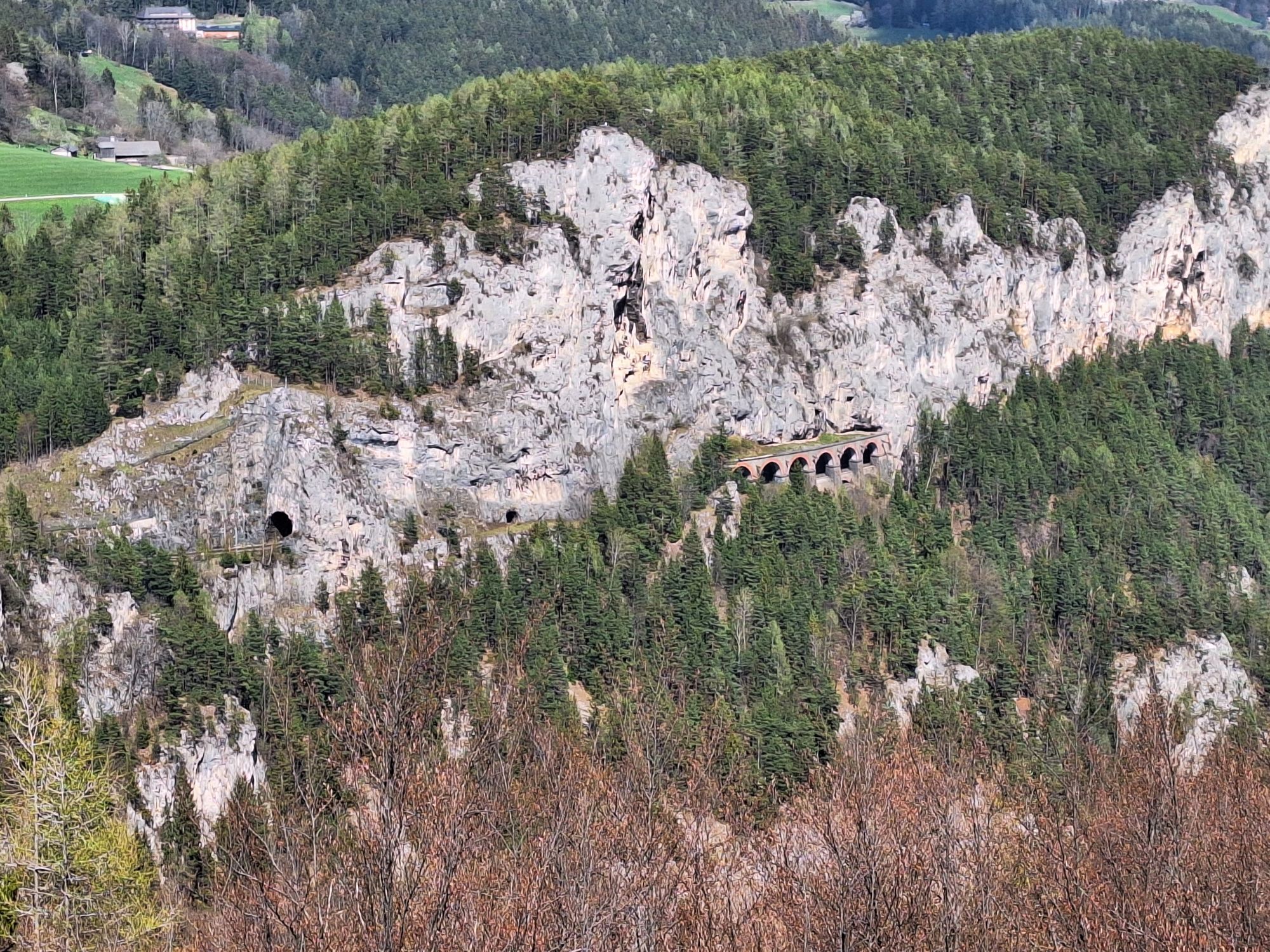
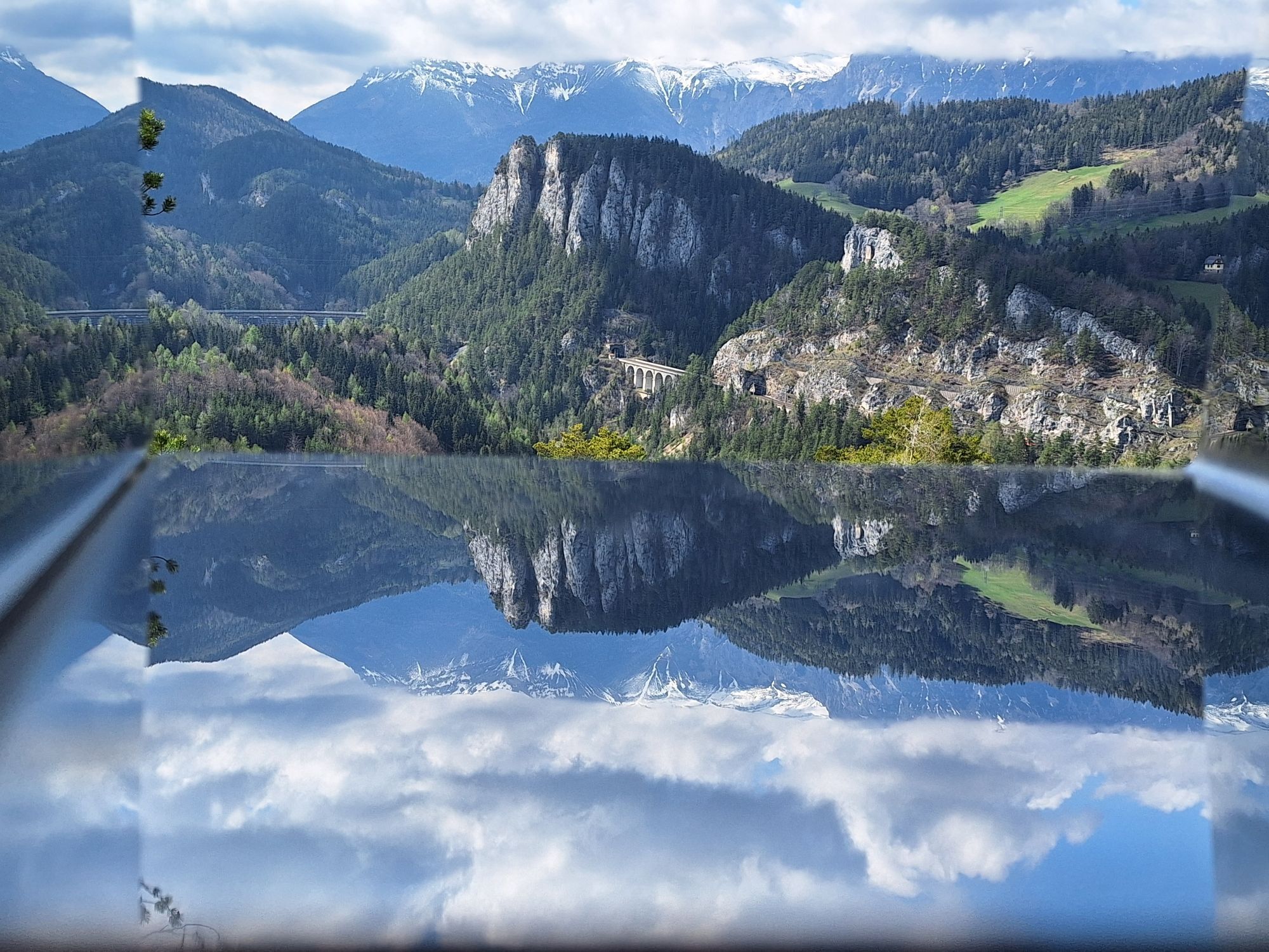
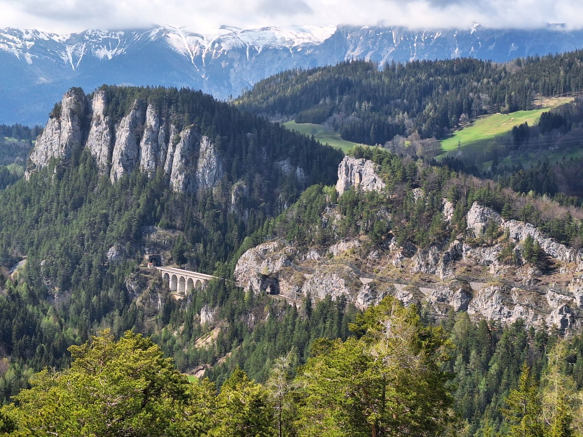
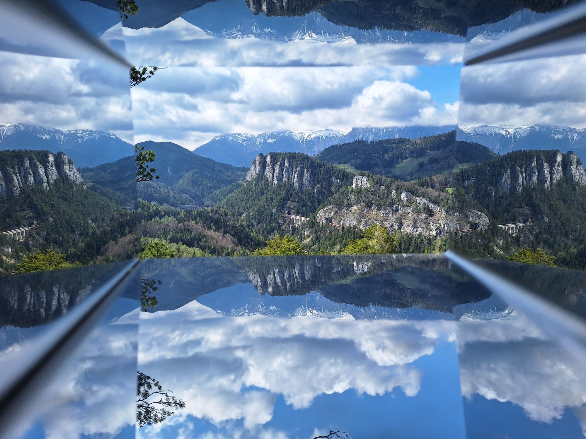
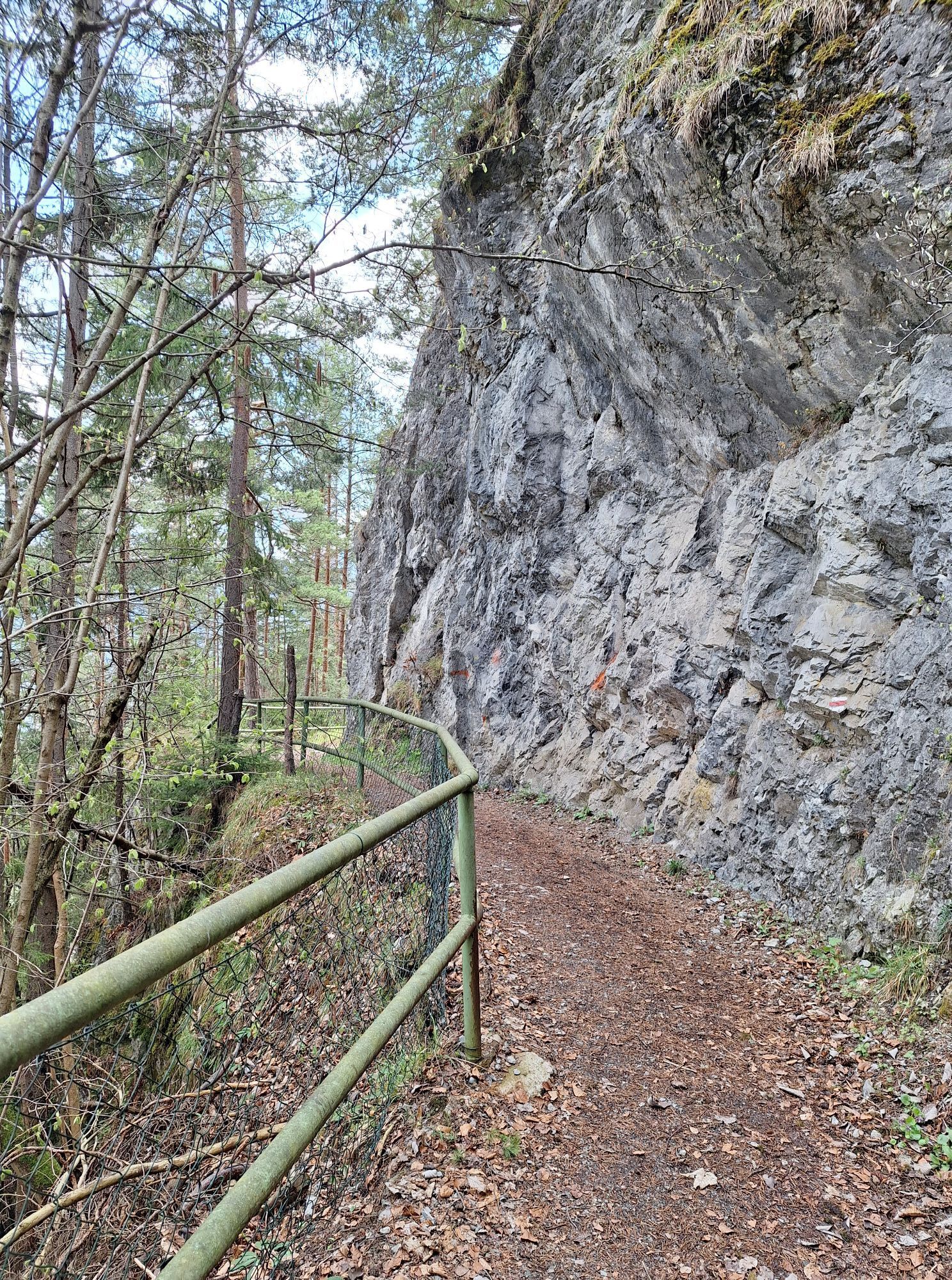
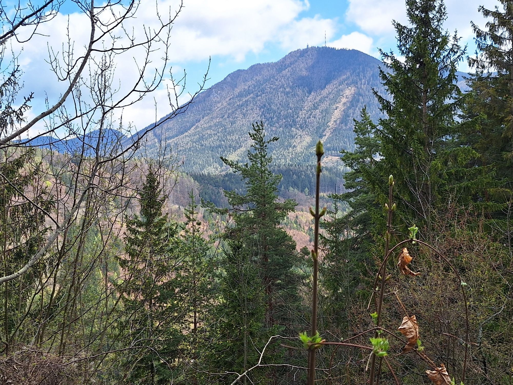
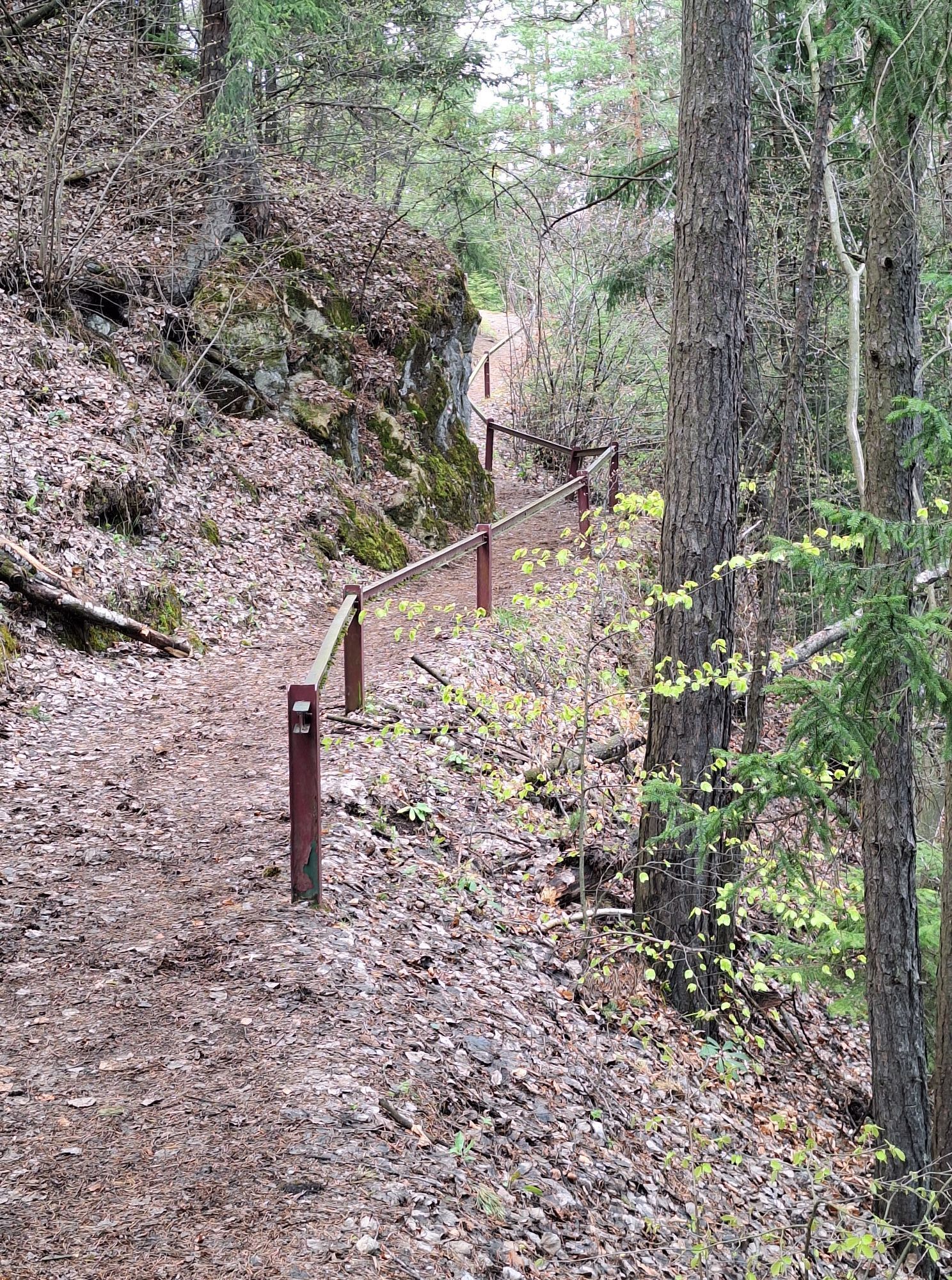
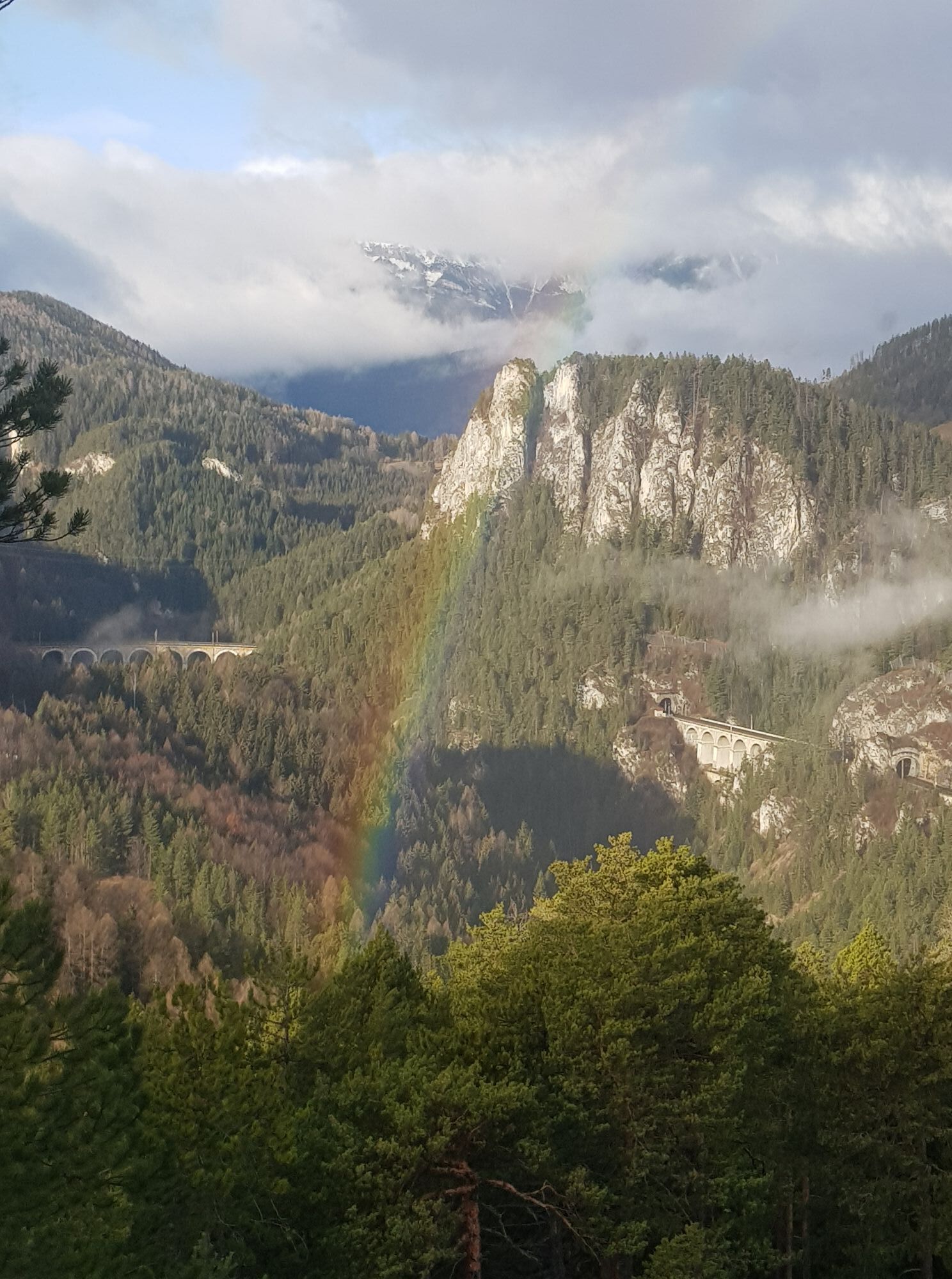
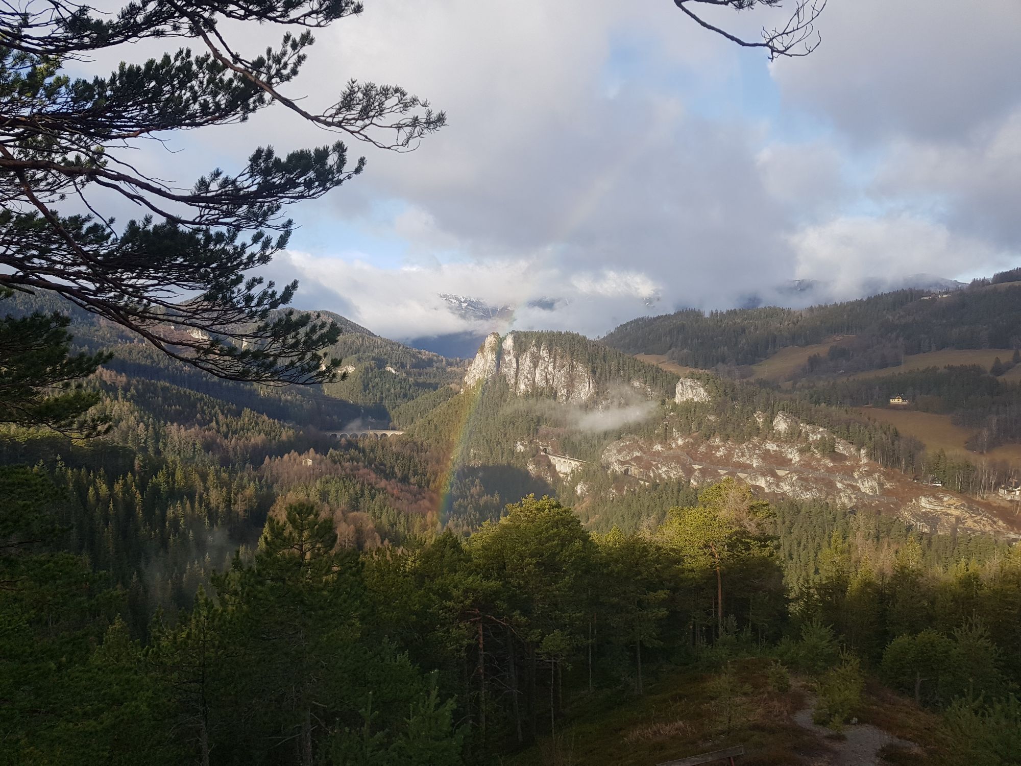
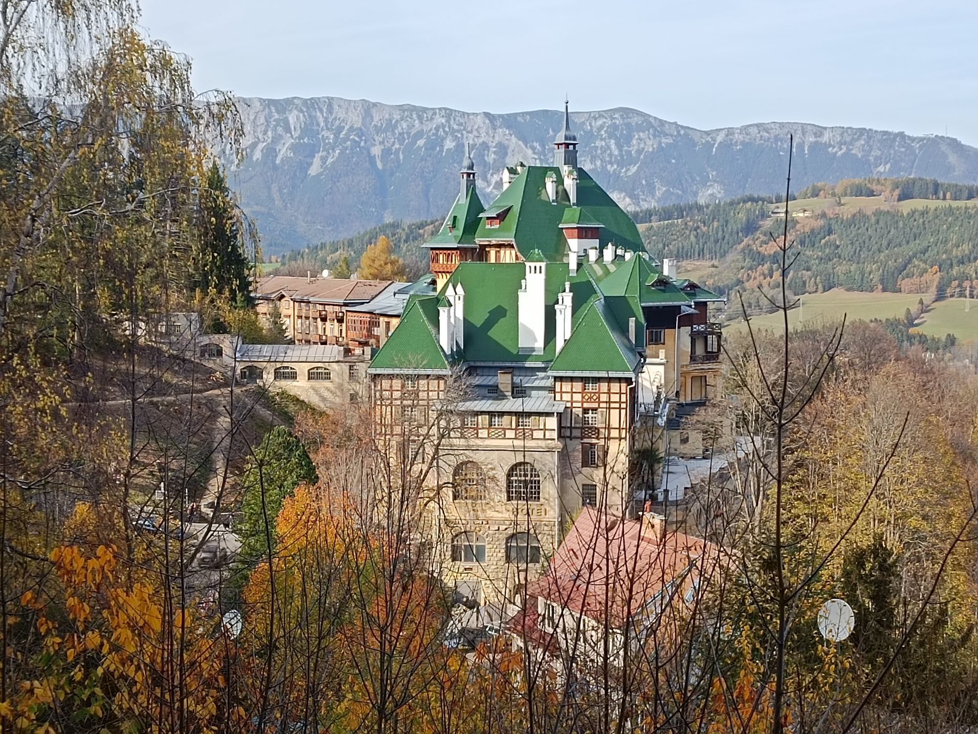
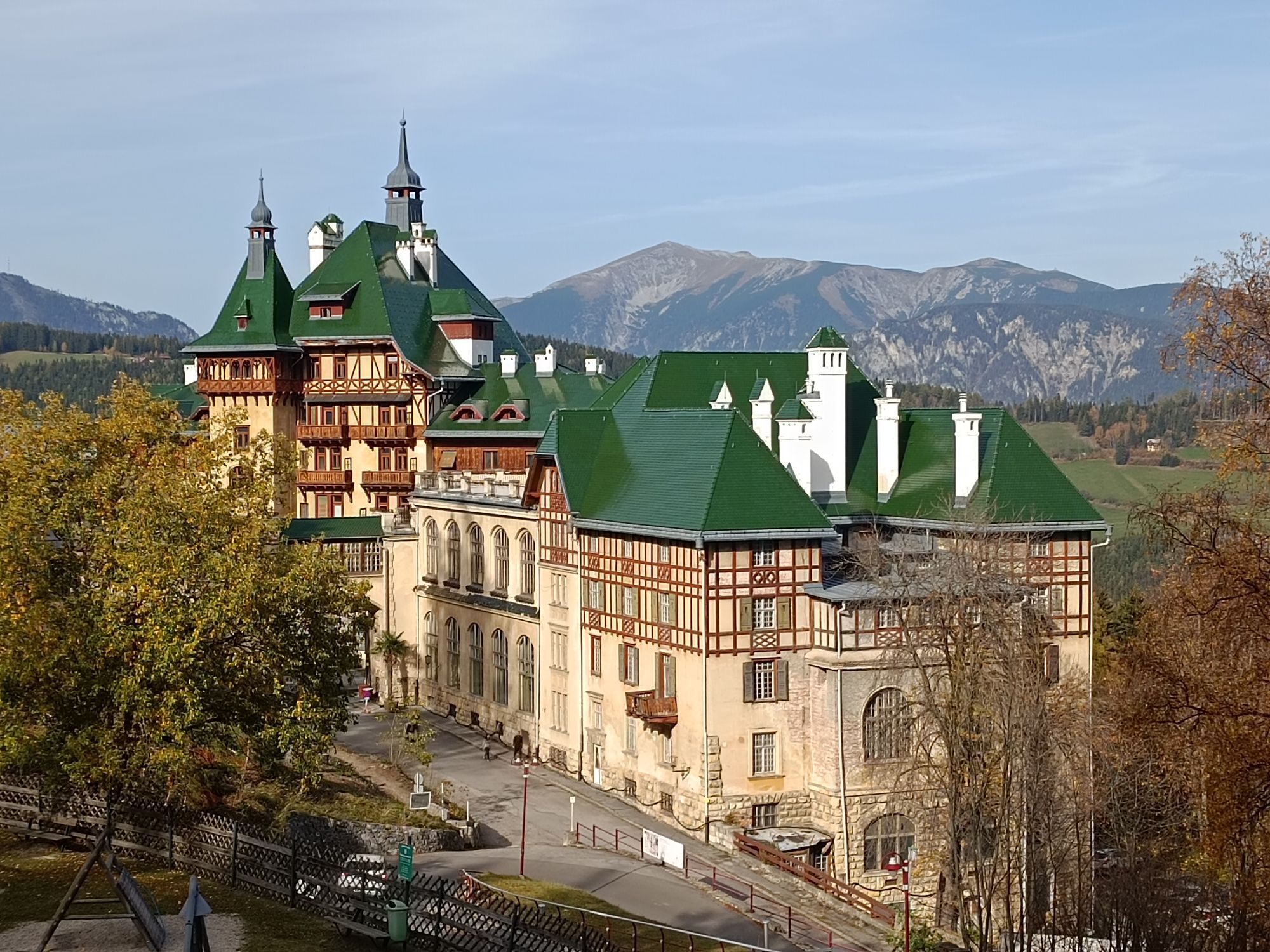
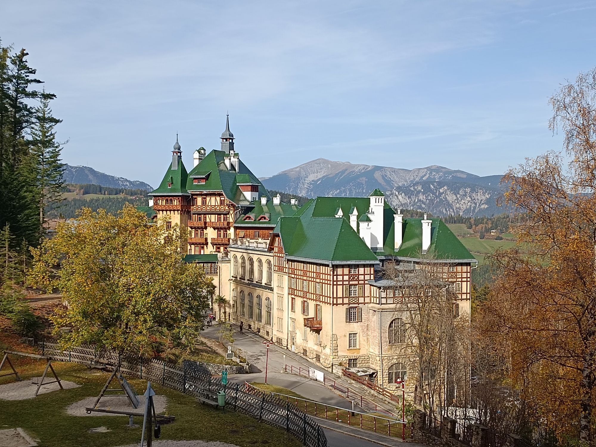
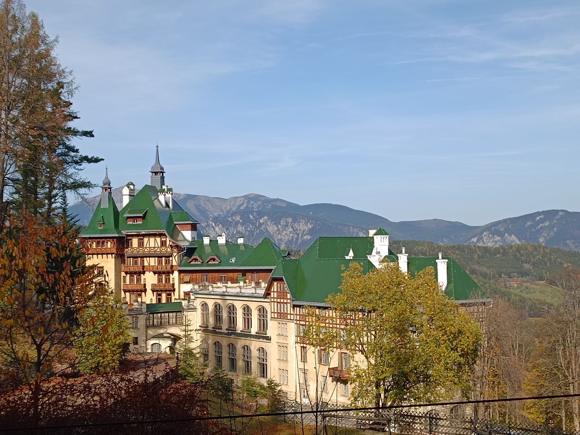
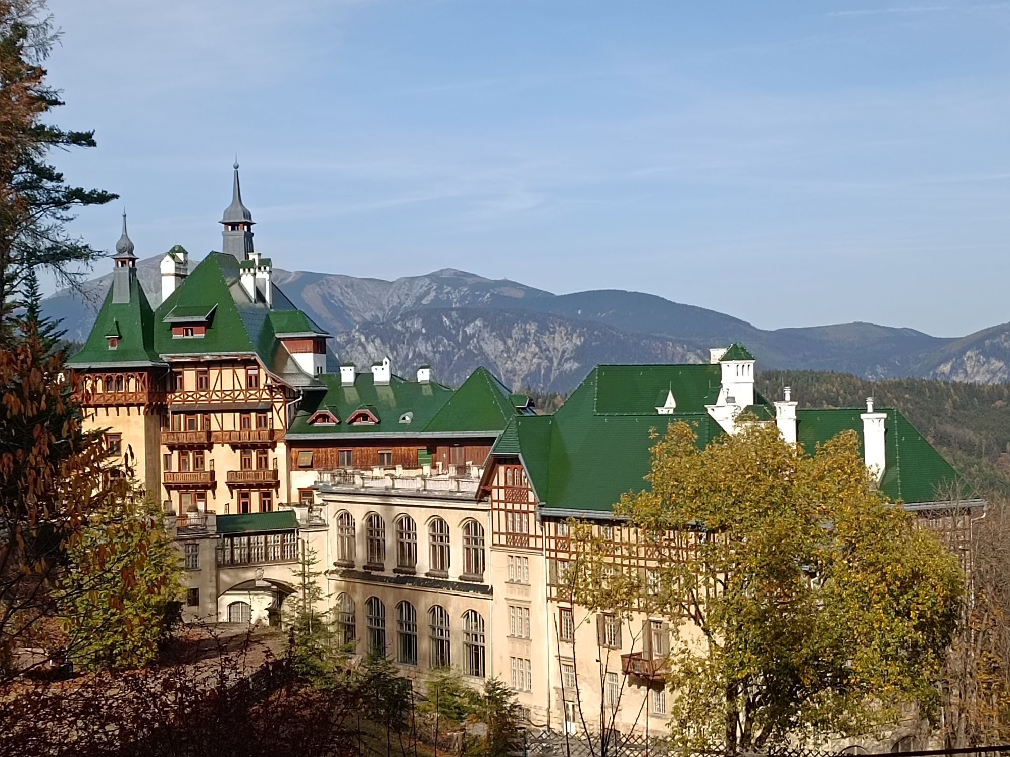
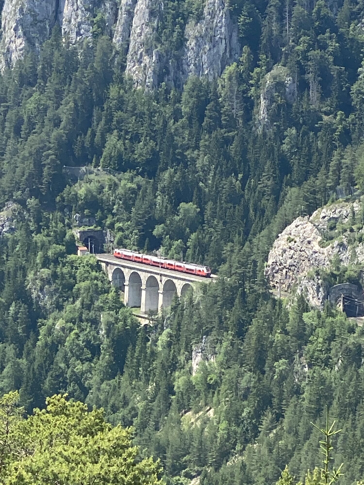
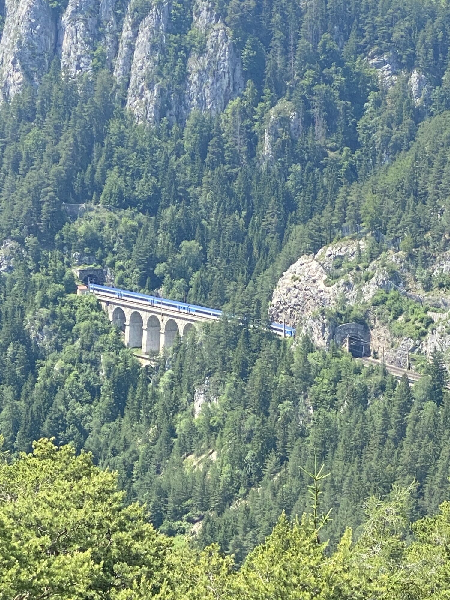
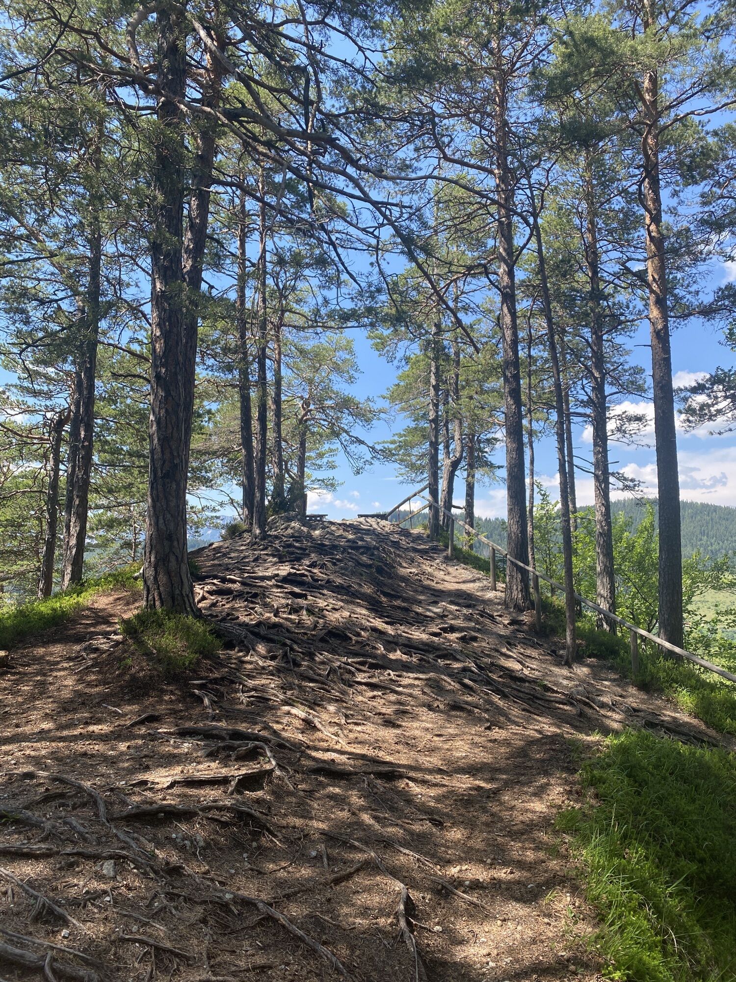
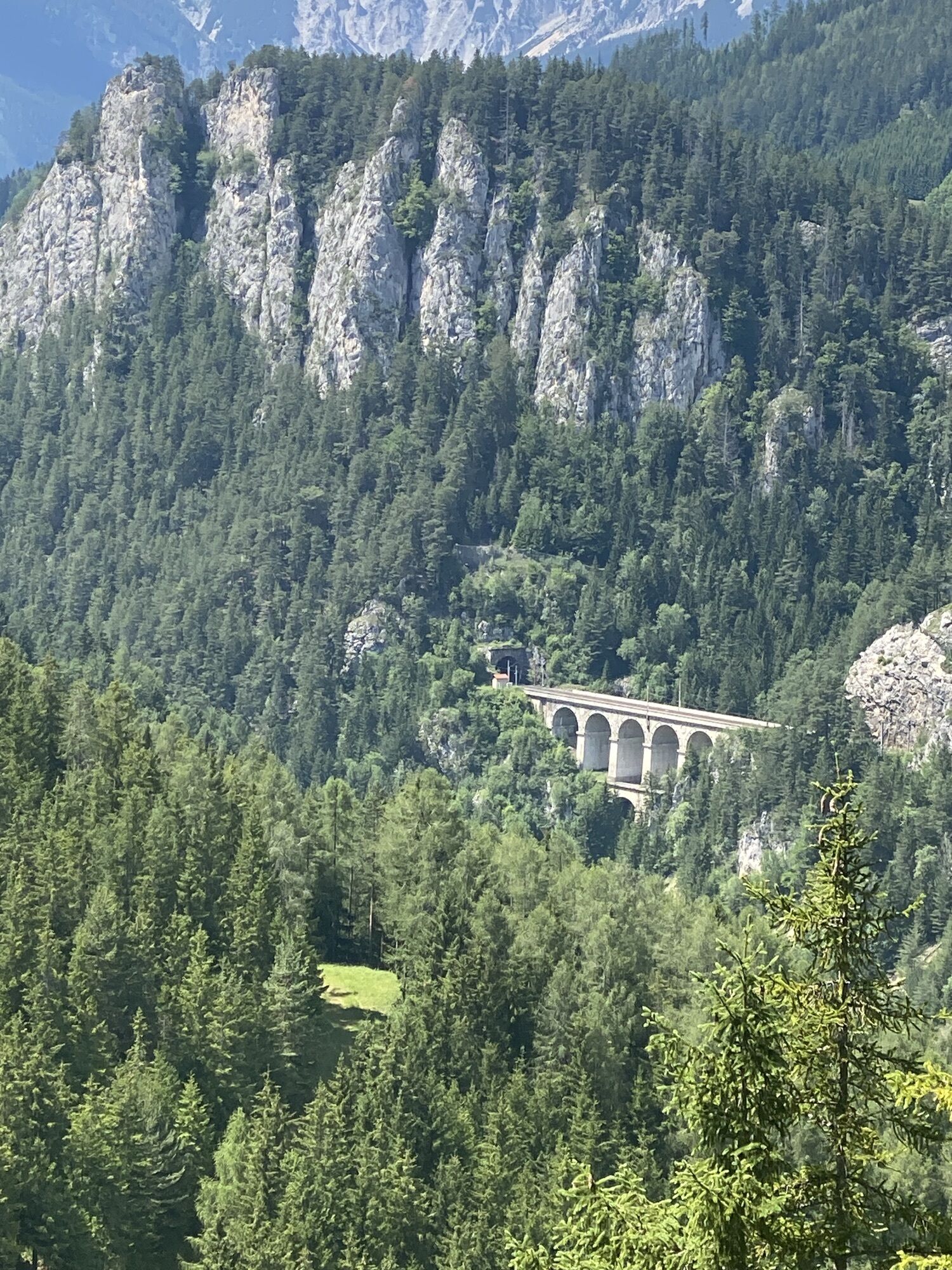
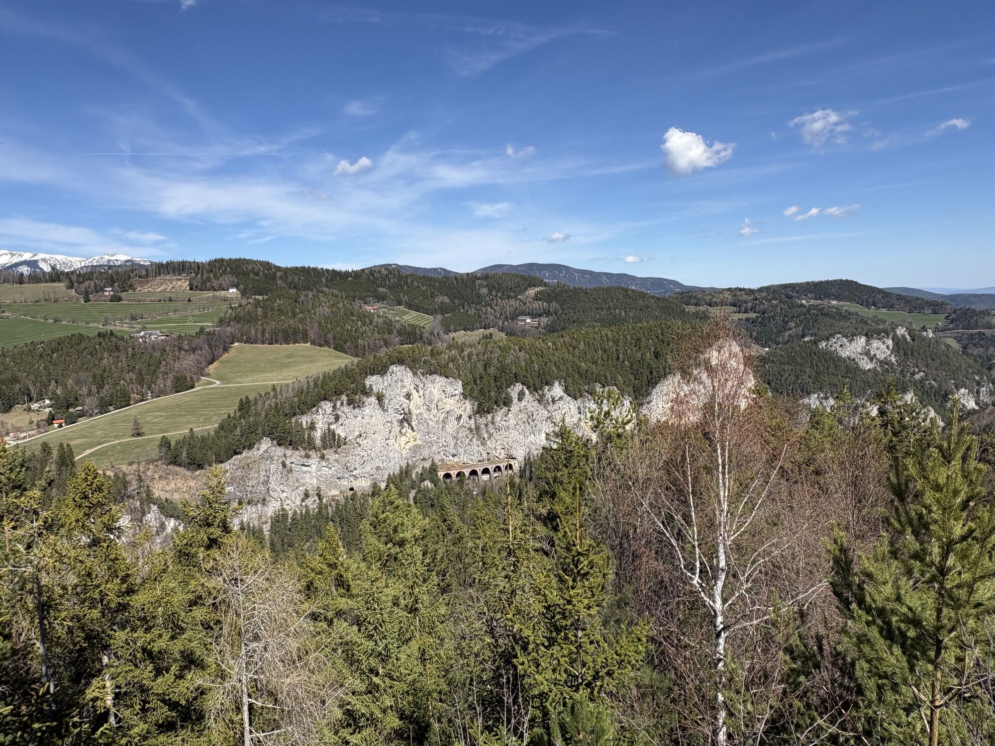
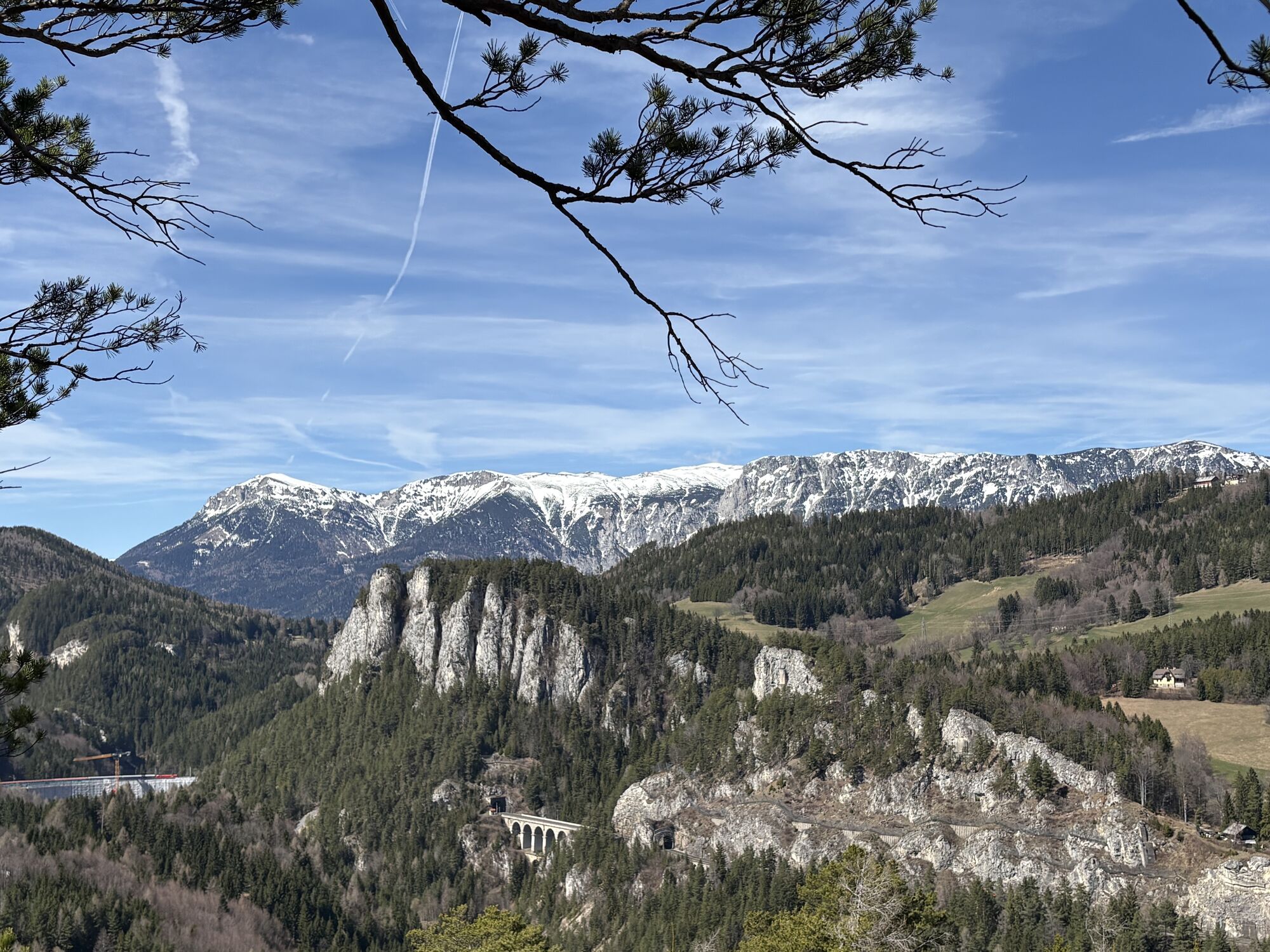
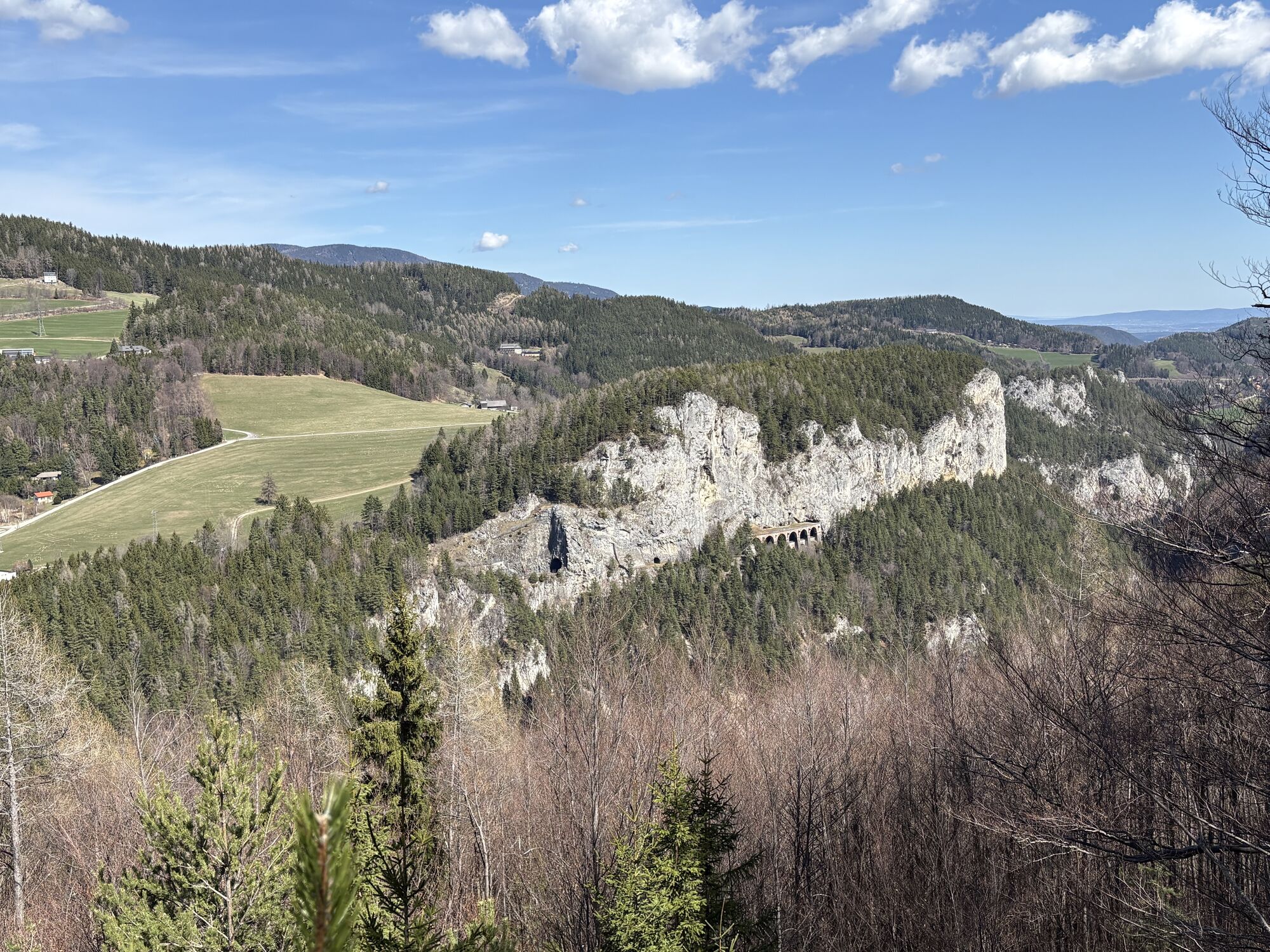
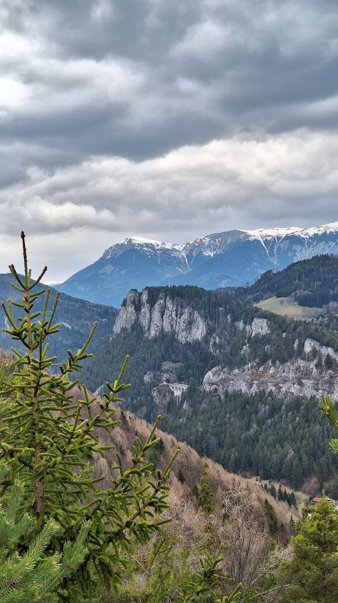
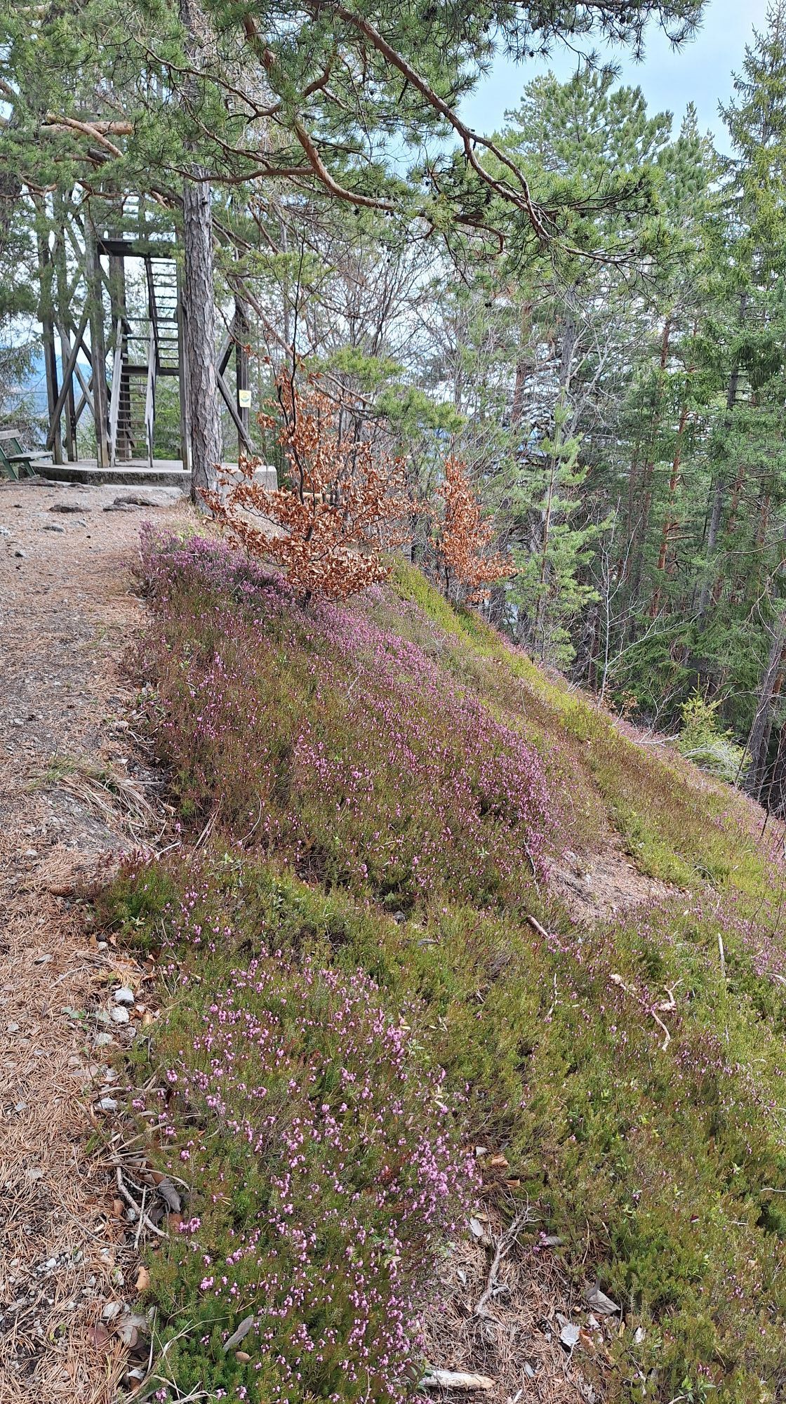
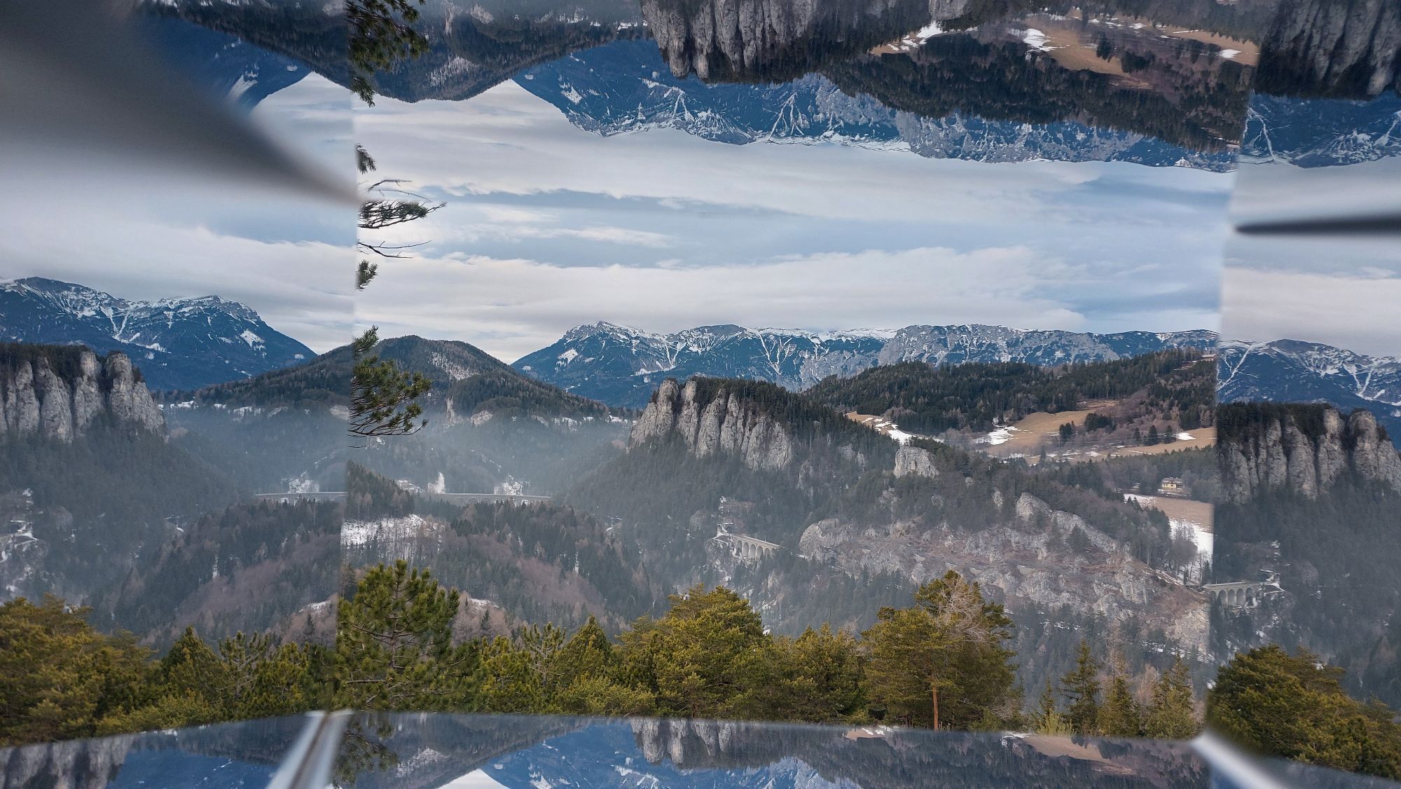
<p>From the top of the pass via the high road past Hotel Panhans to the Holy Family Parish Church and rectory. Downhill to the station and east along the track under the underpass to Wolfsbergkogel halt. Steeply uphill for a short way to the former sanatorium and the Double-ridge lookout tower and the "20 Schilling view". The view down onto Semmering Railway through the Adlitzgraben and the highest spurs of the Eastern Alps, Rax and Schneeberg, is very imposing. The path then passes through the forest above the entrance to the Wolfsbergkogel tunnel and on to the Fleischmann viaduct in Adlitzgraben. To the left the path runs uphill to the golf course and the Südbahnhotel. Continue straight on here to the top of the pass.</p>

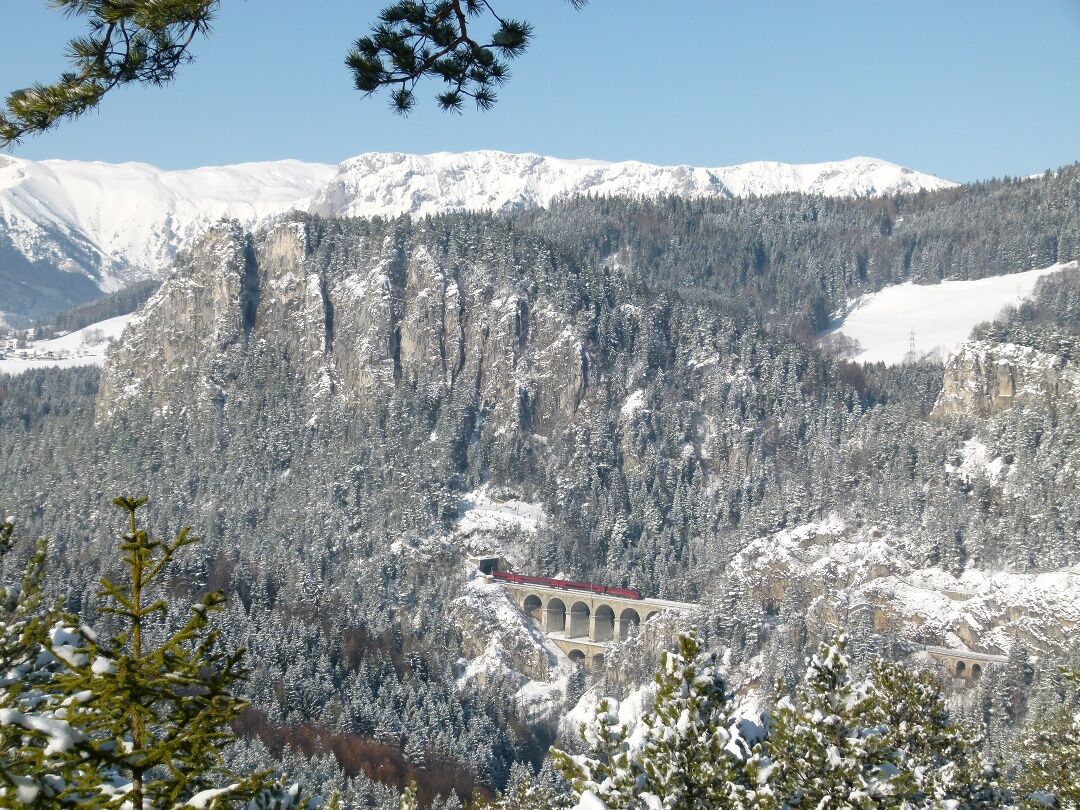
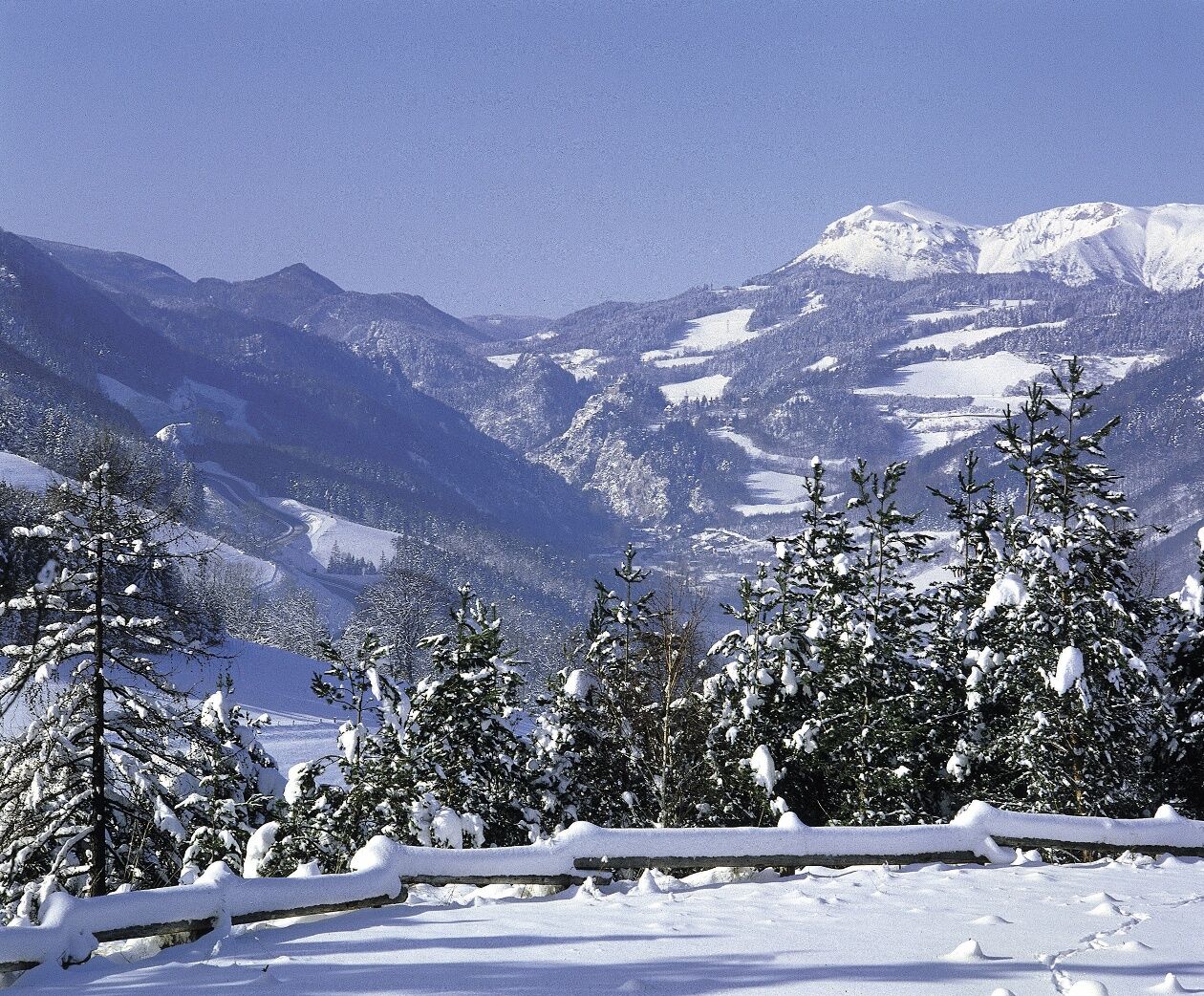

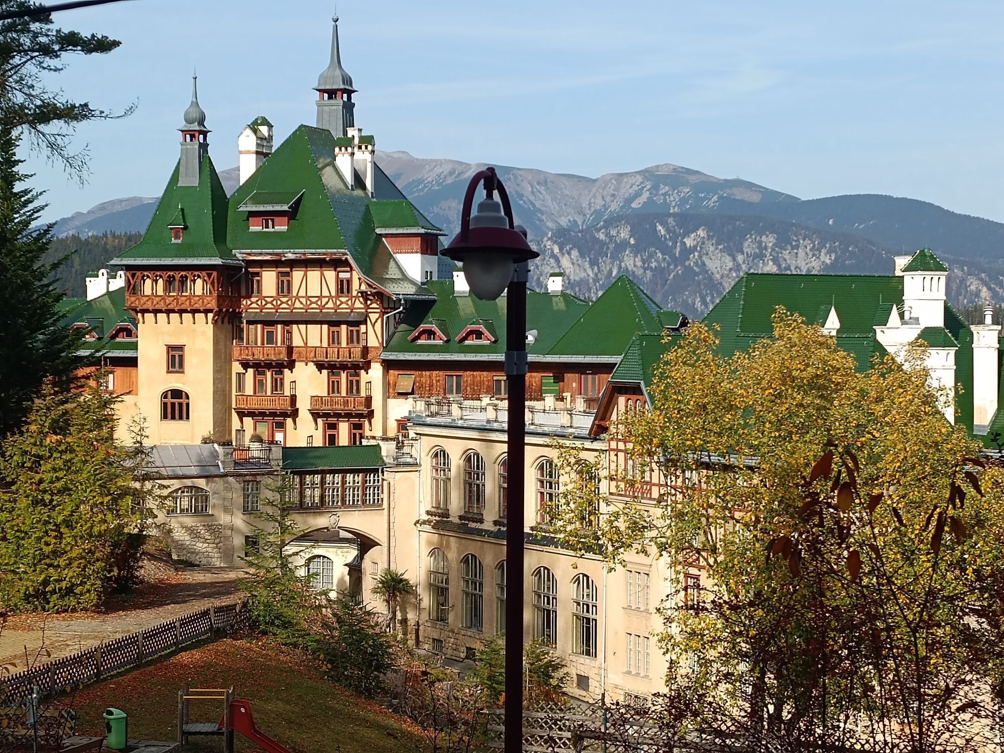
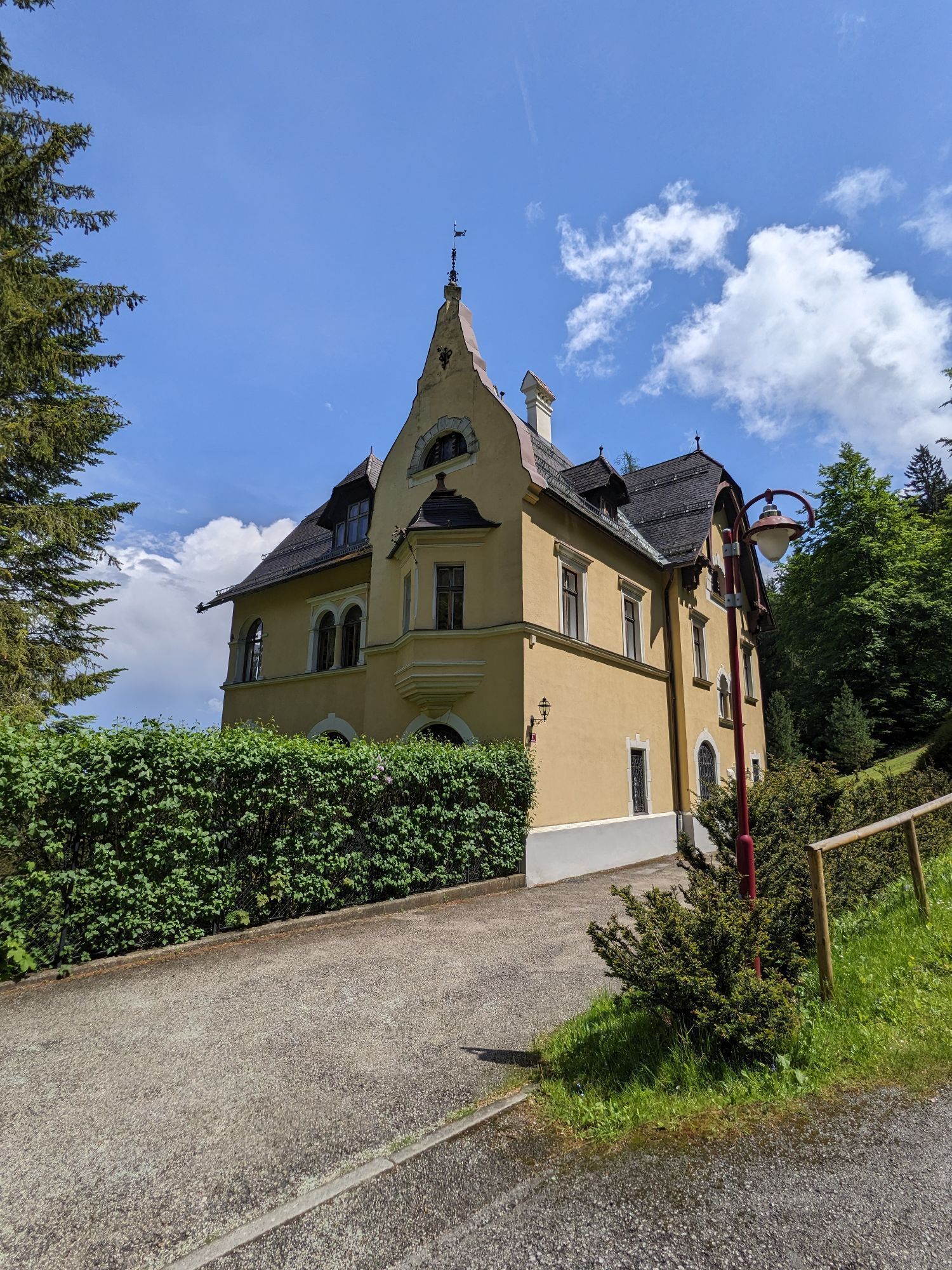
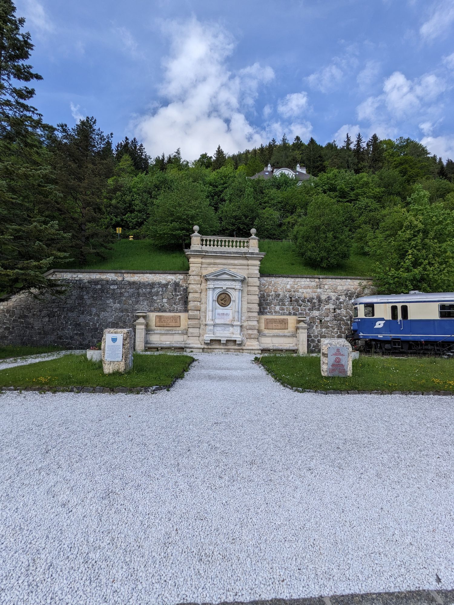
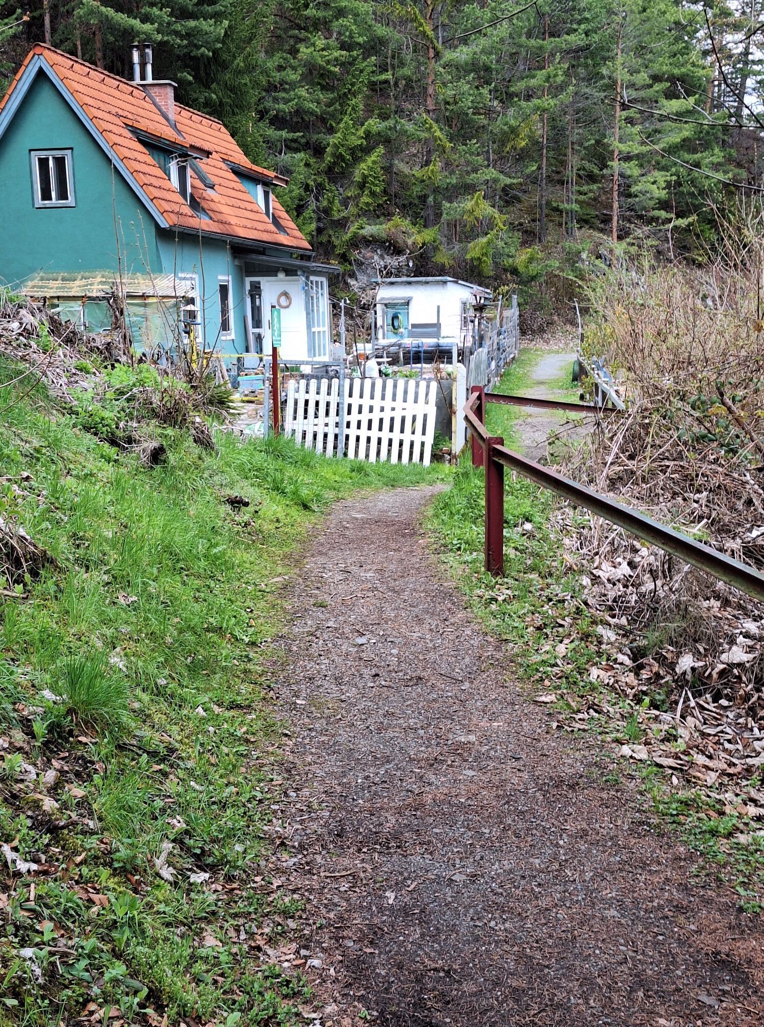
<p>Starting from the Semmering Passhöhe, walk along the Hochstraße to the Hotel Panhans and then on to the Parish Church of the Holy Family. Now go down to the Semmering train station. Here, a visit to the information center about the Semmering Railway World Heritage Site and the "Carl Ritter von Ghega" monument is recommended. Continue following the signs of the Lower Austrian Railway Hiking Trail to the viewpoints around the Wolfsbergkogel.</p><p>Now we turn left from the railway hiking trail and above the small football field the path takes us past the Semlitsch Sculpture Park. From here we go steeply uphill past Villa Leidenfrost, along Friedrich Schüler Street to the former Südbahn Hotel. Here we meet the Hochstraße. We walk past the Panorama Hotel Wagner back to the Parish Church and to the Passhöhe.</p>
<p>Always take suitable maps with you. Wear sturdy shoes appropriate to the route, bring sun and rain protection as well as water and a snack. Take your mobile phone and save the mountain rescue emergency number: 140</p>
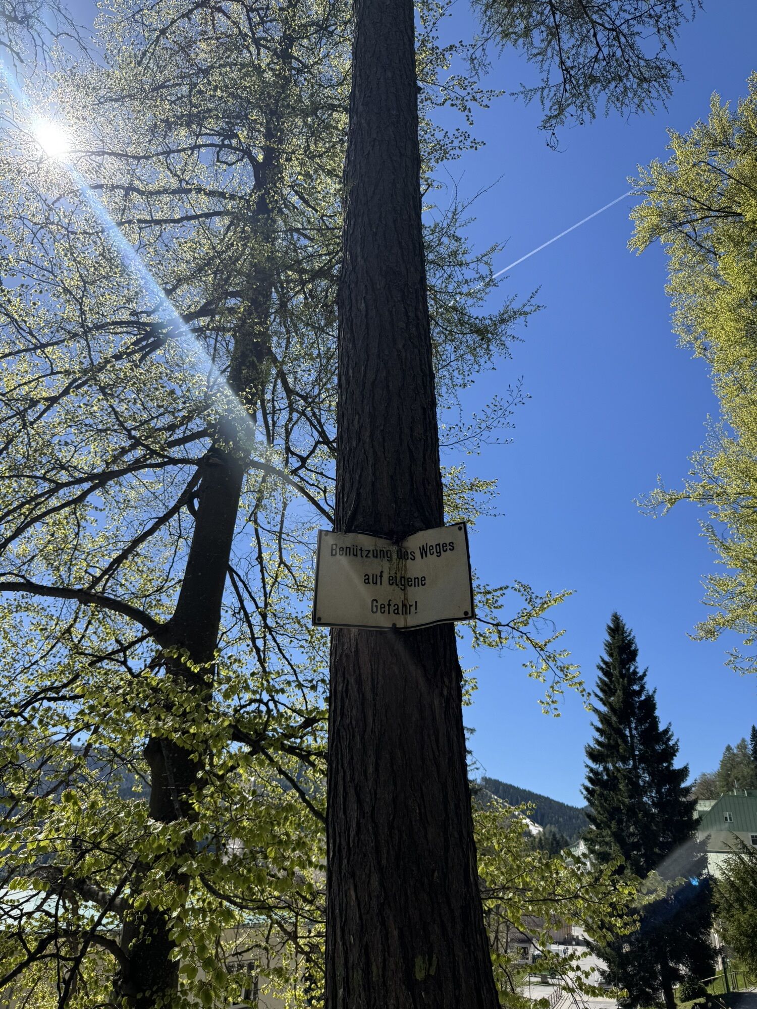
<p>Your hikes in the Vienna Alps should be a completely beautiful and safe experience.</p><p>Please therefore observe the following:</p><p>Make sure when choosing the route that it matches your mountain experience and your fitness. Check the weather forecast in advance. Weather in the mountains can change suddenly and quickly. Therefore, always set out properly equipped (appropriate footwear, rain protection). Check whether the huts and snack stations you want to visit are open. Inform someone about your route choice and your planned return before setting off. Stay on marked paths and avoid shortcuts. Due to dryness, meadows and forests are easily inflamed. Handle fire responsibly and report any possible fire to the fire brigade immediately. Do not litter the landscape and dispose of waste properly.</p><p><strong>Warning, this winter hiking trail may not be completely cleared in snowy conditions and may have slippery spots. Use is at your own risk! Also consider that in winter markings can be invisible due to snow, so prepare well for your tour!</strong></p><p>Pay attention to suitable equipment such as sturdy shoes, poles, waterproof outdoor clothing, headgear etc. Also drink enough water in winter! Watch for early dusk and plan tours especially carefully.</p><p>Mountain rescue emergency number 140</p><p>EU emergency number: 112</p><p><a href="www.lawinenwarndienst-niederoesterrei... information</a></p><p><a href="www.wieneralpen.at/sei-gut-drauf-komm... in the mountains</a></p>
<p>From <strong>Vienna</strong> take the A2 South motorway to the S6 Semmering expressway and take the Maria Schutz exit. Turn right onto L4168. Continue on Semmering/L4168, Semmeringstraße and Passstraße to take B306.</p><p>From <strong>Graz</strong> take the S6 Semmering expressway and take the Spital/Semmering exit. Turn left onto Semmering Ersatz Str./B306. Continue on B306</p><p>km</p>
<p>Travel by train to Semmering train station, where the hike can also begin. </p><p>Alternatively, you can individually book a ride with the <a href="www.semmering-rax.com/rufbus">... Semmering-Rax</a>, which will take you to the hiking start point. </p><p><strong>RUFBus stops: </strong></p><p>Semmering Passhöhe (113)</p><p>20 Schilling View hiking start (106)</p><p>Wolfsbergkogel train station (108)</p><p>Semmering train station (109)</p><p>Hochstraße Löffler (112)</p><p>TIP: Simply use the Postbus Shuttle app or call the hotline +43 660 900 88 22.</p><p>More information at <a href="fahrplan.oebb.at/webapp/ and <a href="www.vor.at/">www.vor.at</a...
<p>Public parking spaces are available at Semmering Passhöhe.</p>
Further information:
Vienna Alps in Lower Austria, www.wieneralpen.at, +43 / 2622 / 78960
Tourist office Semmering, www.semmering.at, +43 / 2664 / 20025
Admire historic villas along the Hochstraße 20-Schilling ViewDoppelreiter observation towerHochstraße museum


 Uzyskaj wgląd
Zawsze na żywo z ponad 9 500 kamer internetowych. bergfex Jako użytkownik Pro, możesz teraz zobaczyć odpowiednie kamery internetowe dla wielu wycieczek w aplikacji wycieczki od. Pozwala to na bezpośredni podgląd aktualnych warunków.
Uzyskaj wgląd
Zawsze na żywo z ponad 9 500 kamer internetowych. bergfex Jako użytkownik Pro, możesz teraz zobaczyć odpowiednie kamery internetowe dla wielu wycieczek w aplikacji wycieczki od. Pozwala to na bezpośredni podgląd aktualnych warunków.
Aktywności na trasie
-

Semmering, Niederösterreich/Österreich
13.06.2026 – Wędrówka -

Semmering - Kurort, Niederösterreich/Österreich
22.05.2026 – Wędrówka -

Semmering, Niederösterreich/Österreich
17.05.2026 – Wędrówka -

Semmering, Niederösterreich/Österreich
08.03.2026 – Wycieczka wysokogórska -

Spital am Semmering, Steiermark/Österreich
28.02.2026 – Przechadzka -

Semmering, Niederösterreich/Österreich
22.02.2026 – Wędrówka -
Spital am Semmering, Steiermark/Österreich
10.01.2026 – Wędrówka -
Semmering, Niederösterreich/Österreich
04.10.2025 – Wędrówka
Popularne wycieczki w okolicy
-
4,6
Losenheim: Edelweißhütte - Fadensteig - Fischerhütte
średniWędrówka 11,5 km -
4,7
Zahnradbahn und Wandern am Schneeberg - Plateauwanderung
średniWędrówka 6,90 km -
4,8
Cultural walk Payerbach-Reichenau
światłoWędrówka 7,43 km -
4,8
Rax - Heukuppe
Wędrówka 15,6 km -
3,7
Schwaigen Rundwanderung
światłoWędrówka 8,24 km -
5,0
"Weichtalklamm" über Stock und Stein durch das Höllental - Weichtalhaus - Kientallerhütte 1340m
średniWędrówka 14,0 km -
5,0
Insider tip: Schneeberg via the Novembergrat
ciężkiWędrówka 13,5 km -
4,9
"Über den höchsten Nieder-Ösi" - Schneeberg - Weichtalklamm - Klosterwappen - Stadlwandleiten
średniWędrówka 17,7 km -
4,9
Reißtalersteig und Gretchensteig
ciężkiWędrówka 8,10 km -
4,9
Schneeberggebiet: Ein Stückchen am Wasserleitungsweg im Höllental
światłoWędrówka 2,64 km
Wędrówki i tropienie


Nie przegap ofert i inspiracji na następne wakacje
Twój adres e-mail została dodana do listy mailingowej.





