


"Pure Solitude" from Laaben to Breitenfurt

Tip/Fun Fact: "Pure Solitude" is the motto of this hike. Enjoy the silence and seclusion as a counterbalance to everyday hustle and bustle.

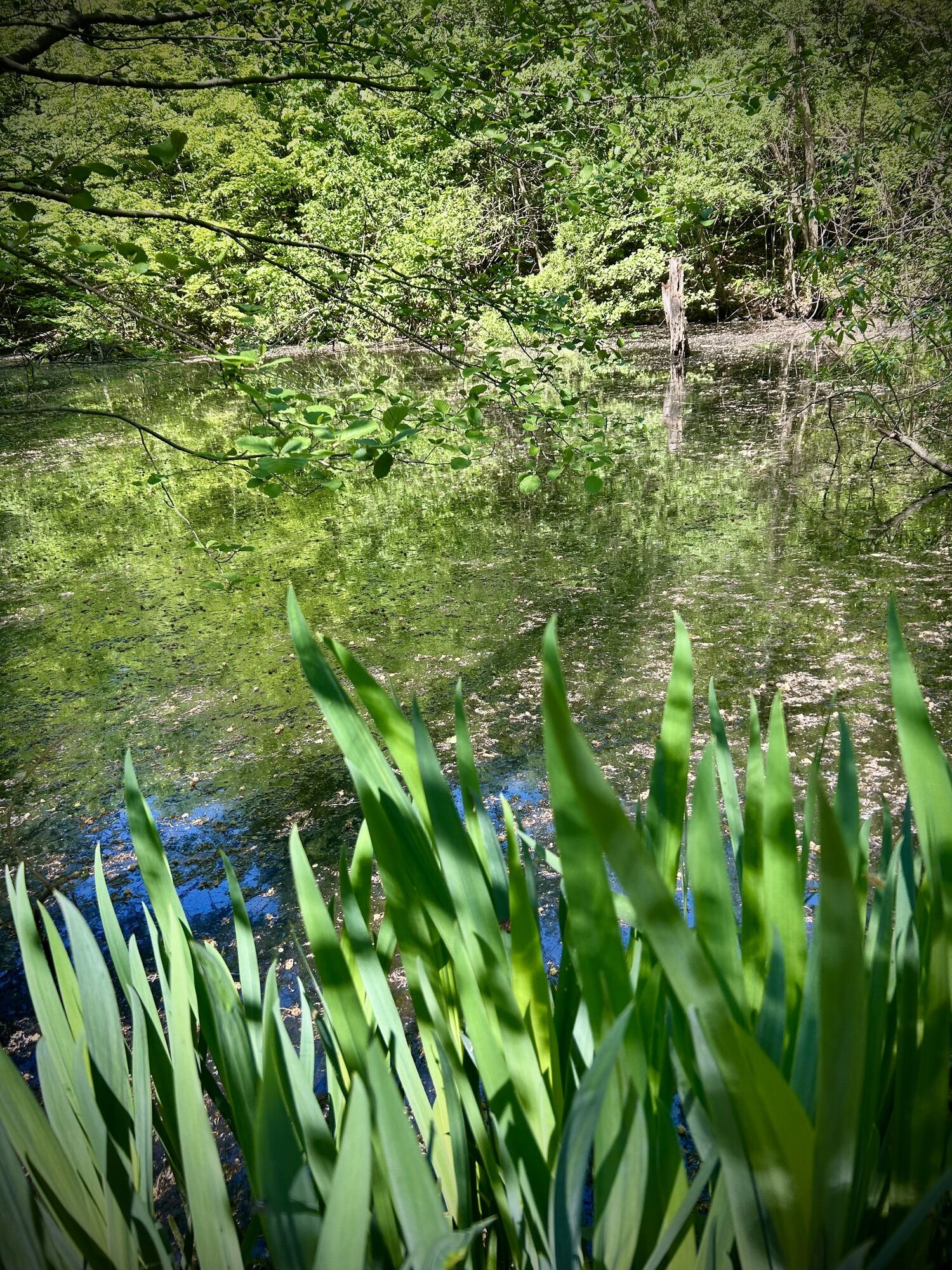
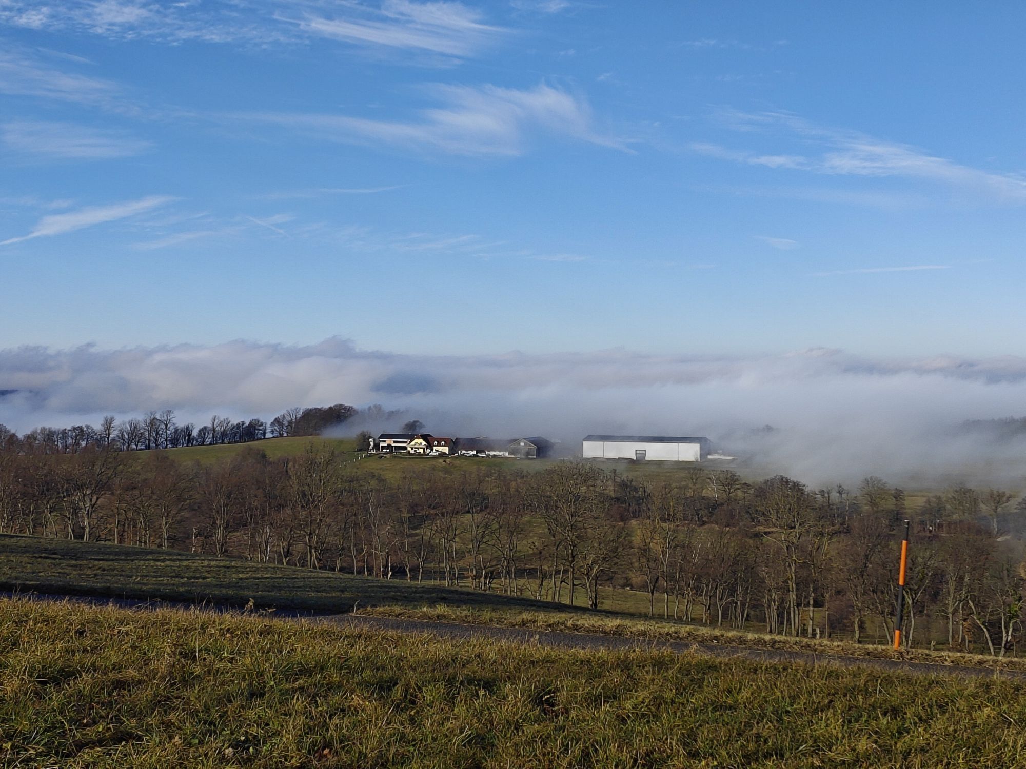
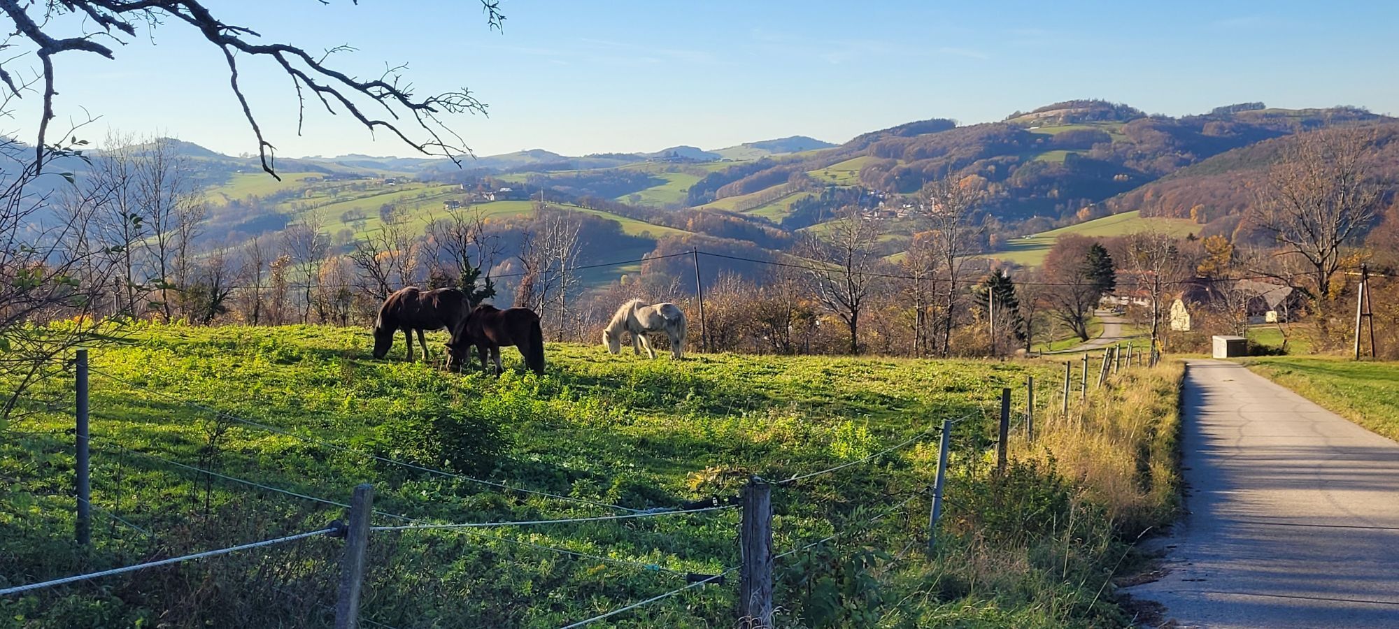
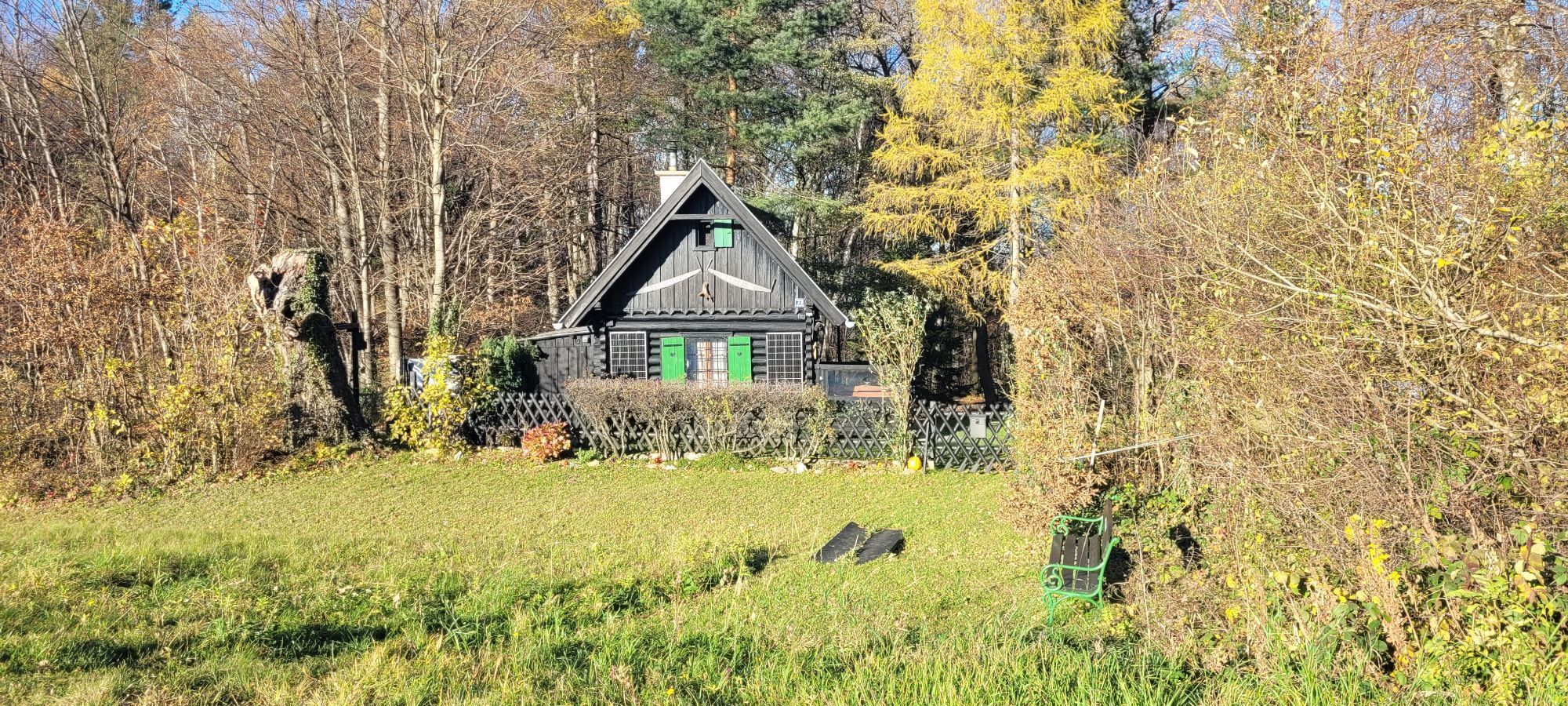
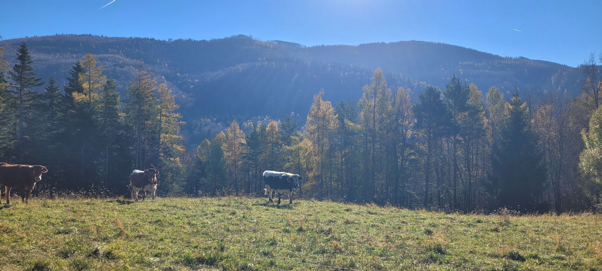
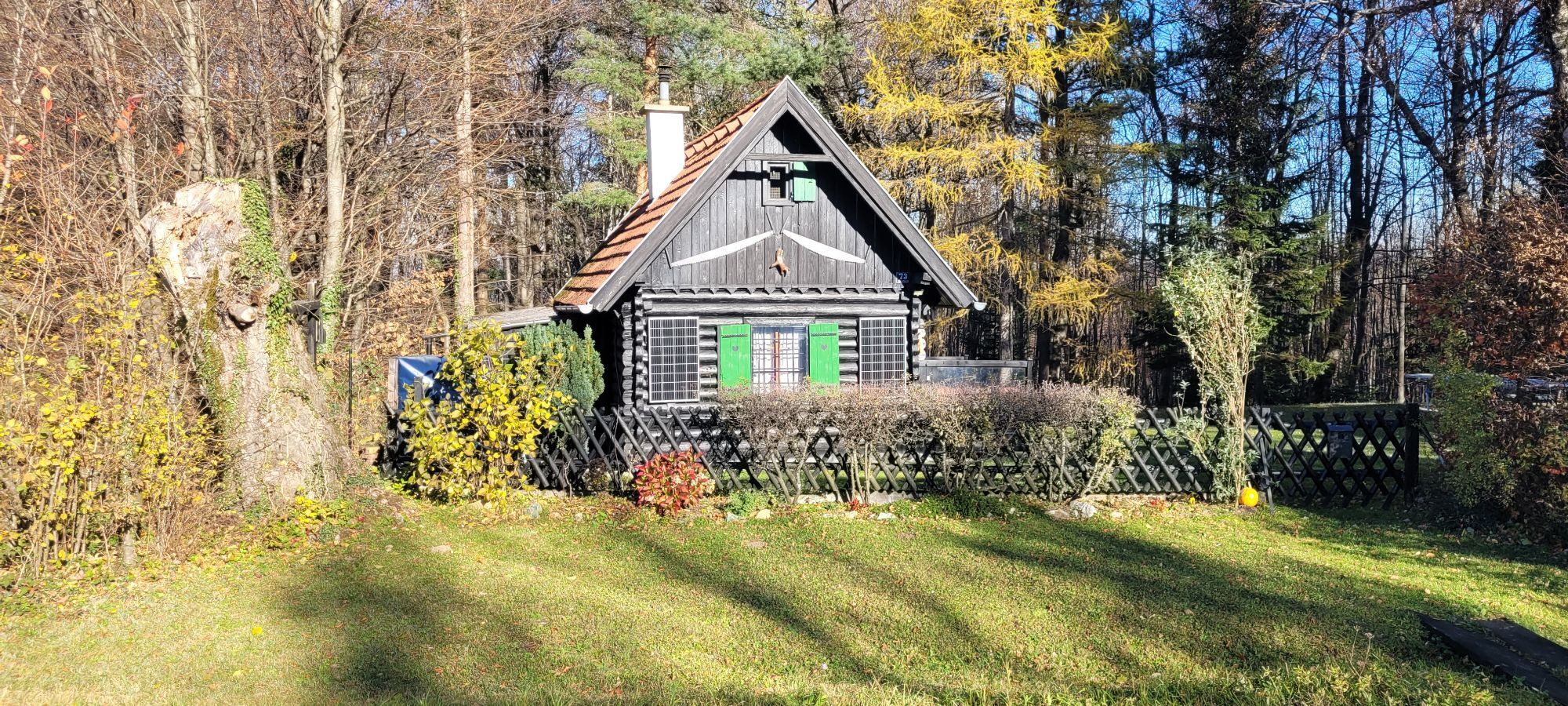
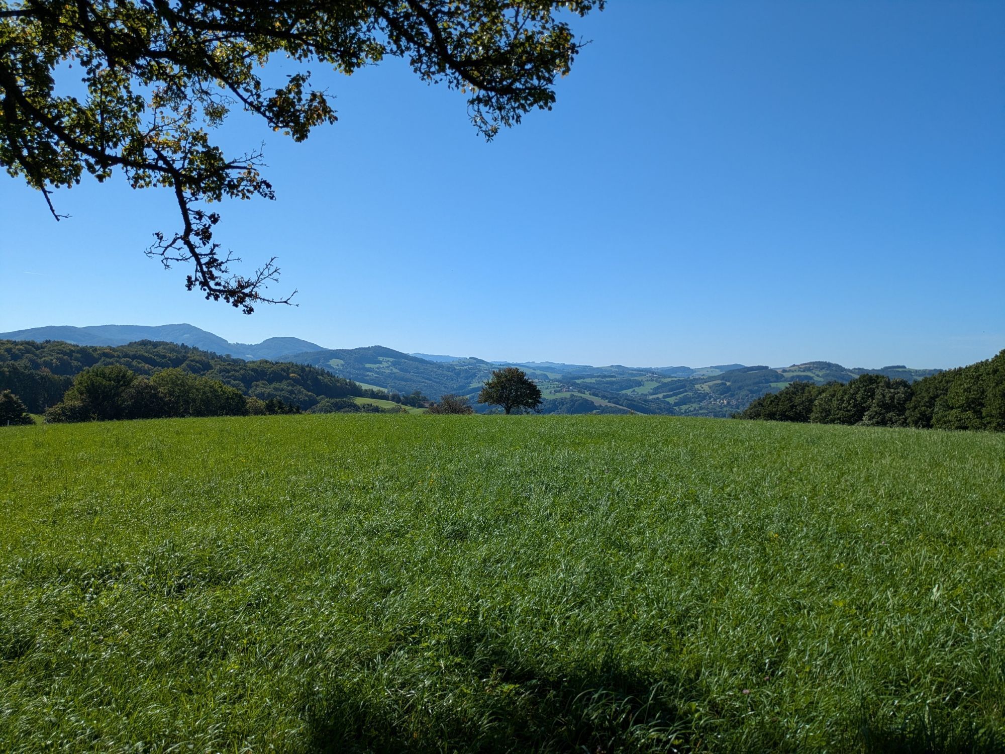
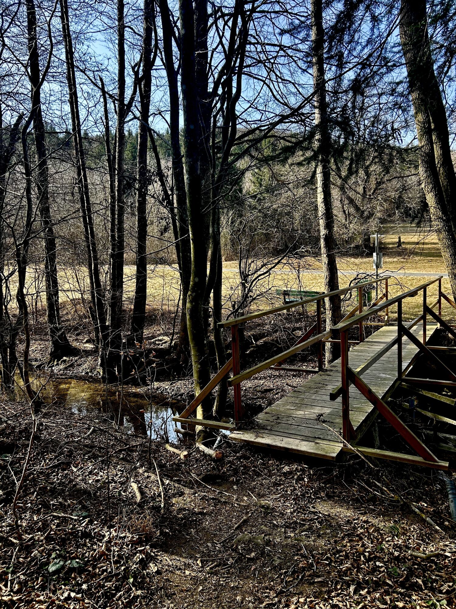
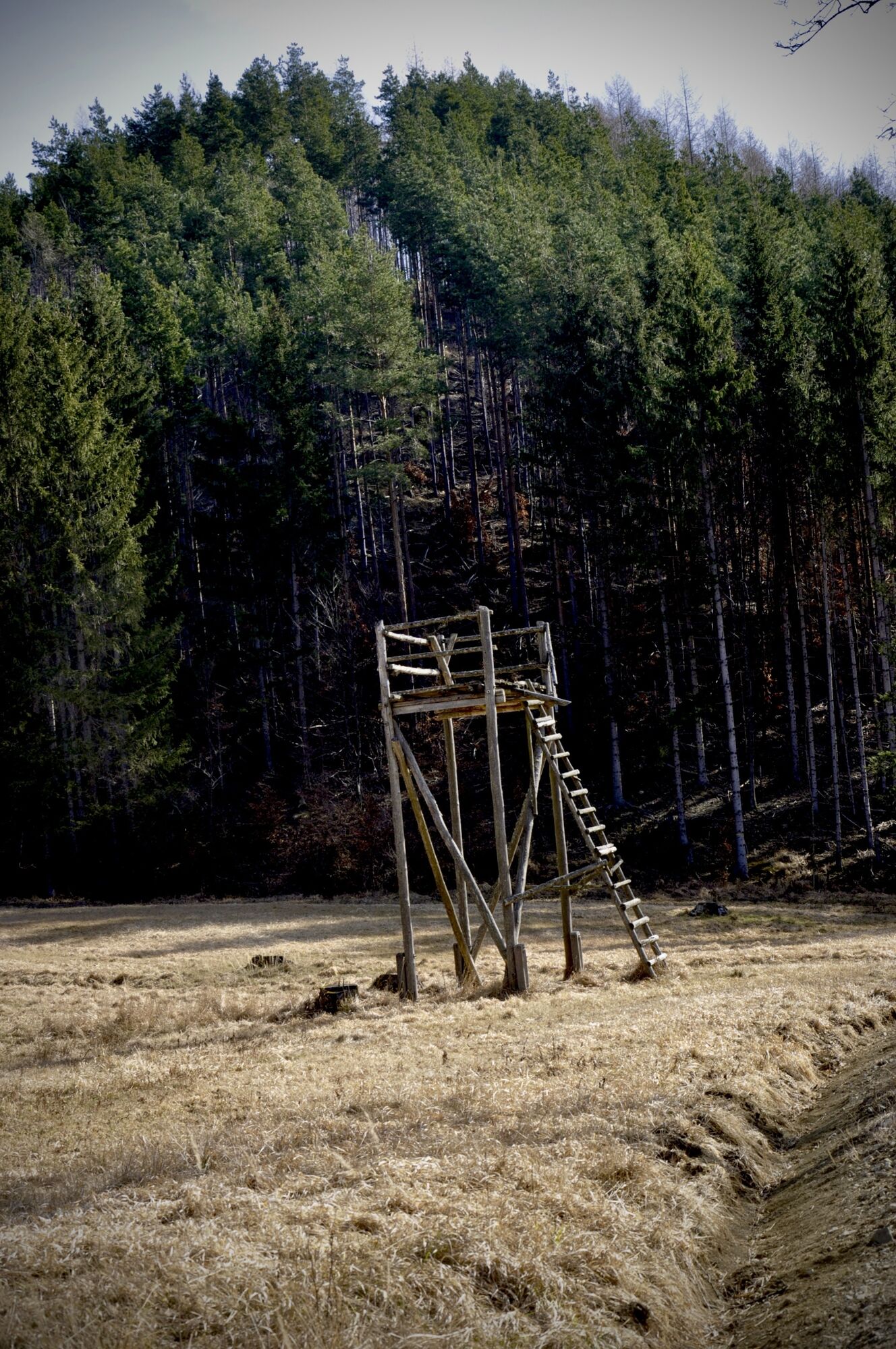
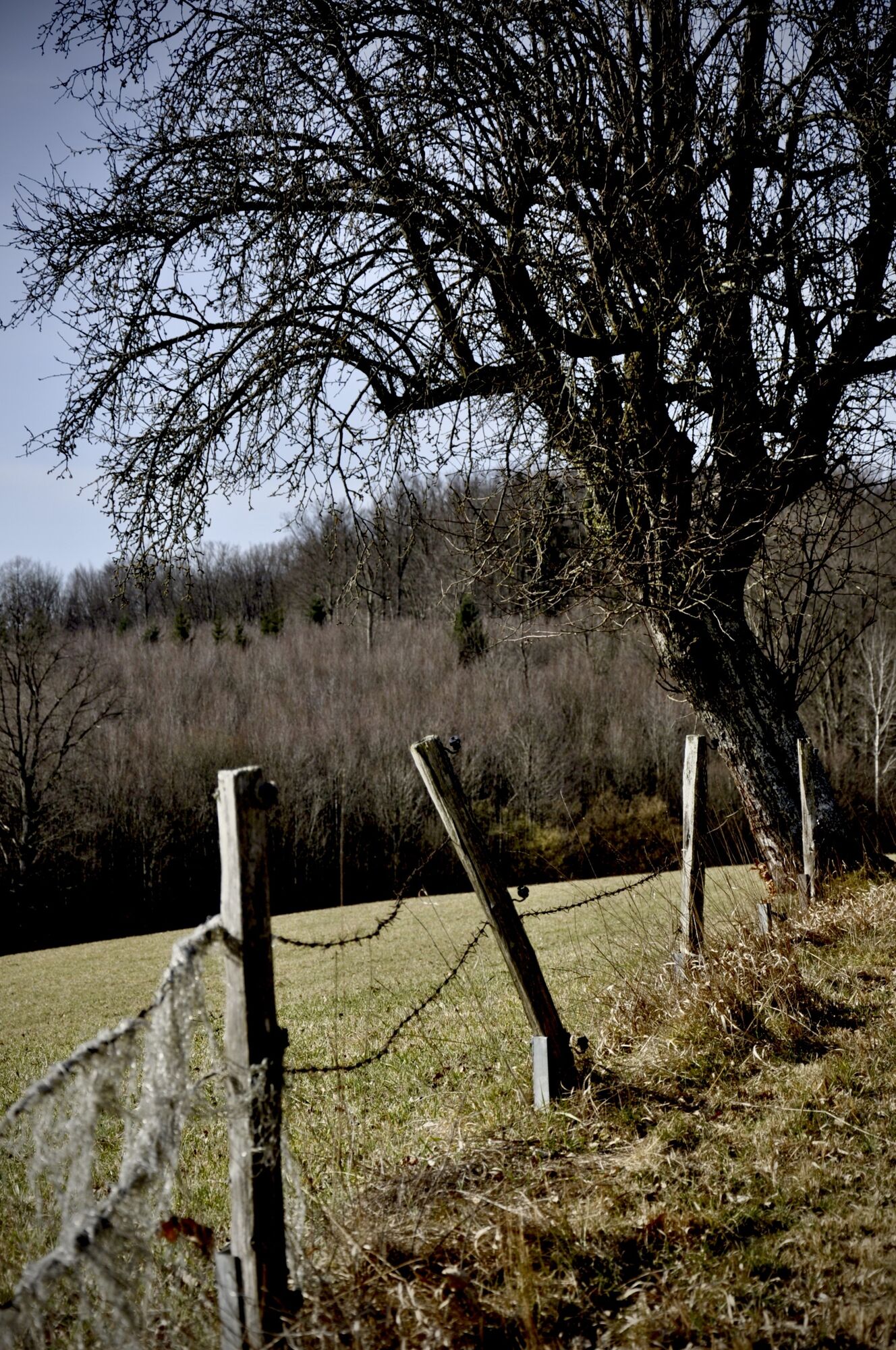
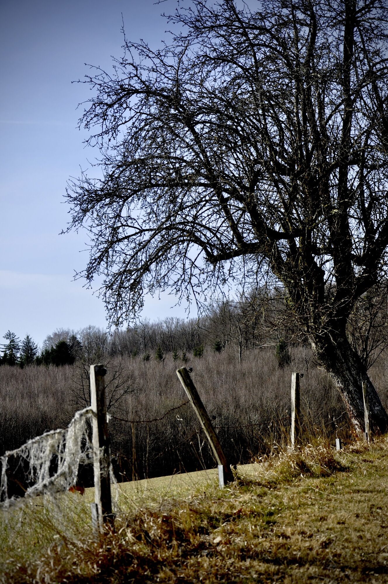
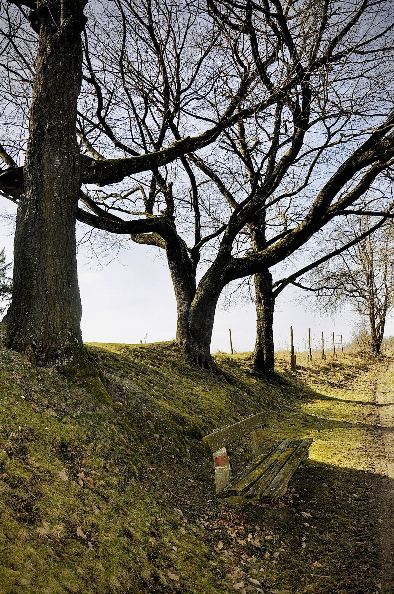
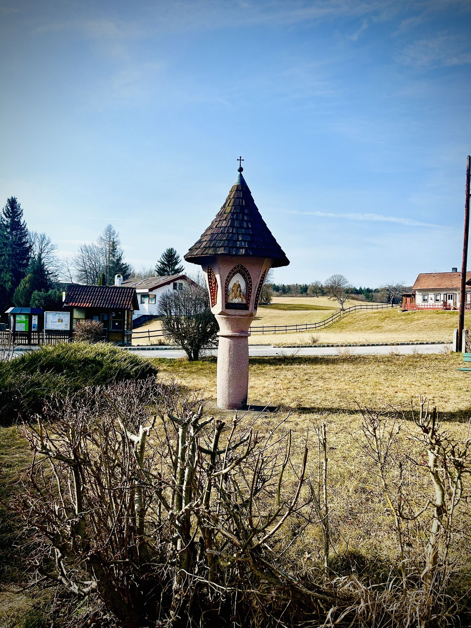
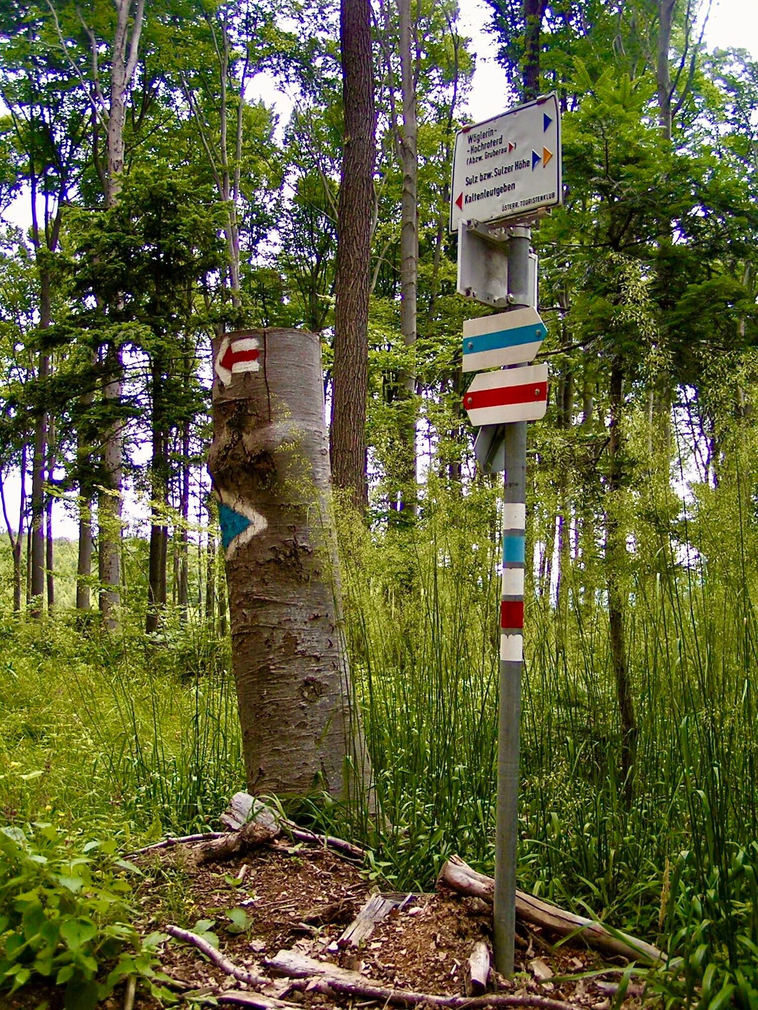
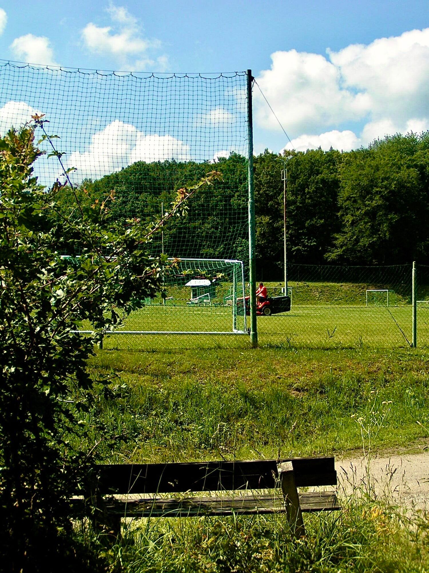
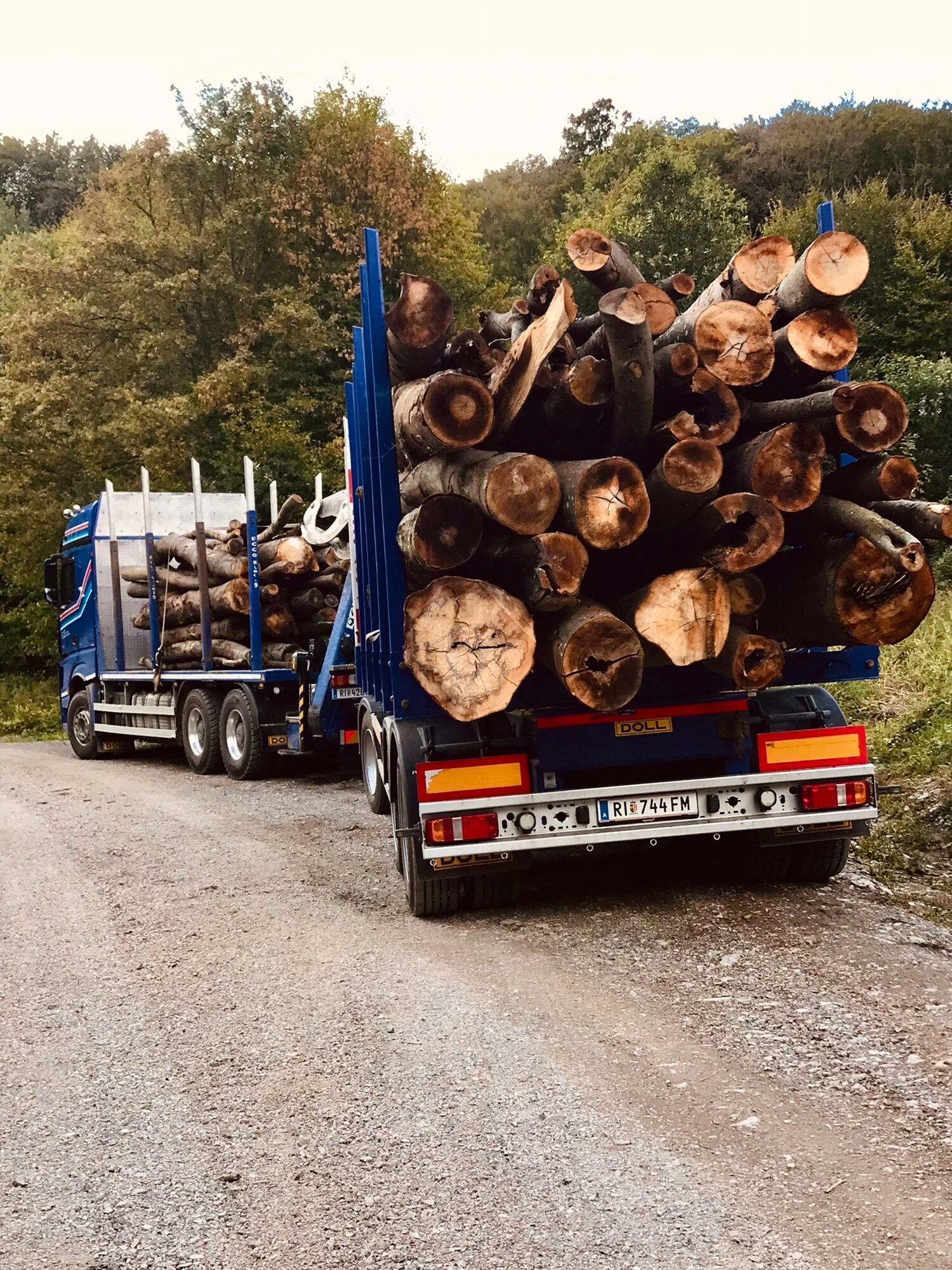
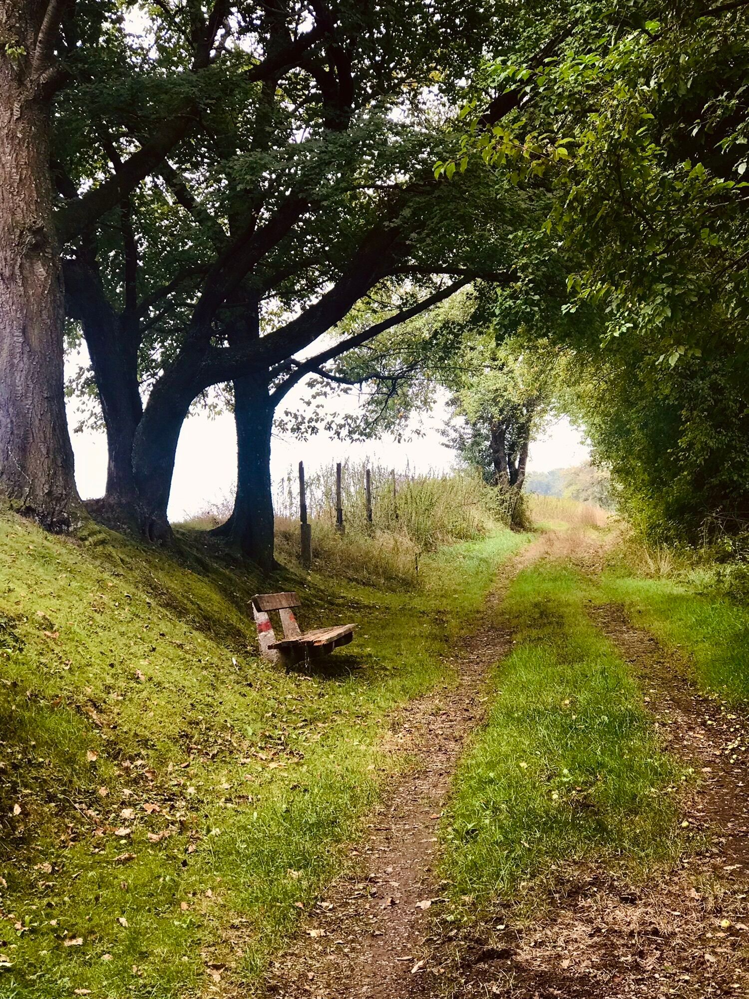
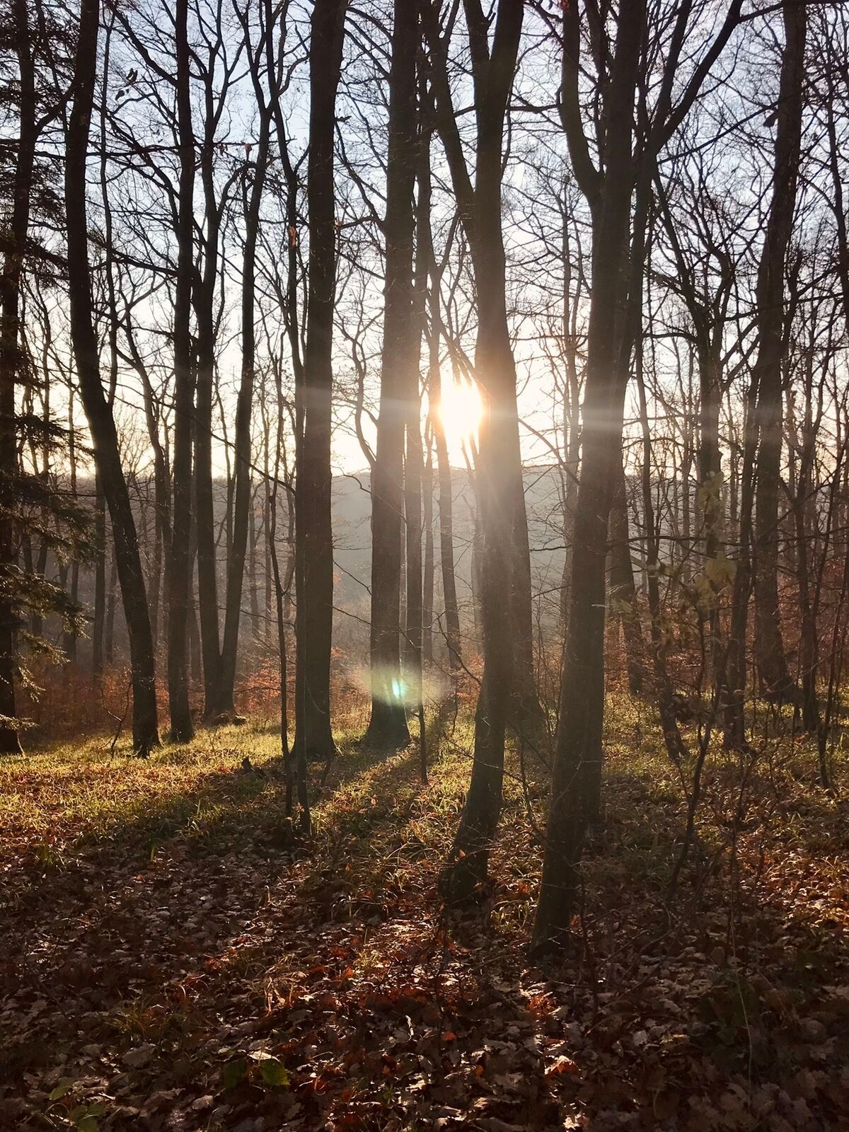
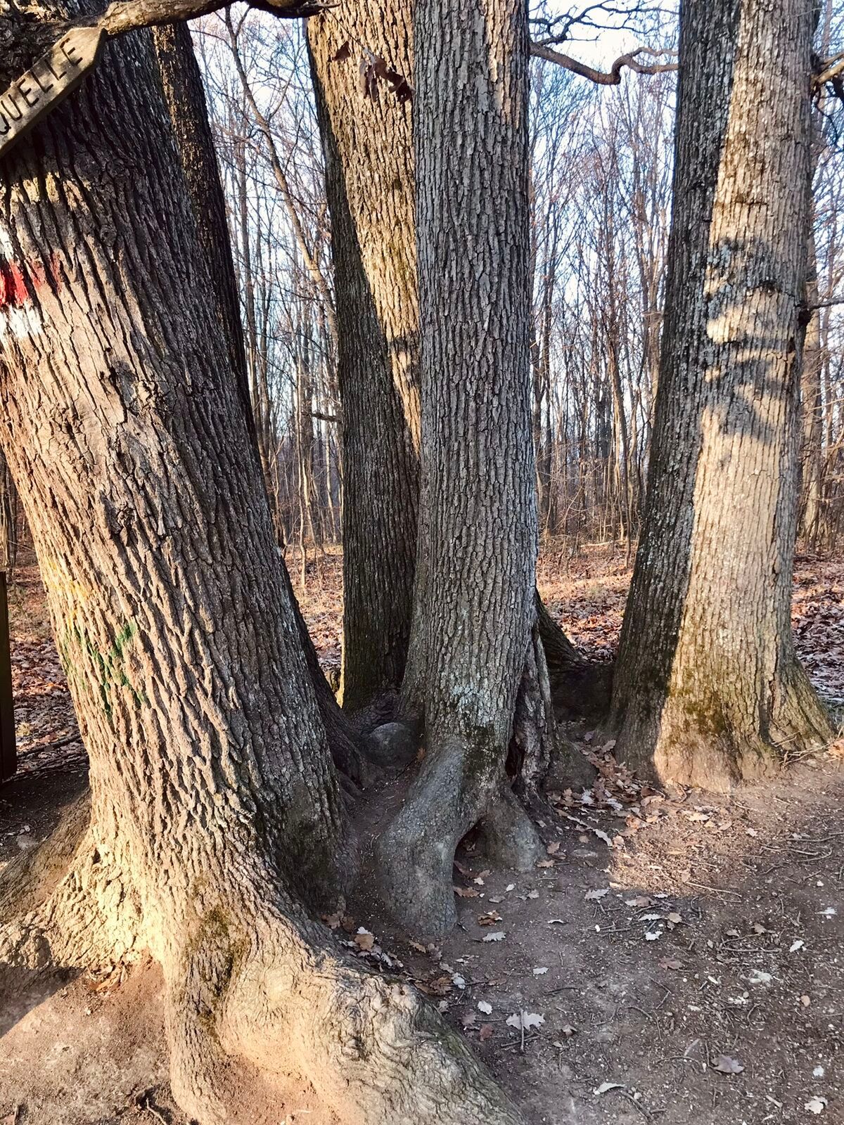
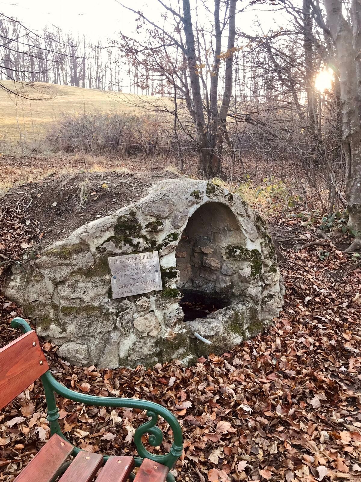
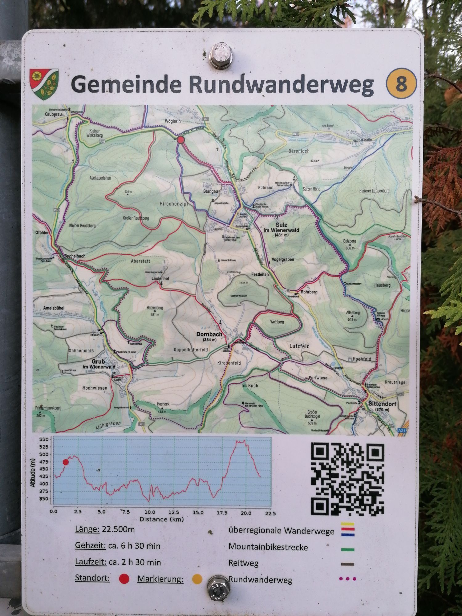
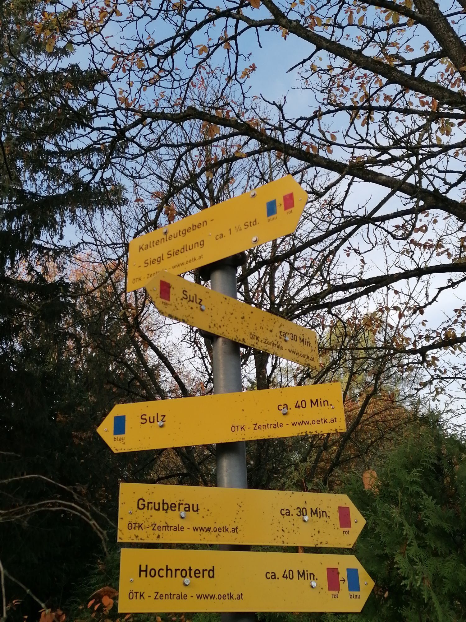
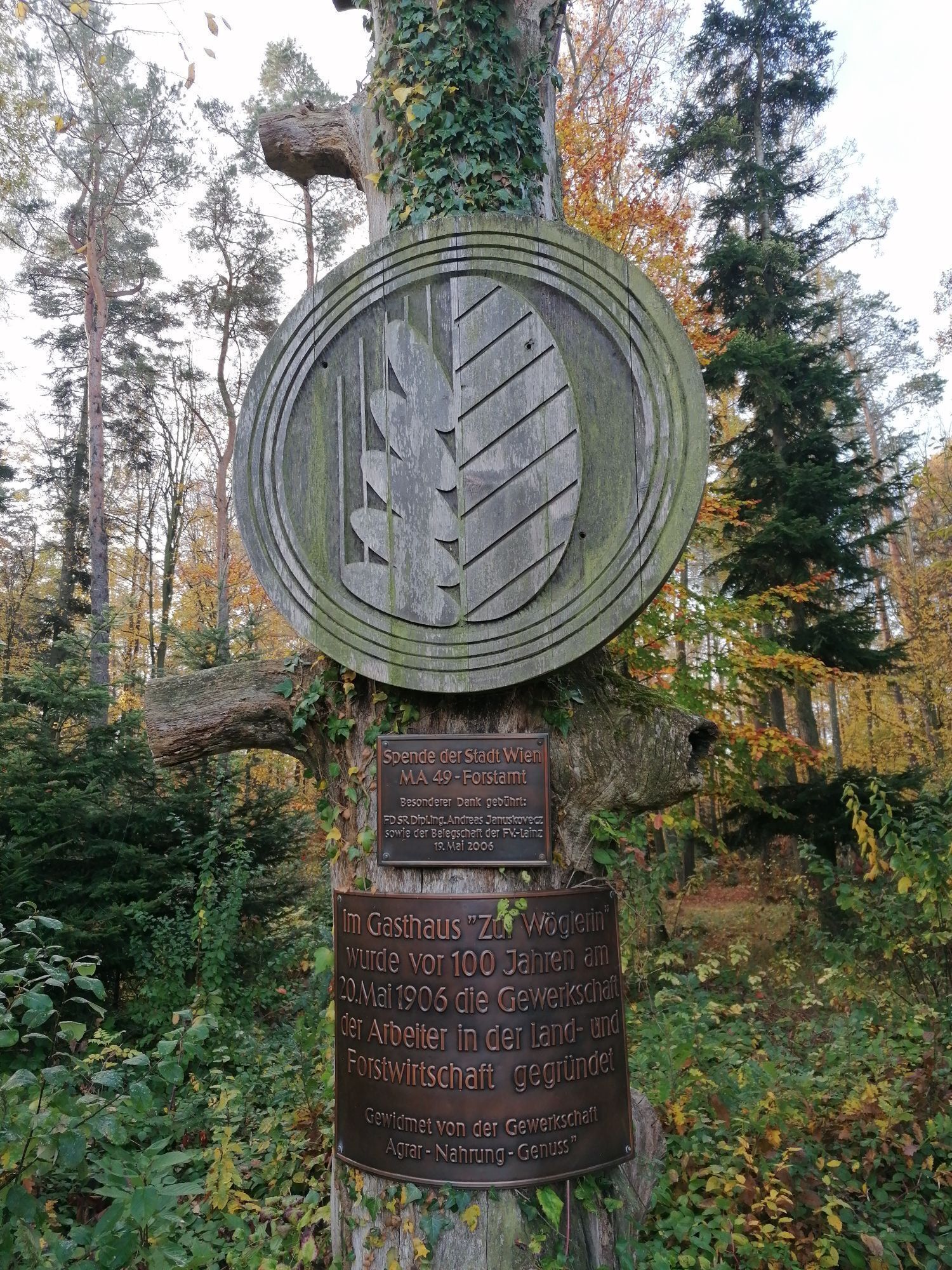
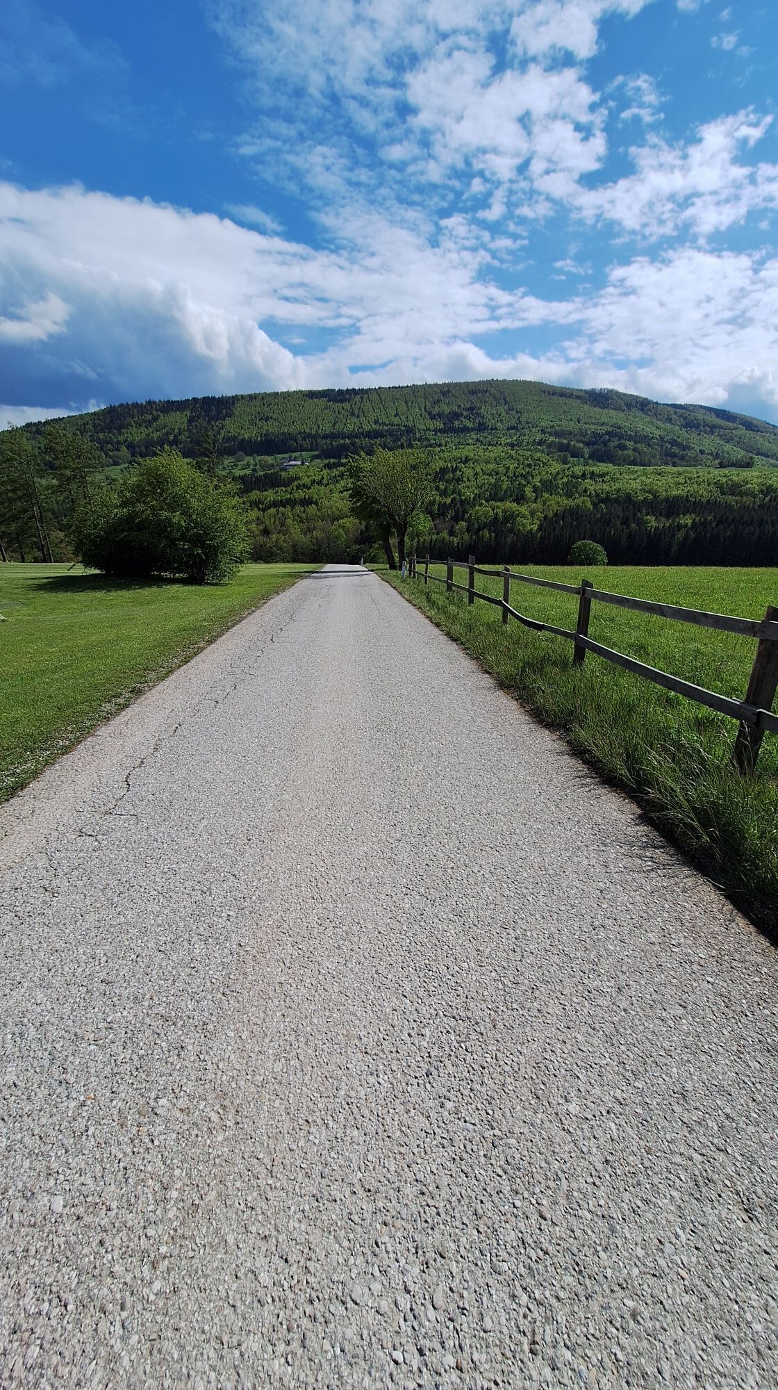
This path is a challenge due to its length. We start directly in front of the municipal office and hike eastward. At the first right turn (dead end), we follow the red-white-red marking (long-distance trail 04). At the end of the alley begins a roughly 700 m long meadow path to the first farmhouse and then continuing partly on paved farm roads, forest paths, and gravel roads. At the Forsthof Icelandic horse farm, the long-distance trail 04 turns left, which we follow up to the golf course. Immediately after the golf course, we leave the long-distance trail and turn right onto an unmarked path. Once back on the state road, we follow it eastward and cross the Lammeraubauch after about 500 m (caution, no footbridge!). Under the motorway, we reach the village of Klein-Krottenbach. We now face a roughly 1.2 km long asphalt section northward along the state road before turning right at the ÖBF timber storage area. From here, aside from a short section on the state road, we walk approximately 2 ½ hours on forest and meadow paths to the Schusternazl inn. Over the Kleiner Winkelberg, we reach the Zur Wöglering inn. Next is a white-blue-white marked 700 m long walk down the state road to Stangau. There, we immediately turn left again onto the forest road. The ascent around Eichberg and to Gernberg is always gentle. At the “Sieben Eichen” power spot, we turn left on a forest road to the sports field, where we turn left onto the forest path, following the white-blue-white marking. After the “Red Cross,” we switch after about 600 m to the white-green-white marking, descending through the forest to Breitenfurt, where our hike ends at the sports field.
Sturdy footwear, water, rain protection
Despite the most careful research, there may be unexpected short-, medium- or even long-term closures on the routes (e.g., due to forestry closures by landowners). Parking options recommended by us may be private or subject to fees – please observe on-site signage. Some paths may partly or entirely pass through fee-based areas (e.g., nature parks or gorges). This is usually explicitly indicated in the description. All information is provided without guarantee, and use of the paths is at your own risk. Any path closures and notices from hunting and landowners must be observed.
Starting point: Take the bus to the stop "Laaben Hauptplatz"
End point: Take the bus to the stop "Breitenfurt Grüner Baum"
At the Laaben municipal office
Breitenfurt sports field
Wienerwald Tourismus GmbH
Hauptplatz 11, 3002 Purkersdorf
Tel.: 02231/62176
E-mail: office@wienerwald.info
Website: www.wienerwald.info
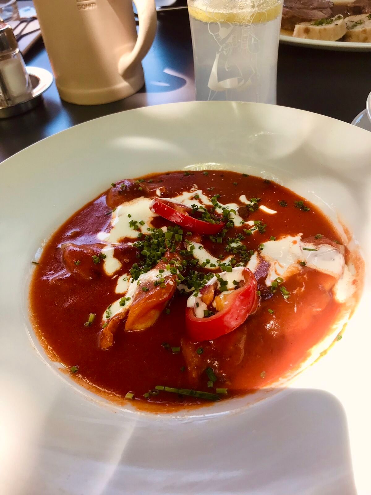
Dining options along the route
Landgasthof zur Linde - traditional tavern culture Schöpfl Schutzhaus Gasthaus Stegermaier Landcafe BreitenfurtUpdated on: 12.11.20202
Popularne wycieczki w okolicy
-
4,5
Erlebnisweg Peilstein...auf den Spuren der Kletterer
średniTrasa tematyczna 6 km -
4,7
AUGUSTINERHÜTTE Parkplatz bei B210 Hoher Lindkogel, Langes Tal 20221030
średniWędrówka 8,02 km -
4,7
Schöpfl
światłoWędrówka 9,52 km -
4,6
Angelos Touren: vom Helenental auf den Hohen Lindkogel
średniWędrówka 11,4 km -
4,6
Abend/Nachtwanderung Teufelstein
światłoWędrówka 7,15 km -
4,6
Naturpark Sparbach
światłoWędrówka 7,08 km -
4,6
Stadtwanderweg 6 / Zugberg - Maurer Wald (lt. Beschilderung)
światłoWędrówka 13,3 km -
4,6
Wienerwald: Maria Raisenmarkt - Peilstein
światłoWędrówka zimą 6,82 km -
4,6
Panorama hike Hafnerberg
światłoWędrówka 8,78 km -
4,5
Baden Helenental Krainerhütte Cholerakapelle RDW
średniWędrówka 10,1 km
Wędrówki i tropienie


Nie przegap ofert i inspiracji na następne wakacje
Twój adres e-mail została dodana do listy mailingowej.