







World Heritage Trail Wachau 03 - Detour: Weißenkirchen-Spitz





Detour Welterbesteig Wachau - Wachau World Heritage Trail: From Weißenkirchen to Spitz
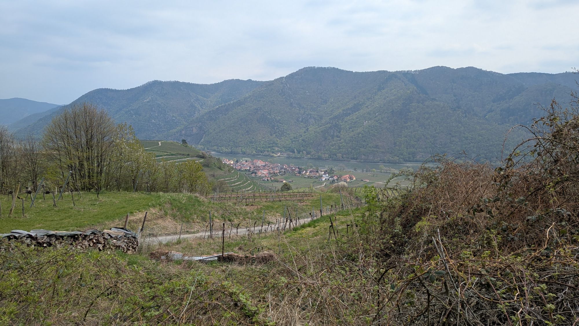
The stage from Weißenkirchen to Spitz leads through the impressive heart of the Wachau stone terrace wine landscape....
Detour Welterbesteig Wachau - Wachau World Heritage Trail: From Weißenkirchen to Spitz
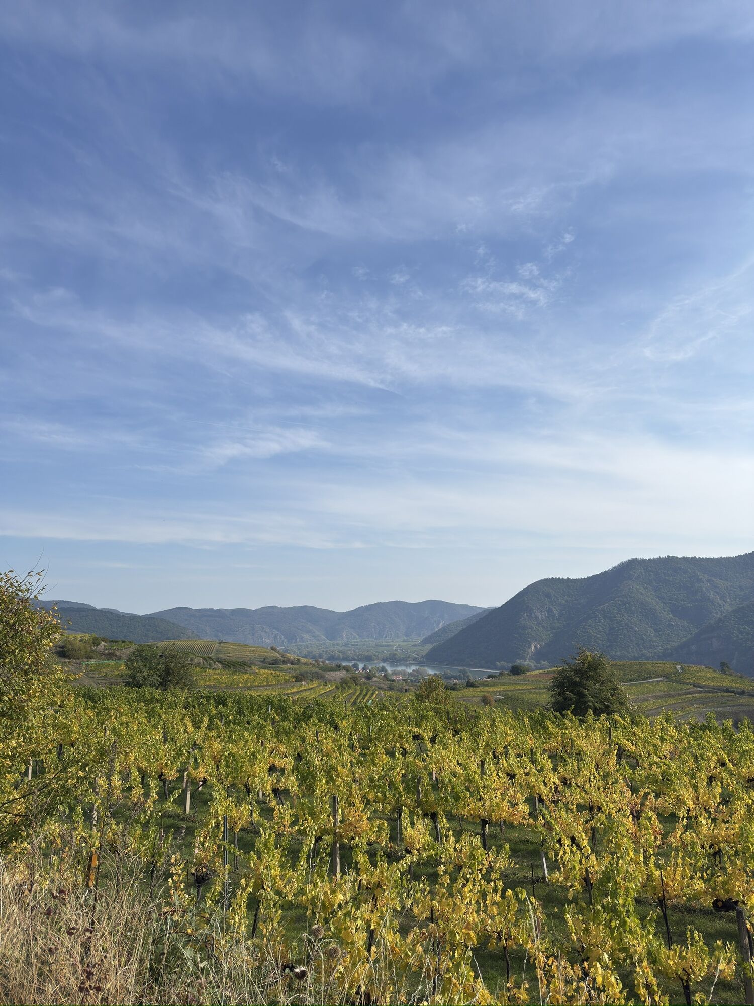
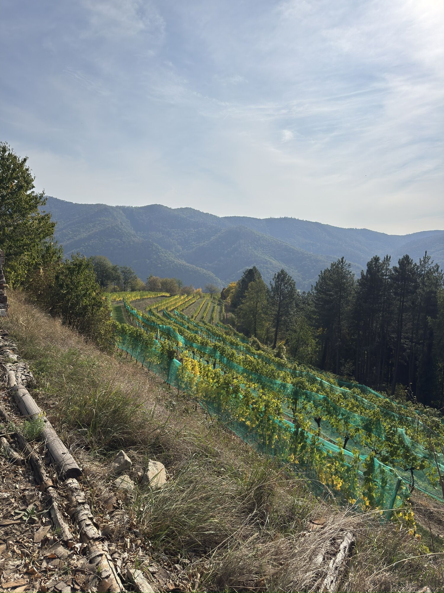
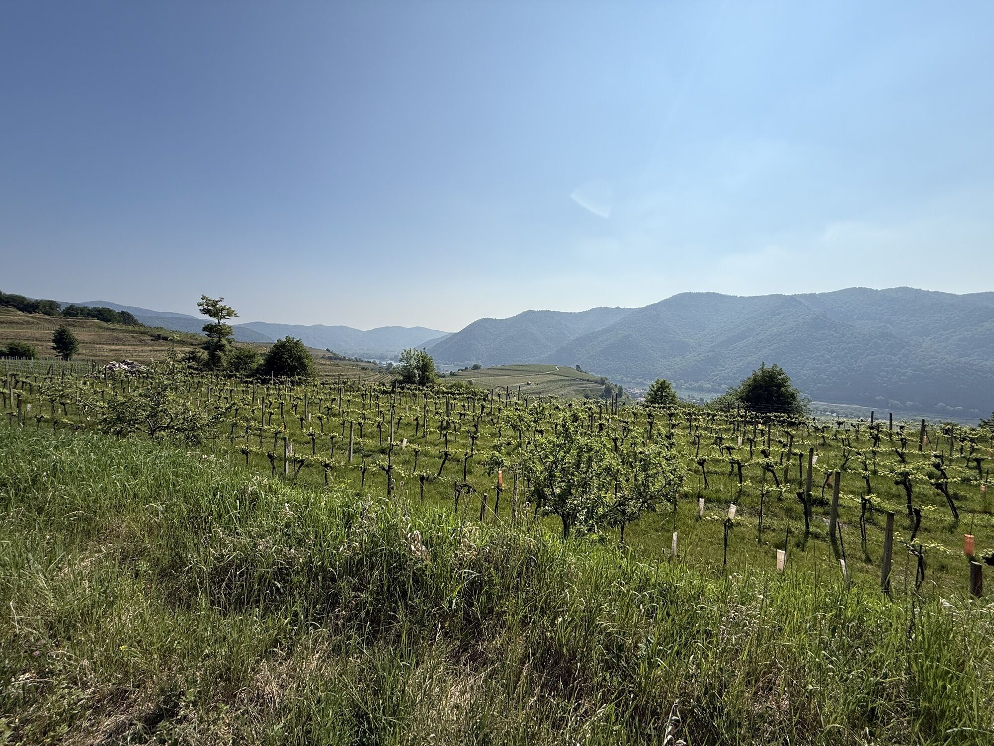
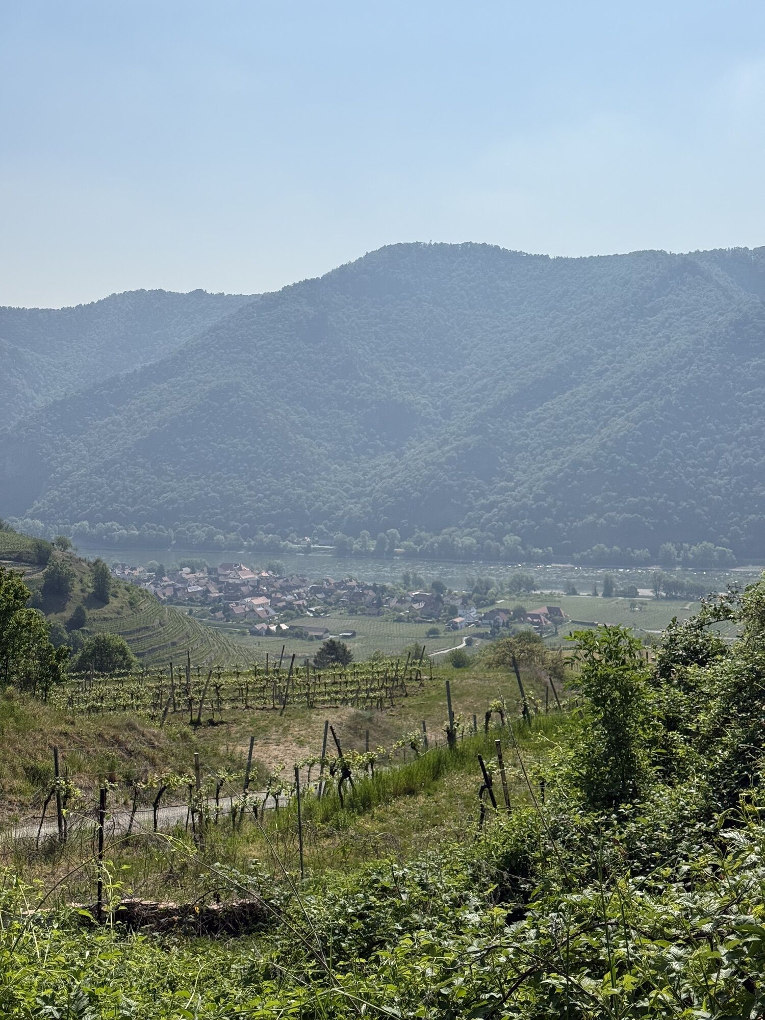
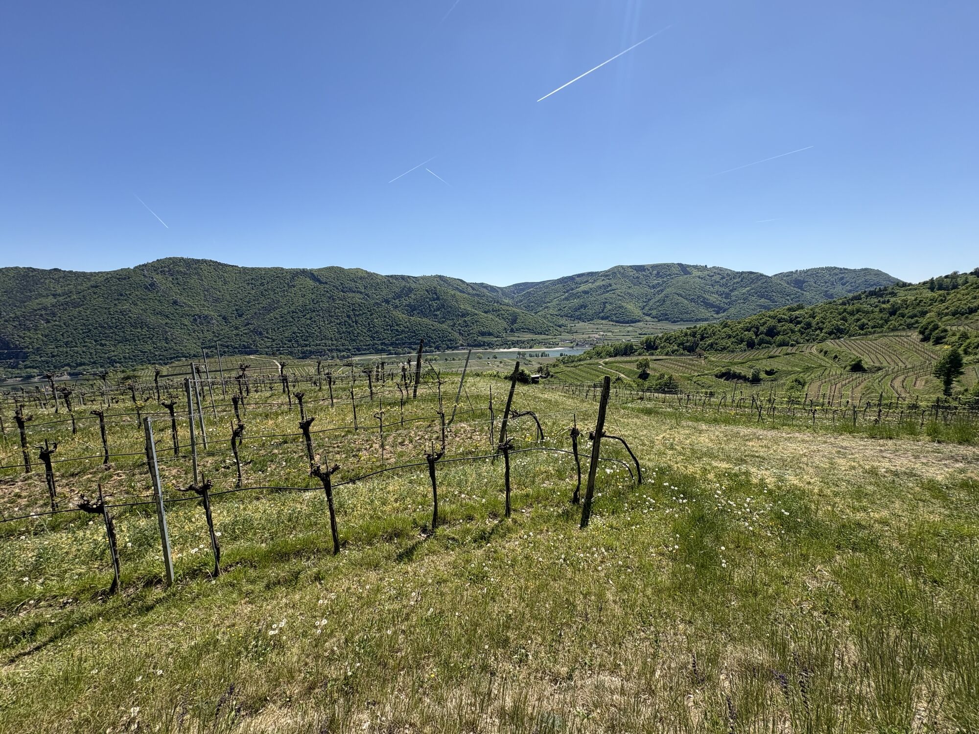
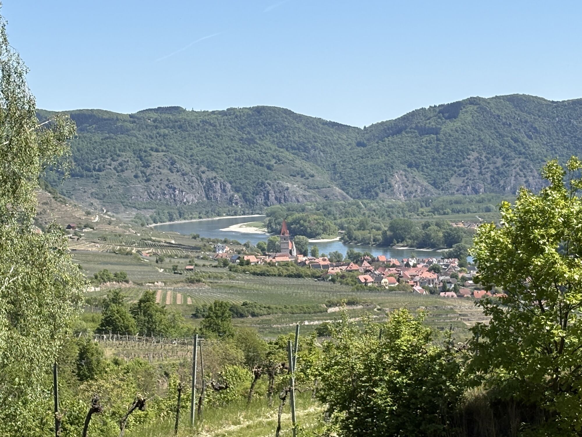
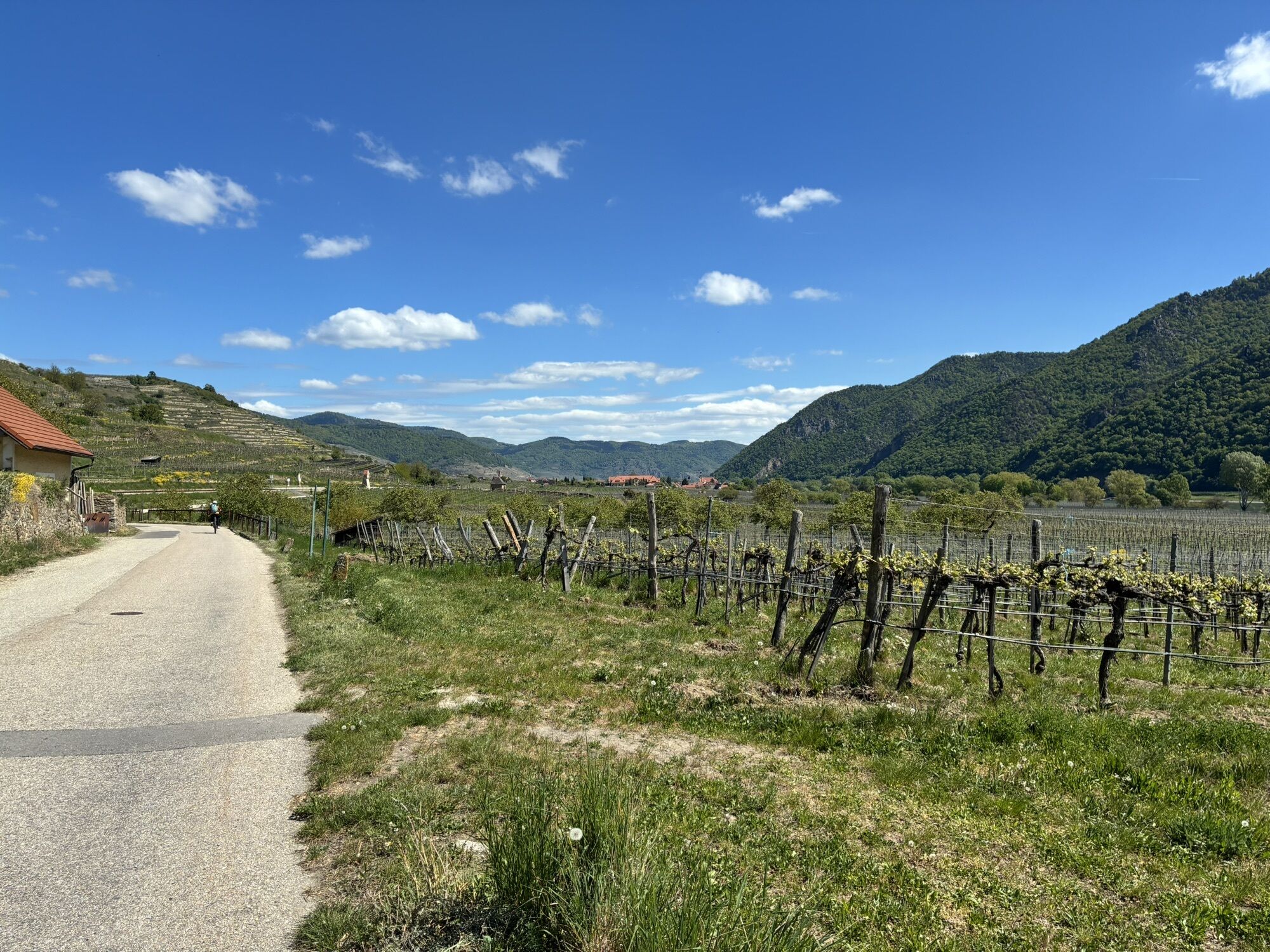
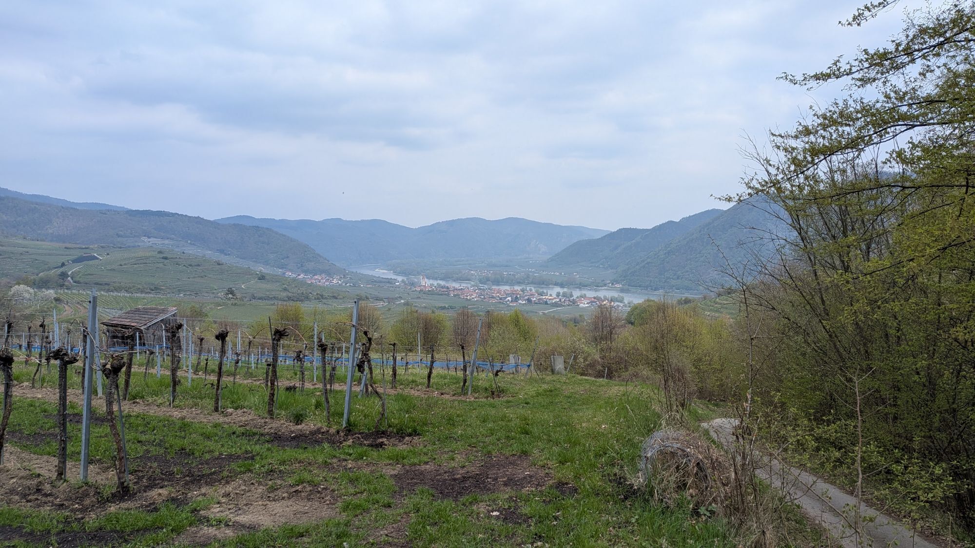
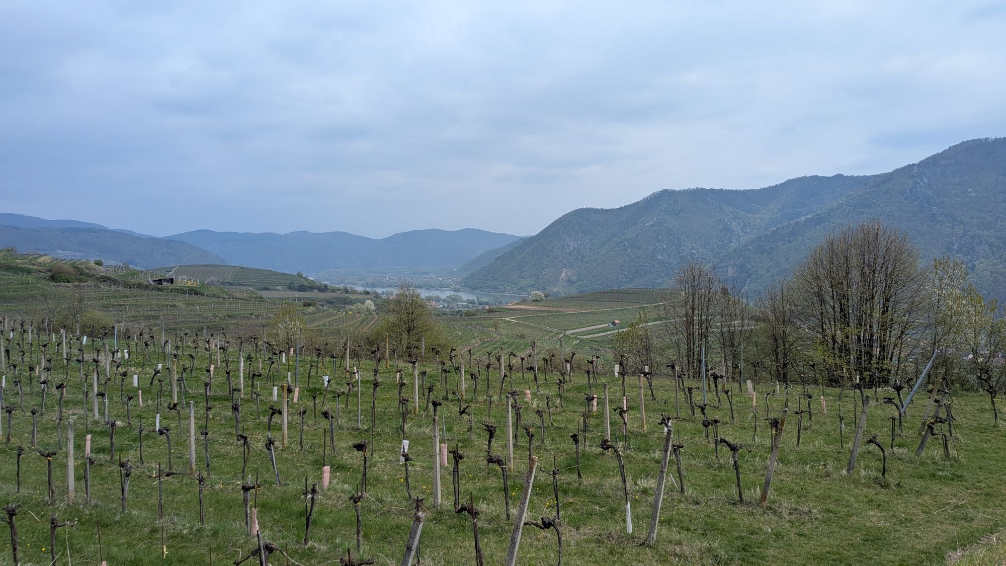
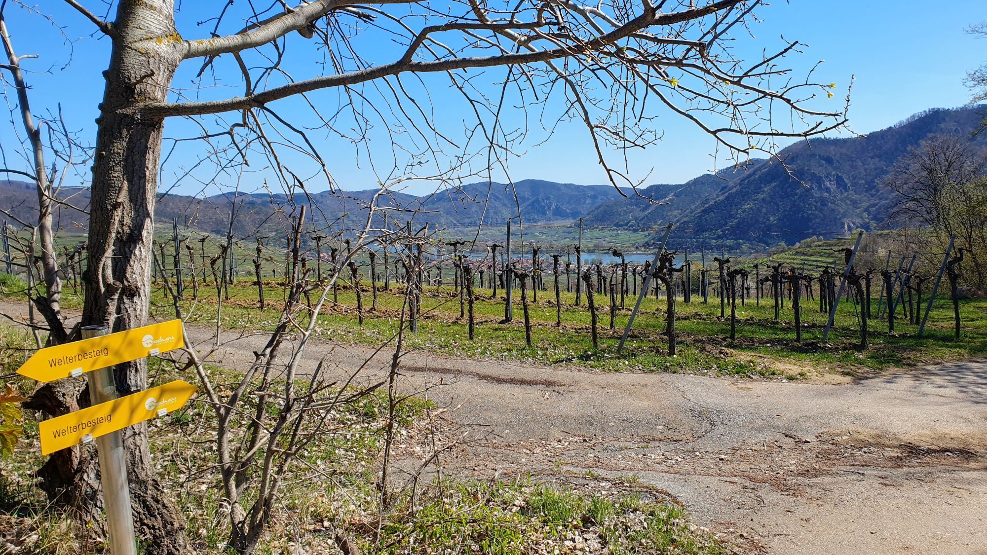
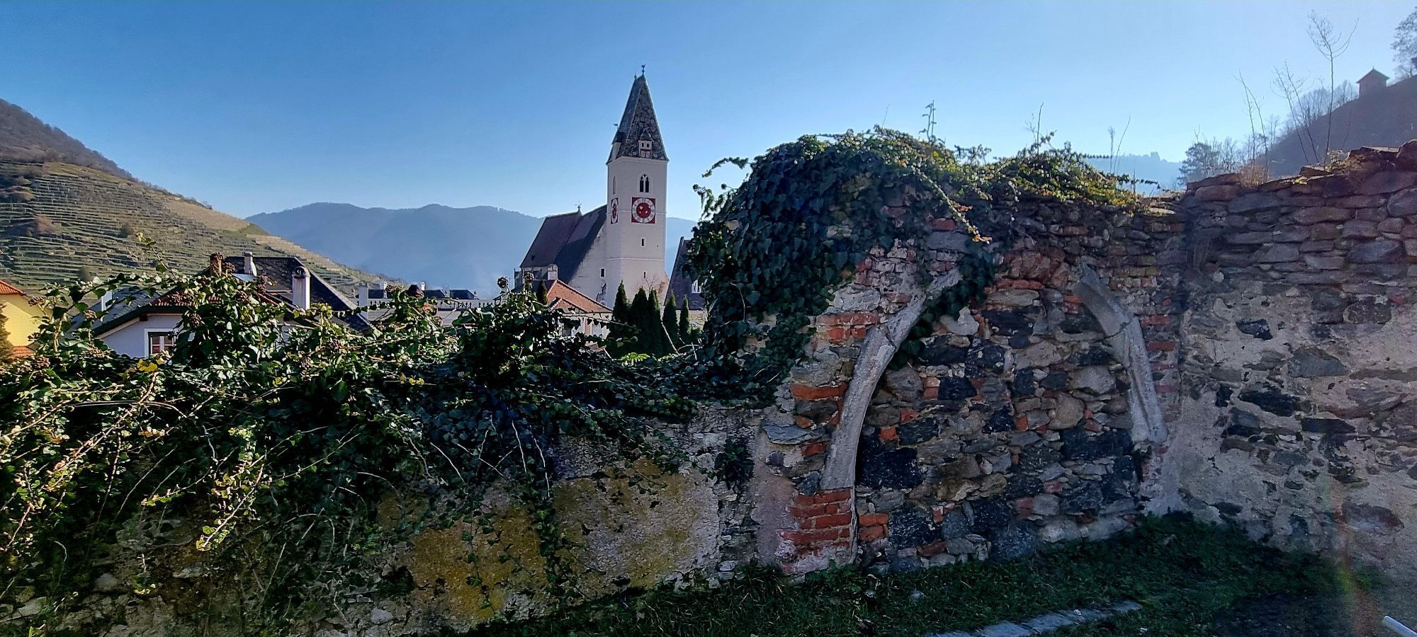
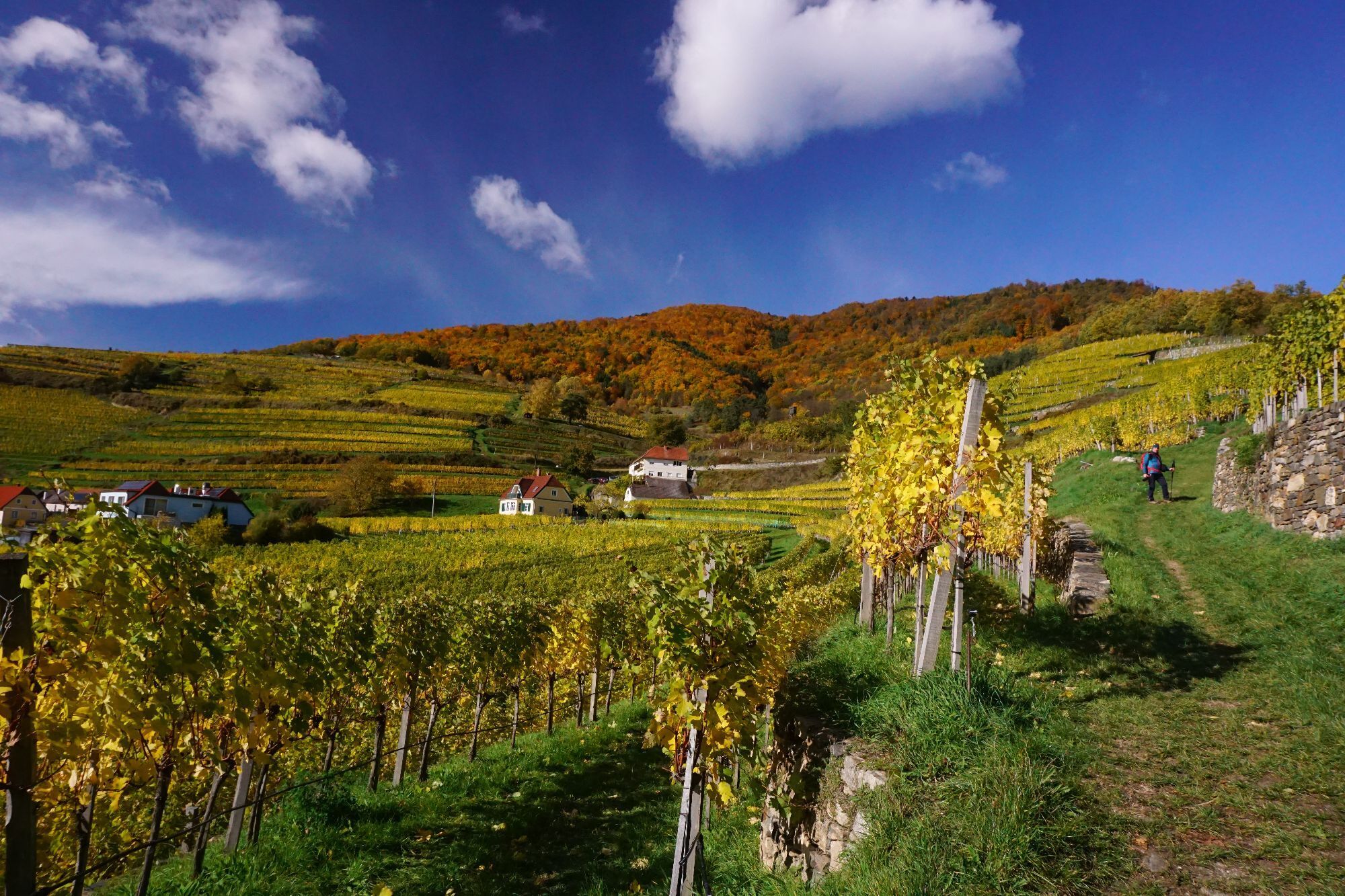
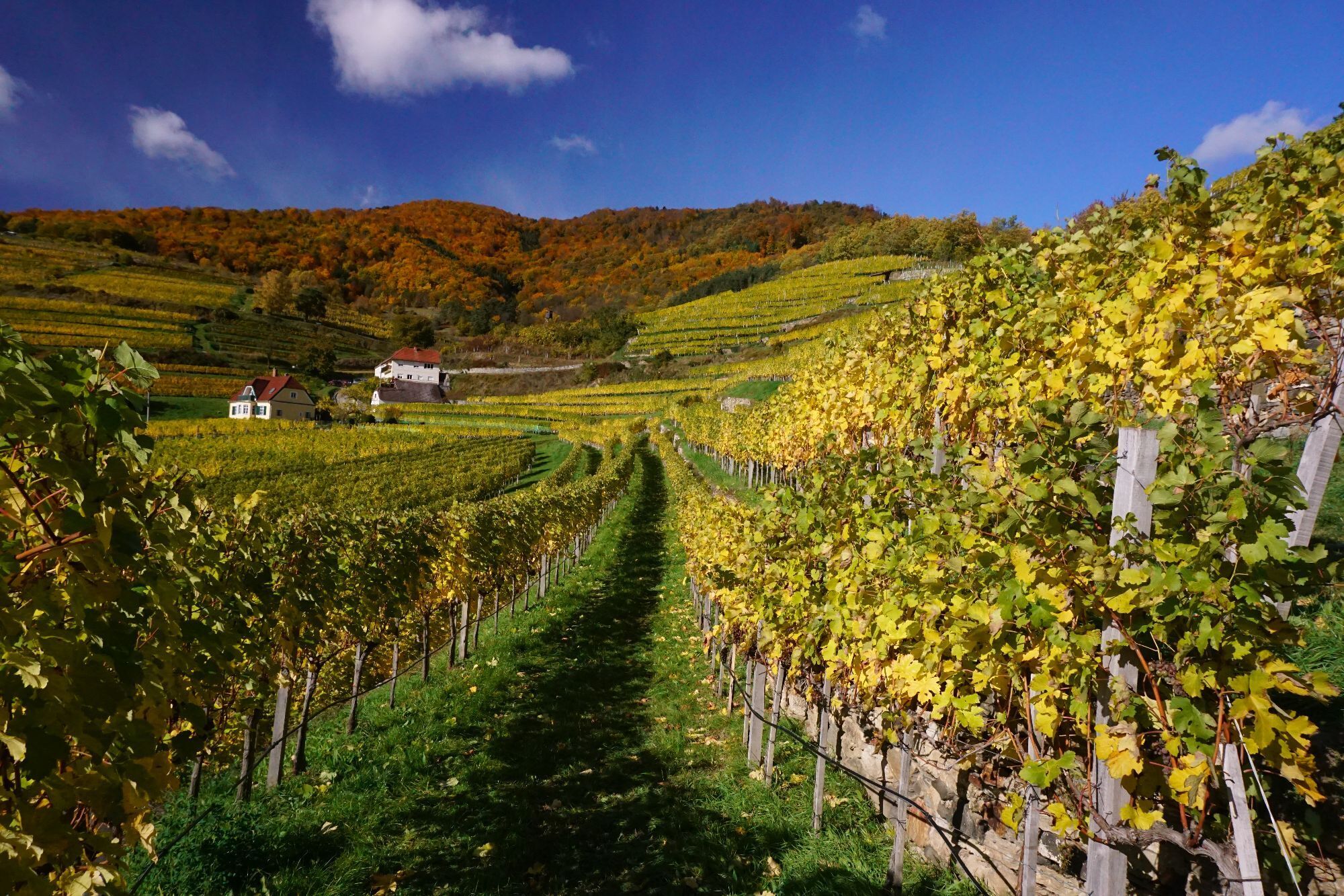
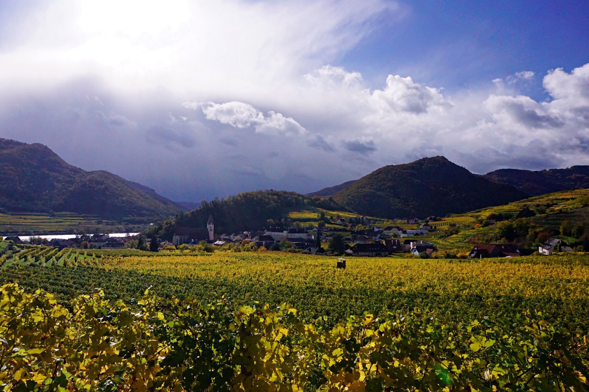
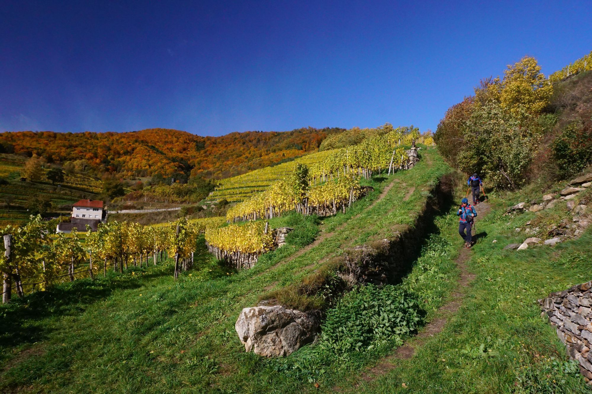
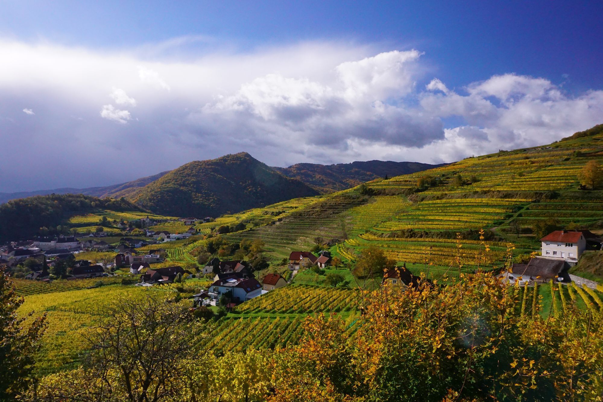
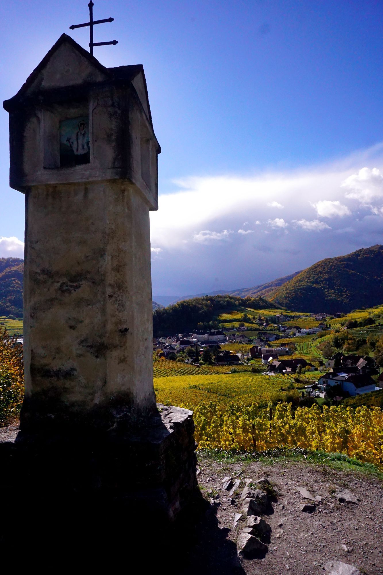
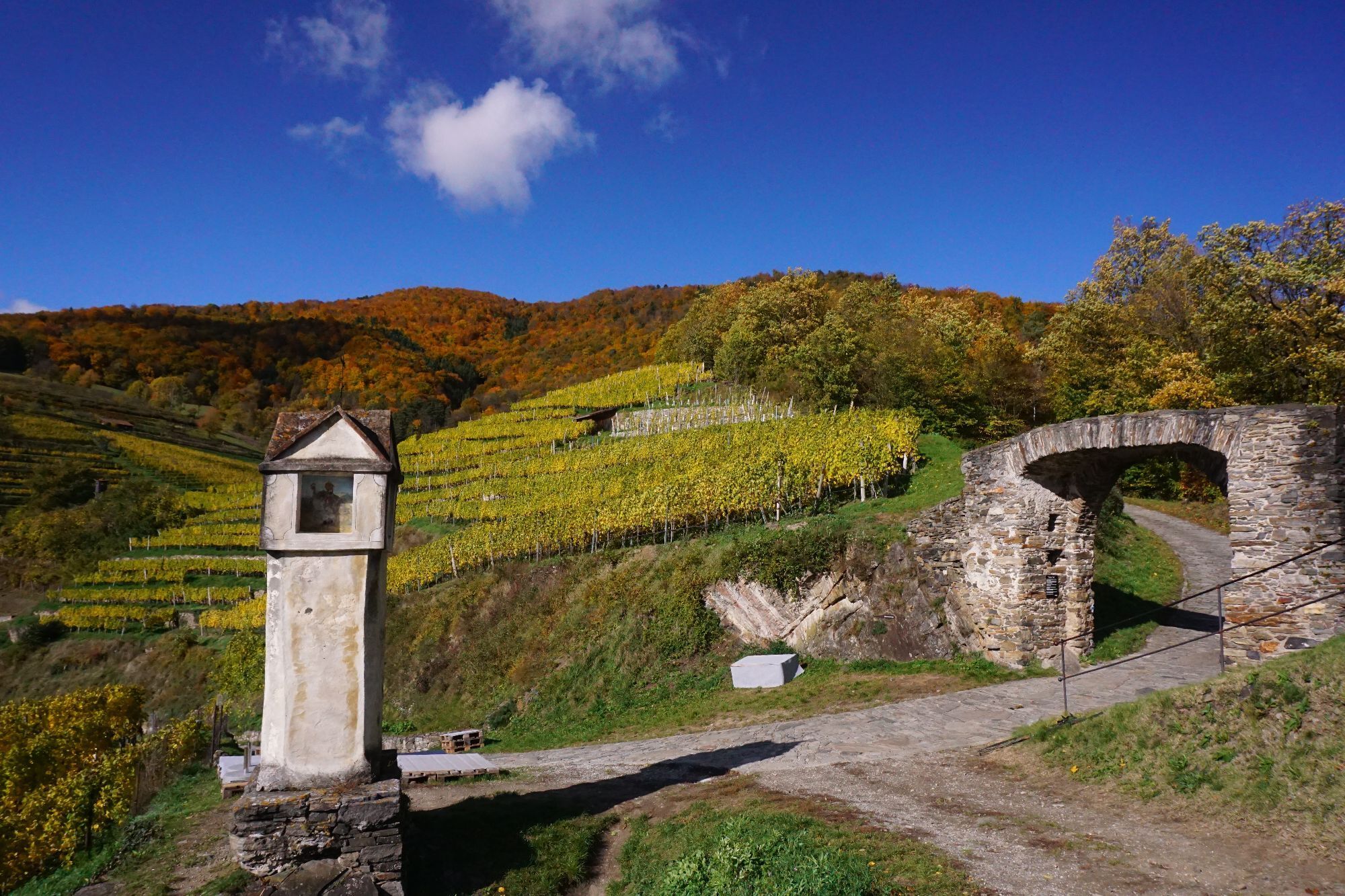
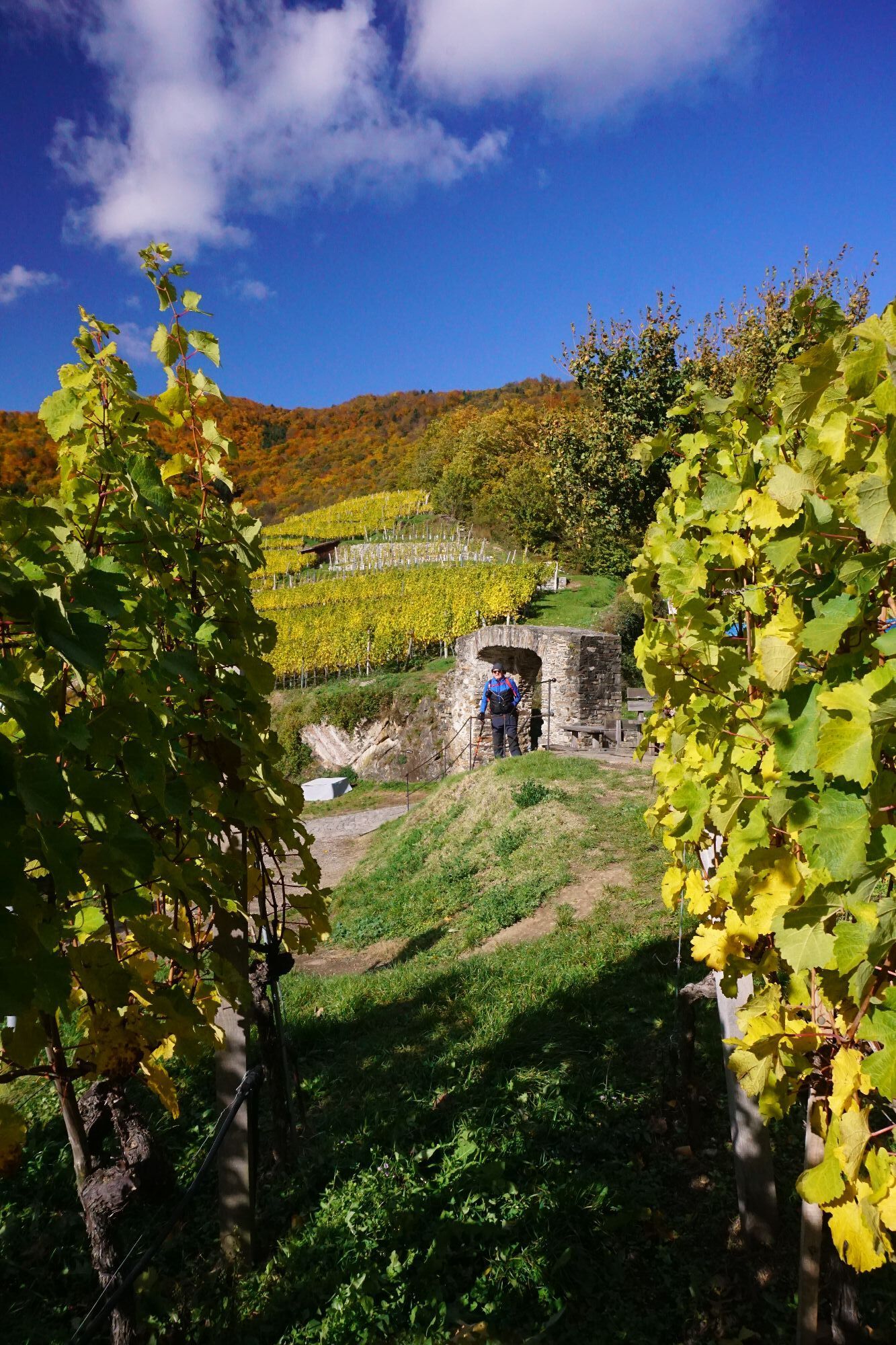
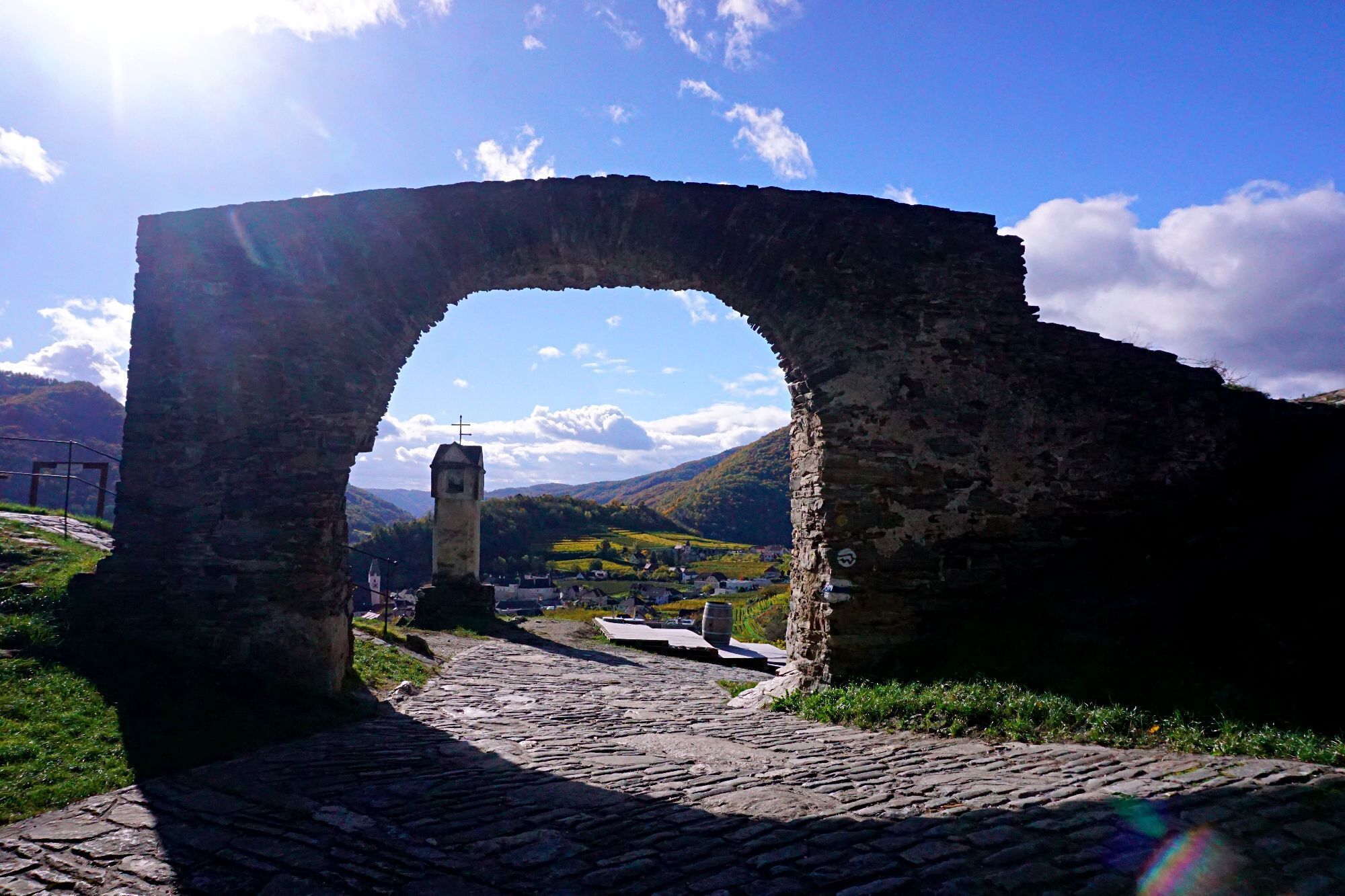
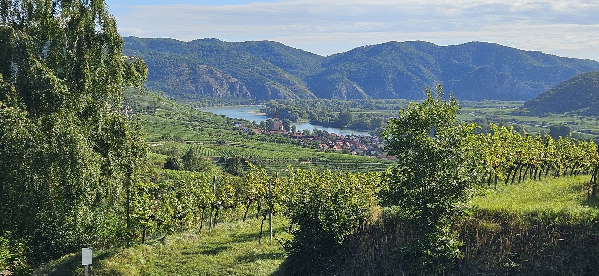
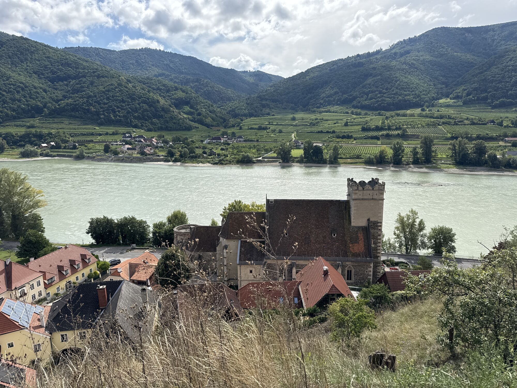
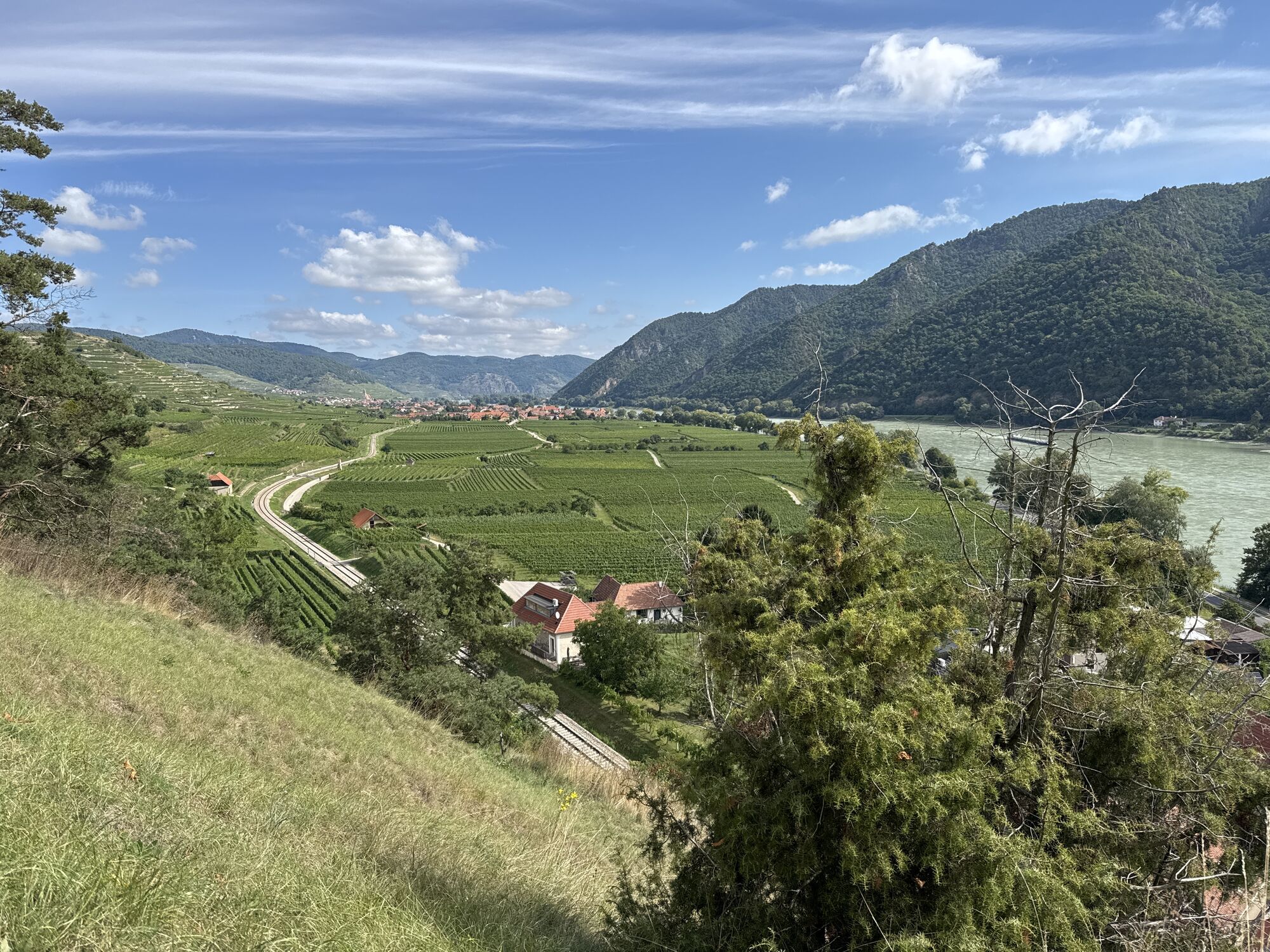
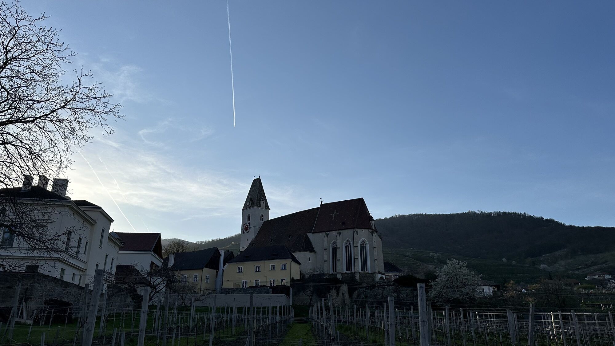
The stage from Weißenkirchen to Spitz leads through the impressive heart of the Wachau stone terrace wine landscape. High above the Danube, the trail runs through the largest closed wine-growing area in the Wachau with renowned vineyards such as Kollmitz, Kollmütz and Hochrain and repeatedly opens up far-reaching views over the Danube valley. The traditional wine-growing villages of Weißenkirchen and Spitz stand for living wine culture and enjoyable refreshment stops.
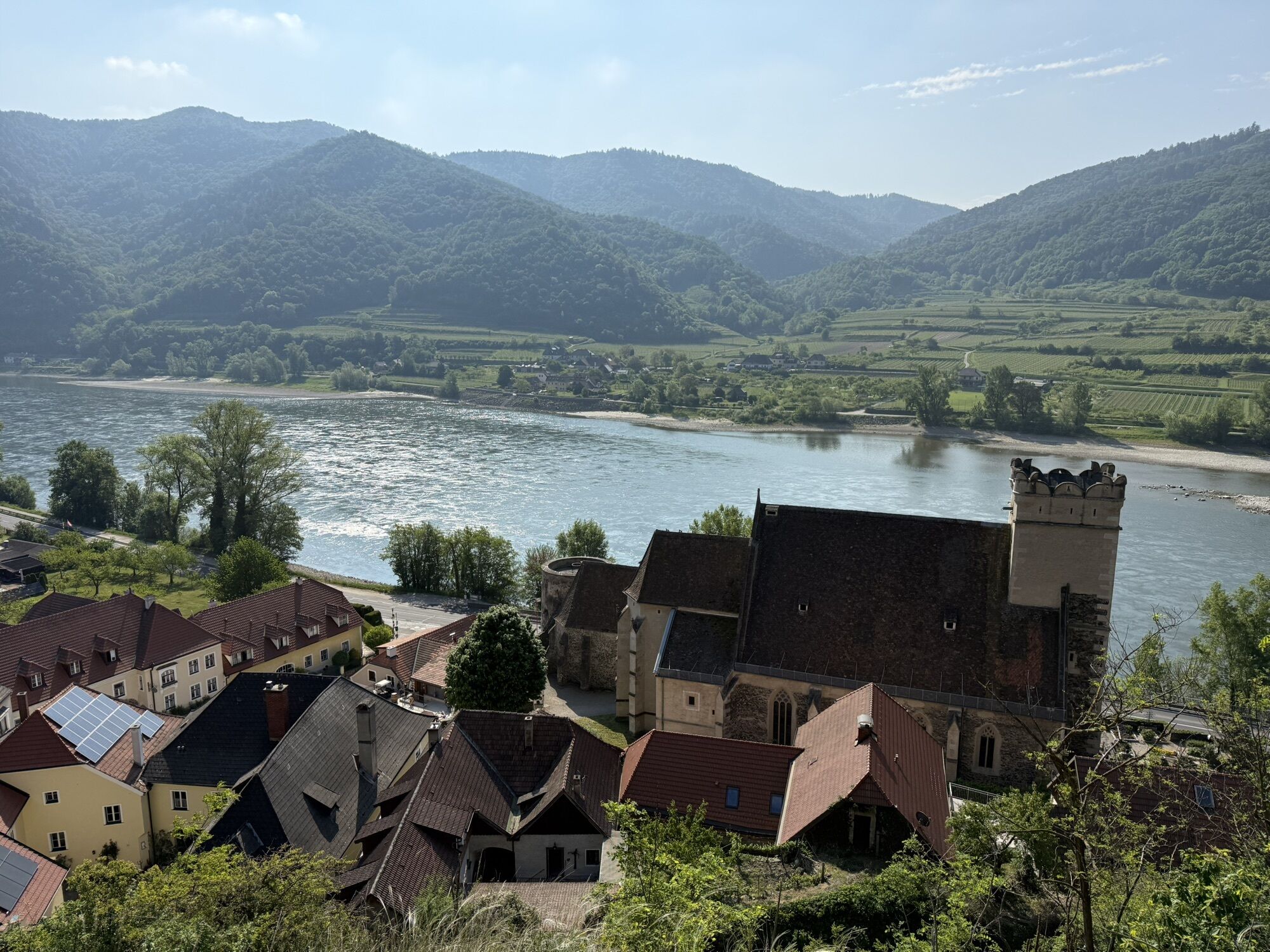
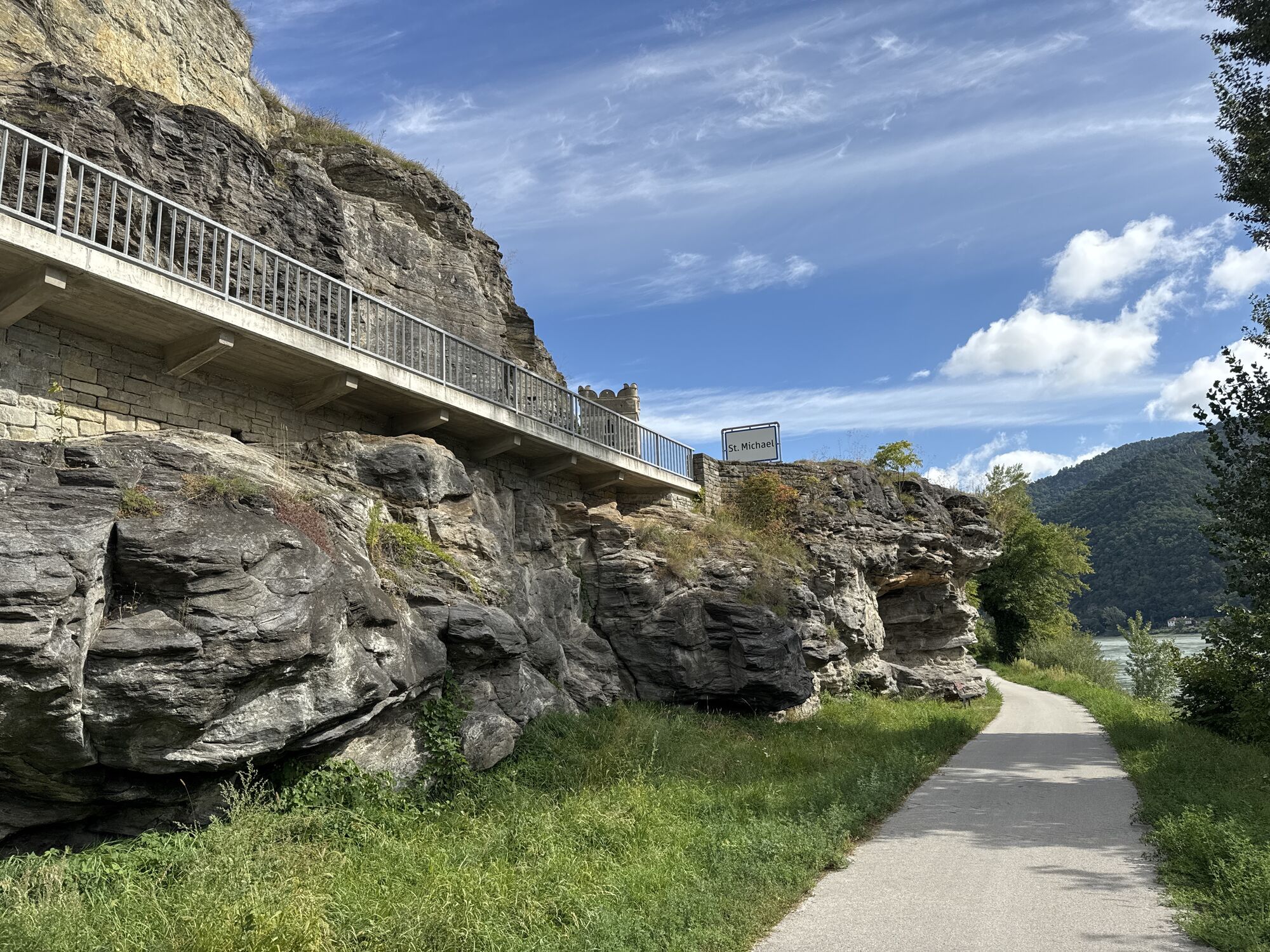
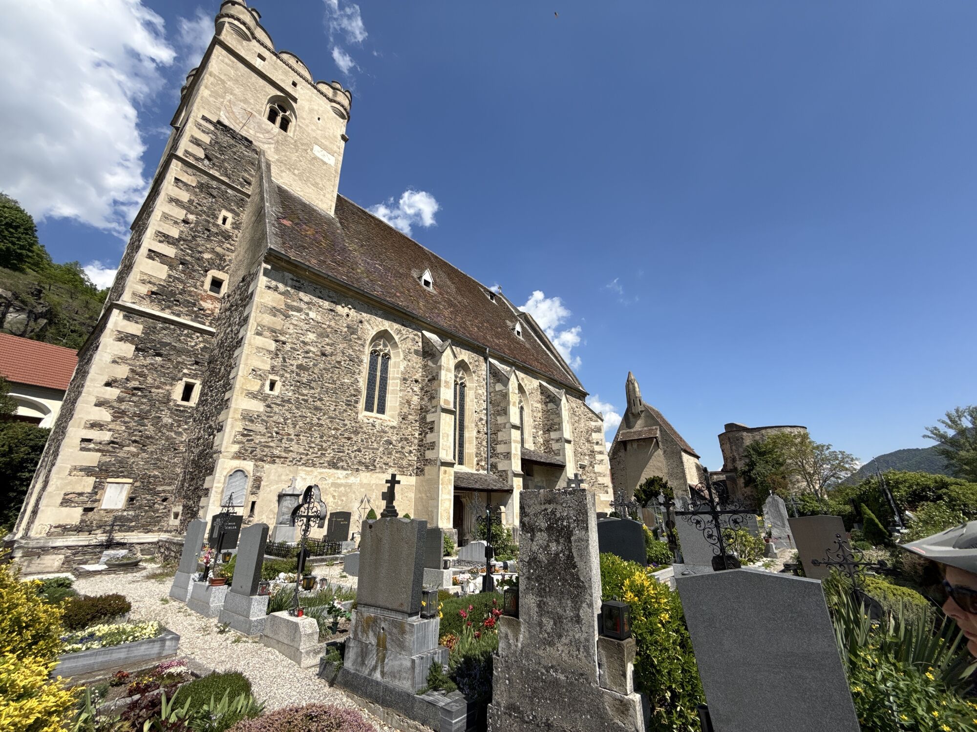
Due to the current detour, the route runs through the villages of Weißenkirchen and St. Michael, while the last section to Spitz leads directly along the Danube. There are no refreshment stops along the route itself, which is why it is recommended that you take appropriate refreshments with you. At the stage destination Spitz, numerous restaurants, wine taverns and rest areas along the Danube invite you to linger. The hourly Wachau bus route 715 between Melk, Spitz, Weißenkirchen and Krems provides a comfortable return journey.
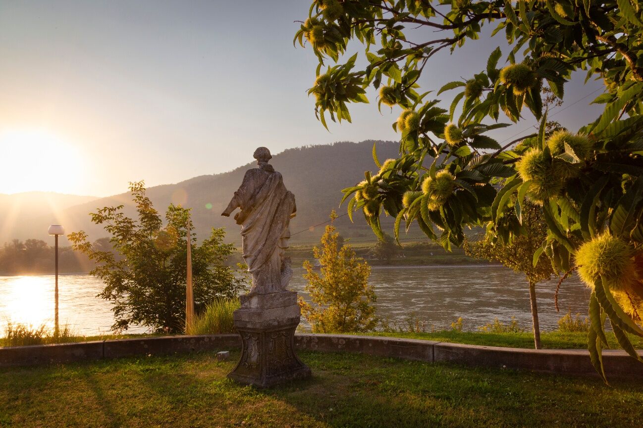

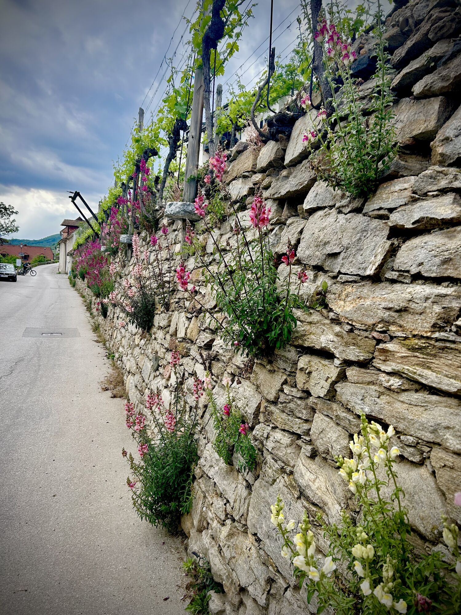
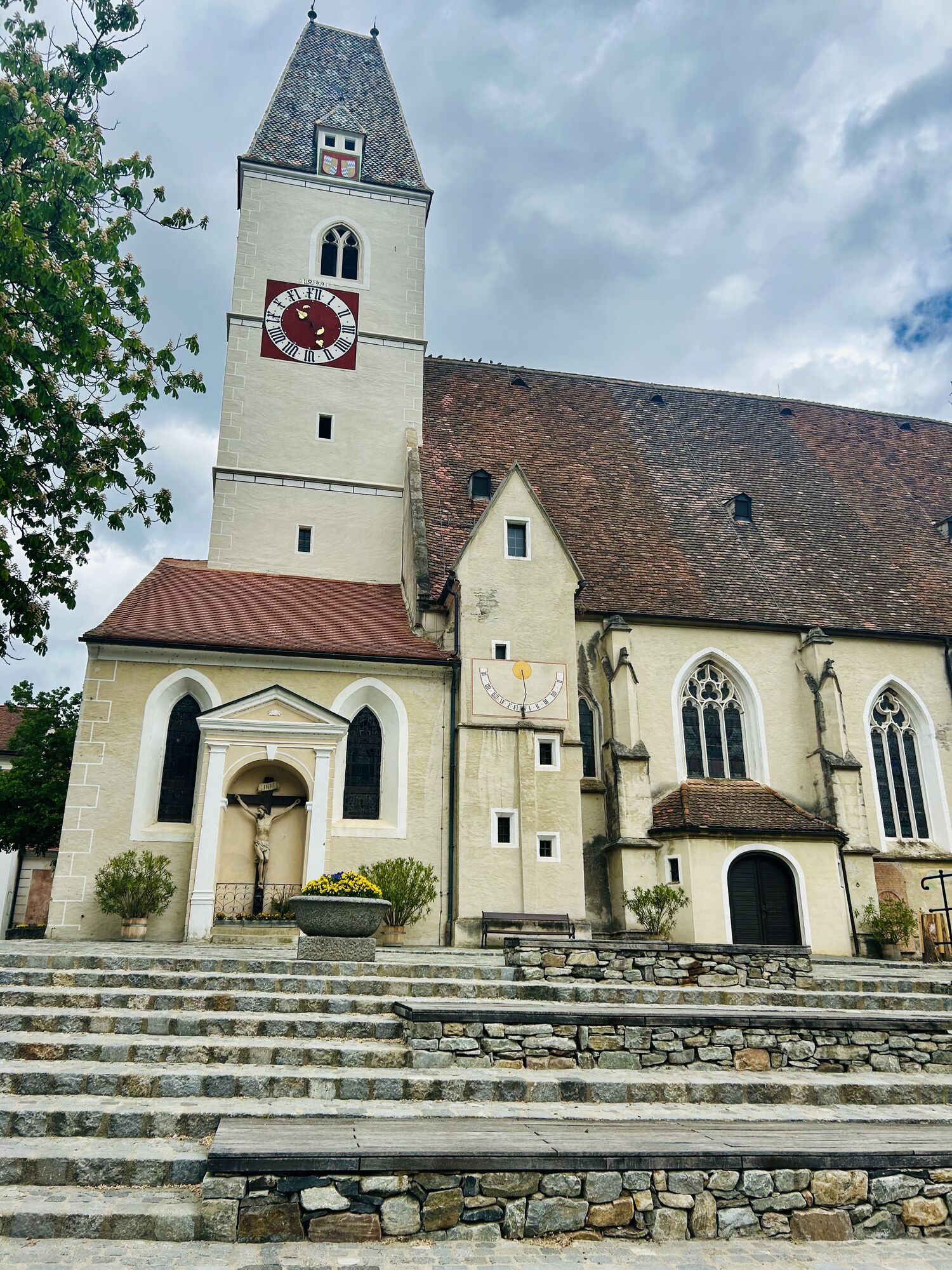
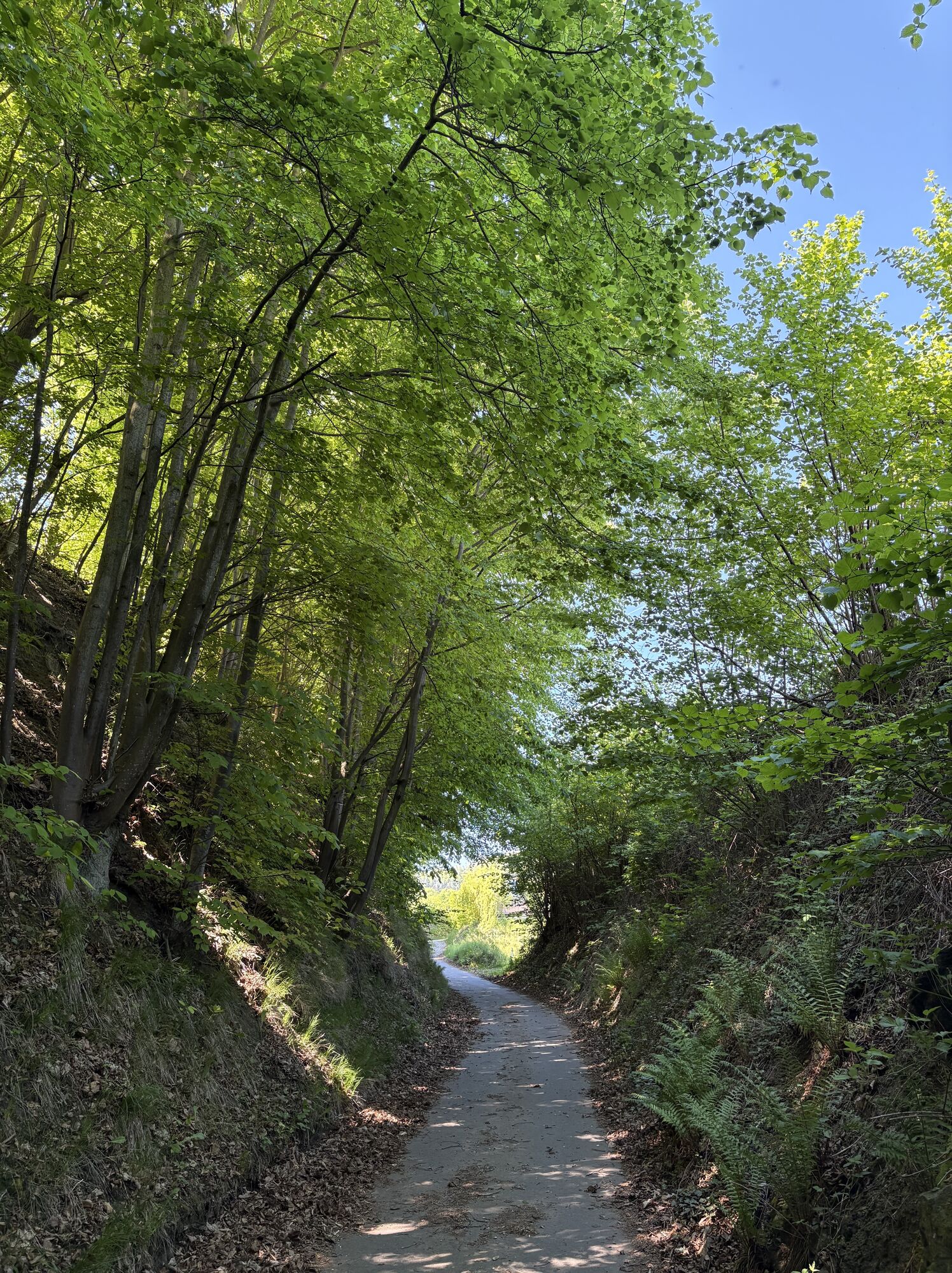
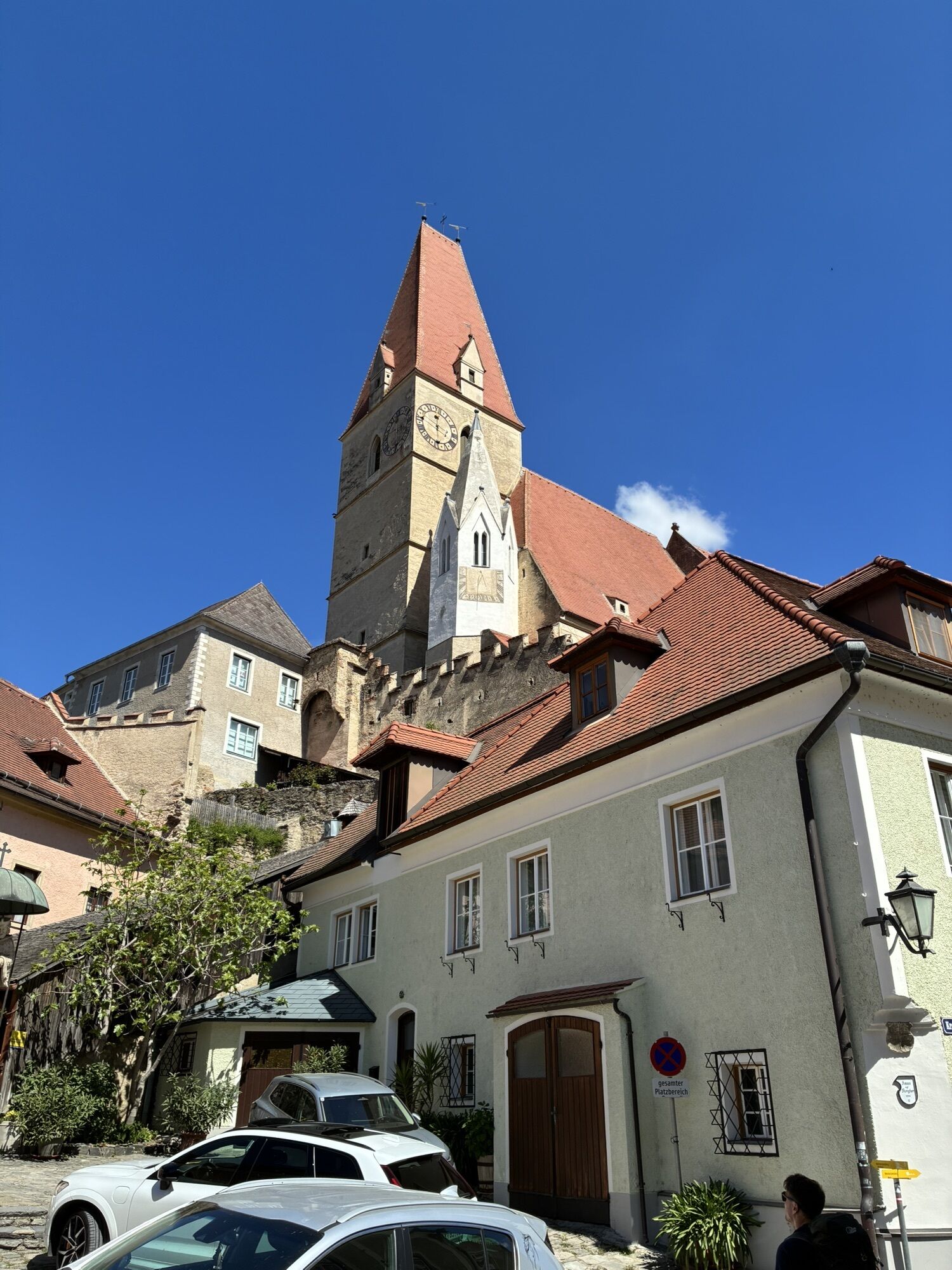
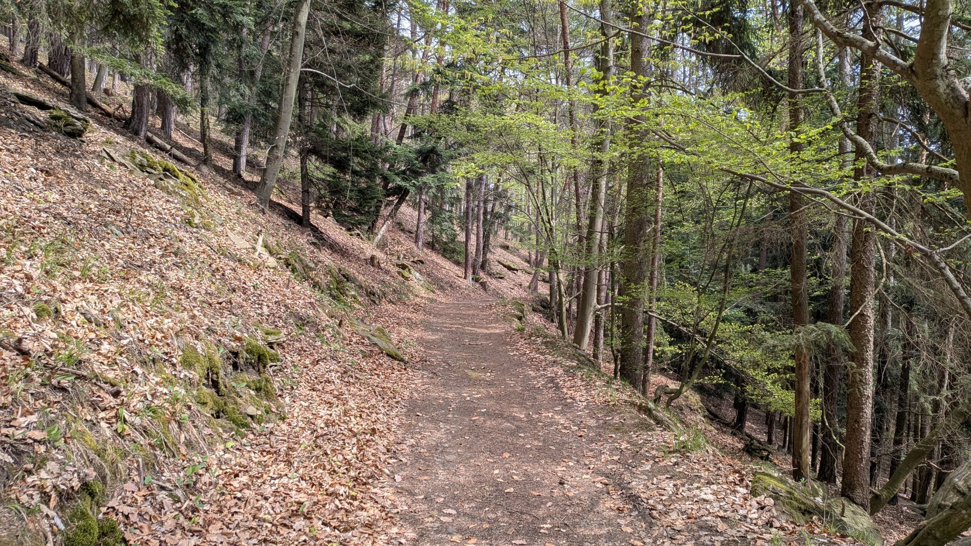
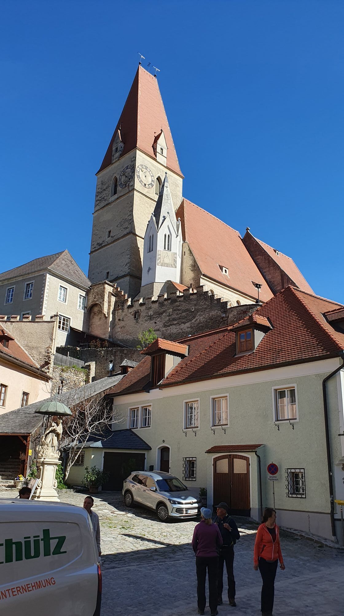
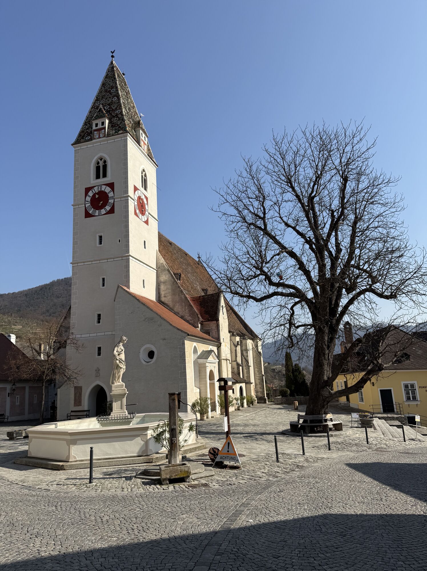
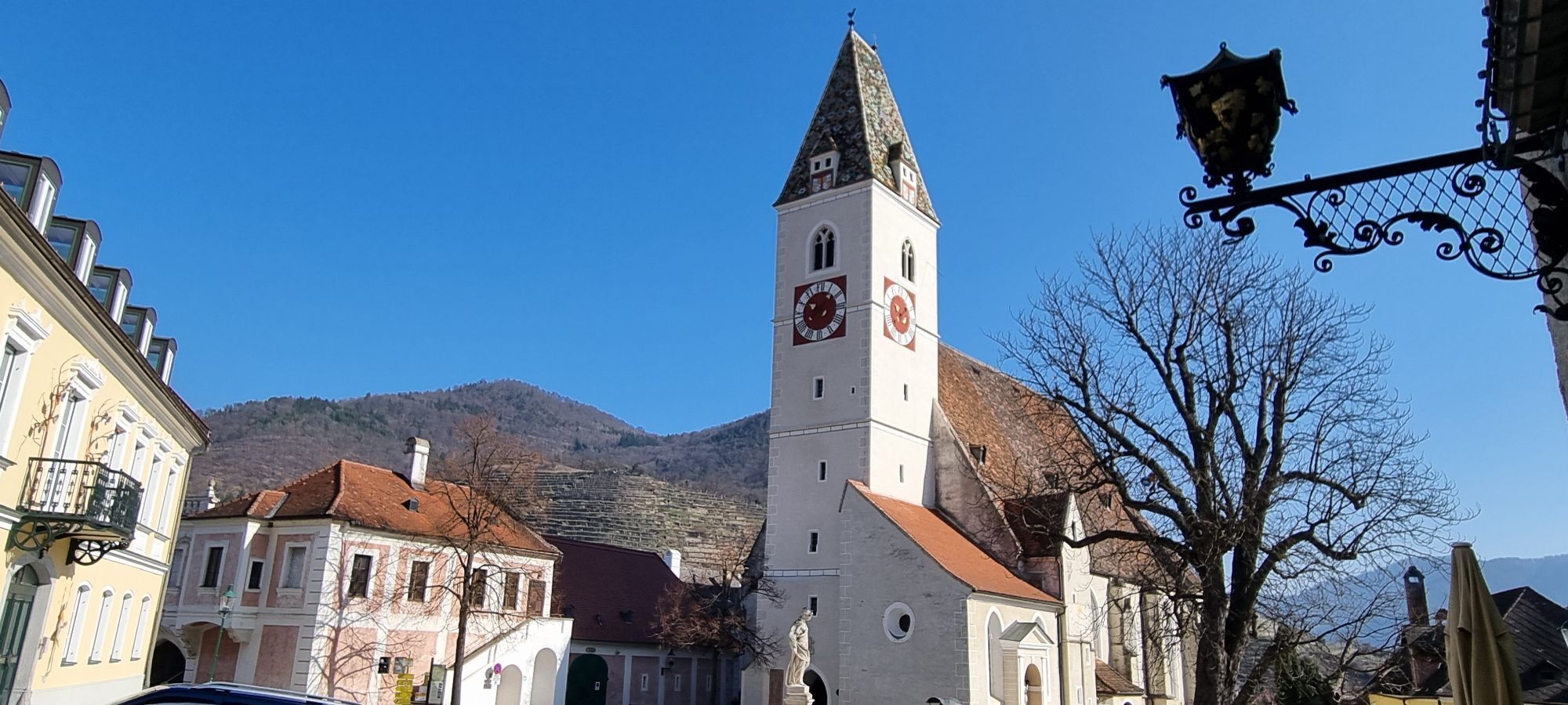
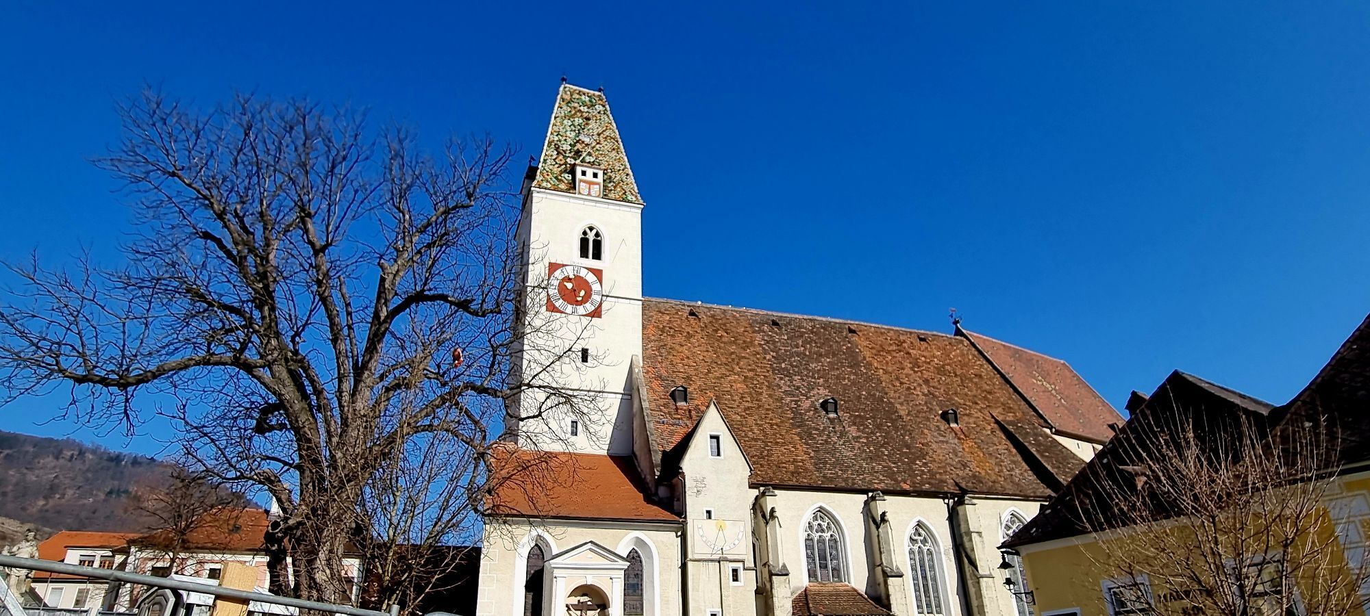
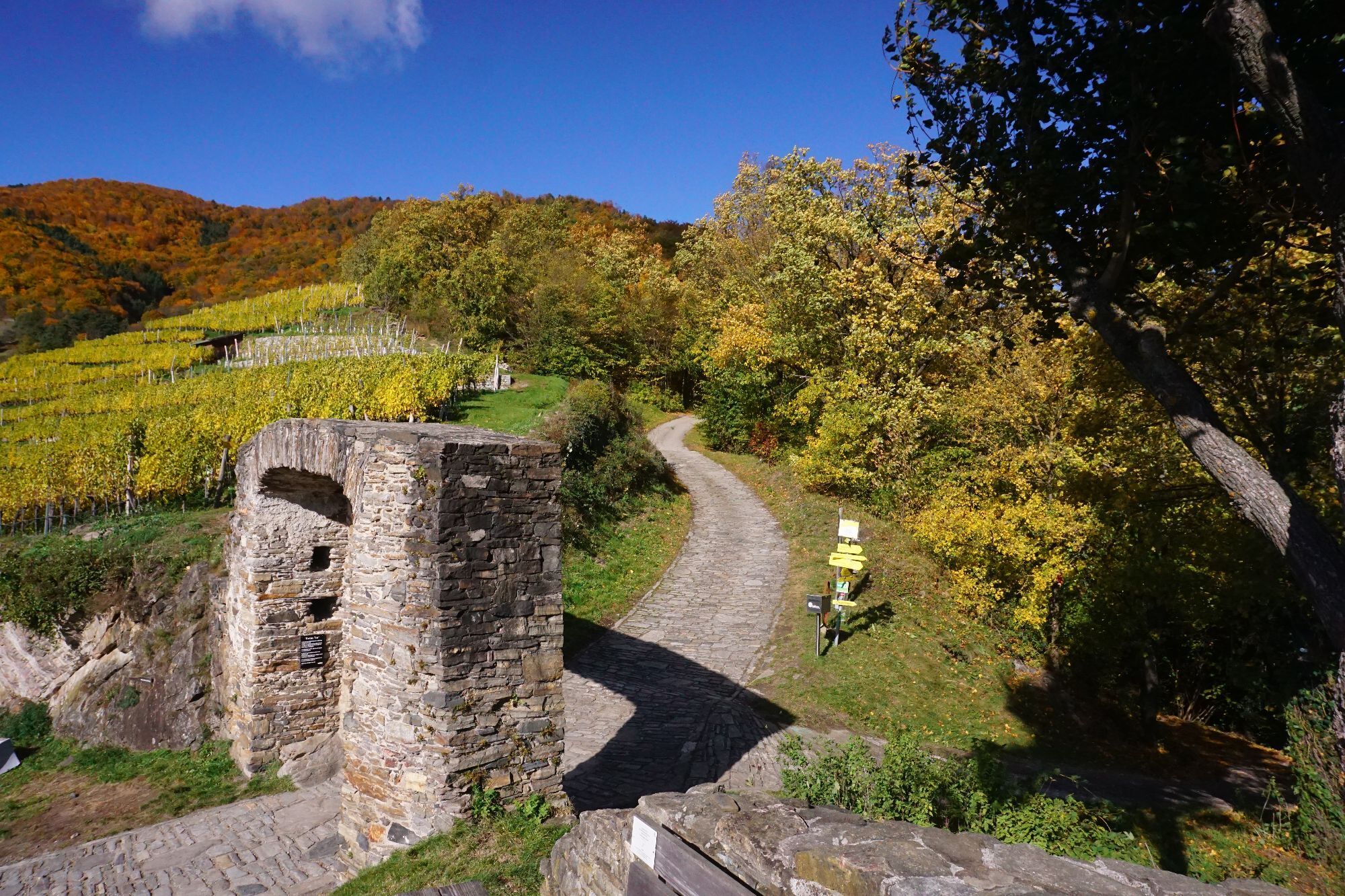
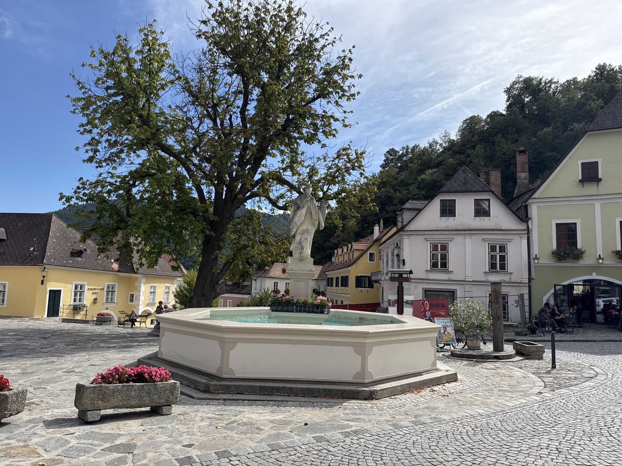
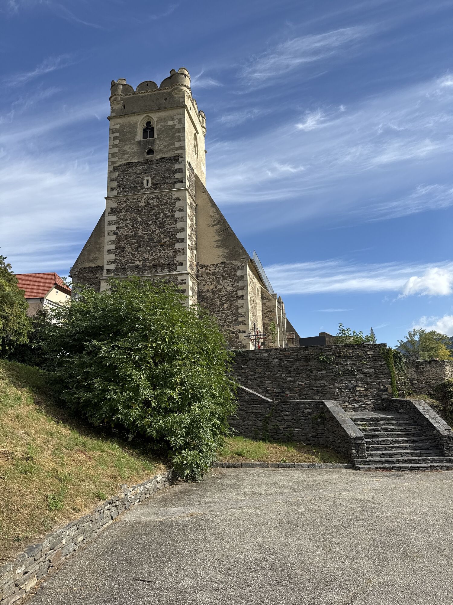
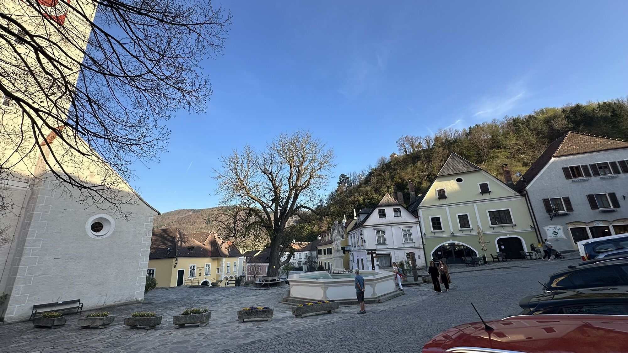
From the market square in Weißenkirchen, the Burgstiege stairway in Bachstraße leads up to the left to the Burgviertel, one of the oldest settlements in the Wachau region with Gothic vineyards and several wine taverns (stamp station: Heurigen Fam. Rosenberger). At the end of the Burgviertel, we walk down to the Lichtgartl and reach the vineyards. We cross Seiberstraße and arrive at Ried Ritzling. Here we turn right and walk past Ried Postaller up to the famous Riede Kollmitz. Please note the diversion: here we descend through the vineyards to Wösendorf and keep to the right at the bottom, on the main road towards St. Michael. Once there, we climb down the steps after the church and through a pedestrian underpass to the Danube. On the Treppelweg, we soon reach Spitz upstream on the Danube. Turn right into the town centre and after a short uphill stretch, we reach our destination for the day, the picturesque Spitzer Kirchenplatz.
Sturdy walking shoes, rain gear, sufficient drinks and food, a hiking map of the Wachau region and a wine tavern calendar. You can find an equipment list at www.welterbesteig.at under the heading Service/Tips.
There are no places to stop for refreshments or water sources along the route.
Wachau mountain rescue emergency number: 140
Best of Wachau: You’ll find the most renowned and highly recommended restaurants and lodging options in the Wachau UNESCO World Hertige site at Best of Wachau.
For more information on dining and lodging options, visit www.wachau.at. Please note the reduced winter hours for restaurants in Spitz and Weißenkirchen. For more details, visit: www.spitz-wachau.at and www.weissenkirchen-wachau.at.
Wine taverns are located in Weißenkirchen and Spitz. Several wine taverns are open in winter. Please check the current wine tavern calendar.
For easy and convenient tour planning, we recommend the Wachau-Nibelungengau-Krems Valley app. Simply download it for Android or iPhone.
Kamery internetowe z trasy

Popularne wycieczki w okolicy
- 4,4
Welterbesteig Wachau 02: Dürnstein-Weißenkirchen
światłodługodystansowy szlak pieszy 15,9 km - 4,5
Welterbesteig Wachau 03: Weißenkirchen-Spitz
światłodługodystansowy szlak pieszy 10,4 km - 4,7
Welterbesteig Wachau 01: Krems-Dürnstein
światłodługodystansowy szlak pieszy 12,3 km - 4,8
Vogelbergsteig -Kanzel- Fesselhütte - Ruine Dürnstein zum Heurigen in Furth
średniWędrówka 7,59 km - 4,7
Wachau: Seekopf - Hirschwand
średniWędrówka 10,4 km - 4,7
Rundhöhenwanderweg Weißenkirchen in der Wachau - Schildhütten - Cholerakreuz - Weißenkirchen
światłoWędrówka 8,70 km - 4,6
Krems (Welterbesteig) - Dürnstein - Vogelbergsteig - Kanzel - Fesslhütte - Krems
średniWędrówka 18,0 km - 4,6
AGGSTEIN Ruine, Aggstein, Druidentürme und zurück 20241019
średniWędrówka 7,50 km - 4,6
Maria Langegg - Rote Wand - Hoher Stein - Kastlkreuz
średniWędrówka 11,4 km - 4,5
Panoramaweg Weissenkirchen
światłoWędrówka 5,04 km
Wędrówki i tropienie


Nie przegap ofert i inspiracji na następne wakacje
Twój adres e-mail została dodana do listy mailingowej.





