






Herzerlweg über Karnreith

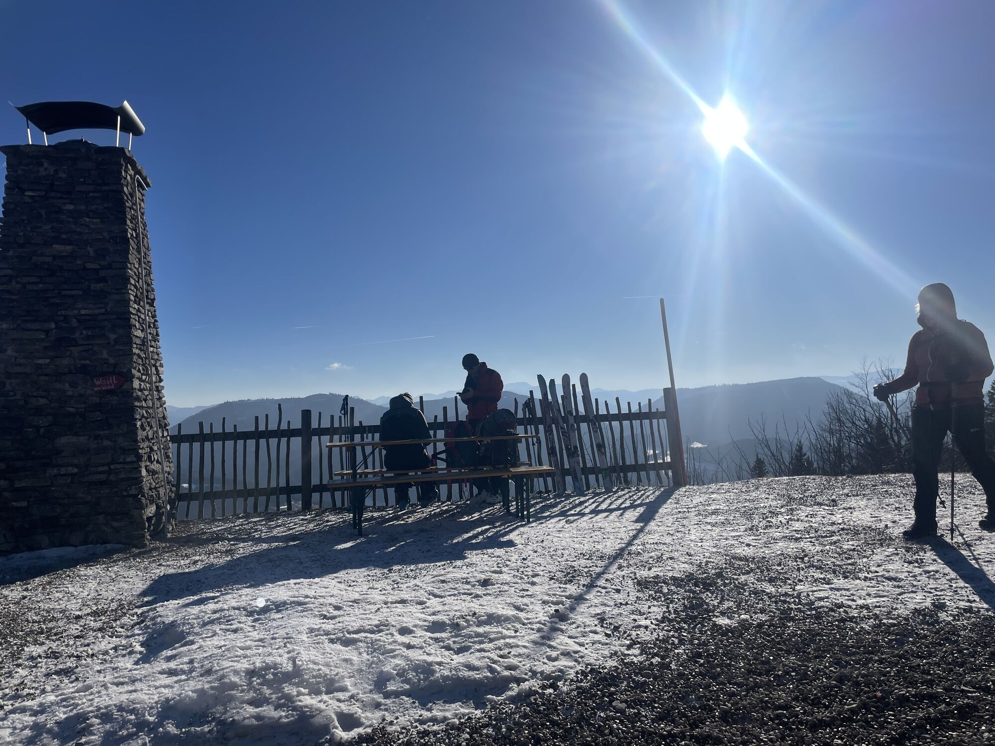
A leisurely and rewarding hike up to the Hennesteck via the Herzerlweg “Karnreith” trail. The trail takes about two hours to reach the Anna-Alm and the zipline’s summit station. The route is hardly challenging—if...
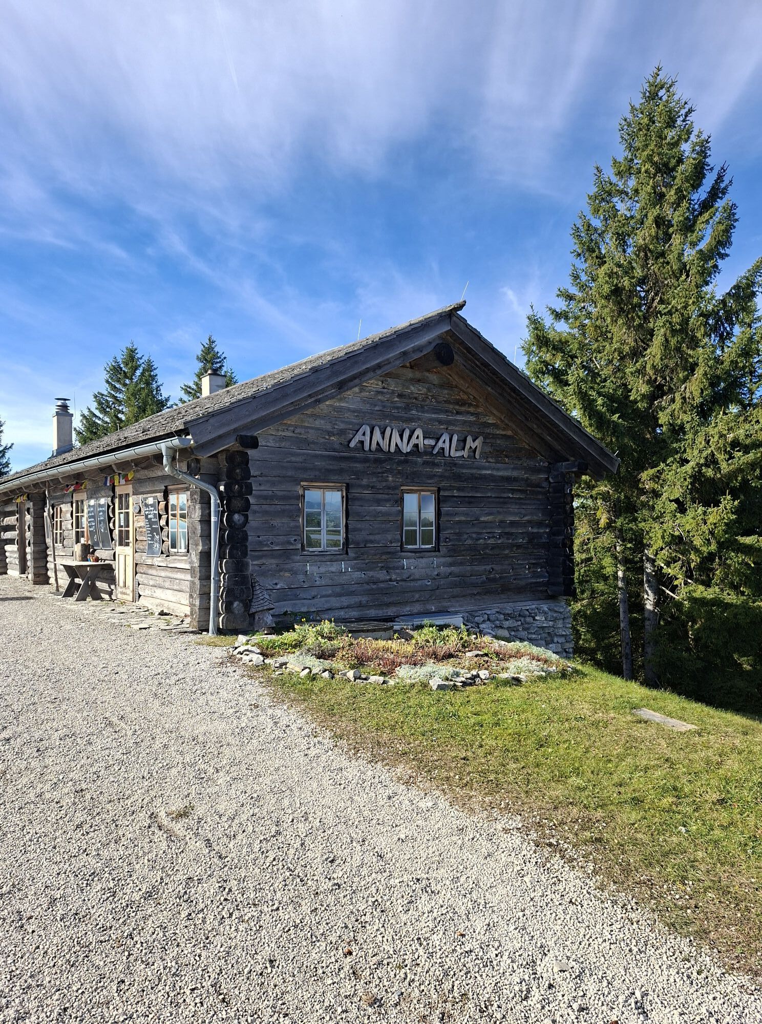
A leisurely and rewarding hike up to the Hennesteck via the Herzerlweg “Karnreith” trail. The trail takes about two hours to reach the Anna-Alm and the zipline’s summit station. The route is hardly challenging—if at all—and climbs only slightly and steadily.

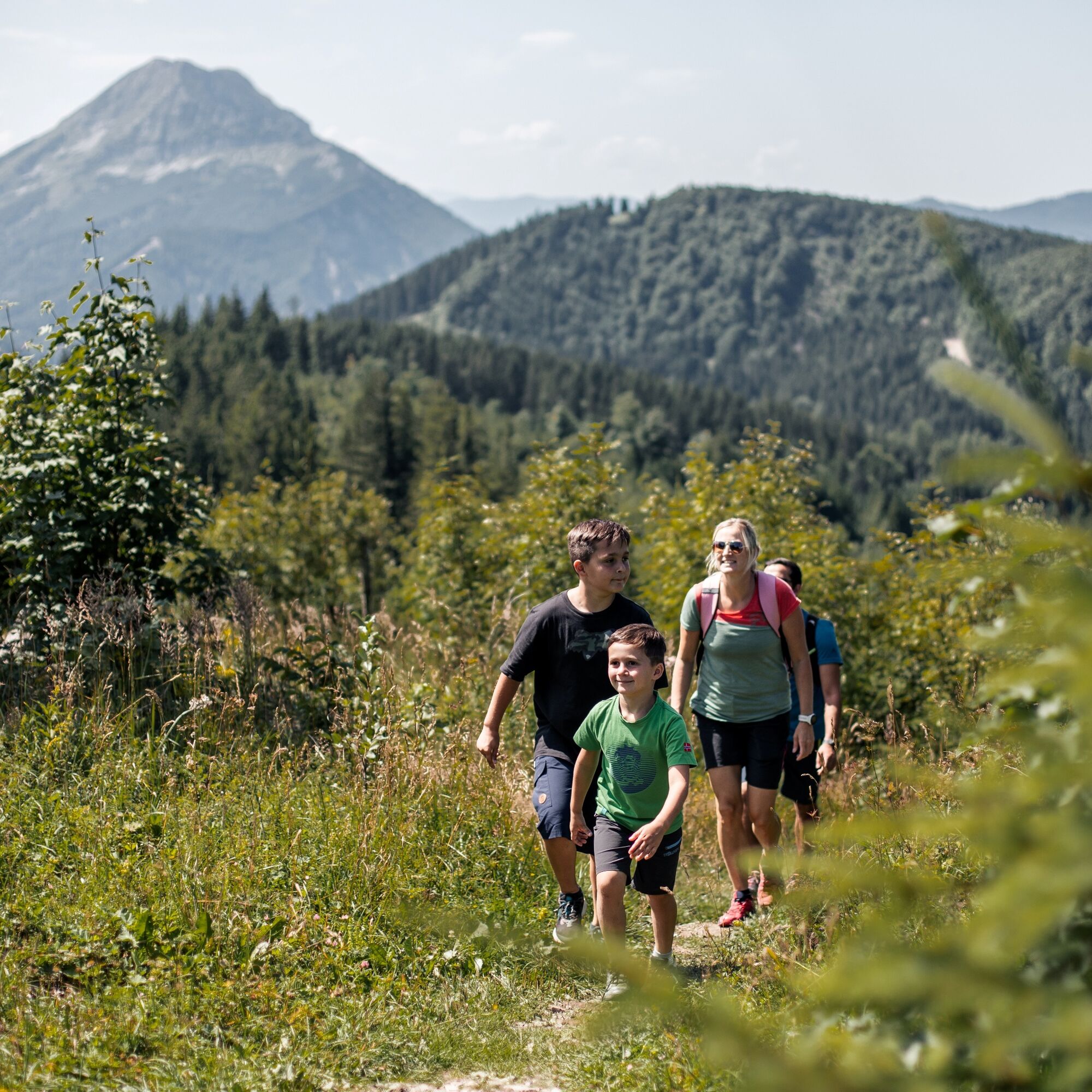
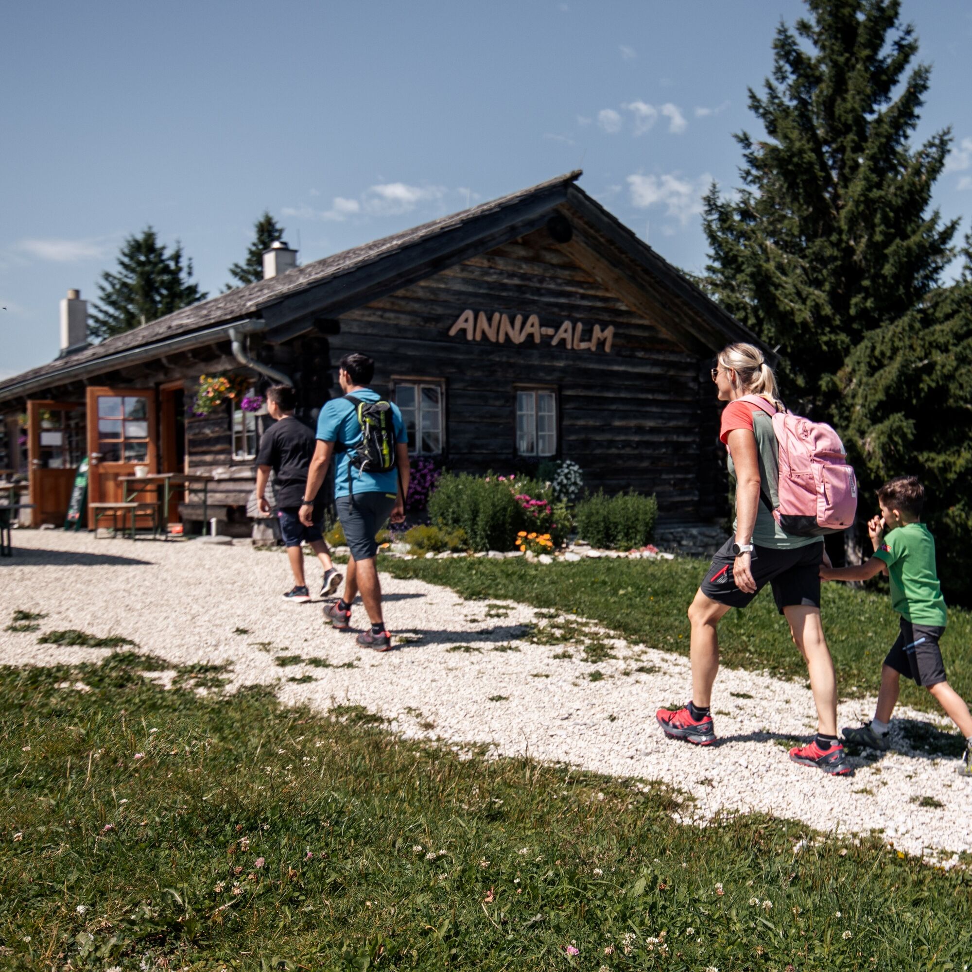
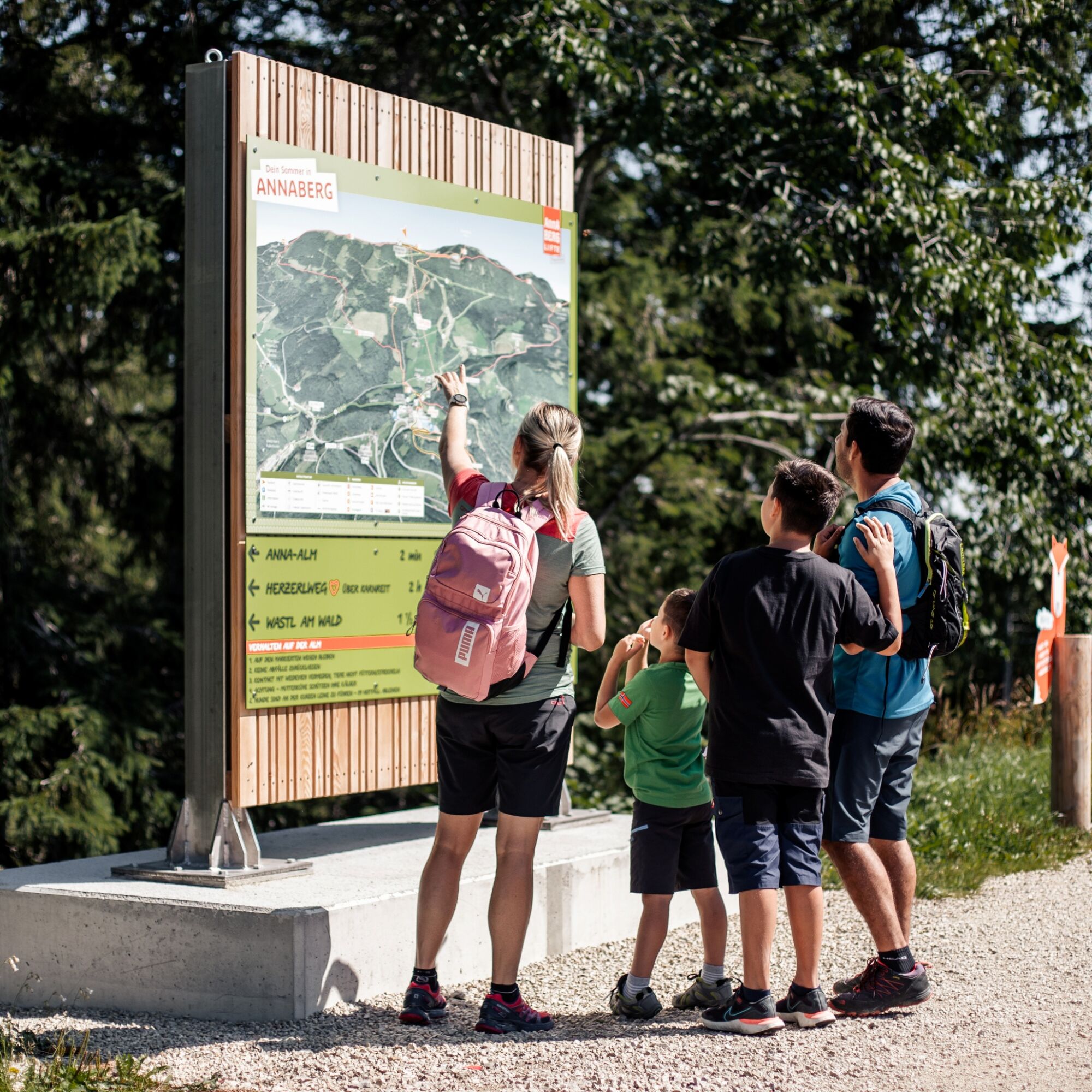

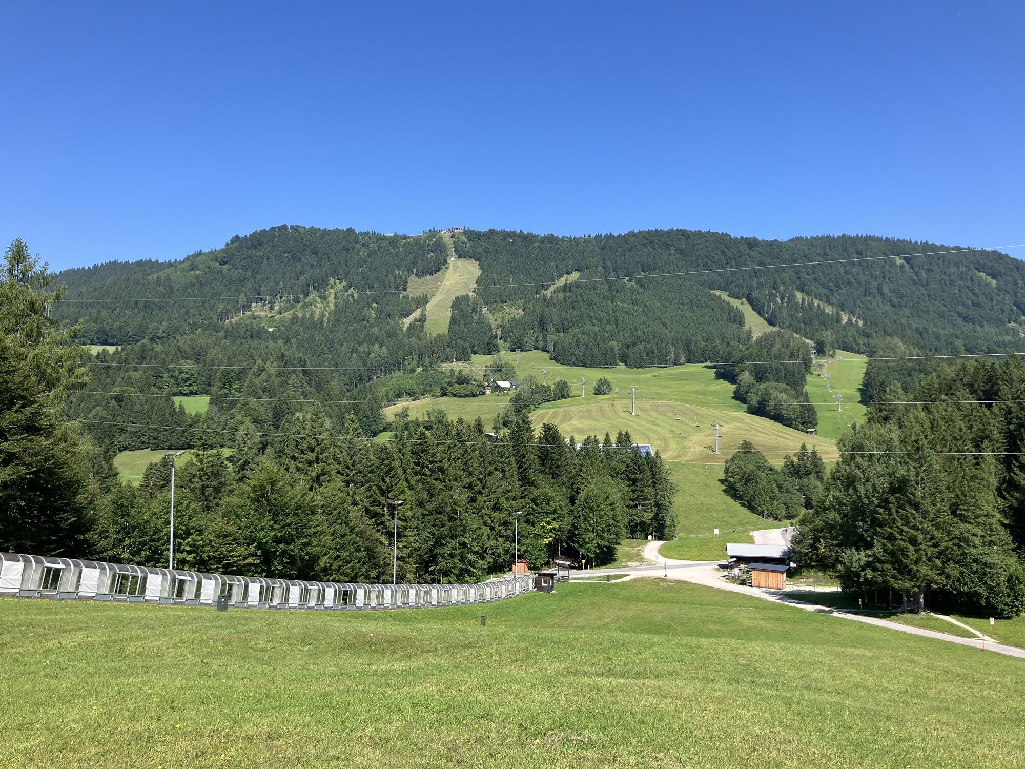
We start at the parking lot and follow the signs toward the chair lift. Once we reach the valley—at the mountain rescue hut or the valley station of the Tellerlift—we keep to the left and follow the signs for “Herzerlweg via Karnreith.”
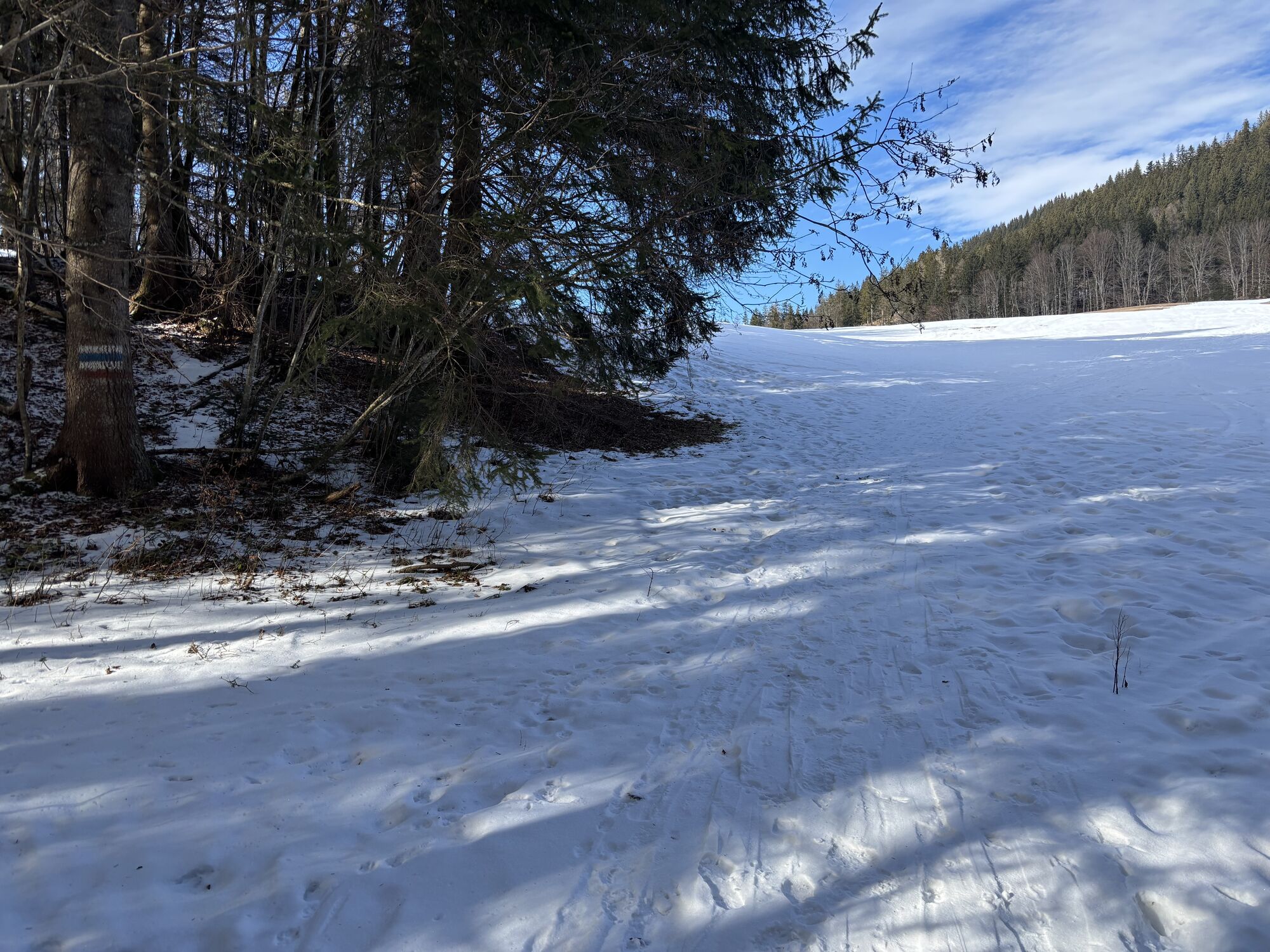
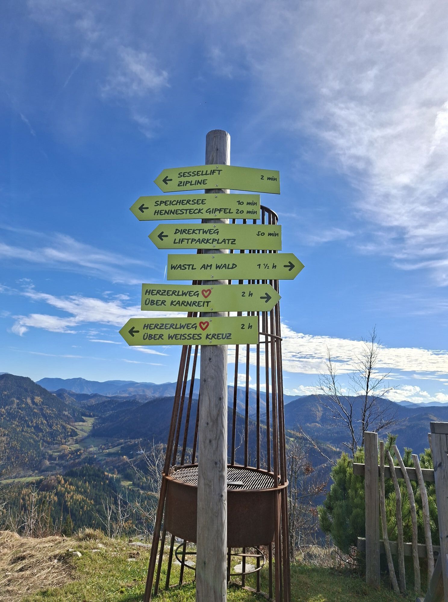
At first, the route follows the local road. We pass the Stadlerhof on the right before turning right uphill. After about half a kilometer, we leave the road and turn left onto a forest trail. At the next fork, we keep left again. The red hearts reliably mark the course of the Herzerlweg.
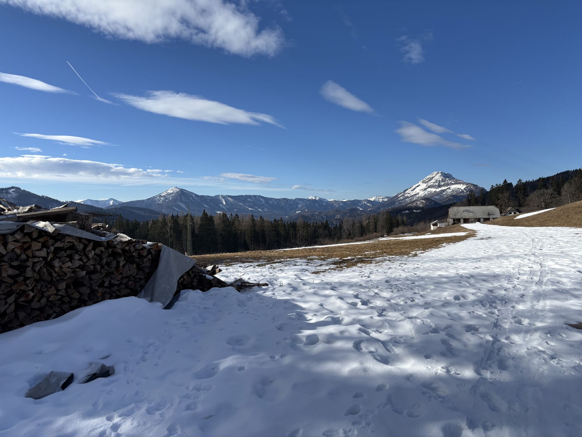
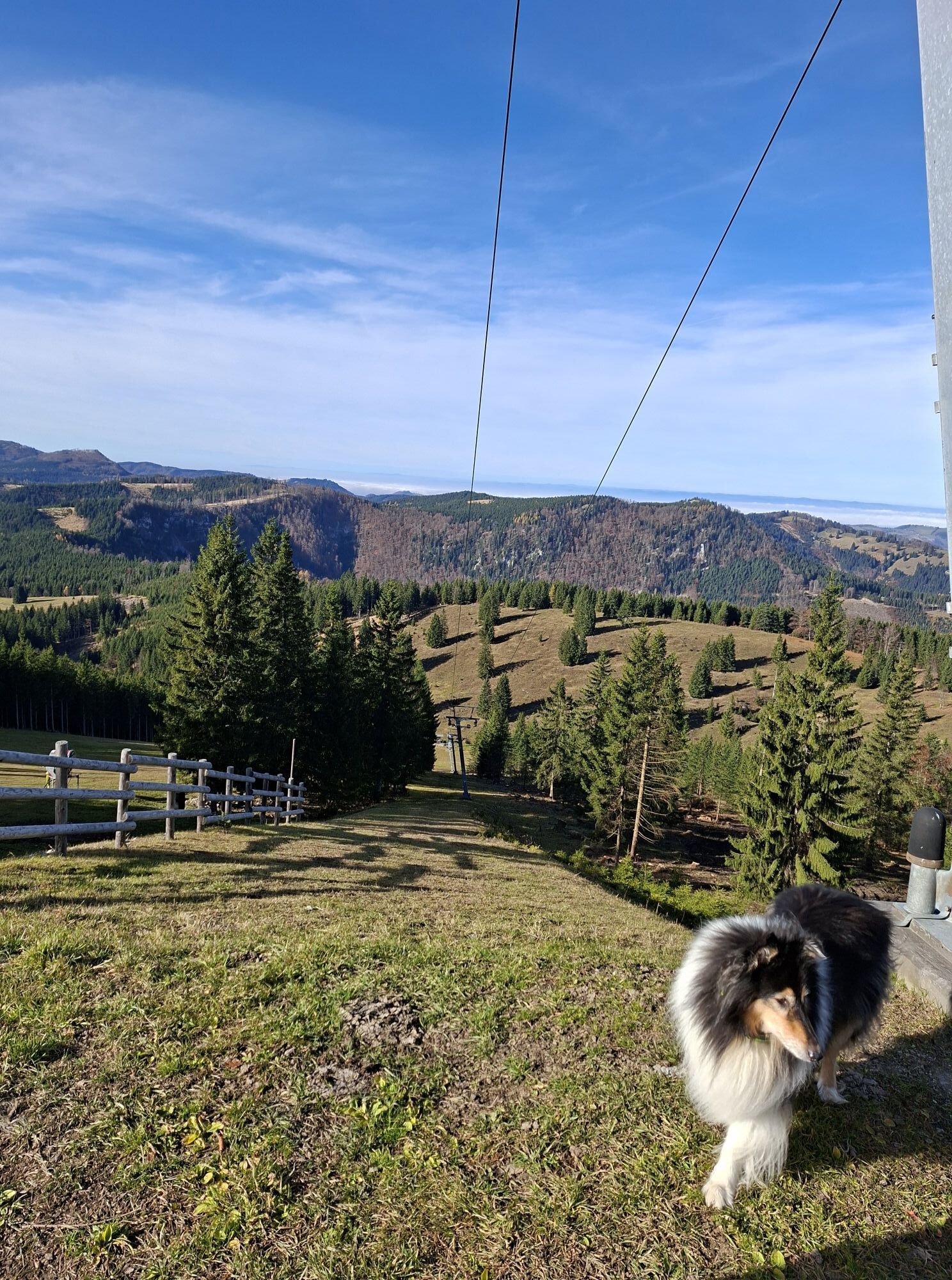
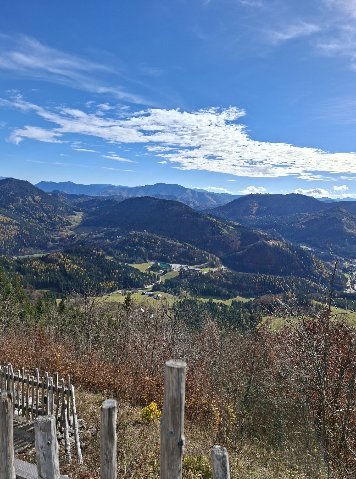
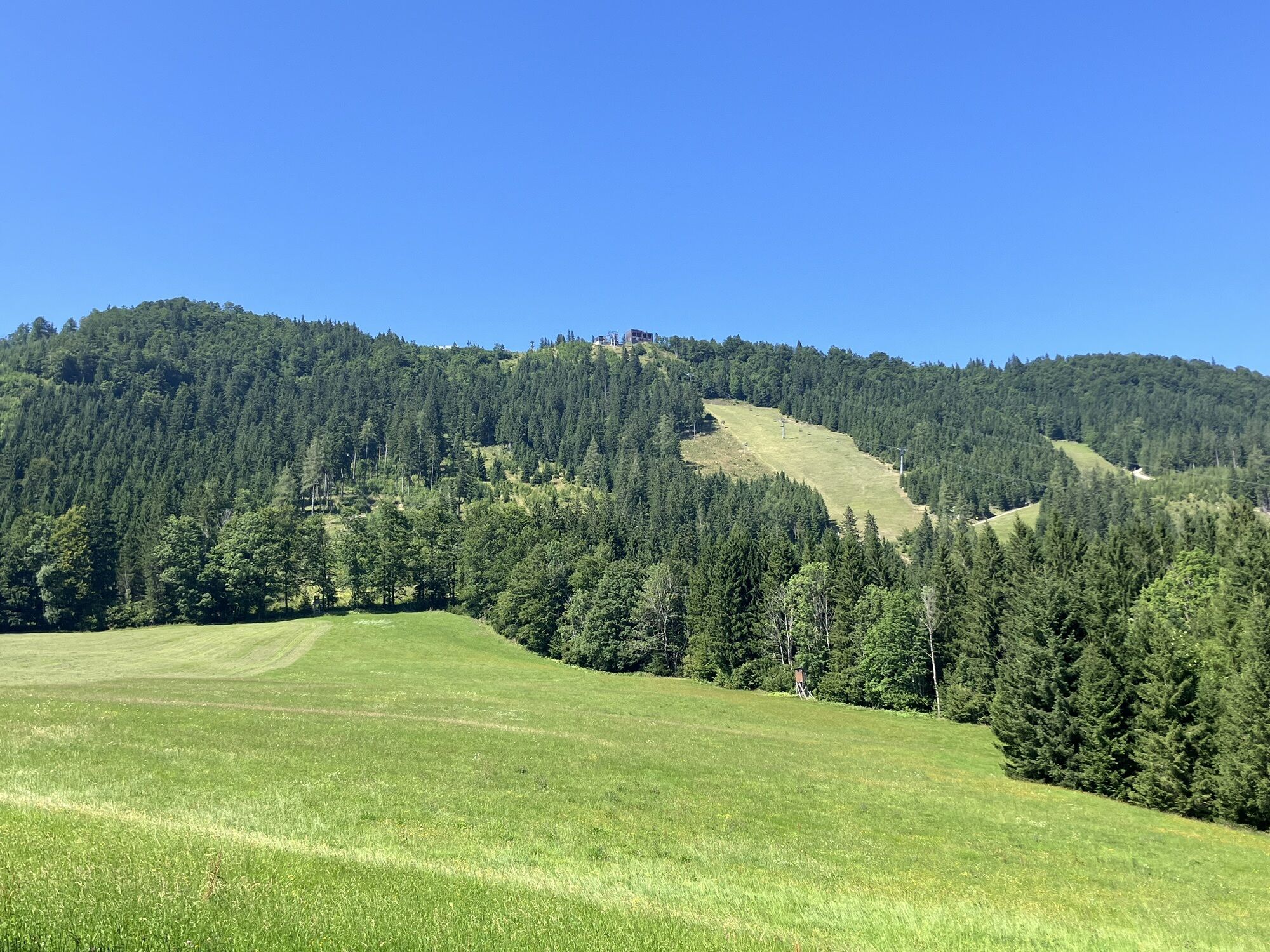
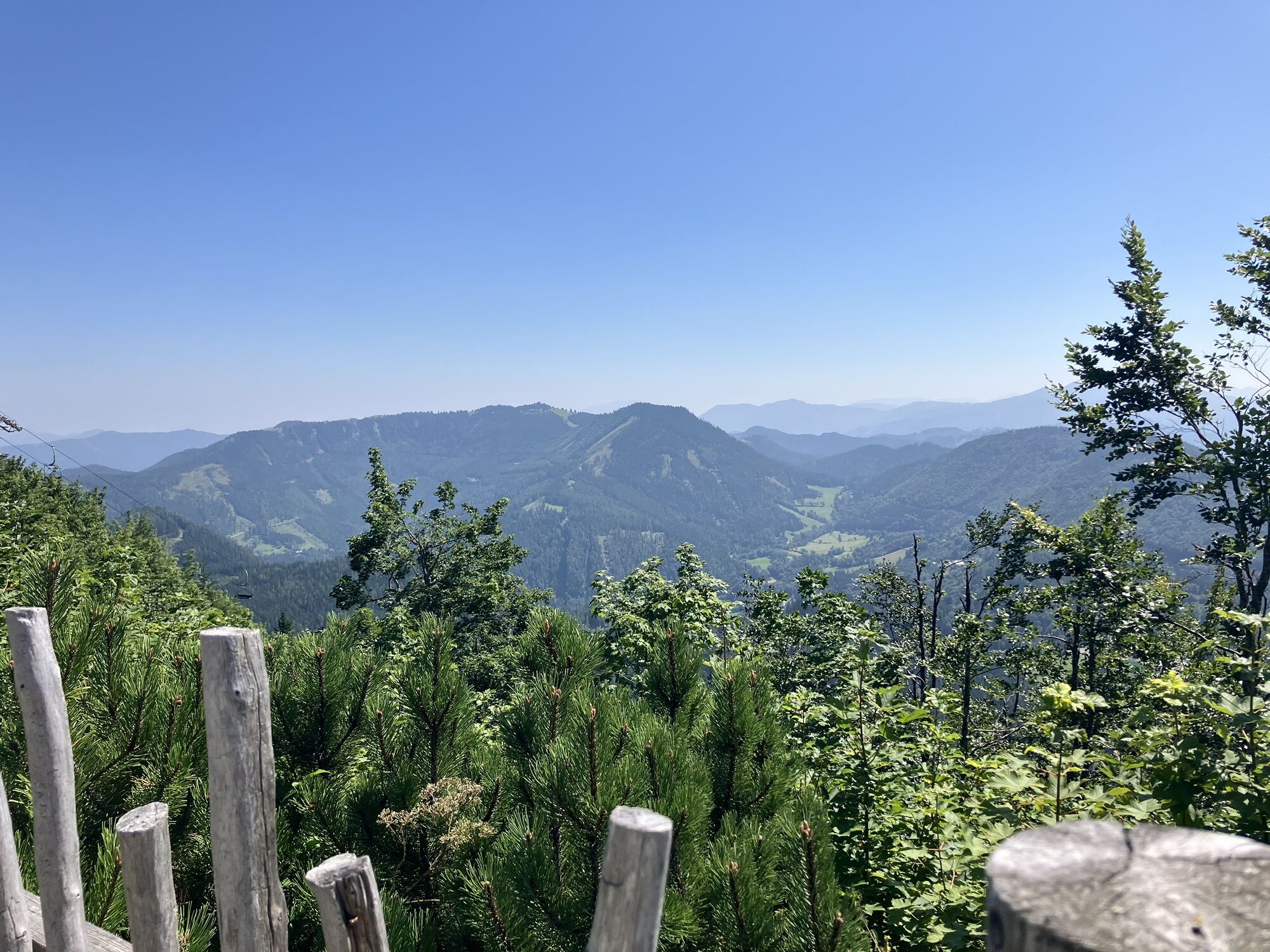
After the wooded section, a beautiful alpine meadow opens up with a magnificent view of the zipline’s summit station and the Ötscher, before the trail leads back into the forest. From here on, the trail climbs steadily uphill. Forest trails and logging roads alternate, and with a bit of luck, we might even come across cows or horses here.
At the Wastl am Wald / Anna-Alm junction, we keep to the right and follow the red heart markings to the Anna-Alm.
At a crossroads, we keep to the left; immediately afterward, a trail on the right takes us up the final few meters in elevation directly to our destination.
Appropriate footwear, standard mountaineering and hiking gear
Traveling by car gives you flexibility and takes you straight to your destination.
Annaberg is located in the Mostviertel region of Lower Austria and can be reached in about an hour from St. Pölten via the B20 and the Traisental valley. You’ll find parking right next to the Annaberg lifts.
Take the Mariazellerbahn to the Reith train station—then continue on foot or by bike
Parking Lot 1 at the Annaberg Lifts - Please note: Parking fees apply (free parking with a lift or zipline ticket)
Before your trip, make sure that the Anna-Alm and Zipline Annaberg are open!
Kamery internetowe z trasy

Aktywności na trasie


Popularne wycieczki w okolicy
- 4,7
Gemeindealpe
średniWędrówka 13,5 km - 5,0
Von Lackenhof auf den Ötscher
światłoWędrówka 5,29 km - 4,9
Lassingfall - Ötscherhias - Erlaufklause
średniWędrówka 8,20 km - 4,9
Lackenhof ÖTSCHER Rauer Kamm 19.10.2014
ciężkiWędrówka 14,1 km - 4,8
Naturpark Ötscher-Tormäuer Wienerbruck
światłoWędrówka 6,06 km - 4,7
Trefflingfall über Hochbärneckhütte
średniWędrówka 12,2 km - 4,6
Rund um die Mariazeller Bürgeralpe (694 und 692)
średniWędrówka 9,04 km - 4,7
Erlaufsee-Rundweg
światłoWędrówka 5,37 km - 4,6
Türnitz - Eisenstein Türnitz, Niederösterreich
średniWędrówka 15,5 km - 4,6
Ötschergräben Runde über Wienerbruck, Josefsberg und Erlaufsee
światłoWędrówka 16,8 km
Wędrówki i tropienie


Nie przegap ofert i inspiracji na następne wakacje
Twój adres e-mail została dodana do listy mailingowej.





