






Gipfelklänge 2026 - Wanderung Samstag

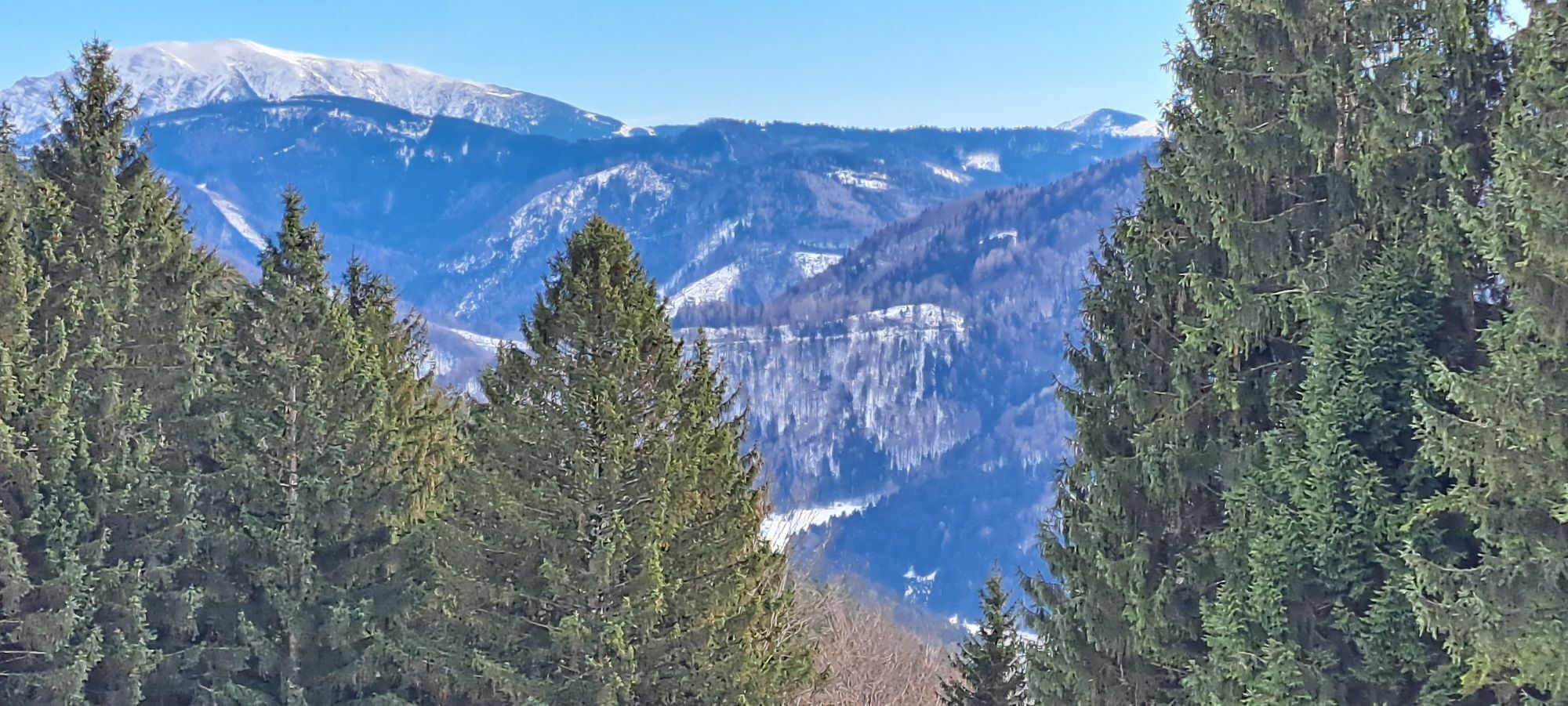
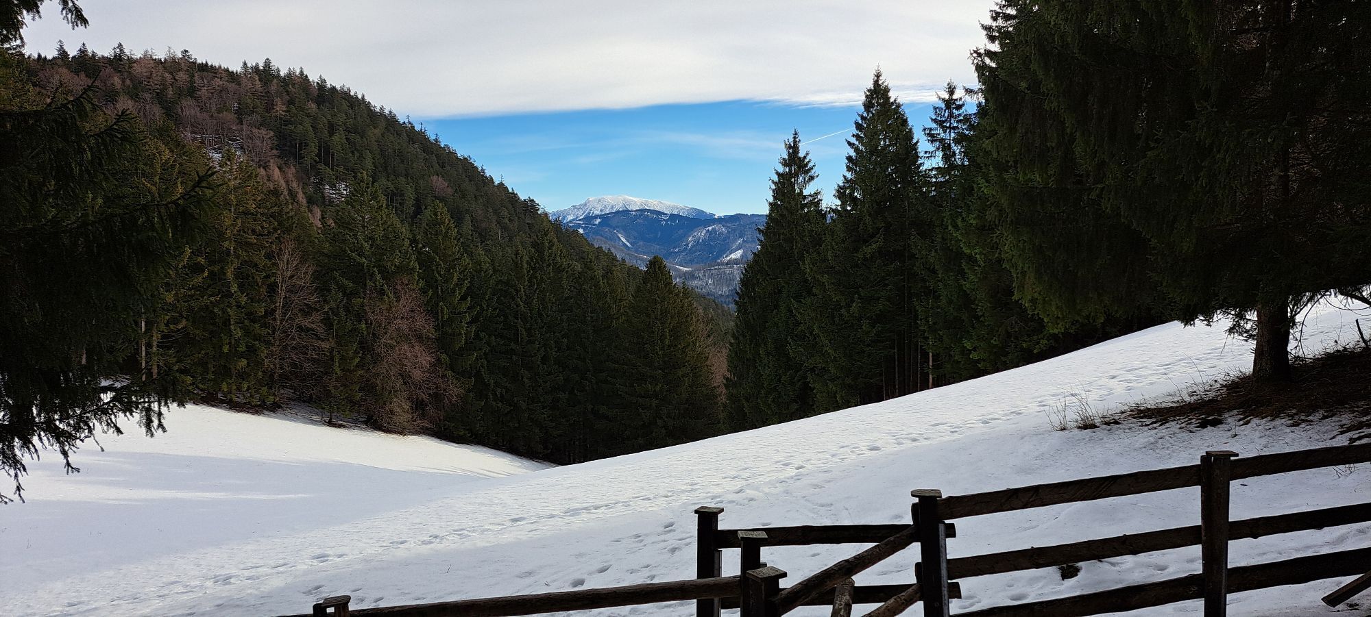
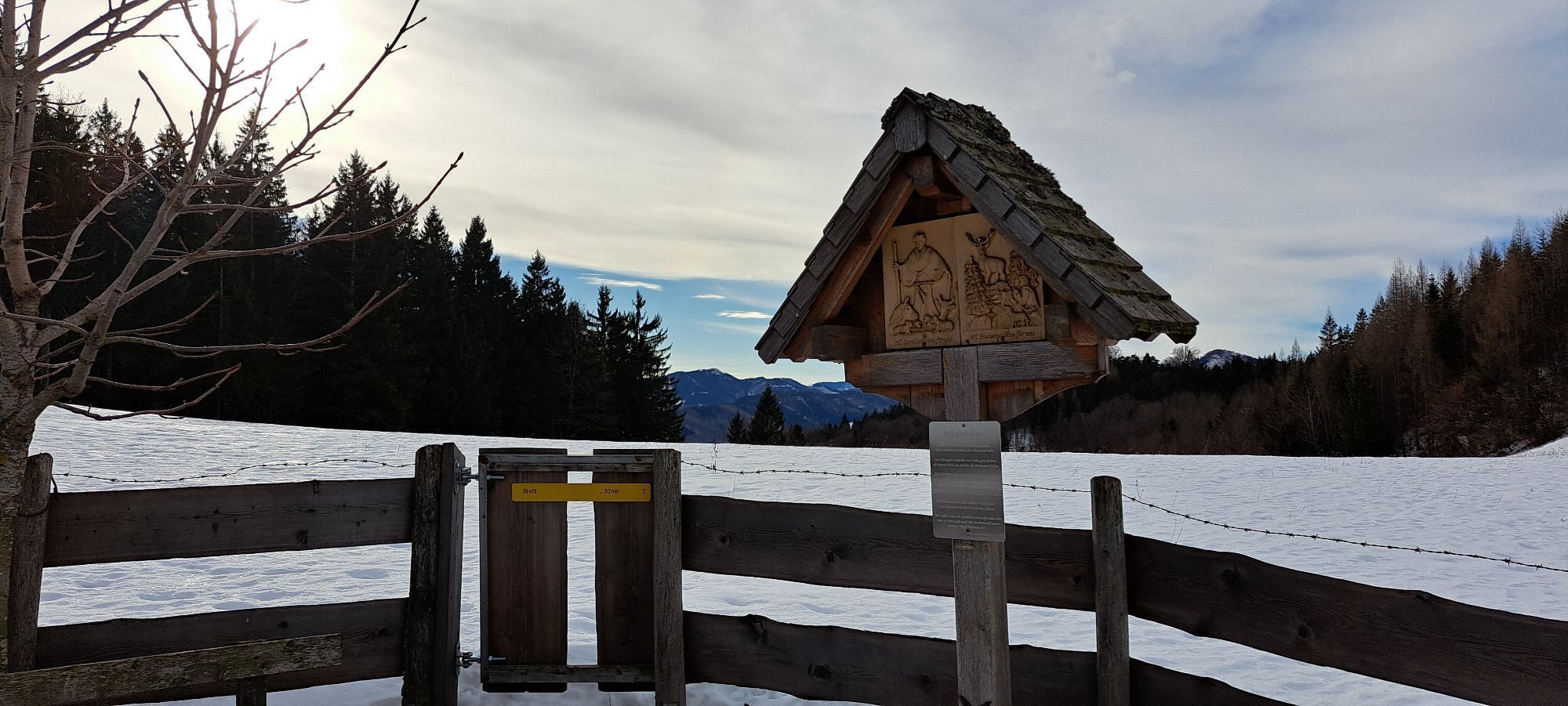
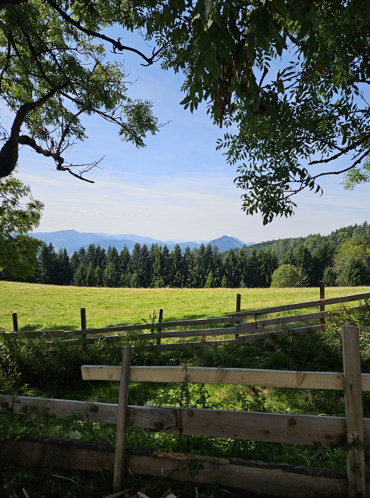
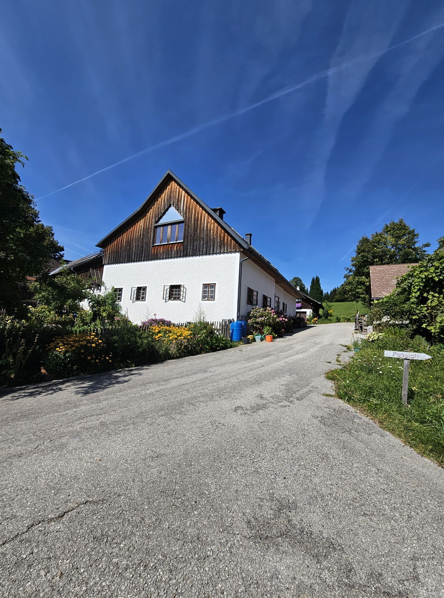
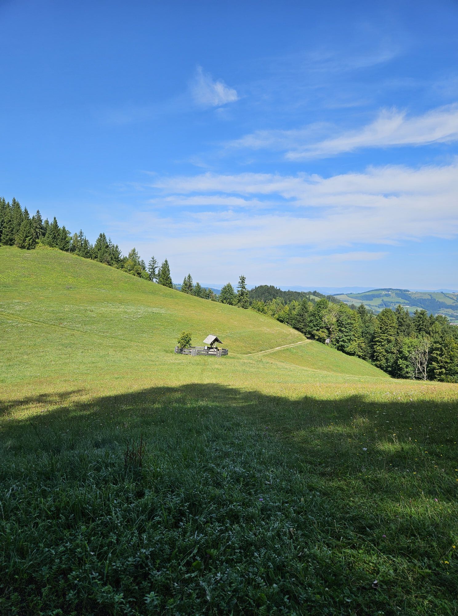
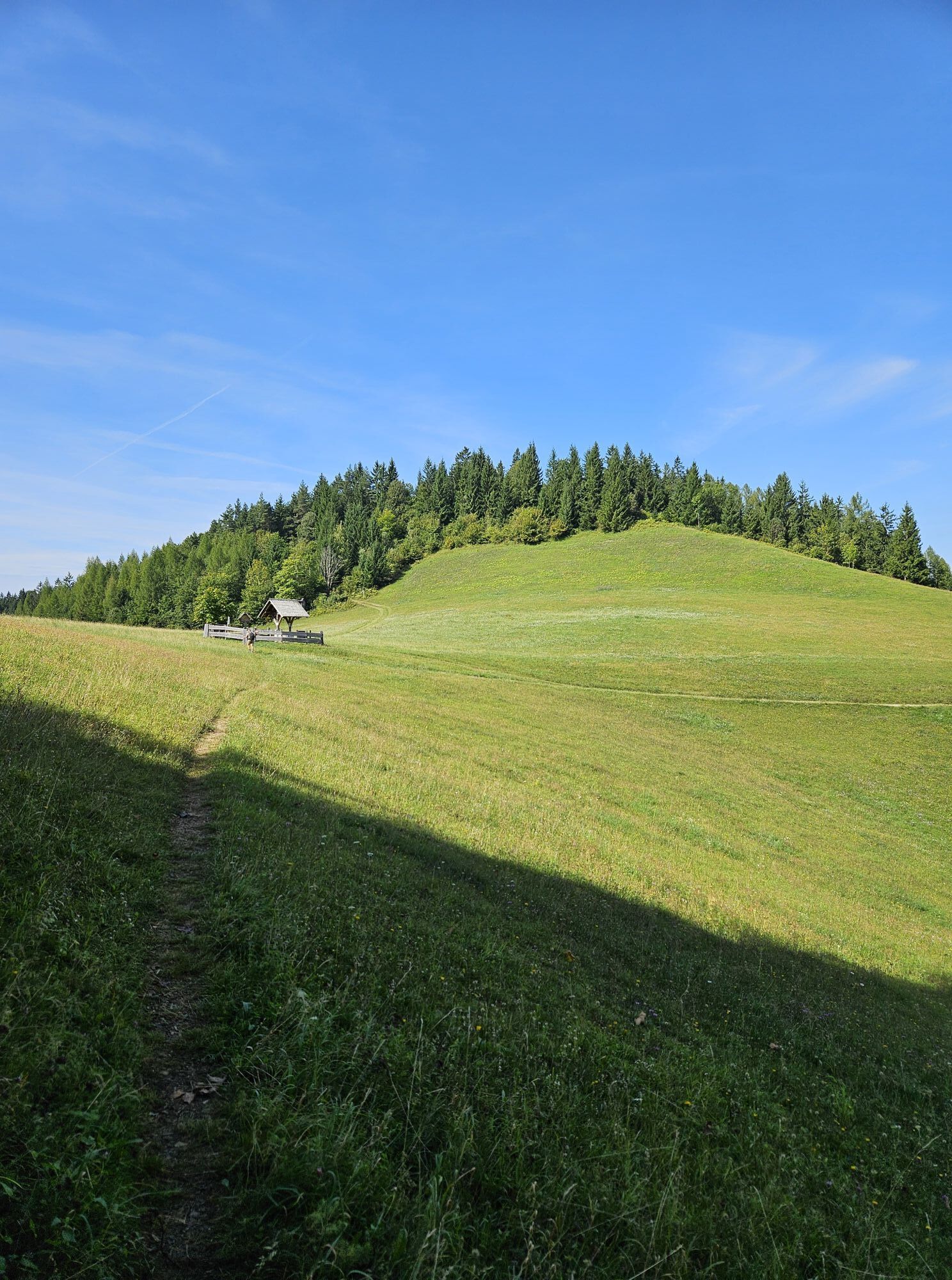
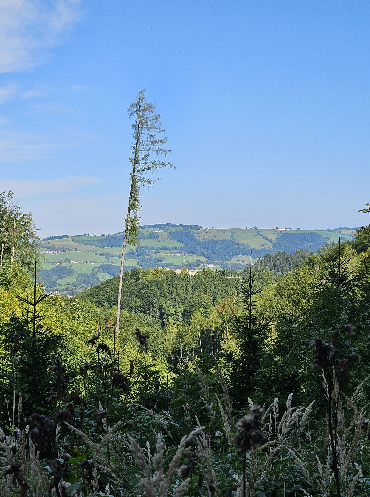
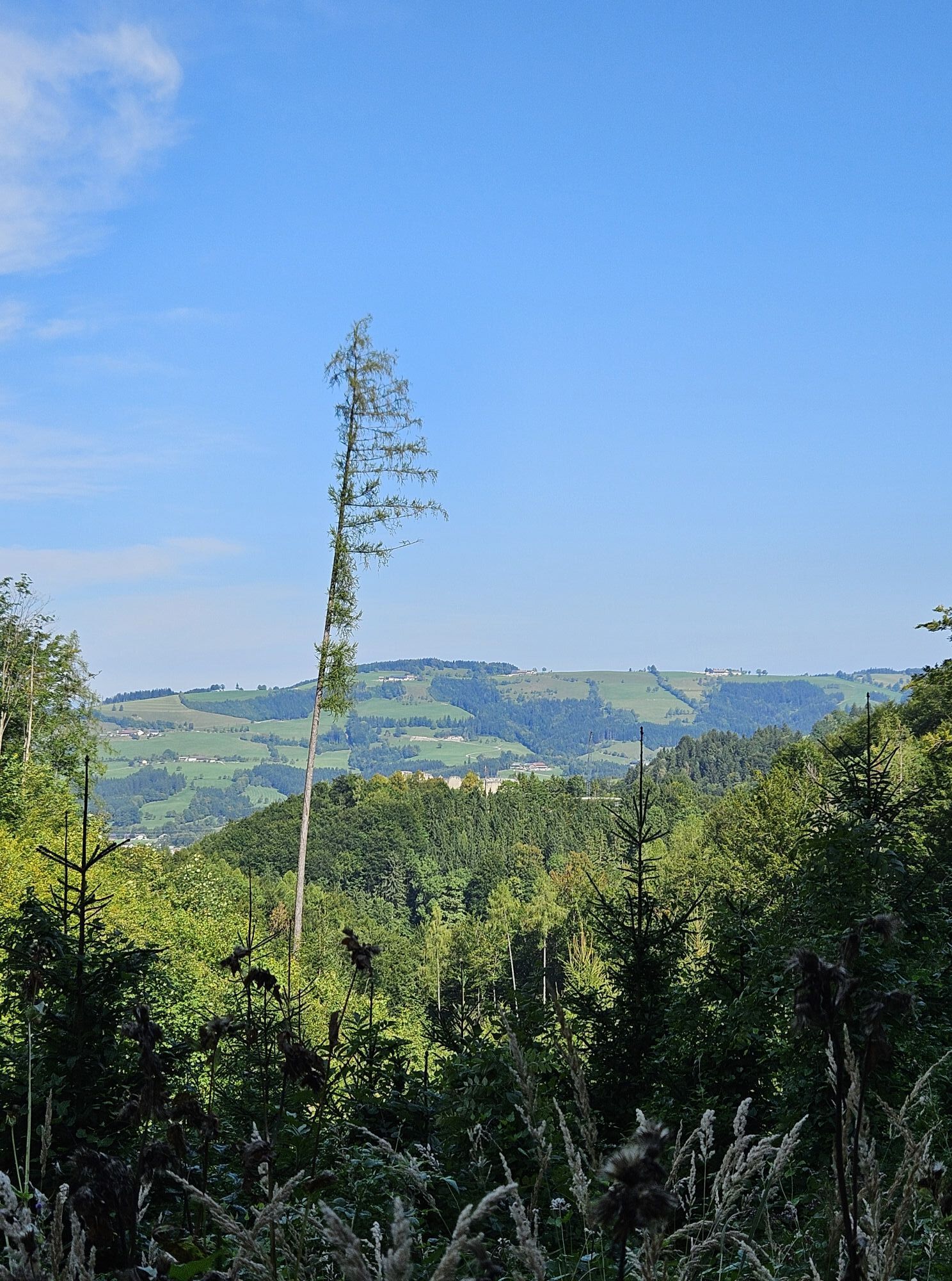
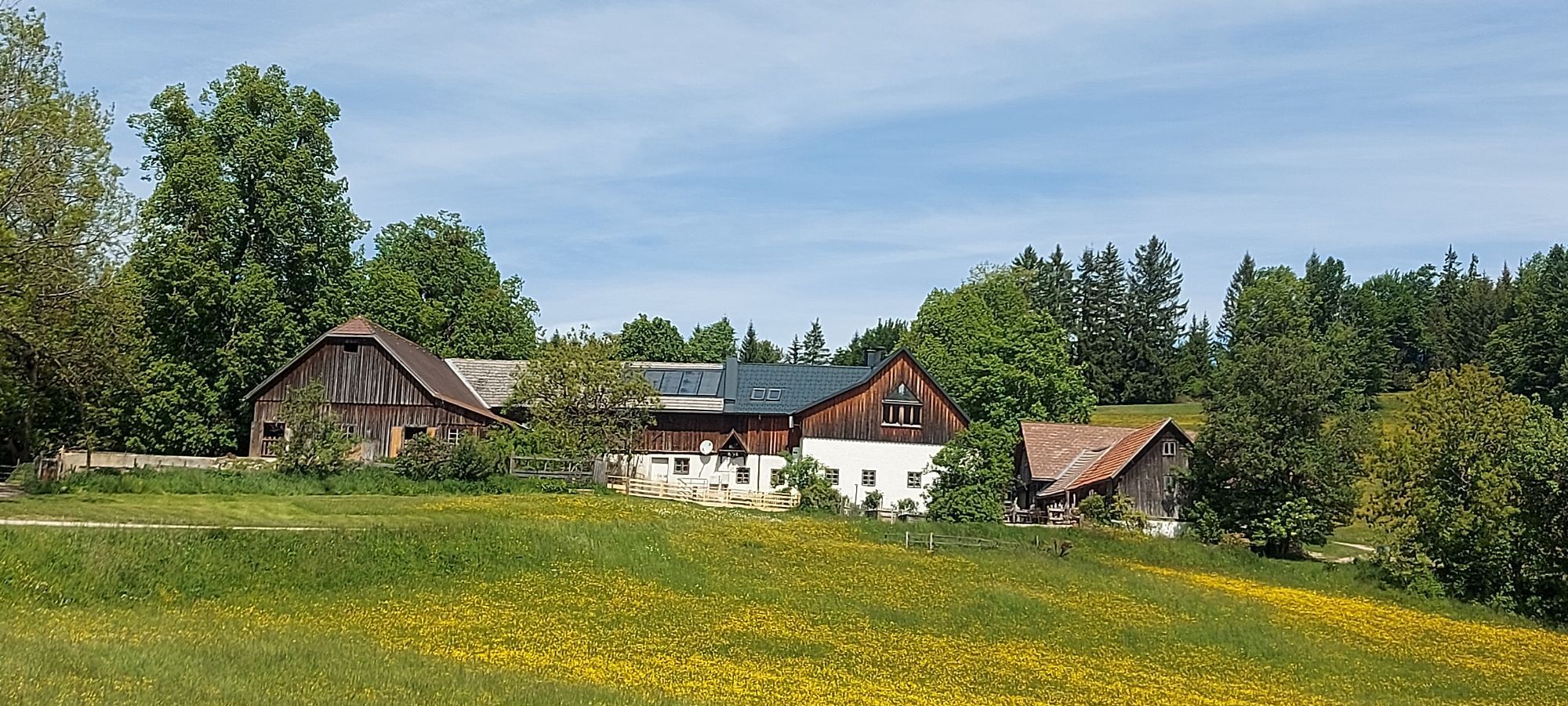
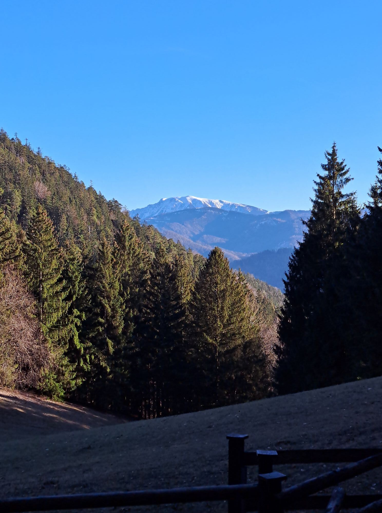

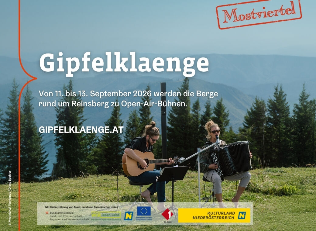
Following historic trails: At the Reinsberg Castle Ruins, the Jelly Duo will kick off the hiking day with a musical performance. The route then continues via Hochschlag and the Diensbergsattel to the Höhenberg,...
Following historic trails: At the Reinsberg Castle Ruins, the Jelly Duo will kick off the hiking day with a musical performance. The route then continues via Hochschlag and the Diensbergsattel to the Höhenberg, where hikers can enjoy a well-deserved lunch break accompanied by the music of Luomoduo from Finland. The route then heads back downhill via Frauenstein to the Reinsberg Castle Ruins.
For complete information on the program and artists of Gipfelklänge 2026, visit www.gipfelklaenge.at!


Reinsberg Castle Ruins – Hochschlag – Diensbergsattel – Höhenberg – Frauenstein – Reinsberg Castle Ruins
Sturdy shoes, sunscreen, and water.
Also: Hiking poles help you walk, provide better balance, and thus make hiking safer.
Reinsberg Castle Ruins
Burggasse 40
3264 Reinsberg
To help preserve our pristine mountain landscape and protect the climate, we encourage you to travel to the Gipfelklaengen by public transportation, electric vehicles, or the ÖBB “Rail&Drive” service, or to carpool.
Below you’ll find a summary of all the information you need to get to Reinsberg:
TRAVELING BY PUBLIC TRANSPORT
Take the train to Amstetten or Sankt Pölten Central Station, and from there, take a climate-friendly electric vehicle from Rail & Drive.
CARPOOL AND SAVE GAS
Travel to the Gipfelklaengen in an eco-friendly way and get in the mood on the way there: Find a ride that works for you or share your available seats in your car. Use the carpooling platform at www.gipfelklaenge.at
BY CAR
Directions from Vienna or Linz:
A1 Highway – Ybbs Exit (Exit 100), take B25 toward Scheibbs; after about 19 km, turn right toward Gresten (B22); after about 8 km, turn left
Burgarena: To reach the Burgarena Reinsberg, turn right at the Landgasthaus Stadler and follow the signs.
There is a large parking lot below the Burgarena at Burgsattel.
www.gipfelklaenge.at


Popularne wycieczki w okolicy
-
4,4
Das 3 Seen-Erlebnis (Lunzer See - Mittersee - Obersee)
średniWędrówka 9,33 km -
4,3
Rund um den smaragdgrünen Lunzer See
światłoWędrówka 4,80 km -
4,7
Trefflingfall über Hochbärneckhütte
średniWędrówka 12,2 km -
4,7
Erlaufschlucht
światłoCanyoning 4,58 km -
5,0
Prochenbergrunde
średniWędrówka 5,96 km -
4,5
Gföhler Alm - Rainstock - Schleierfall
średniWędrówka 13,6 km -
5,0
2-Tages Tour: Lunzer See - Dürrenstein - Ybbstalerhütte - Lunzer See (Tag 2/2)
średniWędrówka 12,4 km -
4,5
Kappleralm Runde
światłoWędrówka 6,65 km -
4,3
Prochenberg von Ybbsitz
światłoWędrówka 6,29 km -
4,7
Hochbärneckrunde
średniWędrówka 10,1 km
Wędrówki i tropienie


Nie przegap ofert i inspiracji na następne wakacje
Twój adres e-mail została dodana do listy mailingowej.





