


Long-Distance Trail Kremstal-Donau 04: Paudorf - Hollenburg

The hike from Paudorf to Hollenburg starts right in the center of Paudorf . From there, you follow the impressive sculpture trail towards your destination. In addition to the unique wooden sculptures along...
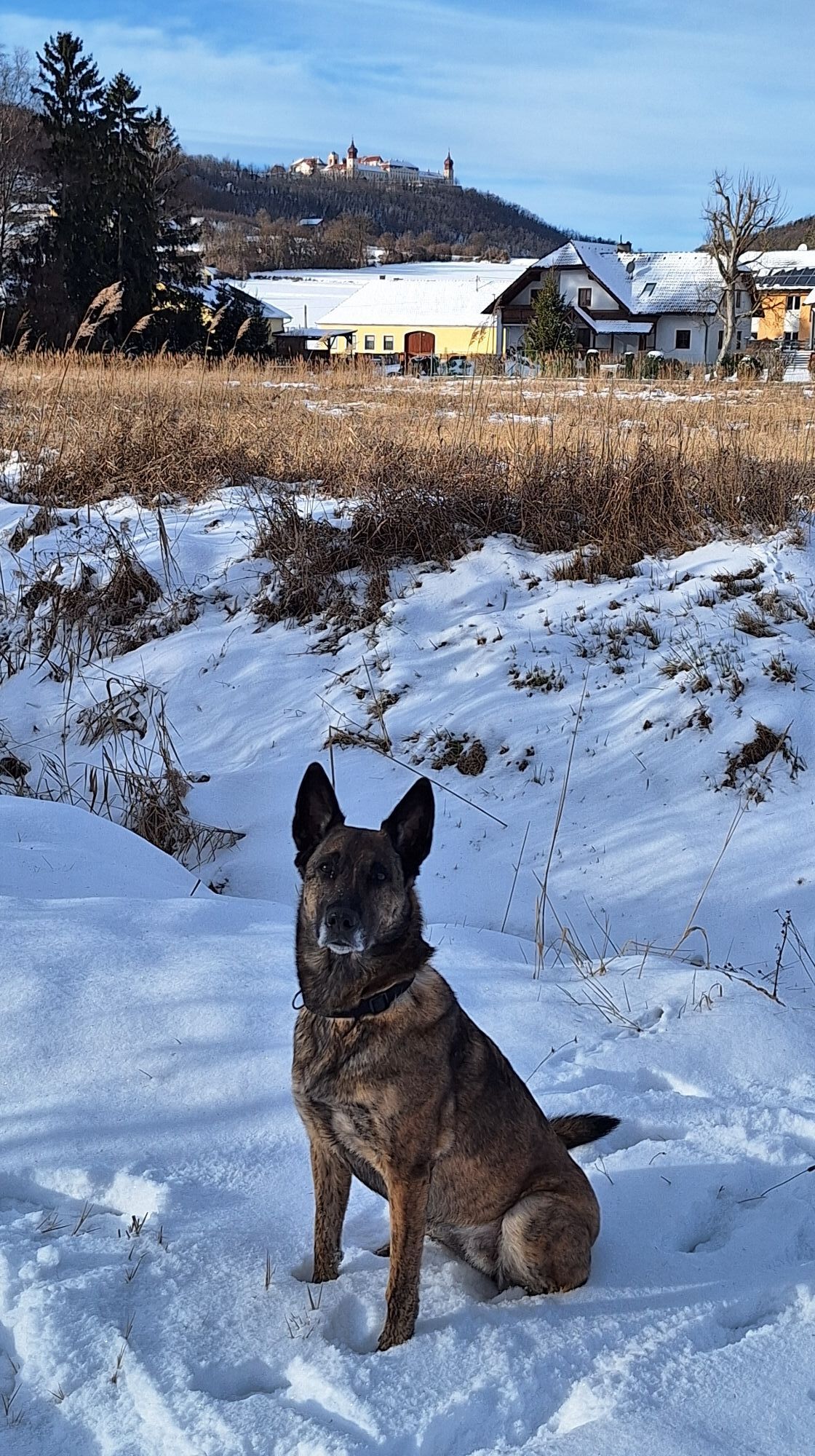
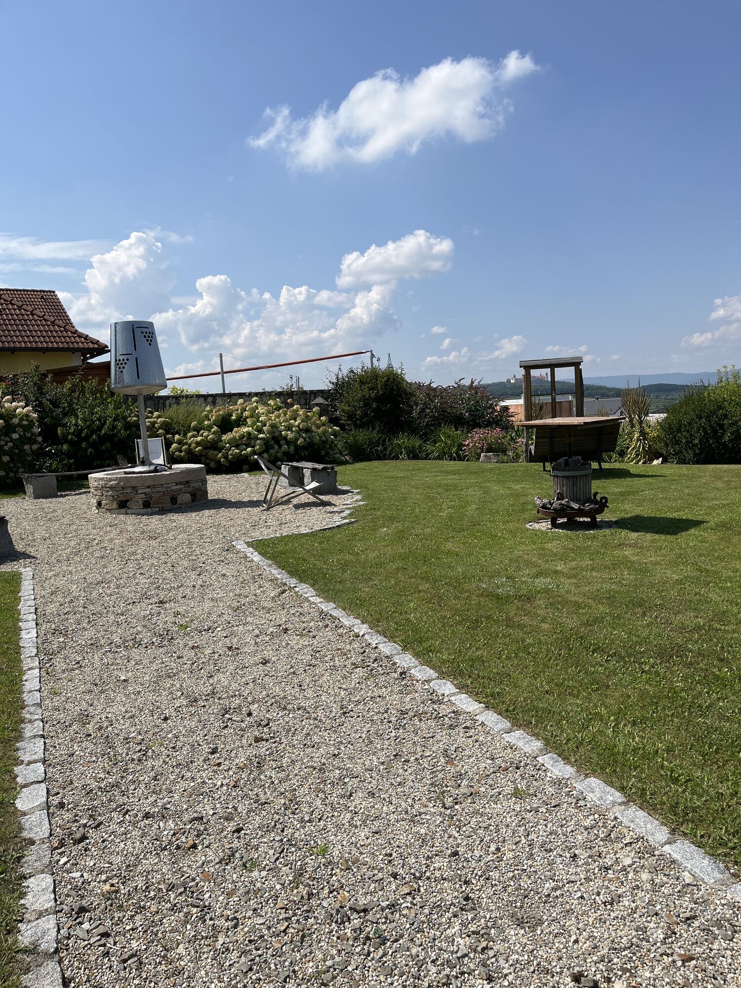
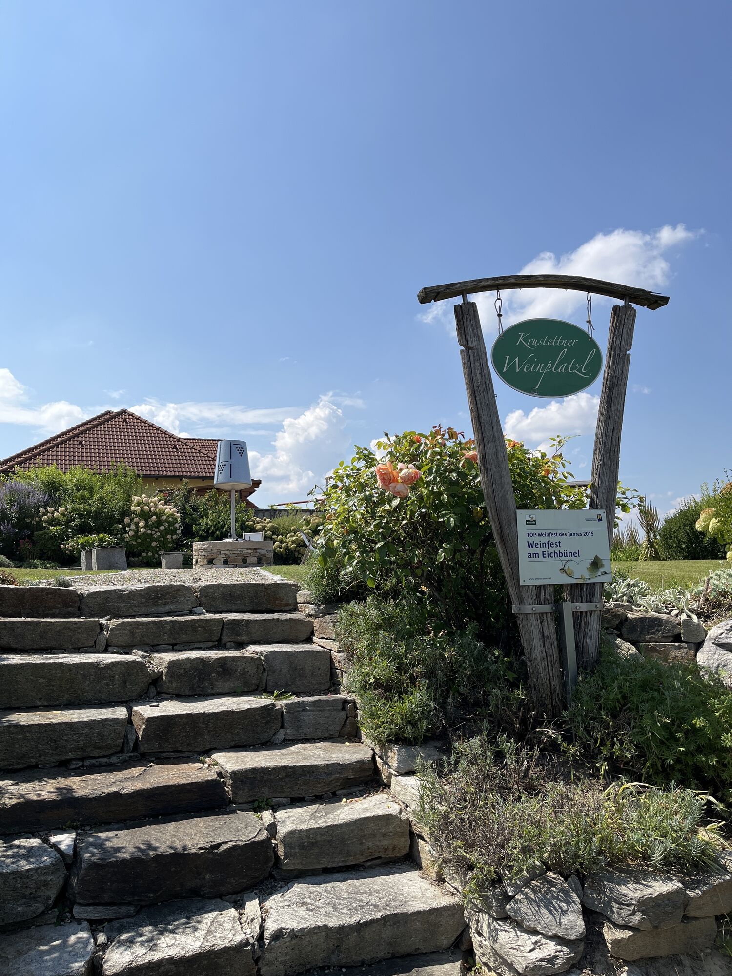
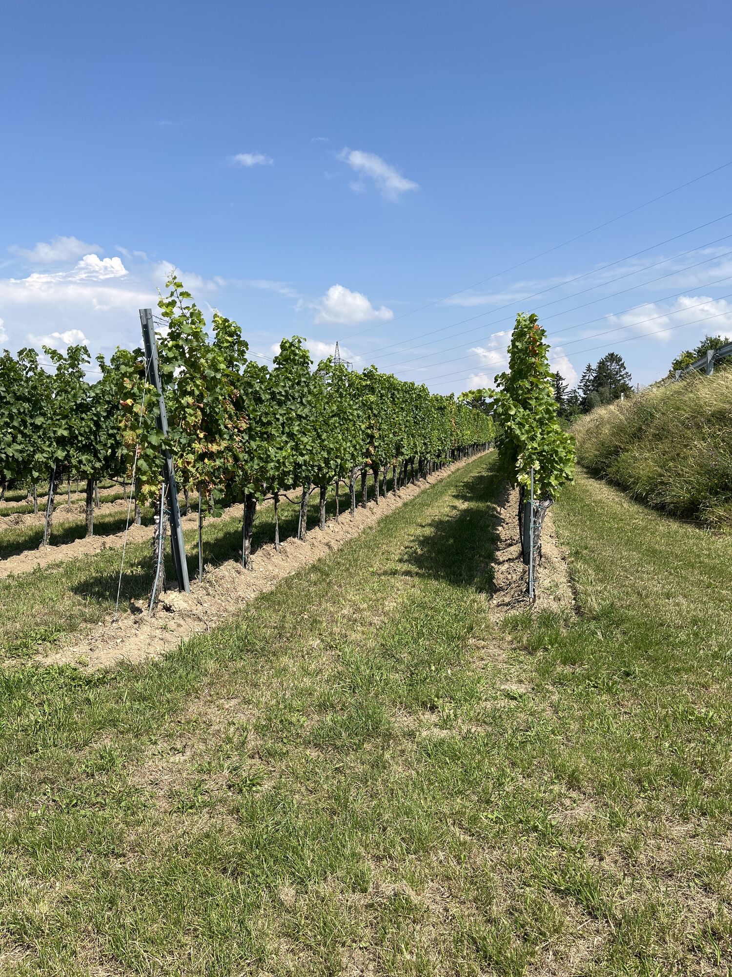
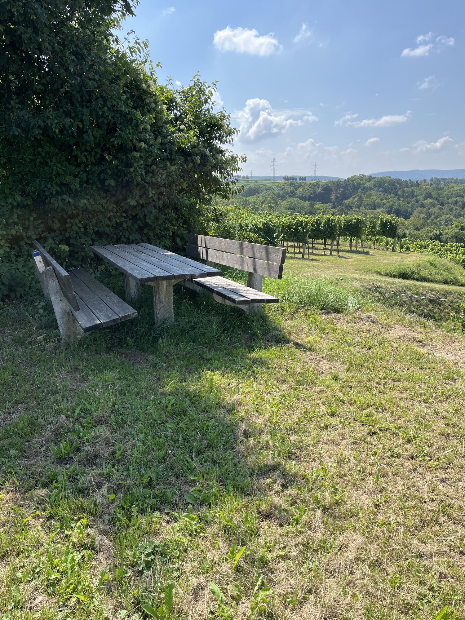
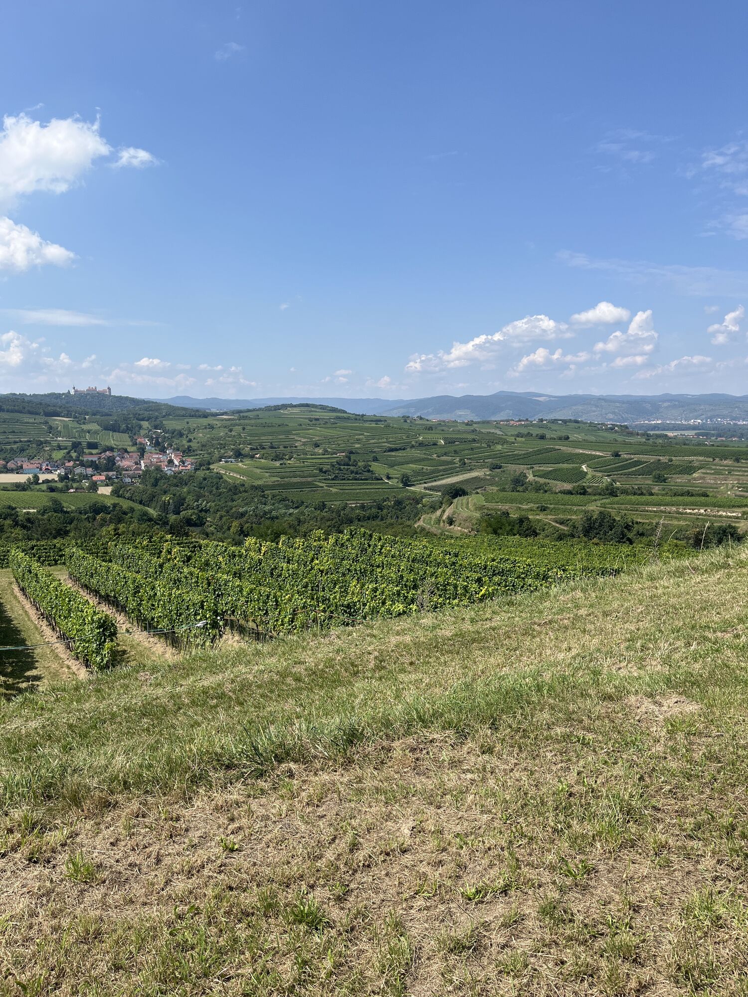
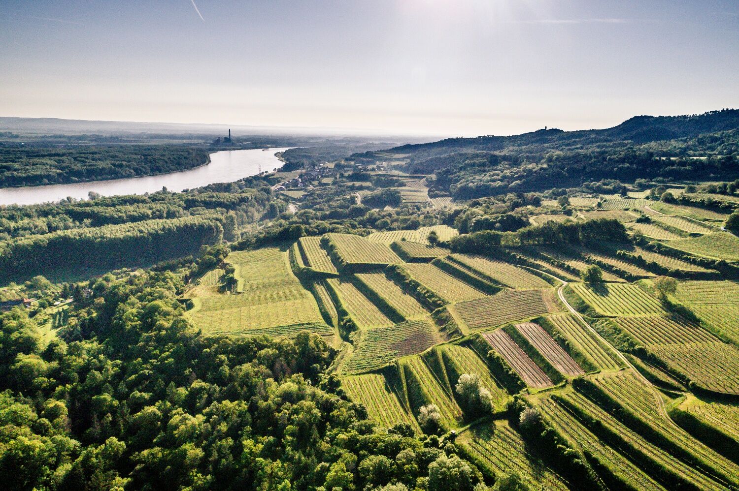
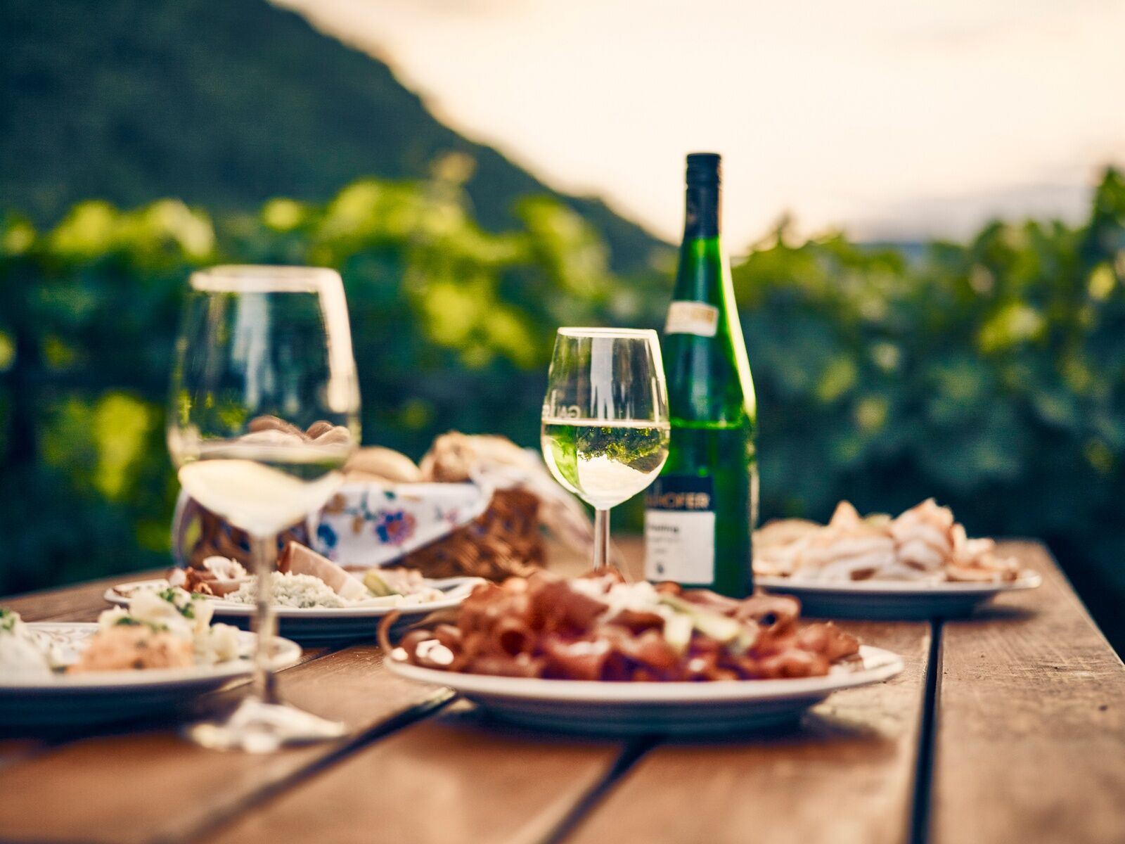
The hike from Paudorf to Hollenburg starts right in the center of Paudorf . From there, you follow the impressive sculpture trail towards your destination. In addition to the unique wooden sculptures along the way, there are also fantastic viewpoints of the entire wine region. The Wilhelm Kienzl Museum invites you to make your first leisurely stop. Just a few kilometers further on, in Höbenbach, it is the famous wine cellar lane with its wine taverns that calls for a well-deserved break. Culinary delicacies to feast on and delicious Krems Valley ("Kremstal") DAC wines from the region provide the necessary refreshment. The route then continues via the charming village center of Krustetten to the stage finish in Hollenburg. The special feature of this hike, however, lies along the way: wine taverns and wineries make for a particularly enjoyable and leisurely tour that will not soon be forgotten.
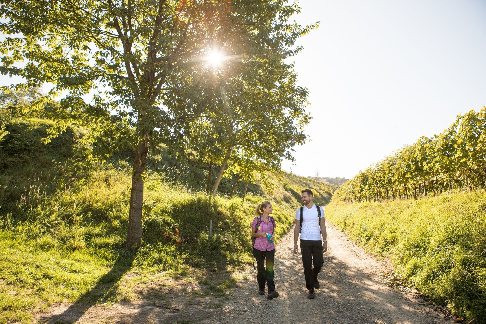
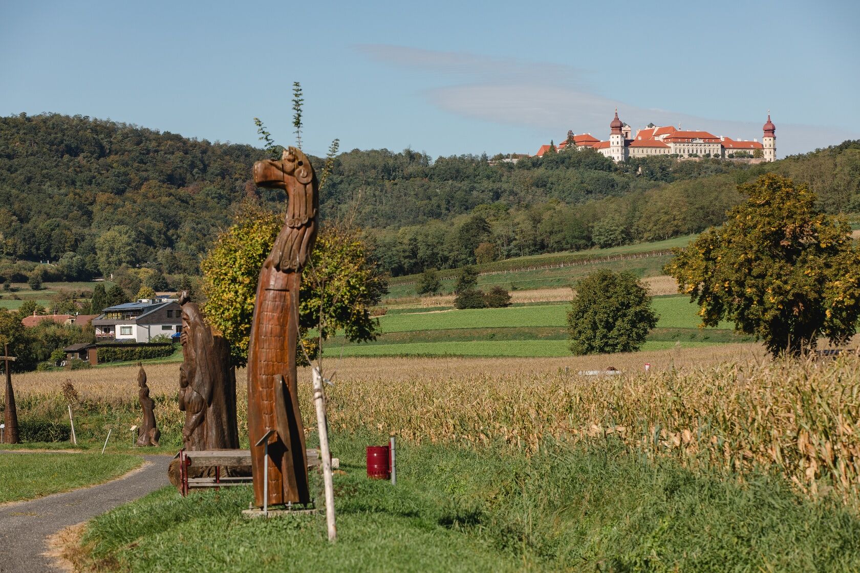
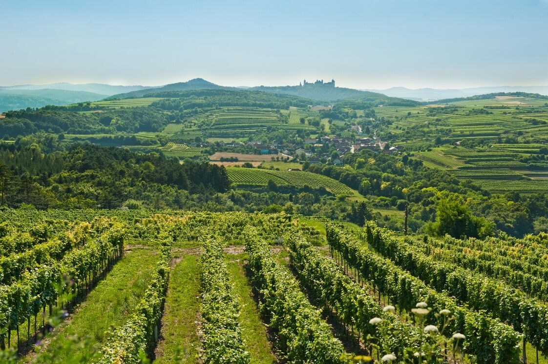
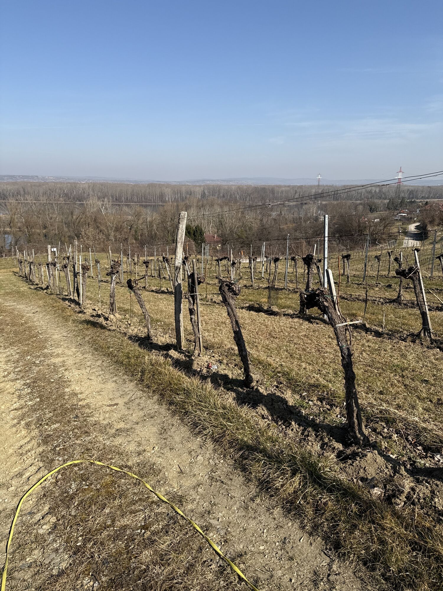
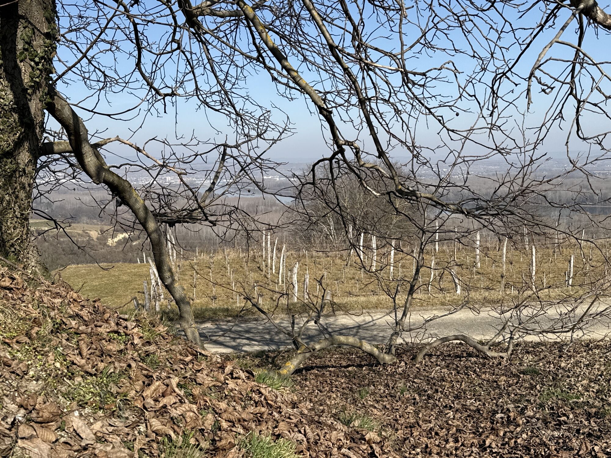
From the center of Paudorf, the country road can be easily crossed via an underpass. From now on, we hike along the Sculpture Trail, which dates back to the International Wood Sculpture Symposium 1997, past the Umgehendes Cross to Höbenbach. Almost along the way lies the Hellerhof, which houses the Kienzl Museum. The Höbenbach stream up to the namesake village Höbenbach is our companion. Upon arrival, we meet the cellar lane directly. We pass it on the left, across the village square to Setzenweg where we turn right, past the Dockner winery, merging into the Güterweg, which takes us to Krustetten. At the Weißes Kreuz, we have already reached the village, which we walk through on Hollenburger Straße, passing some Heurigen. At the end of the village, our path turns left through Ried Hopfengrund and Glockenberg until we reach Kleedorf. At Federal Road 43, we leave it again immediately and walk along Wehingerweg through the settlement towards the private clinic. However, we do not go to the clinic, but take Krustettner Straße to Lumpazi-Bräu. Shortly afterwards, stairs lead us down to a path that brings us almost without traffic to the destination of our third stage, the center of Hollenburg.
Recommended equipment:
Hiking bootsBackpackWeatherproof clothing (e.g. rain protection)HeadgearSun protectionsufficient provisions (water, snacks)Hiking map Long-Distance Trail Kremstal-Donau and/or mobile tour plannerPlease note the following tips and information to make your hiking holiday a pleasant experience:
Stay on marked paths and wear mountain/hiking boots.Please do not leave your trash on the trail.Carry sufficient provisions (water/snacks) with you.Take the hiking map with you or use the free hiking app.Respect the sensitive habitats of plants and wildlife.The use of the proposed routes is at your own risk and responsibility.
Motorway A1 (West Motorway) - exit Krems, on expressway S 33 towards Krems - exit Göttweig
or A22 and S5
By ÖBB to Paudorf station
Center of Paudorf, marketplace
All information about the stages can be found at www.kremstal.at . The "Kremstal-Donau long-distance hiking trail" hiking map can be requested free of charge from Donau NÖ Tourismus GmbH by telephone on 02713-30060-60 or downloaded from the brochure shop at www.donau.com/brochure will.
Enjoy your hike also culinarily! In the Kremstal, the Heurigen culture has a great tradition, and you can enjoy regional delicacies in the glass and on the plate. The Kremstal DAC stands for spicy Grüner Veltliners and elegant, mineral Rieslings. When and where "aus'gsteckt is'" you can find out in the Heurigen Calendar!
Popularne wycieczki w okolicy
-
4,5
Welterbesteig Wachau 02: Dürnstein-Weißenkirchen
światłodługodystansowy szlak pieszy 15,9 km -
4,6
Welterbesteig Wachau 01: Krems-Dürnstein
światłodługodystansowy szlak pieszy 12,3 km -
4,8
Vogelbergsteig -Kanzel- Fesselhütte - Ruine Dürnstein zum Heurigen in Furth
średniWędrówka 7,59 km -
4,7
Rundhöhenwanderweg Weißenkirchen in der Wachau - Schildhütten - Cholerakreuz - Weißenkirchen
światłoWędrówka 8,75 km -
4,7
Wachau: Seekopf - Hirschwand
średniWędrówka 10,4 km -
4,6
Krems (Welterbesteig) - Dürnstein - Vogelbergsteig - Kanzel - Fesslhütte - Krems
średniWędrówka 18,0 km -
4,5
Panoramaweg Weissenkirchen
światłoWędrówka 5,04 km -
4,4
Wachauer Marillenerlebnisweg, Krems-Angern
światłoWędrówka 6,04 km -
4,5
Seekopf und Hirschwand
średniWędrówka 2,83 km -
4,7
Wine and Water Round to the Kamptalwarte on Heiligenstein, no. 65
średniWędrówka 9,93 km
Wędrówki i tropienie


Nie przegap ofert i inspiracji na następne wakacje
Twój adres e-mail została dodana do listy mailingowej.