






VIA.VINUM. - Höflein circular route
True to the motto "wine hiking", this easy circular hike is not lacking in extended forays through the vineyards of the Römerland, a romantic wine cellar lane with a view and a visit to the wine-growing...
True to the motto "wine hiking", this easy circular hike is not lacking in extended forays through the vineyards of the Römerland, a romantic wine cellar lane with a view and a visit to the wine-growing village of Höflein with its numerous winegrowers. In addition, a Roman excavation and nature trails make the hike a varied experience.
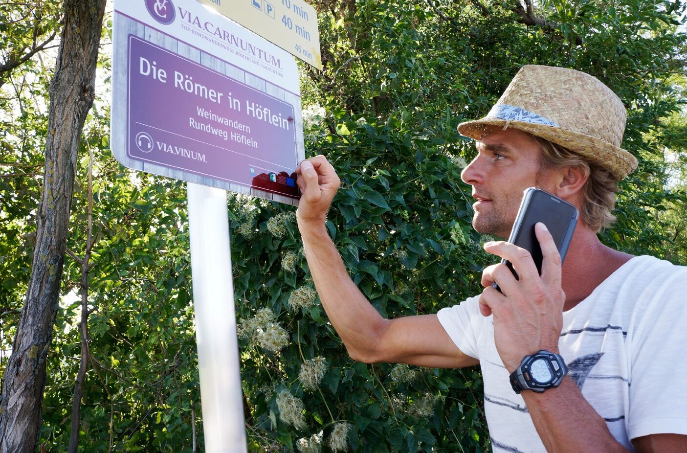
With the free mobile app "Hiking Trails Römerland Carnuntum", hikers can listen to entertaining stories - historical, legends, traditions and much more - about the region. - Download the app onto your smartphone, either online as a WebAppor as a native app, which does not require an internet connection on site. Your position is displayed on a map as you hike - so you stay on the right path! Google Play Store or App Store

Start at Am Limes - Höflein wine cellar lane
The small, secluded wine village of Höflein is best reached by bus.
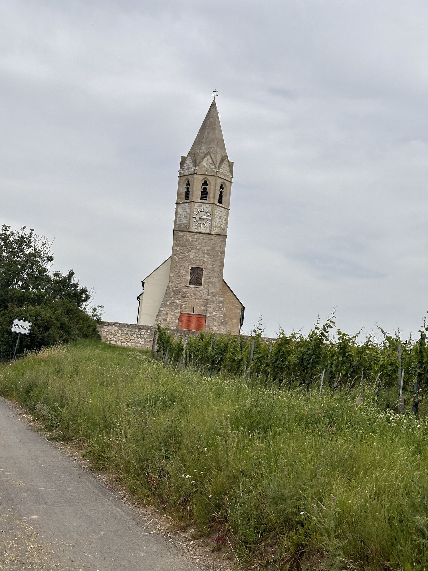
From the stop at the elementary school, a short ascent leads to the small church hill of the parish church St. Ulrich, from where you already get an extensive overview of the wine-growing area in the heart of Carnuntum.
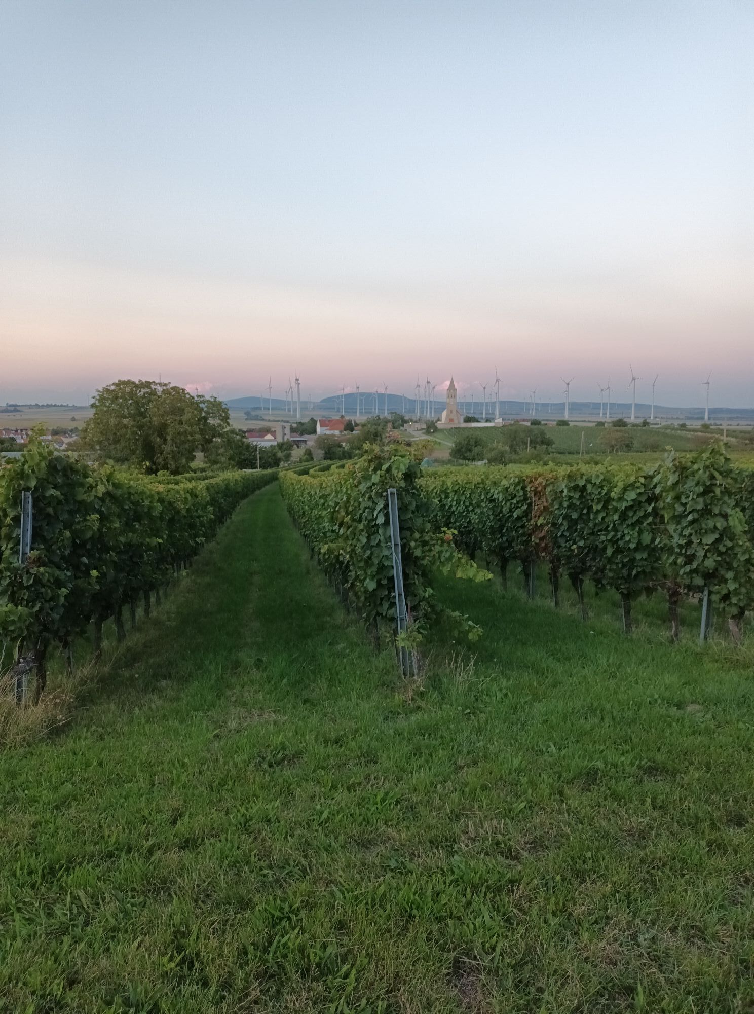
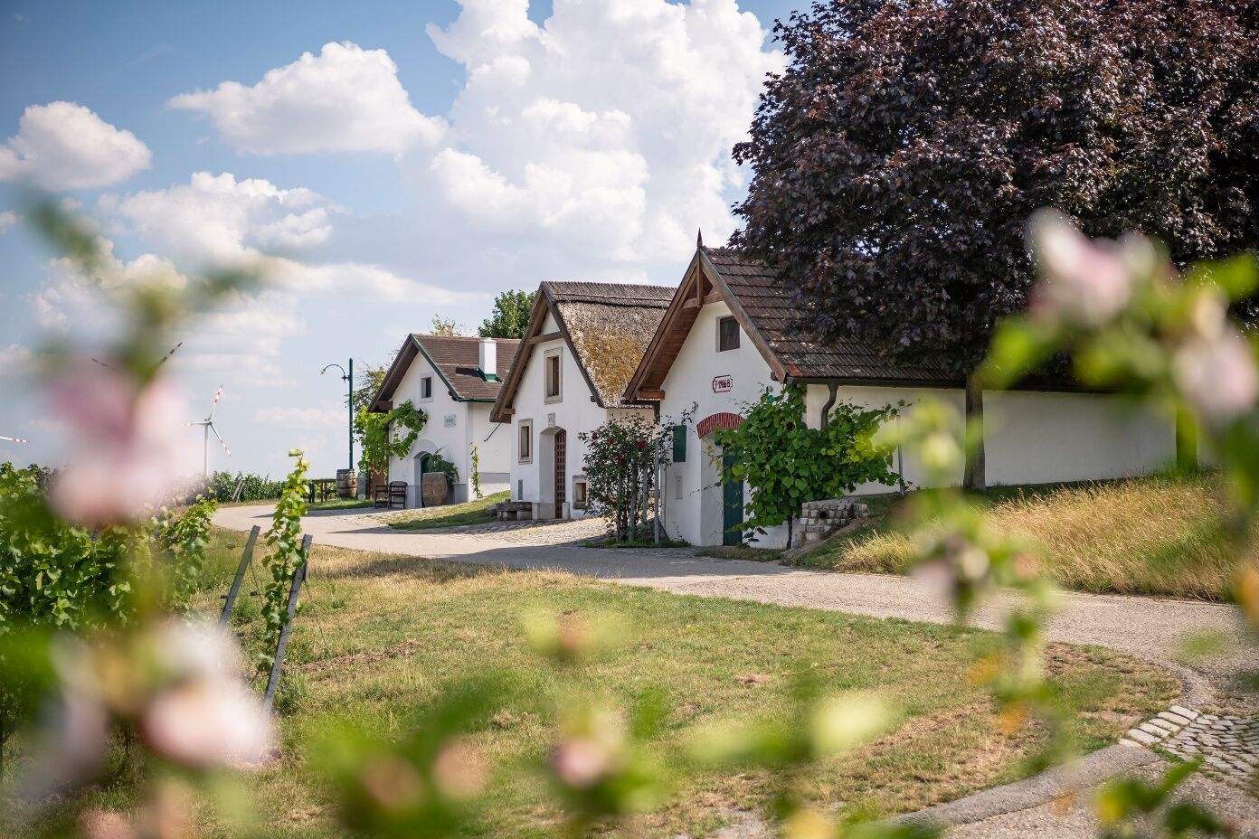
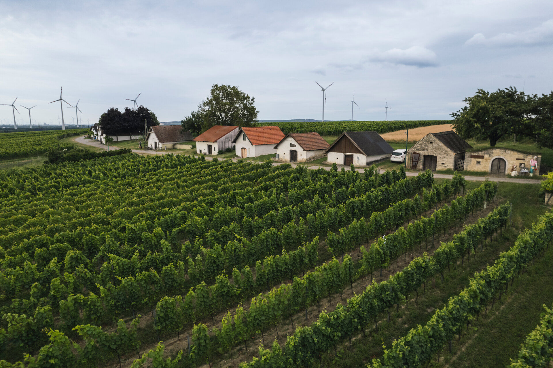
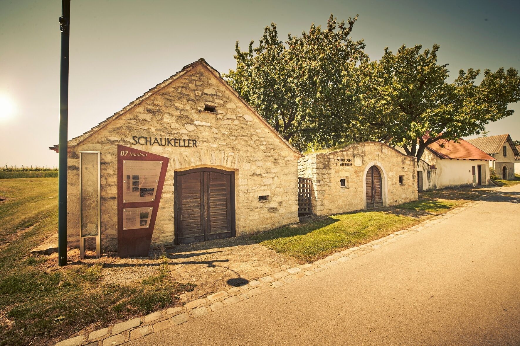
Looking southwest, you see across the vineyard rows the lined-up houses of the wine cellar lane for which Höflein is known. Via a small access road through the vineyards, you reach the cellar entrances, which crowd one after the other along the street. While each house on the left side of the street offers its own eye-catcher, the view opens on the right side over the vineyards to the village of Höflein and the wide fields of Carnuntum - definitely a place where you should make yourself comfortable on one of the benches or the rest area.
Wine cellar lane – Schüttenberg plateau intersection
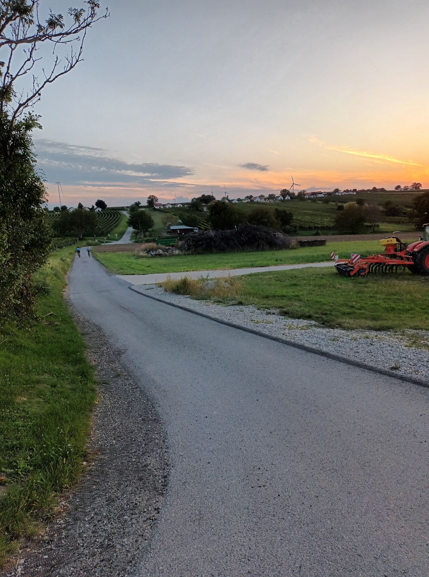
At the northern end of the wine cellar lane, turn right downhill and cross the narrow wine fields on the well-paved access road. After a short stretch through a residential area, the road runs gently uphill through a soft ditch and is flanked on both sides by lush vineyards. After about a 30-minute easy ascent, you pass a junction with a rest area. Soon after, the paved road ends at a forest edge, from where you get a first view of the next wine village, namely Göttlesbrunn.
Schüttenberg plateau intersection – Höflein viewpoint
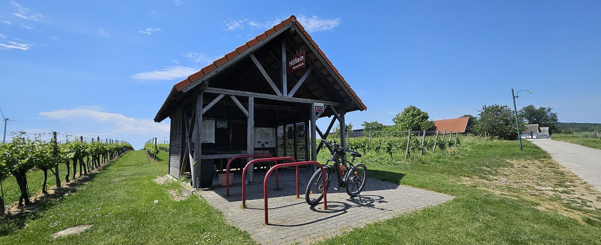
After crossing the shady forest, you reach a fork that connects to the Göttlesbrunn-Arbesthal hiking circuit. You can follow this for a detour to the viewpoint of Schüttenberg, 10 minutes away. To continue the hike, take the right path through the forest towards the Höflein viewpoint. Along a wildlife fence, it goes straight through the forest until you reach a forest road. It leads past the natural monument dry grassland Rotenbergen as well as the turnoff to the nearby forest chapel to the observation rest area. The stop with a panoramic view of the hilly wine landscape, in the middle of which the village of Höflein is embedded, should not be missed.
Höflein viewpoint - Höflein
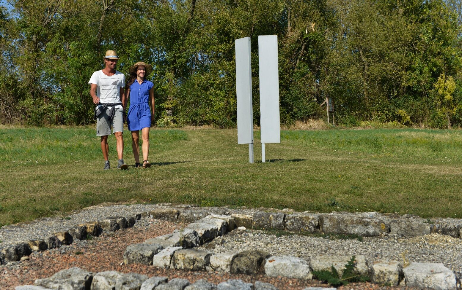
From now on, the path descends the sunny vineyard back towards Höflein. Shortly before the village begins, the archaeological excavation of a Roman villa reminds us of the long tradition of settlement and viticulture in Carnuntum.
An educational trail about bees explains the important role of these insects in viticulture.
Back in Höflein, the outdoor swimming pool at the beginning of the village offers a welcome refreshment in the hot summer months. Along the village street, back to the starting point of the hike, numerous winemakers and inns await the much-appreciated hikers with well-deserved refreshments and snacks.
A4 East Motorway, exit Bruck/Leitha West, to Göttlesbrunn-Arbesthal, Höflein or Stixneusiedl
ÖBB to Bruck/Leitha, then Postbus to Göttlesbrunn-Arbesthal or Höflein; ÖBB to Sarasdorf.

Popularne wycieczki w okolicy
-
4,6
Eckartsauer Donaurunde
światłoWędrówka 8,96 km -
4,6
Ochsenbründlrunde
światłoWędrówka 8,34 km -
4,2
Stopfenreuther Au
światłoWędrówka 5,14 km -
4,0
N25 wine educational trail
średniWędrówka 8,41 km -
5,0
Hundsheimer Berg - Karpaten
światłoWędrówka 4,75 km -
5,0
Hundsheimerberg - Angelos Touren
światłoWędrówka 6,36 km -
4,7
Rundwanderung Naturpark Donauauen
światłoWędrówka 12,9 km -
5,0
Winzer-Tour-Carnuntum
światłoJazda na rowerze 42,8 km -
4,0
Explorer Route – Danube meets Lake Neusiedl
światłoJazda na rowerze 95,3 km -
4,2
Wien Bratislava Devin Orth Wien
Jazda na rowerze 129,0 km
Wędrówki i tropienie


Nie przegap ofert i inspiracji na następne wakacje
Twój adres e-mail została dodana do listy mailingowej.





