







Mühldorfer circular route
We start our approx. 7 km long hike from Mühldorf, which forms the western gateway to the Spitzer Graben and at the same time the gateway to the Wachau and the Waldviertel. We hike over the Calvary of...
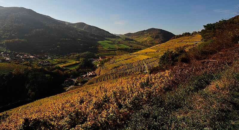
We start our approx. 7 km long hike from Mühldorf, which forms the western gateway to the Spitzer Graben and at the same time the gateway to the Wachau and the Waldviertel. We hike over the Calvary of Unterranna with its beautifully renovated wayside shrines, the Chapel of the Crucifixion and the Chapel of the Holy Sepulchre. We soon pass the imposing Oberranna Castle (privately owned). Our route continues through extensive forests (Fohraberg and Wolfsberg) and then along the idyllic Bengelbach stream. Further highlights are the lovely church of Niederranna and the magnificent Prandhof Castle. Back on Marktstraße in Mühldorf, Austria's first Raiffeisen bank awaits us.
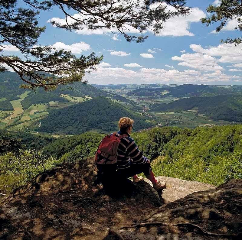
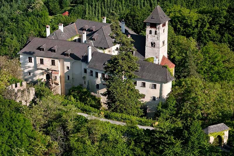
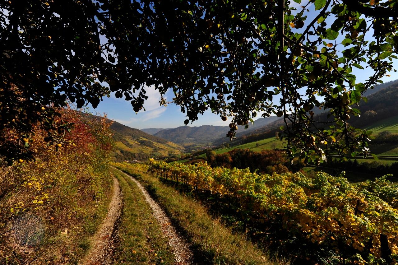

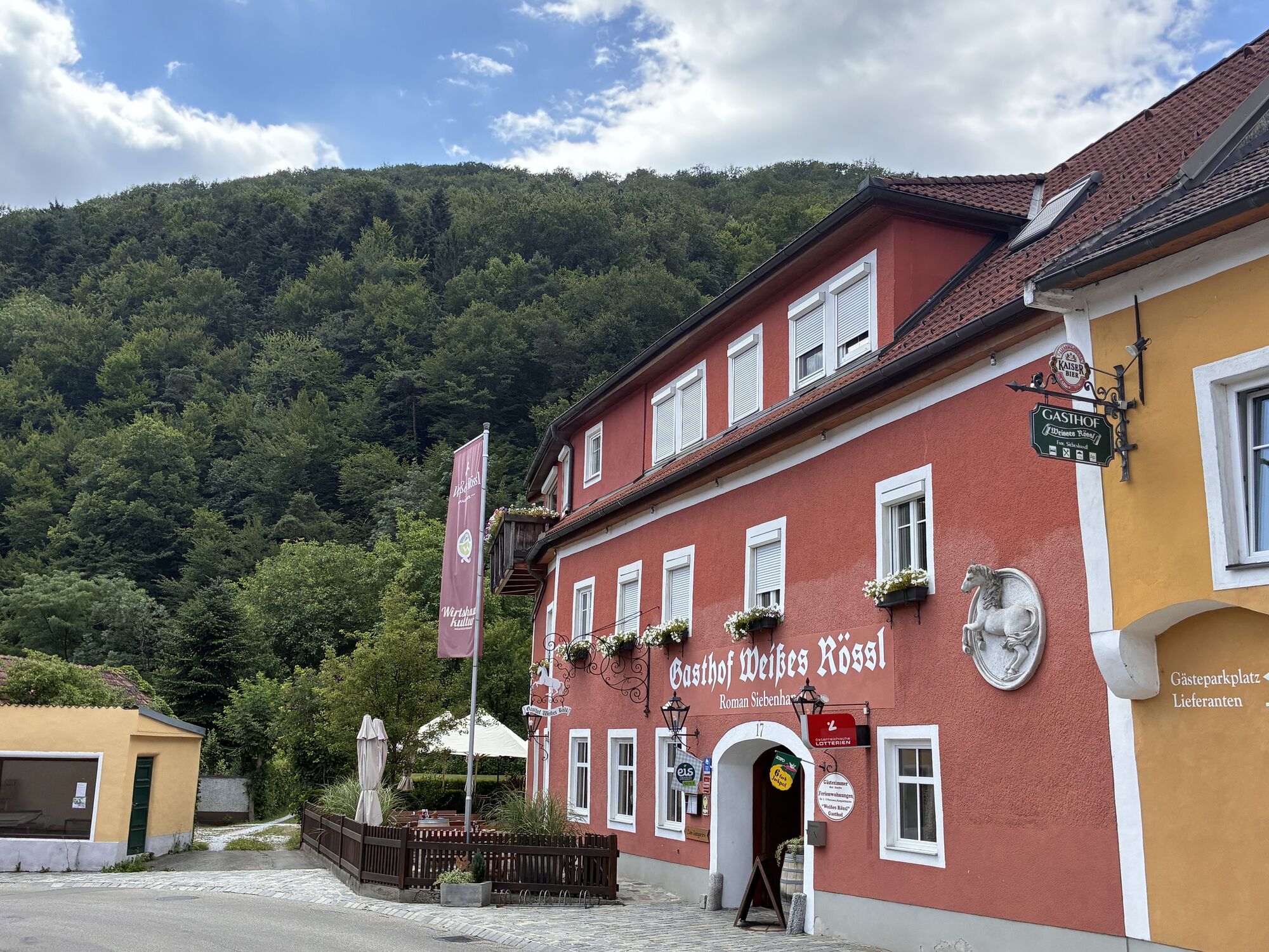
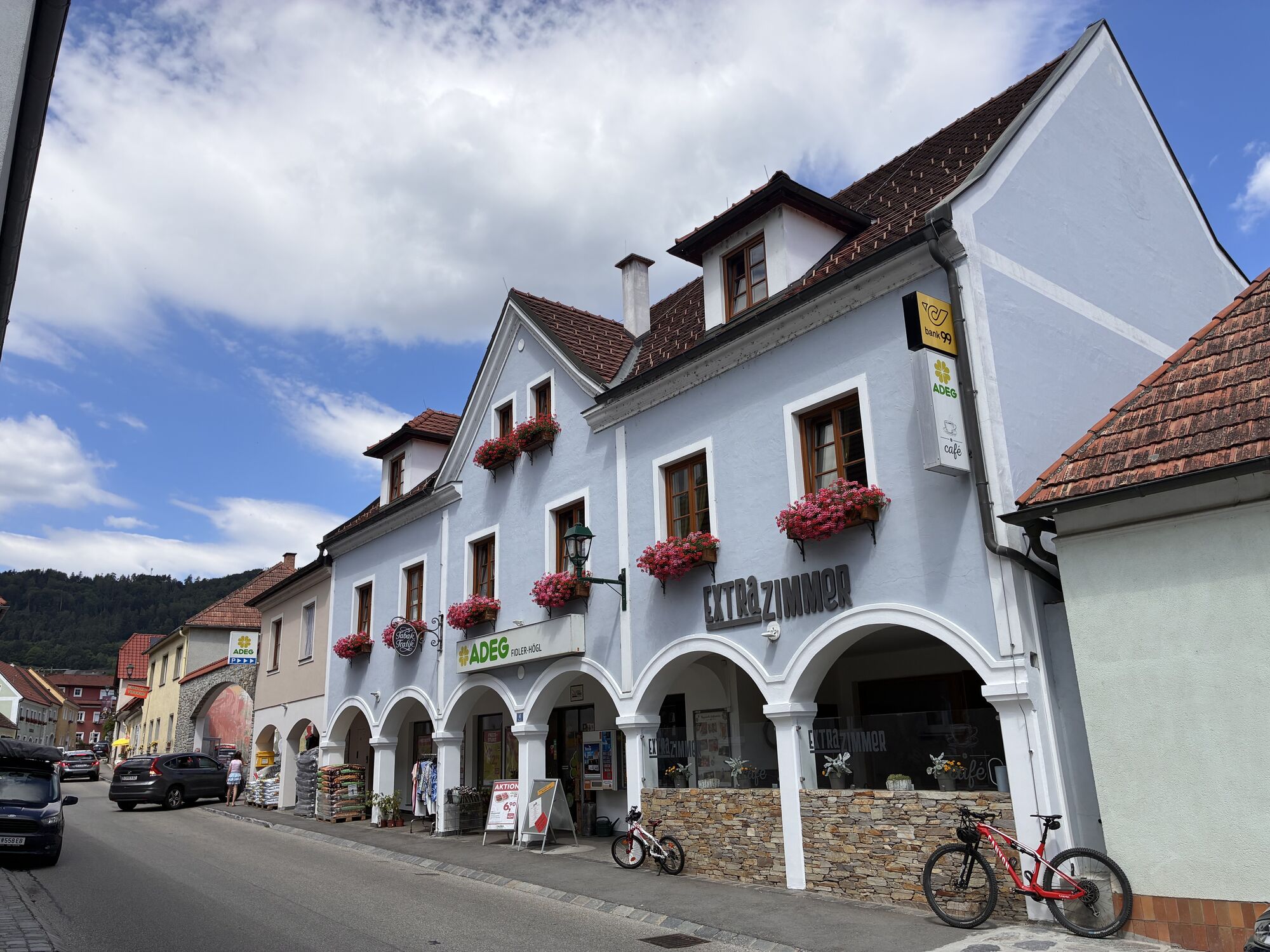
We start from the town center in Mühldorf (360 m) and walk along Ottenschläger Straße, which we leave to the right before the small bridge. Immediately, we turn left again following the natural Ötzbach straight ahead past the outdoor swimming pool and the playground. Where the Rannabach flows into the Ötzbach, there are two options: we can follow the asphalt road uphill to the right (along the Rannabach) or continue about 20 m straight ahead to the shrine of Saint Nepomuk between two magnificent chestnut trees. From there, a small path leads up the Kalvarienberg. Along the way, there are small huts as stations of the cross with modern paintings by H. Bauch. Between the 7th and 8th image stations, the path leads straight up to a T-junction, where we turn right onto a gravel road that lies between meadows and then runs along the edge of the forest. Soon we cross the Rannabach in a right curve either directly or over a small footbridge, then follow the path straight ahead and then the upper main path. At the next junction, we go straight ahead (where the other route variant rejoins ours) and soon pass the imposing Oberrana Castle. After the last house of the village Oberranna (441 m), we turn left and follow the asphalt road uphill, which turns into a forest road at the forest edge in a left curve. Here we walk gently uphill through a pine forest. At the next right bend, we follow the forest road to the right. To the left is an oak forest from which we can enjoy a wonderful view of the foothills of the Jauerling. At the next Y-junction, continue downhill to the right. Shortly after, a small path leads downhill to the right onto a beautiful forest path through a beech-hornbeam forest, which we follow to its end at an asphalt road. There, we walk downhill to the right, following the road for a short distance, until we turn left onto a path to the Bengelbach, which we cross over some stone slabs. Now we walk on a dreamy forest path uphill and downhill following the natural brook. Soon some rustic rock and stone formations appear, and we cross a shallow tributary. Then the path bends left a little away from the brook. Always stay on the main path and follow the old white-blue-white markings. We cross the following junction straight ahead and accompany the brook again. At the next fork, we keep straight ahead. Now the first huts and fish ponds can be seen on the right side of the brook. One last time, we cross the Bengelbach slightly downhill to the right by a ford or a small bridge to immediately go left on a path between meadows and fruit trees heading directly towards the pink little church of Niederranna and Prandhof Castle. Here the asphalt road begins again, and at the cemetery, we have another beautiful view of Oberranna Castle. At the cemetery, we turn left and soon reach Prandhof Castle (391 m). Here we follow the Welterbesteig straight ahead past Gasthaus Busch. At the next junction, we keep left past the gym and kindergarten. Via the school stairs, we reach a small path, which we follow downhill to the left and then straight ahead until we reach Marktstraße in Mühldorf again. We follow it to the right past the first Austrian Raiffeisenbank, the post office, and Cafe Stummvoll with the bakery museum and the town hall. Past the Gasthof Siebenhandl Weißes Rössl, we follow the path straight ahead twice along Ottenschläger Straße back to the parking lot.
Hiking boots, rainproof clothing, and drinking water. The Wachau hiking map is available from Donau Niederösterreich Tourismus, www.wachau.at
Emergency call Mountain Rescue Wachau: 140
A1 to Melk and via B3 to Spitz or via S5 or S33 to Krems and then via B3 to Spitz. From Spitz take the B217 to Mühldorf (roundabout Spitz toward Ottenschlag).
Take the Wachaubahn from Krems or Emmersdorf to Spitz, more info about the Wachaubahn. Then take the bus towards Ottenschlag to Mühldorf. Bus schedules at www.vor.at
A Nextbike rental station (€1/hour) is located in Mühldorf. Info at nextbike.at.
Mühldorf, town center
For a place to eat and stay, we recommend the certified Best of Wachau establishment Gasthof Weißes Rössl ***, www.7handl.at, Tel +43(0)2713/8257.
More businesses in the Wachau can be found at www.bestof-wachau.at
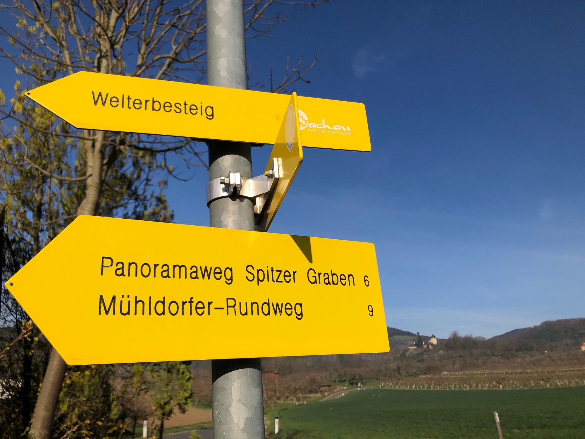
The hiking trail is uniformly and consistently marked with yellow signs.
Uzyskaj wgląd
Zawsze na żywo z ponad 9 500 kamer internetowych. bergfex Jako użytkownik Pro, możesz teraz zobaczyć odpowiednie kamery internetowe dla wielu wycieczek w aplikacji wycieczki od. Pozwala to na bezpośredni podgląd aktualnych warunków.
Popularne wycieczki w okolicy
-
4,6
Welterbesteig Wachau 02: Dürnstein-Weißenkirchen
światłodługodystansowy szlak pieszy 15,9 km -
4,4
Welterbesteig Wachau 03: Weißenkirchen-Spitz
światłodługodystansowy szlak pieszy 10,4 km -
4,8
Vogelbergsteig -Kanzel- Fesselhütte - Ruine Dürnstein zum Heurigen in Furth
średniWędrówka 7,59 km -
4,7
Wachau: Seekopf - Hirschwand
średniWędrówka 10,4 km -
4,7
Rundhöhenwanderweg Weißenkirchen in der Wachau - Schildhütten - Cholerakreuz - Weißenkirchen
światłoWędrówka 8,75 km -
4,6
Krems (Welterbesteig) - Dürnstein - Vogelbergsteig - Kanzel - Fesslhütte - Krems
średniWędrówka 18,0 km -
4,5
Maria Langegg - Rote Wand - Hoher Stein - Kastlkreuz
średniWędrówka 11,4 km -
4,5
Panoramaweg Weissenkirchen
światłoWędrówka 5,04 km -
4,5
Seekopf und Hirschwand
średniWędrówka 2,83 km -
4,8
Wachau: Panoramaweg Rossatz
światłoWędrówka 10,8 km
Wędrówki i tropienie


Nie przegap ofert i inspiracji na następne wakacje
Twój adres e-mail została dodana do listy mailingowej.





