







Mühldorf-Jauerling

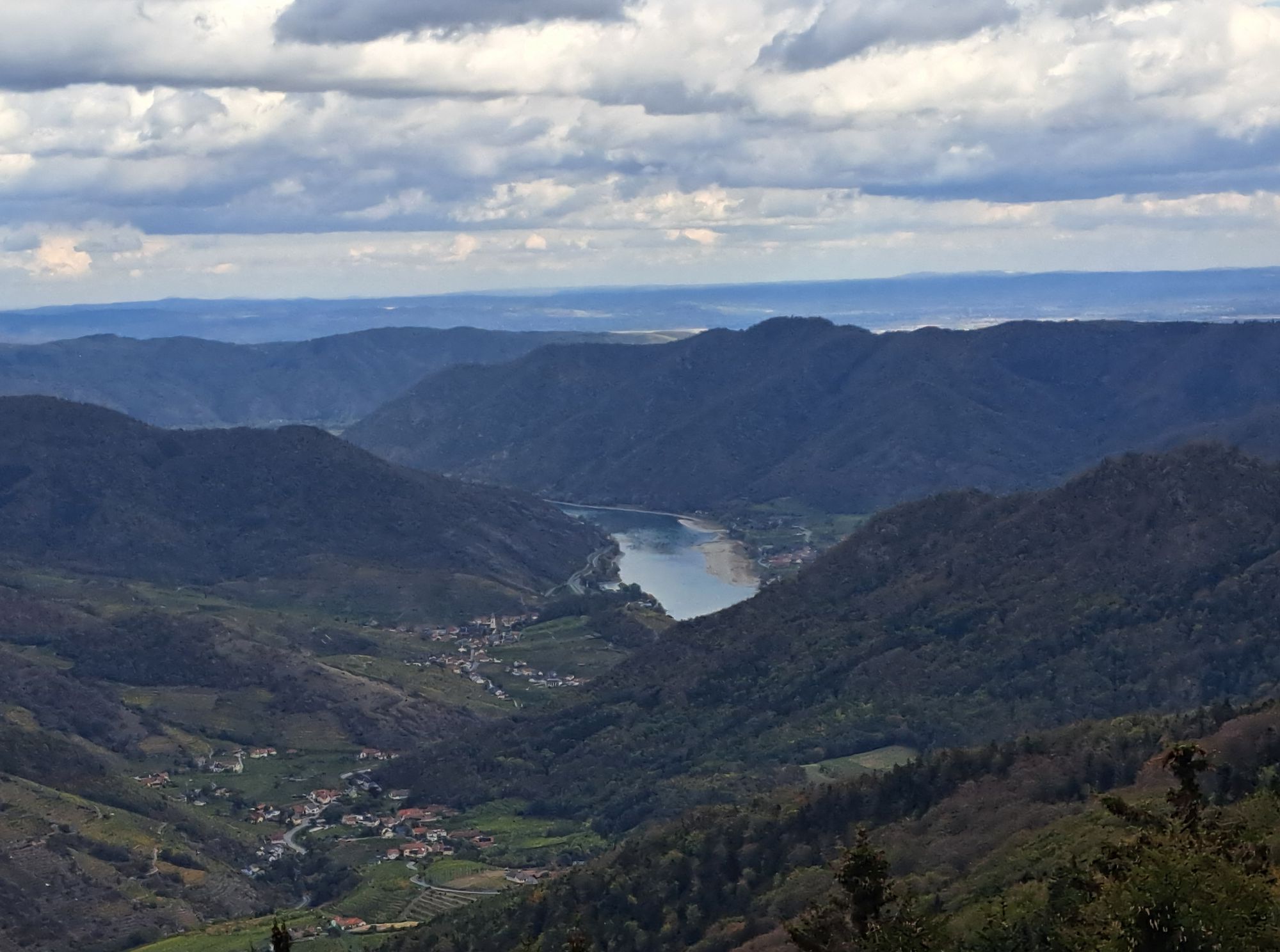
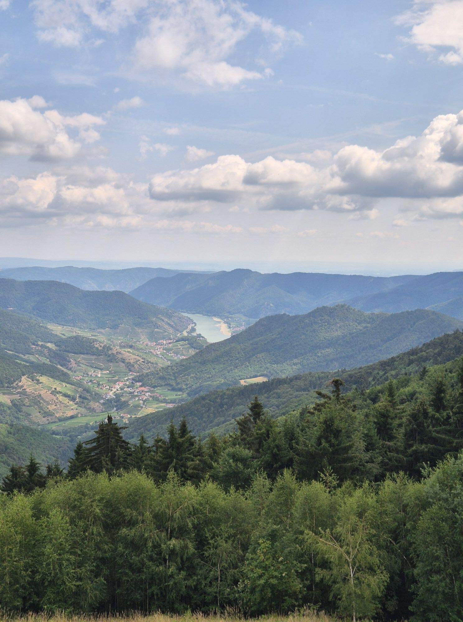
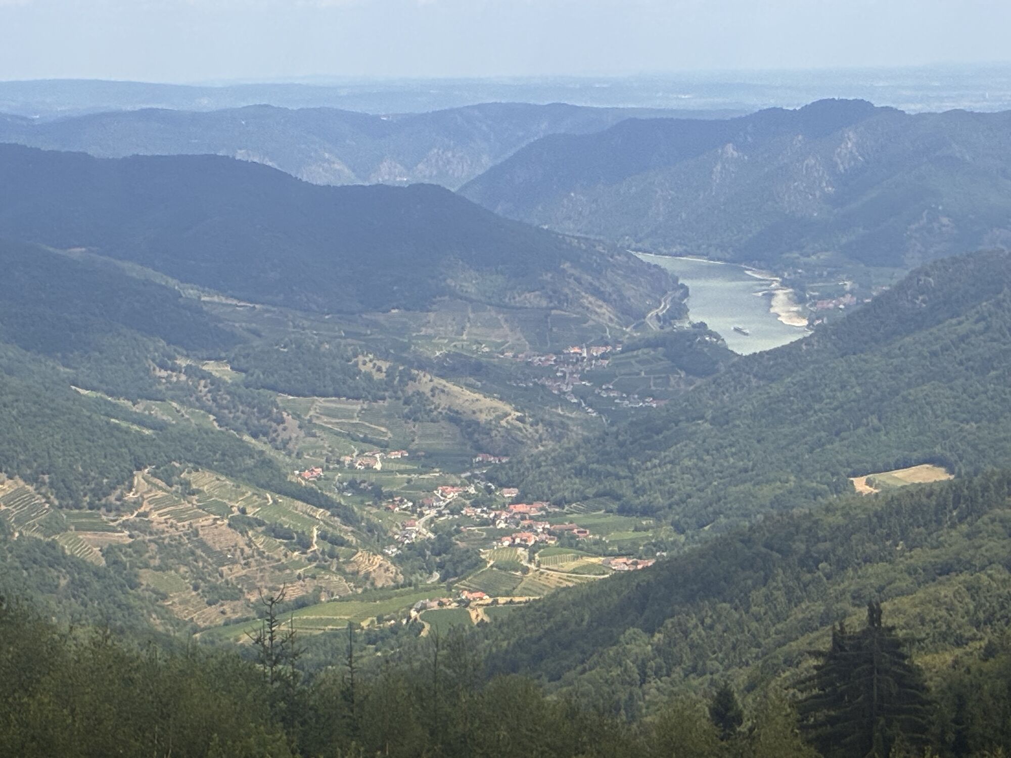
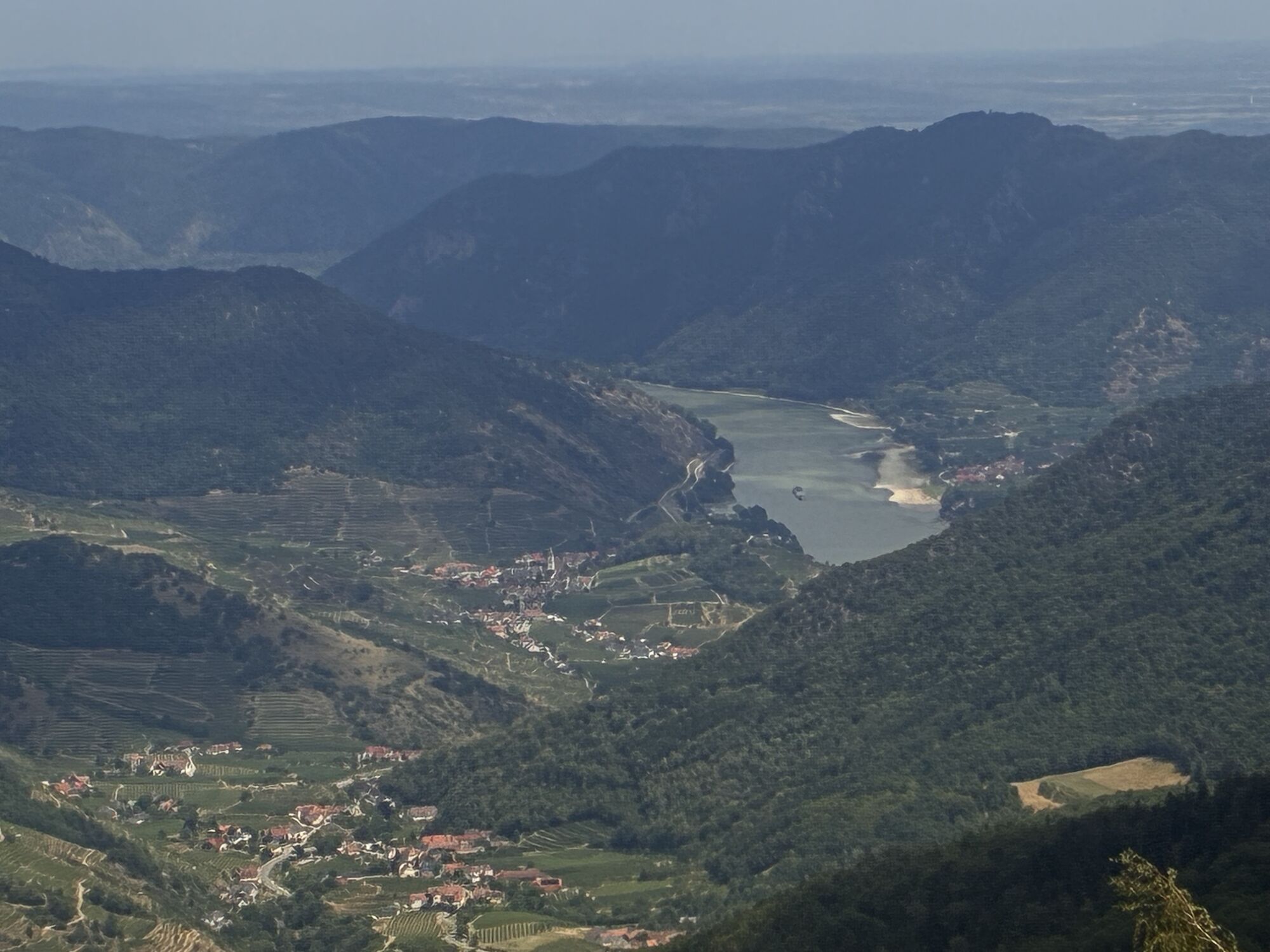
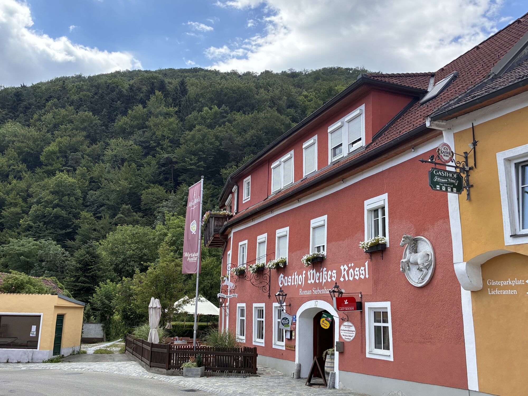
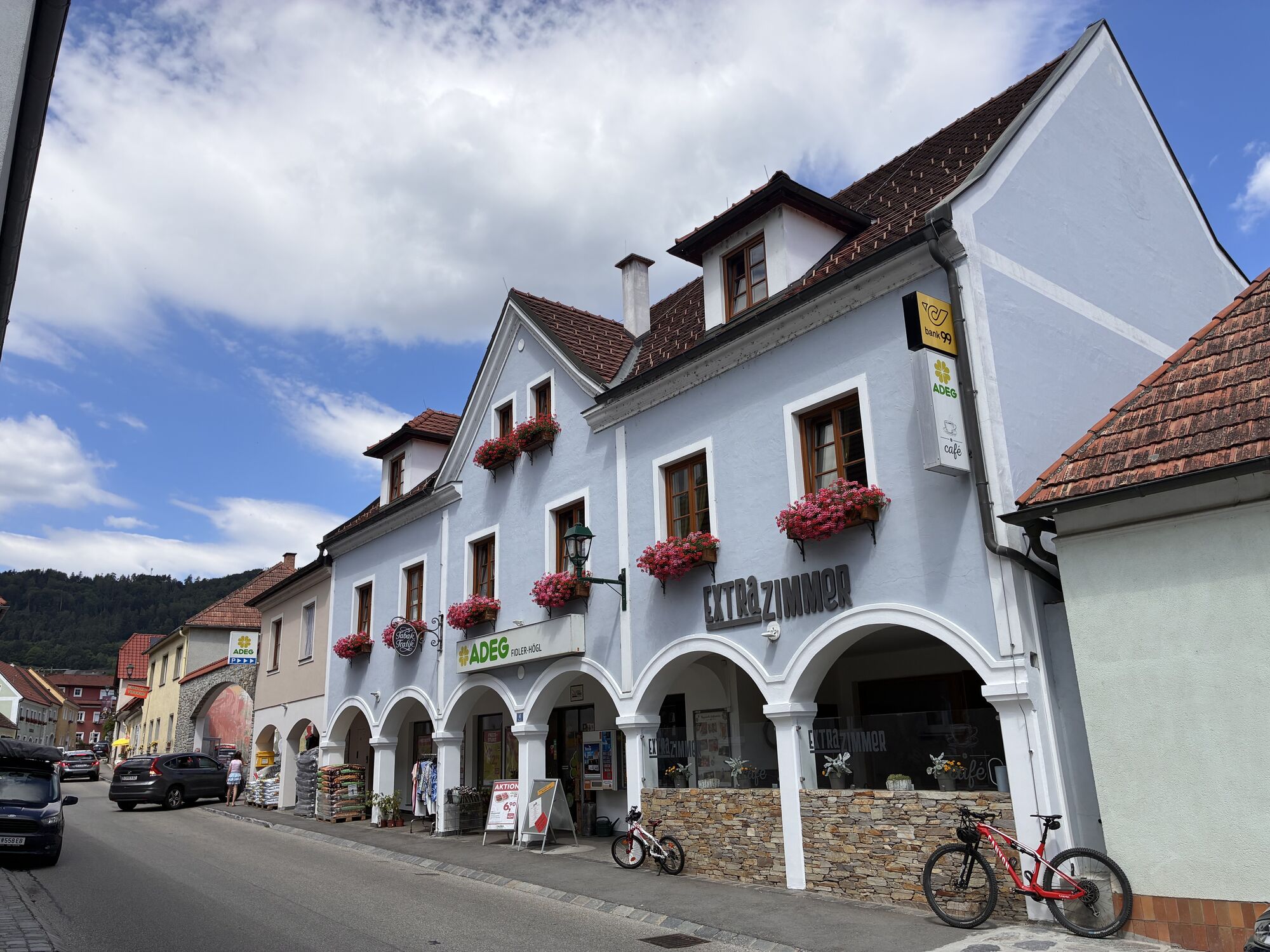
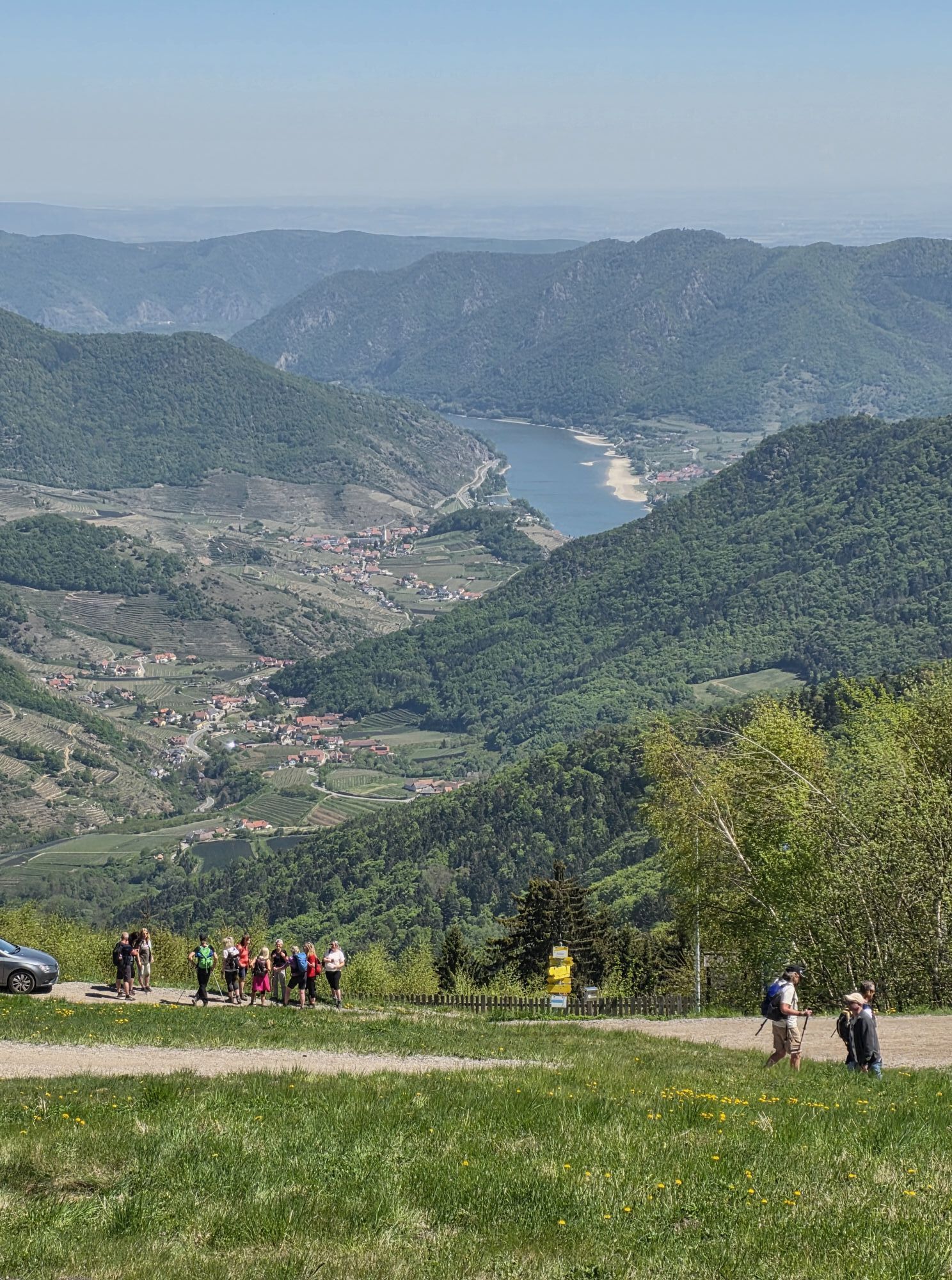
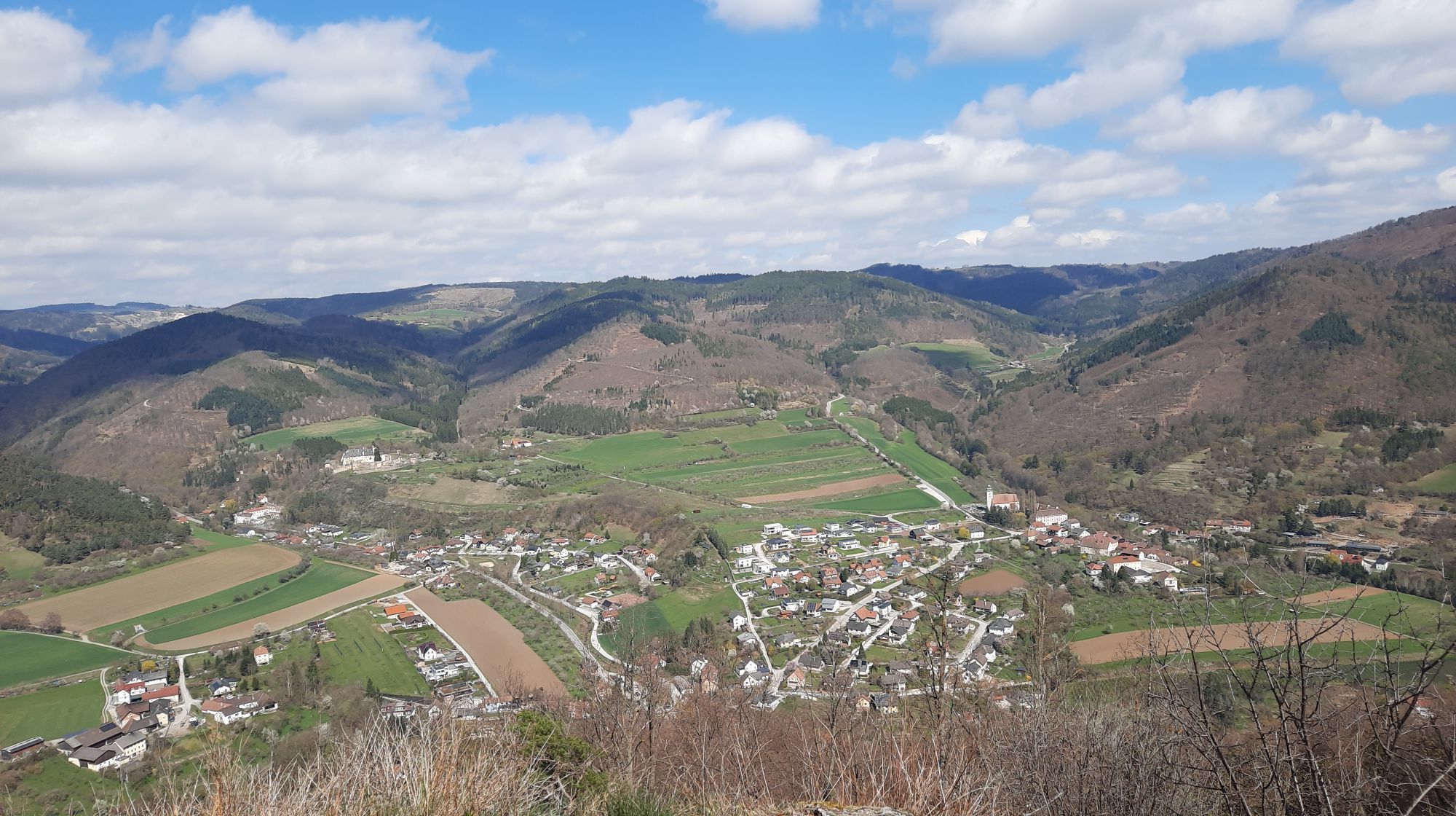
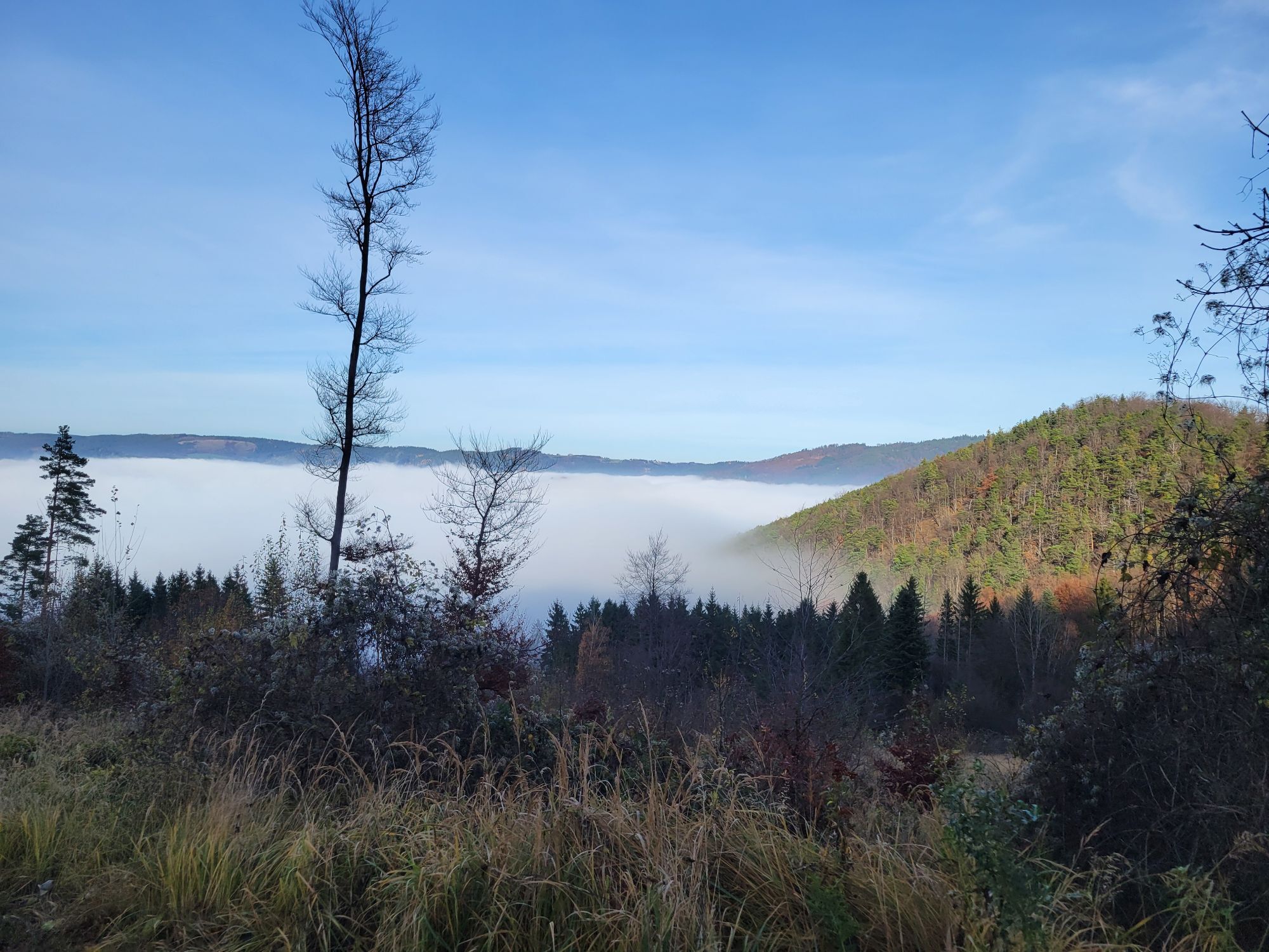
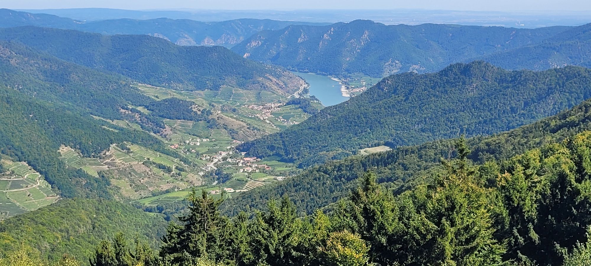
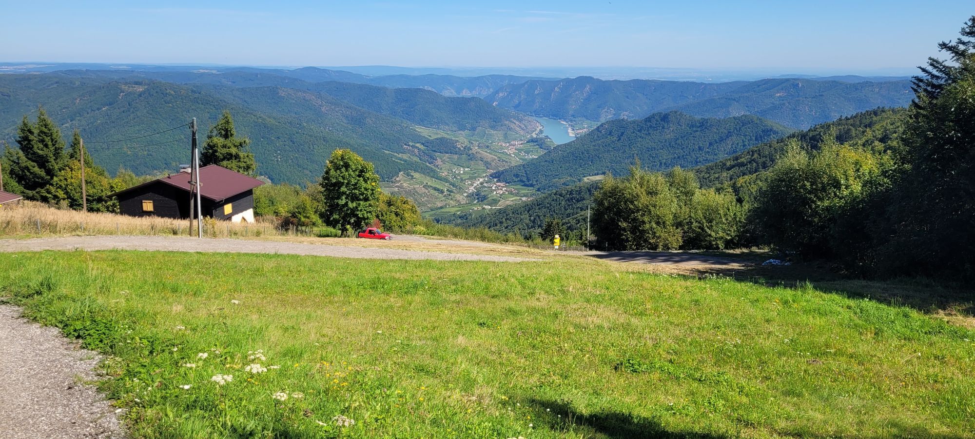

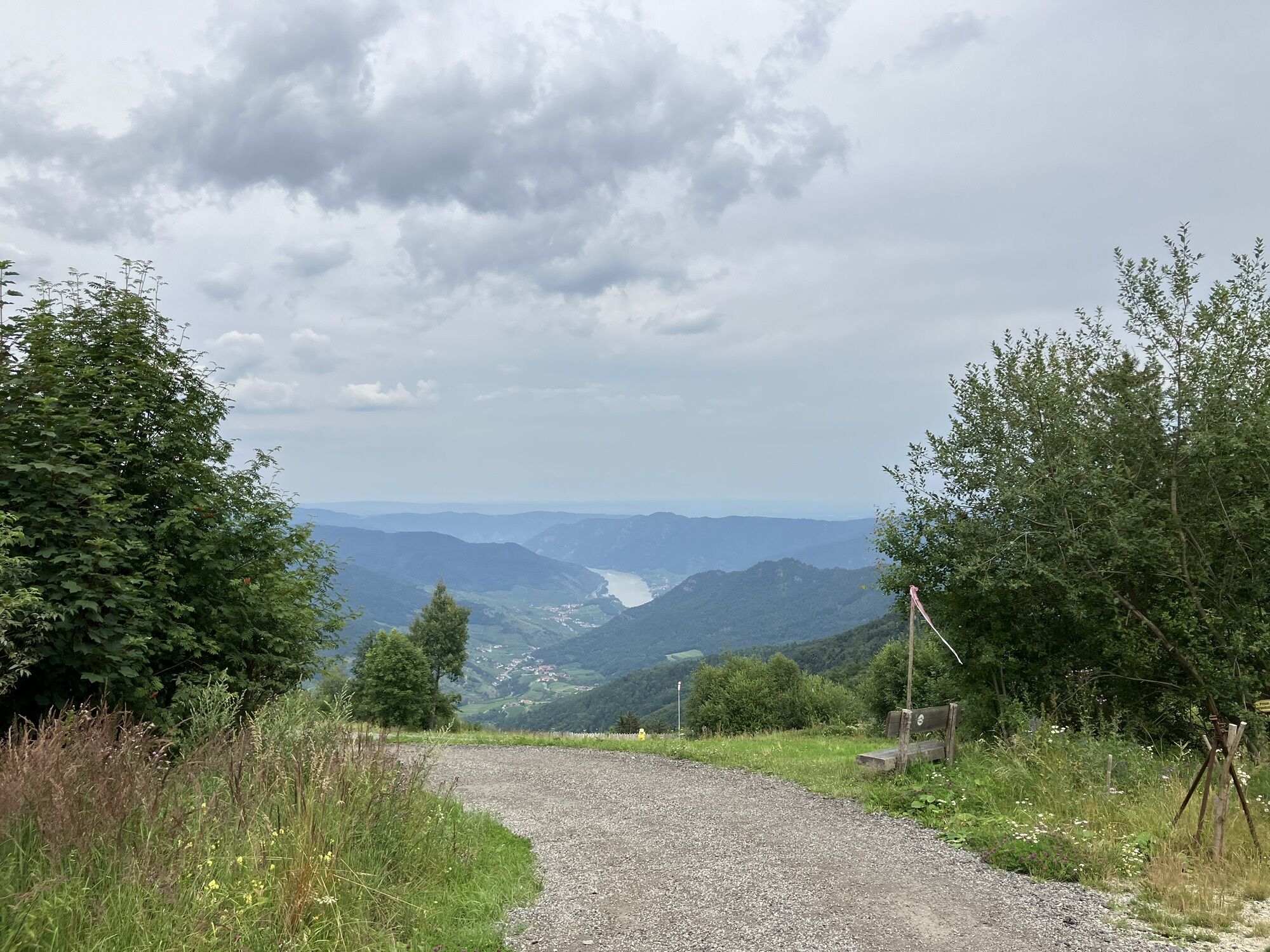
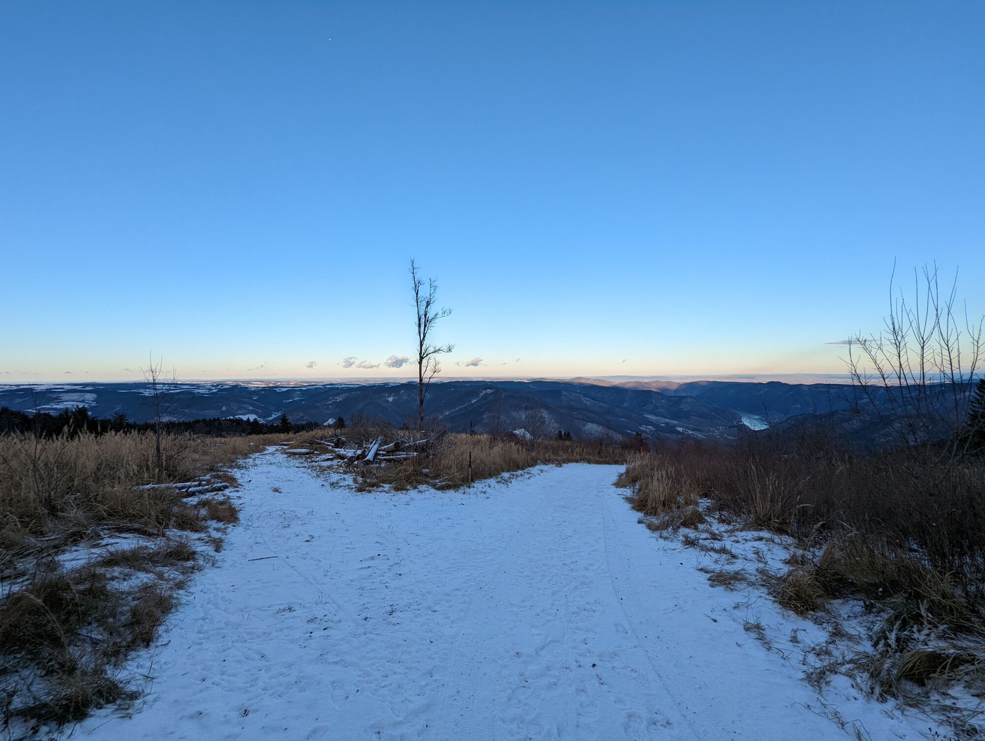
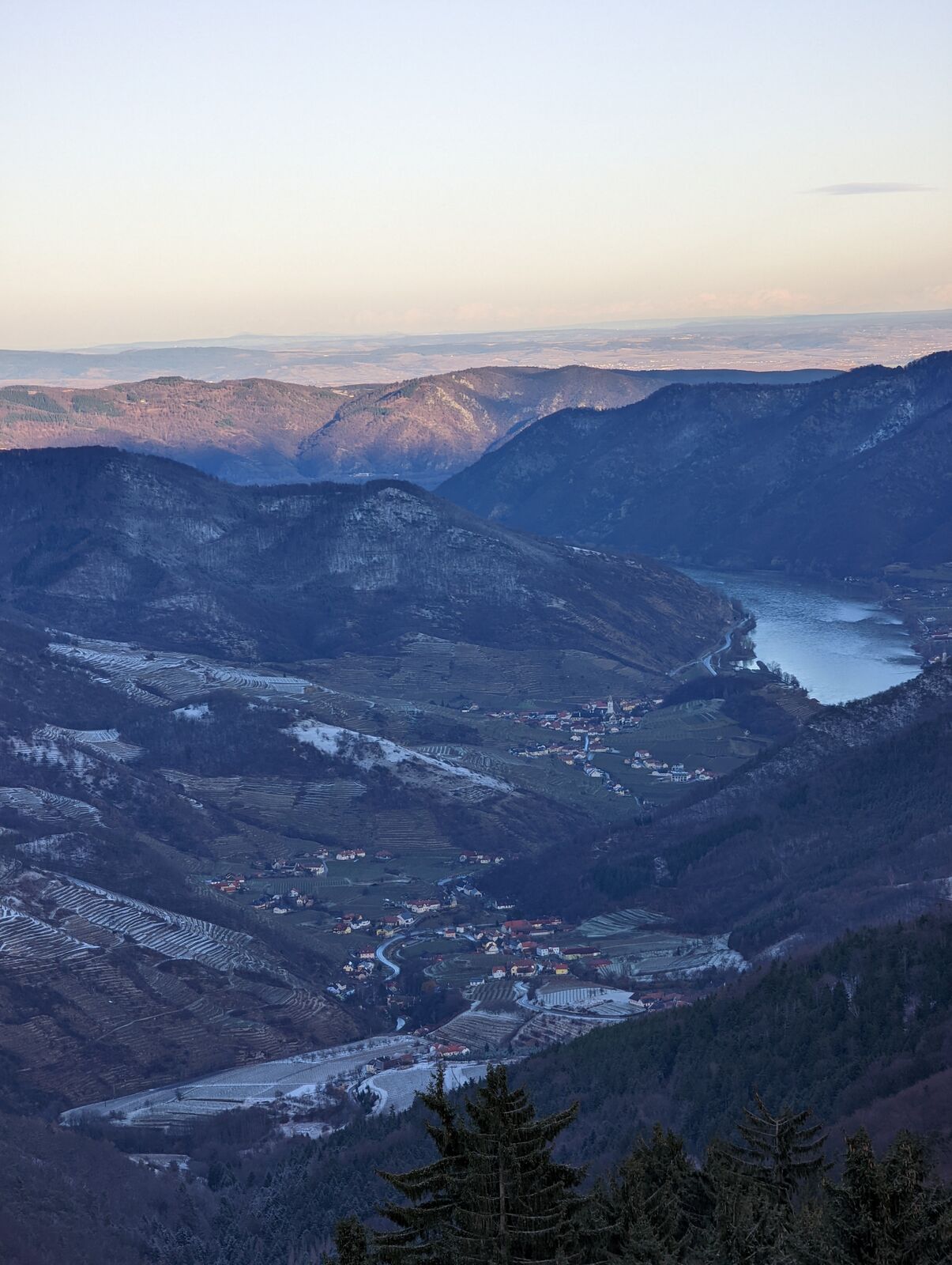
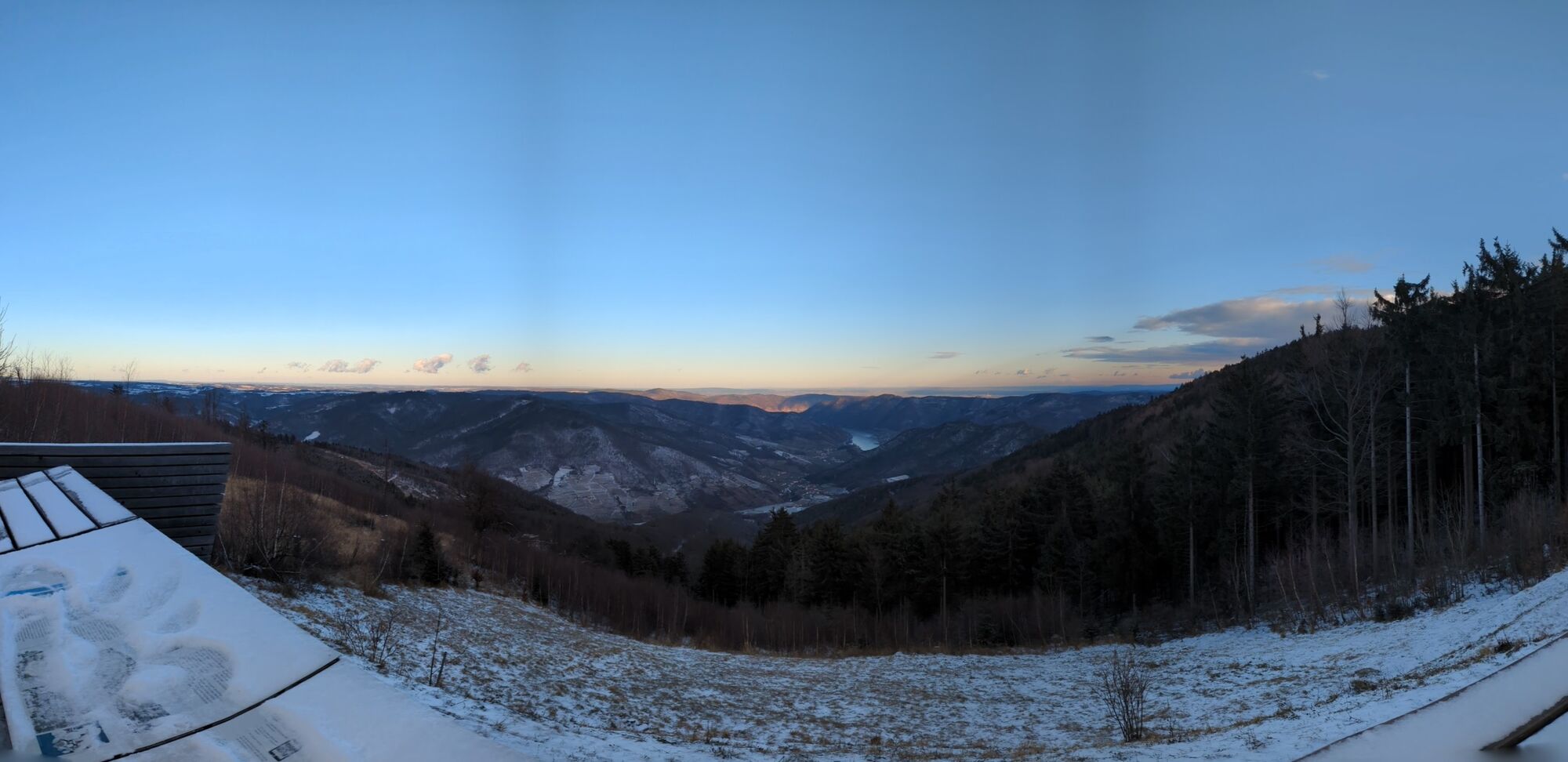
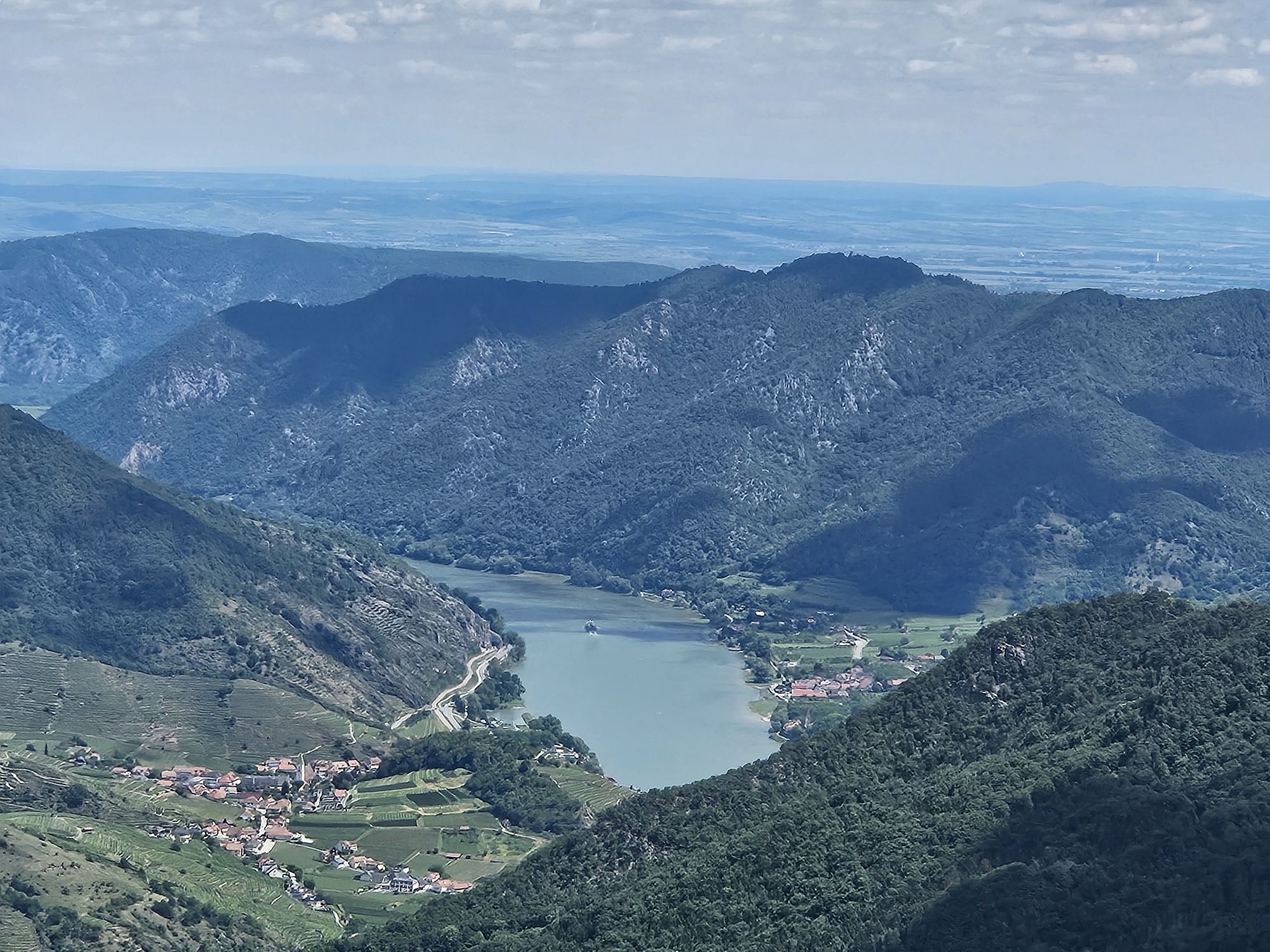
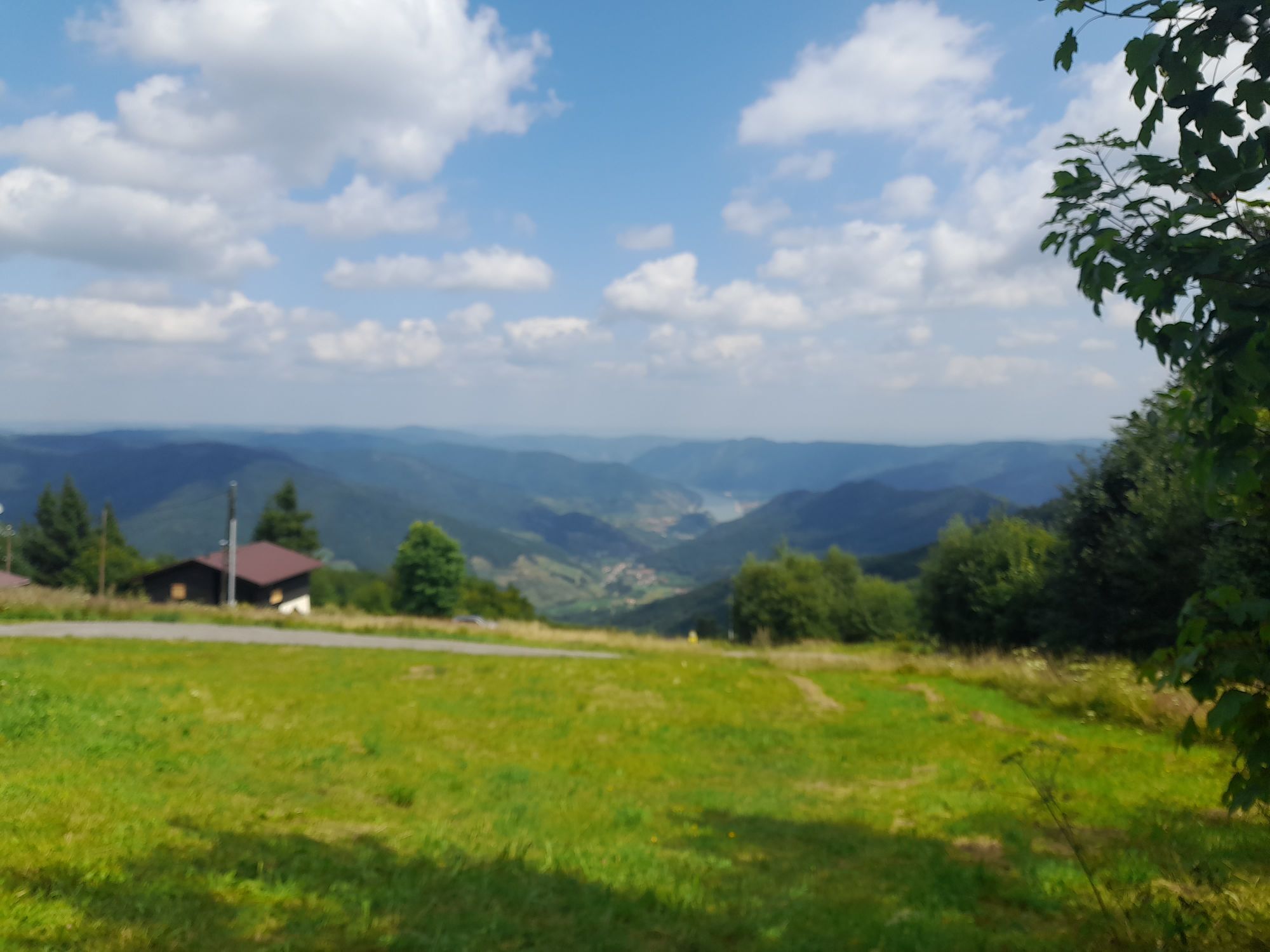
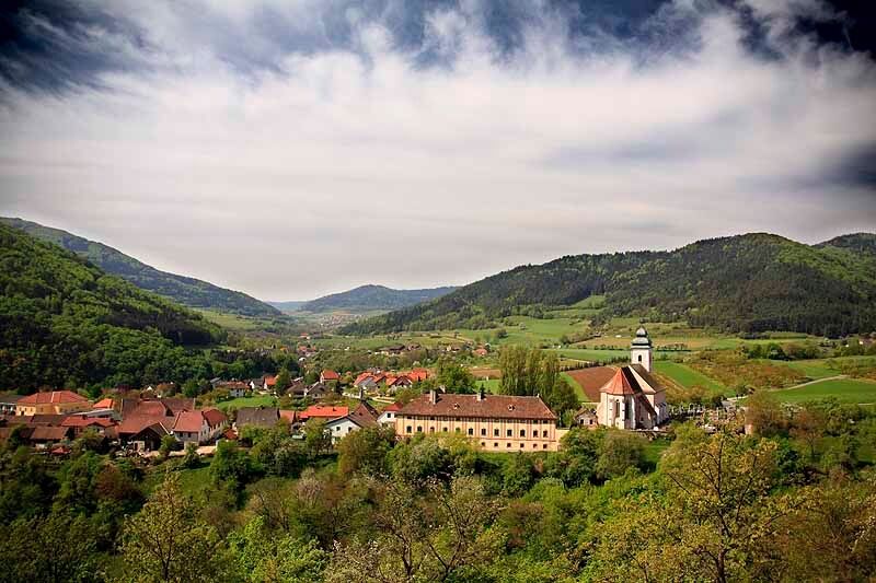
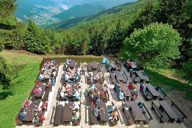

We start at the old millwheel in the center of Mühldorf and walk along the main street toward Spitz. We pass the “Weissen Rössl” inn and the town hall, then turn right a few meters later into a small alley. We cross the Spitzer Bach and begin the ascent to the summit of the Trennings. Caution: it’s steep here and exposed in places—sturdy footwear is essential! At the summit, we’re rewarded with a magnificent panoramic view. From the summit, the trail now leads downhill until we reach the vineyards of the Trennings—Lower Austria’s highest vineyard site. We follow a dirt road to the hamlet of Thurn. In the town center, we turn left, leave the village shortly afterward, and turn right into the forest. Now the actual ascent to the Jauerling begins. The trail generally follows an old sunken path up to the summit area. The old path is frequently crossed by new forest roads and the “WeinSteinTour” mountain bike trail, but you can’t miss it thanks to the trail markers. About an hour after leaving Thurn, we reach the “Abzweigung Vießling” junction (signposted), where you could descend toward Vießling and Spitz. After another 15 minutes, we arrive at the Nature Park Center and the Wachau Terrace—Gasthaus am Jauerling. From here, it’s about ten minutes to the summit cross and about 25 minutes to the observation deck.
The descent follows the same route or Trail No. 7 to Vießling and back along the Spitzer Bach to Mühldorf—walking time approx. 2 hrs 30 min.
Hiking boots, rain gear, drinking water, and the "Welterbesteig Wachau - Wachau World Heritage Trail" hiking map, available from Donau Niederösterreich Tourismus, www.wachau.at
Wachau Mountain Rescue Emergency Number: 140. Please note that the ascent via the Trenning to the Jauerling involves an elevation gain of over 800 meters.
Take the A1 to Melk and then the B3 to Spitz, or take the S5 or S33 to Krems and then the B3 to Spitz. From Spitz, take the B217 to Mühldorf (at the Spitz roundabout, follow the signs for Ottenschlag).
Route 715 – Melk ↔ Spitz: This regional bus route runs regularly between Melk Train Station and Spitz an der Donau, with service every hour or several times a day.It’s ideal as a feeder bus for traveling from a rail hub (e.g., Melk or Krems) to Spitz/Danube—where you can transfer to local bus line 718.
Line 718 – Spitz/Danube → Mühldorf → Raxendorf → Pöggstall: For more information, visit www.vor.at
Mühldorf, Market Square
Person responsible for the content of this tour:
Wachau-Nibelungengau-Krems Valley ("Kremstal" in German):
At the Hoher Jauerling, the nature park offers a themed trail. The trail, titled “Above Us, the Wide, Wide Sky,” is perfect for a leisurely stroll and provides information about the Jauerling, the nature park’s municipalities, and the region’s flora and fauna. Even younger hikers will find it motivating to stroll through the forest along the 10 stations, which can be explored using an app. More information (including a map and audio sample) is available at http://www.naturpark-jauerling.at/?page_id=3828.
Nature Park Center – Gasthaus am Jauerling: www.naturpark-gasthaus.at.
Observation Tower: April through November, daily 9:30 a.m.–6:00 p.m., https://aussichtswarte-jauerling.jimdo.com/
For dining and lodging, we recommend the certified “Best of Wachau” establishment: Gasthof Weißes Rössl ***, www.7handl.at, Tel +43(0)2713/8257
Combining the ascent via Mühldorf with the descent to Spitz creates a highly recommended traverse of the Jauerling—Stage 07 (Mühldorf–Spitz) of the Jauerling Loop.
The large parking lot by the ski lift is available free of charge as a RV parking area during the summer.

Popularne wycieczki w okolicy
-
4,4
Welterbesteig Wachau 02: Dürnstein-Weißenkirchen
światłodługodystansowy szlak pieszy 15,9 km -
4,5
Welterbesteig Wachau 03: Weißenkirchen-Spitz
światłodługodystansowy szlak pieszy 10,4 km -
4,8
Vogelbergsteig -Kanzel- Fesselhütte - Ruine Dürnstein zum Heurigen in Furth
średniWędrówka 7,59 km -
4,7
Wachau: Seekopf - Hirschwand
średniWędrówka 10,4 km -
4,7
Rundhöhenwanderweg Weißenkirchen in der Wachau - Schildhütten - Cholerakreuz - Weißenkirchen
światłoWędrówka 8,70 km -
4,6
Krems (Welterbesteig) - Dürnstein - Vogelbergsteig - Kanzel - Fesslhütte - Krems
średniWędrówka 18,0 km -
4,6
AGGSTEIN Ruine, Aggstein, Druidentürme und zurück 20241019
średniWędrówka 7,50 km -
4,6
Maria Langegg - Rote Wand - Hoher Stein - Kastlkreuz
średniWędrówka 11,4 km -
4,5
Panoramaweg Weissenkirchen
światłoWędrówka 5,04 km -
4,8
Wachau: Panoramaweg Rossatz
światłoWędrówka 10,8 km
Wędrówki i tropienie


Nie przegap ofert i inspiracji na następne wakacje
Twój adres e-mail została dodana do listy mailingowej.





