







Krummnußbaum 1 - Kleine Dorfrunde
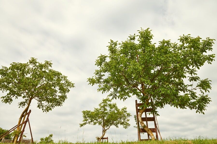
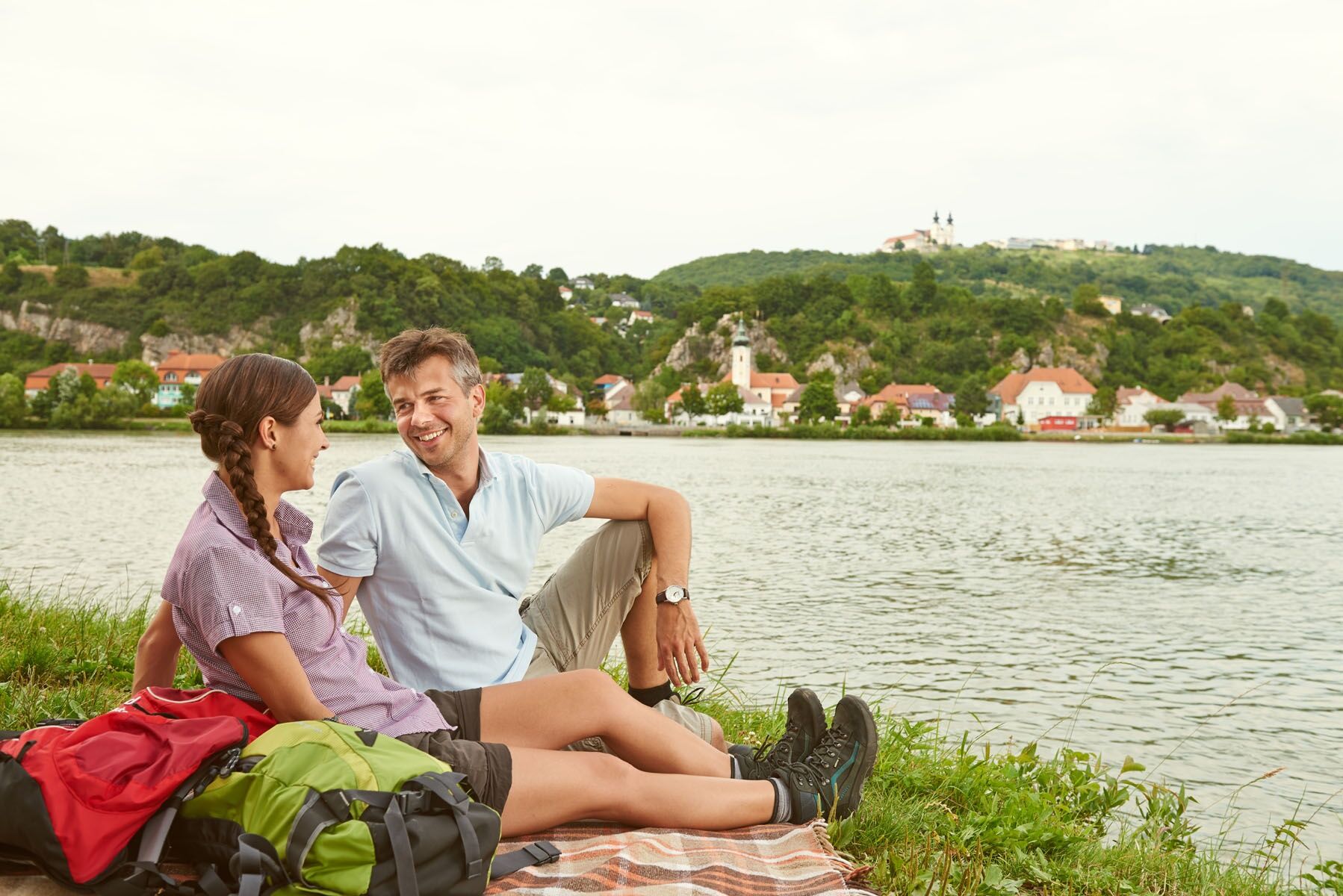

This short, easy, and flat loop through the village of Krummnußbaum takes you past the Nusserl Inn, a playground, and along the Danube. It’s ideal for beginners and those getting back into running. The route then winds through a residential area back to the starting point.
We recommend hiking boots, a backpack, a hiking map and/or a mobile route planner, weatherproof clothing (e.g., rain gear), a hat, sunscreen, a first-aid kit, possibly a flashlight, and enough food and drink to keep your energy up (water, snacks).
Please note the following tips and guidelines:
· Stay on the marked trails.
· Wear hiking boots.
· Use hiking poles.
· Rain gear is always advisable.
· Bring a hiking map with you.
· Carry enough drinking water with you.
· Please do not leave your trash behind on the trail.
· Respect the sensitive habitats of flora and fauna.
You undertake the suggested hikes at your own risk and on your own responsibility.
Krummnußbaum is accessible via the A1 Westautobahn; take the Pöchlarn exit. At the exit, take the second exit at the roundabout toward Pöchlarn. Drive through the town, and after passing the fire station (about 100–150 meters), turn right toward Krummnußbaum.
Coming from Krems or Grein via Wachauerstraße (B3), cross the Danube bridge at Klein Pöchlarn. At the roundabout after the bridge, take the first exit toward Pöchlarn. Drive through the town, and after passing the fire station (approx. 100–150 meters), turn right toward Krummnußbaum.
Parking is available in town.
Person responsible for the content of this tour
Wachau-Nibelungengau-Krems Valley ("Krems Valley" in German)
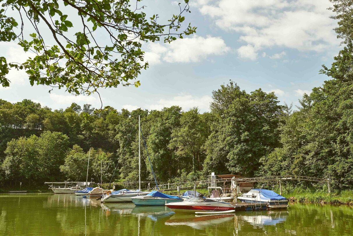
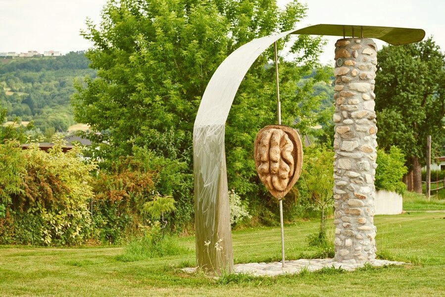
The market town of Krummnußbaum is located on the right bank of the Danube, across from Marbach and Maria Taferl. As the name suggests, you can expect a wide range of activities centered around nuts. Numerous inns and recreational facilities invite you to linger, relax, and get active. Charming circular hiking trails wind through wooded, gently rolling terrain. A worthwhile destination is the Maria Steinbründl Forest Chapel, which serves as the starting point for three “Tut-Gut” hiking trails. At the entrance to the town, there is a boat harbor with a swimming dock right on the Danube.
For more information about the community, visit http://www.krummnussbaum.at.
Attractions in the Nibelungengau region:
Ybbs-Persenbeug Visitor Power Plant, Erlauf Peace Museum, Oskar Kokoschka Center in Pöchlarn, Leiben European Castle, Artstetten Castle, Maria Taferl Basilica
Events in the Nibelungengau region and surrounding areas can be found here.
Event highlight in the Nibelungengau: Combine your hiking vacation with the summer solstice celebration “Fire Magic in the Nibelungengau” in June. One experience—two options: Celebrate on the banks of the Danube in one of the Nibelungengau communities or aboard a boat. For more information, visit www.sonnenwende.at
Event tip: Visit the “Nut Festival” on the first Saturday in October:www.nussfest.at
All availablepromotional materials for the Nibelungengau can be found here.
You can find route descriptions, including GPS tracks for download, at www.nibelungengau.at.
Popularne wycieczki w okolicy
-
4,6
Ausgedehnte Peilsteinrunde
średniWędrówka 13,7 km -
4,8
Erlaufschlucht
światłoCanyoning 4,58 km -
4,6
Purgstall Route 3 entlang der Erlauf und Umgebung
światłoWędrówka 11,6 km -
4,5
Durch die Steinwandklamm von Maria Taferl aus
światłoWędrówka 8,26 km -
4,6
Herzsteinweg Ysper und Burgsteinmauer
średniWędrówka 14,7 km -
4,9
LAIMBACH Ostrong Peilstein 20220716
średniWędrówka 7,70 km -
4,5
Welterbesteig Wachau 08: Emmersdorf-Melk
światłodługodystansowy szlak pieszy 9,90 km -
4,4
Hiesberg Gipfelkreuz Rundweg
światłoWędrówka 7,38 km -
3,8
Bärnkopf Ysperklammstrecke
ciężkiMountainbike 31,0 km -
4,8
Castle stone wall 975m - Variant a
średniWędrówka 5,26 km
Wędrówki i tropienie


Nie przegap ofert i inspiracji na następne wakacje
Twój adres e-mail została dodana do listy mailingowej.





