







Warther Hollabrunner Riegel trail
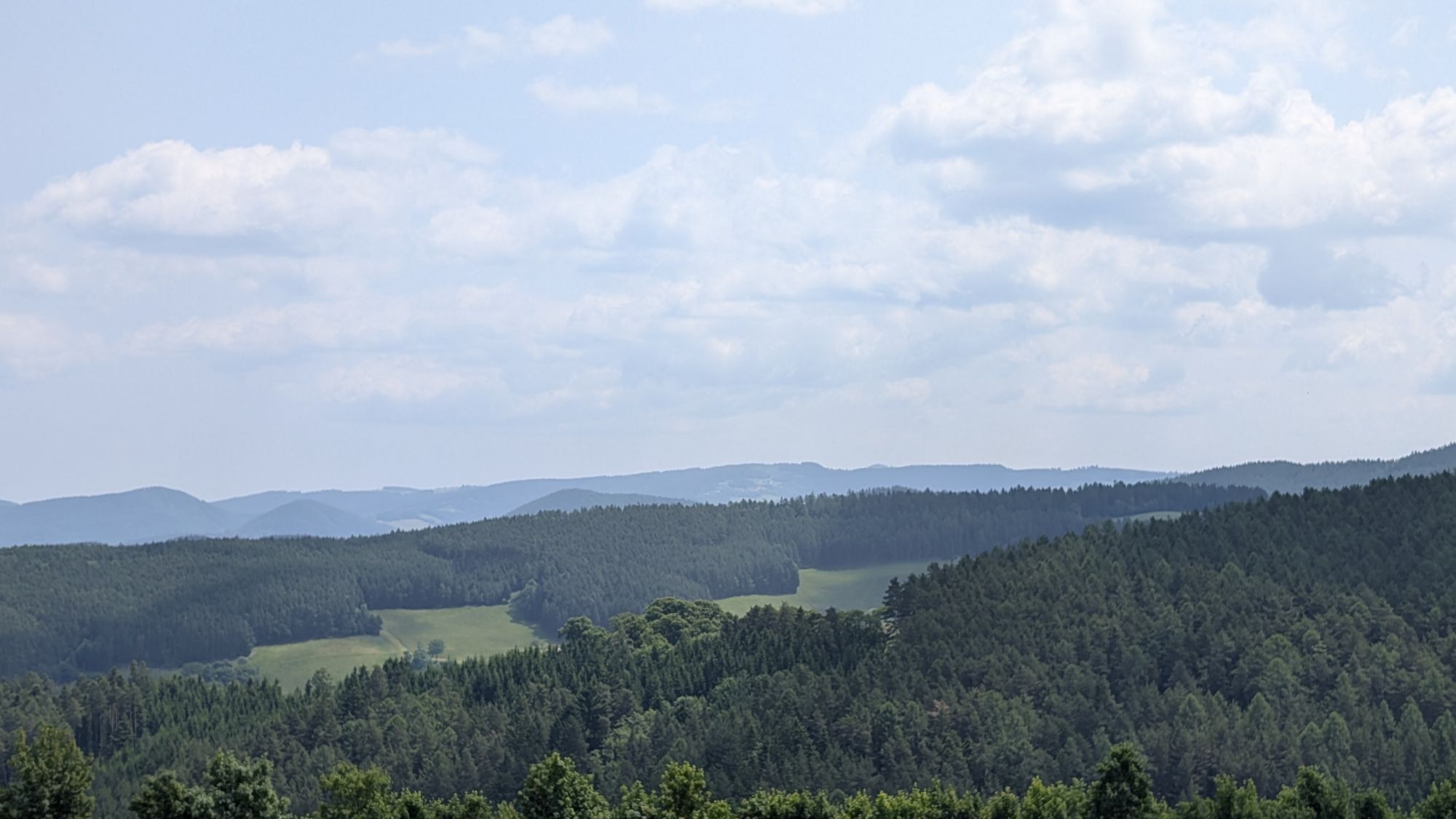
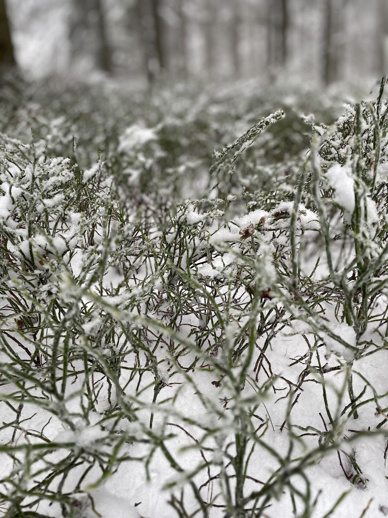
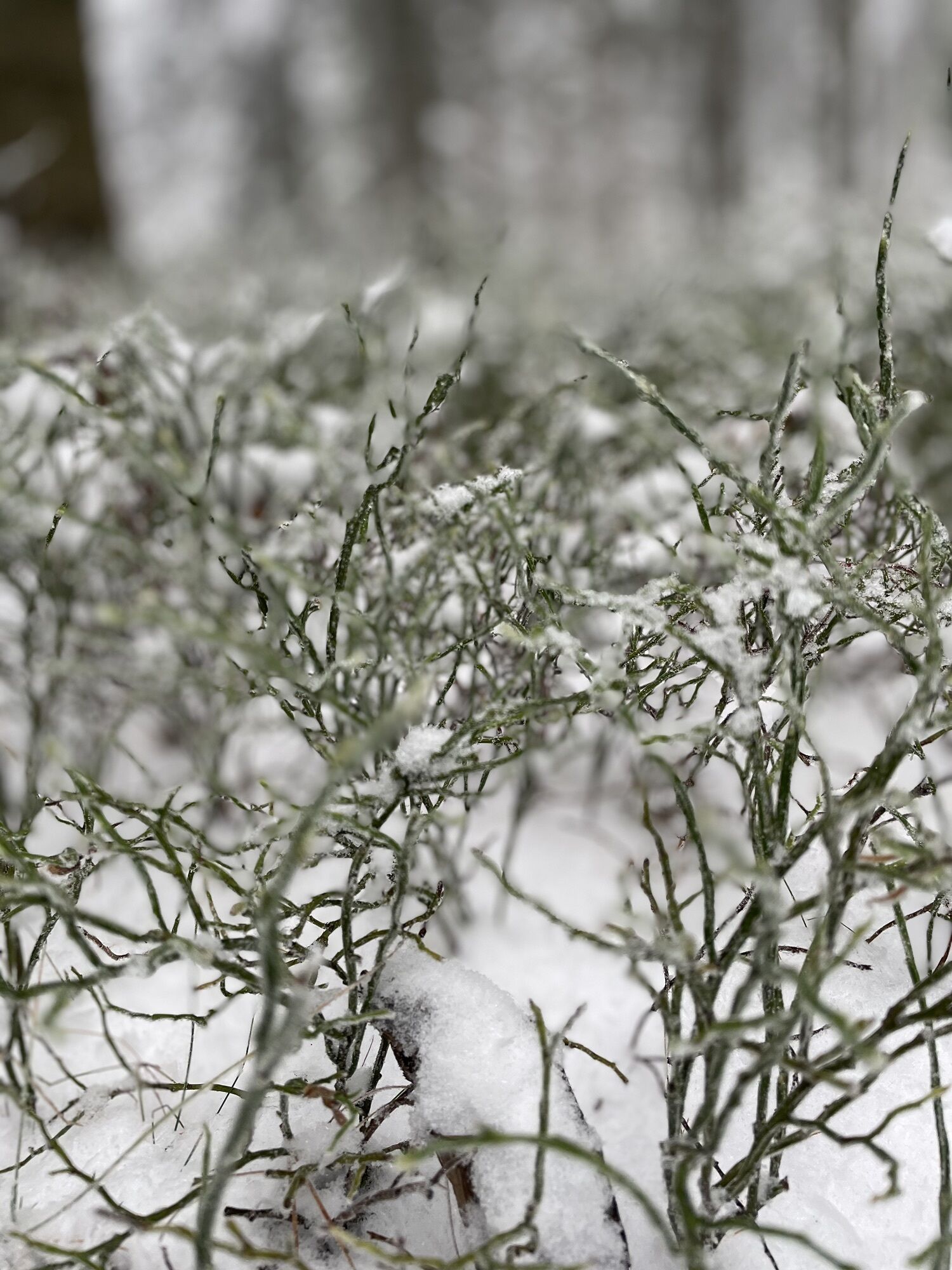
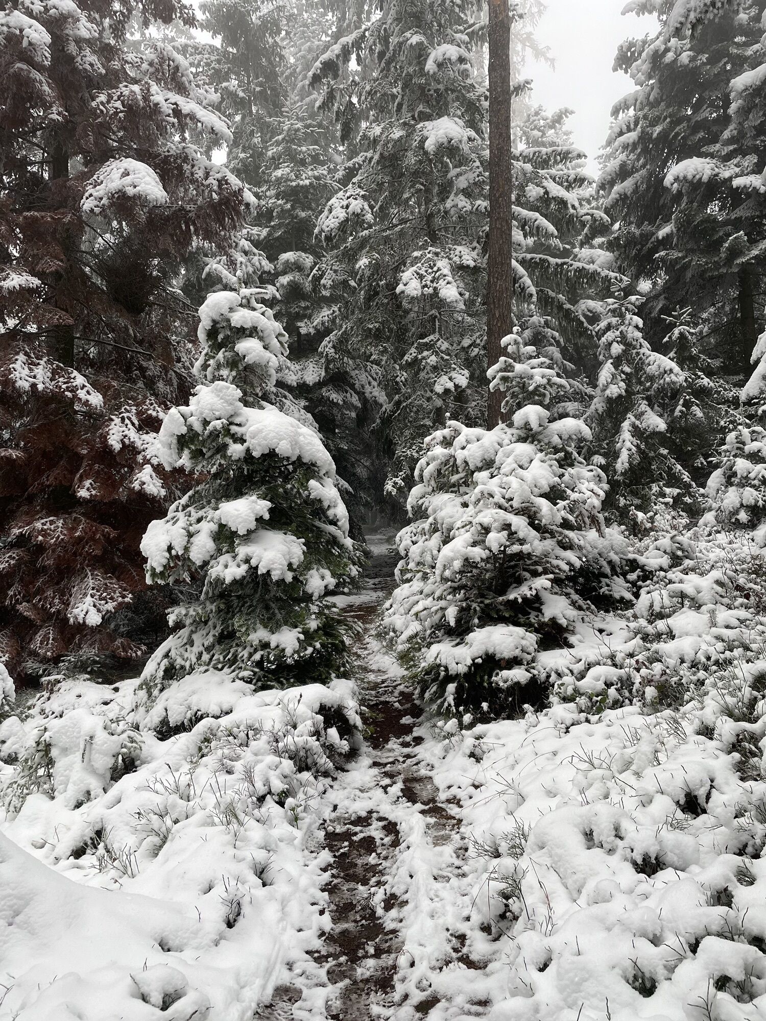
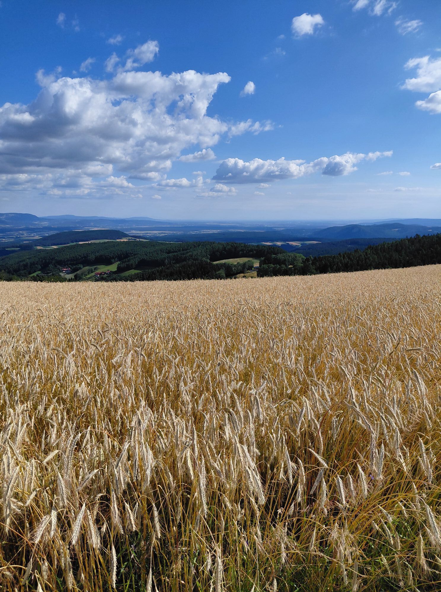
The circular hike starts in Zottlhof, leads via Kulm and Haßbach to Ödenkirchen, on to the Hollabrunner Riegel (922 m) and ends after a longer or shorter variant via Himberg and Eben back in Warth.
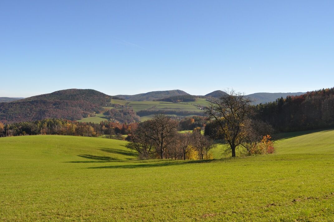

Following the green marking, past the tennis court, playground over the Haßbach, Blumenweg, Zottlhofstraße to Zottlhof, over the Nordalpenweg (marking red-white-red) over the Thanner fields, south of Thann to Kulm, a detour via the Kulmbergrunde is possible at the chapel.
From Kulm, blue marking downhill to Haßbach, refreshment option at the brewer "Haßbacher Braueck". From Haßbach uphill, past the natural monument "Bildlinde" and Haßbach ruin, in the Rotte Berg, natural monument "4 Lindens", over forest and field paths with good views of Rax and Schneeberg to Ödenkirchen with refreshment option at Landgasthof zum Fally. Over Ödenkirchenstraße (yellow marking) and through the Rotte Schaffernak to the Urbans Chapel. At Grubbauernhöhe, a new rest area, turn left uphill to the highest point, the Hollabrunner Riegel (922 m).
Following the green marking to Himberg and Eben. Here, there is the possibility to take the longer route over the Kulmriegel. The shorter variant leads over Zierhof (Mostheuriger) to Maierhöfen. From there downhill to Palm (natural monument 1000-year-old linden and dry grassland biotope) to Warth.
Refreshment options: Gasthaus Brunner, Café-Bakery Fischböck, Kaffeehaus Siaß' Eck, drinking water fountain at the market square
Wear suitable clothing and sturdy footwear. Remember rain and sun protection. Take enough to drink with you.
Always bring suitable maps. Wear sturdy shoes adapted to the route, take sun and rain protection, as well as water and a small snack. Bring your mobile phone and save the mountain rescue emergency number: 140
Your hikes in the Vienna Alps should be an all-round beautiful and safe experience. Please observe the following:
Preparation
Make sure when choosing the route that it matches your experience and fitness level. Check the weather forecast beforehand. The weather in the mountains can change surprisingly quickly. Therefore, always start out suitably equipped (e.g., rain protection).
Check whether the huts and snack stations you want to visit along the way are open. Inform someone about your route choice and planned return before you start.
More safety tips for your hike can be found here.
A2 to the Grimmenstein exit, then left onto the federal road to Warth (market square)
More information can be found at www.oebb.at and www.vor.at
Parking spaces available in the village
Vienna Alps in Lower Austria, www.wieneralpen.at, +43 / 2622 / 78960
Opening hours: Mon - Thu 08:30 - 16:00 / Fri 08:30 - 13:00
Adventure region Bucklige Welt south, www.buckligewelt.info, +43 / 676 / 3509806
Popularne wycieczki w okolicy
-
3,8
Schwaigen Rundwanderung
światłoWędrówka 8,24 km -
4,7
Hochwechsel-Runde, Waldbach-Mönichwald
średniWędrówka 17,9 km -
3,8
St. Corona - Kampstein
średniWędrówka 10,7 km -
4,7
Hochwechsel - Tour
Wędrówka 18,5 km -
4,9
Flatzer Wand Wanderung
światłoWędrówka 5,62 km -
4,6
Prigglitz - Pottschacher Hütte - Rote Wand - Prigglitz
światłoWędrówka 8,80 km -
4,6
Mariensee - Wildwasserweg - Marienseer Schwaig
światłoWędrówka 8 km -
4,5
Bucklige Welt: Auf dem Pittentaler Klettersteig zum Türkensturz
średniVia ferrata 1,96 km -
4,5
Hochwechsel
średniWędrówka 14,3 km -
4,5
Sonnwendstein
średniWędrówka 9,40 km
Wędrówki i tropienie


Nie przegap ofert i inspiracji na następne wakacje
Twój adres e-mail została dodana do listy mailingowej.





