






Hike Knappenhofweg - Ponweiser Chapel - Schaueregg
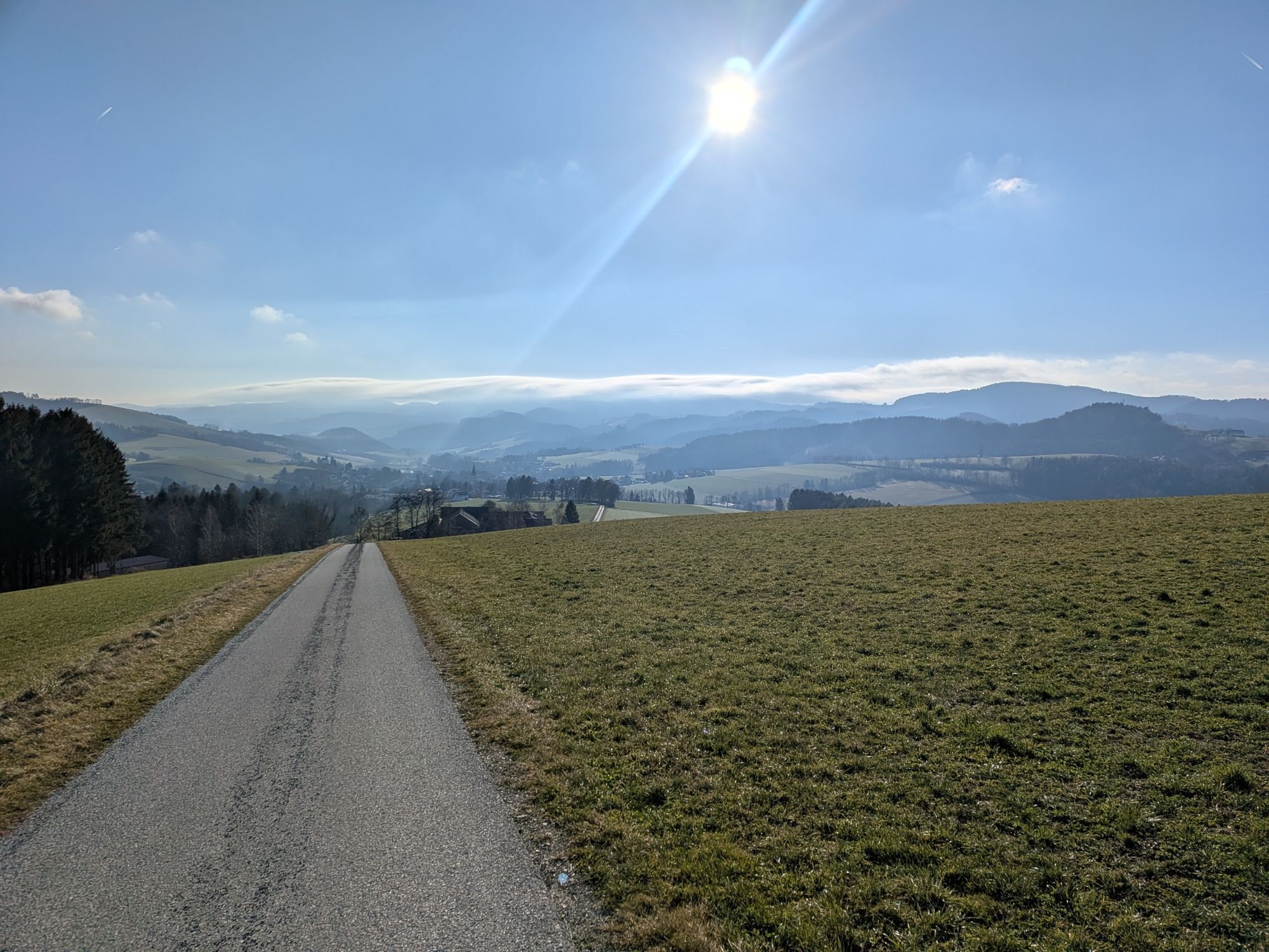
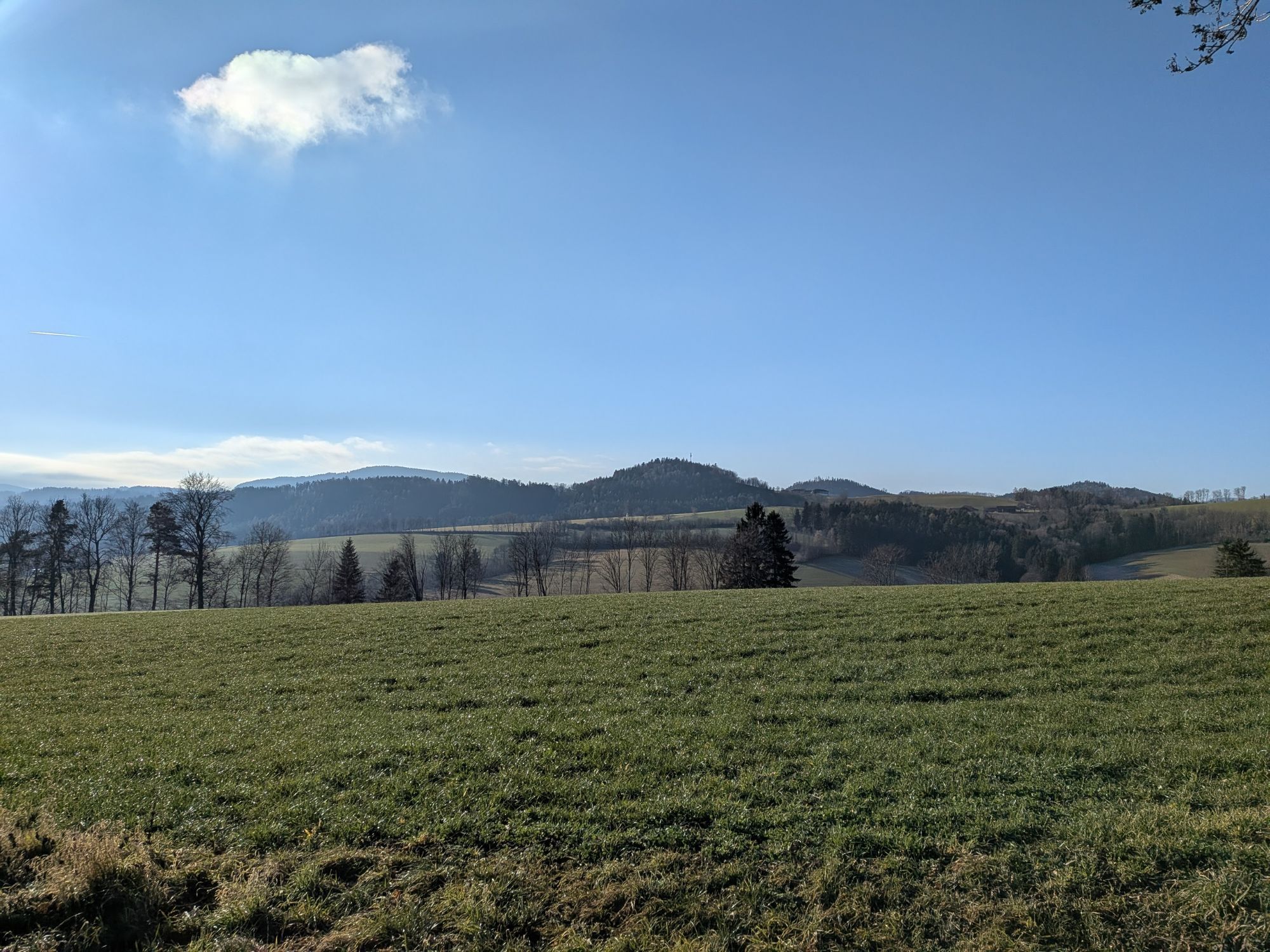
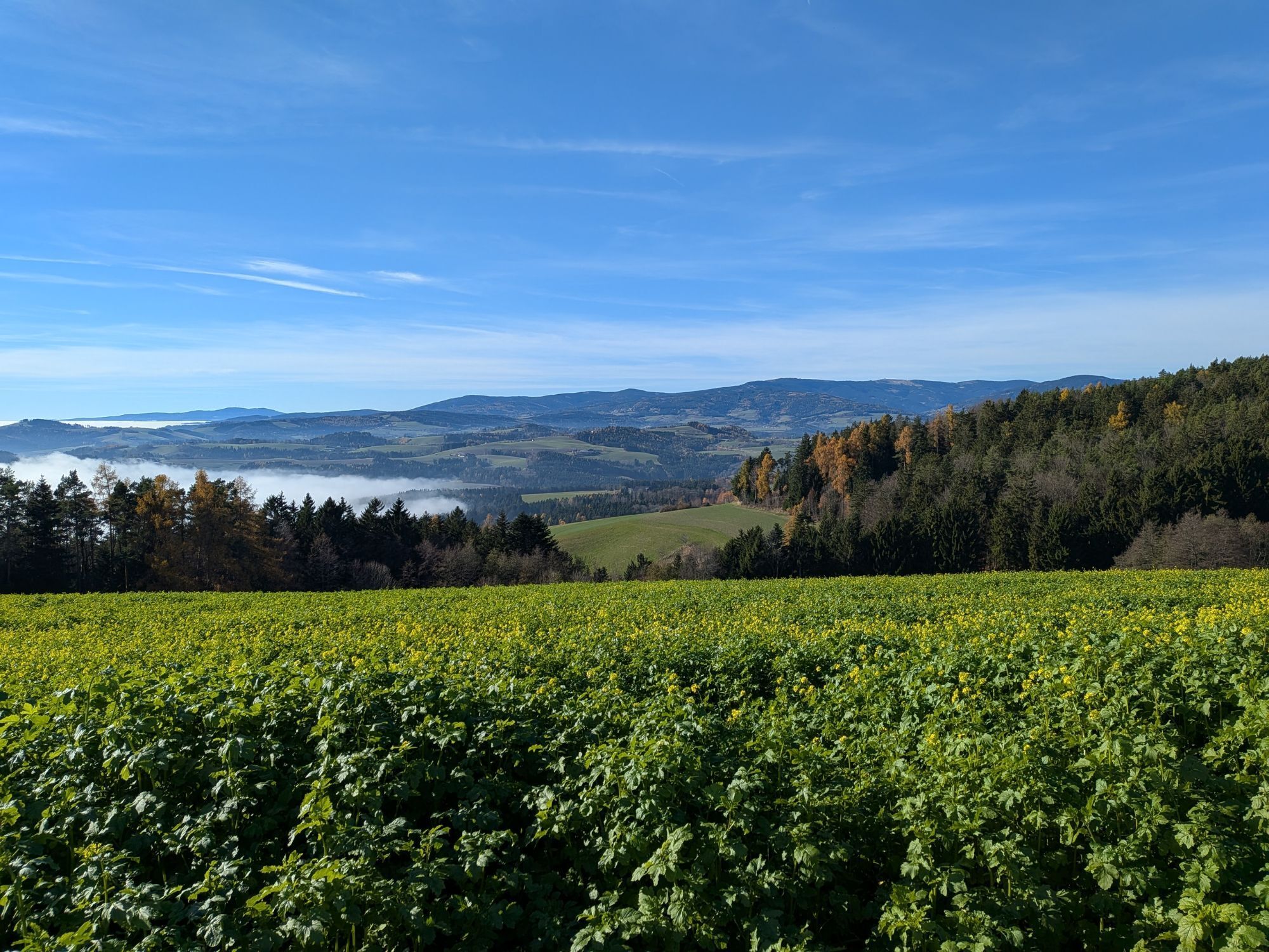
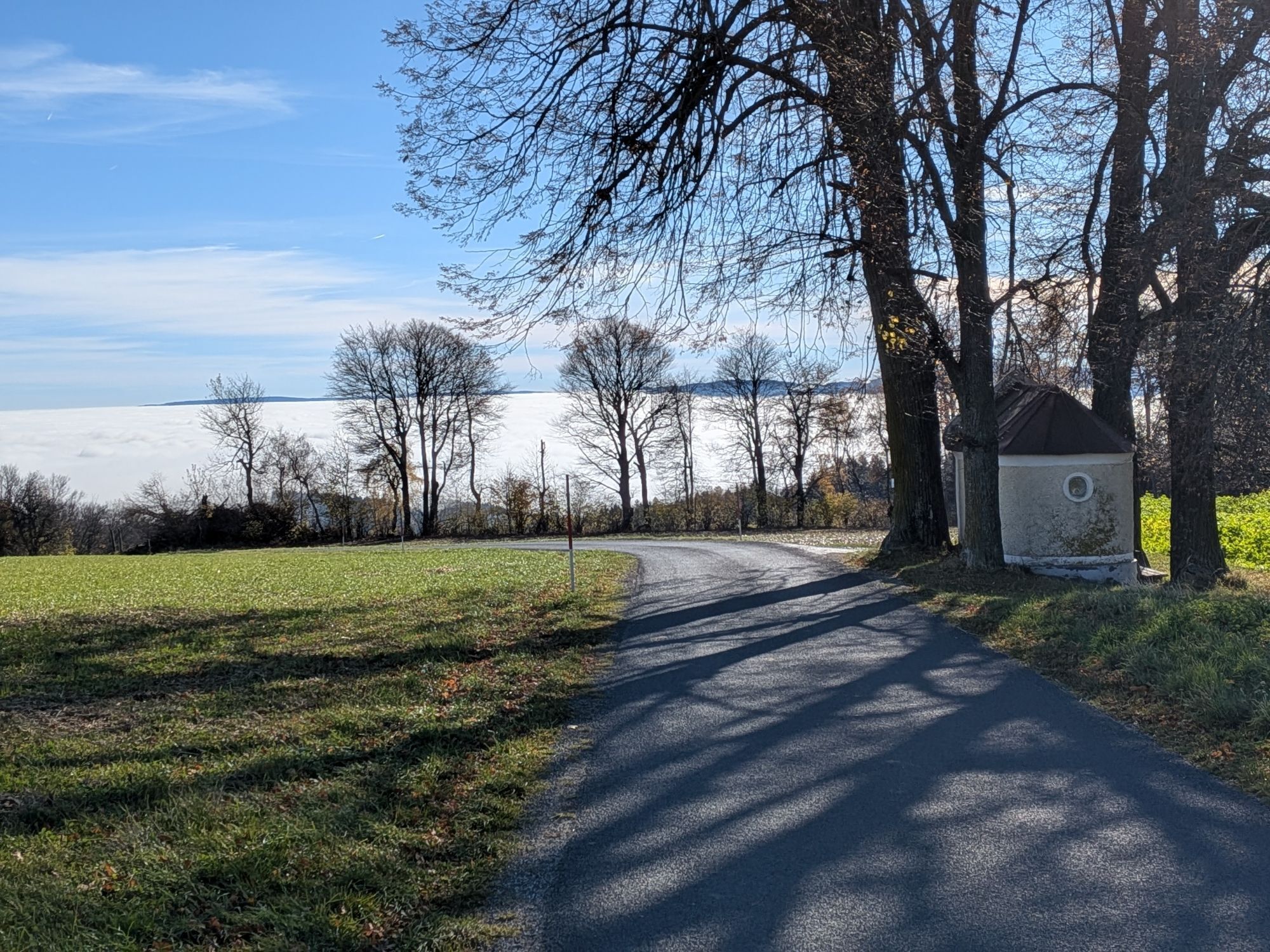
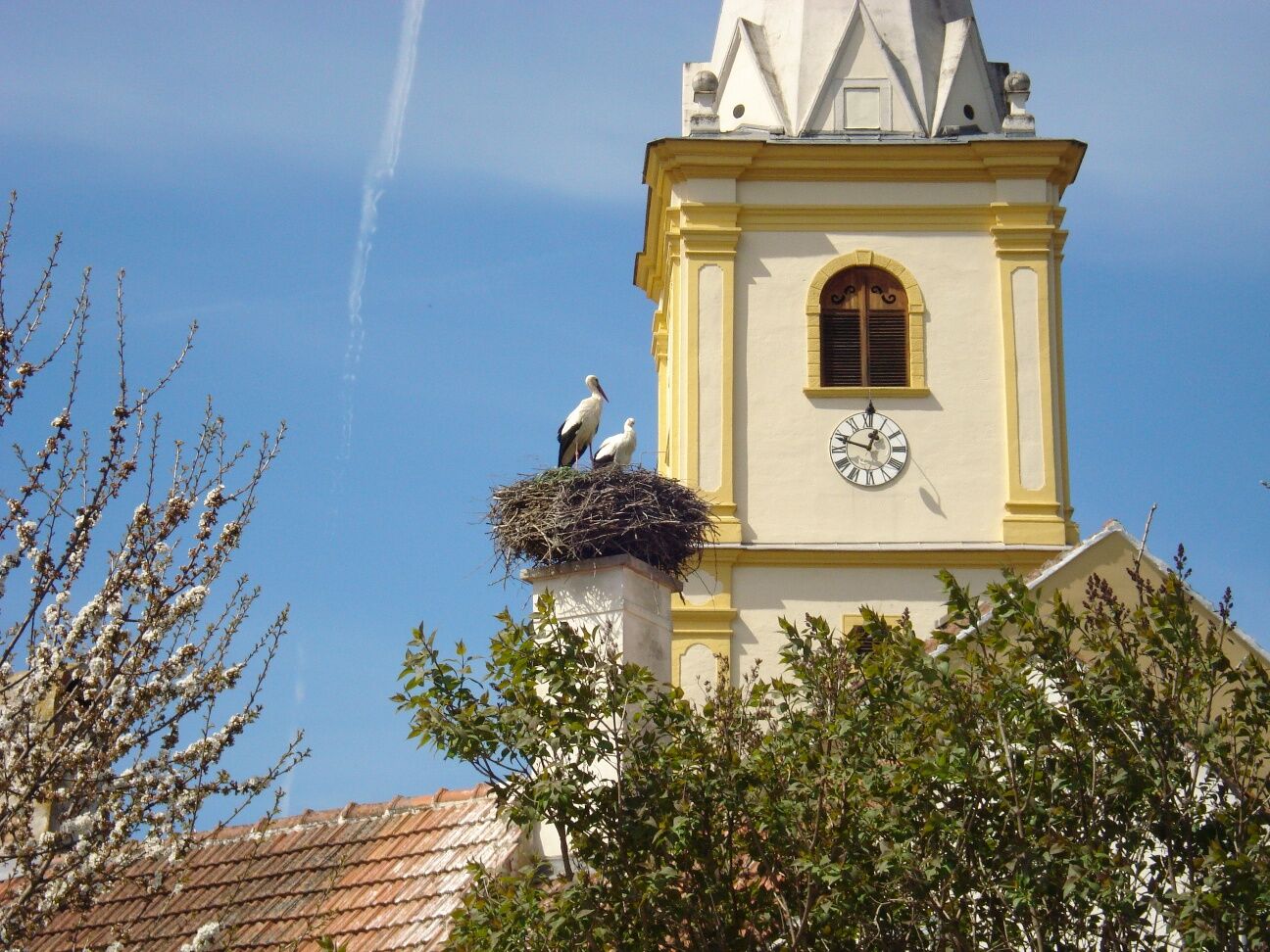
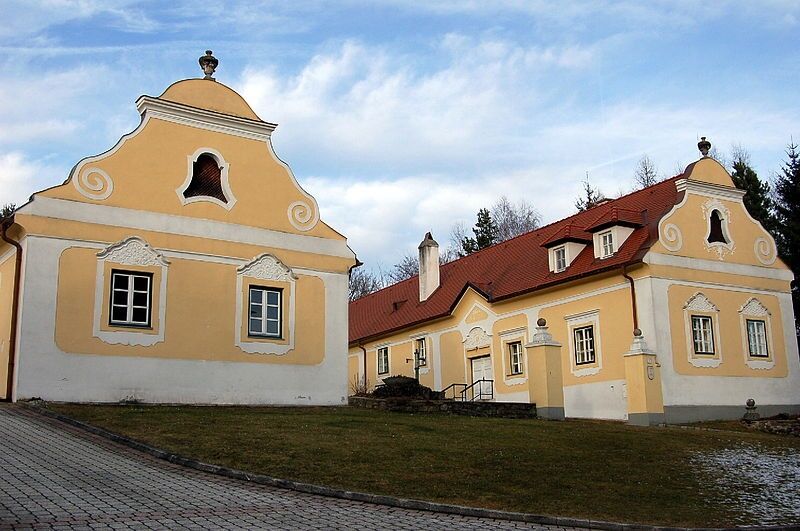
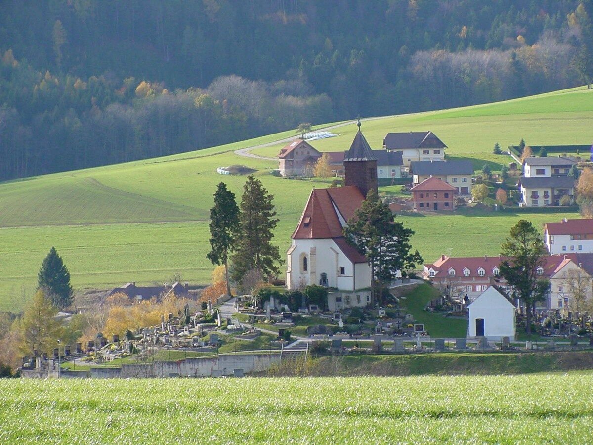
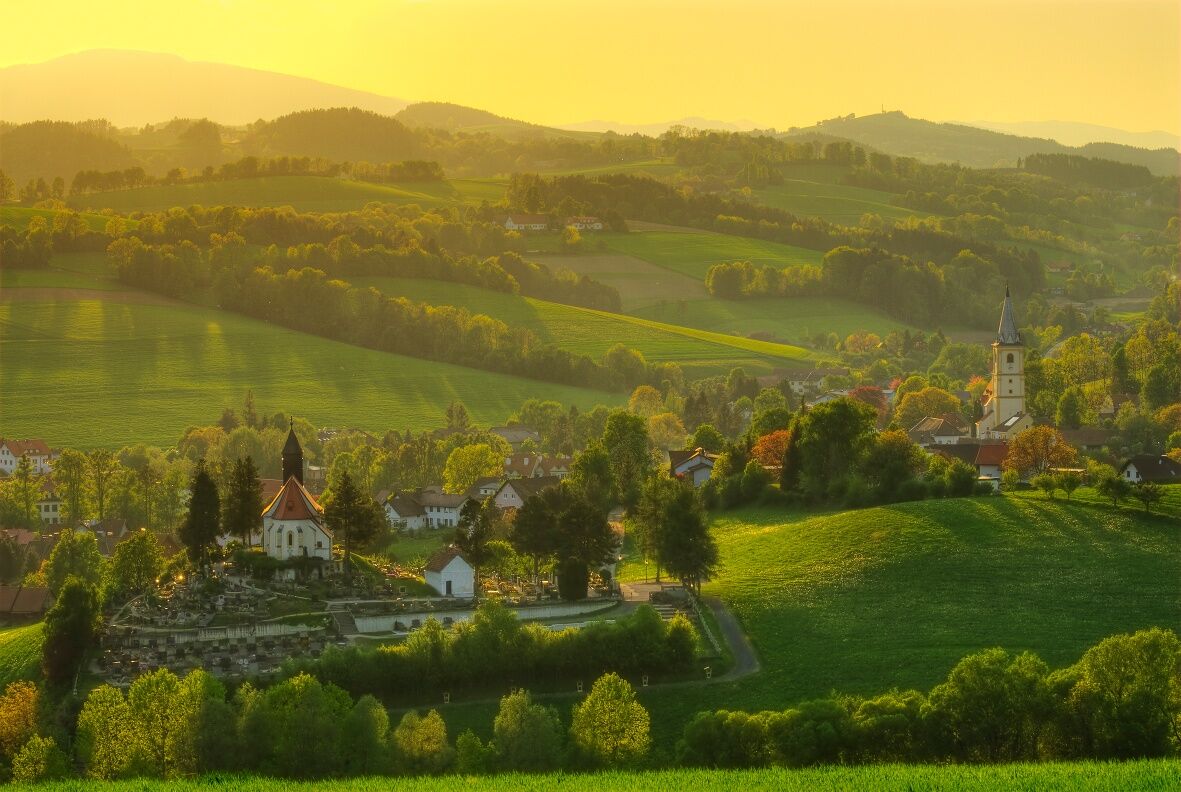

From the Krumbach municipal car park, go left along Marktstraße and then turn right into Kirchenstraße, from here follow the orange marker. Via Knappenhofweg, past the Peinthor Materl, continue uphill to the Ponweiser Chapel. At the chapel, turn right onto the paved road towards Schaueregg Krumbach.
Always bring suitable maps. Wear sturdy shoes appropriate for the route, take sun and rain protection as well as water and a snack. Bring your mobile phone and save the mountain rescue emergency number: 140
Your hikes in the Vienna Alps should be an entirely enjoyable and safe experience. Please note the following:
Preparation
Make sure the chosen route matches your experience and fitness. Check the weather forecast beforehand. Weather can change quickly in the mountains. Always set off equipped accordingly (e.g. rain protection).
Check if the huts and snack stations you plan to visit are open. Inform someone about your route and expected return before setting out.
Find more safety tips here.
From Vienna: Take the A2 South Motorway towards Graz, take the Krumbach exit. Continue on Kirchschlager Str./B55. In Krumbach turn left onto Marktstraße. Then turn right to stay on Marktstraße.
From Graz: Take the A2 South Motorway towards Vienna, take the Aspang-Zöbern exit. Turn right onto L137. Continue on Kampichl and Hauptstraße. In Zöbern, Hauptstraße turns left and becomes Austraße. Follow L137 to Unterhaus near Krumbach and turn left onto Kirchschlager Str./B55. Continue on B55. Turn right onto Marktstraße and then left to stay on Marktstraße.
More information at www.oebb.at and www.vor.at
Parking available at the municipal car park.
Vienna Alps in Lower Austria, www.wieneralpen.at, +43 / 2622 / 78960
Opening hours: Mon - Thu 08:30 - 16:00 / Fri 08:30 - 13:00
Combine your hike with a stay in Krumbach. The Krumbacherhof is bookable directly online.
Other dining options:
Gasthaus Heissenberger
Piri’s Gasthaus
Uzyskaj wgląd
Zawsze na żywo z ponad 9 500 kamer internetowych. bergfex Jako użytkownik Pro, możesz teraz zobaczyć odpowiednie kamery internetowe dla wielu wycieczek w aplikacji wycieczki od. Pozwala to na bezpośredni podgląd aktualnych warunków.
Popularne wycieczki w okolicy
-
4,5
Bucklige Welt: Auf dem Pittentaler Klettersteig zum Türkensturz
średniVia ferrata 1,96 km -
4,2
"Weg der Blicke"
światłoWędrówka 5,86 km -
5,0
Seebenstein - Türkensturz - Burg Seebenstein
światłoWędrówka 7,50 km -
4,4
Bad Schönau - Hutwisch
światłoWędrówka 9,99 km -
4,3
Türkensturz Rundwanderung
średniWędrówka 2,56 km -
4,0
Bucklige Welt: Burg Grimmenstein und Kulmriegel
światłoWędrówka 10,5 km -
4,7
Mönichkirchner Genussrunde
światłoWędrówka 10,1 km -
4,4
BAD-SCHÖNAU Hutwisch und wieder zurück 20220611
średniWędrówka 10,8 km -
4,2
Türkensturz große runde
średniWędrówka 11,4 km -
4,8
Bakabu children's adventure trail to Hutwisch
średniTrasa tematyczna 5,42 km
Wędrówki i tropienie


Nie przegap ofert i inspiracji na następne wakacje
Twój adres e-mail została dodana do listy mailingowej.





