







WAB - Regional Route O: Edelweißhütte - Preintal
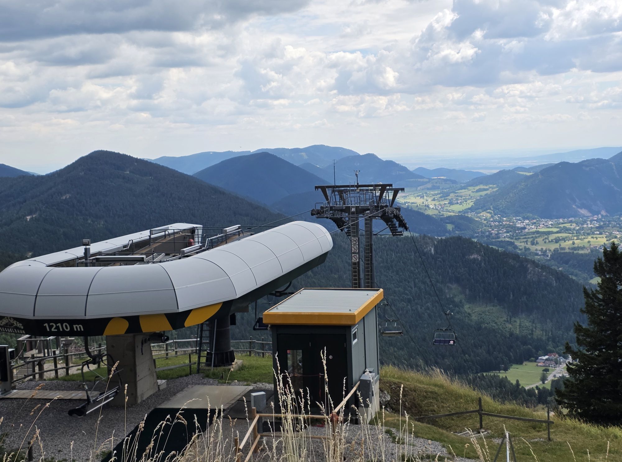
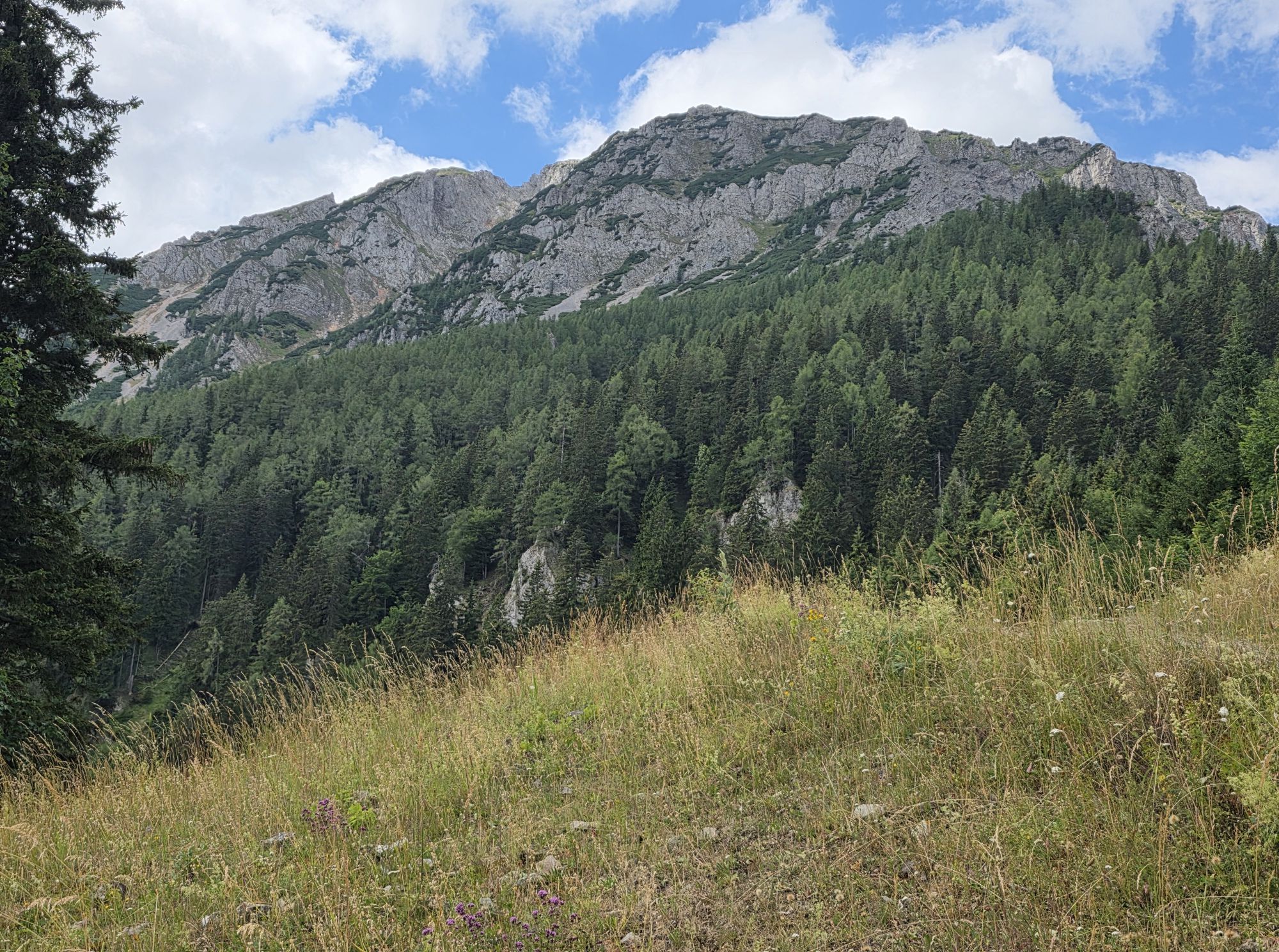
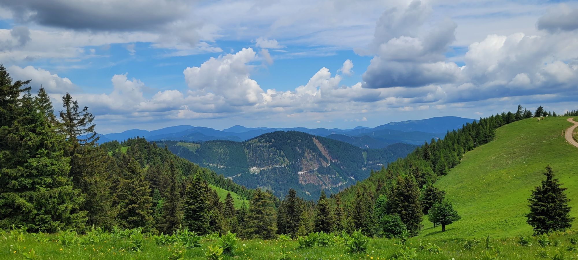


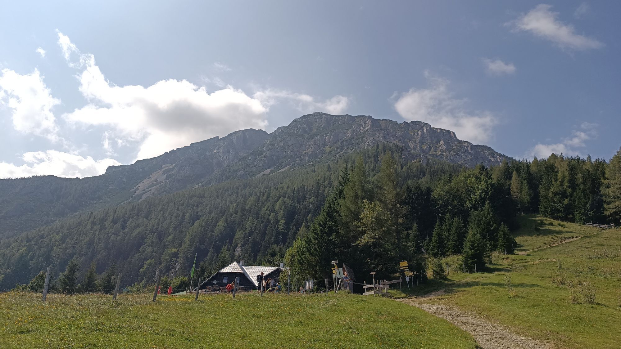
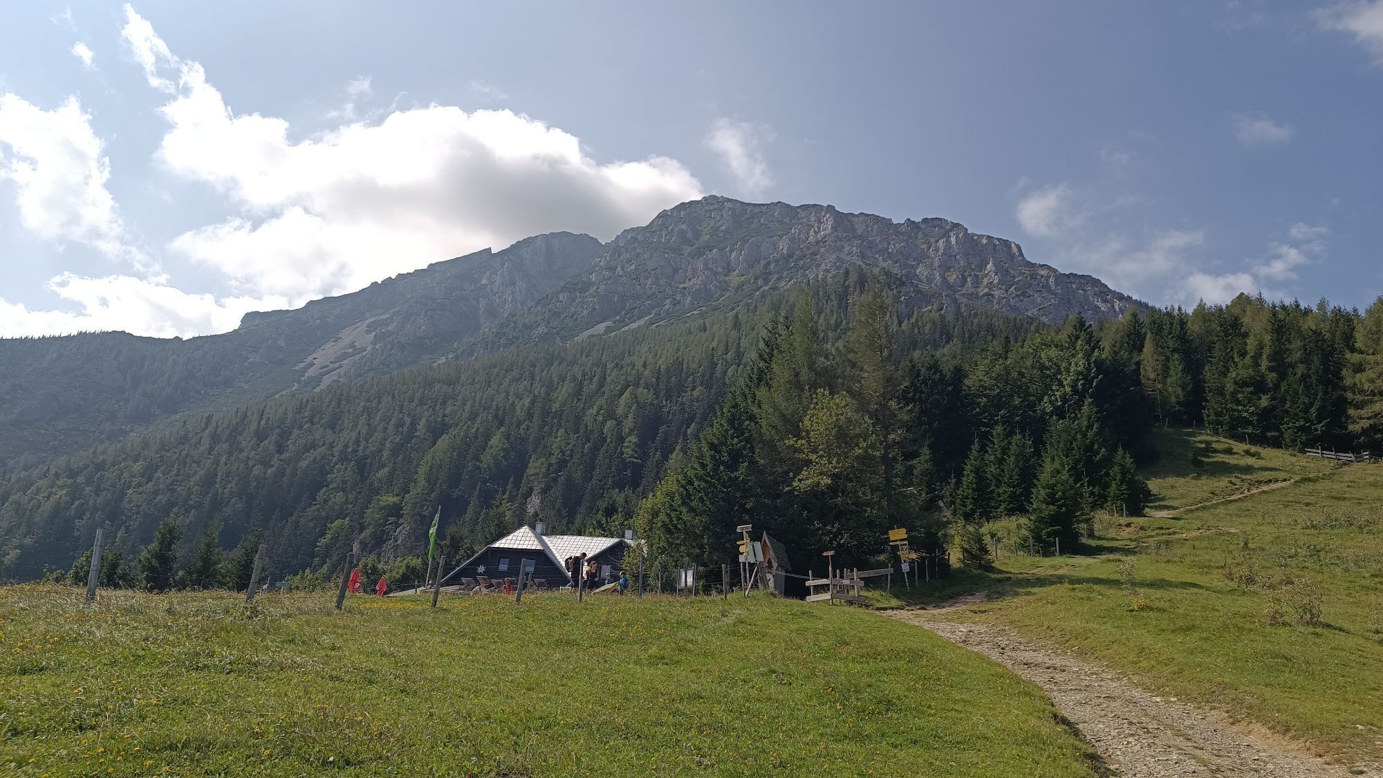

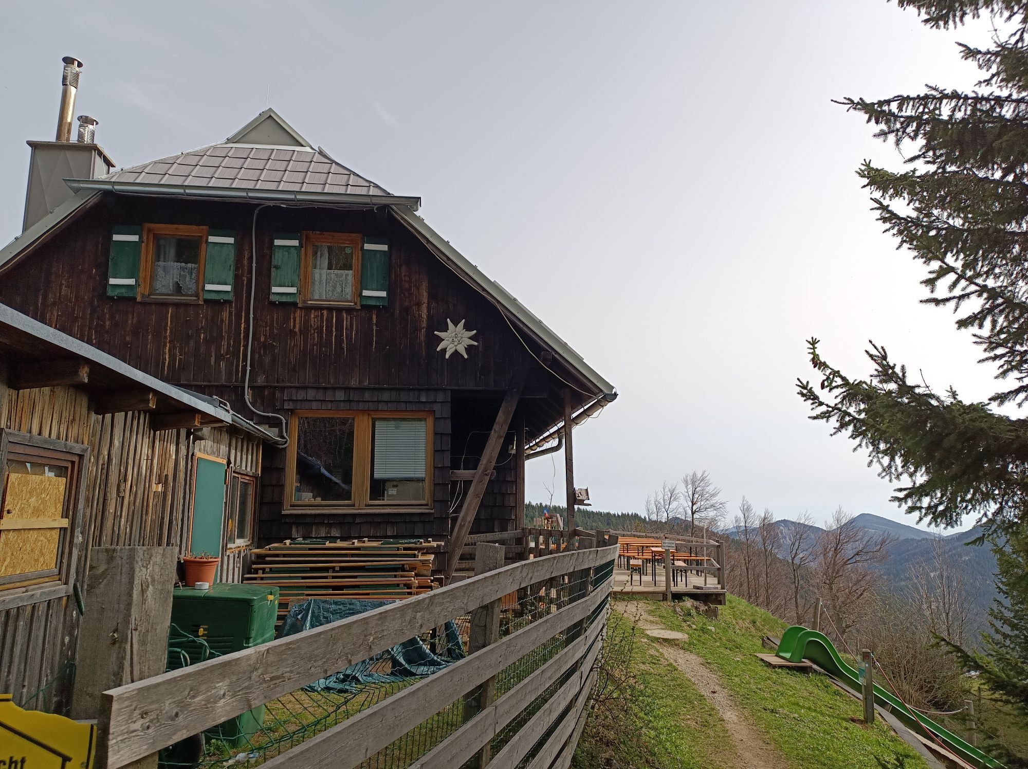

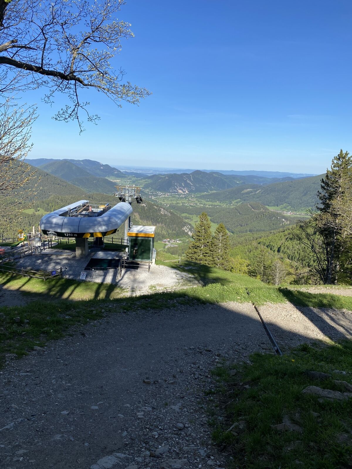
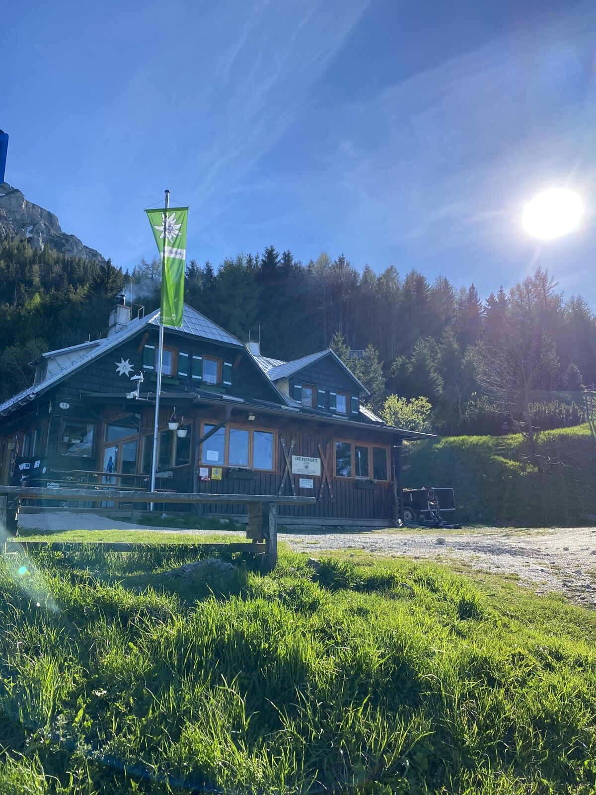
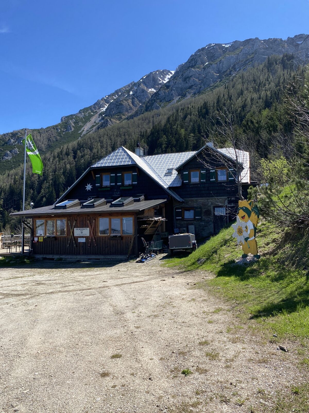
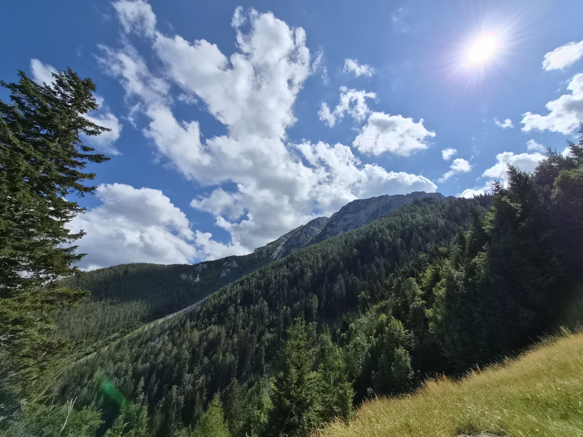
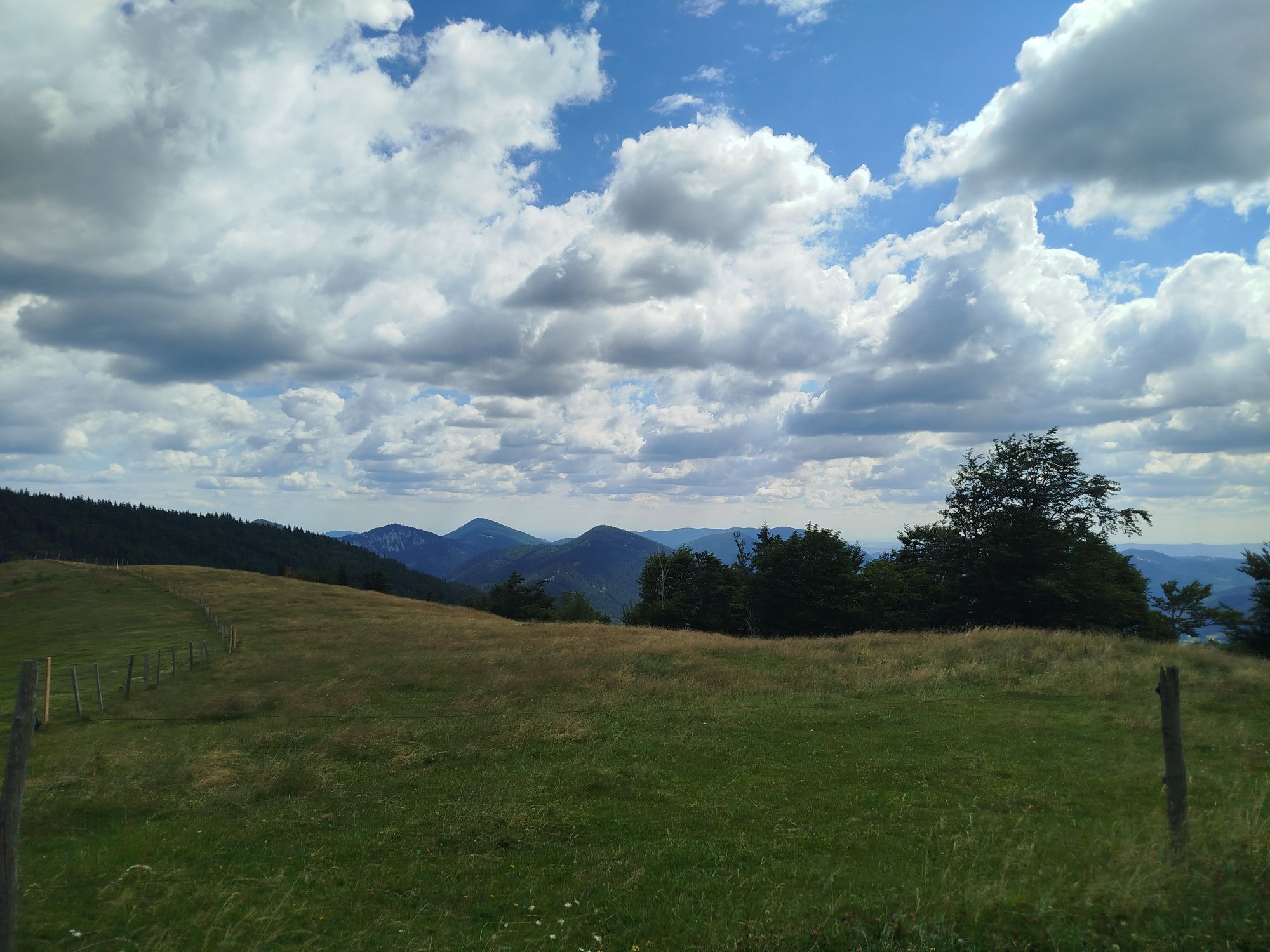
This route is themed "On old paths to gain new insights." From the Edelweißhütte you get the first fantastic view from the foot of the Schneeberg and at the same time the highest point of the path. Immediately...
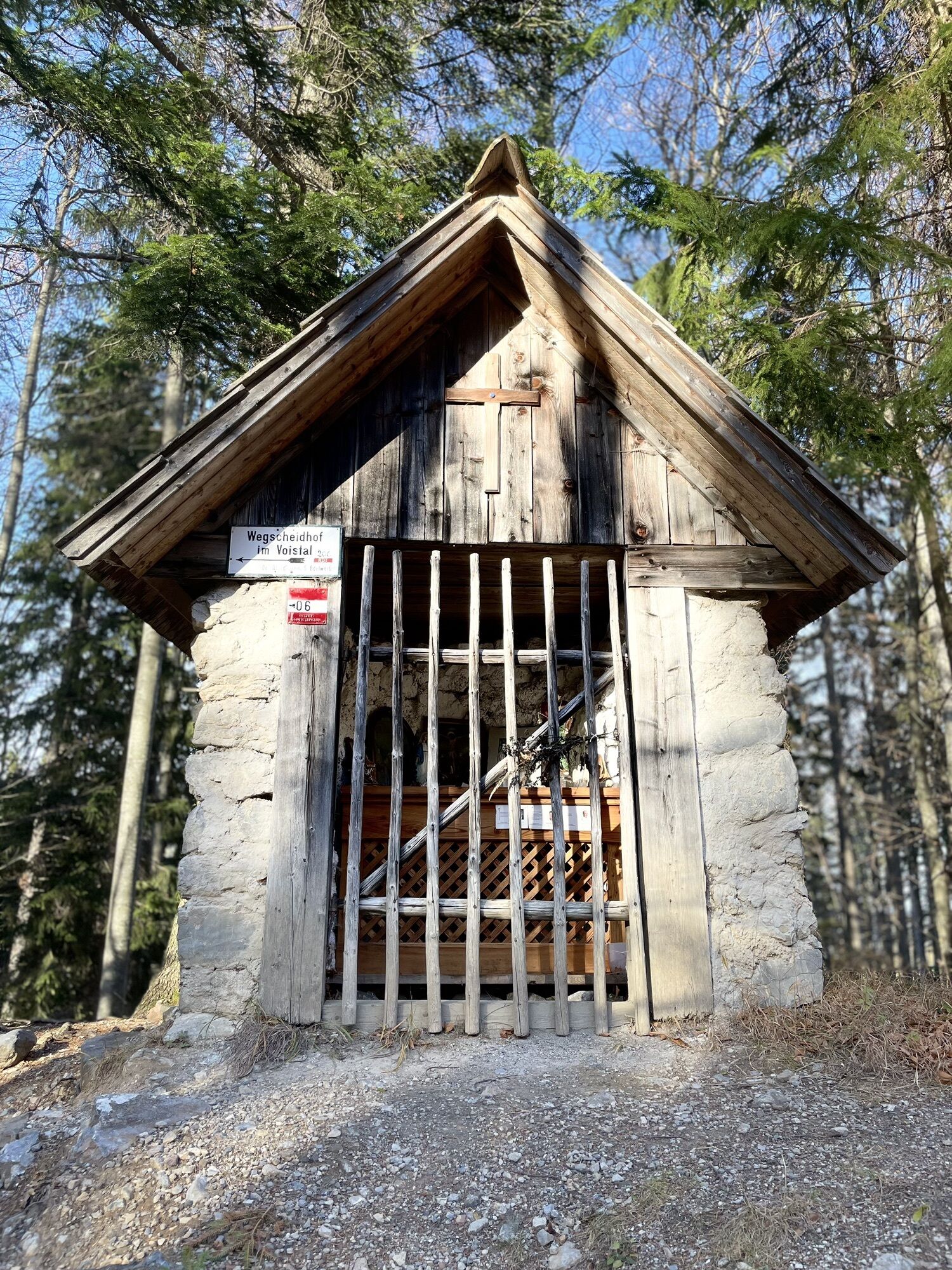
This route is themed "On old paths to gain new insights." From the Edelweißhütte you get the first fantastic view from the foot of the Schneeberg and at the same time the highest point of the path. Immediately after leaving the trail towards the north, we meet the Mariazell trail. This path has always been a pilgrimage route for believers on their way to Mariazell, evidenced by numerous wayside shrines, chapels, and crosses along the way. Here, the view turns inward and invites reflection. The old school path from Vois to Schwarzau invites a mental look back to a time when education had to be literally earned.
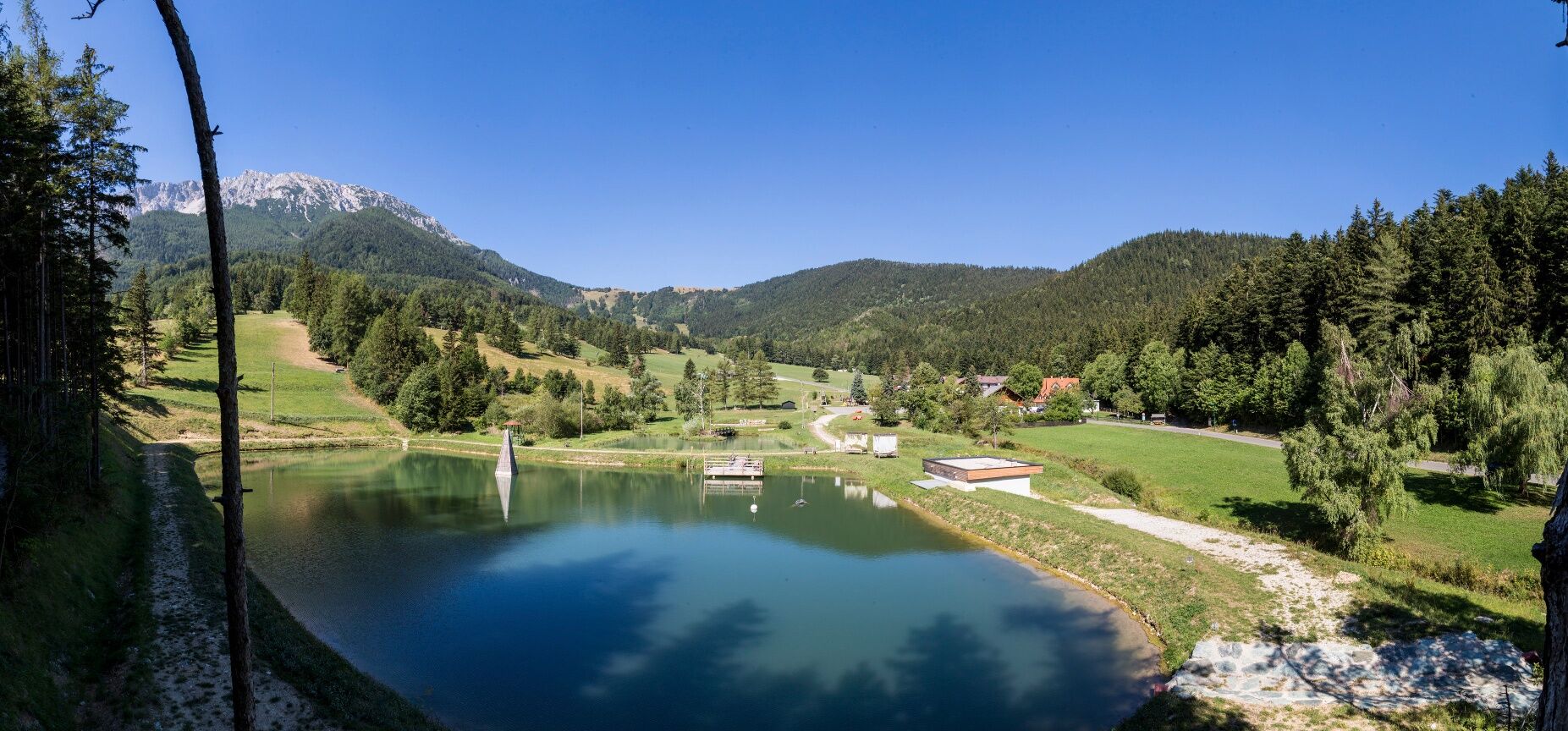
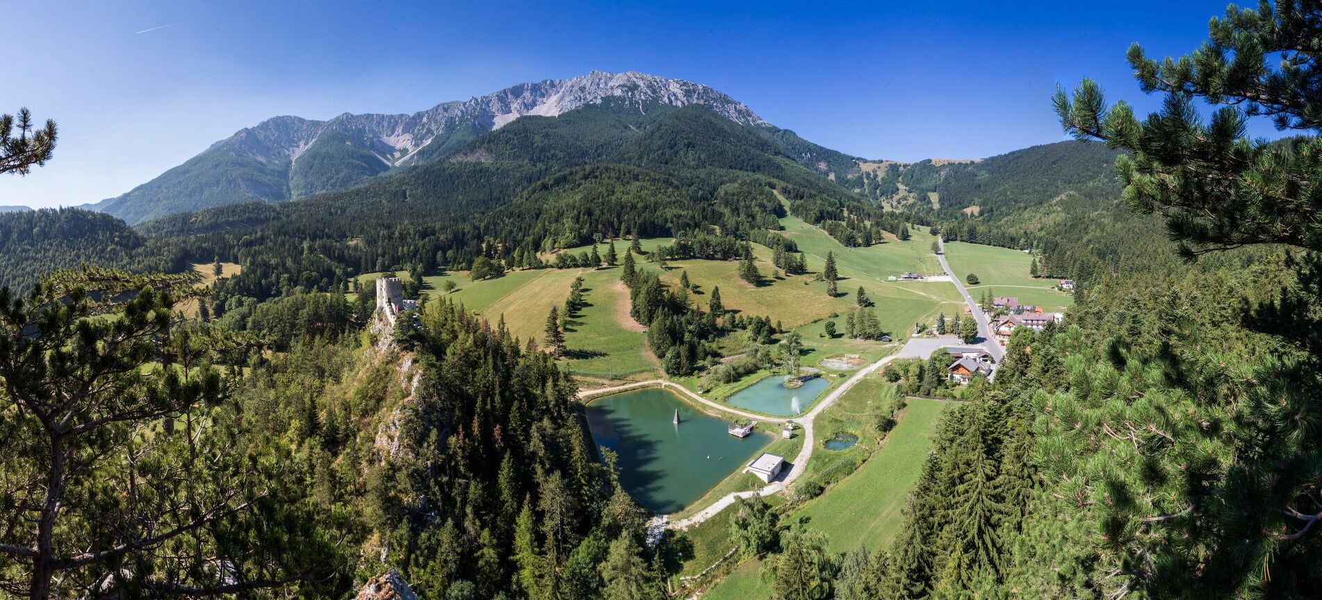
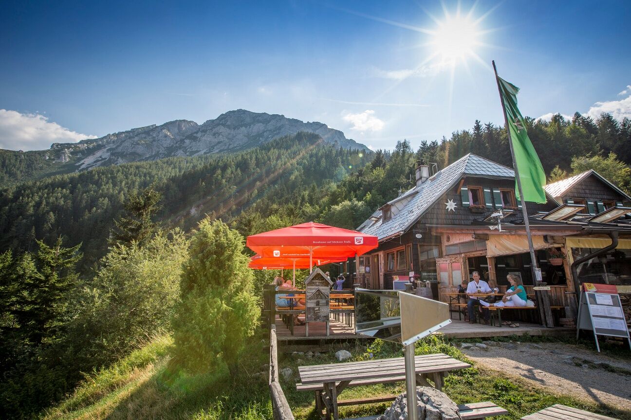
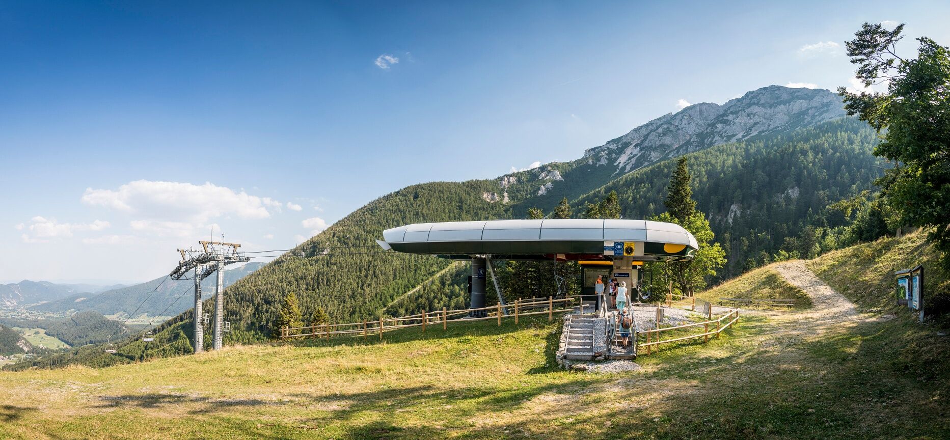
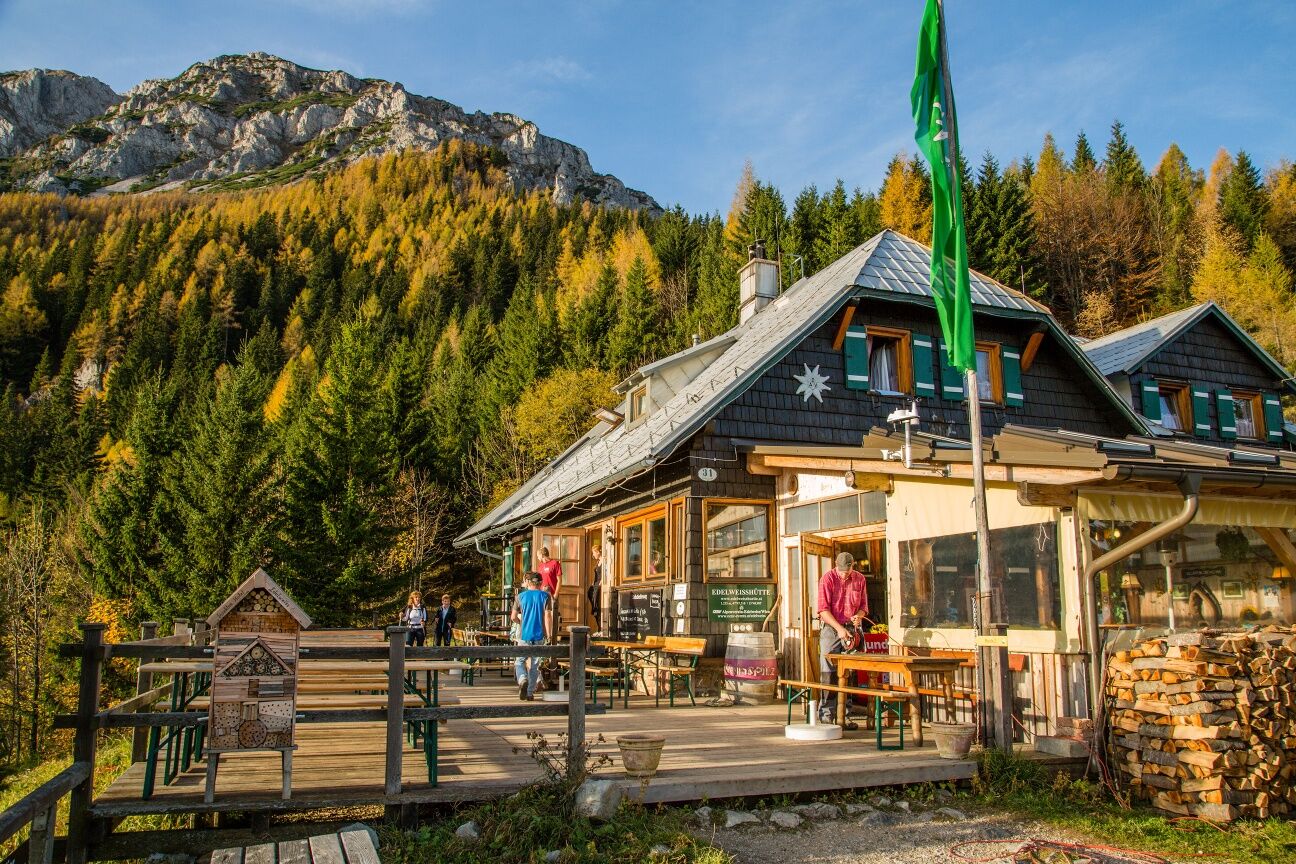
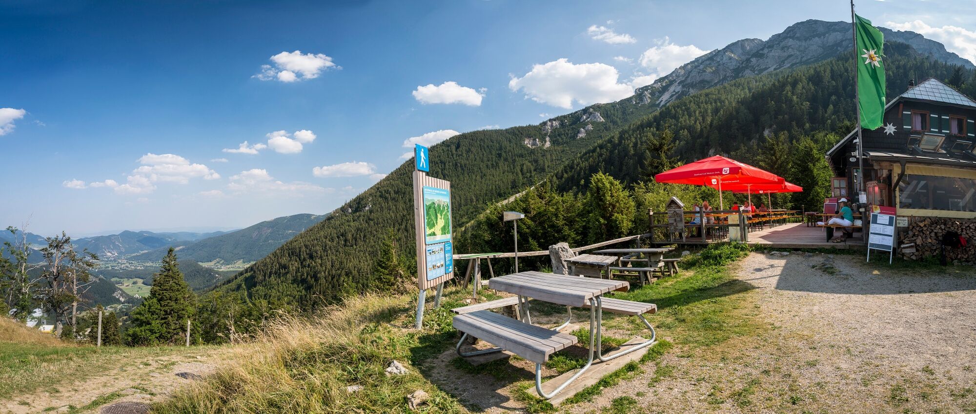
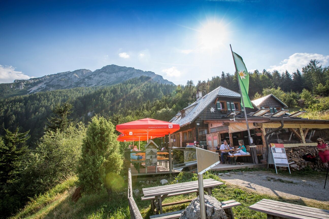
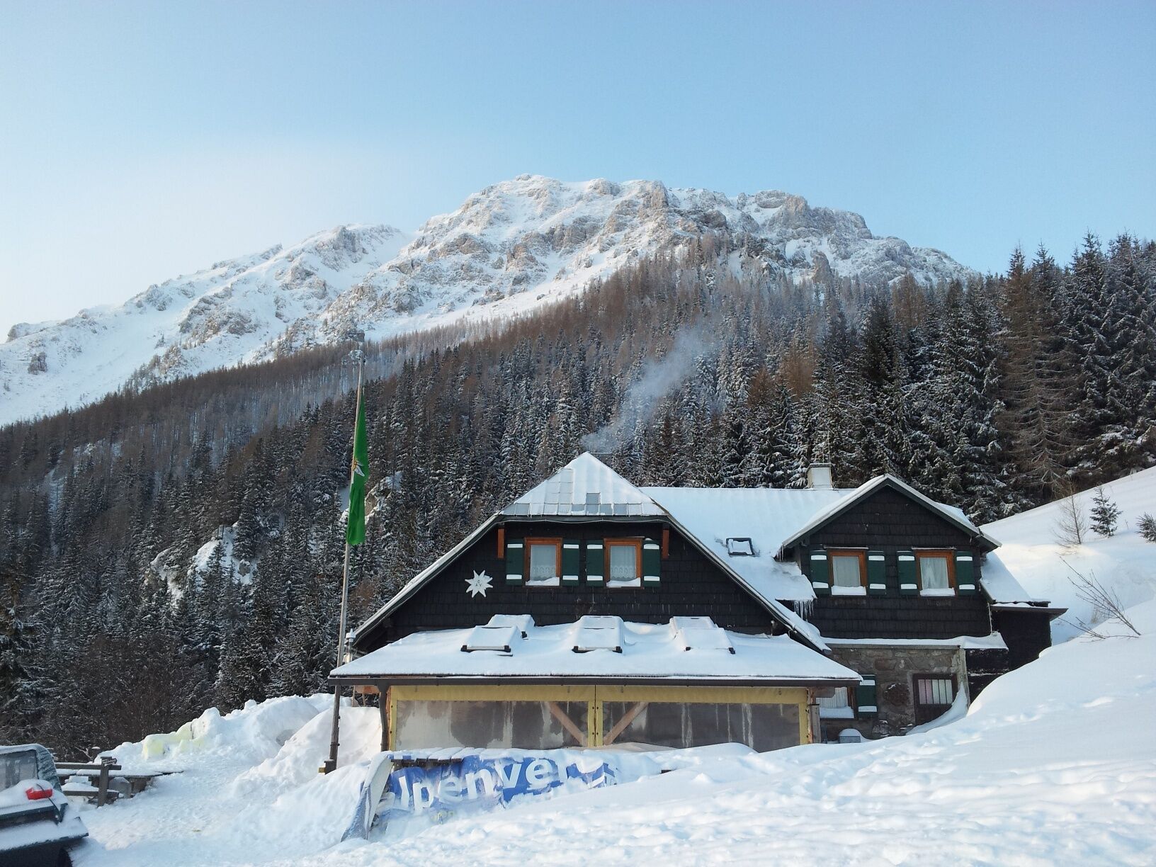
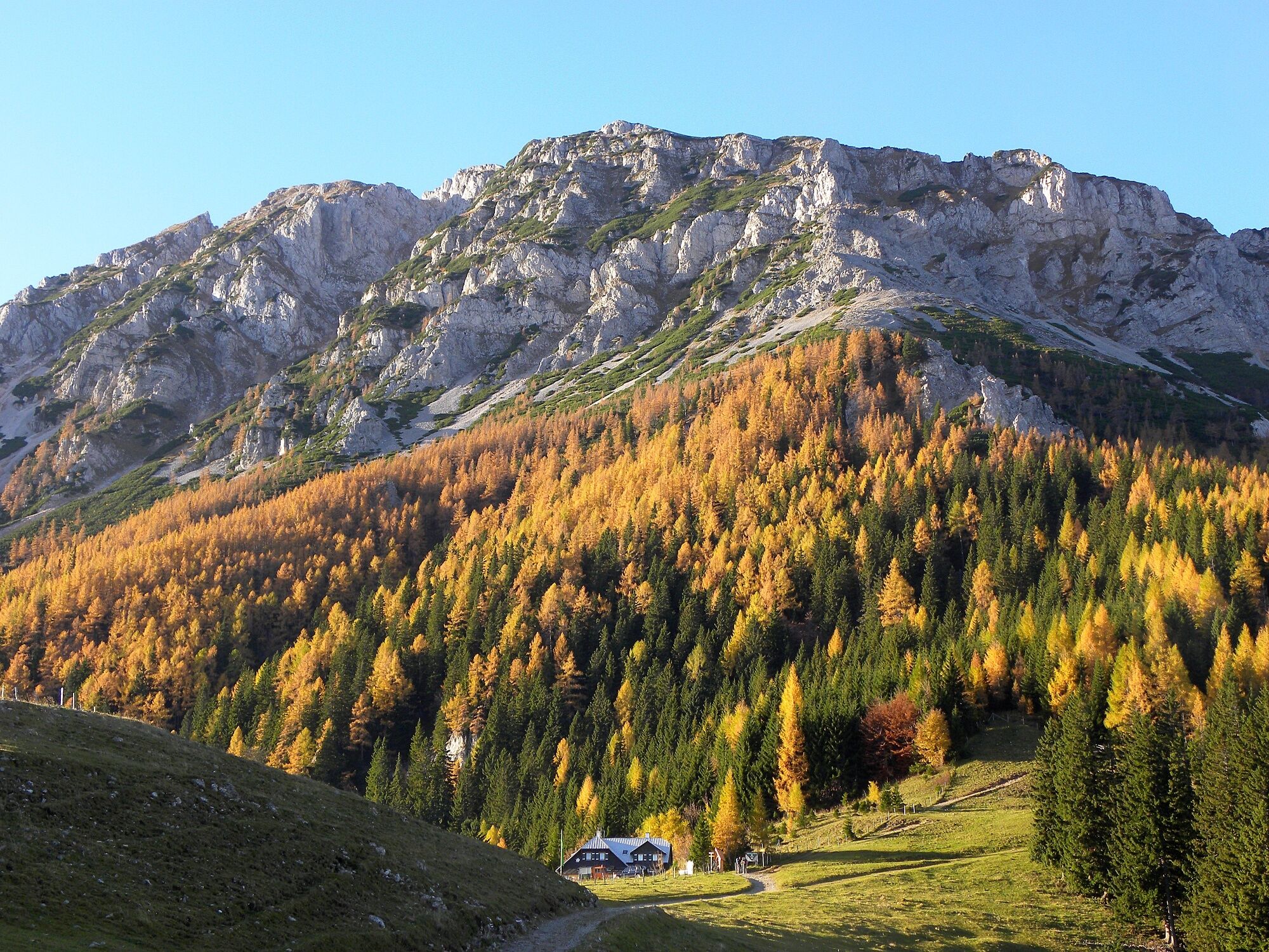

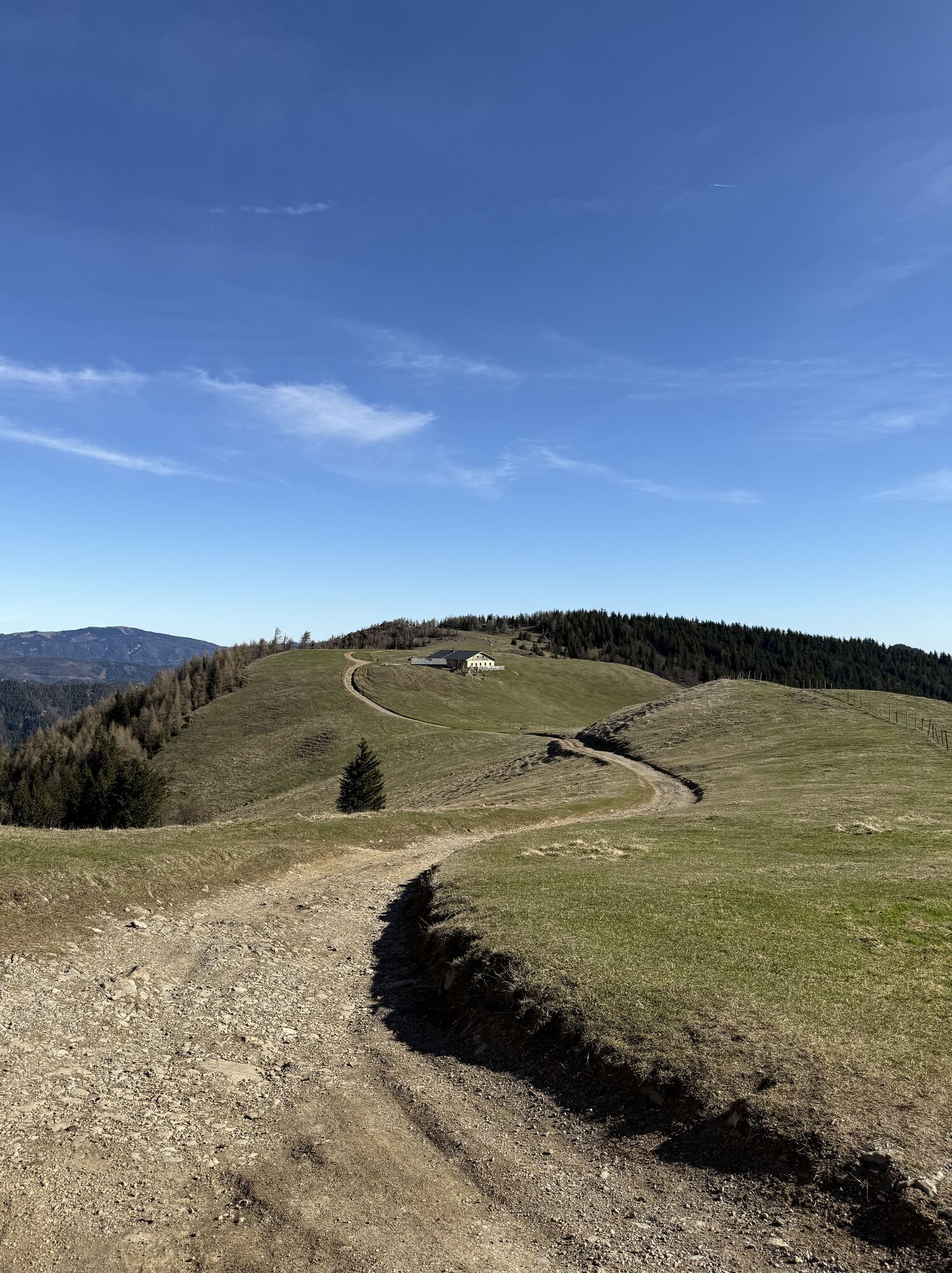
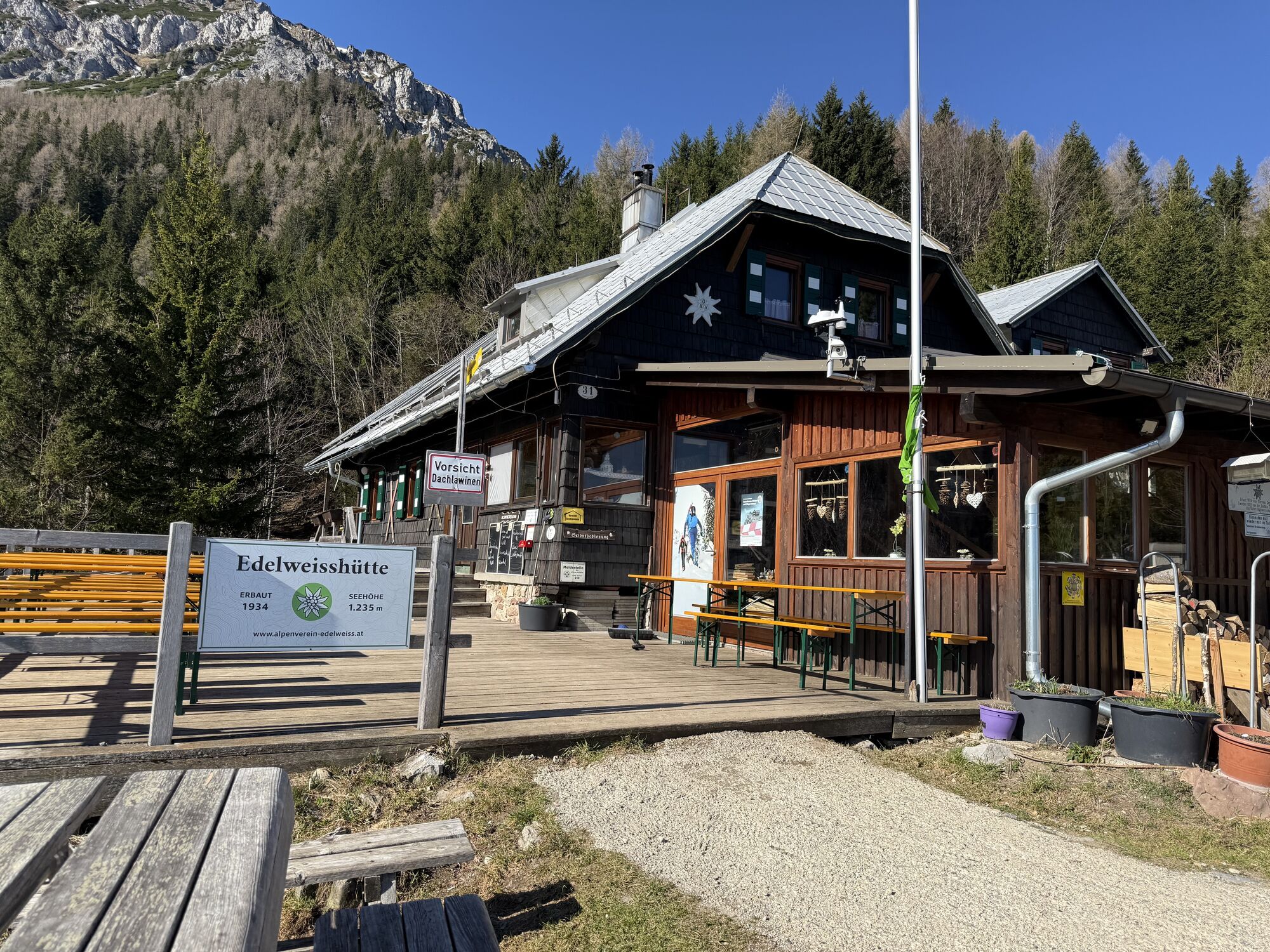
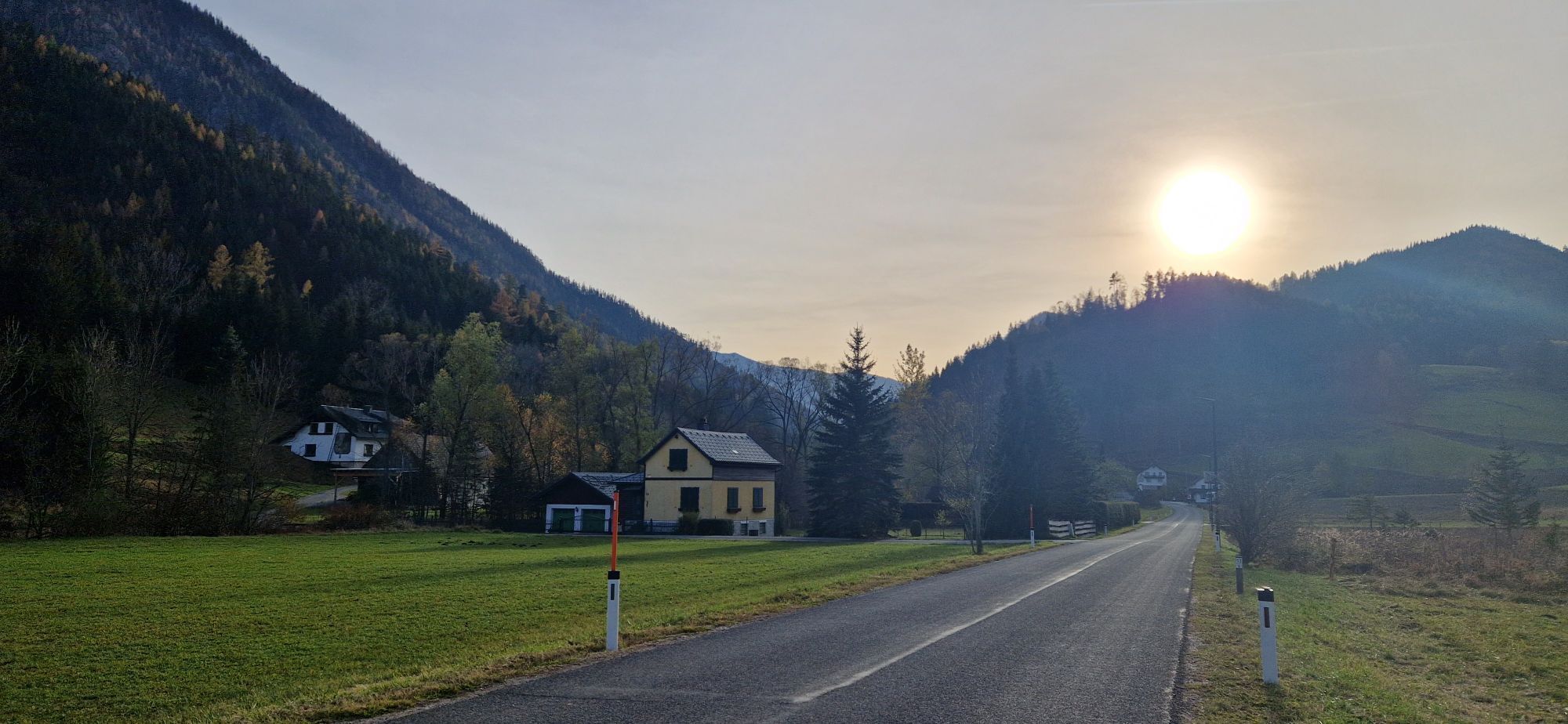
Either we have had a relaxing night at the Edelweißhütte or already have the ascent from Losenheim or Puchberg on the Regional Route N in our legs. From the Edelweißhütte we look towards the Almröserlhaus and turn left off the gravel road onto the steep meadow slope. Red markings (trail no. 231) on the trees guide us down the slope to a wet ditch, which we steadily descend towards Putzenhof. After about 20 minutes of descending through a water ditch and crossing two forest roads, we encounter another forest road. Here the red-marked trail no. 231 continues straight on a forest path towards Putzenhof (50 min) – well marked by a sign and markings on a tree stump. At this junction, however, we turn left slightly downhill onto the forest road, an old Roman road. The markings and designations of the Burgenland Mariazell trail 06 will now first lead us into the Vois valley and later into the Preintal. After a hairpin and a short ascent, we turn left at the Putz chapel onto the marked path down into the Vois valley. We now descend about 200 meters in altitude via hiking trails and forest roads to the Vois valley to the Wegscheidhof and a rest area. The following kilometers are characterized by the asphalt in the Vois valley, along which we follow for the next 45 minutes towards Vois. After the former Nothnagel inn and a bus stop at a bridge, we turn off the road and ascend half-right on a meadow path beside a house towards Schwarzau/Gebirge. We follow the well-trodden path uphill and turn left at the upcoming forest road. The further path leads along the right curve, slightly uphill to an extensive meadow, at the end of which we turn half-right again onto a forest path. The trail leads us uphill to the Heidelbeerplatz and to what seems to be the highest point on the edge of an alpine pasture. From now on, we walk steadily downhill on a forest road into the Schwarzatal to the federal road. On the right, we walk along the road for about three minutes before we can cross the Schwarza river over a wooden bridge on the left. We follow the cart path northwards towards Schwarzau on the other side of the river. At the road bridge over the Schwarza, we turn left onto the road and follow it left past the Bacherlwirt into the Preintal. The road steadily ascends to the Eckbauer height before we pass the Mitterhofer farm (private rooms) downhill and shortly before the Preinmühle come to the junction to Nasswald. Here the Regional Route O ends. Either you enjoy a night at the Mitterhof or continue on the Regional Route P through the Preinbachtal to Nasswald. In Nasswald, there is another overnight option at the inn Zum Raxkönig; there is also a bus connection from Nasswald to Schwarzau/Gebirge or to the Payerbach-Reichenau train station.
Mountain-appropriate equipment is absolutely necessary!
Please note that this route leads into high alpine terrain.
Always carry suitable maps. Wear sturdy shoes adapted to the hike, bring sun and rain protection as well as water and a small snack. Take your mobile phone and save the mountain rescue emergency number: 140
Safe while hiking in the mountains
Your hikes in the Wiener Alpen should be a thoroughly enjoyable and safe experience. Please take note of the following:
Preparation
Make sure, when choosing the route, that it matches your mountain experience and your fitness. Check the weather forecast beforehand. The weather in the mountains can change rapidly and unexpectedly. Always start suitably equipped (e.g. rain protection).
Check if the huts and snack stations you want to visit along the way are open. Inform someone about your chosen route and your planned return time before you set off.
The Edelweißhütte is located in alpine terrain and is only reachable on foot directly from Puchberg, Losenheim, or the Klostertal.
If coming from Vienna and Graz, take the A2 to the Wiener Neustadt West exit. Then take the B26 to Puchberg am Schneeberg. From here a road leads to the valley station of the chairlift in Losenheim.
Public transport access is difficult. The nearest bus stop in Schwarzau im Gebirge is an hour's walk away. From Wiener Neustadt station, trains run regularly to Payerbach-Reichenau station. Then continue by bus to Schwarzau im Gebirge. The town of Nasswald, which lies on the route, is publicly accessible via Payerbach-Reichenau station and further by regional bus 1746 (direction Rohr im Gebirge or Schwarzau im Gebirge).
For more information visit www.oebb.at and www.vor.at
There are no official parking spaces in the immediate vicinity of the Preinmühle. The nearest official parking is located in the center of Schwarzau/Gebirge.
Also explore the connecting routes:
WAB - Regional Route N: Preintal - Habsburghaus
WAB - Regional Route P: Puchberg - Edelweißhütte
Wiener Alpen in Lower Austria, www.wieneralpen.at, +43 / 2622 / 78960
Tourism office Puchberg am Schneeberg, www.puchberg.at, +43 / 2636 / 2256
Schneeberg chairlift, www.schneebergsesselbahn.at +43 / 2742 / 36 099 099
Overnight accommodations for this hike are offered by the Edelweißhütte at Schneeberg as well as lodgings in Schwarzau and the Preintal.
Uzyskaj wgląd
Zawsze na żywo z ponad 9 500 kamer internetowych. bergfex Jako użytkownik Pro, możesz teraz zobaczyć odpowiednie kamery internetowe dla wielu wycieczek w aplikacji wycieczki od. Pozwala to na bezpośredni podgląd aktualnych warunków.
Popularne wycieczki w okolicy
-
4,6
Losenheim: Edelweißhütte - Fadensteig - Fischerhütte
średniWędrówka 11,5 km -
4,7
Zahnradbahn und Wandern am Schneeberg - Plateauwanderung
średniWędrówka 6,90 km -
4,8
Cultural walk Payerbach-Reichenau
światłoWędrówka 7,43 km -
4,8
Rax - Heukuppe
Wędrówka 15,6 km -
5,0
"Weichtalklamm" über Stock und Stein durch das Höllental - Weichtalhaus - Kientallerhütte 1340m
średniWędrówka 14,0 km -
5,0
Insider tip: Schneeberg via the Novembergrat
ciężkiWędrówka 13,5 km -
4,9
"Über den höchsten Nieder-Ösi" - Schneeberg - Weichtalklamm - Klosterwappen - Stadlwandleiten
średniWędrówka 17,7 km -
4,9
Reißtalersteig und Gretchensteig
ciężkiWędrówka 8,10 km -
4,9
SCHNEEBERG Losenheim Nandlgrat Klosterwappen Fadenweg 28.09.2017
ciężkiWędrówka 15 km -
4,8
RAX Preiner Gscheid Waxriegel Predigtstuhl Heukuppe Karl L.Haus ret. 20210908
średniWędrówka 12 km
Wędrówki i tropienie


Nie przegap ofert i inspiracji na następne wakacje
Twój adres e-mail została dodana do listy mailingowej.





