







Niederwechsel route
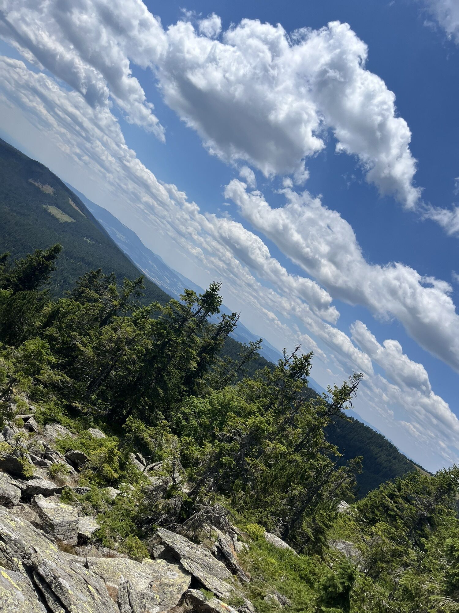
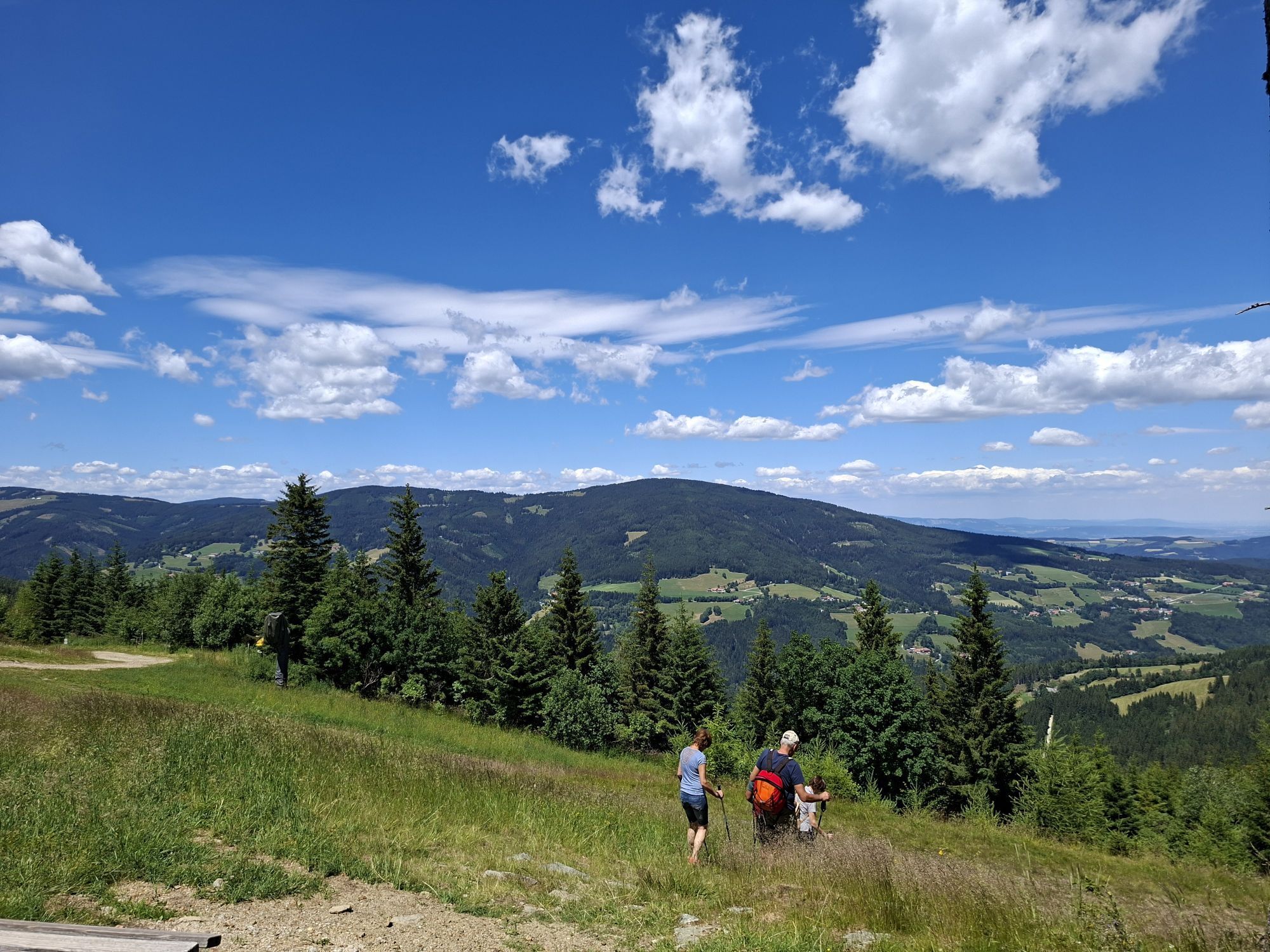
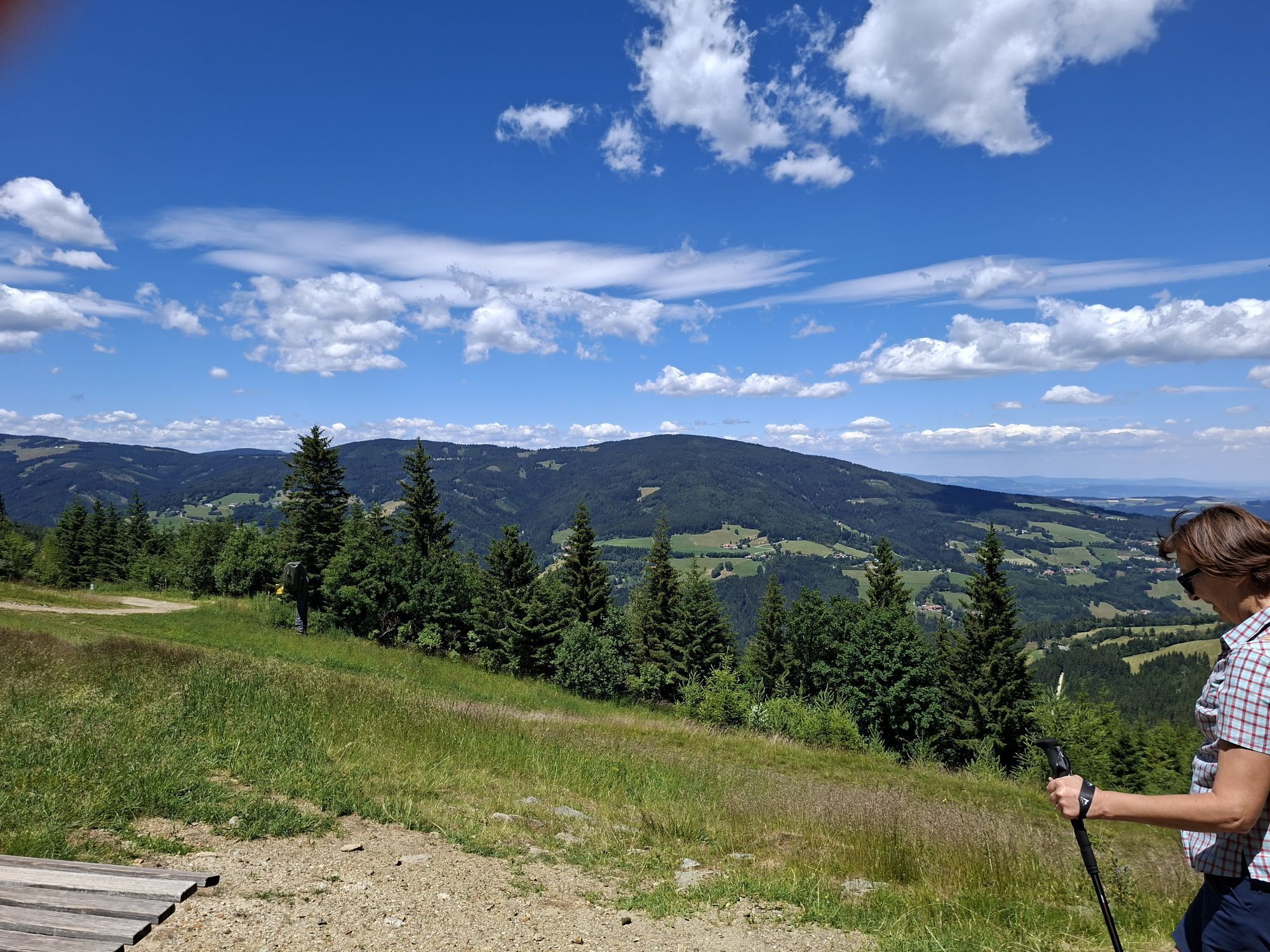
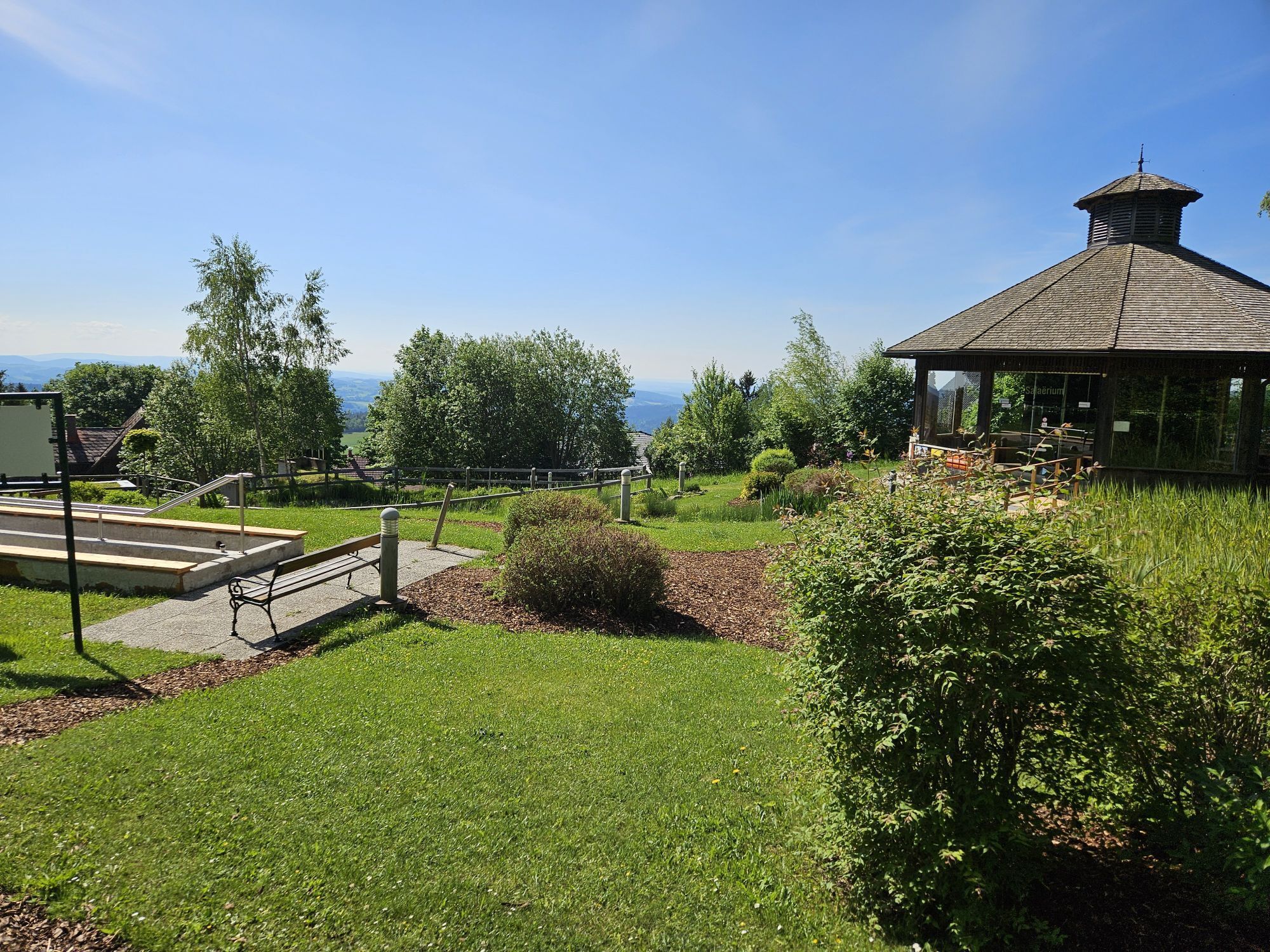

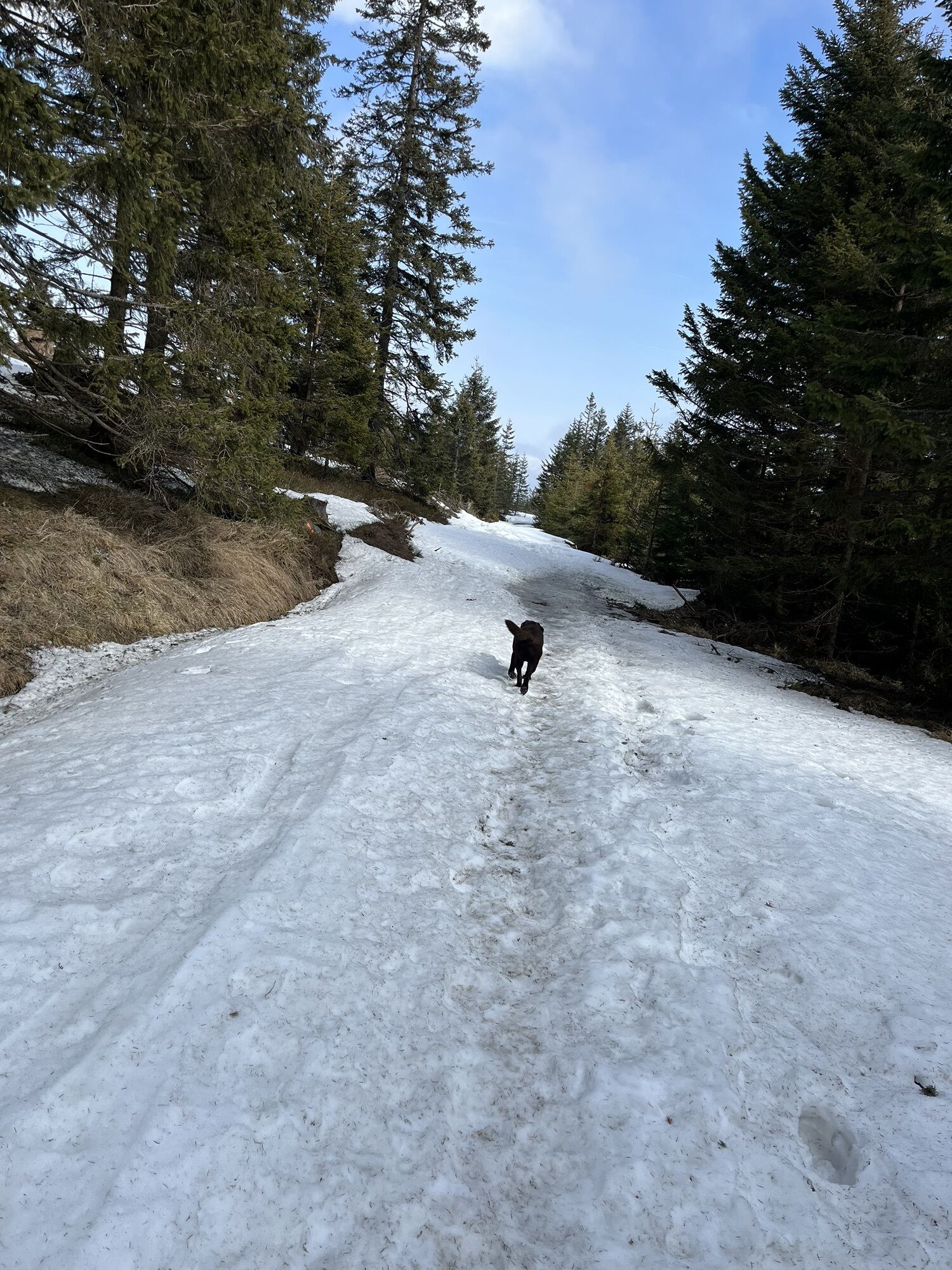
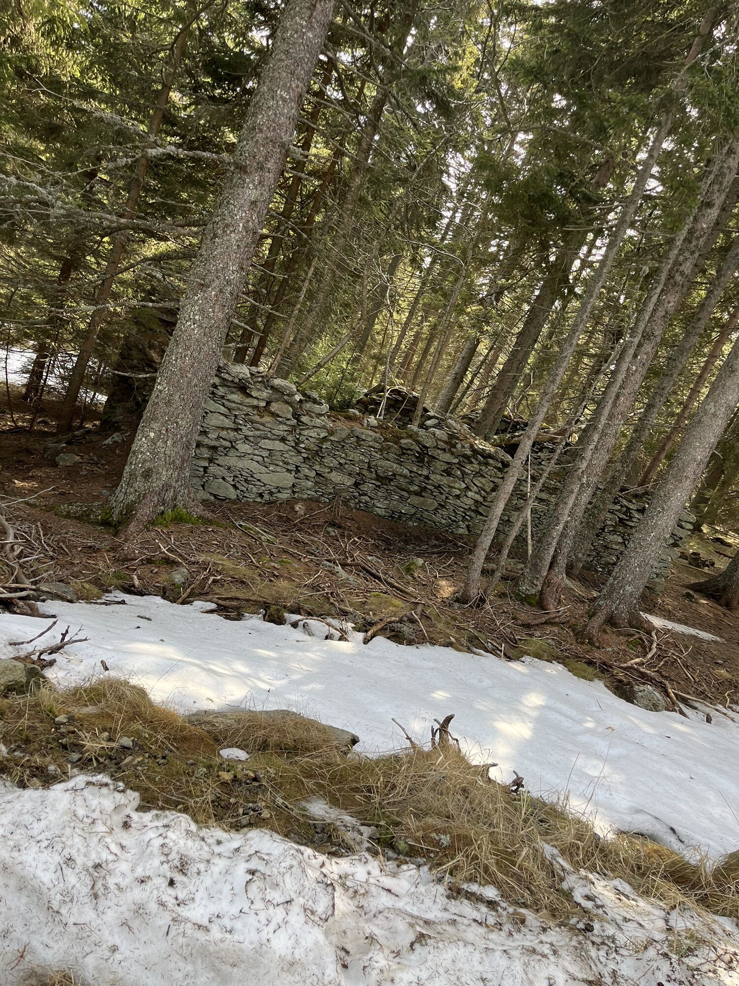
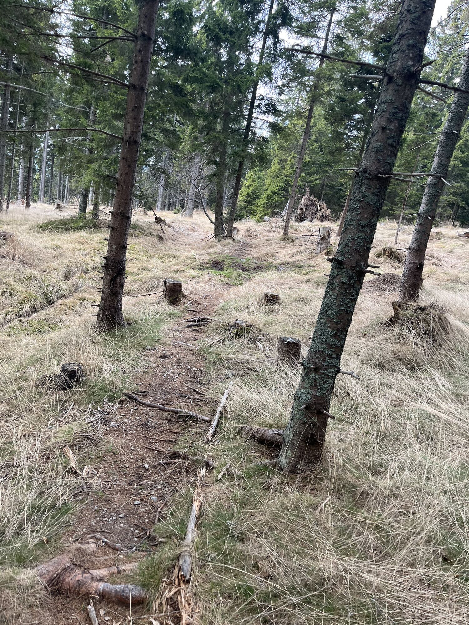
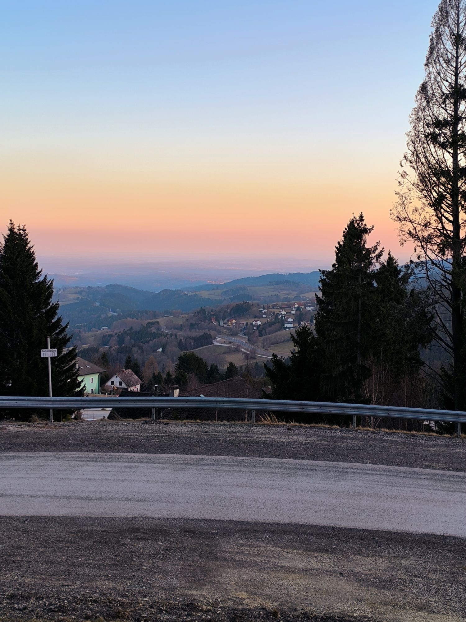
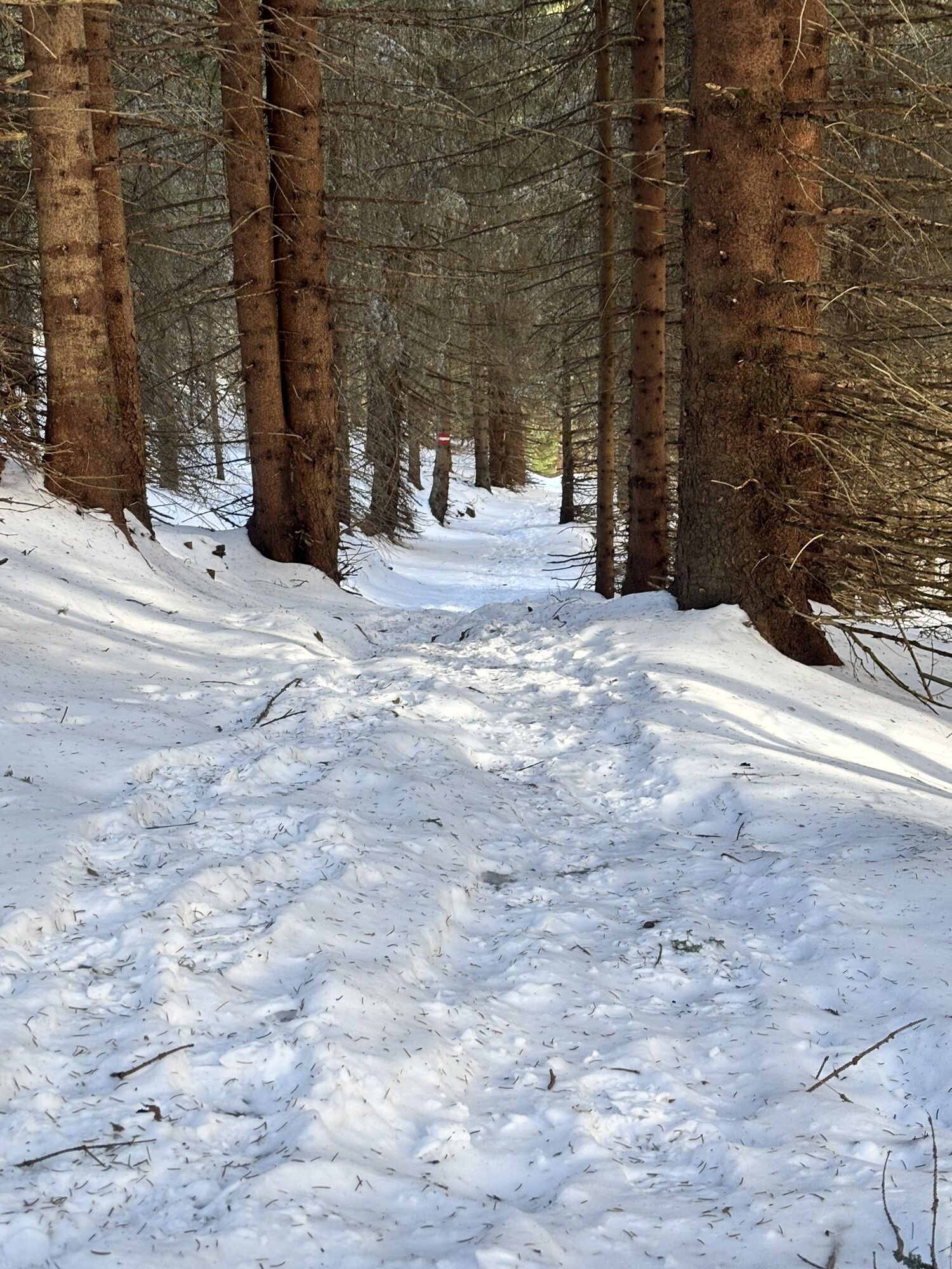

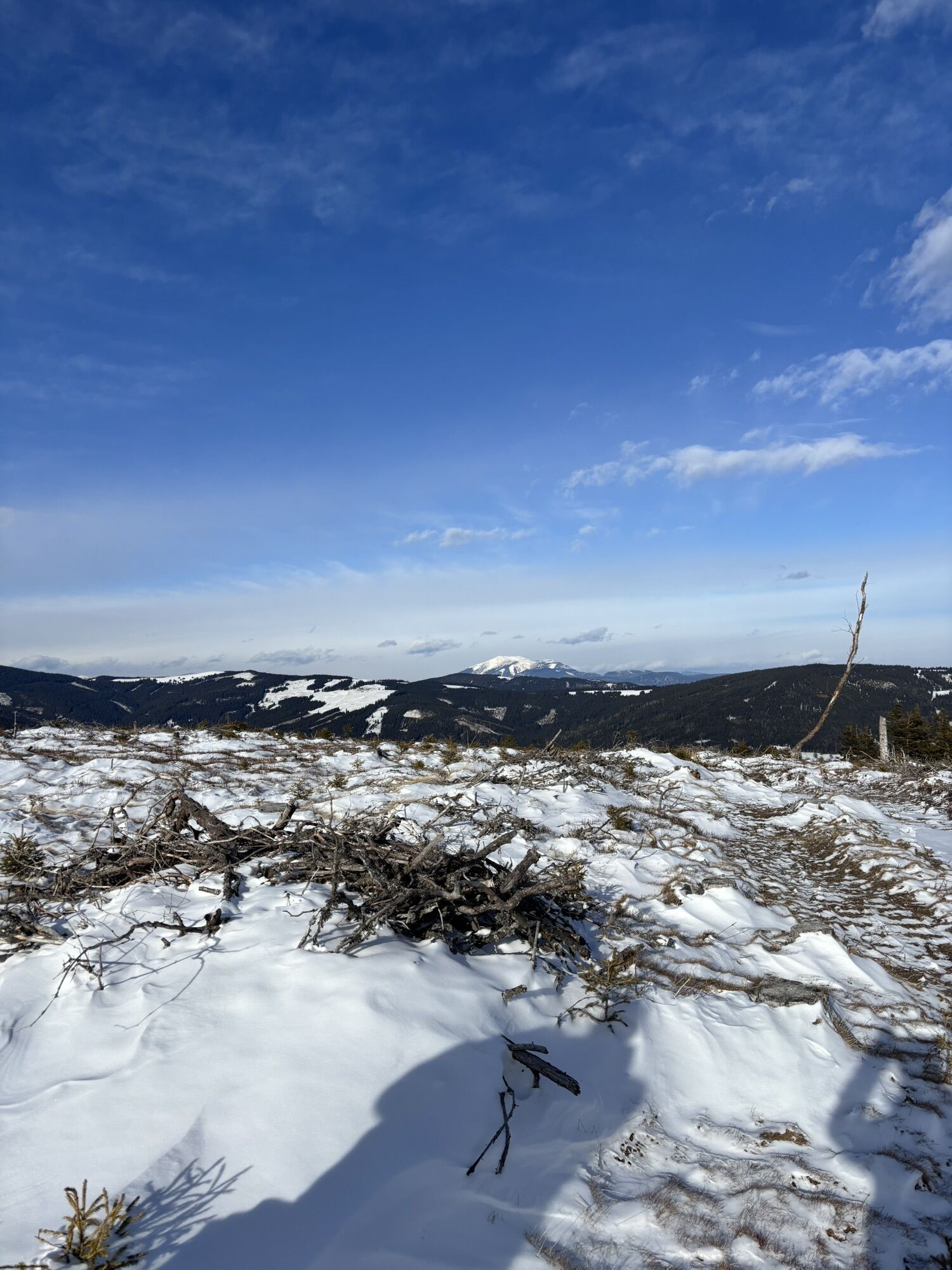
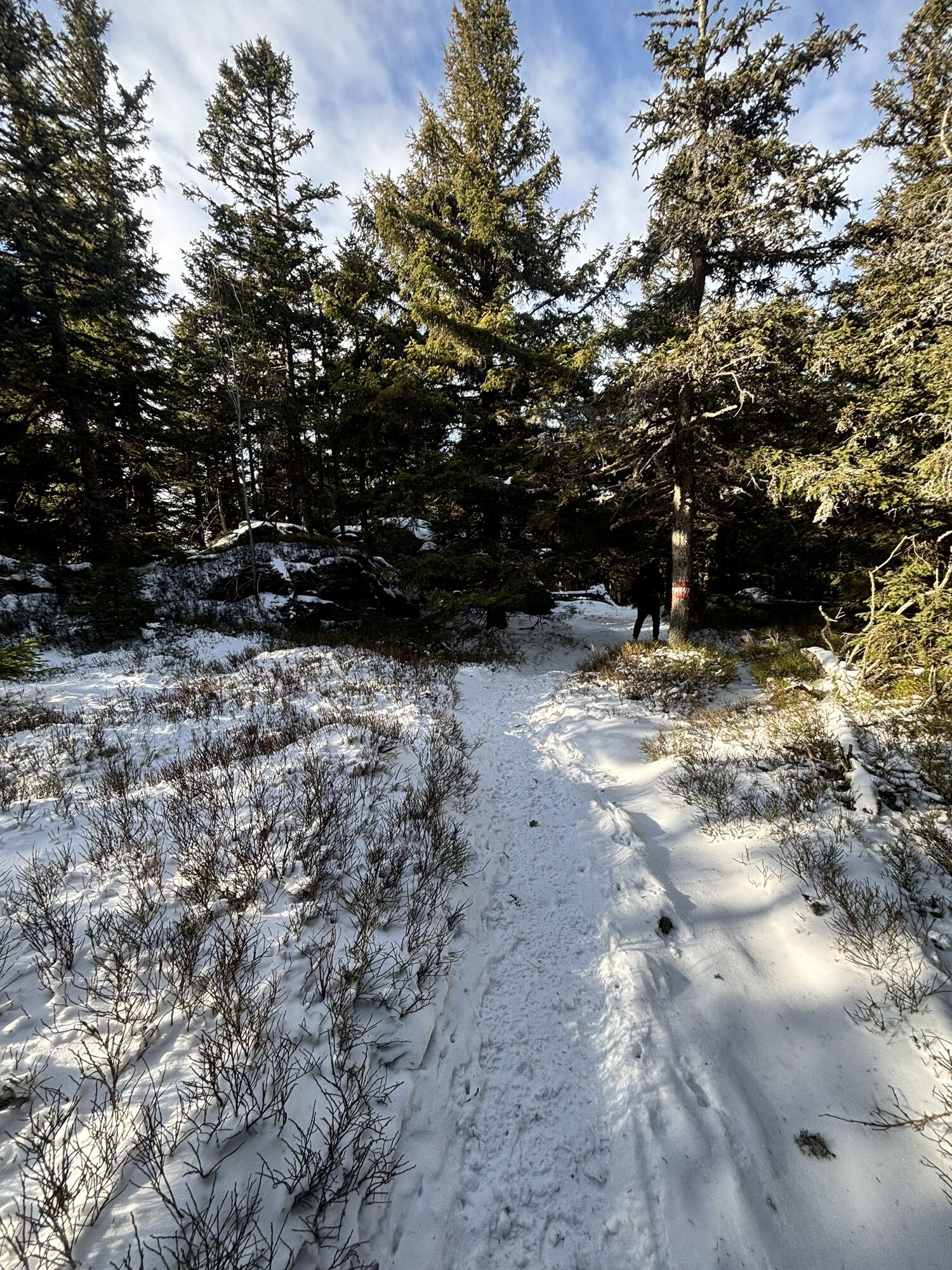
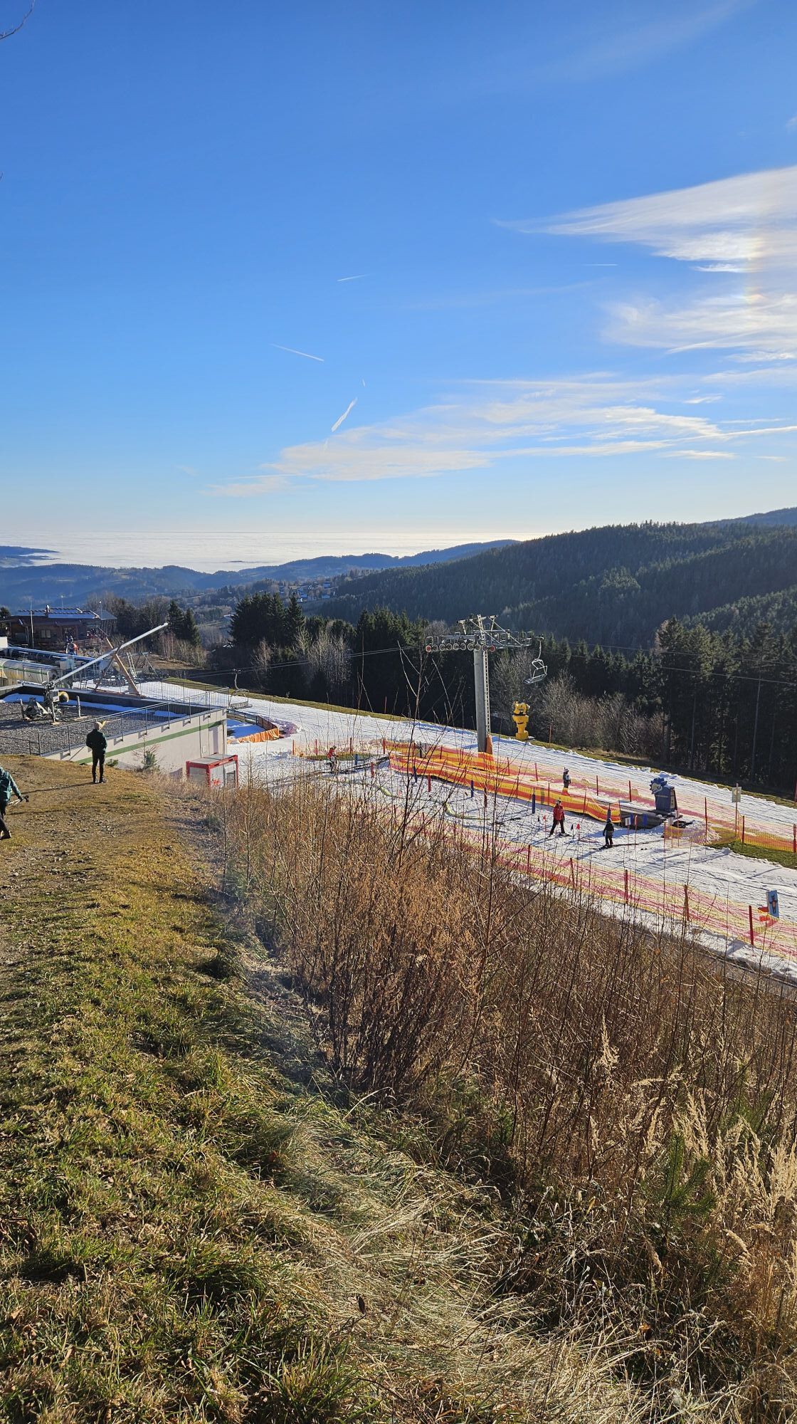

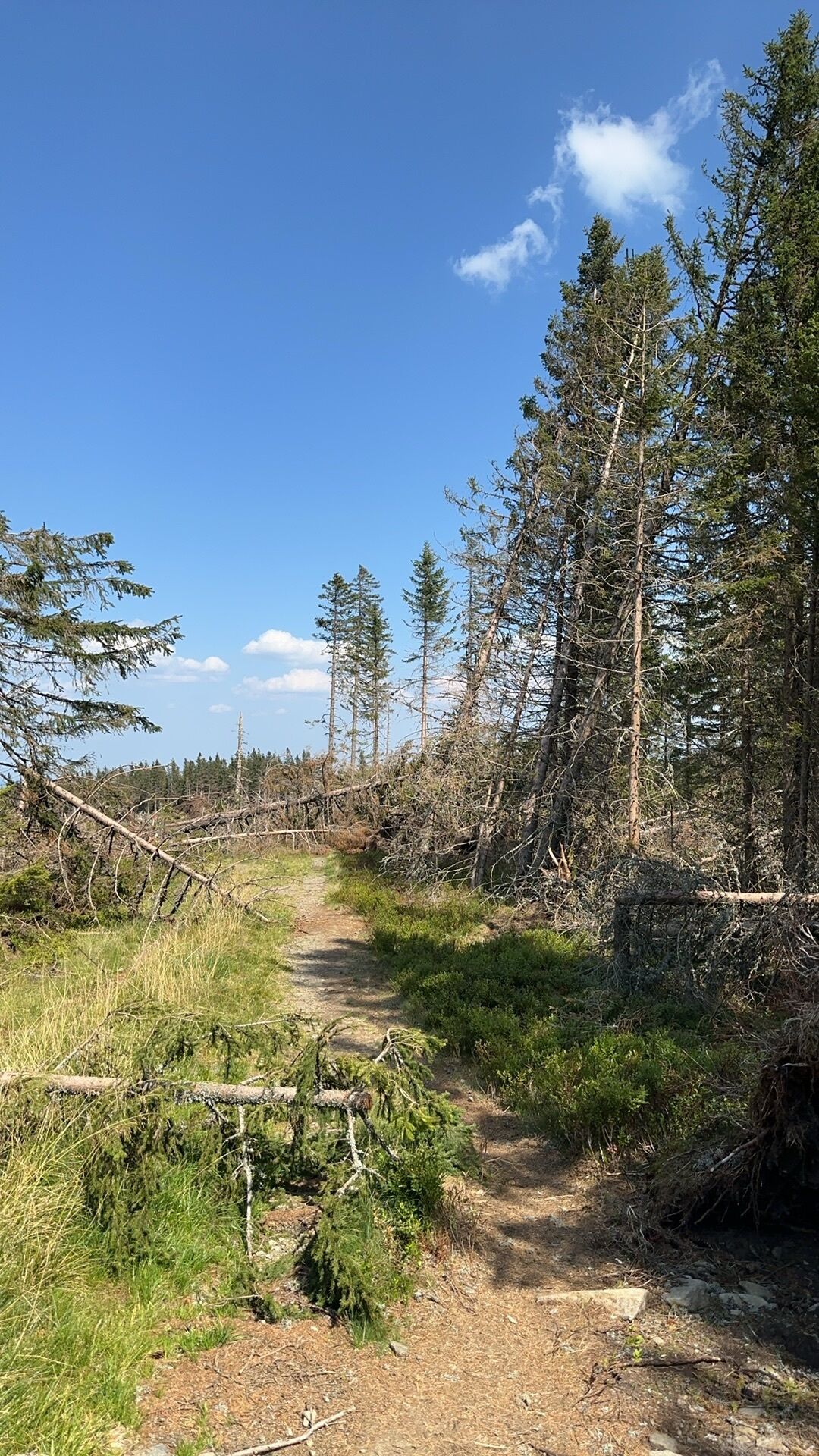
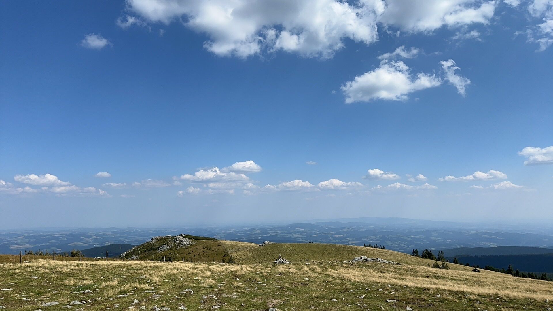
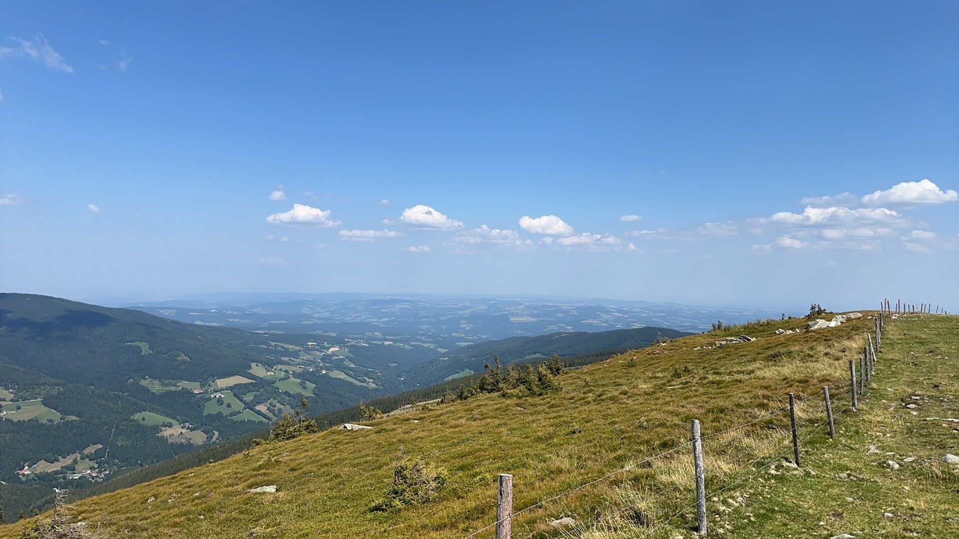
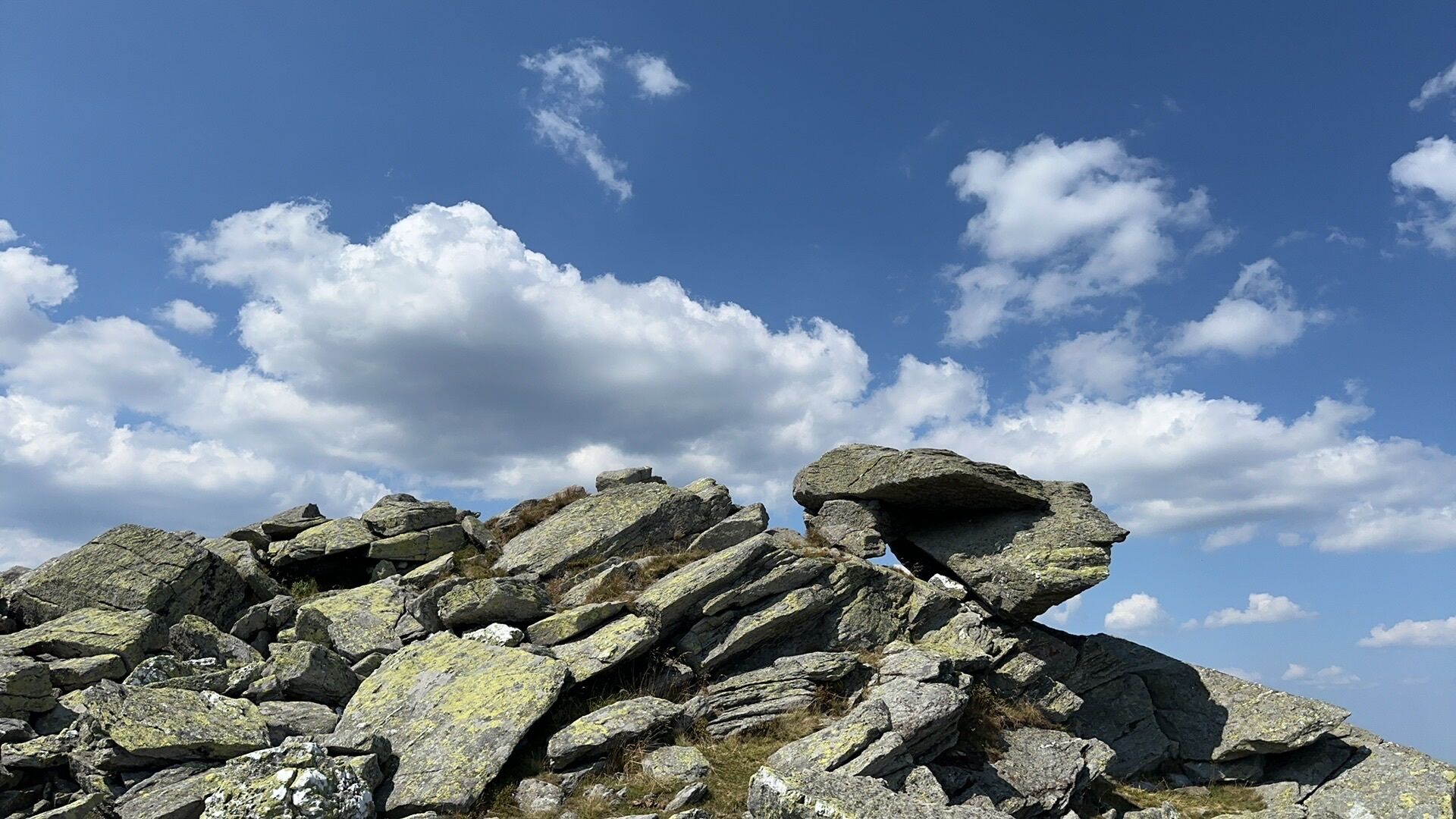
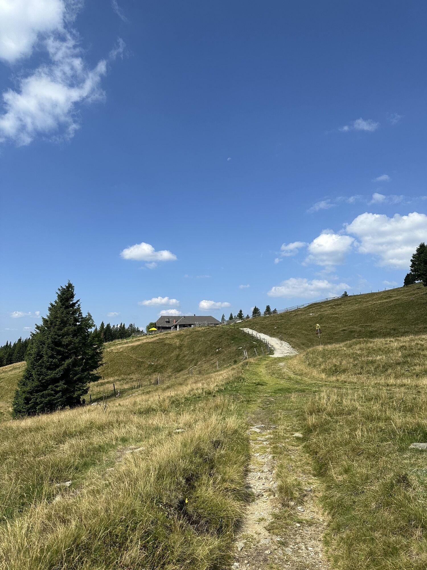
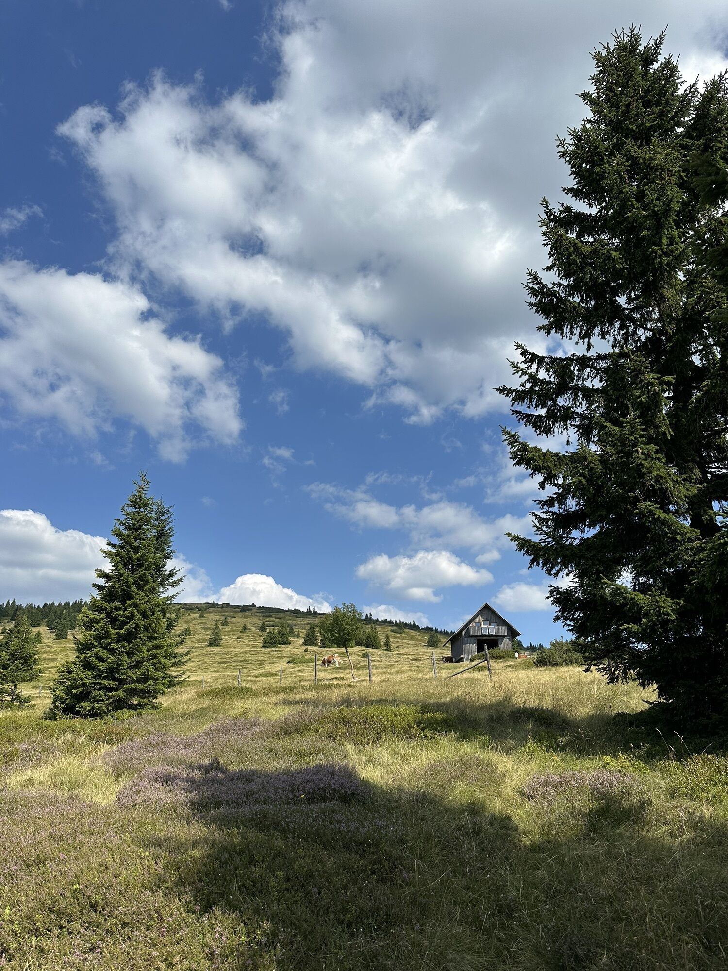
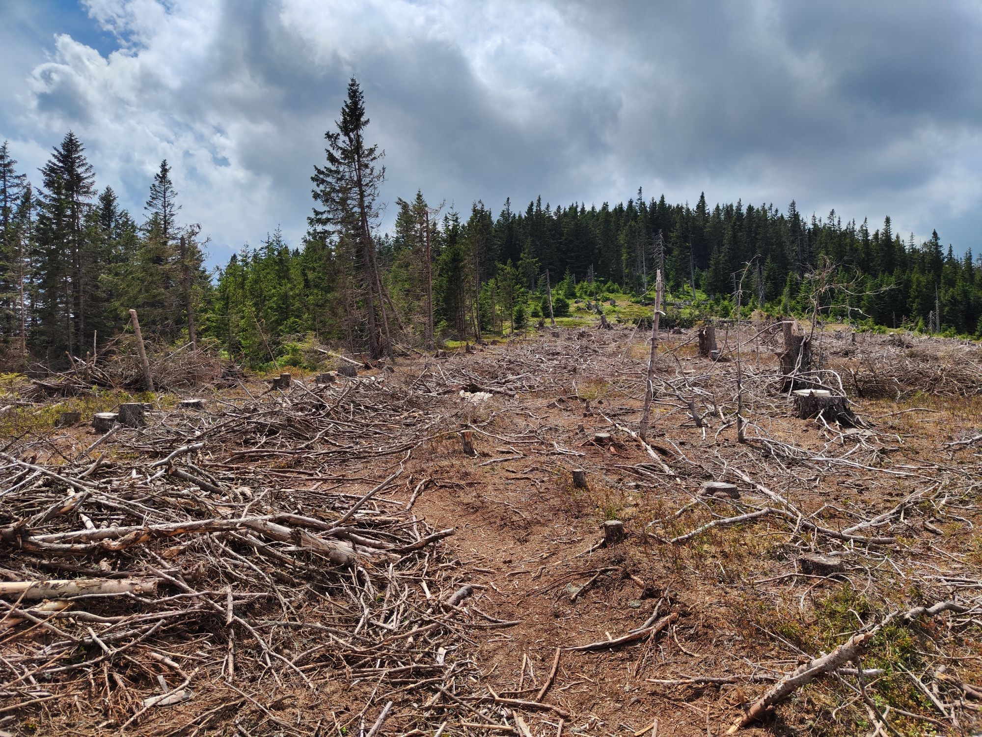
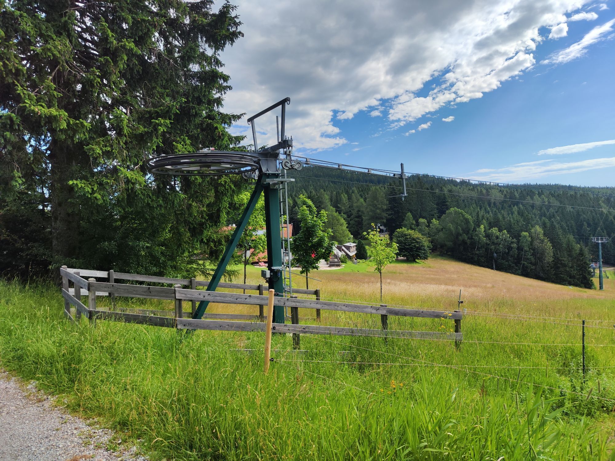
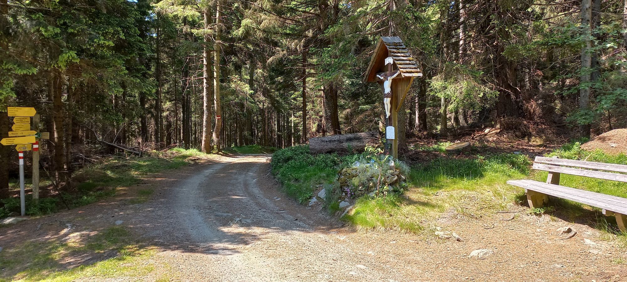

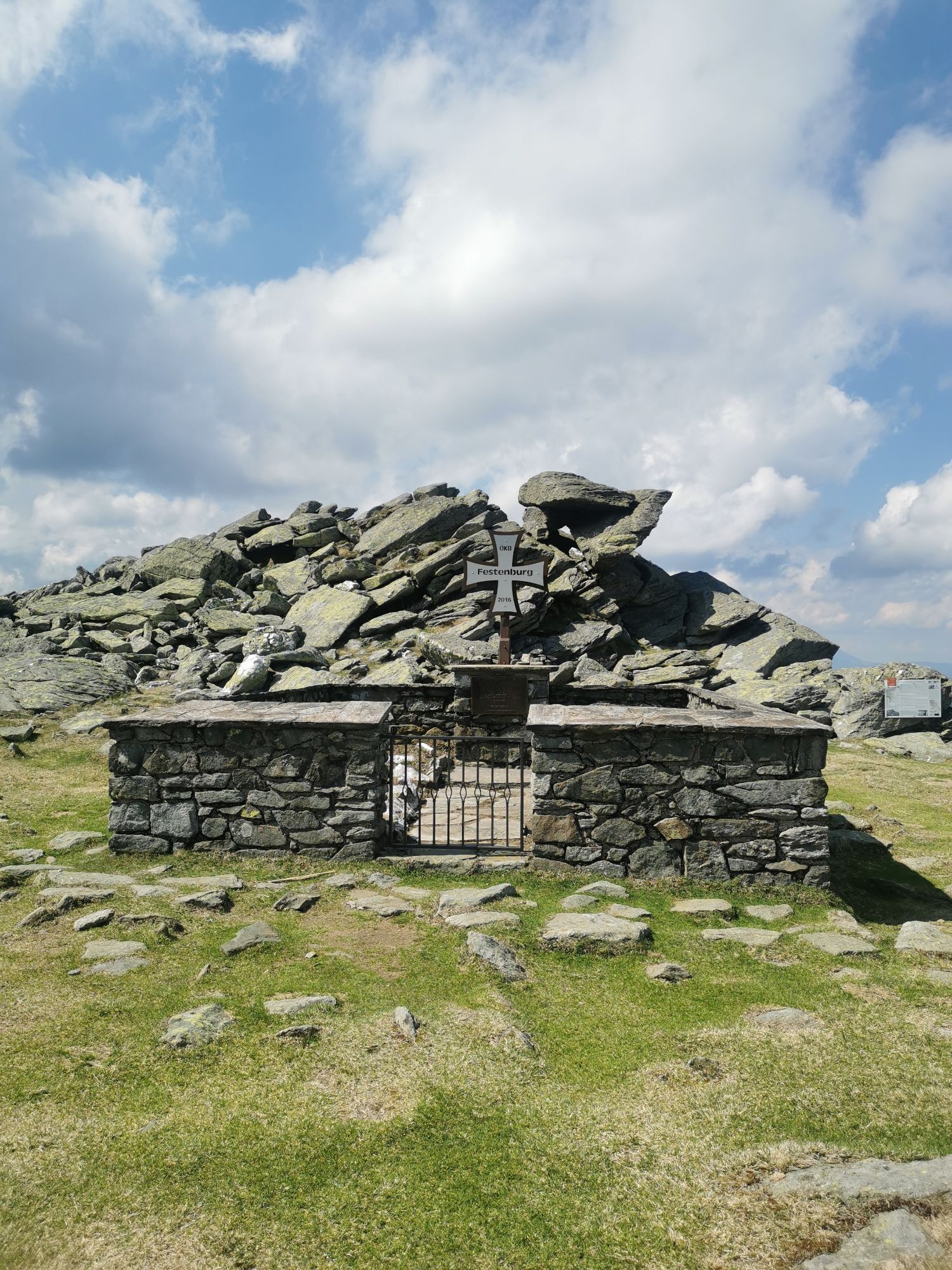


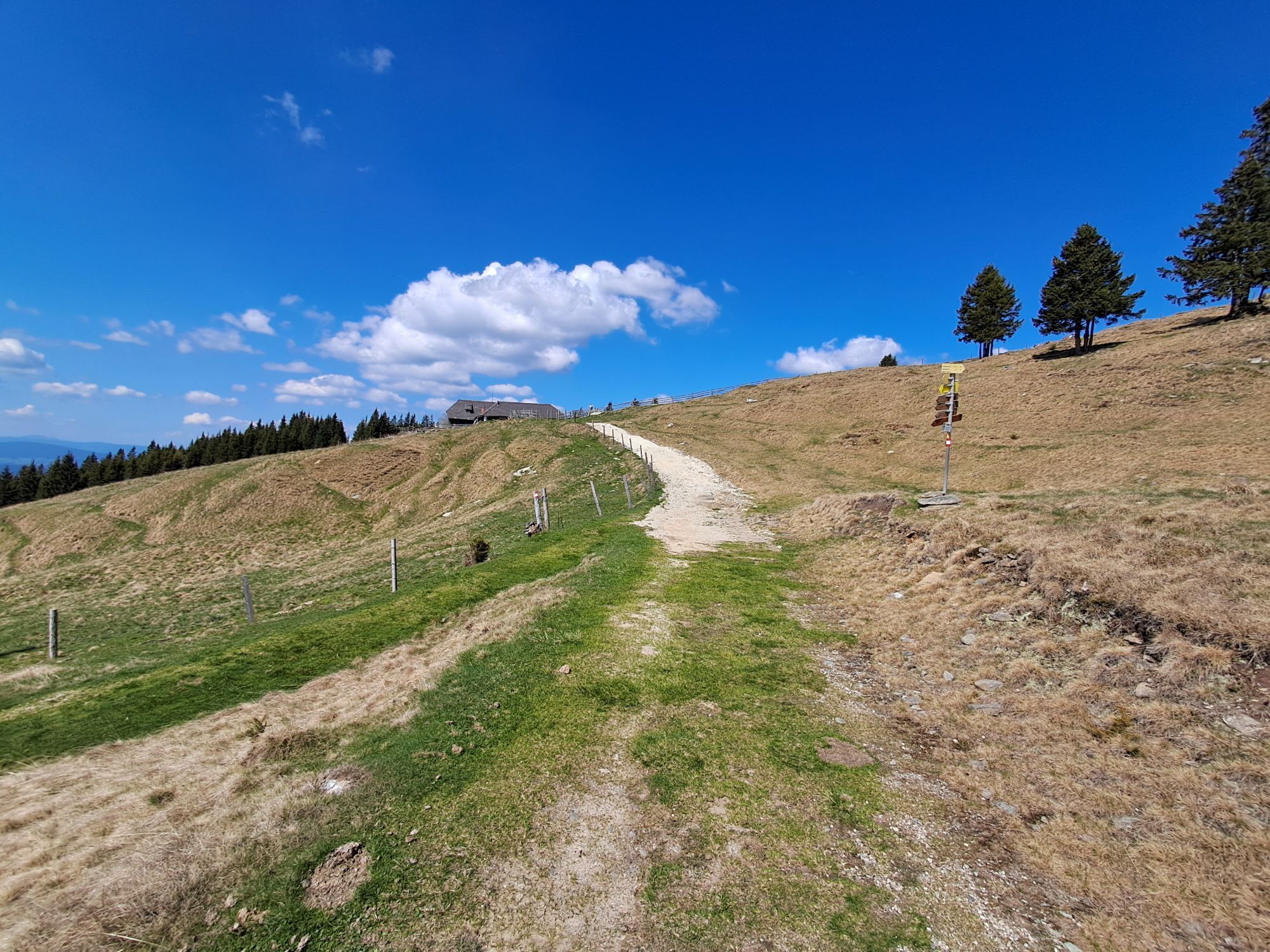
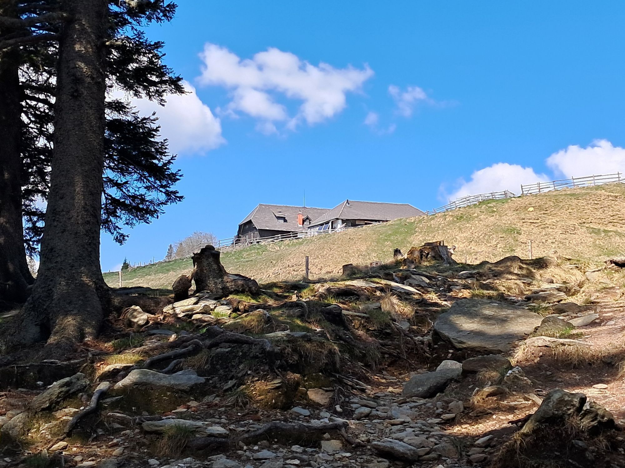
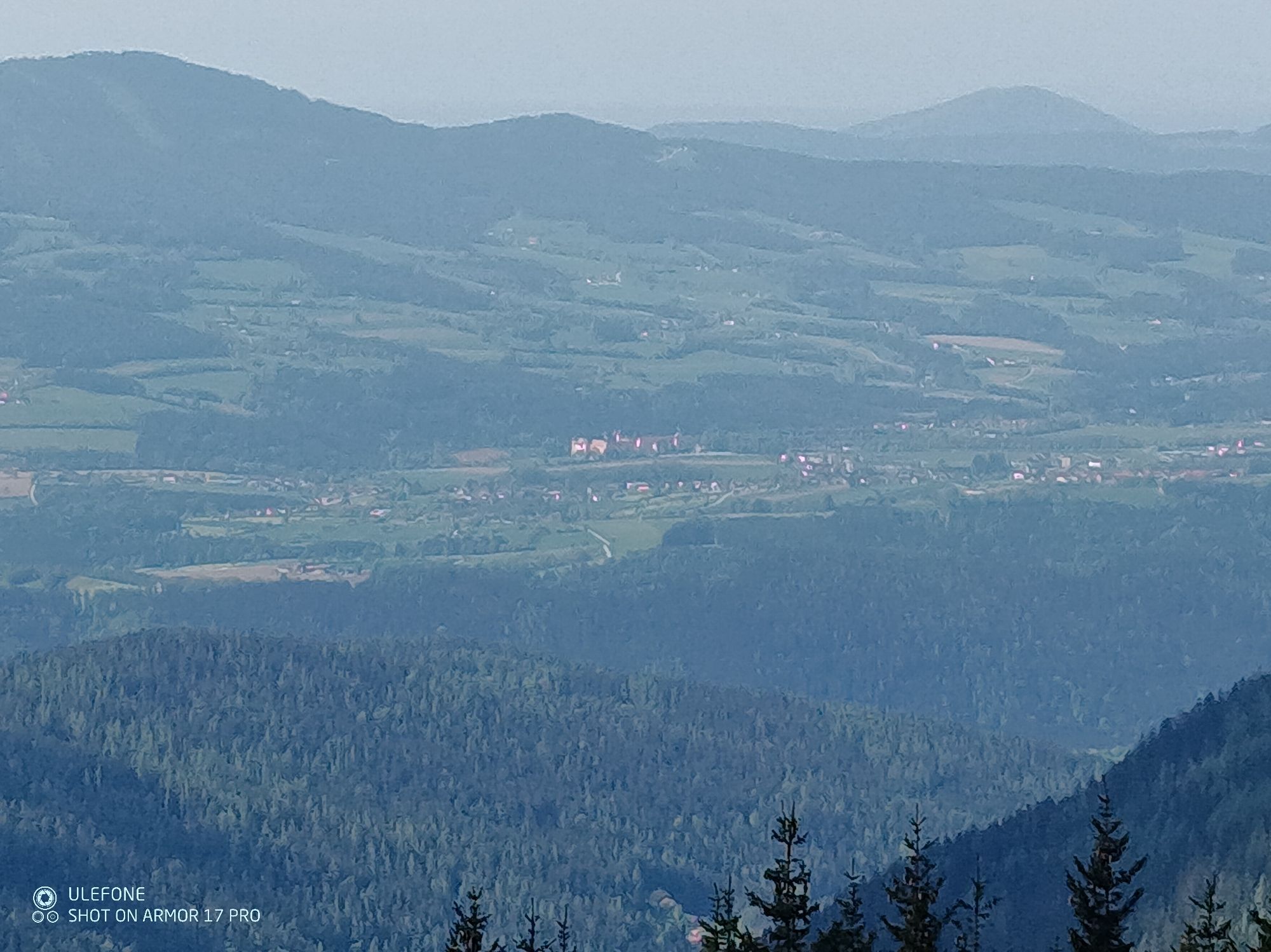
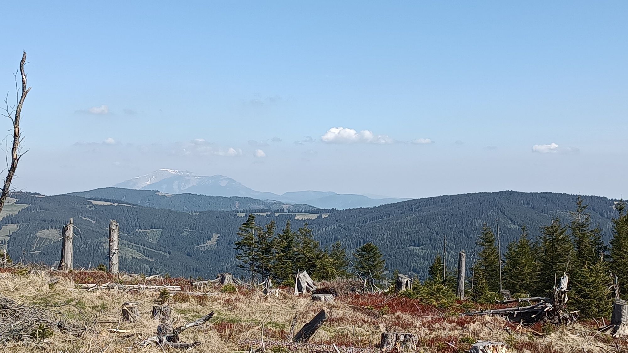
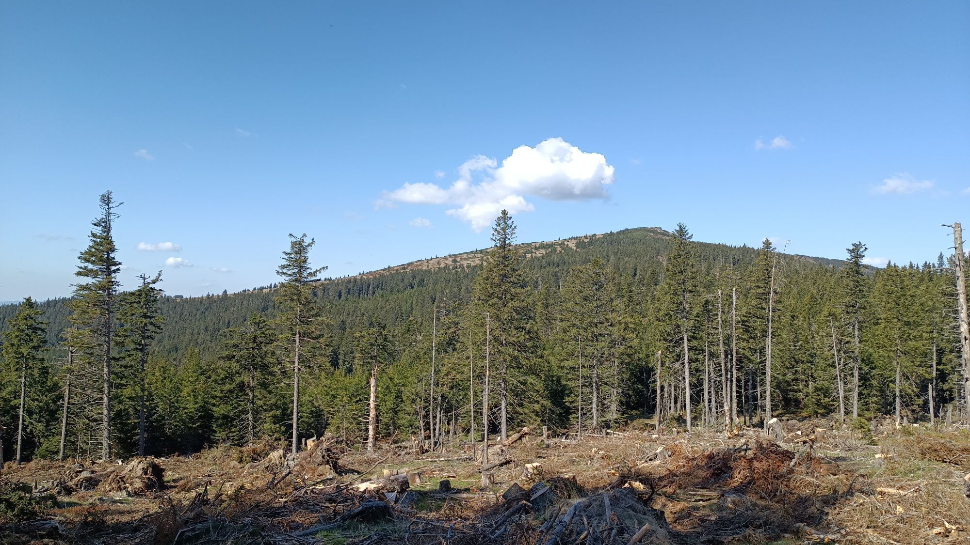
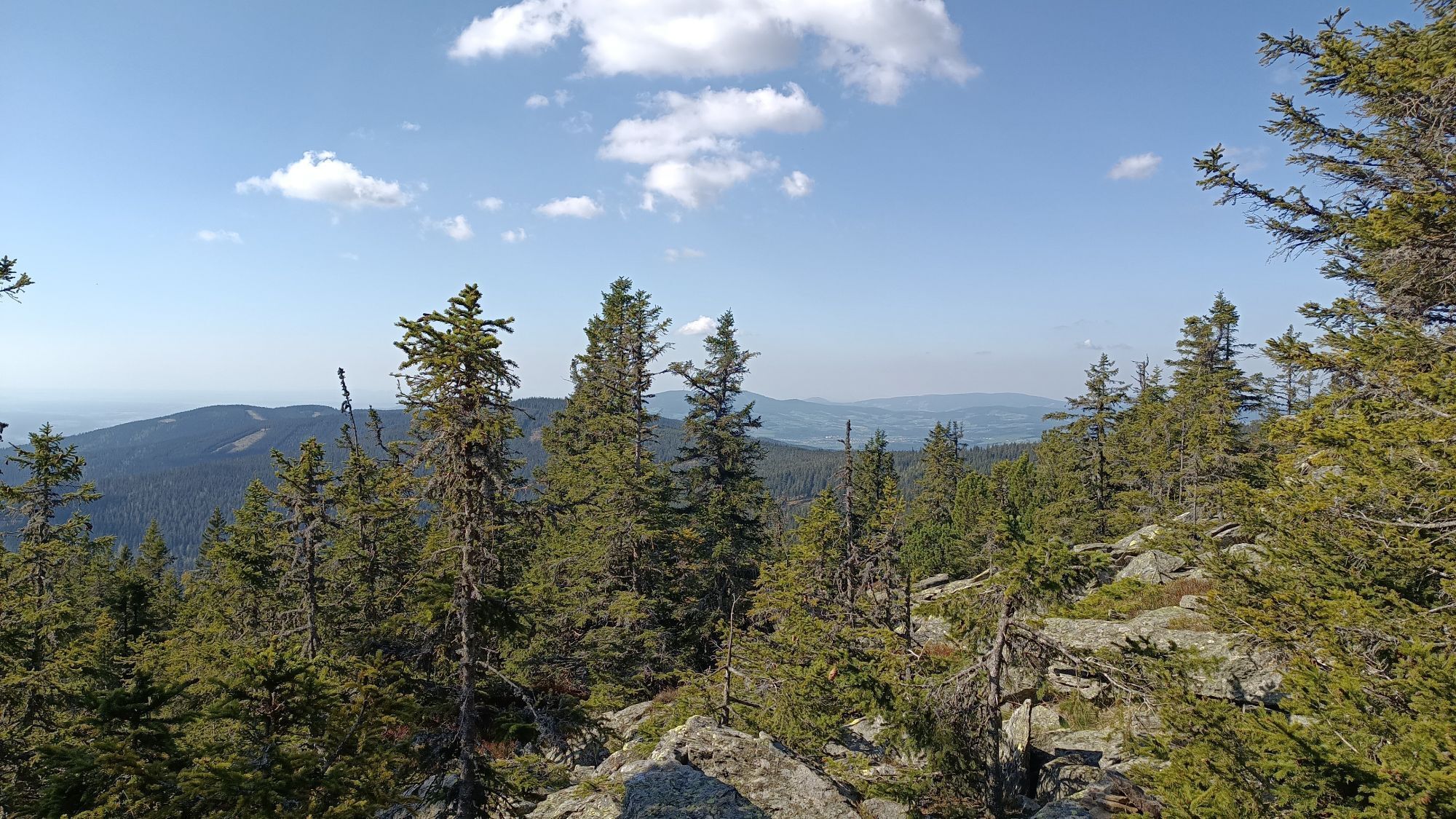
The Niederwechsel tour starts at the hiking starting point in Mönichkirchen. Right at the start, between Mönichkirchen and Mönchkirchner Schwaig, you can walk along the themed Water of Life trail with...
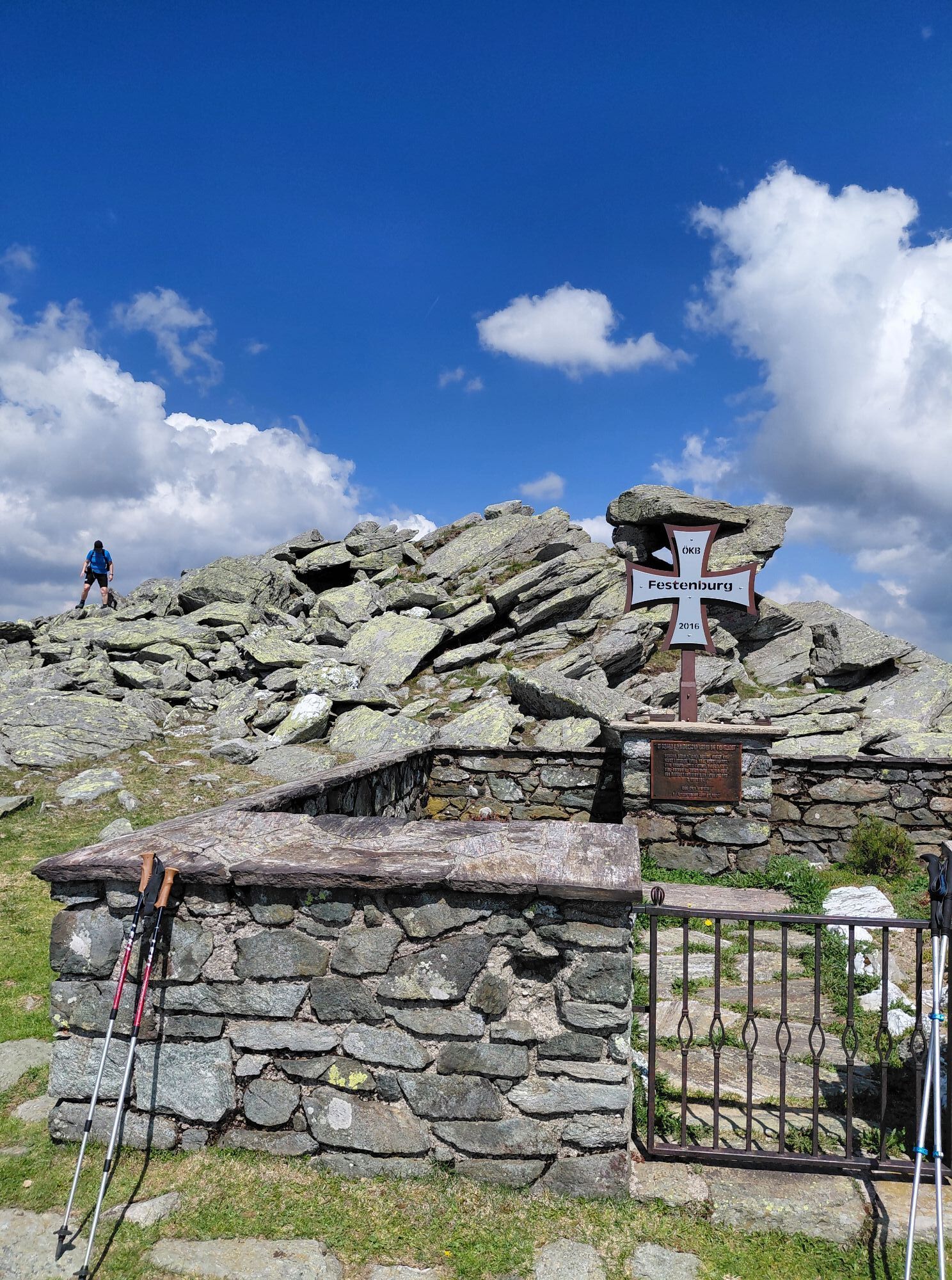
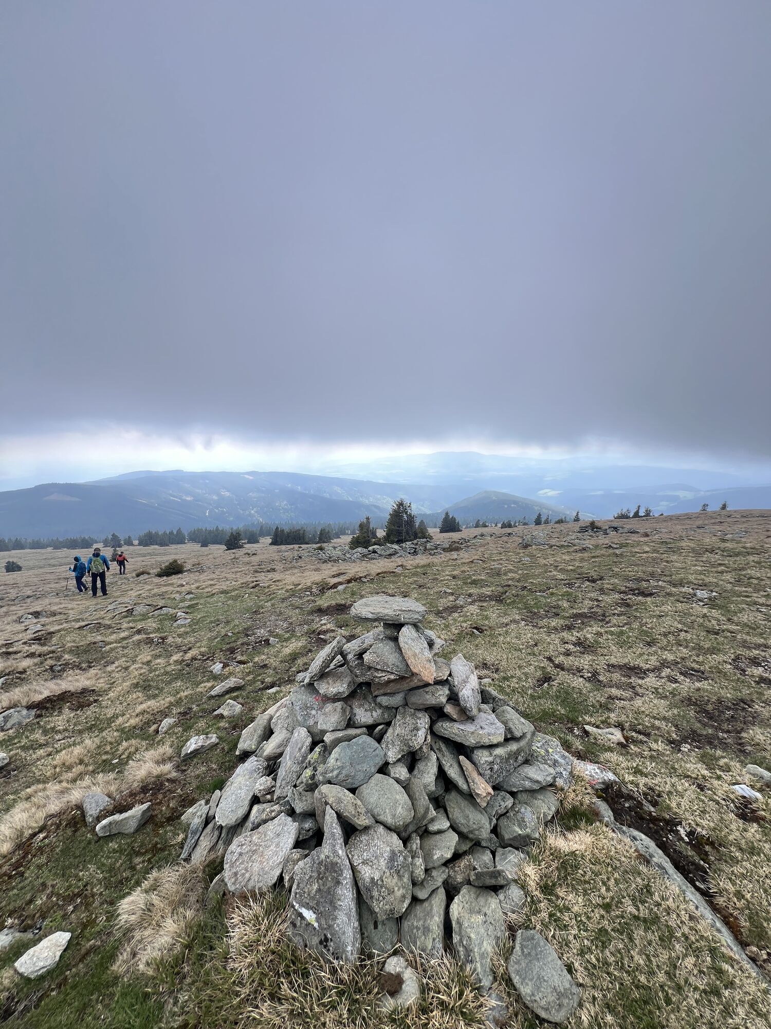
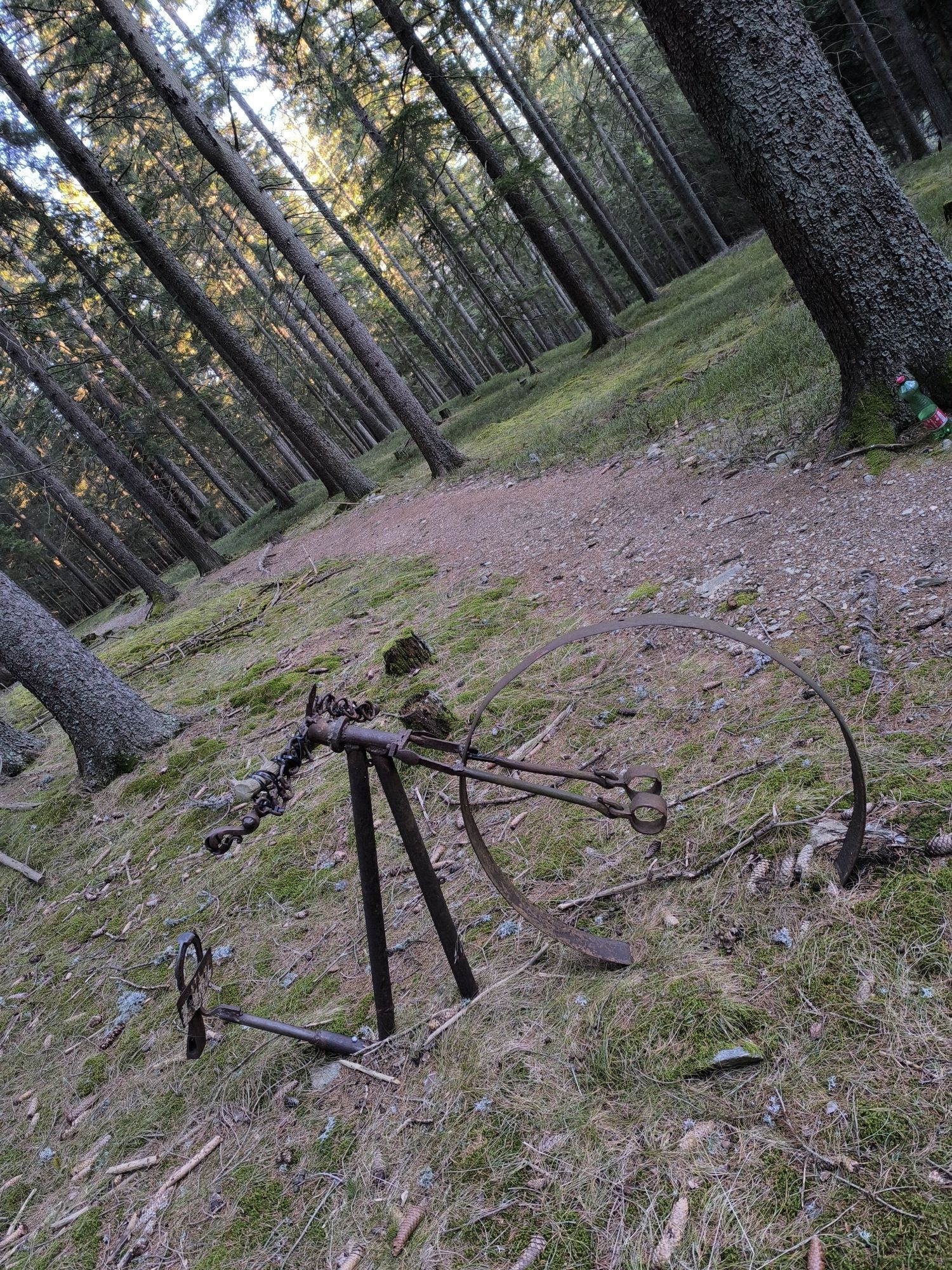
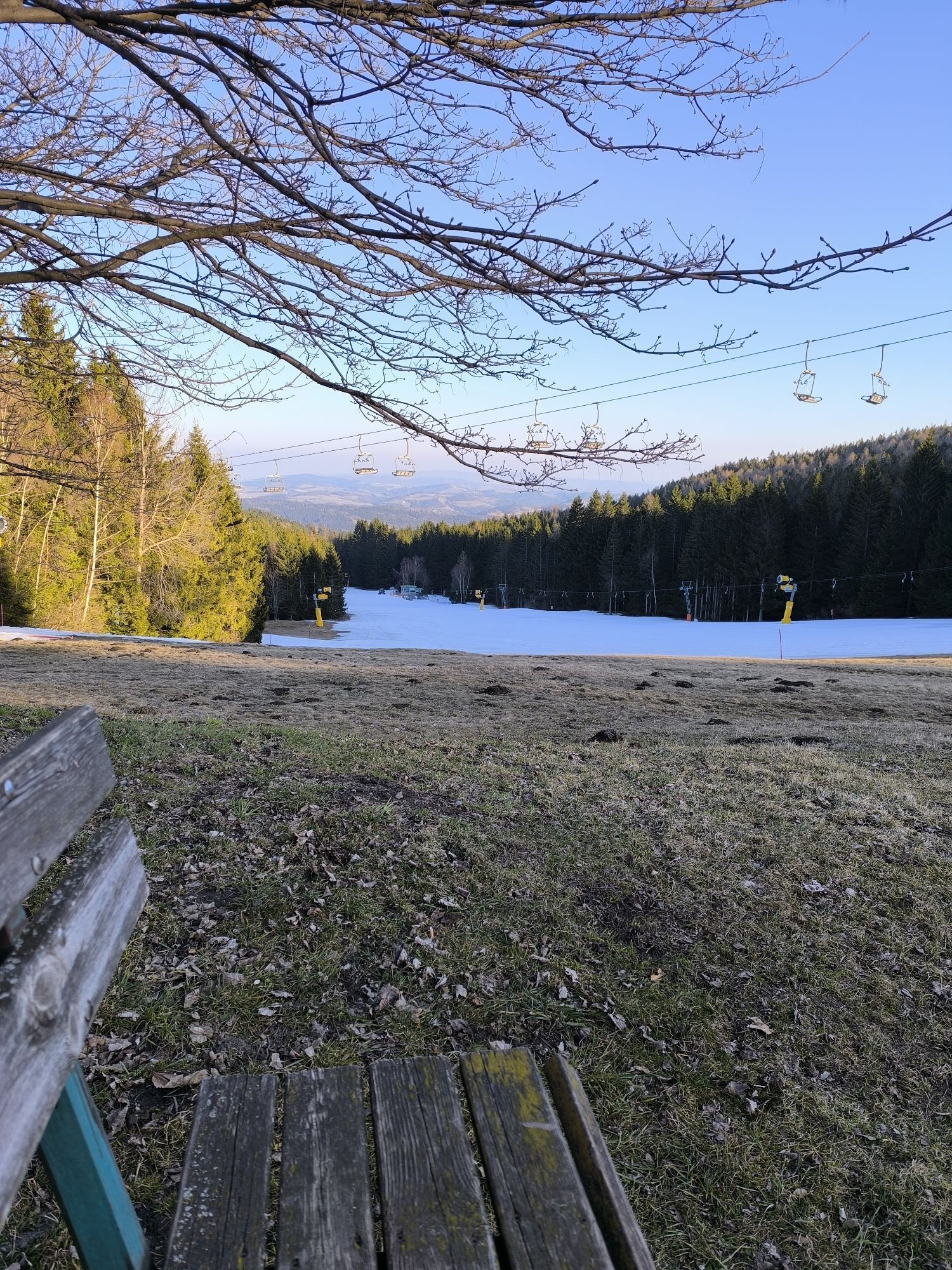
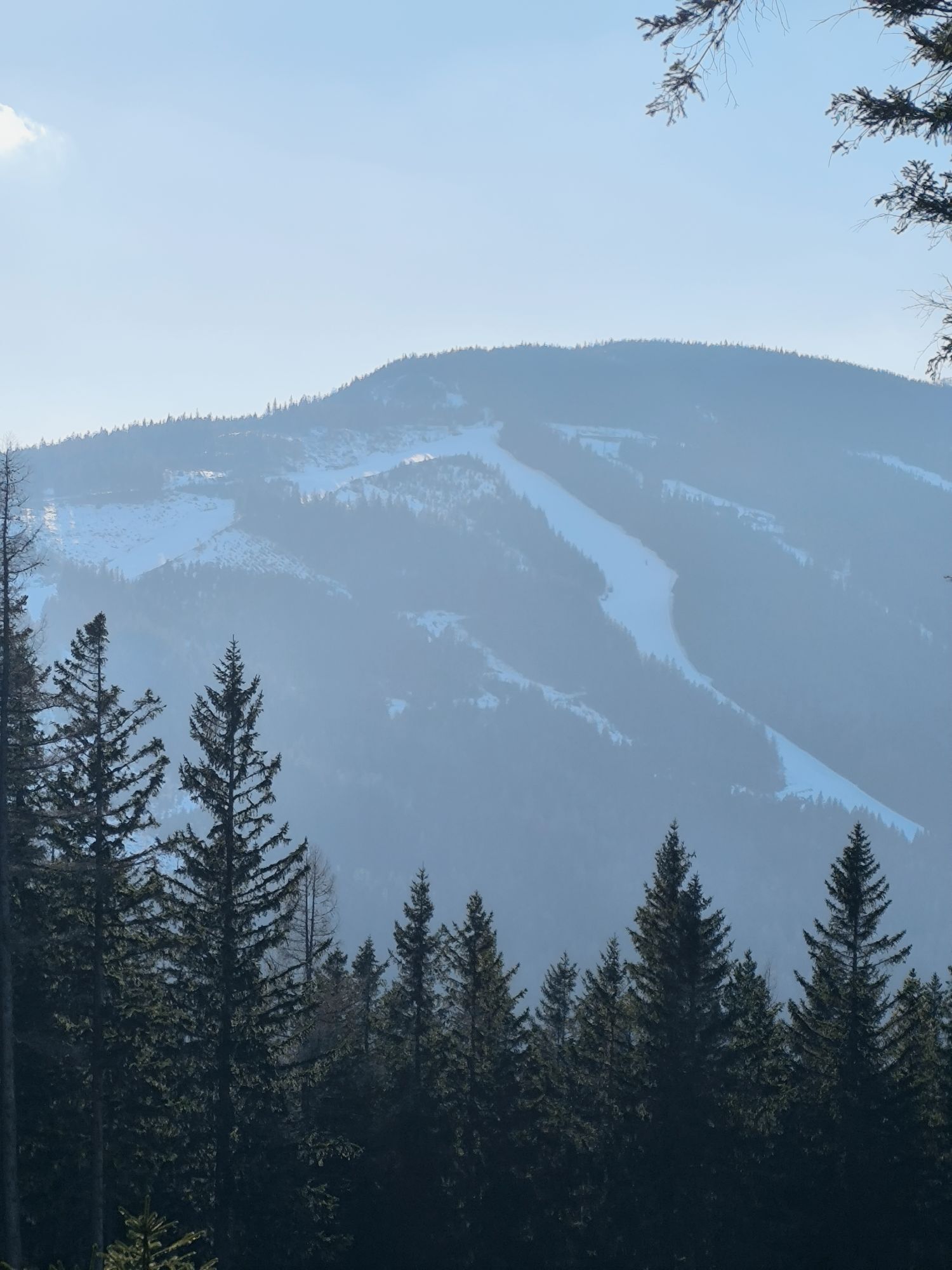
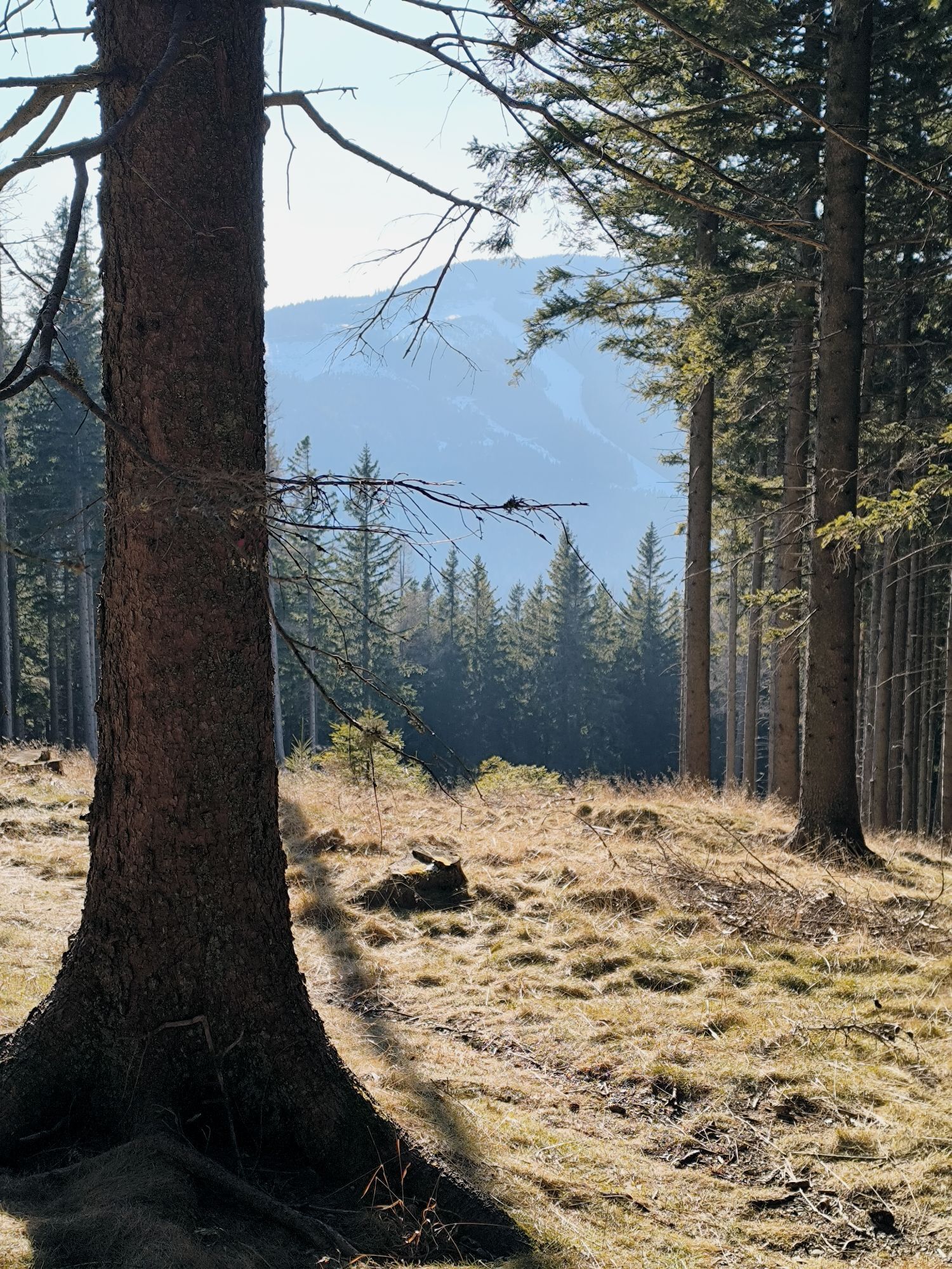
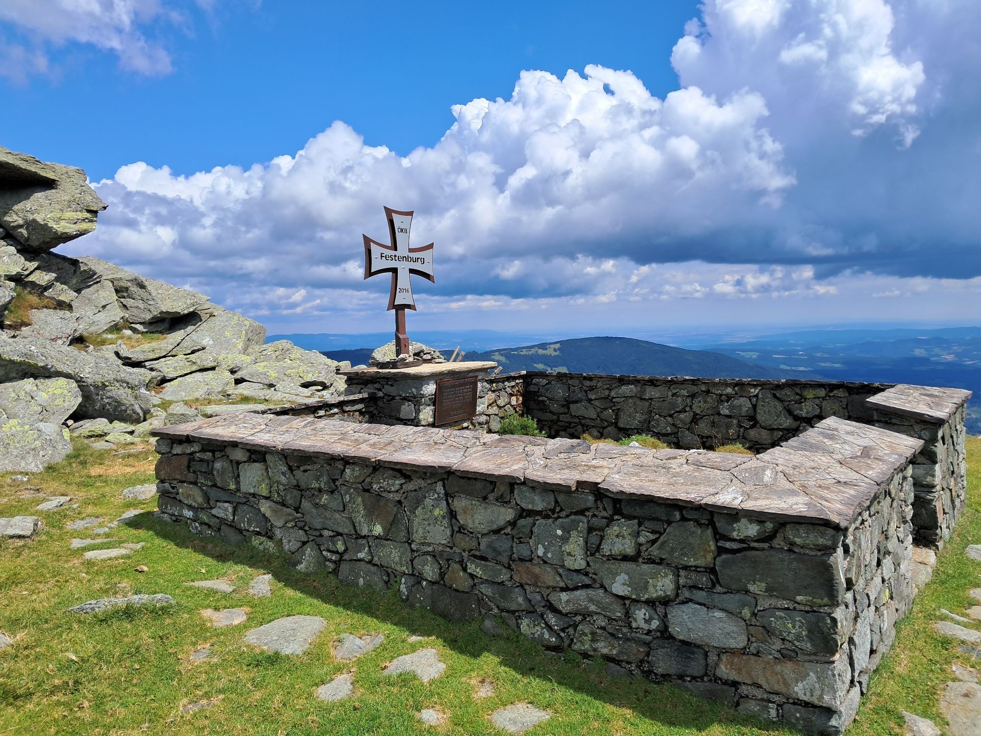
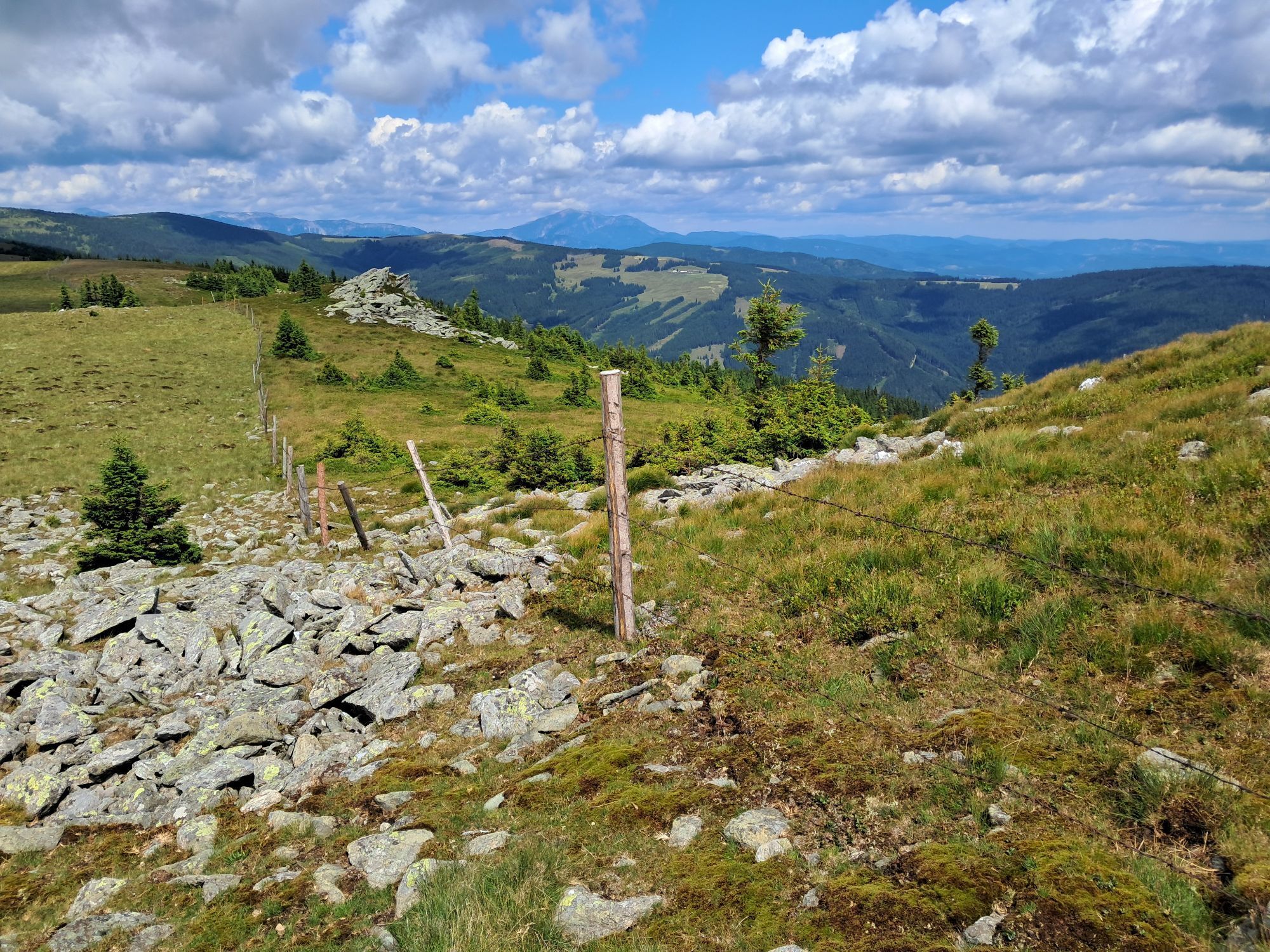
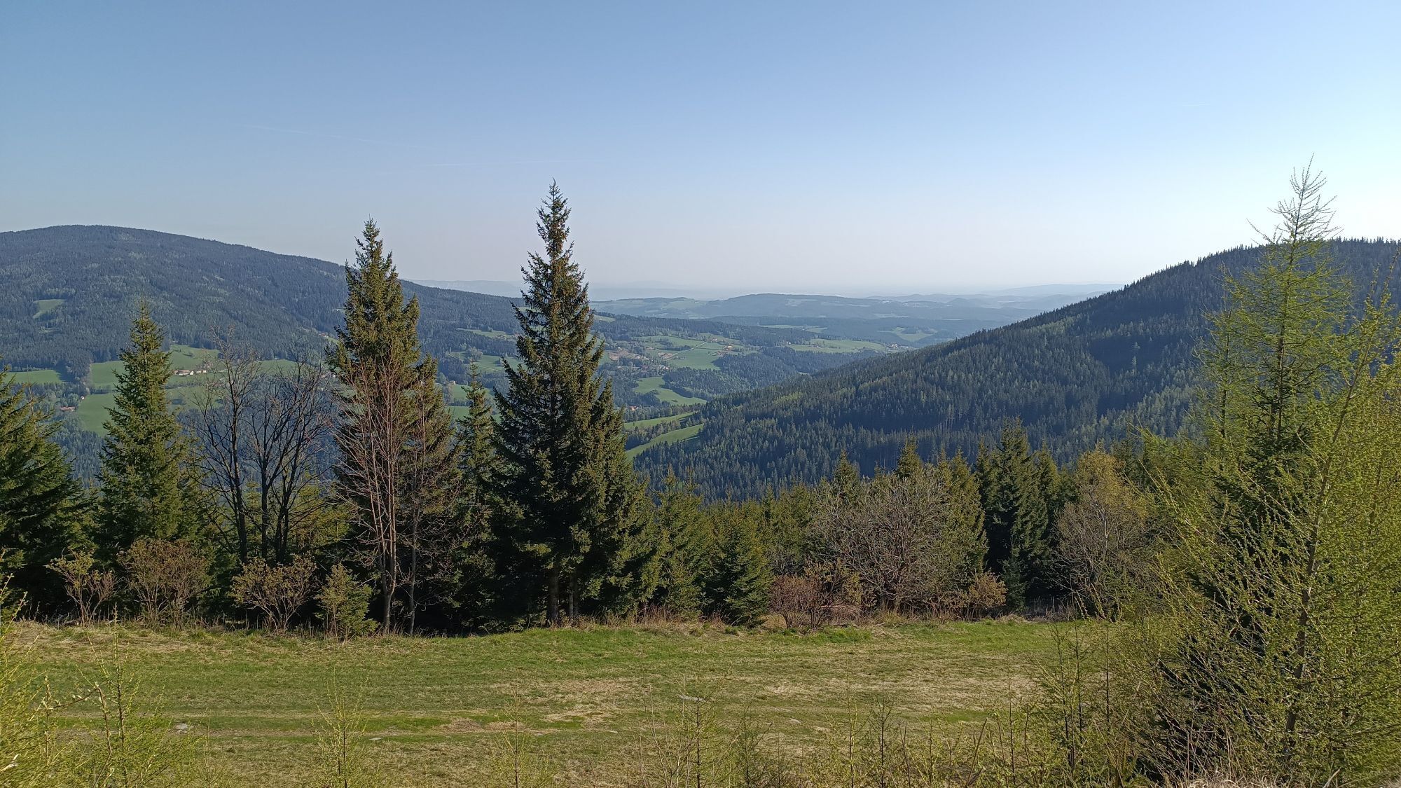
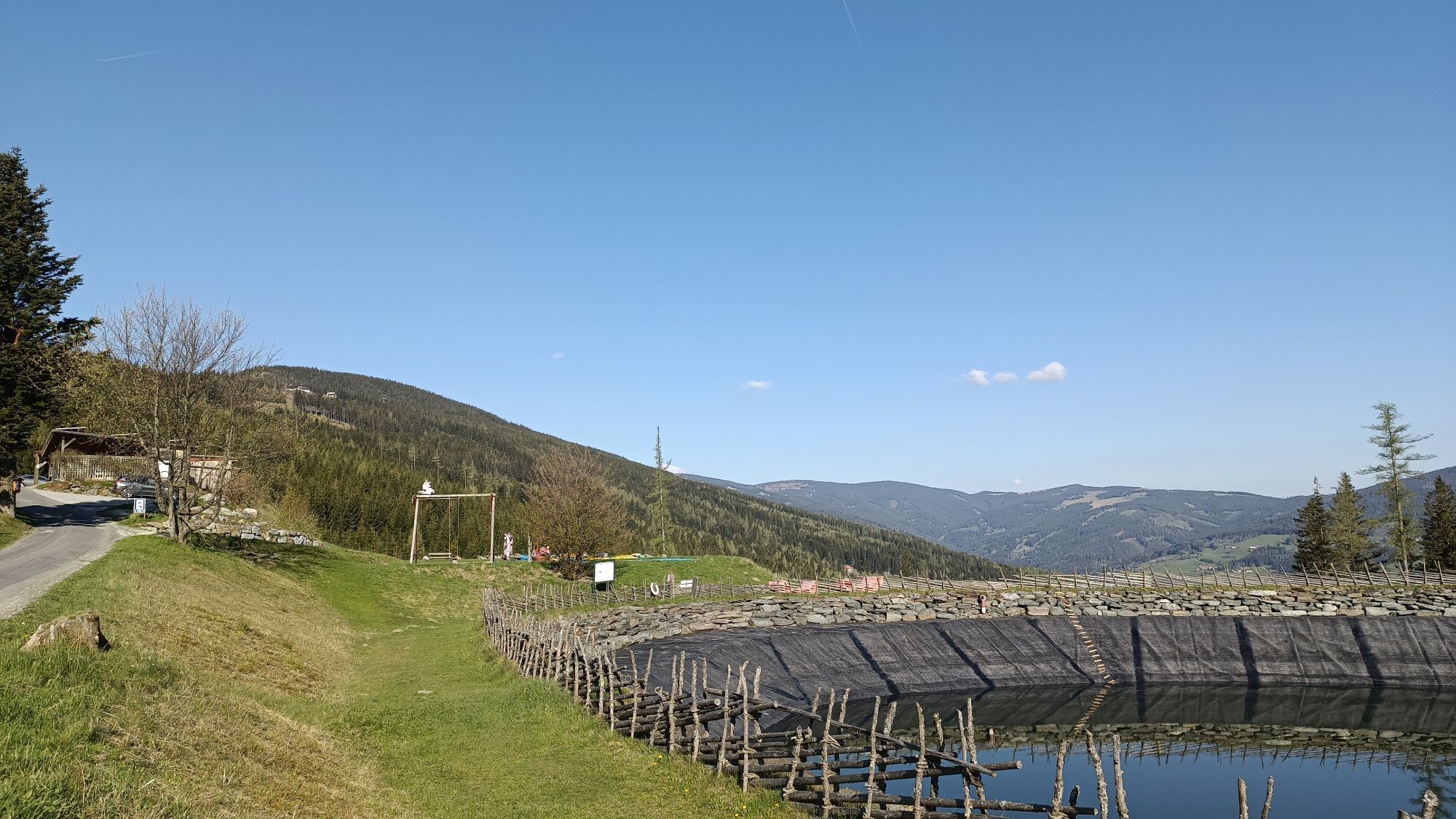
The Niederwechsel tour starts at the hiking starting point in Mönichkirchen. Right at the start, between Mönichkirchen and Mönchkirchner Schwaig, you can walk along the themed Water of Life trail with 7 stations, including the Salaerium, where brine drips onto brushwood and releases essential oils. If you prefer to take it easy, take the "Sonnenlift" to the summit station at the Mönichkirchner Schwaig. The trail continues via the Hallerhaus and the Stoa Alm to the Steinerne Stiege and on to the Niederwechsel at 1669m (heroes' cemetery from the Second World War). Enjoy the magnificent panoramic view once again and continue on the way back to the Vorauer Schwaig. It's worth stopping for a bite to eat here! The trail continues towards the Studentenkreuz and back to the Schwaig and on foot to the Erlebnisalm valley station or with the 4-seat chair lift.

Always take suitable maps with you. Wear sturdy shoes adapted to the route, take sun and rain protection as well as water and a snack. Take your mobile phone with you and save the emergency number of mountain rescue: 140
Your hikes in the Vienna Alps should be a completely enjoyable and safe experience. Therefore, please observe the following:
Preparation
Make sure when choosing the route that it matches your experience and fitness level. Check the weather forecast in advance. The weather in the mountains can change surprisingly quickly. Therefore, always start out properly equipped (e.g., rain protection).
Check whether the huts and snack stations you want to visit on the way are open. Inform someone about the chosen route and your planned return before you set off.
Drive by car from Vienna via the A2, take the exit Edlitz onto Wechsel Str./B54 towards Aspang and follow the road B54 to Mönichkirchen.
Drive by car from Graz via the A2, take the exit Knoten Graz-Ost left onto A2/E66 towards Vienna/Gleisdorf/Laßnitzhöhe/Hungary and continue on A2. Take exit 95-Pinggau towards Friedberg/B63, Haideggendorf, roundabout third exit onto B63, right onto B54 and follow the road to Mönichkirchen.
Take the train from Vienna via Wr. Neustadt to Aspang Markt. Continue by bus to Mönichkirchen until the stop "Hotel Thier".
Take the train from Graz to Aspang Markt. Continue by bus to Mönichkirchen until the stop "Hotel Thier".
Then walk to the valley station of the Sonnenbahn Mönichkirchen.
For more information visit www.anachb.at
Park at the valley station of the Sonnenbahn Mönichkirchen.
Vienna Alps in Lower Austria, www.wieneralpen.at, +43 / 2622 / 78960
The first altitude meters up to the Schwaig can be covered with the 4-seater chairlift.
Dining tip:
Hallerhaus
Stoa Alm
Vorauer Schwaig
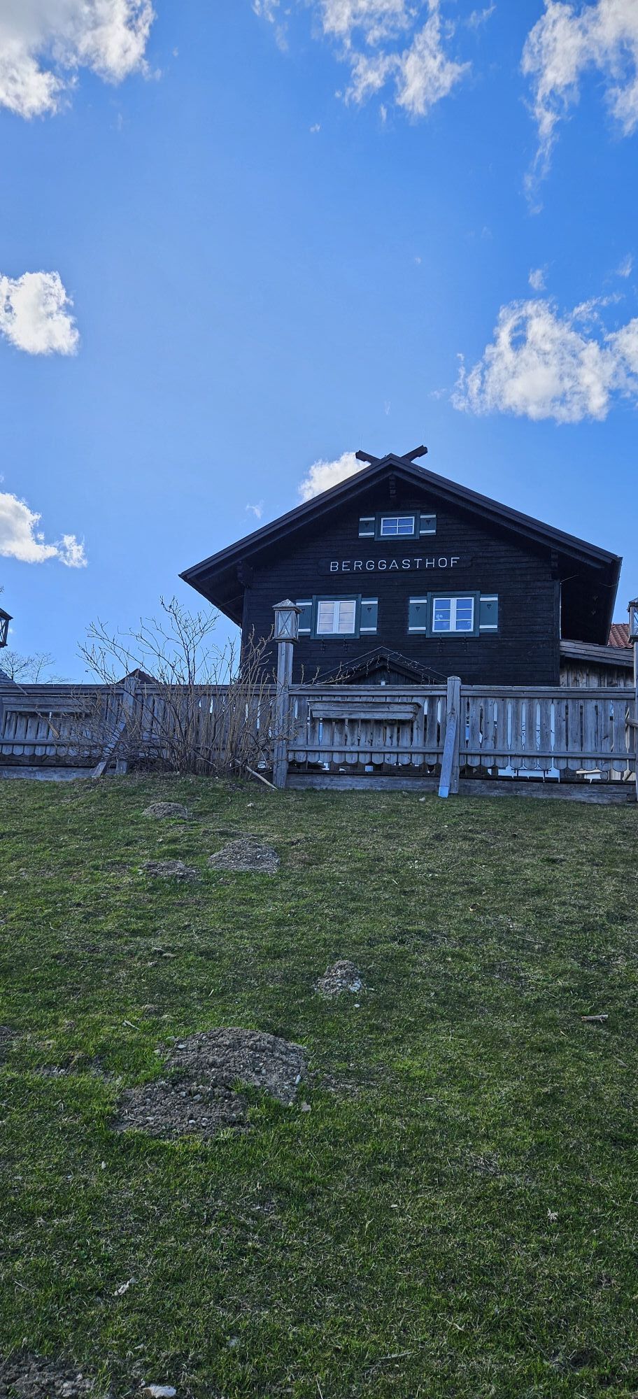
Berggasthof Mönichkirchner Schwaig
Uzyskaj wgląd
Zawsze na żywo z ponad 9 500 kamer internetowych. bergfex Jako użytkownik Pro, możesz teraz zobaczyć odpowiednie kamery internetowe dla wielu wycieczek w aplikacji wycieczki od. Pozwala to na bezpośredni podgląd aktualnych warunków.
Popularne wycieczki w okolicy
-
4,8
Hochwechsel-Runde, Waldbach-Mönichwald
średniTrailrunning 17,9 km -
3,7
Schwaigen Rundwanderung
światłoWędrówka 8,24 km -
3,8
St. Corona - Kampstein
średniWędrówka 10,7 km -
4,6
Mariensee - Wildwasserweg - Marienseer Schwaig
światłoWędrówka 8 km -
4,5
Rabl-Kreuz-Hütte auf den Hochwechsel
światłoRakieta do chodzenia po śniegu 9,87 km -
4,5
Hochwechsel
średniWędrówka 14,3 km -
4,5
Sonnwendstein
średniWędrówka 9,40 km -
4,5
Schanzkapelle - Kleiner Otter - Mitterotter - Großer Otter - Kummerbauerstadl - von Göstritz Göstritz, Niederösterreich
średniWędrówka 11,6 km -
4,7
Hochwechsel - Tour
Wędrówka 18,5 km -
4,4
Kummerbauerstadl-Erzkogel-Sonnwendstein-Maria Schutz-Kummerbauerstadl
światłoWędrówka 12,2 km
Wędrówki i tropienie


Nie przegap ofert i inspiracji na następne wakacje
Twój adres e-mail została dodana do listy mailingowej.





