






Nature Friends' house Knofeleben via Payerbach-Reichenau

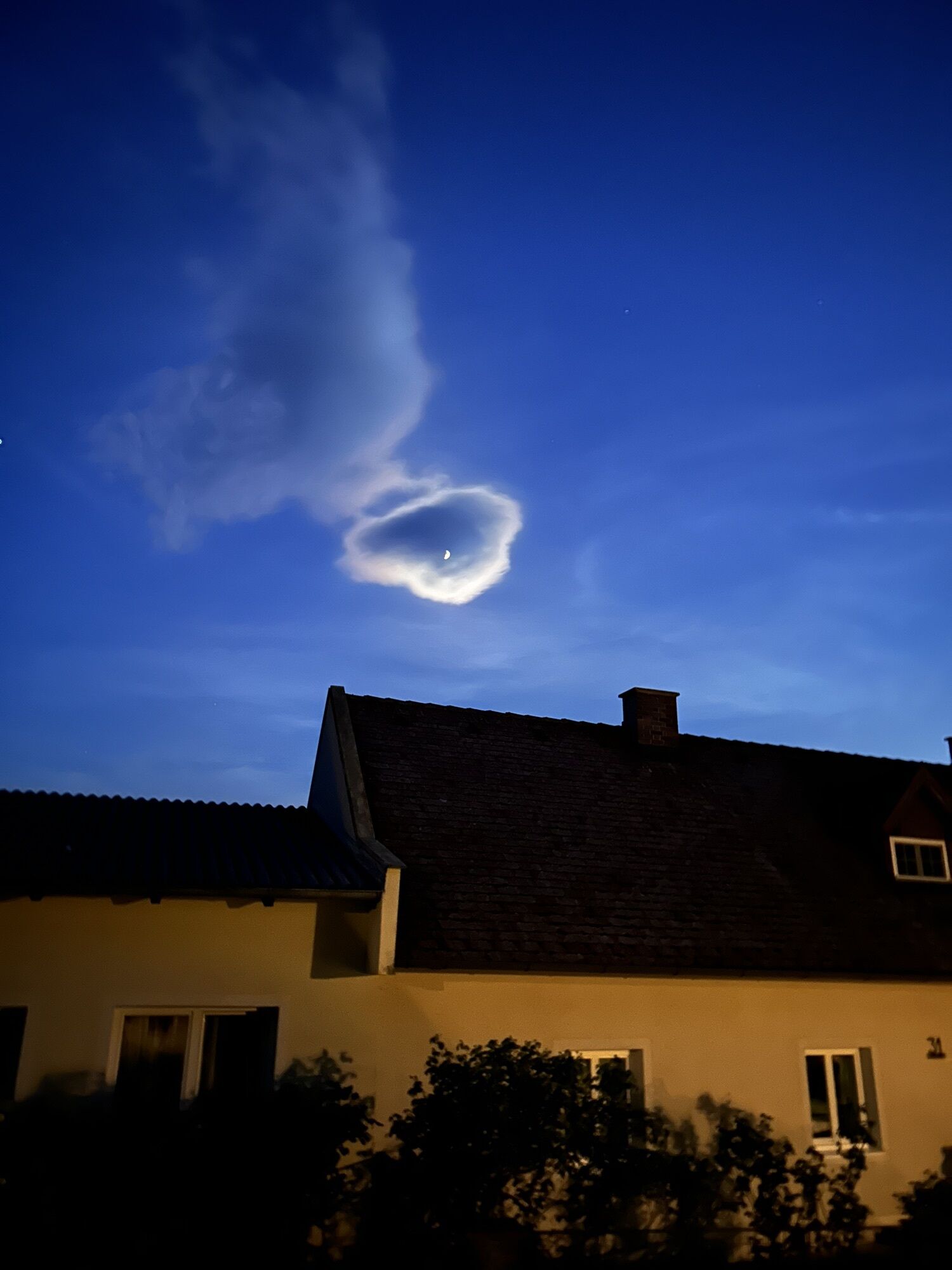
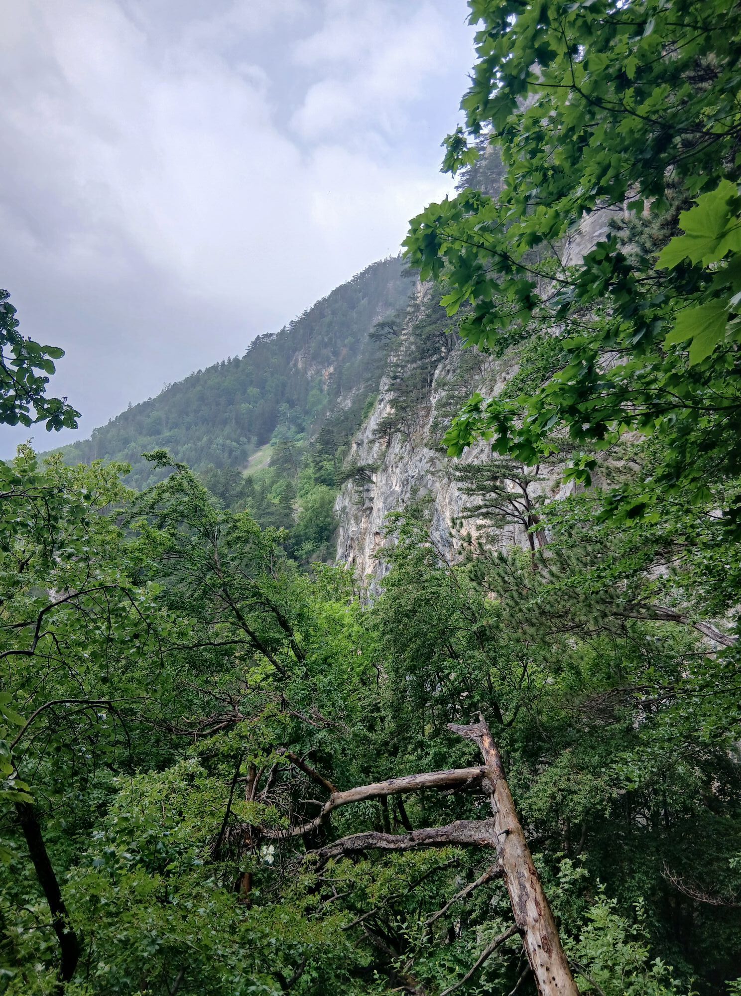
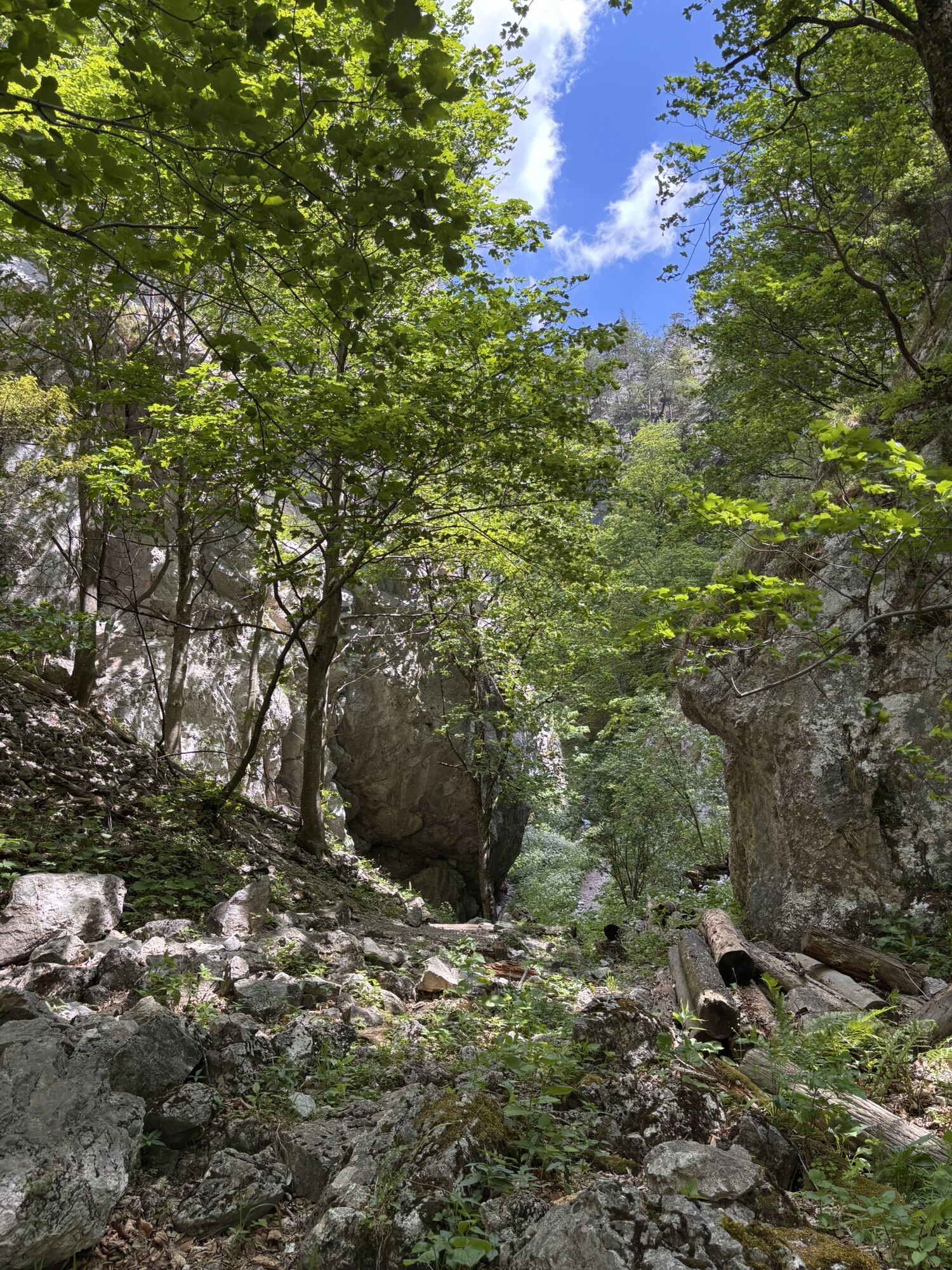
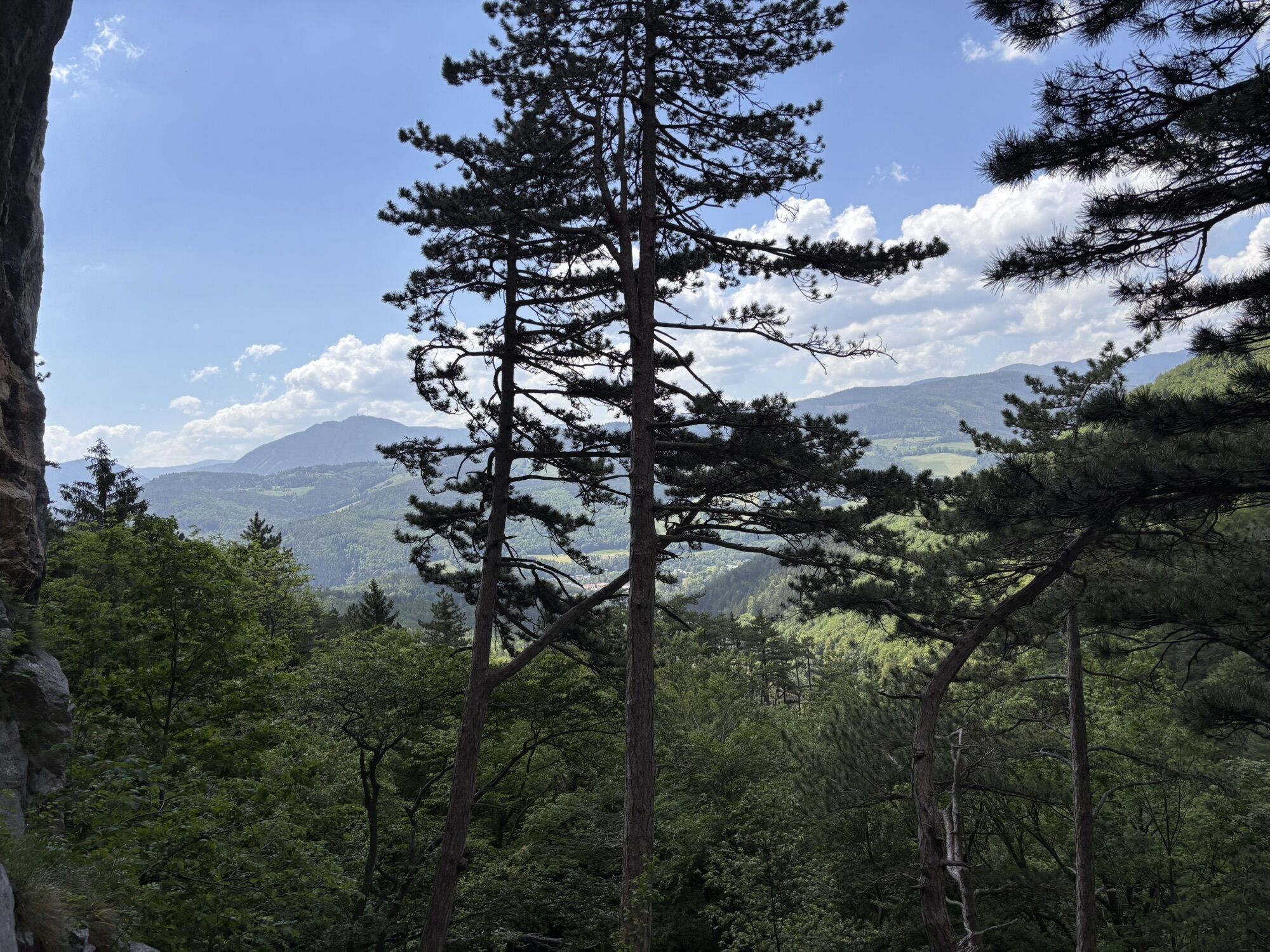
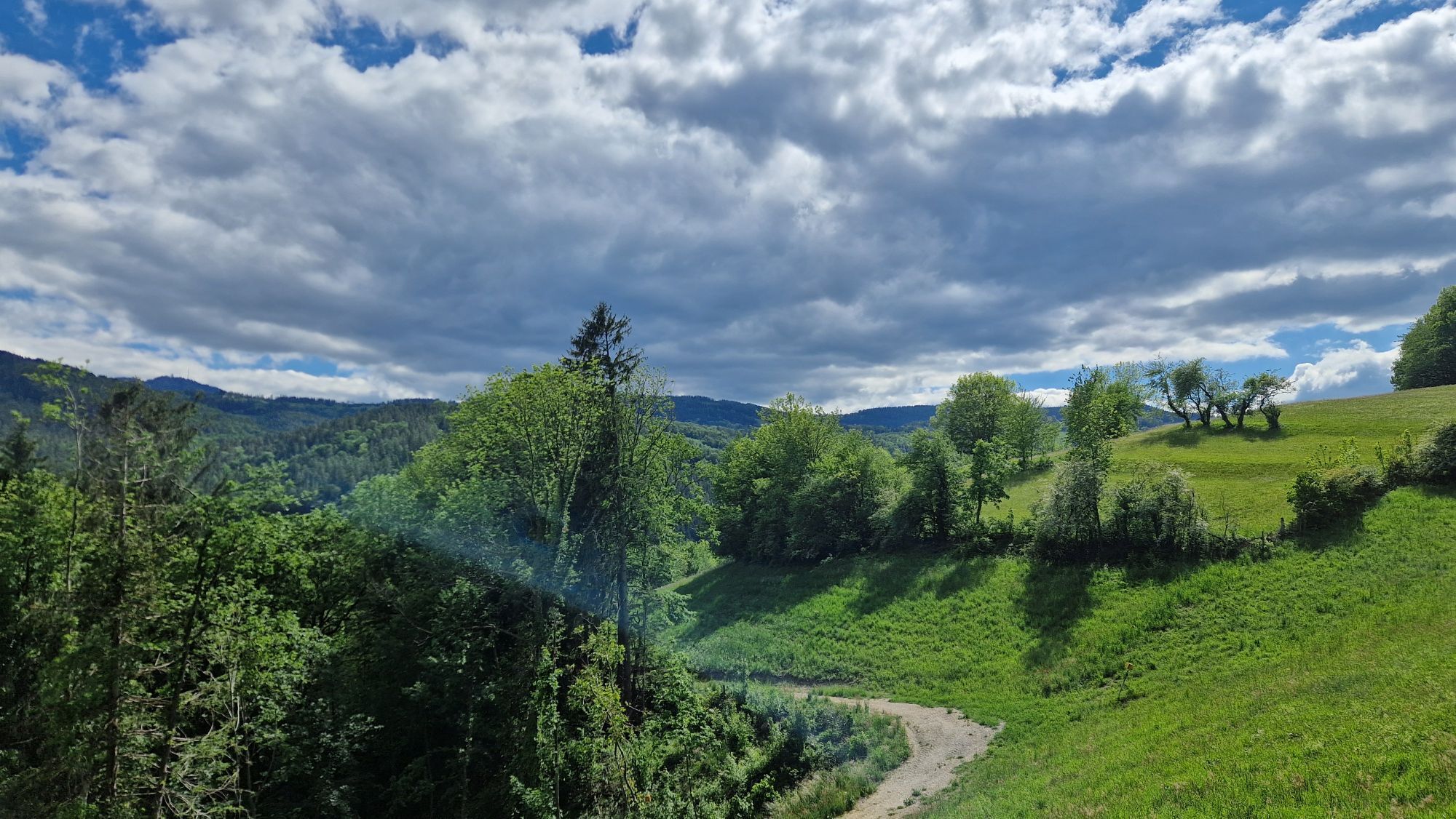
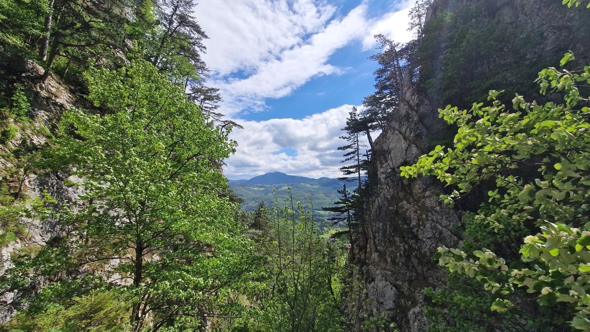
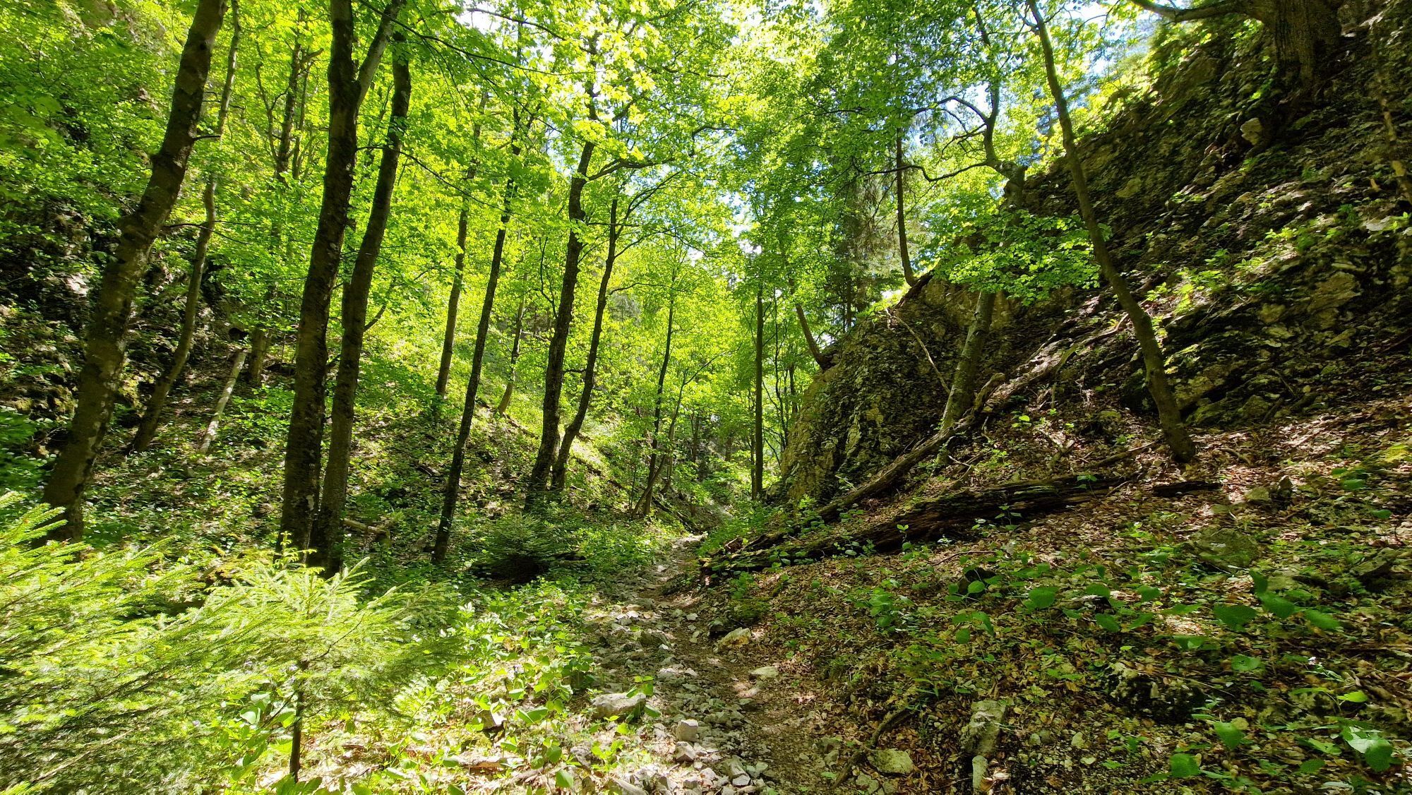
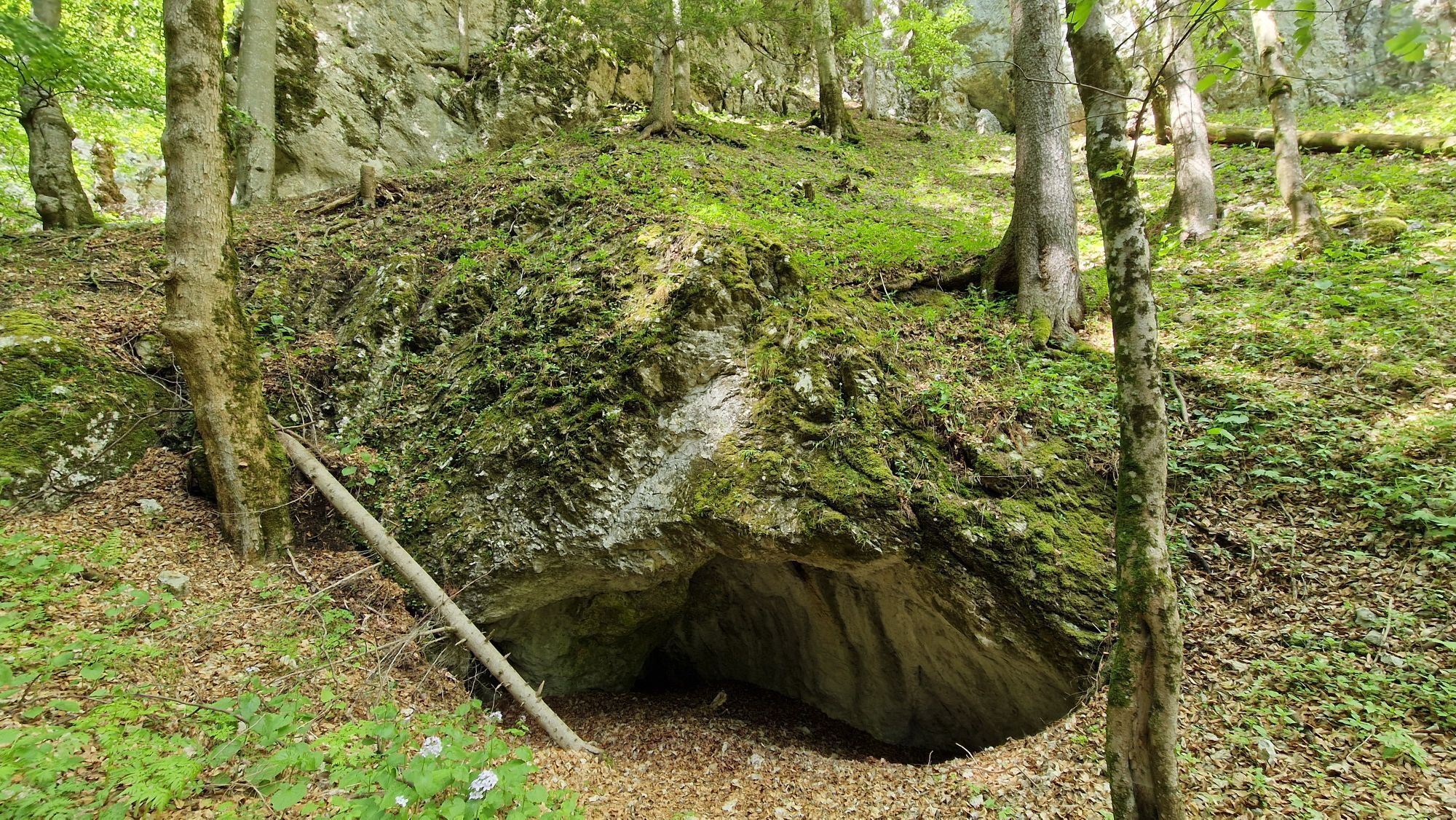
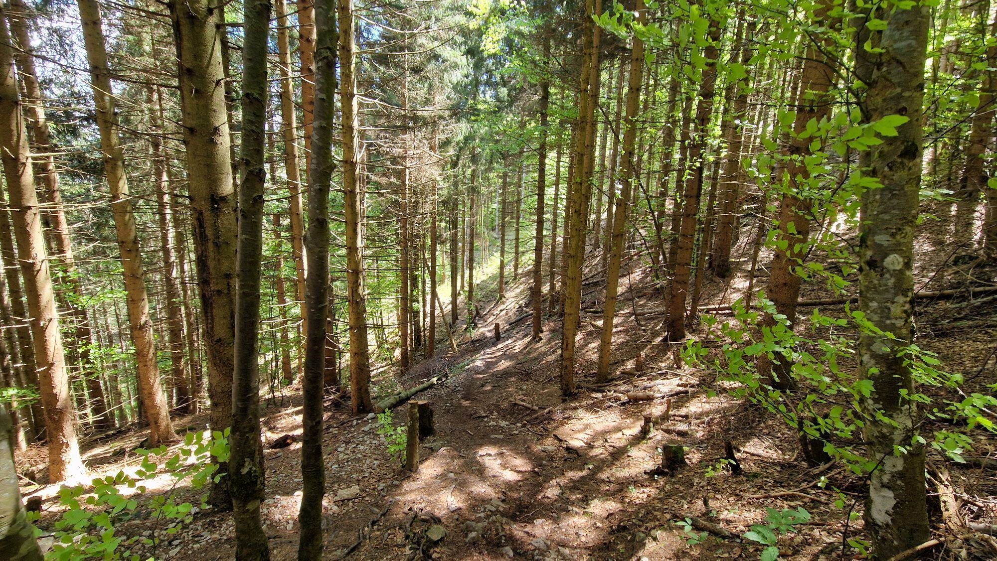
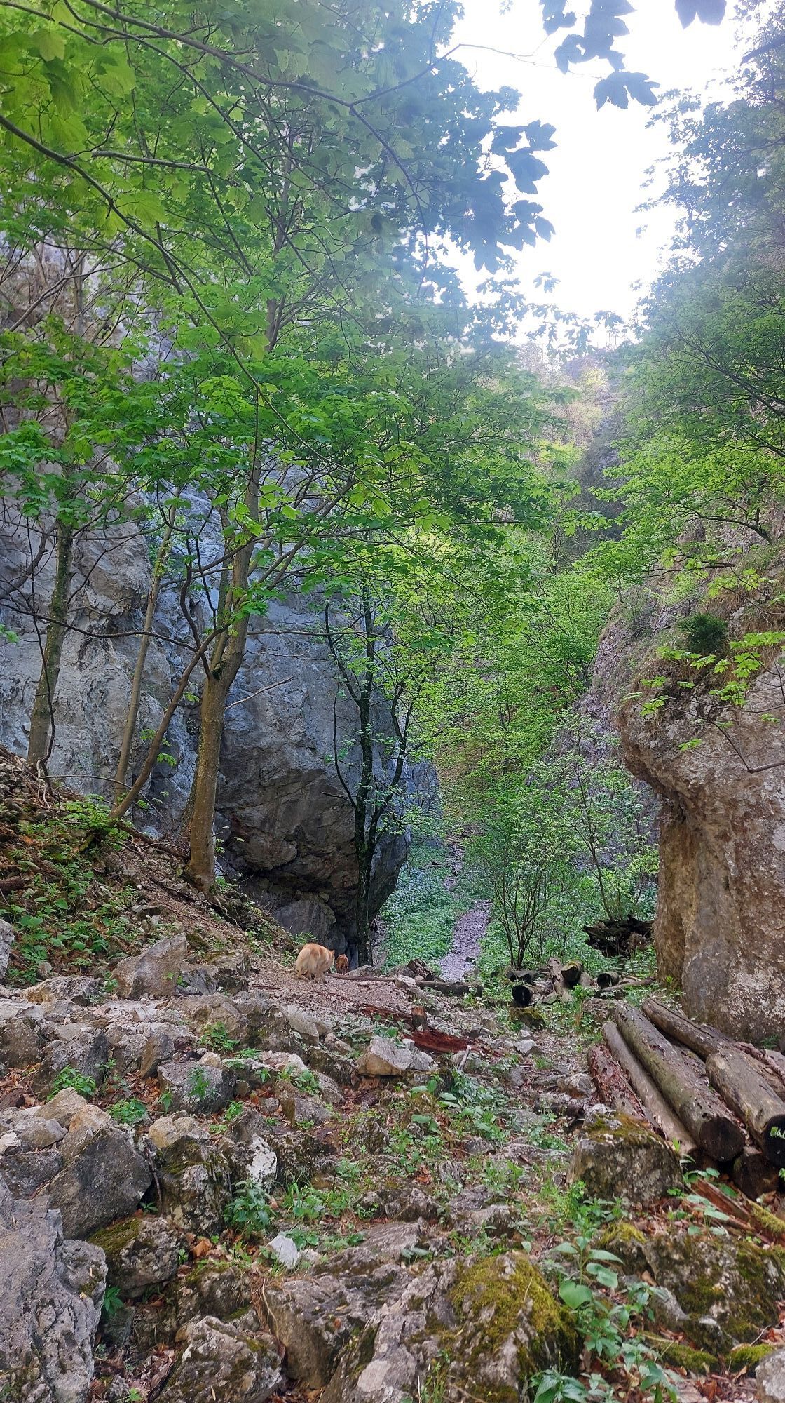
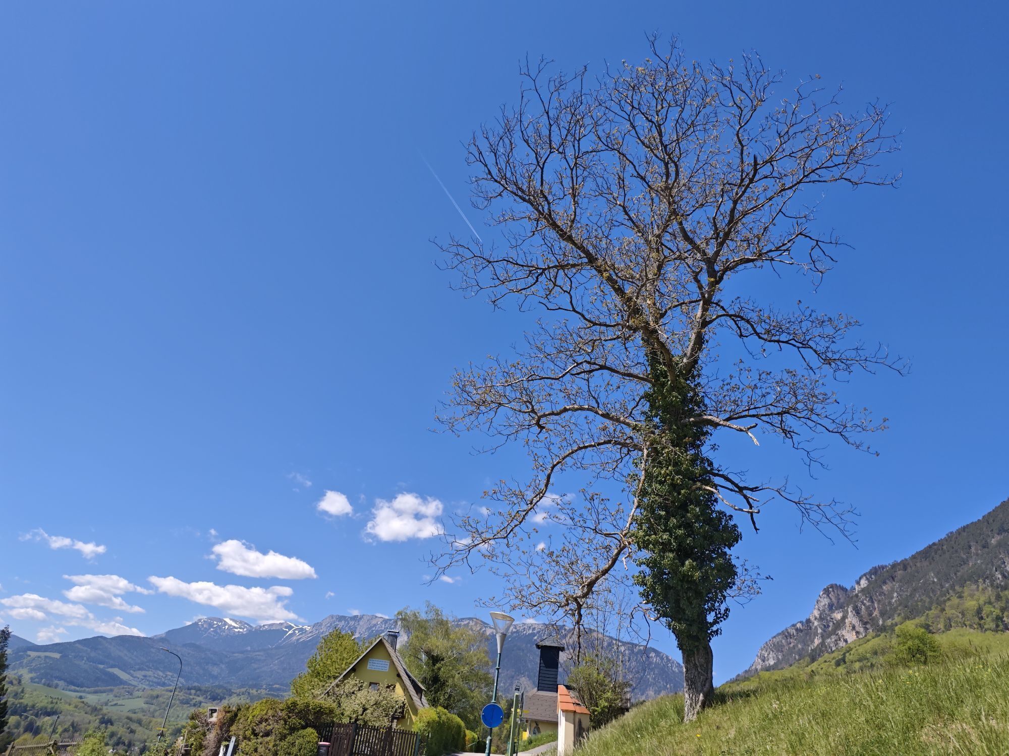
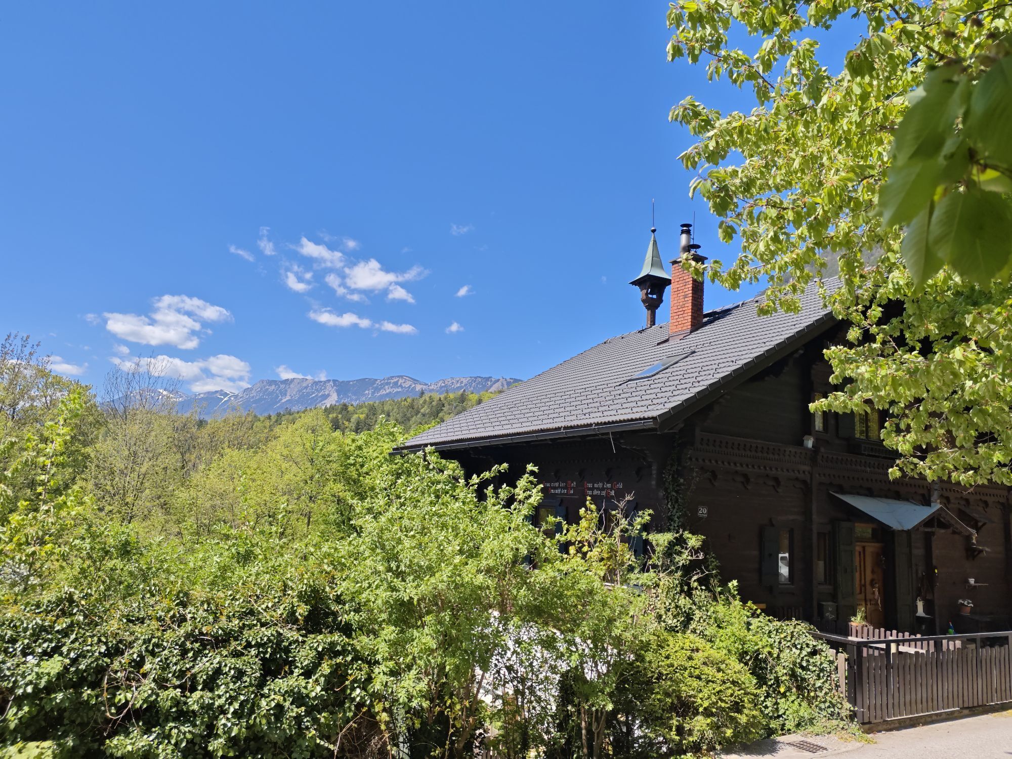
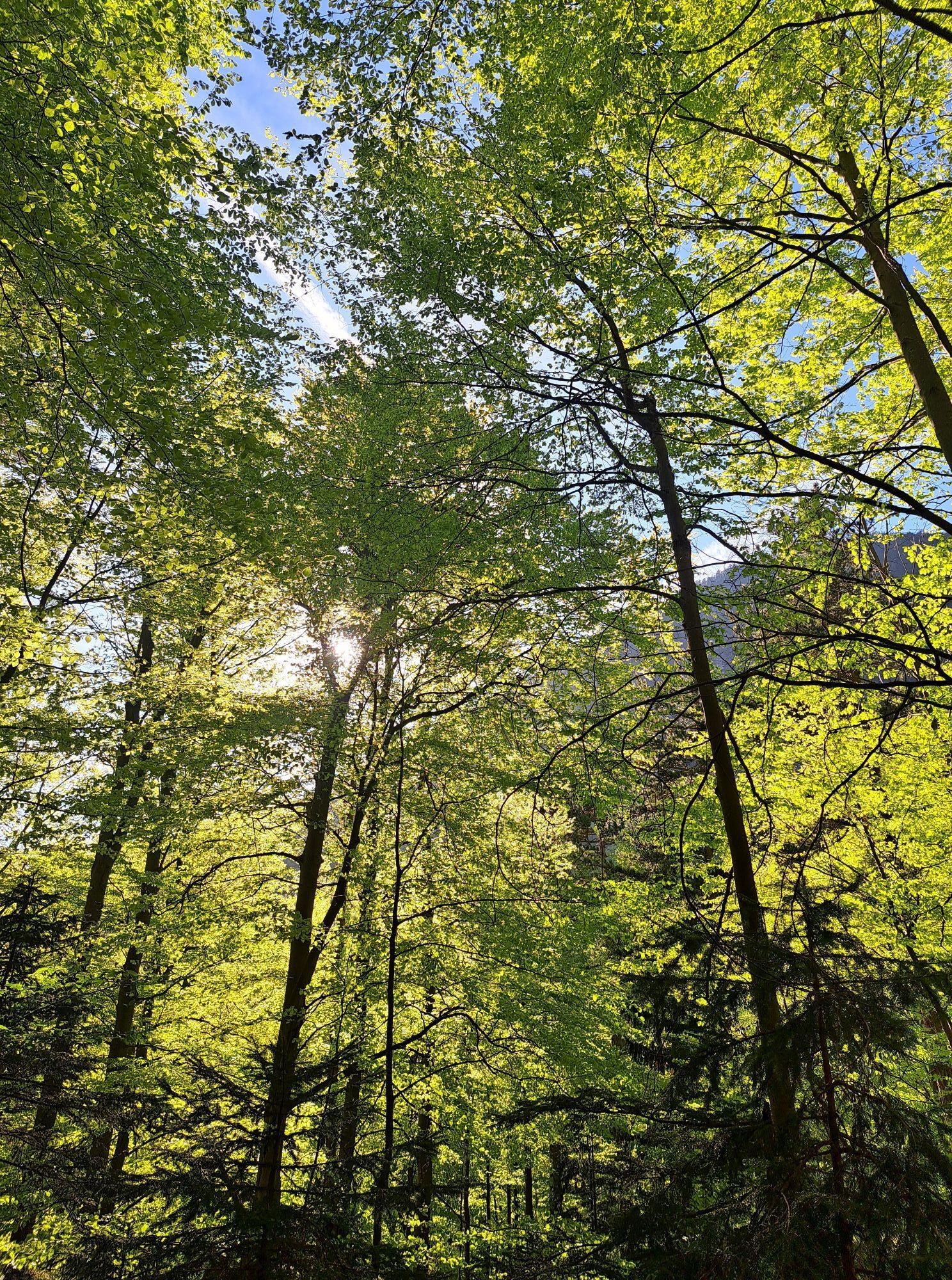
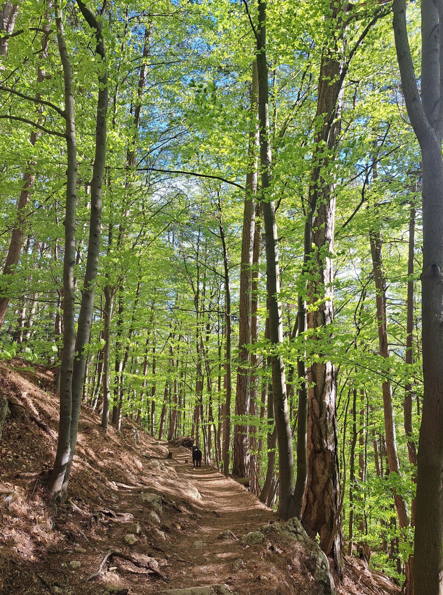
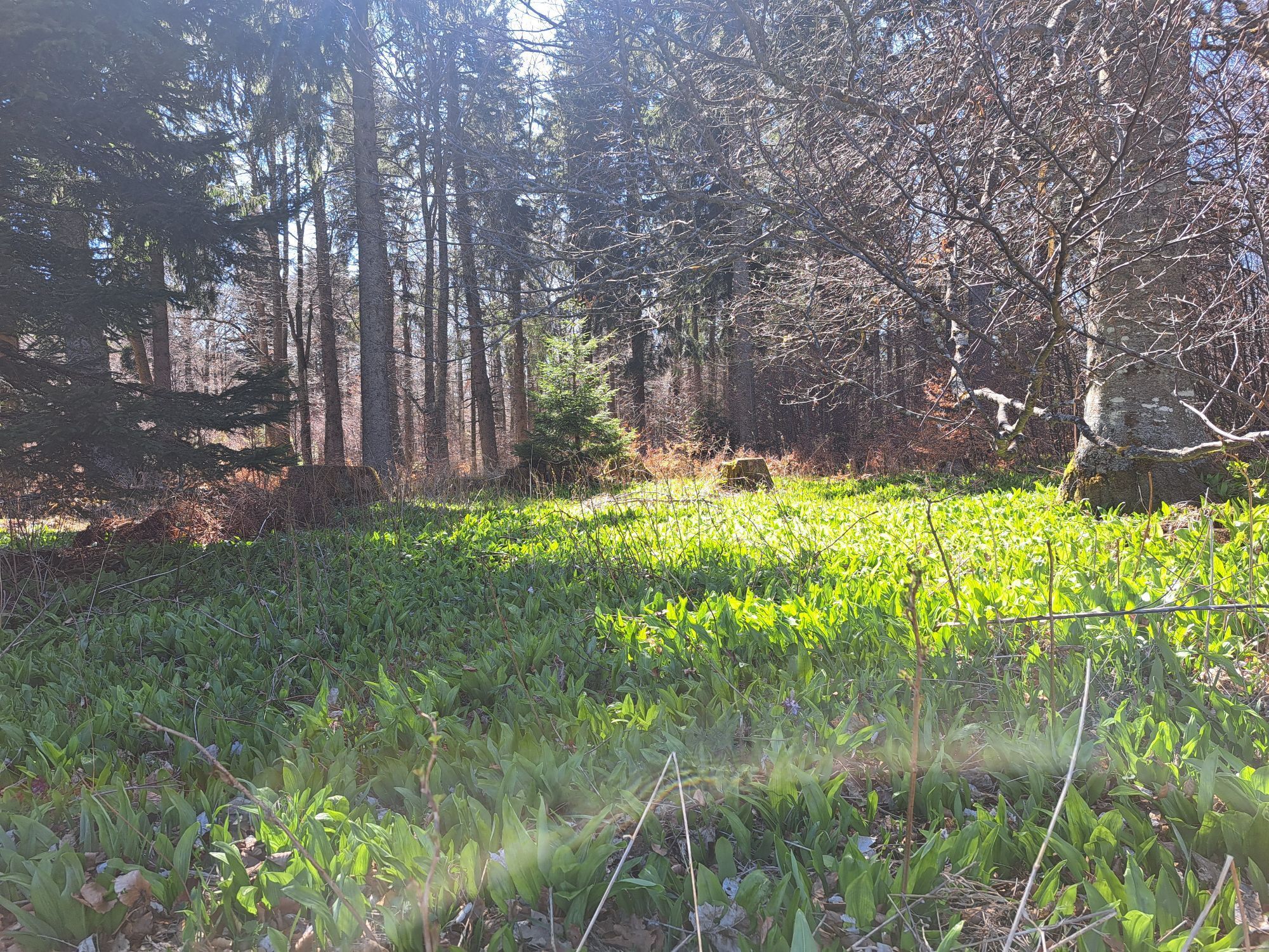
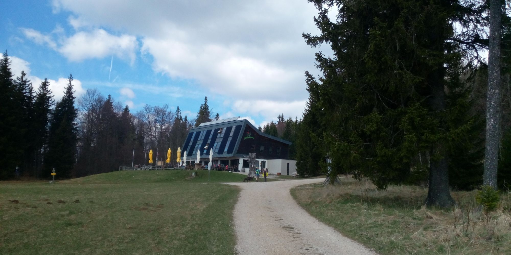
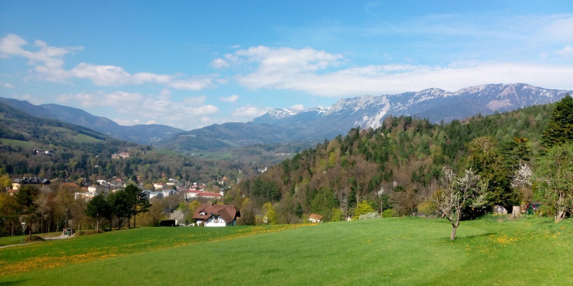
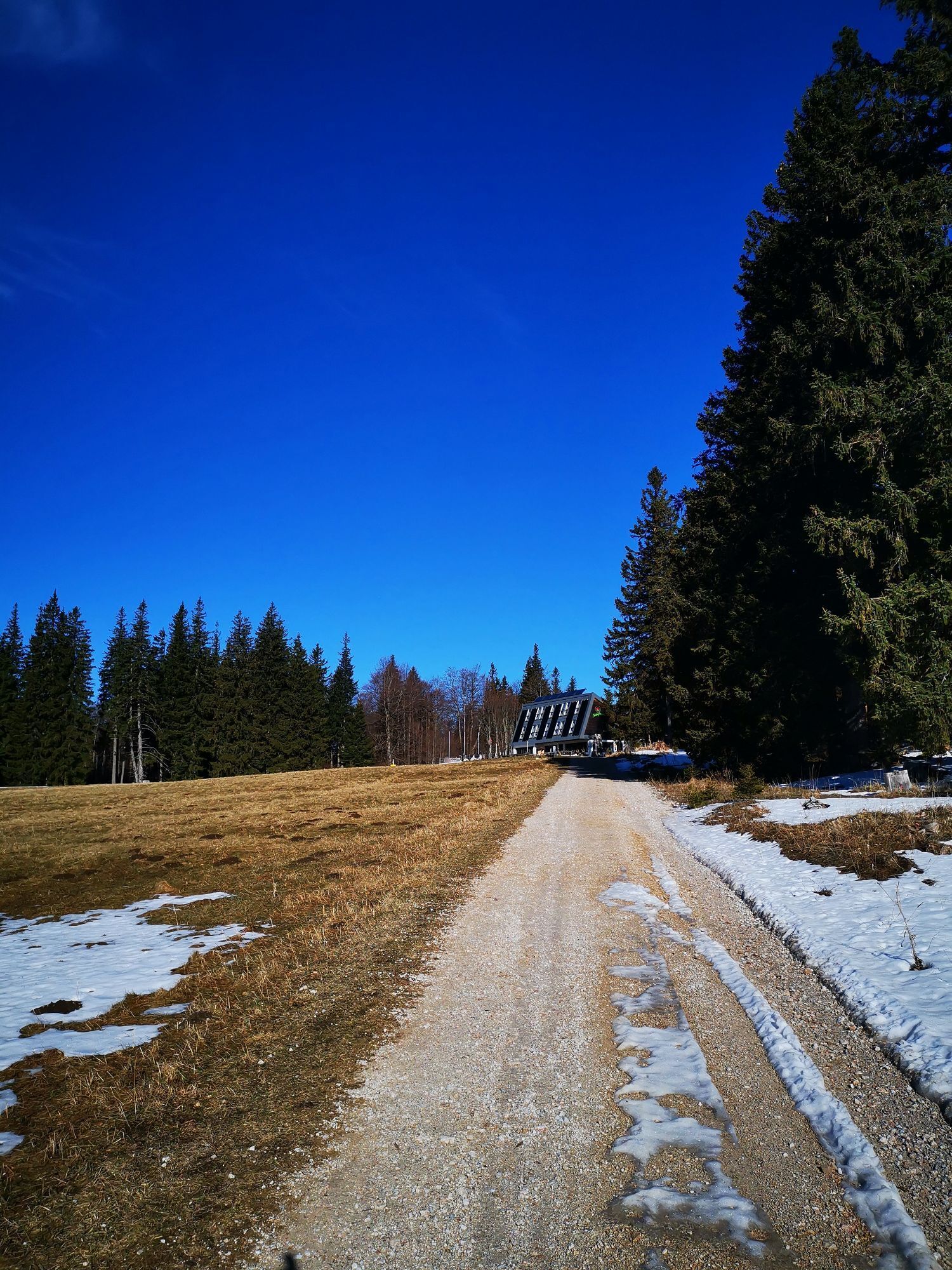
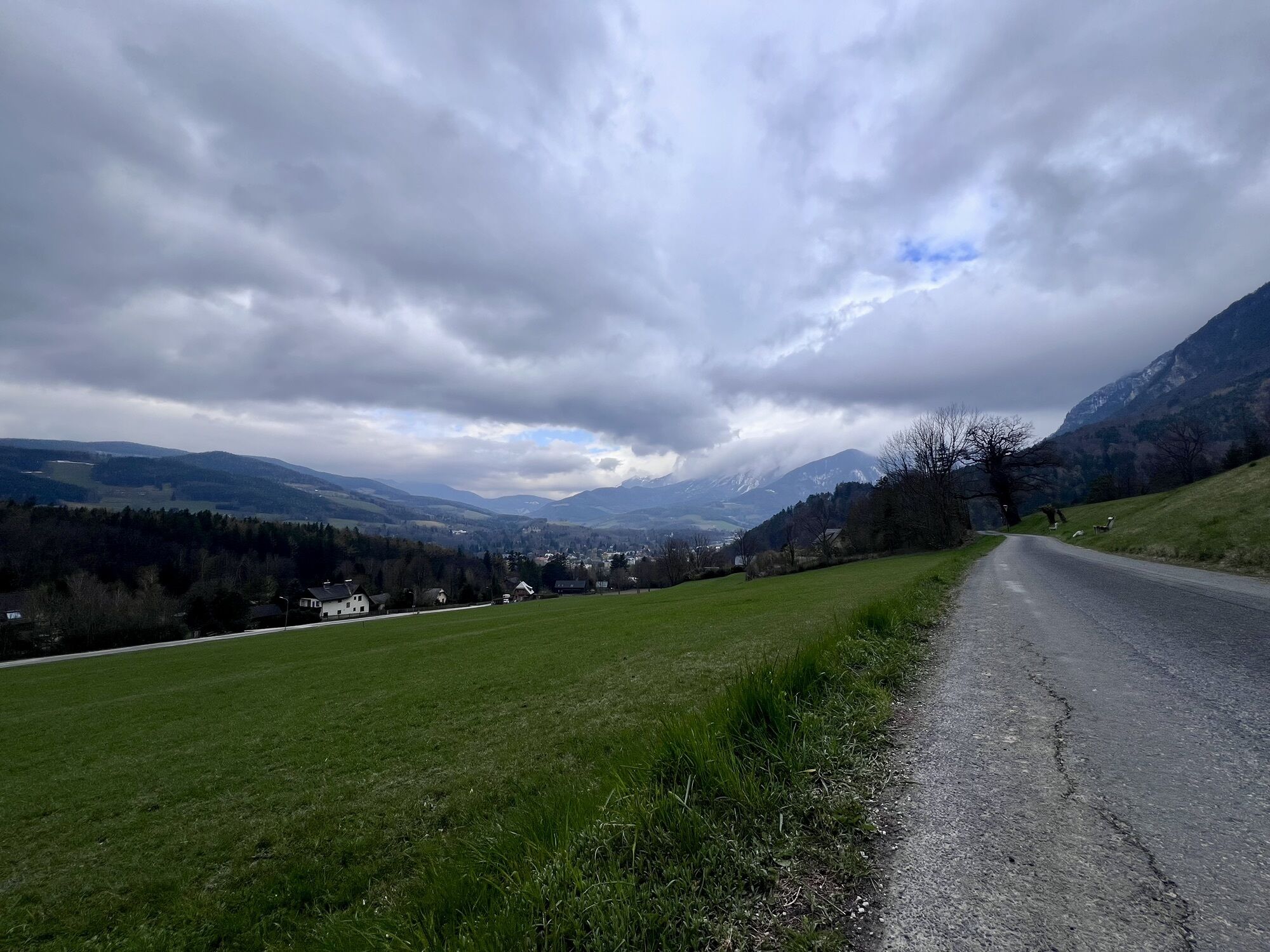
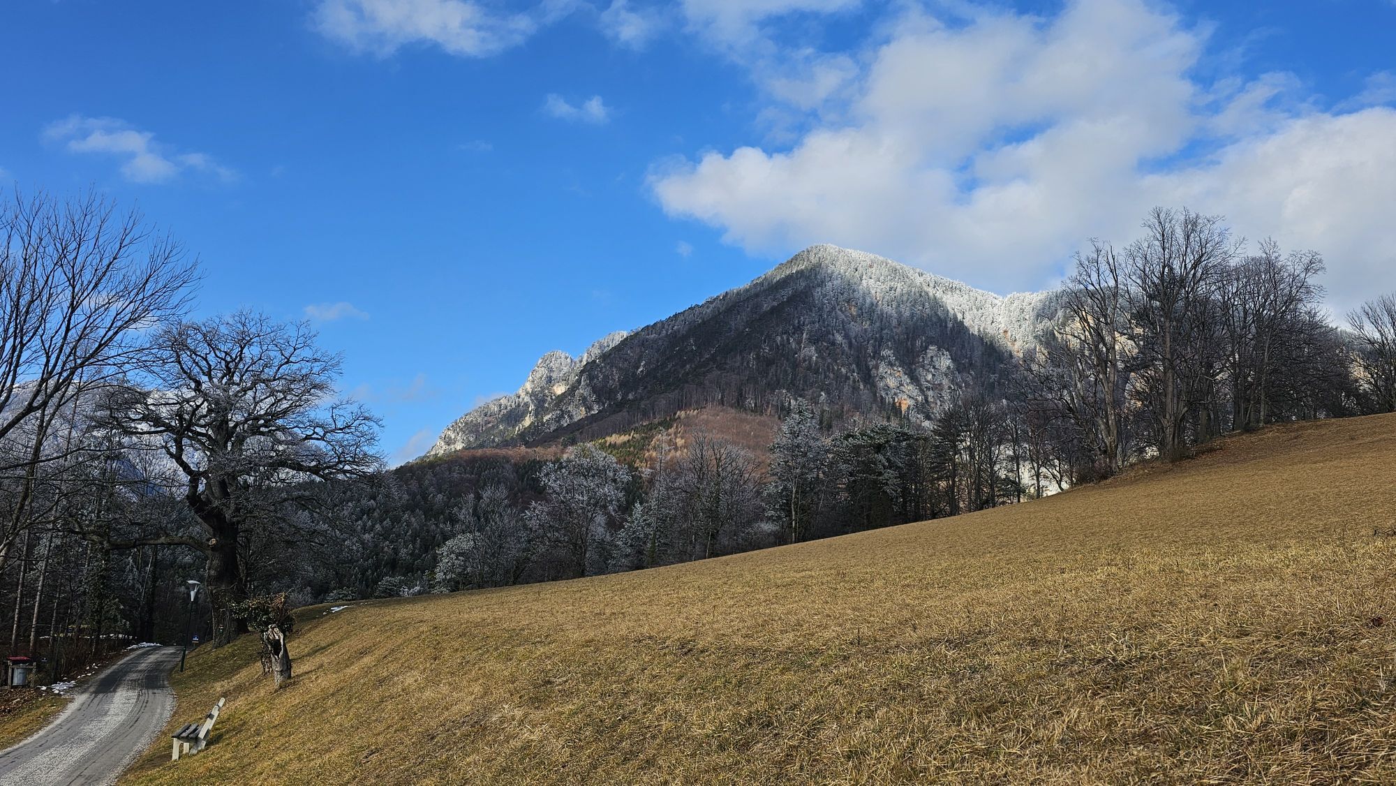
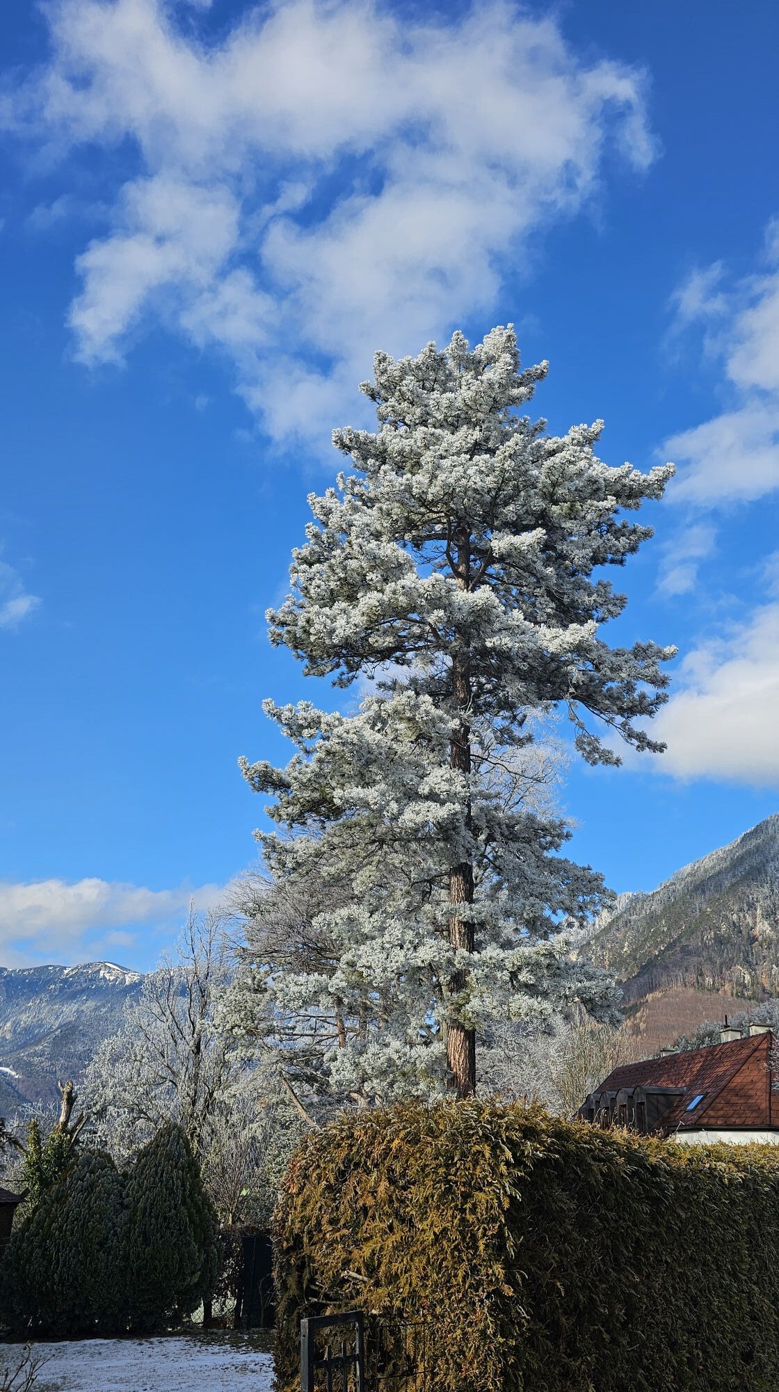
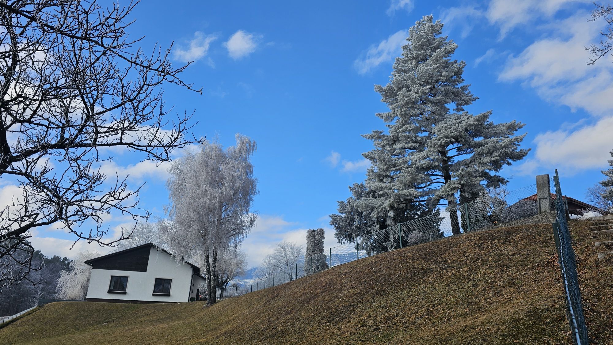
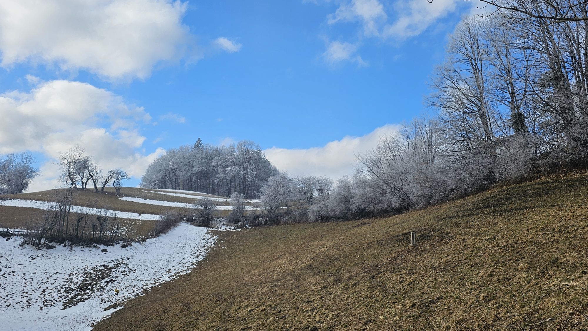
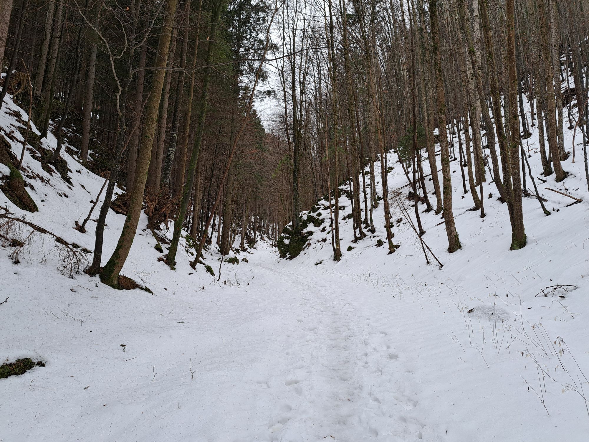
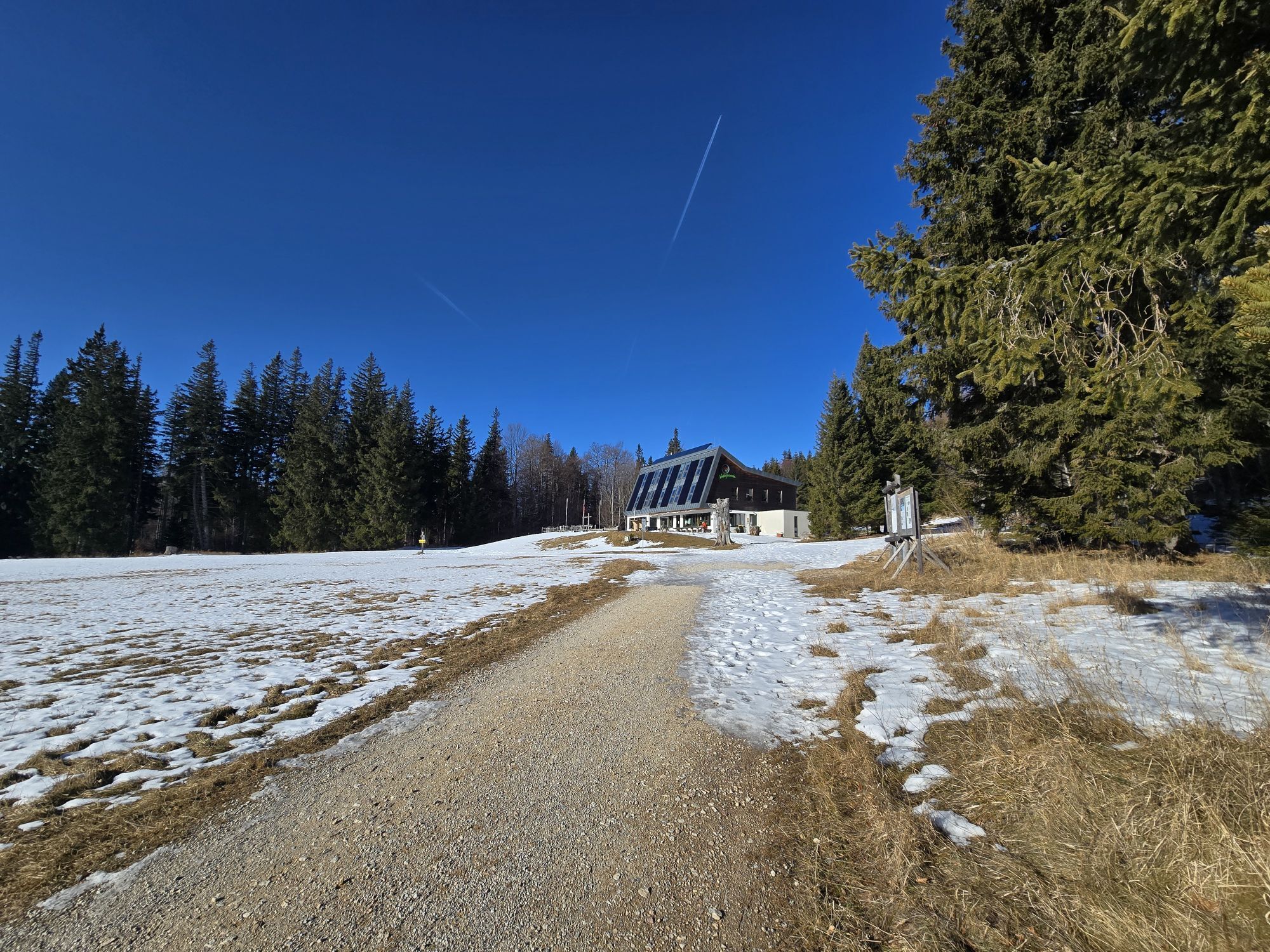
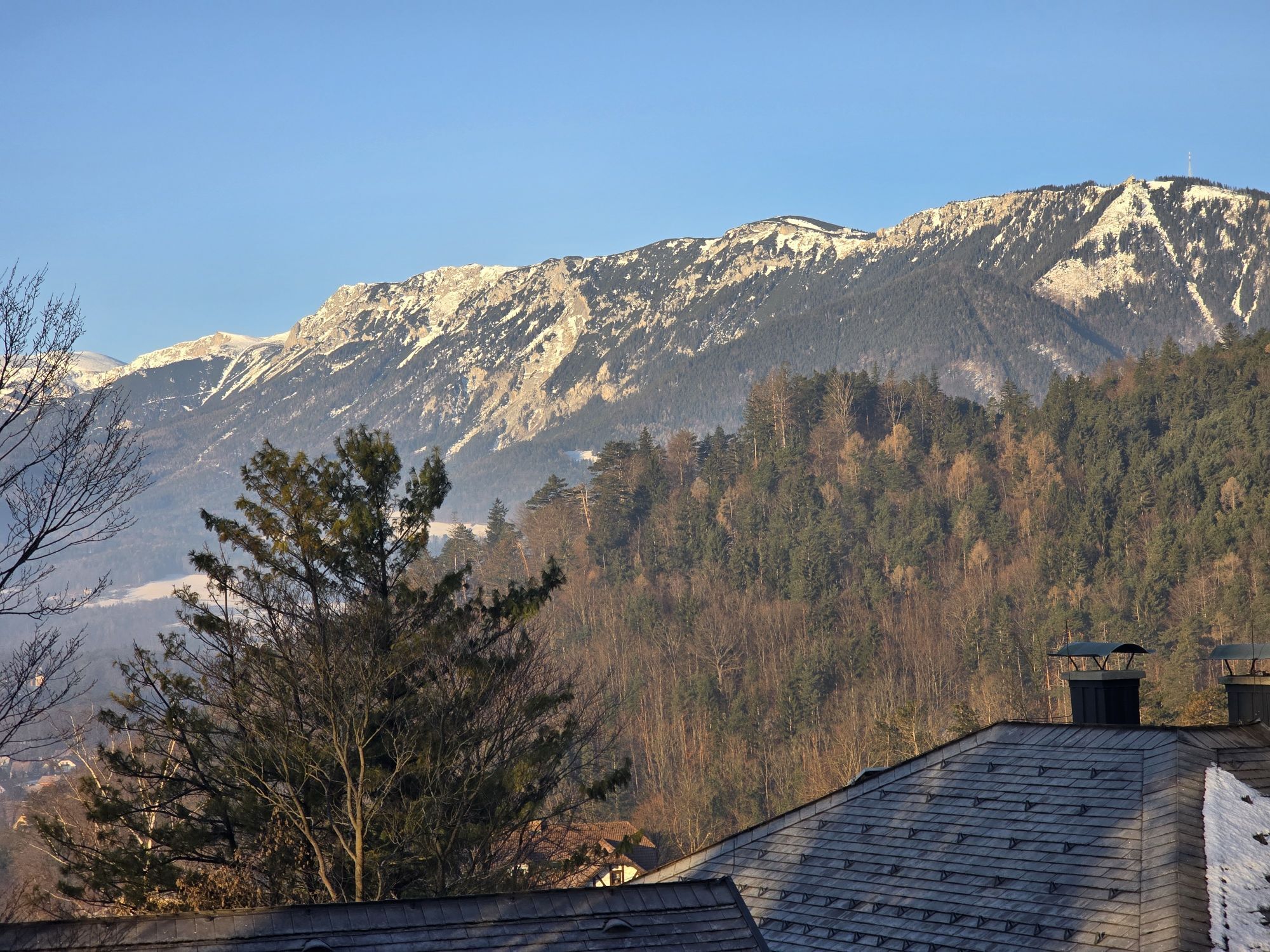
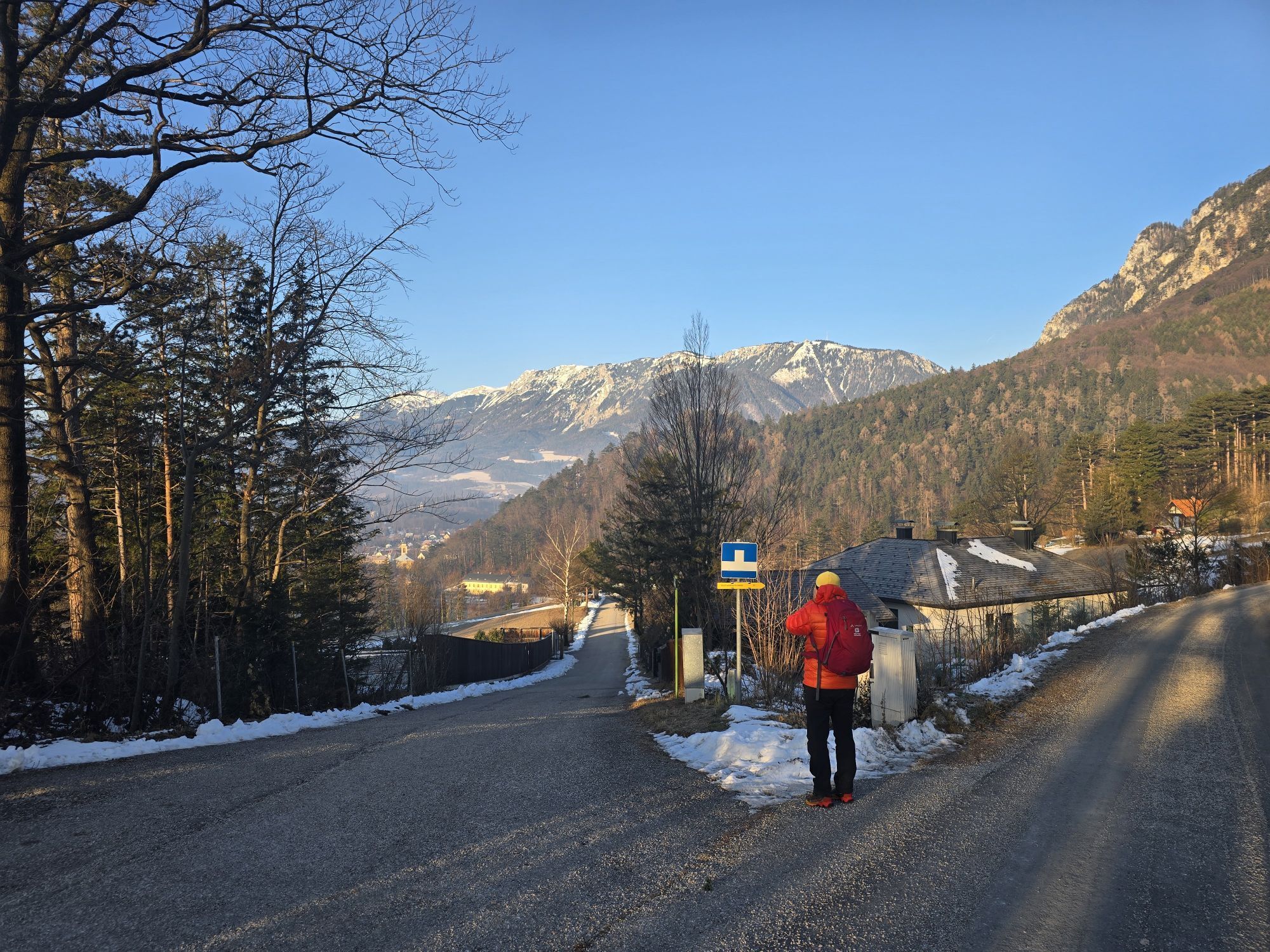
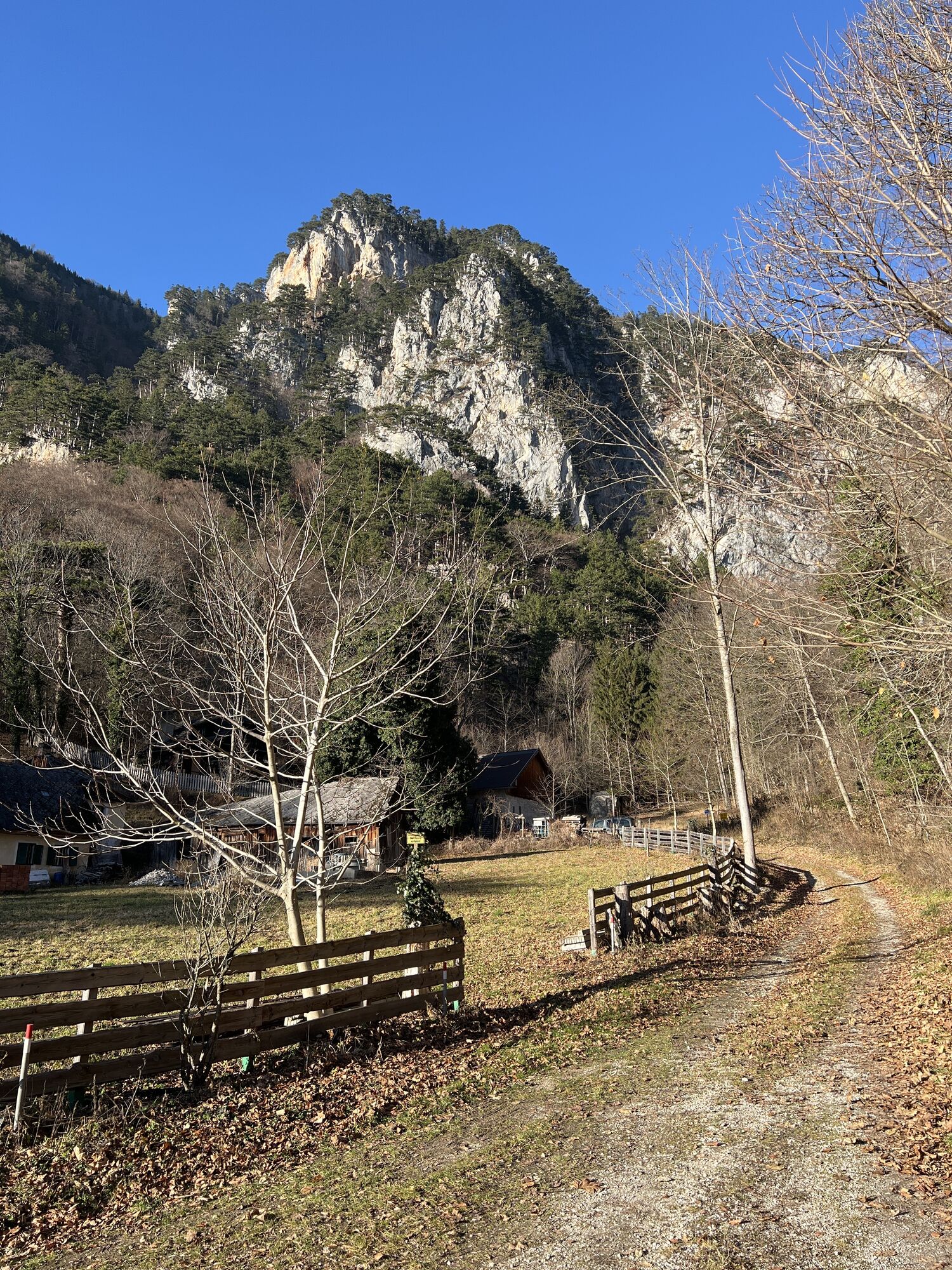
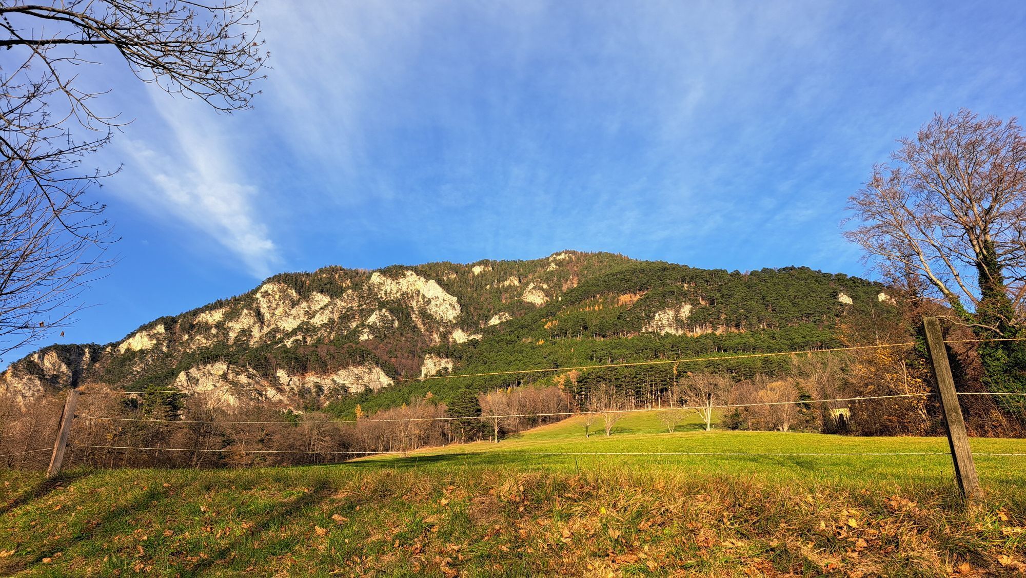
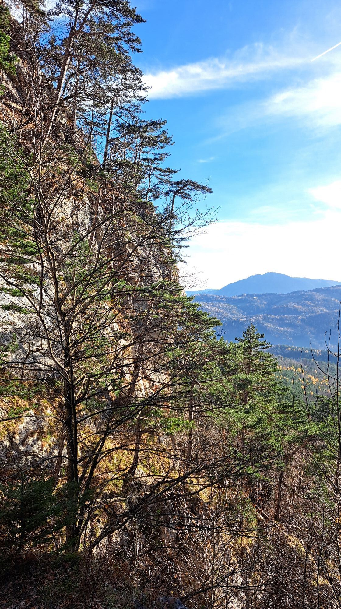
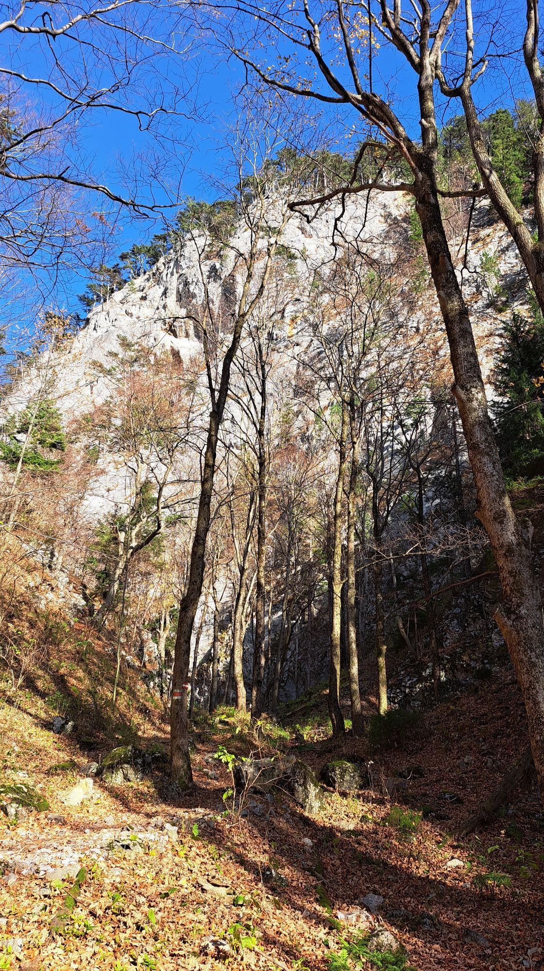
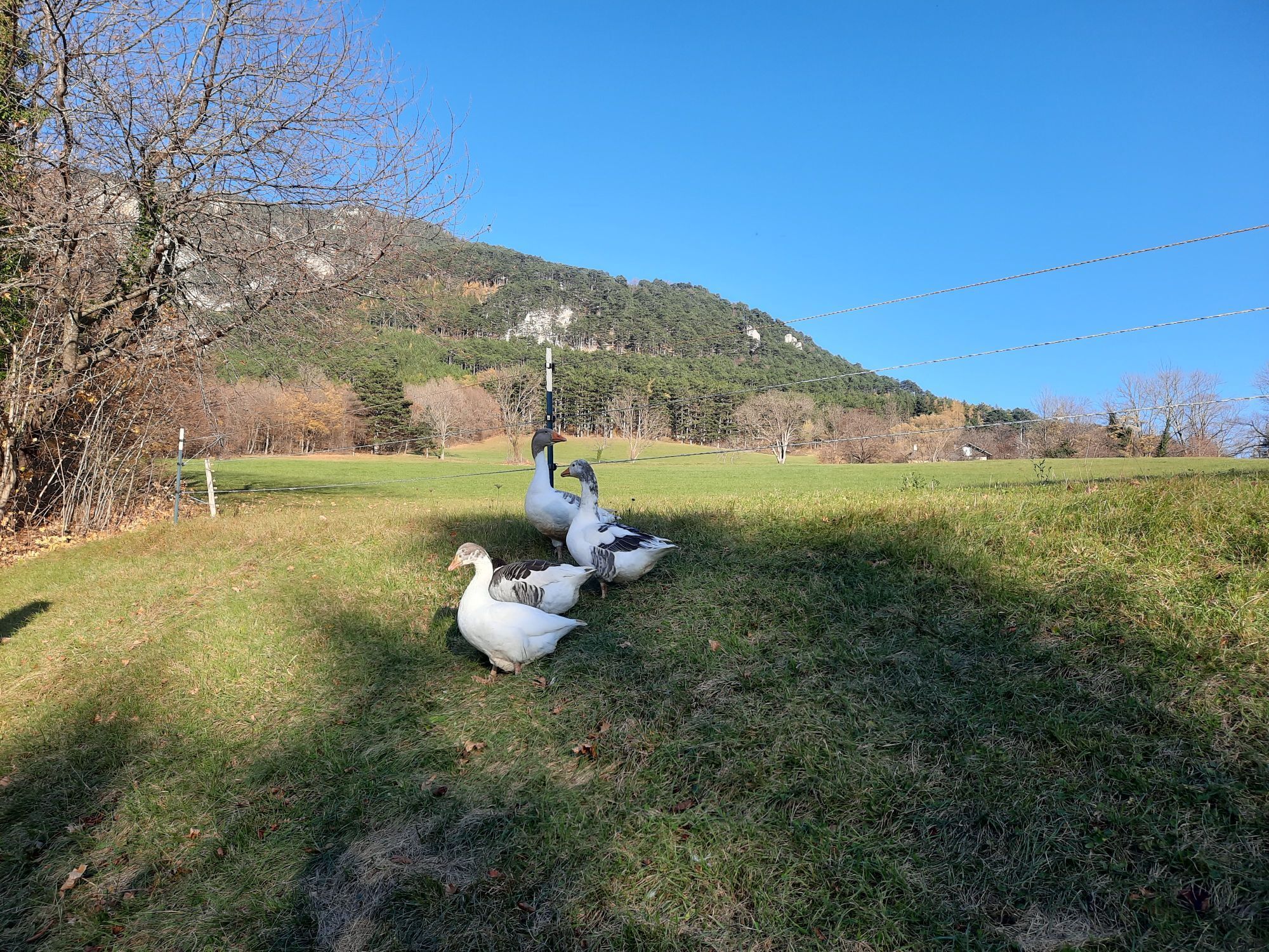


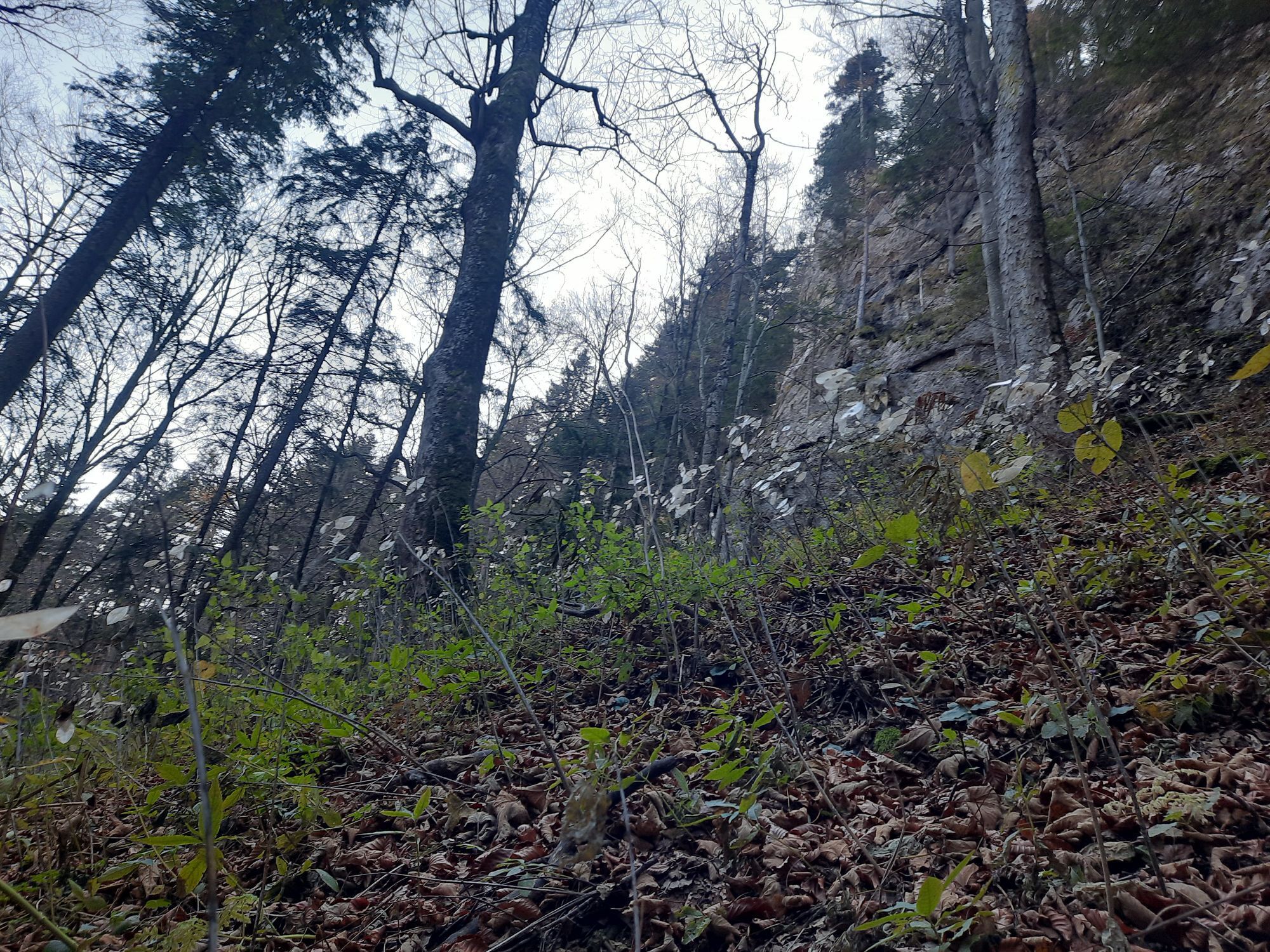
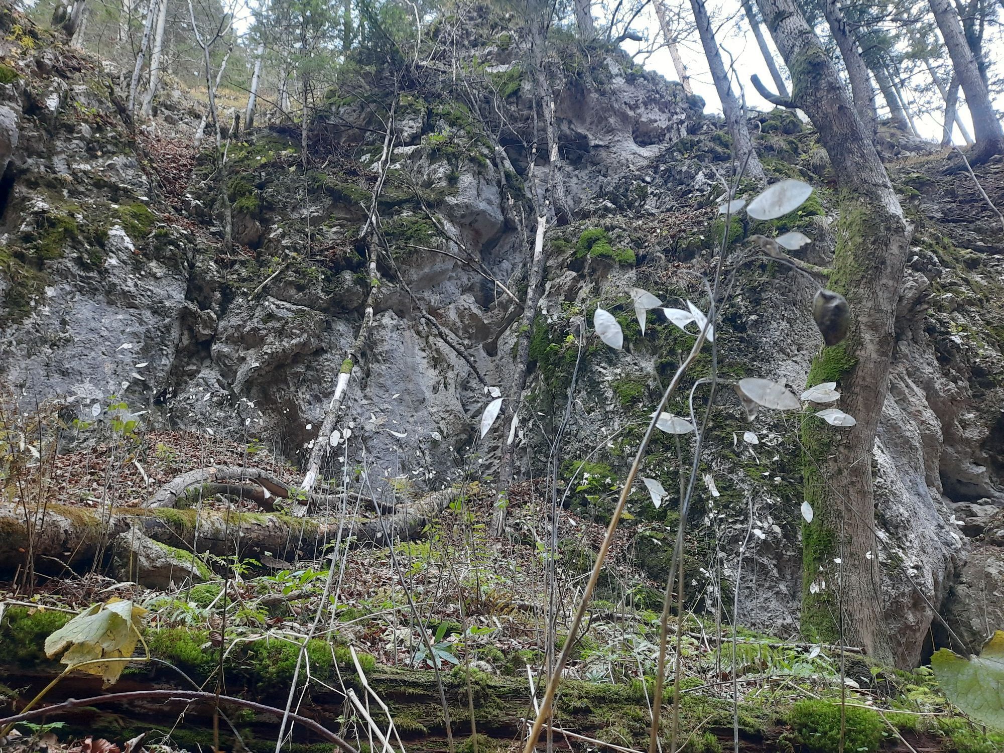
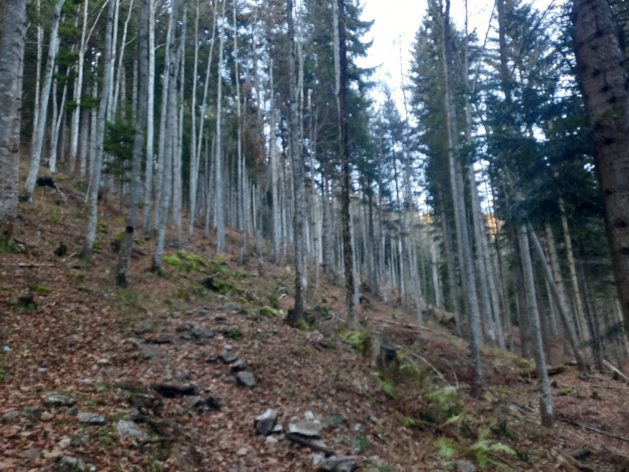

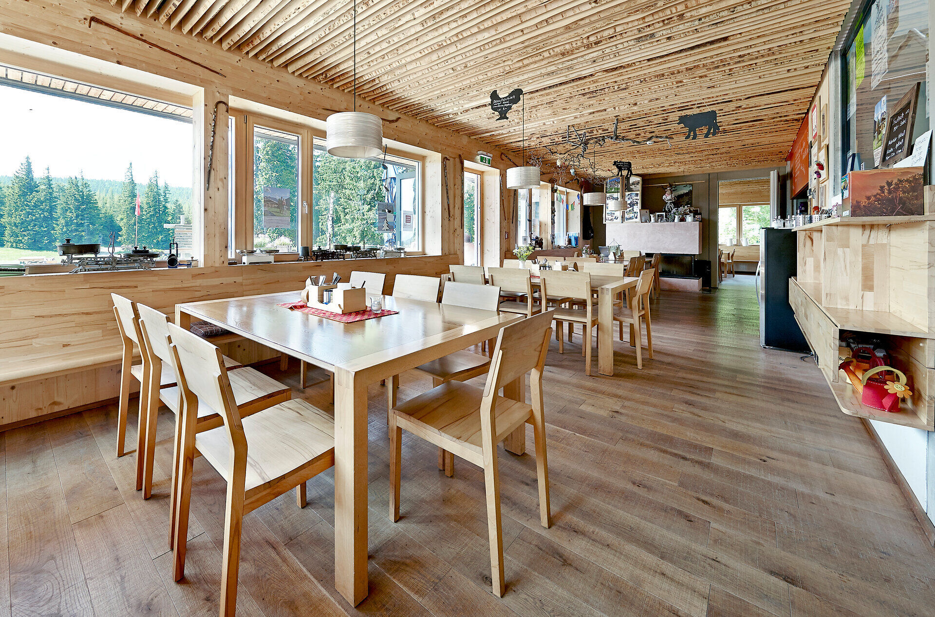
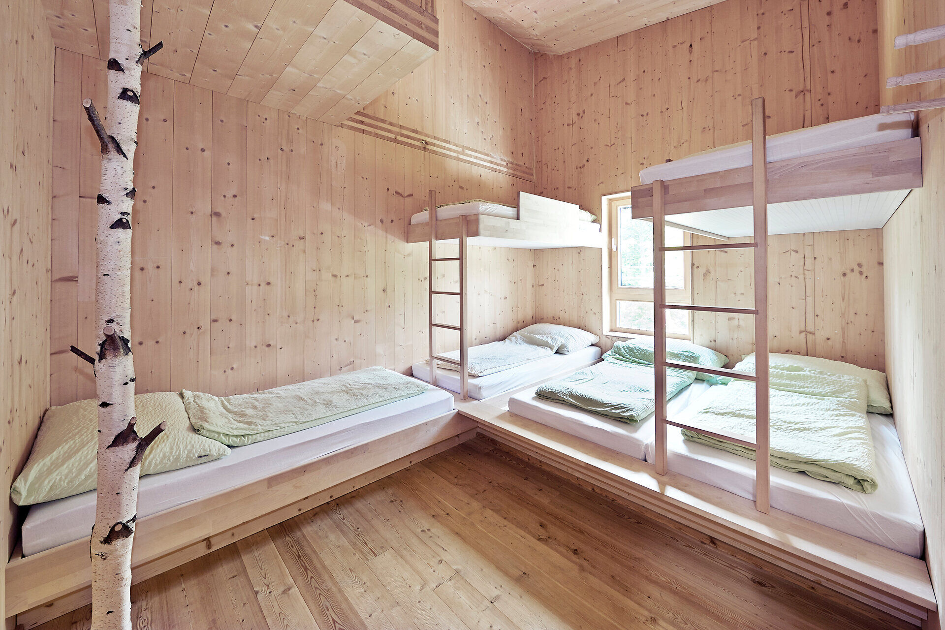
On this trail, we hike along a foothill of the Schneeberg to the Knofeleben Nature Friends Hut. It was awarded the Austrian Hiking Seal of Quality in 2014—and rightly so! In addition to its modern architecture,...
On this trail, we hike along a foothill of the Schneeberg to the Knofeleben Nature Friends Hut. It was awarded the Austrian Hiking Seal of Quality in 2014—and rightly so! In addition to its modern architecture, the hut also offers some culinary delights.
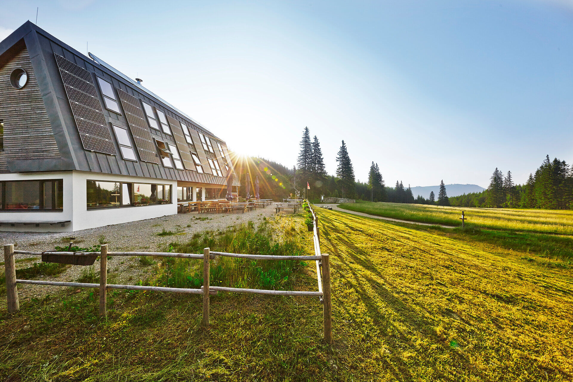
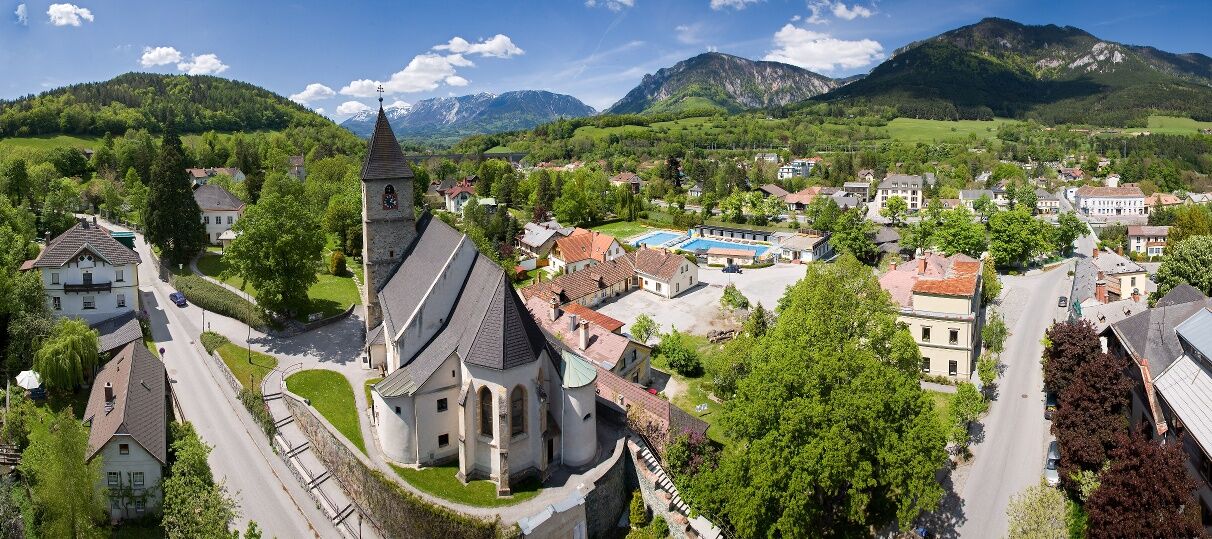

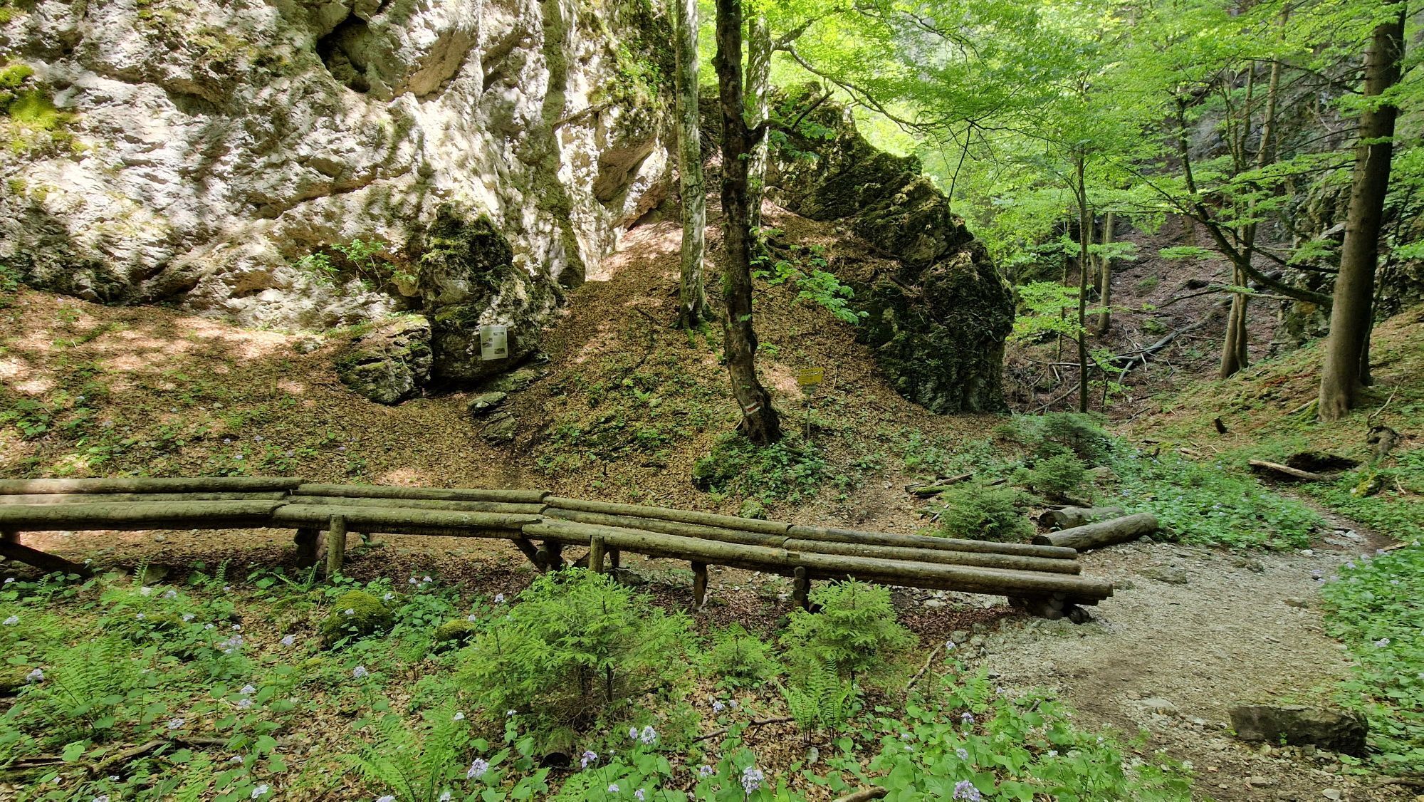
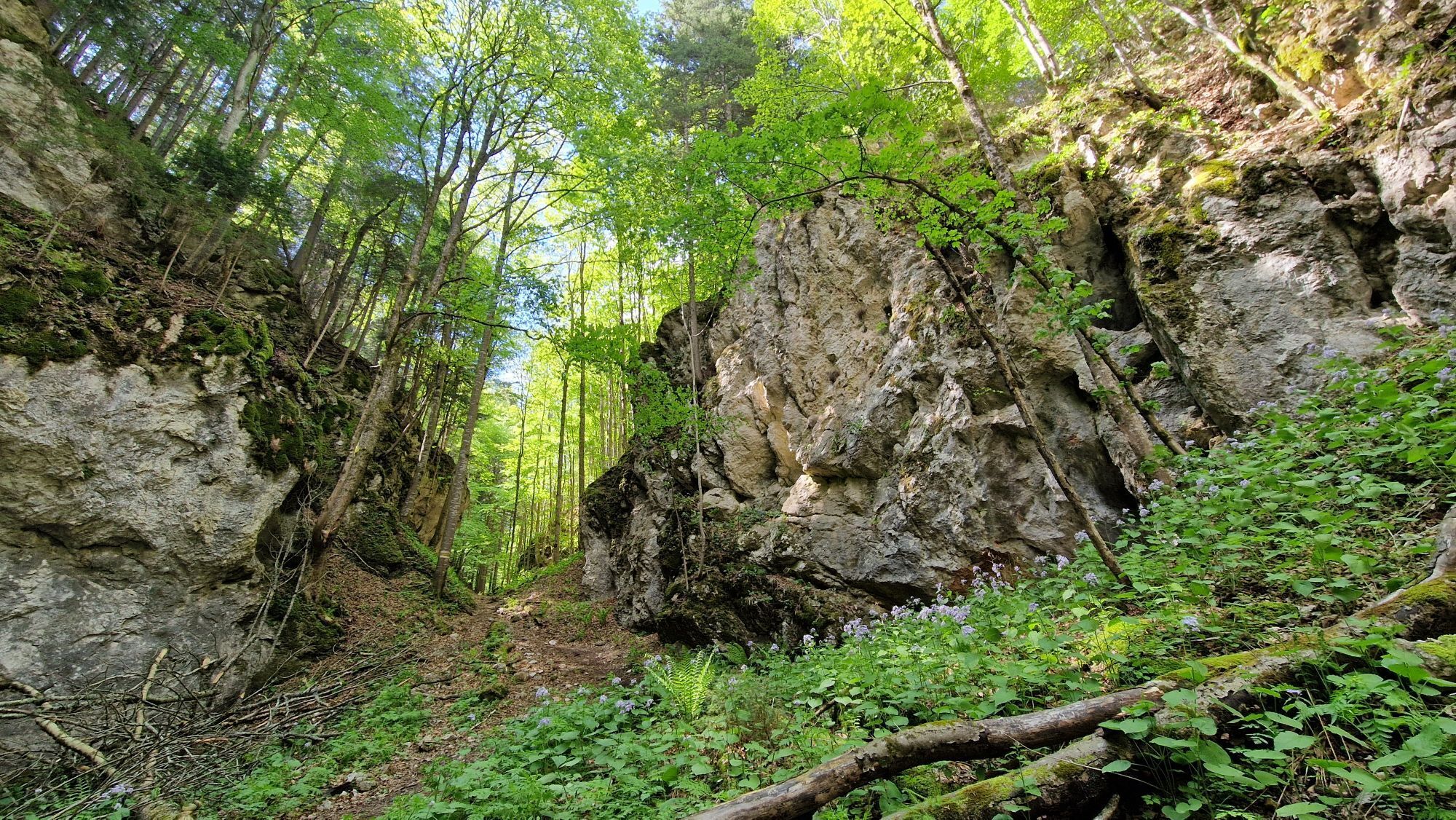
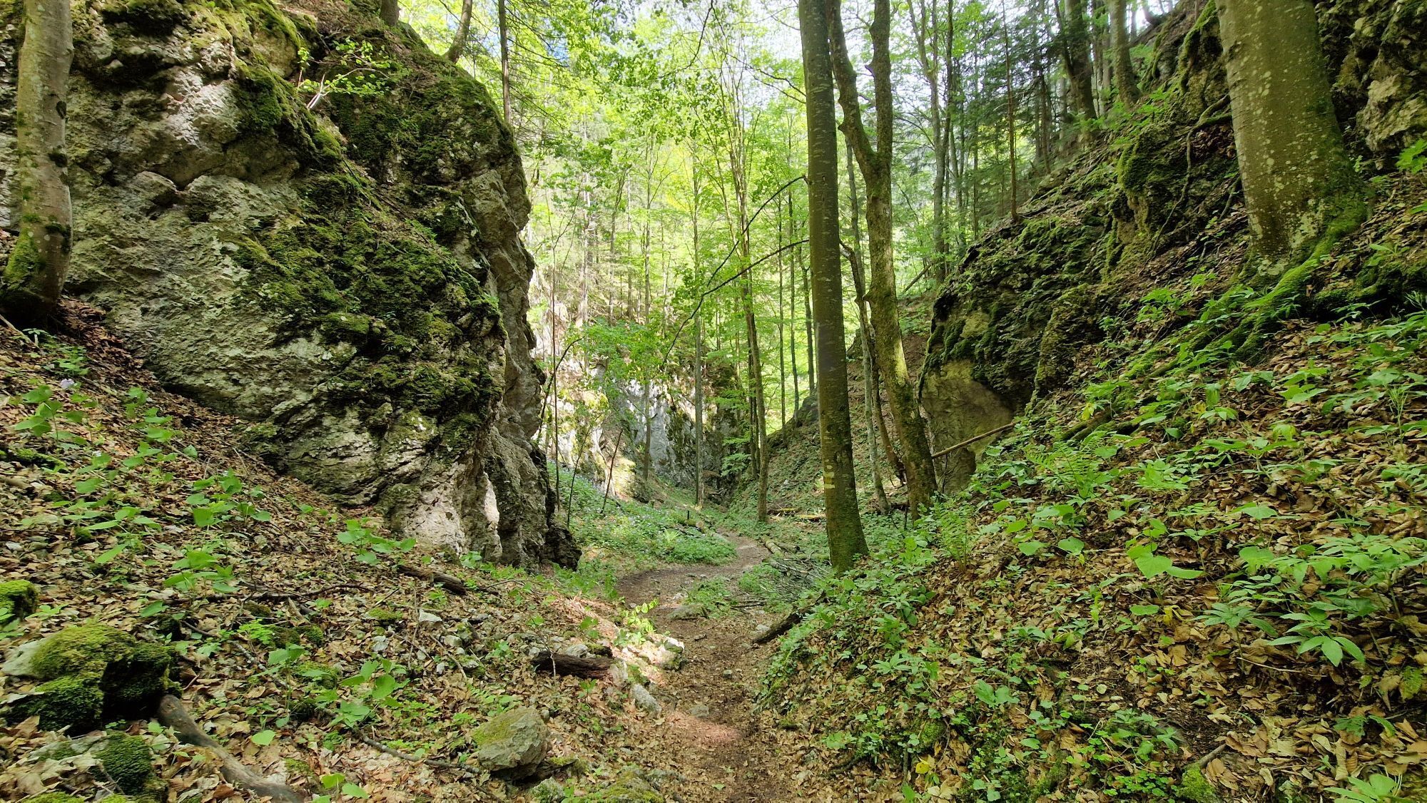
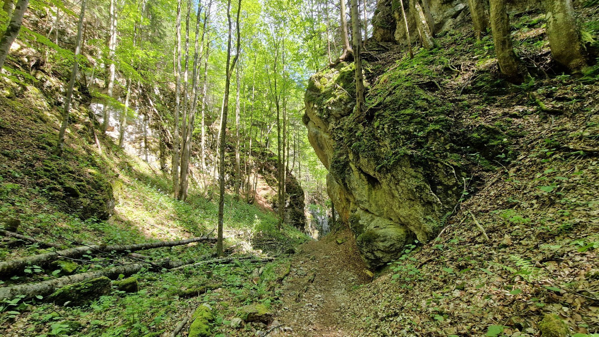
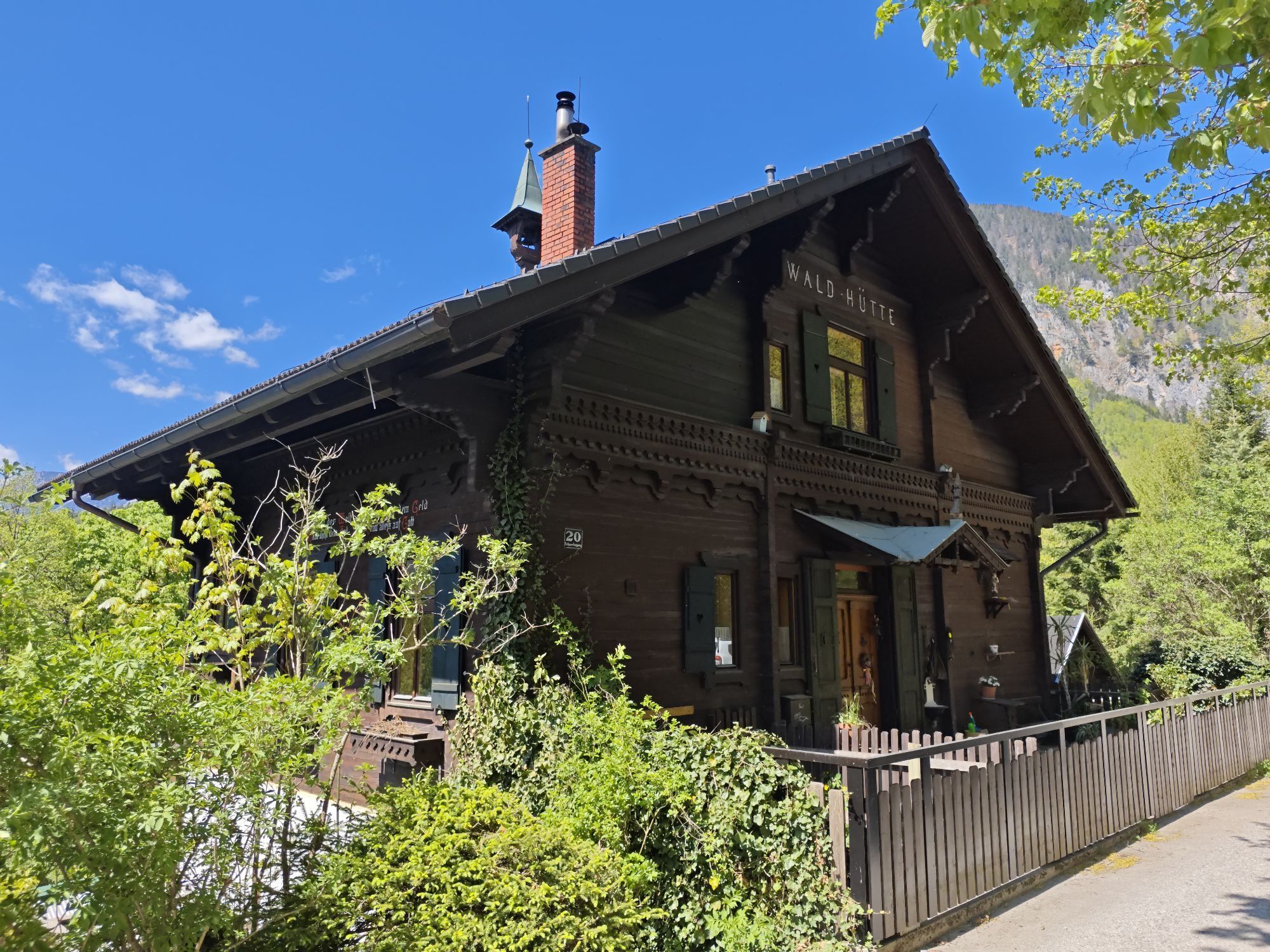
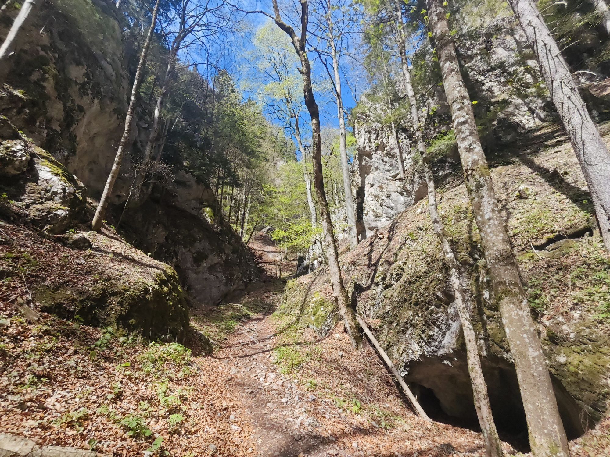
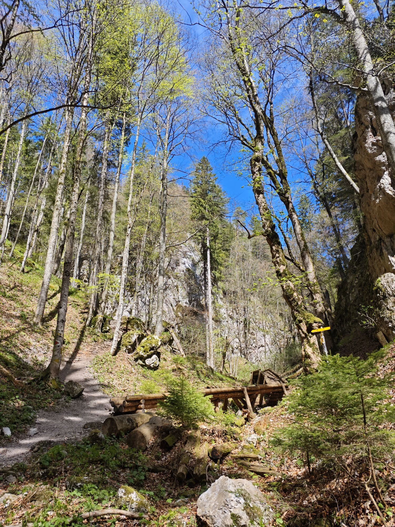
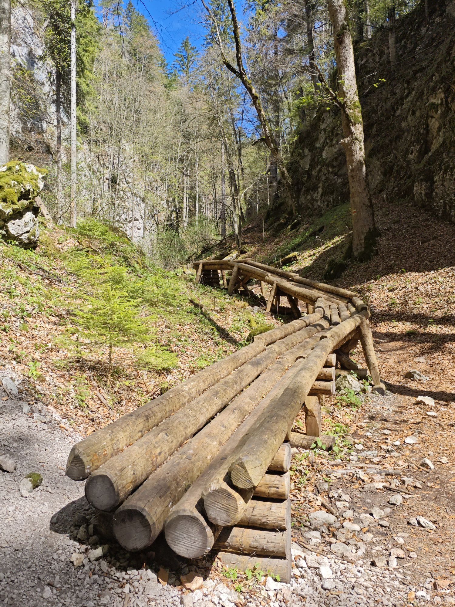
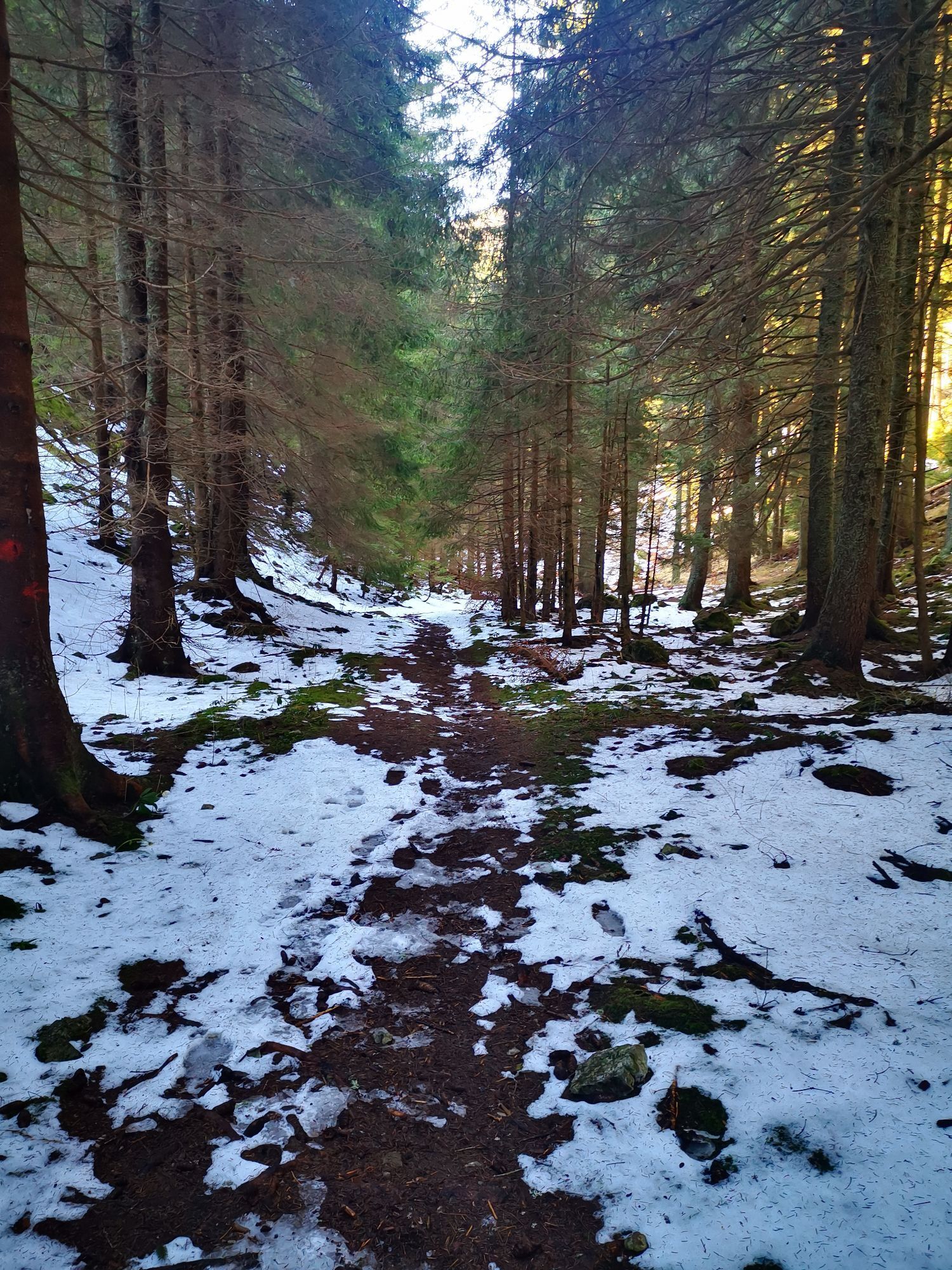
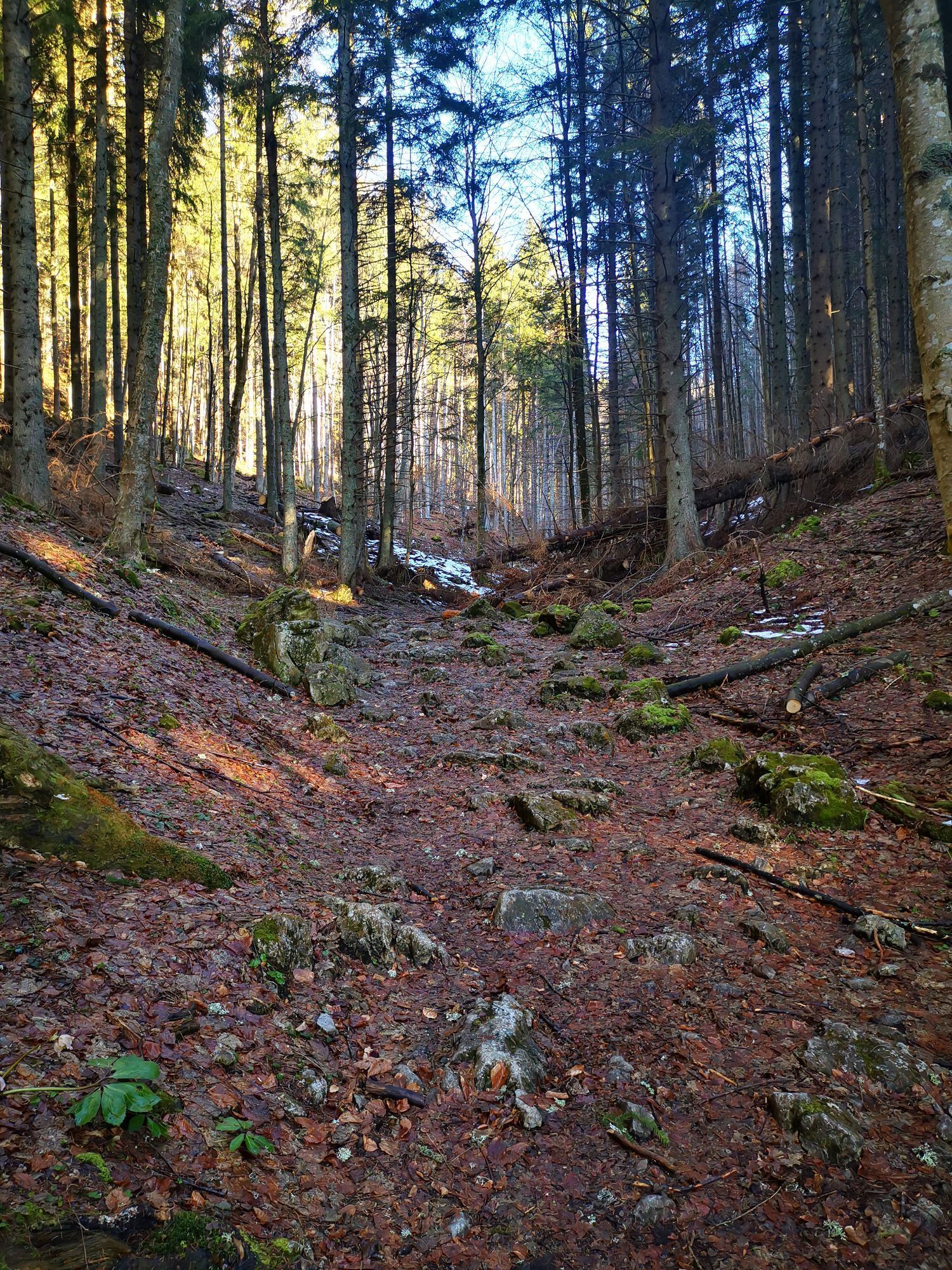
We start at the Payerbach-Reichenau train station and walk under the Südbahn (from Platform 1 to Platform 2). We turn left just past the signalman’s booth and cross the street. We come to a hiking trail with steps that leads to Schneedörfl. From here, we walk about 600 meters along Scheebergweg, past the City of Vienna’s forest ranger station, then briefly along a forest road. Here, we turn right and follow this path to the Mariensteig (secured section). We follow this path to a fork, where the City of Vienna has installed a replica of the “Holzriese” through the narrow pass. We keep to the left and follow the yellow trail markers to the forest road, then continue left along the red trail markers. From here, you can already see the Knofeleben Nature Friends House.
Always bring appropriate hiking maps. Wear sturdy shoes suitable for the hike, and bring sun and rain protection, as well as water and a light snack. Bring your cell phone and save the mountain rescue emergency number: 140
Your hikes in the Vienna Alps should be a thoroughly beautiful and safe experience. Please therefore observe the following:
Preparation
Make sure when choosing the route that it matches your experience and your fitness. Inform yourself in advance about the weather report. Weather in the mountains can change surprisingly fast. Therefore always set out appropriately equipped (e.g., rain protection).
Check whether the huts and snack stations you intend to visit are open. Inform someone about your chosen route and your planned return before you set off.
From Vienna, drive via the A2 South Motorway to the S6 Semmering Expressway and take the Gloggnitz exit. Follow B27 to Payerbach.
From Graz, drive via the S35 or A2 to the S6 Semmering Expressway and take the Gloggnitz exit. Follow B27 to Payerbach.
Arrive by train at Payerbach-Reichenau stop. The route starts directly at the station.
RUFbus stops along the way:
35 Payerbach station
27 Hiking entry Knofeleben/Schneedörfl
28 Waldschlössl-Schneedörfl
Parking available at the station.
Vienna Alps in Lower Austria, www.wieneralpen.at, +43 / 2622 / 78960
Kamery internetowe z trasy

Aktywności na trasie
-

Reichenau an der Rax, Niederösterreich/Österreich
26.09.2026 – Wędrówka -

Reichenau an der Rax, Niederösterreich/Österreich
19.09.2026 – Wędrówka -
Reichenau an der Rax, Lower Austria/Austria
04.09.2026 – Wędrówka -

Payerbach, Niederösterreich/Österreich
27.08.2026 – Wędrówka -

Bürg-Vöstenhof, Niederösterreich/Österreich
16.08.2026 – Wędrówka -
Payerbach, Niederösterreich/Österreich
15.08.2026 – Wędrówka -

Reichenau an der Rax, Niederösterreich/Österreich
15.08.2026 – Wędrówka -

Reichenau an der Rax, Niederösterreich/Österreich
14.08.2026 – Wędrówka -

Reichenau an der Rax, Niederösterreich/Österreich
12.08.2026 – Wędrówka -

Payerbach, Niederösterreich/Österreich
16.05.2026 – Wędrówka -

Payerbach, Lower Austria/Austria
03.05.2026 – Wędrówka -

Reichenau an der Rax, Niederösterreich/Österreich
03.05.2026 – Wędrówka -

Payerbach, Niederösterreich/Österreich
02.05.2026 – Wycieczki górskie -

Reichenau an der Rax, Niederösterreich/Österreich
19.04.2026 – Wędrówka -

Reichenau an der Rax, Niederösterreich/Österreich
07.03.2026 – Wędrówka -

Reichenau an der Rax, Niederösterreich/Österreich
13.02.2026 – Wędrówka -
Reichenau an der Rax, Niederösterreich/Österreich
10.02.2026 – Wędrówka
Popularne wycieczki w okolicy
-
4,6
Losenheim: Edelweißhütte - Fadensteig - Fischerhütte
średniWędrówka 11,5 km -
4,6
Zahnradbahn und Wandern am Schneeberg - Plateauwanderung
średniWędrówka 6,90 km -
4,7
Rax - Heukuppe
Wędrówka 15,6 km -
4,9
Insider tip: Schneeberg via the Novembergrat
ciężkiWędrówka 13,5 km -
4,9
"Weichtalklamm" über Stock und Stein durch das Höllental - Weichtalhaus - Kientallerhütte 1340m
średniWędrówka 14,0 km -
4,9
RAX Runde
światłoWędrówka 19,6 km -
4,9
Reißtalersteig und Gretchensteig
ciężkiWędrówka 8,10 km -
4,9
SCHNEEBERG Losenheim Nandlgrat Klosterwappen Fadenweg 28.09.2017
ciężkiWędrówka 15 km -
4,9
"Über den höchsten Nieder-Ösi" - Schneeberg - Weichtalklamm - Klosterwappen - Stadlwandleiten
średniWędrówka 17,7 km -
4,9
Flatzer Wand Wanderung
światłoWędrówka 5,62 km
Wędrówki i tropienie


Nie przegap ofert i inspiracji na następne wakacje
Twój adres e-mail została dodana do listy mailingowej.





