







Katzelsdorfer Gipfelweg (KA 1)

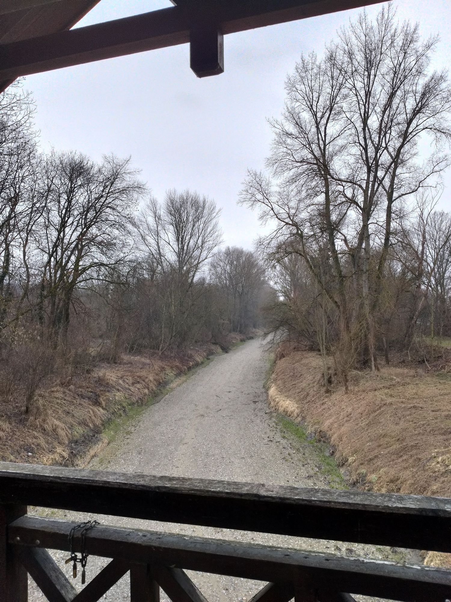
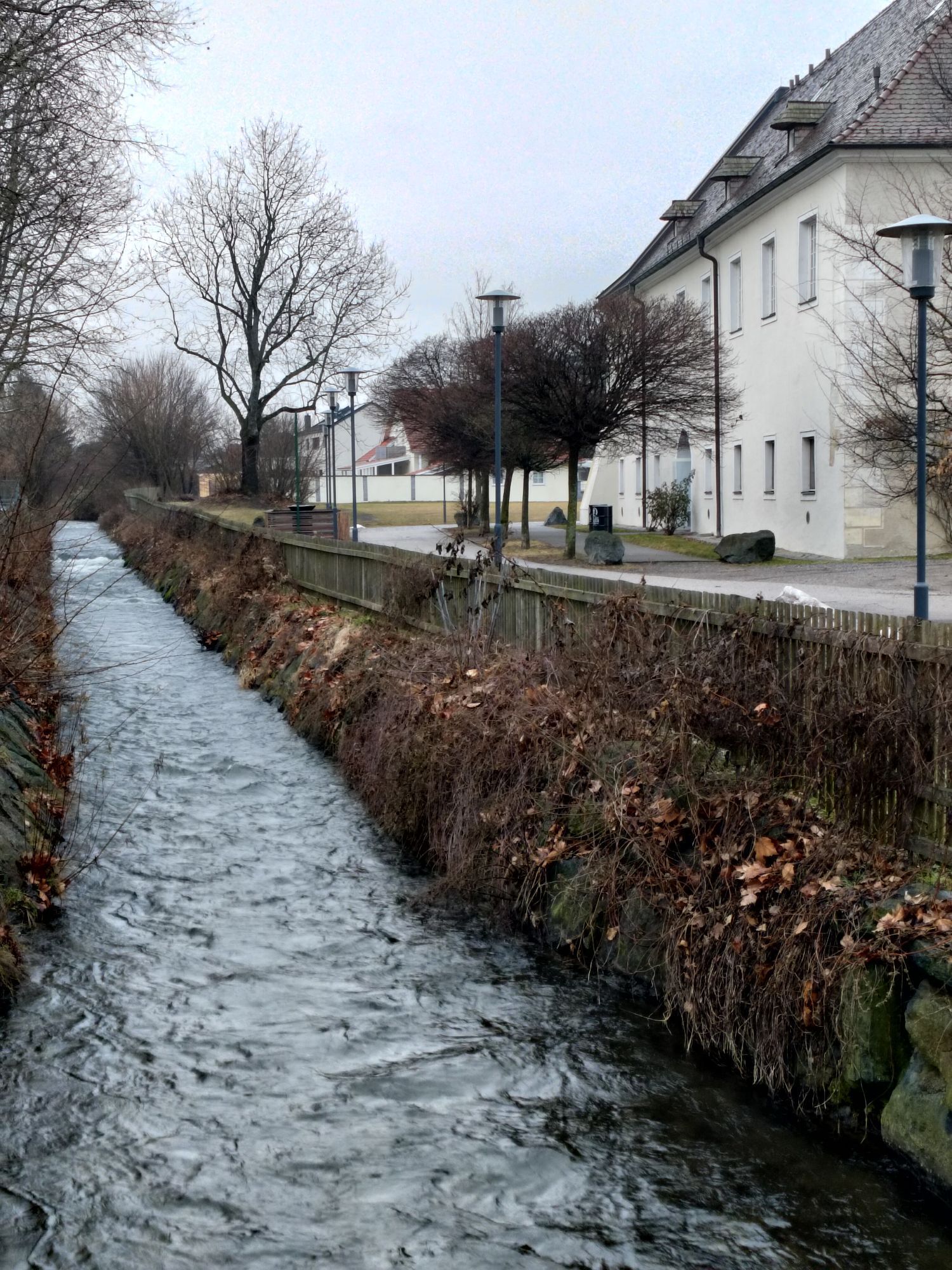
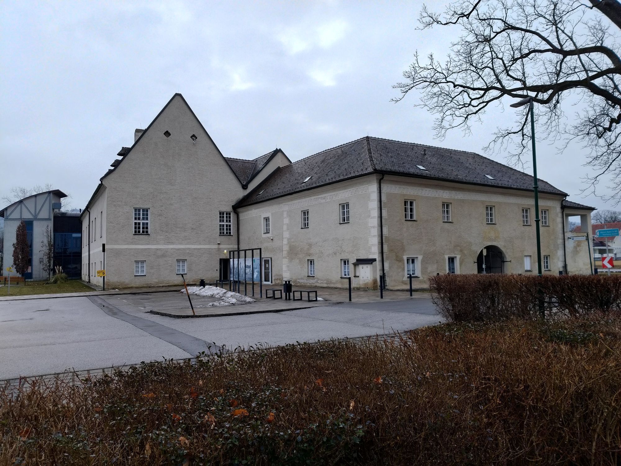
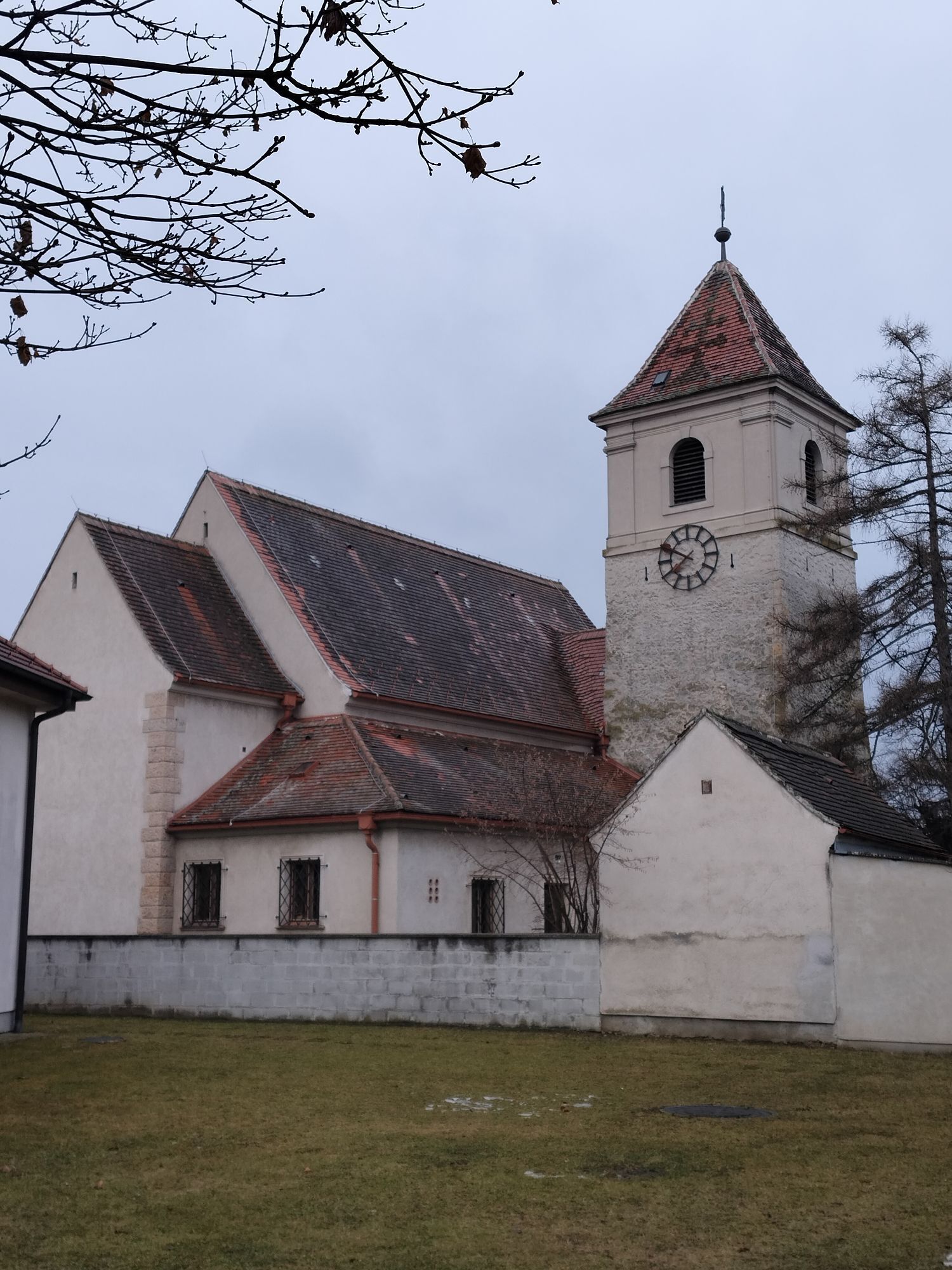
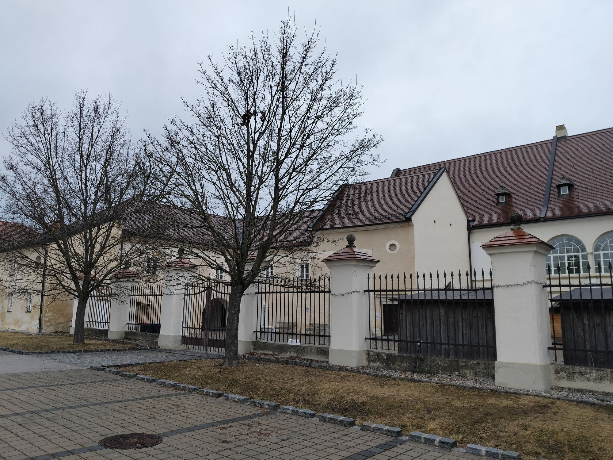
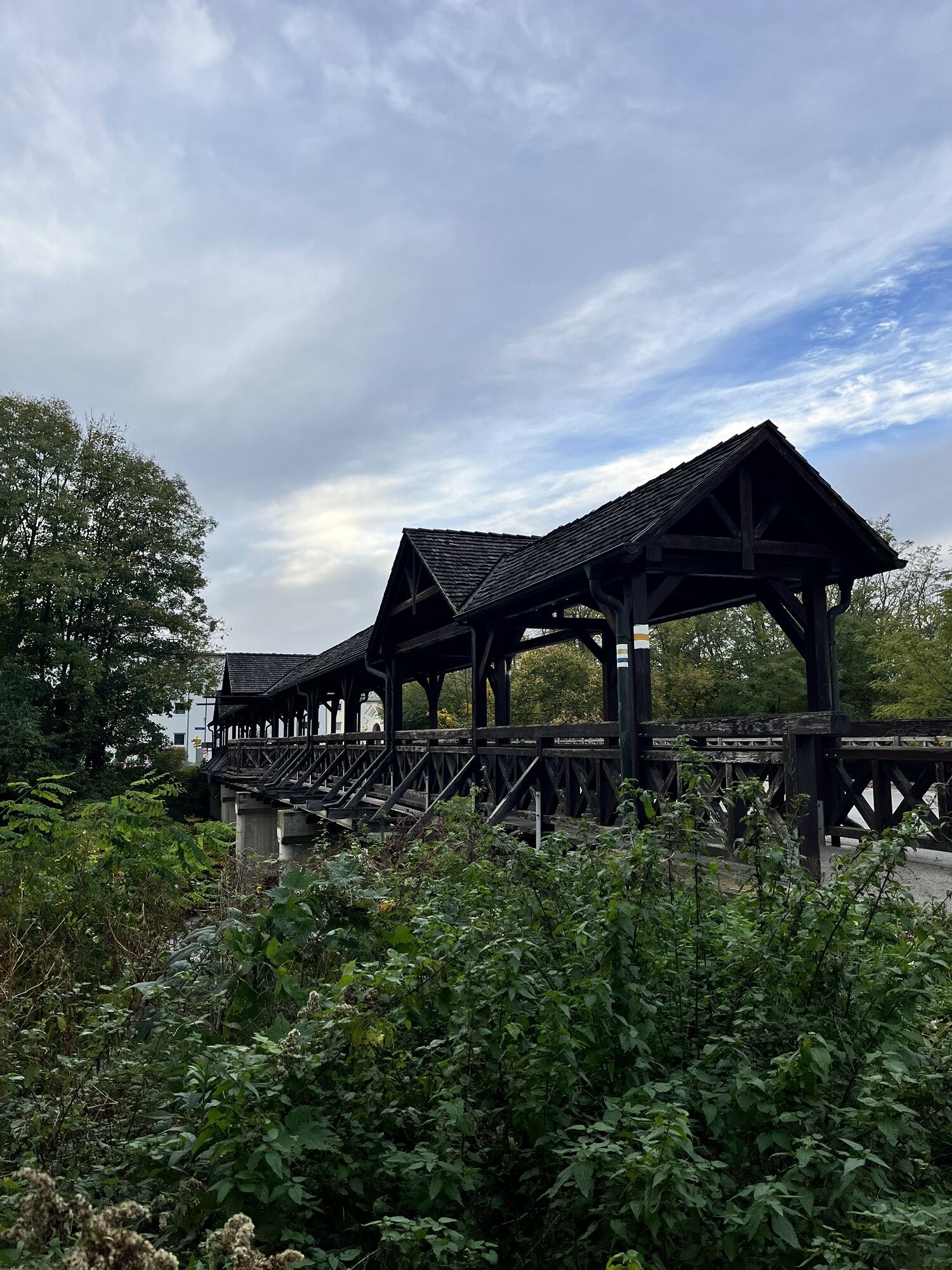
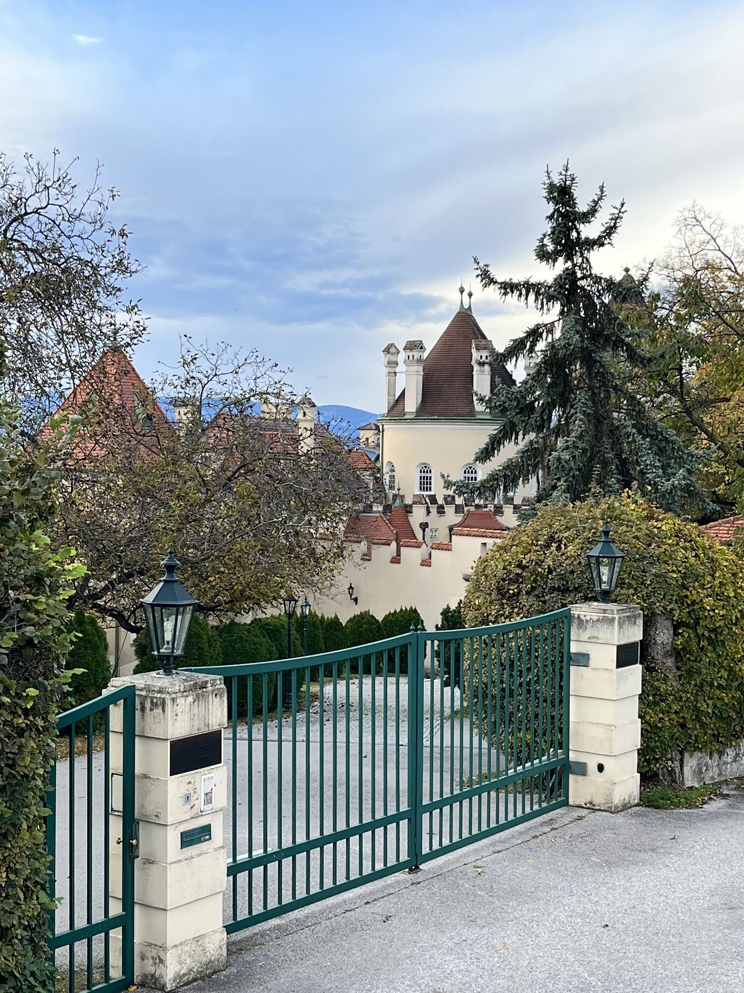
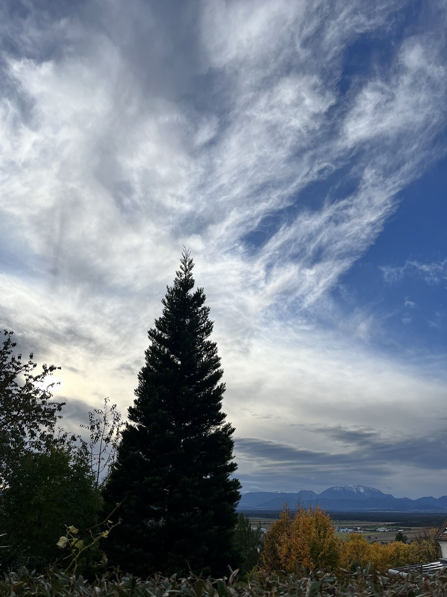

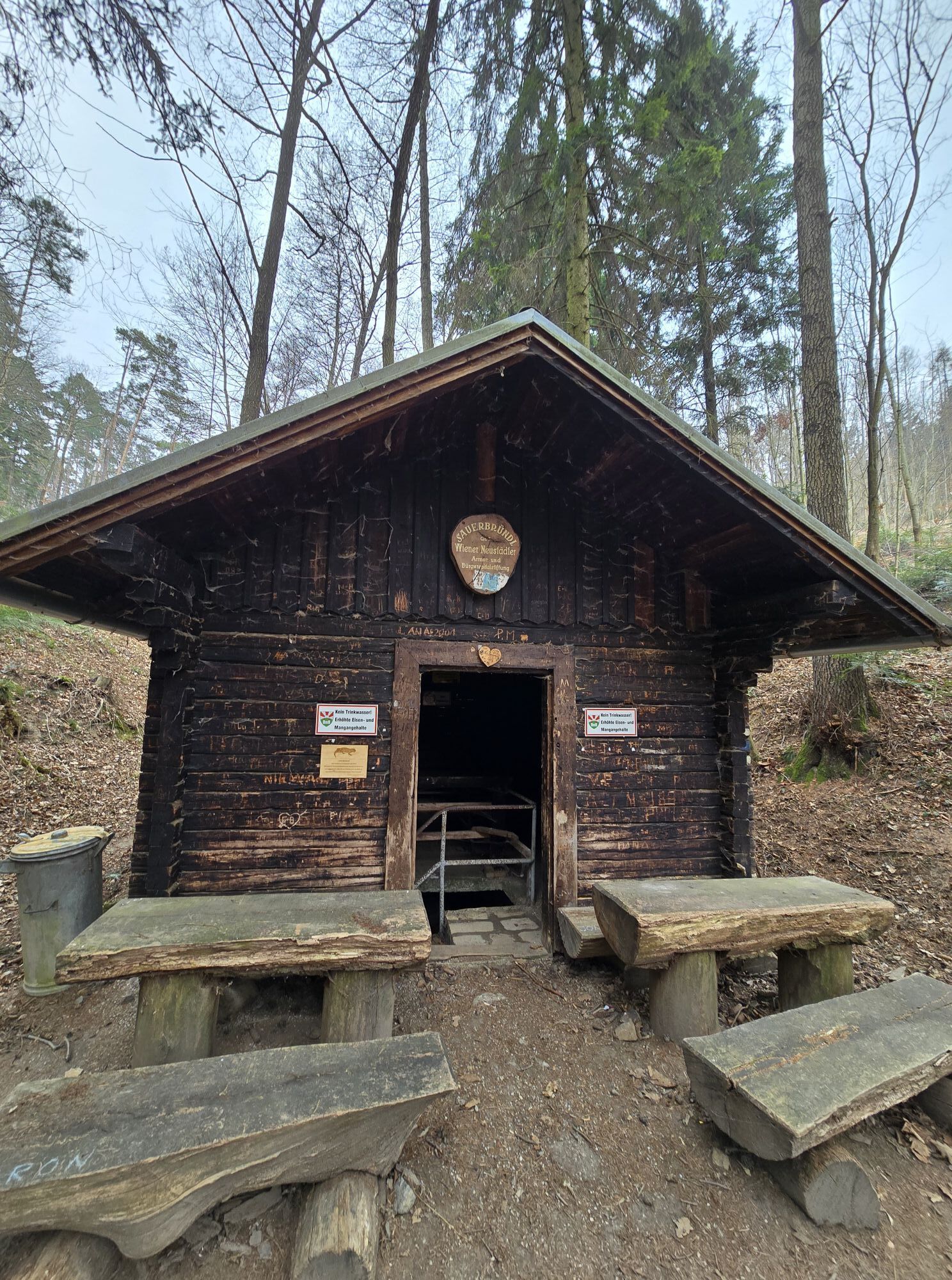
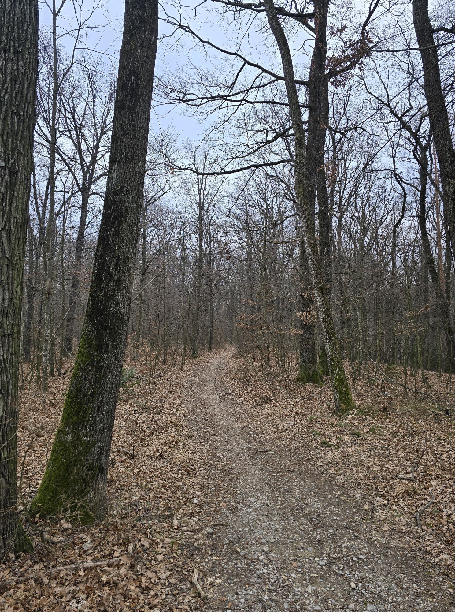
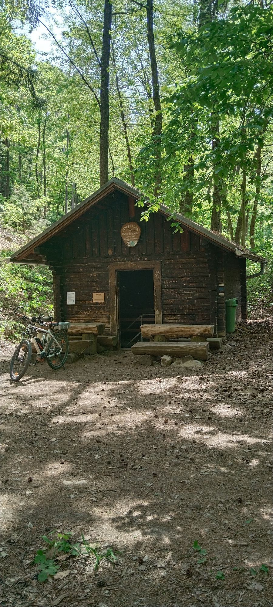
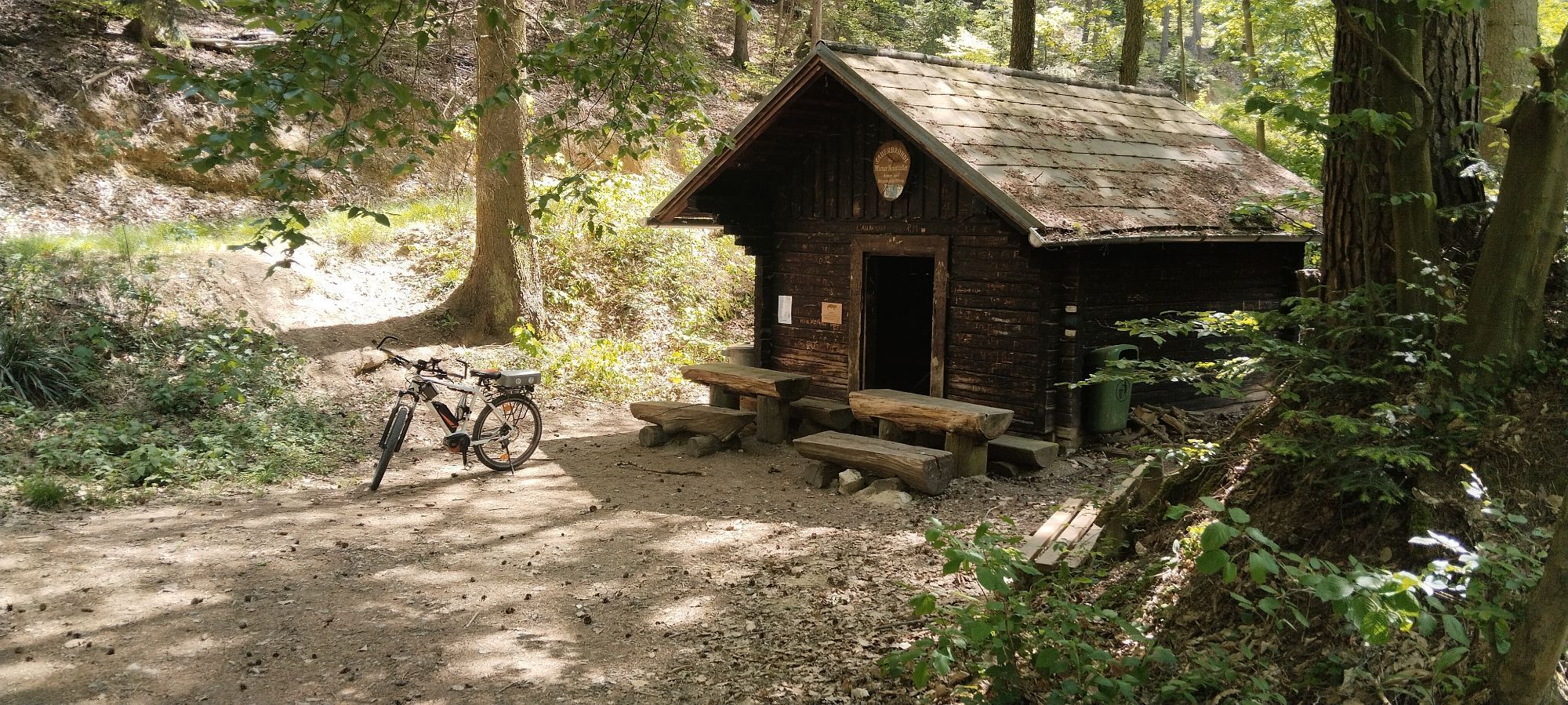

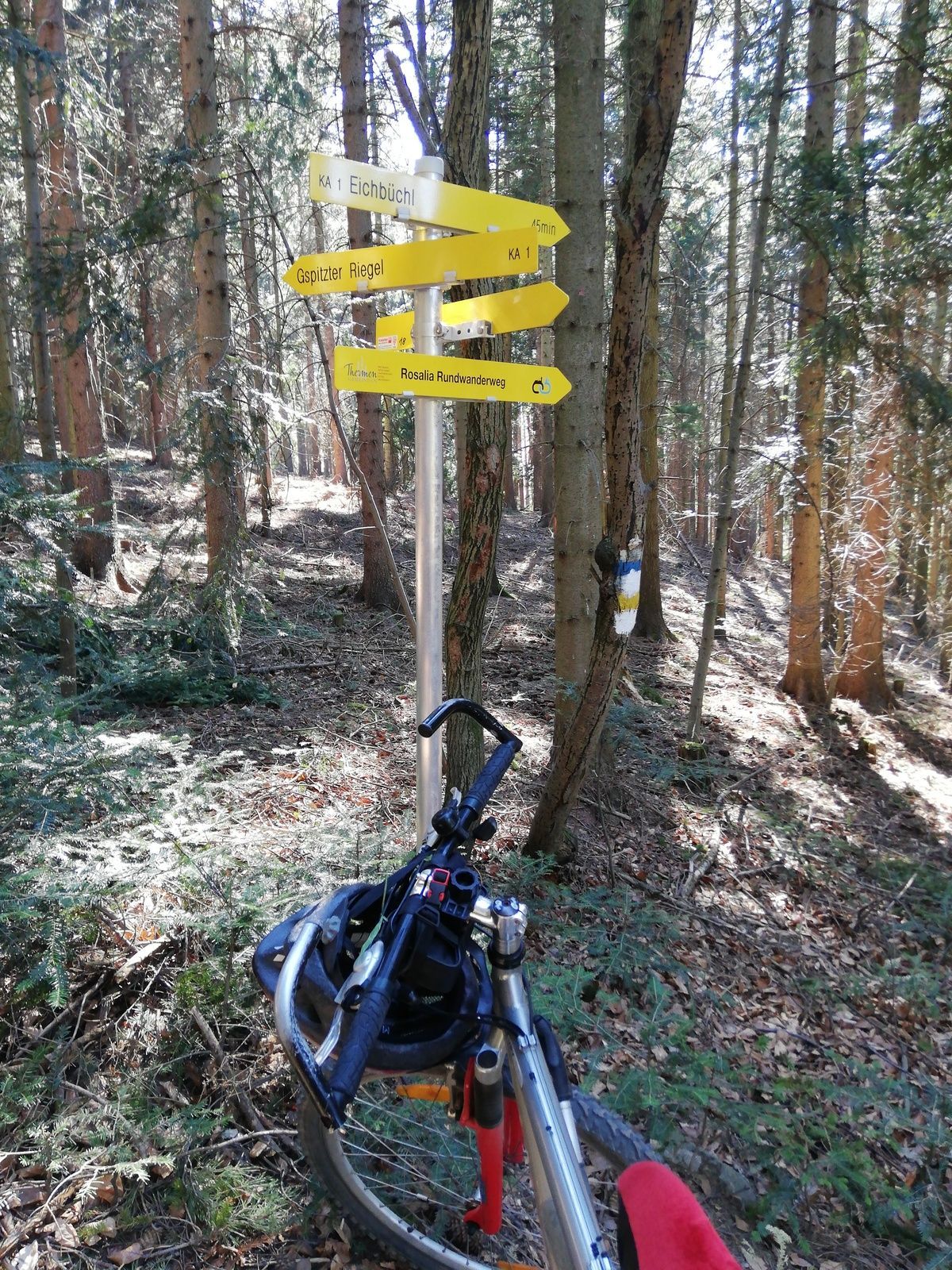
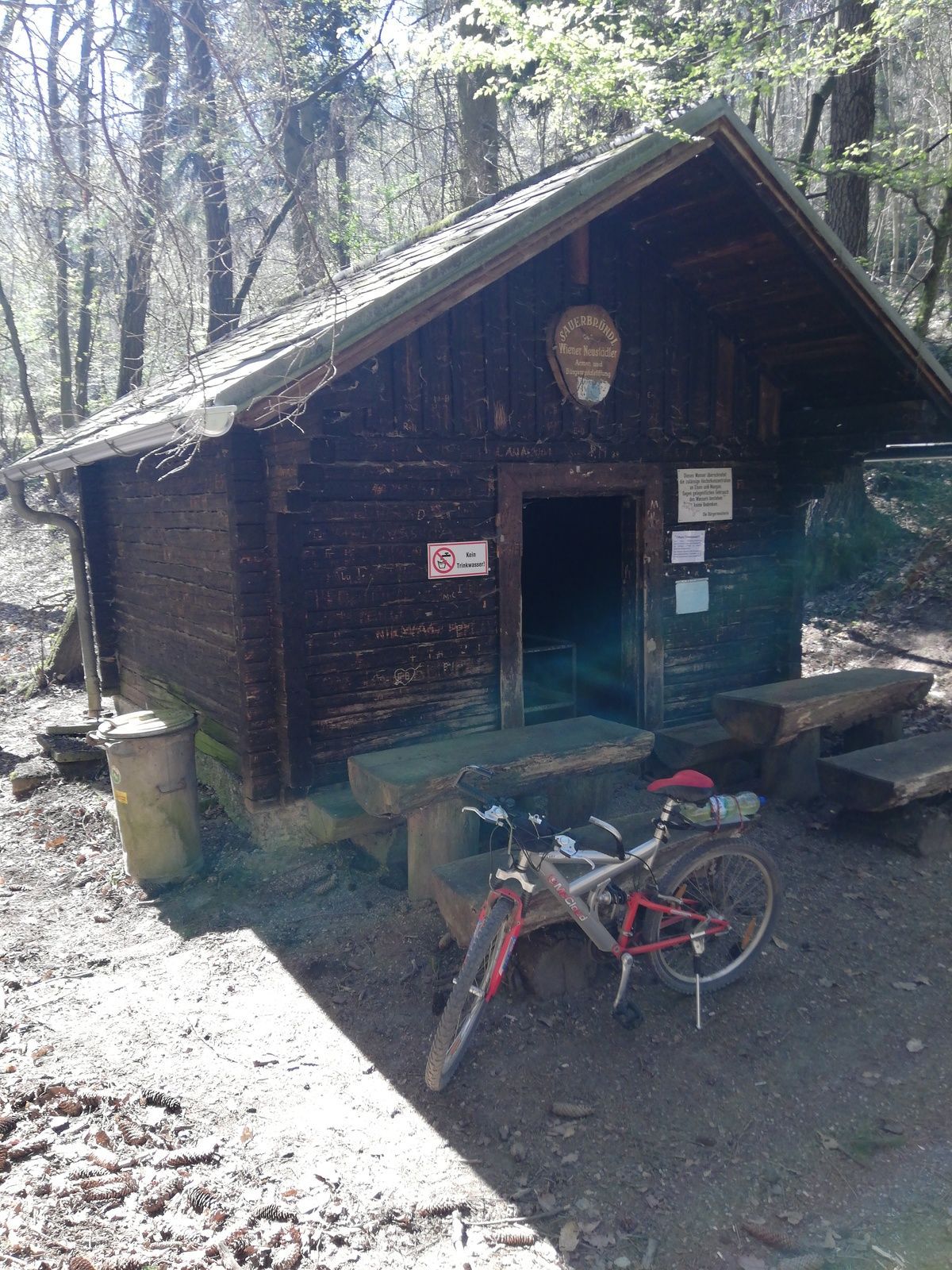
The approximately 12 km long Katzelsdorfer Gipfelweg can be found on the Katzelsdorf-Bad Erlach stage of the Wiener Alpenbogen - Arc of the Viennese Alps (trail). This local trail initially leads through...
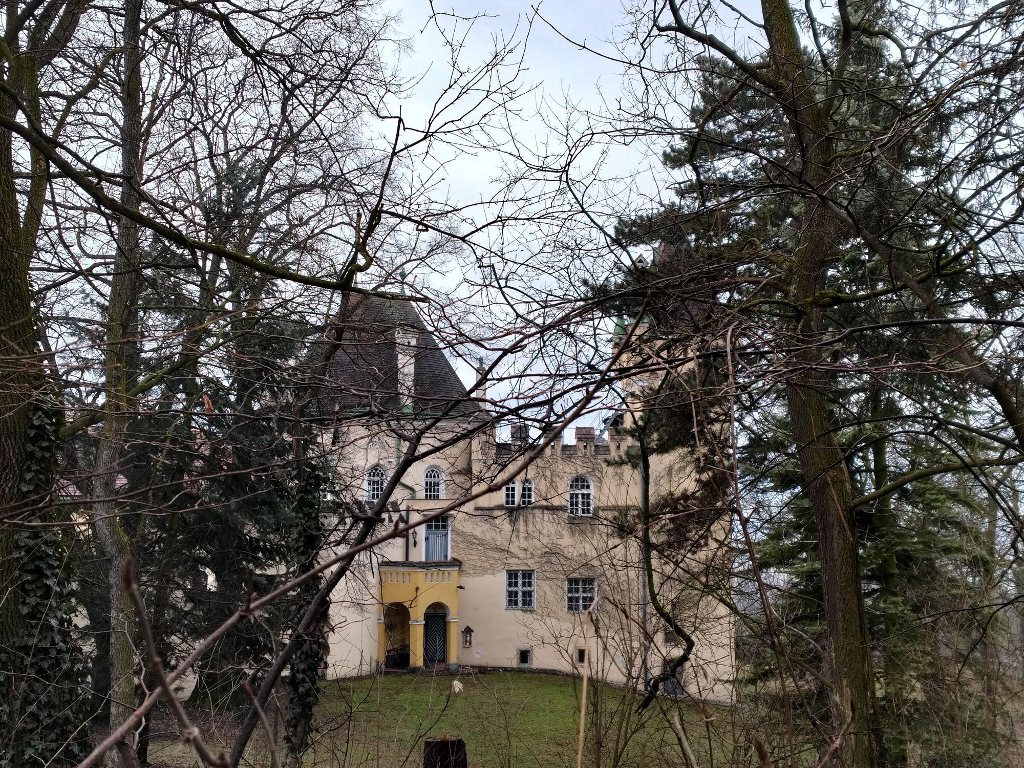
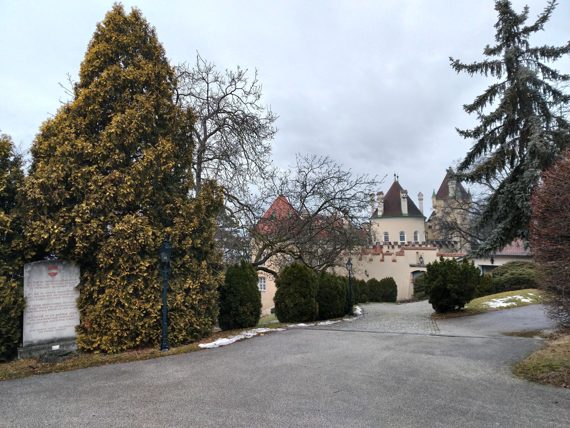
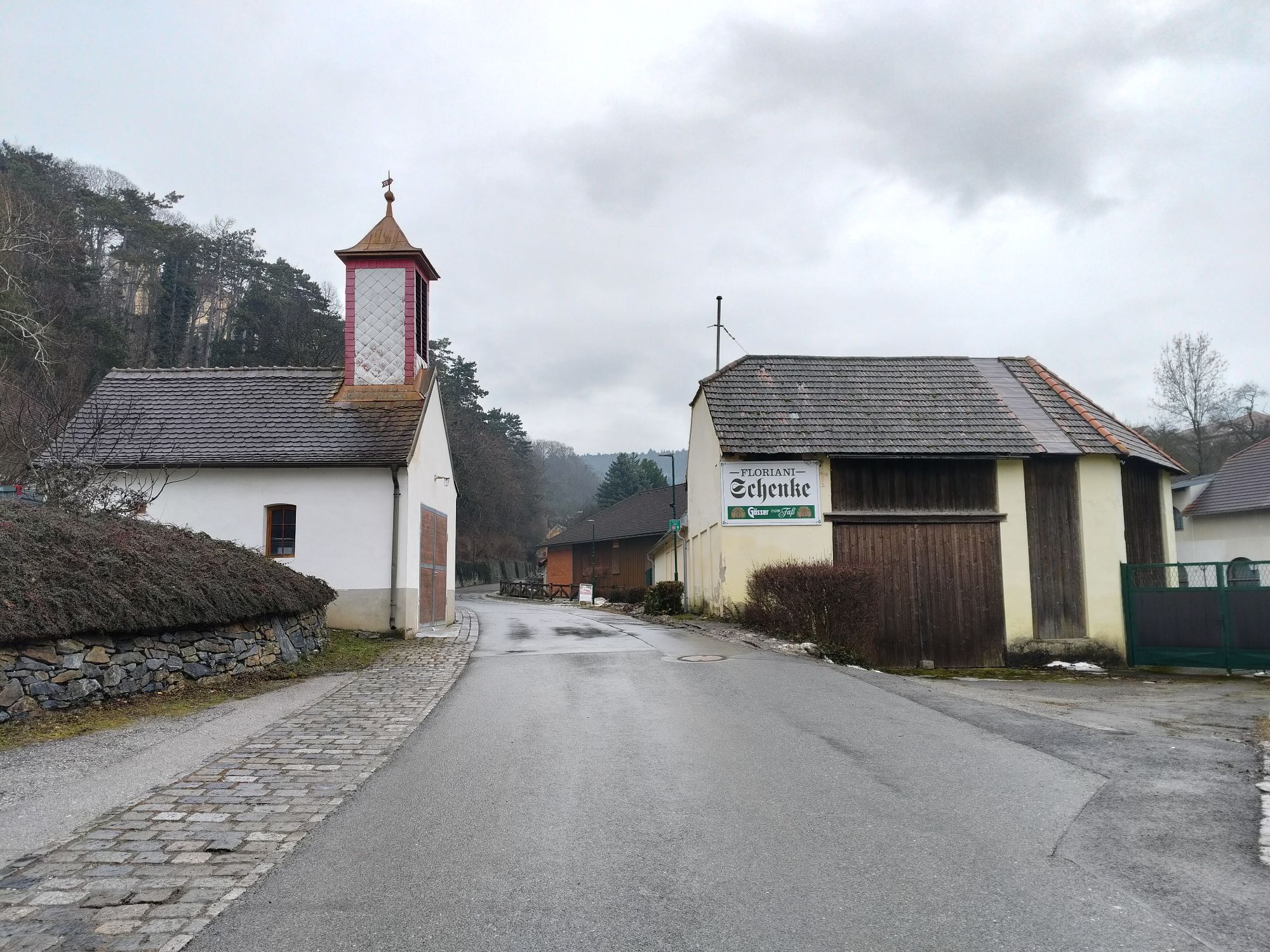
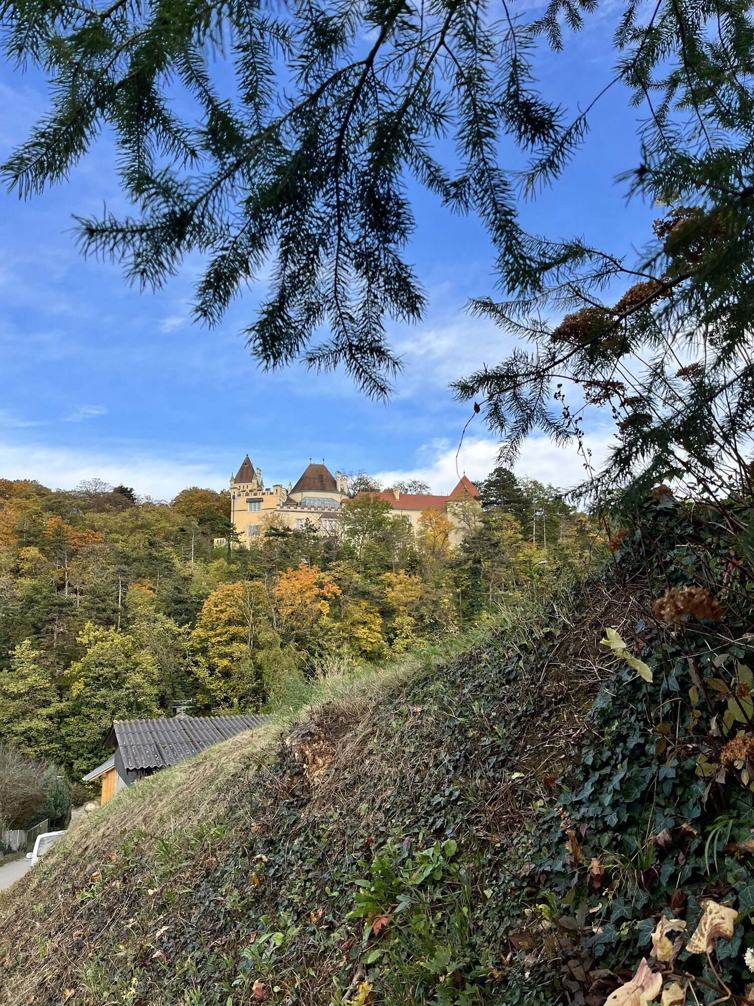
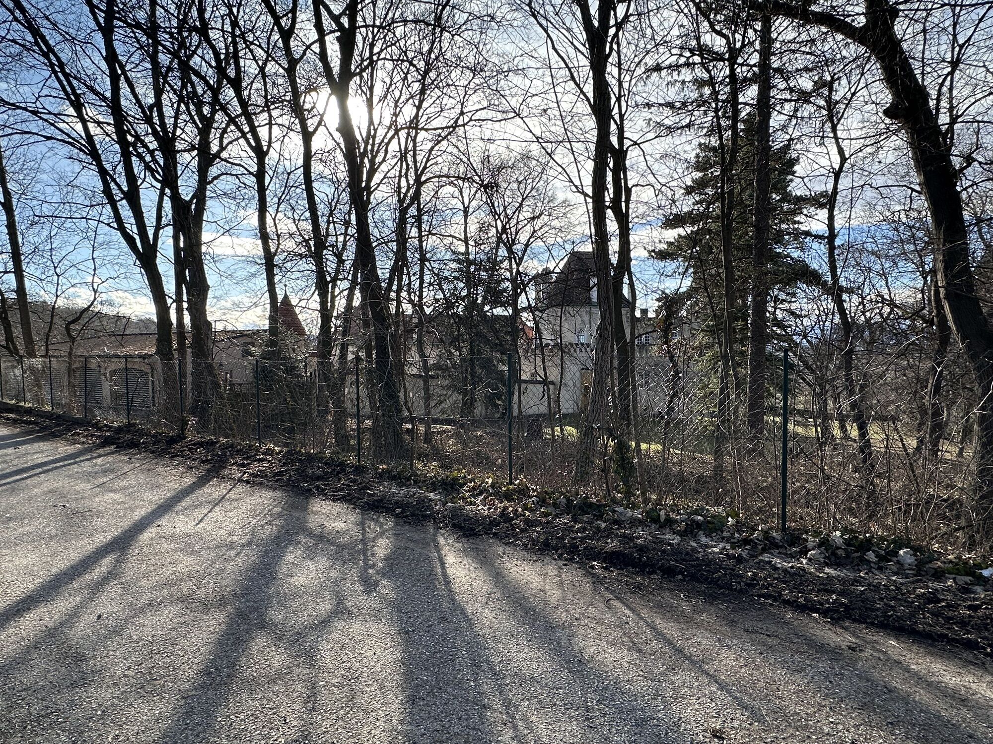
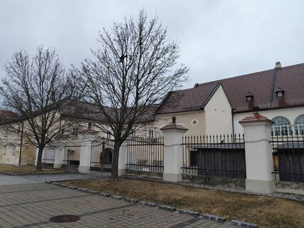
The approximately 12 km long Katzelsdorfer Gipfelweg can be found on the Katzelsdorf-Bad Erlach stage of the Wiener Alpenbogen - Arc of the Viennese Alps (trail). This local trail initially leads through built-up areas with solid roads, such as through the village of Katzelsdorf with the castle as the starting point. In Katzelsdorf, it is also worth visiting the world of pewter figures or the Böhm or Handler wine taverns.
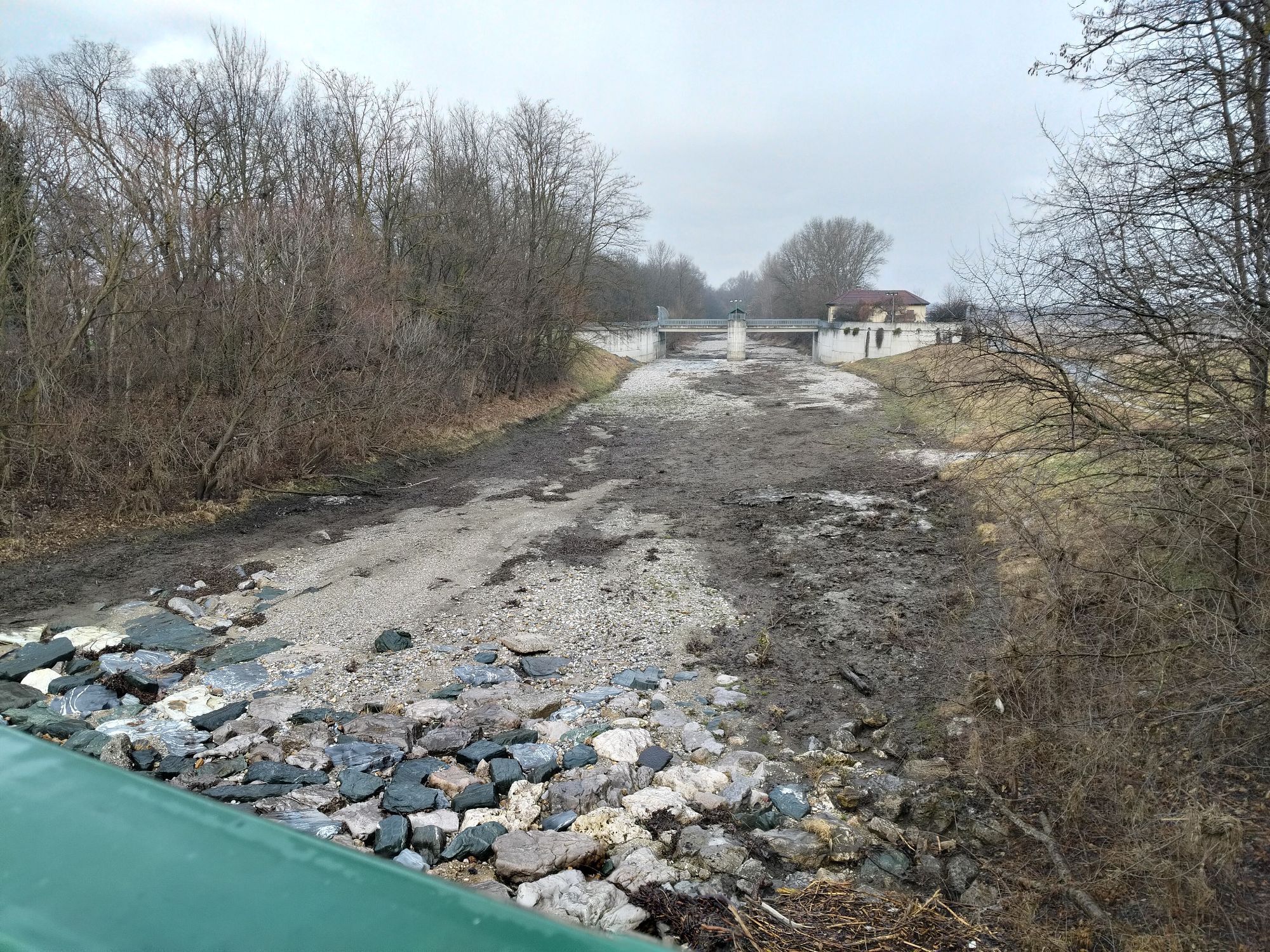
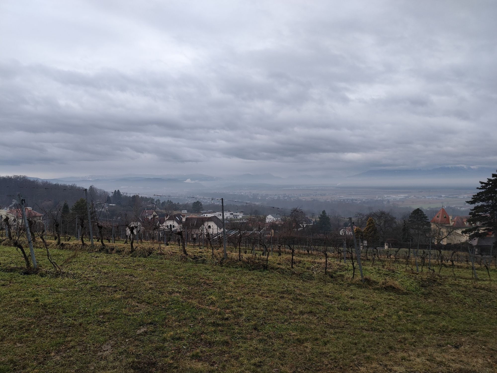
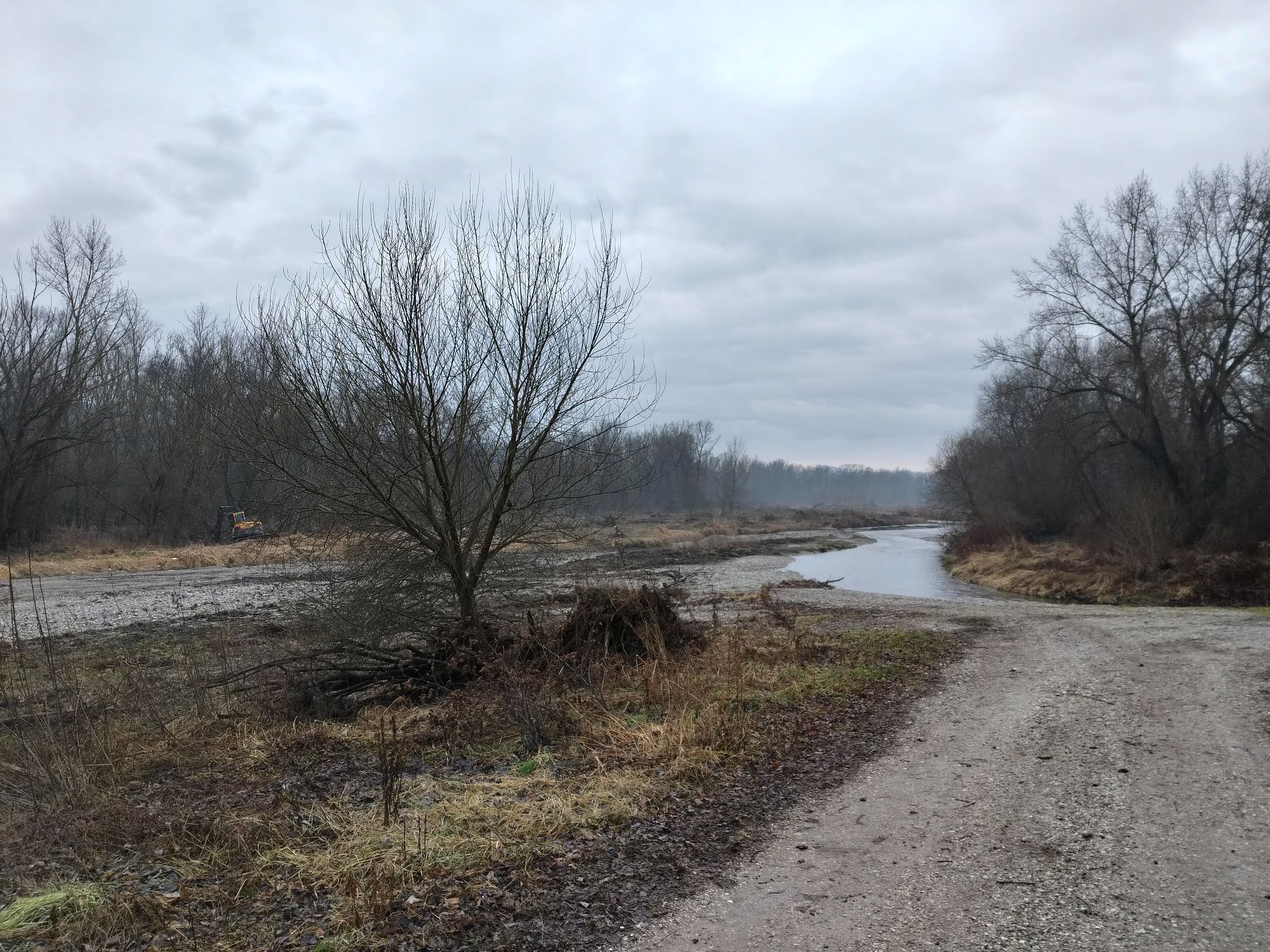
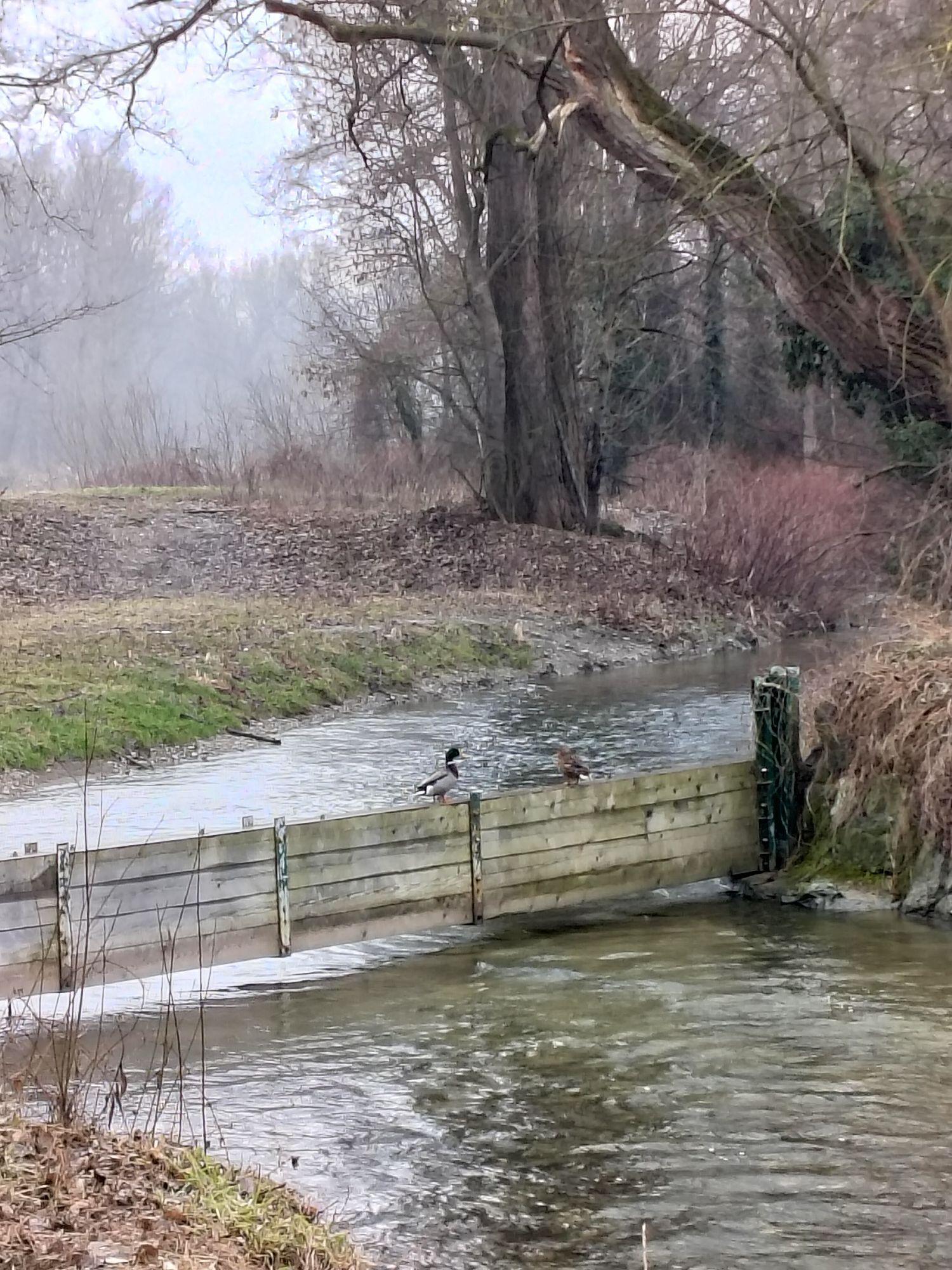
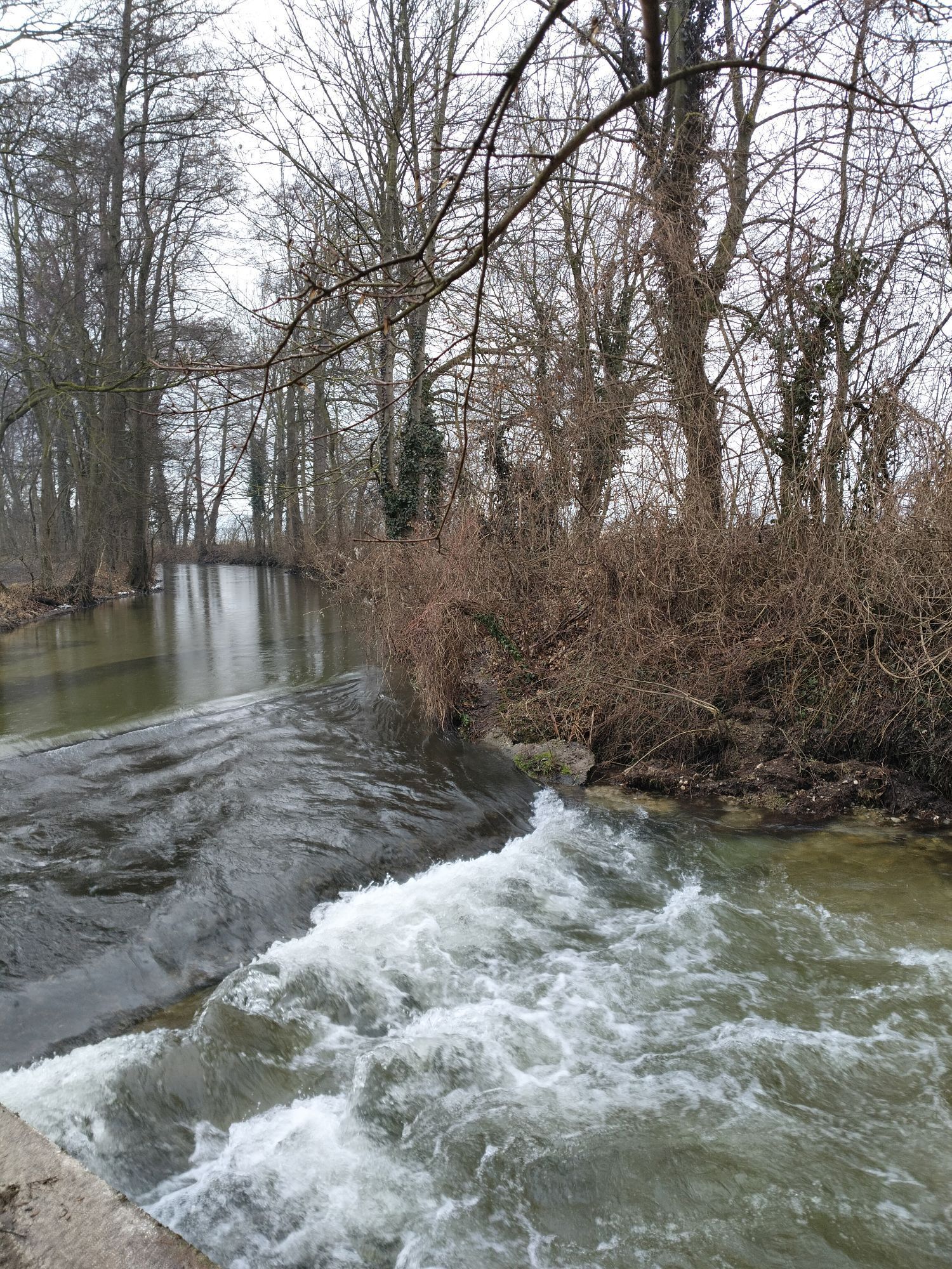
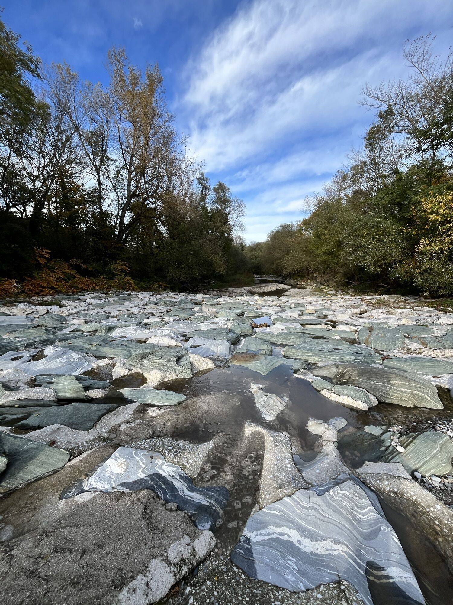
The route continues along the Leitha river to Eichbüchl with views of Eichbüchl Castle and various places to stop for refreshments, such as the wine taverns Brix and Woltran or the Görg restaurant.
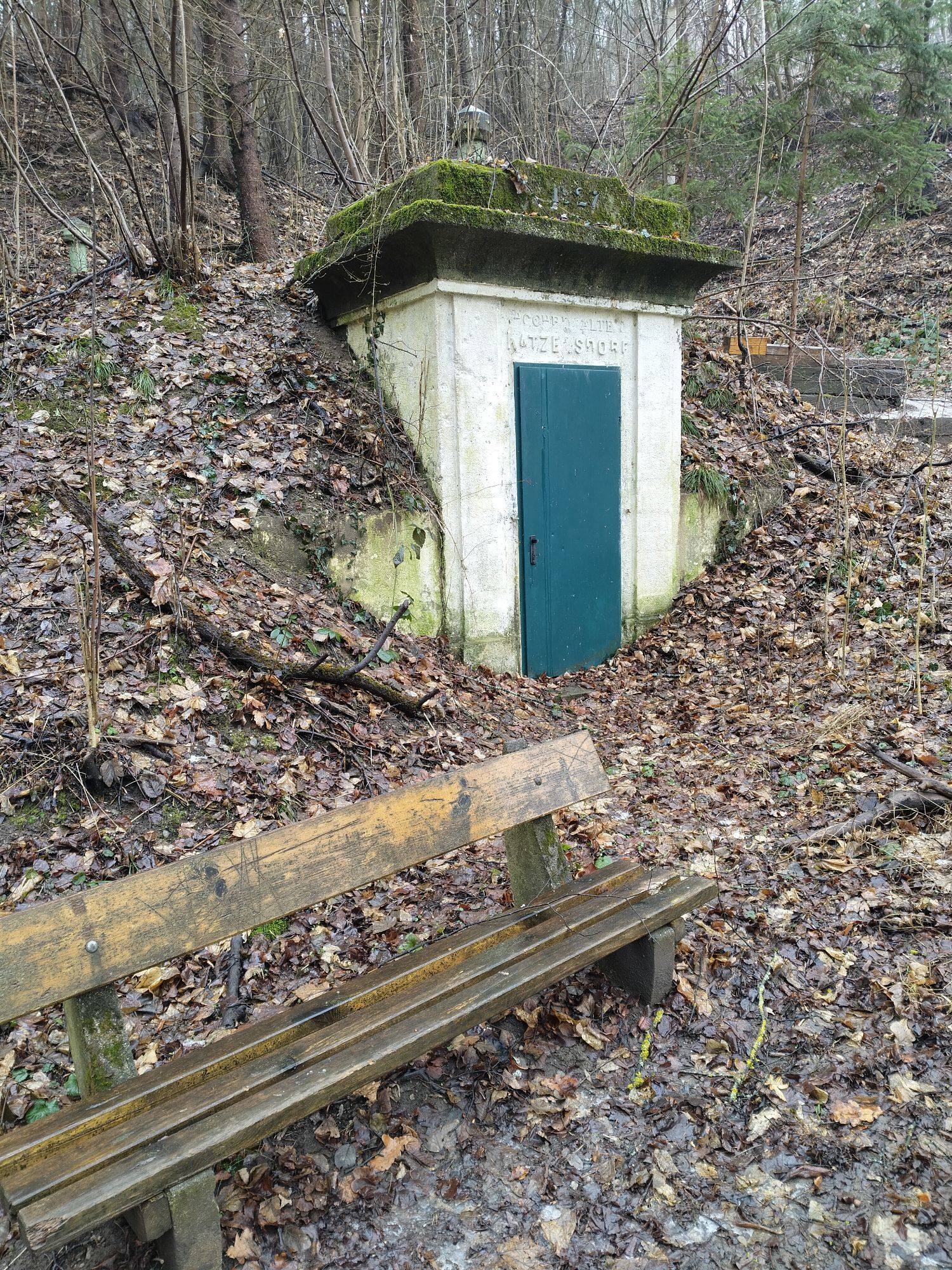
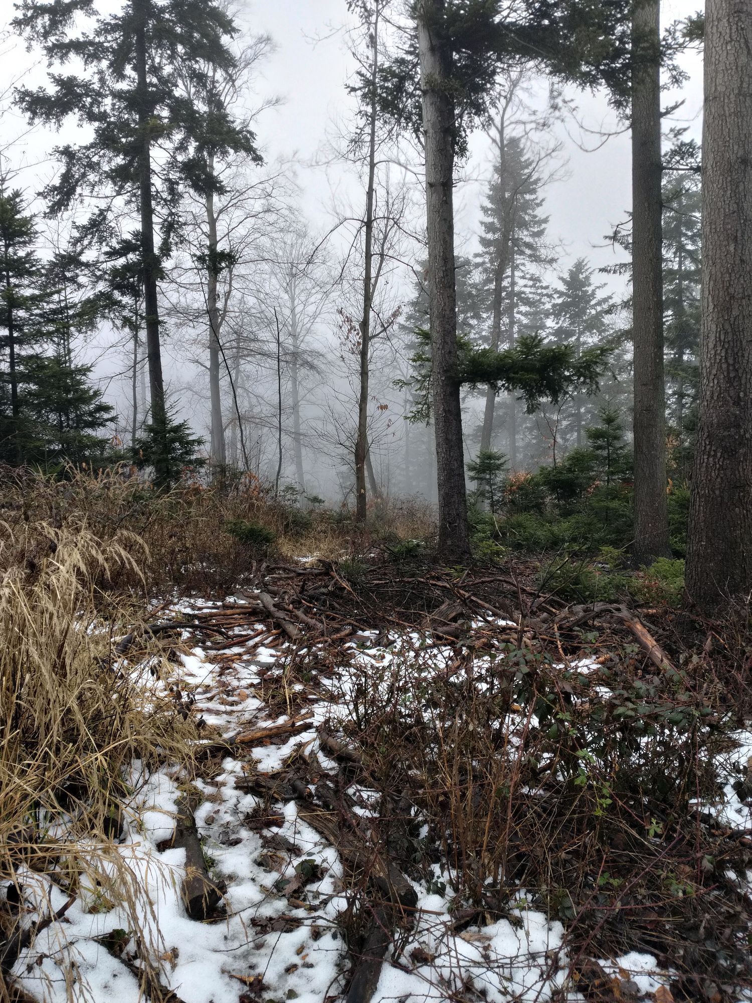
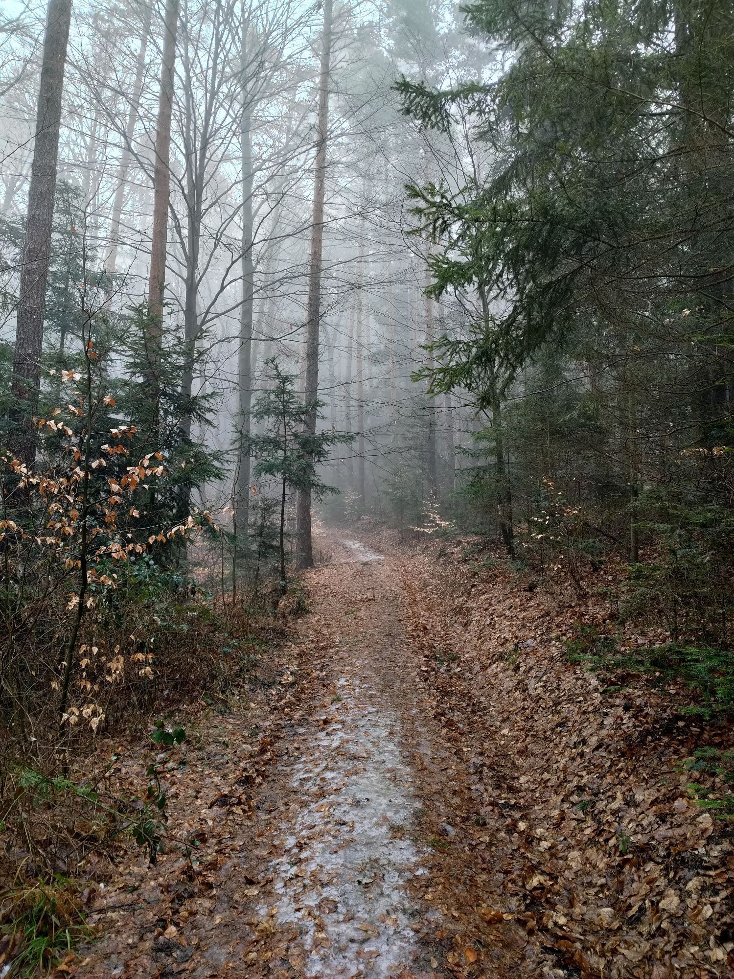
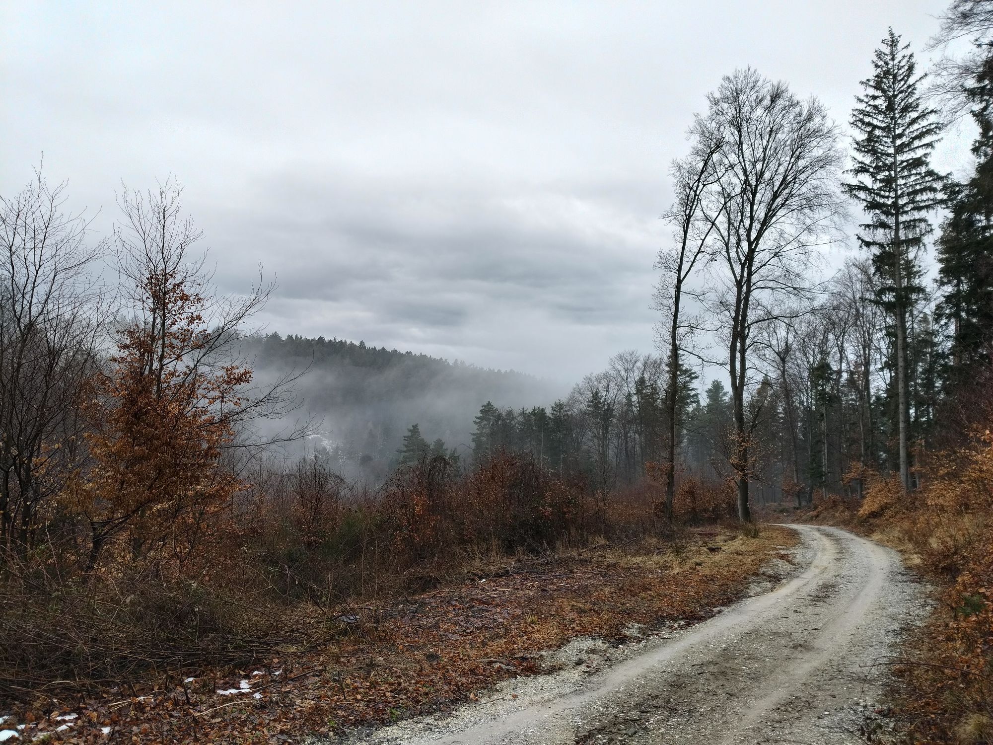
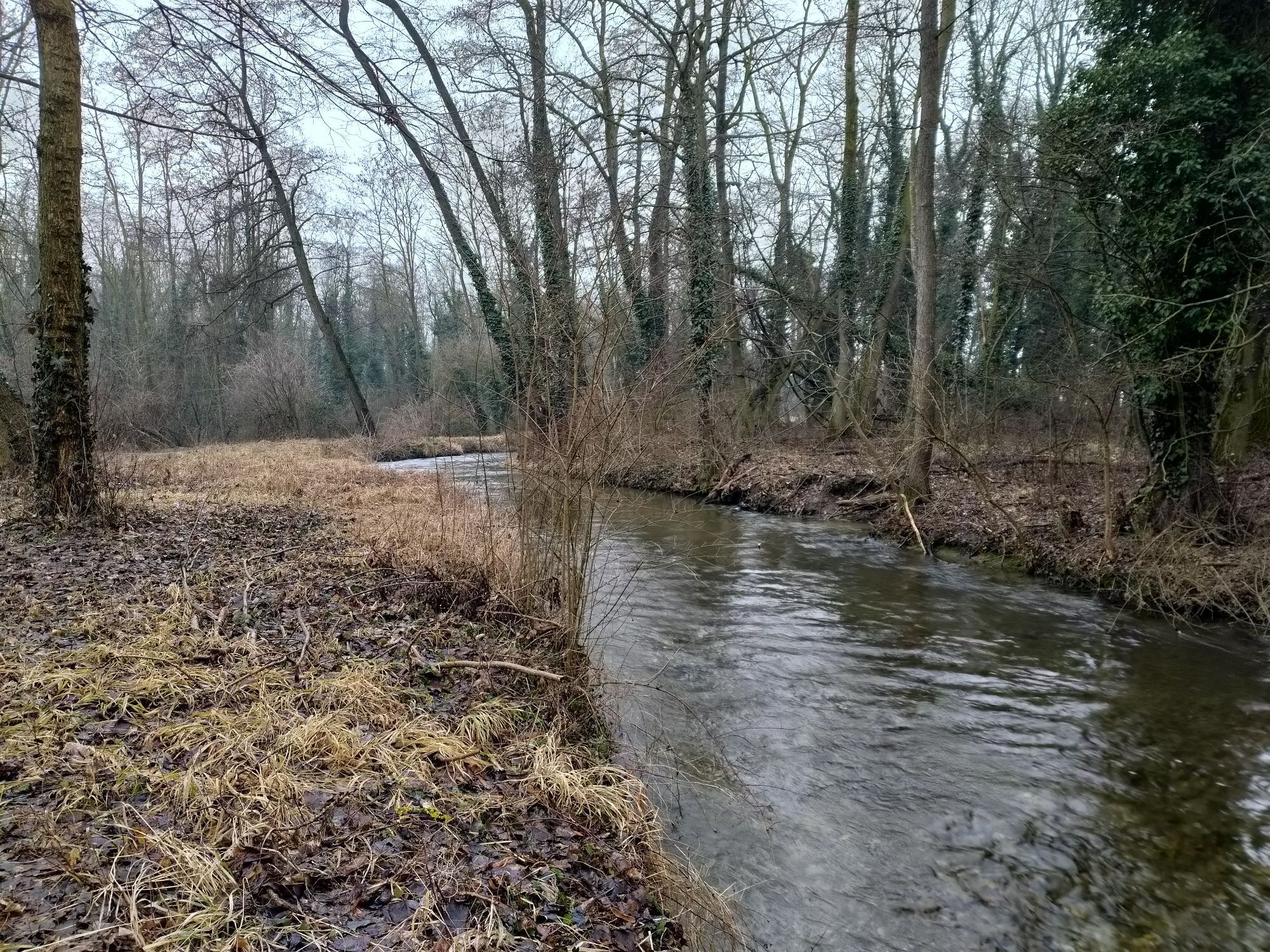
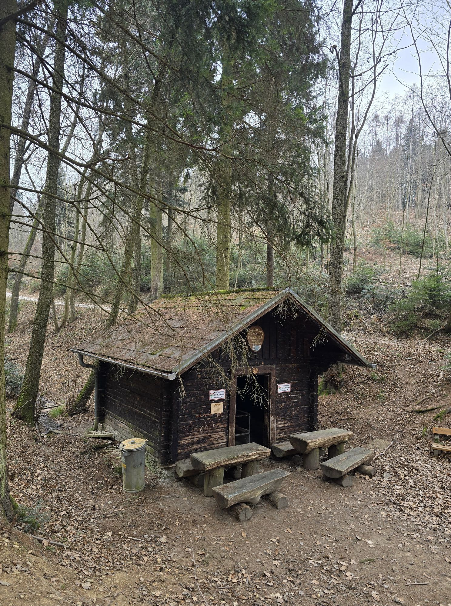
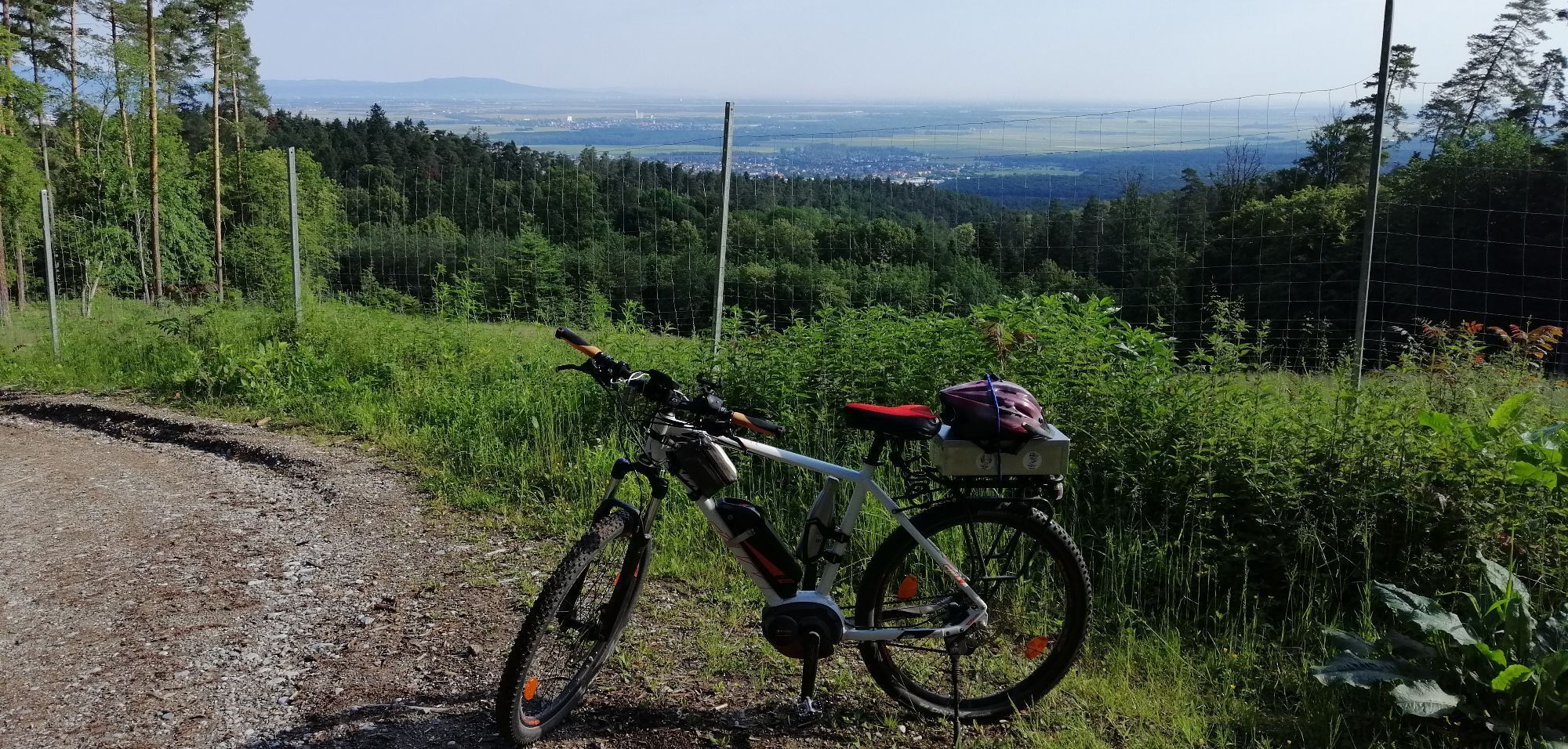
The circular hiking trail also offers forest and nature in the Rosaliengebirge mountains and leads along paths up to the vicinity of the Gespitzter Riegel summit (594 m). If you are looking for a varied and not too difficult hike, the Katzelsdorfer Gipfelweg is the right place for you.
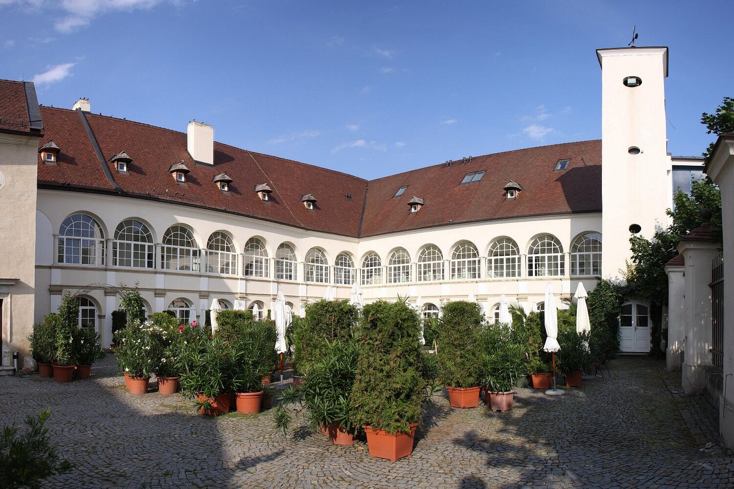

This route description first leads towards Eichbüchl (south). Since it is a circular hiking route, starting in the opposite direction is also possible.
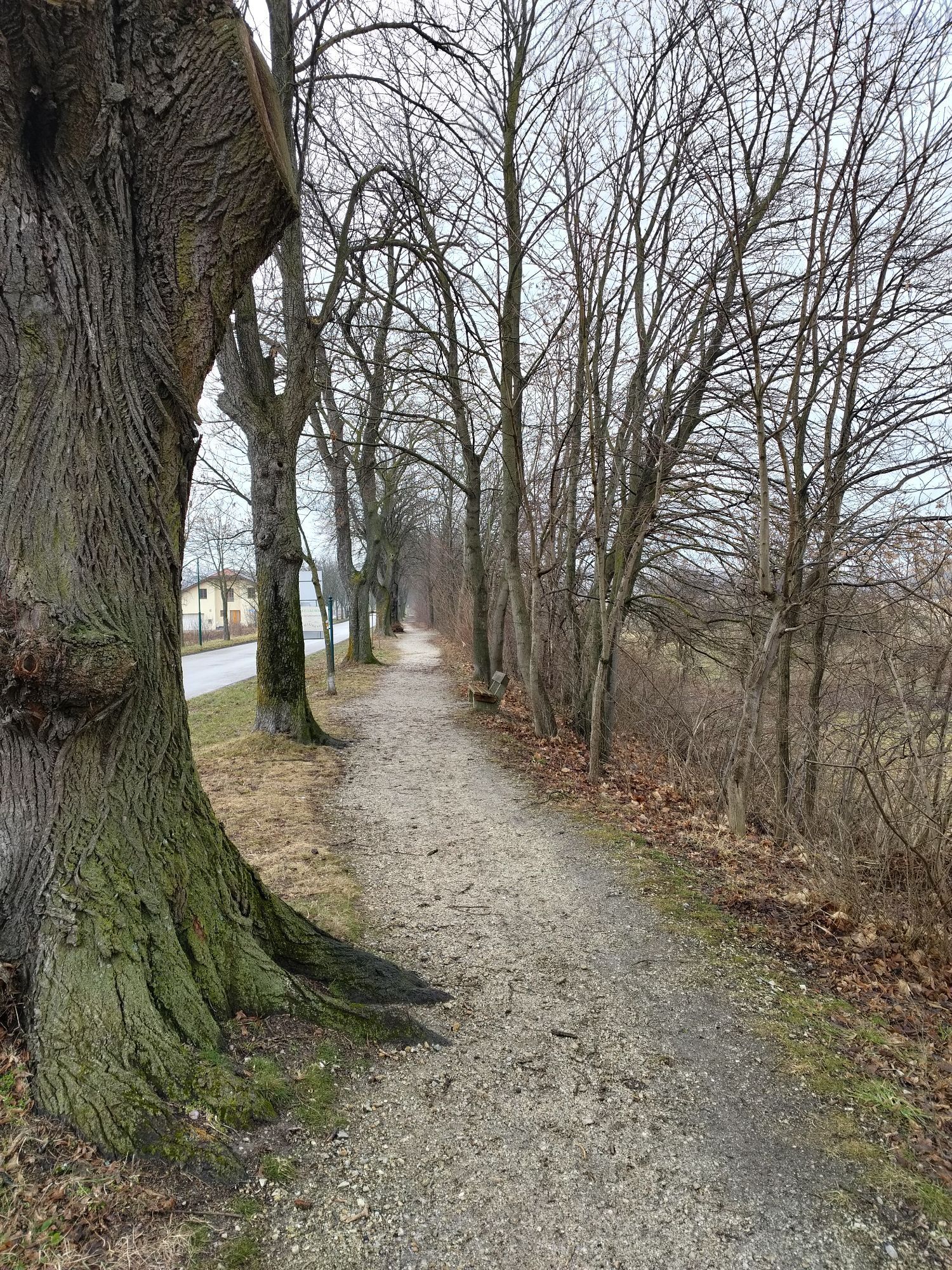
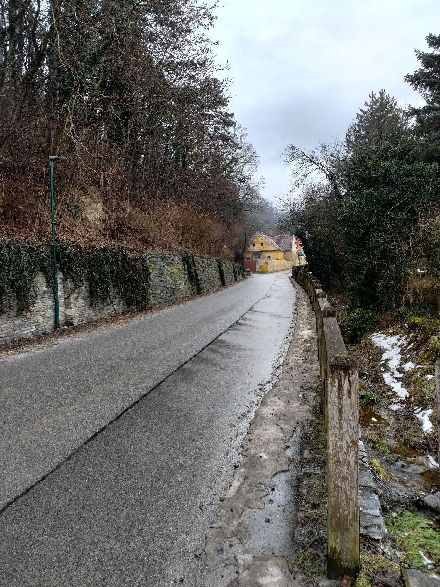
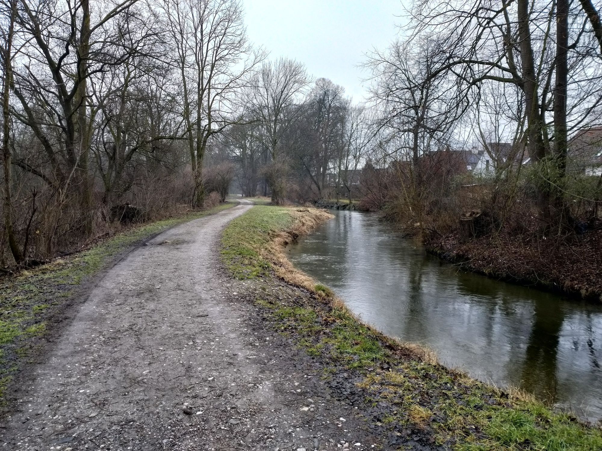
From the starting point at the castle, go right onto Mühlgasse to cross the river. At the next but one intersection, turn right onto Augasse, which leads to a path. The path runs along the river and eventually meets a paved road (Burkhardtweg). Following the road on the left, continue over the Leitha until reaching Eichbüchl. At the Restaurant Görg, turn left onto Dr. Karl Renner Weg, which leads to a gravel path. Then turn right onto another path. At the next intersection, continue straight ahead; the path goes uphill. At the T-junction, turn left.
Upon reaching the highest point of the route, the descent begins. The path makes a sharp right turn, which should be followed. At the next T-junction, turn left again. Cross the next intersection and continue straight along the path until a fork is reached. Here, take the left path leading to a short gravel path. Back in Katzelsdorf, continue straight ahead along Waldweg, Triftweg, and Leithaweg. Leithaweg eventually merges back into Mühlgasse, where you turn right to return to the castle.
Always take suitable maps with you. Wear sturdy shoes suitable for the route, bring sun and rain protection, as well as water and a small snack. Take your mobile phone with you and save the emergency number of mountain rescue: 140
Your hikes in the Vienna Alps should be a pleasant and safe experience. Please therefore note the following:
Preparation
Make sure when choosing your route that it matches your mountain experience and physical condition. Check the weather forecast in advance. Weather in the mountains can change surprisingly quickly. Therefore, always set out properly equipped (e.g., rain protection). Check whether the huts and snack stations you want to visit along the way are open. Inform someone about your route choice and planned return before you start.
Find more safety tips for your hike here.
Take the A2 from the direction of Vienna or Graz to the motorway interchange Knoten Wr.Neustadt, then follow the signs on the S4 towards Hungary/Eisenstadt/Mattersburg/Wr.Neustadt-Süd. Drive on the S4 to the Katzelsdorf exit. Turn right and drive on the country road to Katzelsdorf, then follow the signs to the castle.
More information can be found at www.oebb.at and www.vor.at
Free parking directly at Katzelsdorf Castle.
Vienna Alps in Lower Austria, www.wieneralpen.at, +43 / 2622 / 78960 Opening hours: Mon - Thu 08:30 - 16:00 / Fri 08:30 - 13:00
For a longer stay in Katzelsdorf, an overnight stay at Restaurant Görg is recommended!


Popularne wycieczki w okolicy
-
4,5
Bucklige Welt: Auf dem Pittentaler Klettersteig zum Türkensturz
średniVia ferrata 1,96 km -
4,8
Seebenstein - Türkensturz - Burg Seebenstein
światłoWędrówka 7,50 km -
4,2
Bergkraxler Klettersteig
średniVia ferrata 3,35 km -
4,3
Türkensturz Rundwanderung
średniWędrówka 2,56 km -
4,3
Naturlehrpfad Katzelsdorf
światłoWędrówka 3,81 km -
4,5
To the Wiesen/Lanzenkirchen observation tower from the Rosalia
światłoWędrówka 4,25 km -
4,7
Hubertuskapelle Piesting - Höhlturmrunde
światłoWędrówka 6,39 km -
4,6
M32 On the Gspitzter Riegel from Bad Sauerbrunn
średniWędrówka 8,73 km -
4,2
Türkensturz große runde
średniWędrówka 11,4 km -
4,7
Forchtenstein-Rosalienkapelle
światłoWędrówka 7,86 km
Wędrówki i tropienie


Nie przegap ofert i inspiracji na następne wakacje
Twój adres e-mail została dodana do listy mailingowej.





