







Kaiserebenwiese - Öhler - Schober
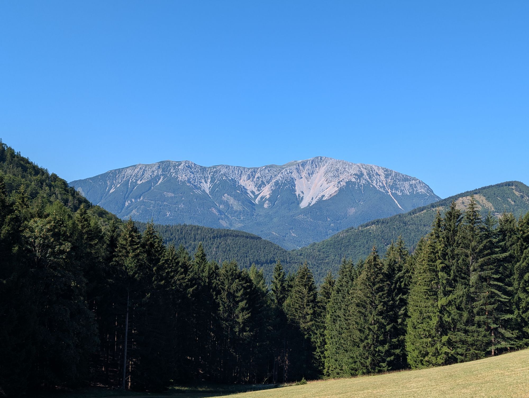
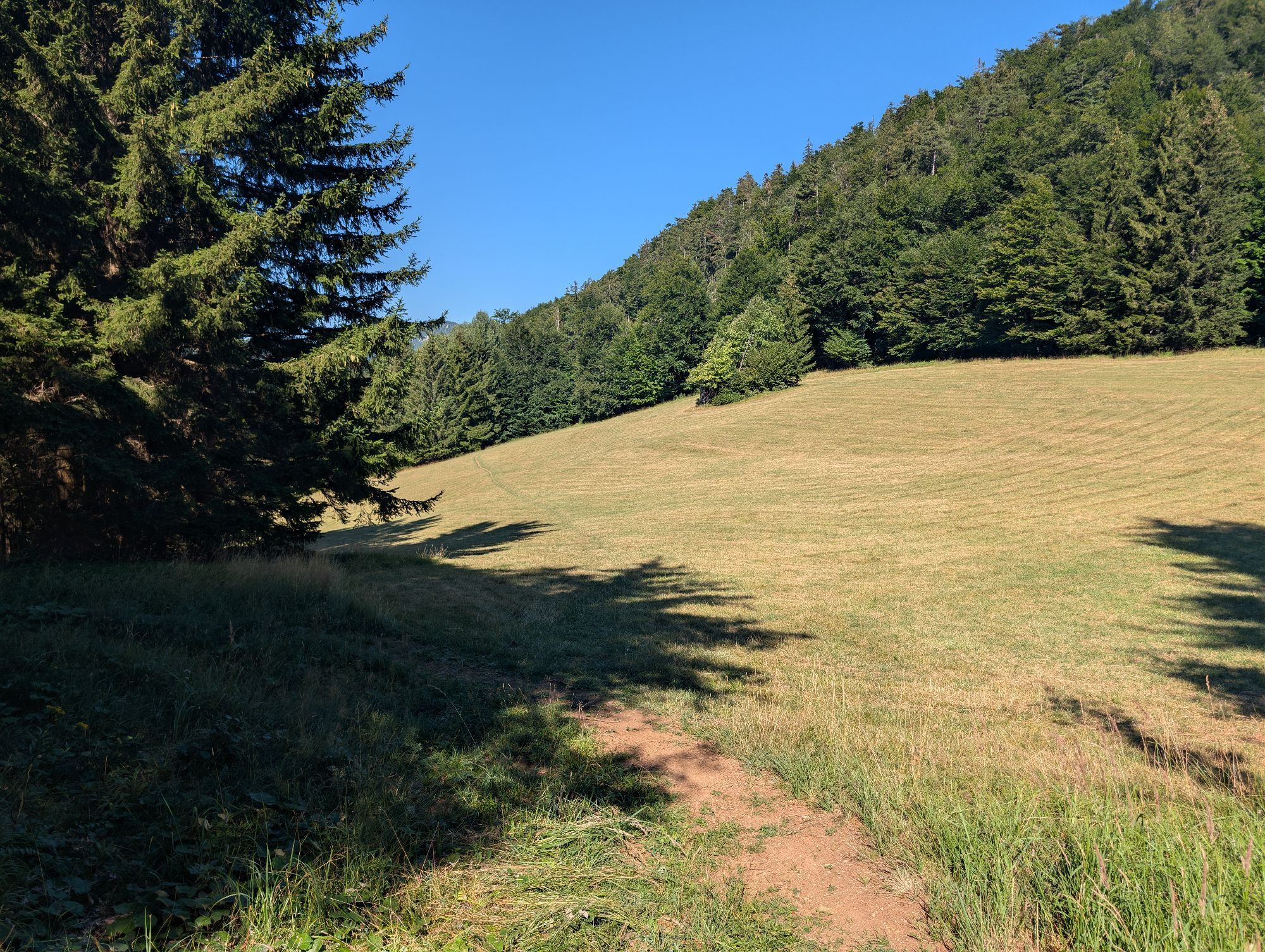
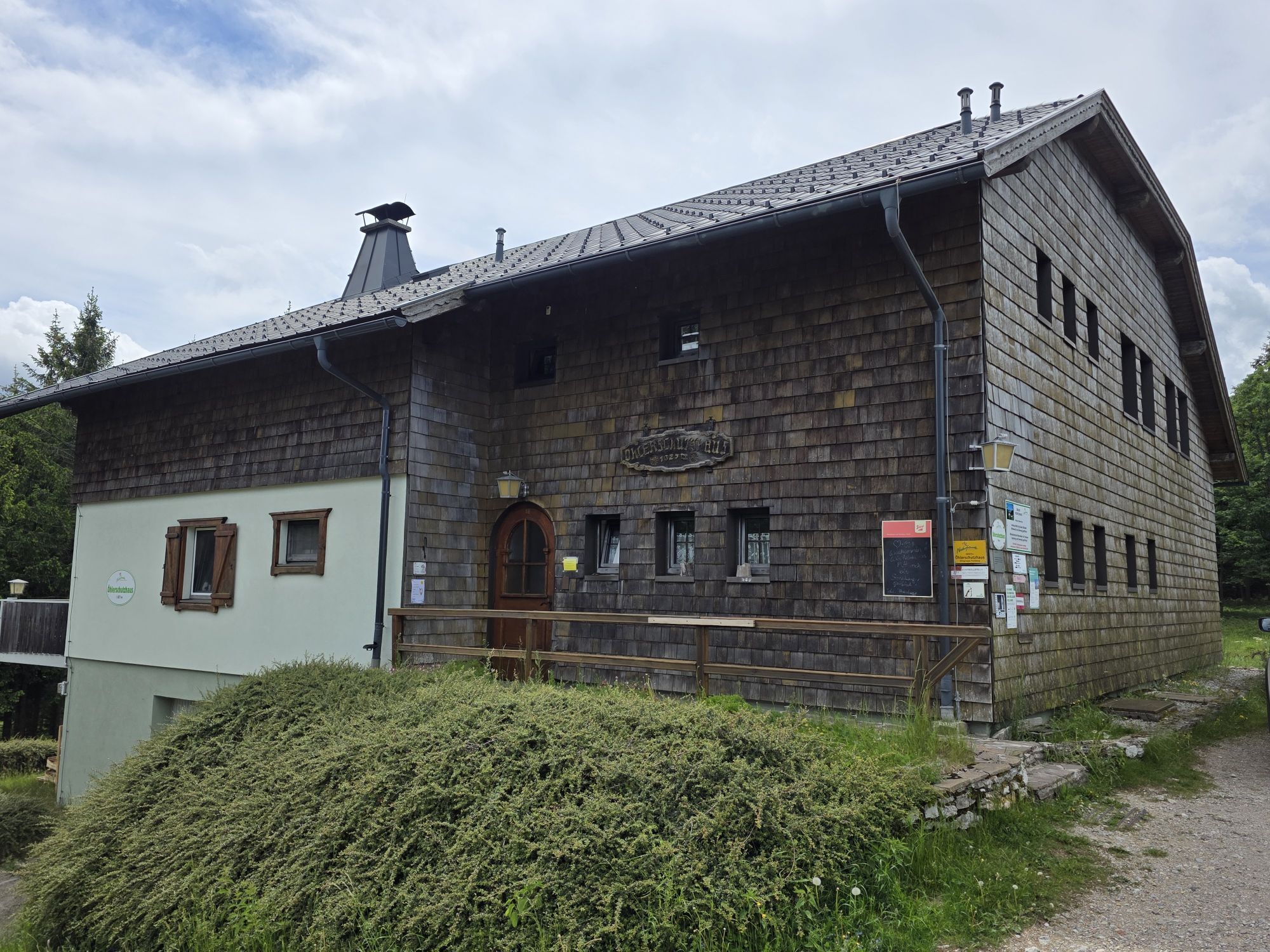
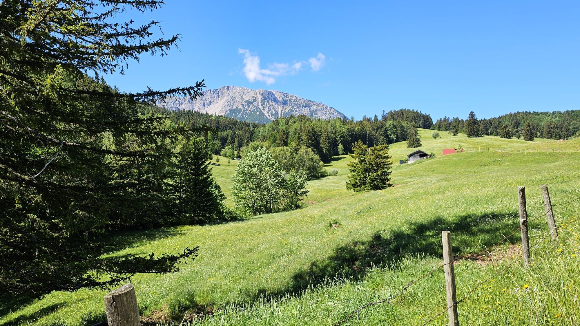
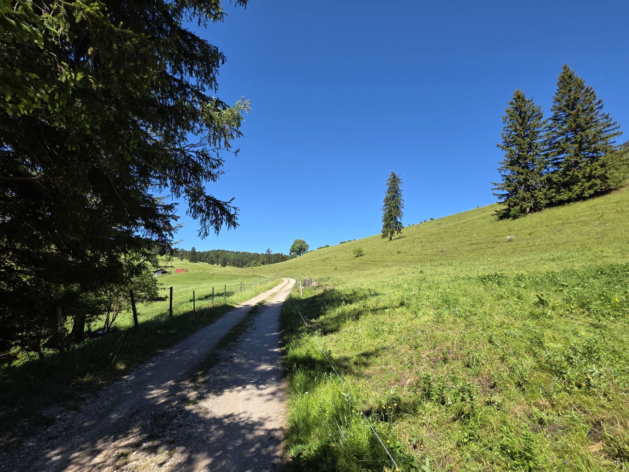
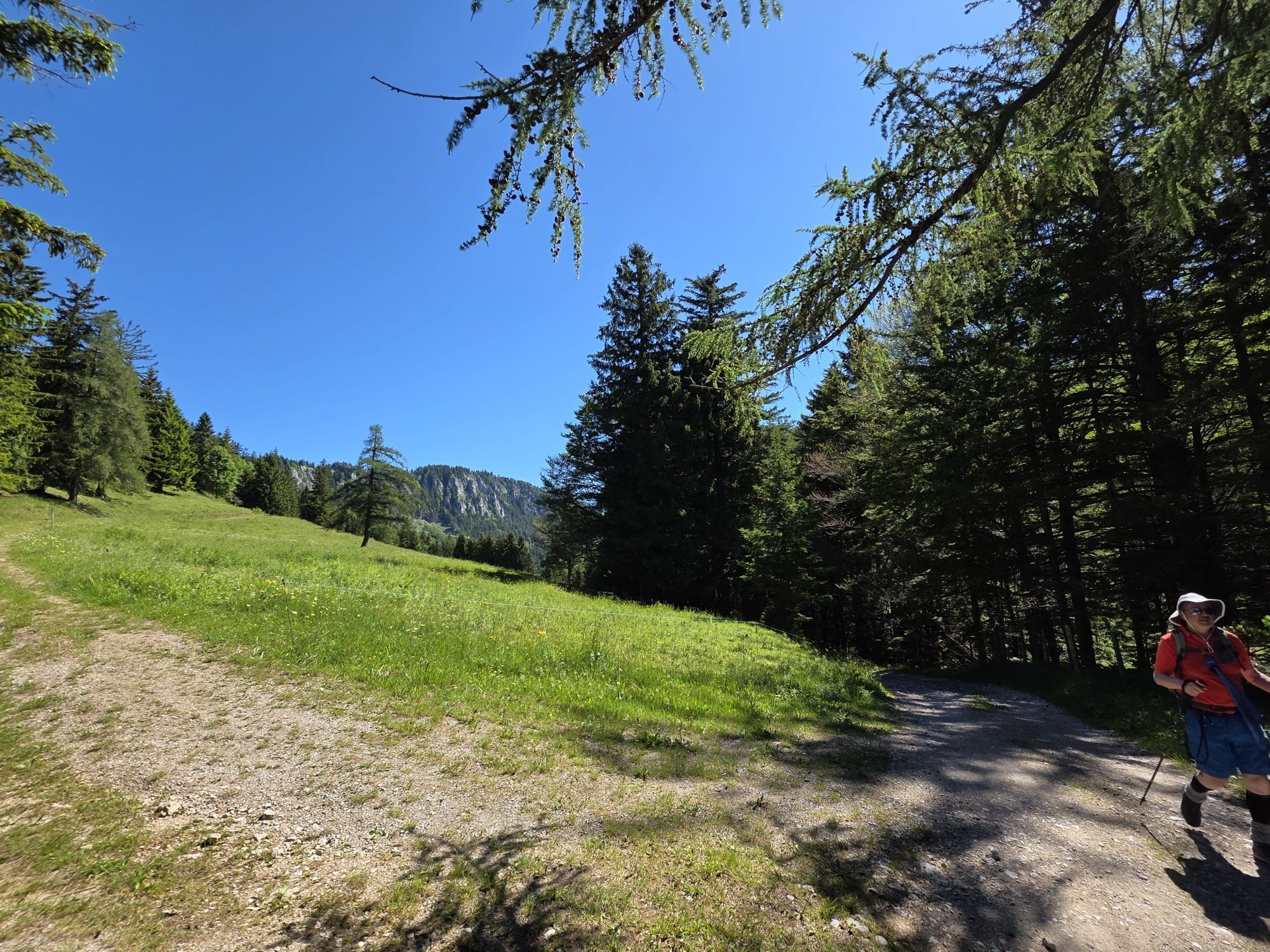
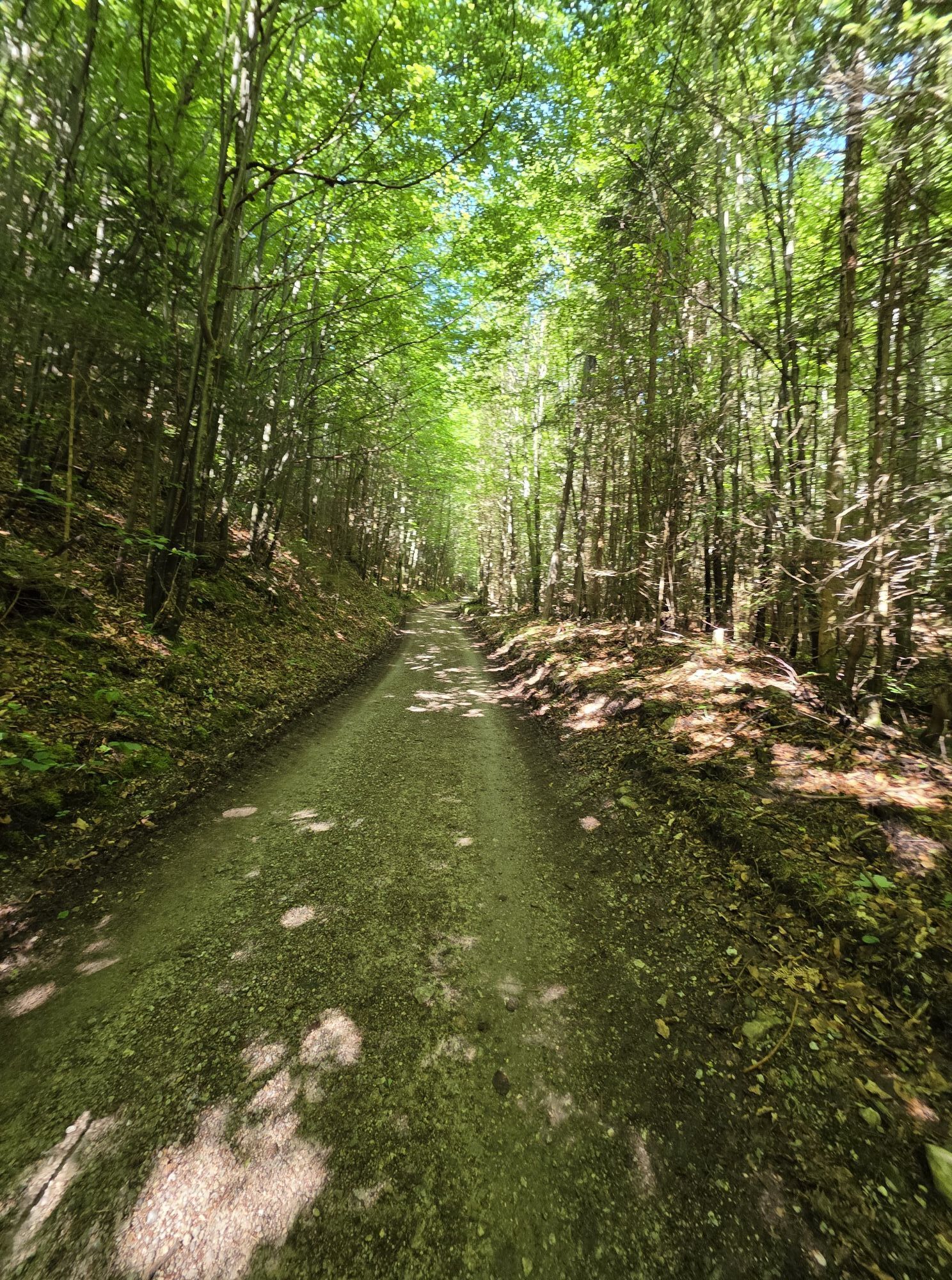
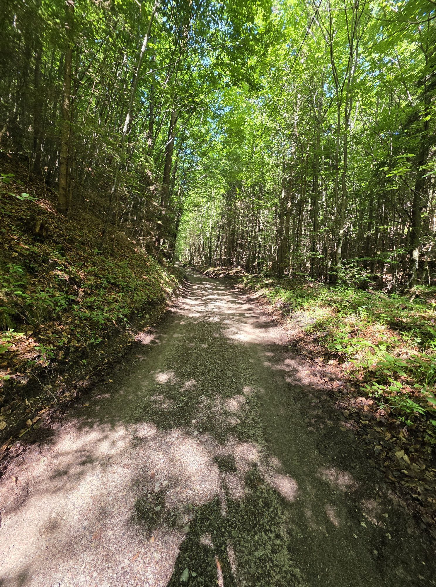
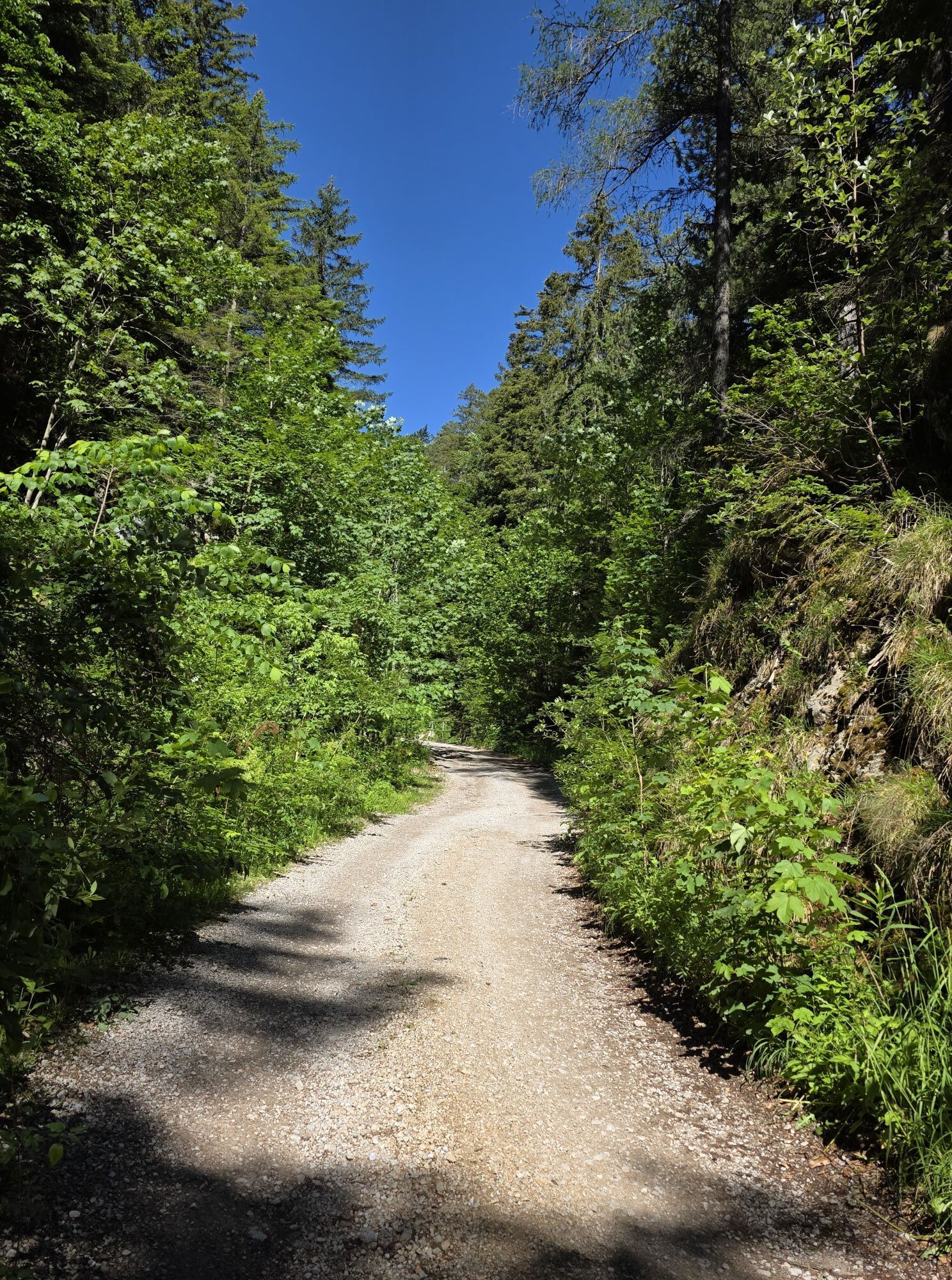
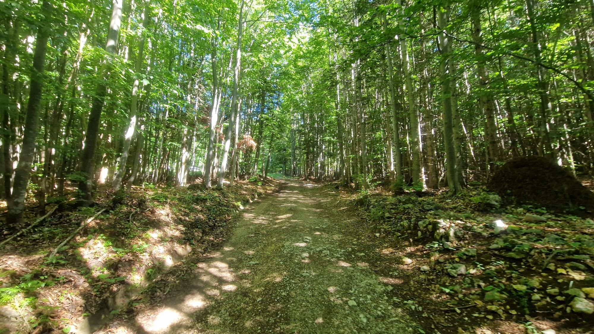
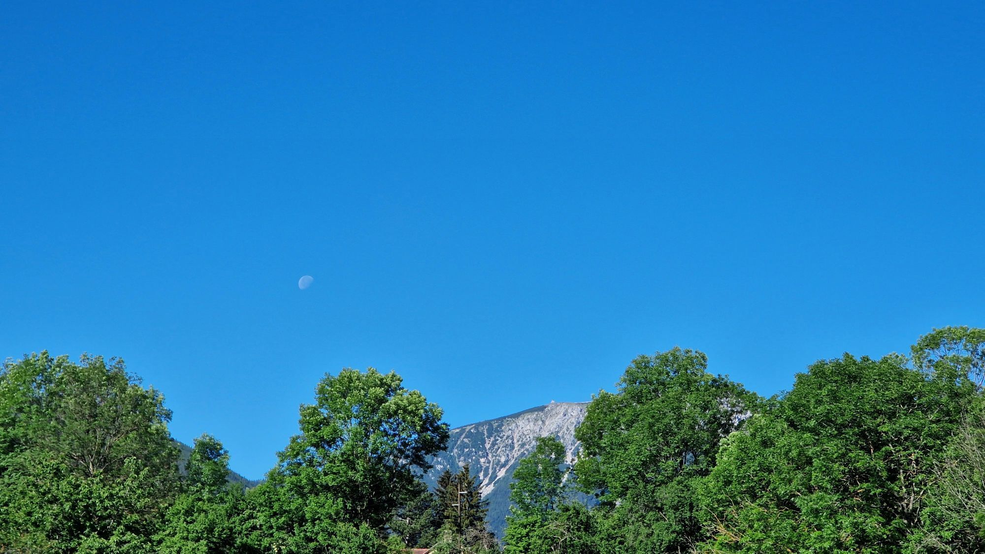
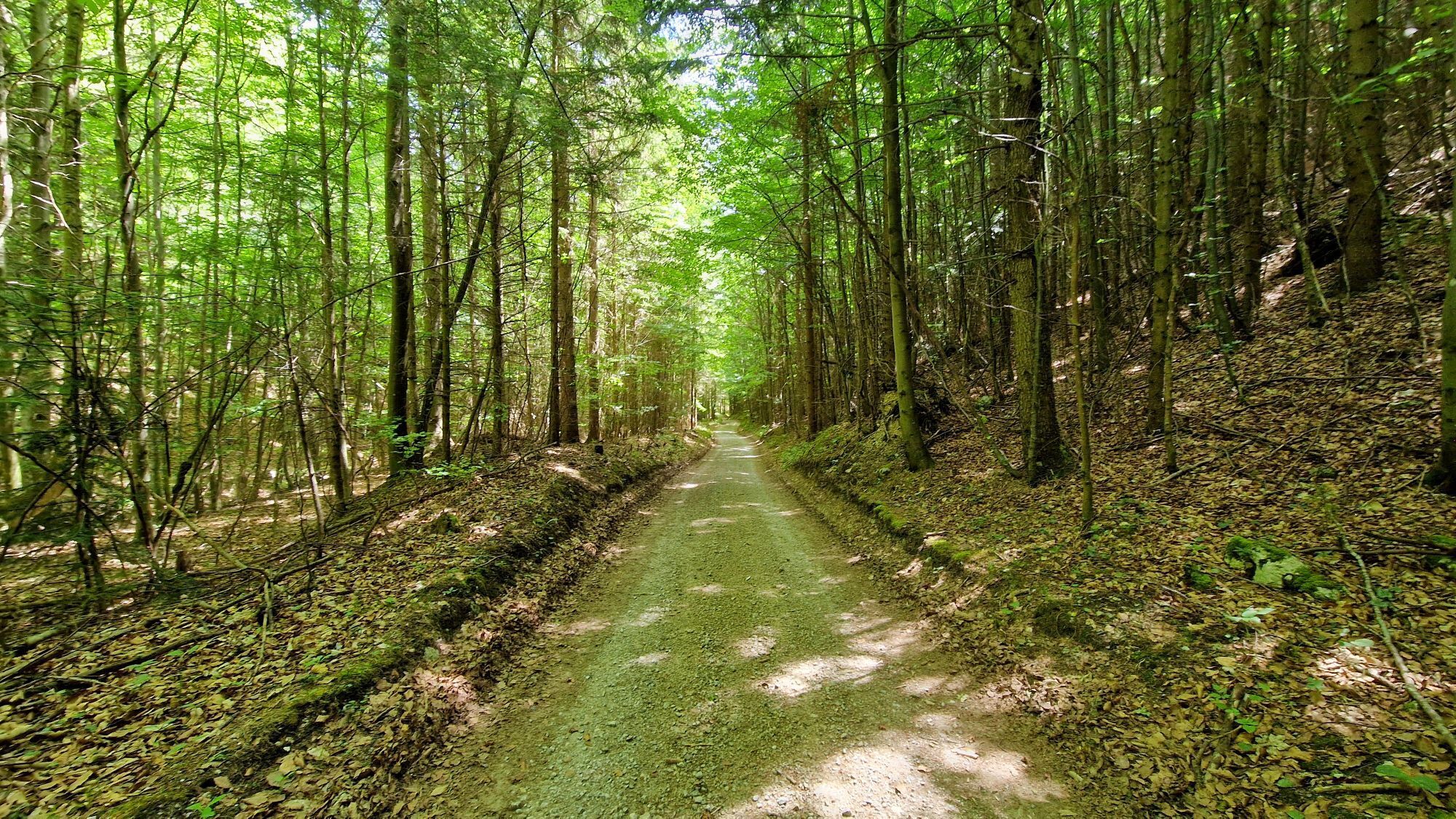
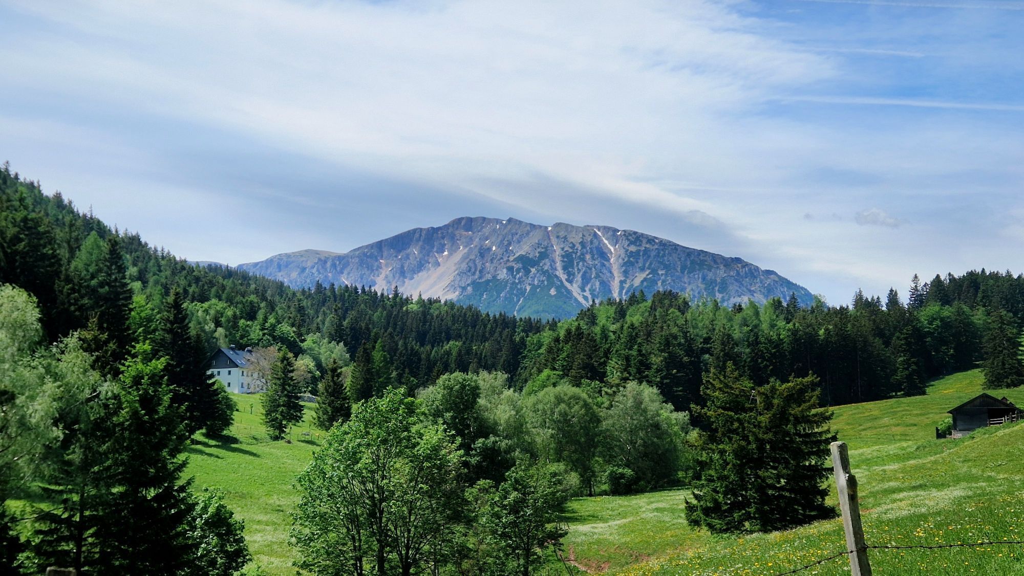
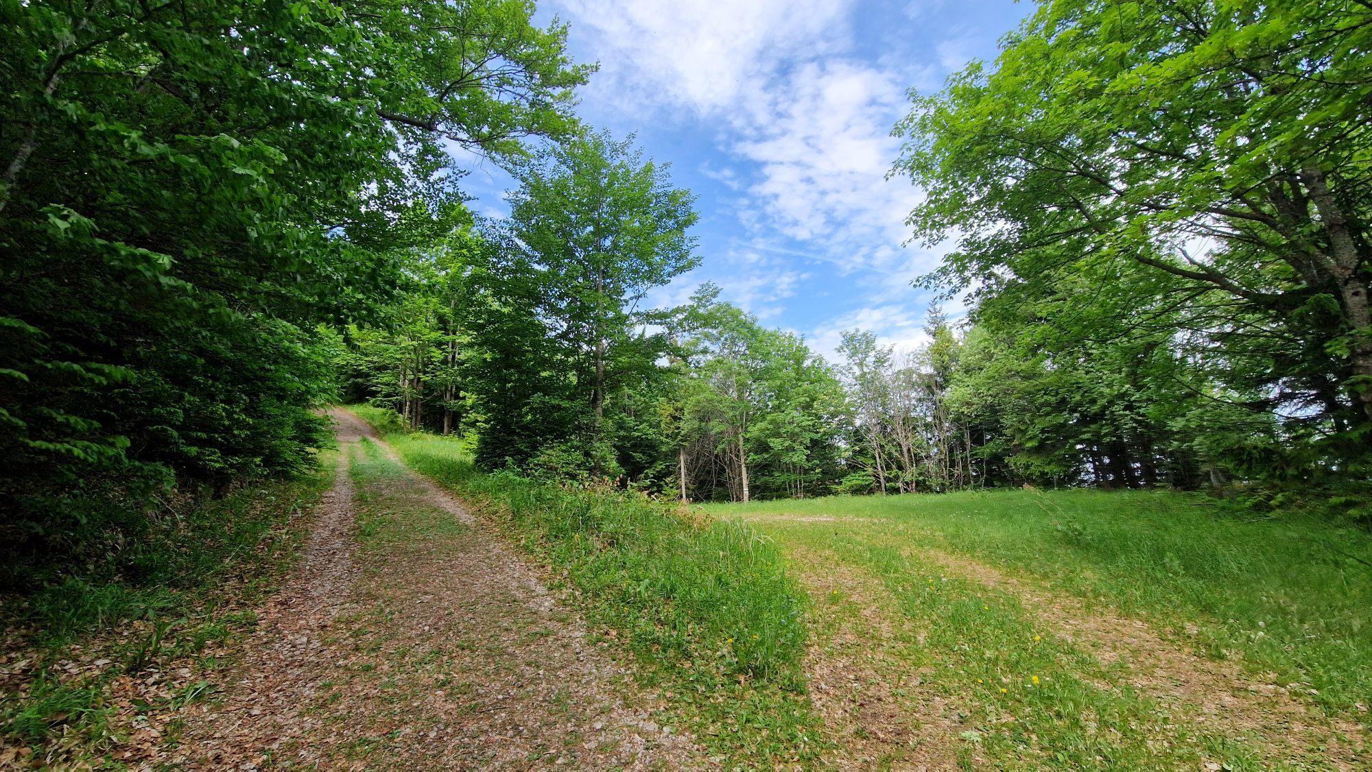
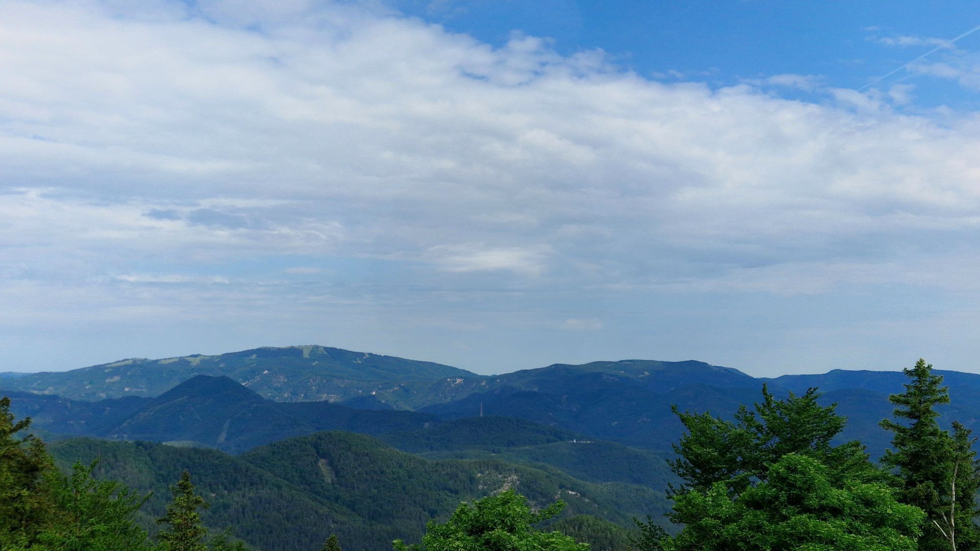
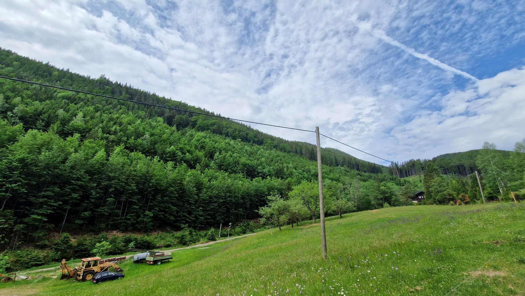
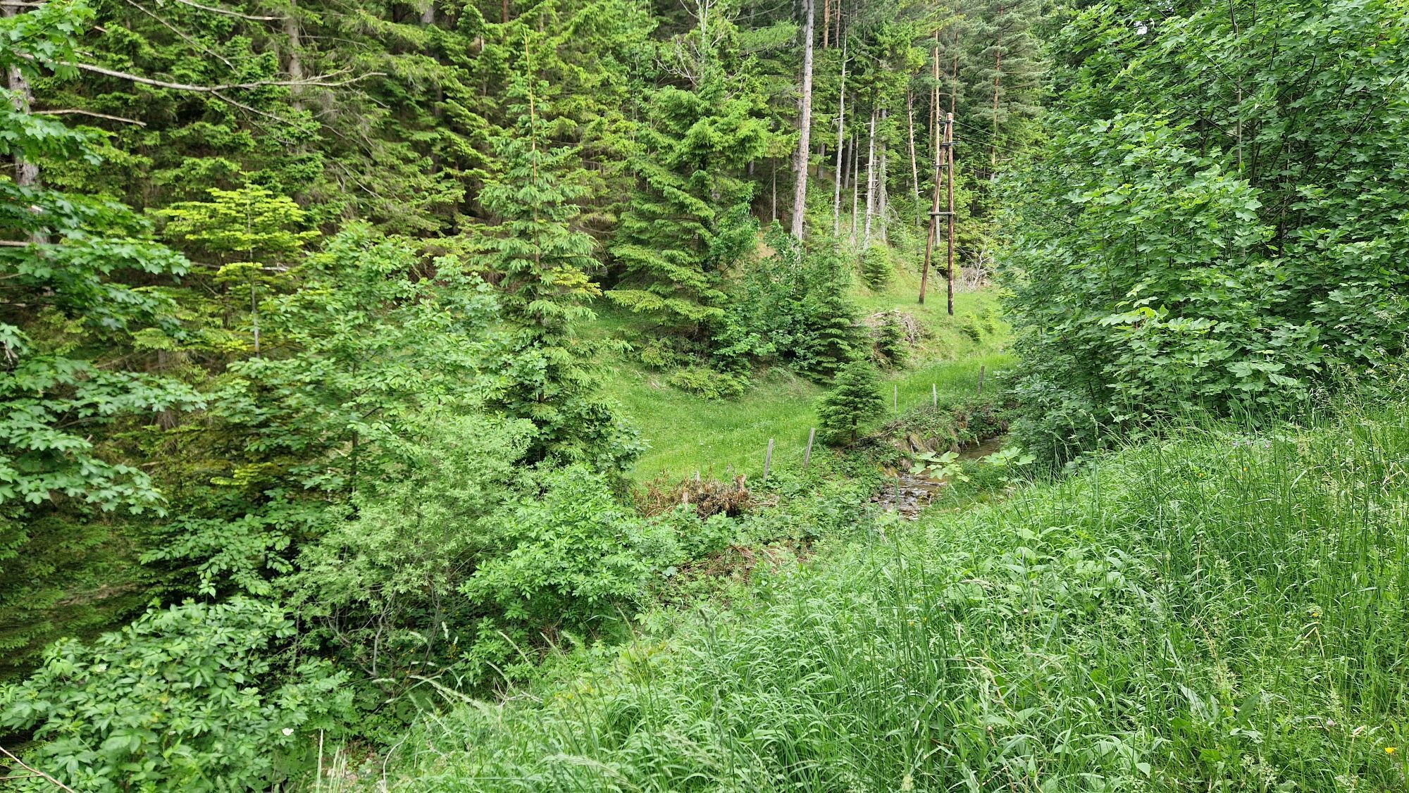
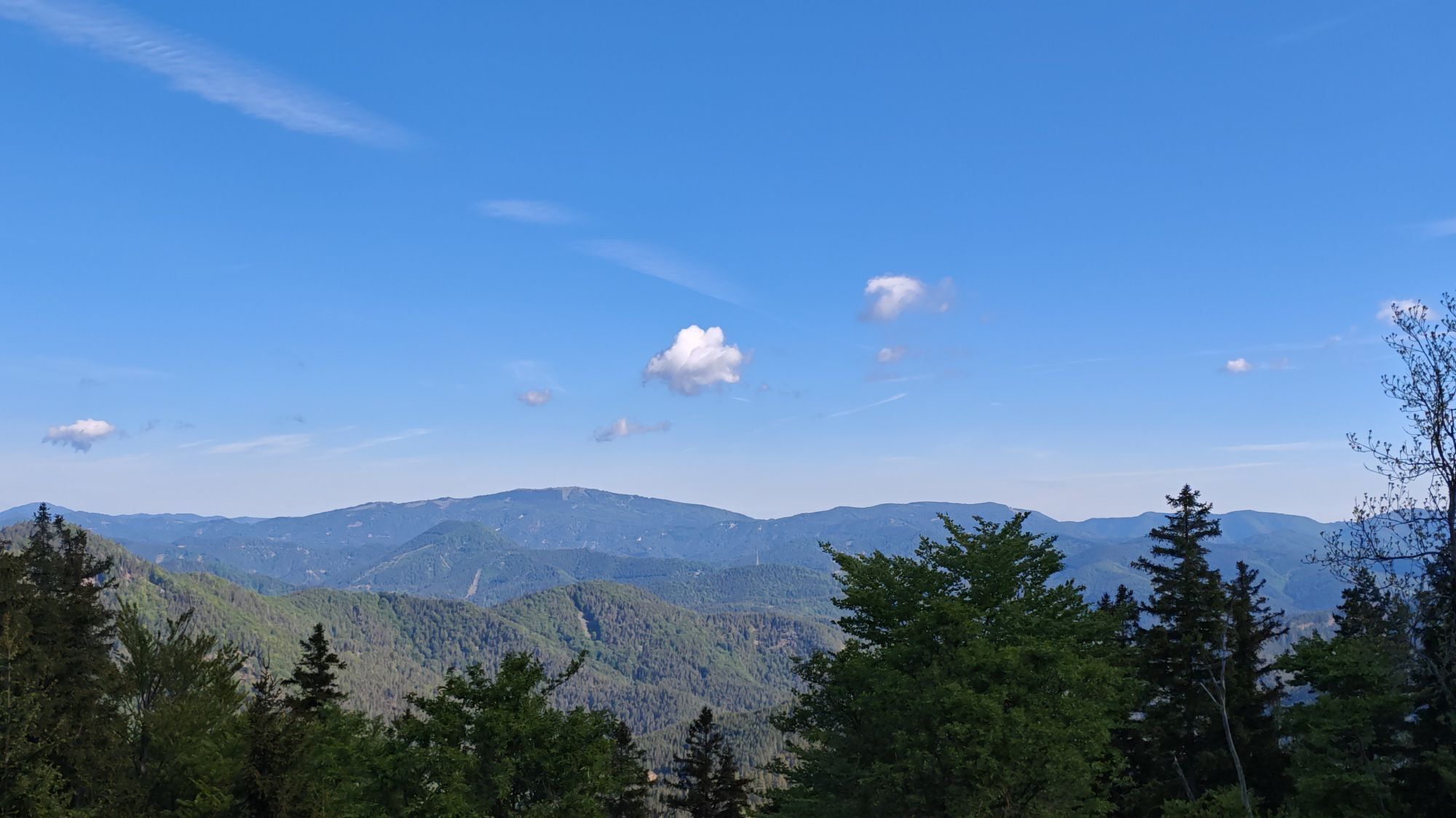
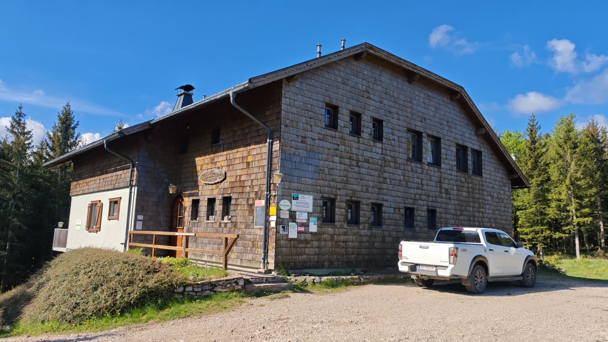
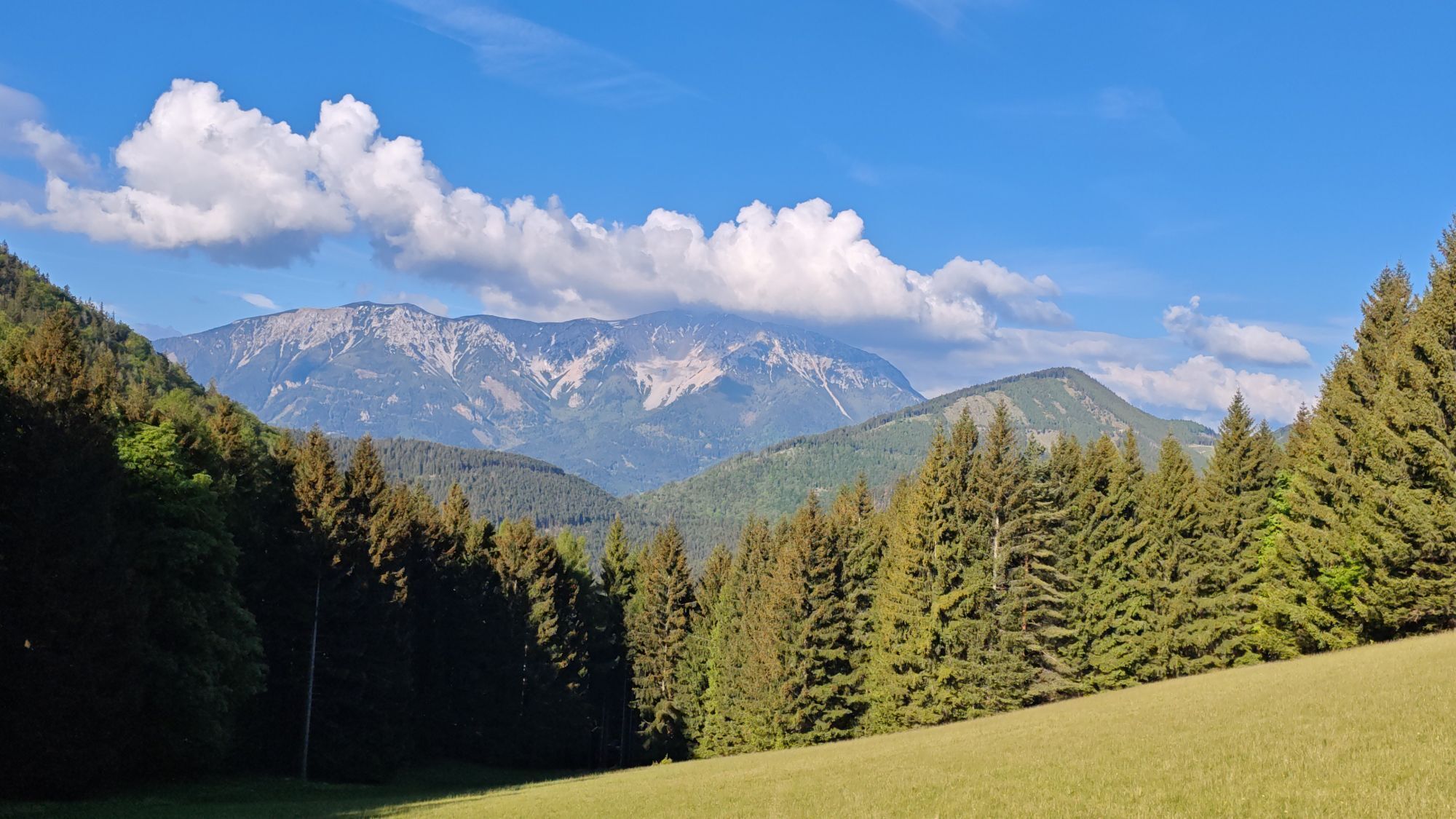
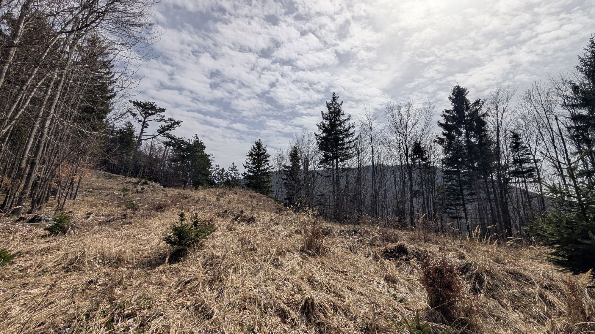
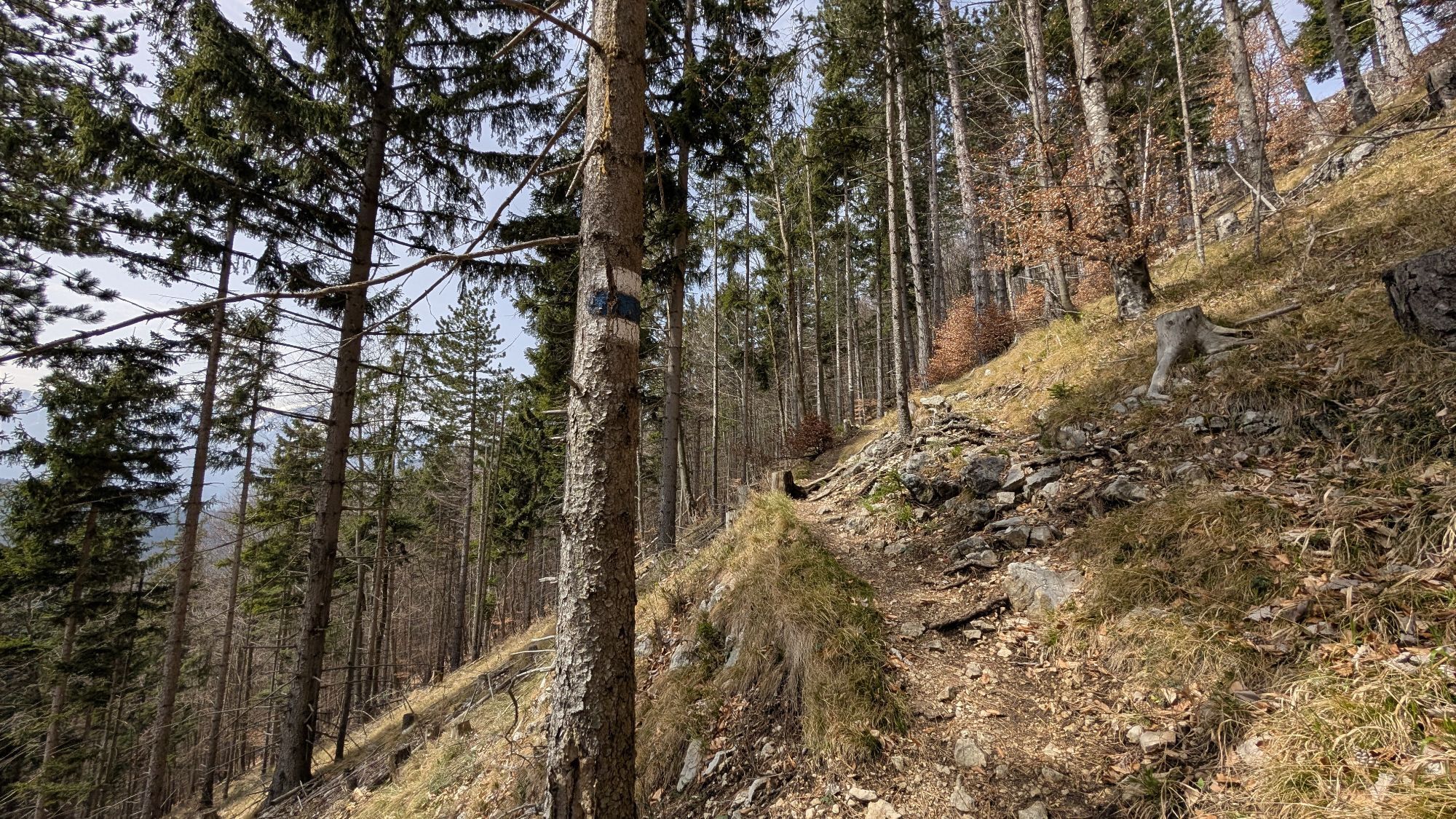
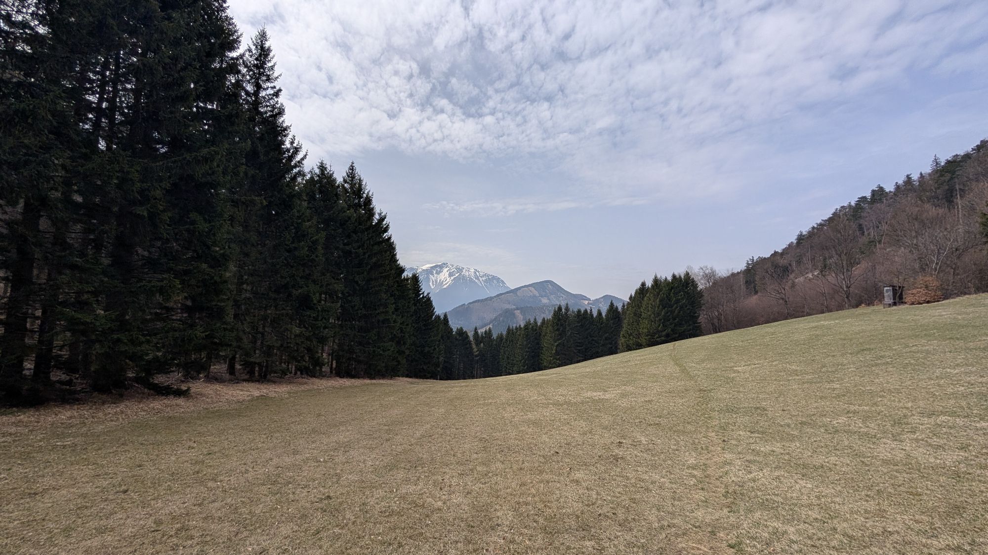
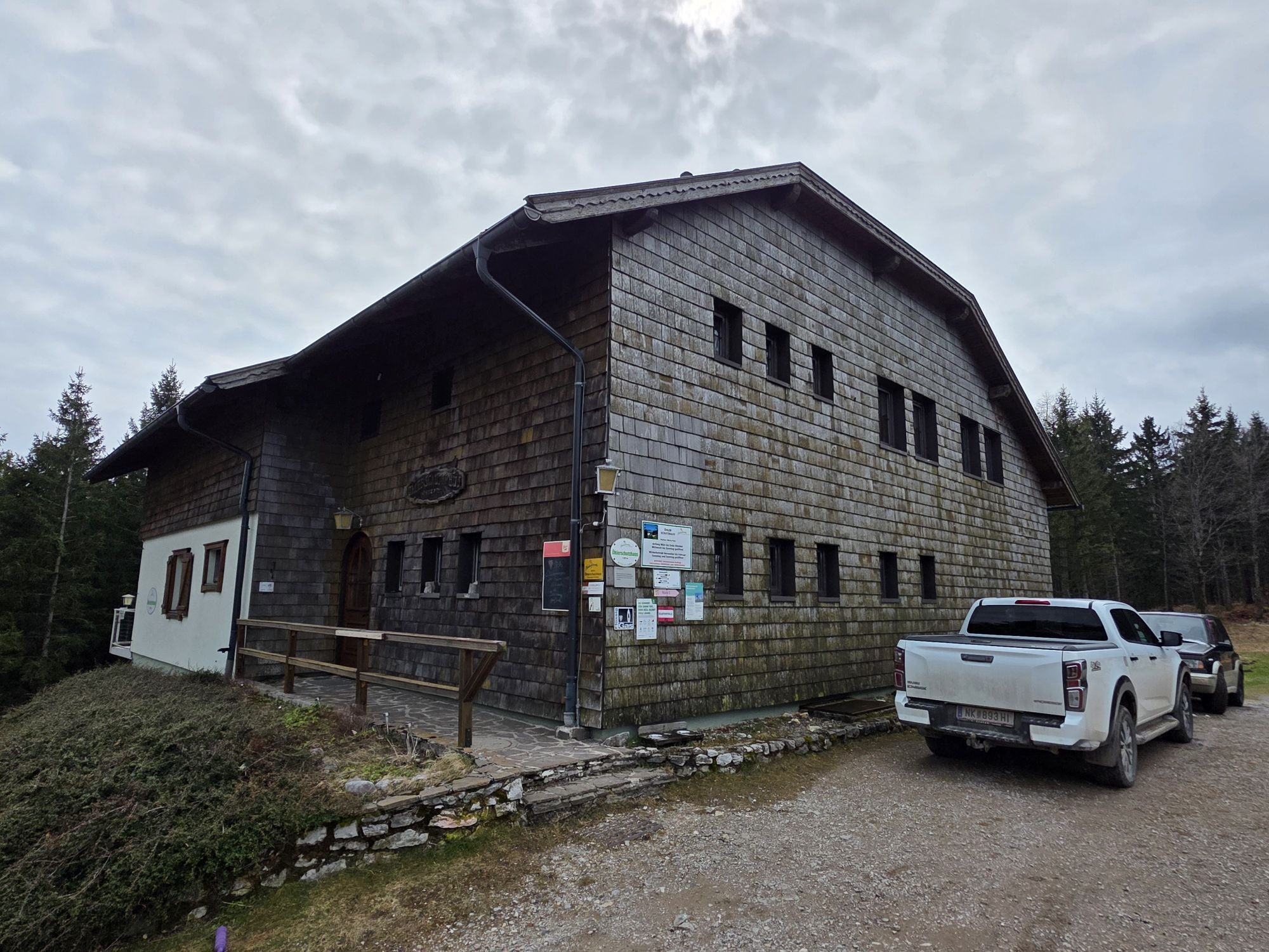
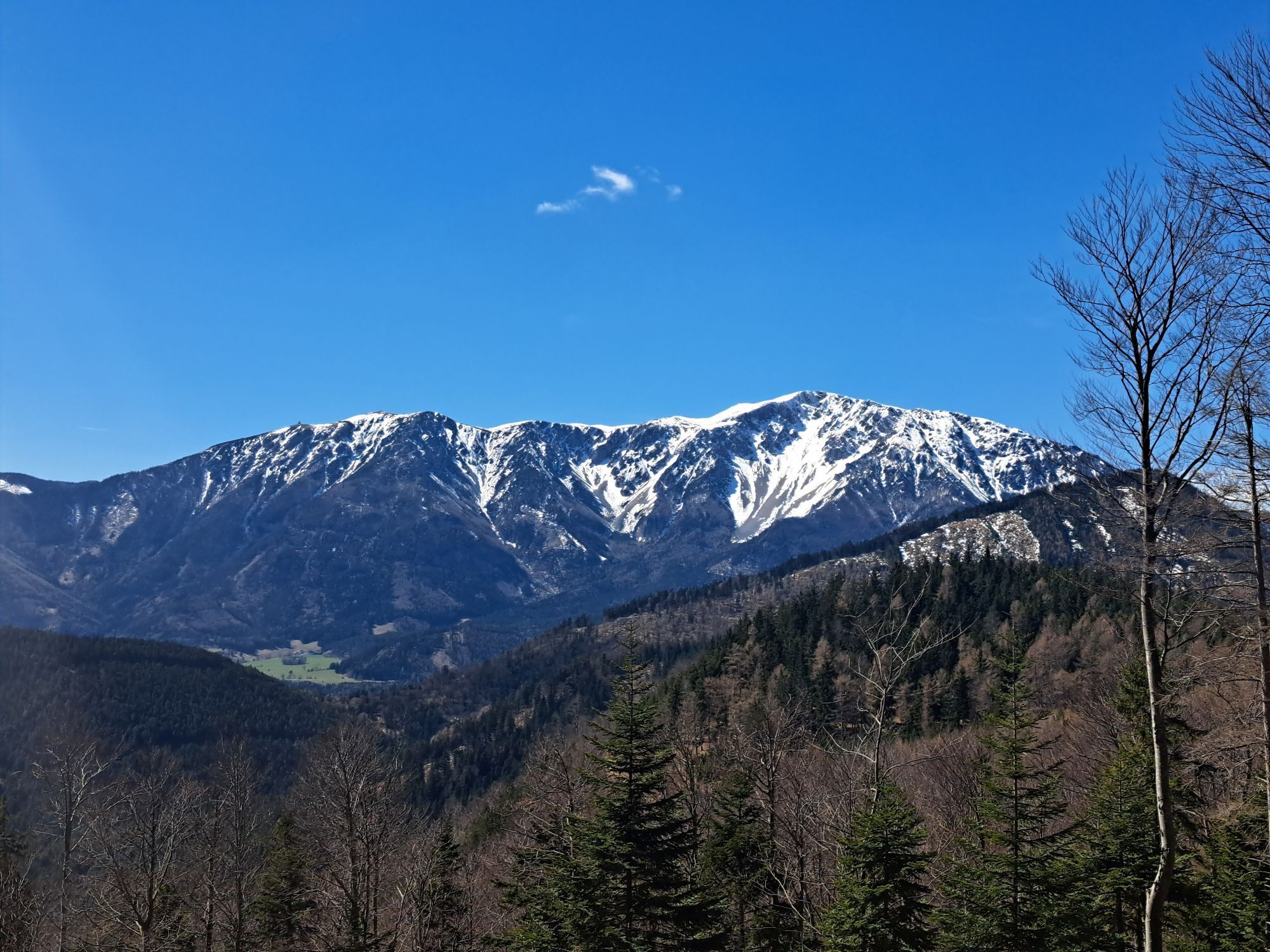
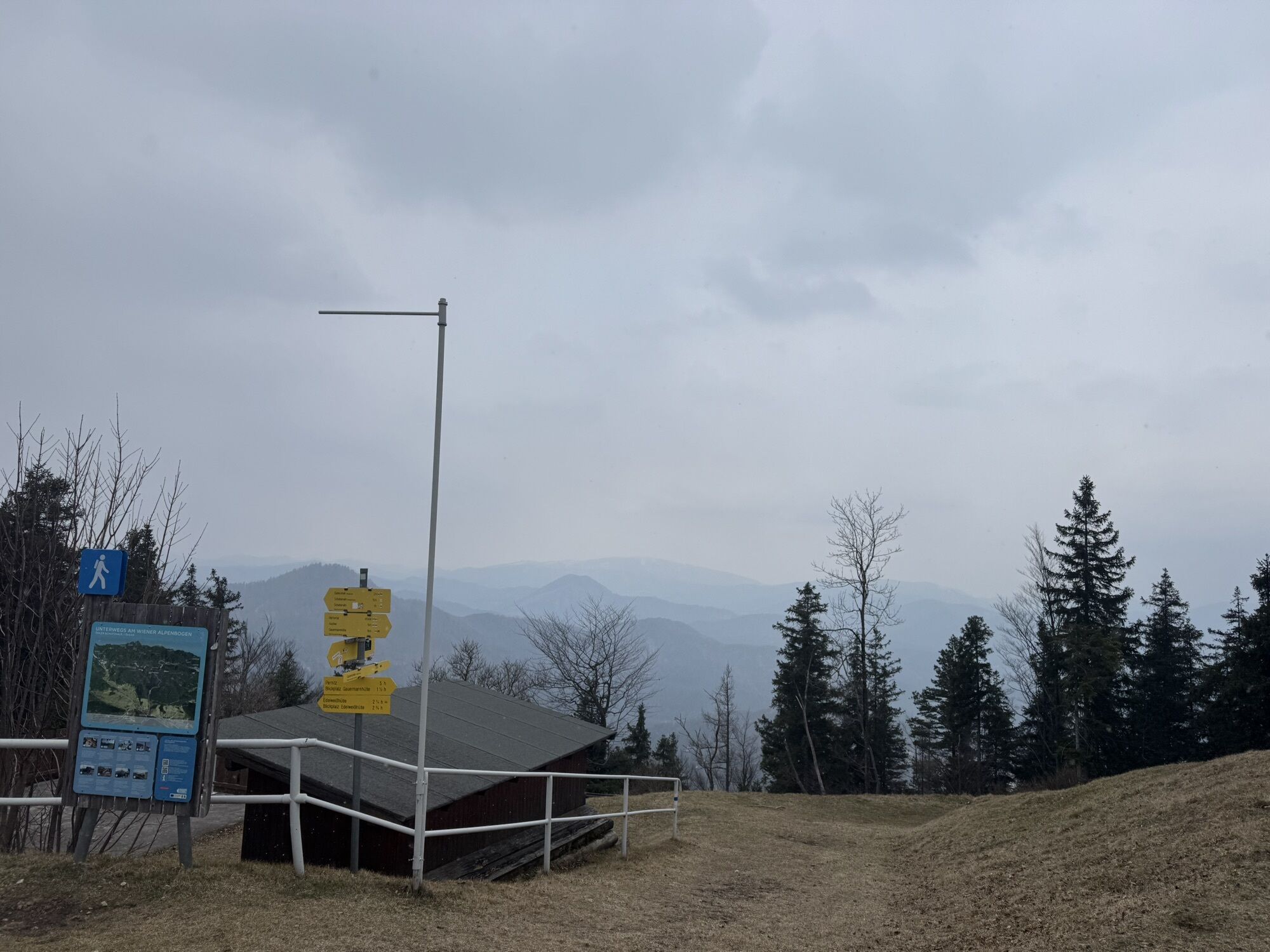
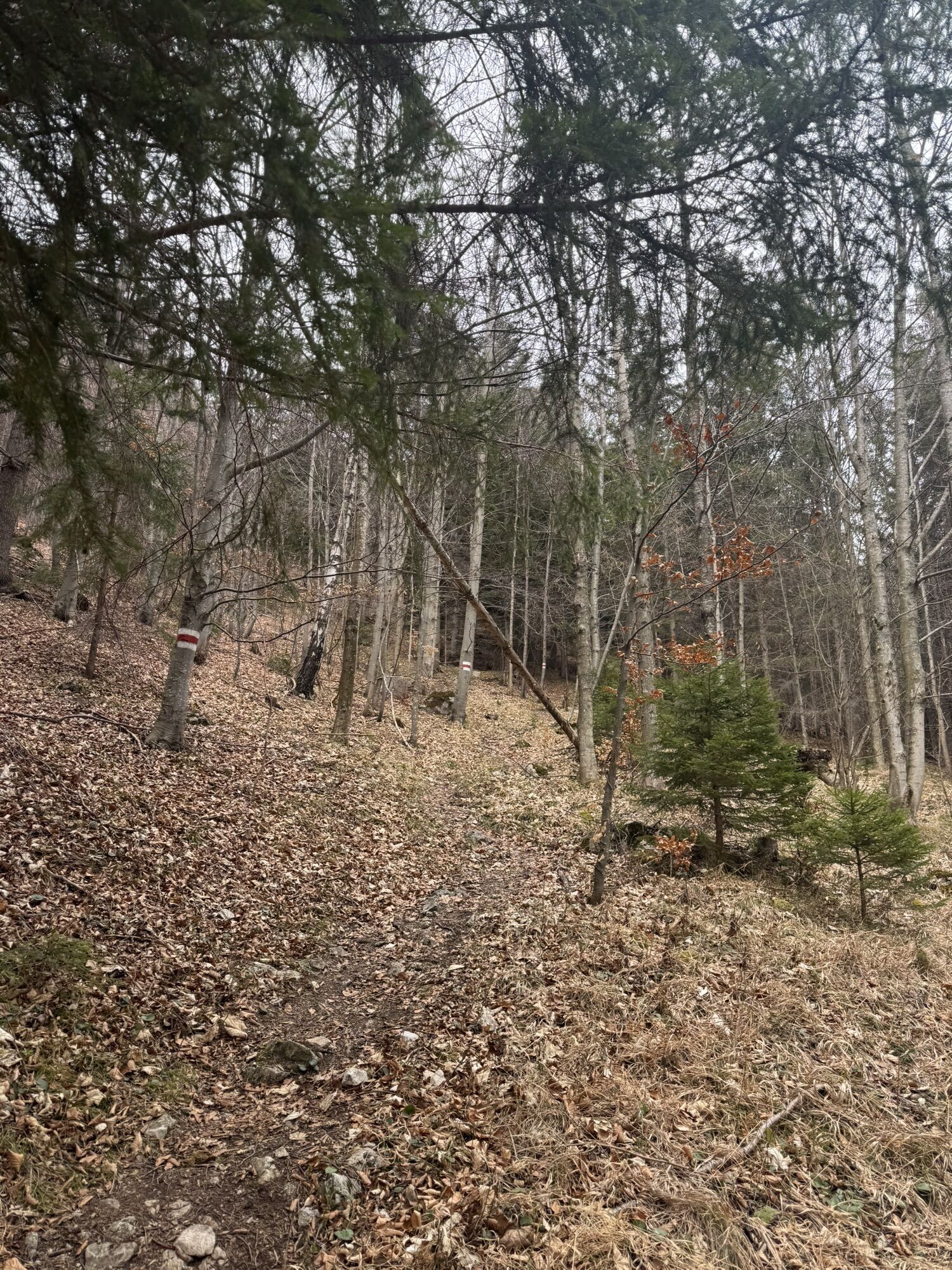
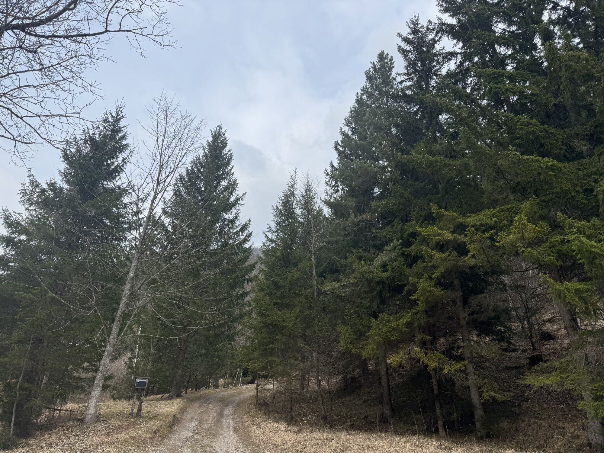
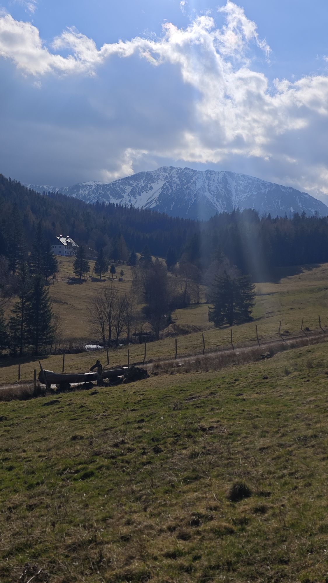
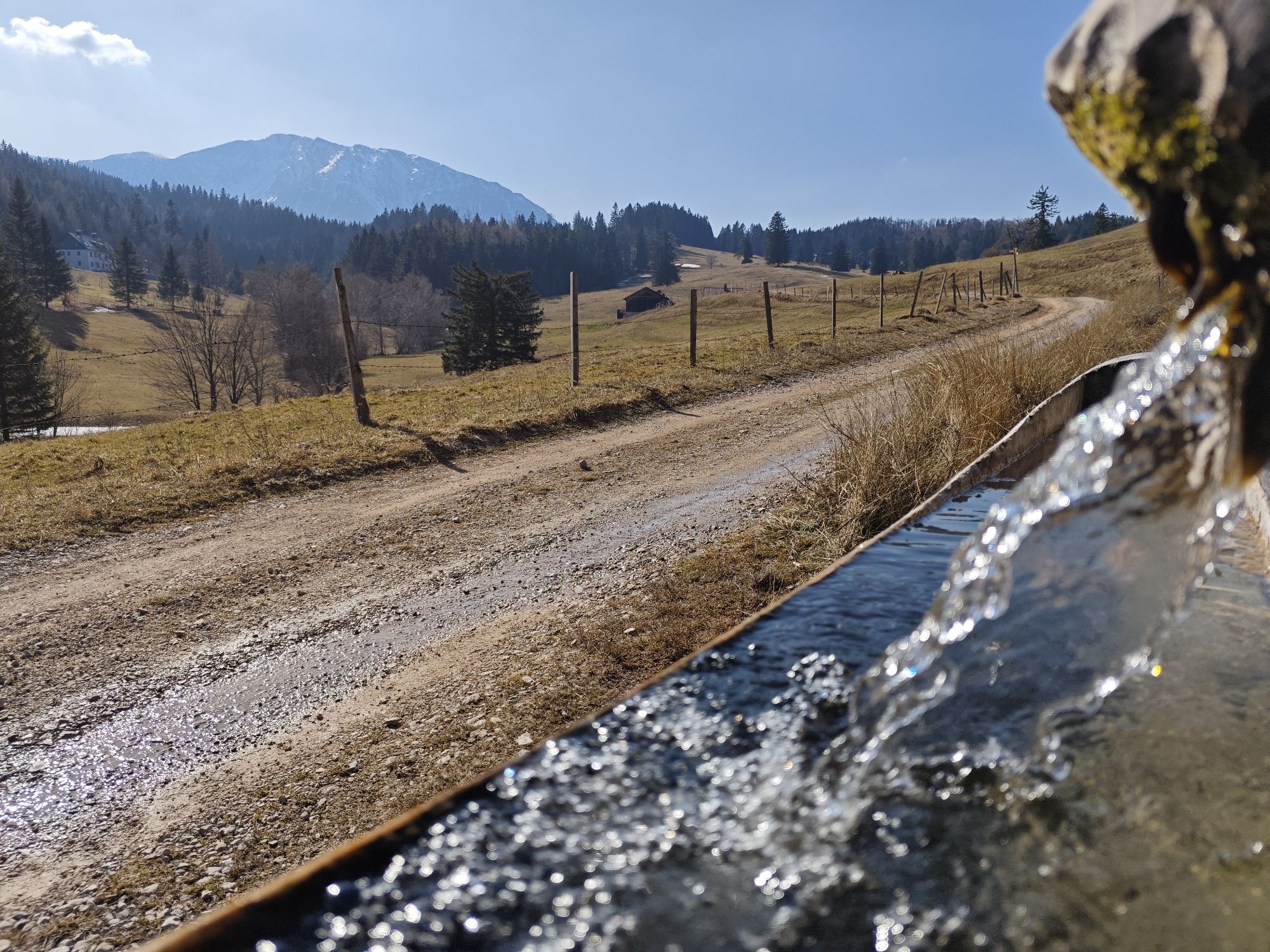
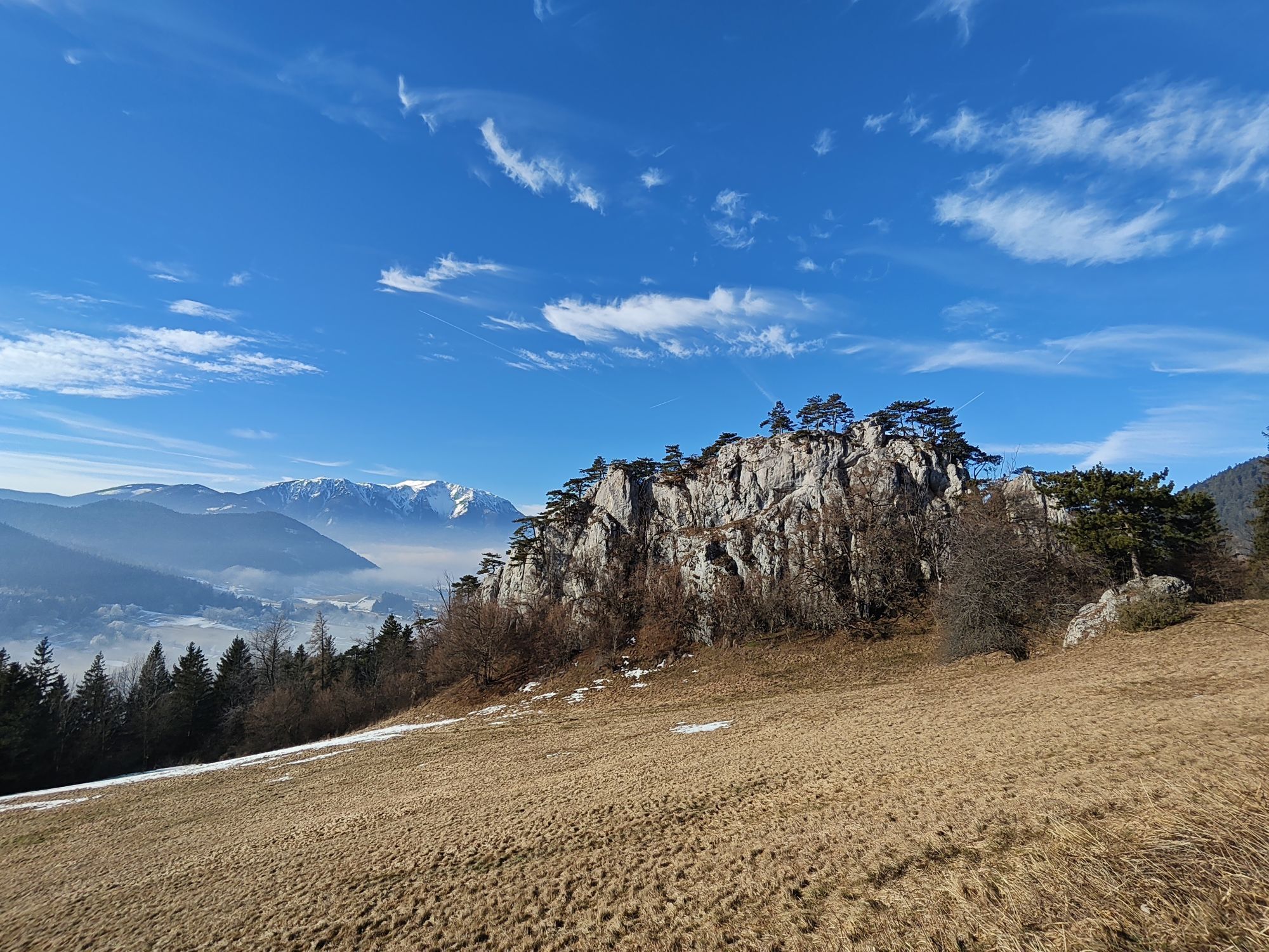
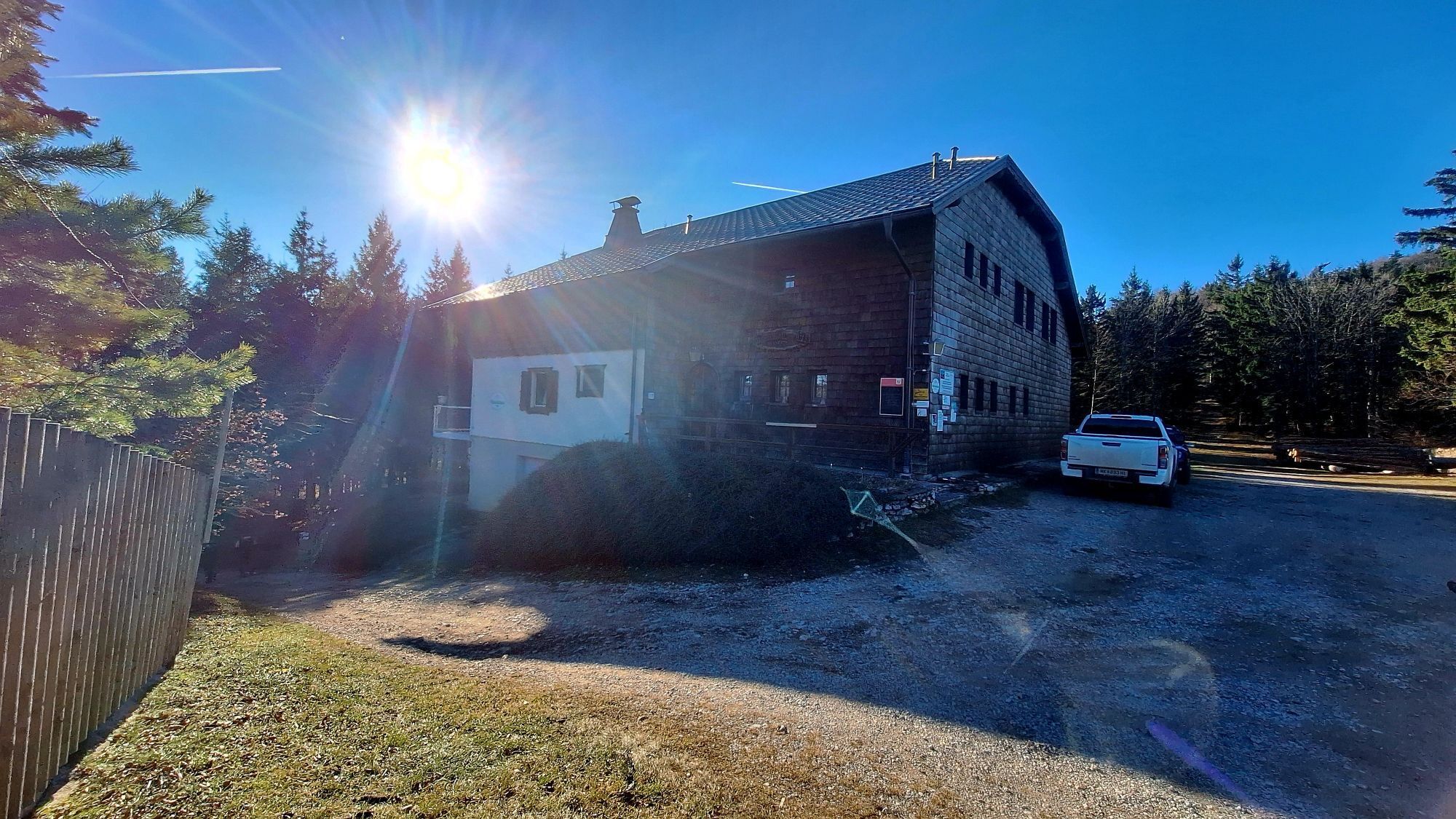
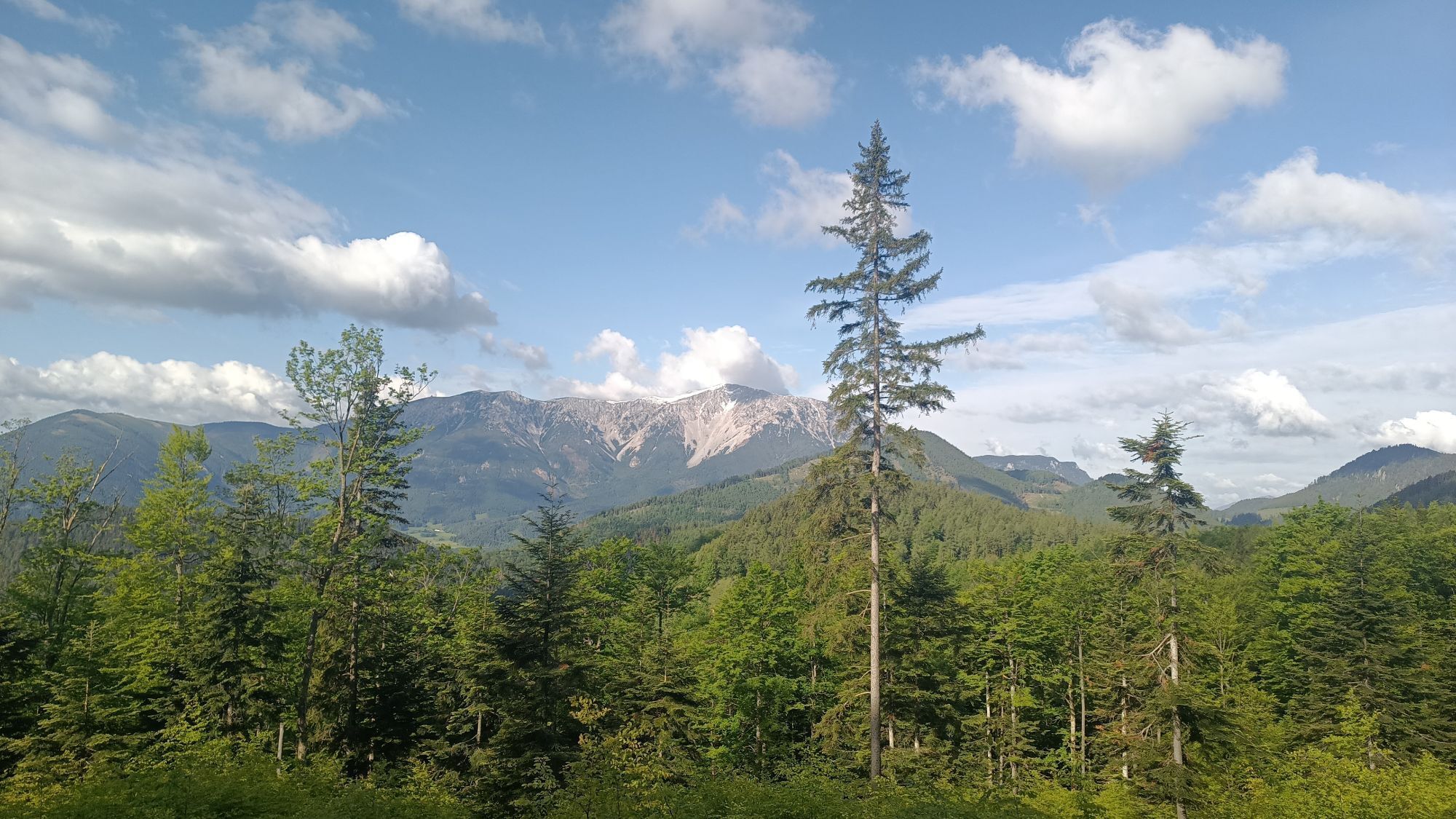
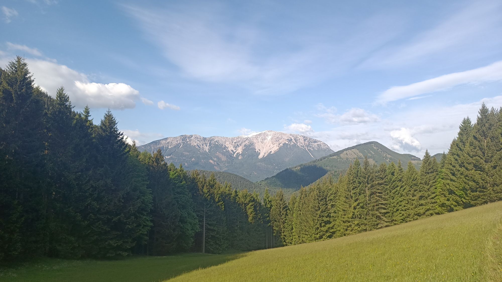
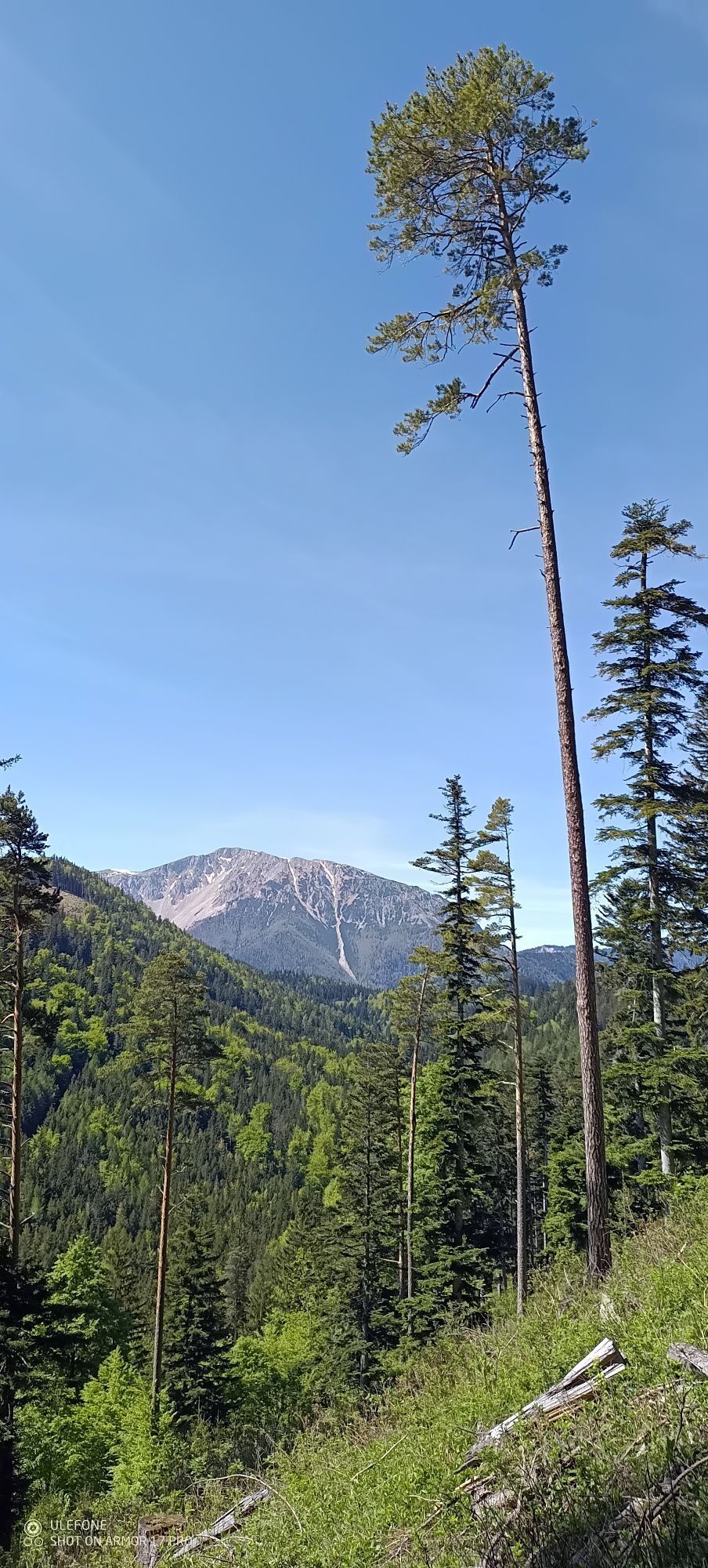
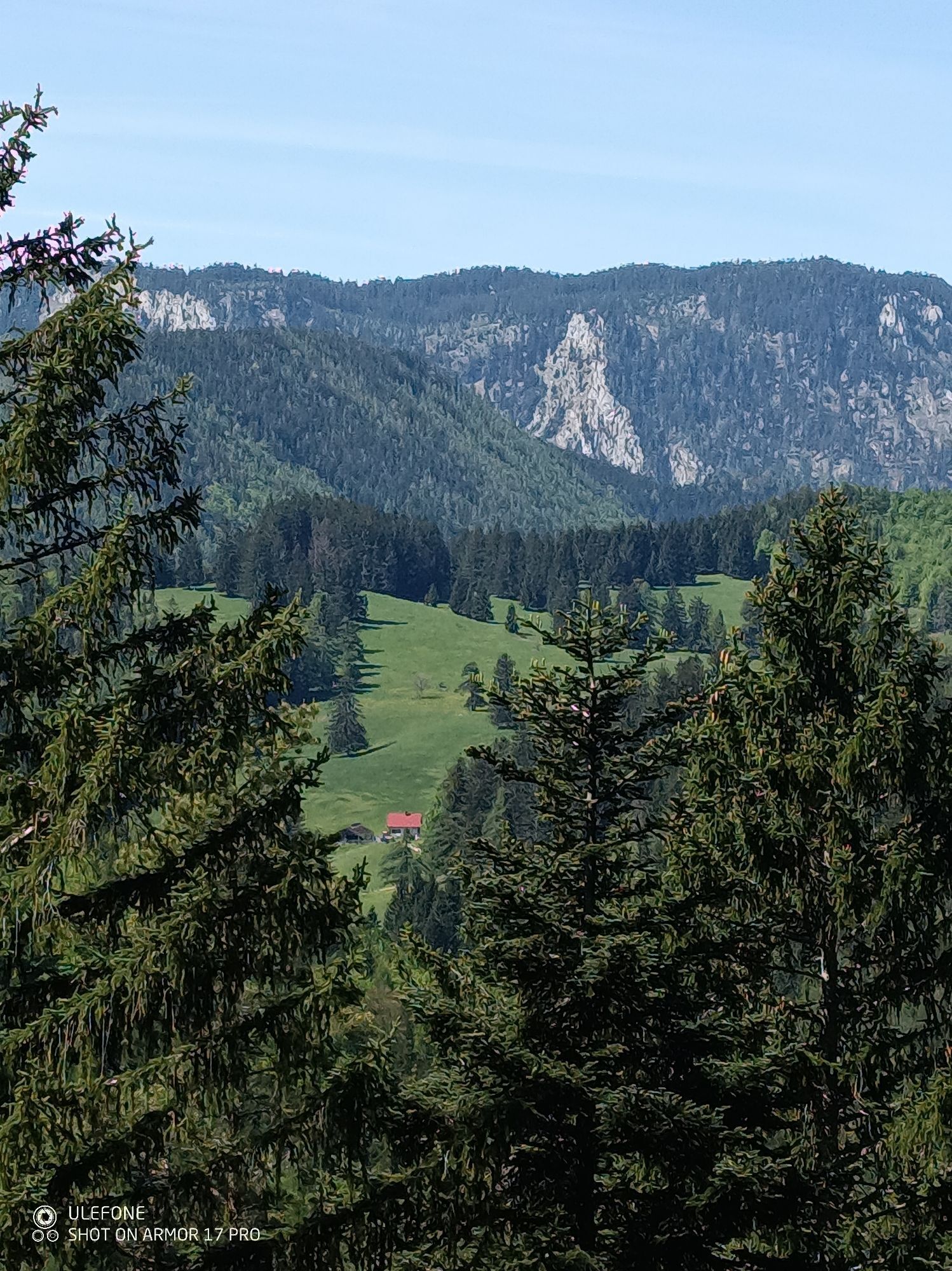

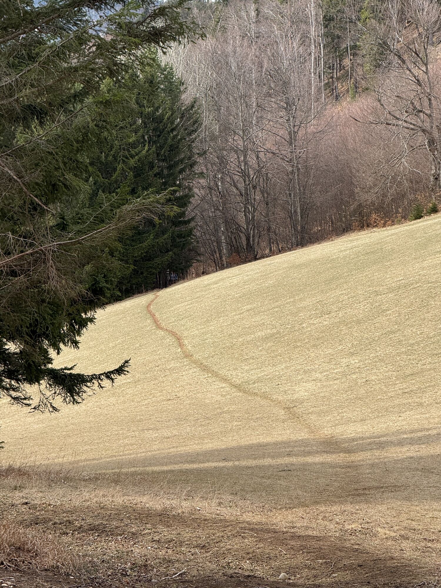
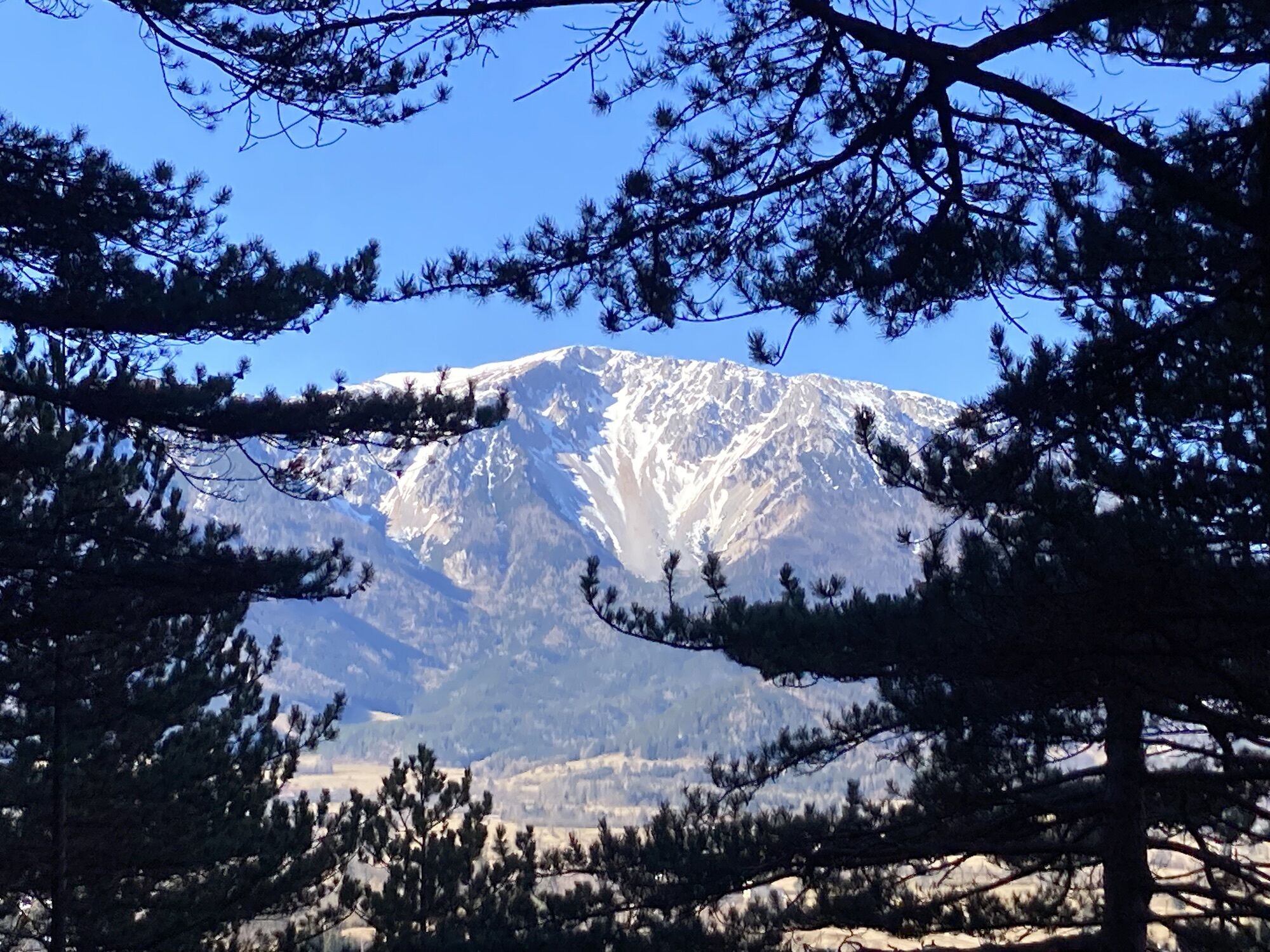
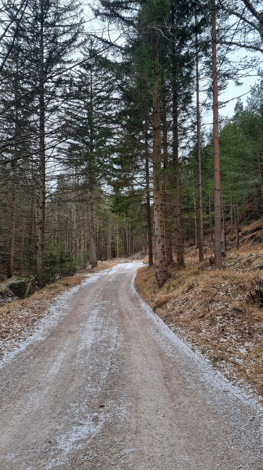
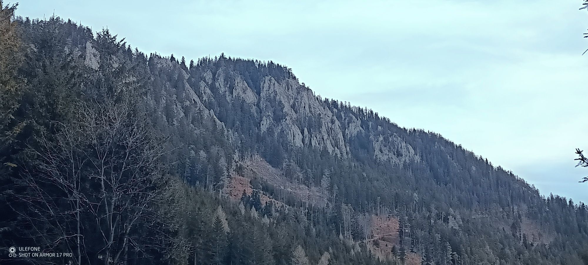
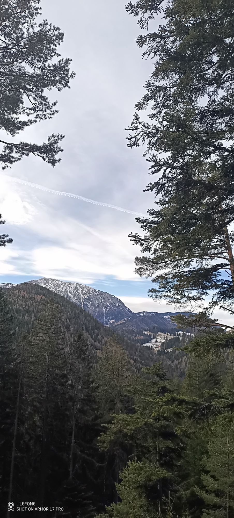
Ascent over the Haltberg to the "power place" of the Kaiserbenwiese from where you have a wonderful view of the Schneeberg. Excellent cuisine awaits you at the Öhlerschutzhaus. The descent via the Schoberalm...
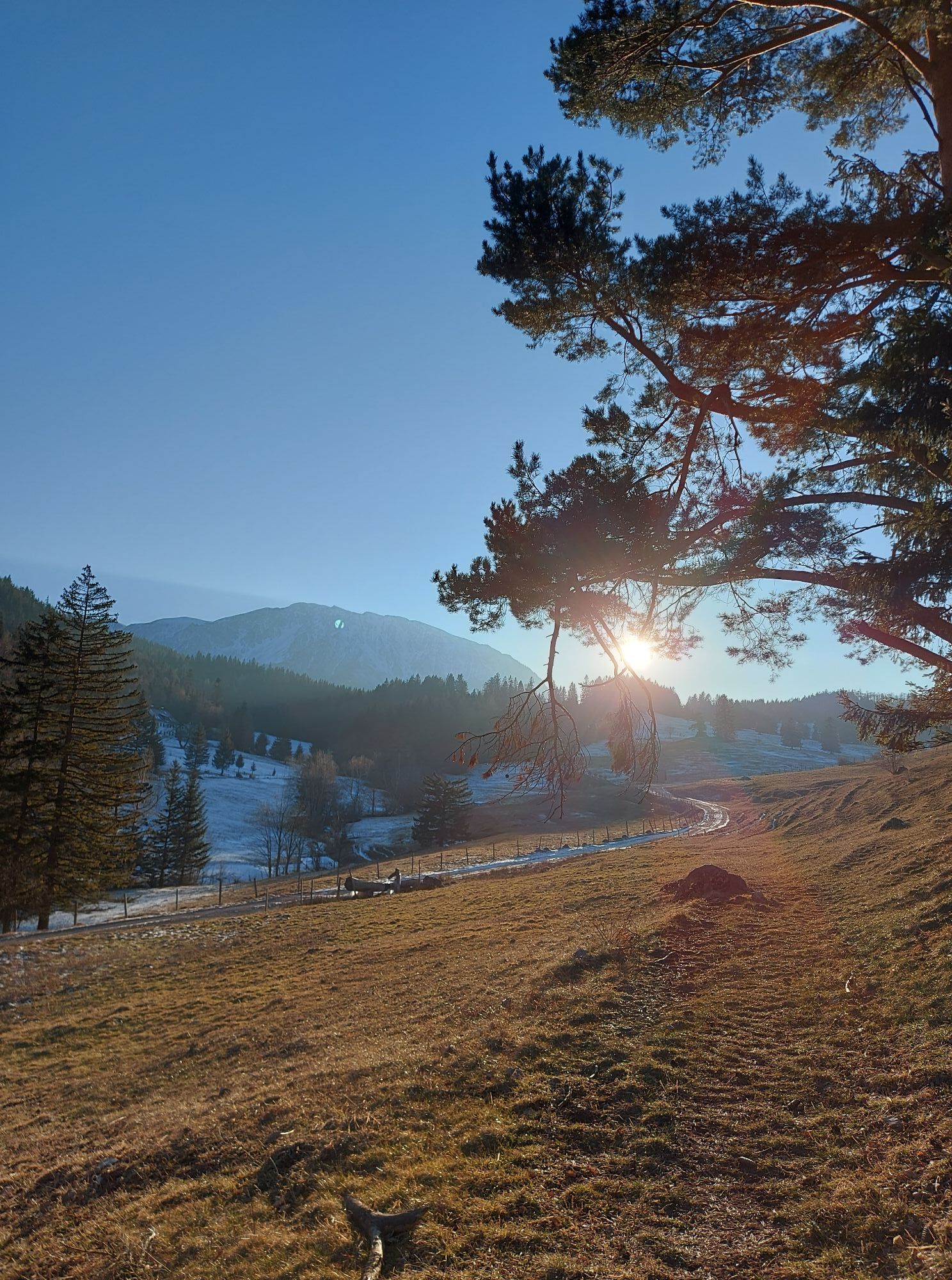
Ascent over the Haltberg to the "power place" of the Kaiserbenwiese from where you have a wonderful view of the Schneeberg. Excellent cuisine awaits you at the Öhlerschutzhaus. The descent via the Schoberalm or the shorter route via the "alen Öhlerweg" rewards you again and again with a view of the Schneeberg.

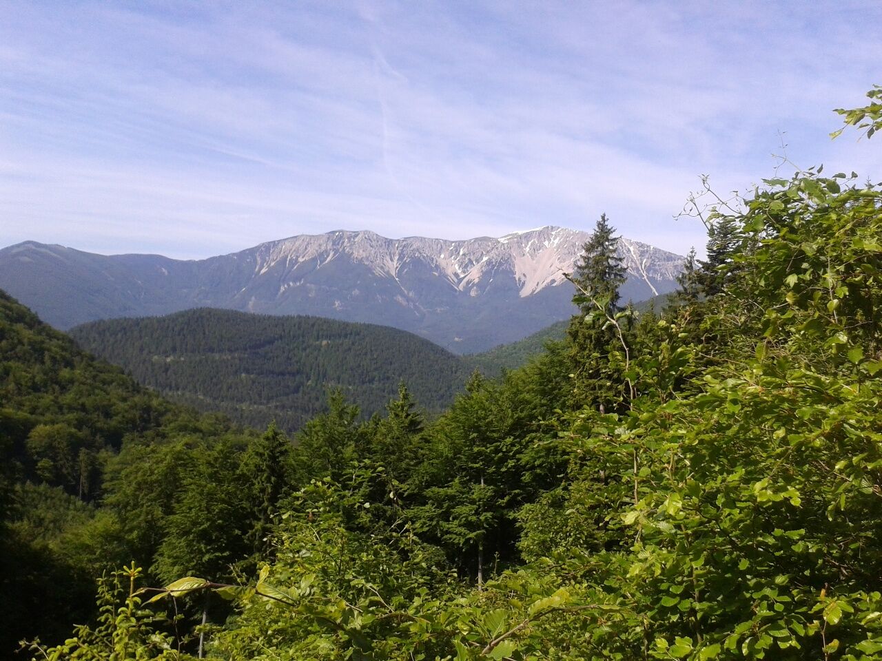

Head north along the main road to the Spar, then through the Sierning Valley to the turnoff for Ascher. Cross the Haltberg to the Kaiserebenwiese and around Öhler. Take the so-called Inmitzersteig to the Schoberalm and back to the starting point in Puchberg.
Sturdy hiking boots, a water bottle, rain gear, and possibly hiking poles.
From Wiener Neustadt or Neunkirchen via the A2
Take the ÖBB from Wiener Neustadt to the train station, or take the Retter Linie from Neunkirchen to Puchberg.
Right next to the Schneeberghalle parking lot
Person responsible for the content of this tour
Wiener Alpen in Lower Austria - Schneeberg Hohe Wand
Last update: 25.09.2023
Uzyskaj wgląd
Zawsze na żywo z ponad 9 500 kamer internetowych. bergfex Jako użytkownik Pro, możesz teraz zobaczyć odpowiednie kamery internetowe dla wielu wycieczek w aplikacji wycieczki od. Pozwala to na bezpośredni podgląd aktualnych warunków.


Popularne wycieczki w okolicy
-
4,7
Losenheim: Edelweißhütte - Fadensteig - Fischerhütte
średniWędrówka 11,5 km -
4,7
Zahnradbahn und Wandern am Schneeberg - Plateauwanderung
średniWędrówka 6,90 km -
4,8
Cultural walk Payerbach-Reichenau
światłoWędrówka 7,43 km -
5,0
Insider tip: Schneeberg via the Novembergrat
ciężkiWędrówka 13,5 km -
4,9
"Über den höchsten Nieder-Ösi" - Schneeberg - Weichtalklamm - Klosterwappen - Stadlwandleiten
średniWędrówka 17,7 km -
4,9
"Weichtalklamm" über Stock und Stein durch das Höllental - Weichtalhaus - Kientallerhütte 1340m
średniWędrówka 14,0 km -
4,9
SCHNEEBERG Losenheim Nandlgrat Klosterwappen Fadenweg 28.09.2017
ciężkiWędrówka 15 km -
4,9
Flatzer Wand Wanderung
światłoWędrówka 5,62 km -
4,8
Schneeberggebiet: Ein Stückchen am Wasserleitungsweg im Höllental
światłoWędrówka 2,64 km -
4,8
ÖTK Klettersteig (vormals HTL Klettersteig) und Blutspur (D/E)
ciężkiVia ferrata 1,41 km

Wędrówki i tropienie


Nie przegap ofert i inspiracji na następne wakacje
Twój adres e-mail została dodana do listy mailingowej.





