


"To Größenberg" - Winzendorf circular hiking route No. 7
Zdjęcia naszych użytkowników
-
 © Markus BrichtaUtworzono dnia 25.04.2026
 -
 © Markus BrichtaUtworzono dnia 25.04.2026
 -
 © Markus BrichtaUtworzono dnia 25.04.2026
 -
 © Maria BraunmüllerUtworzono dnia 26.02.2026
 -
 © Georgiamartin0815Utworzono dnia 04.01.2026
 -
 © Georgiamartin0815Utworzono dnia 04.01.2026
 -
 © Markus OrtnerUtworzono dnia 09.11.2025
 -
 © Lydia PritzovaUtworzono dnia 16.03.2025
 -
 © BergpiratUtworzono dnia 01.12.2024
 -
 © BergpiratUtworzono dnia 01.12.2024
 -
 © BergpiratUtworzono dnia 01.12.2024
 -
 © BergpiratUtworzono dnia 01.12.2024
 -
 © BergpiratUtworzono dnia 01.12.2024
 -
 © BergpiratUtworzono dnia 01.12.2024
 -
 © BergpiratUtworzono dnia 01.12.2024
 -
 © BergpiratUtworzono dnia 06.03.2024
 -
 © BergpiratUtworzono dnia 06.03.2024
 -
 © BergpiratUtworzono dnia 06.03.2024
 -
 © BergpiratUtworzono dnia 06.03.2024
 -
 © Claudia MaurerUtworzono dnia 27.02.2024
 -
 © Robert KremlickaUtworzono dnia 03.08.2023
 -
 © Kellner HeidiUtworzono dnia 02.01.2022
 -
 © Kellner HeidiUtworzono dnia 02.01.2022
 -
 © Kellner HeidiUtworzono dnia 05.12.2020
 -
 © Ewa JagielloUtworzono dnia 23.03.2025
 -
 © Ewa JagielloUtworzono dnia 23.03.2025
 -
 © Ewa JagielloUtworzono dnia 23.03.2025
 -
 © Ewa JagielloUtworzono dnia 23.03.2025
 -
 © Ewa JagielloUtworzono dnia 23.03.2025
 -
 © Marlies BerweinUtworzono dnia 19.06.2023
 -
 © Marlies BerweinUtworzono dnia 19.06.2023
 -
 © Marlies BerweinUtworzono dnia 19.06.2023
 -
 © Marlies BerweinUtworzono dnia 19.06.2023
 -
 © Marlies BerweinUtworzono dnia 19.06.2023
 -
 © xmann2Utworzono dnia 04.05.2024
 -
 © xmann2Utworzono dnia 04.05.2024
 -
 © xmann2Utworzono dnia 04.05.2024
 -
 © xmann2Utworzono dnia 04.05.2024

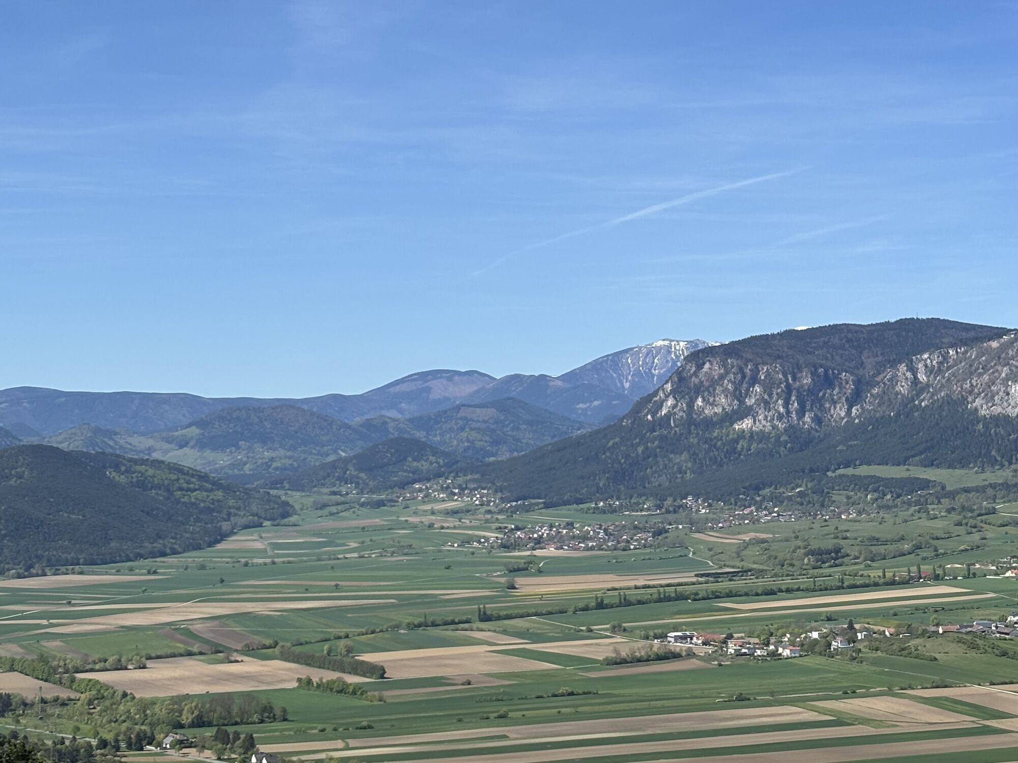


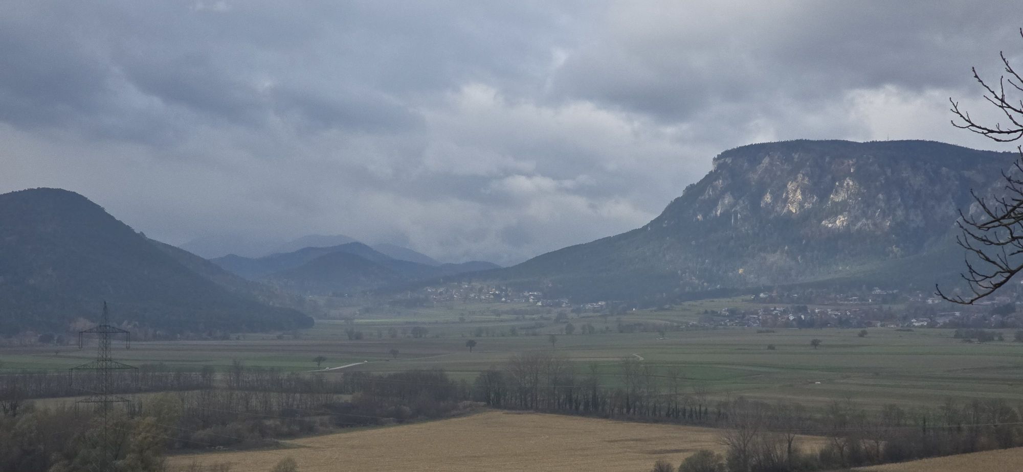

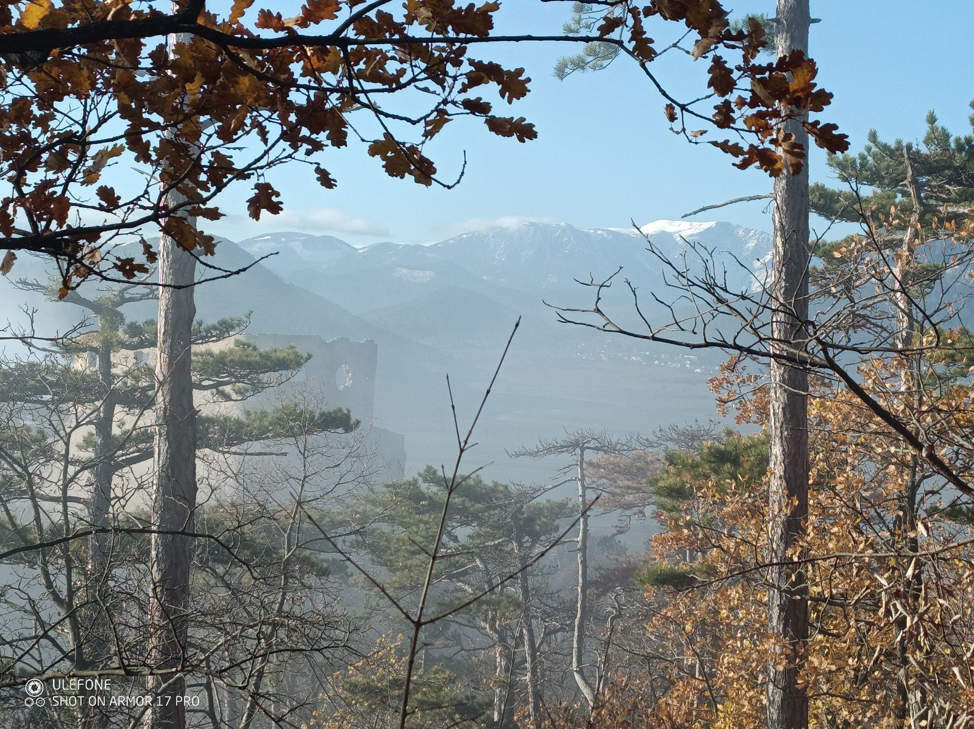

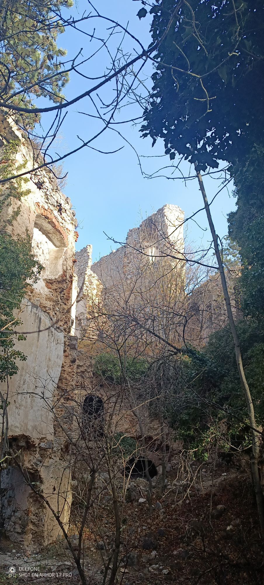

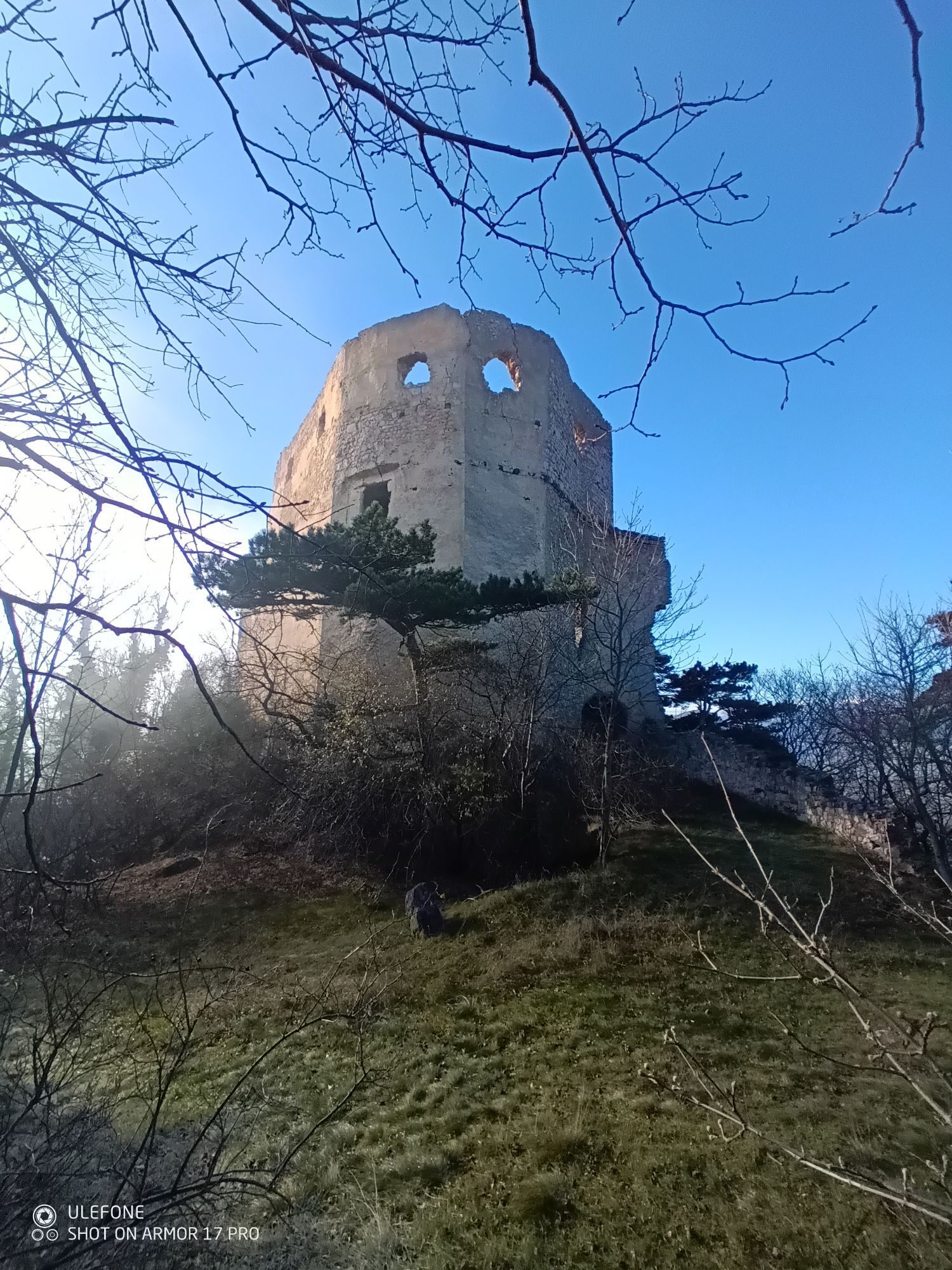


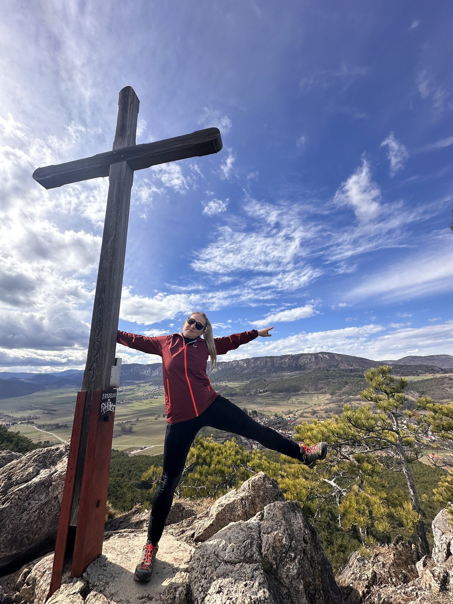

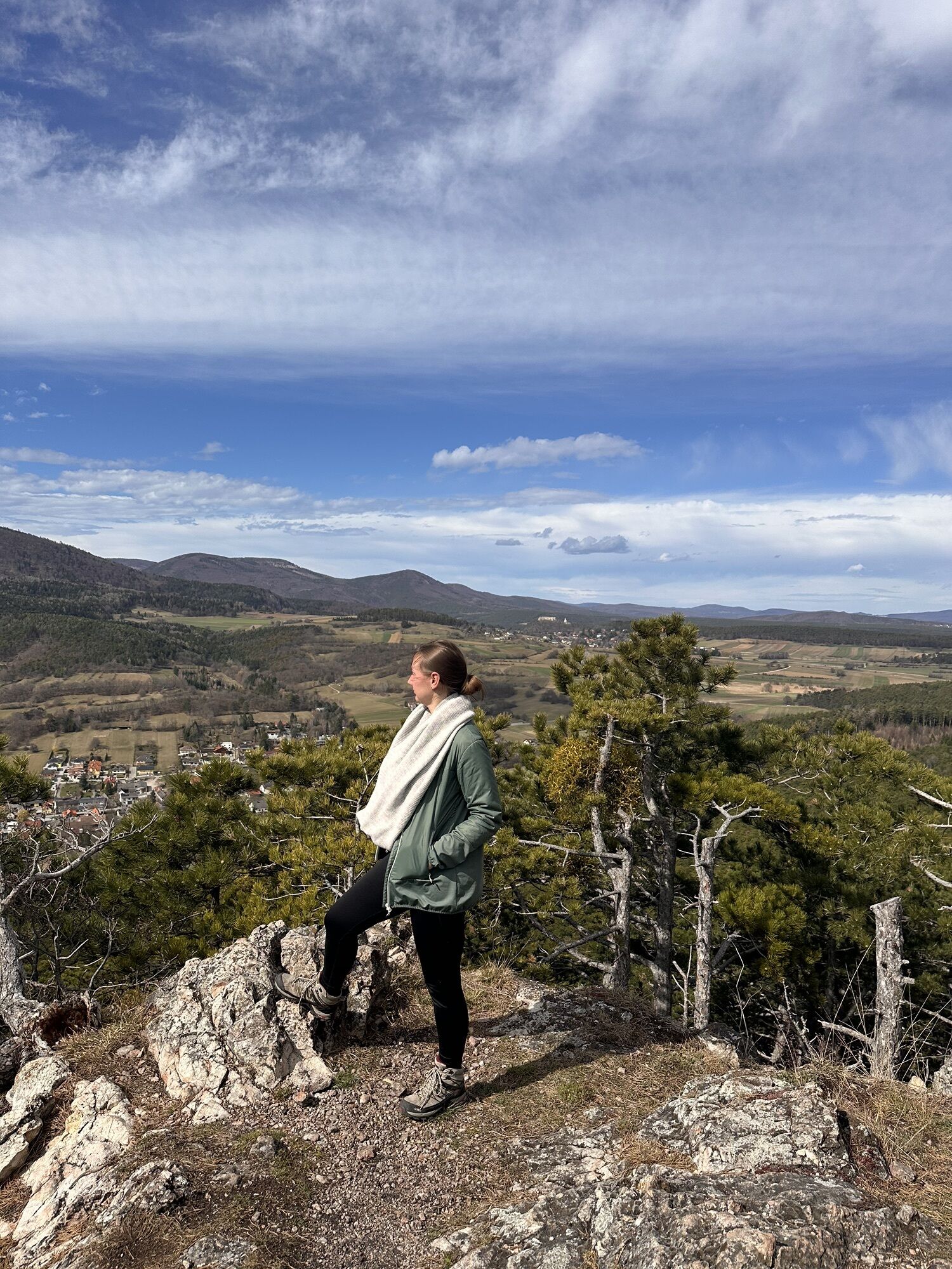


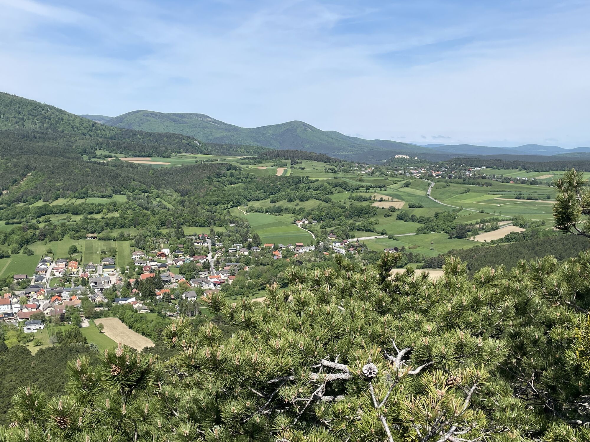
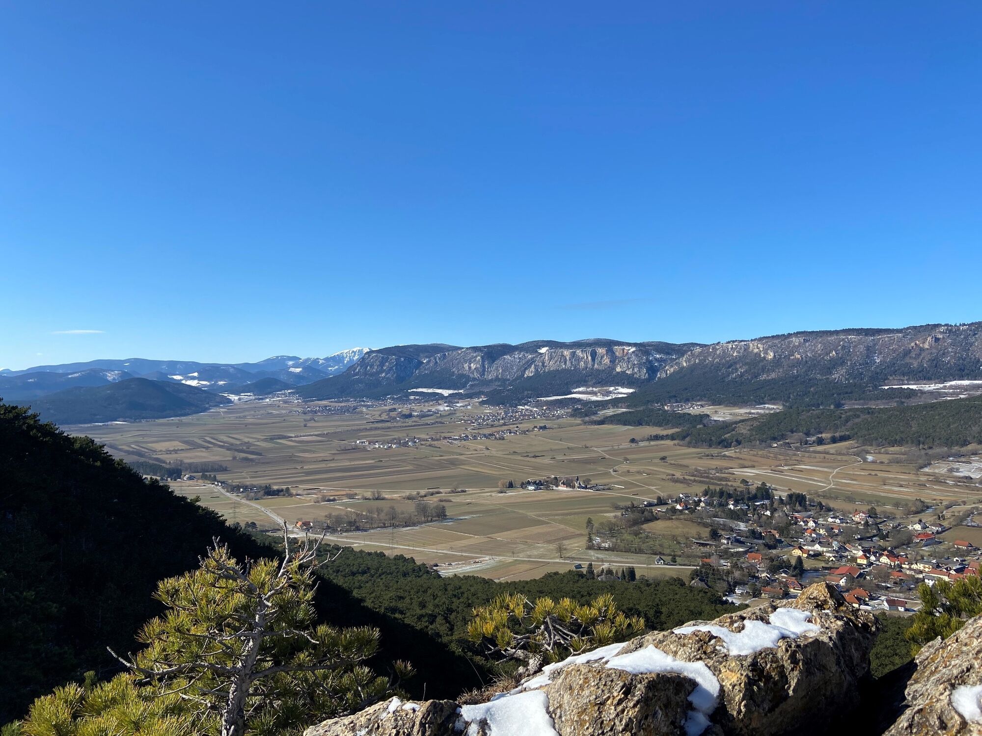
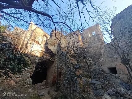
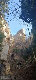
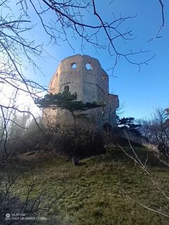
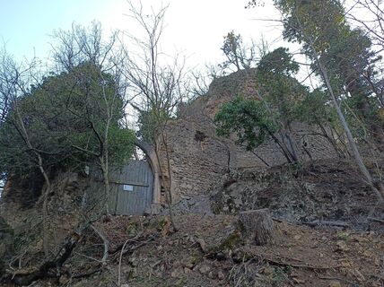
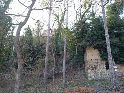
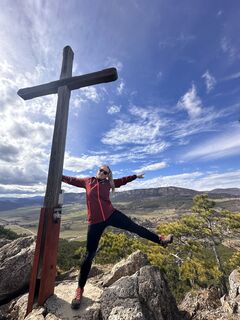
Train station – along the anniversary trail through the Prosset gorge – after wooden bridge turn right, 300 m on the sidewalk, before house no. 12 turn left uphill, red marking – at Emmerberg ruin turn left downhill to forest edge – right Emmerberg path – to Wolfsgraben – Steinschütt – downhill to Muthmanssdorf – return at the marble fountain (Burgstallstraße) turn right uphill – yellow marking, following right red marking – ascent and descent Größenberg – right past Zechleiten and Wolfsgraben – descent via Hausberg to the train station.
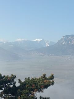
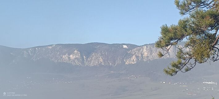
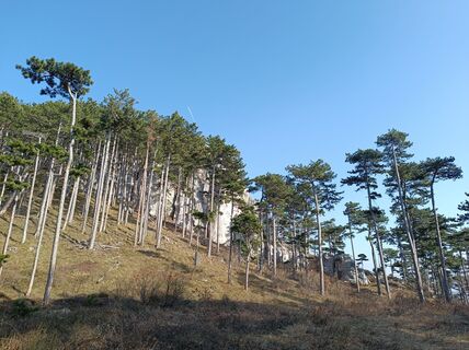
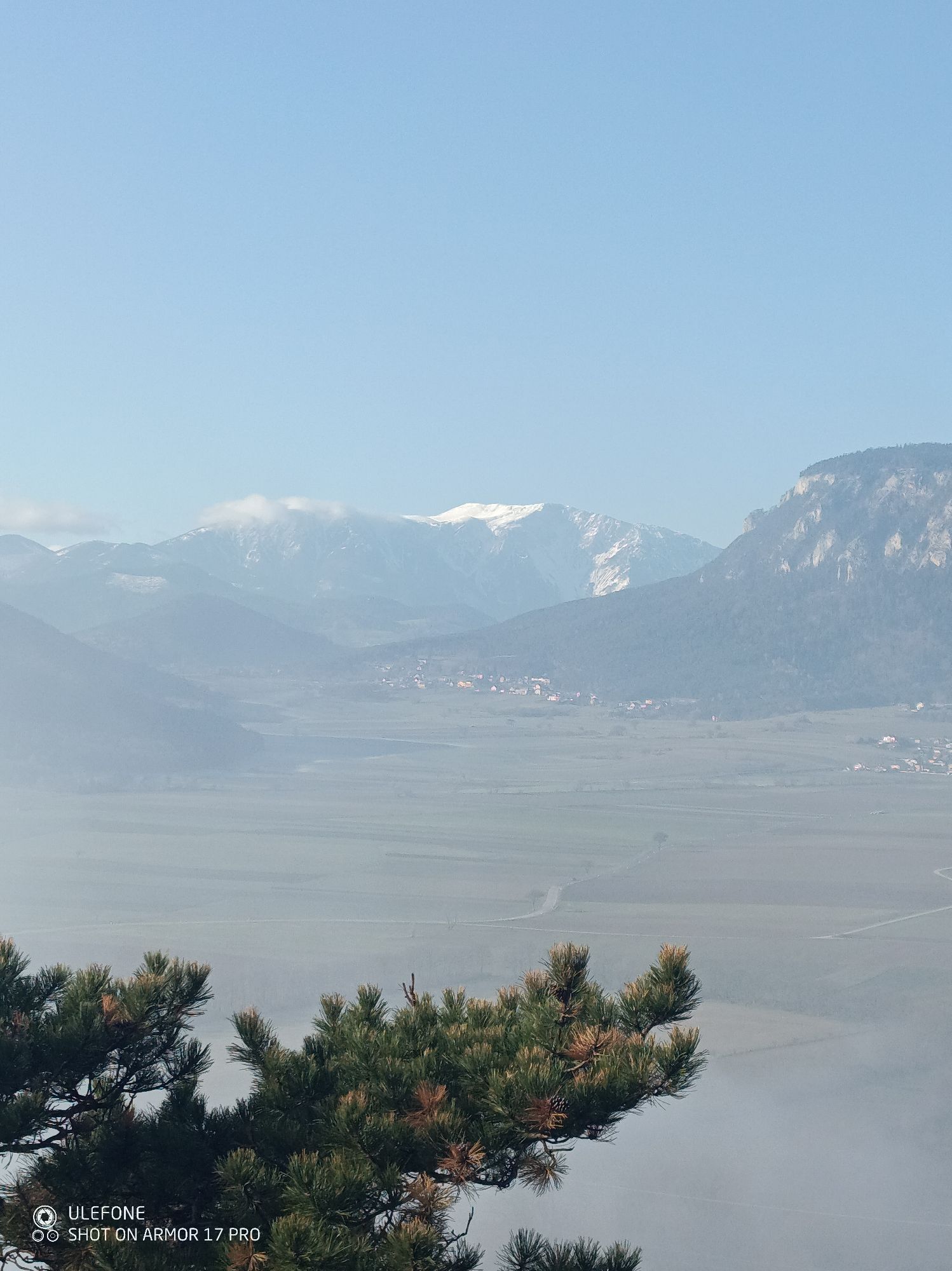
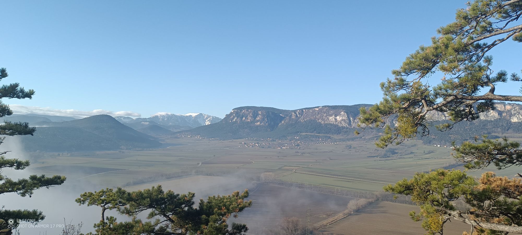
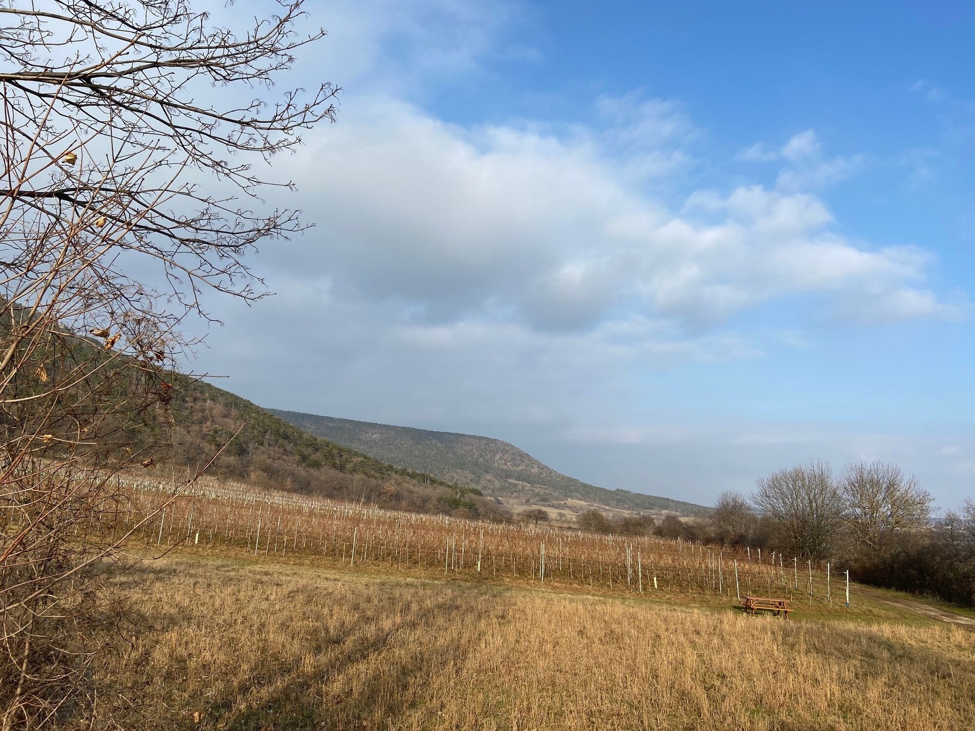
Variants: after descent Größenberg turn left – geotope – Engelsberg 1/4 hour. On the descent to Winzendorf, turn right uphill for 1/4 hour to the limestone quarry viewpoint. Both worthwhile.
Sturdy footwear
Caution when wet: slippery on the steep ascents!
from Vienna direction, exit Wiener Neustadt Nord/Wöllersdorf, direction Piestingtal/Hohe Wand,
from Graz direction, exit Wiener Neustadt West, direction Schneeberg/Hohe Wand
By train from Wiener Neustadt towards Puchberg am Schneeberg, stop Winzendorf
Free parking available directly at the train station. Charging option for electric cars available.
Verantwortlicher für den Inhalt dieser Tour
Wiener Alpen in Niederösterreich - Schneeberg Hohe Wand
Letzte Aktualisierung: 10.10.2025
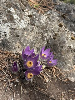
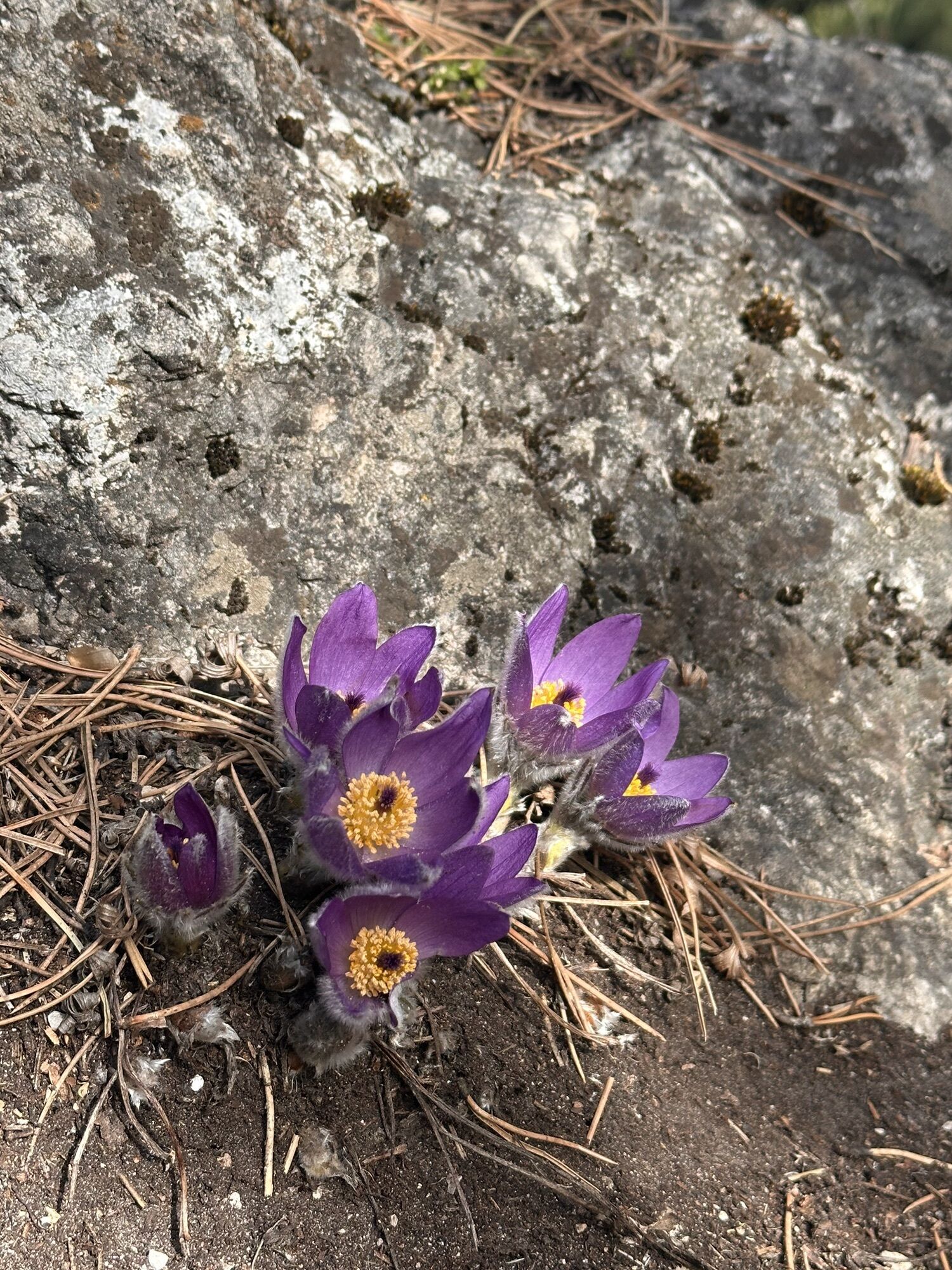
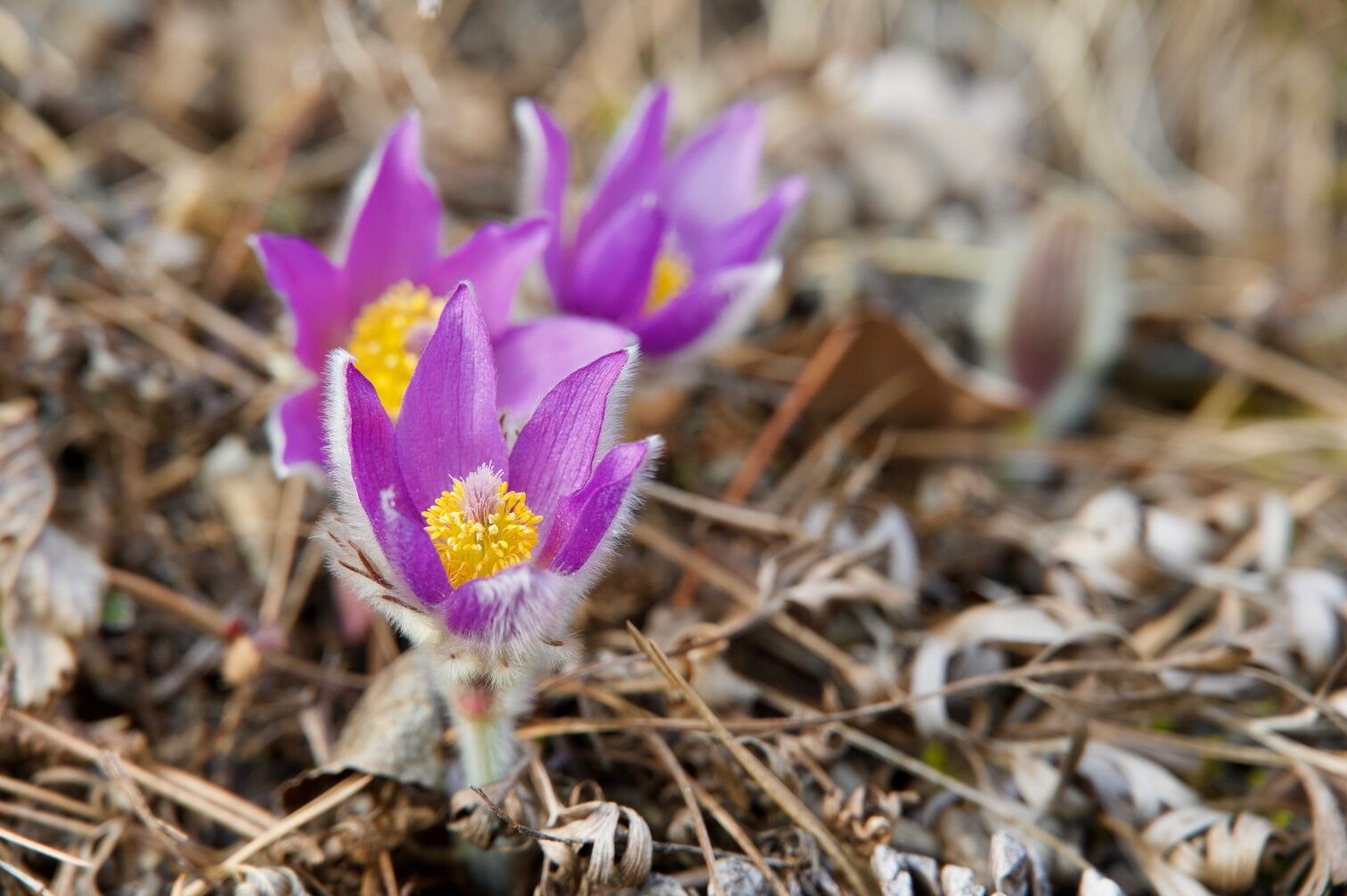
- Bloom of the pasqueflowers on the mild sunny slopes already in early spring (partly from the end of February!)
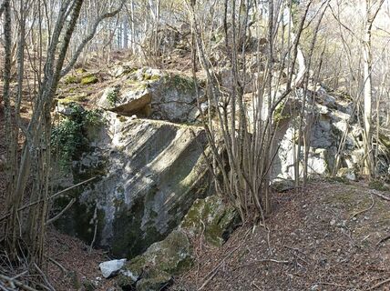
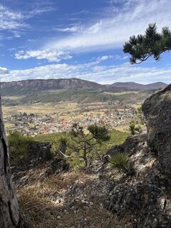
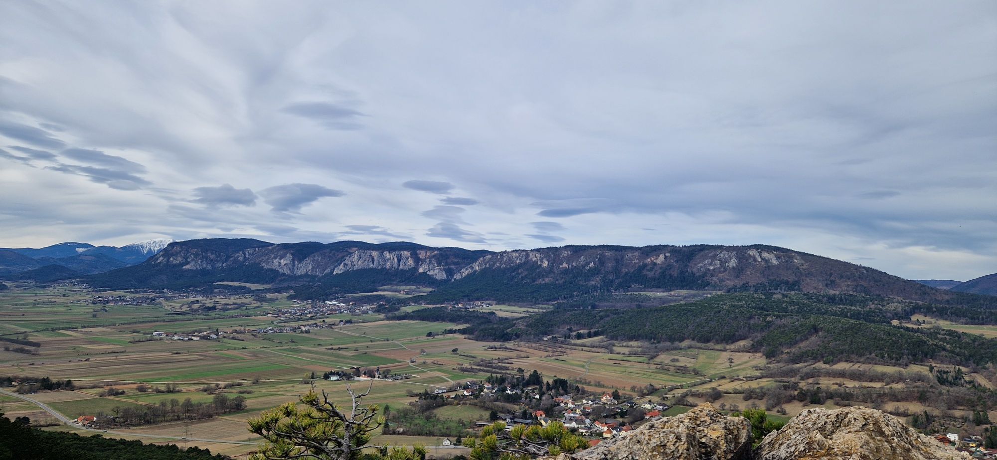
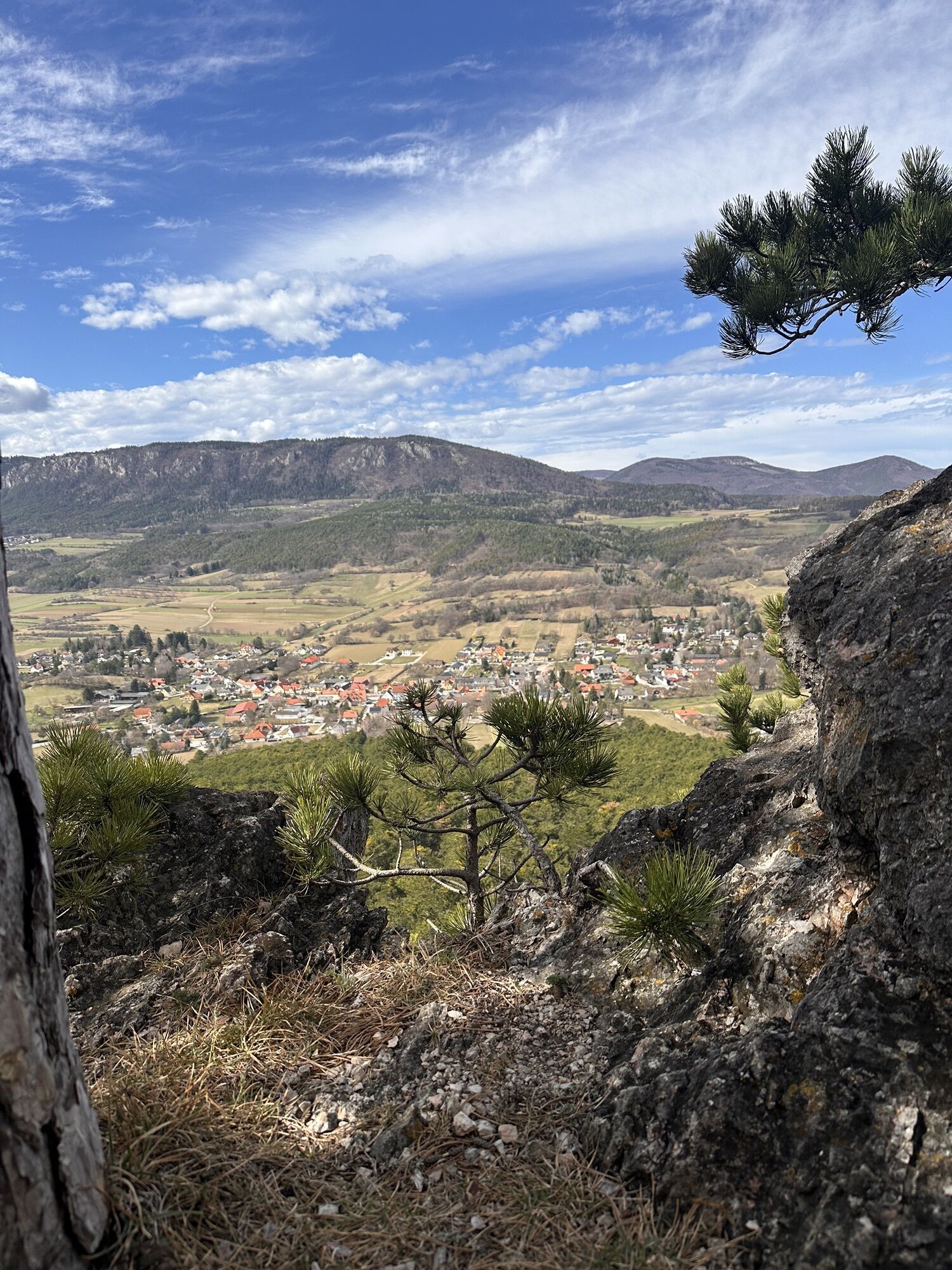
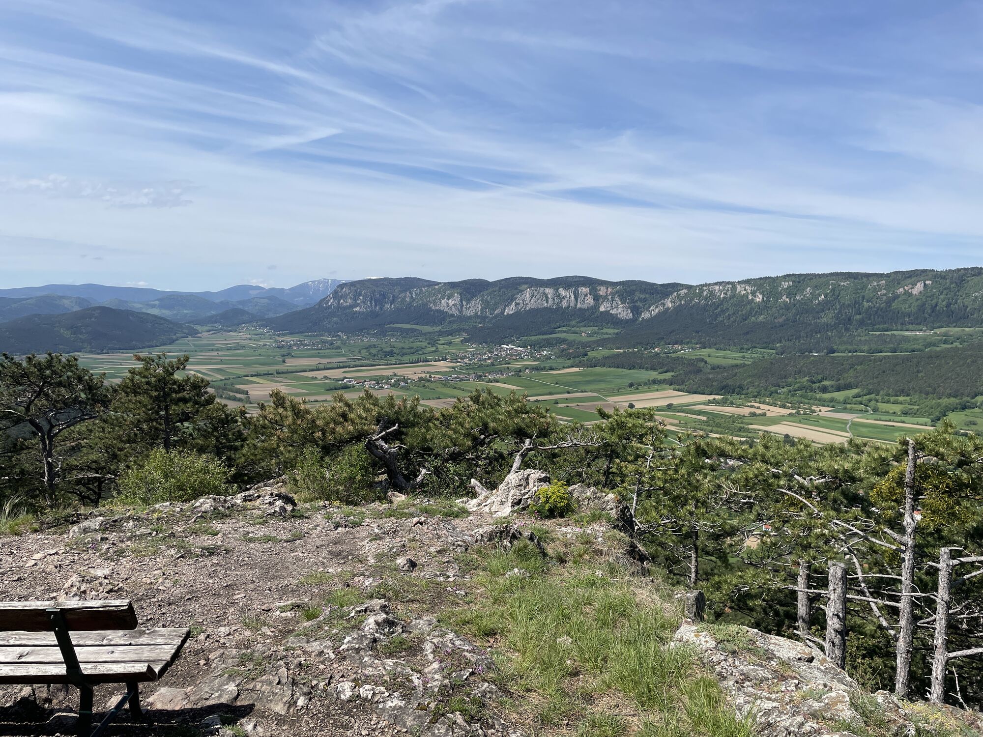
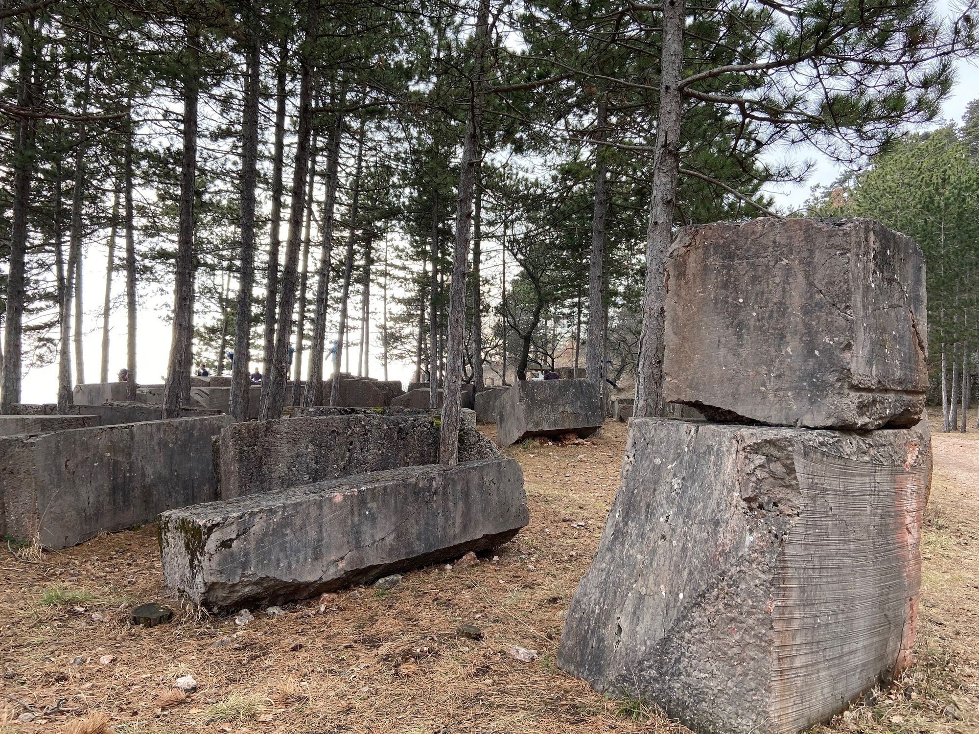
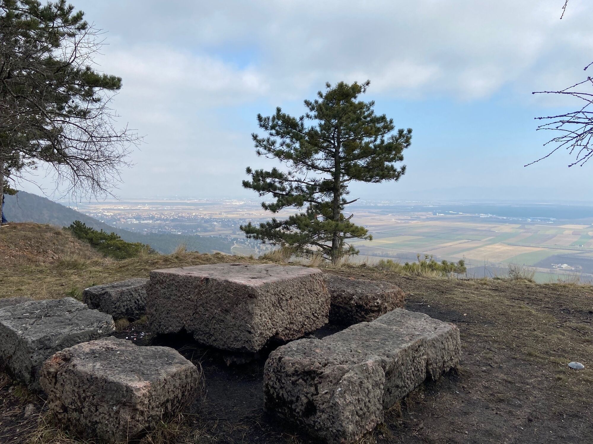
- Geotope "Englberg" in the former quarry with great views also to the south into the Steinfeld
- Detour to the "Smallest Dinosaur Museum in the World" in Muthmanssdorf
Popularne wycieczki w okolicy
-
4,8
ÖTK Klettersteig (vormals HTL Klettersteig) und Blutspur (D/E)
ciężkiVia ferrata 1,41 km -
4,8
Hohe Wand: Babygrat (1+), Rundwanderung und Wagnersteig (A)
ciężkiWędrówka 11,8 km -
4,8
Flatzer Wand Wanderung
światłoWędrówka 5,62 km -
4,8
Hohe Wand Wagnersteig - Springlessteig
średniWędrówka 5,59 km -
4,6
Grünbach - Eselsteig - Geländ
światłoWędrówka 5,22 km -
4,5
Johannesbachklamm - Würflach
średniWędrówka 11,3 km -
4,5
Hohe Wand: Frauenlucke und Völlerin
średniWędrówka 1,90 km -
4,7
Hohe Wand: Dreistetten - Herrgottschnitzerhaus
światłoWędrówka 6,51 km -
4,3
Gebirgsvereinssteig C/D
ciężkiVia ferrata 4,38 km -
4,6
Hohe Wand: Grafenbergweg - Große Kanzel - Rastkreuz - Gländ
średniWędrówka 9,03 km

Wędrówki i tropienie


Nie przegap ofert i inspiracji na następne wakacje
Twój adres e-mail została dodana do listy mailingowej.