







Zeining-Jauerling-Steig
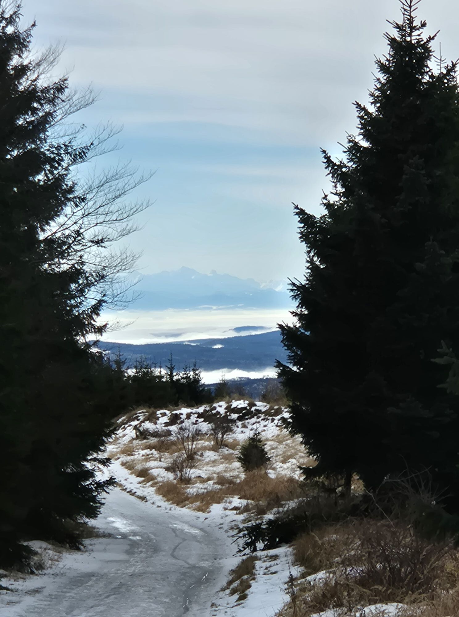
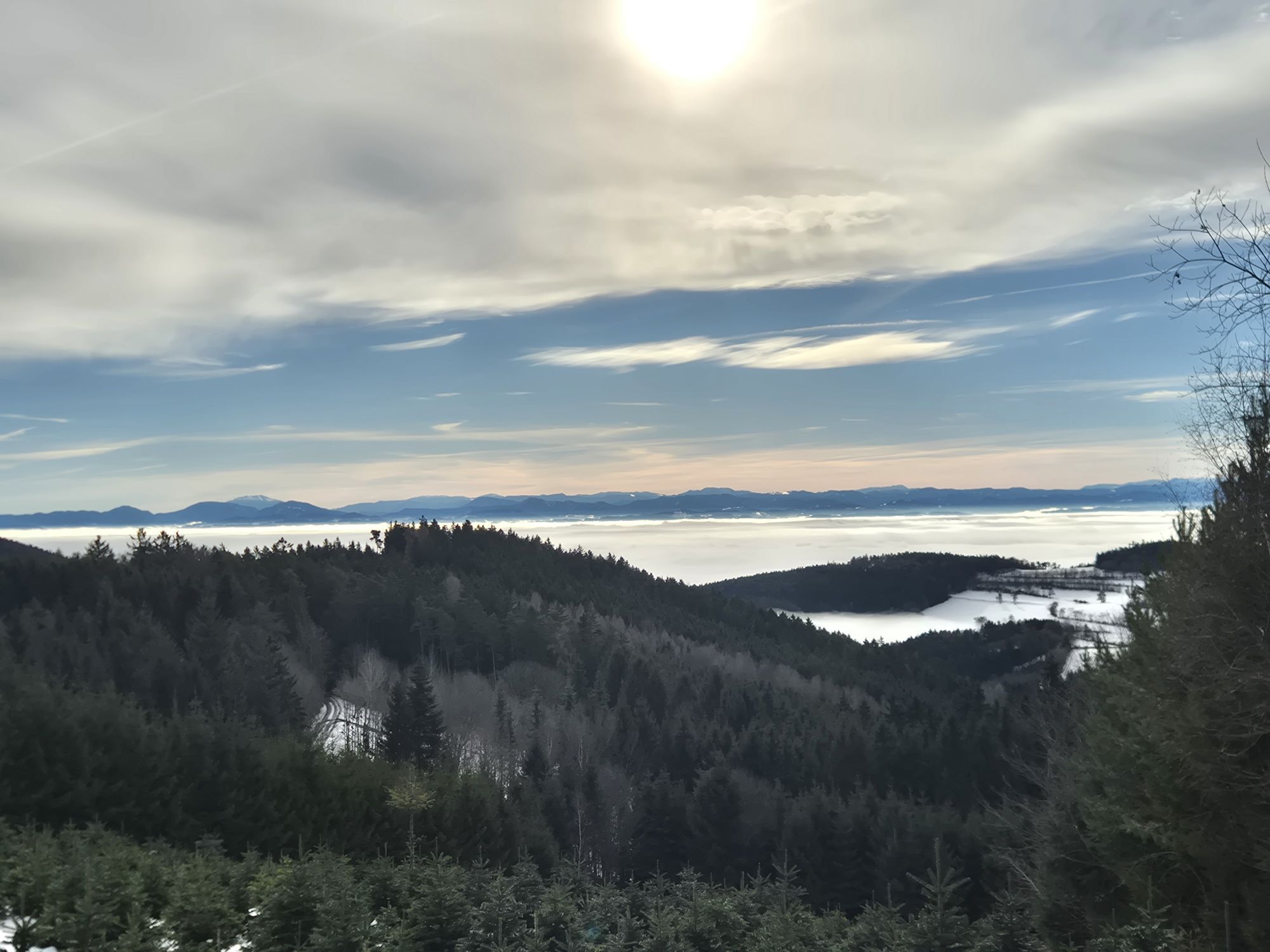

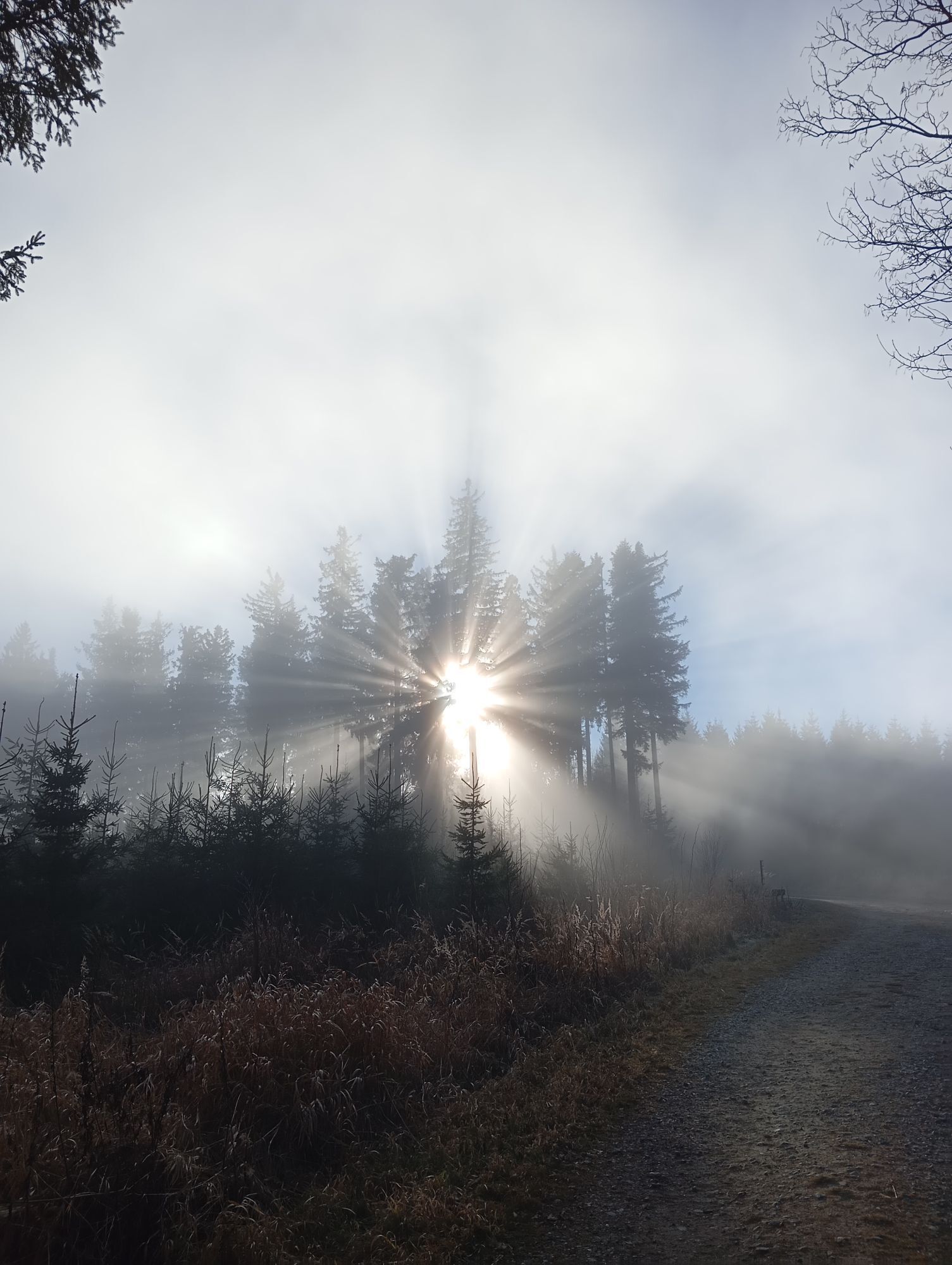


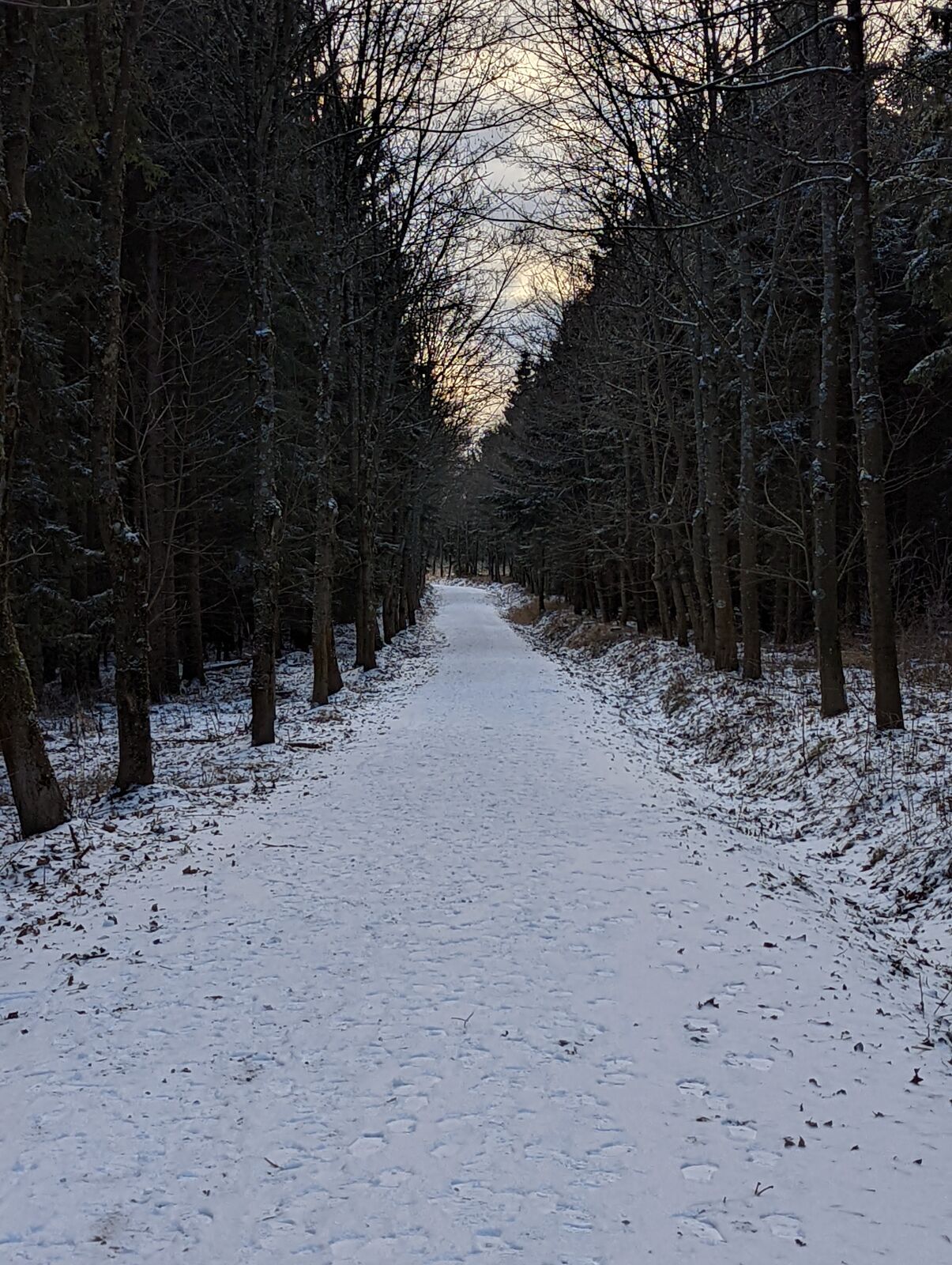
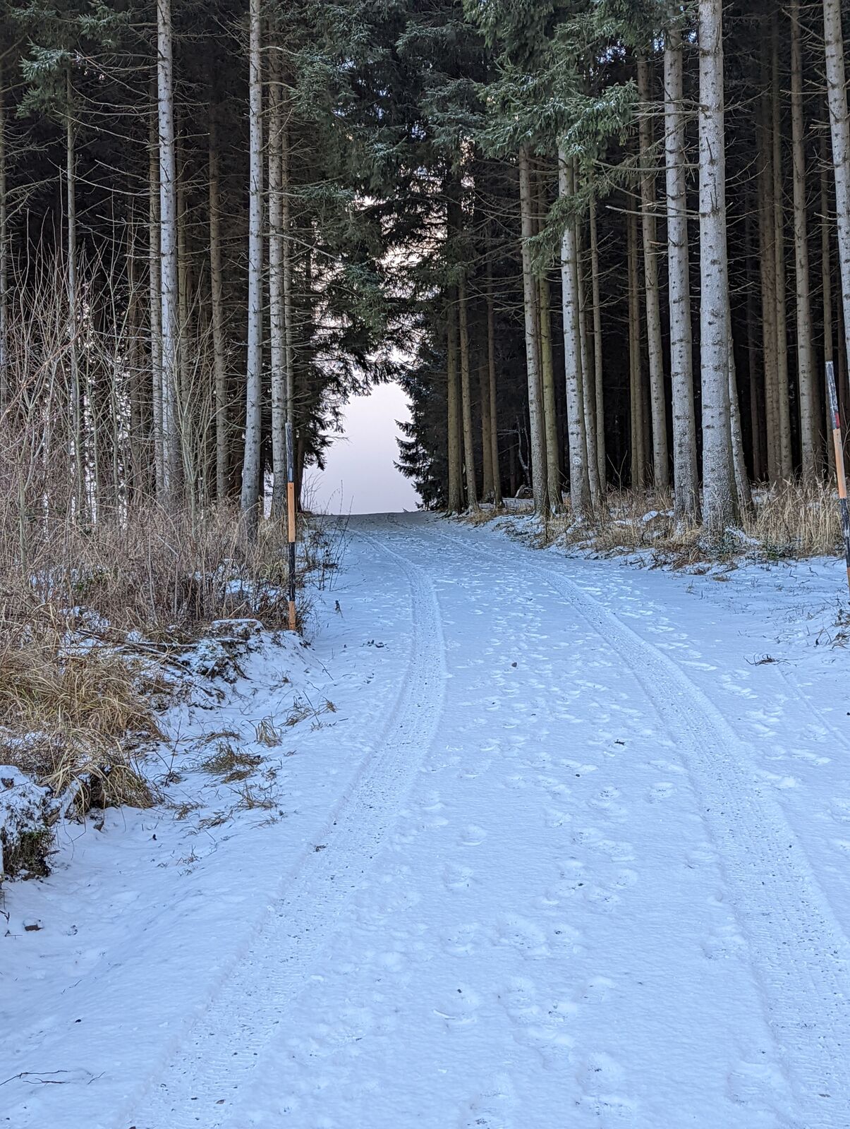
Hilly forest and meadow landscape with numerous individual farm settlements and vantage points. The Gothic pilgrimage church of St. Andrew in Heiligenblut is well worth seeing. Baroque parish church of...
Hilly forest and meadow landscape with numerous individual farm settlements and vantage points. The Gothic pilgrimage church of St. Andrew in Heiligenblut is well worth seeing. Baroque parish church of St. Gotthard in Raxendorf. Trail riding station in Braunegg, new leisure facility with swimming pond.

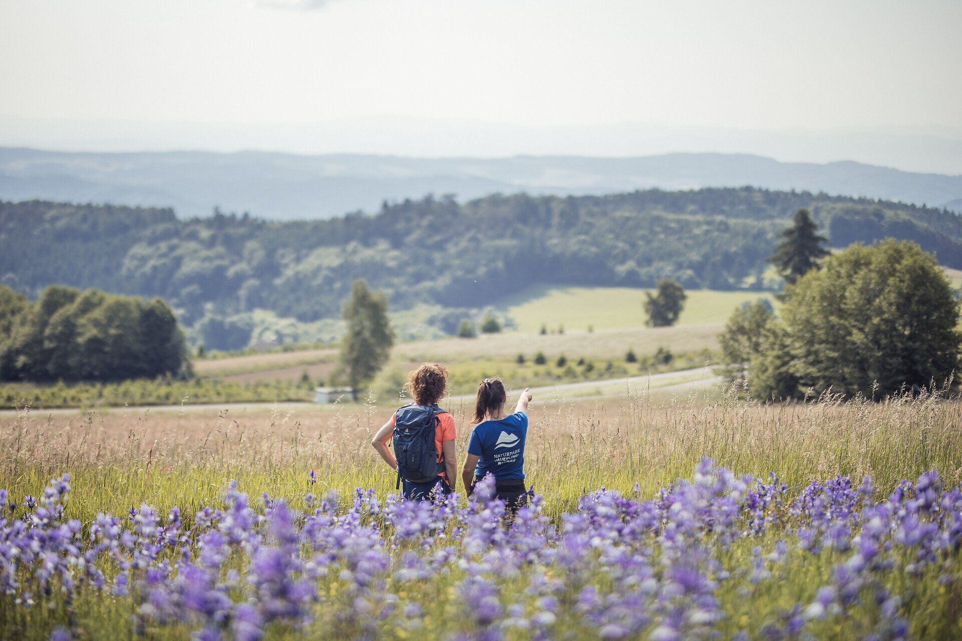

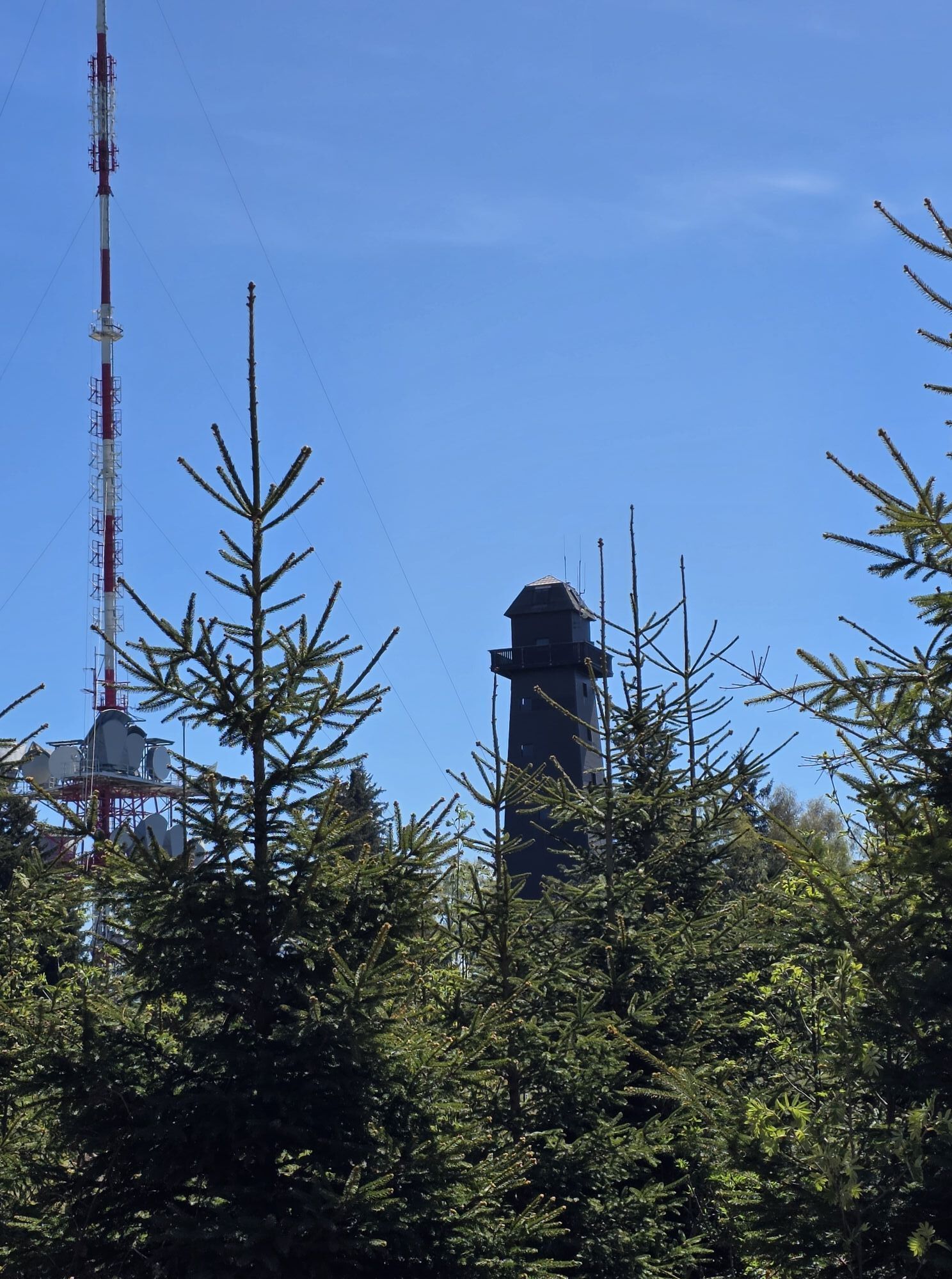
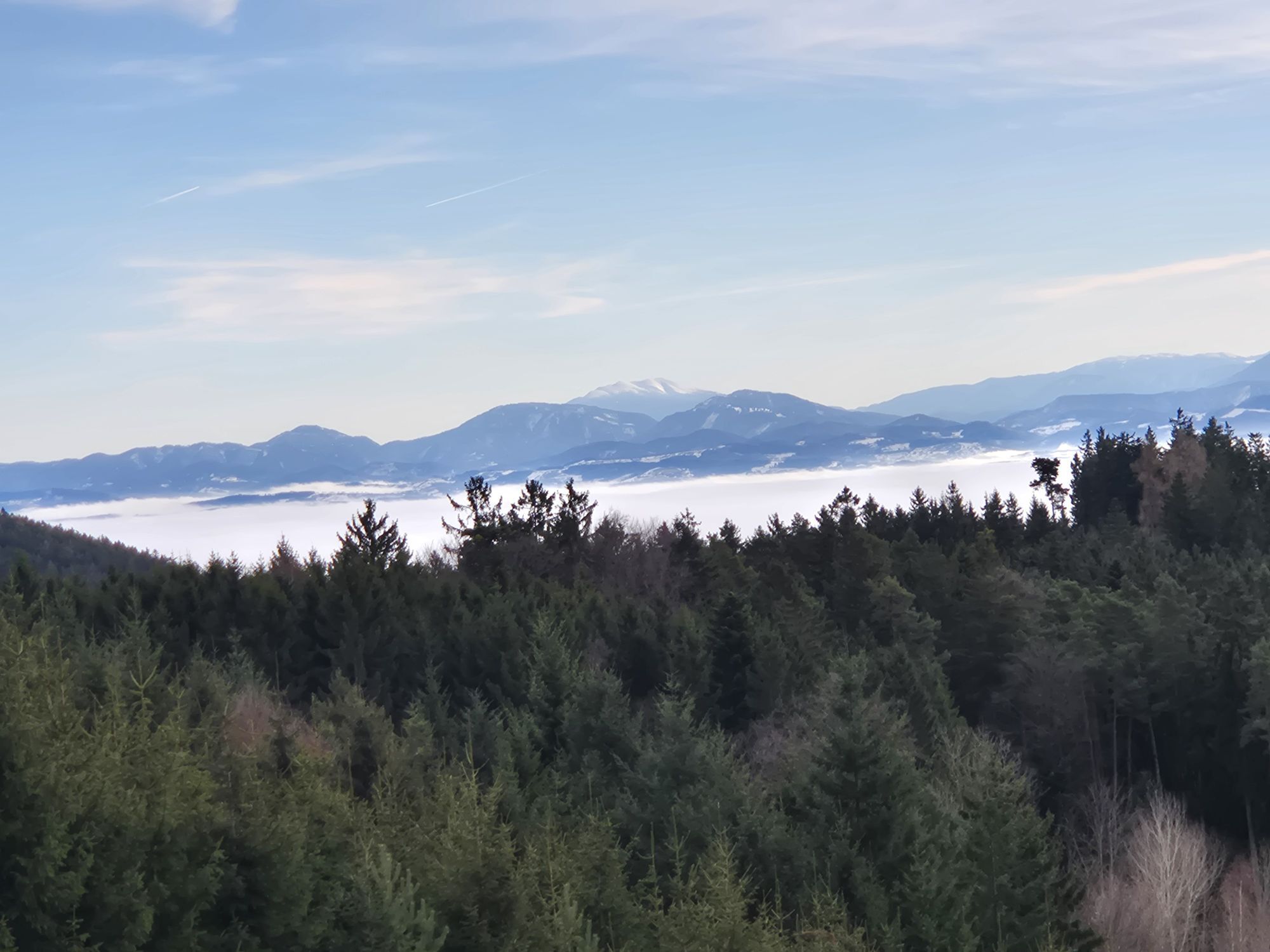
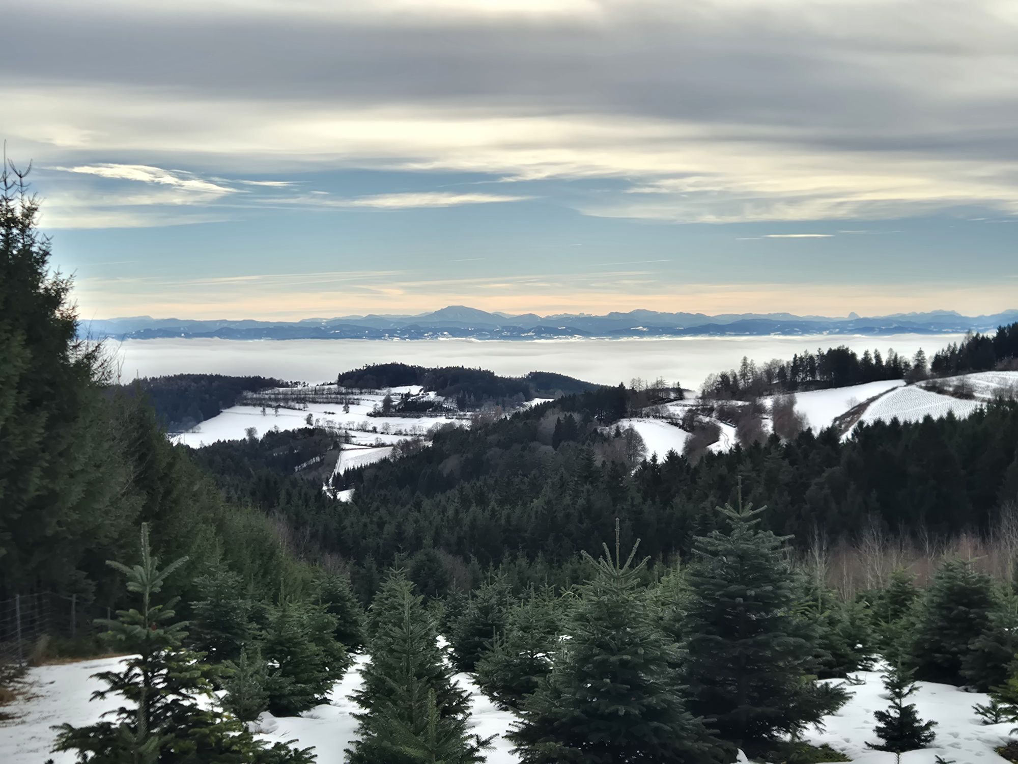
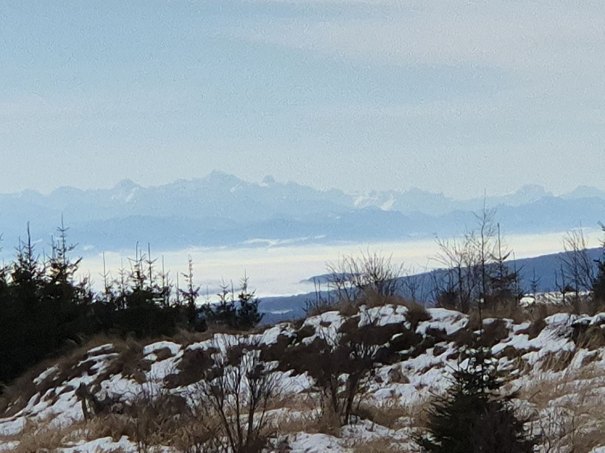
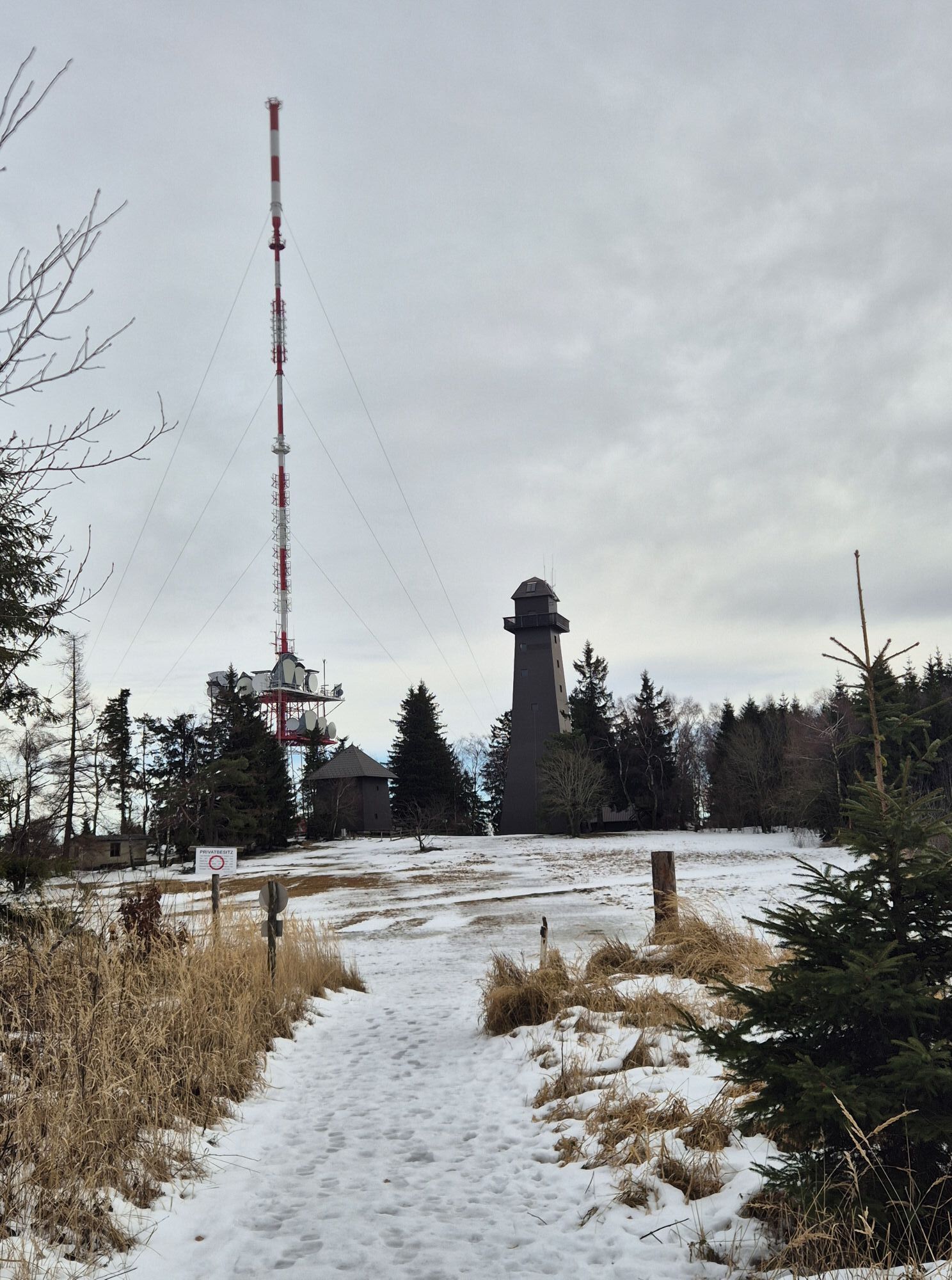
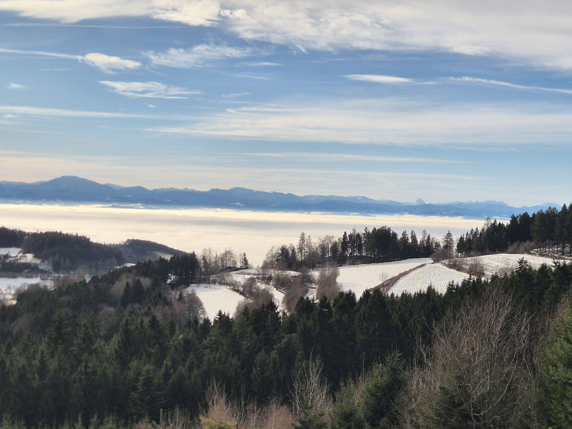
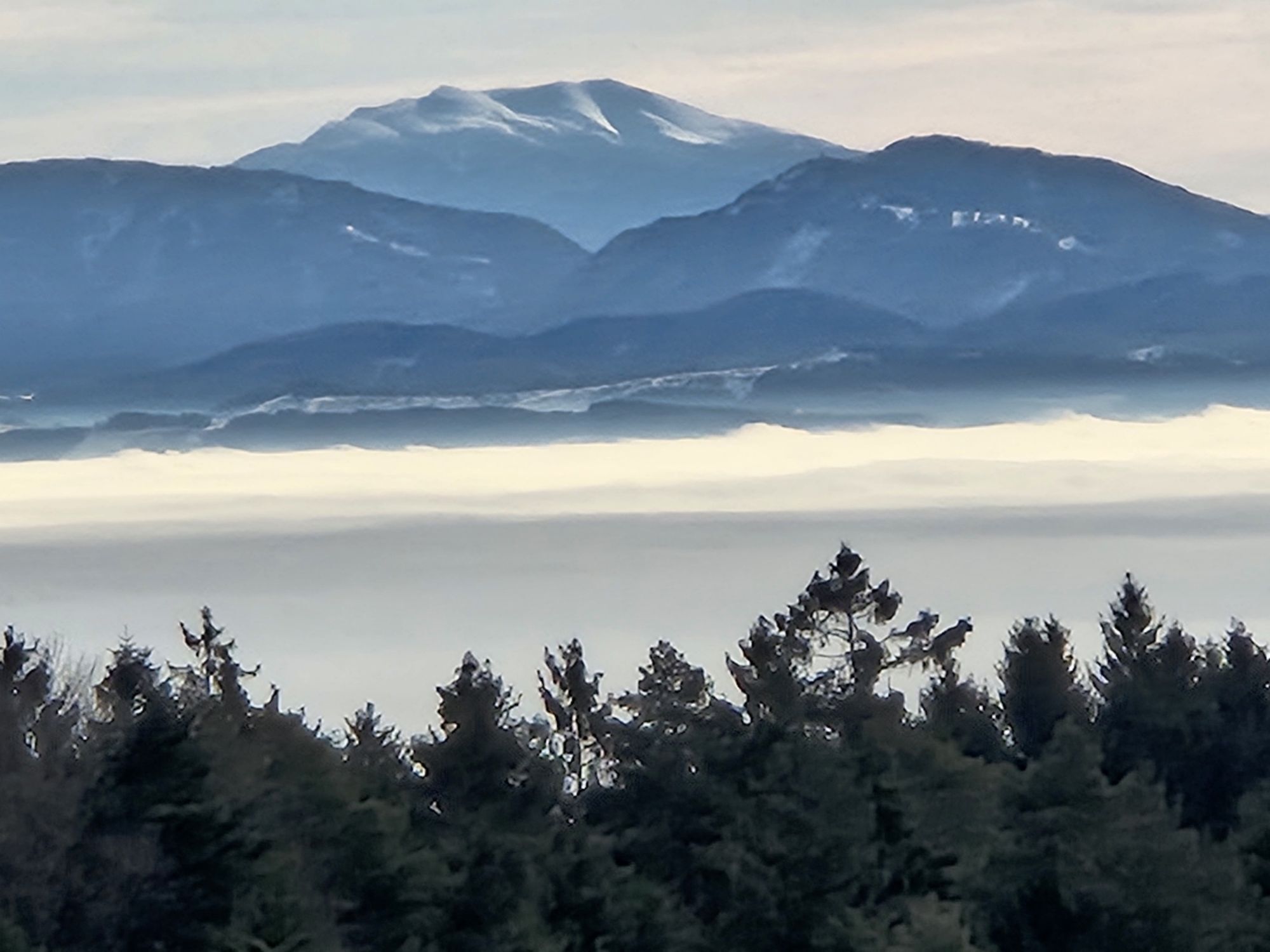
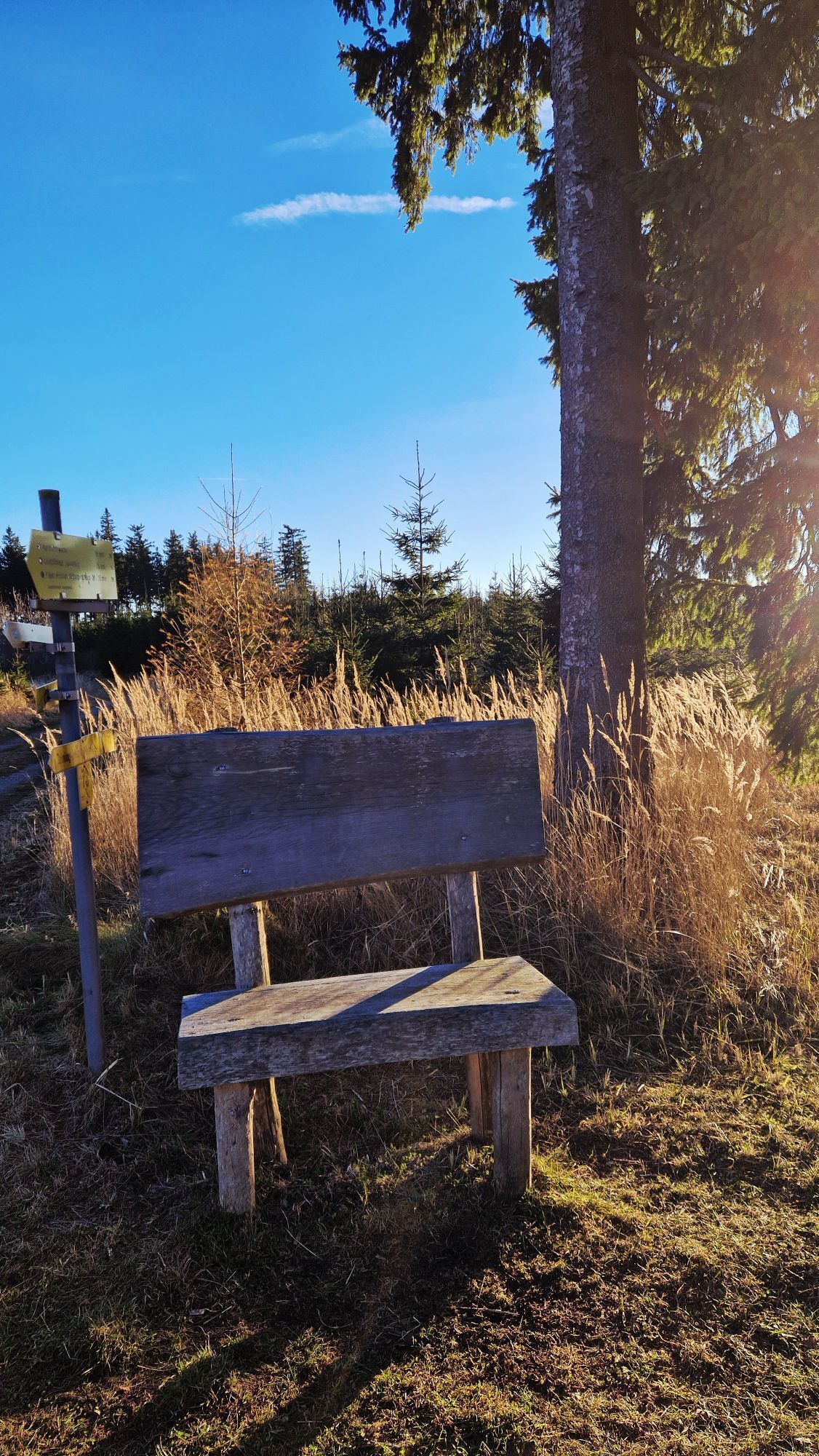
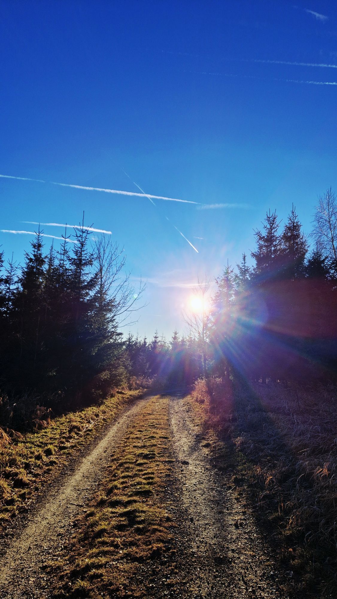
The hike along the Zeininger Jauerling-Steig begins at the entrance to the village (parking available for cars) and leads past the chapel along the village road; after leaving the village (uphill to the right), it follows the “Sattelweg” to the “Nonnersdorfer/Zeininger Kreuz” (rest area), where it also joins the Ysper-Weitental RWW 22 trail. You can enjoy the beautiful view back toward Zeining and the Spitzer Graben several times along the way. At this wayside shrine, the hiking trails split; take the forest path to the left through the woods, and after about 1 hour of leisurely hiking, you’ll reach the “Turnerwiese.” Along the way, several lookout points offer unobstructed views of Maria Laach—with its remarkable Gothic pilgrimage church—as well as Schallaburg Castle and the Ötscher. Once you arrive at the Burgstock (lookout, ORF transmission tower) in the “highlands and summit area” of the Jauerling-Wachau Nature Park, you can explore additional loop trails. From the Turnerwiese, follow the “NÖ tut gut” hiking trail to reach the Jauerling summit cross at 960 m and, in about 20 minutes, the Hans Pichler Nature Park Inn (regional specialties, reopened in August 2008). From the “Wachau Terrace” near the nature park visitor center, you can enjoy a fantastic, unique view of the Danube and Spitz in the UNESCO World Heritage Site Wachau. The descent to Zeining: Returning from the Nature Park House near the Turnerwiese, the hike follows the North-South Long-Distance Hiking Trail 05 through the forest. Here, turn right and walk a few meters through the forest until you reach the forest road. The trail leads uphill for a few meters and then back down into the valley along a gentle, winding path. Along the way, you’ll come to wonderful viewpoints (including views of the Ostrong and the Waldviertel high plateau) and walk through the village back to the starting point. The nearest places to stop for refreshments are in Raxendorf, Trandorf, Feistritz, and Braunegg.
By car:
Westautobahn, exit at Melk or Pöchlarn
Melk route: Danube Bridge toward Waldviertel; Emmersdorf; Weitenegg; toward Weiten; Weiten; Am Schuß (turn right); Heiligenblut; Feistritz; Raxendorf (Melk to Raxendorf: 25 km)
Pöchlarn route: Cross the Danube Bridge toward Wachau; Weitenegg; toward Weiten; Weiten; Am Schuß (turn right); Heiligenblut; Feistritz; Raxendorf (Pöchlarn–Raxendorf 25 km)
Ysper-Weitental Tourism Association
3683 Yspertal, Hauptstraße 9
(T) +43 7415 676725
(E) info.yw@waldviertel.at
Waldviertel Tourism
3910 Zwettl, Sparkassenplatz 1/2/2
(T) +43 2822 54109
(E) info@waldviertel.at
(I) www.waldviertel.at
Uzyskaj wgląd
Zawsze na żywo z ponad 9 500 kamer internetowych. bergfex Jako użytkownik Pro, możesz teraz zobaczyć odpowiednie kamery internetowe dla wielu wycieczek w aplikacji wycieczki od. Pozwala to na bezpośredni podgląd aktualnych warunków.
Popularne wycieczki w okolicy
-
4,6
Welterbesteig Wachau 02: Dürnstein-Weißenkirchen
światłodługodystansowy szlak pieszy 15,9 km -
4,4
Welterbesteig Wachau 03: Weißenkirchen-Spitz
światłodługodystansowy szlak pieszy 10,4 km -
4,7
Wachau: Seekopf - Hirschwand
średniWędrówka 10,4 km -
4,7
Rundhöhenwanderweg Weißenkirchen in der Wachau - Schildhütten - Cholerakreuz - Weißenkirchen
światłoWędrówka 8,75 km -
4,6
Krems (Welterbesteig) - Dürnstein - Vogelbergsteig - Kanzel - Fesslhütte - Krems
średniWędrówka 18,0 km -
4,5
Maria Langegg - Rote Wand - Hoher Stein - Kastlkreuz
średniWędrówka 11,4 km -
4,5
Panoramaweg Weissenkirchen
światłoWędrówka 5,04 km -
4,5
Seekopf und Hirschwand
średniWędrówka 2,83 km -
4,8
Wachau: Panoramaweg Rossatz
światłoWędrówka 10,8 km -
4,5
Hirschwand und Seekopf
średniWędrówka 9,09 km
Wędrówki i tropienie


Nie przegap ofert i inspiracji na następne wakacje
Twój adres e-mail została dodana do listy mailingowej.





