






Thayatalweg 630 - 1st stage: Nebelstein - Weitra
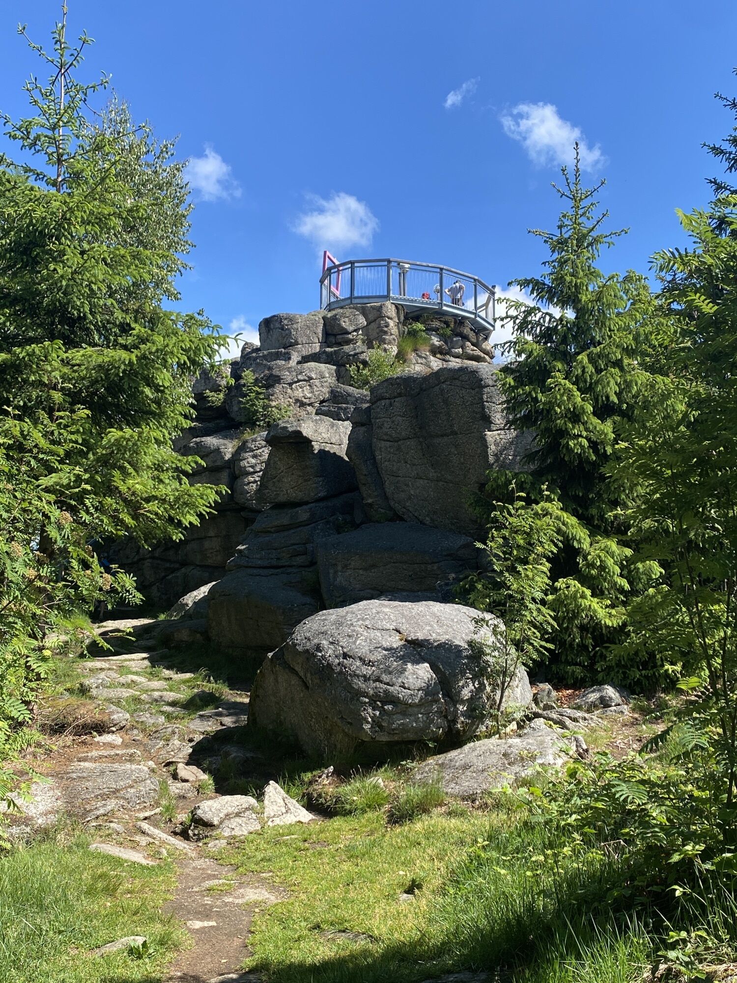
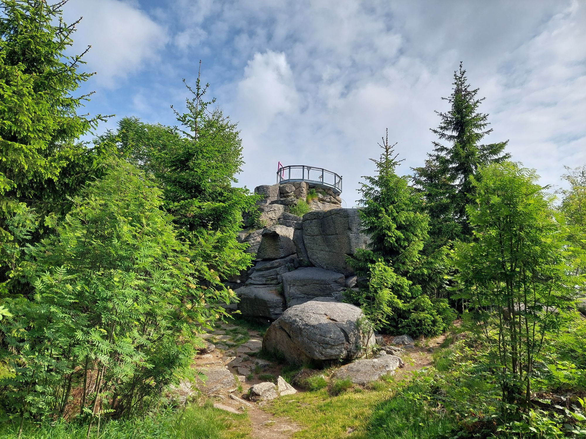

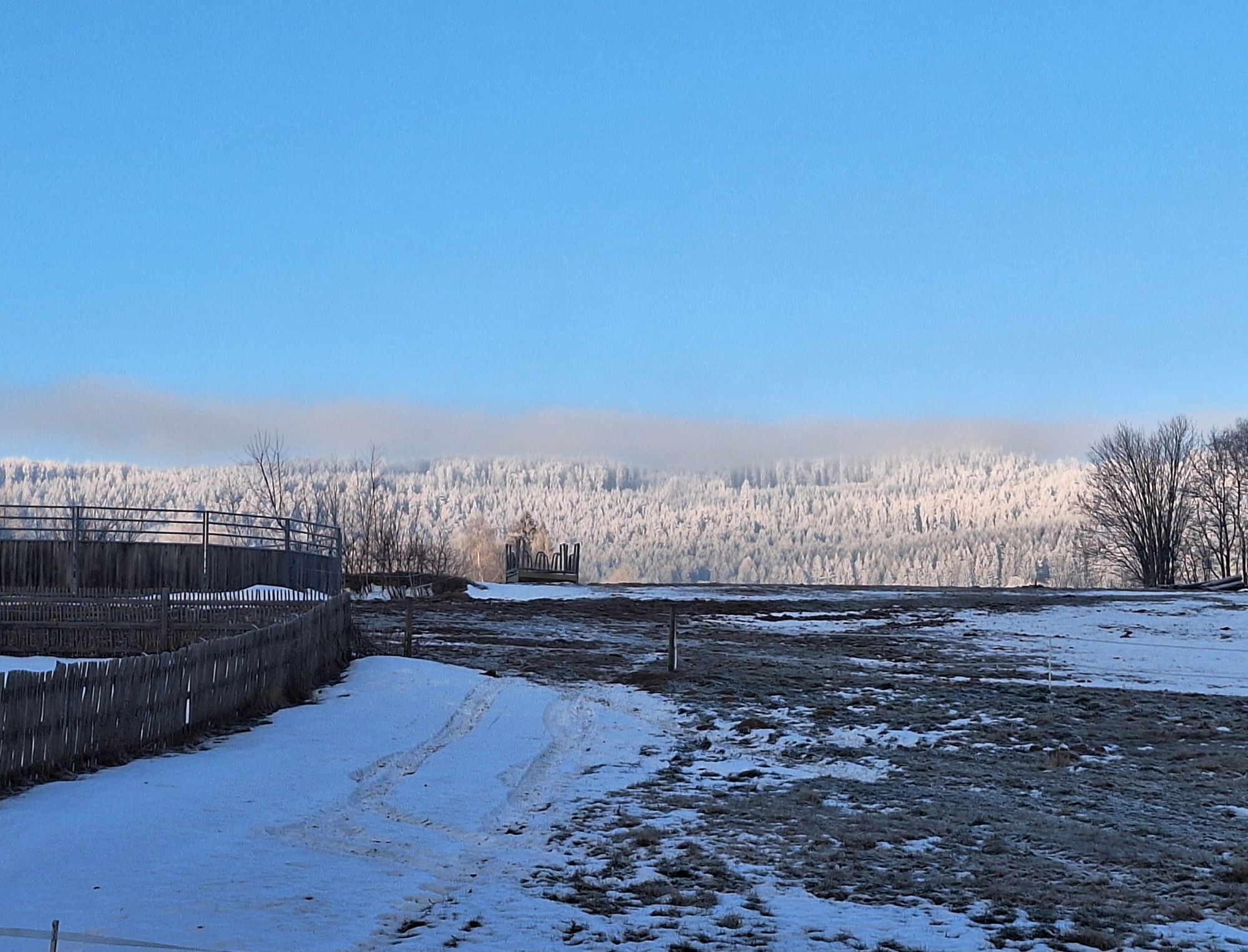

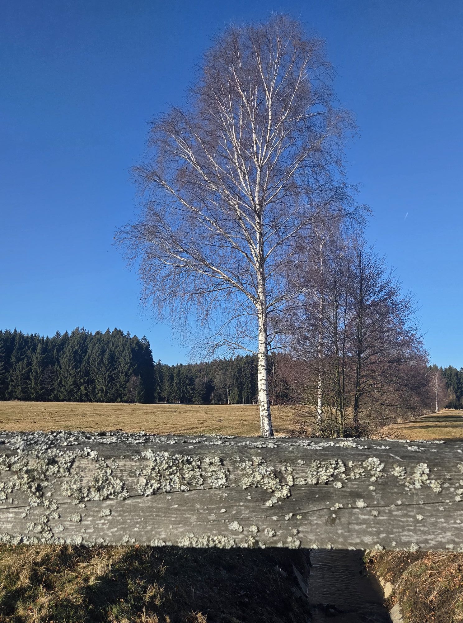
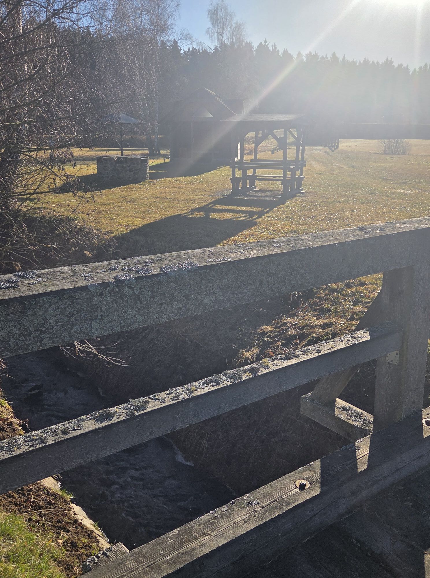
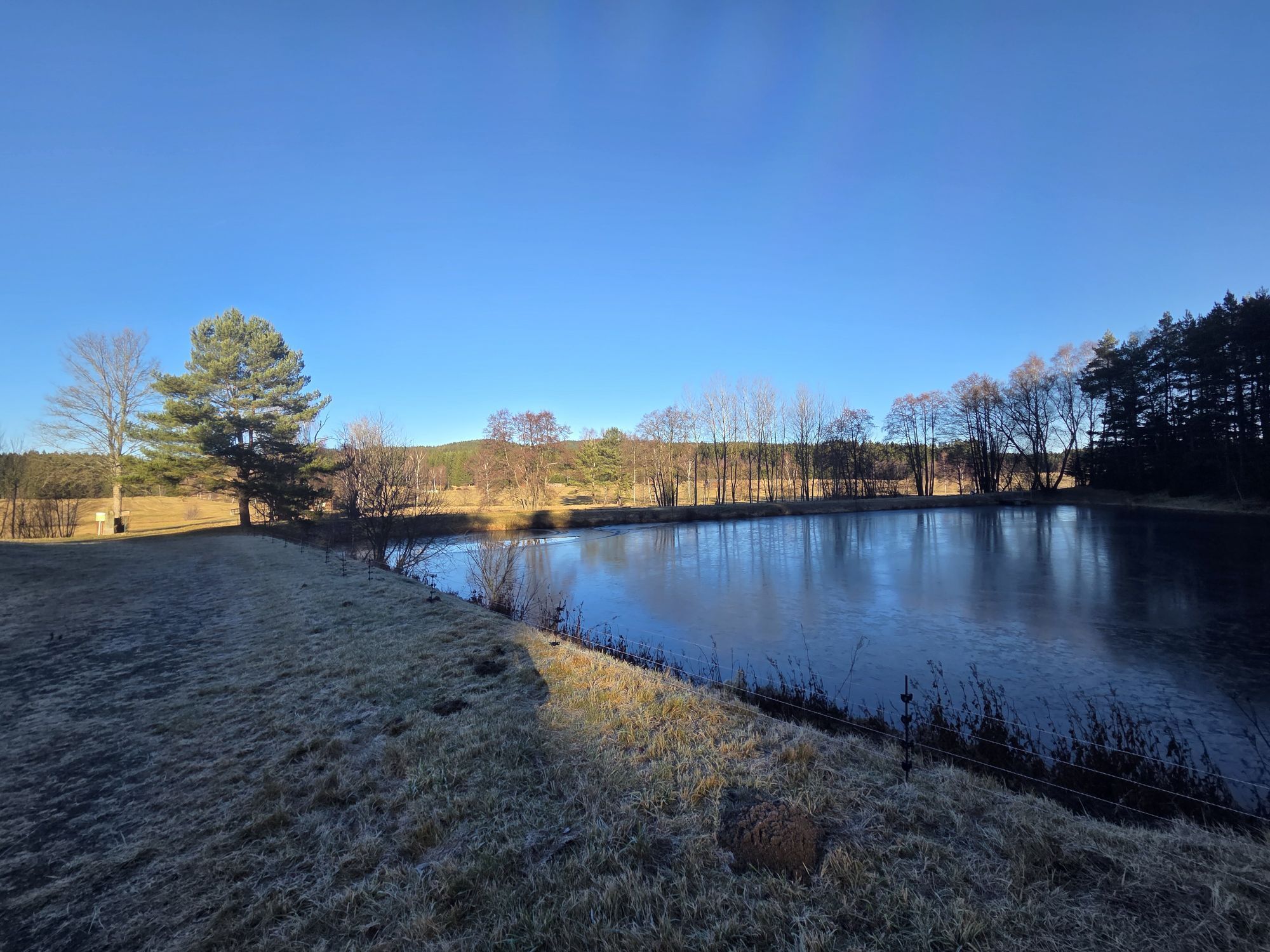
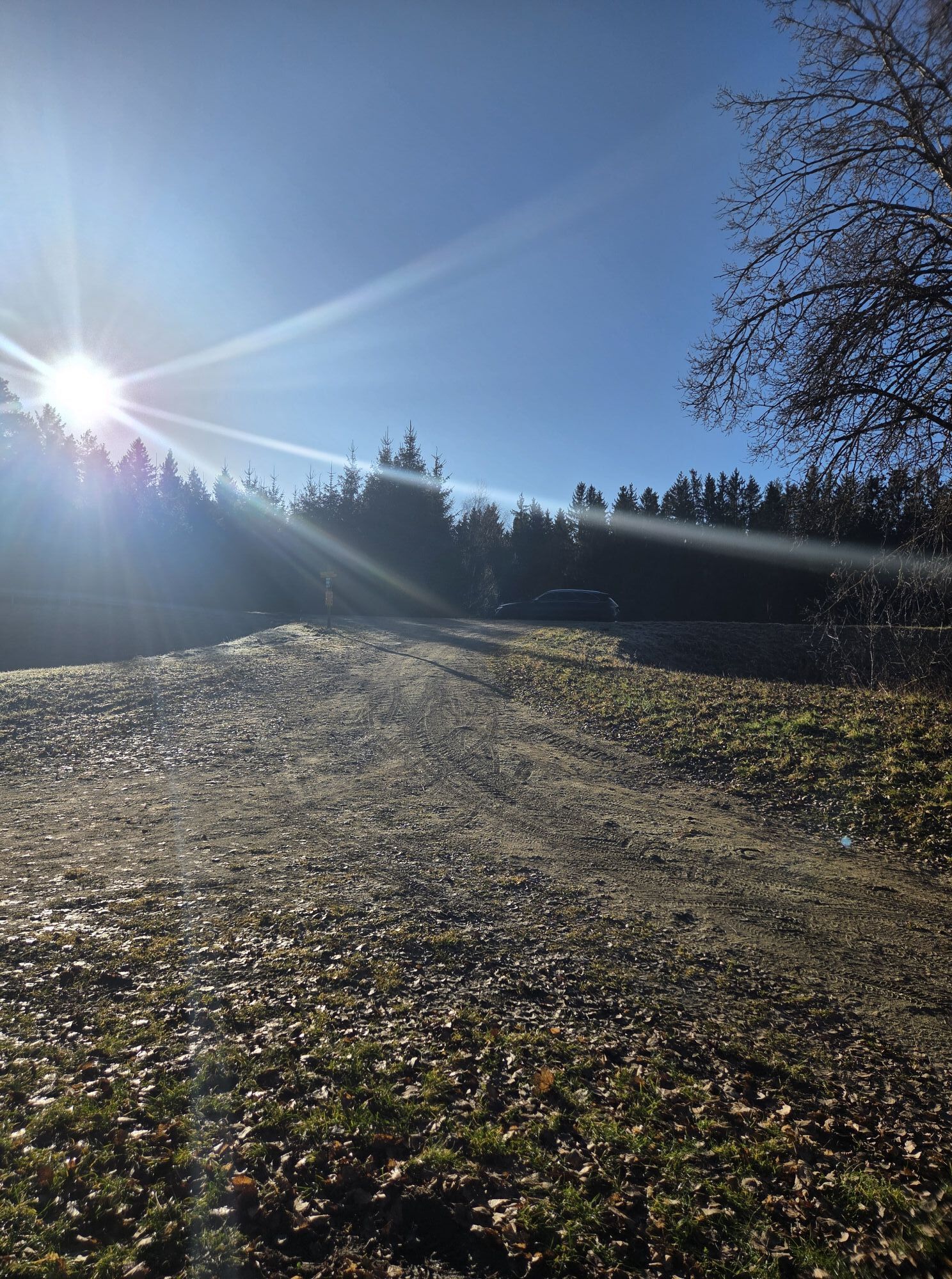
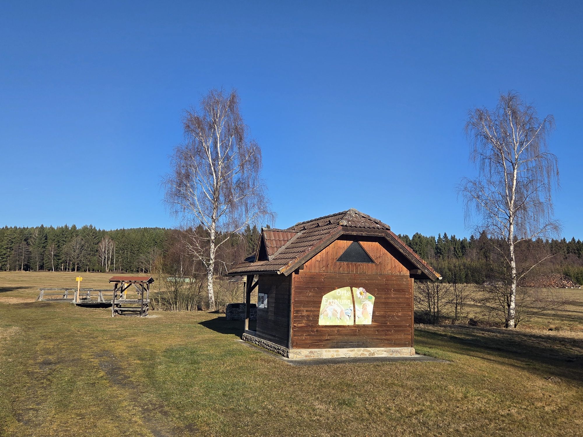
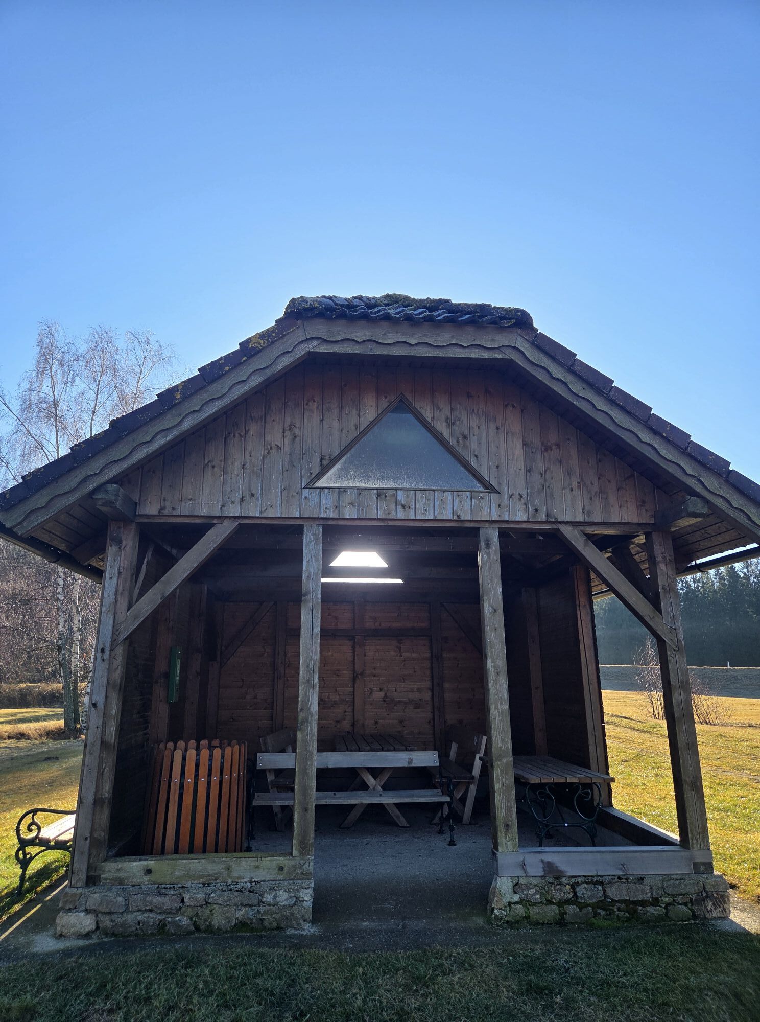
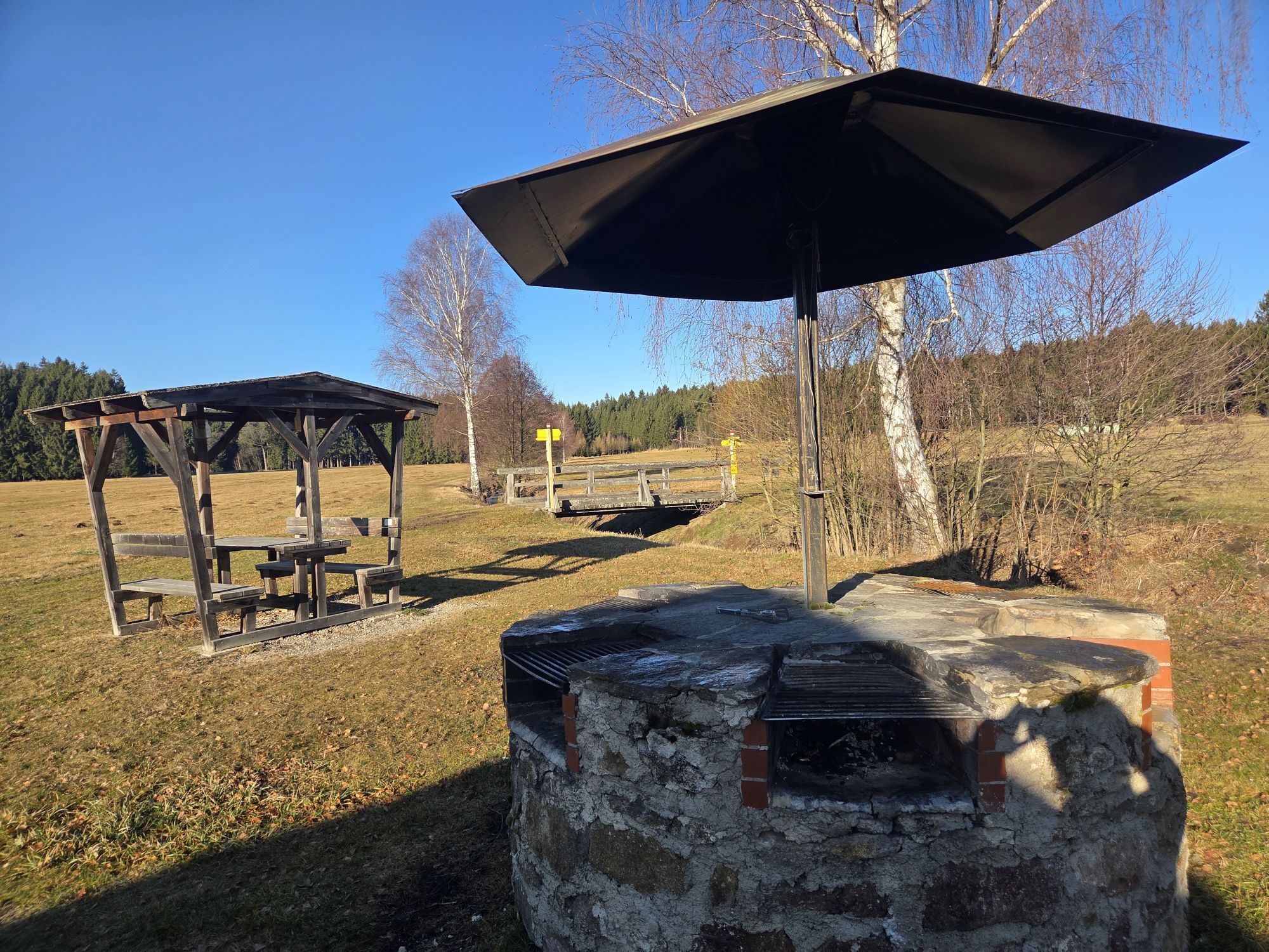
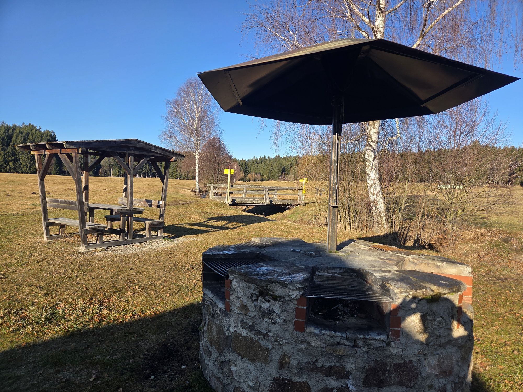
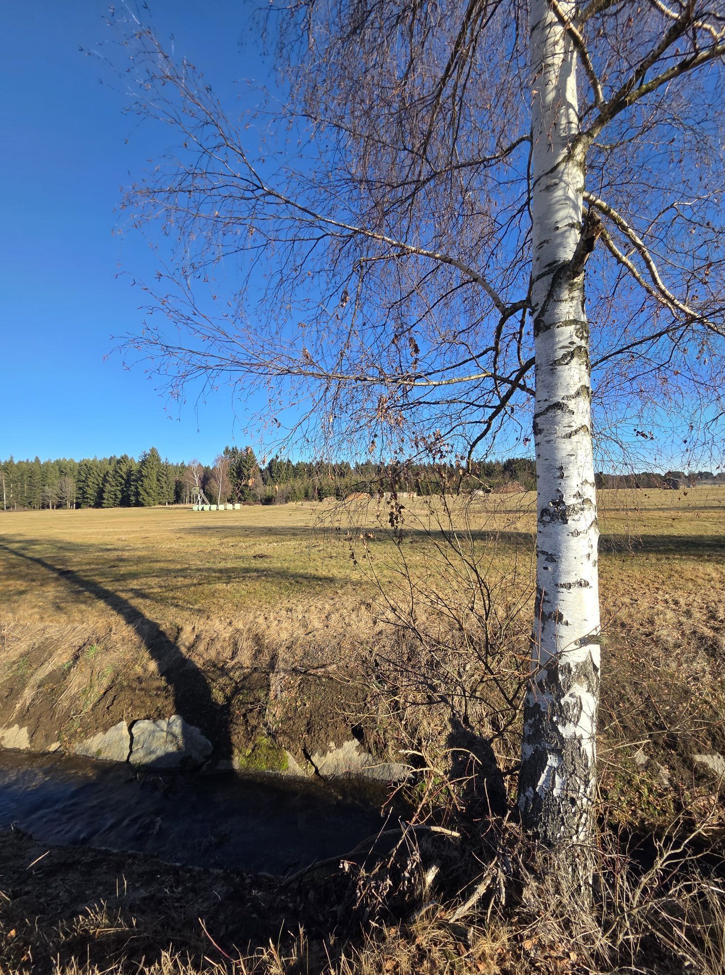
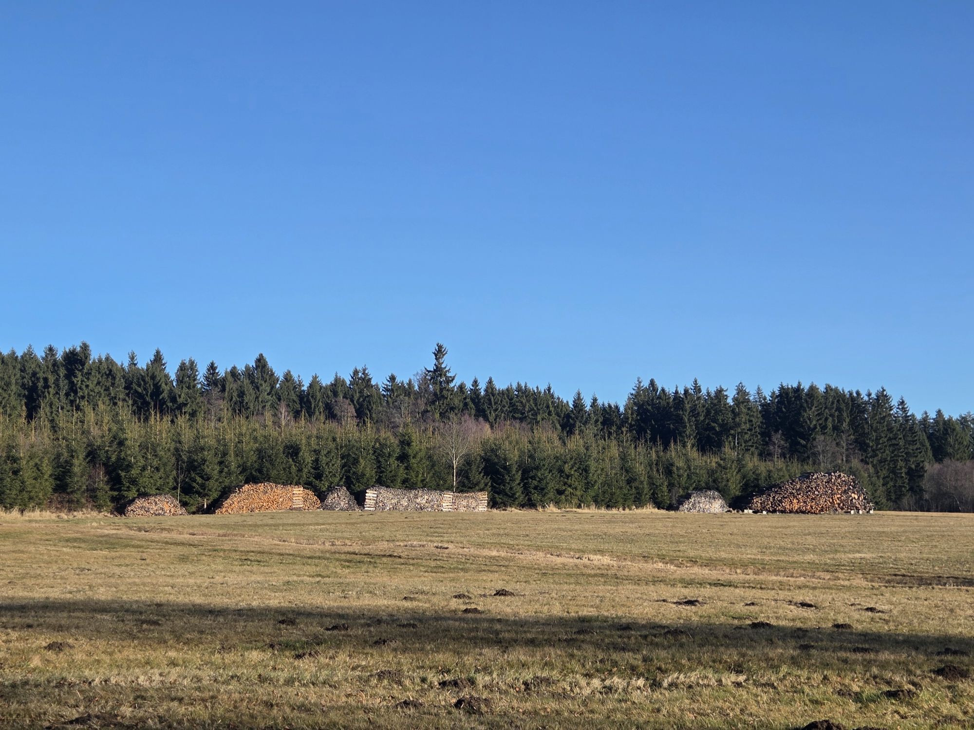
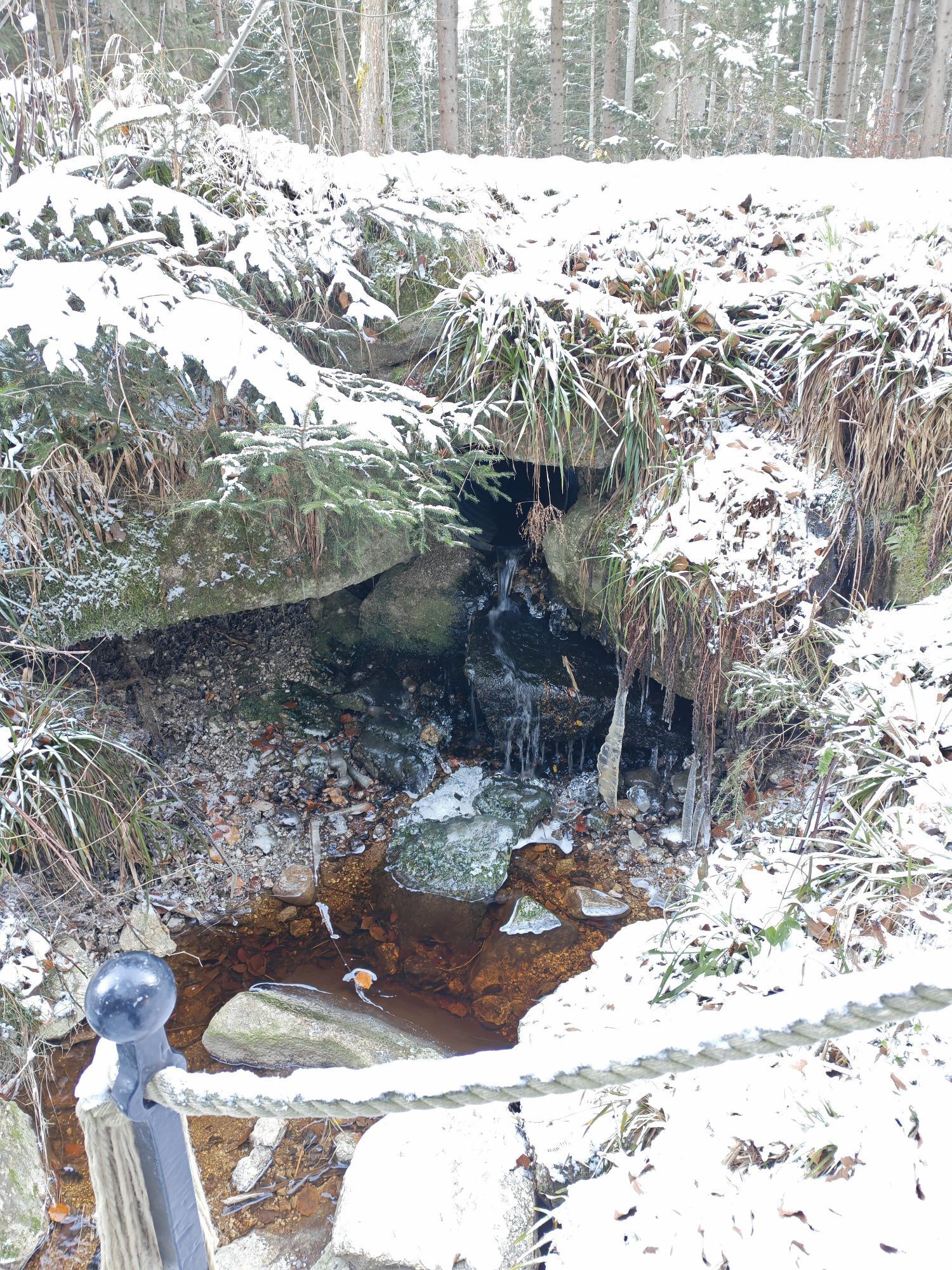

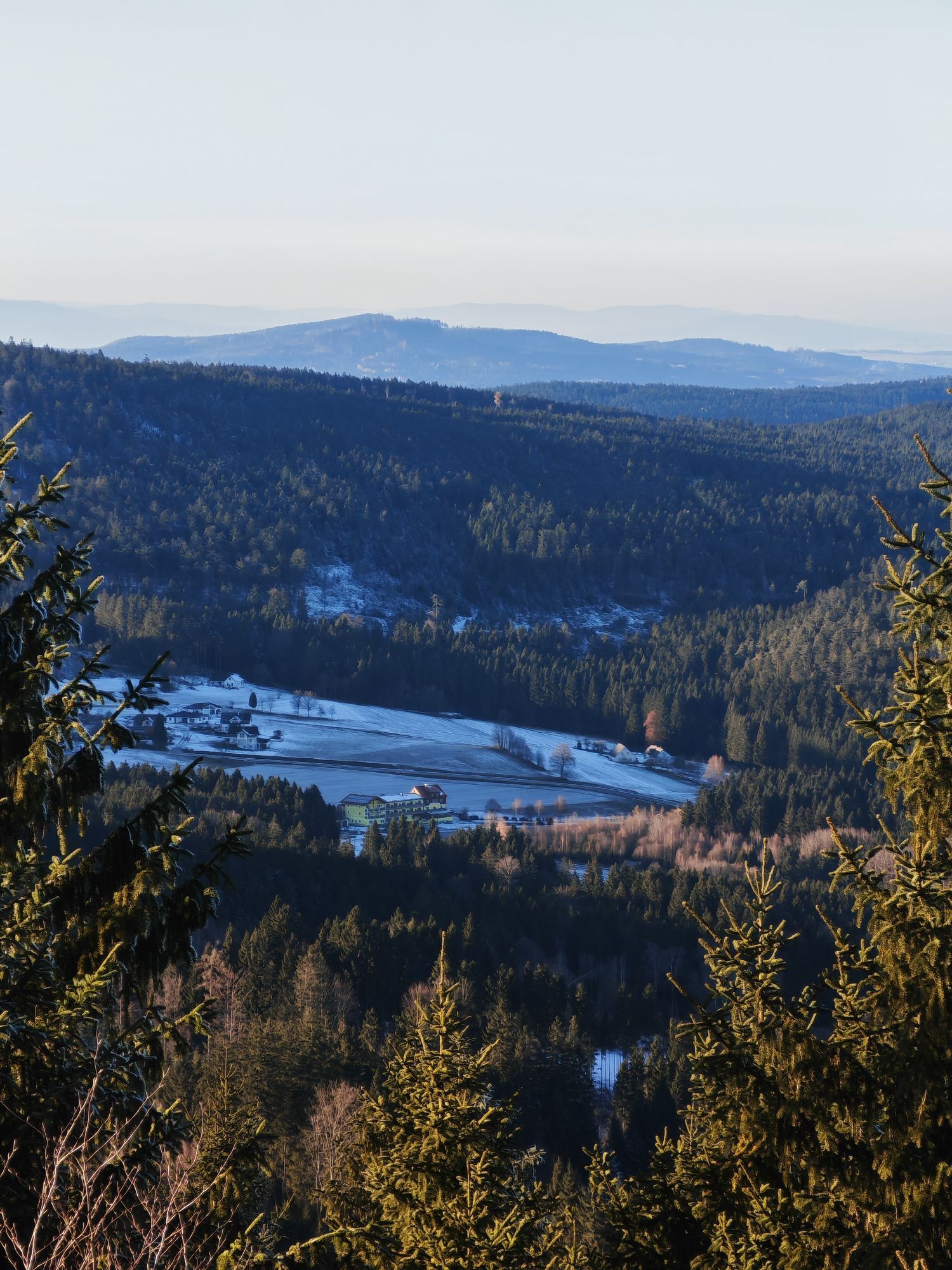
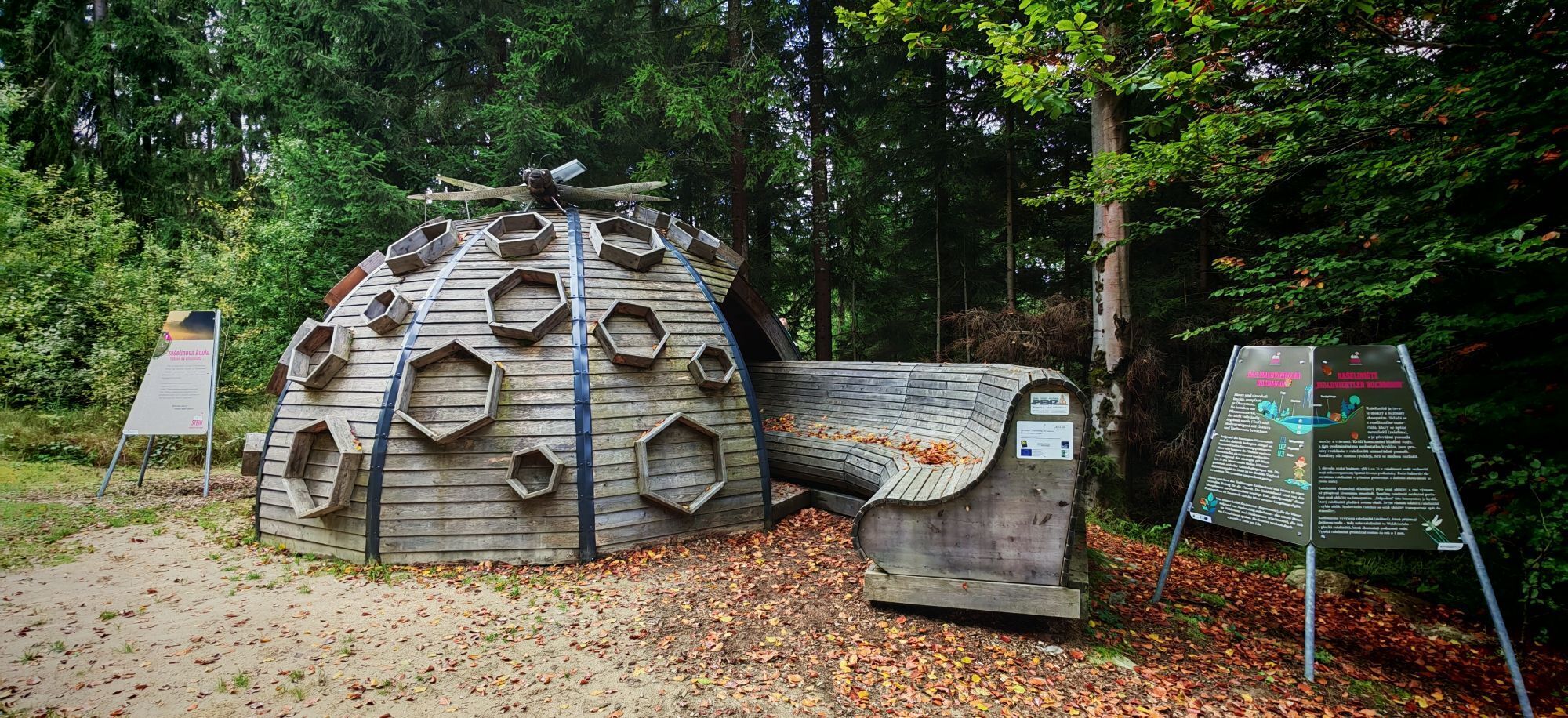
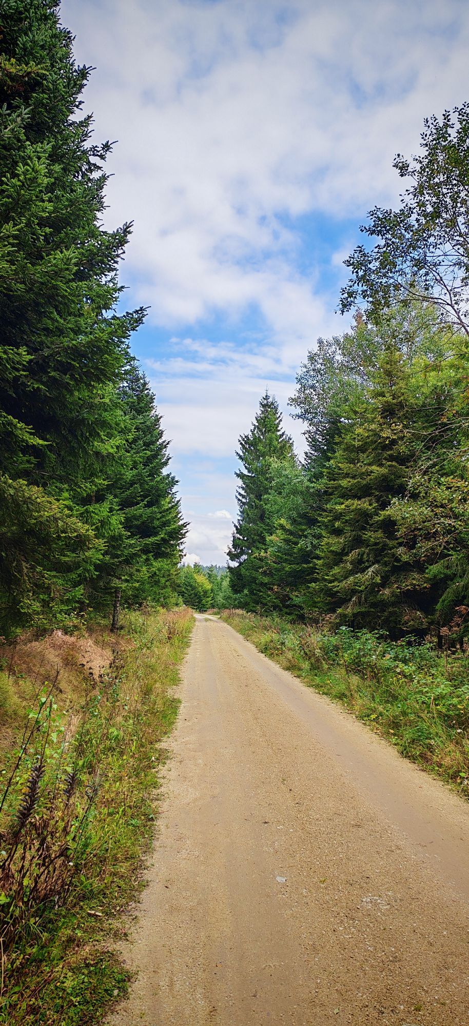
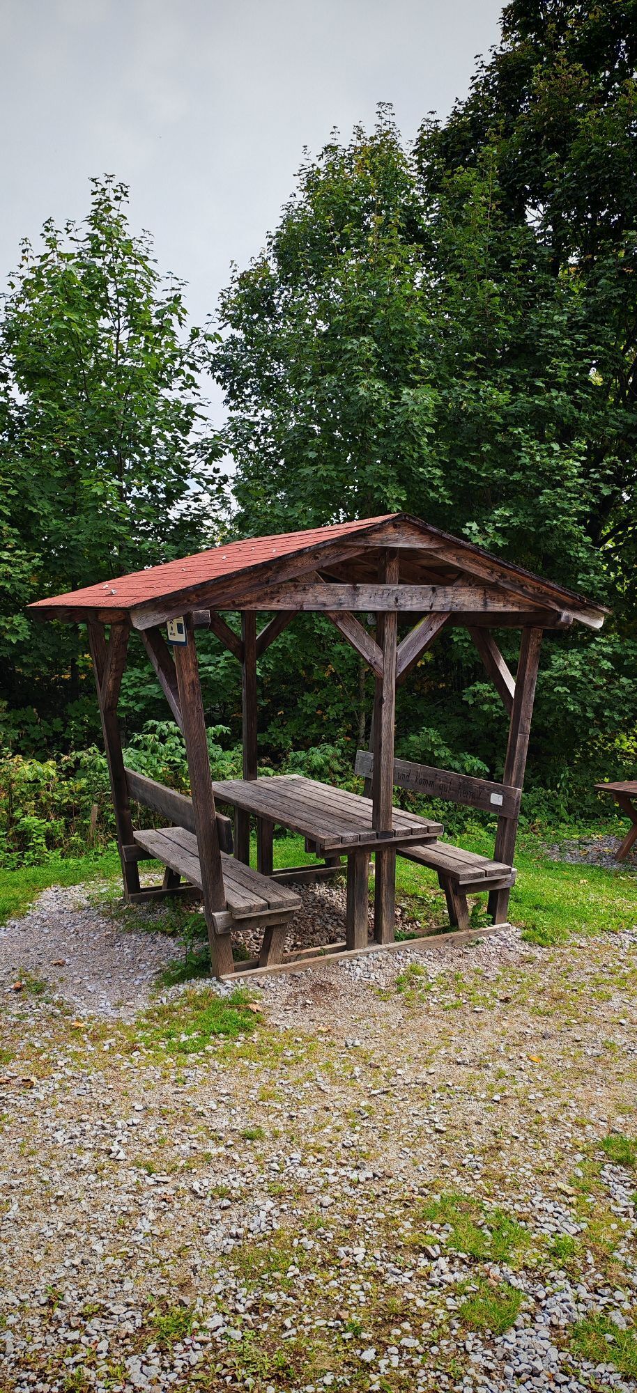
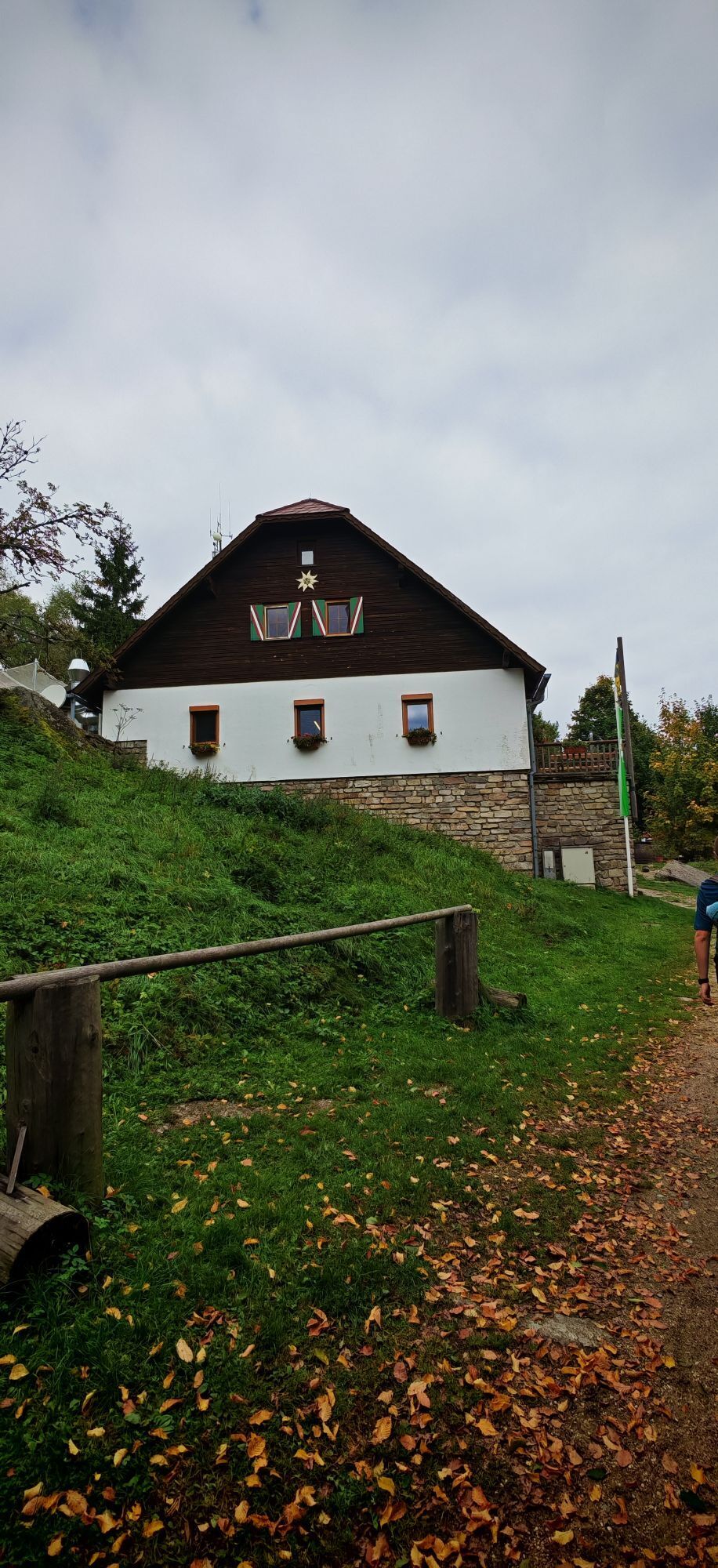
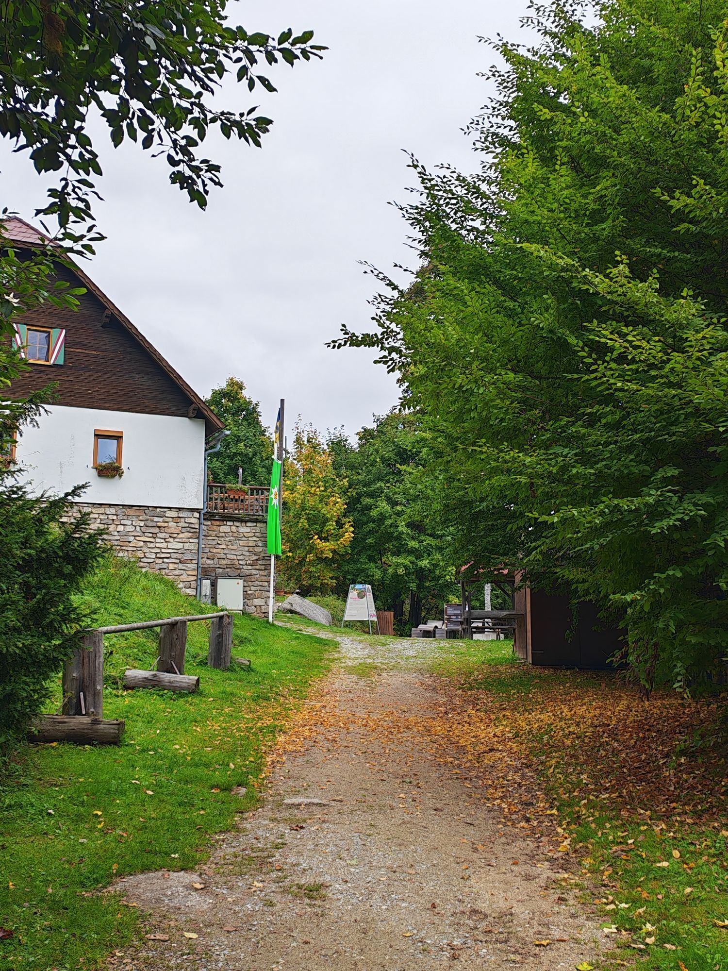
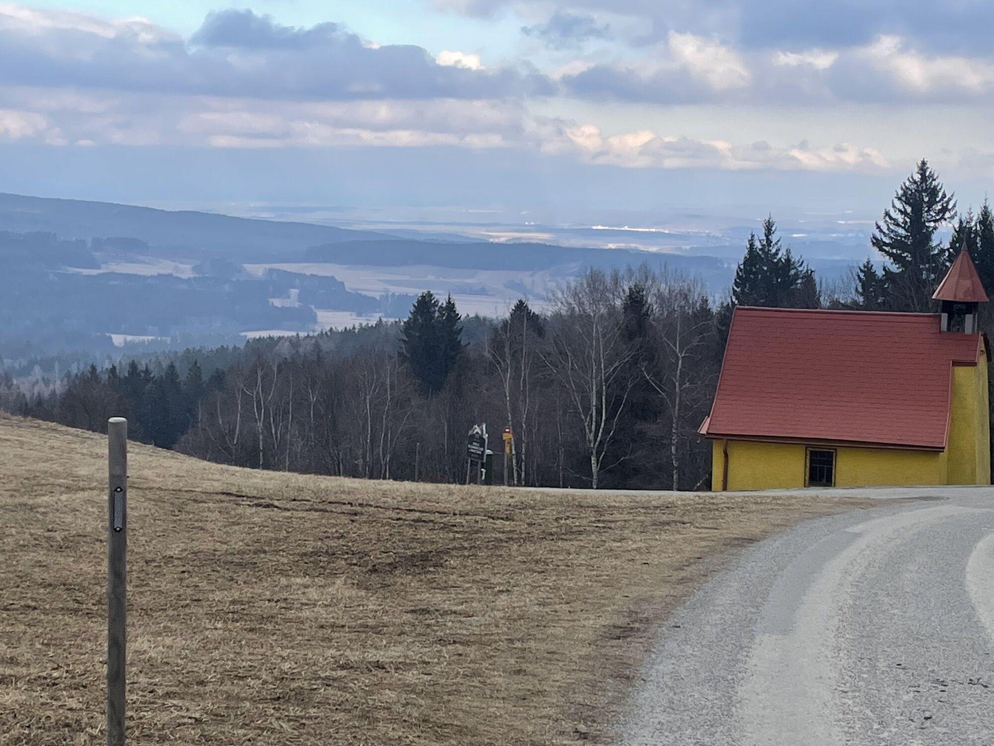
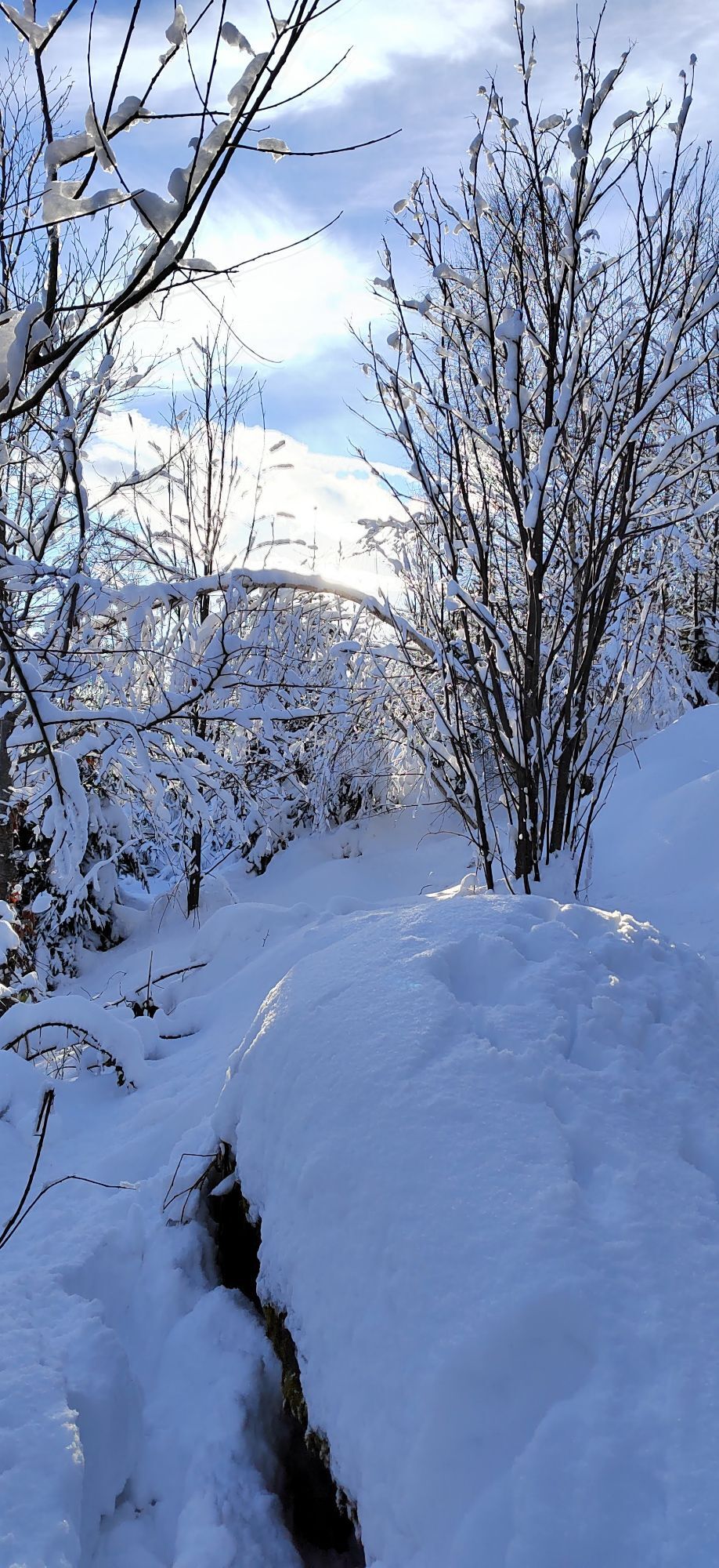

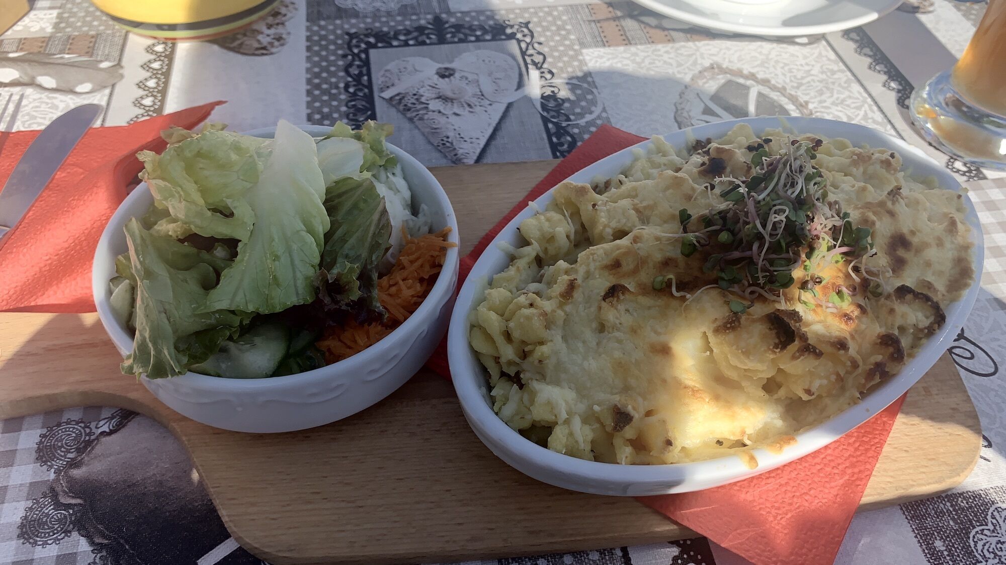


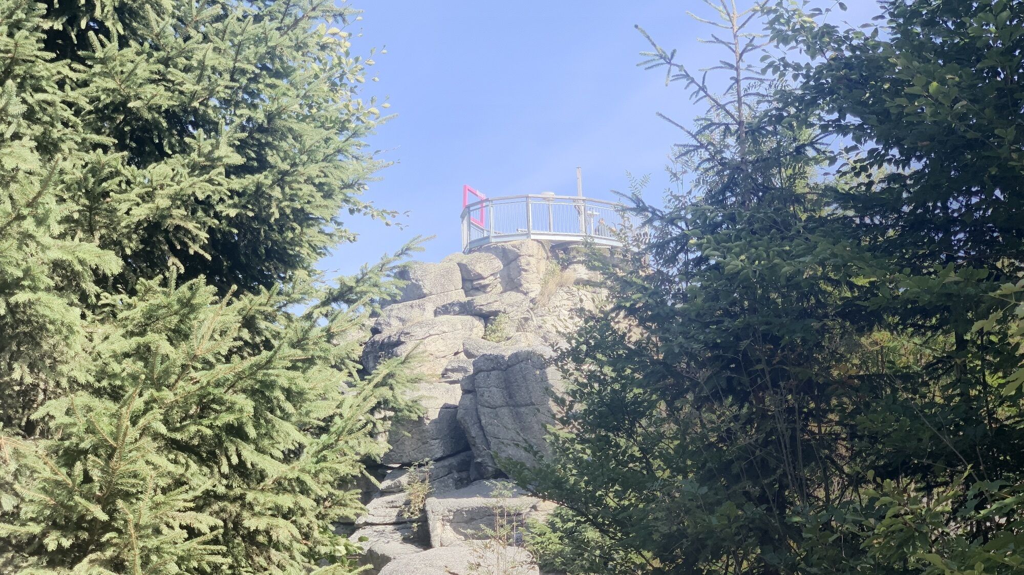
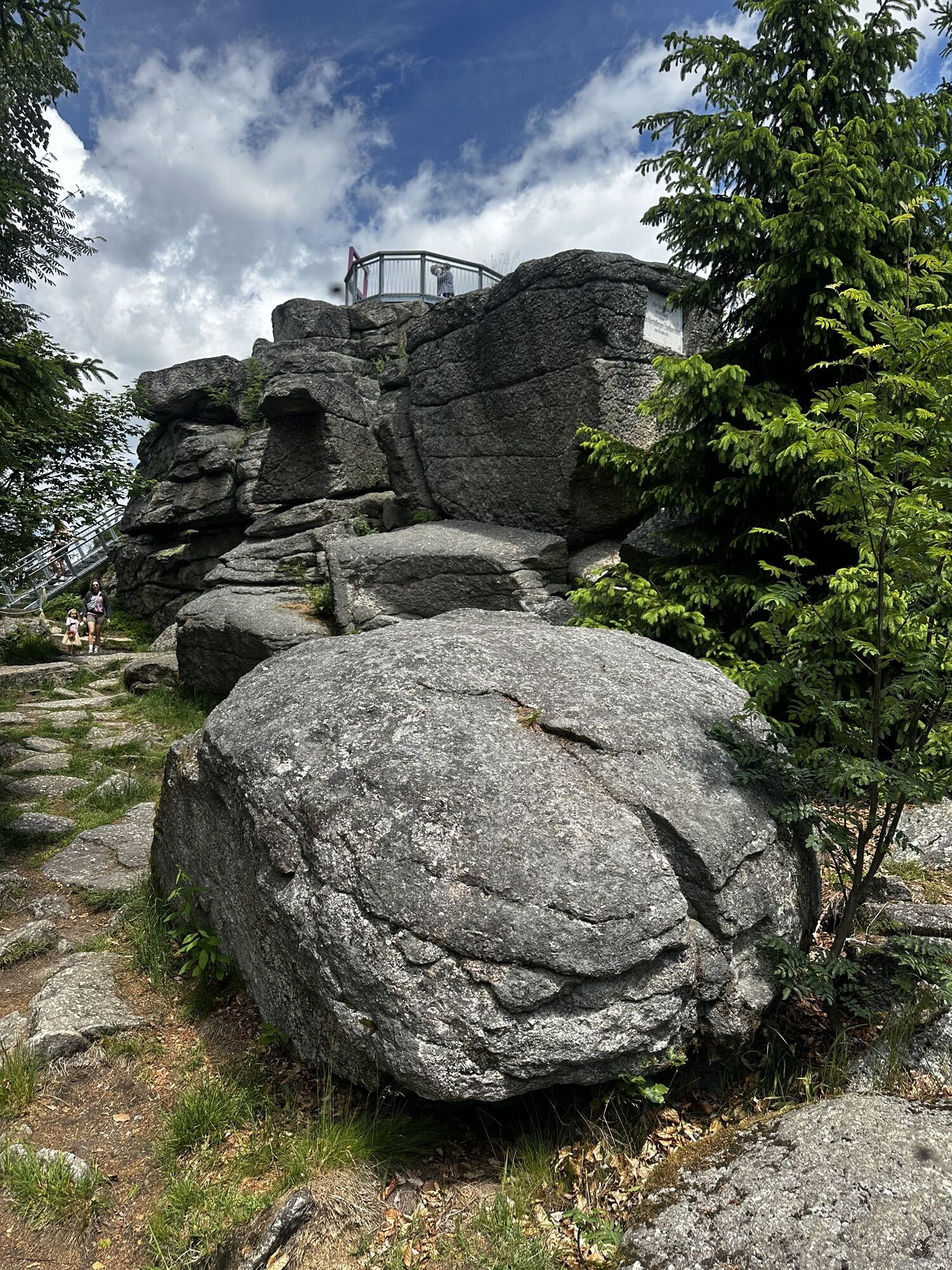
Wide views, clear air, rustic forests - this stage begins at the legendary Nebelstein with its impressive panorama and leads through the quiet Gabrielental, where flower meadows, mixed forest and the gently...
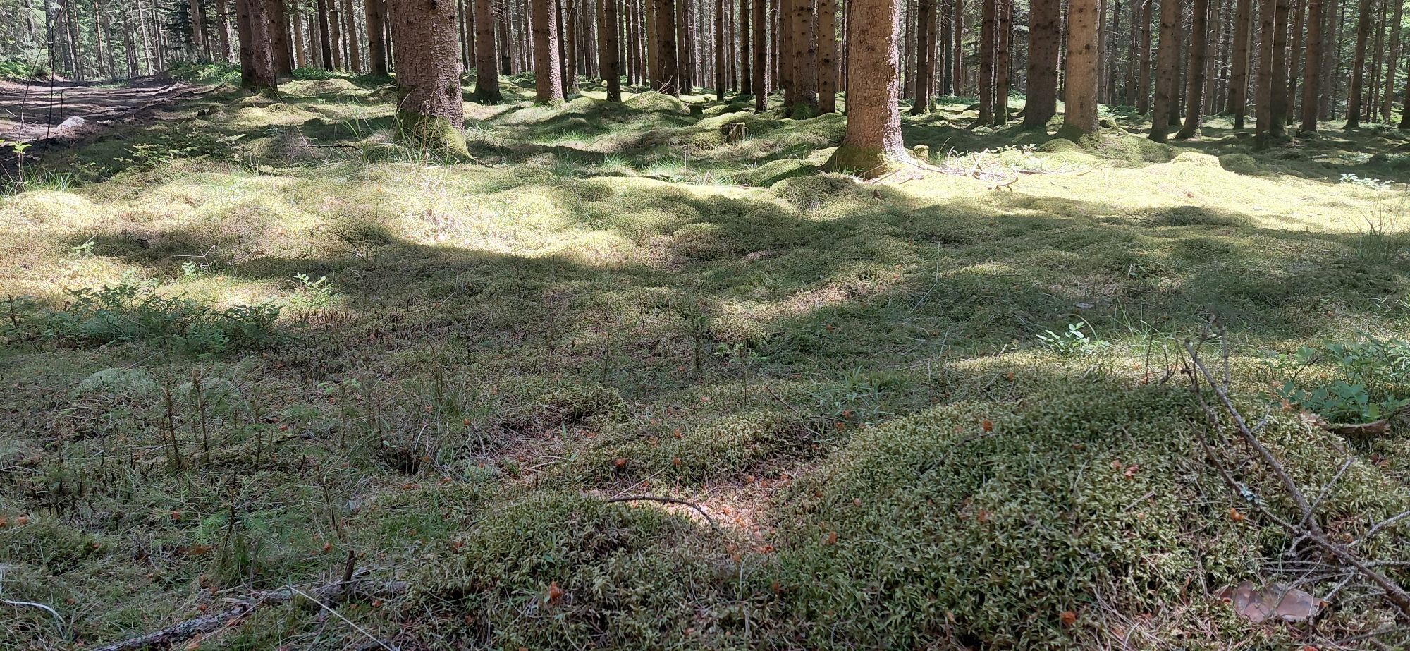
Wide views, clear air, rustic forests - this stage begins at the legendary Nebelstein with its impressive panorama and leads through the quiet Gabrielental, where flower meadows, mixed forest and the gently rippling banks of the Lainsitz spread a soothing tranquillity. Shortly afterwards, the oldest brewing town in Austria awaits you: Weitra. Medieval flair, colorful town houses, town walls and a castle with distant views make this route a real experience.
Highlights along the stage:
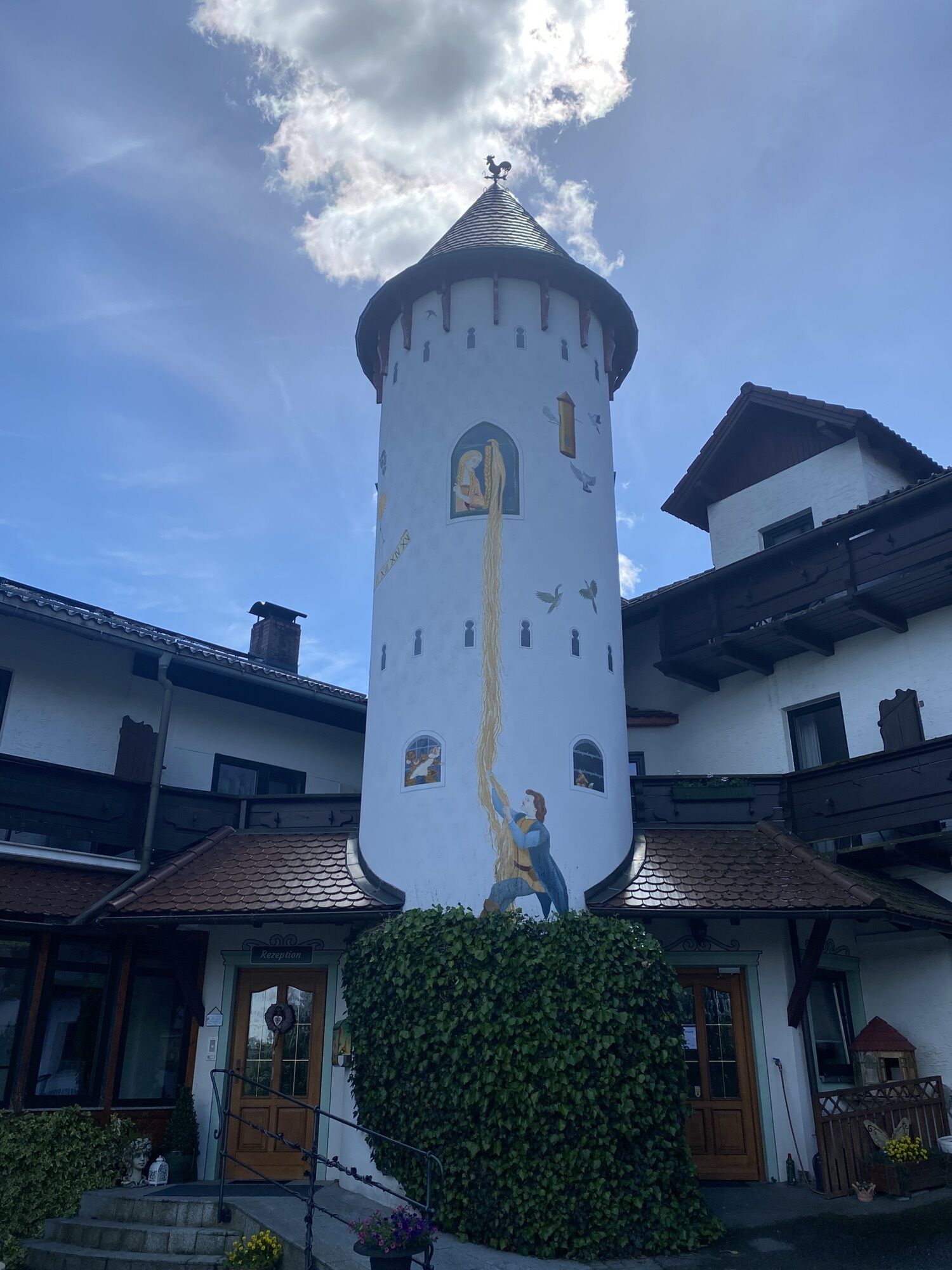
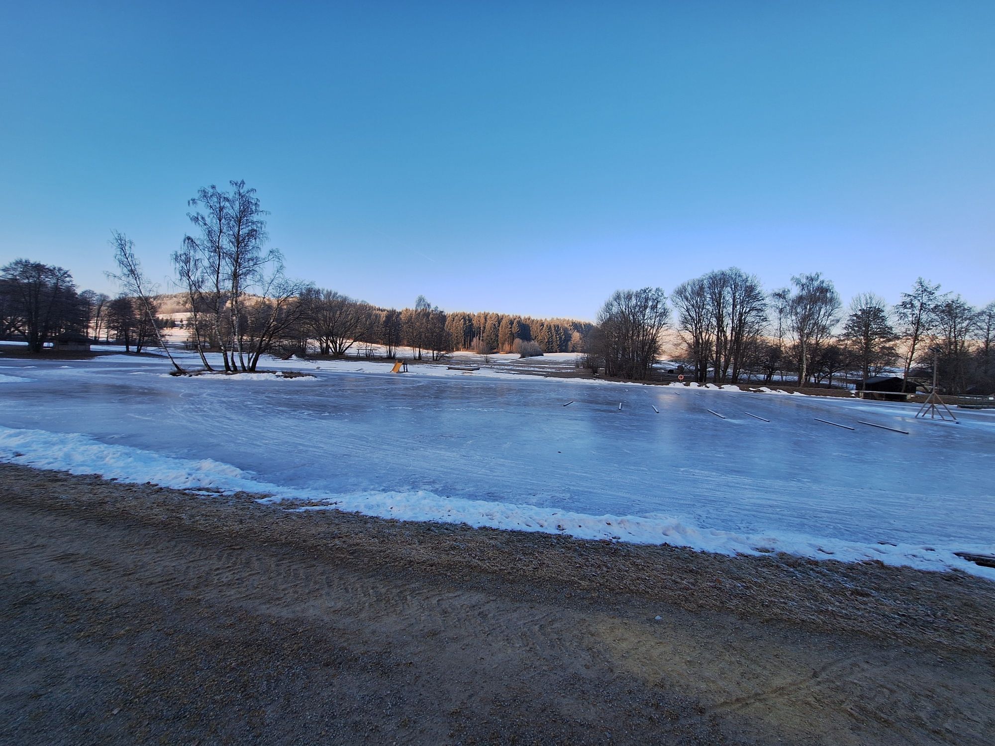
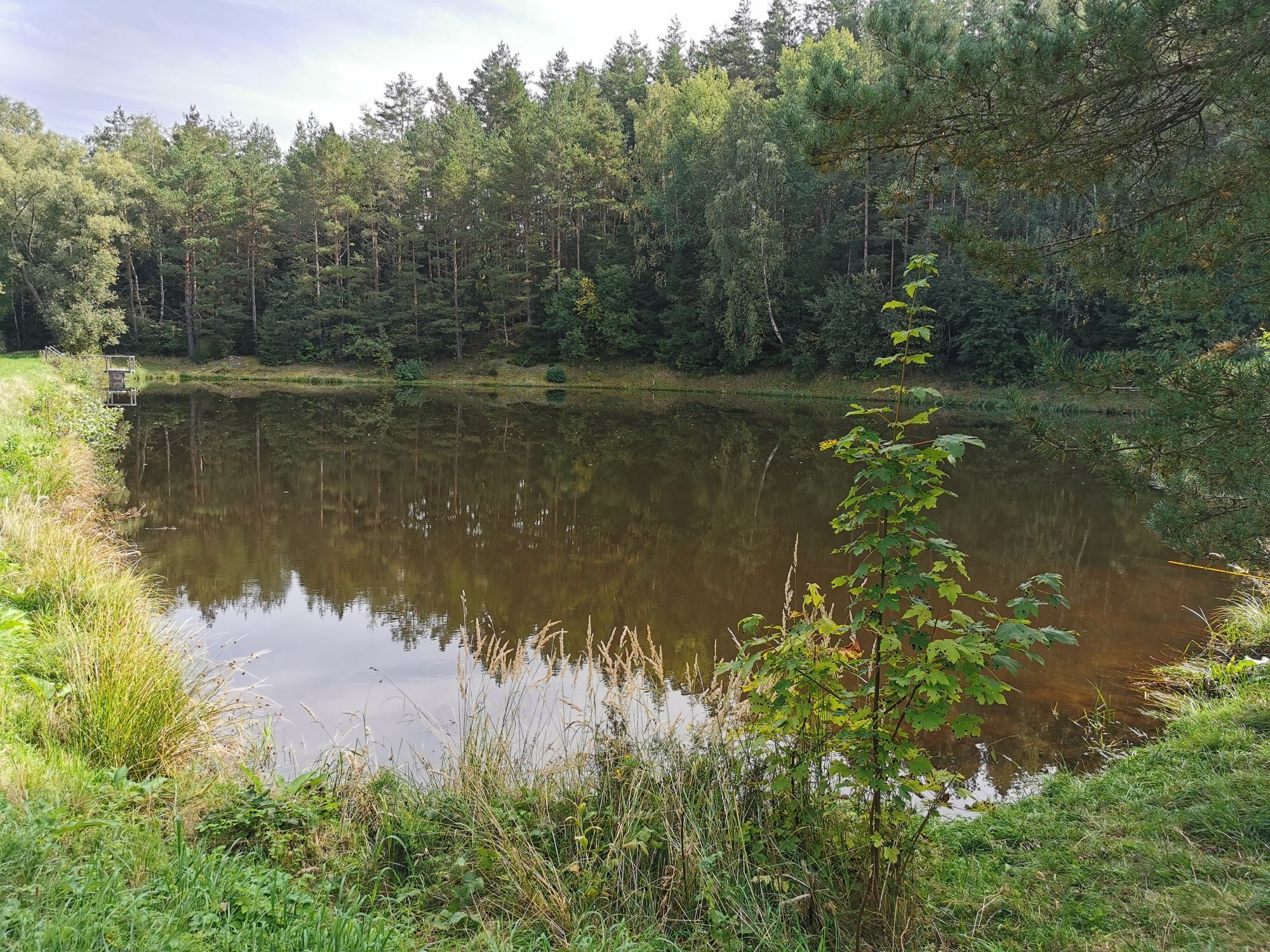
NebelsteinThe fairytale exhibition in the Nebelstein forest guesthouseKRISTALLIUM glas.erleben.Baldrian & Hackel studio in MaißenGabrielentalCity wall town WeitraGranite jewelry Reinhart KartuschWeitra CastleTraditional costume fashion MaisetschlägerHausschachen bathing pond
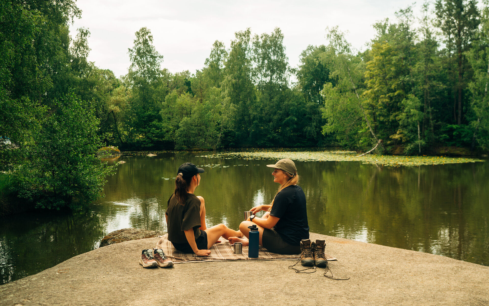
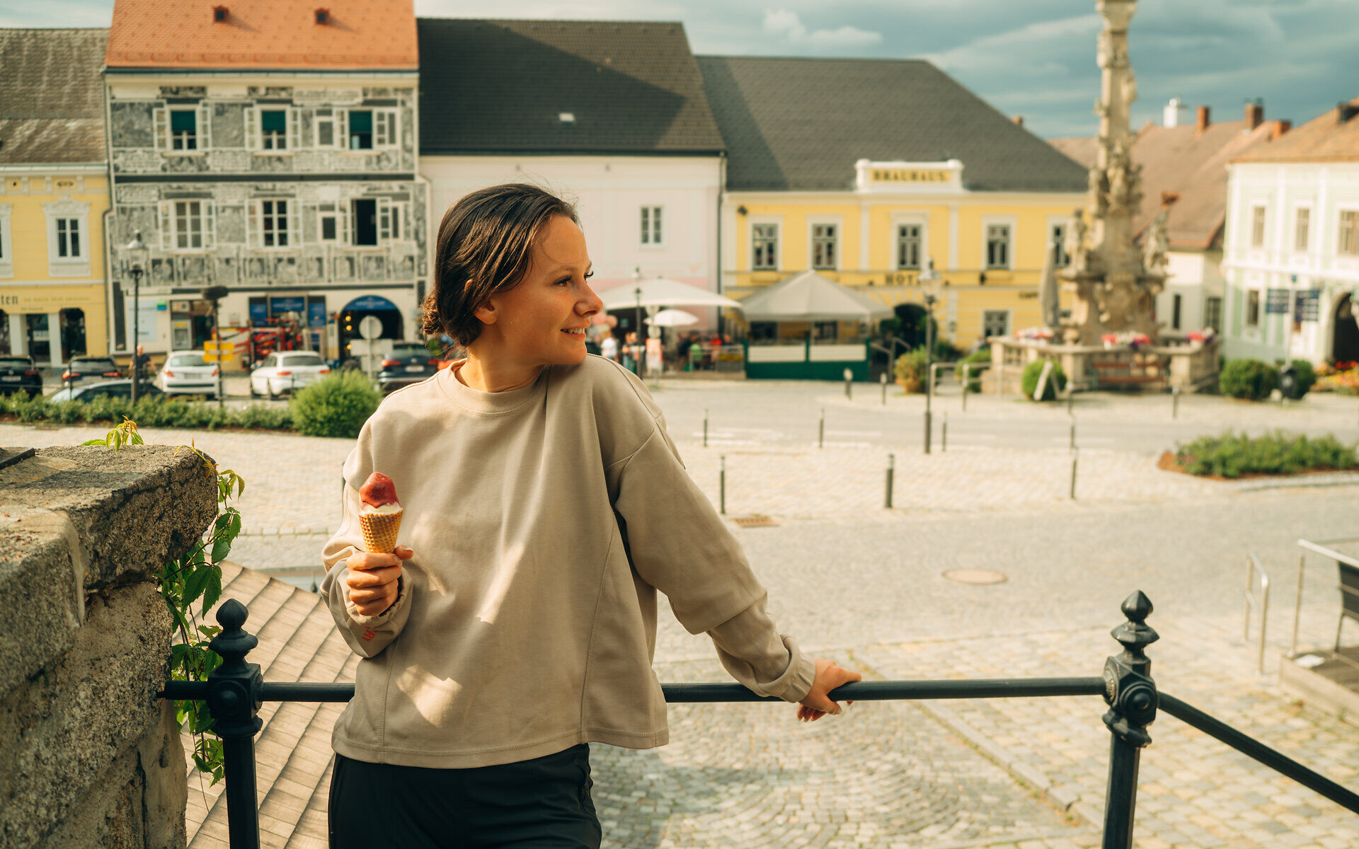
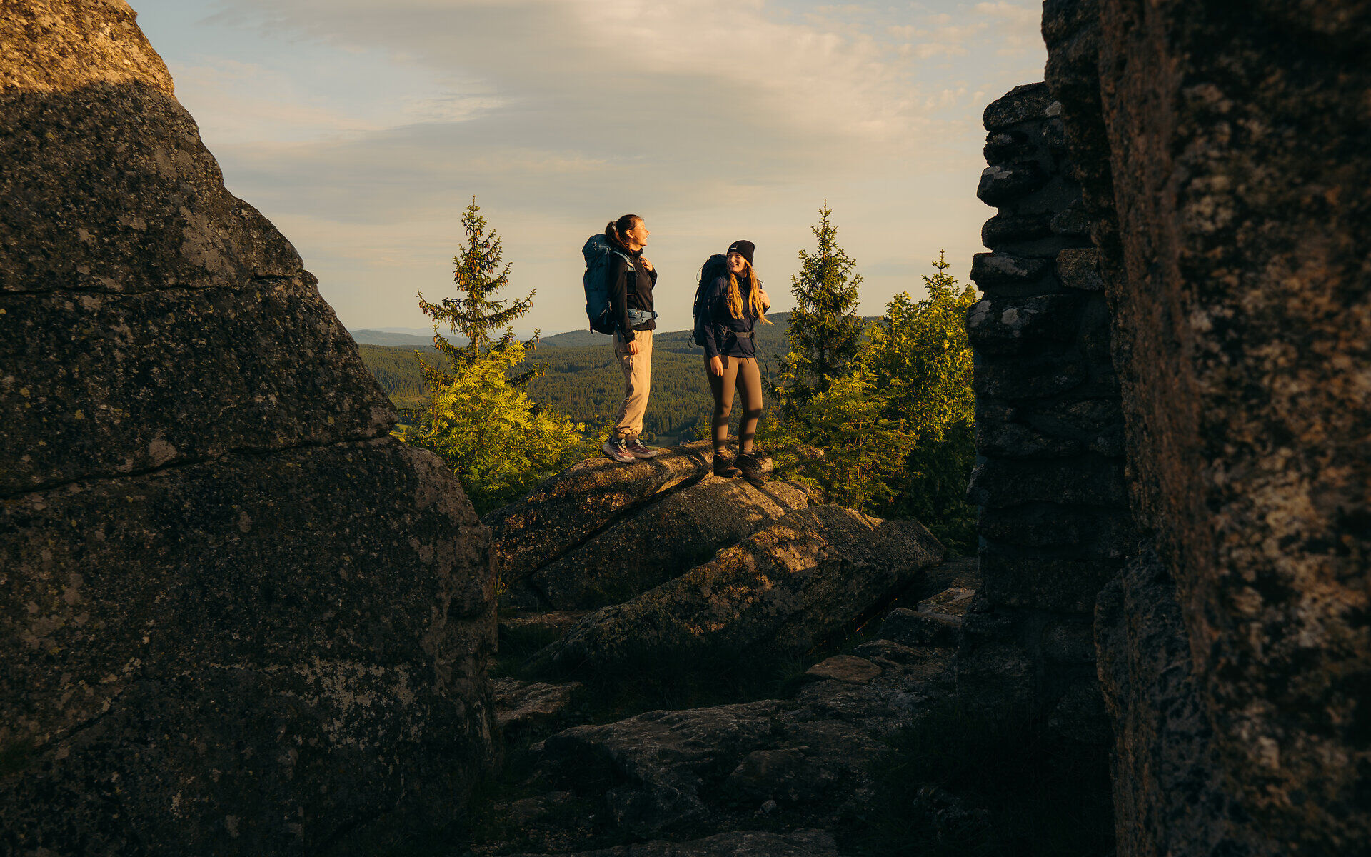

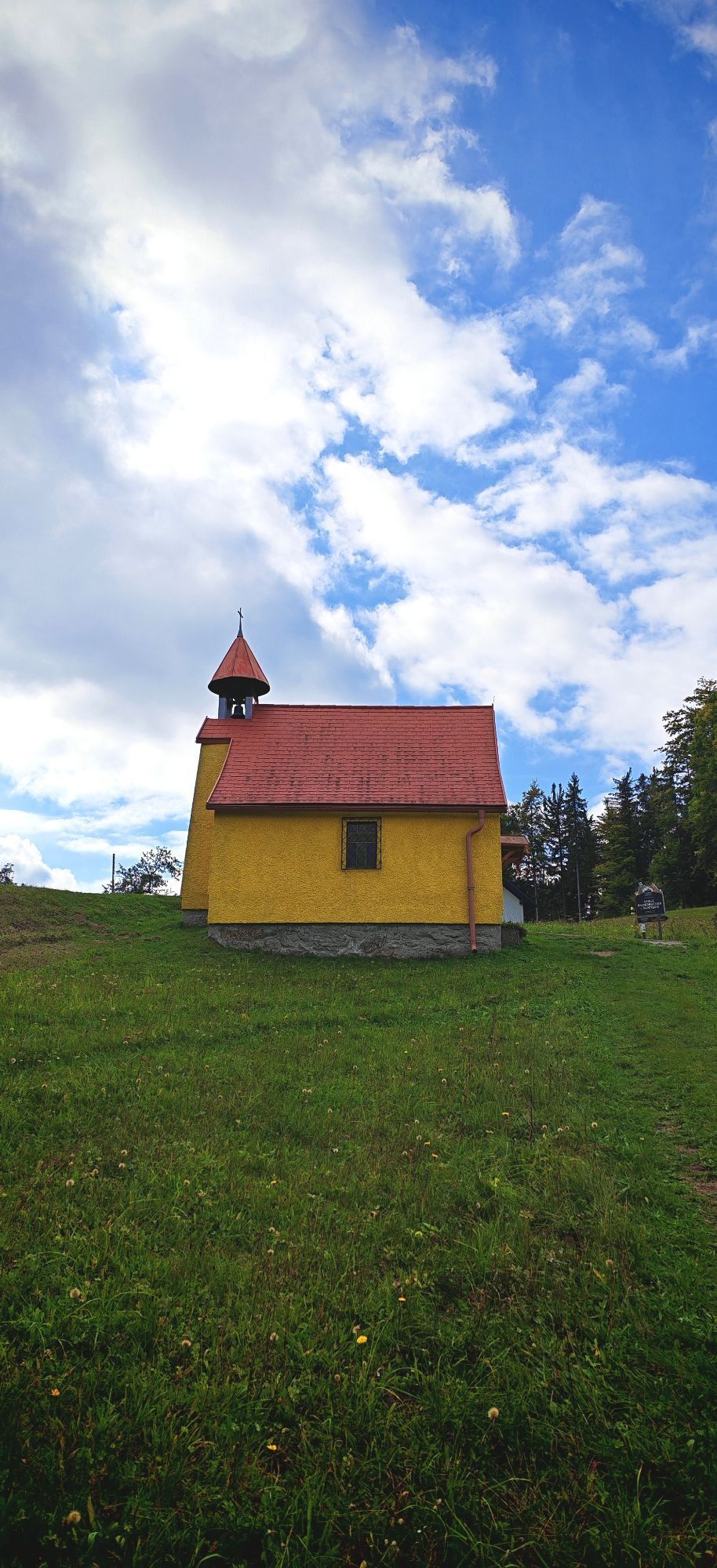
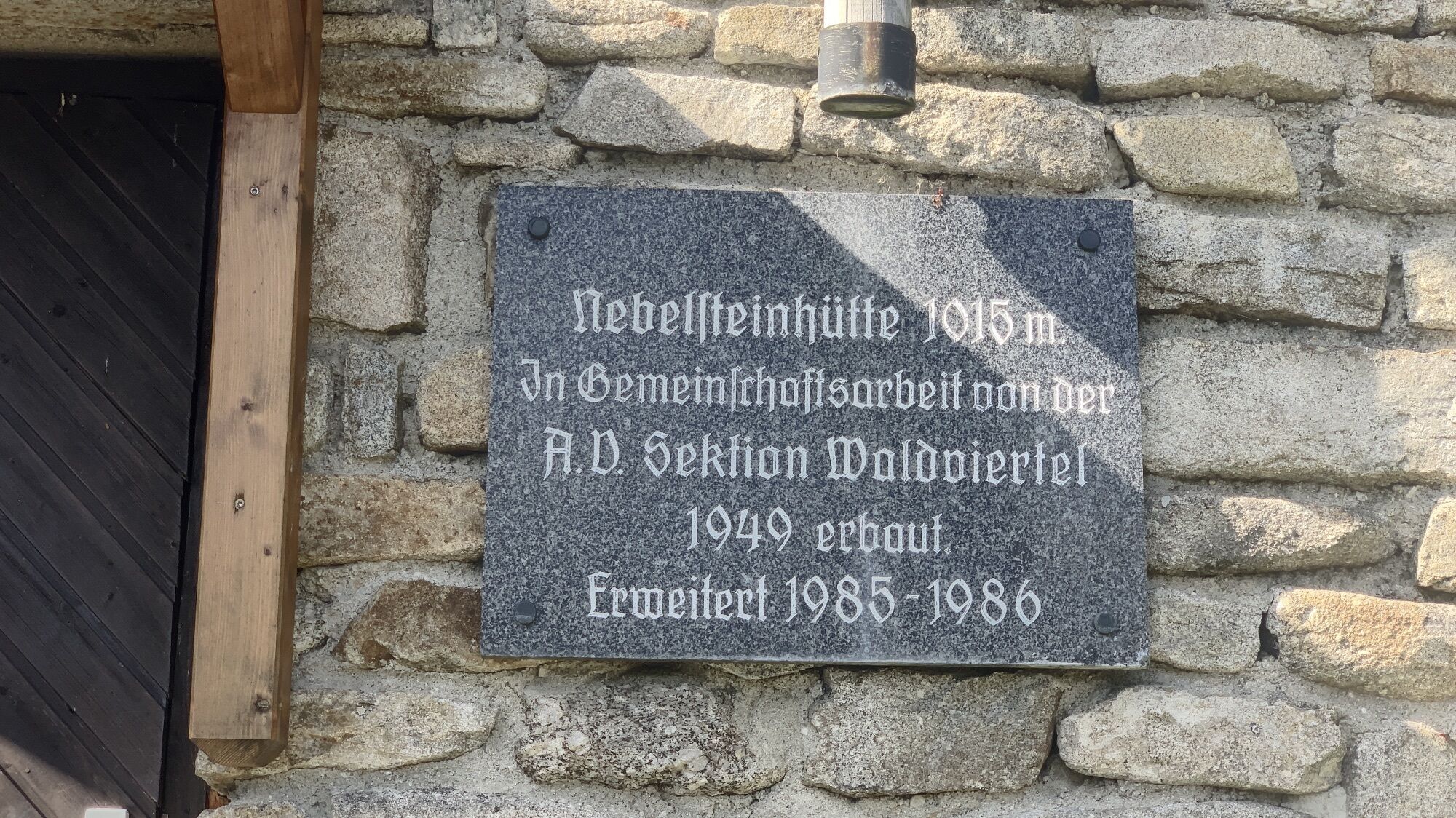
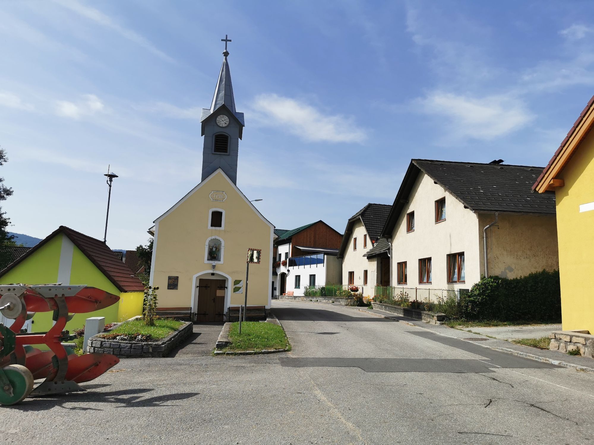
We leave the starting point at Nebelstein, turn left immediately after the Nebelstein hut, keep left at the junction of the Kamptalseeweg (620) and arrive at the Maissen Chapel. The path continues behind the chapel, passing by the Pension Nebelstein, we reach Holzmühle after 4 km. We follow the marking of the Thayatal route and next come to the village of Wultschau, which we pass through. Shortly after entering the forest, turn right towards Gabrielental to Weitra. After crossing the Lainsitz river and the road, the path leads through a narrow alley, up stone steps to the former city wall, and through a small door you enter the inner city of Weitra. We walk to the left and shortly arrive at the town square.
Linz - Freistadt - Sandl - Karlstift - Bad Großpertholz - St. Martin - Maissen - Nebelstein
Vienna - Krems - Zwettl - Weitra - St. Martin - Maissen - Nebelstein
Information at: www.vor.at
Alpine Club, Waldviertel Section
3830 Waidhofen an der Thaya, Hollenbach 120A
(T) +43 664 1112134
(E) waldviertel@sektion.alpenverein.at
Waldviertel Tourism
3910 Zwettl, Sparkassenplatz 1/2/2
(T) +43 2822 54109
(E) info@waldviertel.at
(I) www.waldviertel.at
Uzyskaj wgląd
Zawsze na żywo z ponad 9 500 kamer internetowych. bergfex Jako użytkownik Pro, możesz teraz zobaczyć odpowiednie kamery internetowe dla wielu wycieczek w aplikacji wycieczki od. Pozwala to na bezpośredni podgląd aktualnych warunków.
Aktywności na trasie


Popularne wycieczki w okolicy
-
4,5
Nebelstein Adventure Hiking Trail
średniWędrówka 11,1 km -
4,5
Mandelstein von Moorbad aus
światłoWędrówka 9,47 km -
4,7
Nebelsteinweg
Wędrówka 6,98 km -
4,1
Naturparkweg Bad Großpertholz
światłoWędrówka 7,17 km -
4,9
Mandlstein Heinrichs bei Weitra Erlebnisweg
światłoWędrówka 13,1 km -
3,4
Zwei-Tausender-Tour Tischberg-Eichelberg
światłoWędrówka 12,4 km -
4,4
Nebelstein vom Moorheilbad
średniWędrówka 12,9 km -
4,8
4-Berge Marsch Mandelstein - Nebelstein - Wachberg - Johannesberg
Wędrówka 30,8 km -
4,0
Nordwaldstrecke
Mountainbike 25,1 km -
5,0
Freiwald route
średniMountainbike 33,3 km
Wędrówki i tropienie


Nie przegap ofert i inspiracji na następne wakacje
Twój adres e-mail została dodana do listy mailingowej.





