






Pengers

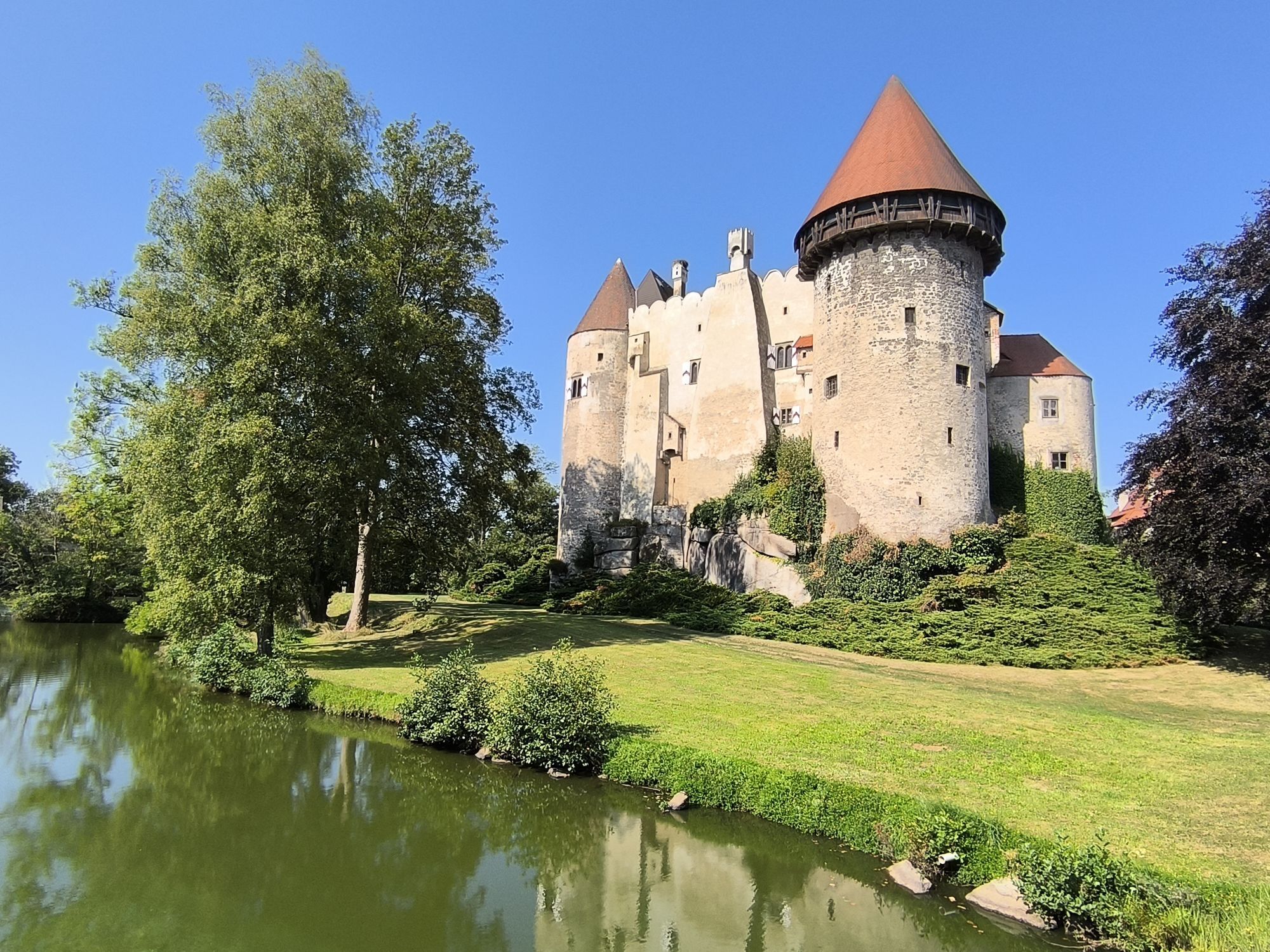
As a memento of your hike along the Pengers Trail in the Waldviertel, you can pick up a Heidenreichstein Castle hiking token at the ticket office in Heidenreichstein Castle.
Hiking stamps are round, wood-burned...
As a memento of your hike along the Pengers Trail in the Waldviertel, you can pick up a Heidenreichstein Castle hiking token at the ticket office in Heidenreichstein Castle.
Hiking stamps are round, wood-burned and inscribed plaques that serve as a souvenir and at the same time as an award for outstanding achievements. Hard-working hiking stamp collectors are rewarded with a free premium hiking stamp. You can find more information at www.wandermarken.at.

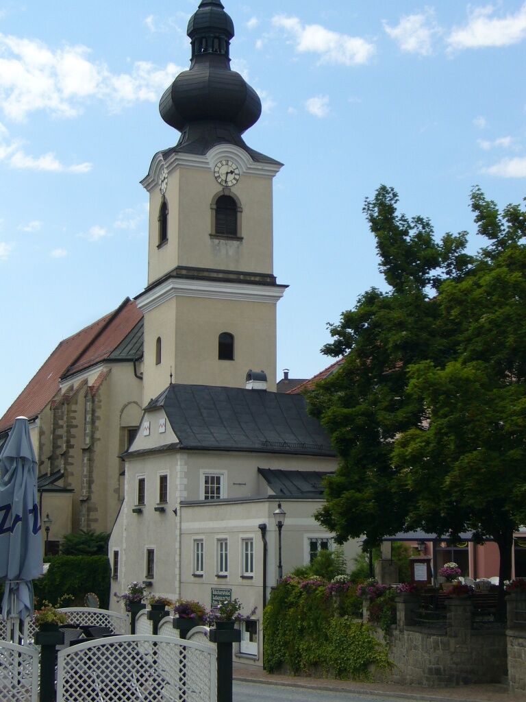
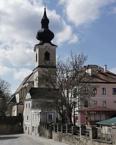
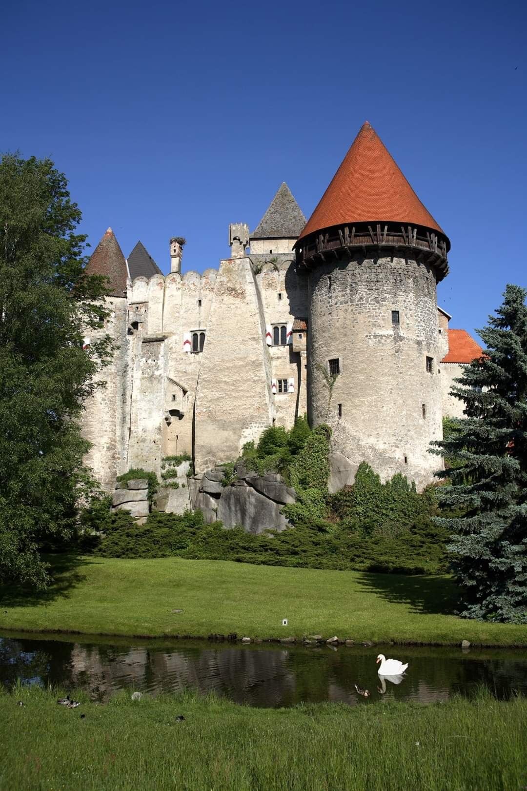
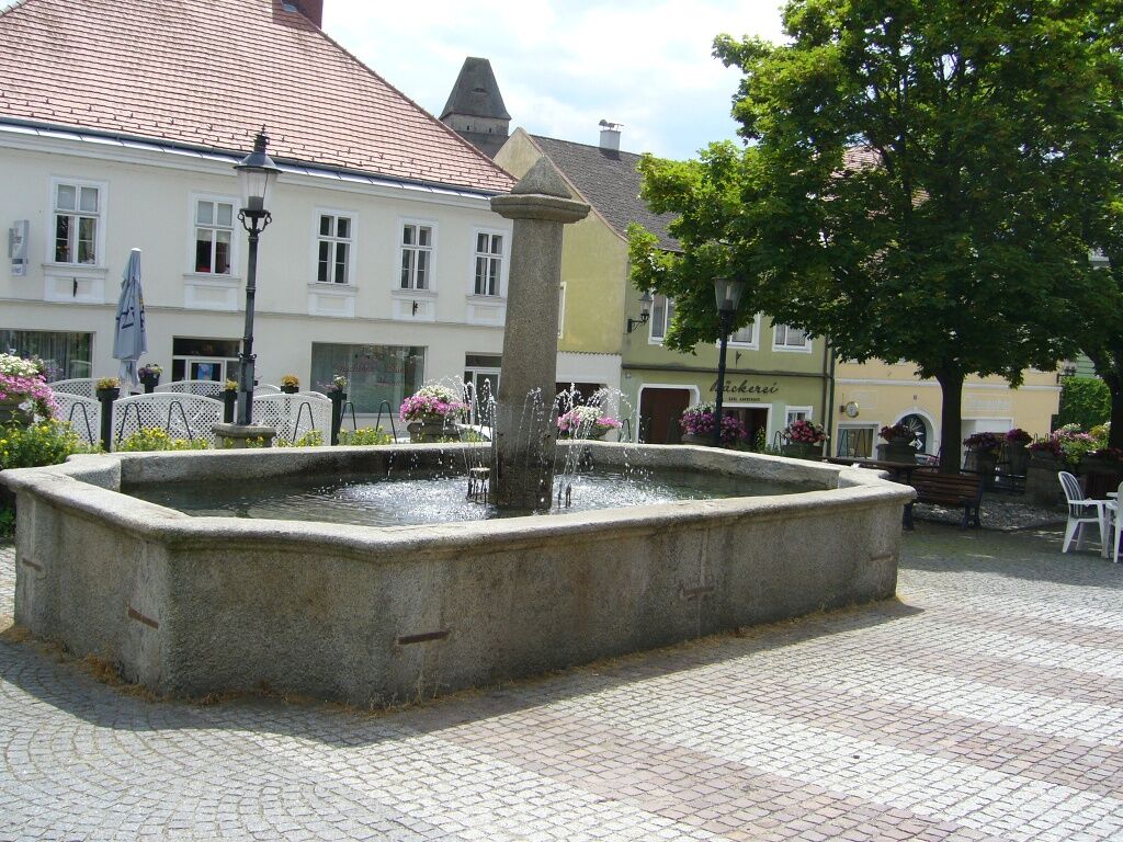
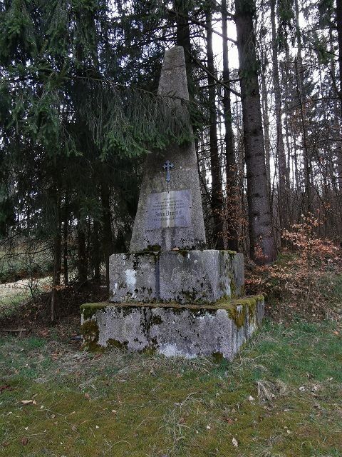
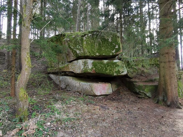
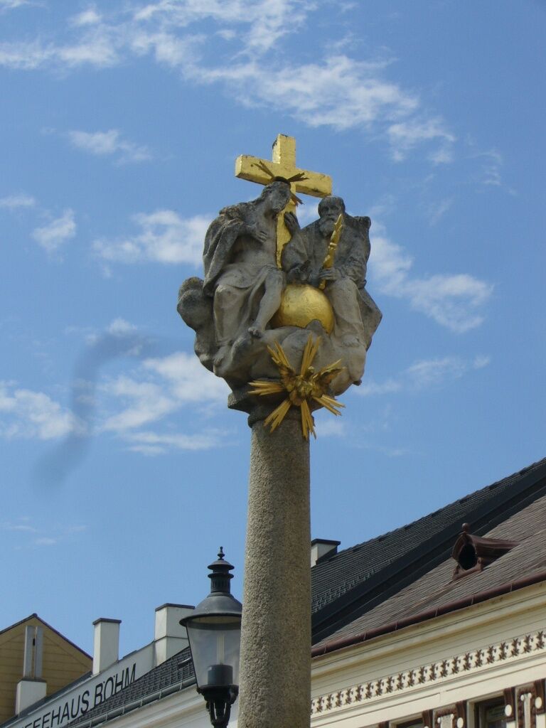
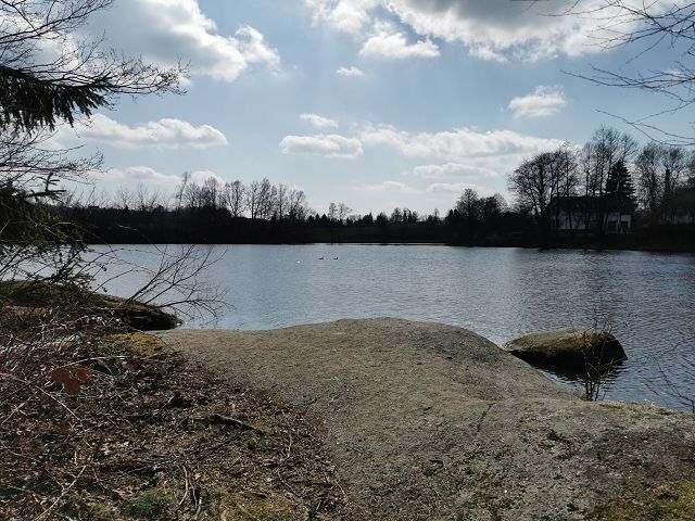
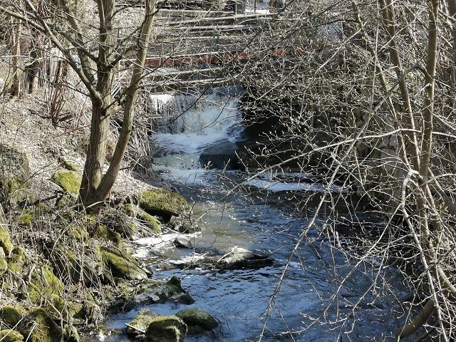
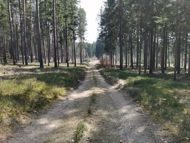
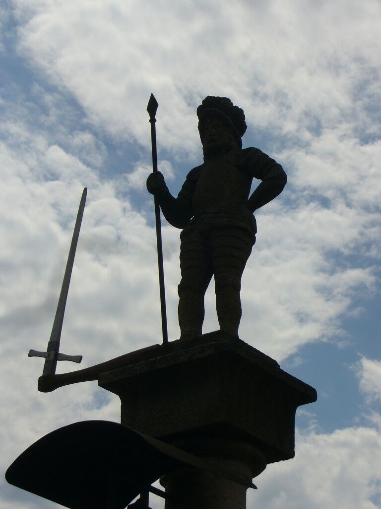

From the starting point, the bus station opposite the beautiful Wasserburg, the path leads over the Stadtplatz, past the Trinity column into Litschauer Straße. Past the mortuary on the left, along the Ingeborg-Bachmann-Park, then along Kautzener Straße into Edlauweg. On clear days, there is a view as far as Nebelstein, the highest peak of the northern Waldviertel at 1017m. Passing the scattered settlement of Edlau, the farm road continues past the waterworks towards the forest. After a short stretch on the Thayatal federal road, turn left onto a forest road. From here you can see the village of Motten. After a section on the gravel path, past some houses, the trail goes down a forest path. On the left you can see the Edelmühl pond. At the intersection with Pochergasse, the path leads left over Otto Franke Gasse, through a narrow path along the Hofwehrteich into Haydngasse. Through a narrow meadow path it continues to Jägergasse and back over the Stadtplatz to the starting point of the hike.
Route characteristics: 50% asphalt, 10% gravel road, 40% forest and meadow path
Heidenreichstein Tourist Information
3860 Heidenreichstein, Stadtplatz 1
(T) +43 2862 52619
(E) info@waldviertelnord.at
(I) www.waldviertelnord.at
Waldviertel Tourism
3910 Zwettl, Sparkassenplatz 1/2/2
(T) +43 2822 54109
(E) info@waldviertel.at
(I) www.waldviertel.at
Popularne wycieczki w okolicy
-
4,4
Rund um den Herrensee in Litschau
światłoWędrówka 4,65 km -
5,0
Thayarunde Slavonice-Waidhofen-Göpfritz
średniJazda na rowerze 47,5 km -
4,6
Gemeinde Heidenreichstein - Winkelauer Berg - Seyfrieds
światłoWędrówka 7,24 km -
5,0
Naturlehrpfad Heidenreichsteiner Moor
światłoWędrówka 4,56 km -
5,0
Höllgrabenweg
średniWędrówka 8,89 km -
5,0
TiWaLi - Neu-Nagelberg Grenzweg, Österreich
światłoWędrówka 10,7 km -
TiWaLi - Kleineibenstein, Österreich
światłoWędrówka 10,5 km -
08 Eisenwurzenweg, Etappe 01: Litschau - Haugschlag - Rottal
światłodługodystansowy szlak pieszy 16,7 km -
3,0
Raised bog hiking trail (Tut-gut route 1)
światłoWędrówka 4,84 km -
5,0
Rundfahrt GD-Schrems
średniMountainbike 25,8 km
Wędrówki i tropienie


Nie przegap ofert i inspiracji na następne wakacje
Twój adres e-mail została dodana do listy mailingowej.





