







Meridianweg-Rundwanderweg


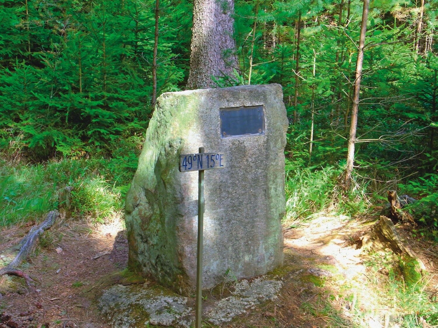

The circular hiking trail (easy, suitable for families) passes by the meridian stone and continues on to Rottal, home to Austria’s northernmost inn. At the Europa Oak (signpost listing destinations in Europe), it’s worth taking a detour to Austria’s northernmost point (about 1 km) or across the border to the Hotel Perslak. The trail then returns to Haugschlag via Lerchenfeld—passing the golf resort. The trail runs mostly through shady forests and past several ponds. It connects to Hiking Trail No. 13 to the Fiedelstein.
Sturdy shoes, functional clothing, sun and rain protection, maps, trekking poles if needed, first-aid kit (blister bandages), plenty of food (snacks, granola bars, fruit, water).
Route characteristics: 60% dirt roads, 40% paved roads
When choosing a route, make sure it matches your fitness level. Check to see if the restaurants you plan to visit along the way are open. Pack your cell phone and maps in your backpack.
You can plan your exact route using the VOR route planner. www.vor.at
Municipality of Haugschlag
3874 Haugschlag 110
(T) +43 2865 8206
(E) gemeinde@haugschlag.gv.at
(E) info@waldviertelnord.at
(I) www.haugschlag.gv.at
(I) www.waldviertelnord.at
Waldviertel Tourism
3910 Zwettl, Sparkassenplatz 1/2/2
(T) +43 2822 54109
(E) info@waldviertel.at
(I) www.waldviertel.at
Popularne wycieczki w okolicy
-
4,4
Rund um den Herrensee in Litschau
światłoWędrówka 4,65 km -
5,0
Höllgrabenweg
średniWędrówka 8,89 km -
08 Eisenwurzenweg, Etappe 01: Litschau - Haugschlag - Rottal
światłodługodystansowy szlak pieszy 16,7 km -
3,0
Grenzlandwanderung Reingers/Böhmerwald
światłoWędrówka 12,6 km -
08 Eisenwurzenweg, Etappe 02: Haugschlag - Gmünd
światłodługodystansowy szlak pieszy 38,9 km -
5,0
Short circular route around Litschau
średniWędrówka 14,7 km -
Eulenberg-Strecke mit Dachsgrabentrail
światłoE-MTB 45,1 km -
Steinhübel-Strecke mit Wackelstein
światłoE-MTB 35,5 km -
To Graselstein - Dachsengraben
średniWędrówka 11,9 km -
To the Fiedelstein
światłoWędrówka 10,6 km
Wędrówki i tropienie


Nie przegap ofert i inspiracji na następne wakacje
Twój adres e-mail została dodana do listy mailingowej.





