


Bruneiteichweg
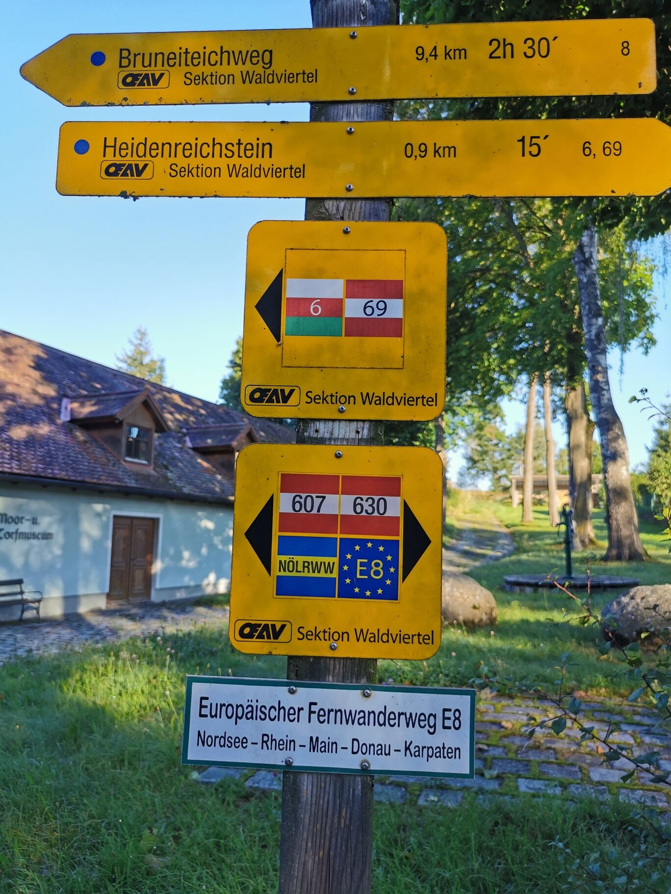
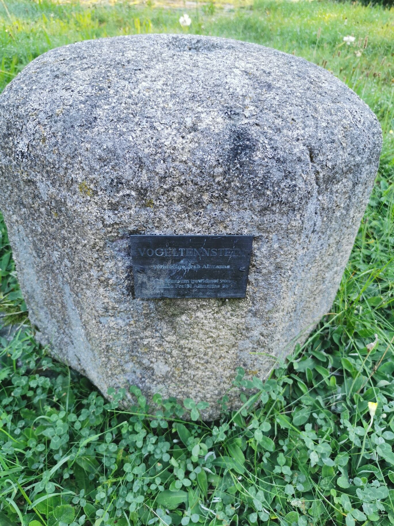
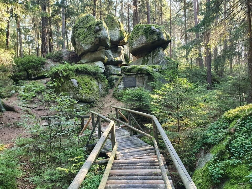
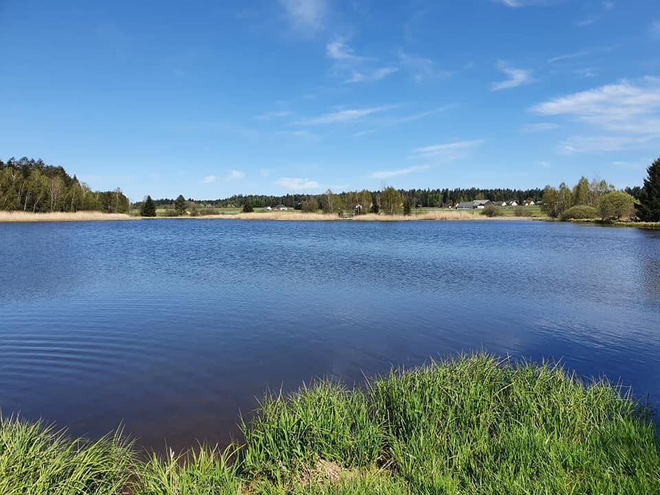
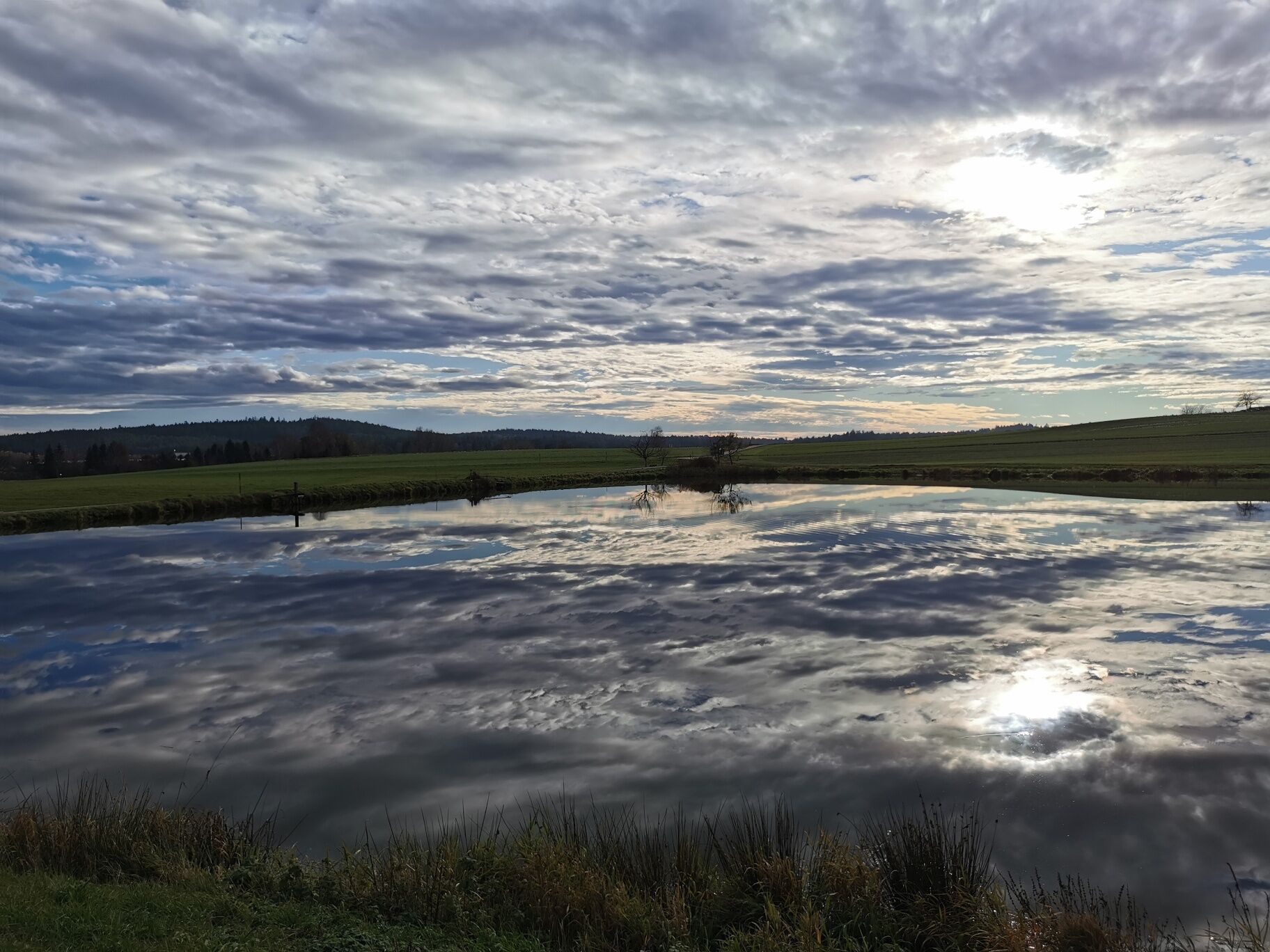
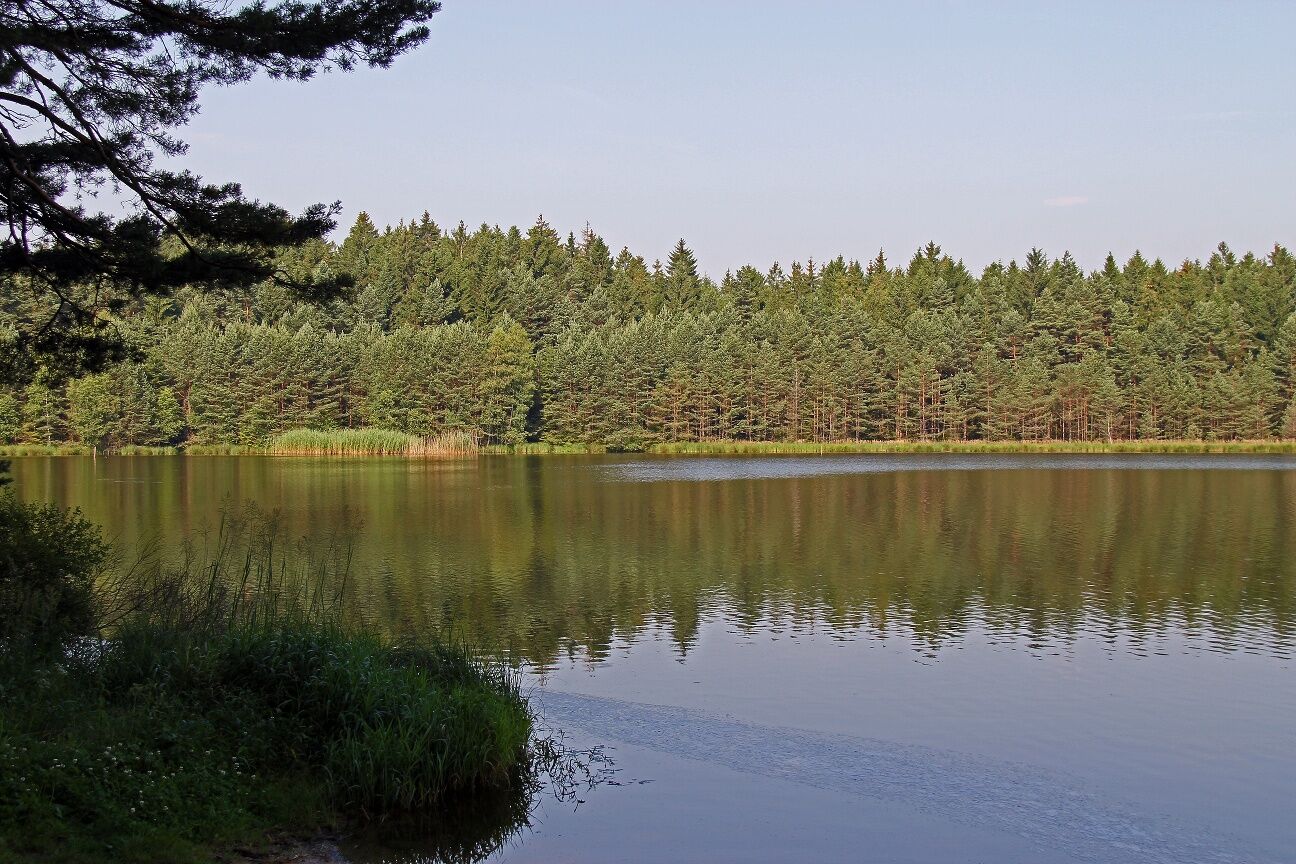
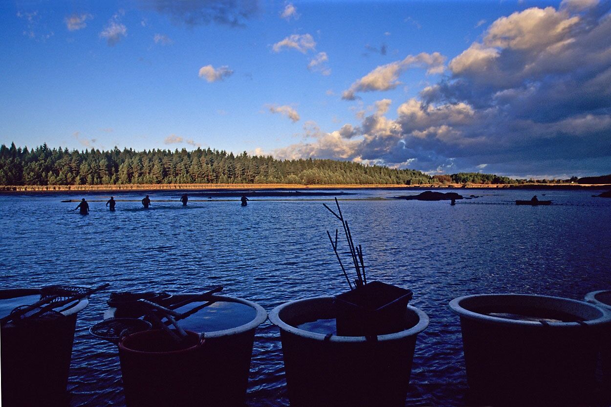
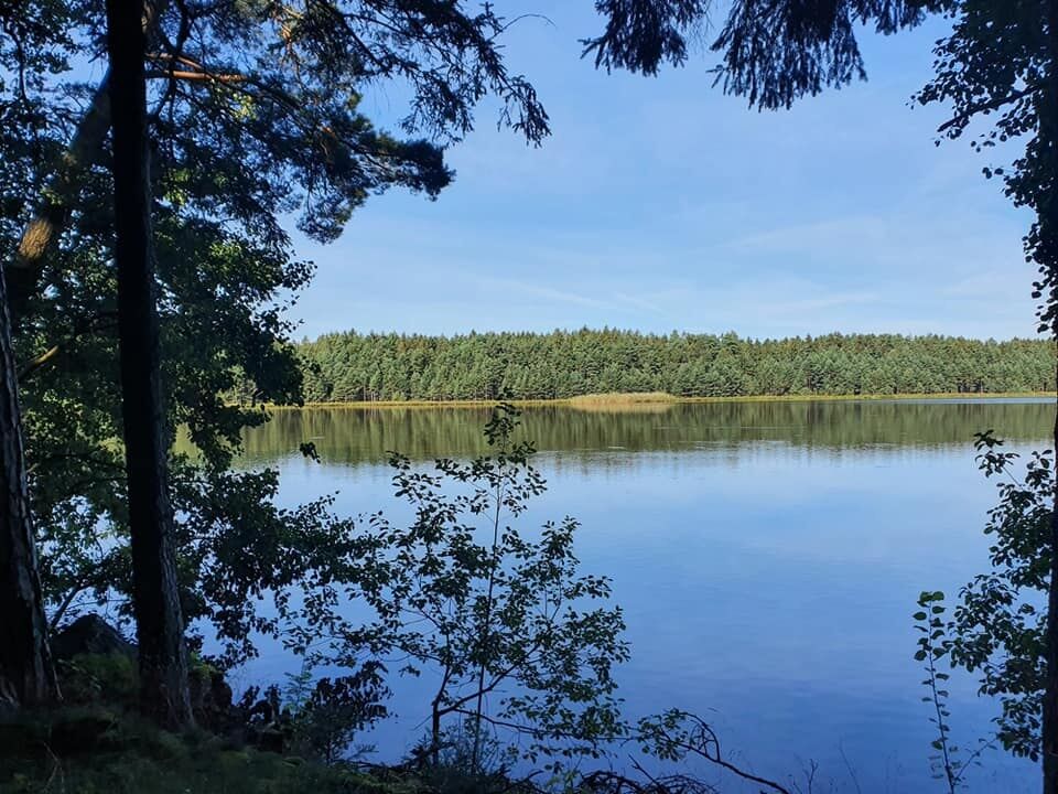
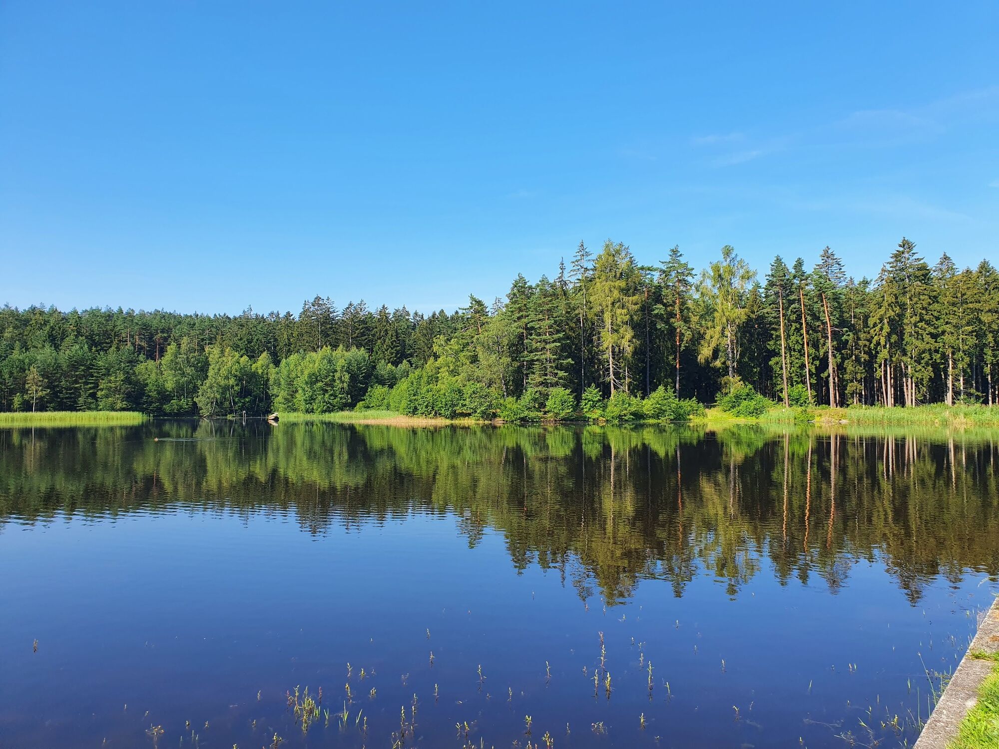
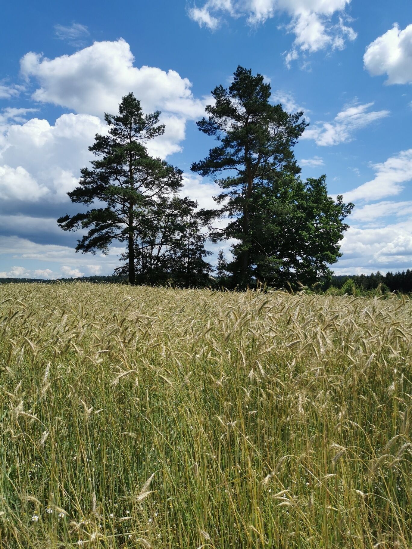
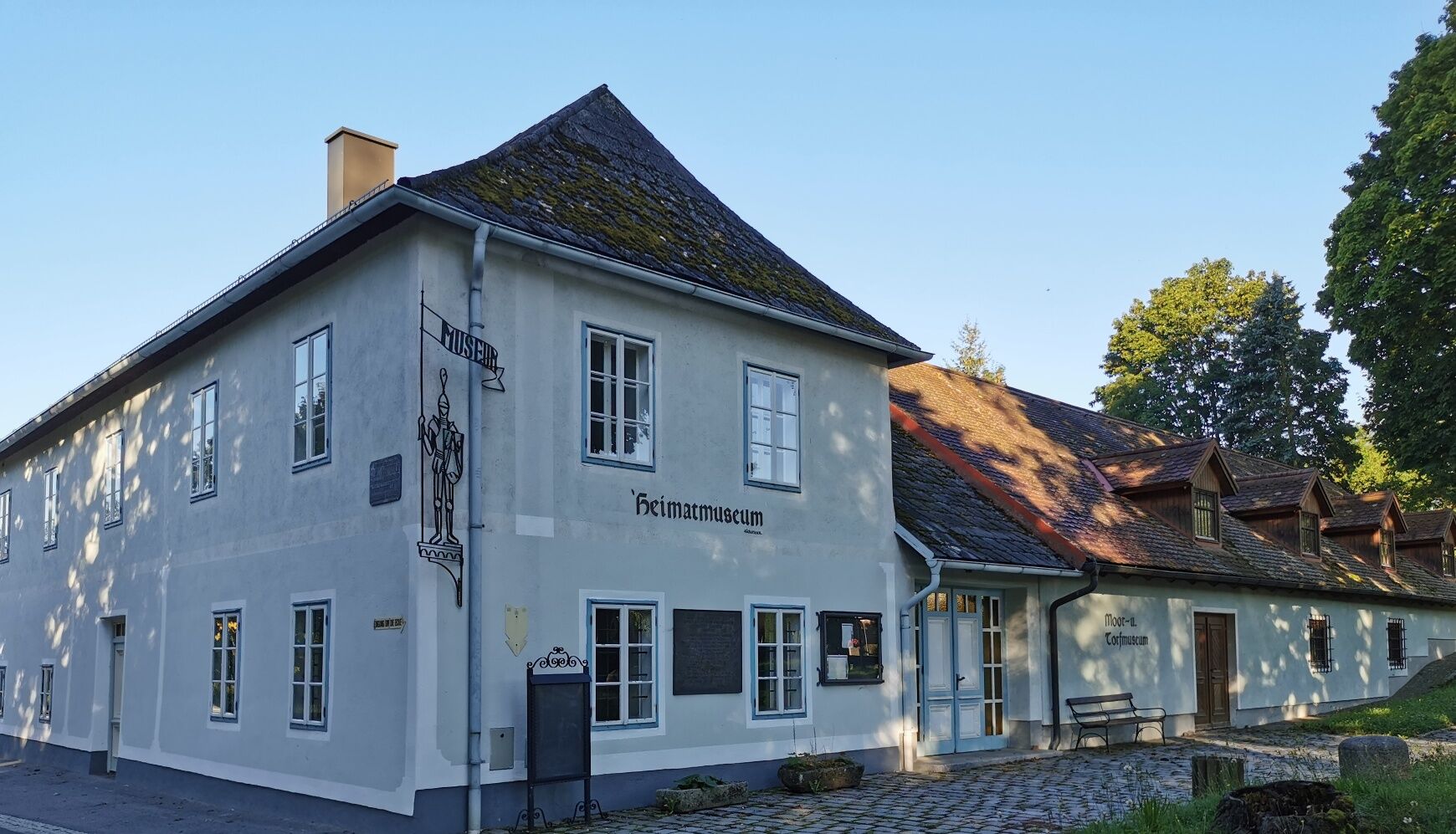
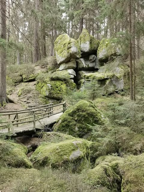
From the starting point local history museum and House of the Moor with the mineral room, go left and at the intersection with the farm road "Altmanns" turn right over the railway tracks to the Edelweiher. The Edelweiher and its smaller companion located a little higher are very idyllic places with wonderful views. Continue through Altmanns, past the parson's cross, the village center "Old School", the war memorial and the chapel. After leaving the village, the path crosses the Braunaubach, one of the source rivers of the Moldau and Elbe. After the junction, go right past a small private fish pond heading towards the forest. At the Bruneiteich, the well-attended fish harvest festival of the pond stewards takes place every year on the Saturday after October 26. A forest path at the shore area of the Bruneiteich leads to one of the most beautiful rock formations in the Waldviertel, the "Franz Geyer Memorial". This rock formation was previously also called Devil's Gorge. Following the forest path to a junction with an asphalted forest road, you can find blueberries and lingonberries in summer and autumn, as well as chanterelles, bay boletes, red caps and royal bolete mushrooms. At the farm road, turn left back to Altmanns. Continue to the starting point of the hike at the local history museum, House of the Moor with the mineral room. Guided tours for groups can be booked here for visiting the Heidenreichsteiner Moor Nature Park. Diagonally opposite the museum is a small sculpture park called "Main Square", designed by the artist Mannhard Zeh. The Franz Zeh Museum opposite commemorates the Heidenreichstein artist of the same name and can be visited by prior arrangement – just like the Zeh Gallery and the sculpture park.
Route characteristics: 90% asphalt, 10% forest and meadow path
Tourism Information Heidenreichstein
3860 Heidenreichstein, Stadtplatz 1
(T) +43 2862 52619
(E) info@waldviertelnord.at
(I) www.waldviertelnord.at
Waldviertel Tourism
3910 Zwettl, Sparkassenplatz 1/2/2
(T) +43 2822 54109
(E) info@waldviertel.at
(I) www.waldviertel.at
As a souvenir of your hike on the Bruneiteichweg in the Waldviertel, you can get a hiking badge from the cash desk in the Wasserburg Heidenreichstein from Heidenreichstein Castle.
Hiking badges are round plaques designed and inscribed by wood burning, serving as souvenirs and simultaneously as awards for outstanding achievements. Diligent hiking badge collectors are rewarded with a free premium hiking badge. More information can be found at www.wandermarken.at.
Popularne wycieczki w okolicy
-
4,3
Rund um den Herrensee in Litschau
światłoWędrówka 4,65 km -
4,4
Teiche-Radroute (Strecke 2020) Niederösterreich
średniJazda na rowerze 48,7 km -
3,3
Blockheiderunde
światłoWędrówka 6 km -
4,7
Mythologieweg Blockheide
światłoWędrówka 4,96 km -
4,3
Gmünd: Blockheide mit Wackelsteinen
światłoWędrówka 8,14 km -
Naturlehrpfad Heidenreichsteiner Moor
światłoWędrówka 4,56 km -
08 Eisenwurzenweg, Etappe 01: Litschau - Haugschlag - Rottal
światłodługodystansowy szlak pieszy 16,7 km -
TiWaLi - Kleineibenstein, Österreich
światłoWędrówka 10,5 km -
4,0
Gmünd Blockheide
światłoTrasa tematyczna 8,18 km -
07 Grenzlandweg, 03. Etappe: Gmünd - Heidenreichstein
światłodługodystansowy szlak pieszy 21,7 km
Wędrówki i tropienie


Nie przegap ofert i inspiracji na następne wakacje
Twój adres e-mail została dodana do listy mailingowej.