







Wanderregion Anninger: Vom Gasthaus Bockerl zur Wilhelmswarte und zurück
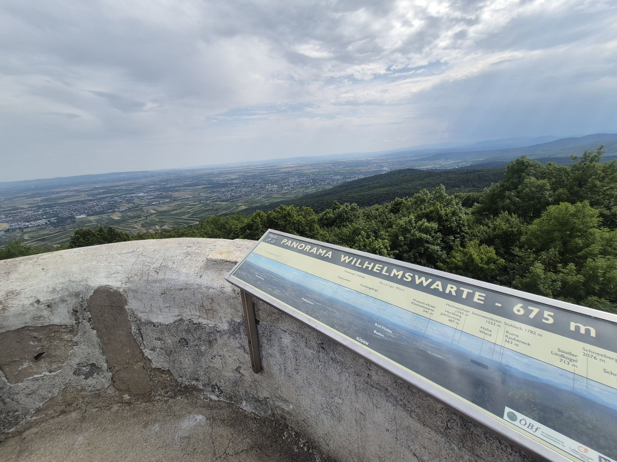
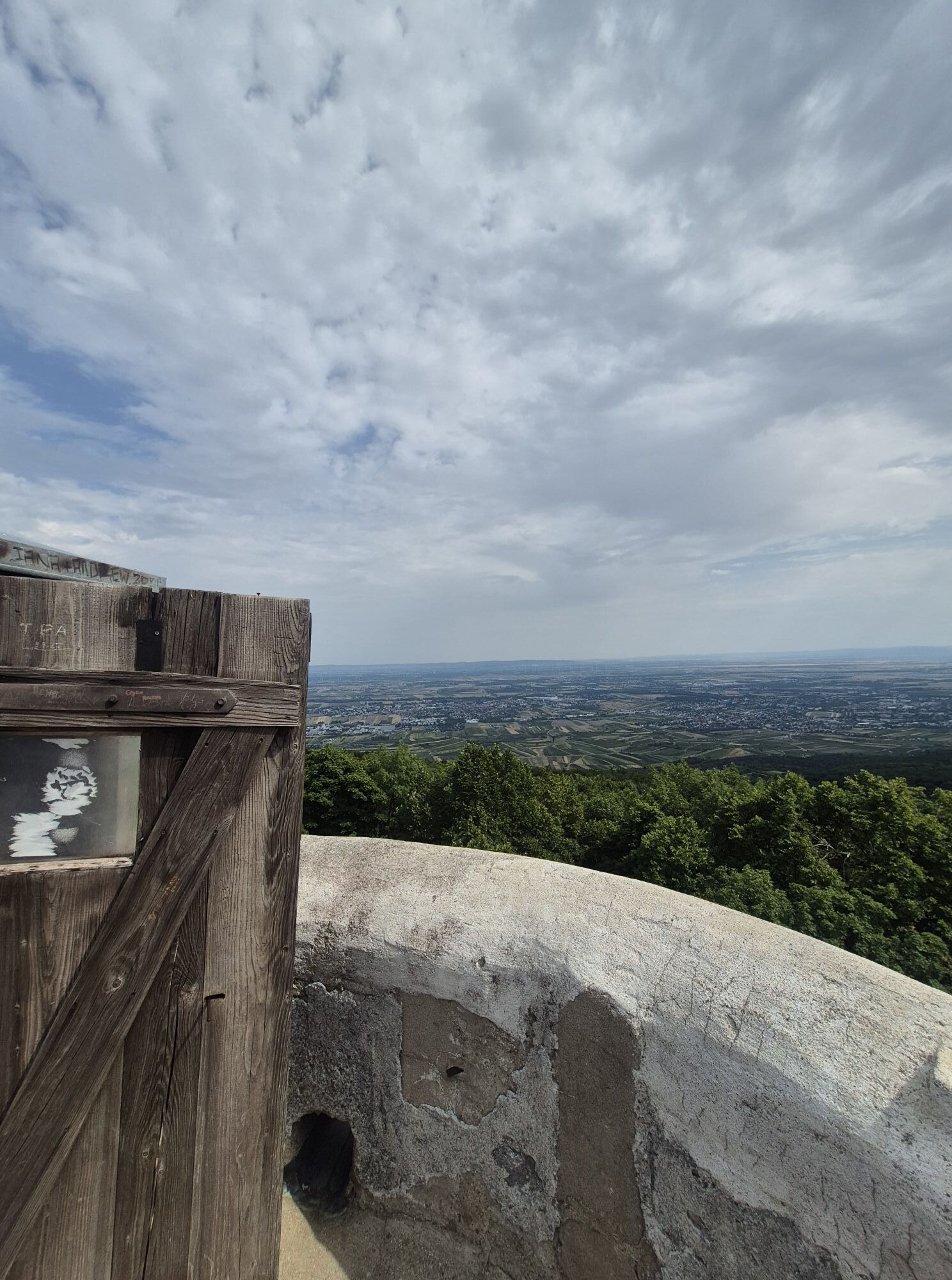
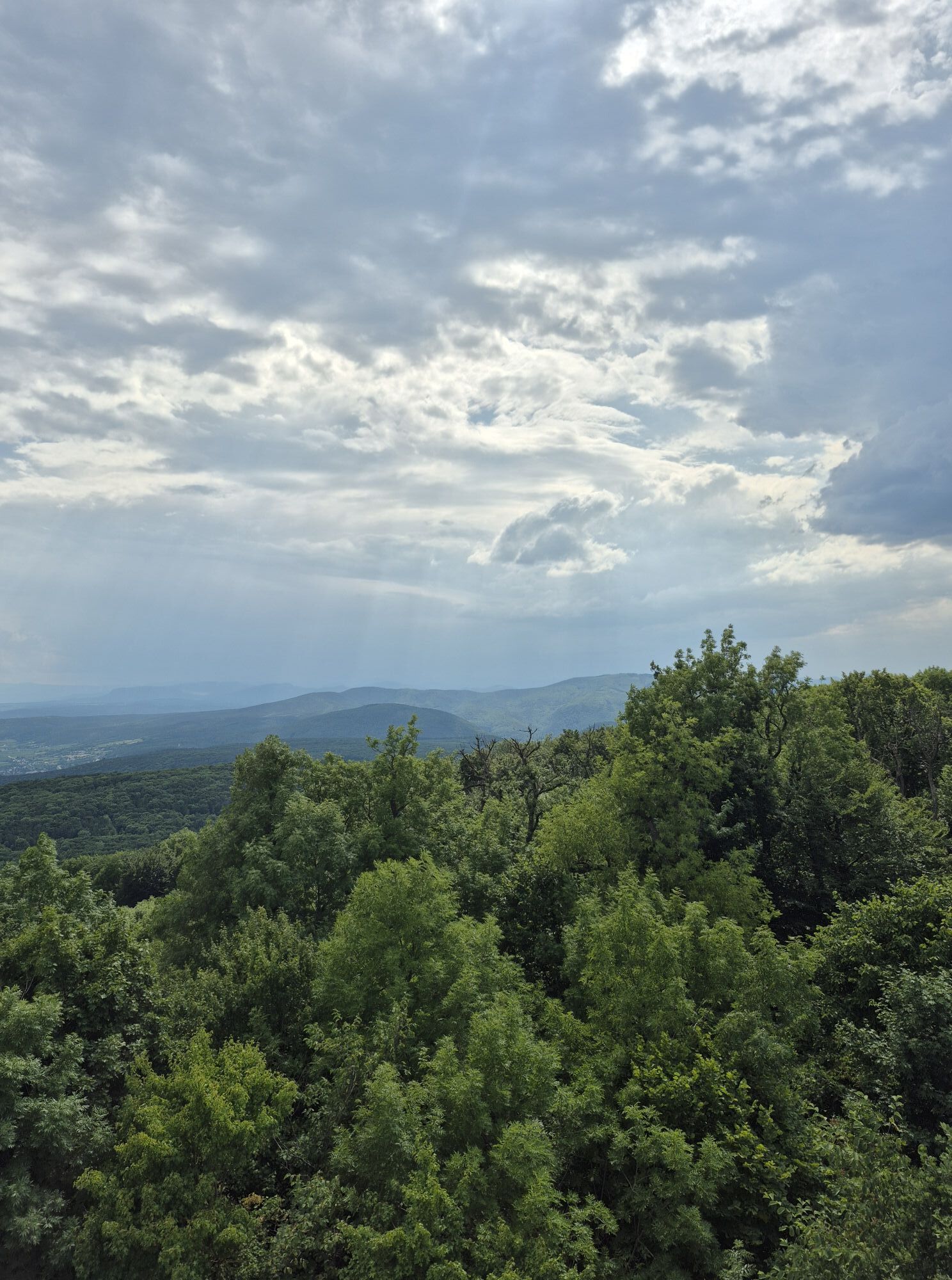
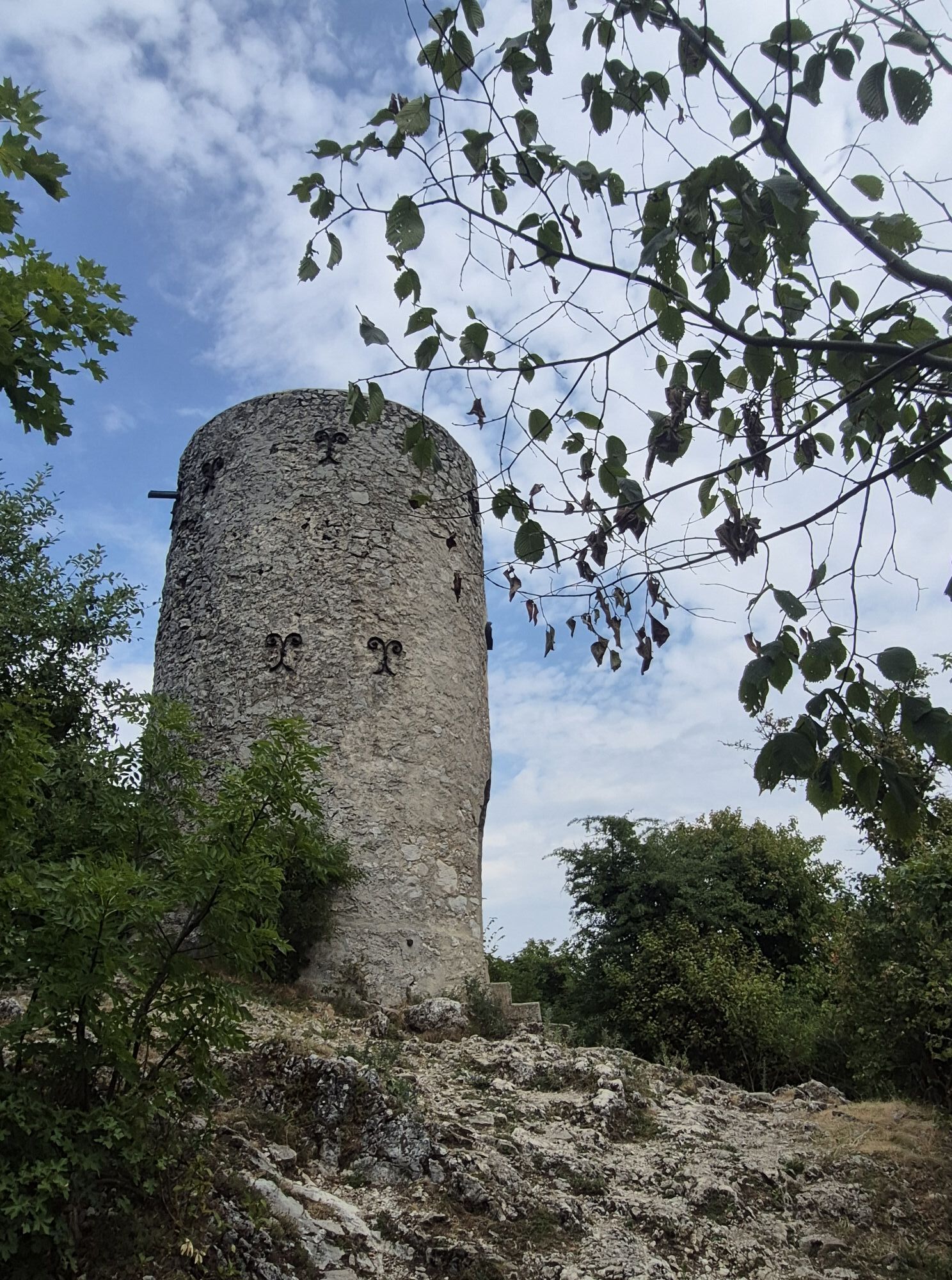
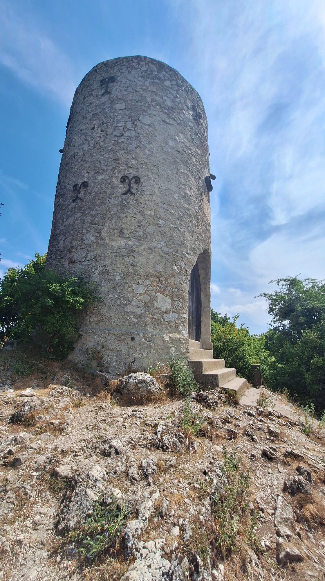
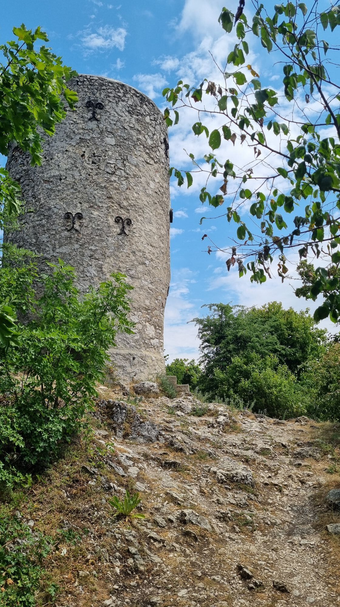
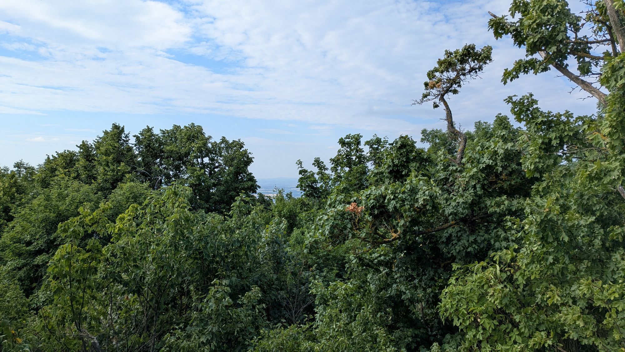
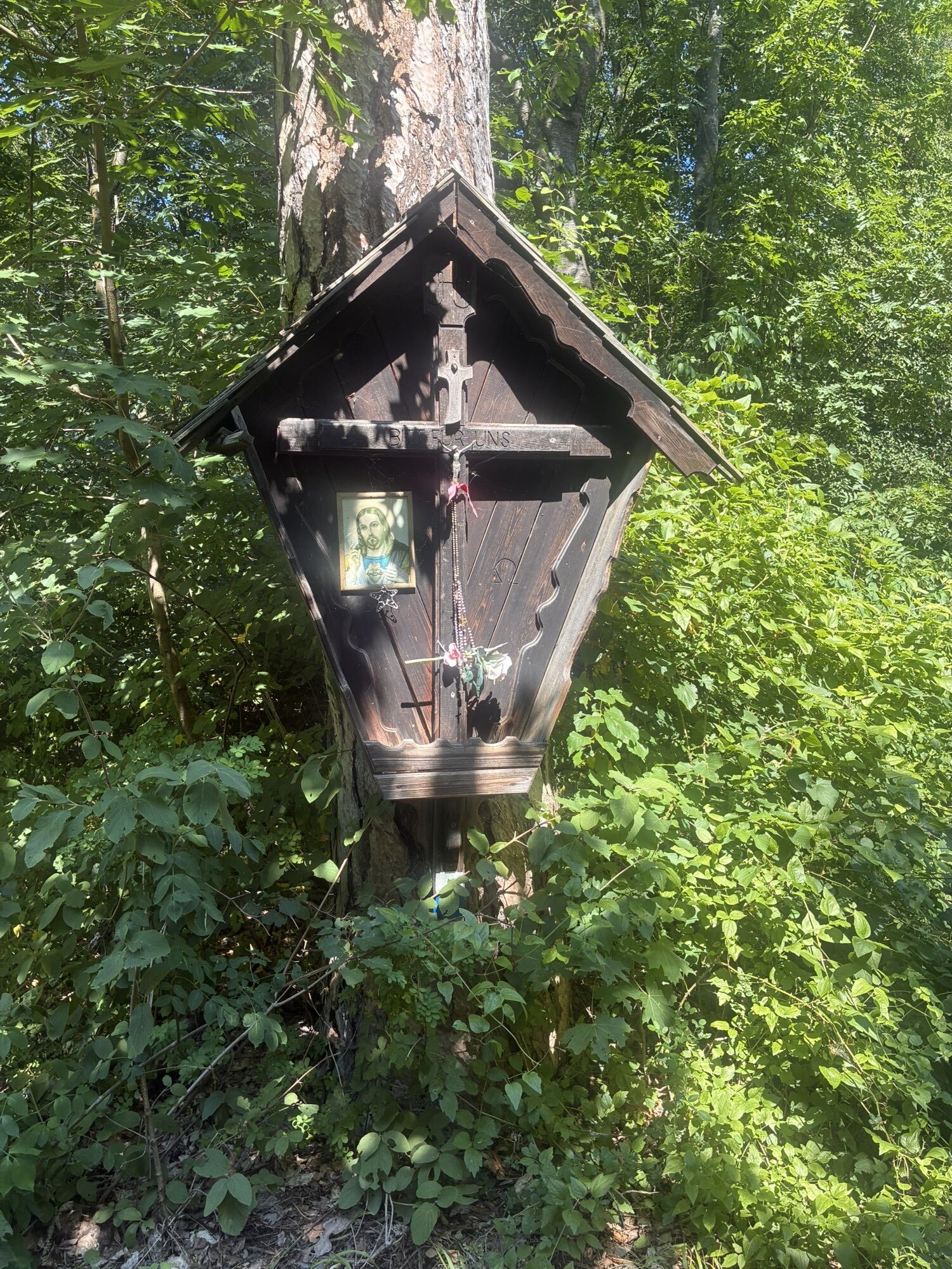
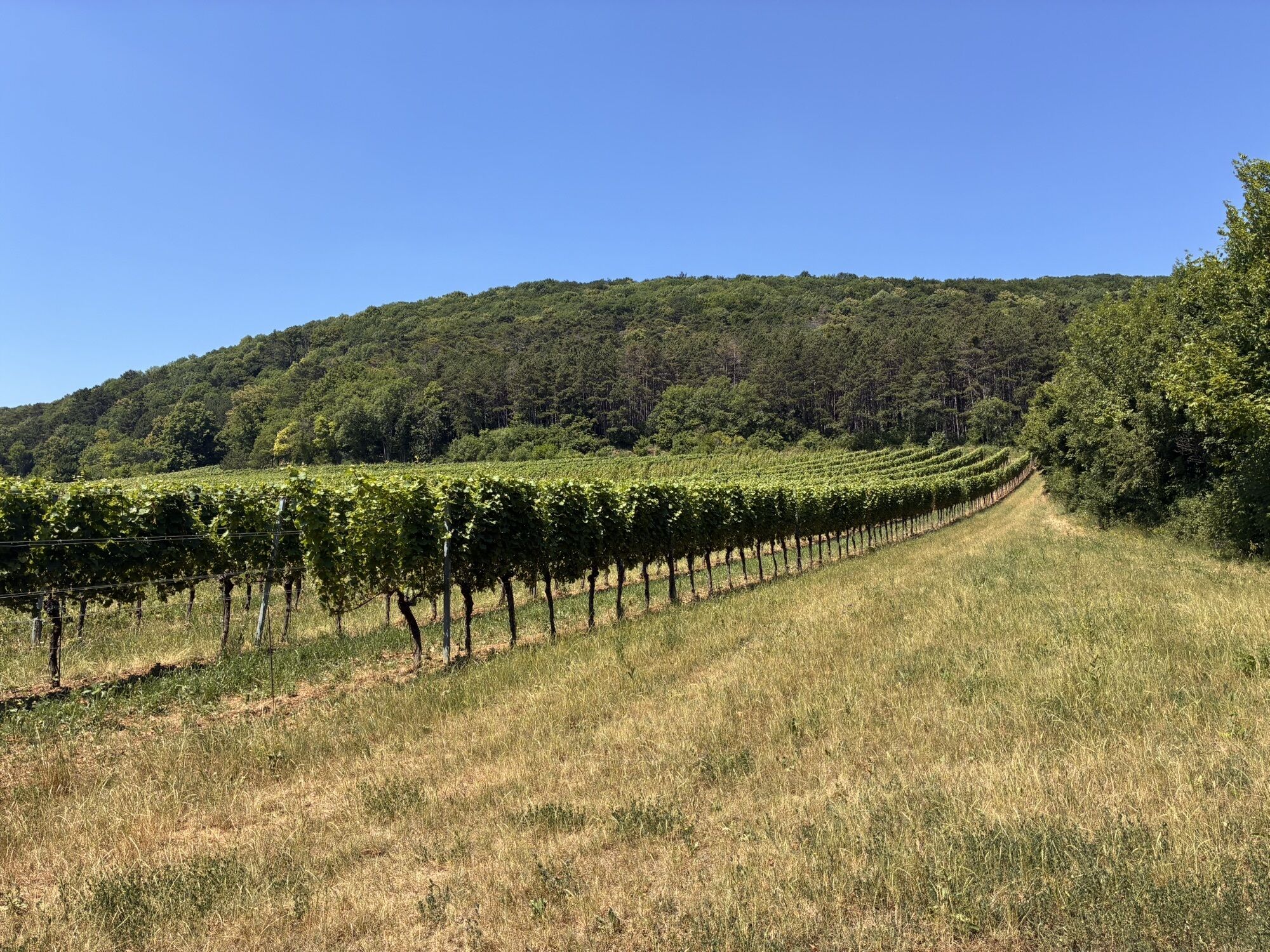
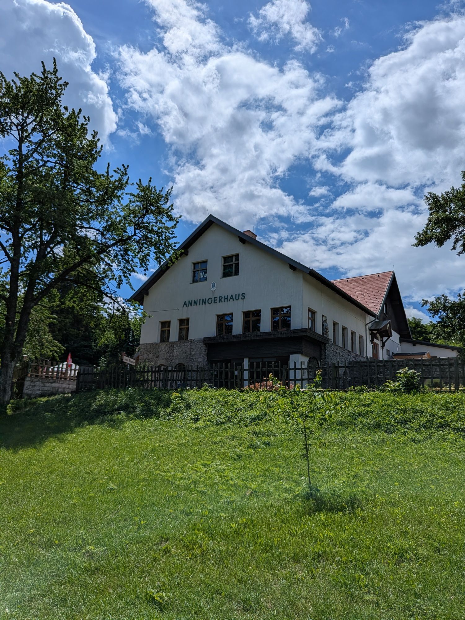
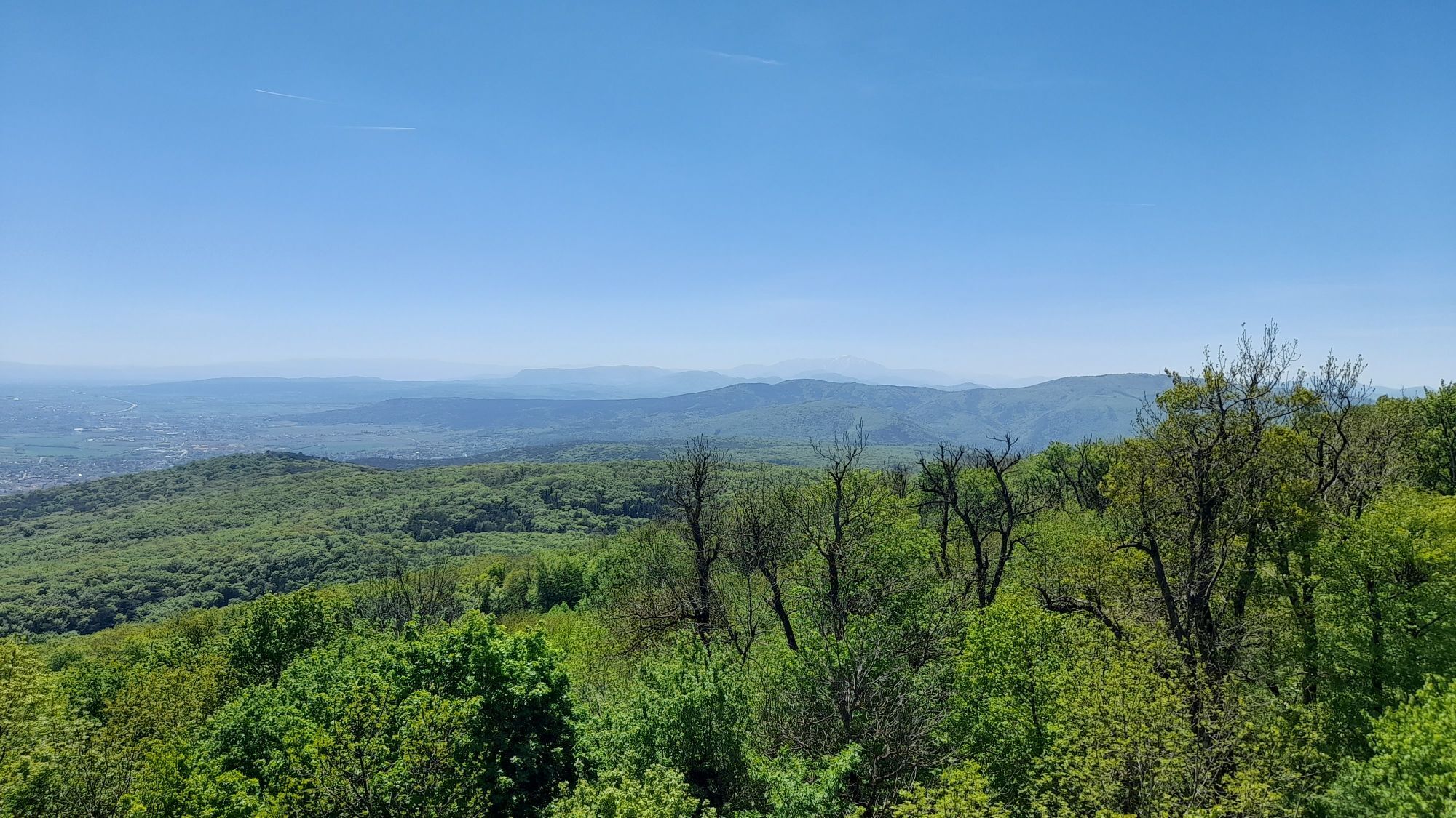
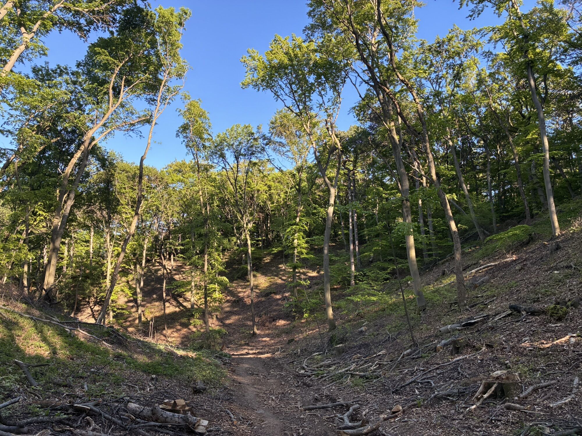
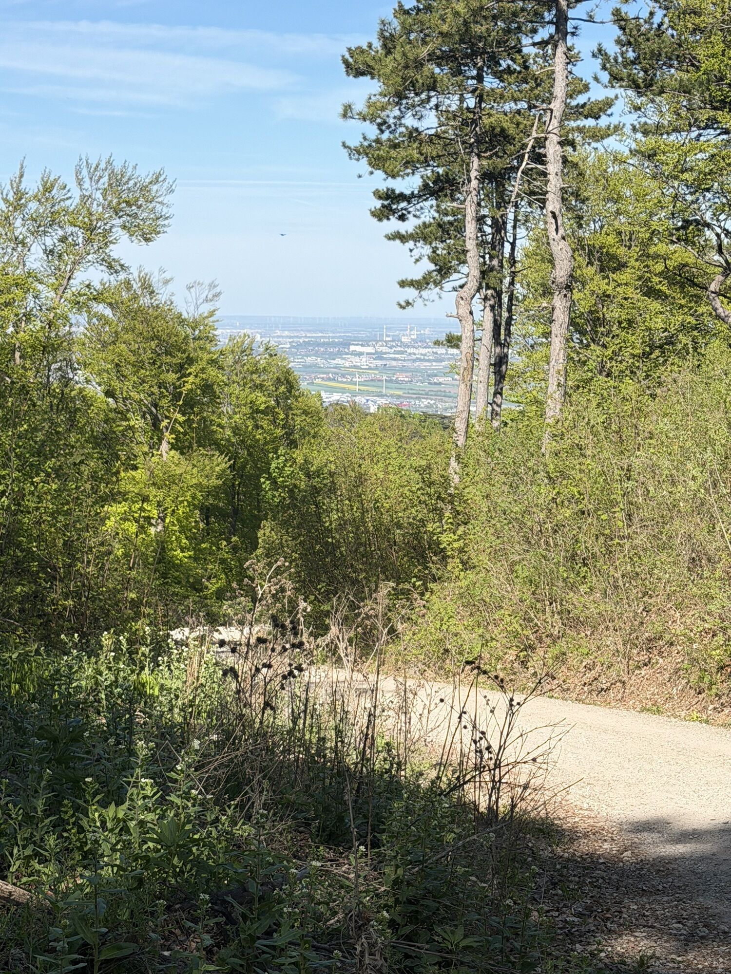
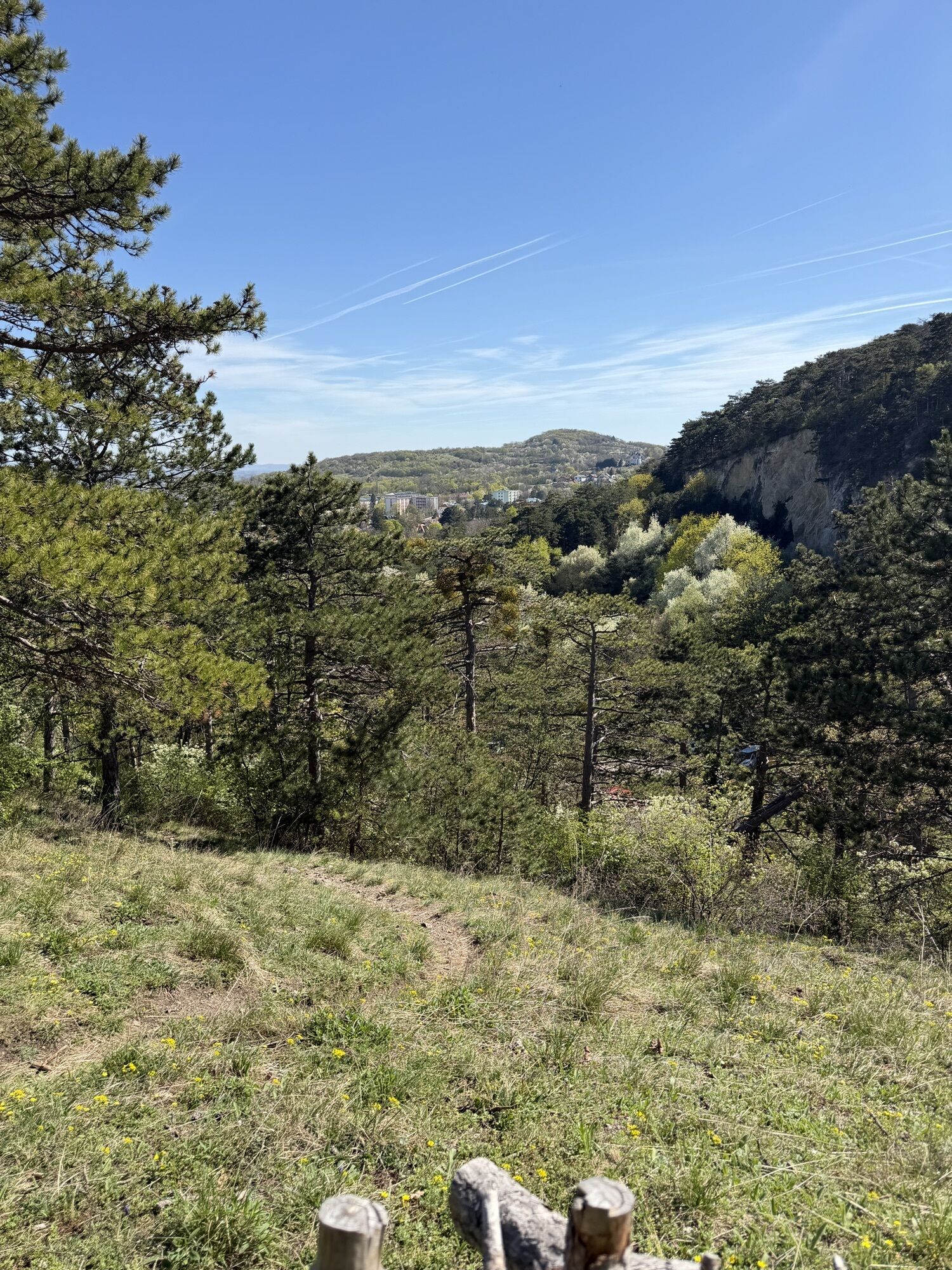
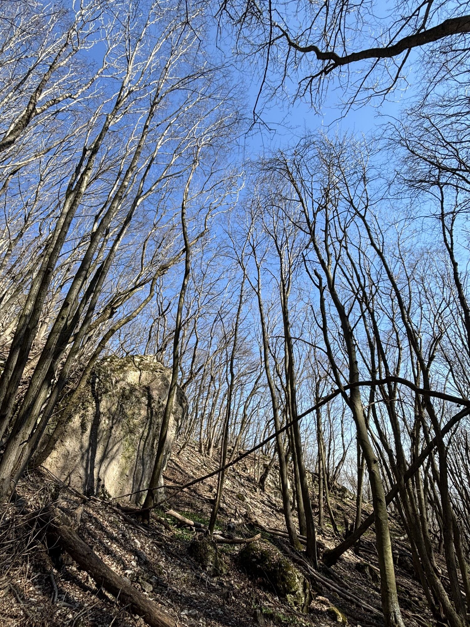
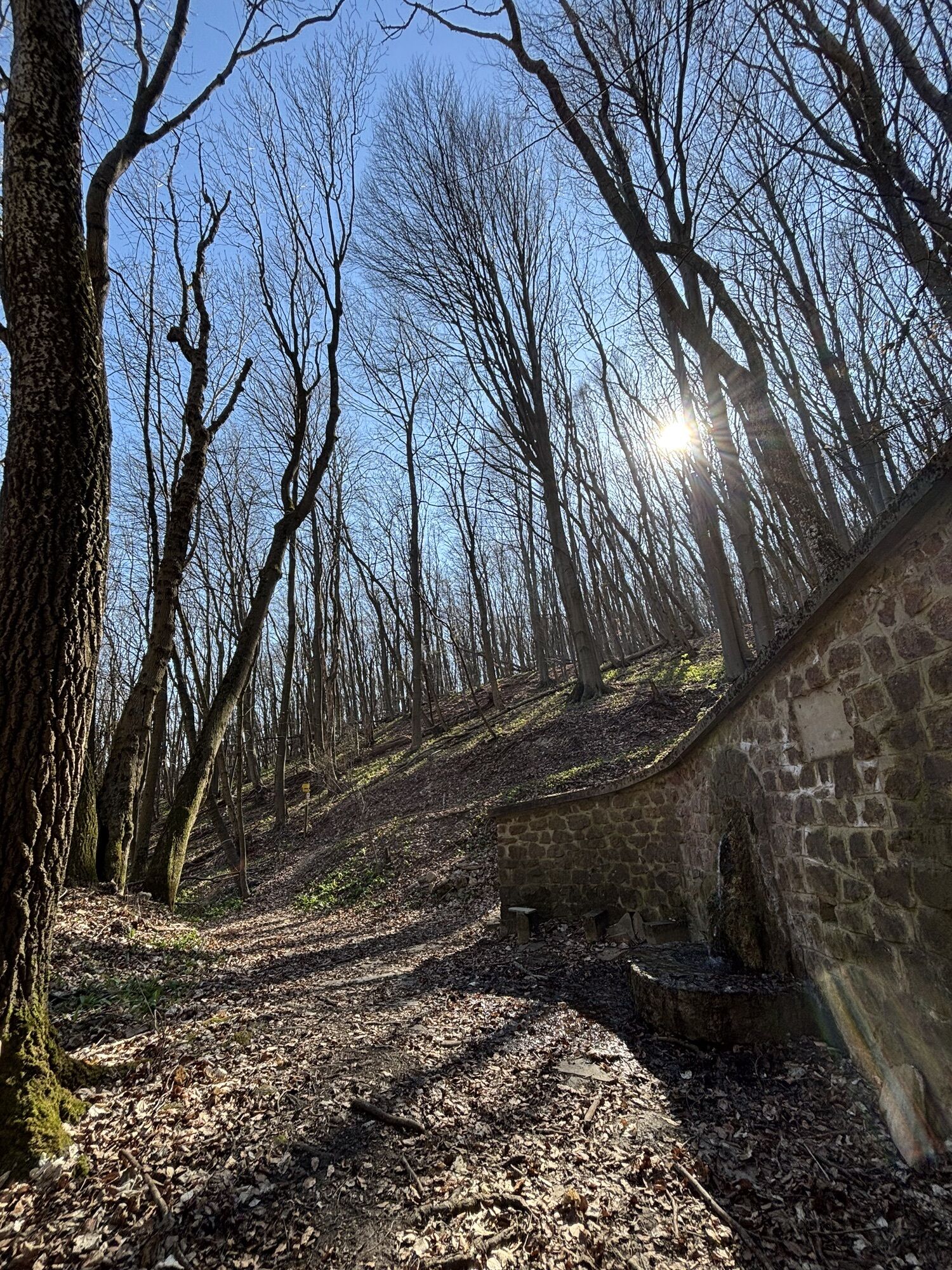
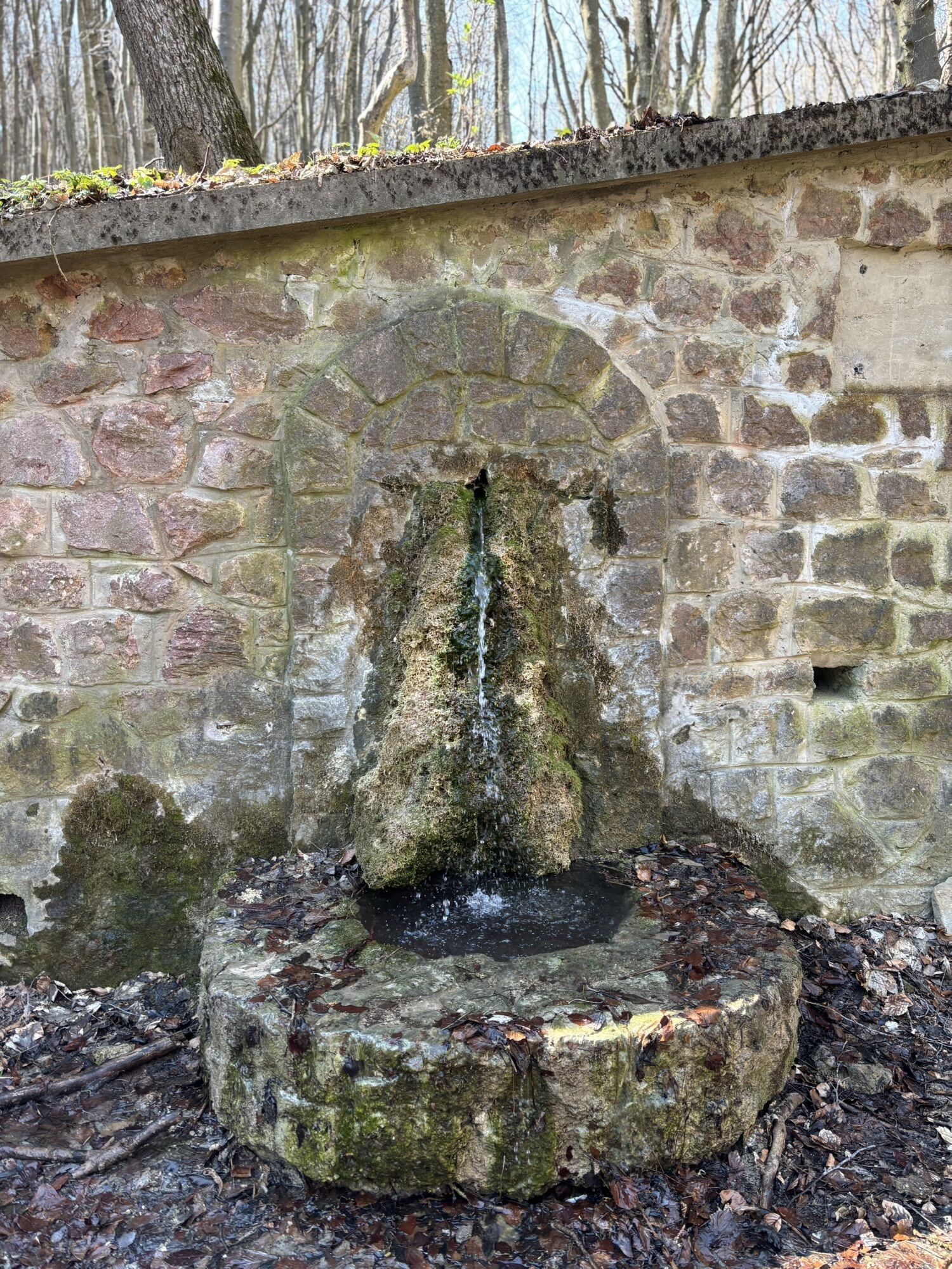
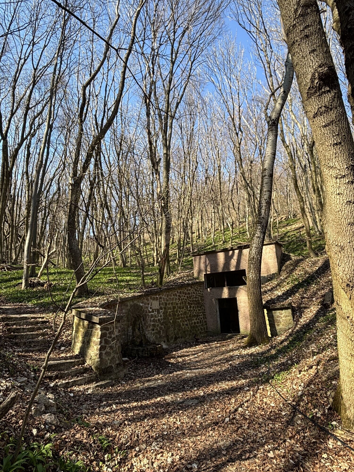
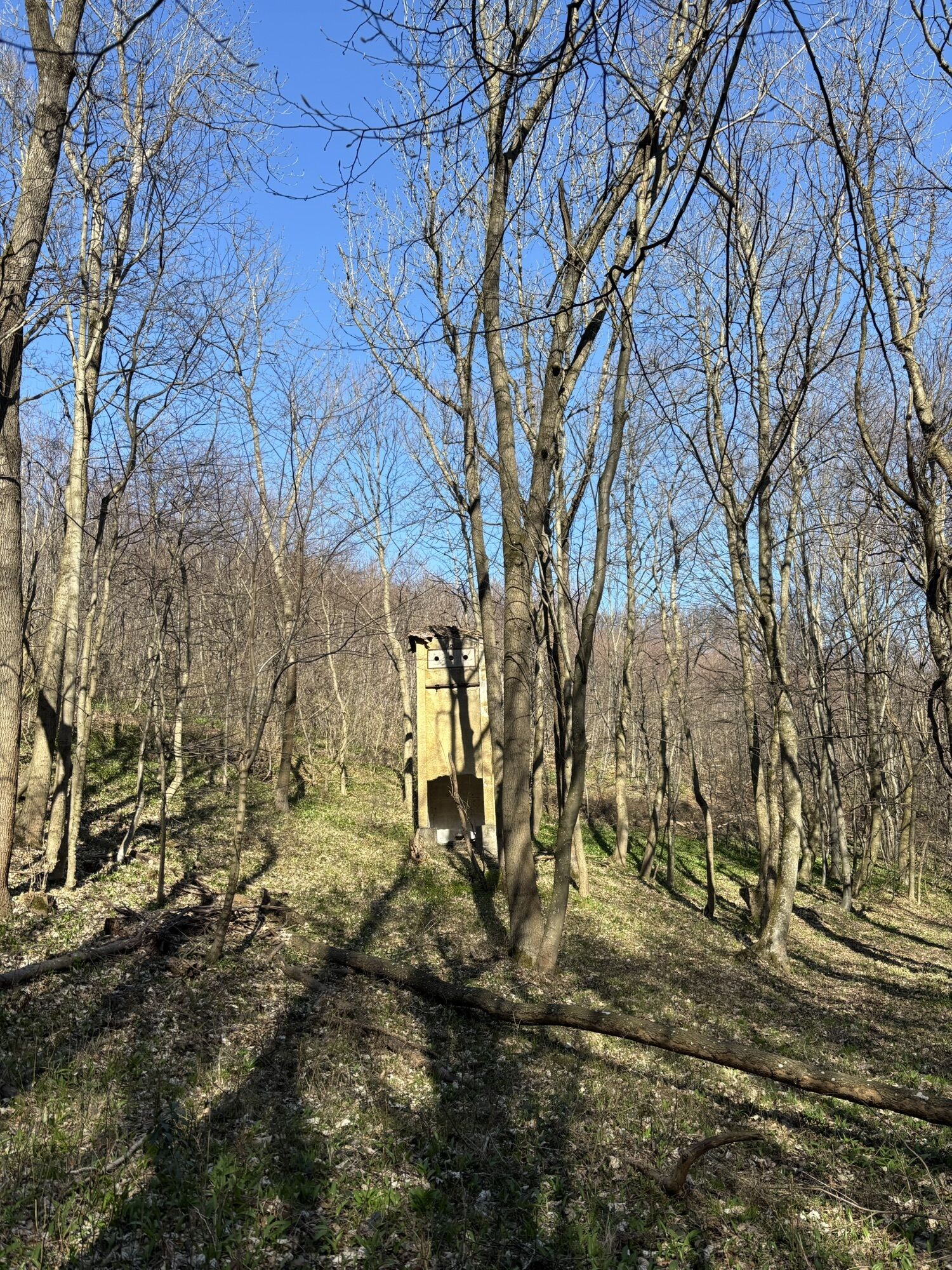
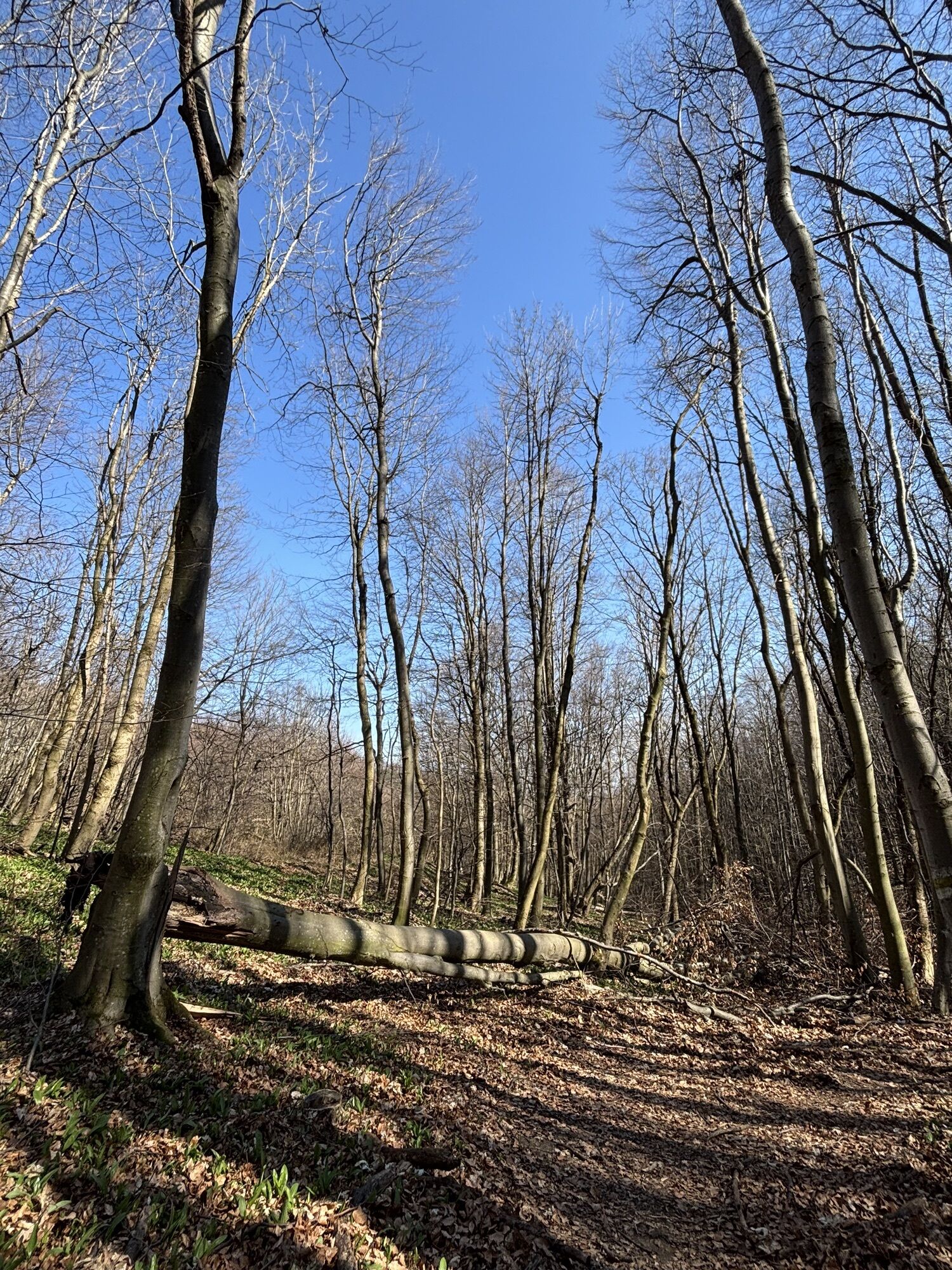
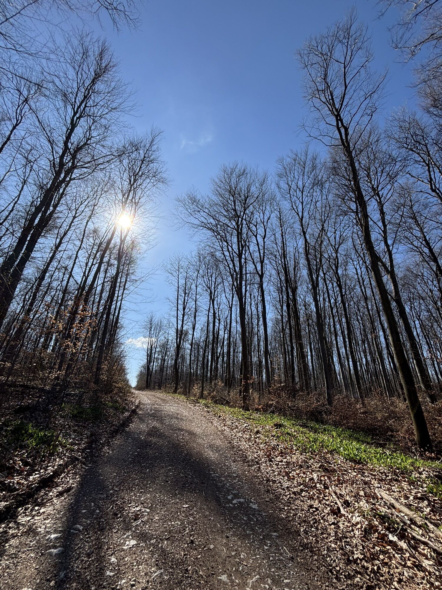
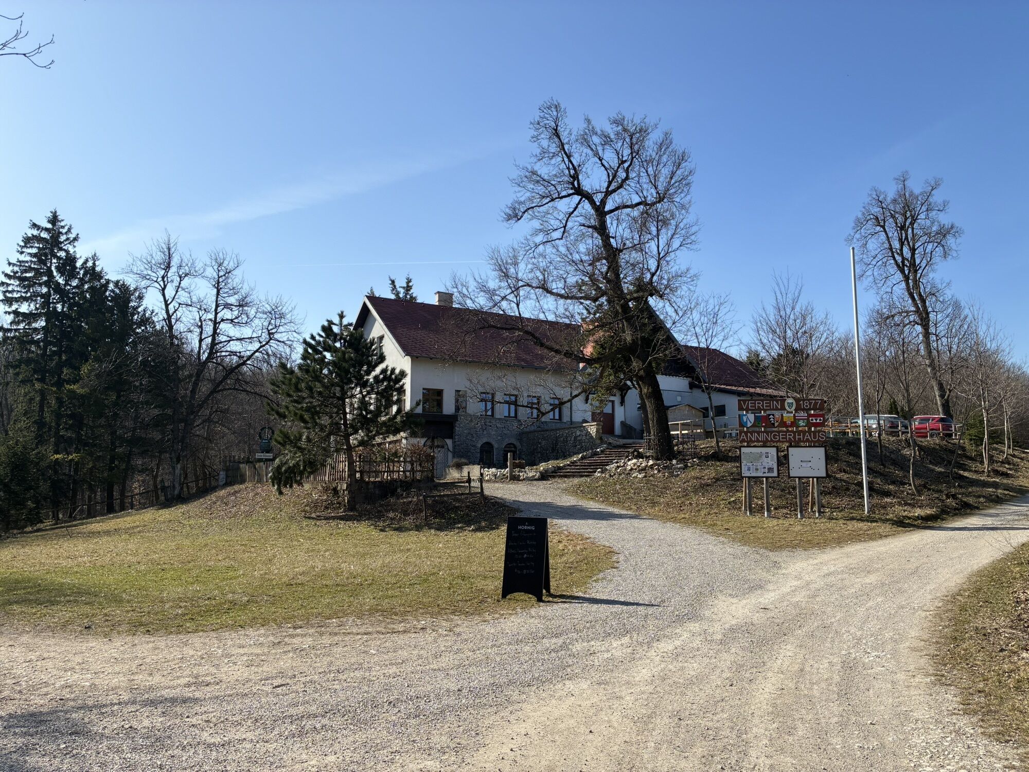

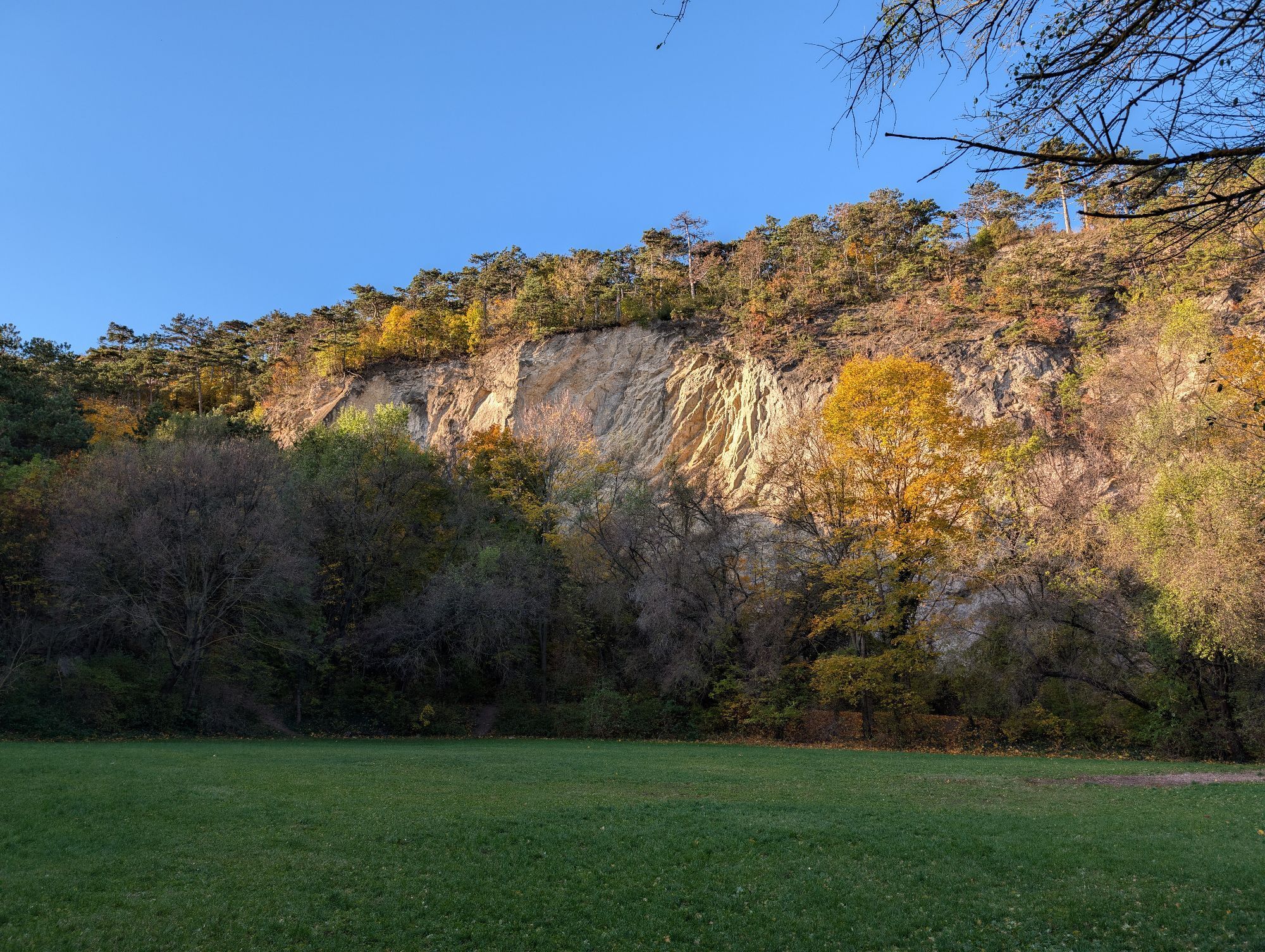
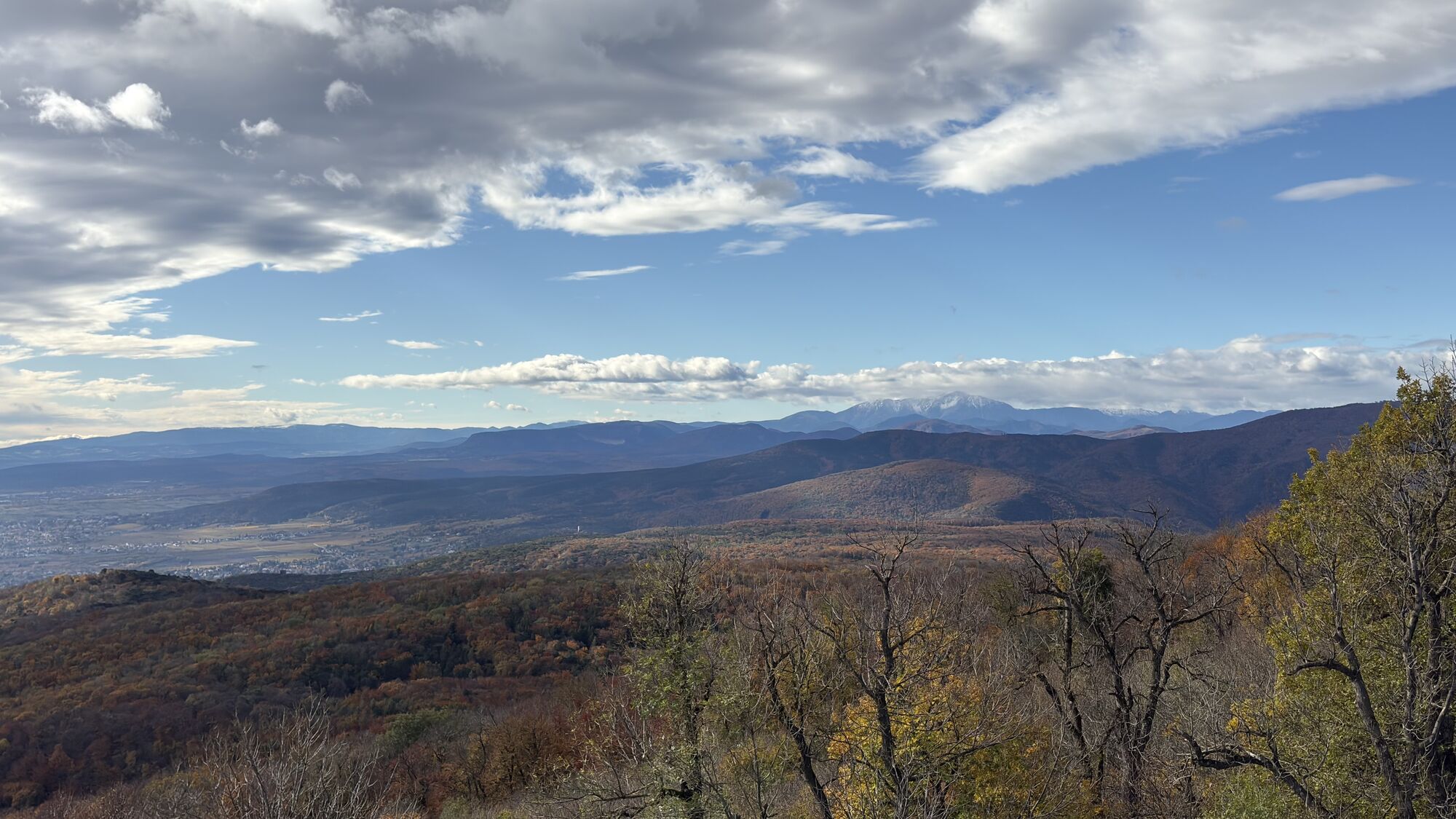
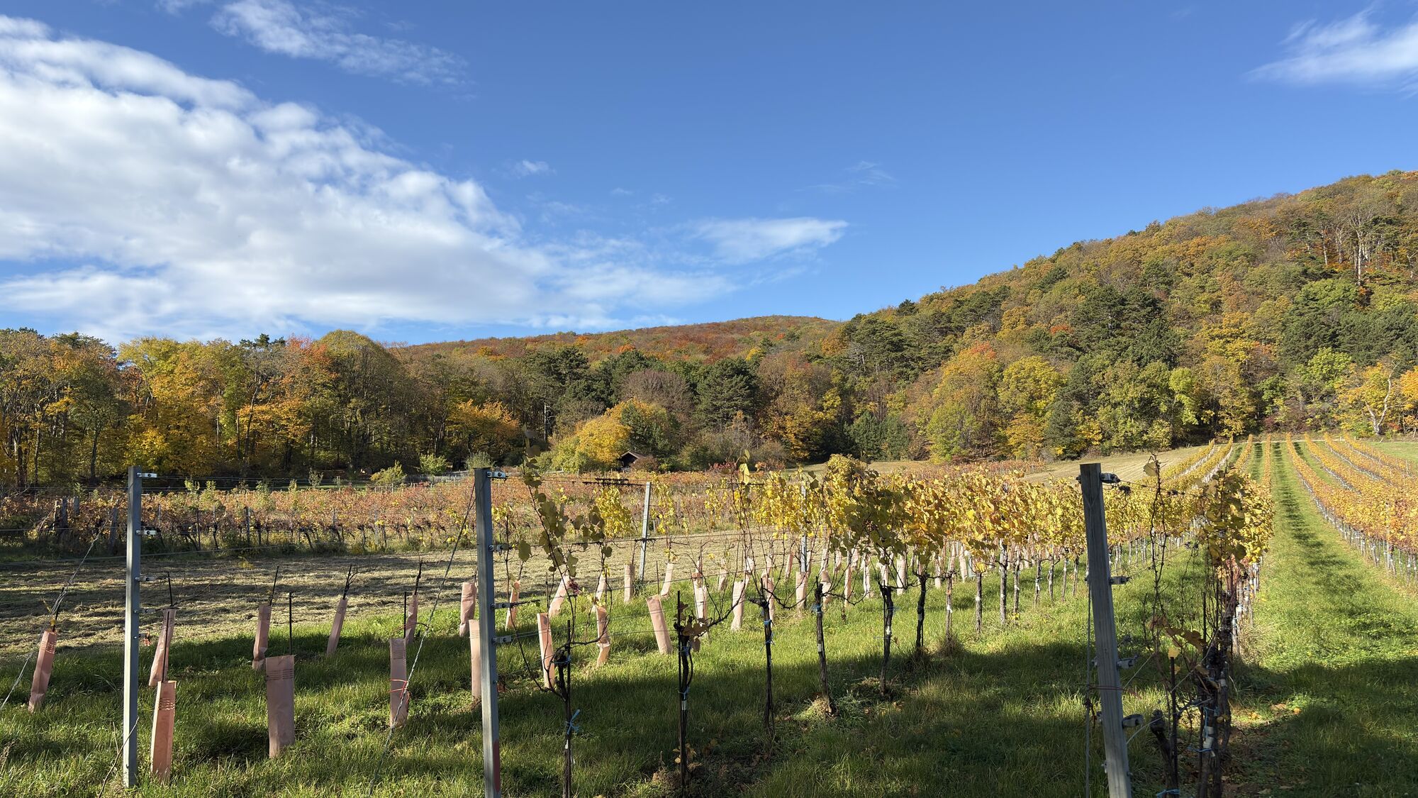
Together with the Eschenkogel (653 m), the Vierjochkogel (651 m) and the Buchkogel (639 m), the Anninger (675 m) - approx. 20 km south of Vienna - forms a massive limestone mountain range. The low mountain...
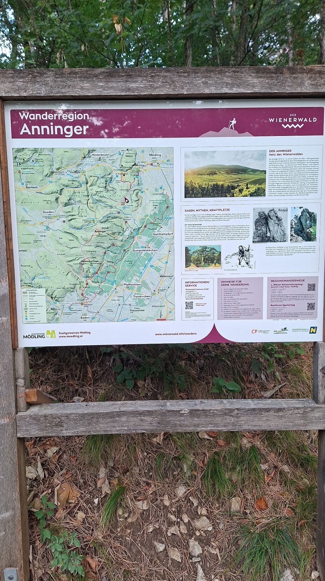
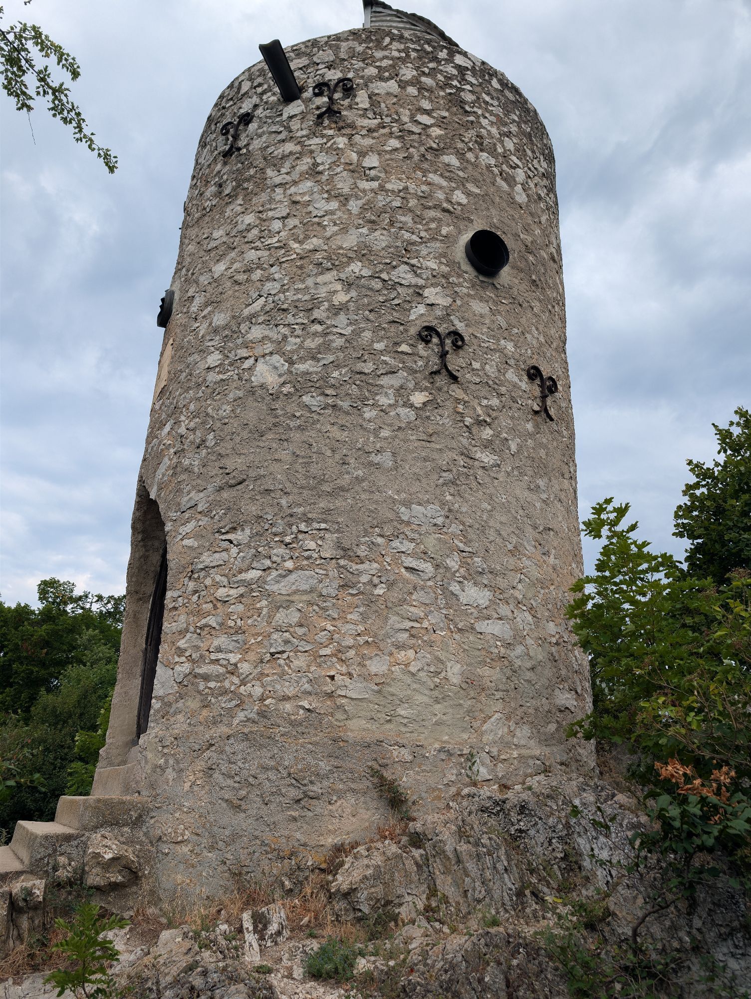
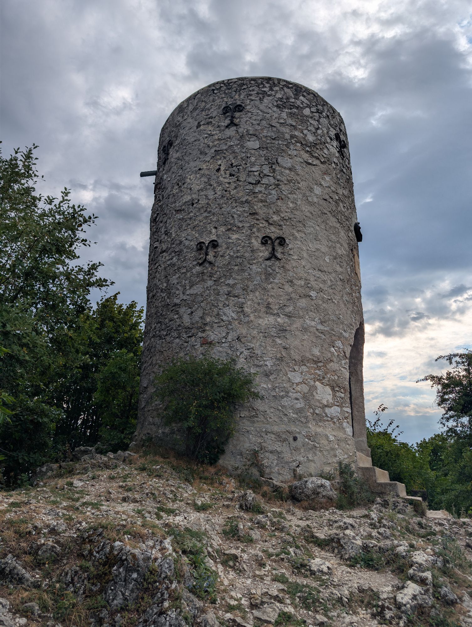
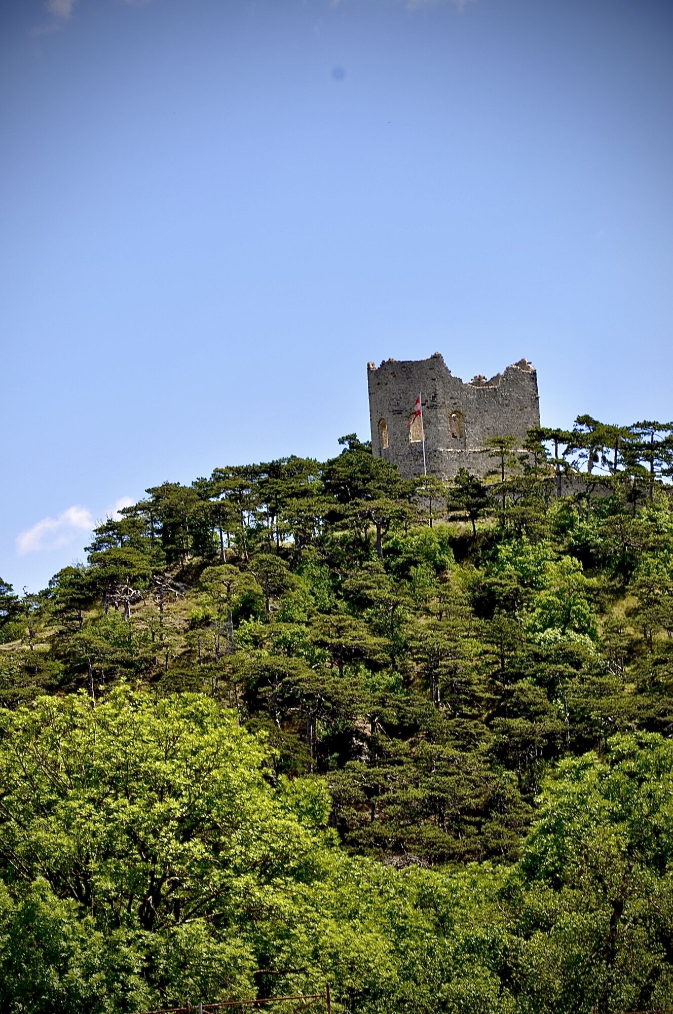
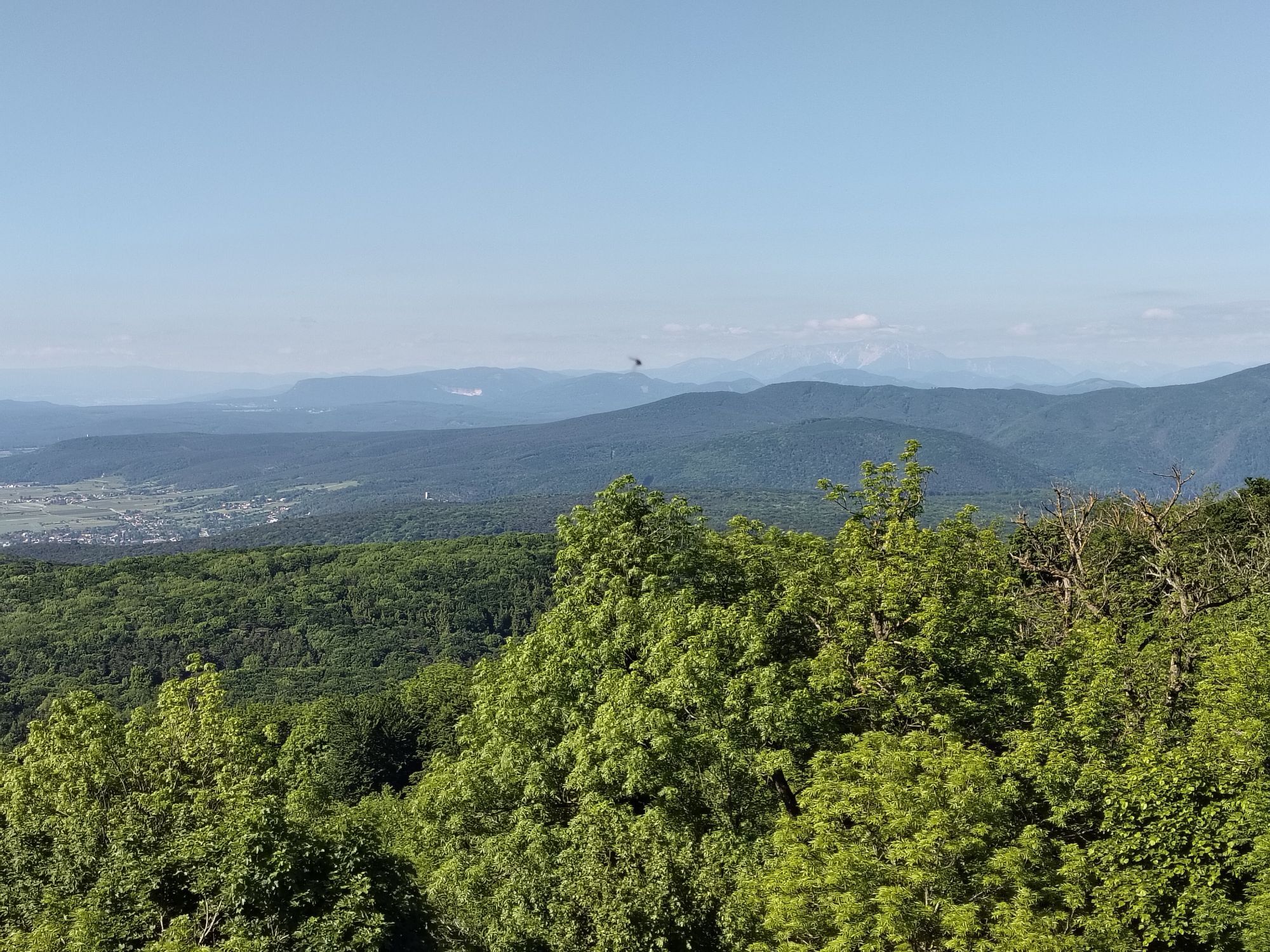
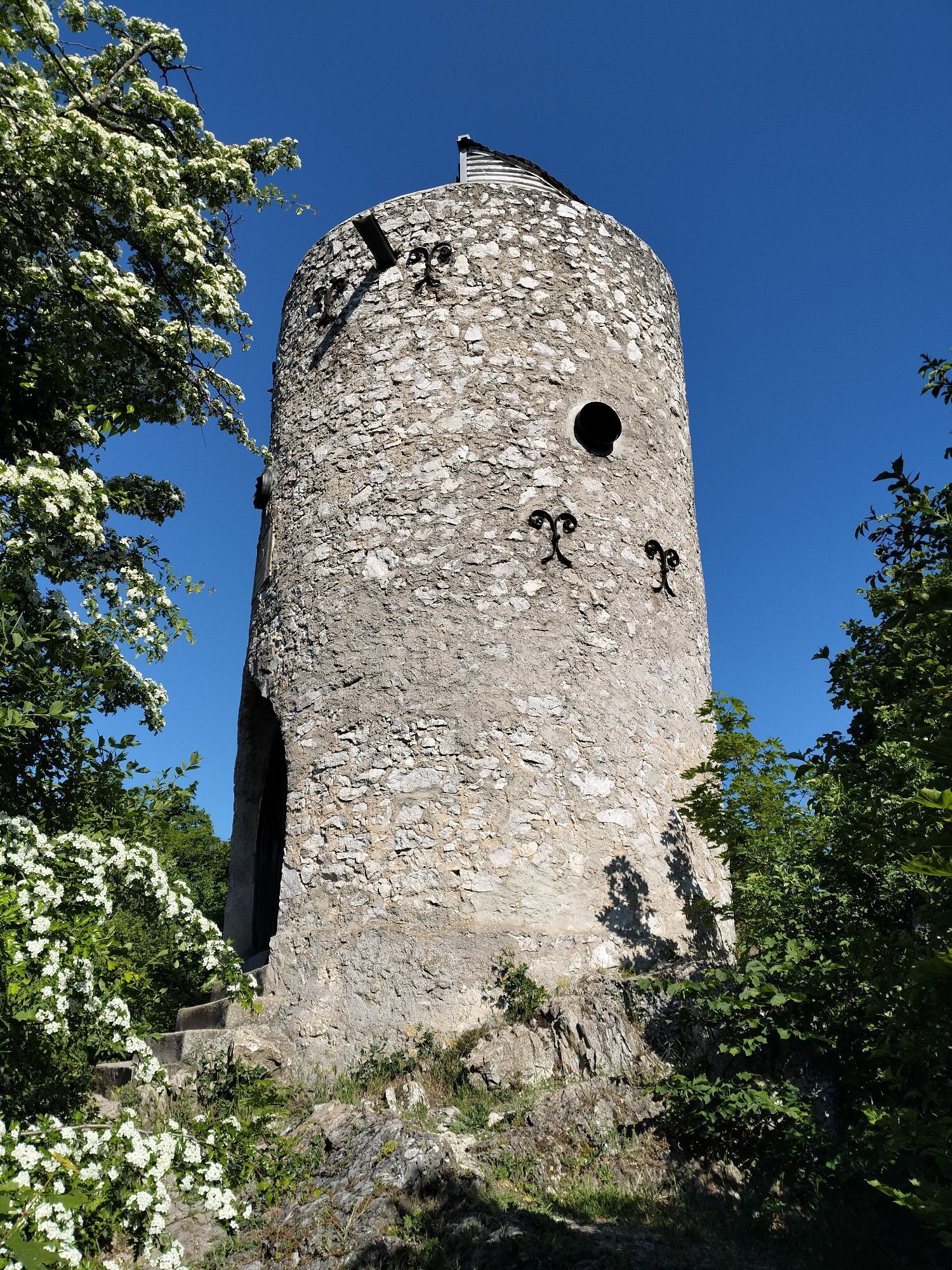
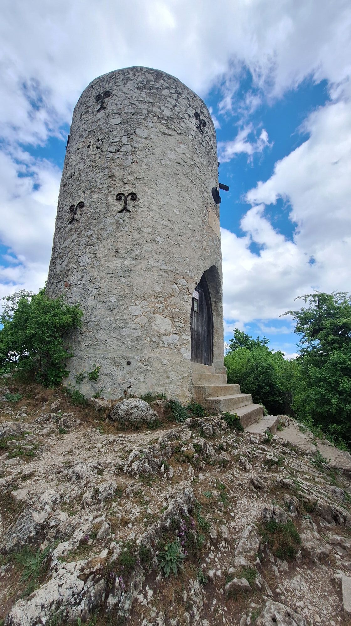
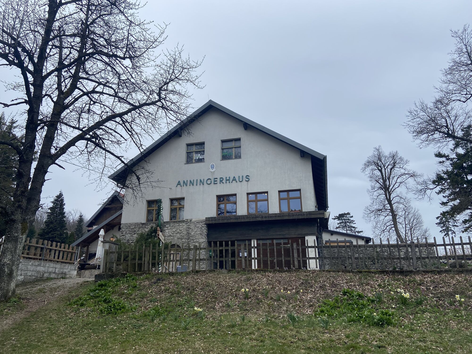
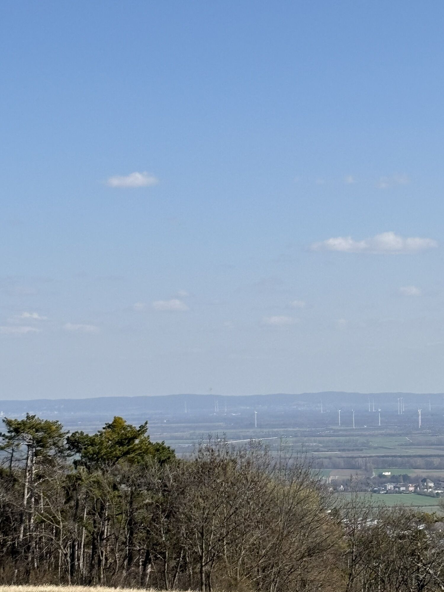
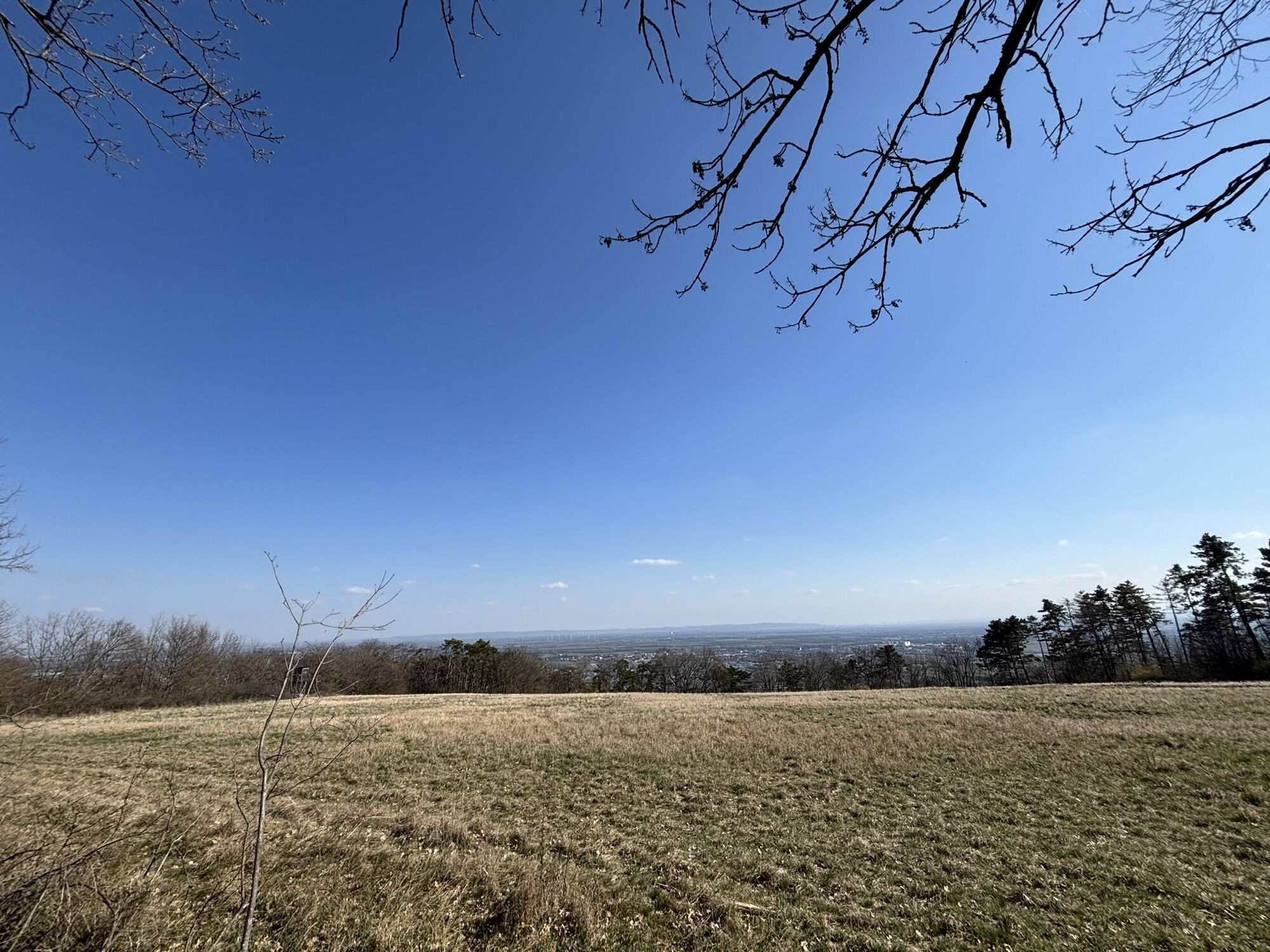
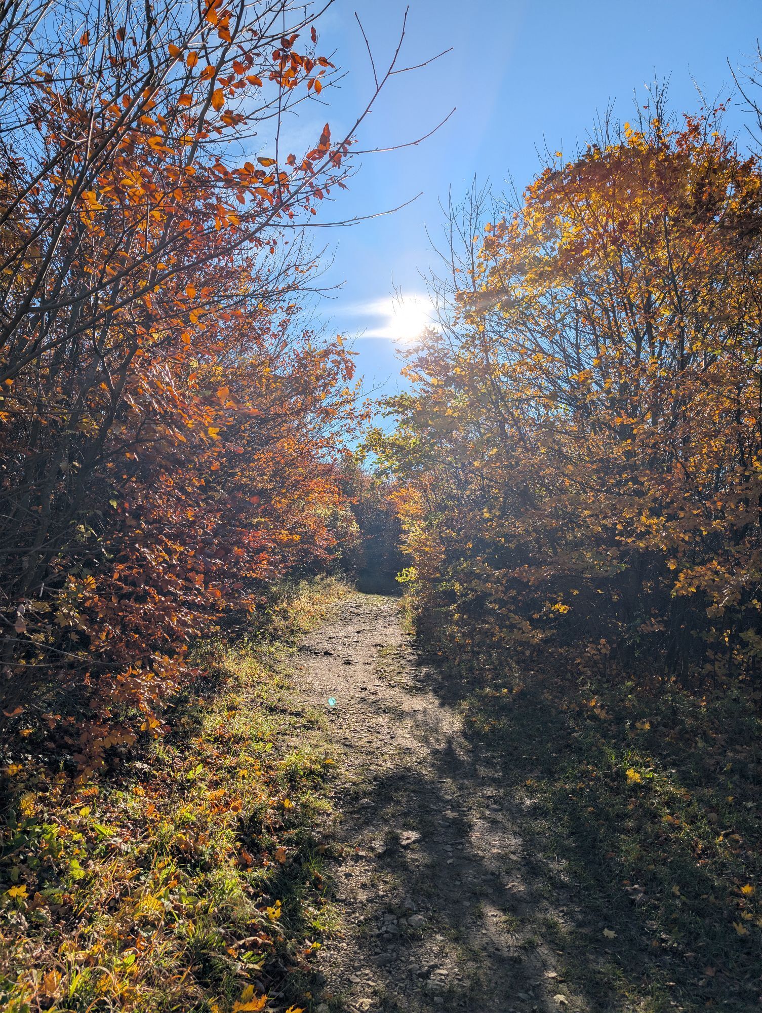
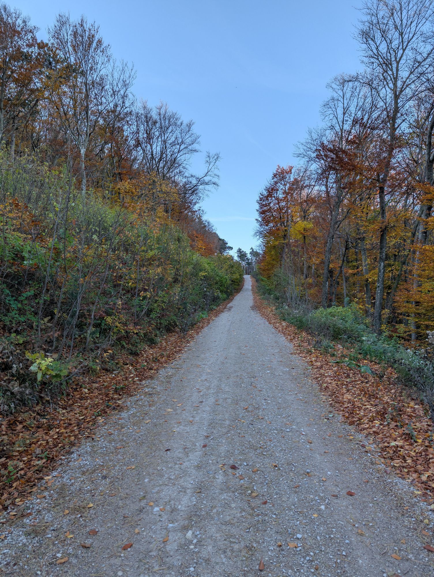
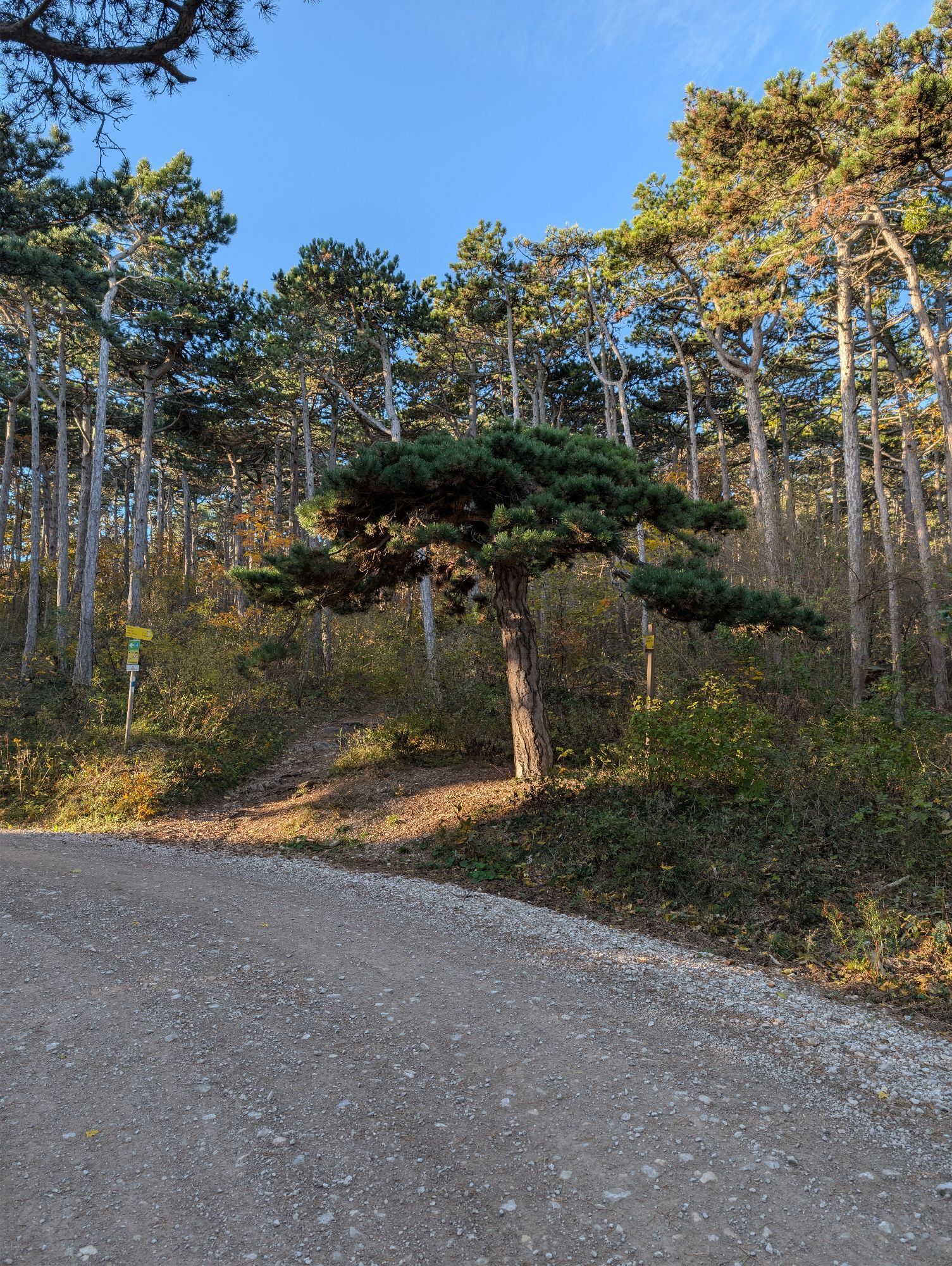
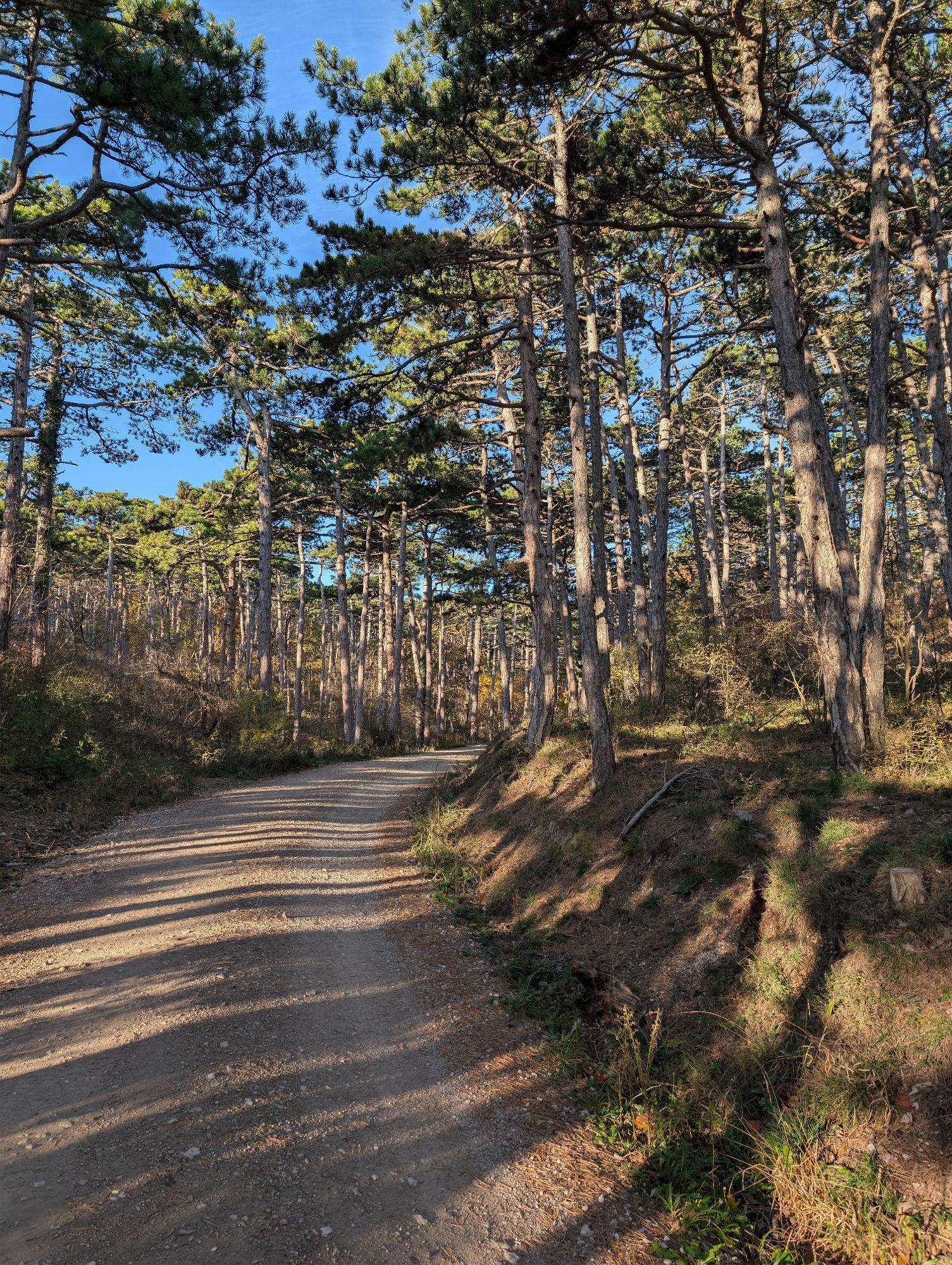
Together with the Eschenkogel (653 m), the Vierjochkogel (651 m) and the Buchkogel (639 m), the Anninger (675 m) - approx. 20 km south of Vienna - forms a massive limestone mountain range. The low mountain range on the eastern edge of the Vienna Alps - at the break-off to the Vienna Alps basin - can also be described as the heart of the Vienna Woods Biosphere Reserve, where nature and culture are in harmony with each other. The Anninger is almost entirely covered by extensive forests. In the altitude range between300 m and 500 m, there are broad-leaved oak-hornbeam forests, with woodruff-beech forests above, dominated by copper beech. In addition, the black pine (umbrella pine, Viennese Parapluibaum) is often found, such as over large areas in the Föhrenberge Nature Park, the southern part of which extends into the area of the Anninger. The municipalities of Hinterbrühl, Mödling, Gumpoldskirchen, Pfaffstätten, Baden and Gaaden, as well as Guntramsdorf and Traiskirchen lie at the foot of the Anninger. From each of these starting points, the mountain can be "climbed" along signposted paths with all its major and minor attractions, such as the Wilhelmswarte, the Jubiläumswarte, the Klesheimwarte or the Husarentempel. Hikers will also find cozy restaurants such as the Anninger Schutzhaus and the Krauste Linde.


ATTENTION: Due to severe weather, a section of this hiking trail (Siebenbrunnengraben) is closed!
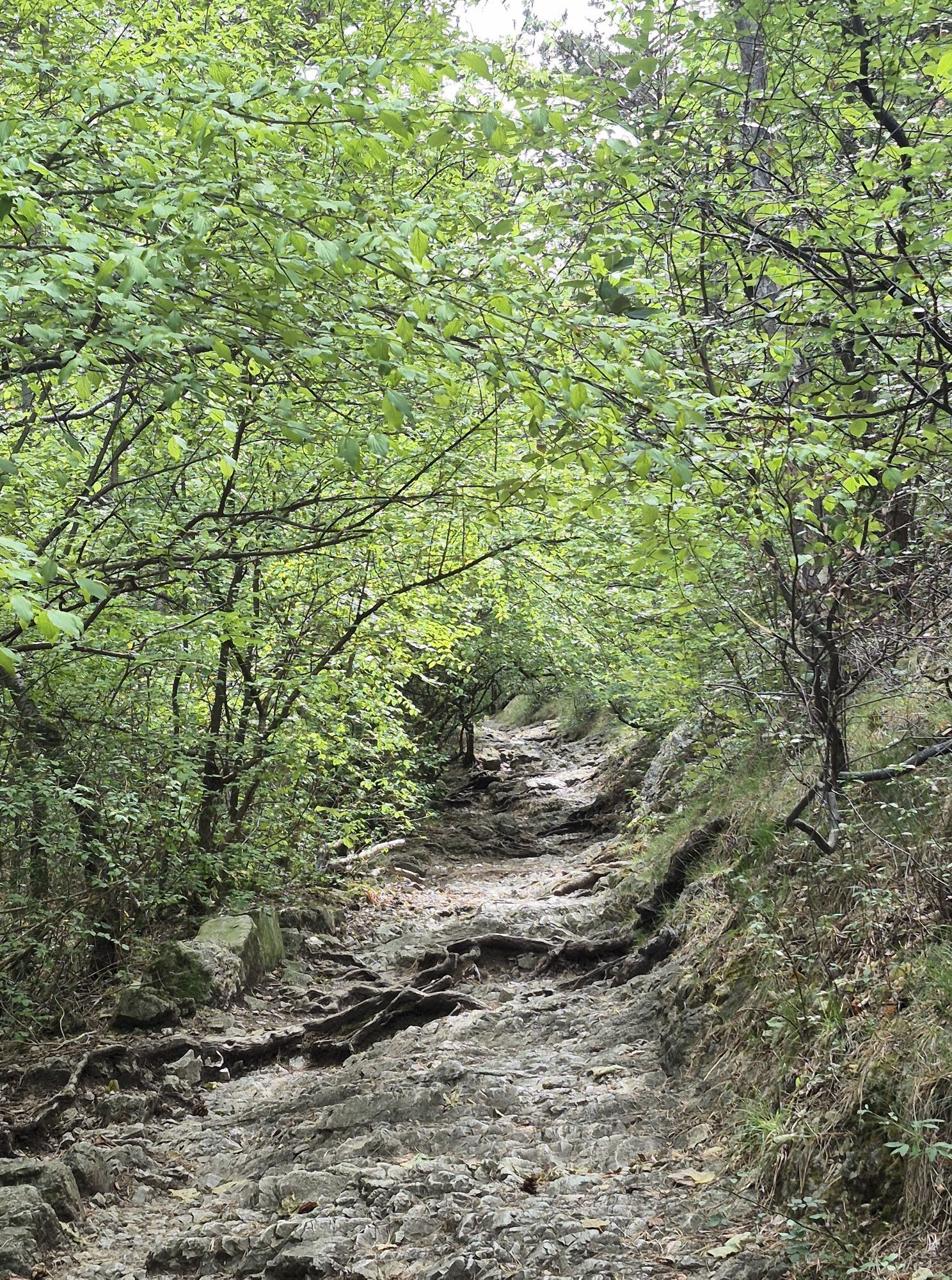
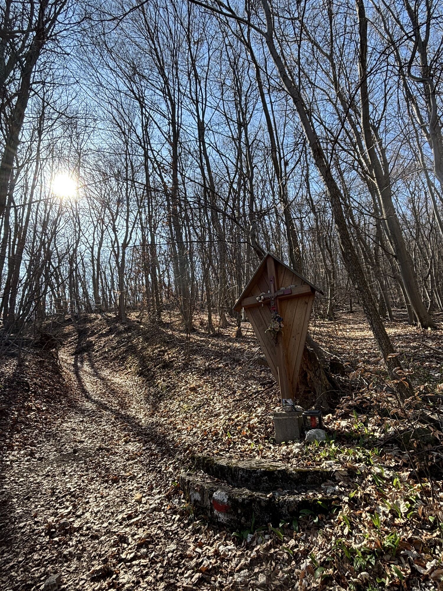
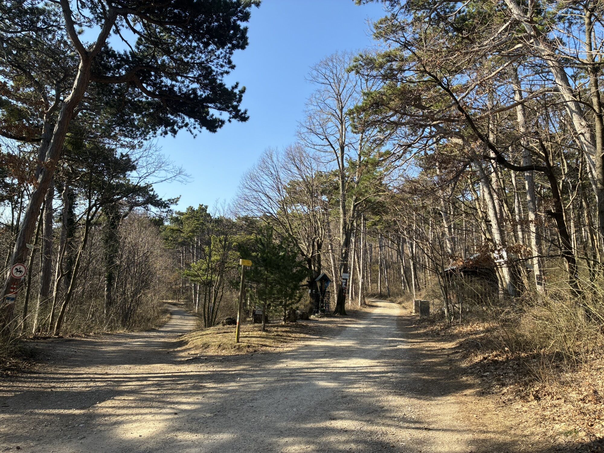
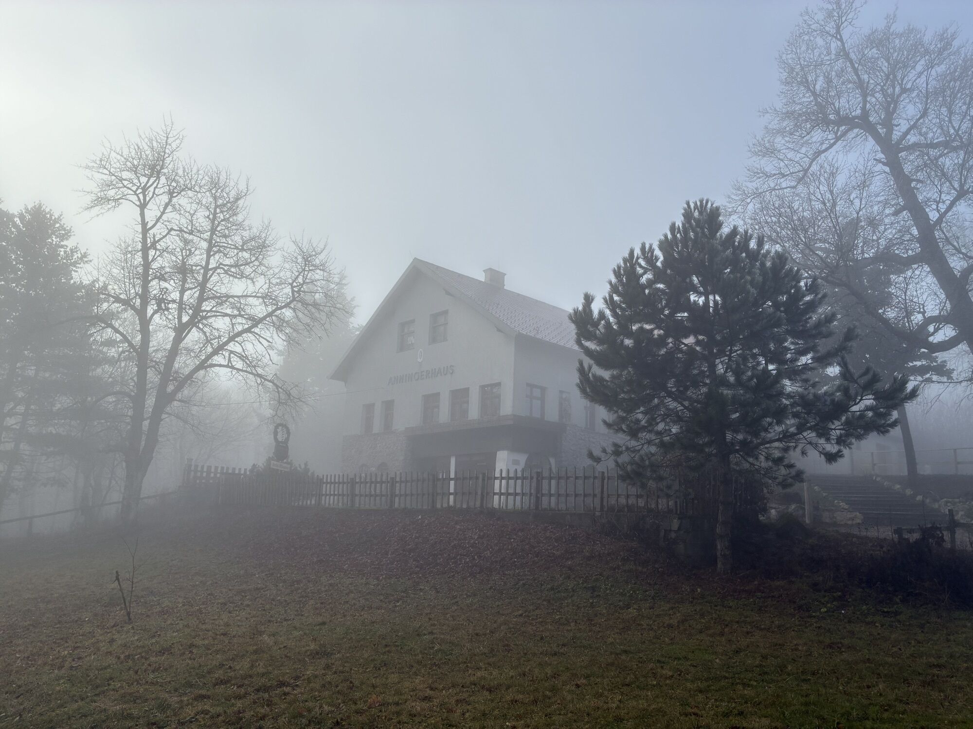
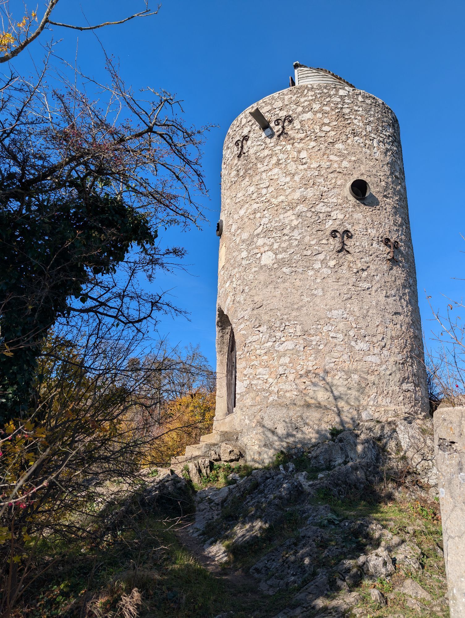
Start at the Bockerl parking lot in Mödling; parking available – Goldene Stiege (red, hiking trails 40, 42) – Breite Föhre (WW 42, red) – Krauste Linde (WW 42, red) – Anninger Shelter (Trail 42, red; after 500 m, turn left at the fork, then turn right after another 100 m) – Anninger – Wilhelmswarte – Richardshof via Siebenbrunnengraben (yellow) – Breite Föhre (blue) – Bockerl parking lot (red)
Person responsible for the content of this tour
Vienna Woods
Last update: 11/12/2025
Uzyskaj wgląd
Zawsze na żywo z ponad 9 500 kamer internetowych. bergfex Jako użytkownik Pro, możesz teraz zobaczyć odpowiednie kamery internetowe dla wielu wycieczek w aplikacji wycieczki od. Pozwala to na bezpośredni podgląd aktualnych warunków.
Aktywności na trasie


Popularne wycieczki w okolicy
-
4,5
Erlebnisweg Peilstein...auf den Spuren der Kletterer
średniTrasa tematyczna 6 km -
4,8
Kalenderberg und Burg Liechtenstein
światłoWędrówka 8,48 km -
4,7
AUGUSTINERHÜTTE Parkplatz bei B210 Hoher Lindkogel, Langes Tal 20221030
średniWędrówka 8,02 km -
4,6
Naturpark Sparbach
światłoWędrówka 7,08 km -
4,6
Angelos Touren: vom Helenental auf den Hohen Lindkogel
średniWędrówka 11,4 km -
4,6
Abend/Nachtwanderung Teufelstein
światłoWędrówka 7,15 km -
4,6
Stadtwanderweg 6 / Zugberg - Maurer Wald (lt. Beschilderung)
światłoWędrówka 13,3 km -
4,6
Landschaftspark Liechtenstein - Angelos Touren
światłoWędrówka 6,70 km -
4,5
Baden Helenental Krainerhütte Cholerakapelle RDW
średniWędrówka 10,1 km -
4,8
Wienerwald: Vom Richardshof zum Husarentempel - Angelos Touren
światłoWędrówka 10,6 km
Wędrówki i tropienie


Nie przegap ofert i inspiracji na następne wakacje
Twój adres e-mail została dodana do listy mailingowej.





