


Circular hike to the Husarentempel
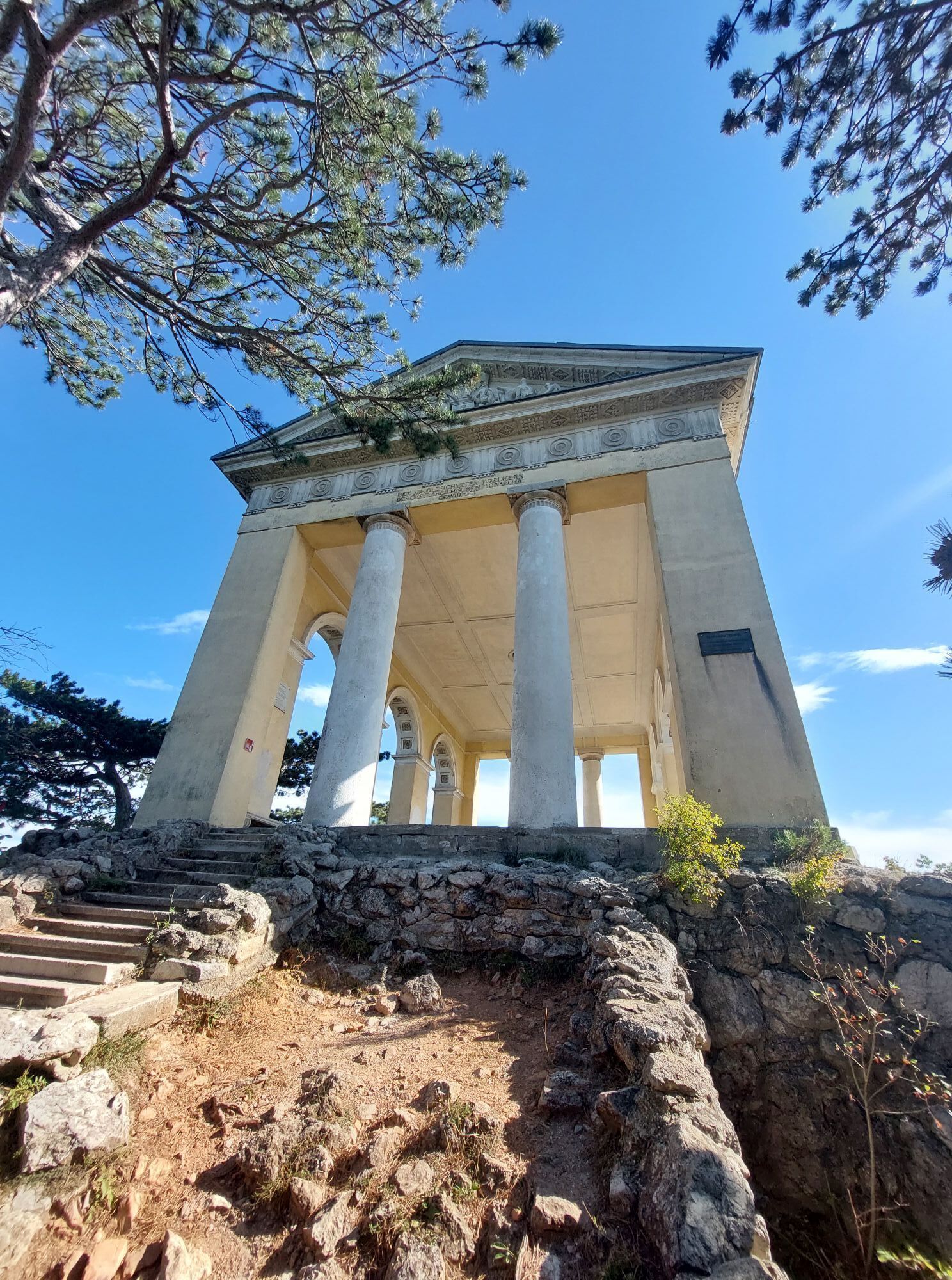
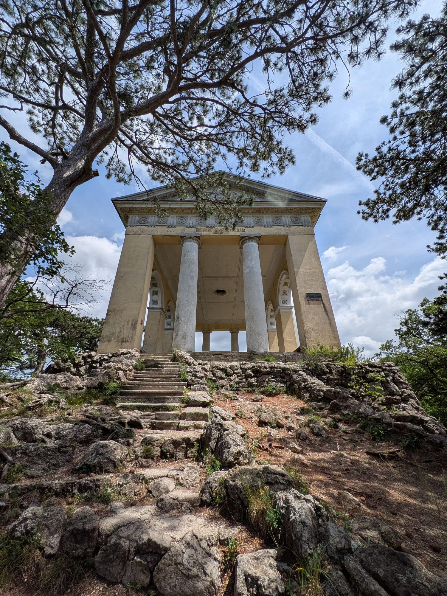
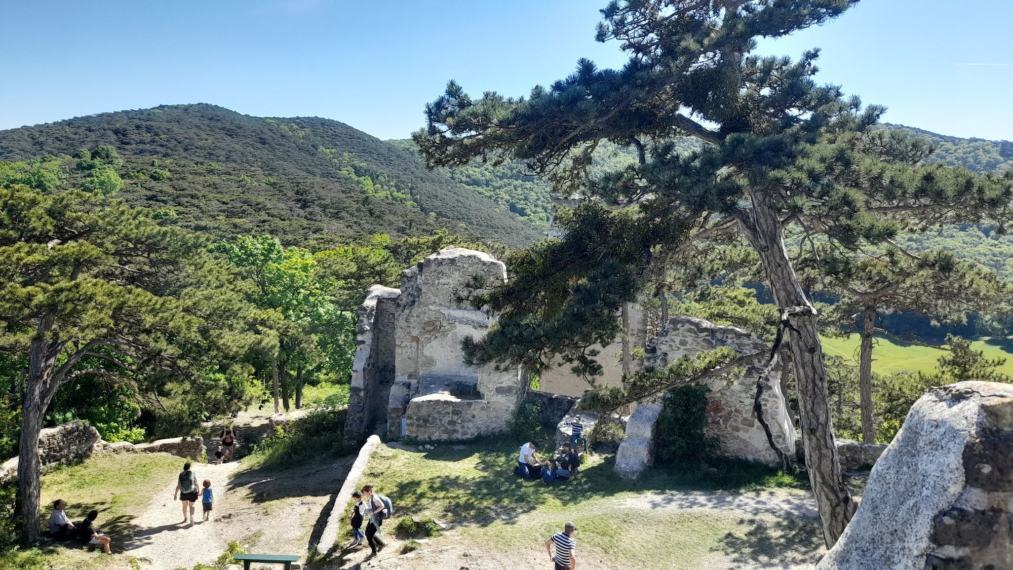

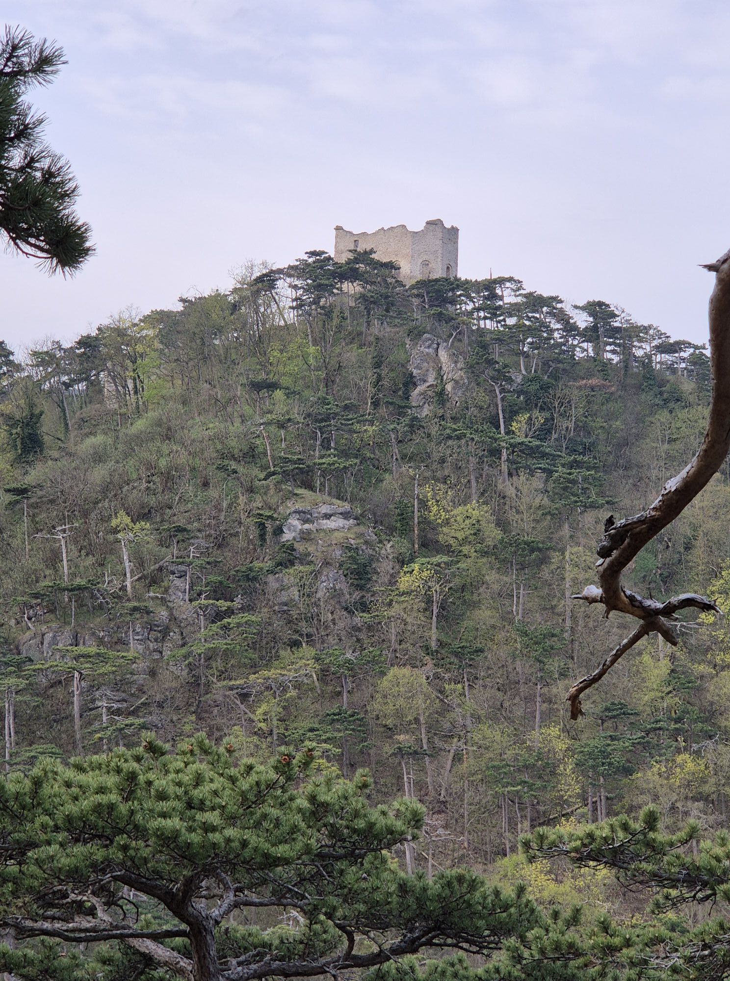
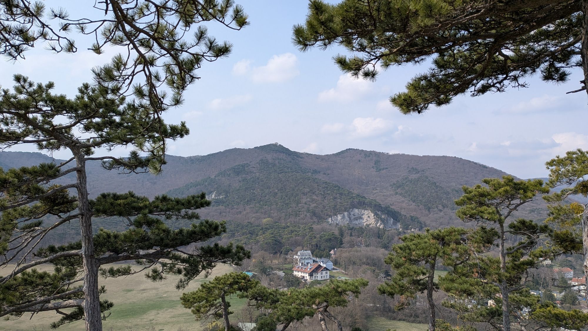

Tip/fun fact: One of the highlights of the tour is the magnificent Hussar Temple at the summit of the Kleiner Annninger. It was built in 1813 as the "Temple of War Glory" and is dedicated to the fallen...
Tip/fun fact: One of the highlights of the tour is the magnificent Hussar Temple at the summit of the Kleiner Annninger. It was built in 1813 as the "Temple of War Glory" and is dedicated to the fallen of the Battle of Aspern.

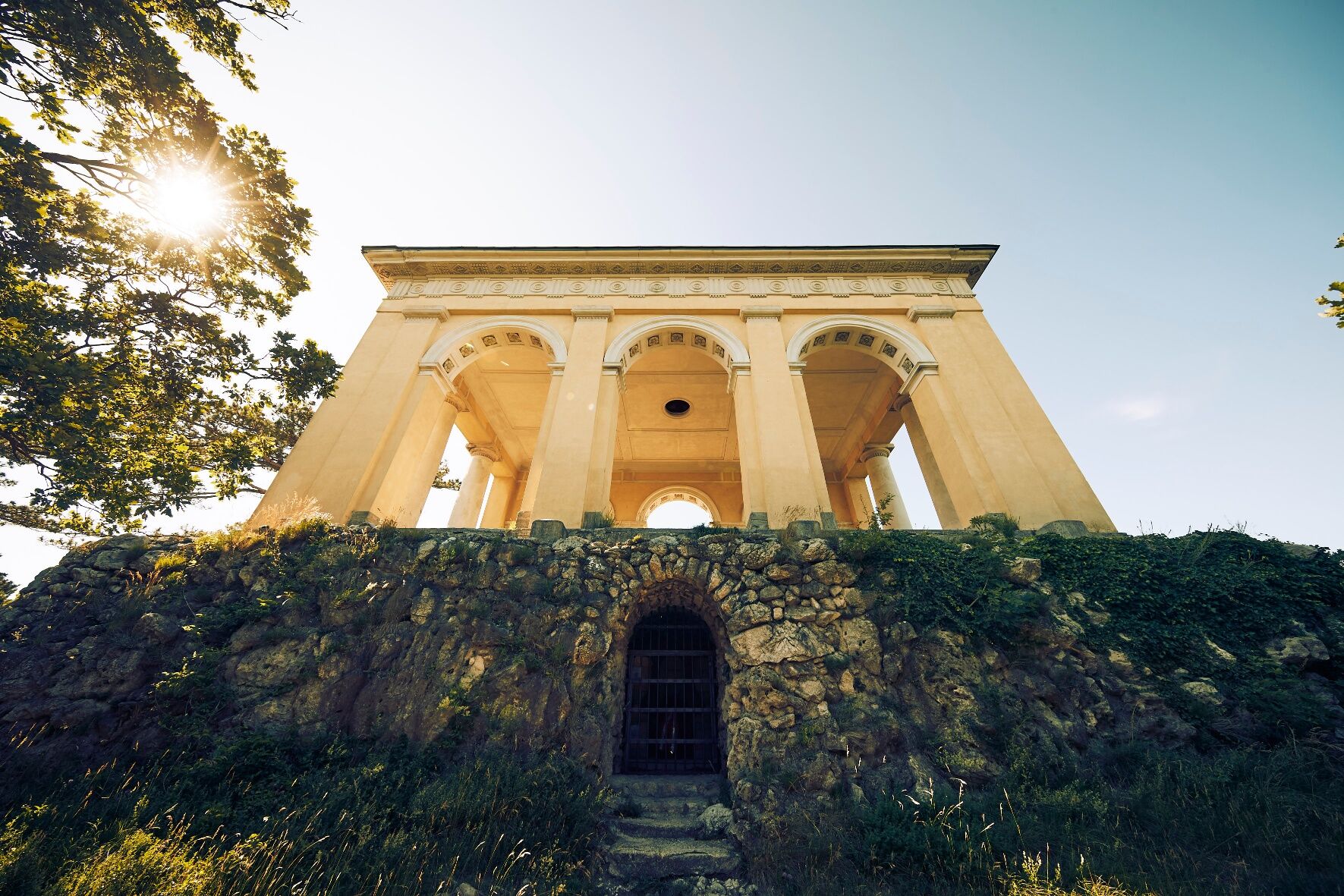
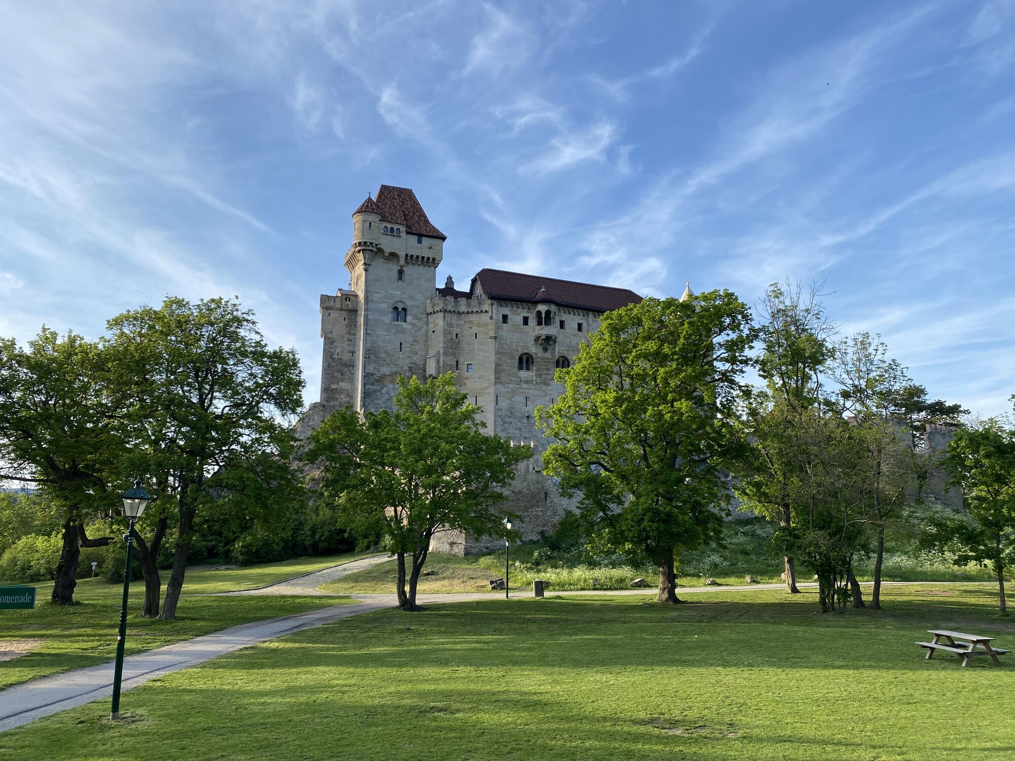
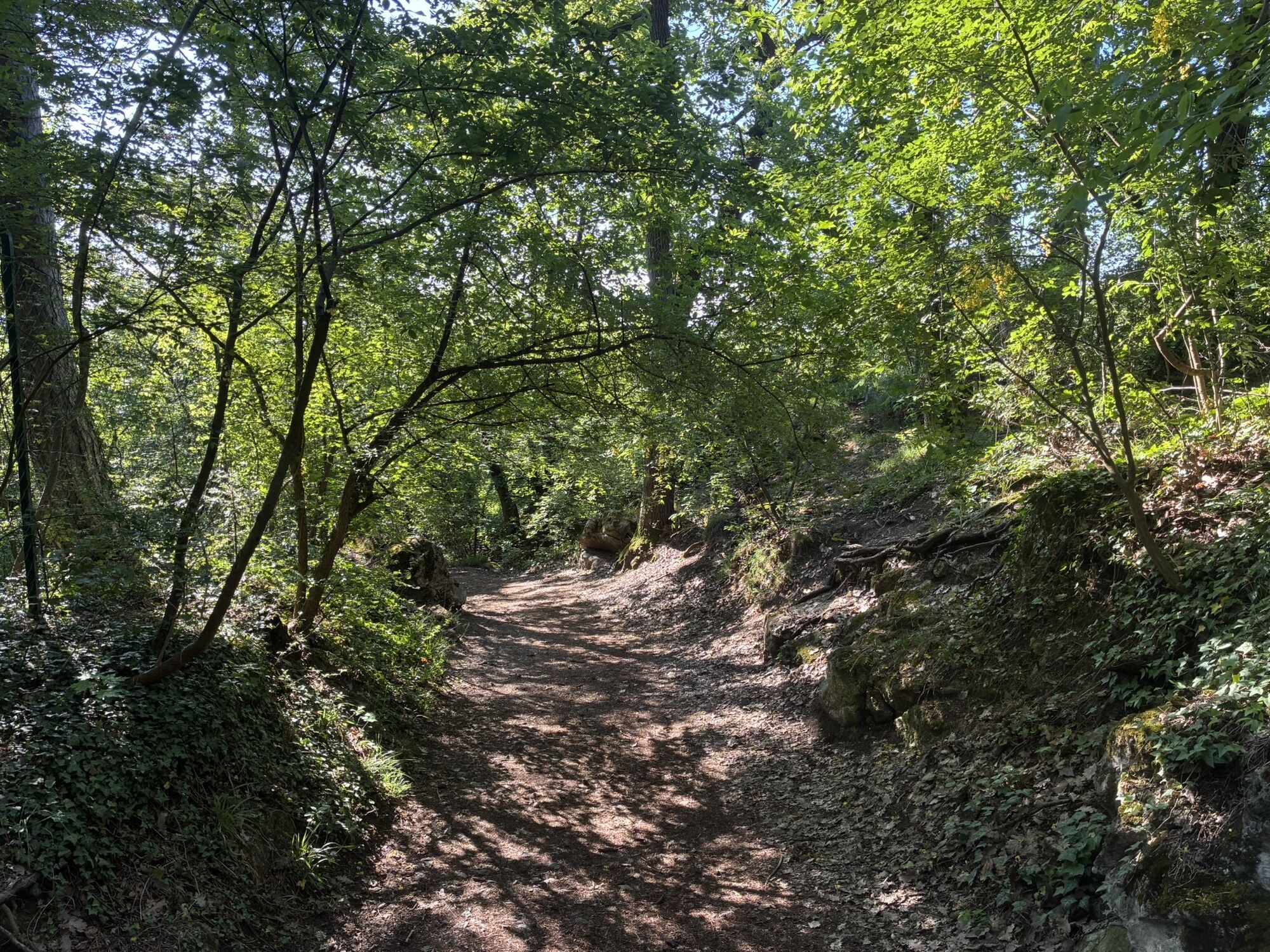
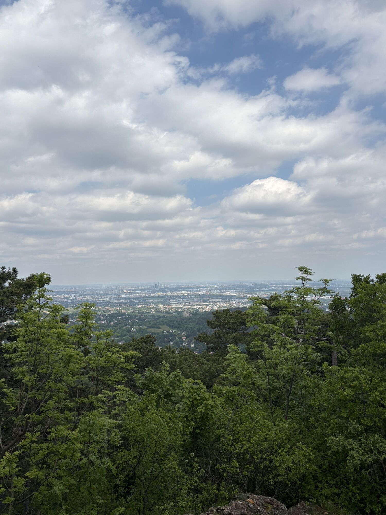
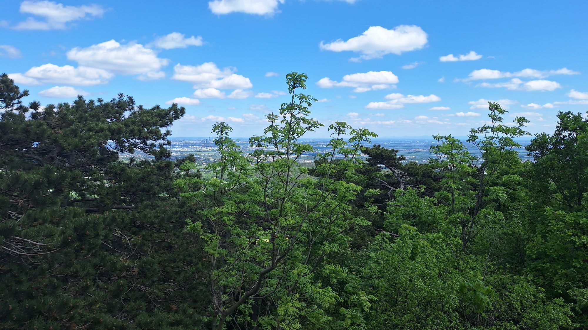
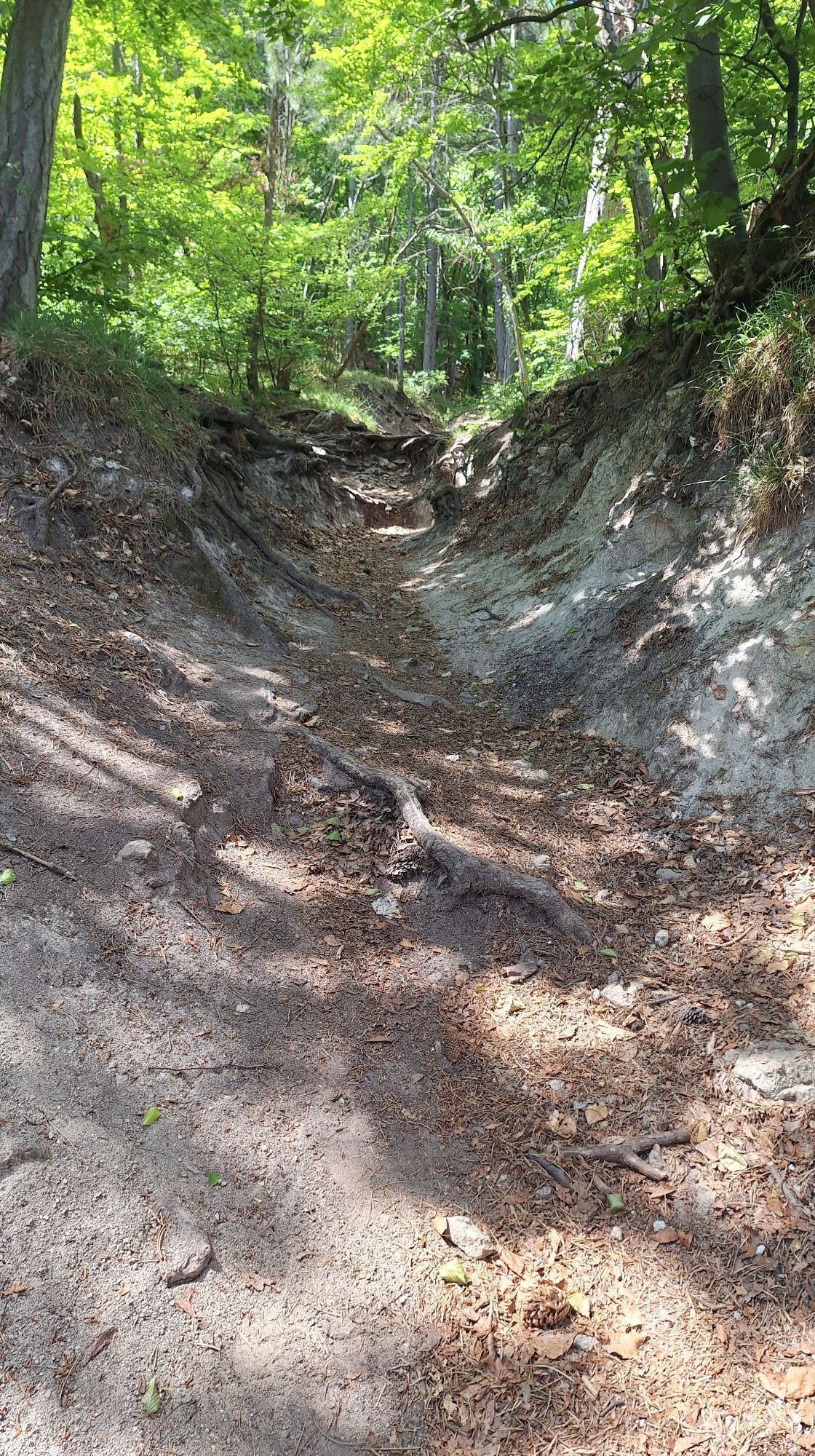
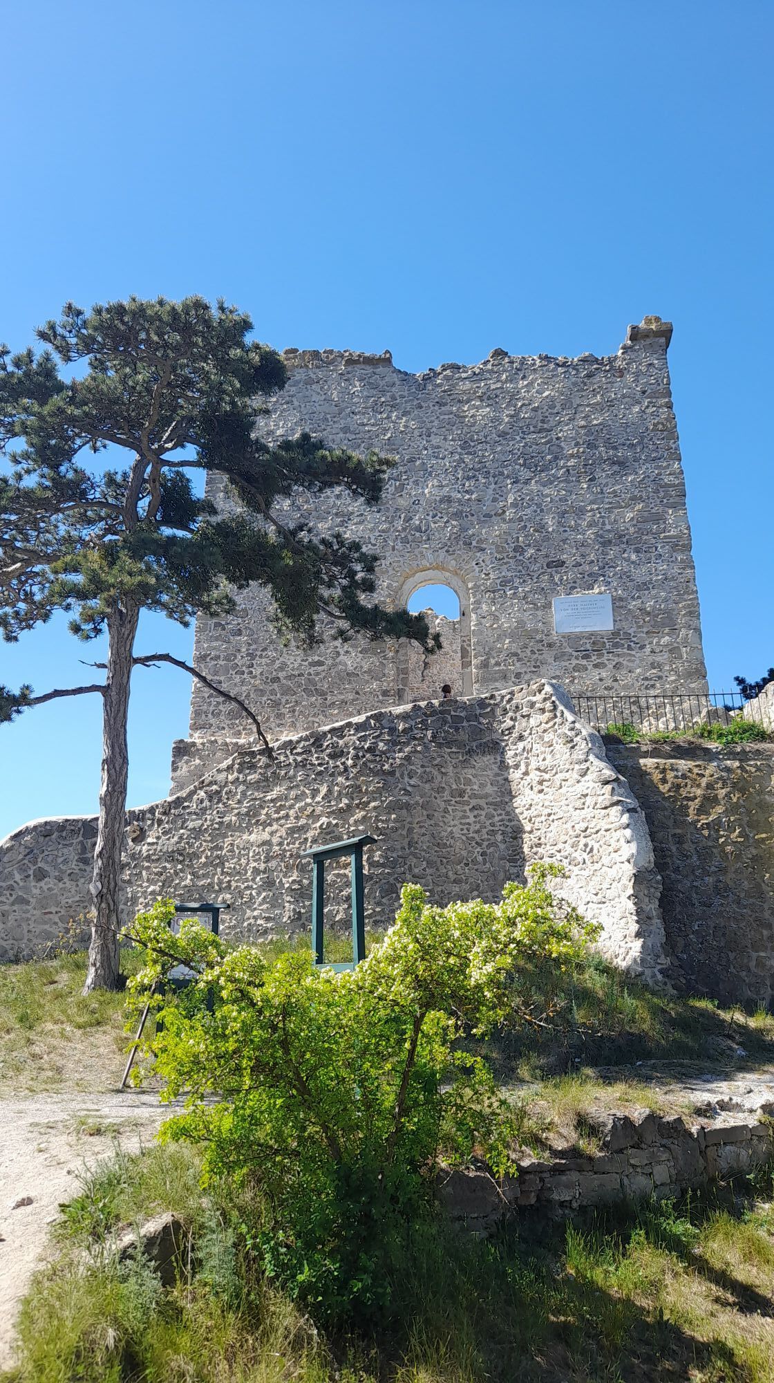
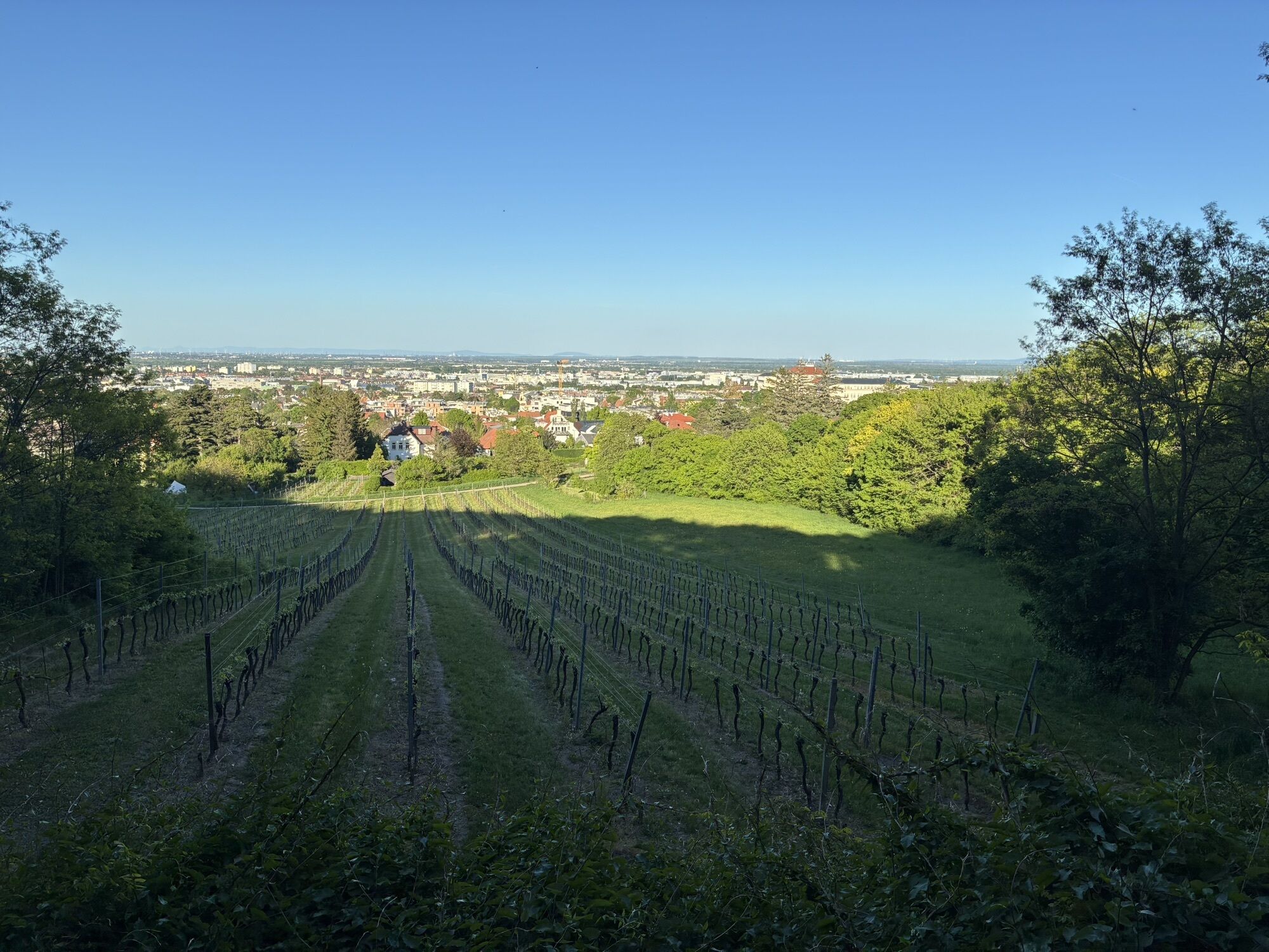
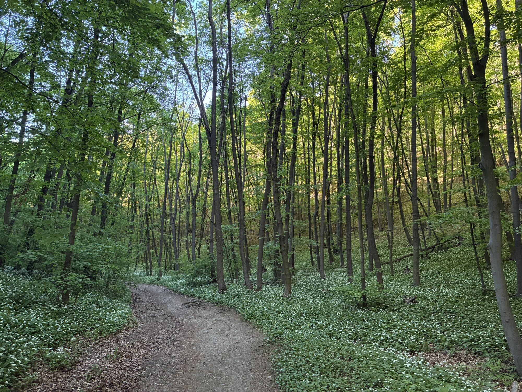
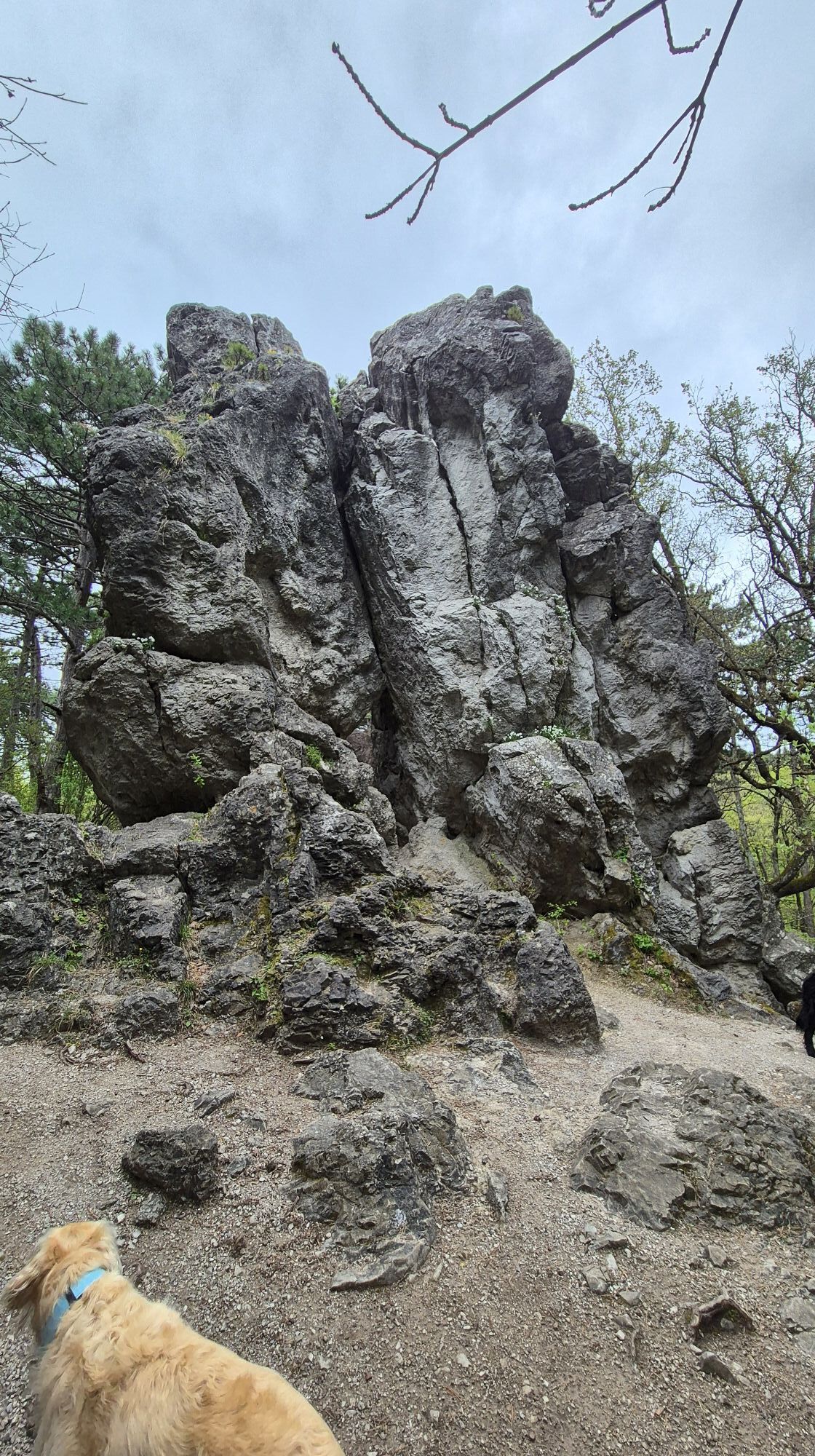
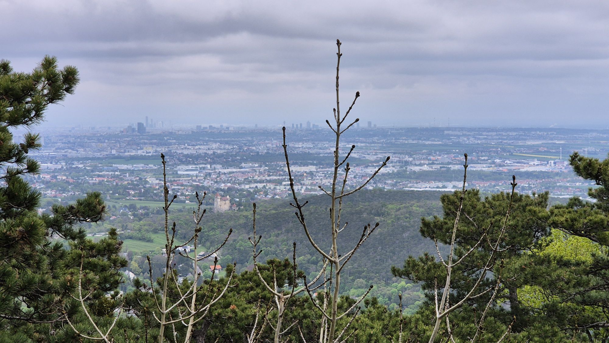
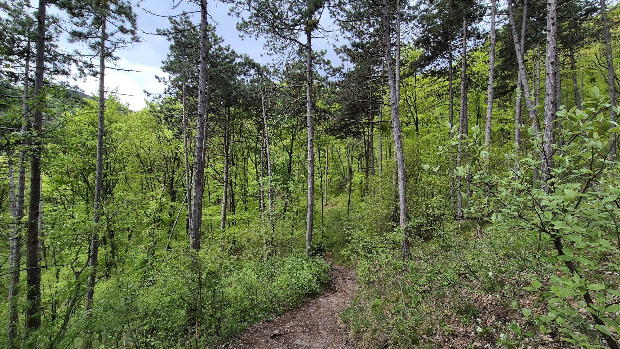
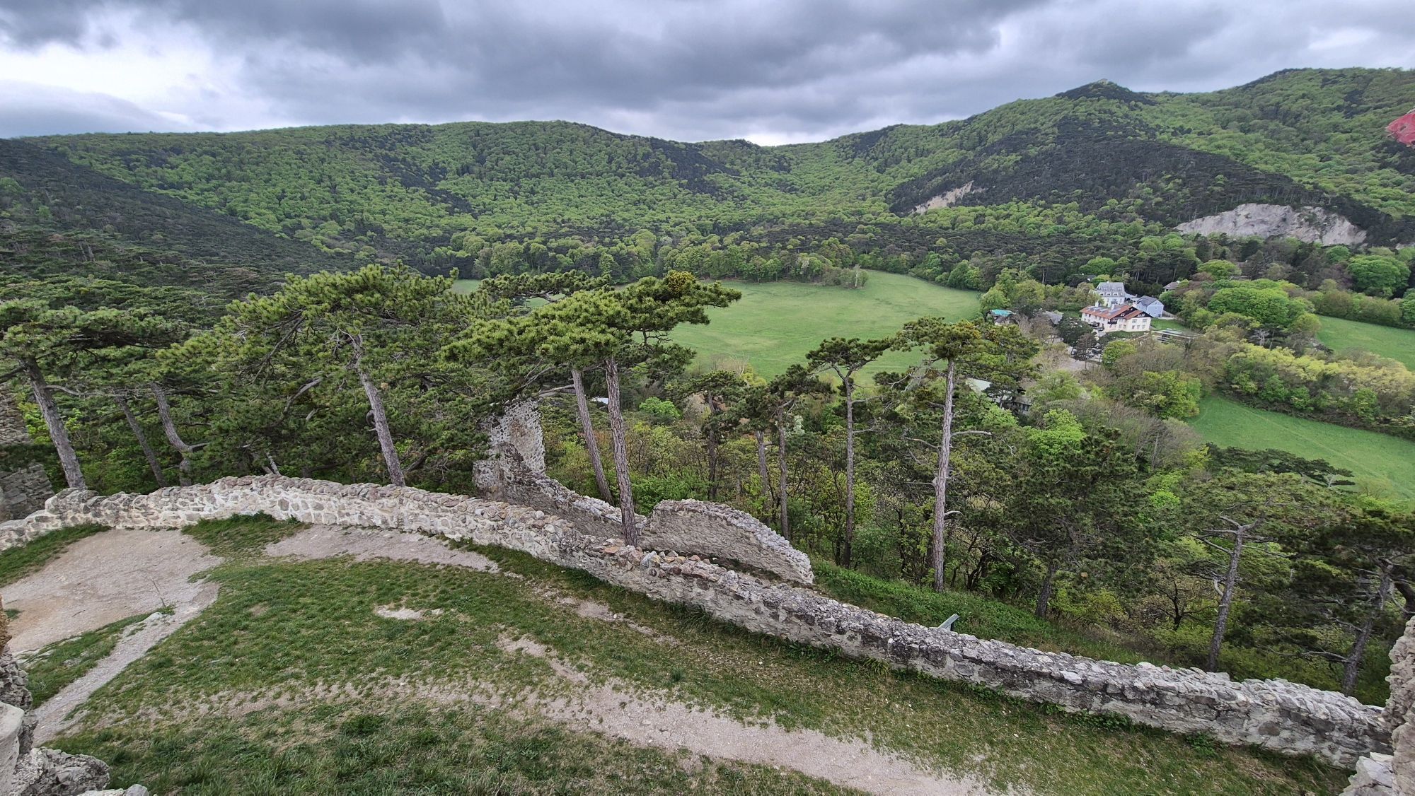
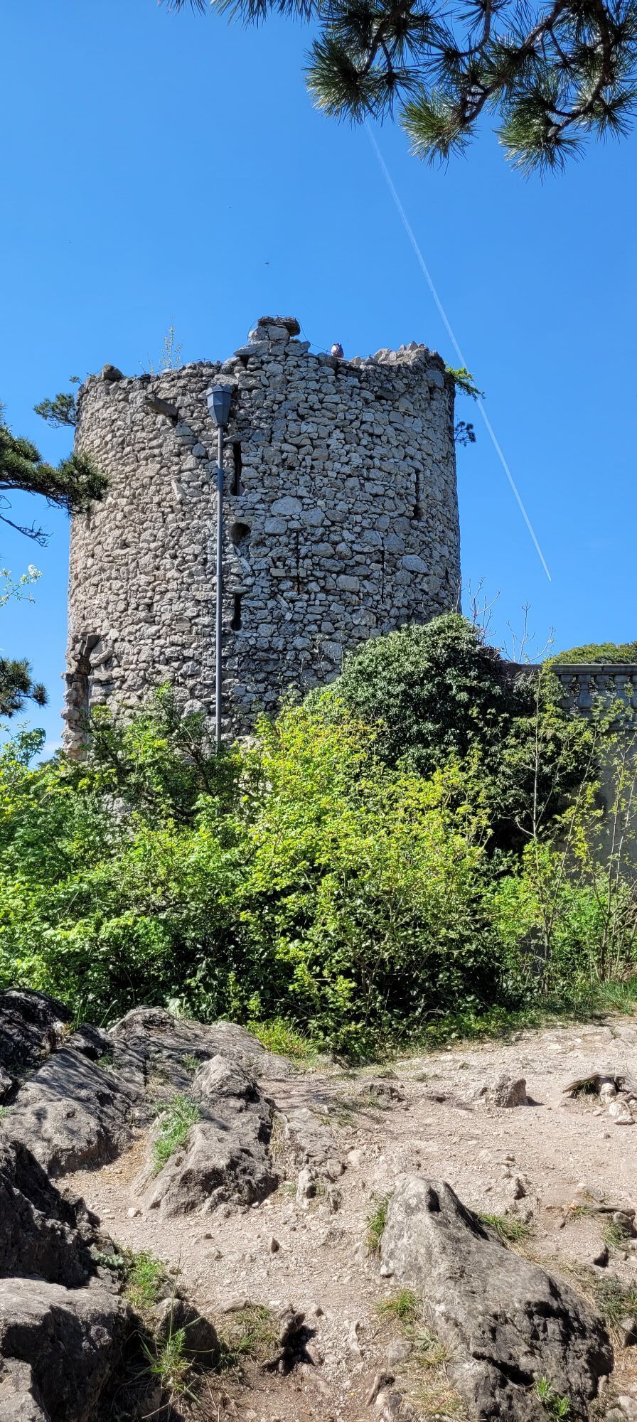
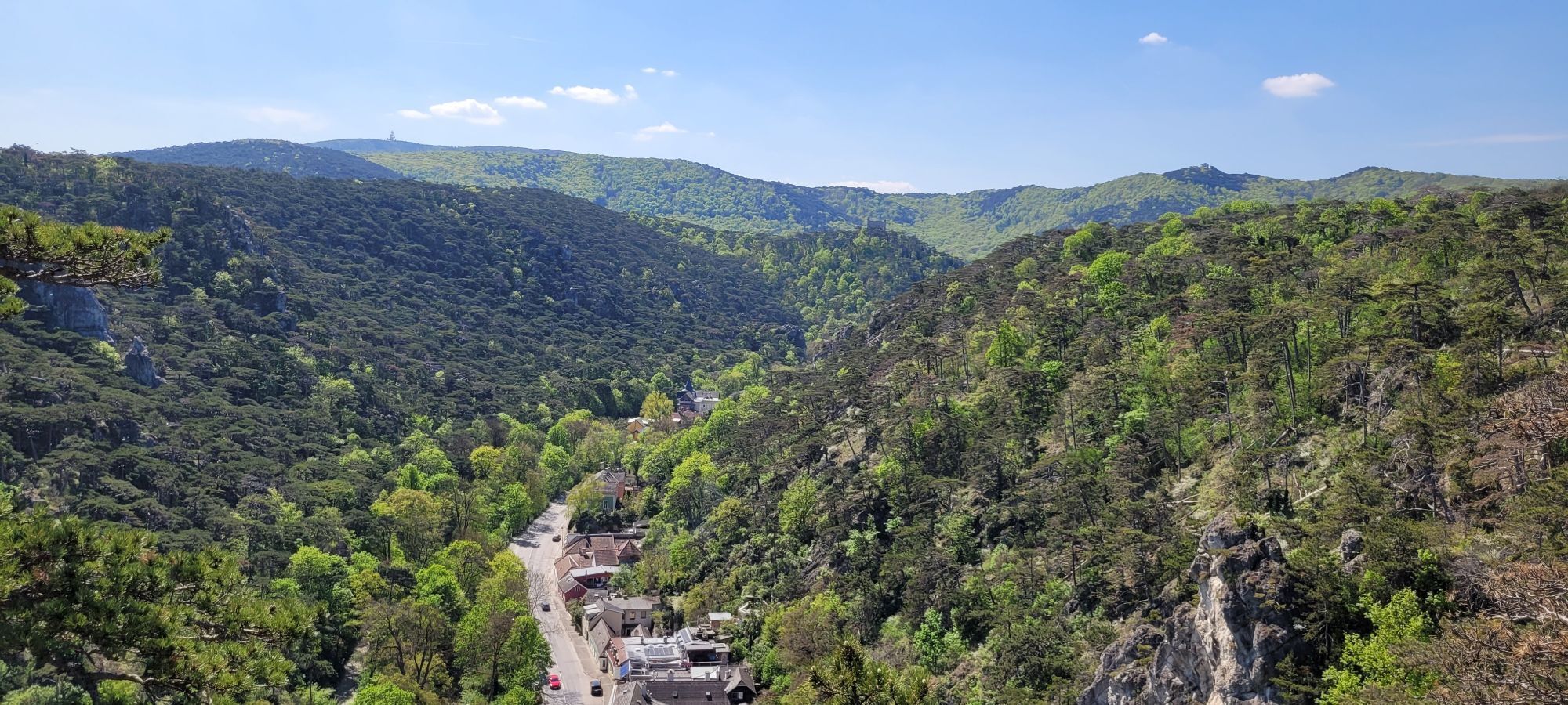
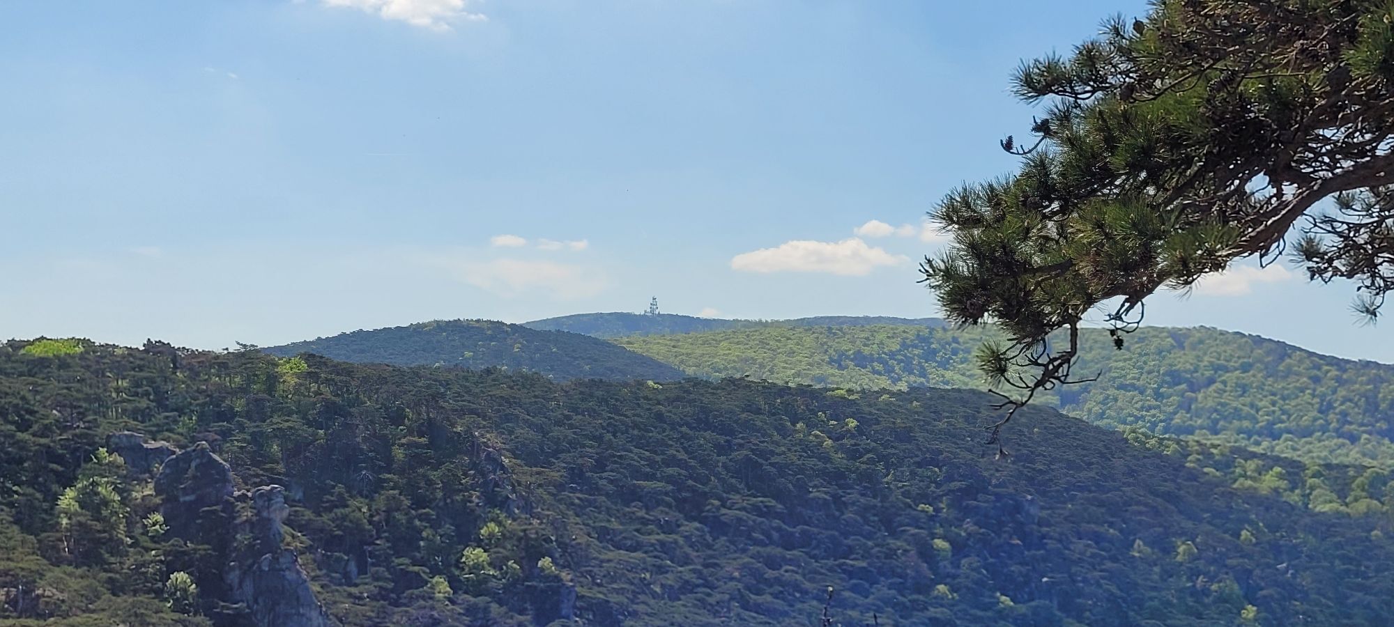
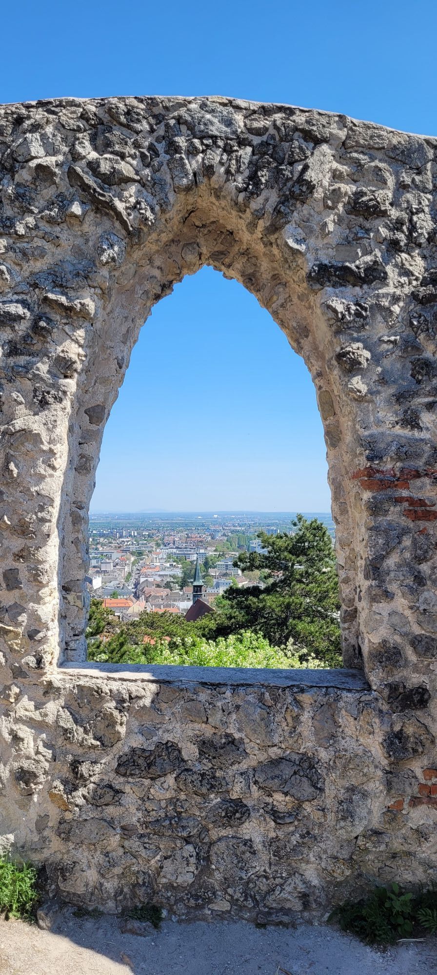
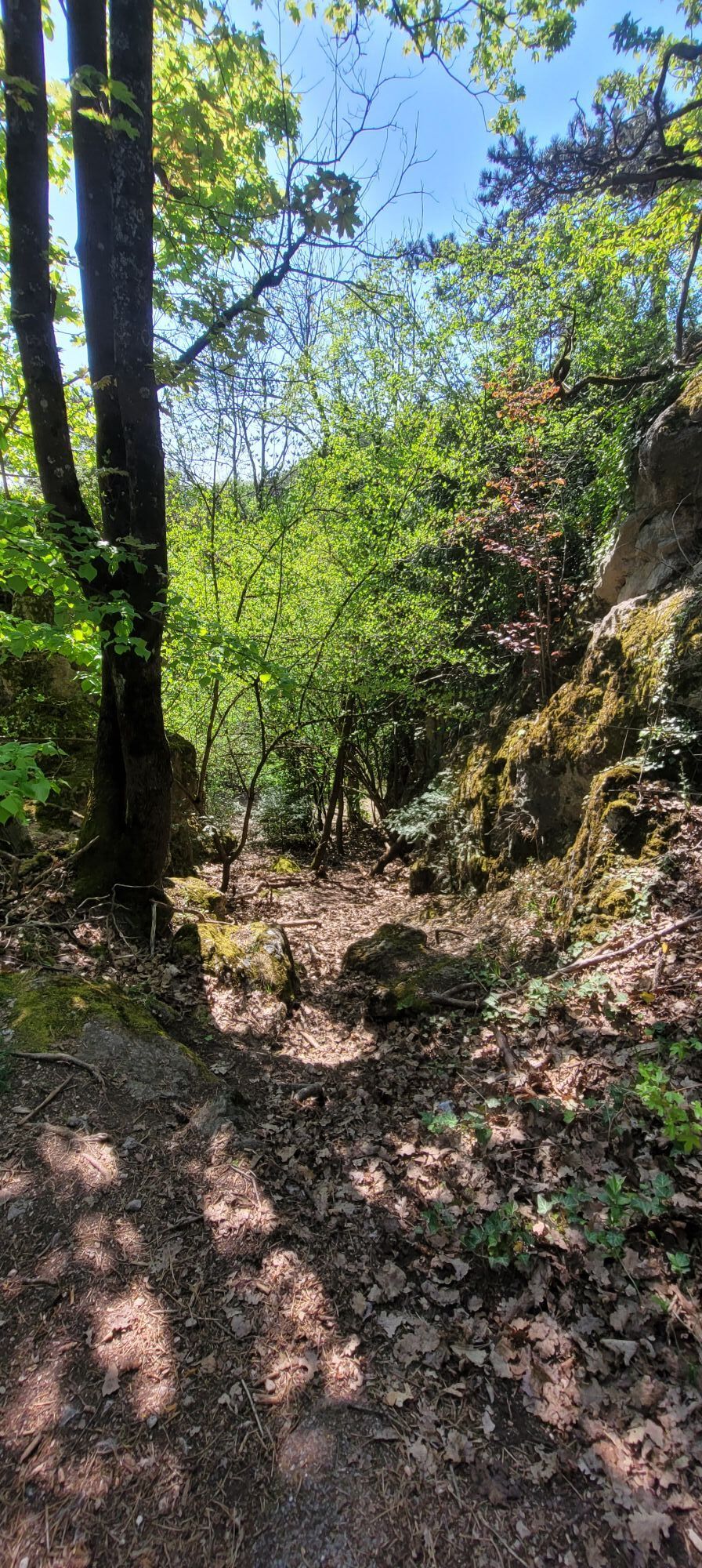
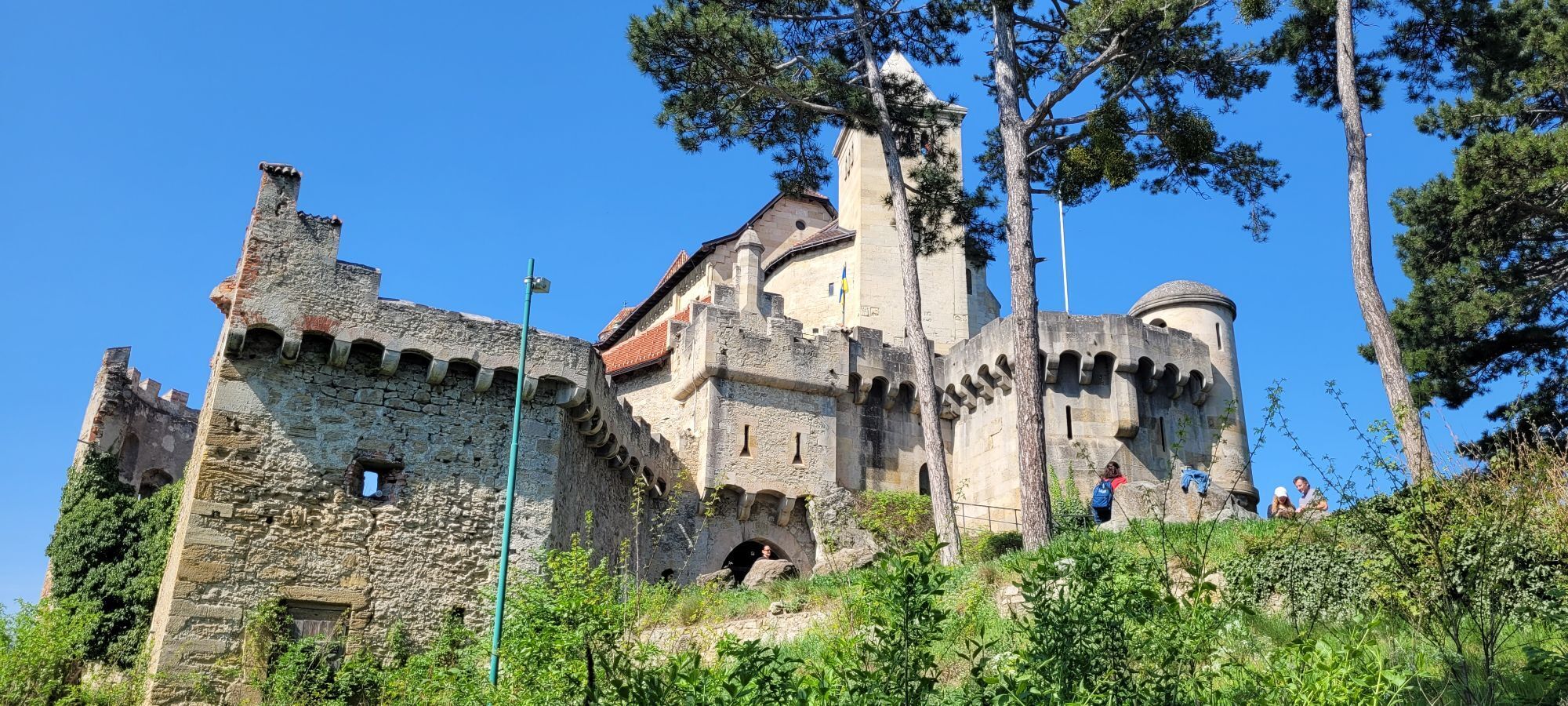
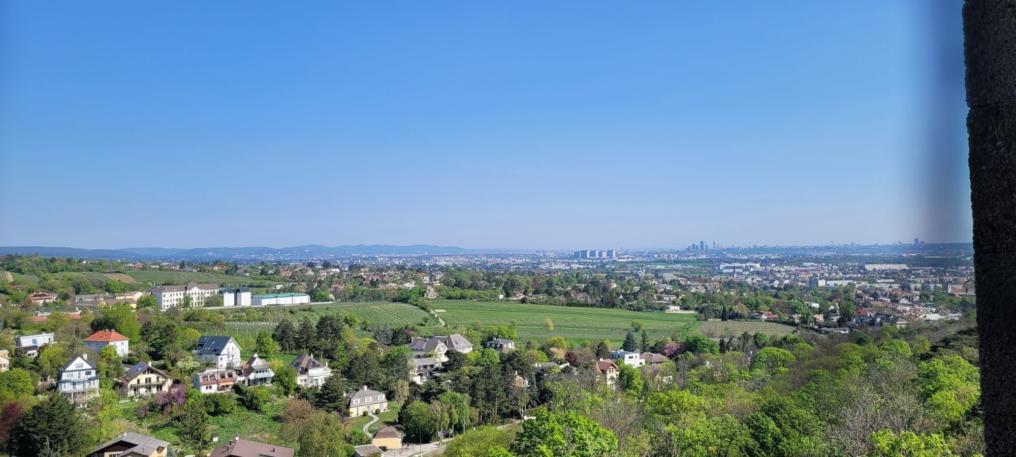
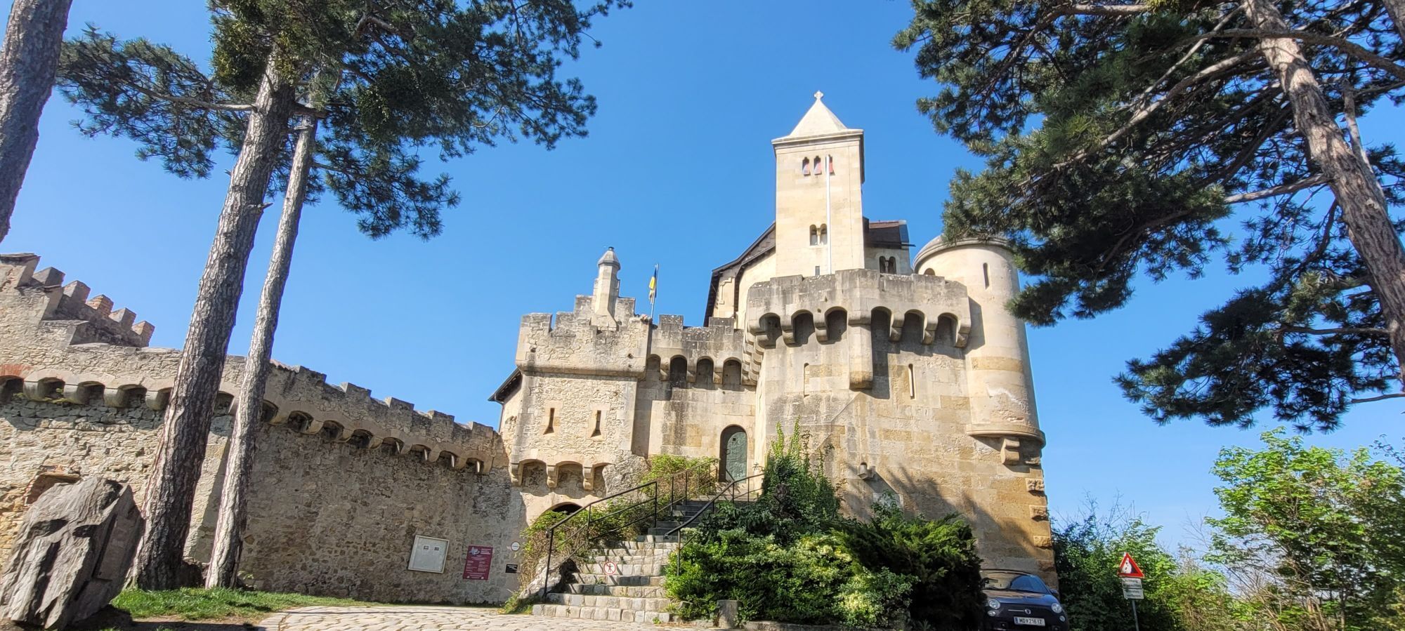
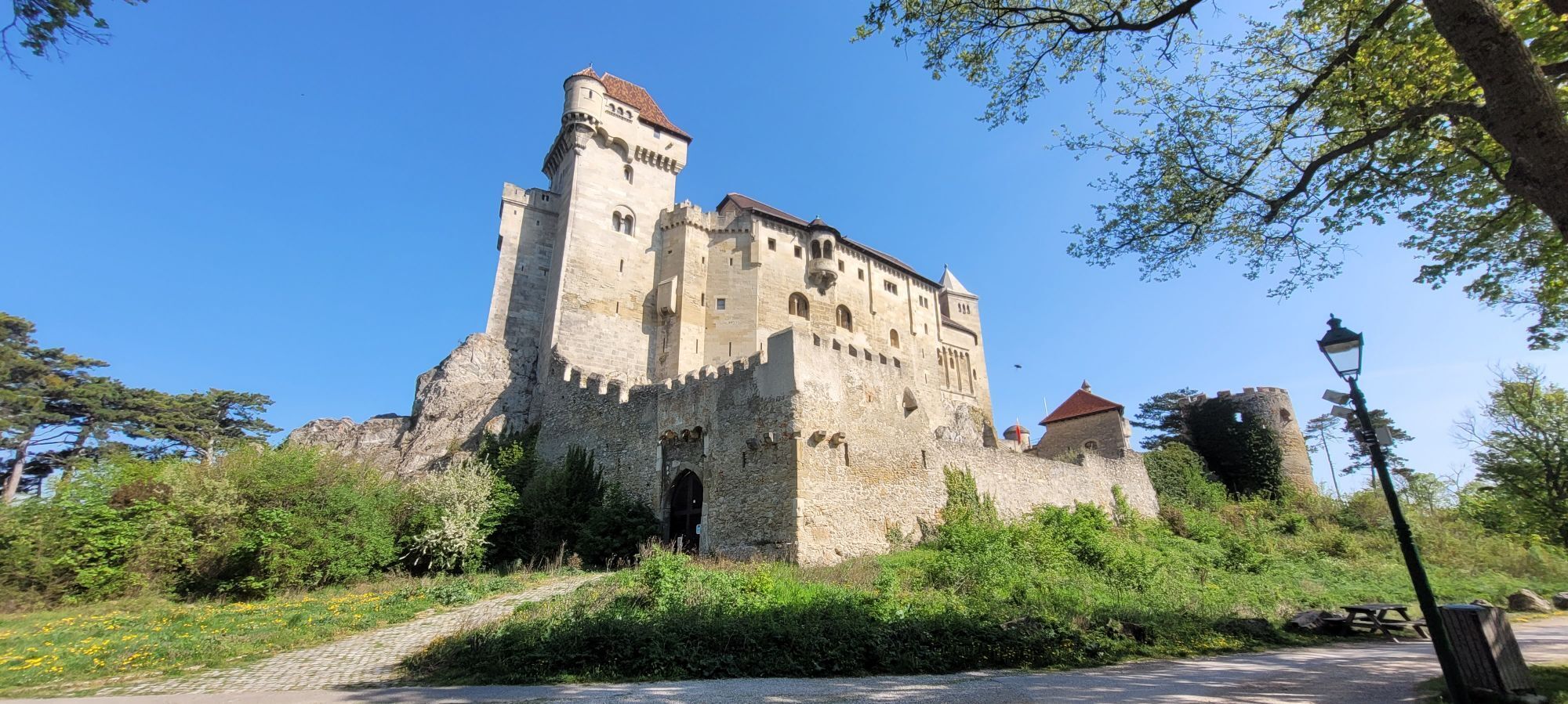
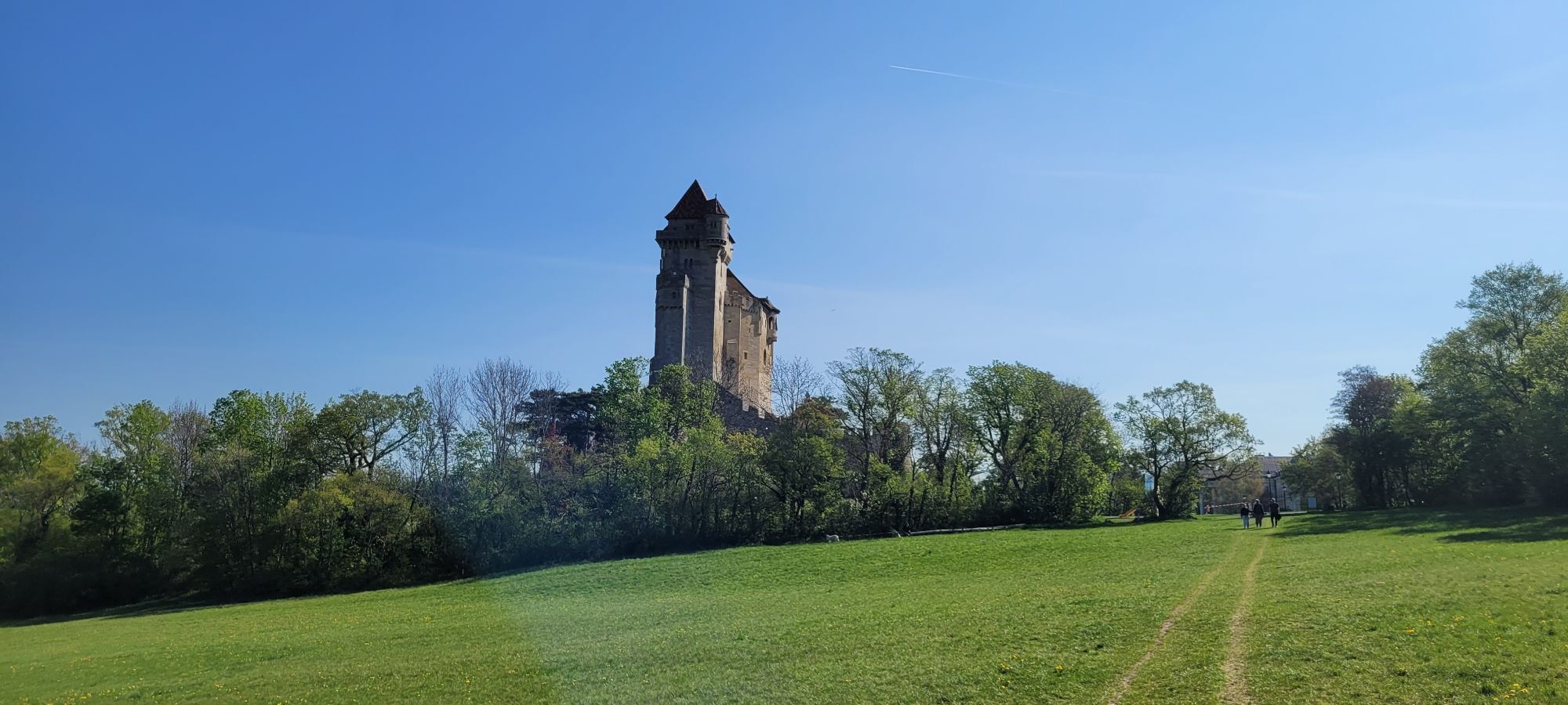
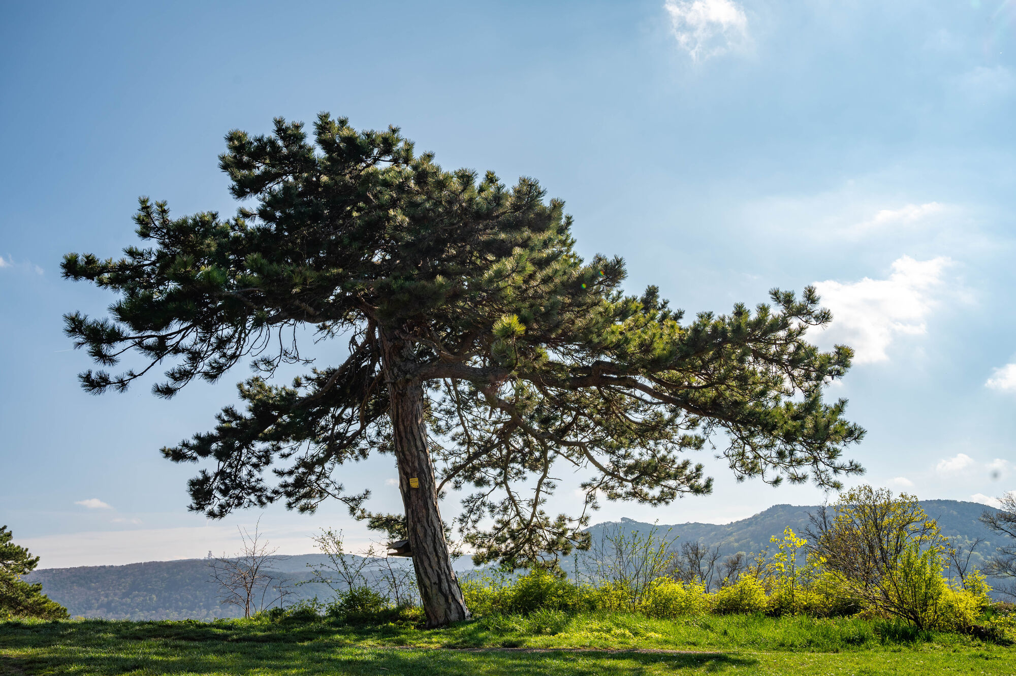
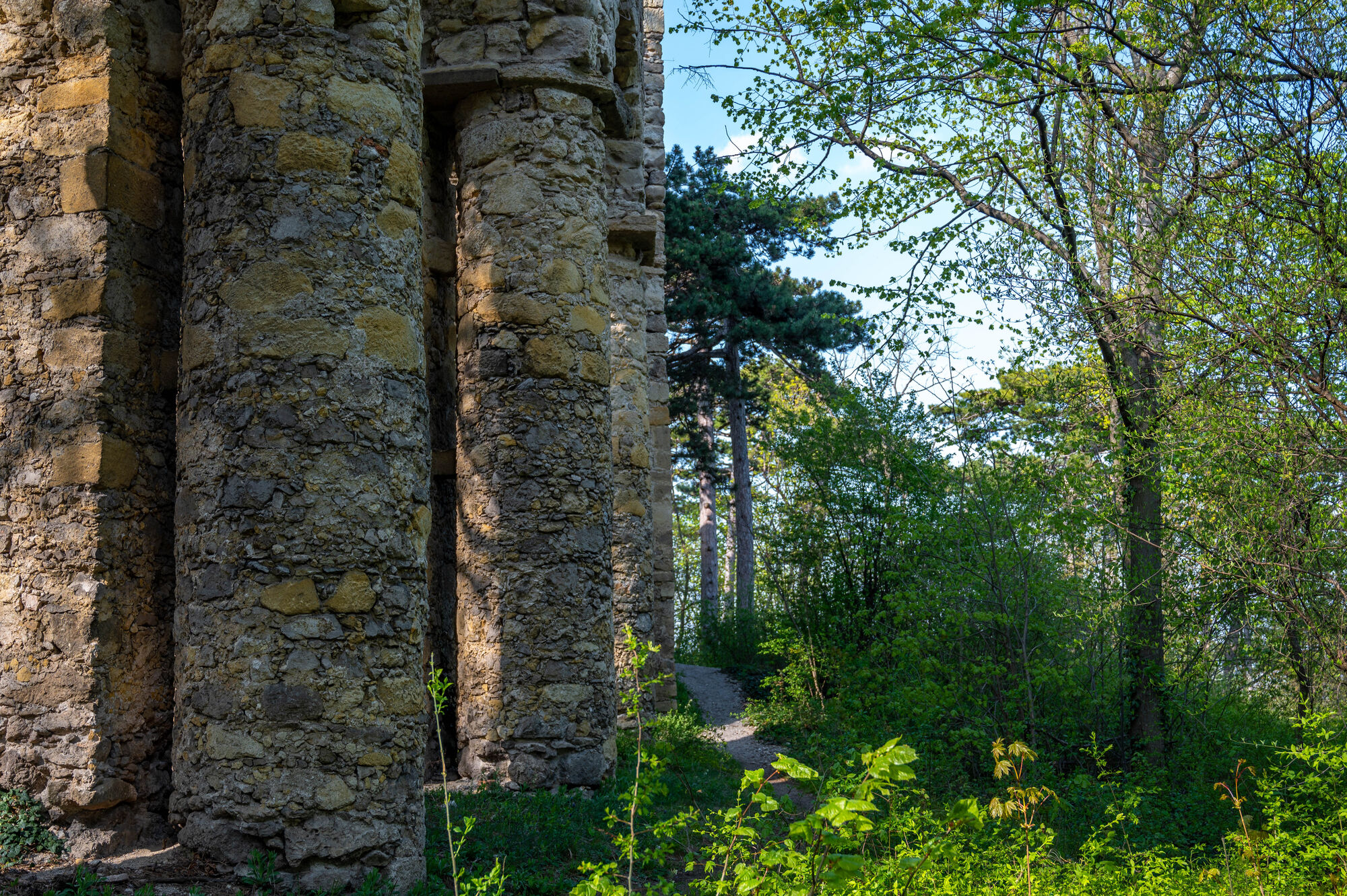
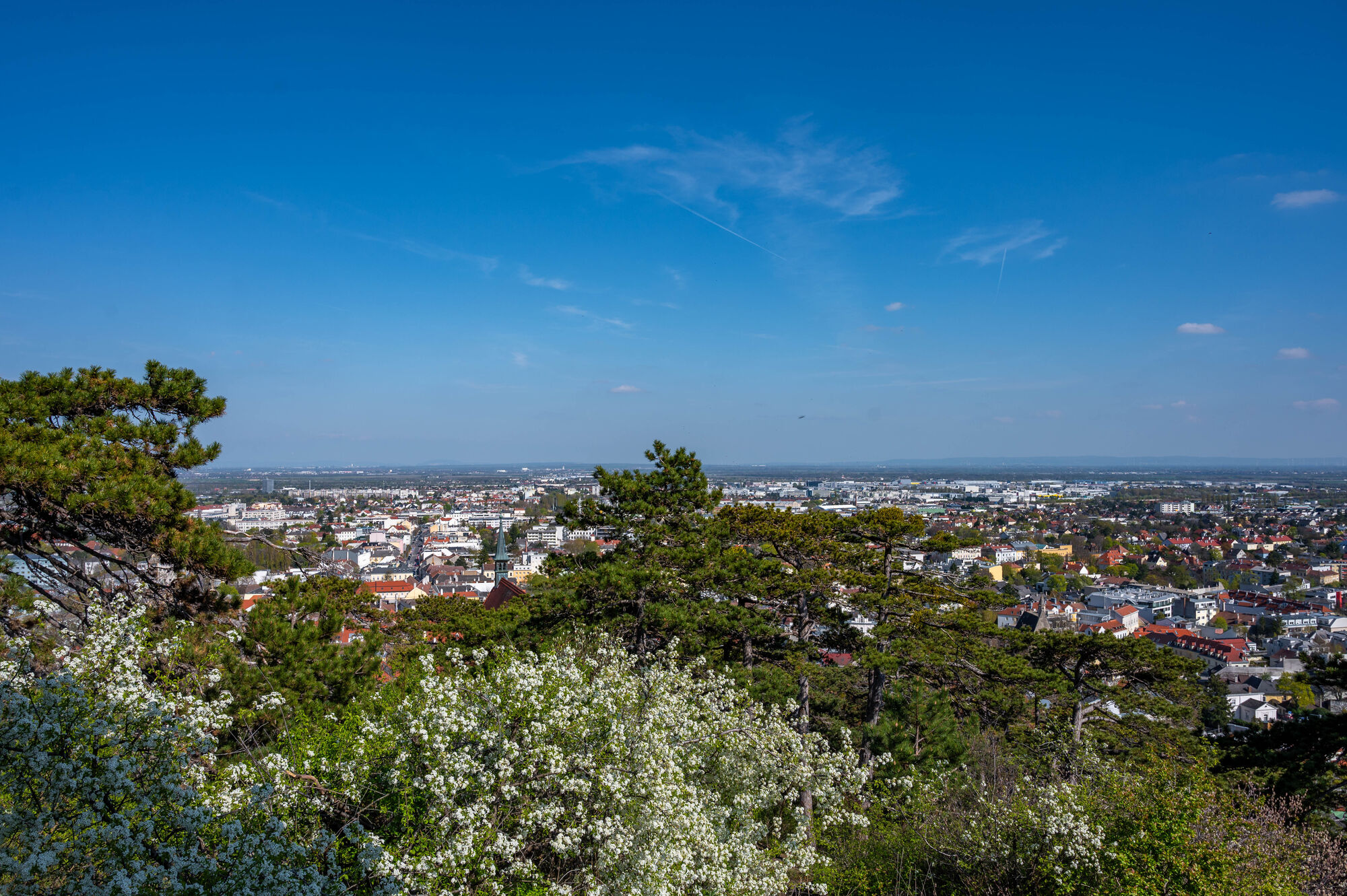
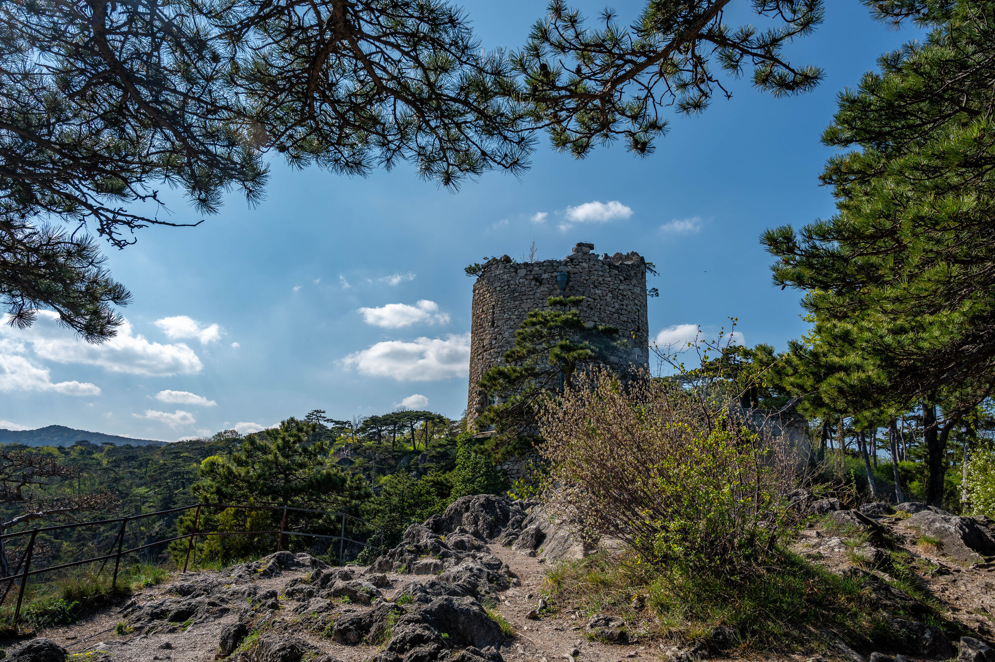
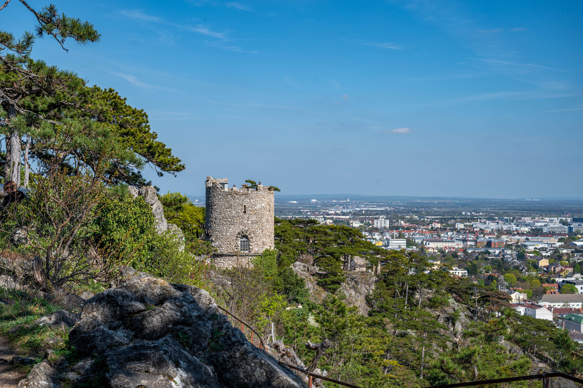
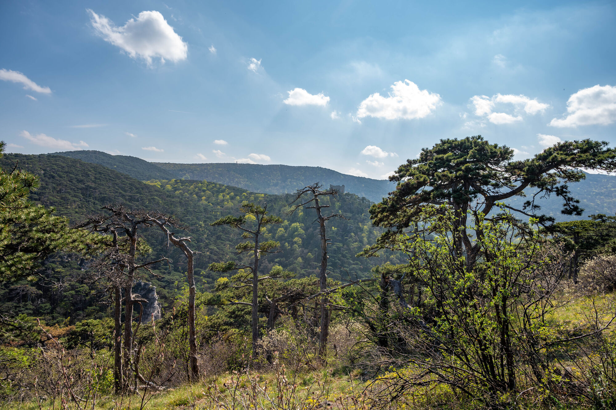
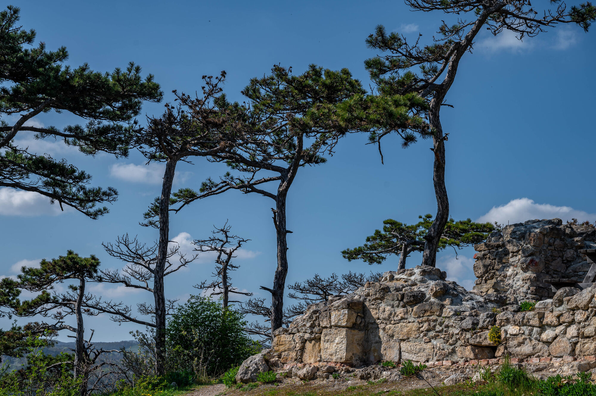
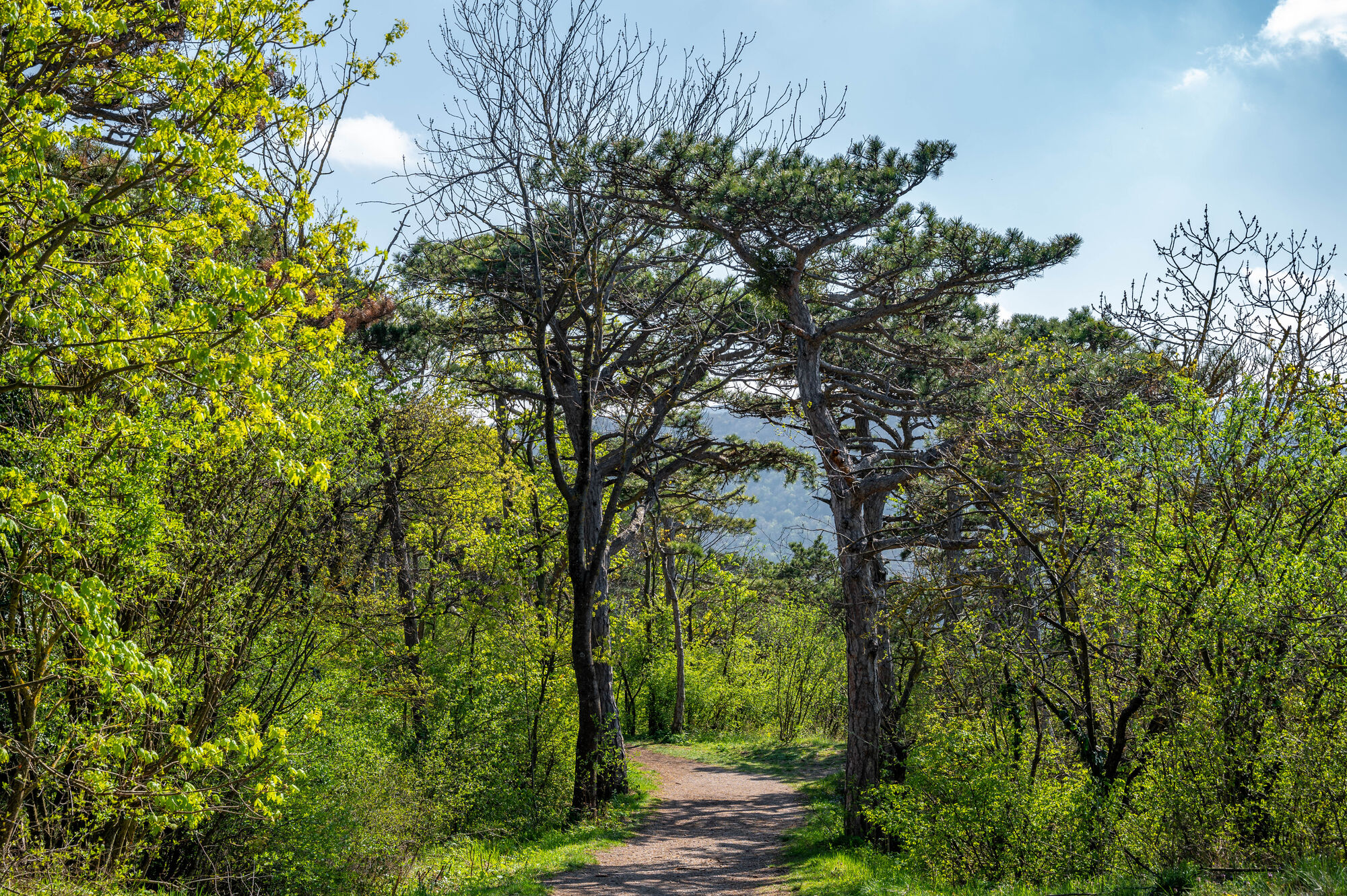
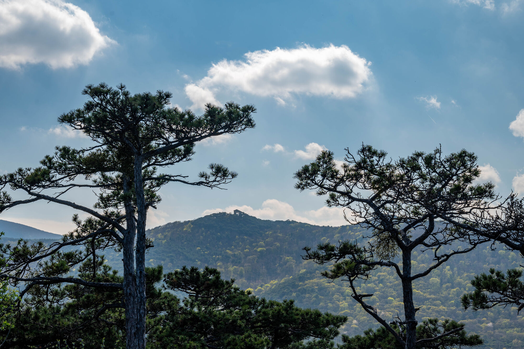
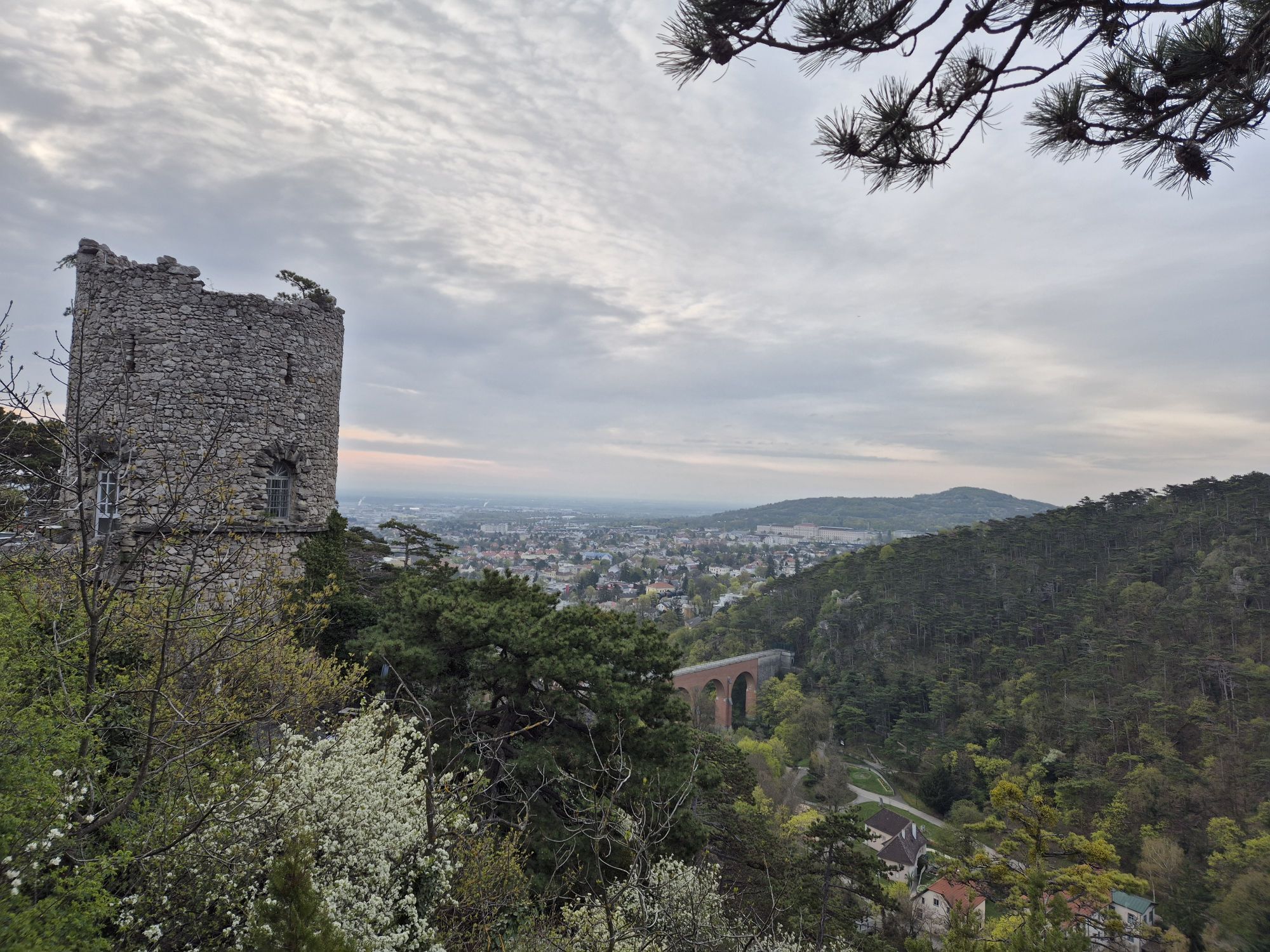
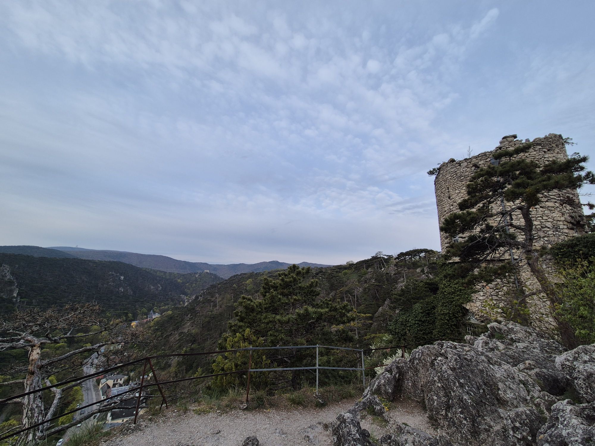
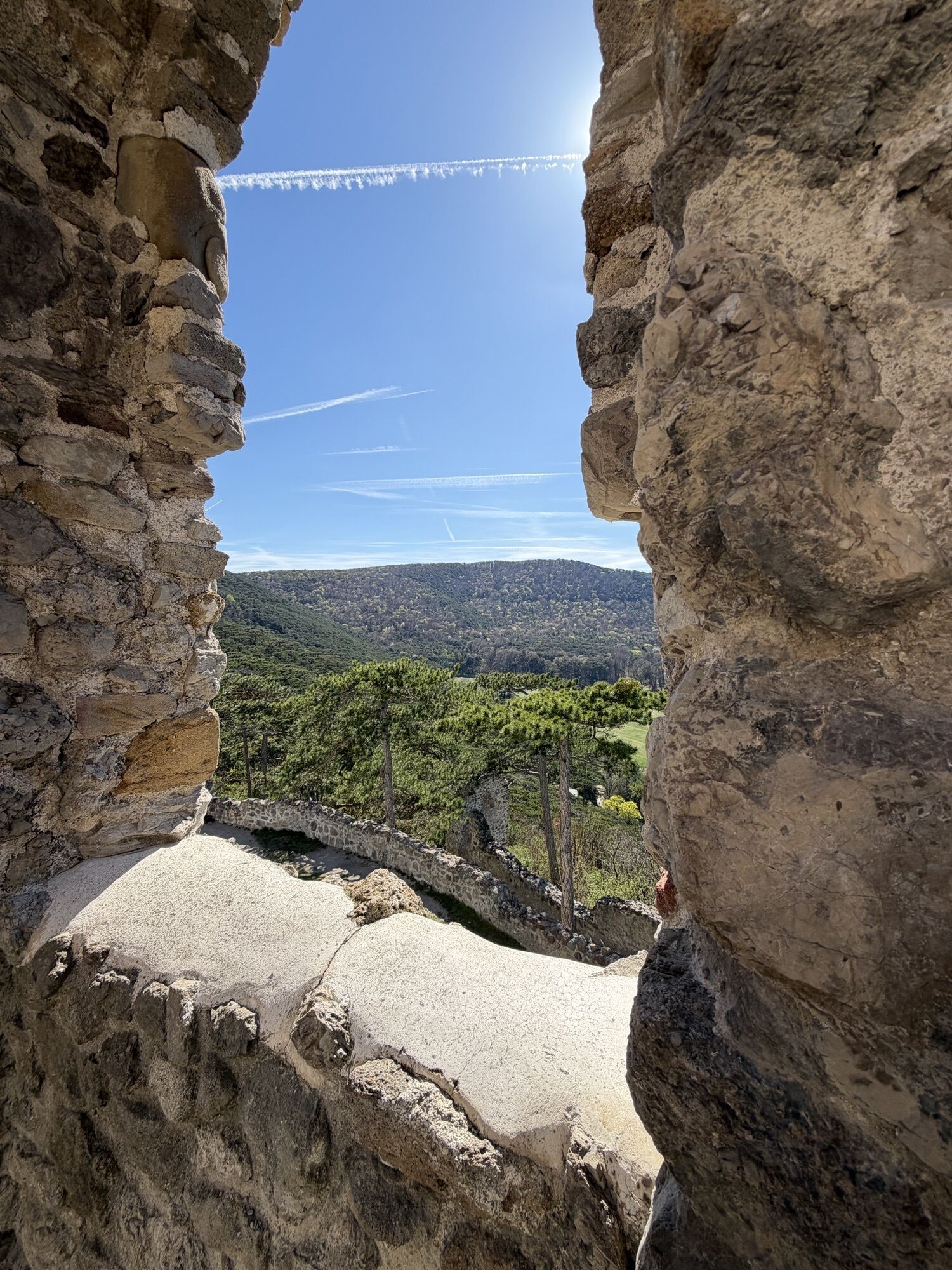
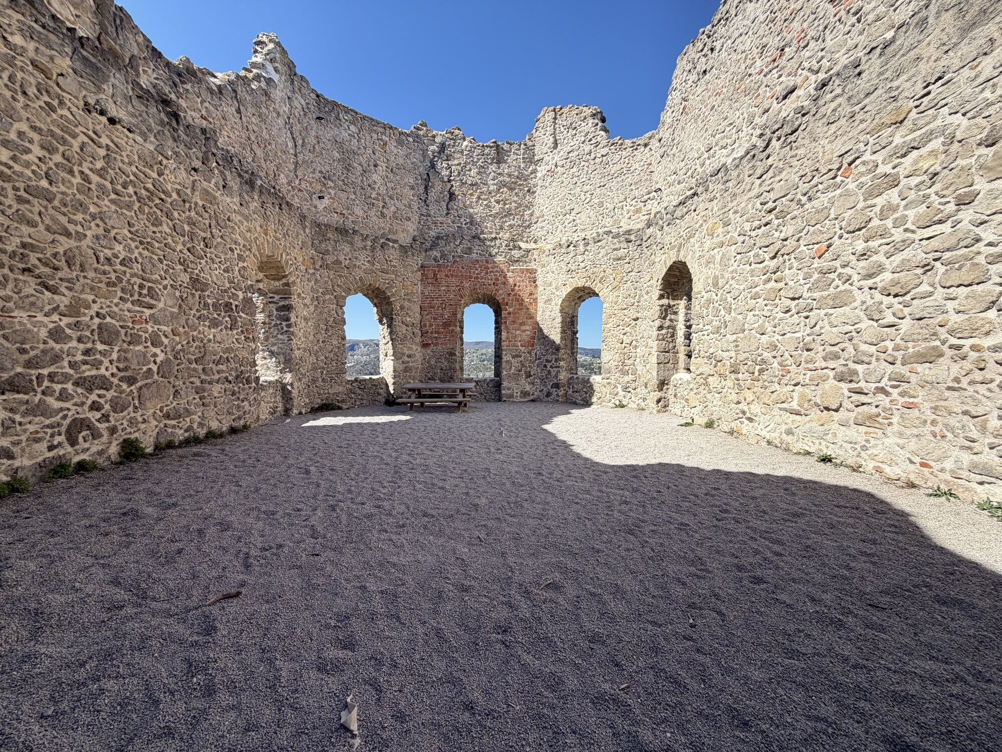
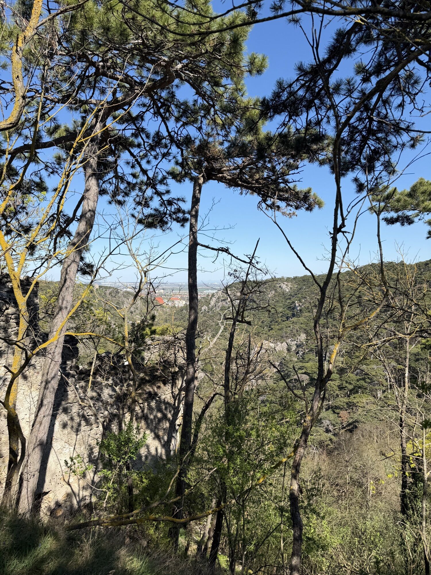
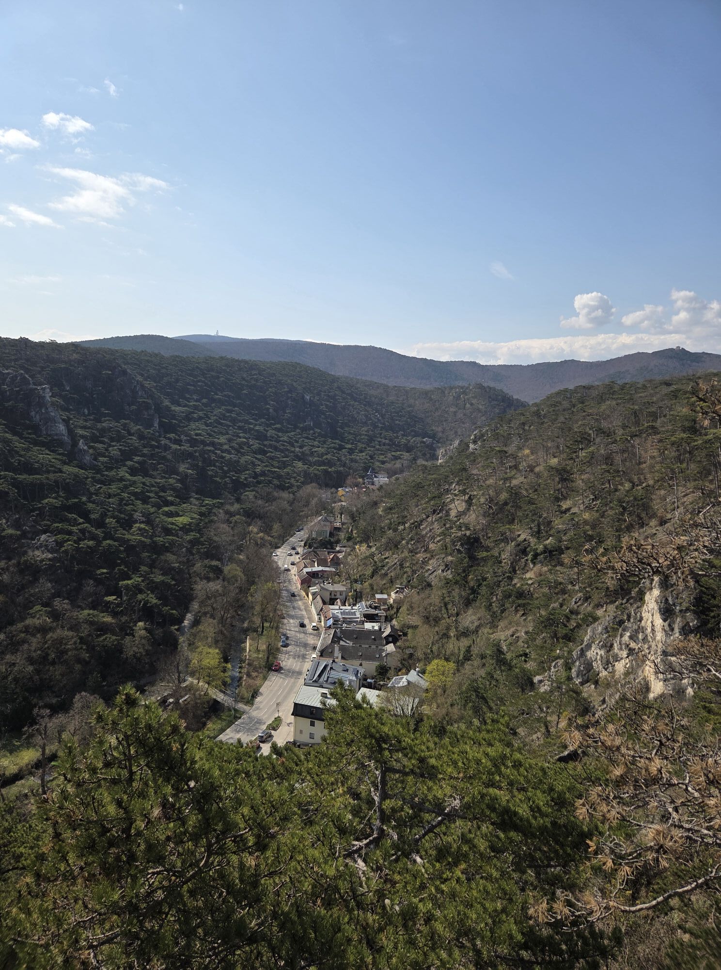
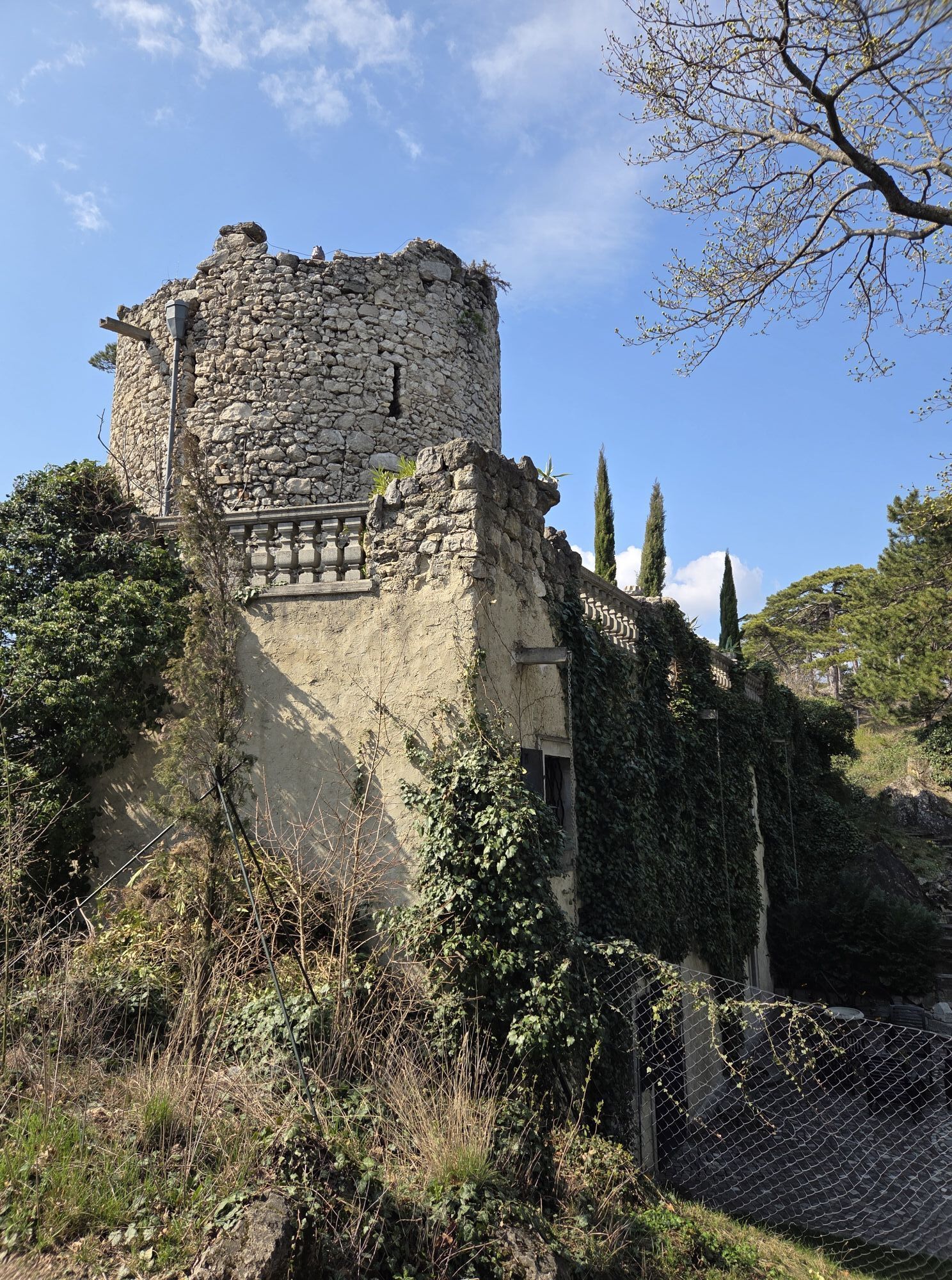
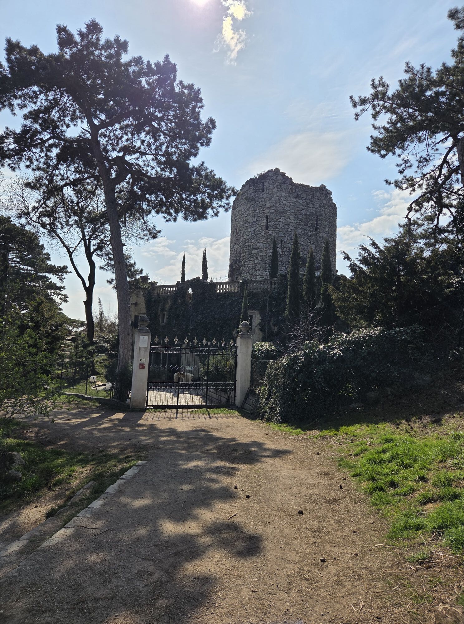
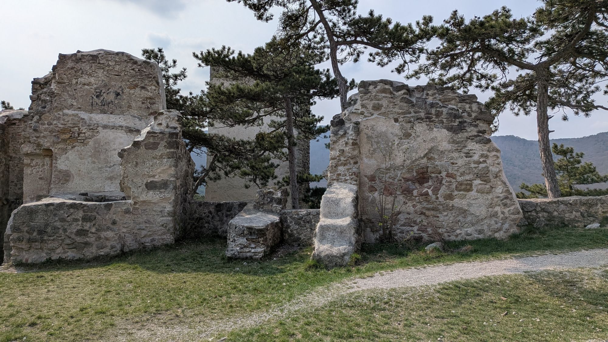
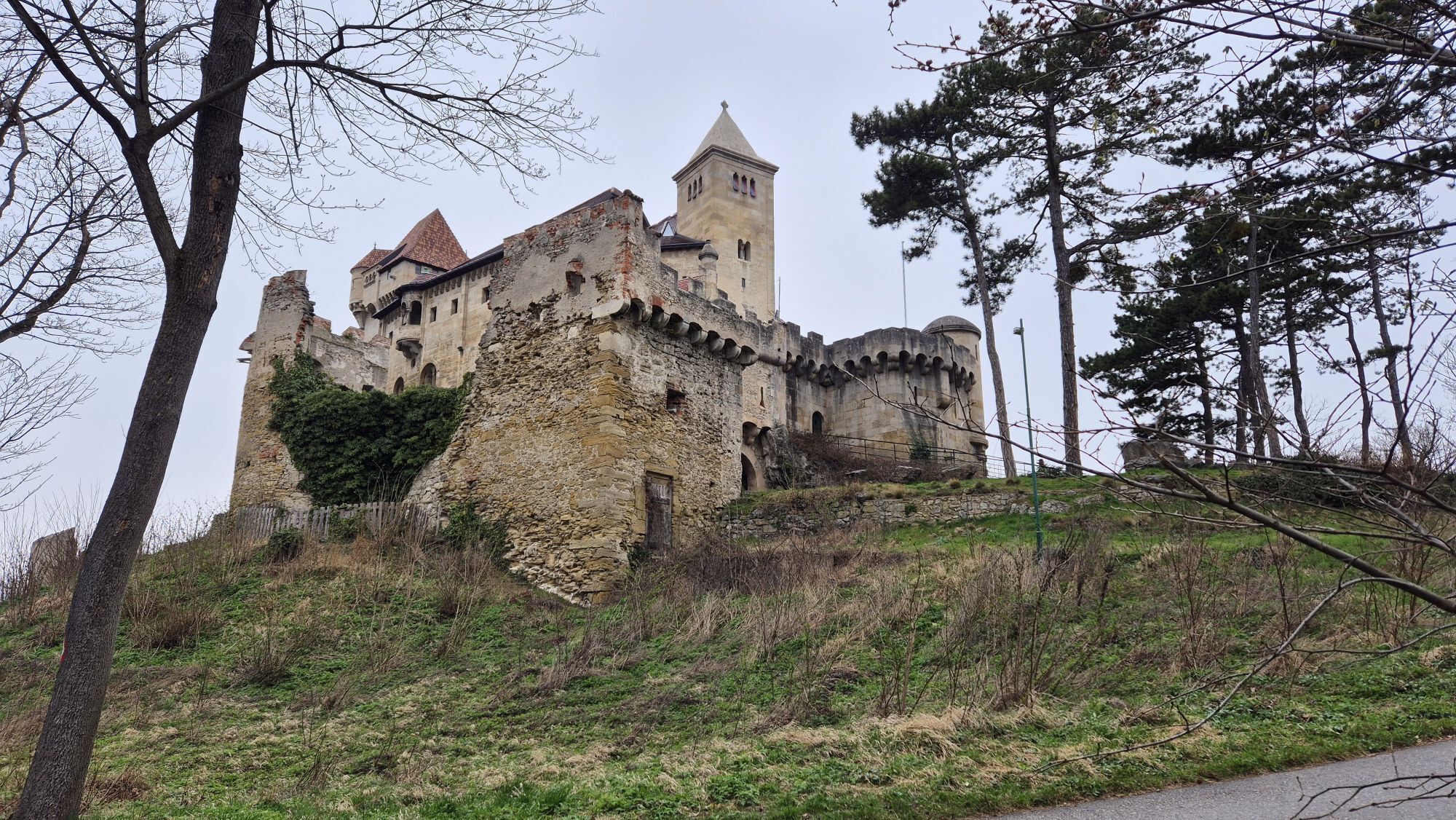
Anyone arriving by train starts their hike at the station square heading towards the Mödling River and follows it along Bachgasse, Toni-Berg-Promenade, and Achsenaugasse to the junction with Viechtlgasse. There, crossing the river to the south side, continue on Achsenaugasse to Badstraße, where turn left and after 100 m turn right into Babenbergergasse, leading into the town center. Just before the church, turn left, passing Europaplatz and Neusiedler Straße to the intersection with B 11. Via Goldene Stiege, proceed to Waldgasthaus Bockerl, which has a popular parking lot especially for hikers and mountain bikers. There are no markings almost until the guesthouse. Visitors arriving by car should use this parking lot. Now leave the urban area via a forest promenade heading south, following the red-white-red markings 444 and 40 to Prießnitzgasse. Just before the playground with rest facilities, turn right into Rehgraben but keep left at the wetland biotope. Now follows a wide, shady forest path, marked red-white-red and white-green-white, passing a rest area with information boards about the importance of black pine for tar production, uphill to the junction with hiking trail 404. There is another nice rest area with information boards here. Franz Schubert also left his traces here. Now pay attention, as several hiking trails start here. Our path is marked red-white-red and blue-white-blue and additionally numbered 46. After about 400 m, reach Maibründl, after another 900 m the guesthouse Krauste Linde, the only dining option for the next 7 km. Several hiking trails cross at the guesthouse. We take the forest road, Anningerstraße, sharply right towards Breite Föhre. Marked red-white-red and white-green-white with the number 448. After about 700 m, turn left into Grenzweg and stay on it until shortly after the wood storage area. To reach the Pfenningstein cave, leave the forest road and now follow the white-yellow markings up to below the Husarentempel. The ascent to this neoclassical building, located in the Föhrenberge Nature Park, is at an altitude of 496 m and offers a magnificent view. A nice rest area has also been set up here. Return the short, approximately 100 m ascent back to our main route, marked red-white-red and white-blue-white, which crosses several times with the MTB trail. After a moderately steep descent, you are back on the forest road. We are now about 3 km on the Three Hour Trail, where several rest areas have also been established. At the end of this path we reach a key point where many hiking trails converge. We chose the trail via Mödling Castle. It is also possible to bypass the castle to the west to reach Jägerhausgasse. Down below, we cross B11 and shortly after turn sharply left into Liechtensteinstraße. We stay here for just 200 m before turning right into Gamseckersteig, marked white-green-white. This leads to the 'Black Tower', always with beautiful, steep valley views. Via Sternwanderweg, marked red-white-red number 41, descend to Jubiläumspark and continue via Kobenzlweg and Kalenderweg, marked as hiking trail 448, to the parking lot with rest areas and drinking fountains! From the parking lot, the Elfriede-Ott-Promenade leads us past the impressive Liechtenstein Castle and the castle of the same name back to Mödling. Via Fürstenstraße, Enzersdorfer Straße, and Hauptstraße, return to the station. Those parking at Waldgasthaus Bockerl take the recommended shortcut through the old town with its inviting gastronomy.
Sturdy footwear, water, rain protection
Despite the most careful research, there may be unforeseen short-, medium- or even long-term closures on the routes (e.g. due to forestry closures ordered by landowners). Parking options recommended by us may be private or subject to fees – please observe signage on site. Some paths may partially or entirely pass through fee-required facilities/areas (e.g. nature parks or gorges). This is usually explicitly pointed out in the description. All information is provided without guarantee, and use of the paths is at your own risk. Any path closures as well as notices from hunters and landowners must be observed.
By train or bus to the "Bahnhof Mödling" stop
Bahnhof Mödling
Wienerwald Tourismus GmbH
Hauptplatz 11, 3002 Purkersdorf
Tel.: 02231/62176
E-Mail: office@wienerwald.info
Website: www.wienerwald.info
Dining options along the route
Babenbergerhof C.BreyerPinoWaldgasthaus BockerlWaldrast Krauste LindeHotwagnerHorny X Stock Organic WineryTop Heuriger nearby
Wein & Heuriger Pferschy-SeperUpdated on: 12/03/2020
Kamery internetowe z trasy
Popularne wycieczki w okolicy
-
4,8
Kalenderberg und Burg Liechtenstein
światłoWędrówka 8,48 km -
4,8
Landschaftspark Liechtenstein - Angelos Touren
światłoWędrówka 6,70 km -
4,7
AUGUSTINERHÜTTE Parkplatz bei B210 Hoher Lindkogel, Langes Tal 20221030
średniWędrówka 8,02 km -
4,6
Angelos Touren: vom Helenental auf den Hohen Lindkogel
średniWędrówka 11,4 km -
4,6
Abend/Nachtwanderung Teufelstein
światłoWędrówka 7,15 km -
4,6
Naturpark Sparbach
światłoWędrówka 7,08 km -
4,6
Stadtwanderweg 6 / Zugberg - Maurer Wald (lt. Beschilderung)
światłoWędrówka 13,3 km -
4,6
Stadtwanderweg 7 - Laaer Berg / lt. Beschilderung
światłoWędrówka 14,2 km -
4,5
Baden Helenental Krainerhütte Cholerakapelle RDW
średniWędrówka 10,1 km -
4,8
Wienerwald: Vom Richardshof zum Husarentempel - Angelos Touren
światłoWędrówka 10,6 km
Wędrówki i tropienie


Nie przegap ofert i inspiracji na następne wakacje
Twój adres e-mail została dodana do listy mailingowej.