







Circular route Mauerbach-Tulbing
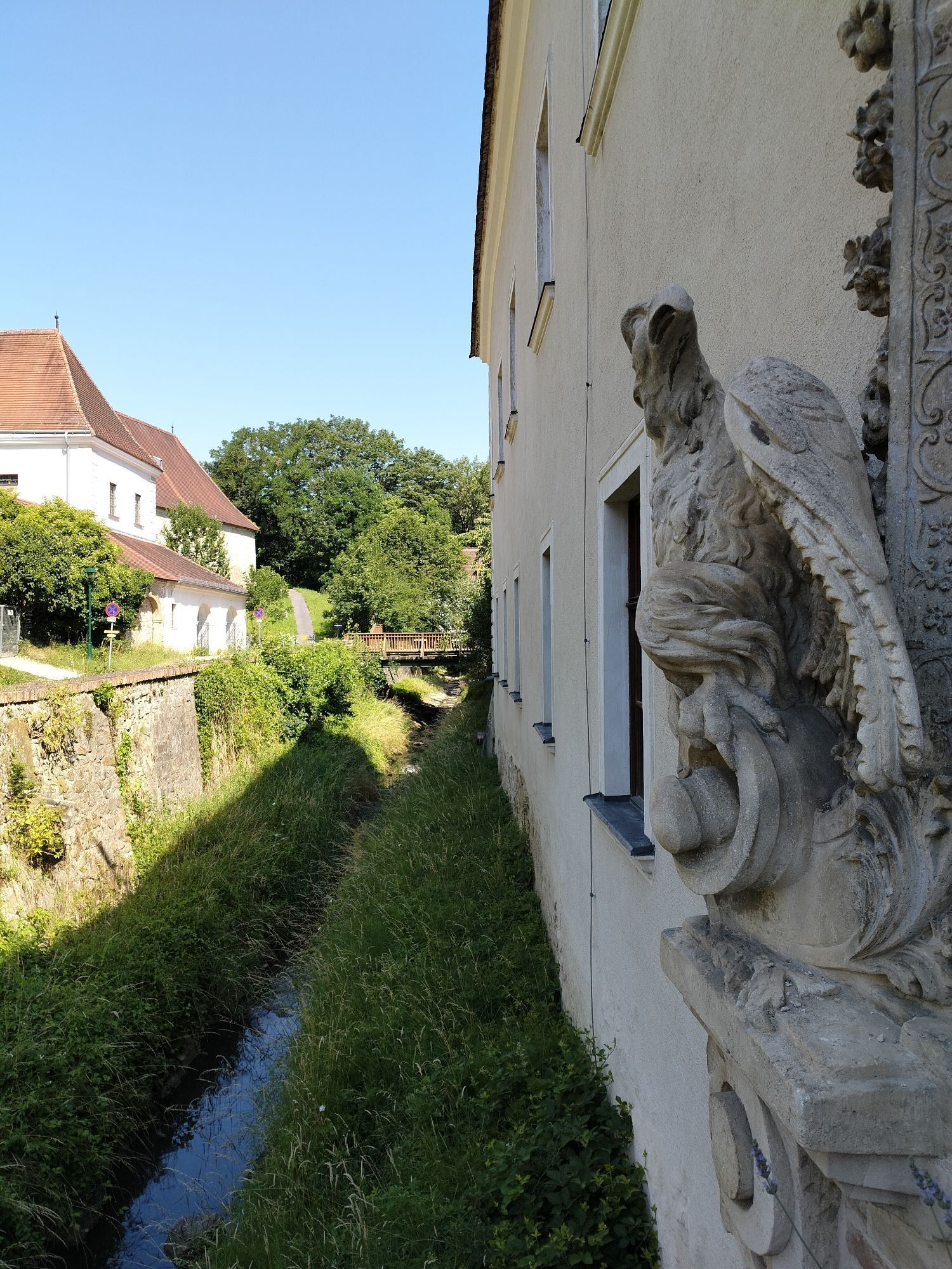
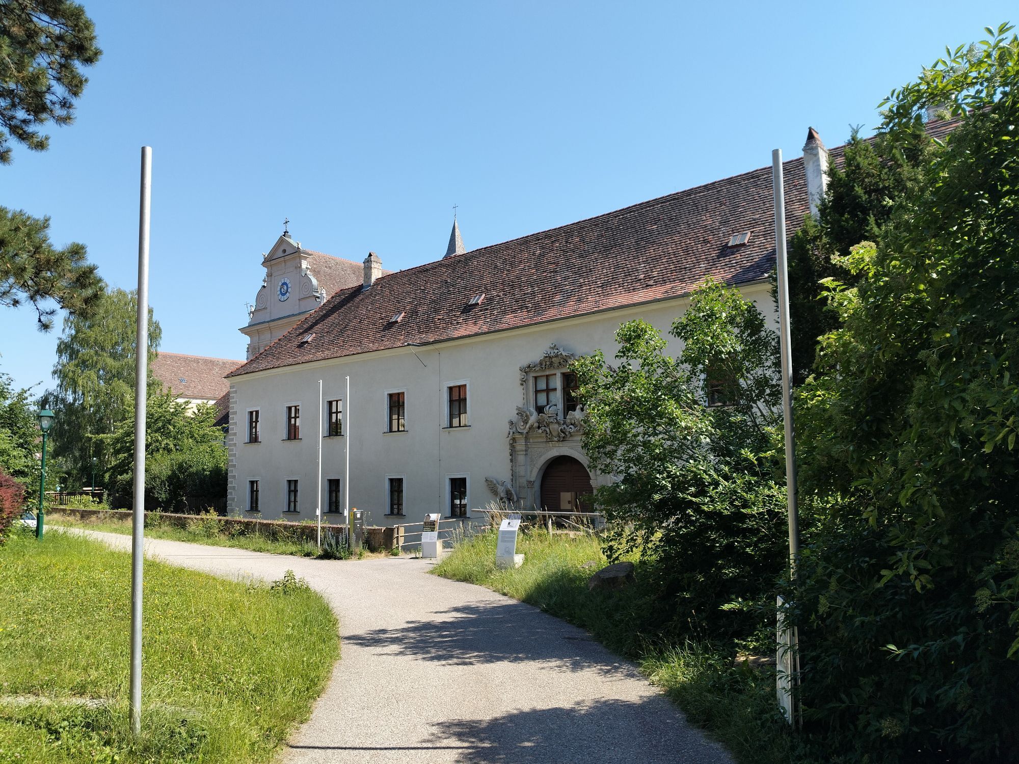
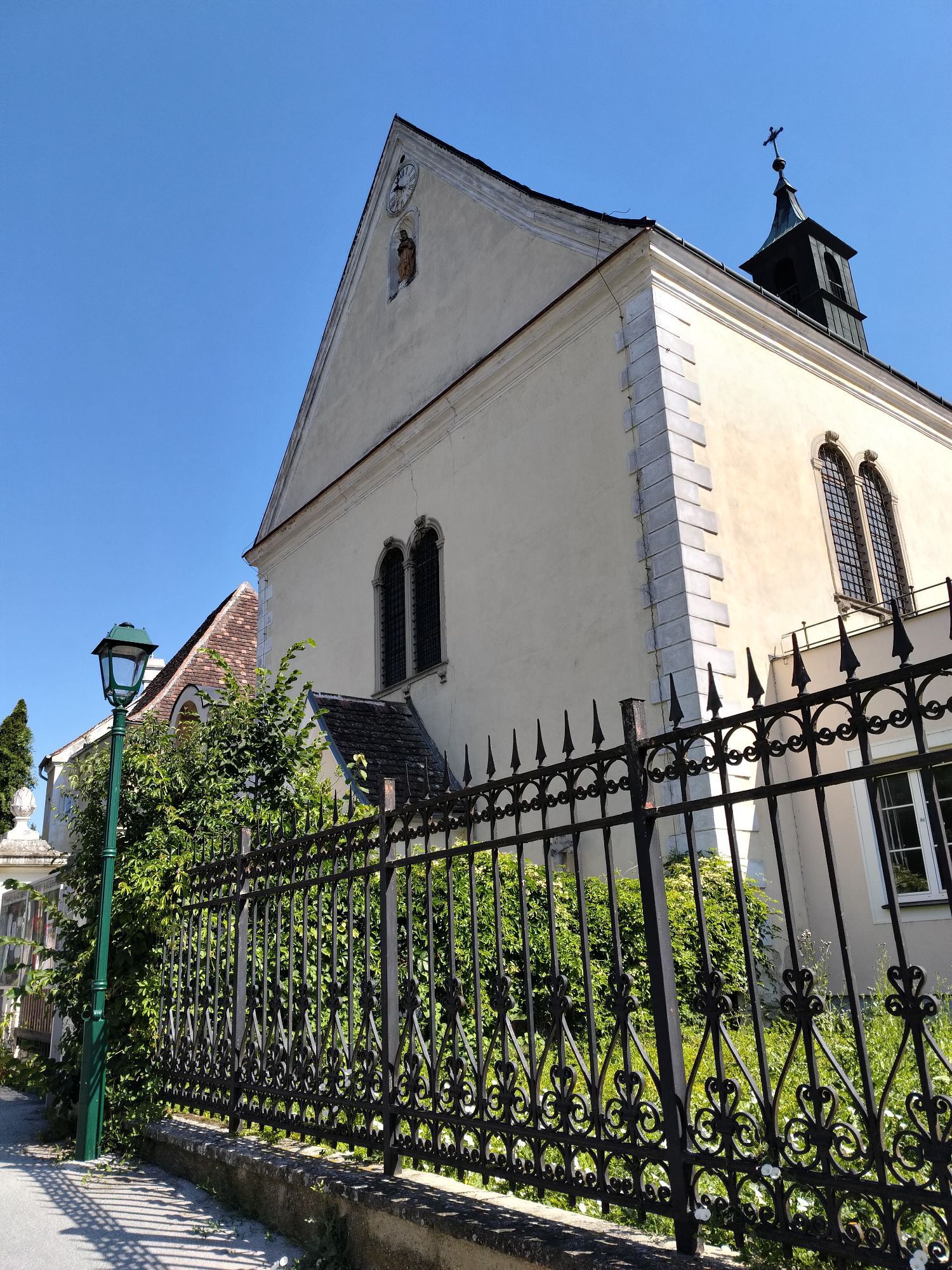
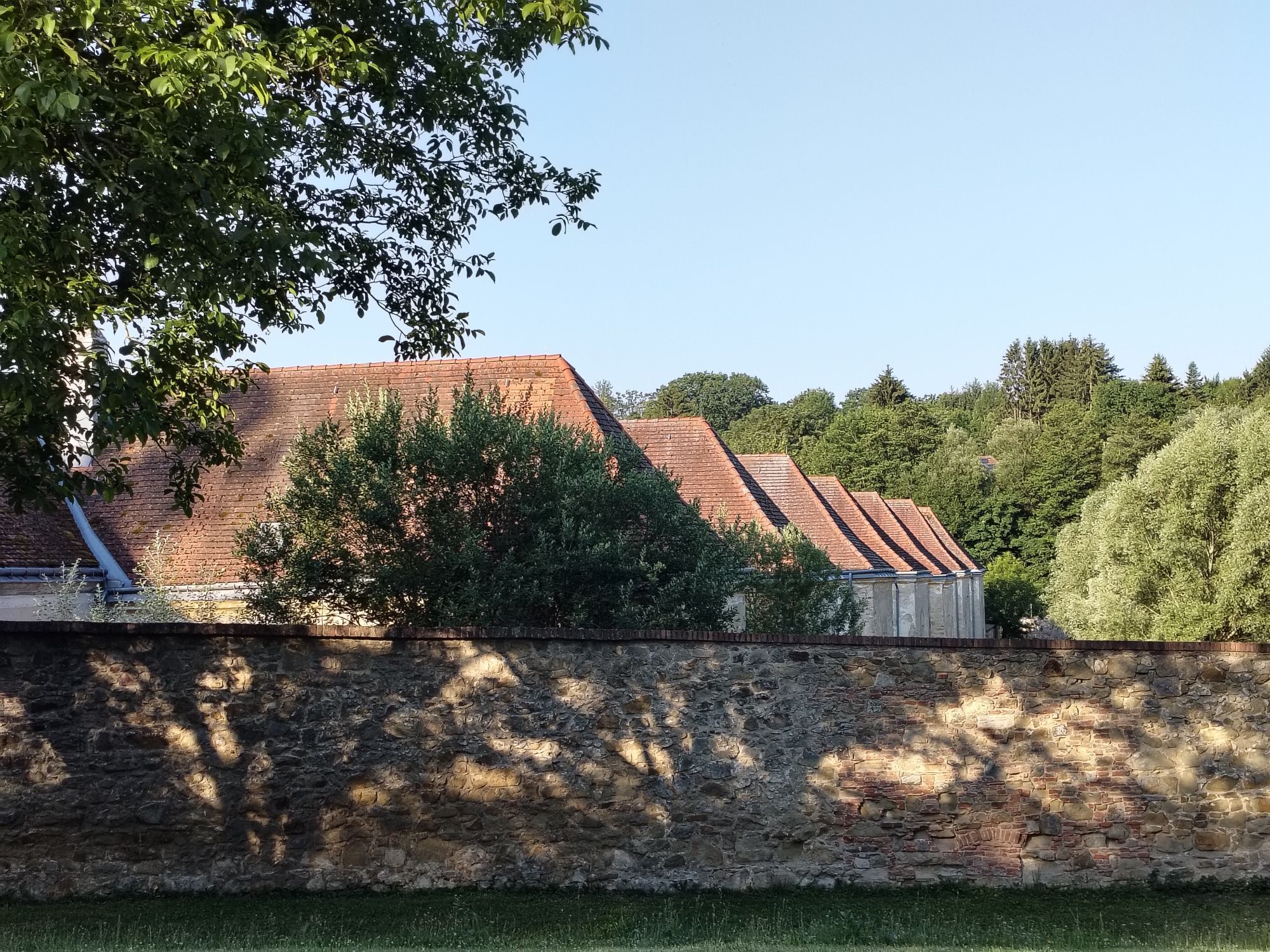
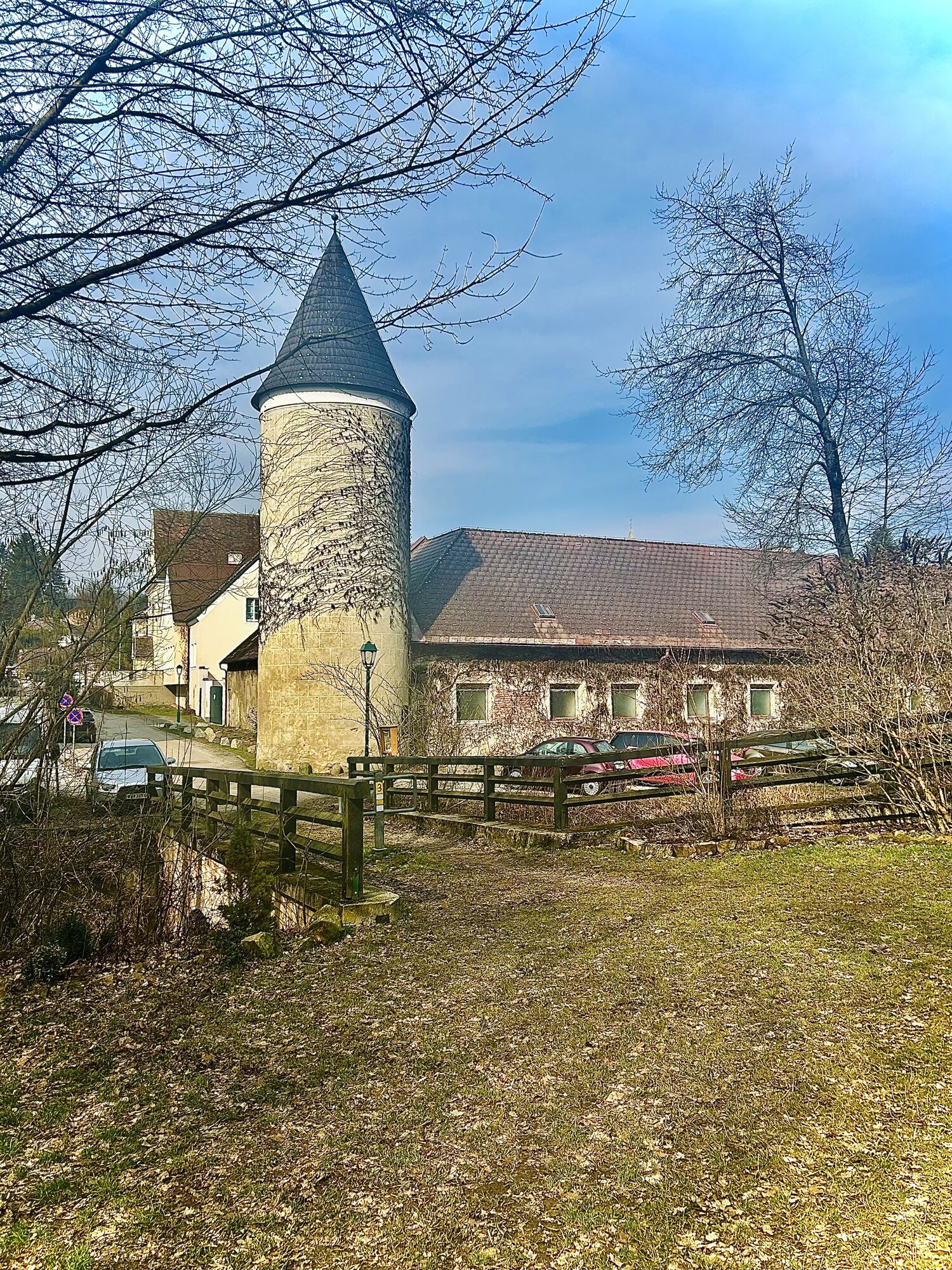
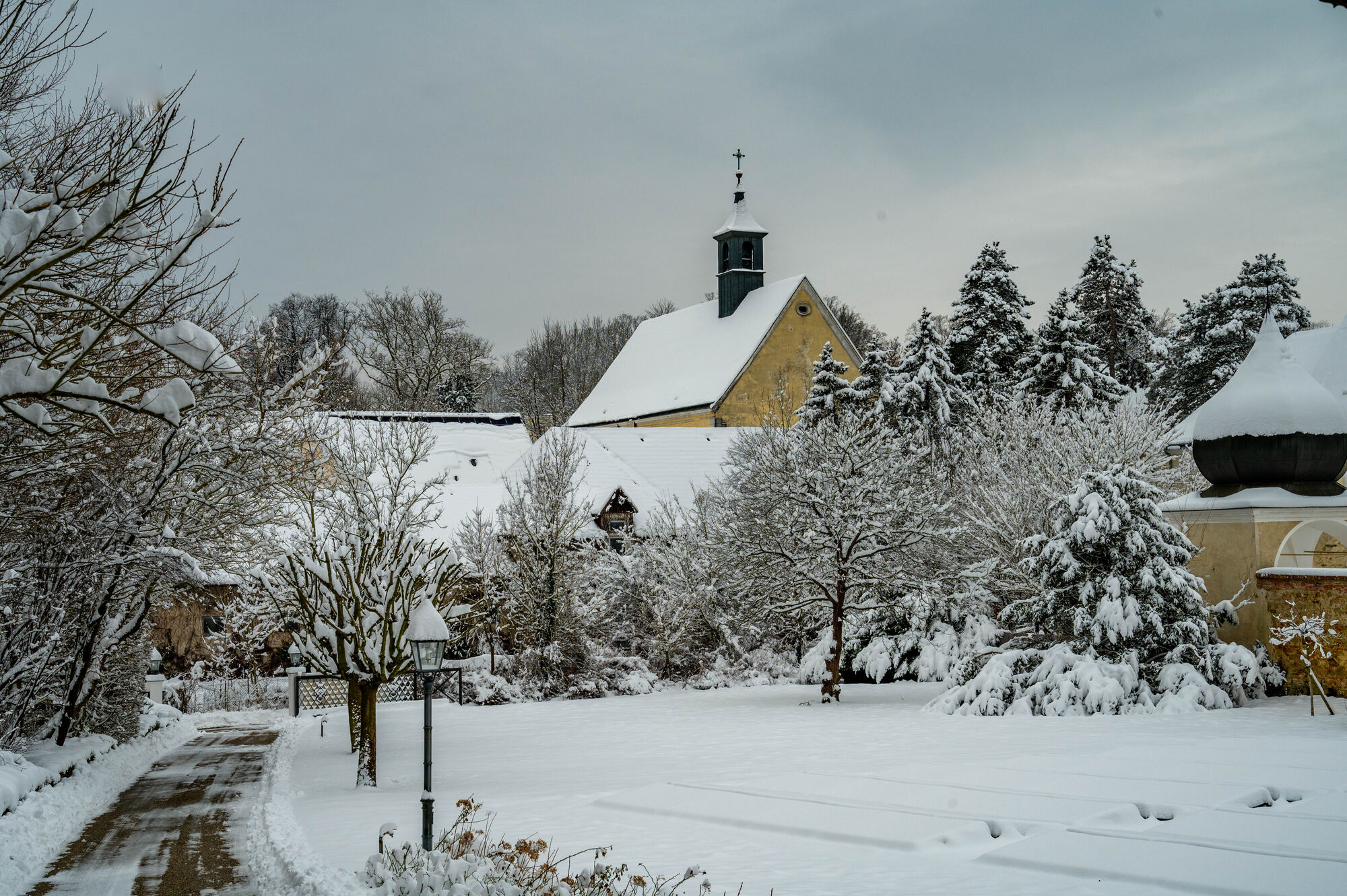
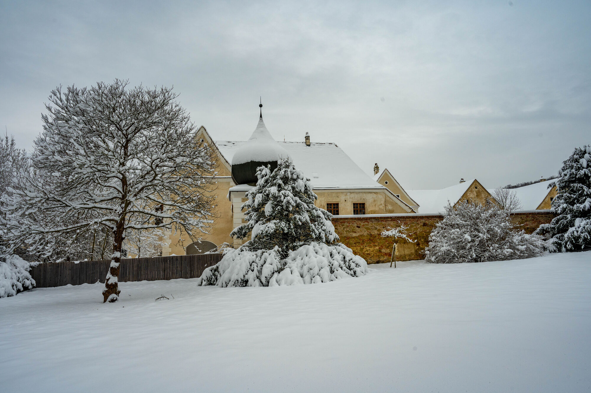
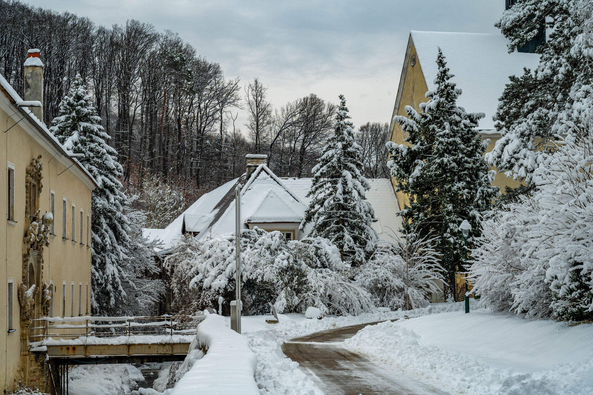
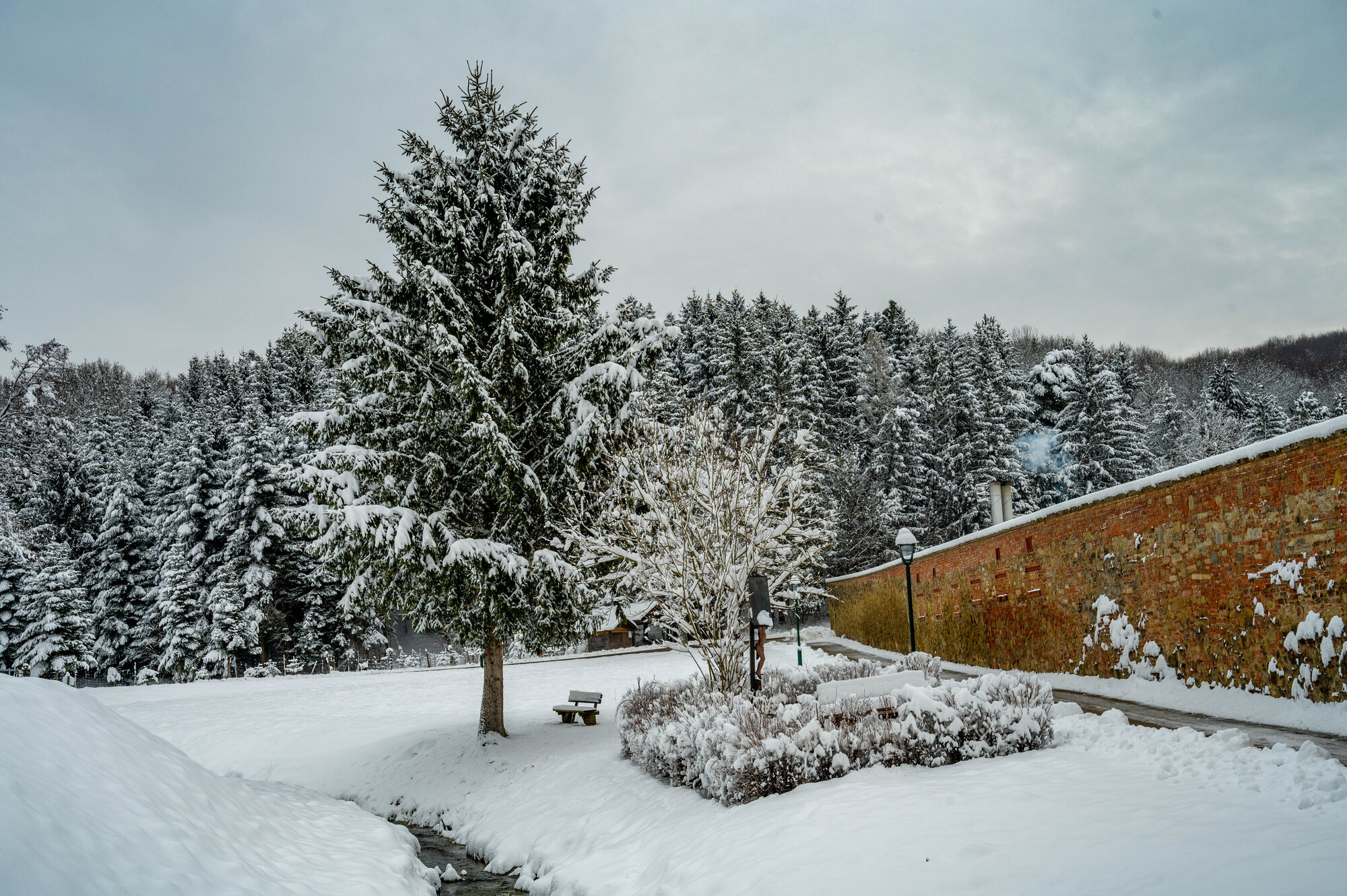
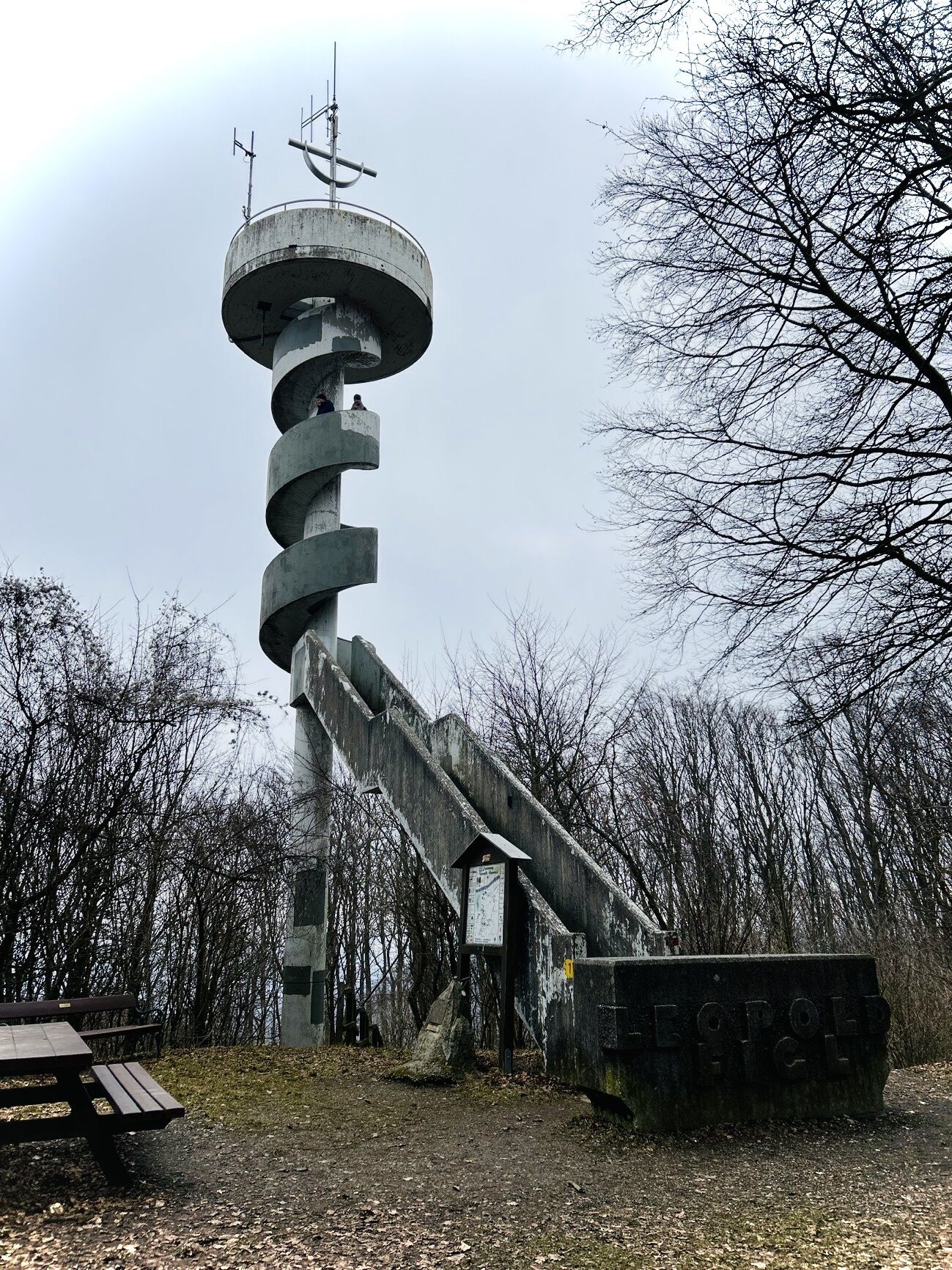
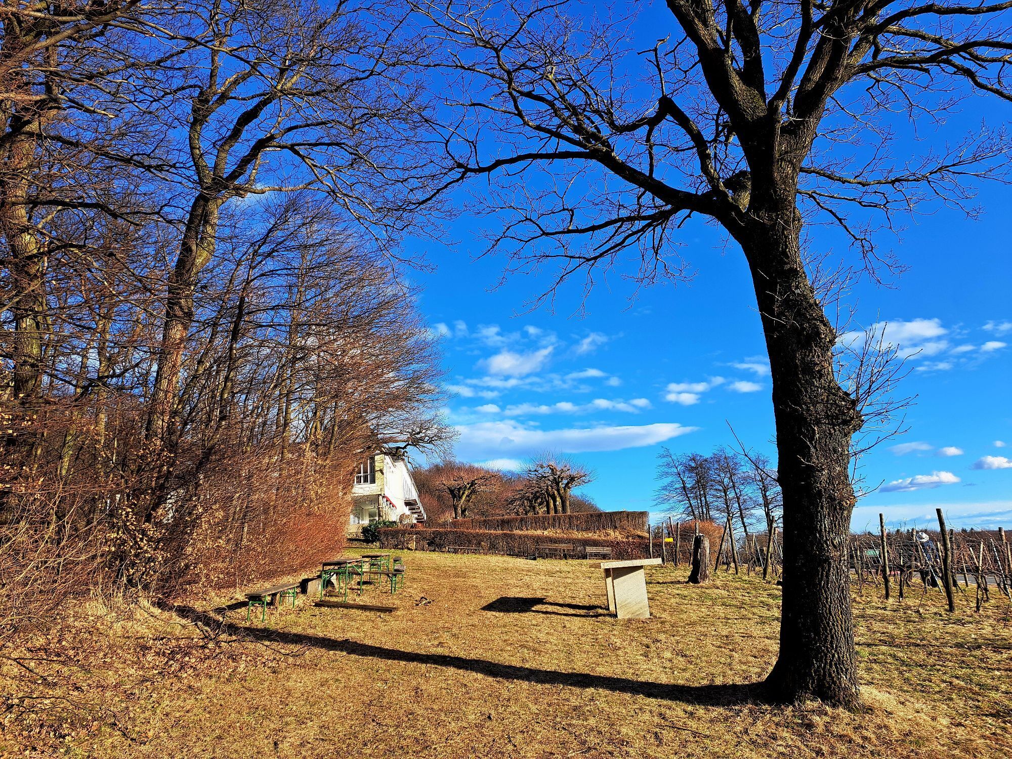
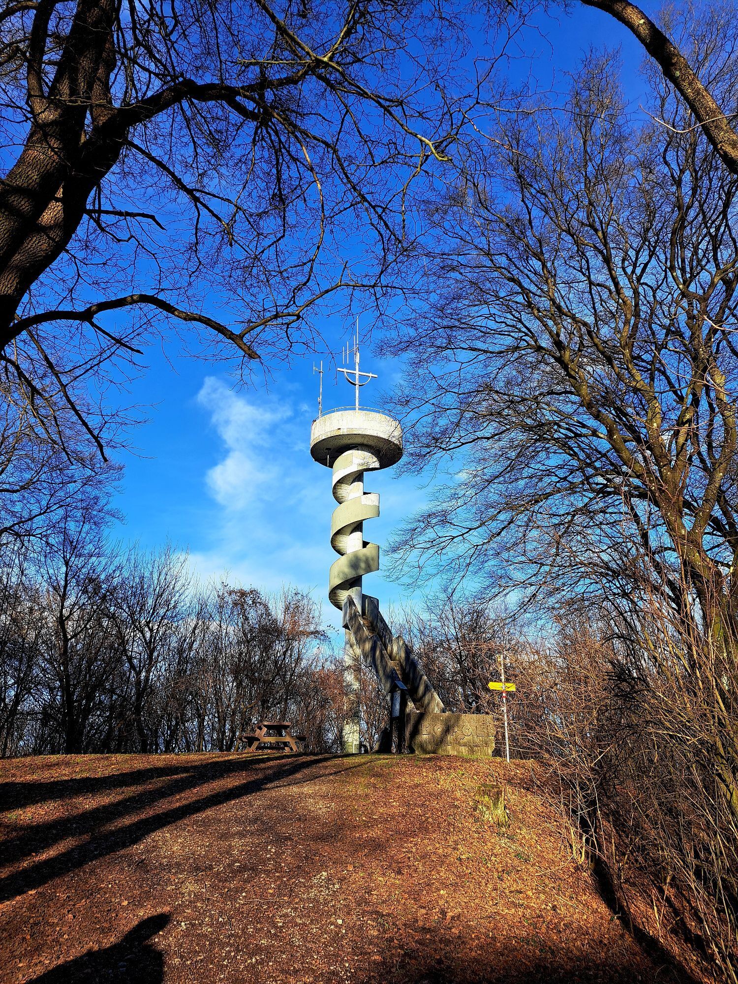
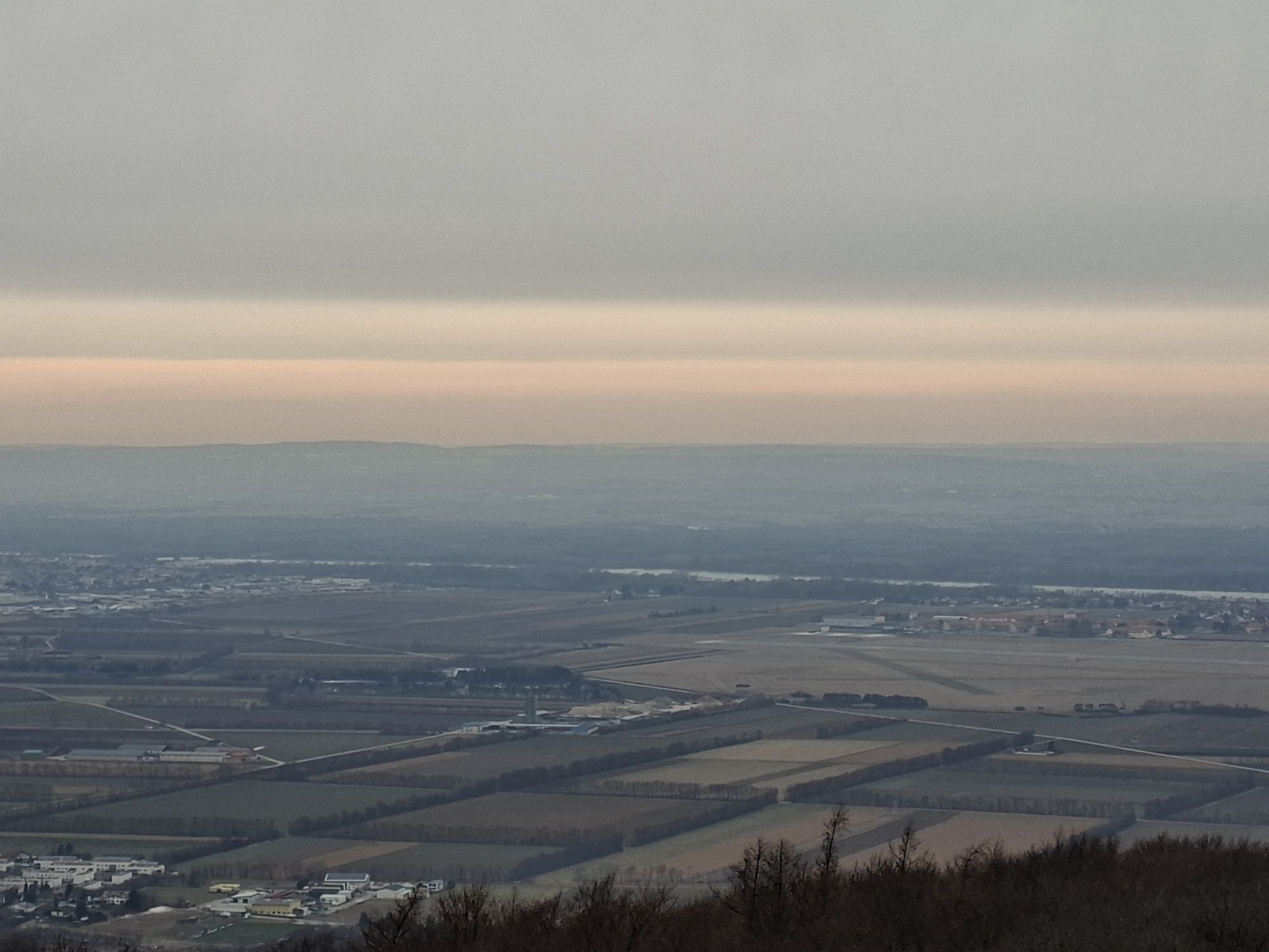
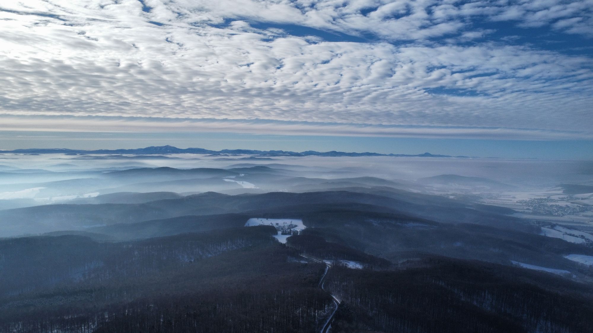
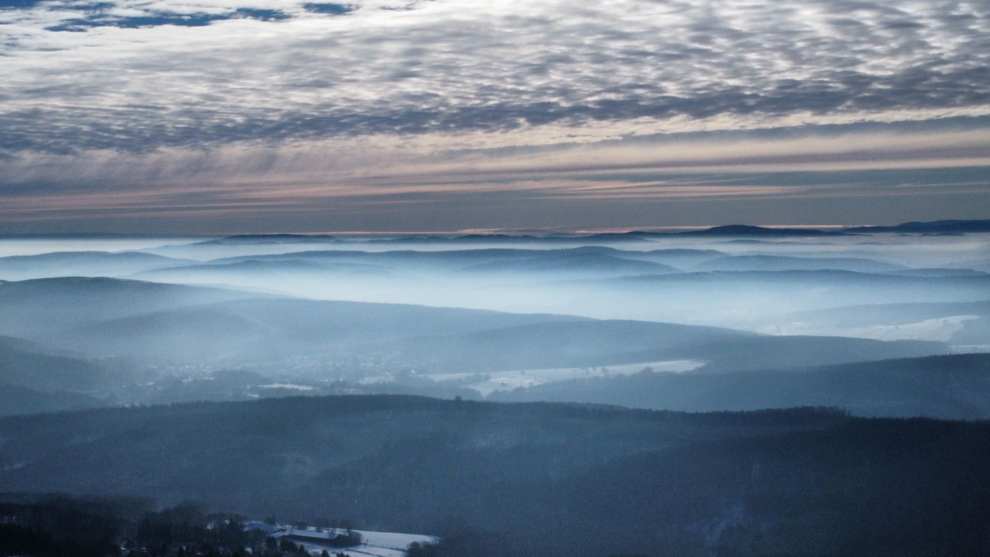
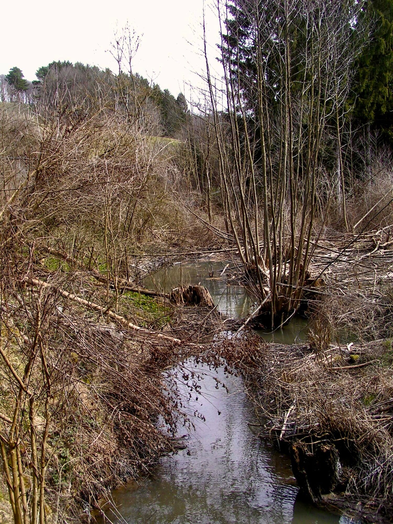
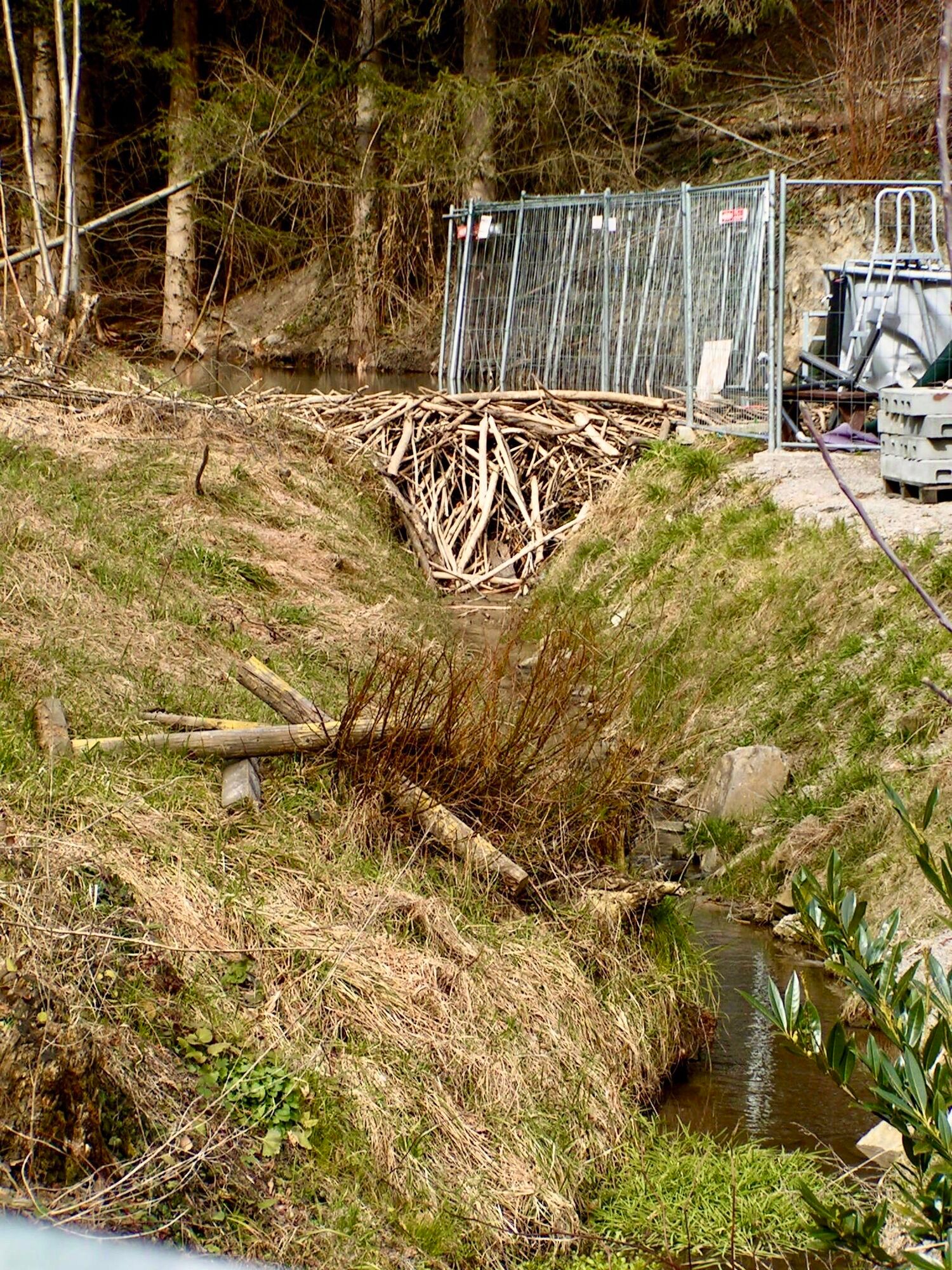
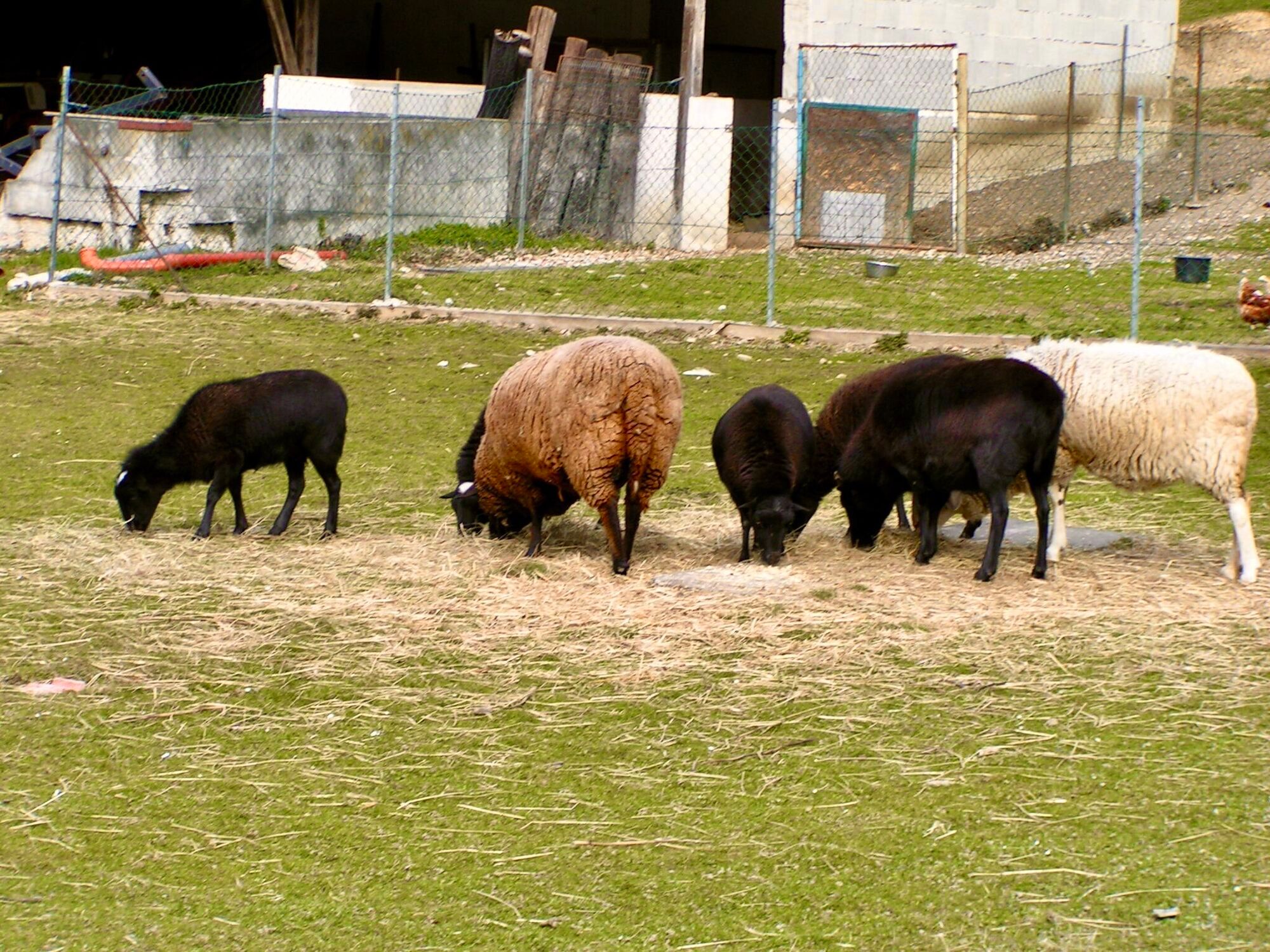
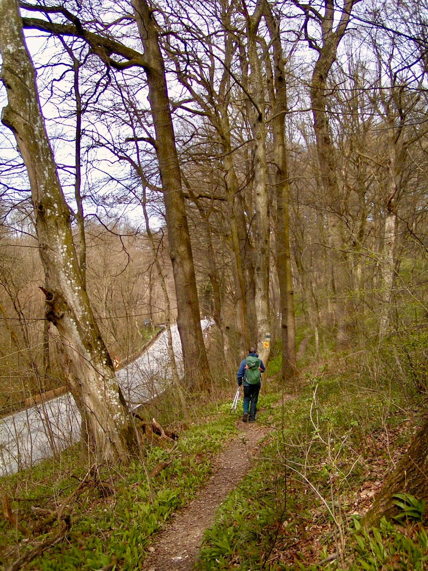
Tip/Funfact: On a tour of the extensive, early Baroque monastery complex of the Mauerbach Charterhouse (Lower Austria Card Partner), you will discover traces of the Carthusian monks who lived in solitude...
Tip/Funfact: On a tour of the extensive, early Baroque monastery complex of the Mauerbach Charterhouse (Lower Austria Card Partner), you will discover traces of the Carthusian monks who lived in solitude and silence in the cell houses.

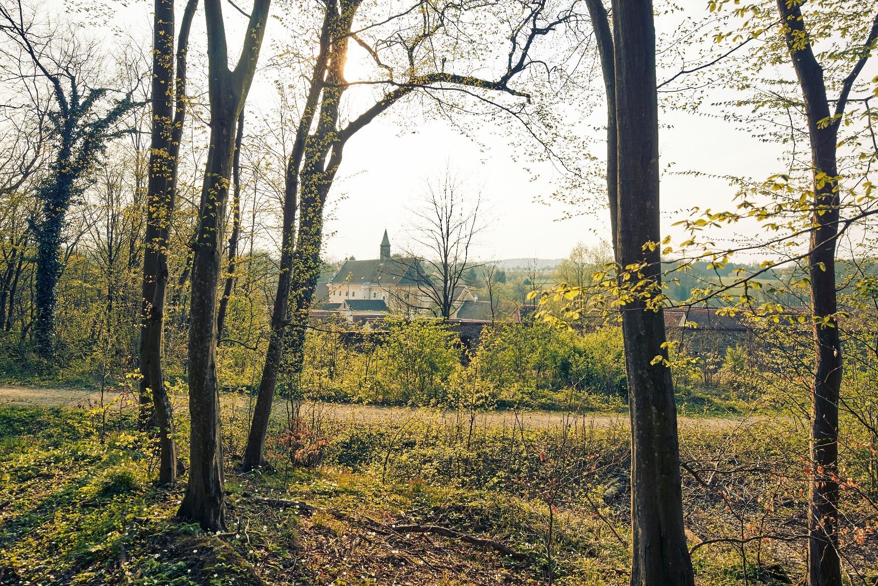

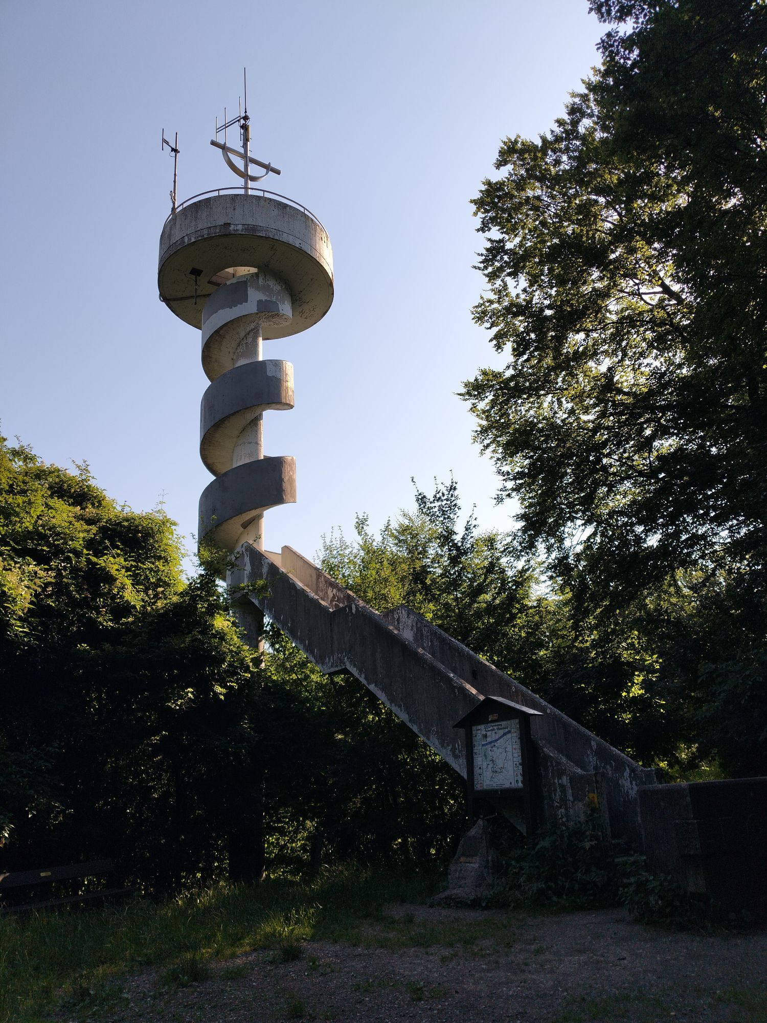
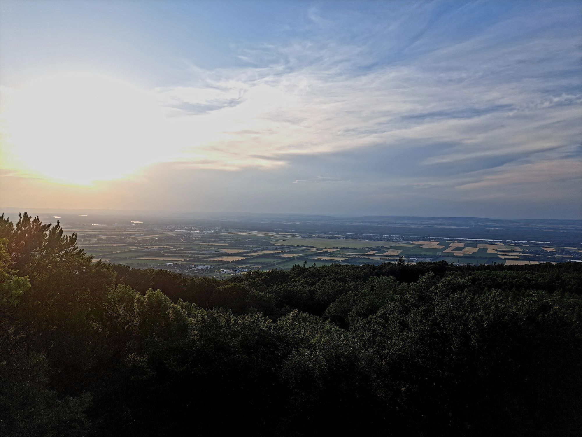
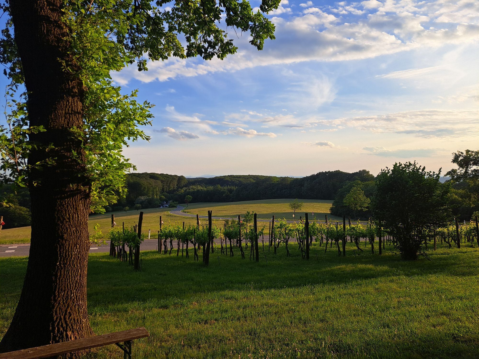
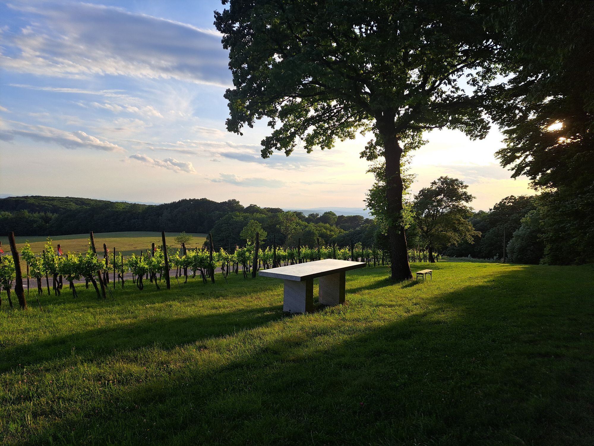
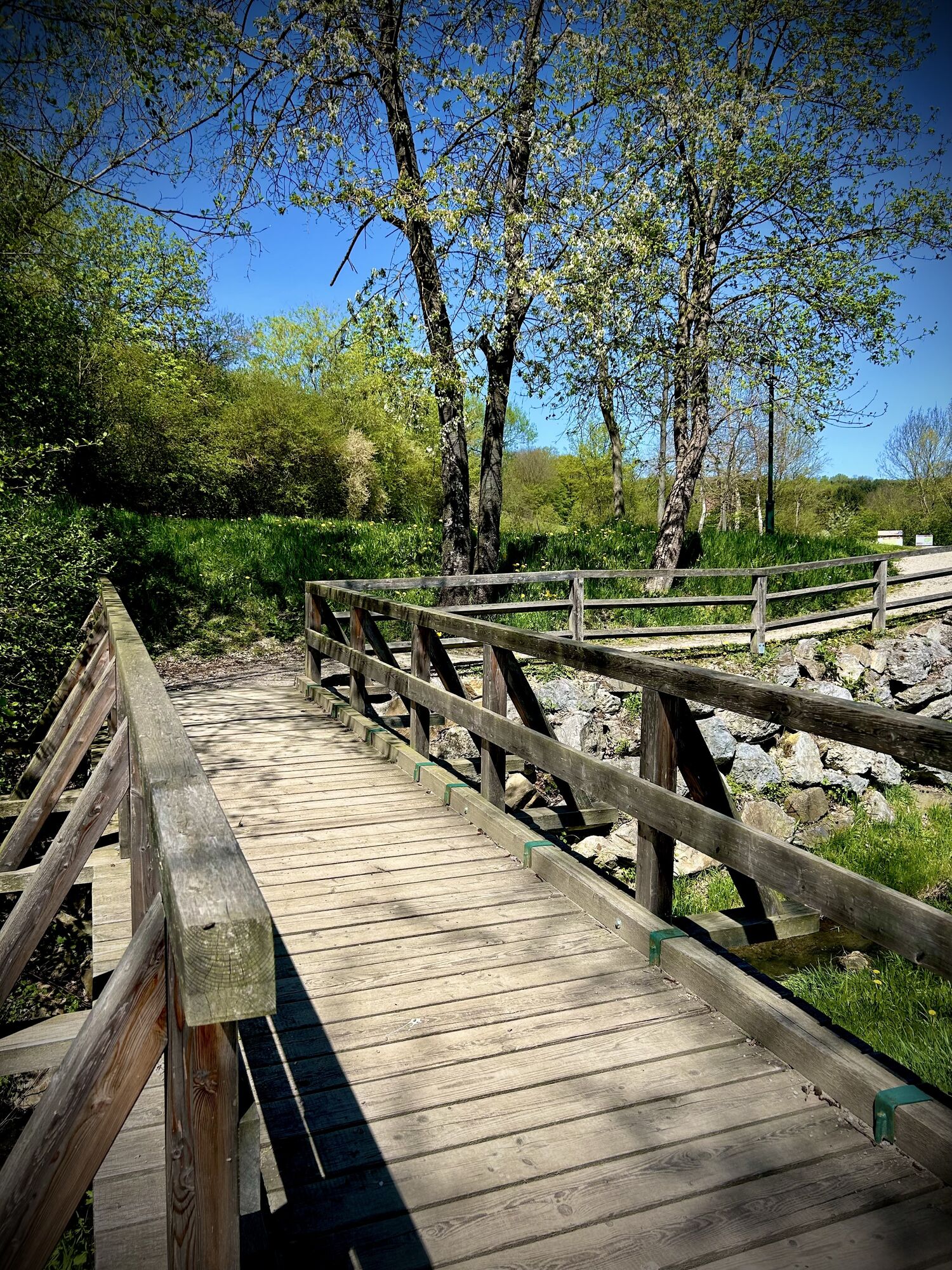
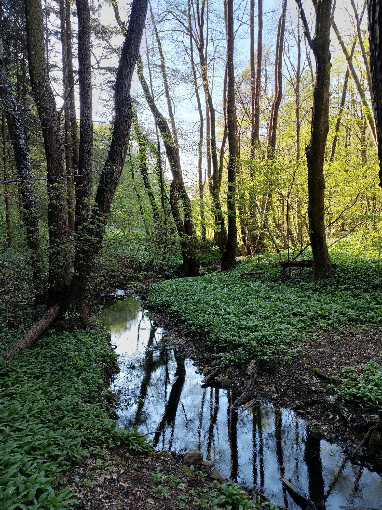
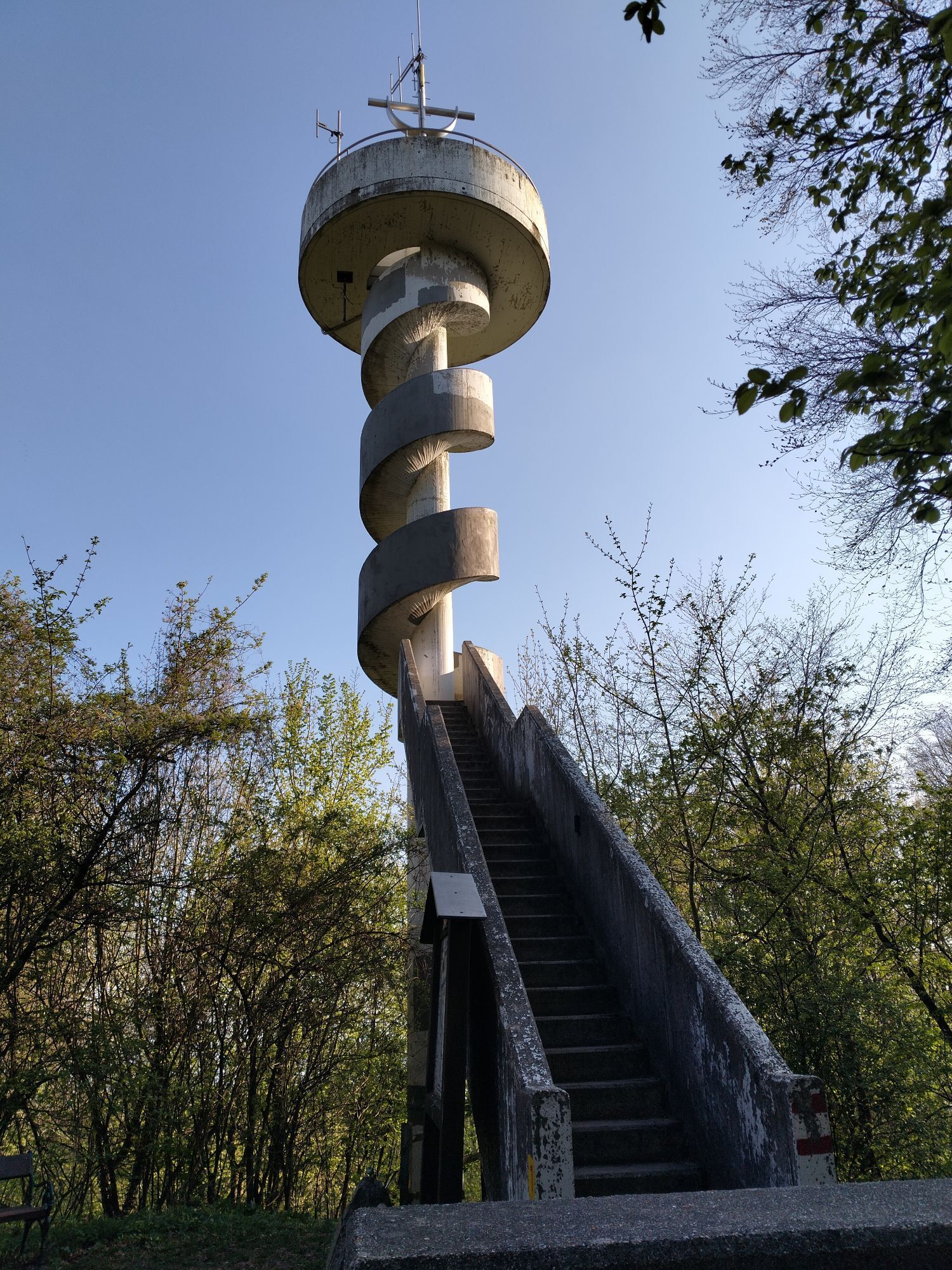
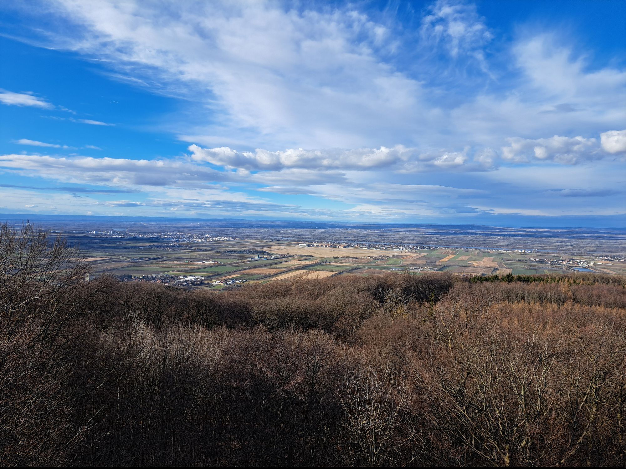
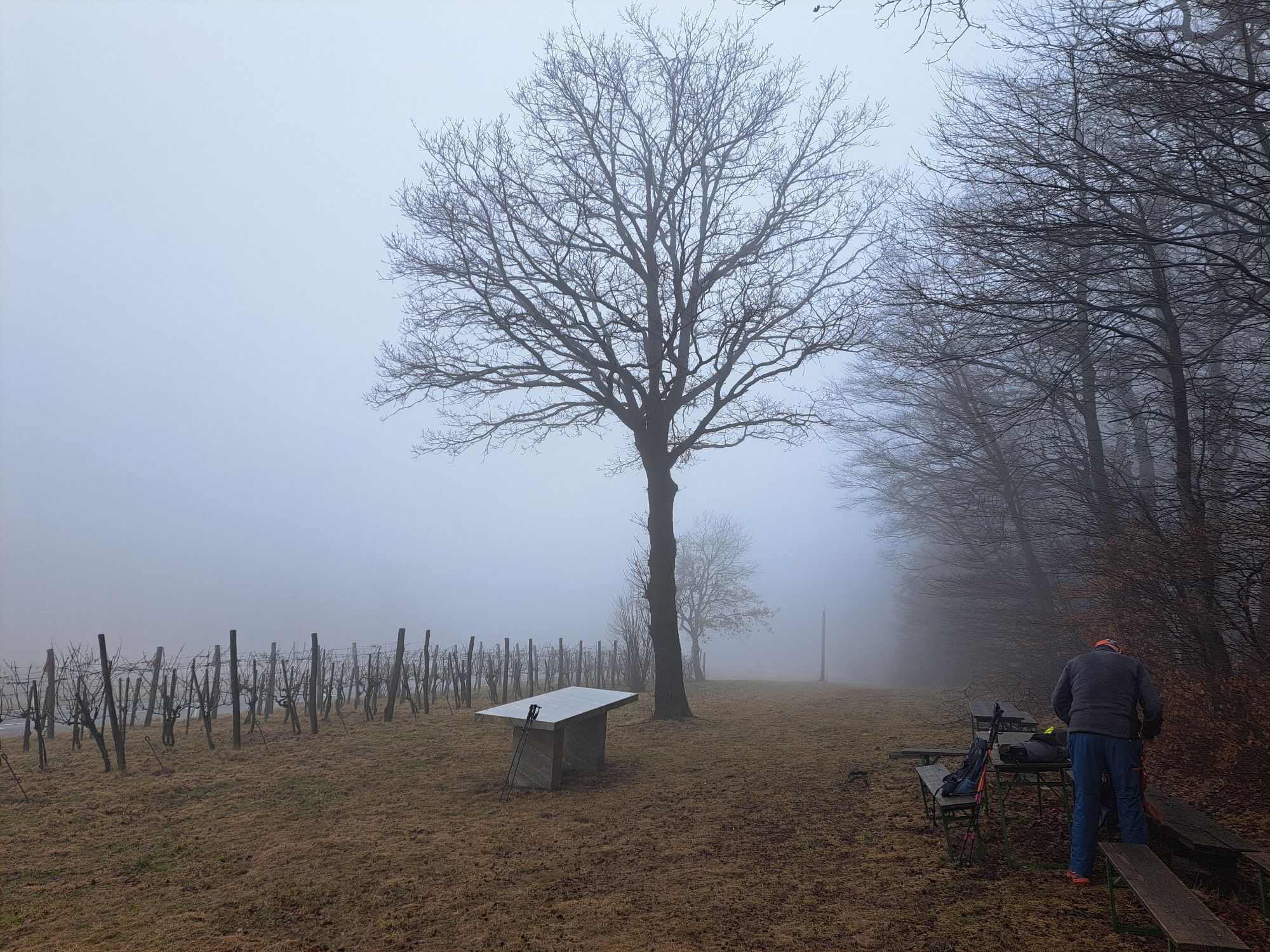
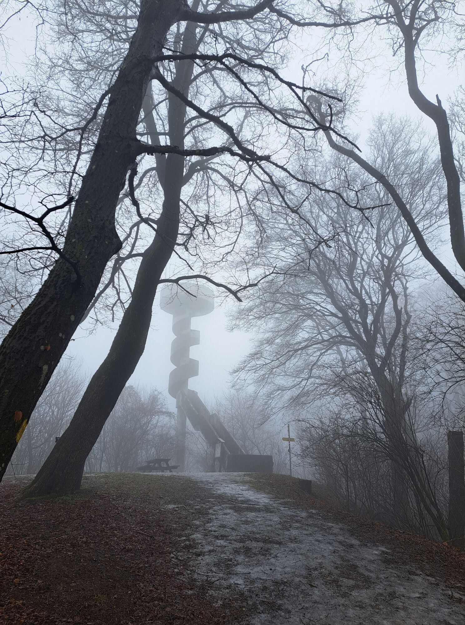
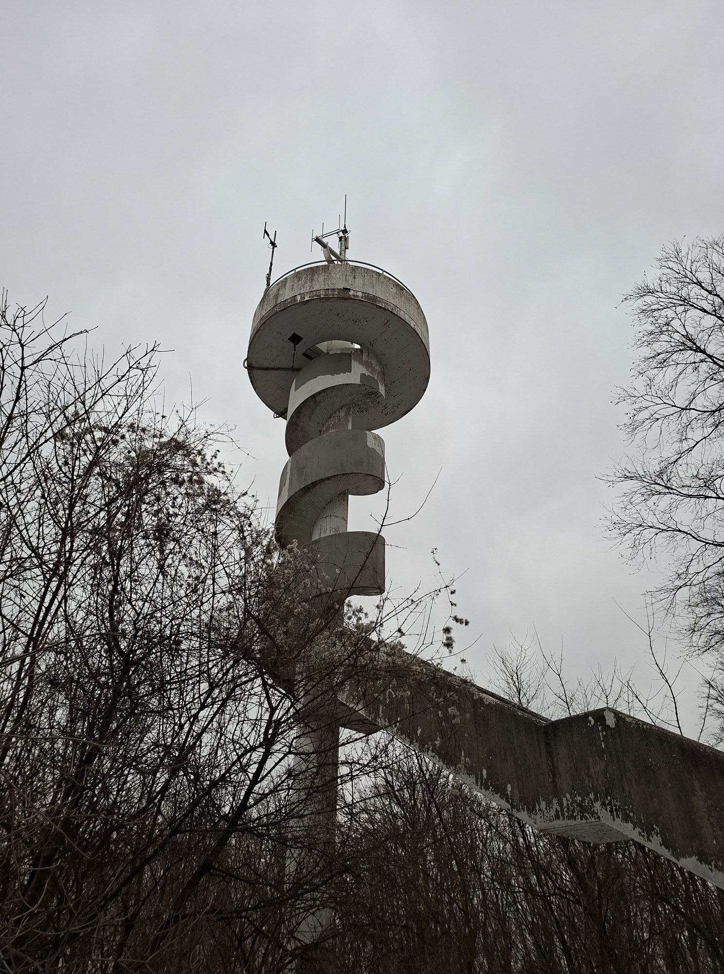
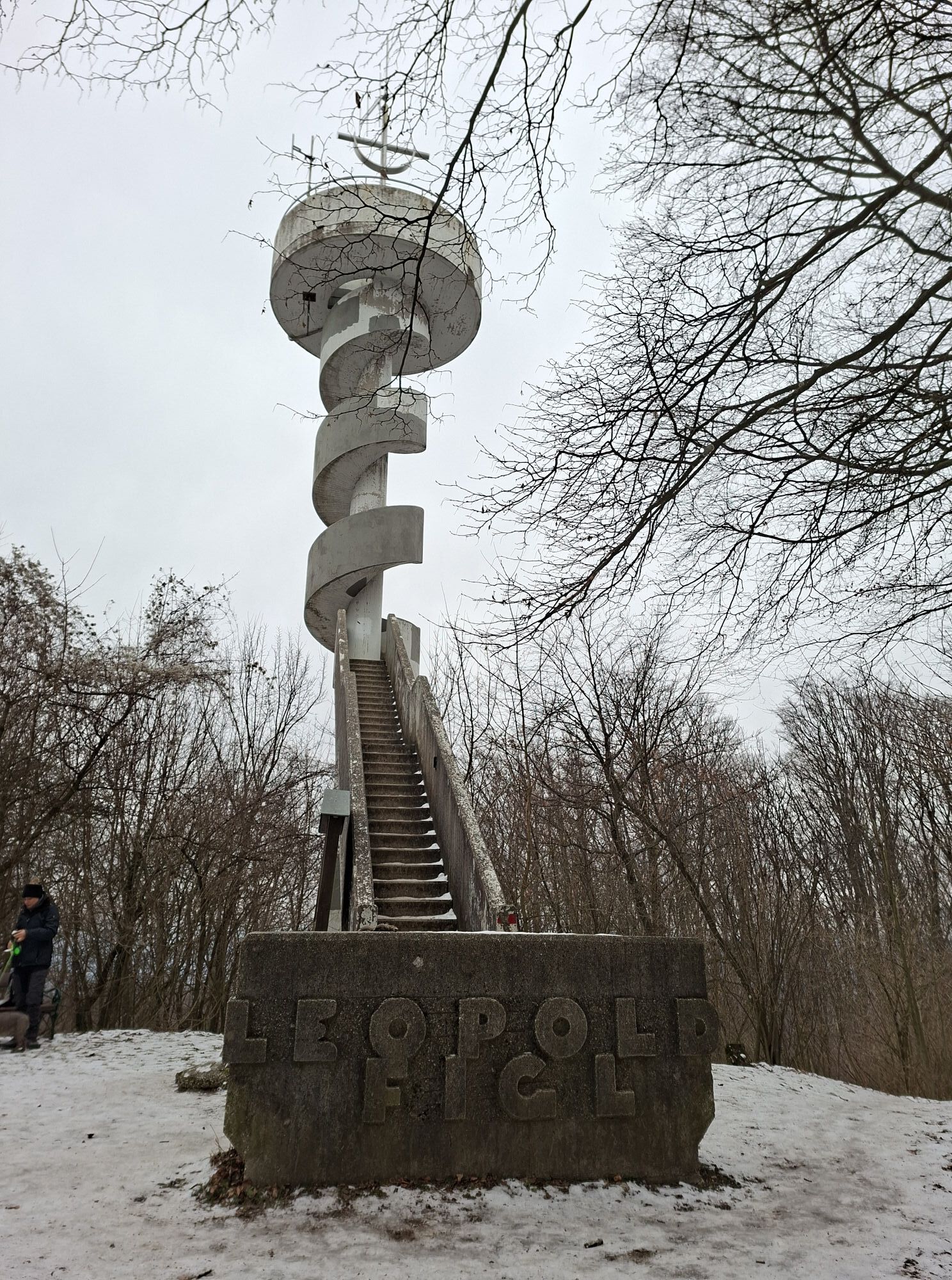
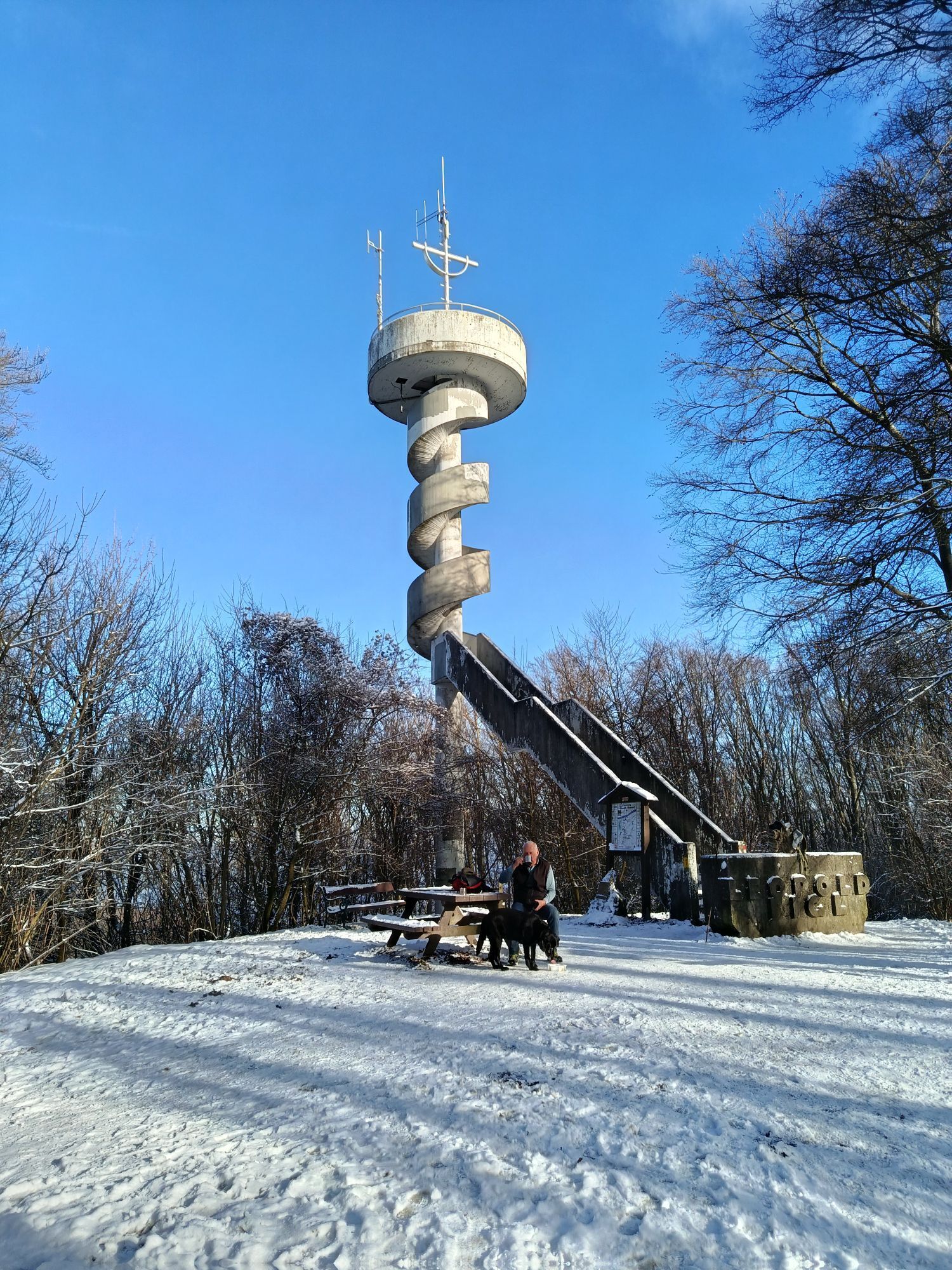
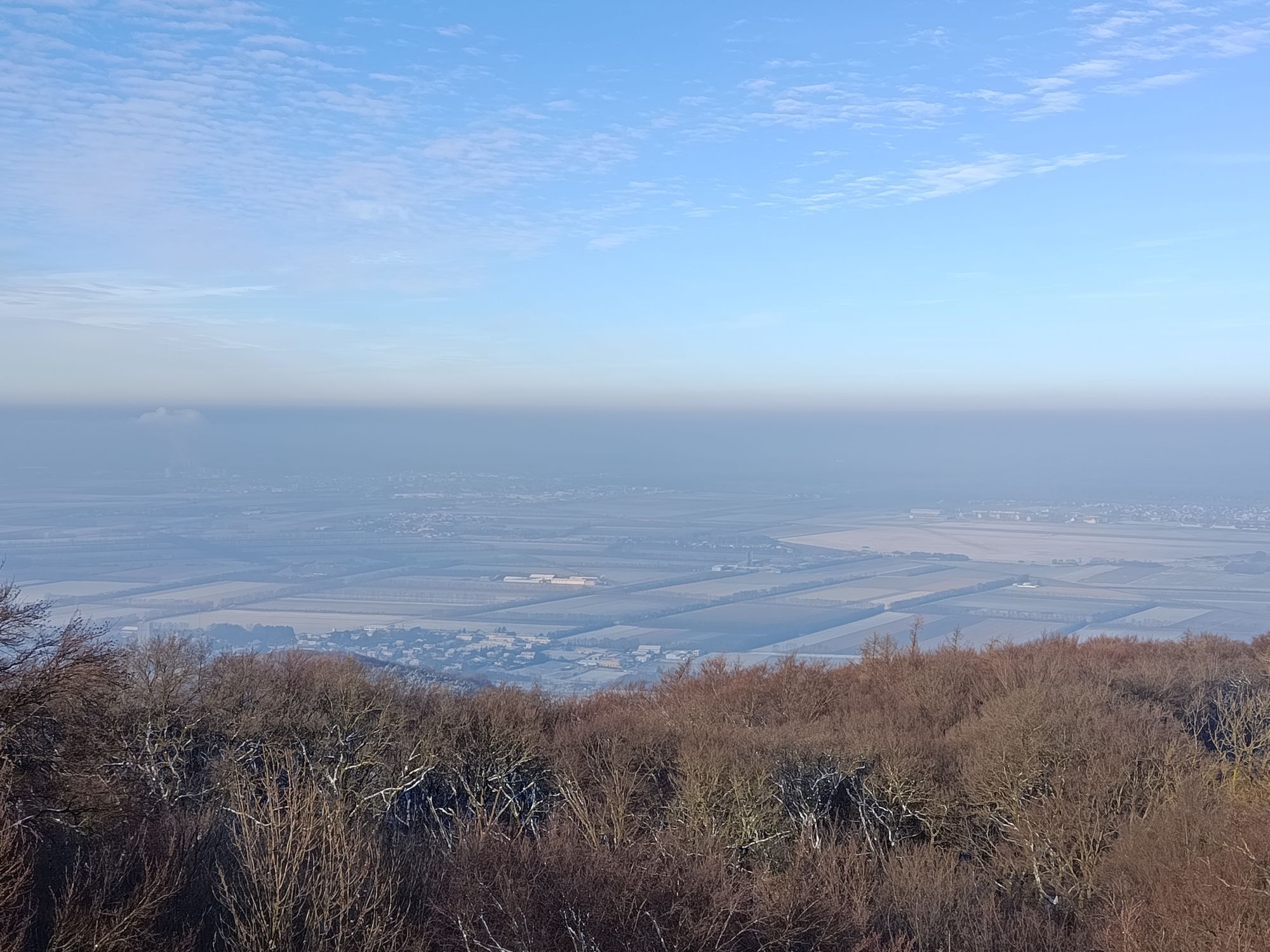
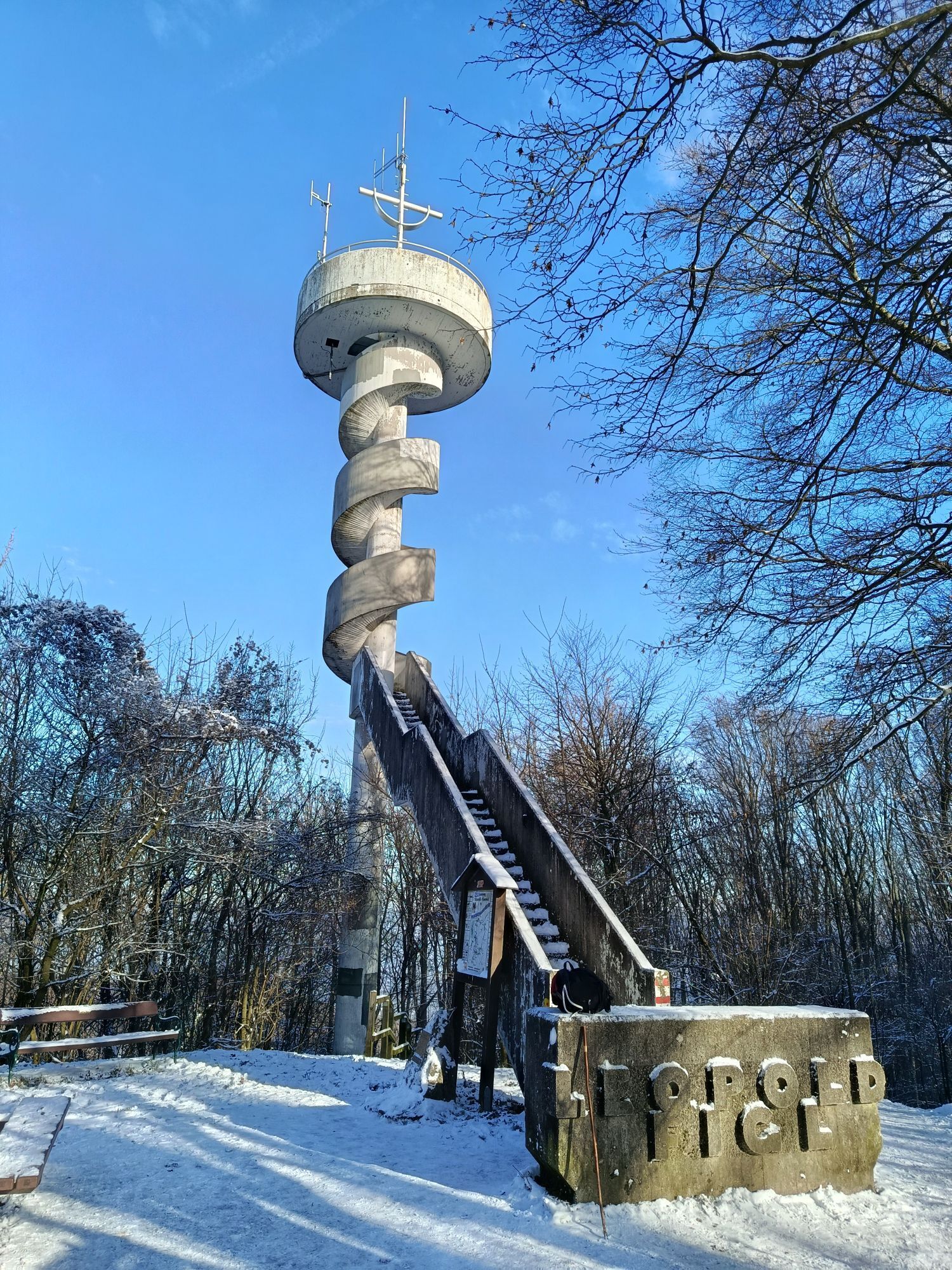
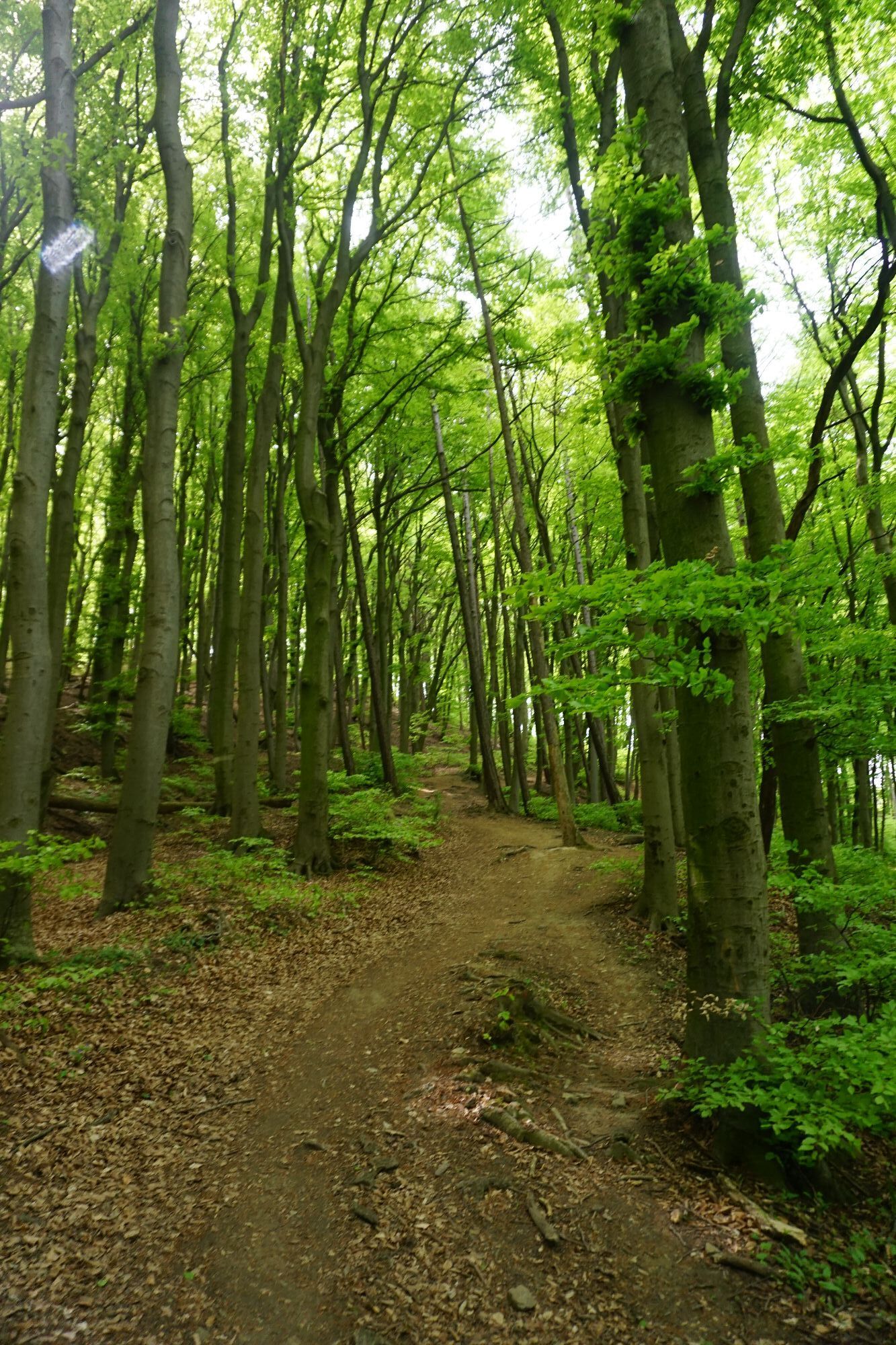
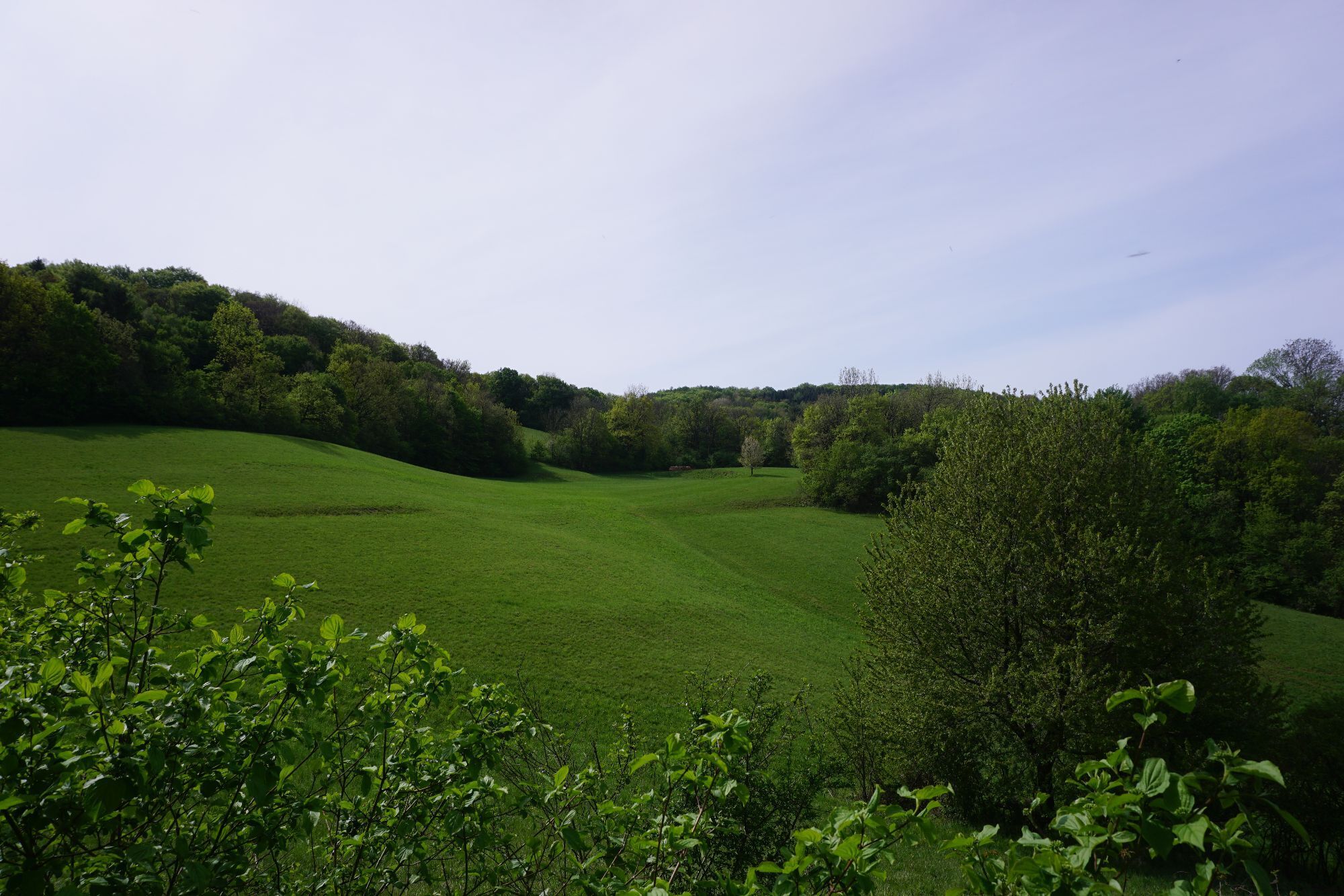
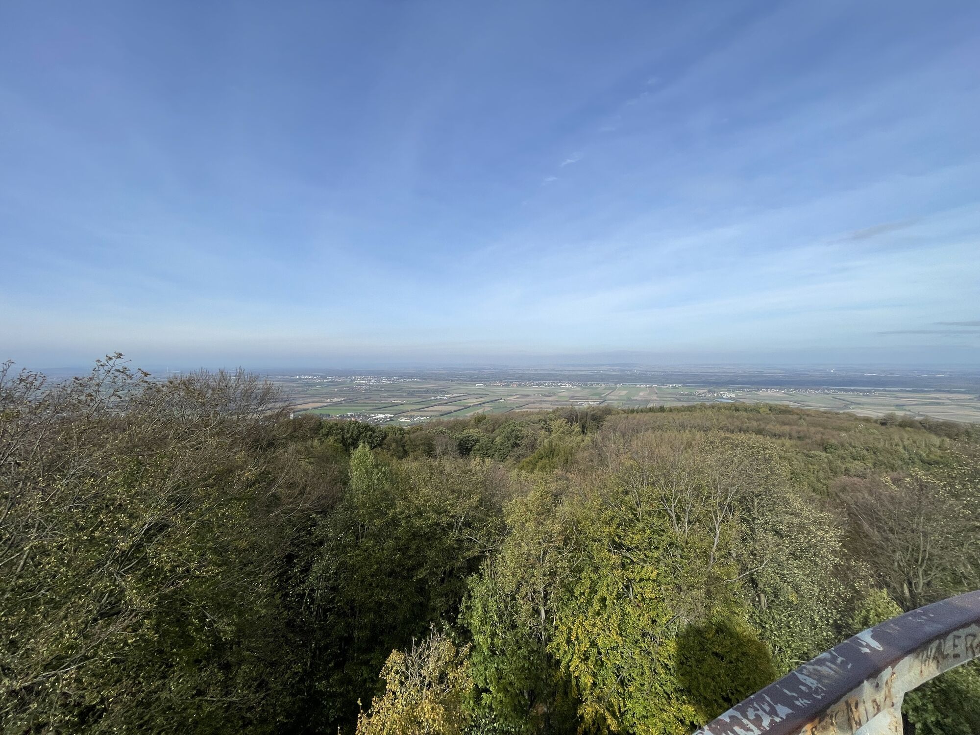
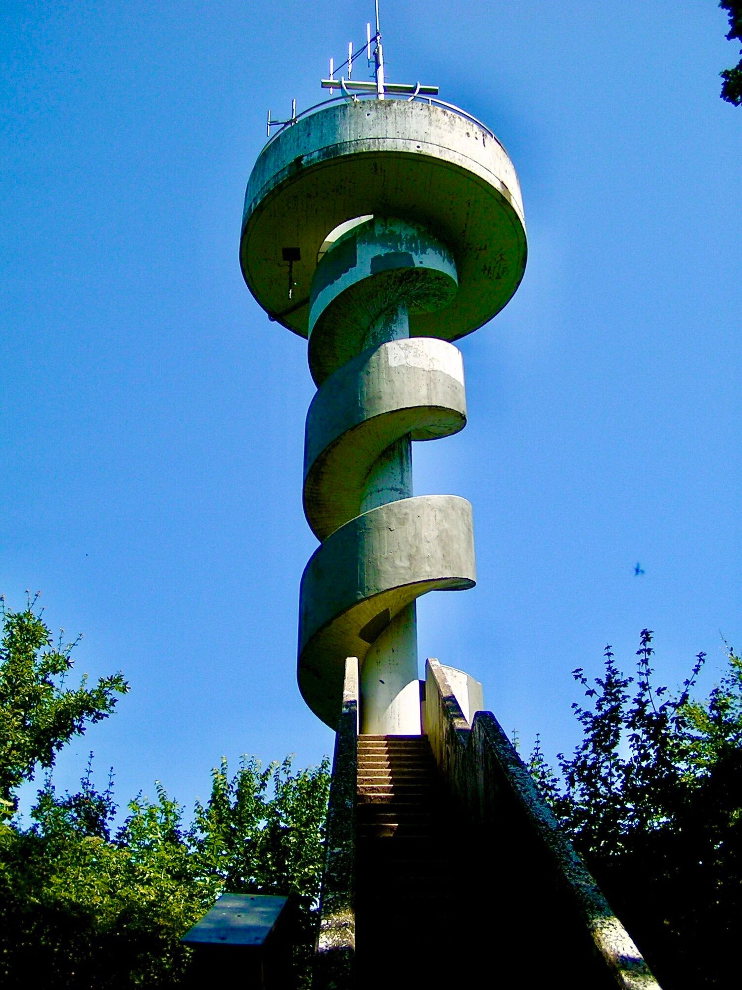
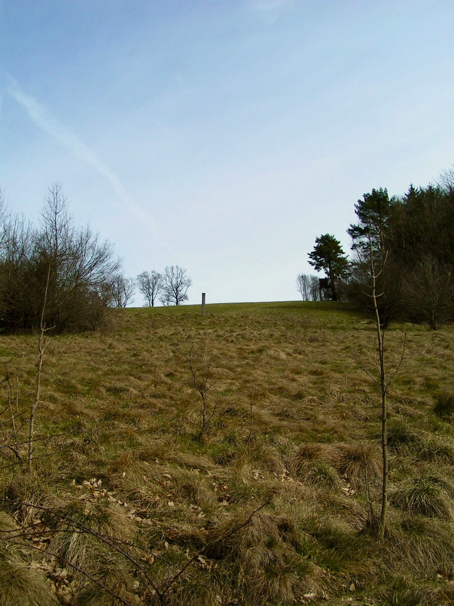
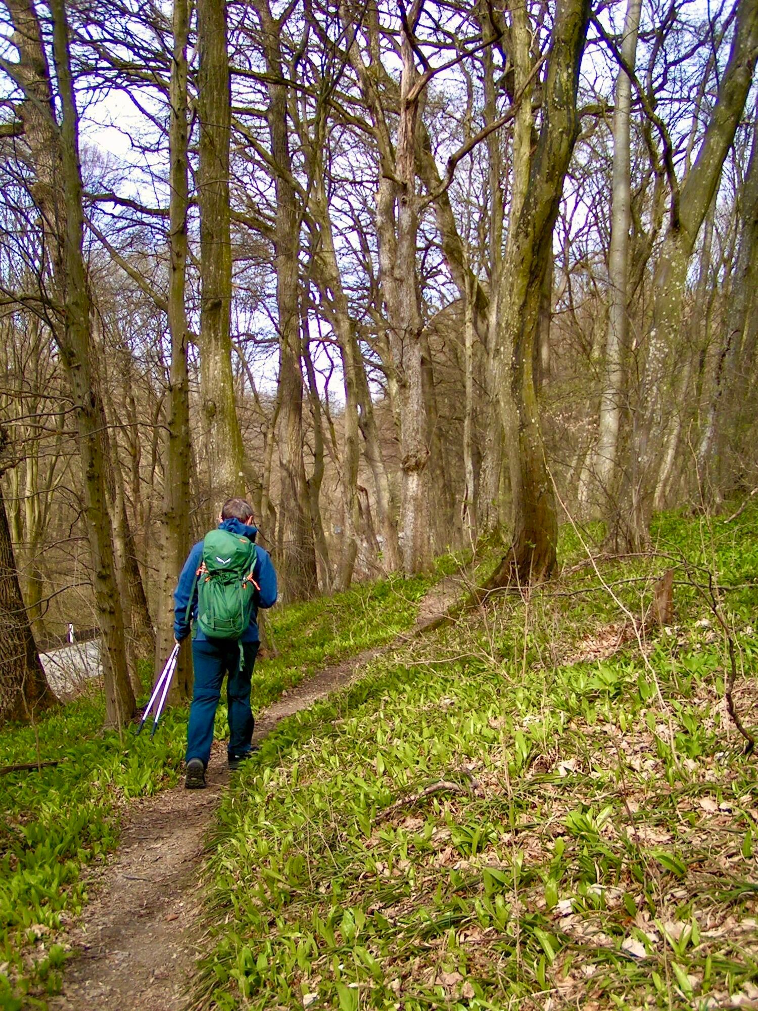
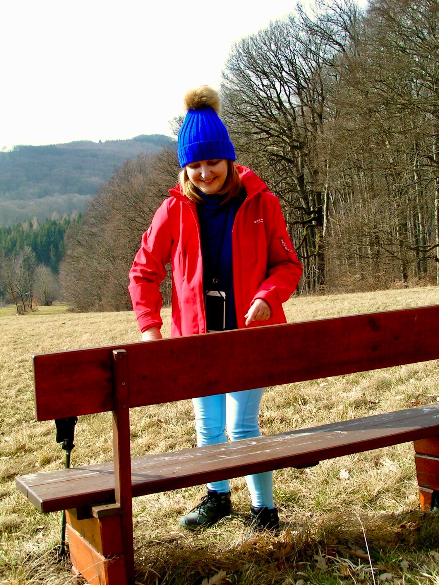
We start at the primary school Mauerbach and turn off into Bäckergasse, where there are already markings at the corner. After a short time, we leave path no. 3 and now follow path no. 14. At the Hirschengarten animal enclosure, we cross the street to stay on hiking trail no. 14 until we encounter markings again that lead us to the right to hiking trail no. 3. We reach a meadow with a bench at its upper end. Behind it, we turn onto forest path no. 15 (left), which leads us to a forest road. From there we continue on path no. 16 (left). Upon reaching the intersection, we take path no. 4 (left), past the Mödihütte and cross the country road to get to path no. 1 (right), which leads us to Tulbinger Kogel. Once there, we keep half right and ascend to the Leopold Figl Lookout. Upon arrival, we follow path no. 18 (right), cross a creek twice and thus reach Groissau, where we switch to path no. 4. After about 600 m, we cross the L121 towards Einsiedelei to reach path no. 21. Following it, we reach the Mauerbach cemetery, from which we return to the starting point at the primary school.
Comfortable and suitable hiking shoes, backpack with weather protection, navigation, first aid kit, water and snacks
It is important to consider your own physical condition when choosing a route. The weather forecast should be checked before starting the route, as the weather in mountainous areas can change quickly. Equipment should be adjusted accordingly. It is also recommended to check in advance whether the gastronomic establishments along the route are open.
Despite the most careful research, there may be unforeseen short-, medium-, or even long-term closures on the routes (e.g., due to forestry closure areas by landowners). Recommended parking options may be private or subject to fees – please pay attention to local signage. Some paths may be partly or entirely on fee-charging enterprises/areas (e.g., nature parks or gorges). This is usually explicitly mentioned in the description. All information is without guarantee, and the use of the paths is at your own risk. Any path closures and notices from hunters and landowners must be observed.
By bus to the stop "Mauerbach primary school"
At the Mauerbach bus station (height Hauptstaße 139)
Wienerwald Tourismus GmbH
Hauptplatz 111, 3002 Purkersdorf
Tel.: 02231/62176
E-Mail: office@wienerwald.info
Website: www.wienerwald.info
The dining options along the route are directly visible on the map.
Popularne wycieczki w okolicy
-
4,9
Stadtwanderweg 1
światłoWędrówka 11,1 km -
4,9
Stadtwanderweg #2, Hermannskogel, Top of Vienna 😆
światłoWędrówka 11,1 km -
4,7
Königstetten-Figlwarte-Hainbuch-Königstetten
średniWędrówka 9,30 km -
4,7
Nasenweg Leopoldsberg Rundweg
średniWędrówka 4,08 km -
4,6
Stadtwanderweg 4
światłoWędrówka 8,48 km -
4,6
Rundwanderung Gablitz Gemeindeamt - Troppberg - Rabenstein - Gablitz Gemeindeamt
światłoWędrówka 12 km -
4,5
Stadtwanderweg 3, Hameau (lt. Beschilderung)
światłoWędrówka 9,78 km -
4,6
Vienna's highest peaks: Leopoldsberg, Kahlenberg and Hermannskogel
światłoWędrówka 13,6 km -
4,2
Stadtwanderweg 8 - Sophienalpe (lt. Beschilderung)
światłoWędrówka 9,31 km -
4,5
von Purkersdorf zur Rudolfshöhe
światłoWędrówka 4,72 km
Wędrówki i tropienie


Nie przegap ofert i inspiracji na następne wakacje
Twój adres e-mail została dodana do listy mailingowej.





