


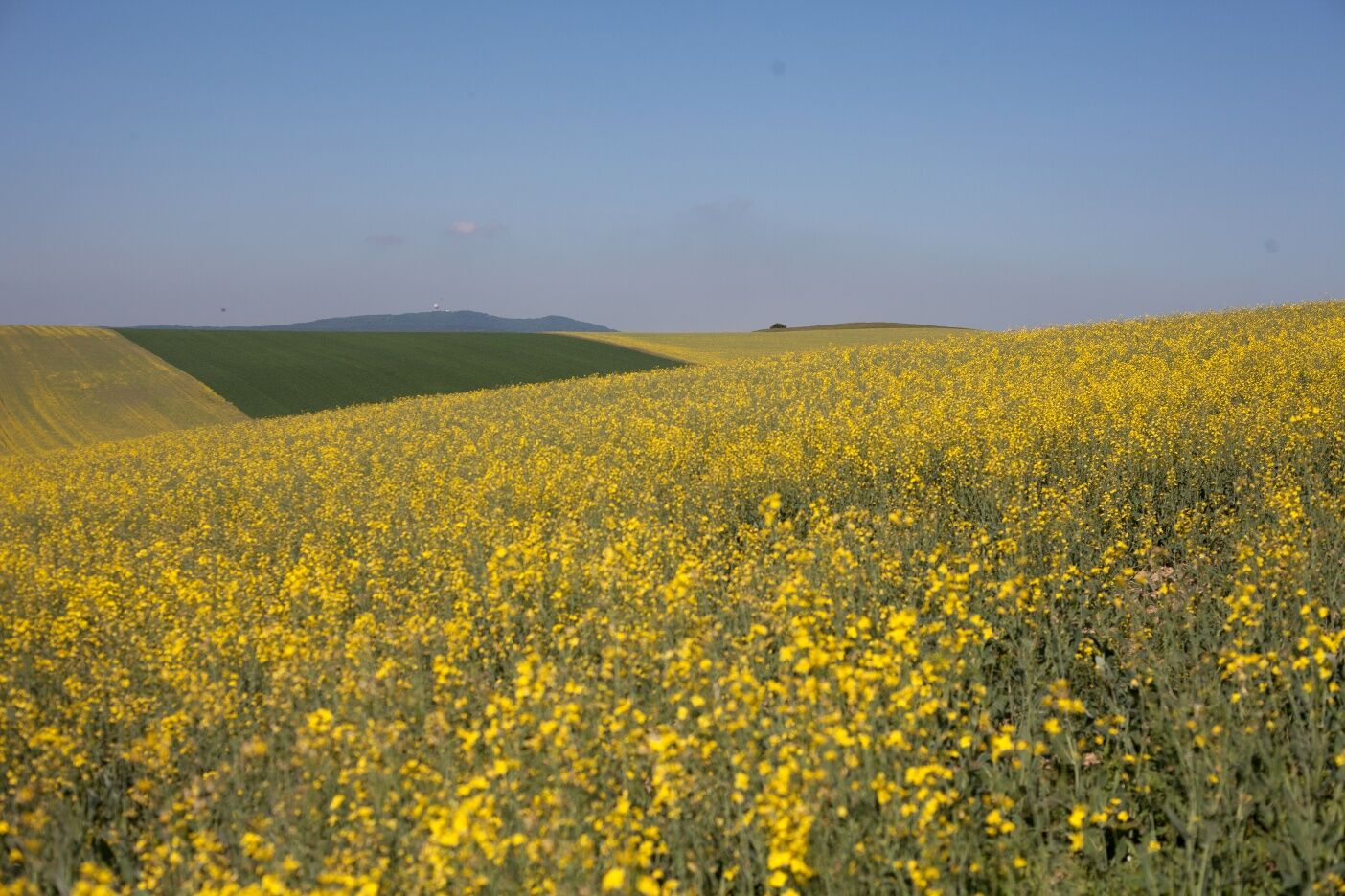
Steppe grassland with a view
In spring and summer, this is probably the most beautiful hiking trail through dry, semi-dry and steppe grasslands.
Across dry grassland, past the source of the Zaya and the viewing tower on Oberleiser Berg.

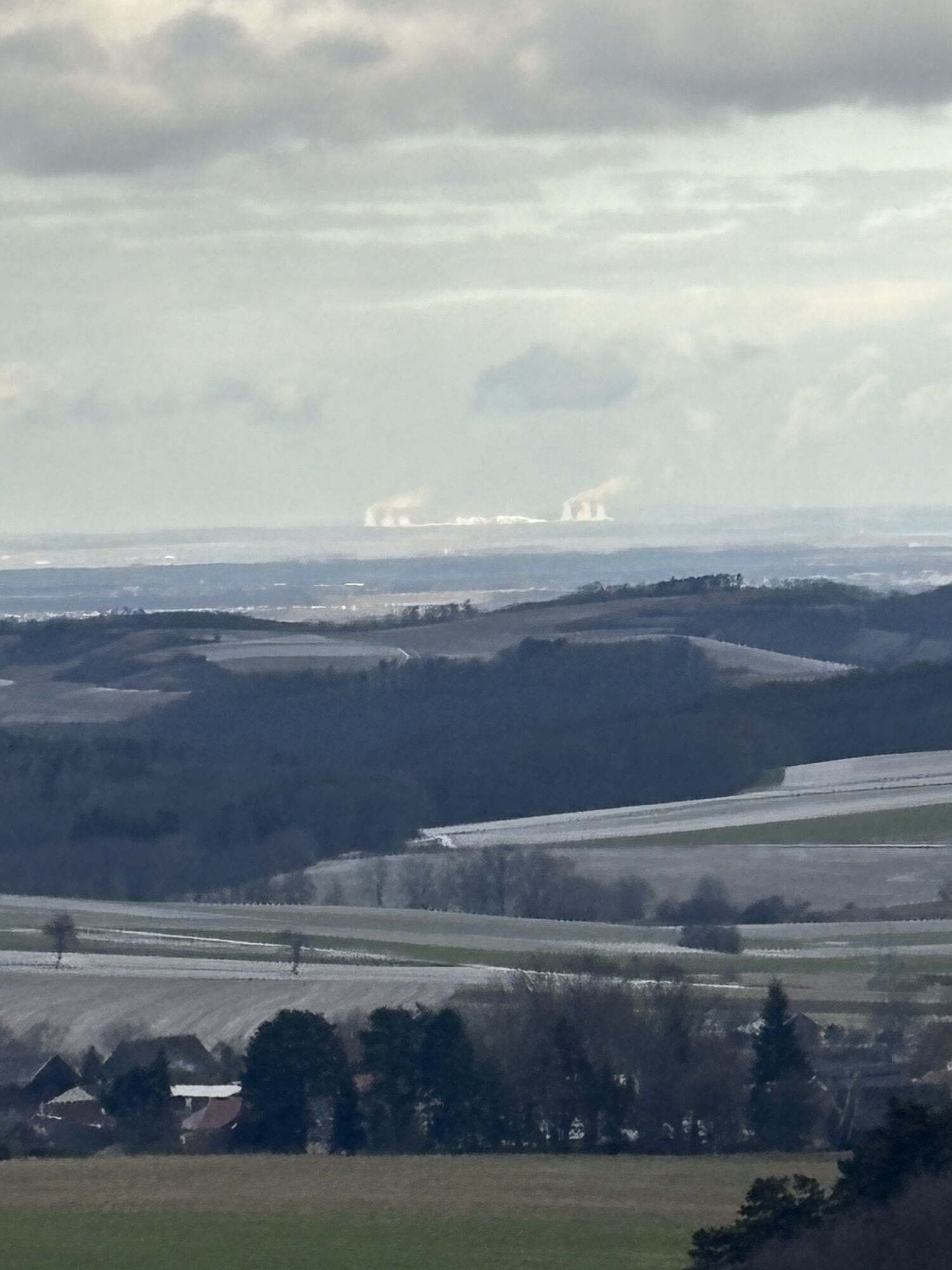
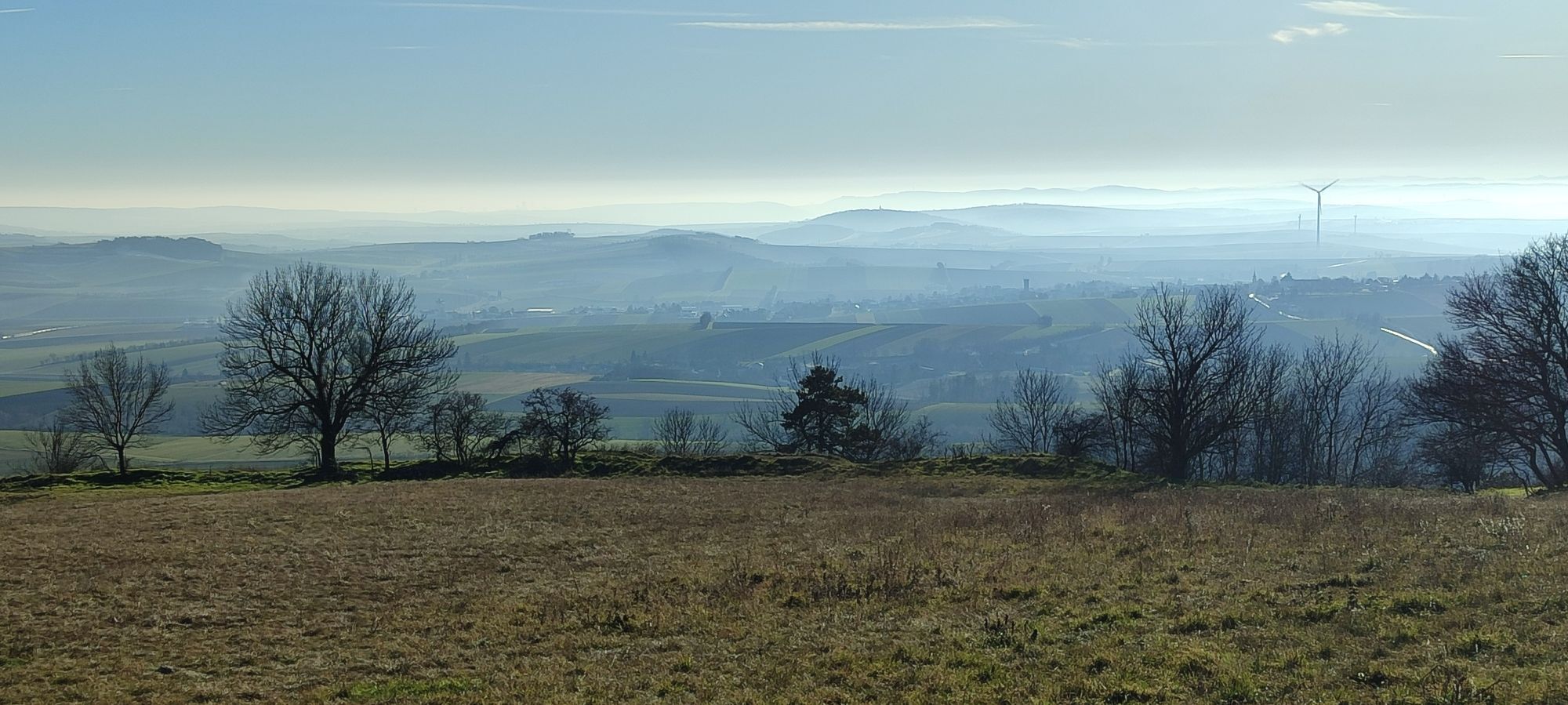
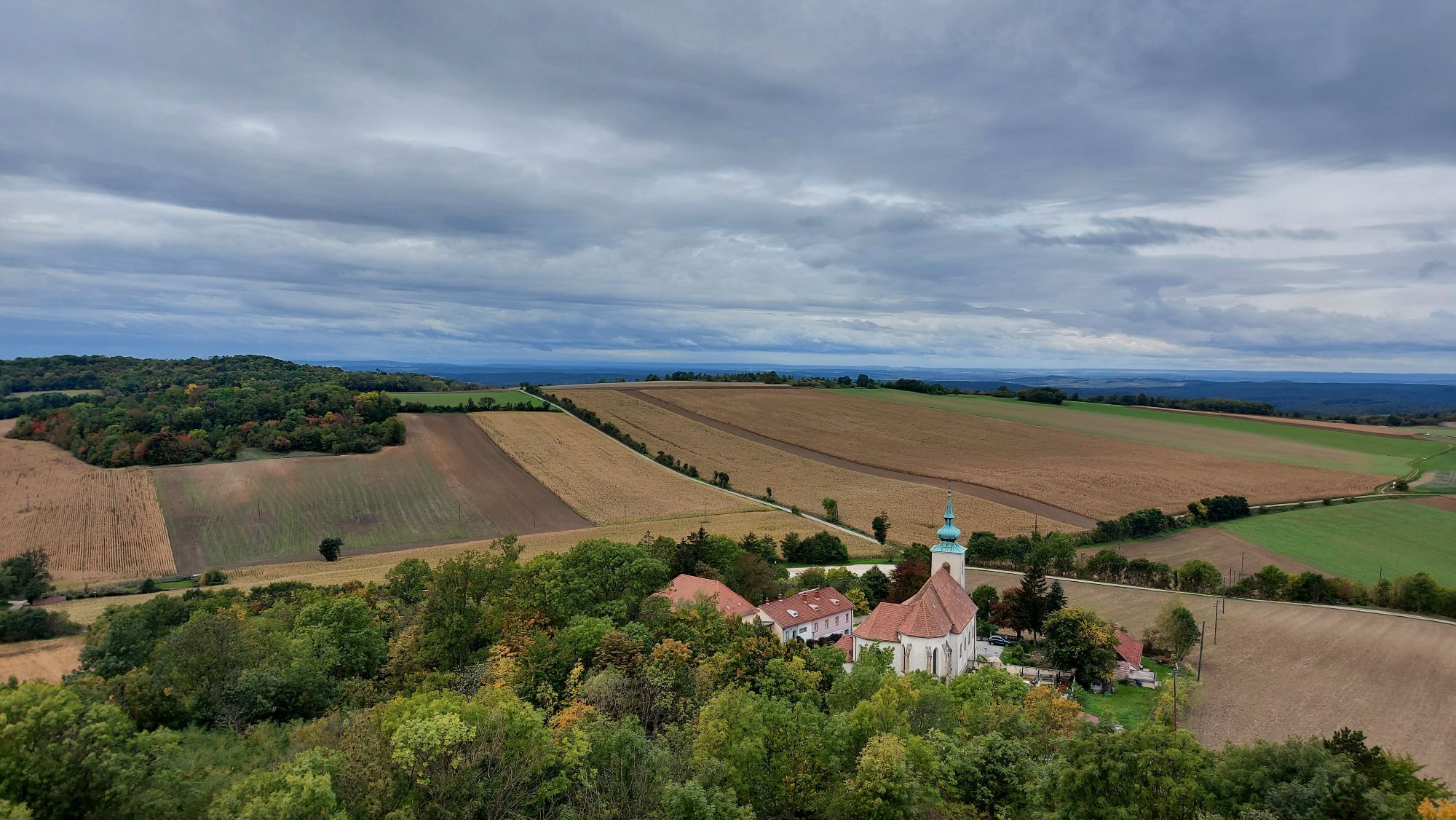
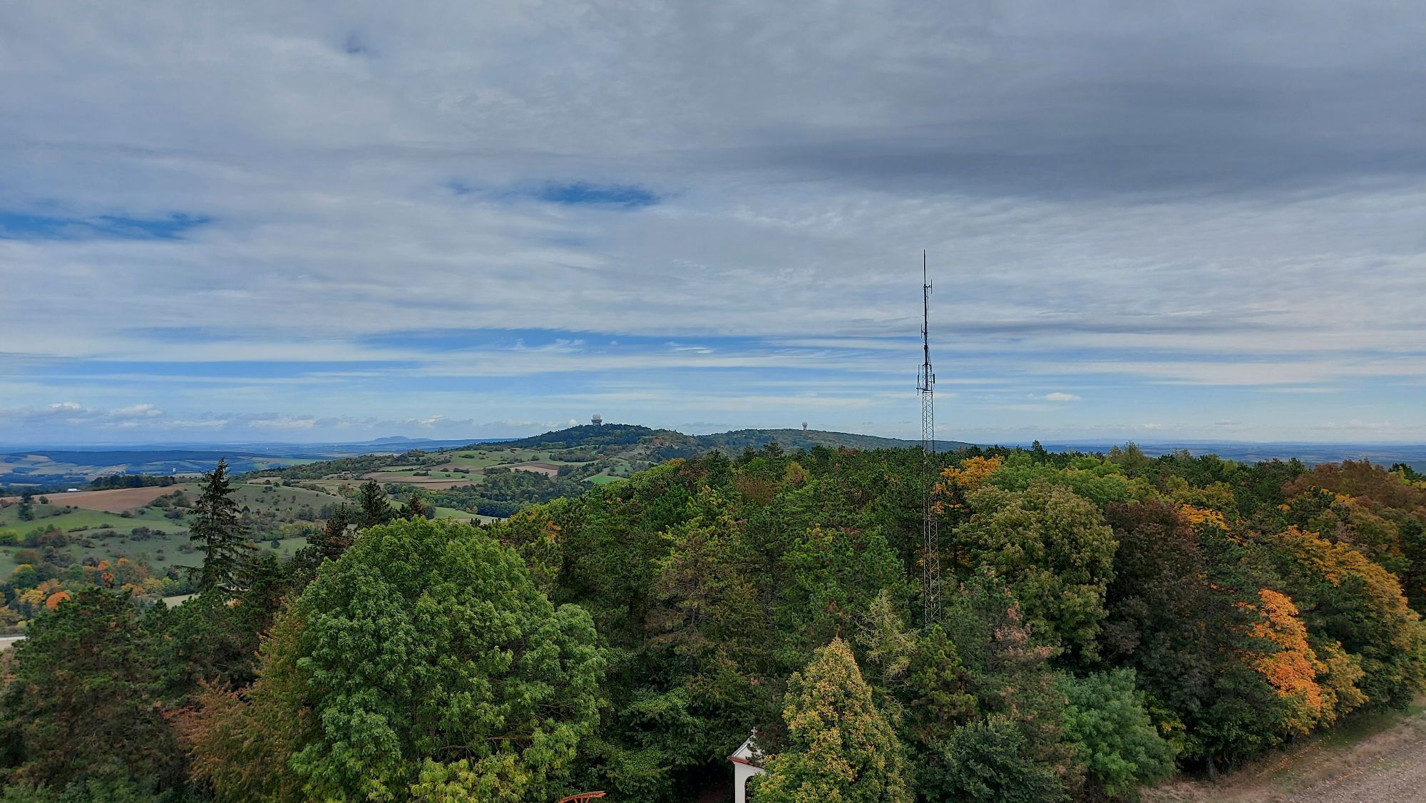
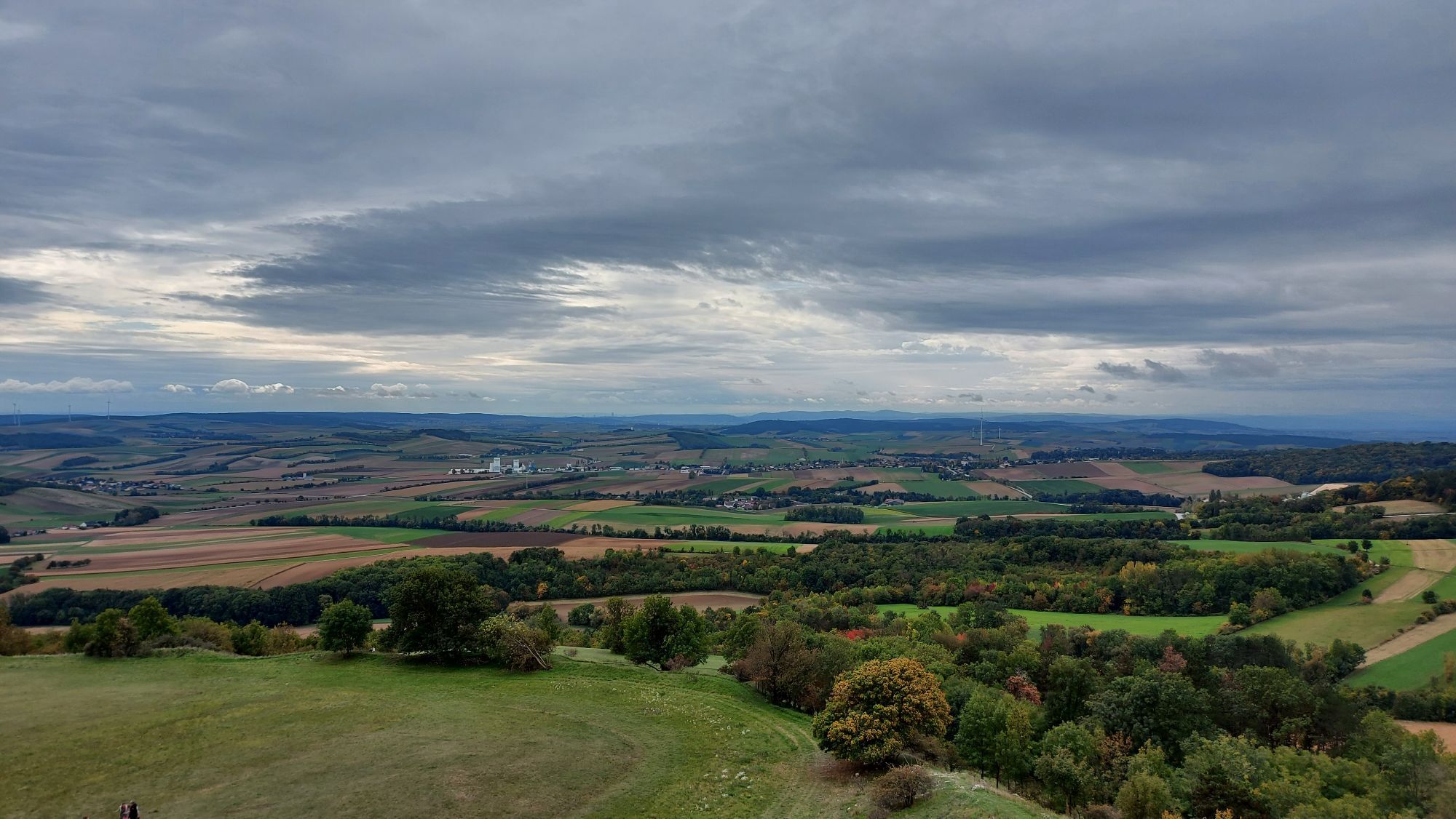
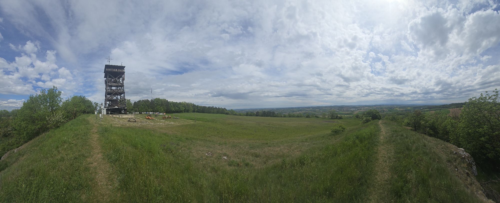
The title of this hiking route lives up to its promise. From the large parking lot in Oberleis, it takes 10 minutes to reach Oberleiser Berg and enjoy a wonderful panoramic view over the entire Weinviertel from the observation tower. In good visibility, the Donauturm in Vienna can be clearly seen, somewhat further west the Alps with Schneeberg and Ötscher. To the east, the Carpathian mountain range is visible, and to the north, the view extends far beyond the Laa plain up to the Pollauer Mountains in Moravia.
The ground plans of the former Germanic royal seat can also be clearly seen from the tower.
The bee educational trail with 11 stations shows the influence of bees on nature and human life. Illustrated information boards and two observable beehives provide insight into the life of honeybees.
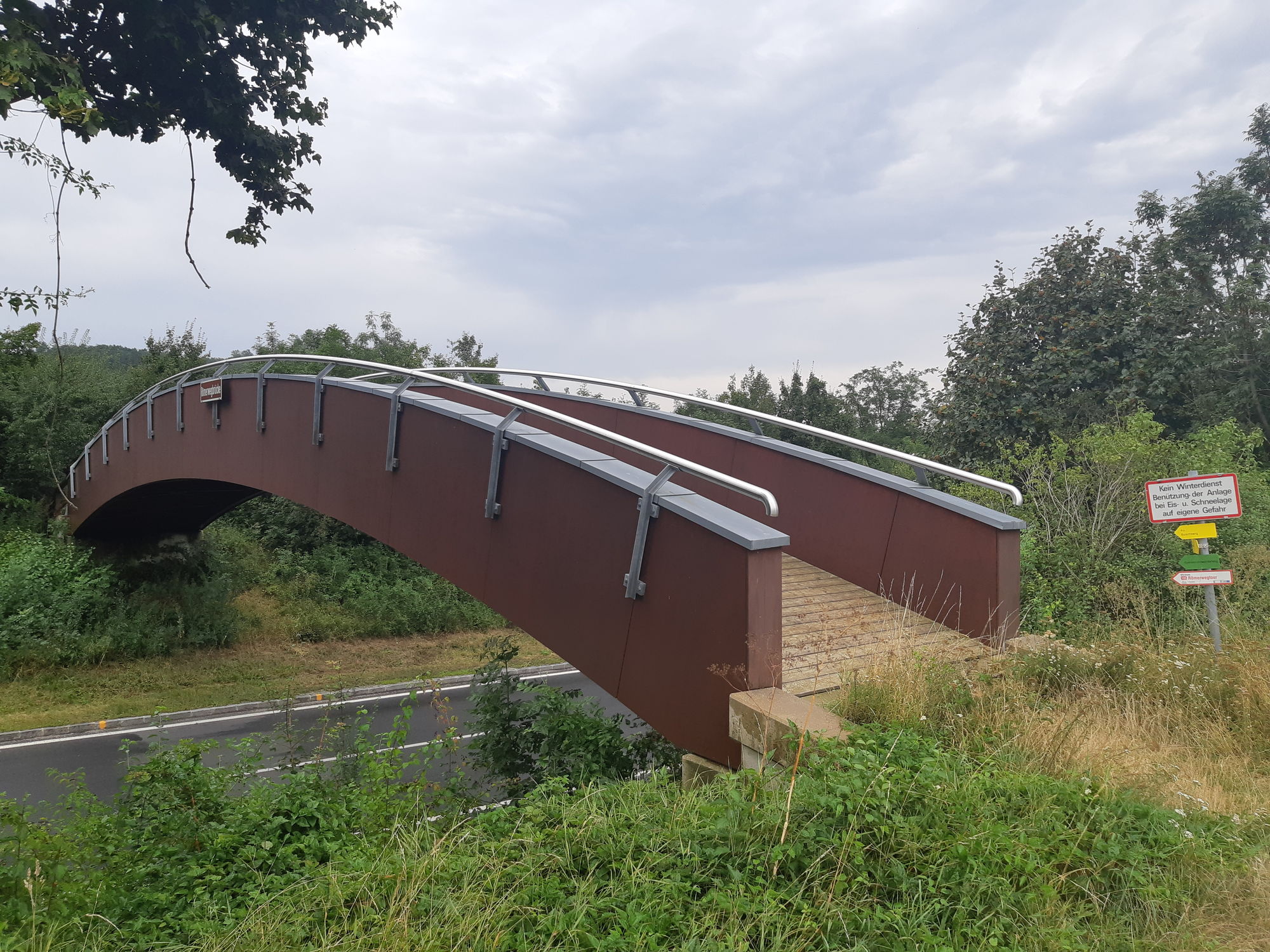
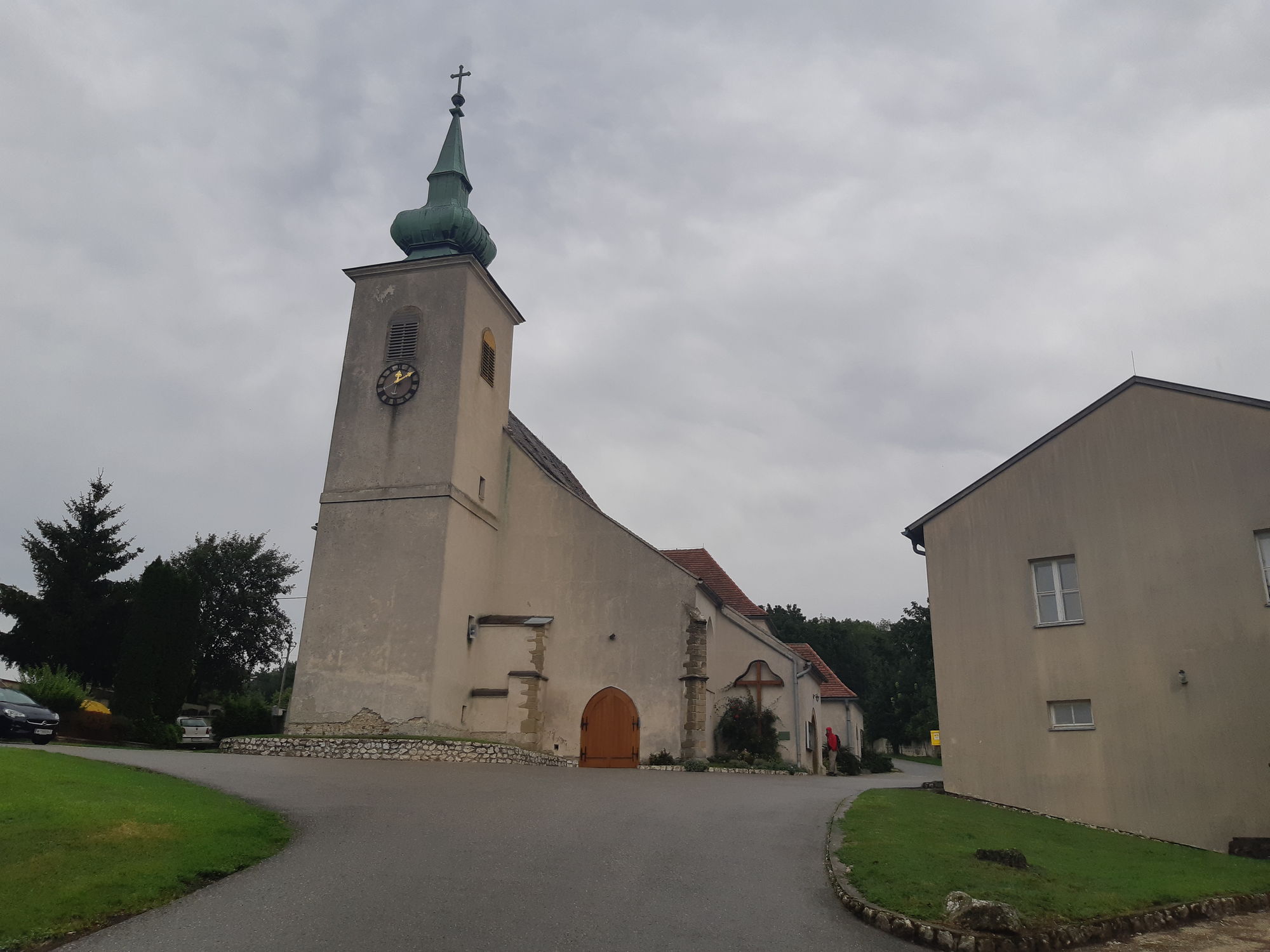
After descending, the path goes above the cemetery and the Maria Oberleis pilgrimage church down the so-called Roman path. (The name is based on a misunderstanding by the first excavators, who thought they had found a Roman settlement. In fact, it was a Germanic royal seat built according to Roman models.) Here, there is a beautiful view of Schulberg with its typical dry grasslands interspersed with bushes, and over the Roman path bridge, it continues to Au. After a short refreshment at GH Riepl (if needed), one then climbs a narrow hollow path covered with ubiquitous limestone stones.
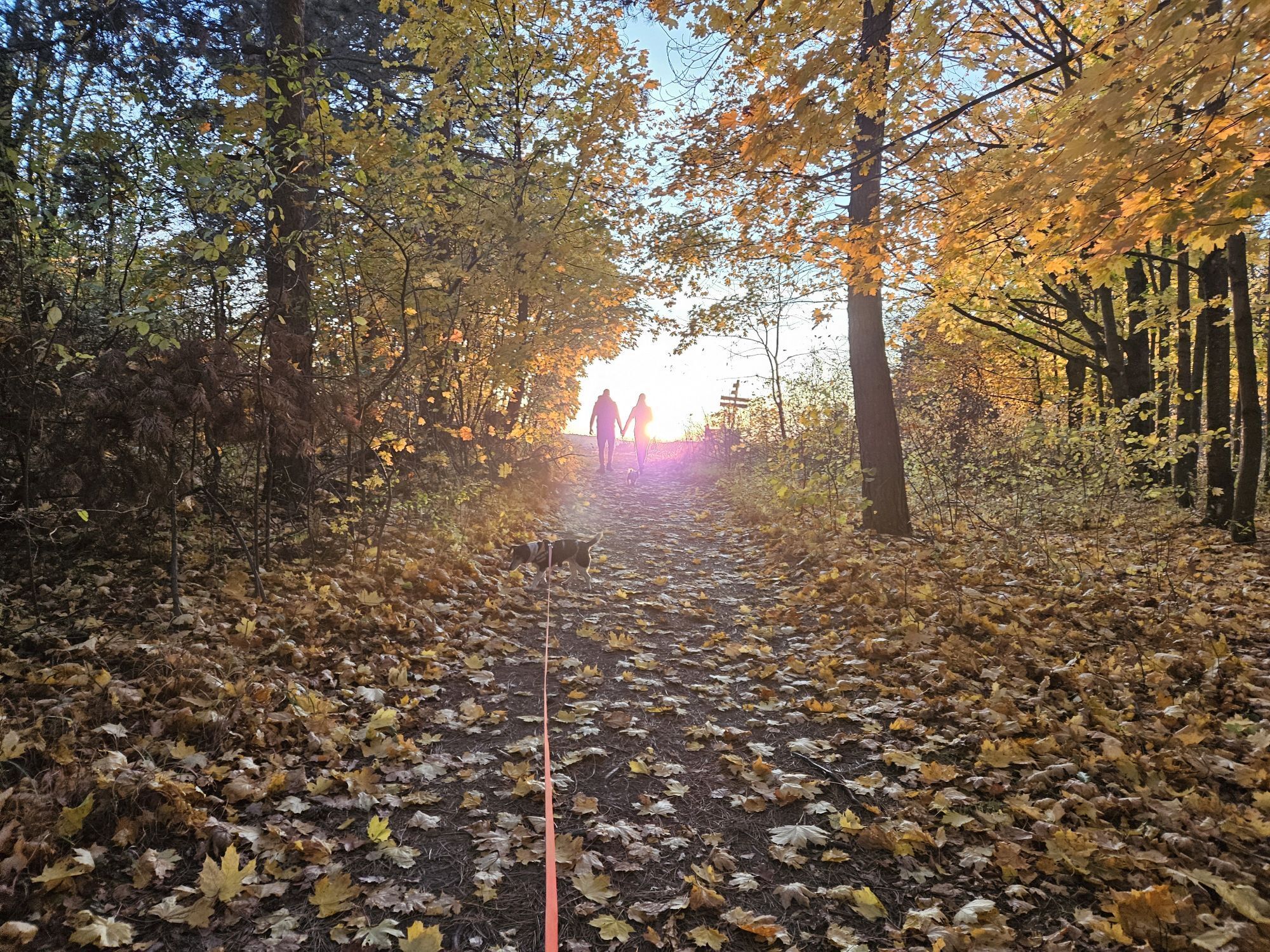
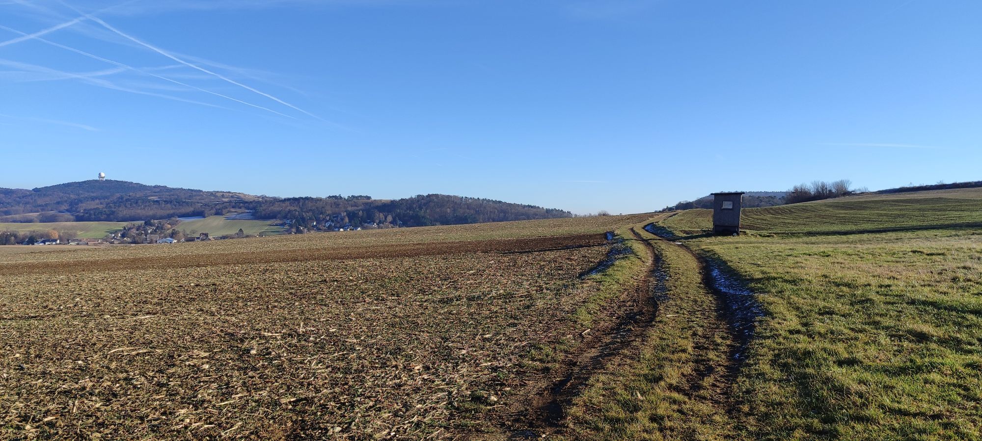
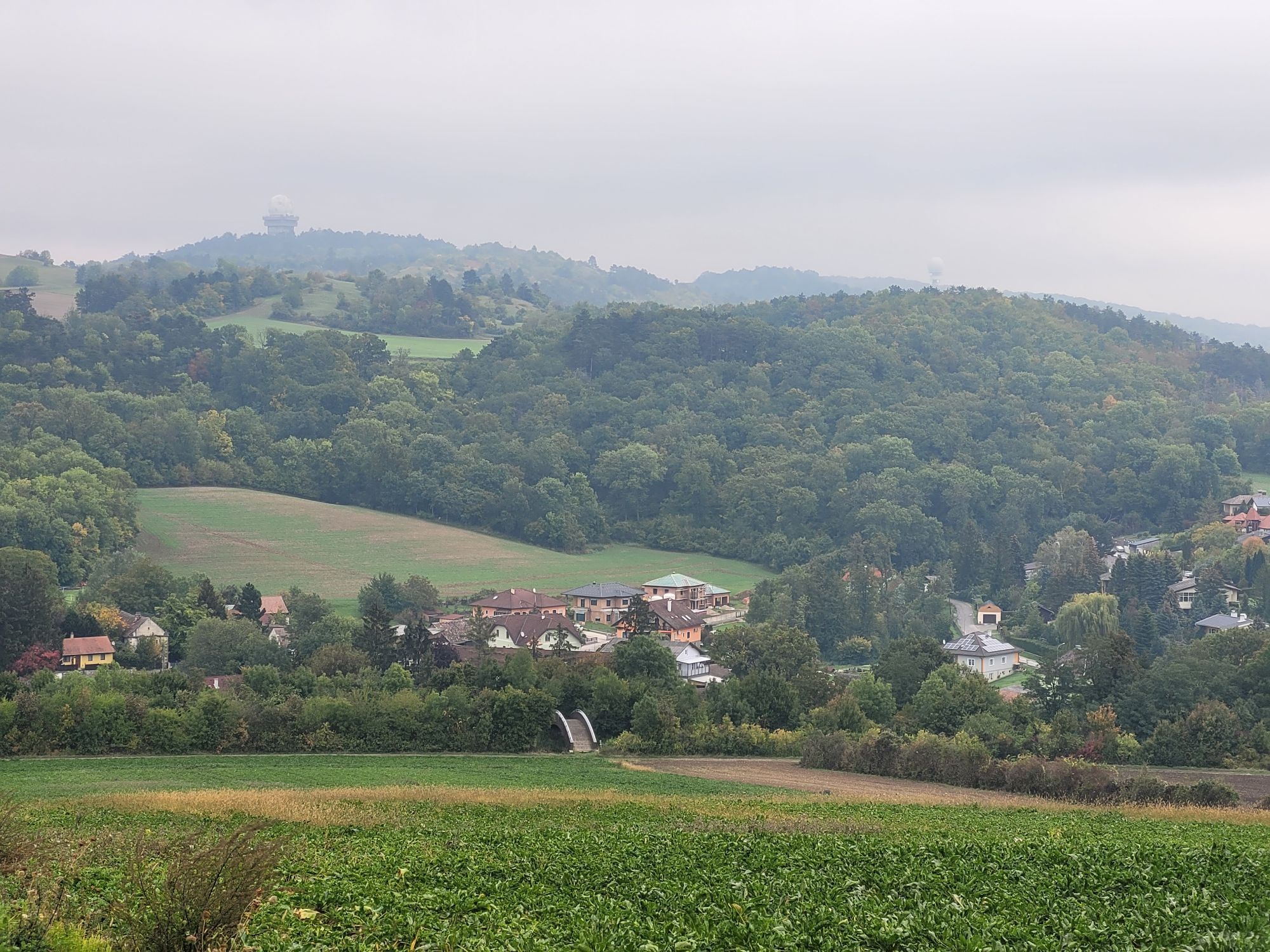
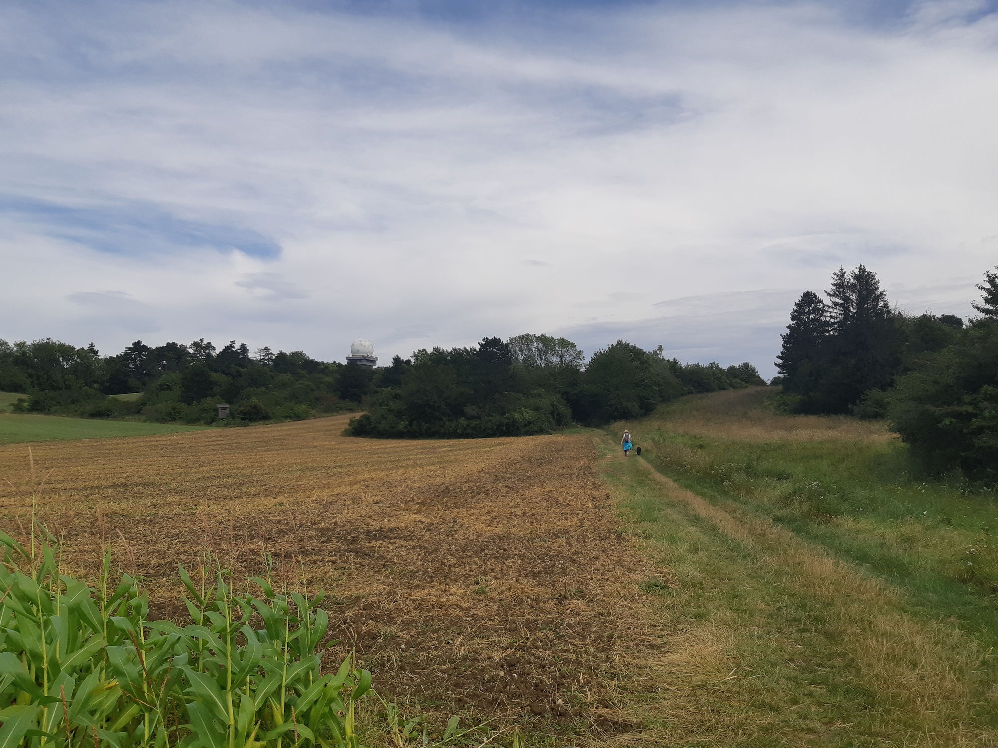
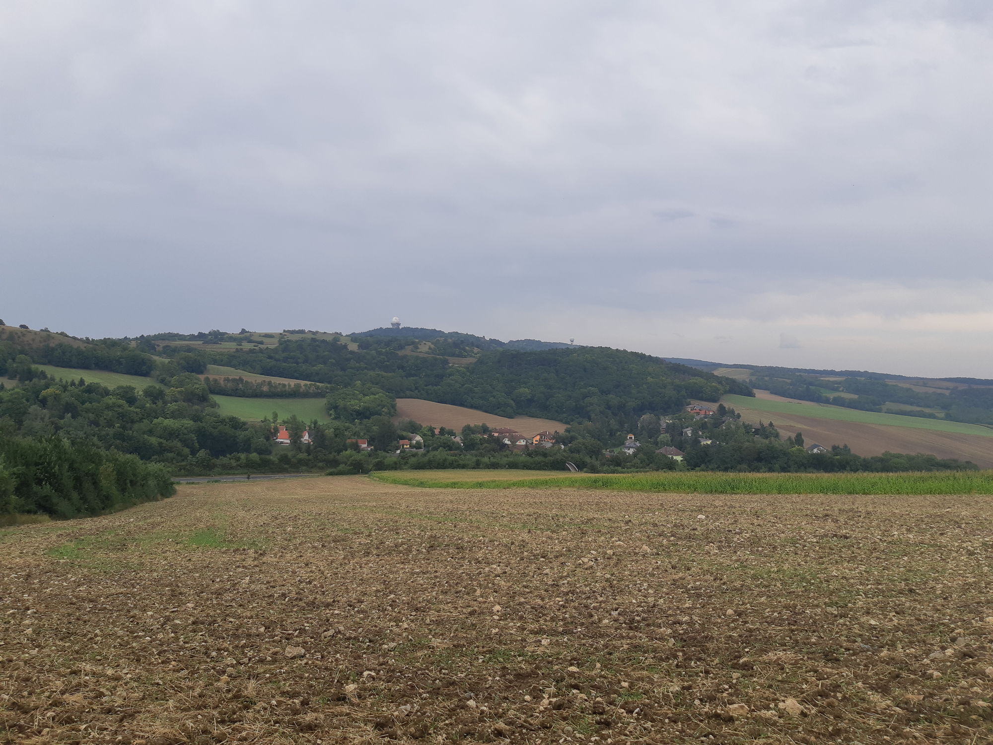
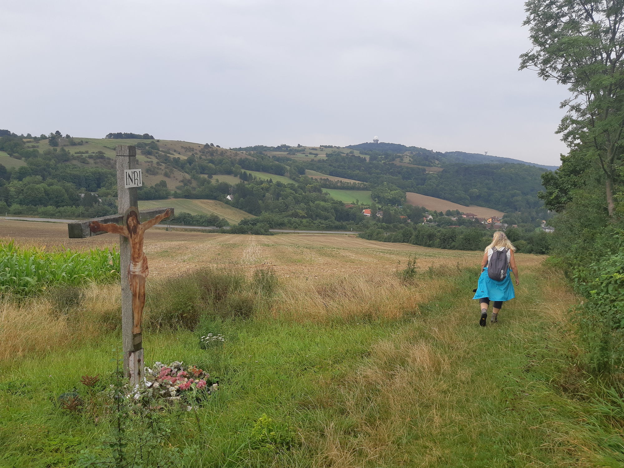
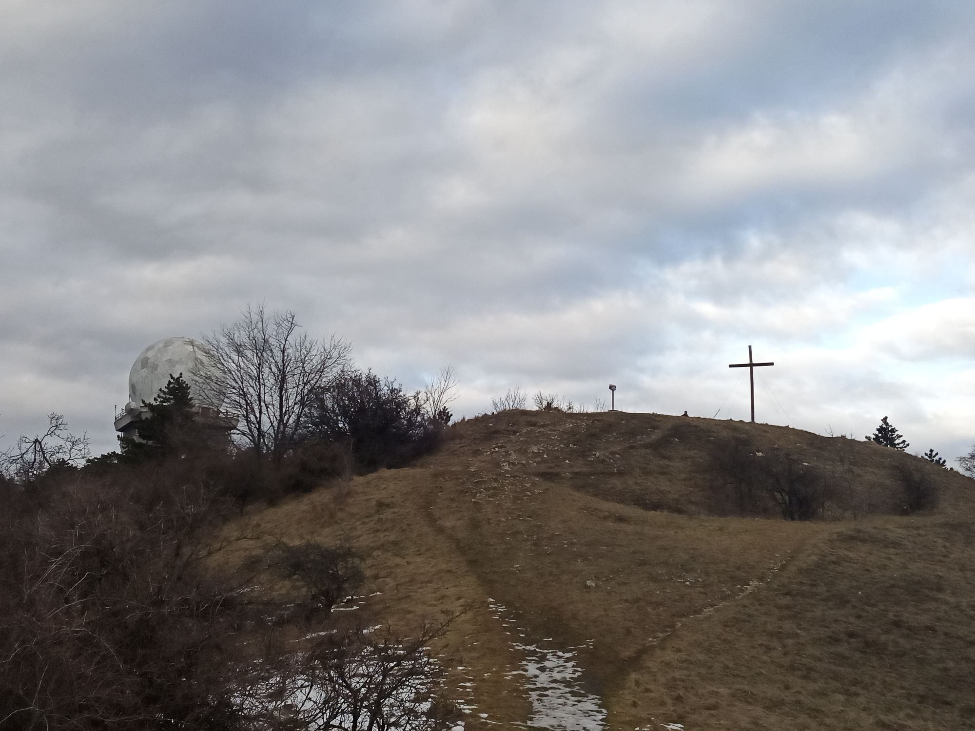
At the top, the path merges into the high trail, and now the prominent radar dome already points the way. Looking back, one sees the village of Oberleis, which, apart from the parsonage, consists only of a single house and the pilgrimage church, which seems to cling to the hill.
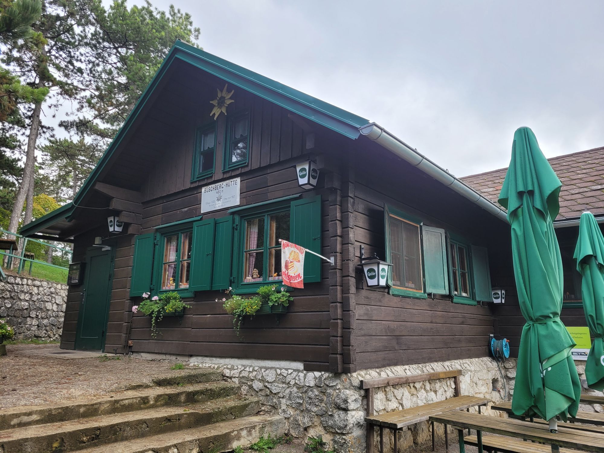
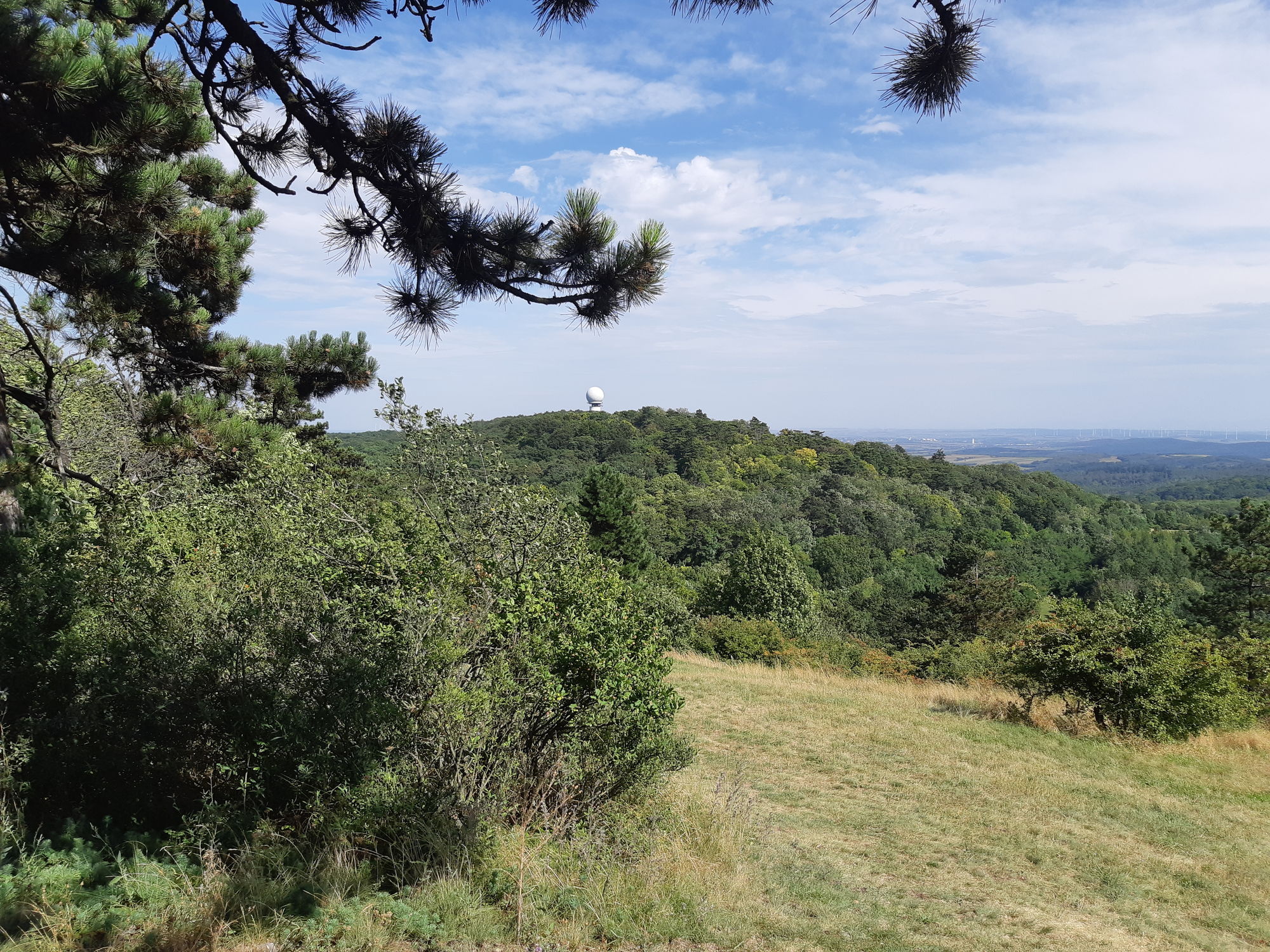
The road to the Buschberg finally ends in a narrow path leading through the forest to the Buschberg hut. Slightly hidden among the dark pines lies the lowest located Austrian Alpine Club hut. Tables and benches in the shady guest garden invite you to rest. Impressive is the sight of the radar dome with over 20 m in diameter, which monitors the airspace within a range of 300 km. Just below is the treasure hunter's hut of the Leiser Berge nature park with information on the visitor program and the region's attractions.
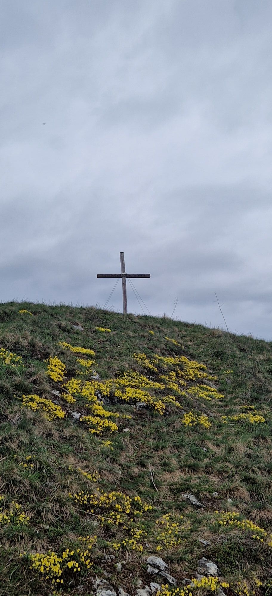
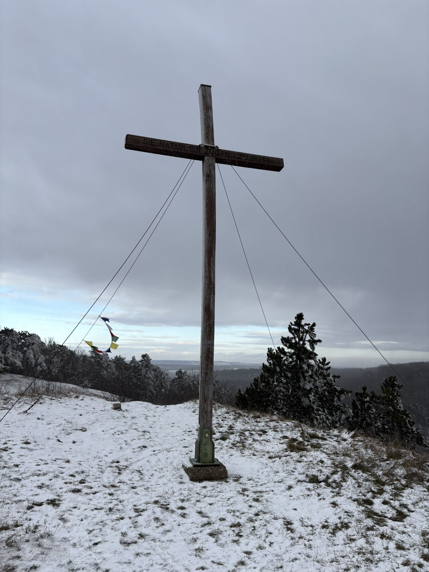
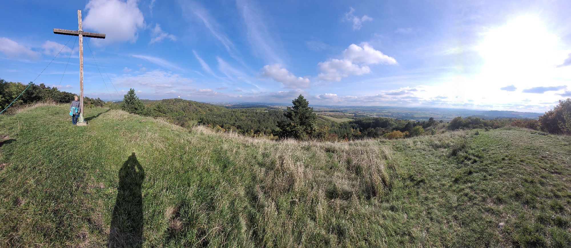
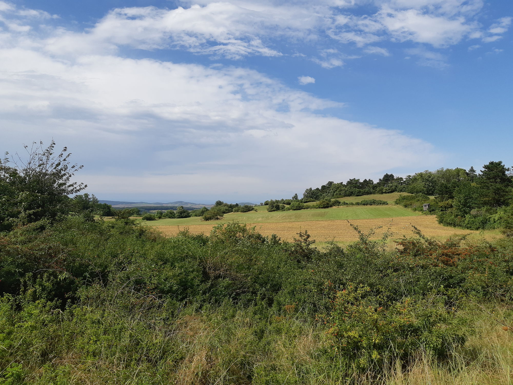
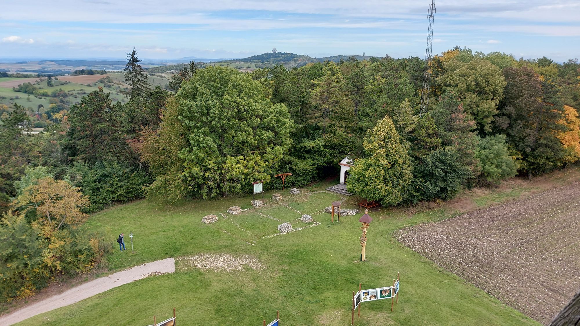
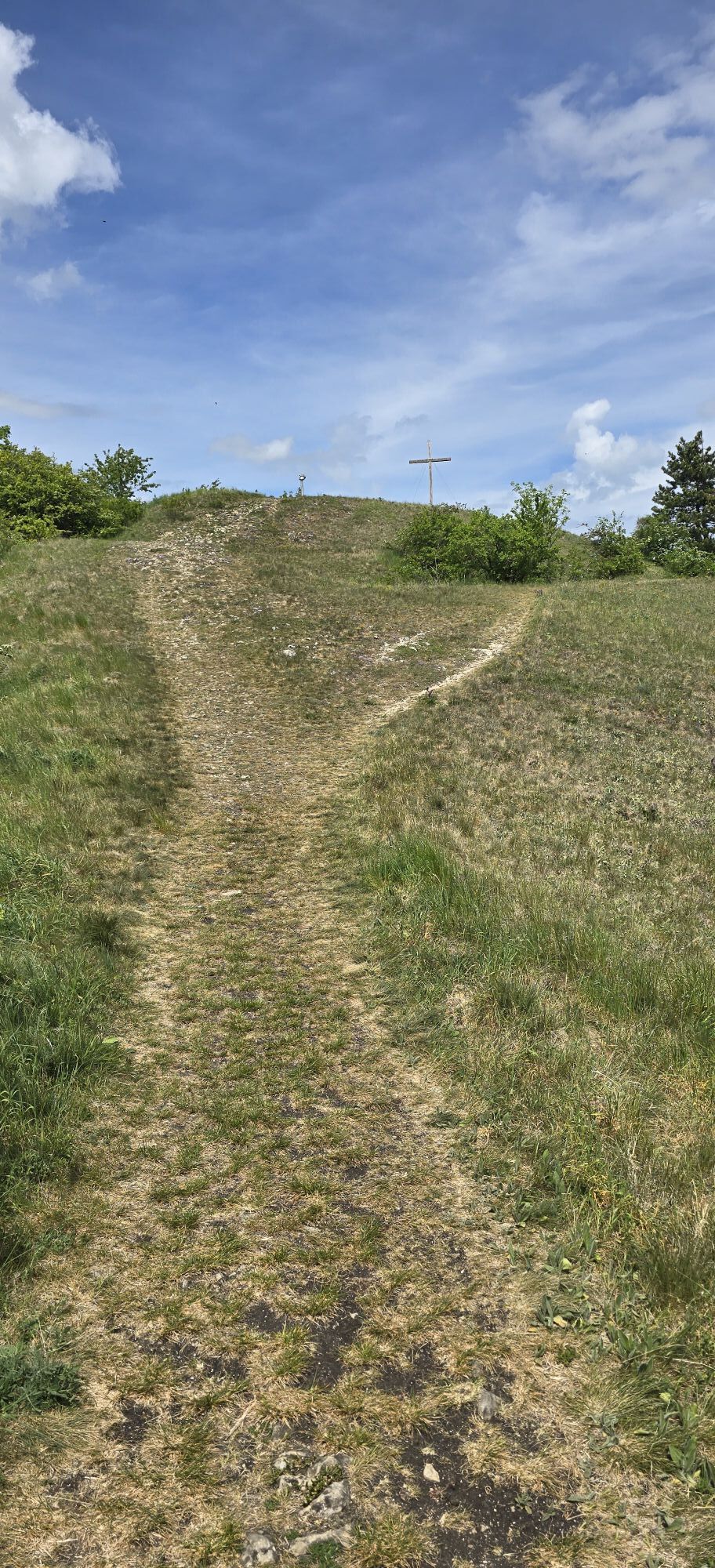
The return route goes via the old fort with the summit cross. Although this is not the highest point, it offers the best view. Over roots and stones, it goes back to the high trail and further to Schulberg. Here, a detour to the sculpture meadow with works made of huge granite blocks is worthwhile.
Then the path leads down to Klement, where you can refresh yourself at GH Hösch and at Flockerlhof in an unusual atmosphere buy 1000 beautiful things with coffee and cake. Finally, you pass the beautifully renovated granary and then the path leads to the Zaya spring. Over a meadow path, it goes back to the parking lot.
Headgear
A large parking lot is available at the starting point.
At the observatory turn left and take a break on the loungers with a fantastic panoramic view.

Popularne wycieczki w okolicy
- 4,2
Niederleis-Buschberg-Runde
światłoWędrówka 7,66 km - 4,5
Über die Leiser Berge
światłoWędrówka 10,1 km - 4,0
Leiser Berge Rundtour MASU
światłoWędrówka 10,4 km - 4,3
Kalkstein-Runde
światłoWędrówka 13 km - 4,6
Weinviertel extreme Gipfelwanderung 2024
średniWędrówka 40,8 km - 4,3
Hundsberg RDW, Kreuttal/Weinviertel
światłoWędrówka 10,4 km - 5,0
Blauburger
Jazda na rowerze 50,6 km - 3,5
Rieplkreuz-Runde Ernstbrunner Wald
światłoWędrówka 6,79 km ERNSTBRUNN Dörfles, Wildtierpark, Schloss Ernstbrunn 20220422
światłoWędrówka 6,76 km- 5,0
»tut gut« Wanderweg Mistelbach| Route 3
światłoWędrówka 6,80 km
Wędrówki i tropienie


Nie przegap ofert i inspiracji na następne wakacje
Twój adres e-mail została dodana do listy mailingowej.