







Haidgrabenweg

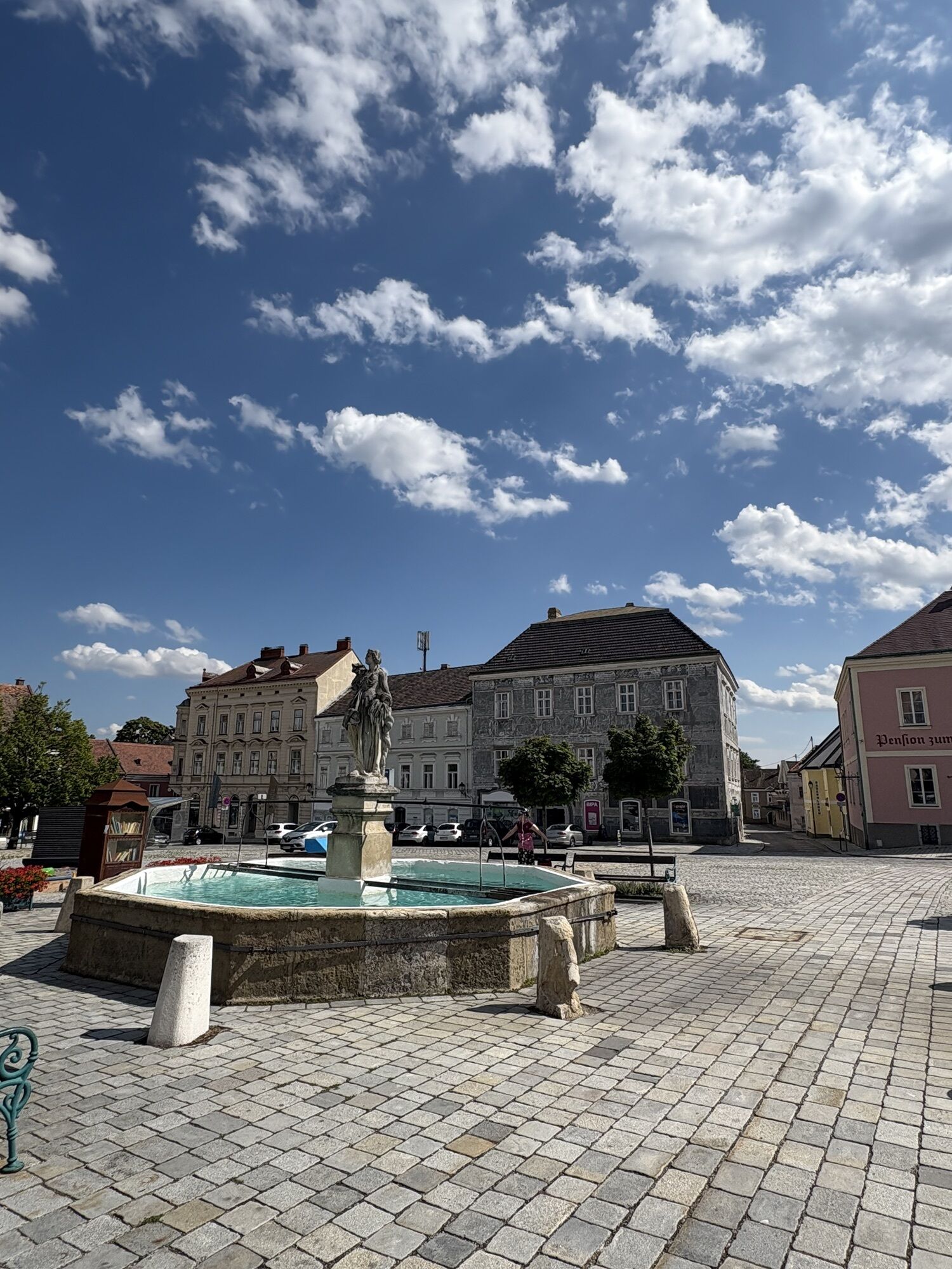
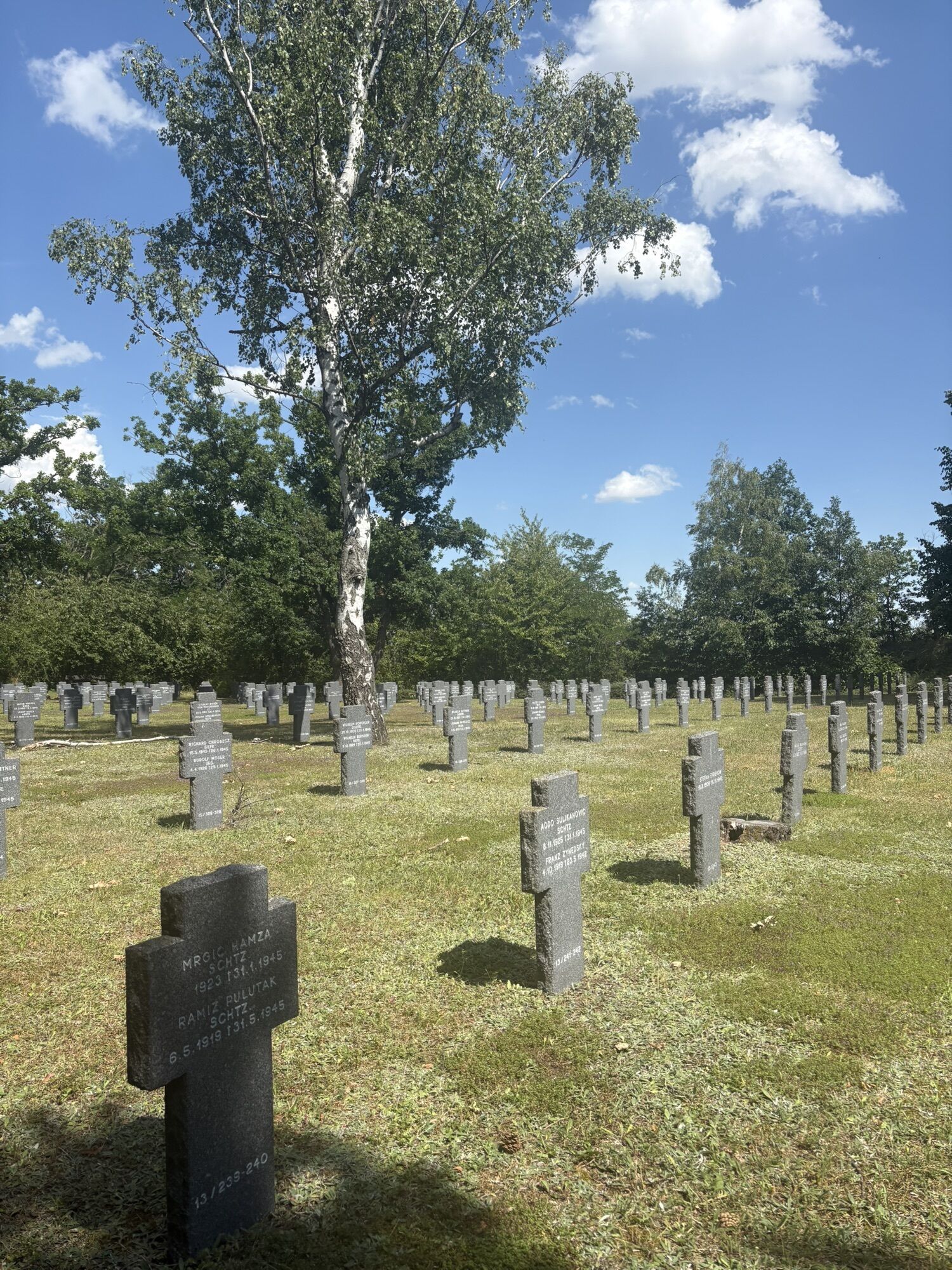
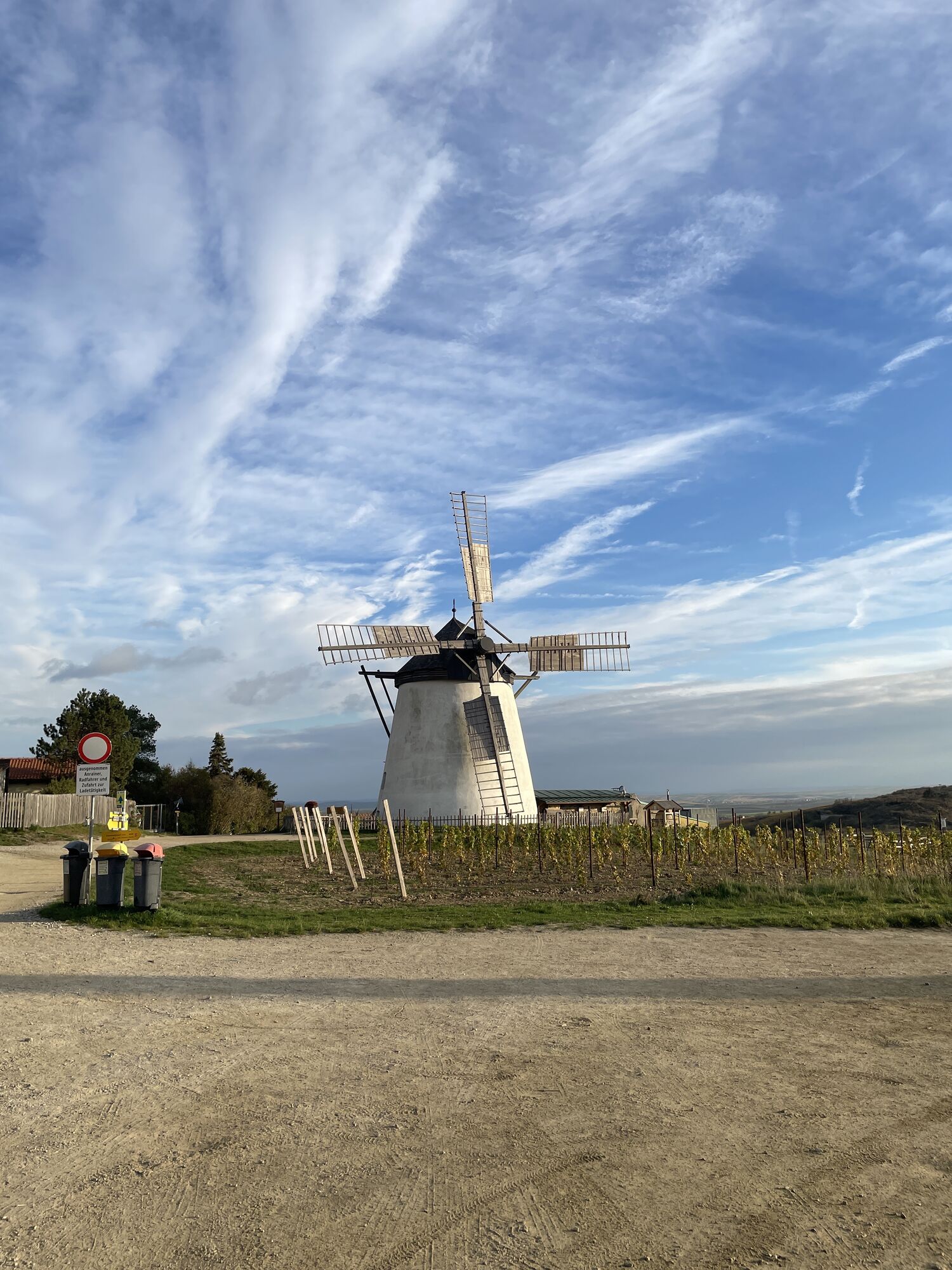

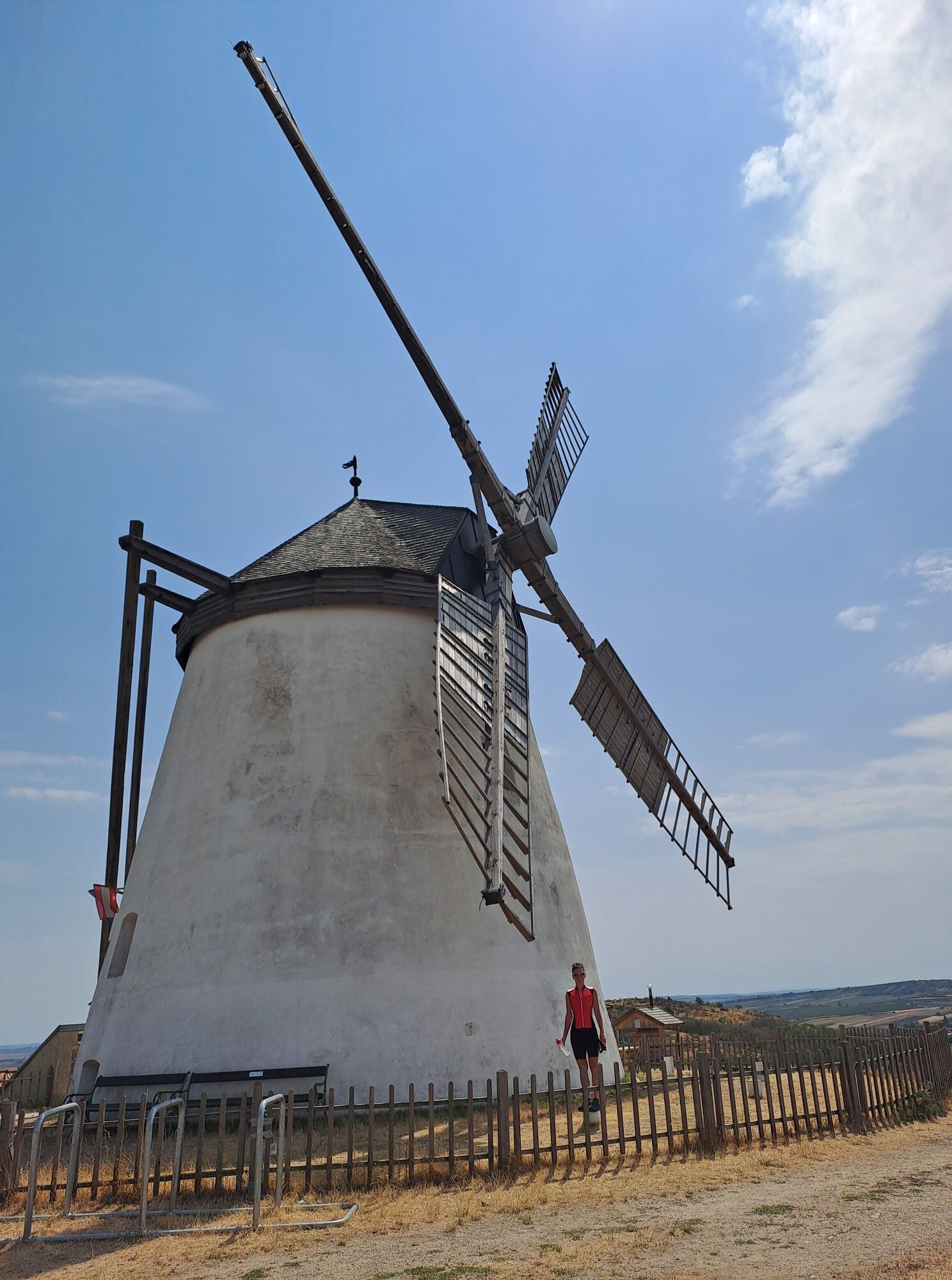
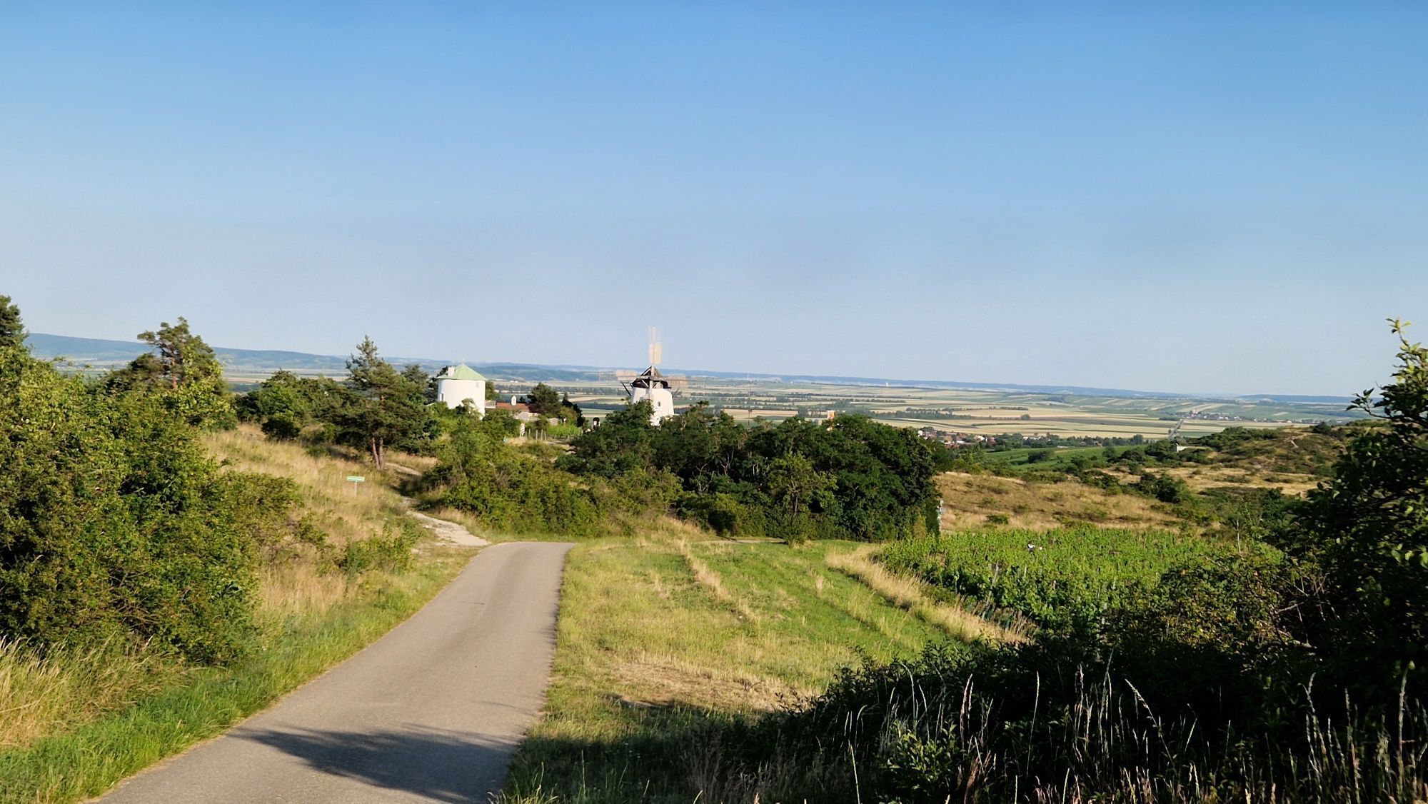

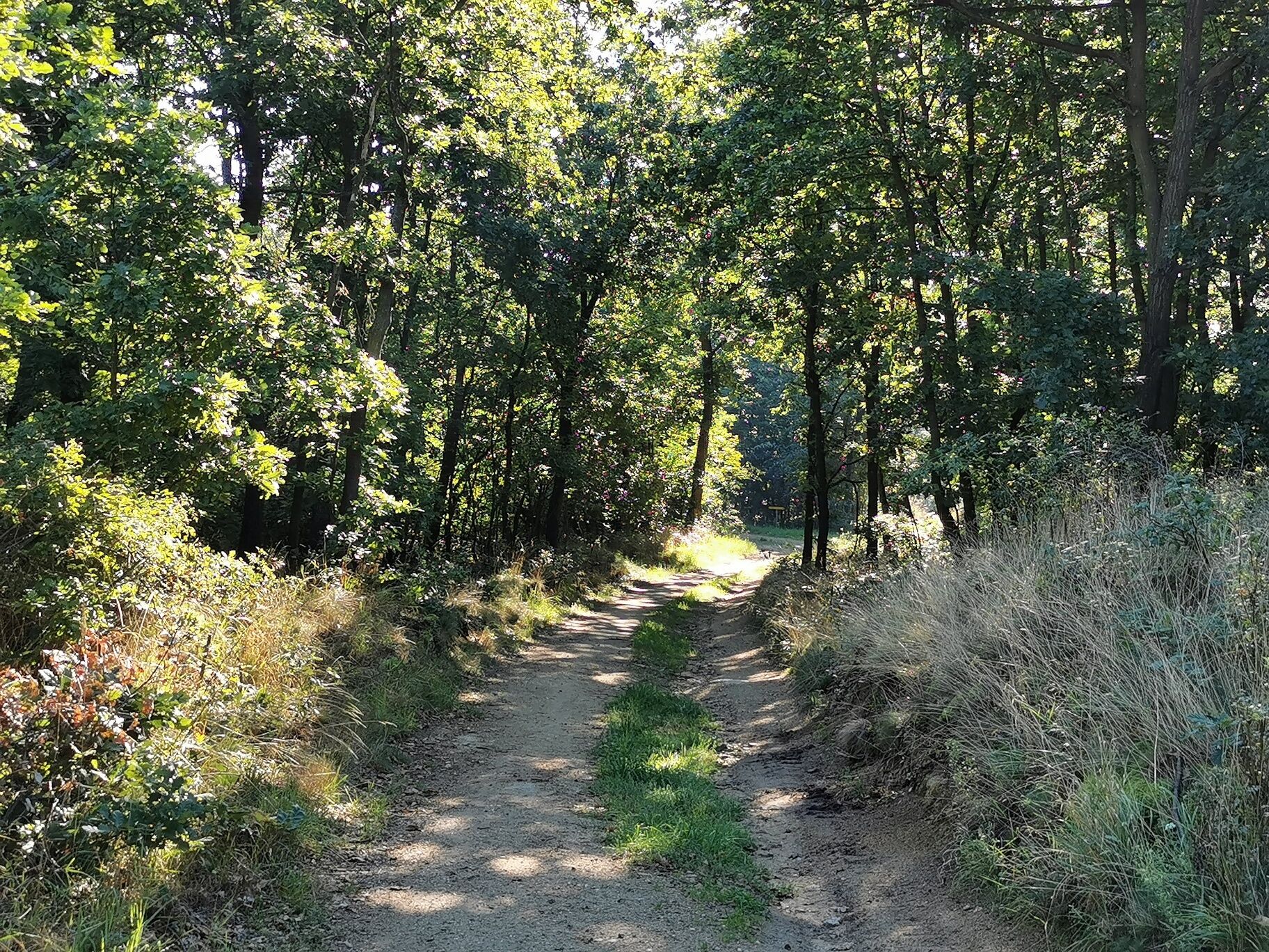
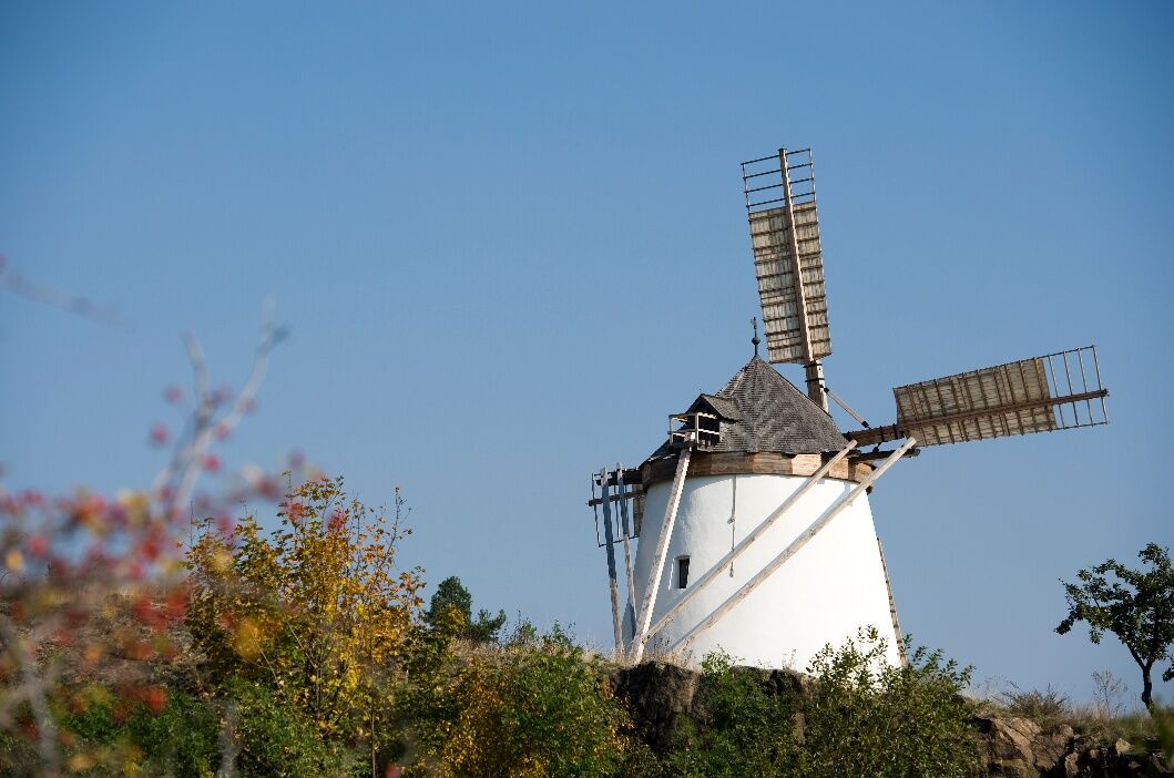

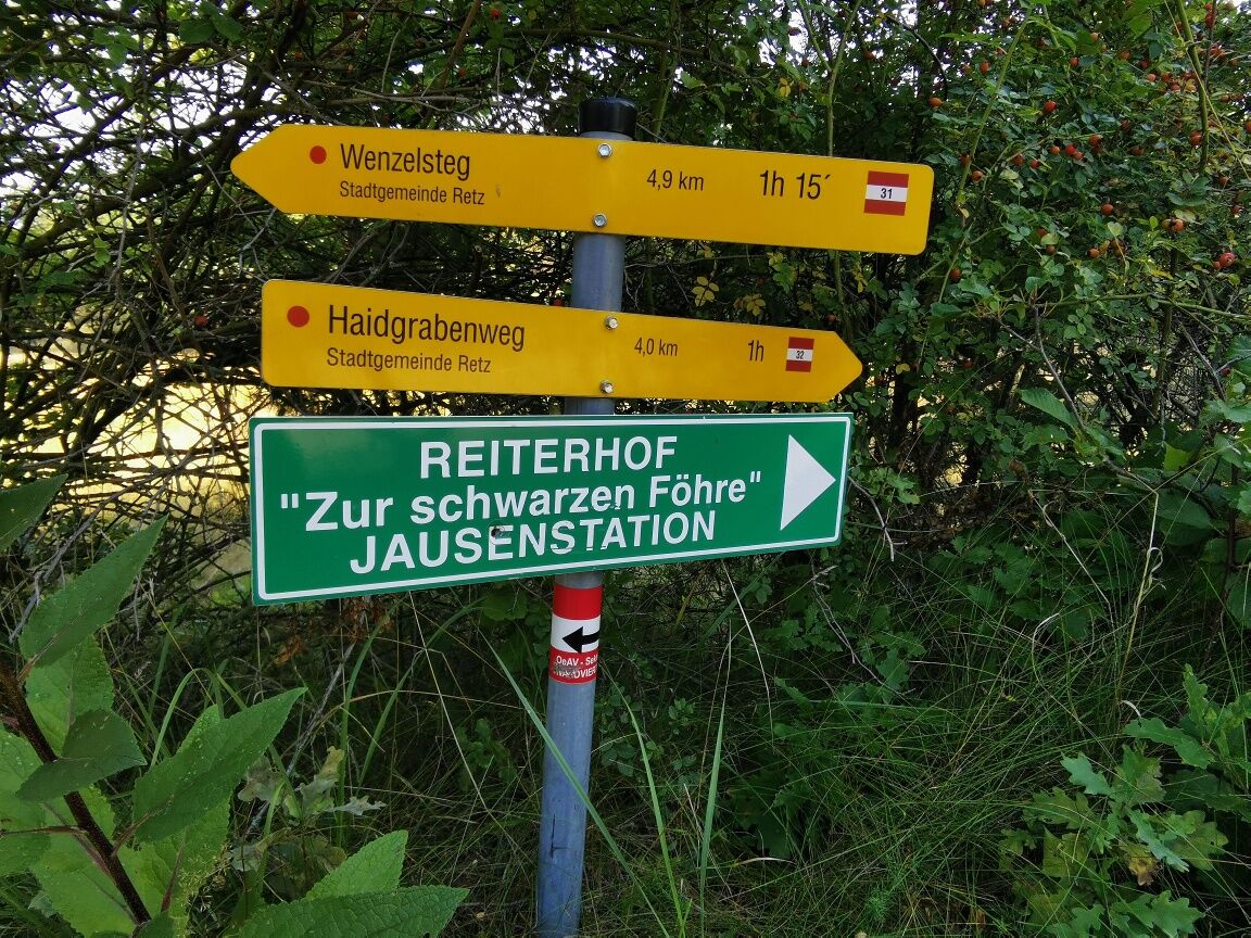
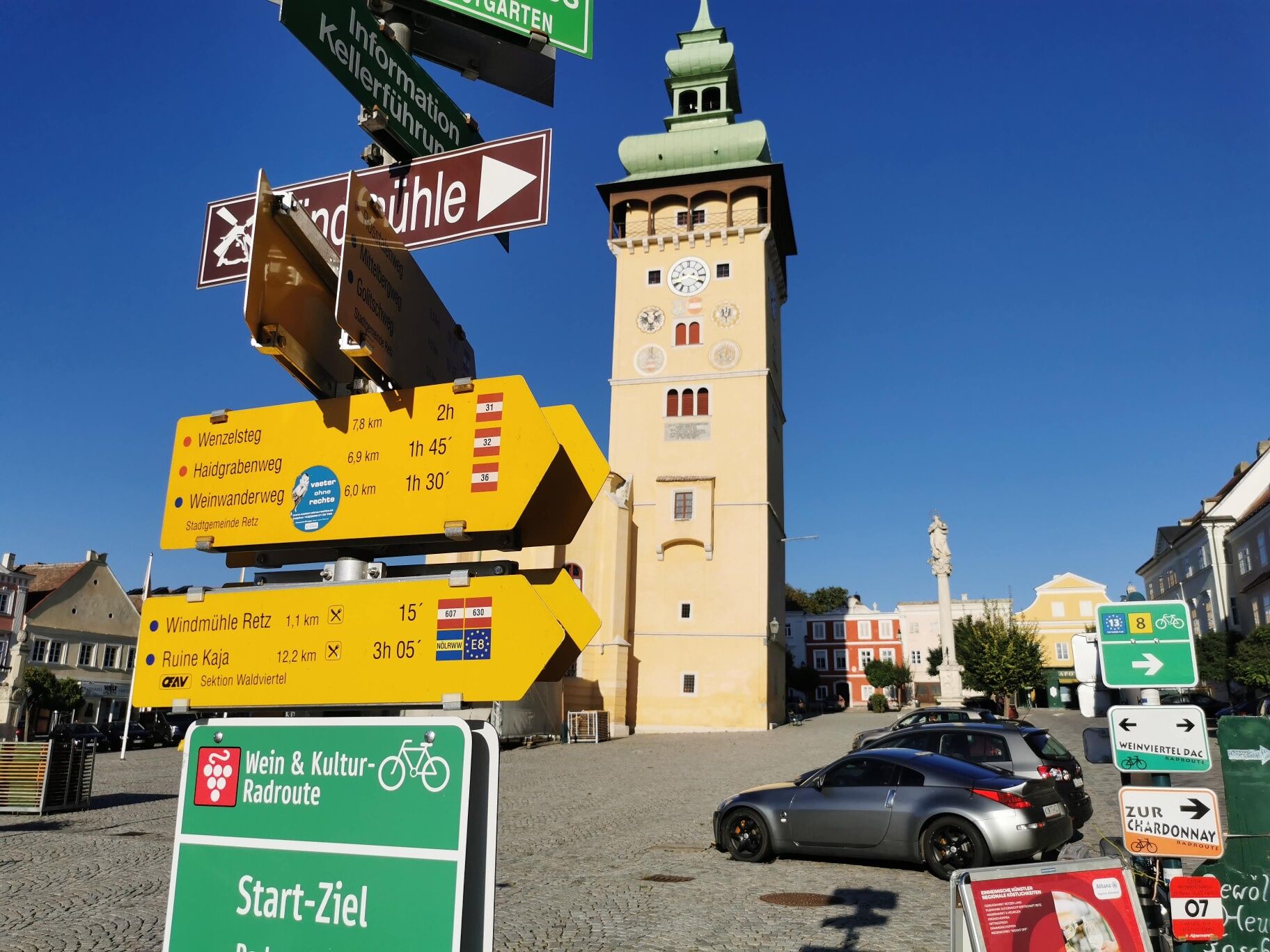

From the main square—the town fountain—you’ll pass through the Verderber and Znaimer Gates, then turn left at the first intersection onto Windmühlgasse. At the end of this street, the footpath to the windmill branches off to the right. Past the windmill, you’ll see Kalvarienberg and the Soldiers’ Cemetery on your right. The trail continues uphill through a mixed pine forest to the trail junction at the “Büd’lbaum.” Here, turn right until you turn onto Haidbergweg about 400 m before the meadow. You’ll reach the “Schwarze Föhre” riding stable, where a snack bar invites you to stop for a break. Continue along Haidbergweg to Fladnitzerweg, then turn right uphill through the forest at the “Sieben Bründeln” (which supply water to the city fountains on the main square). You’ll then pass the military cemetery, turn left toward the windmill—where you can stop for a bite to eat at the Bergmann Windmill Heurigen—and return to the city.
Vienna: A 22 – Stockerau – S 3 to Hollabrunn – B 303 to Guntersdorf – B 30 to Retz
Linz: A 7 toward Freistadt – B 310 to Freistadt – B 38 via Zwettl to Rastenfeld – turn left here toward Horn – B 45 to Pulkau – B 35 to Retz
Retzer Land Regional Marketing
Hauptplatz 30, 2070 Retz
+43 2942 2223-34 / +43 664 1546544
Attractions:
Retzer Erlebniskeller
Town Hall Tower
Town Hall Chapel
Windmill
Bicycle Museum
Retz Museum and South Moravian Gallery


Popularne wycieczki w okolicy
-
4,5
DAC Radtour-Weinviertel
średniJazda na rowerze 55,1 km -
4,5
Rundwanderung Nationalpark THAYATAL
światłoWędrówka 14,0 km -
5,0
Ruine Kaya - Thaya Aussichtspunkt
światłoWędrówka 6,82 km -
4,5
Ruine Kaya
średniWędrówka 12,5 km -
4,5
Hermit trail and wildcat trail
światłoWędrówka 7,25 km -
2,6
Chardonnay-Radtour
Jazda na rowerze 33,5 km -
4,7
Über NP Thaya zu historischen Städten / Etappe 2 Retz - Znaim
światłoWędrówka 17,2 km -
5,0
Cellar lane bicycle tour
średniJazda na rowerze 51,4 km -
5,0
Steinbruchtour
średniWędrówka 9,29 km -
4,3
Retz Rundwanderweg
średniWędrówka 15,4 km
Wędrówki i tropienie


Nie przegap ofert i inspiracji na następne wakacje
Twój adres e-mail została dodana do listy mailingowej.





