






Angergärten Rundweg
Angergärten Unterretzbach - relationships between people and nature
What grows in the Angergärten today - has actually always grown here.
The village green in Unterretzbach: the green, fertile village center...
Angergärten Unterretzbach - relationships between people and nature
What grows in the Angergärten today - has actually always grown here.
The village green in Unterretzbach: the green, fertile village center to the left and right of the Retzbach was once common grazing land - and where no animals grazed, people scurried through the thicket of lushly planted front gardens, harvesting what they needed to live.
And what you need to live is naturally more than just jam on your breakfast bread. Where supermarkets were in short supply and modern medicine had yet to be invented, "yield" took on a different meaning: gardens and plants had to serve, and the high level of physical labor involved in caring for them had to be worthwhile. It is no wonder that people here were prepared to look after their plants, take a closer look and pass on traditional knowledge to their sons and daughters.
Today, the Anger gardens present themselves as a fragrant and blooming whole, made up of many small garden paradises. They are still cultivated naturally by the residents of the community. And many things that used to thrive here still do...
Let's go: visitors set off from the garden pavilion into the greenery. Display boards along the gardens provide details about the gardens, their owners and their history.
Small "natural pharmacies" provide unexpected insights into naturopathy and six (partly interactive) experience stations invite visitors to take an entertaining look at botany and climate: how do plants talk to the soil? What can the tamarisk do? And what do our trees do for the climate?
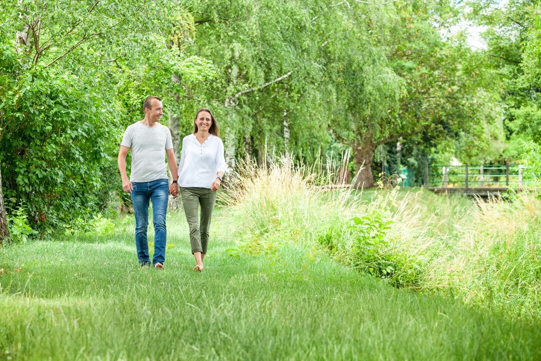
The show garden trail can be walked alone - but the municipality also organizes guided tours and workshops!

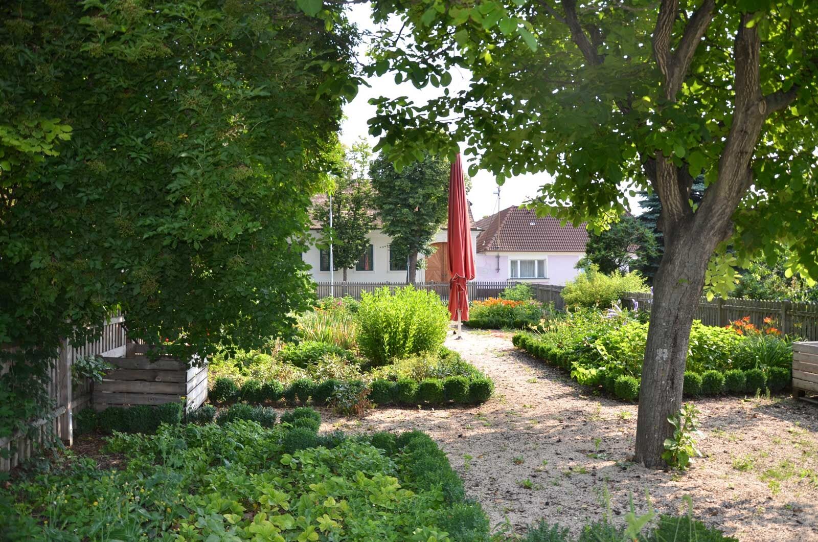
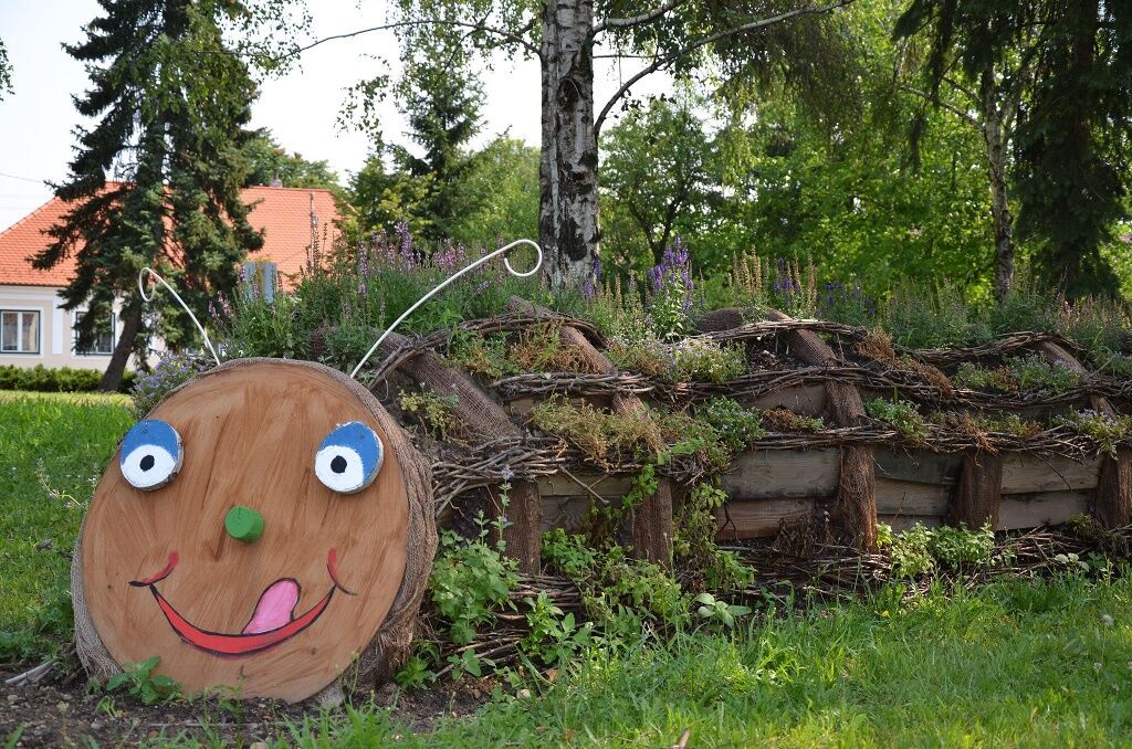
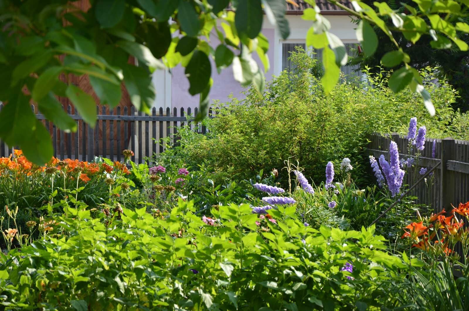
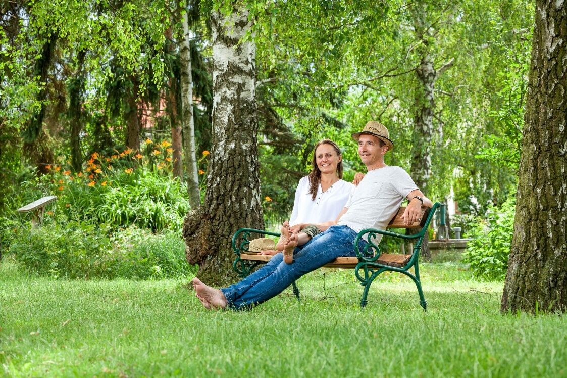

Rund um den Landbach im Unterretzbacher Dorfanger - vom Kräuter- und Nützlingsgarten über den naturnahen Zwetschkengarten bis hin zum Duâ -u. Barfußgarten
Bus oder Bahn nach Unterretzbach
Unterretzbach, Ortszentrum
www.retzbach.gv.at
Uzyskaj wgląd
Zawsze na żywo z ponad 9 500 kamer internetowych. bergfex Jako użytkownik Pro, możesz teraz zobaczyć odpowiednie kamery internetowe dla wielu wycieczek w aplikacji wycieczki od. Pozwala to na bezpośredni podgląd aktualnych warunków.
Popularne wycieczki w okolicy
-
4,5
DAC Radtour-Weinviertel
średniJazda na rowerze 55,1 km -
4,4
Rundwanderung Nationalpark THAYATAL
światłoWędrówka 14,0 km -
4,2
»tut gut« Wanderweg Pulkau | Route 2
średniWędrówka 7,29 km -
5,0
Ruine Kaya - Thaya Aussichtspunkt
światłoWędrówka 6,82 km -
4,5
Kellergassenrundwanderweg
średniWędrówka 8,69 km -
4,5
Ruine Kaya
średniWędrówka 12,5 km -
3,5
Portugieser-Radtour
Jazda na rowerze 67 km -
5,0
Hardegger Warte
średniWędrówka 5,60 km -
2,6
Chardonnay-Radtour
Jazda na rowerze 33,5 km -
4,7
Über NP Thaya zu historischen Städten / Etappe 2 Retz - Znaim
światłoWędrówka 17,2 km
Wędrówki i tropienie


Nie przegap ofert i inspiracji na następne wakacje
Twój adres e-mail została dodana do listy mailingowej.





