







Wolfsgraben circular hike

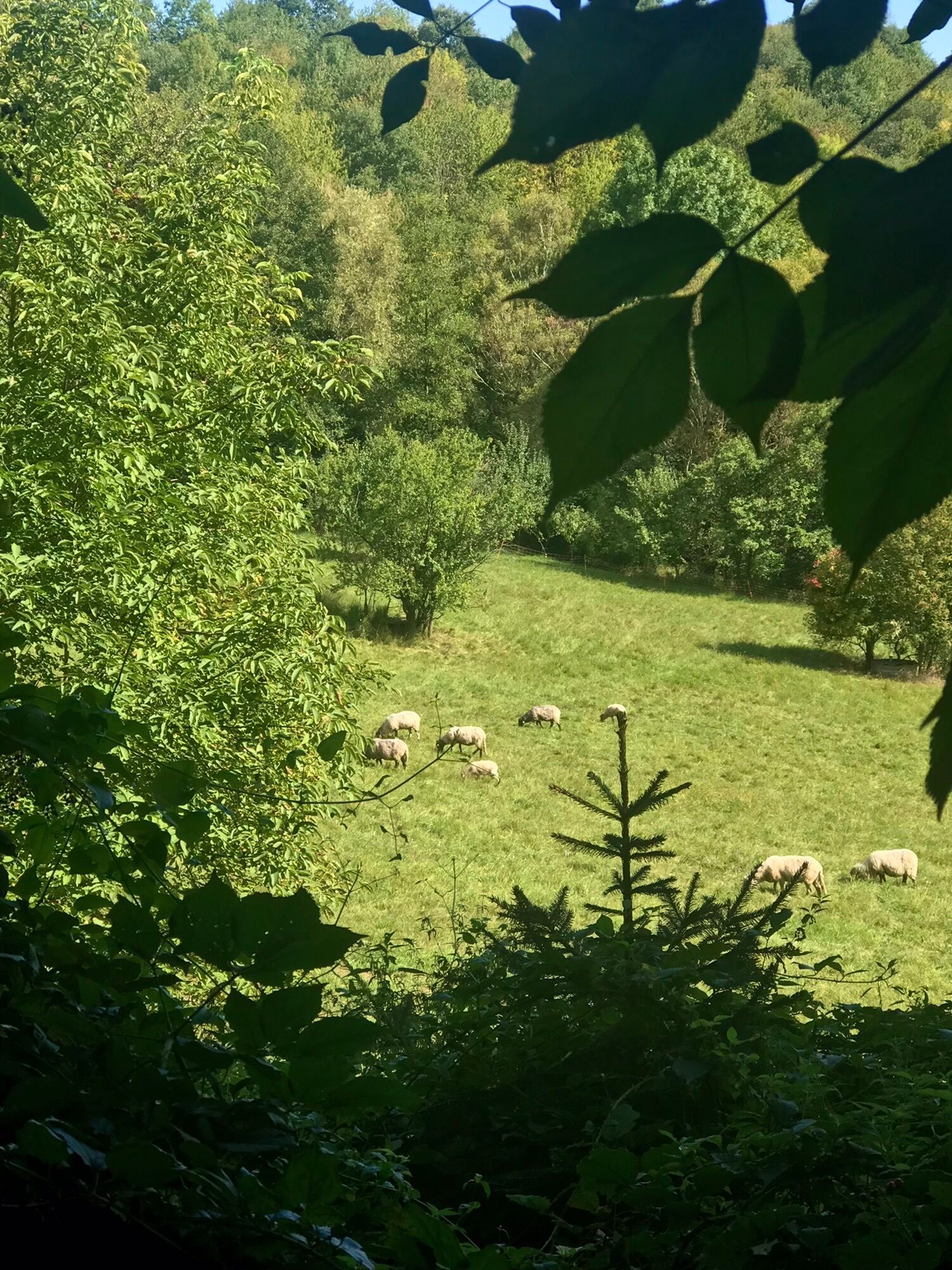
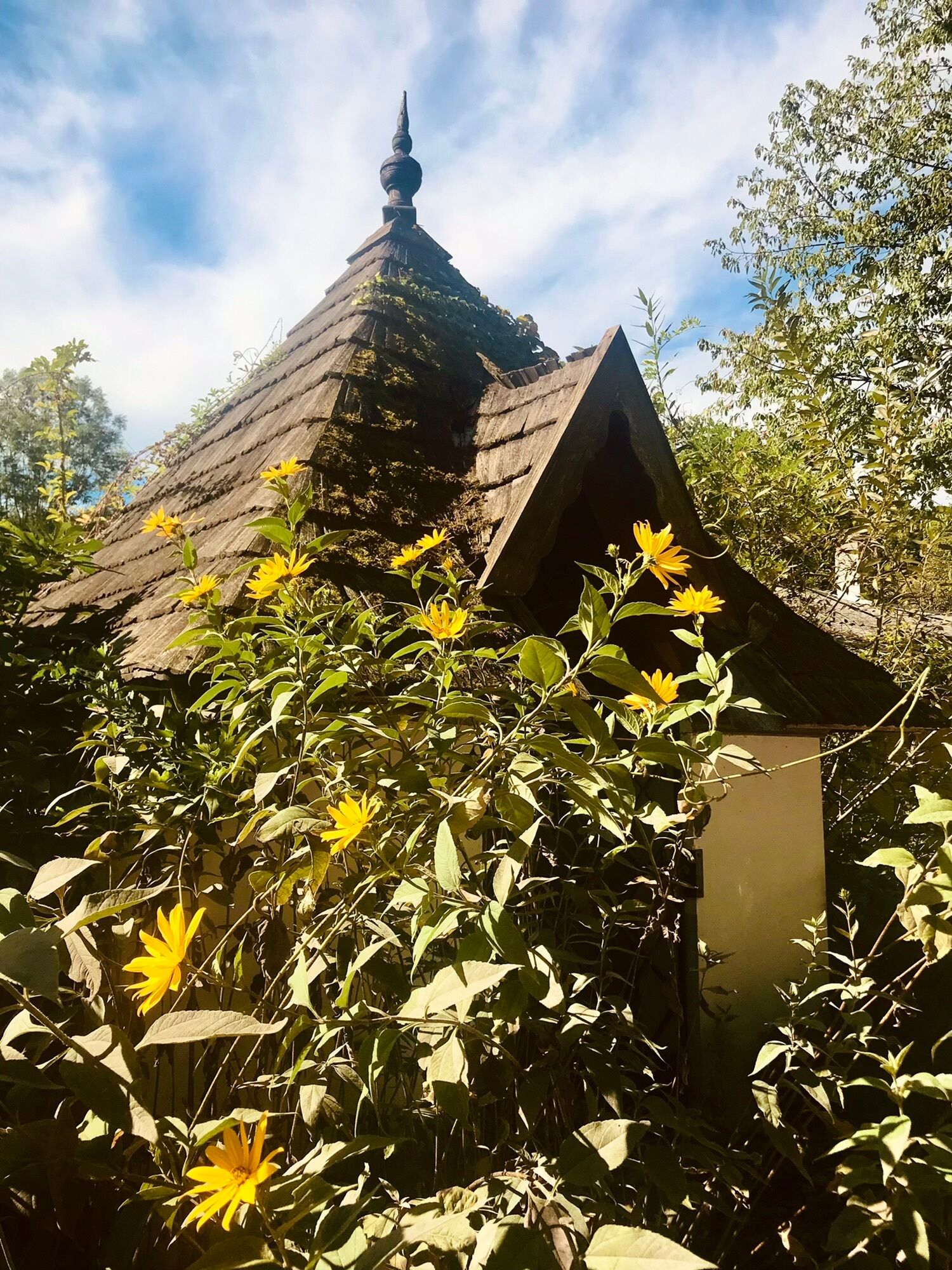
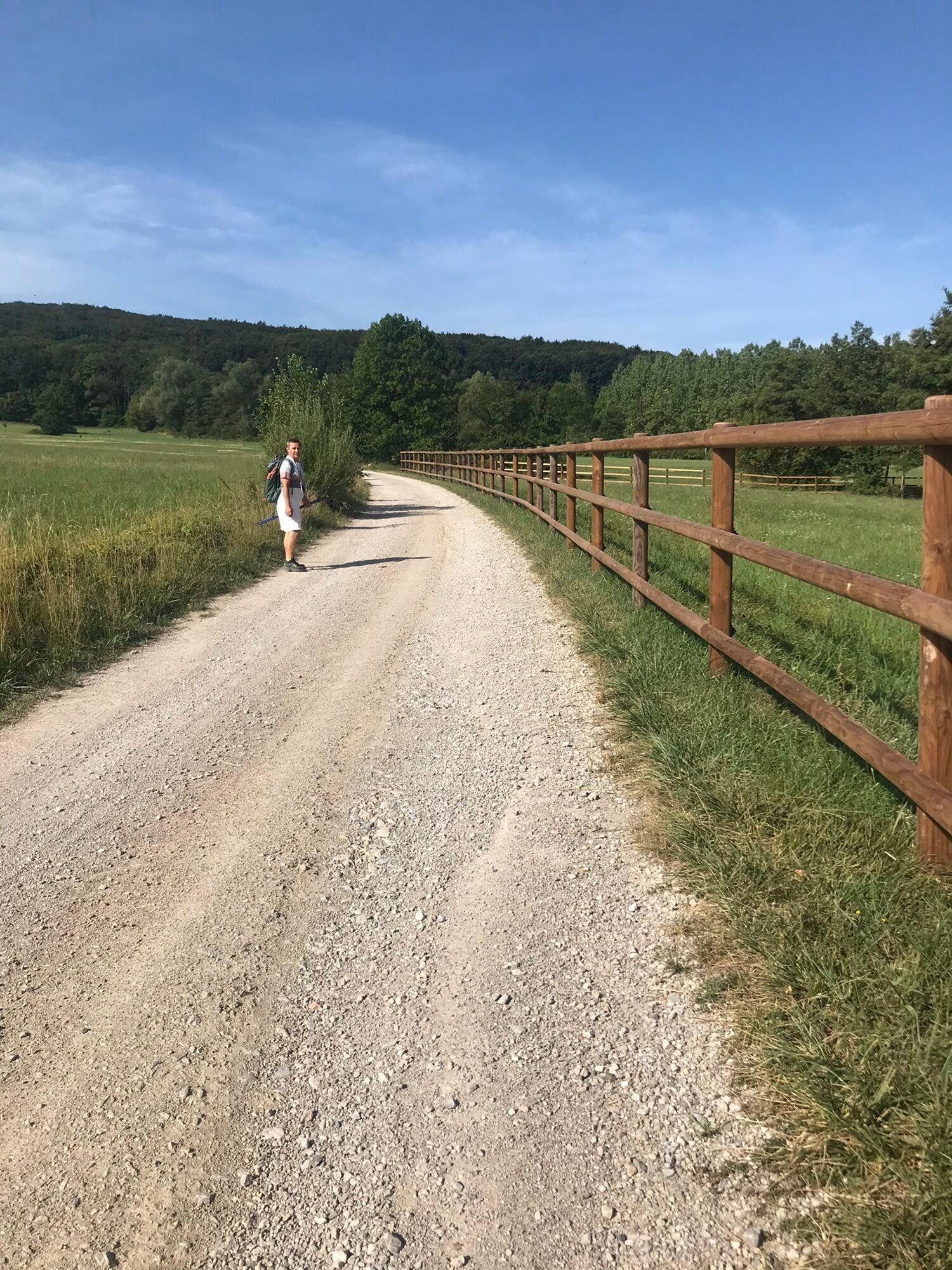
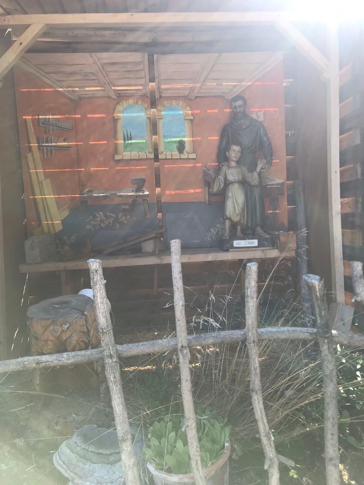
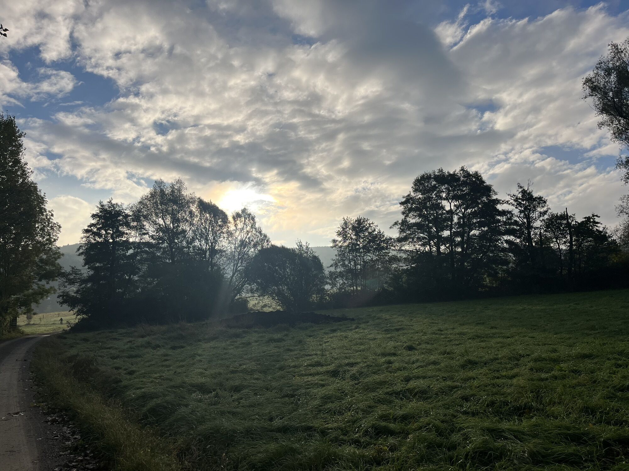
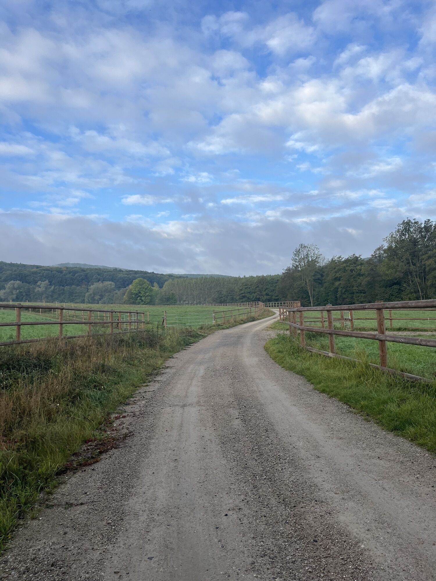
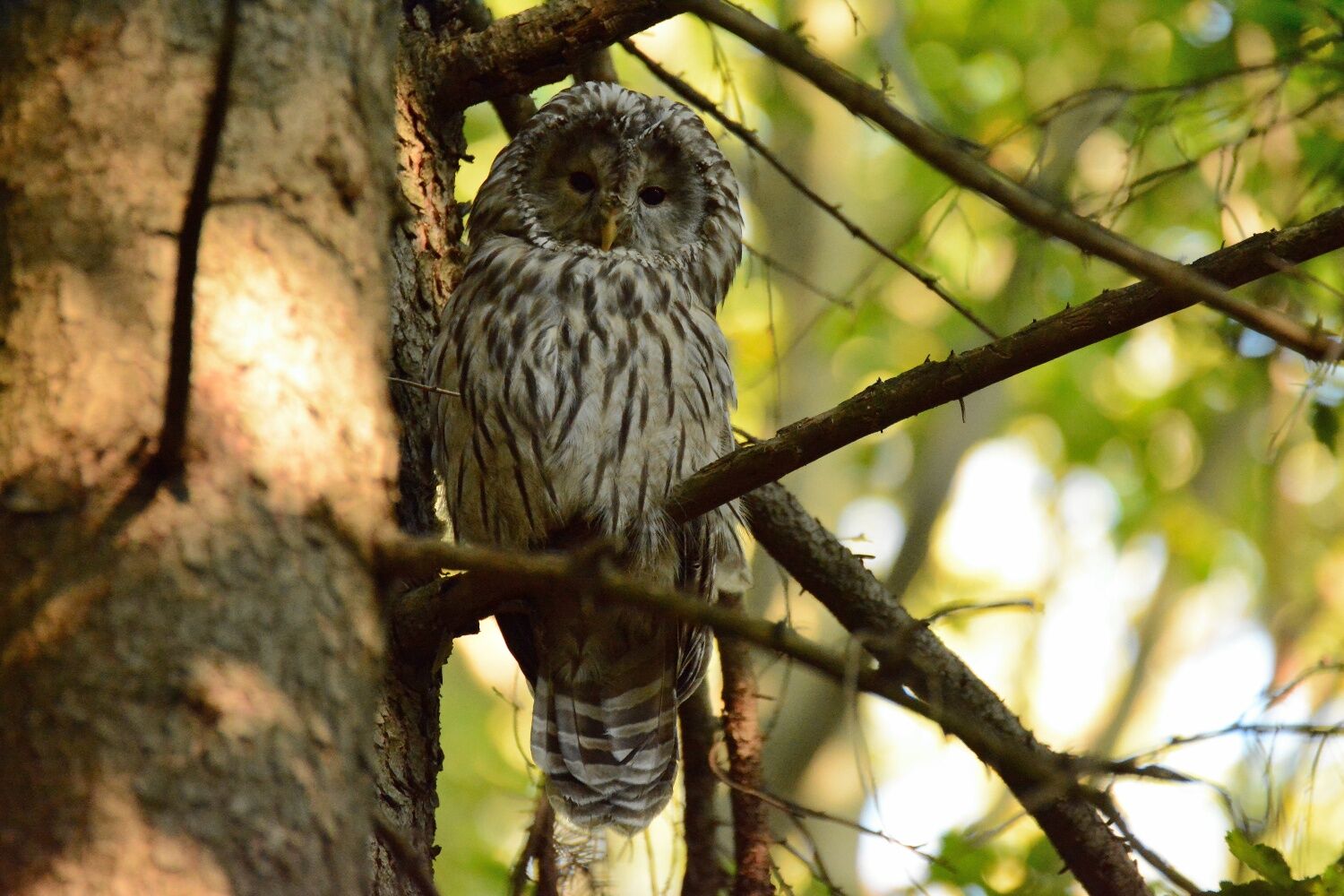
<p>Tip/Fun fact: If you hike through the Vienna Woods in the evening, you might be lucky to encounter Austria's second largest owl – the hawk owl! Since 2009, this once-native bird has been reintroduced here.</p>


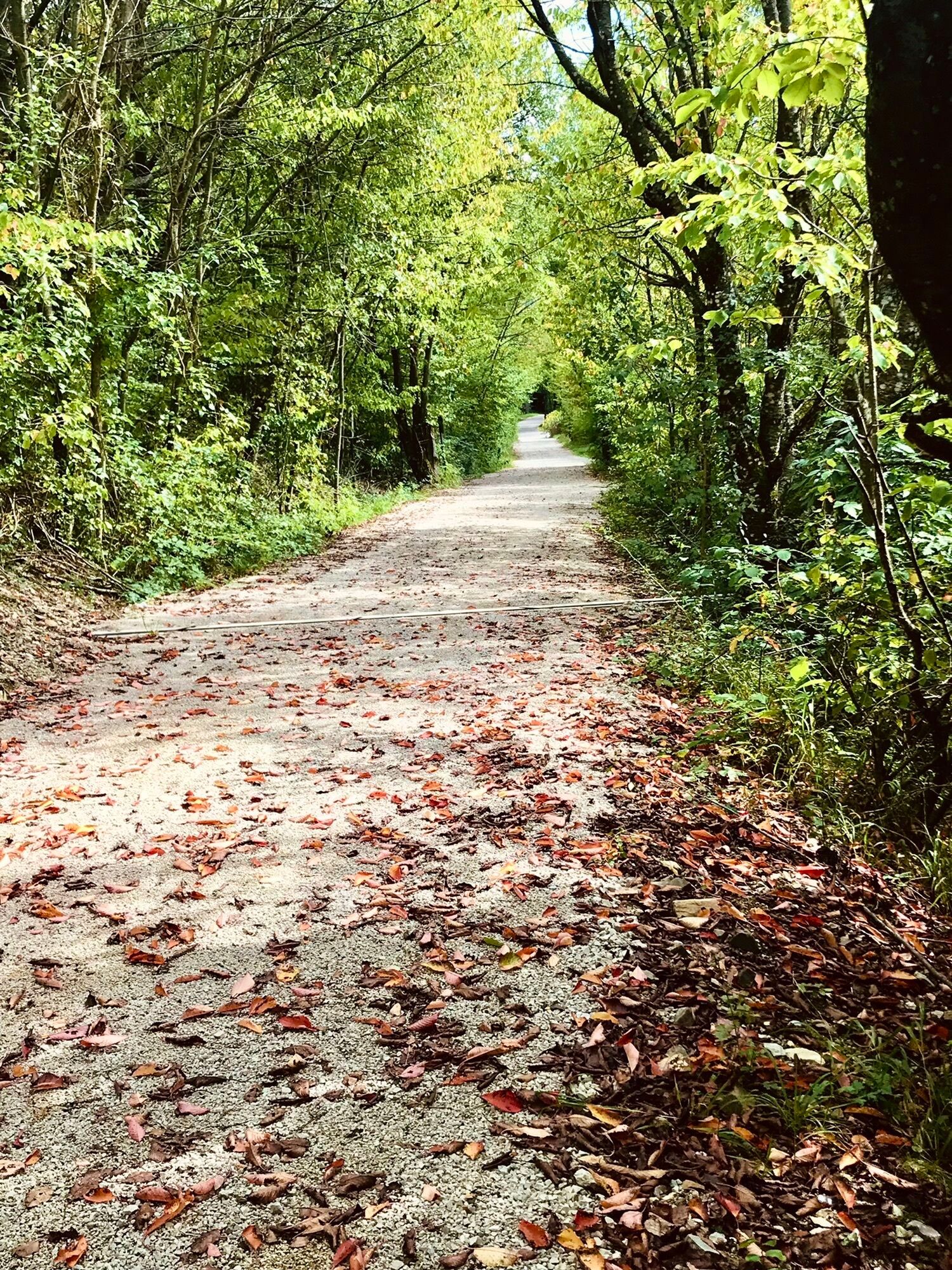
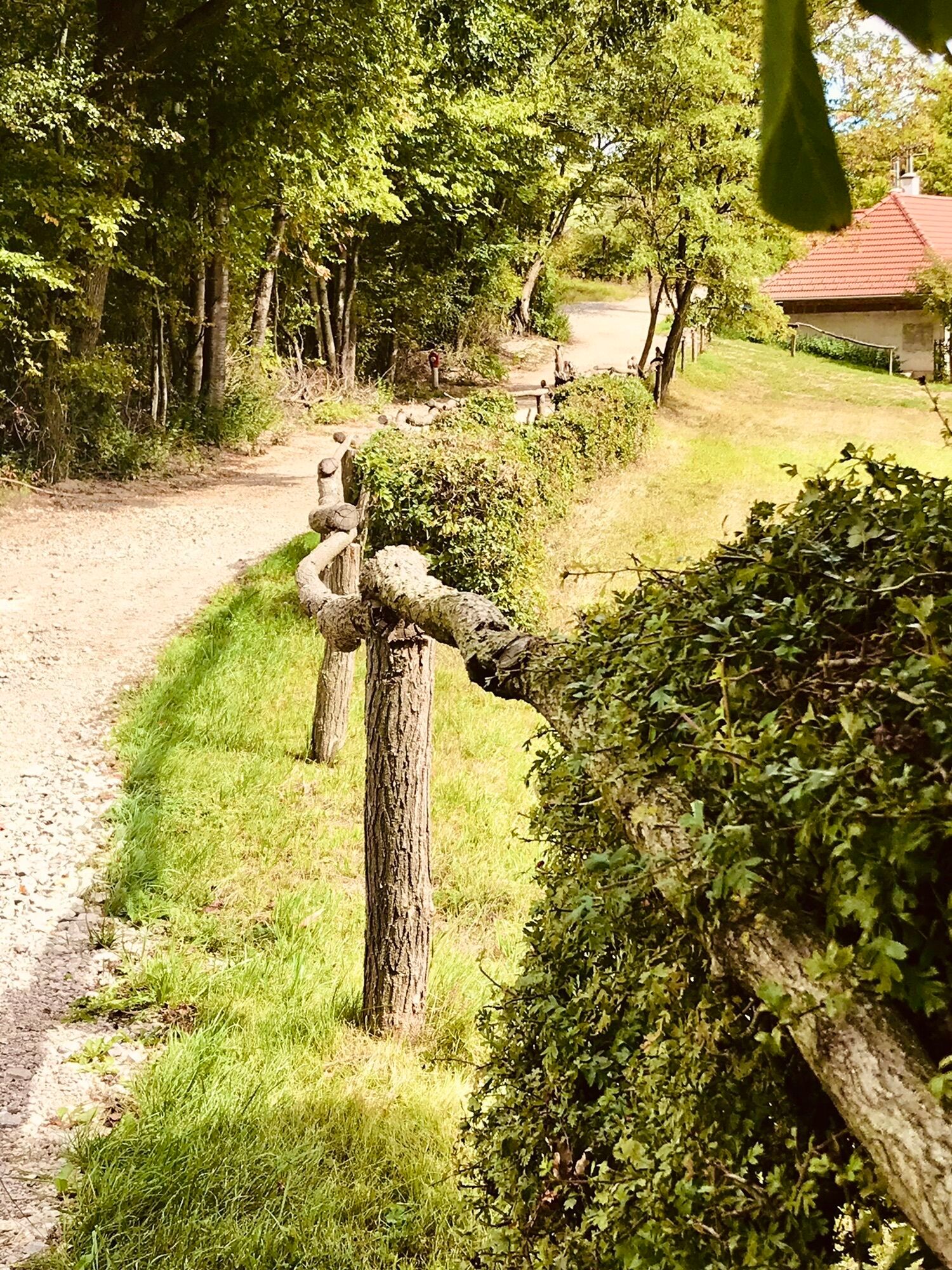
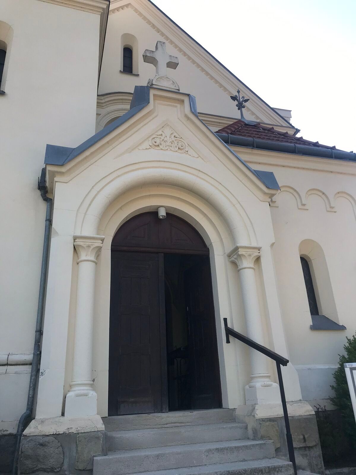
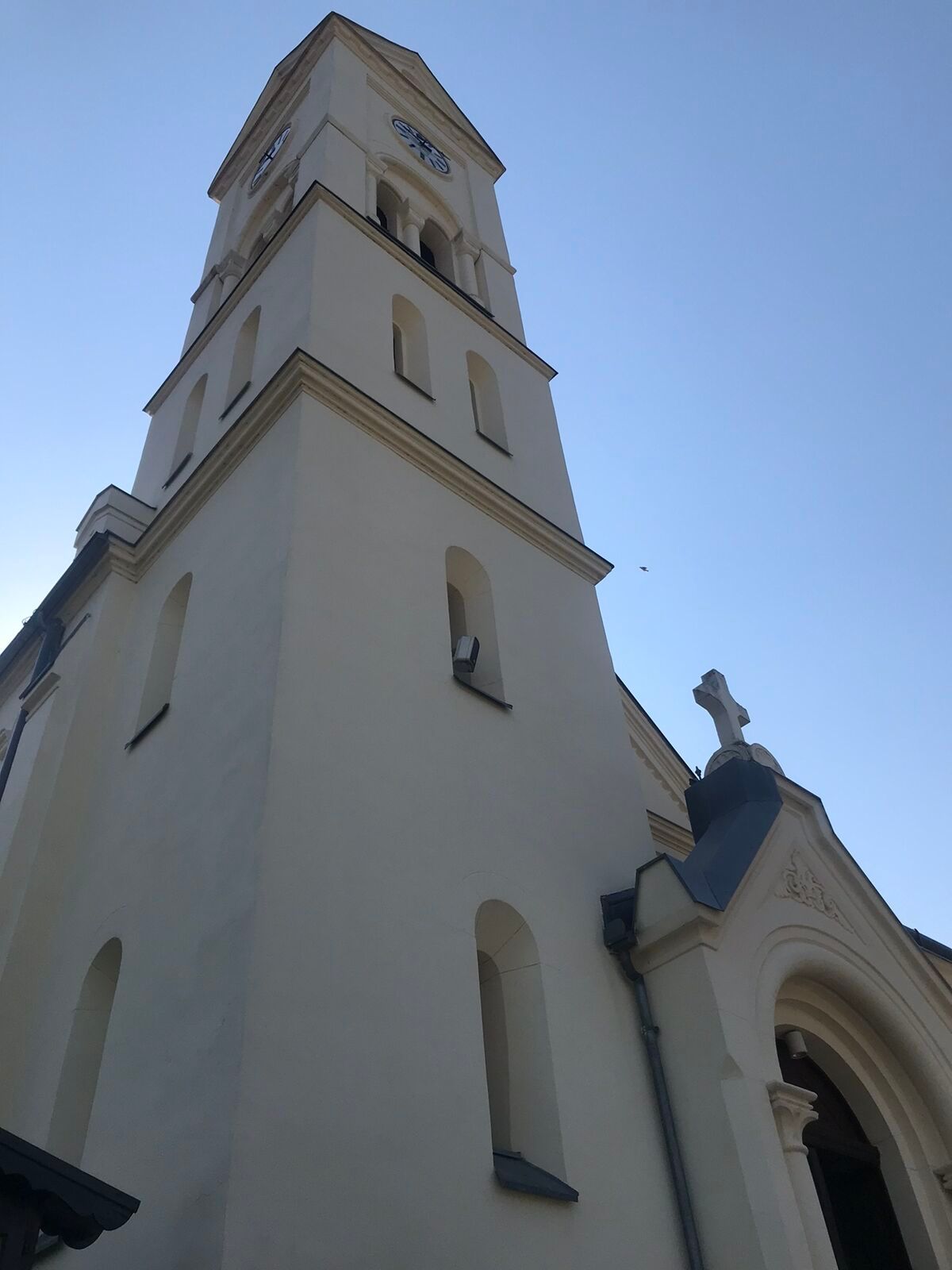
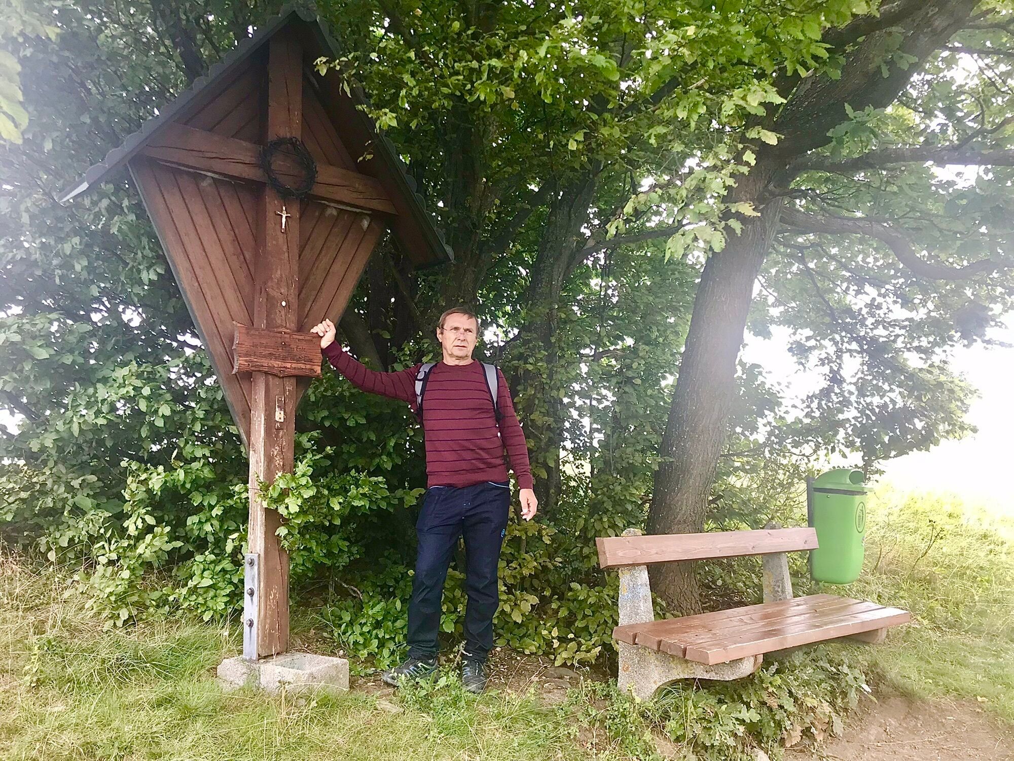
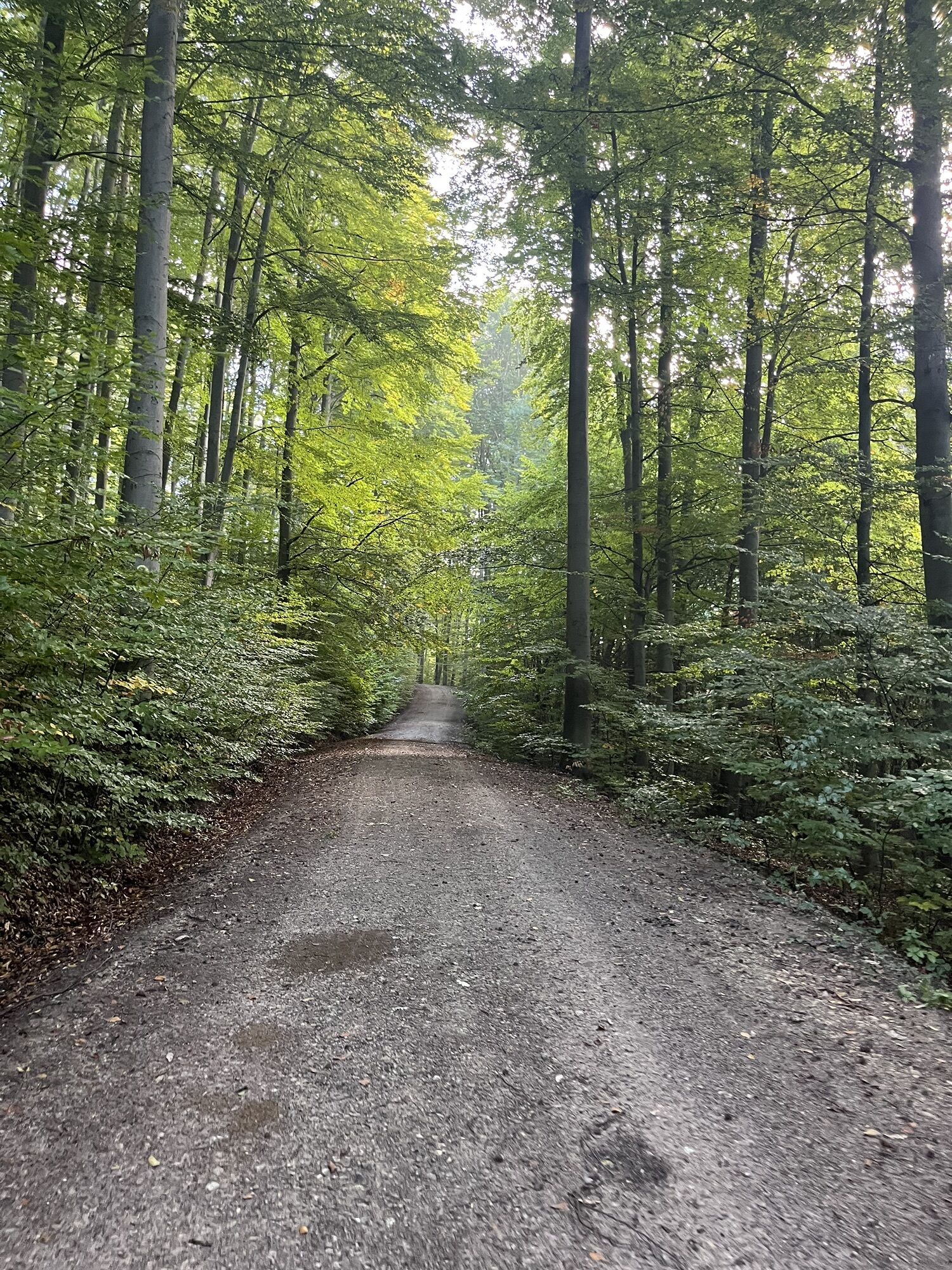
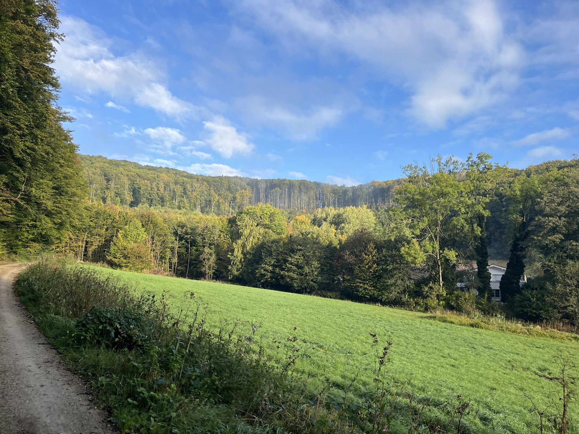
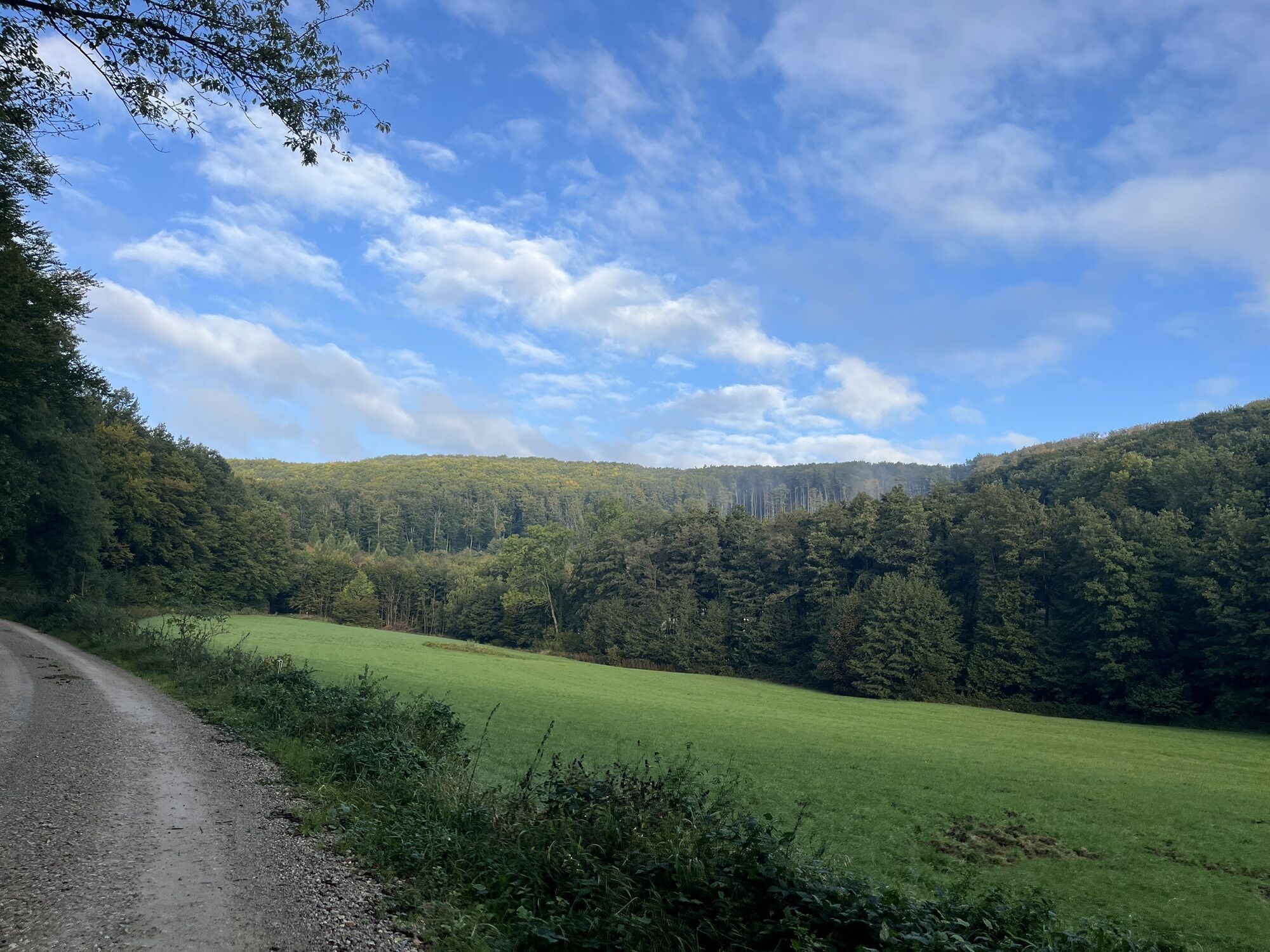
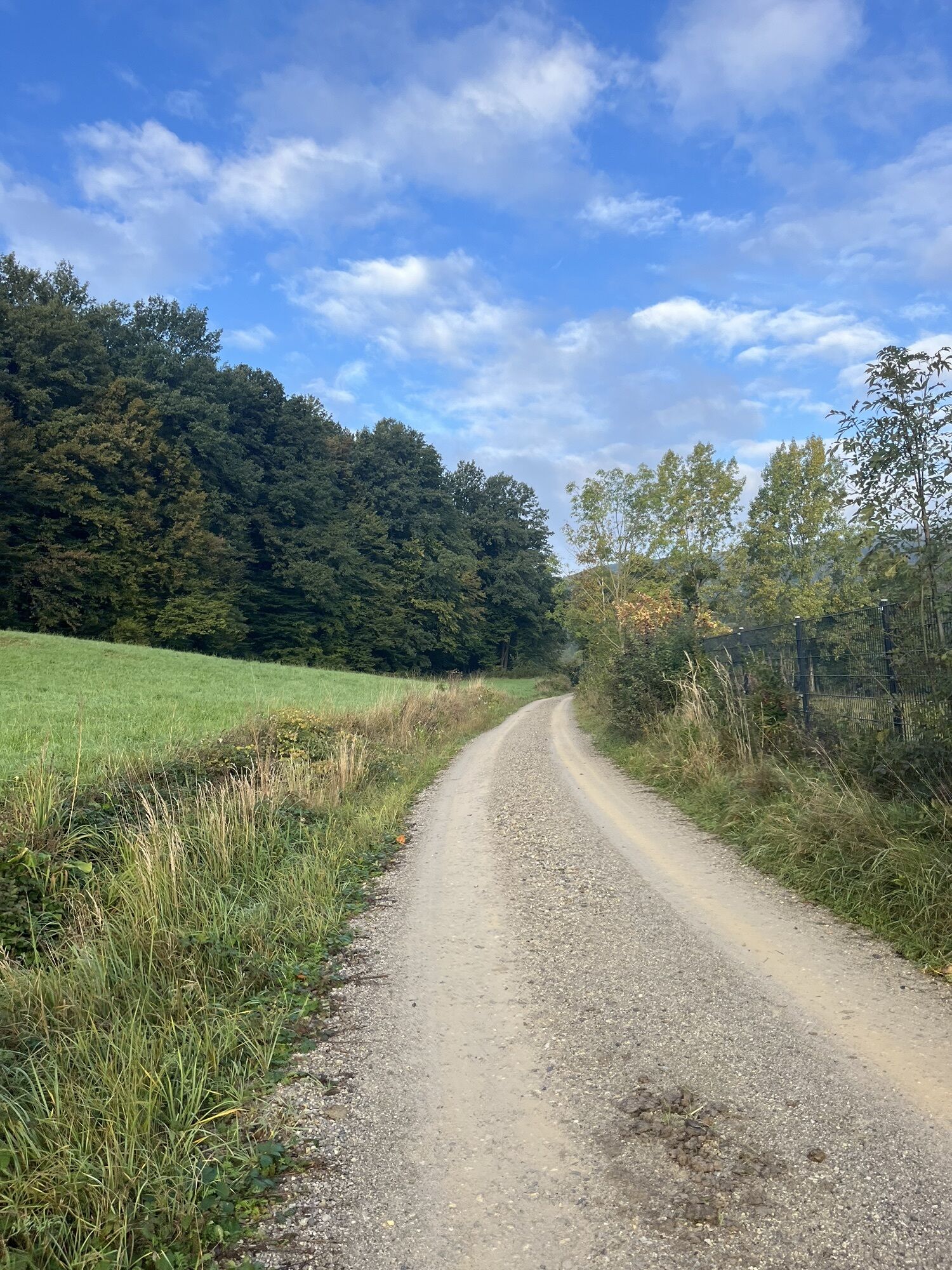
<p>We start our hike at the old municipal office, the K.K. Forest Office, and turn into Josef Hutterer Street. Then we go left into Pater Effenberger Street and continue uphill to Tabor Street. Then we follow hiking trail 4 (blue) to the first resting spot at Tabor. After Tabor, we leave the blue marking to the left towards the southeast and reach the last section of the hedge nature trail. We now walk to the intersection and then follow the marked Dreibergeroute (right). From the forest intersection, where we keep left (No. 1, red), it goes gently downhill. We turn left into Dreiberg Street towards the north and reach the main road and from there back to the K.K. Forest Office. Opposite our turnoff, near the church, there is a rest area with tables and benches. Even more comfortable is a stop at the beer garden of the “Dreimäderlhaus”.</p>
<p>Sturdy footwear, water, rain protection</p>
<p>Despite the most careful research, there may be unforeseen short-, medium- or even long-term closures on the routes (e.g. due to forestry closure areas by landowners). Parking options recommended by us may sometimes be private or subject to fees – please pay attention to the signage on site. Some paths may lead partially or entirely through fee-charging operations/areas (e.g., nature parks or gorges). However, this is usually explicitly pointed out in the description. All information is given without guarantee and use of the paths is at your own risk. Any path closures as well as notices from hunting and landowners must be observed.</p>
<p>By bus to the stop "Wolfsgraben Church"</p>
<p>At the Wolfsgraben parish church</p>
Wienerwald Tourism GmbH
Hauptplatz 11, 3002 Purkersdorf
Tel.: 02231/62176
E-mail: office@wienerwald.info
Website: www.wienerwald.info
Unfortunately, there are no gastronomy businesses directly on the route. However, you can continue a bit on the main road and stop at the Gasthaus Kramel - Dreimäderlhaus.
Updated on: 11.11.2020
Popularne wycieczki w okolicy
-
4,8
Kalenderberg und Burg Liechtenstein
światłoWędrówka 8,48 km -
4,6
Abend/Nachtwanderung Teufelstein
światłoWędrówka 7,15 km -
4,6
Naturpark Sparbach
światłoWędrówka 7,08 km -
4,6
Stadtwanderweg 6 / Zugberg - Maurer Wald (lt. Beschilderung)
światłoWędrówka 13,3 km -
4,6
Landschaftspark Liechtenstein - Angelos Touren
światłoWędrówka 6,70 km -
4,6
Panorama hike Hafnerberg
światłoWędrówka 8,78 km -
4,6
Stadtwanderweg 4
światłoWędrówka 8,48 km -
4,6
Rundwanderung Gablitz Gemeindeamt - Troppberg - Rabenstein - Gablitz Gemeindeamt
światłoWędrówka 12 km -
4,8
Wienerwald: Vom Richardshof zum Husarentempel - Angelos Touren
światłoWędrówka 10,6 km -
4,4
Burg Mödling
światłoWędrówka 3,39 km
Wędrówki i tropienie


Nie przegap ofert i inspiracji na następne wakacje
Twój adres e-mail została dodana do listy mailingowej.





