







Troppberg Panorama route
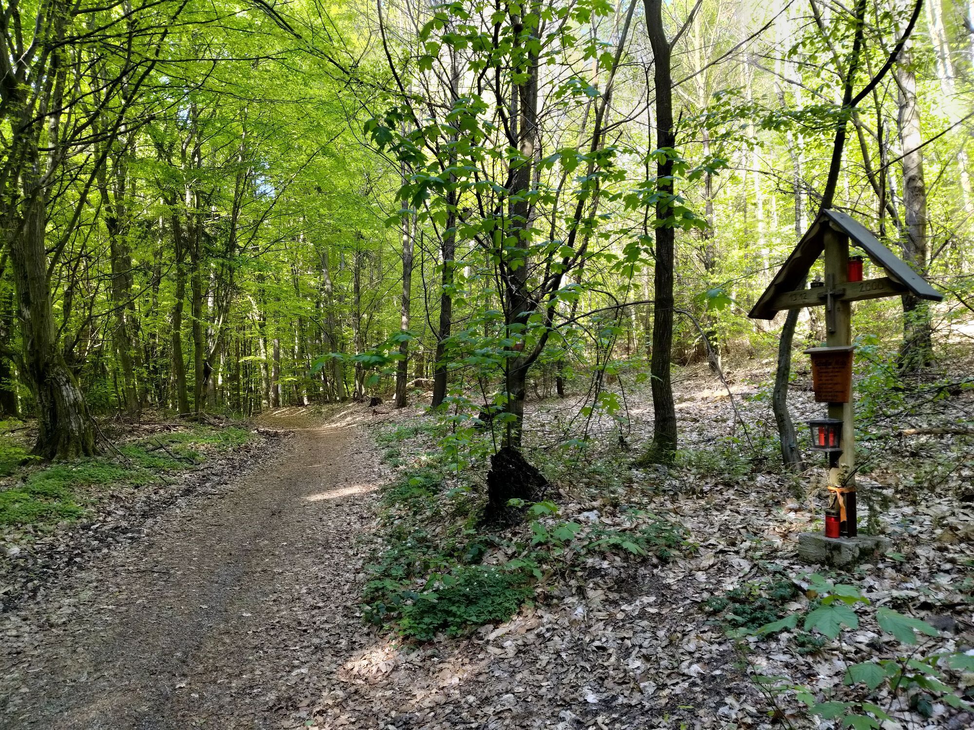
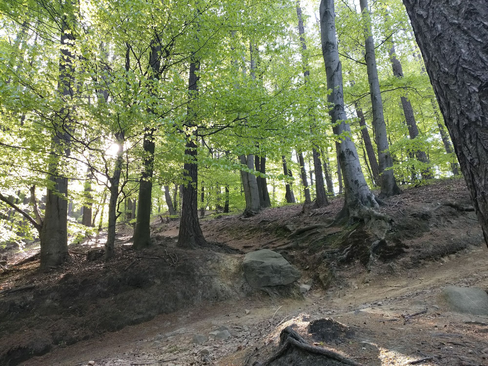
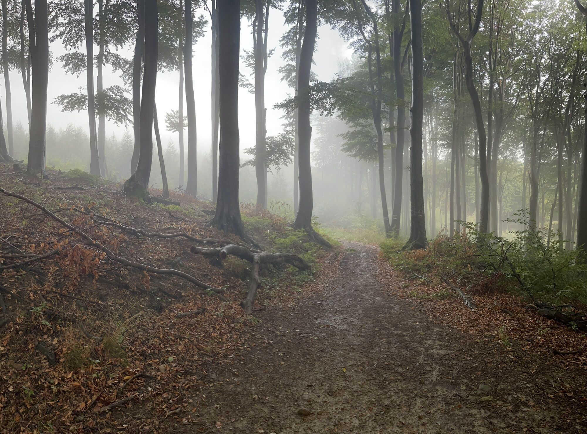
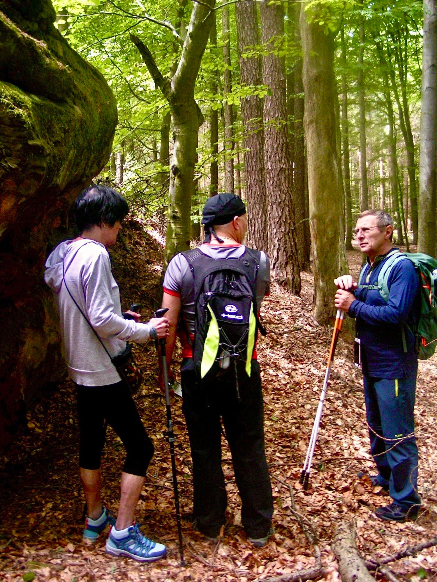
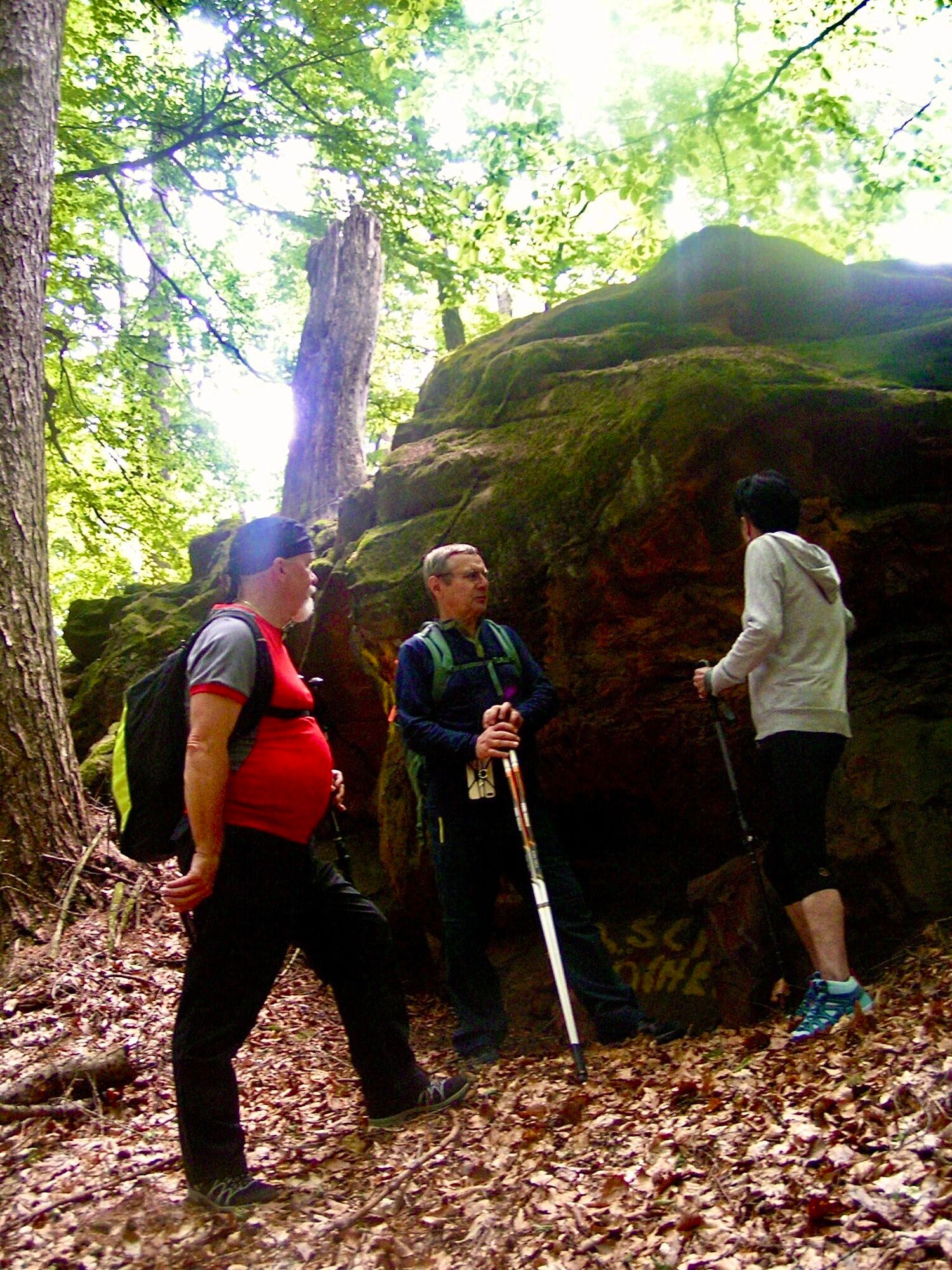
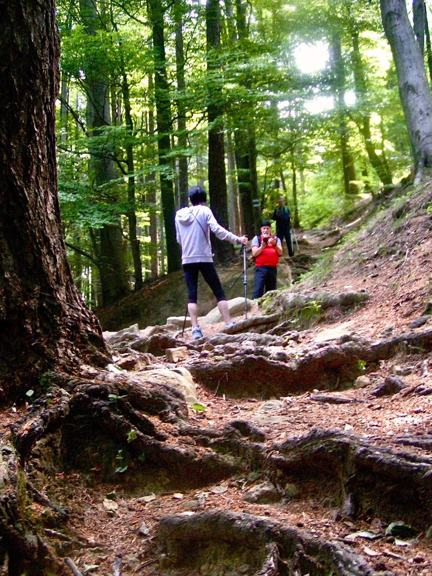
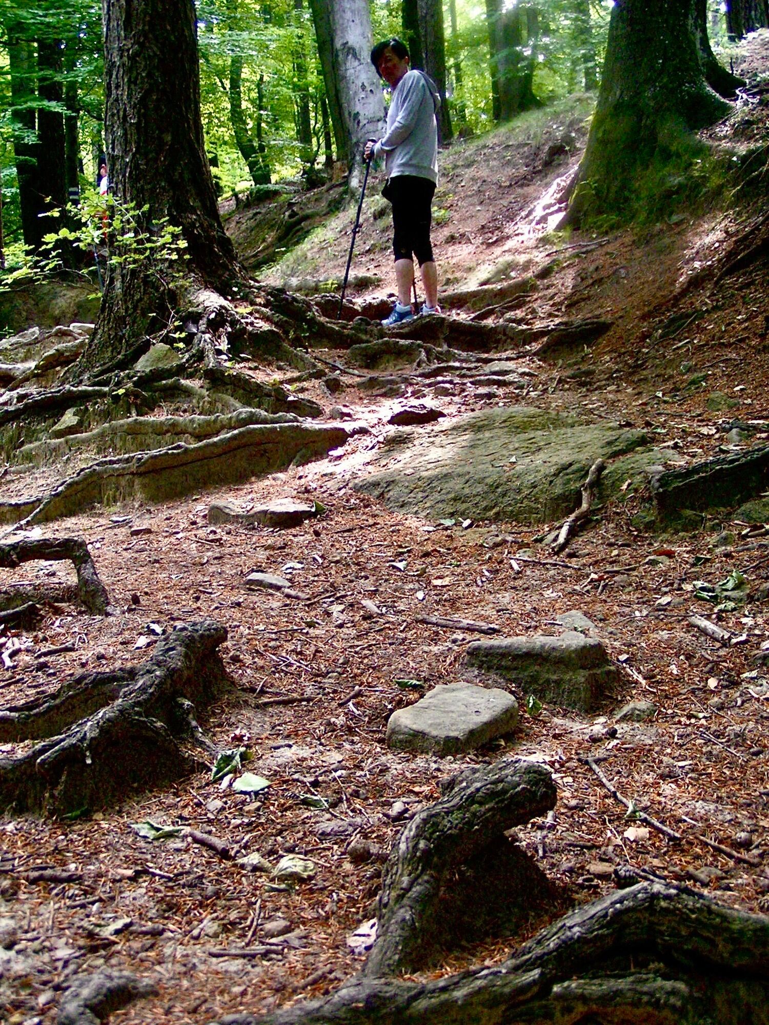
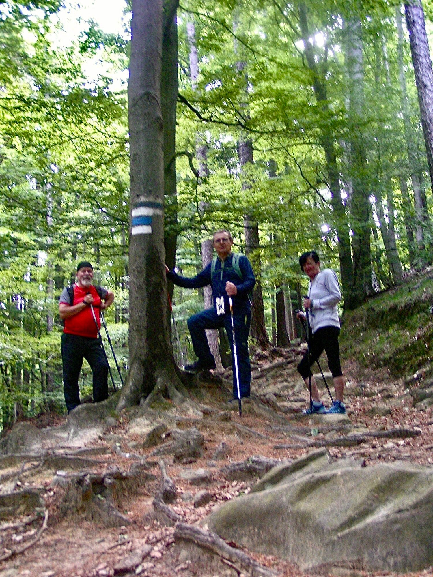
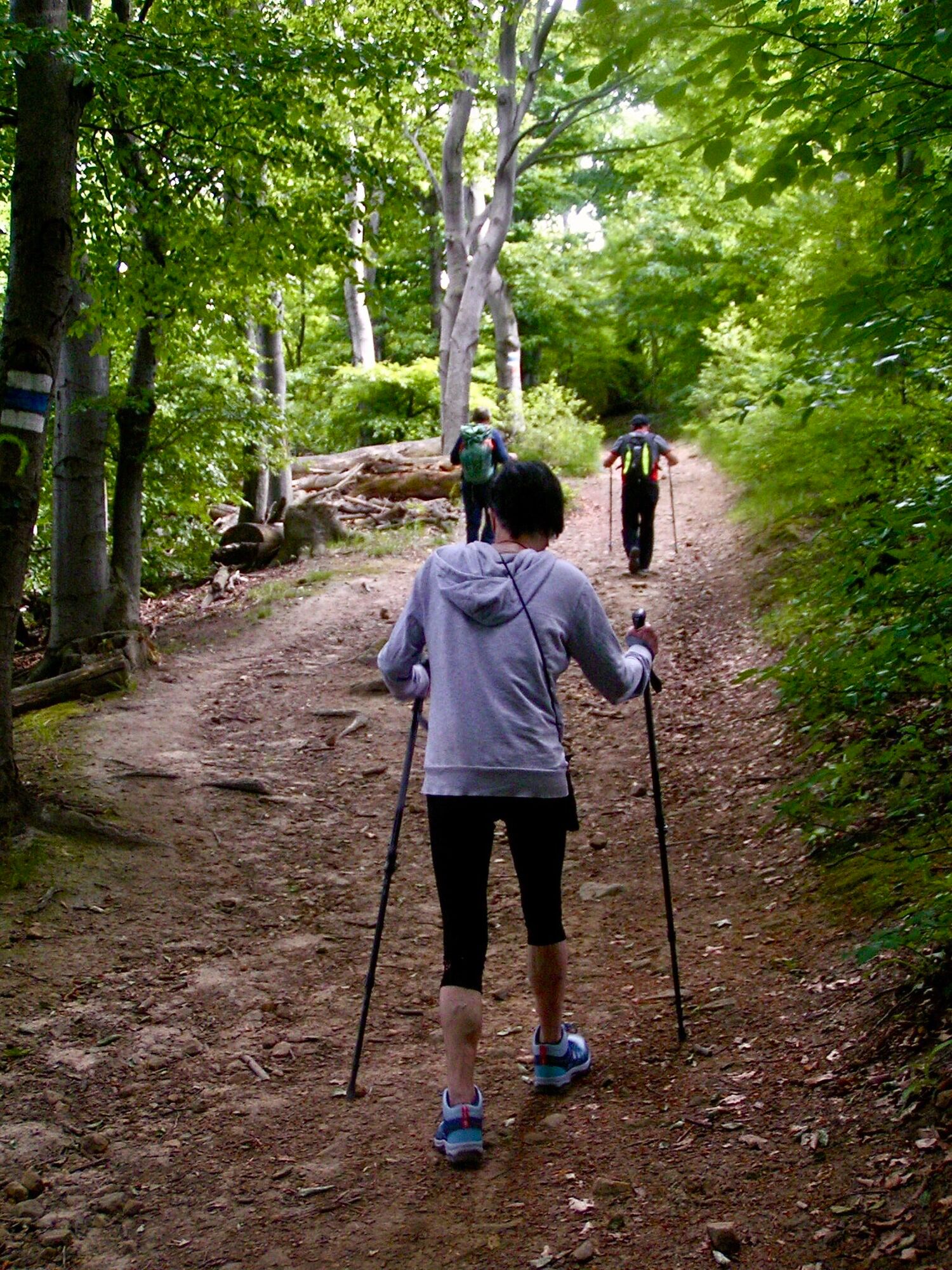
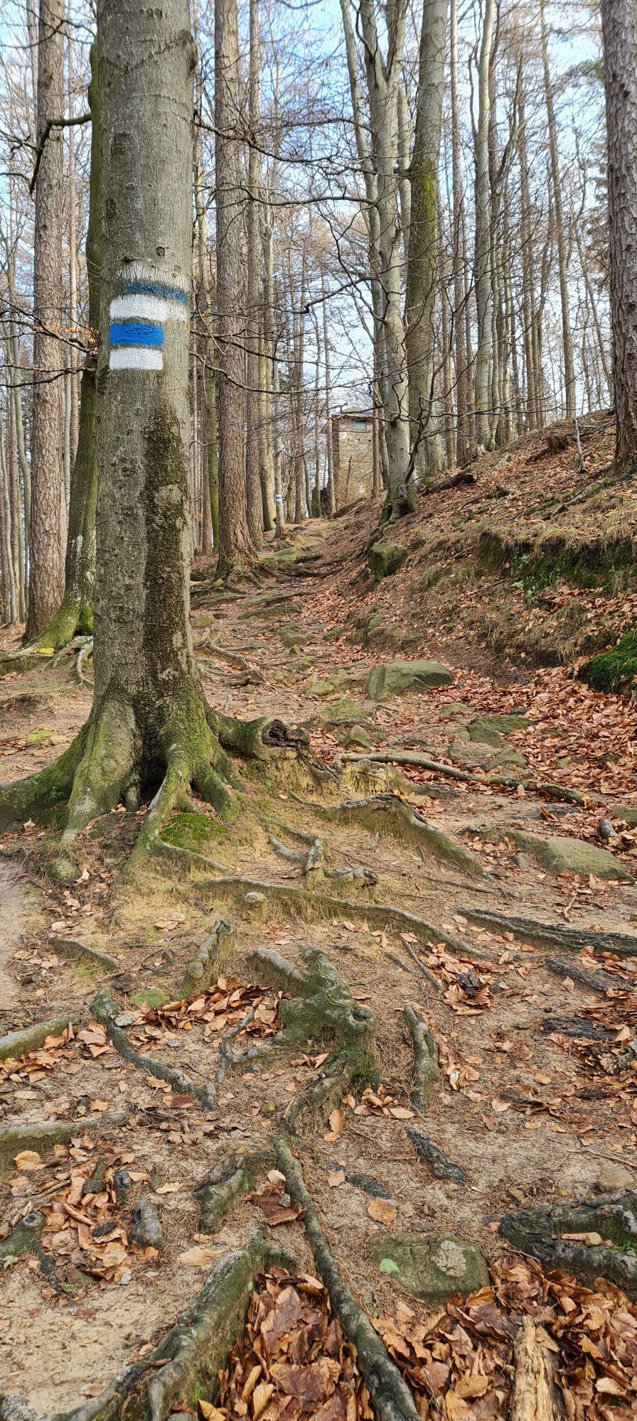
Tip/Fun fact: We hike through one of the 37 core zones of the BPWW. Here nature takes priority, ancient trees and deadwood provide a habitat for numerous species that have become rare.
<p>Tip/Fun fact: We hike through one of the 37 core zones of the BPWW. Here nature takes priority, ancient trees and deadwood provide a habitat for numerous species that have become rare.</p>

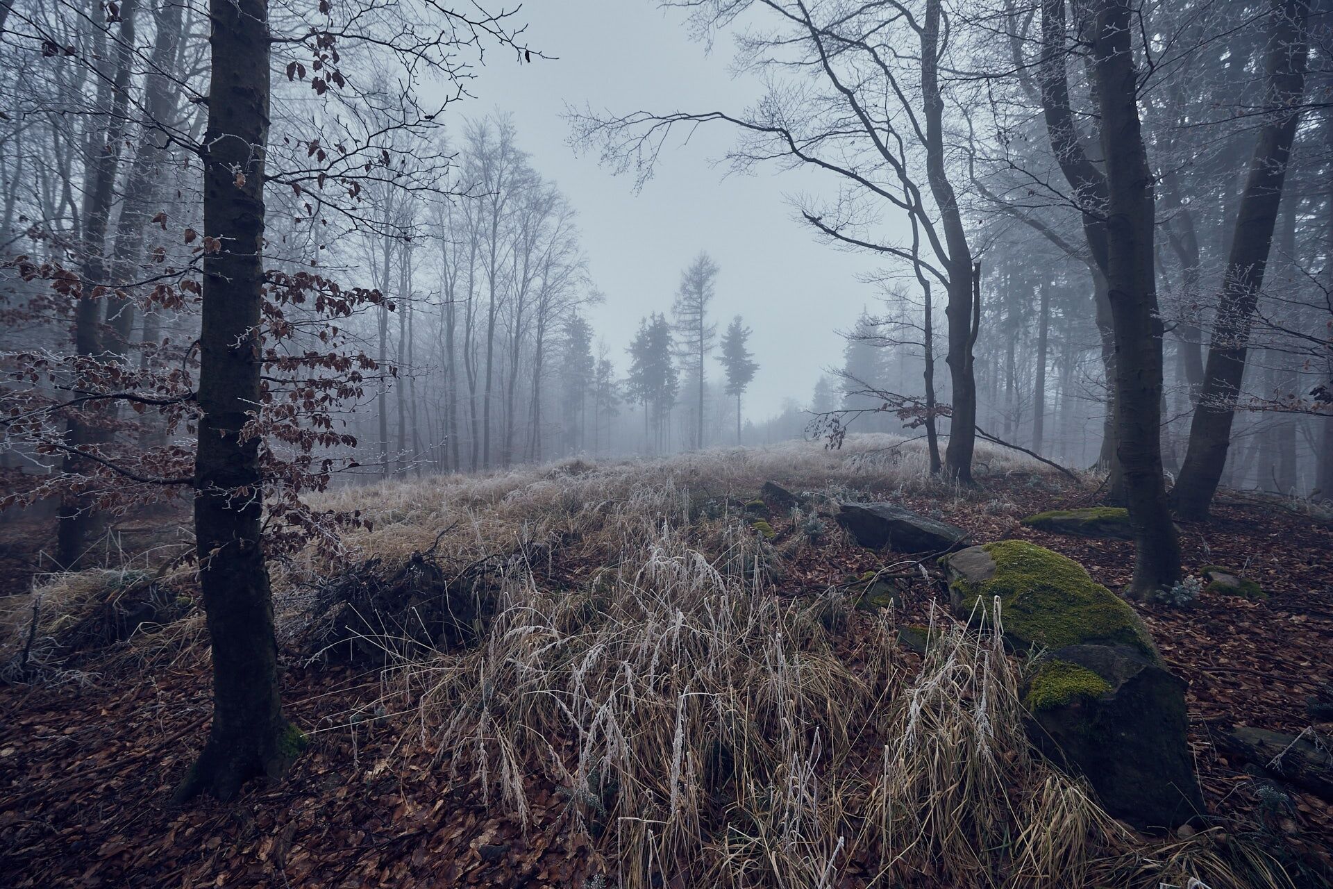
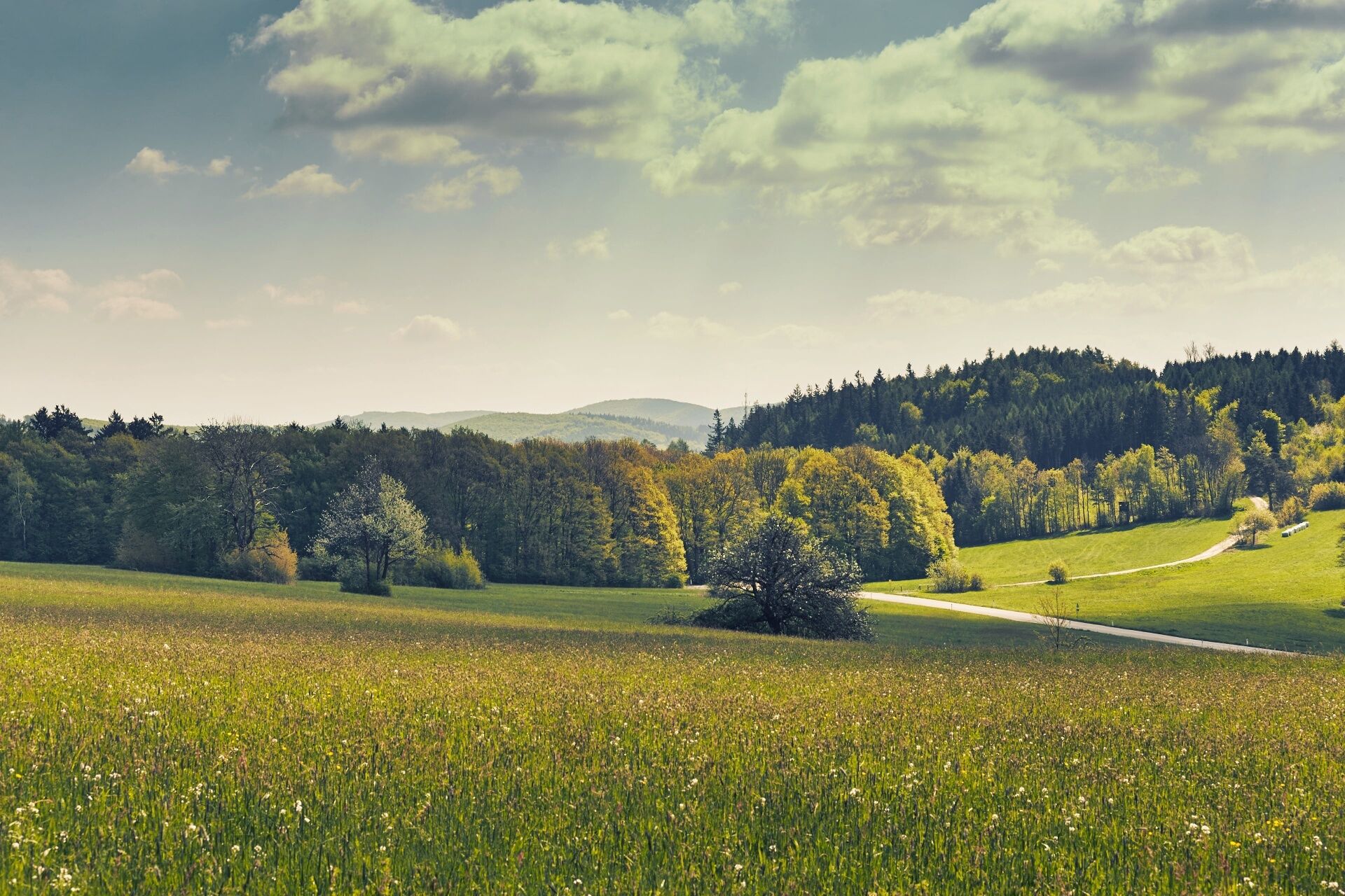

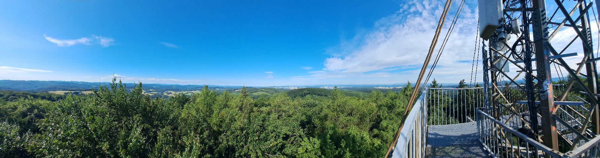
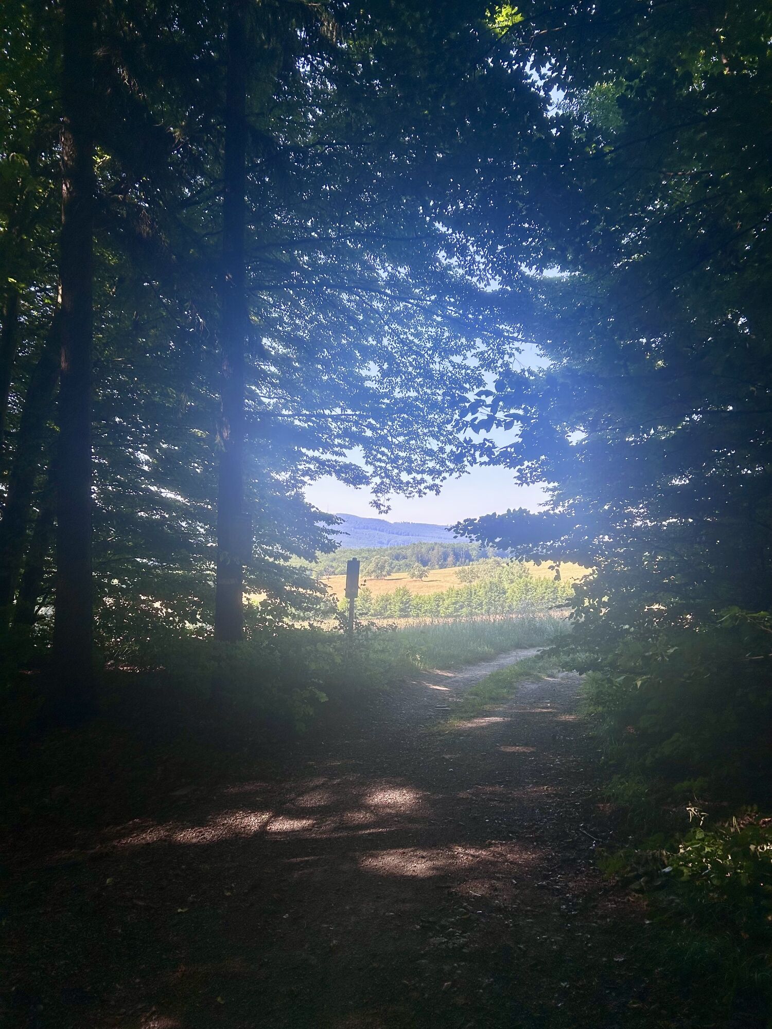
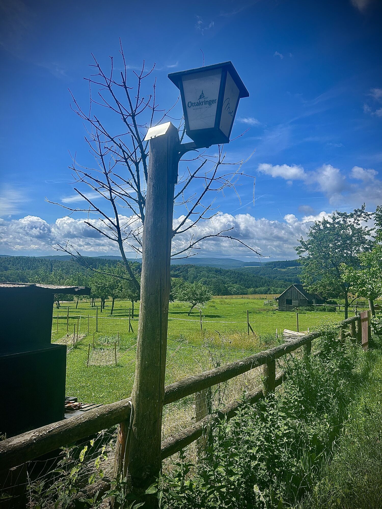
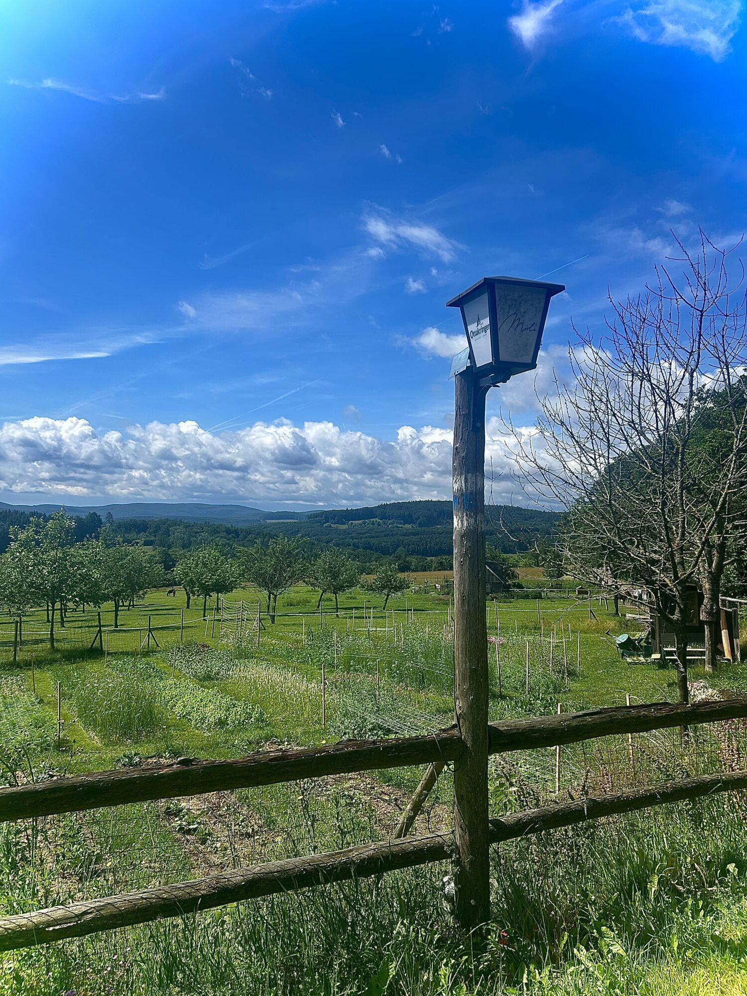
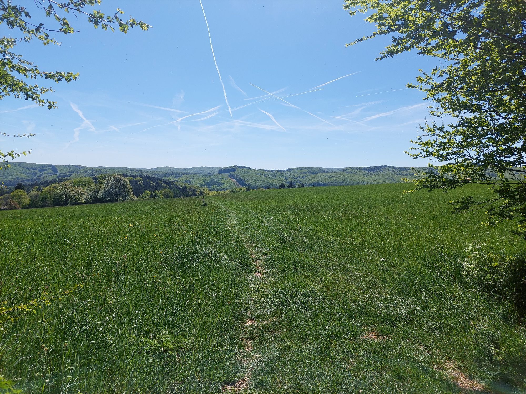
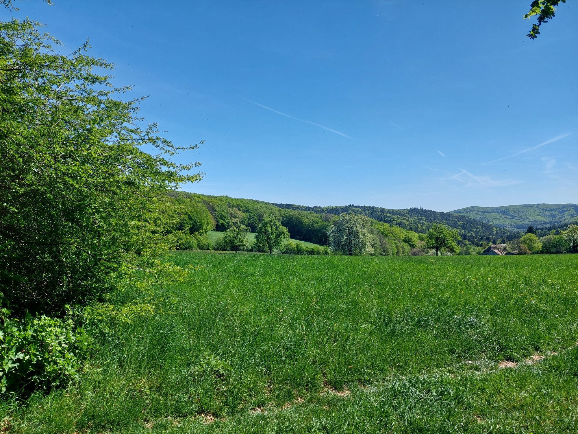
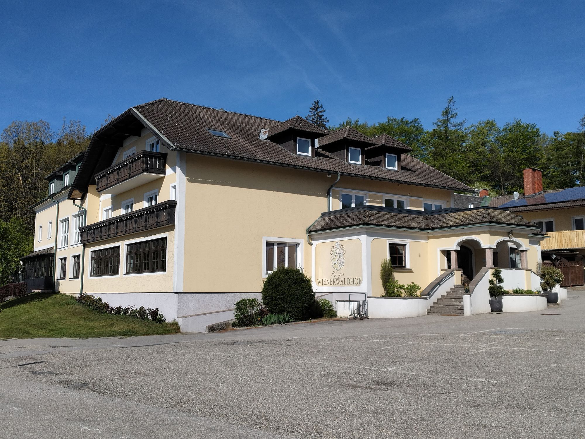
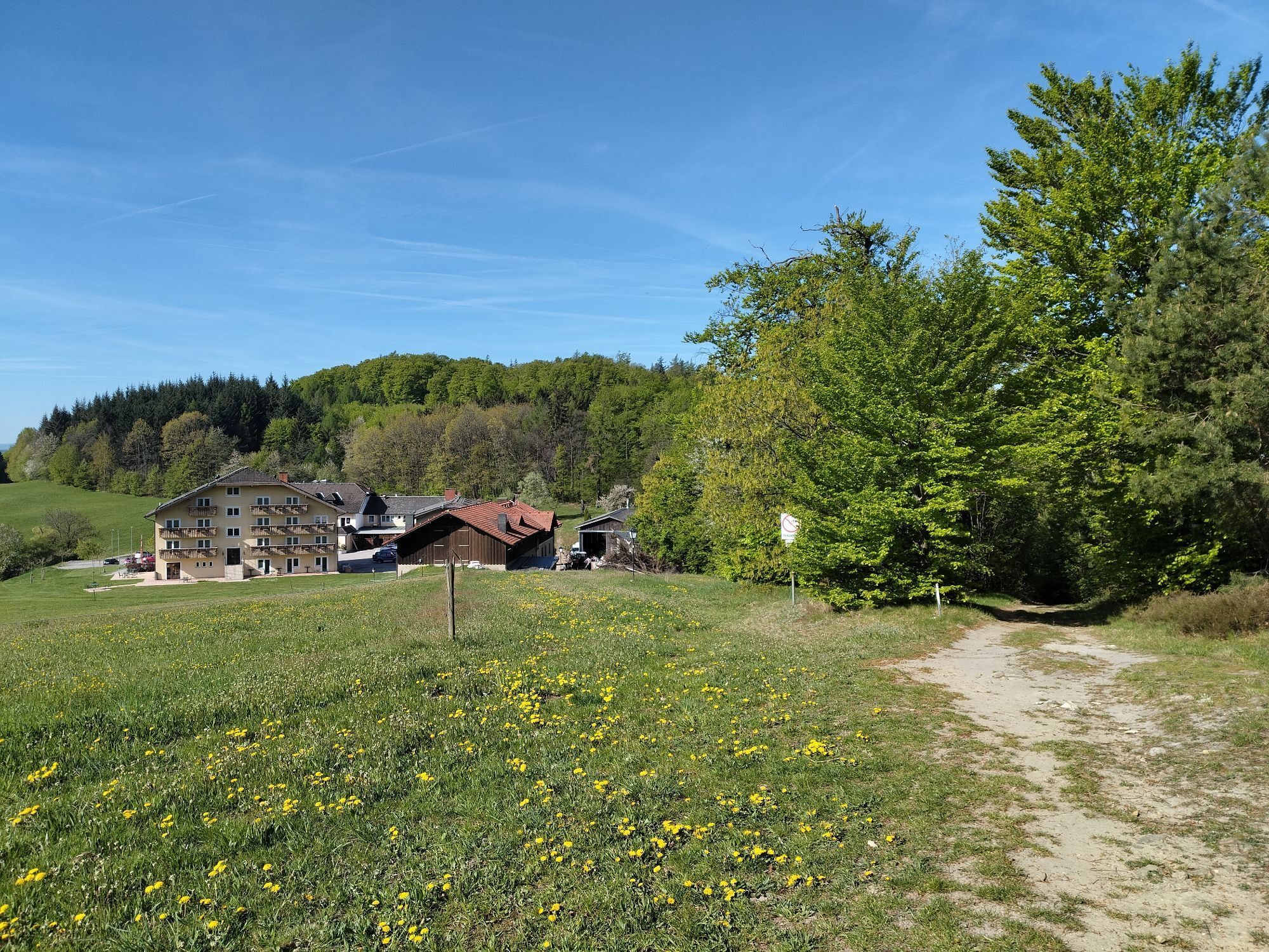
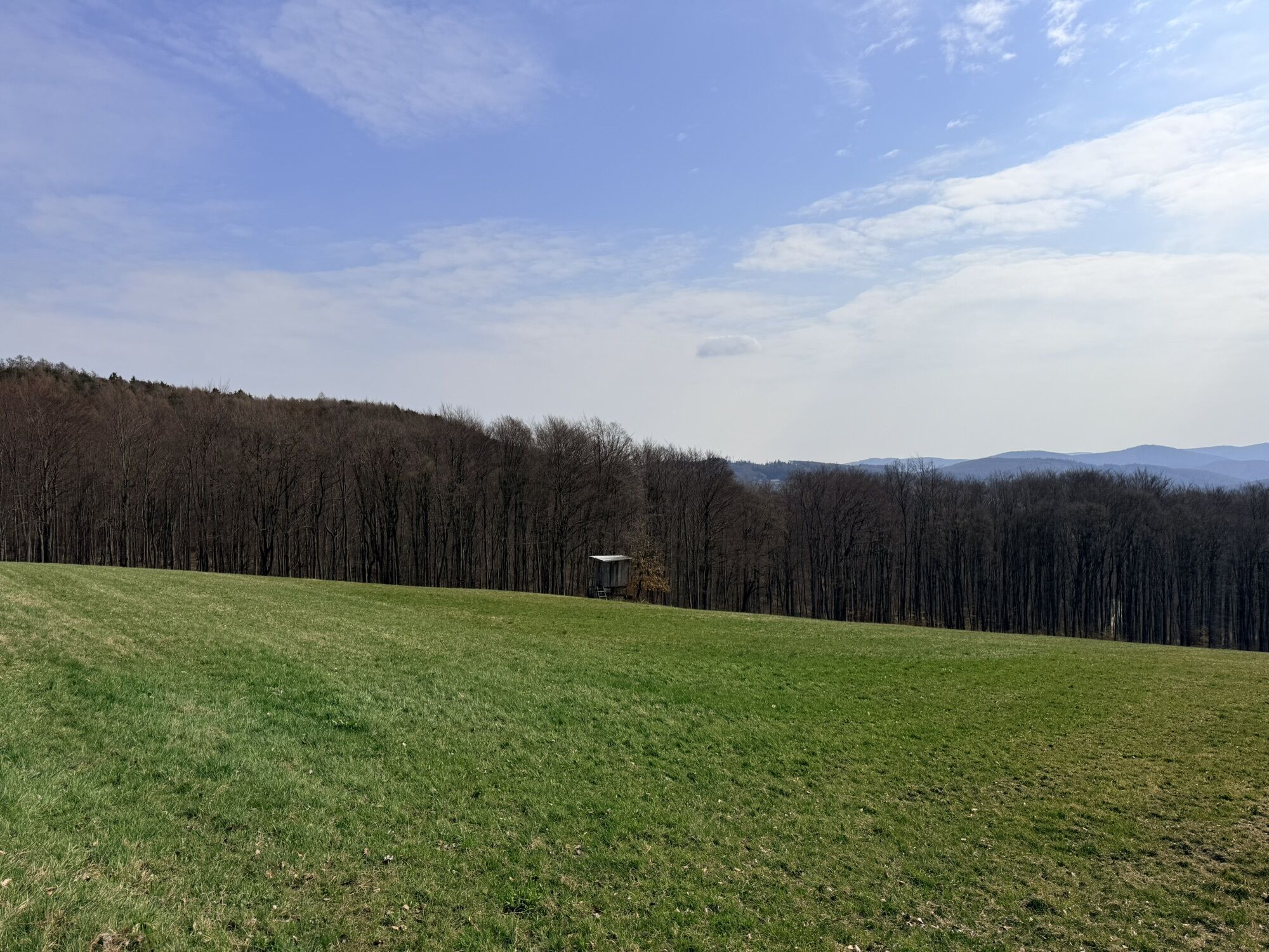
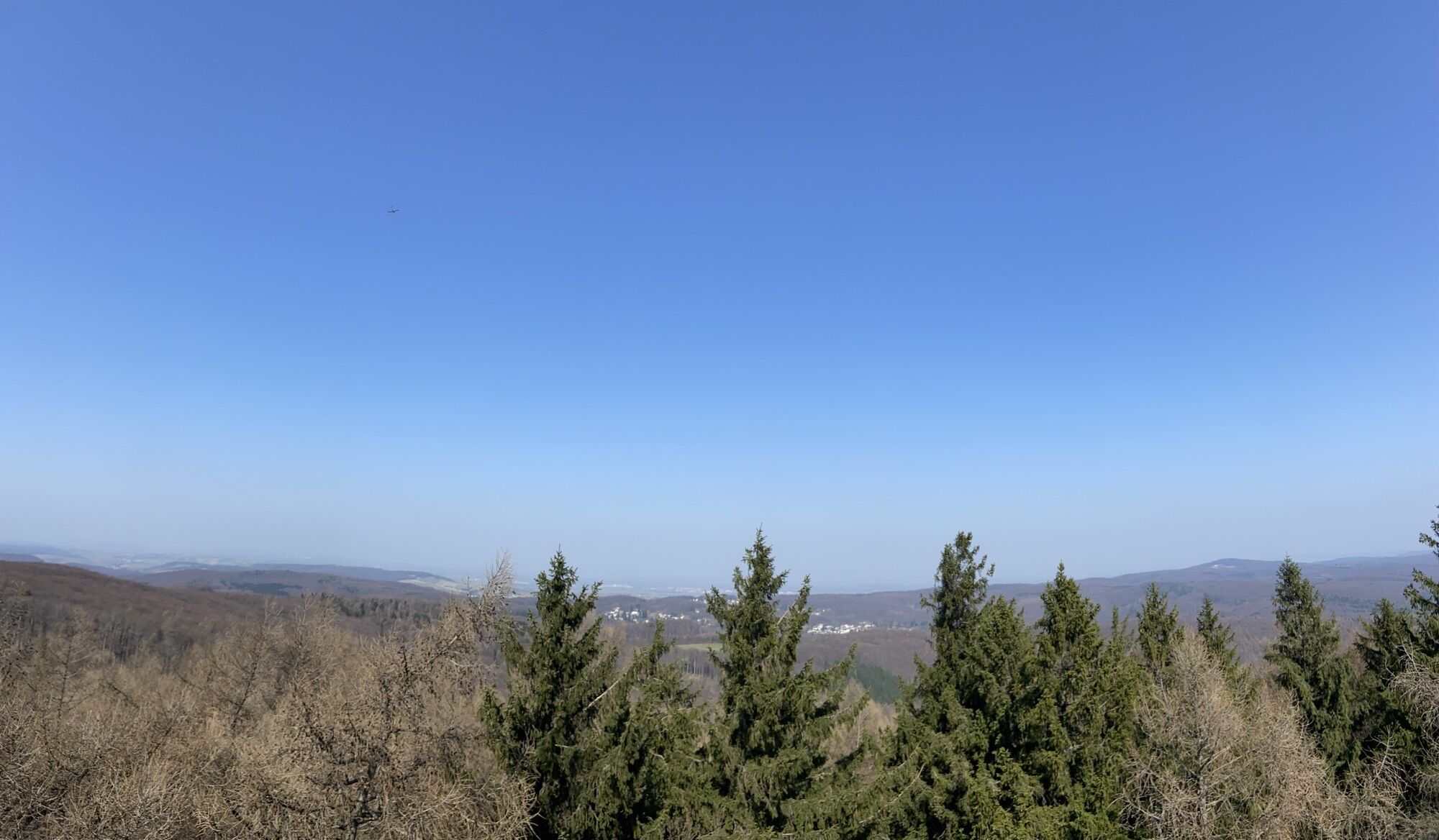
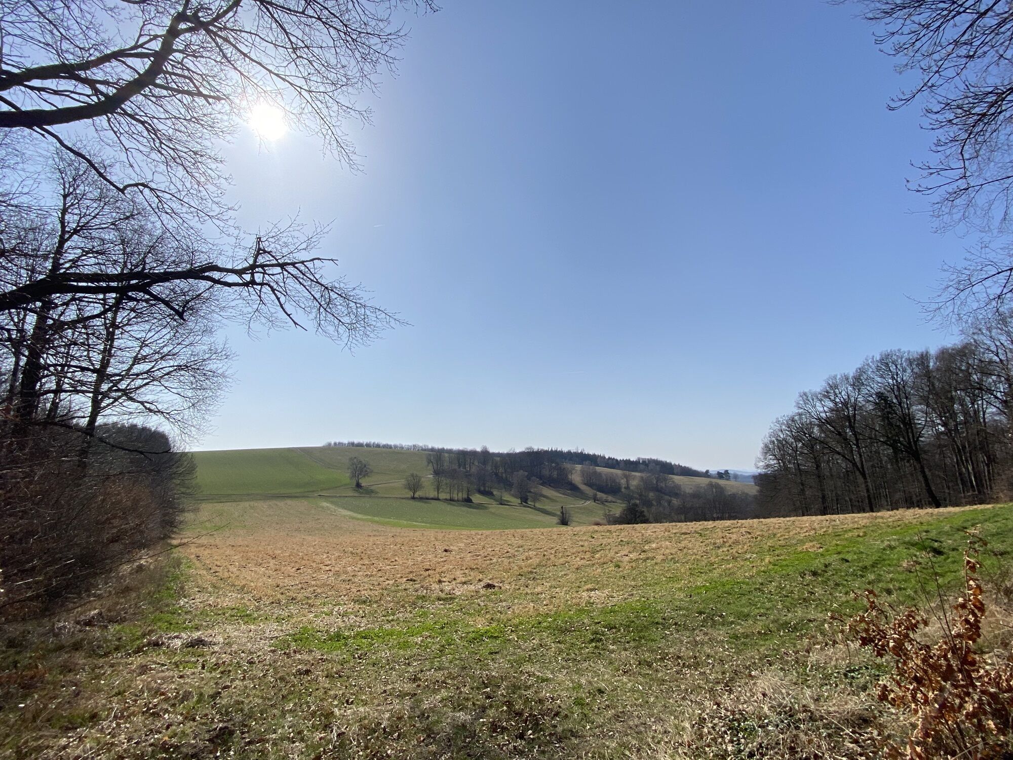
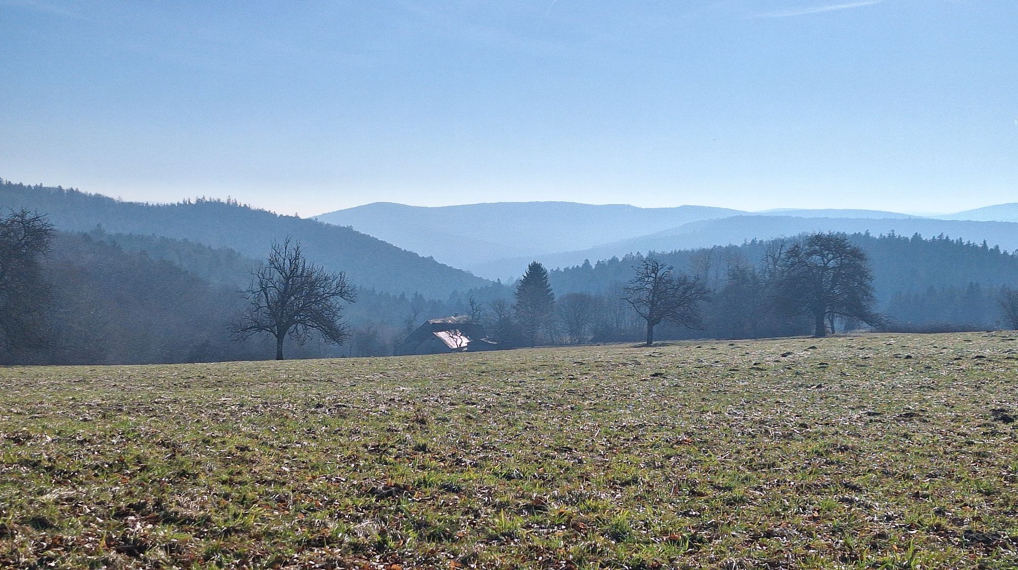
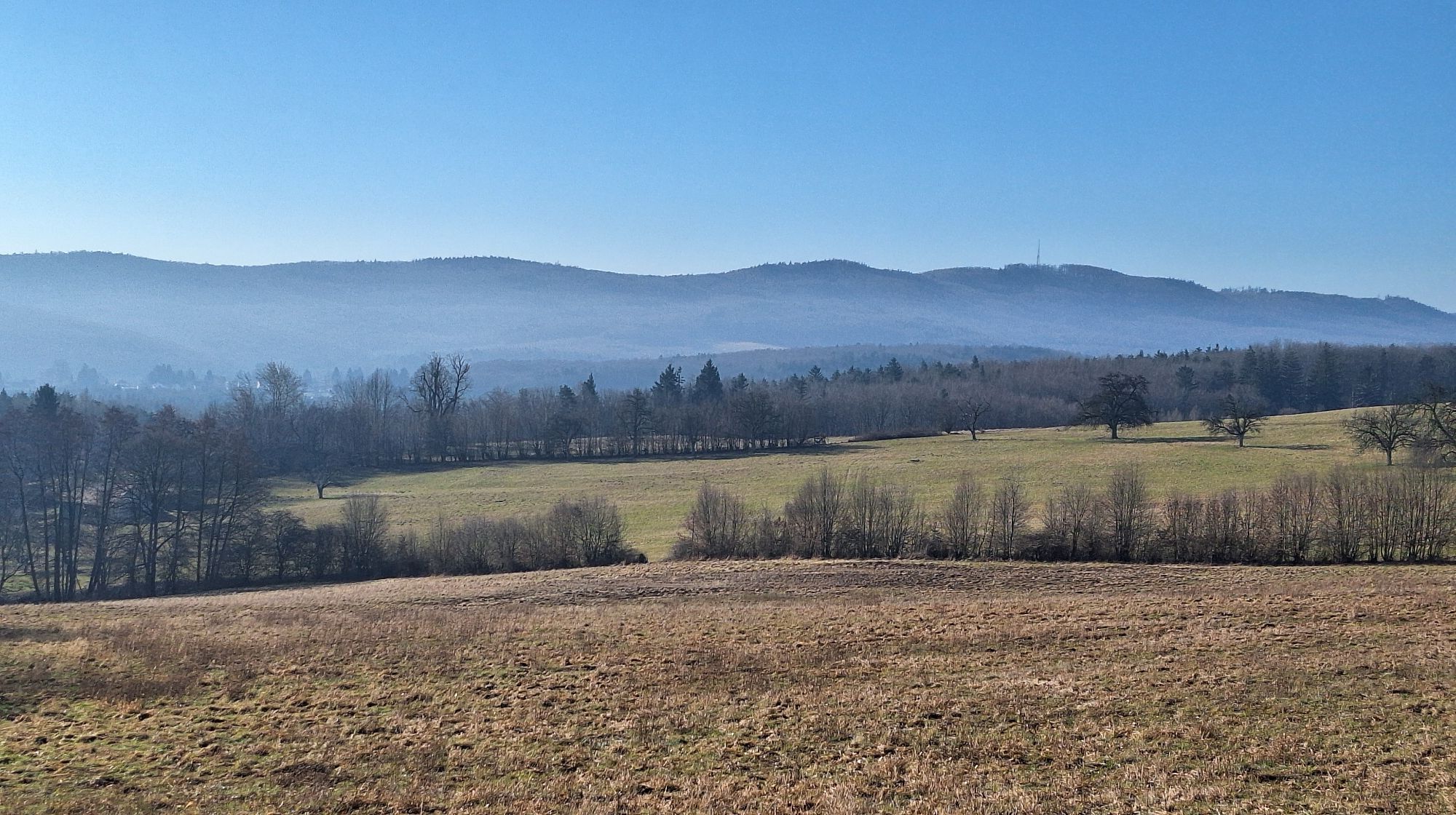
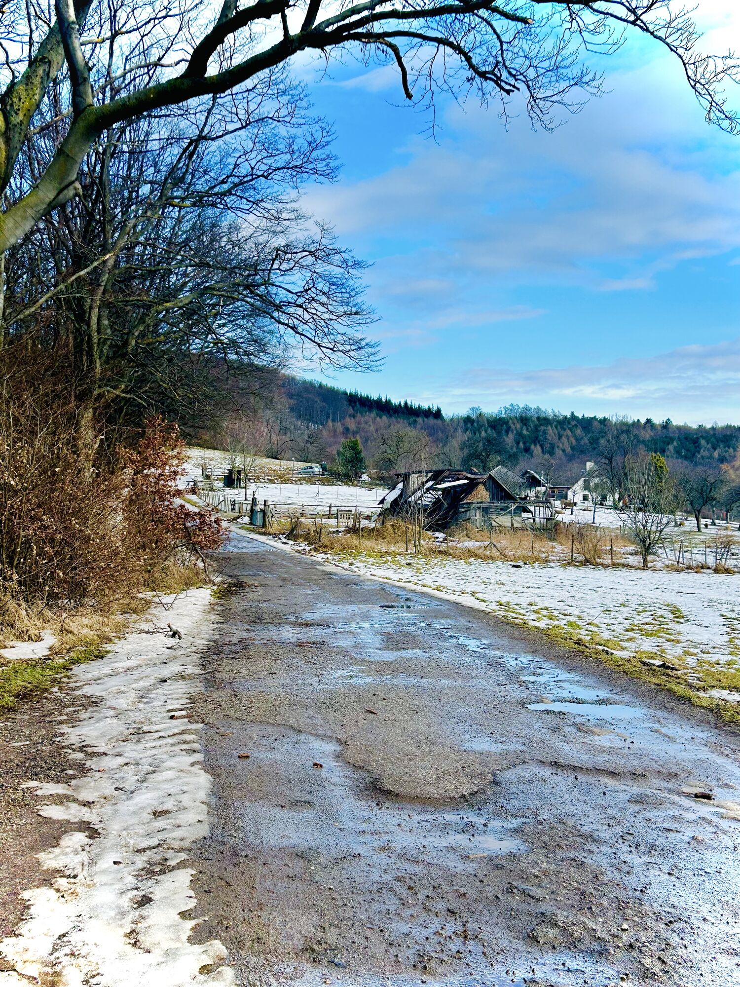
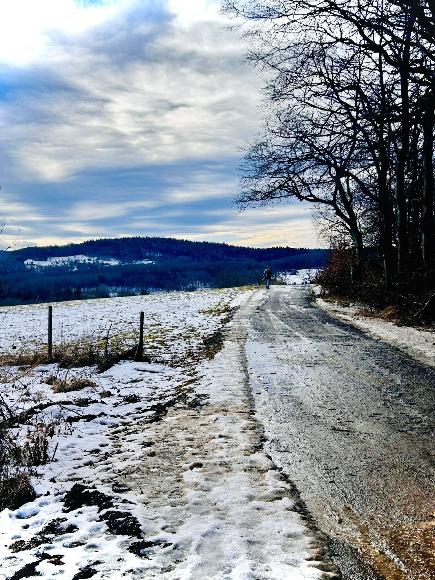
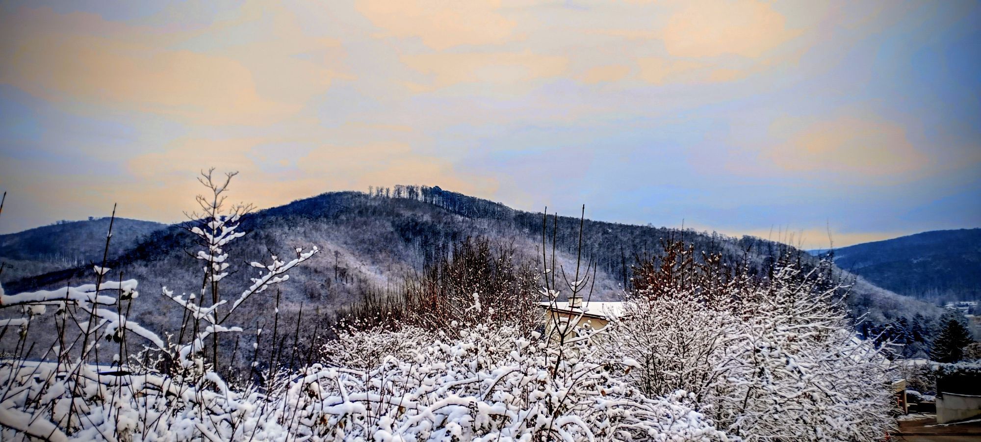
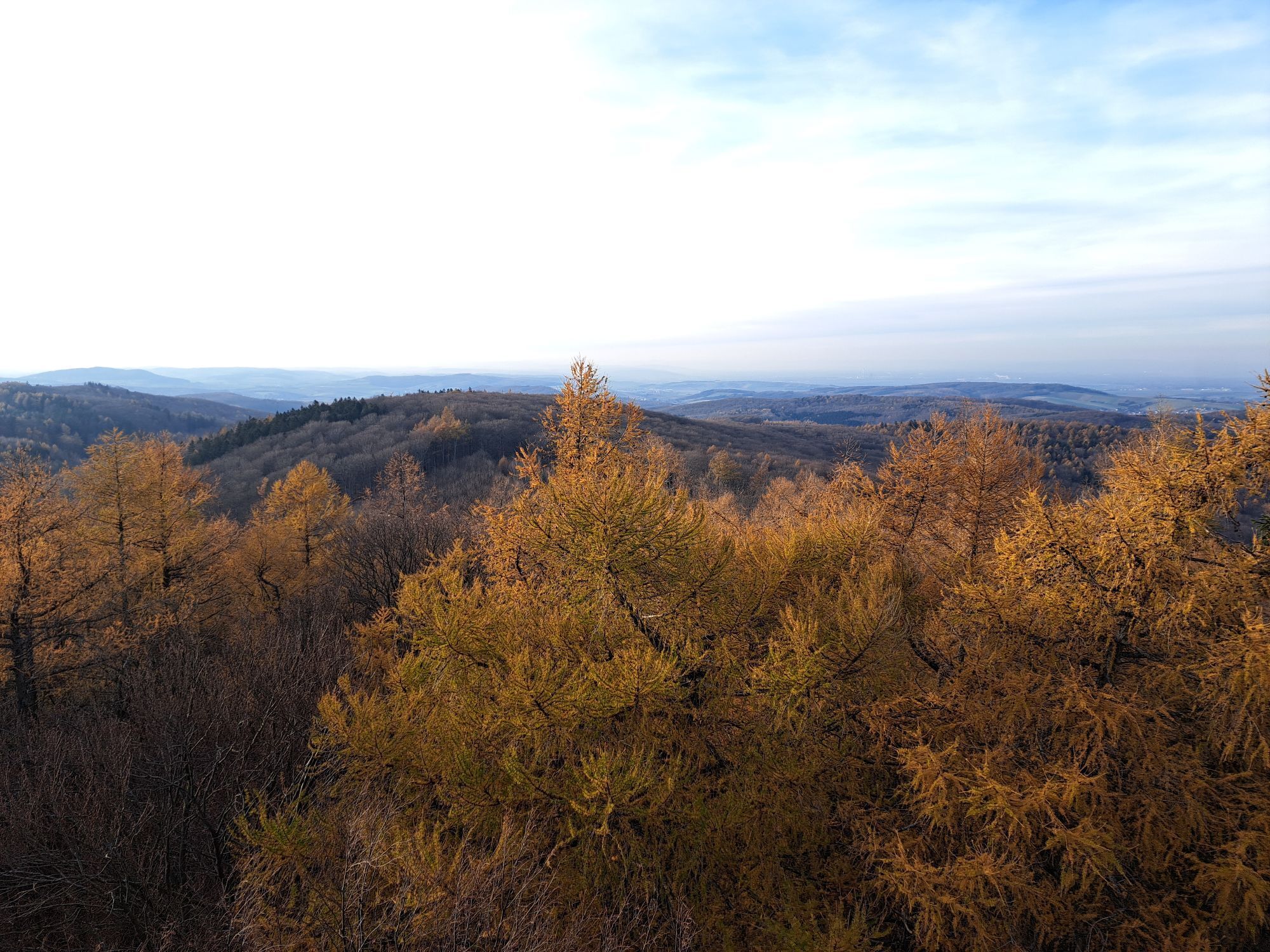
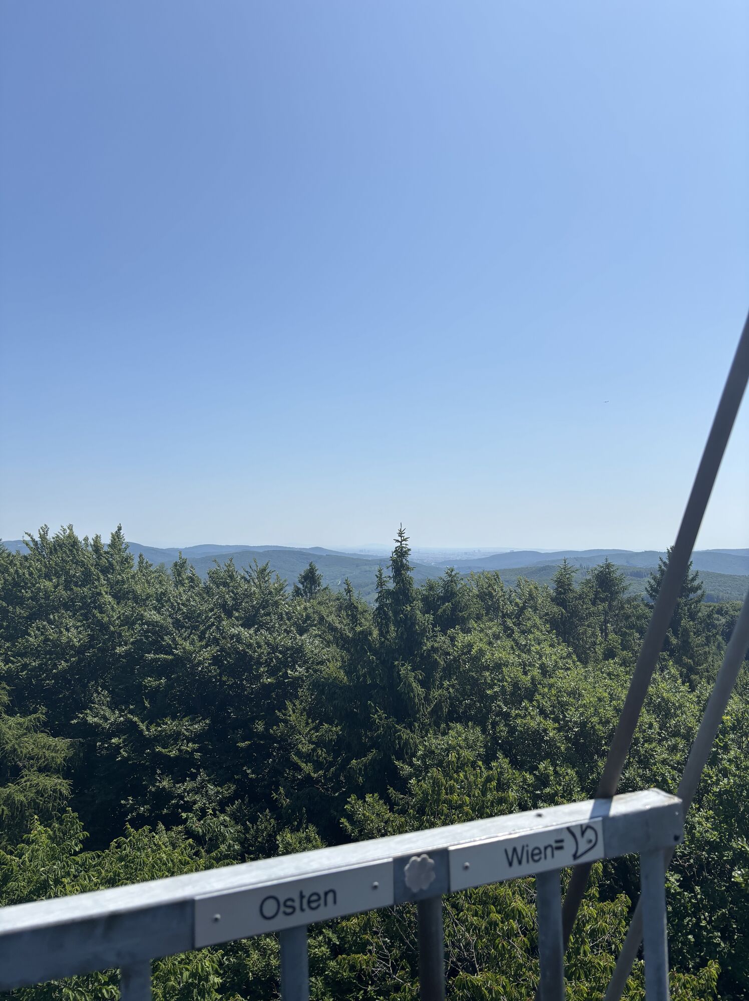
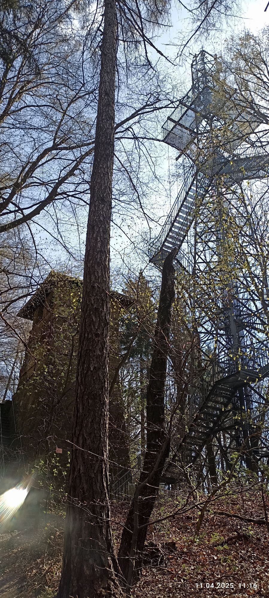
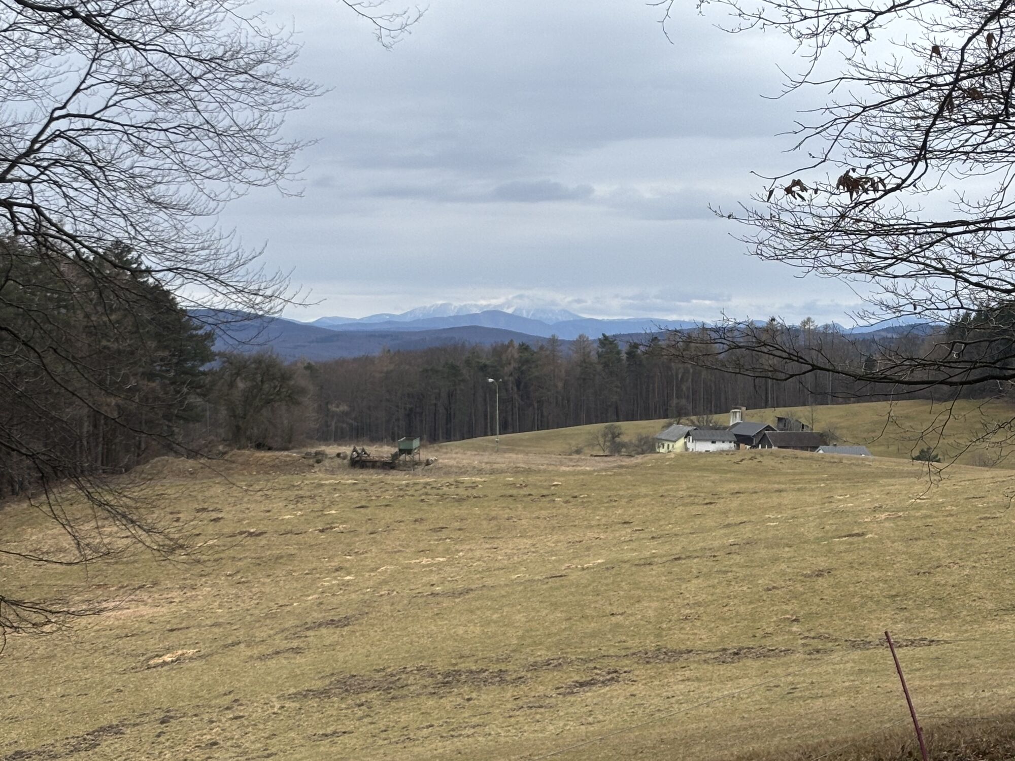
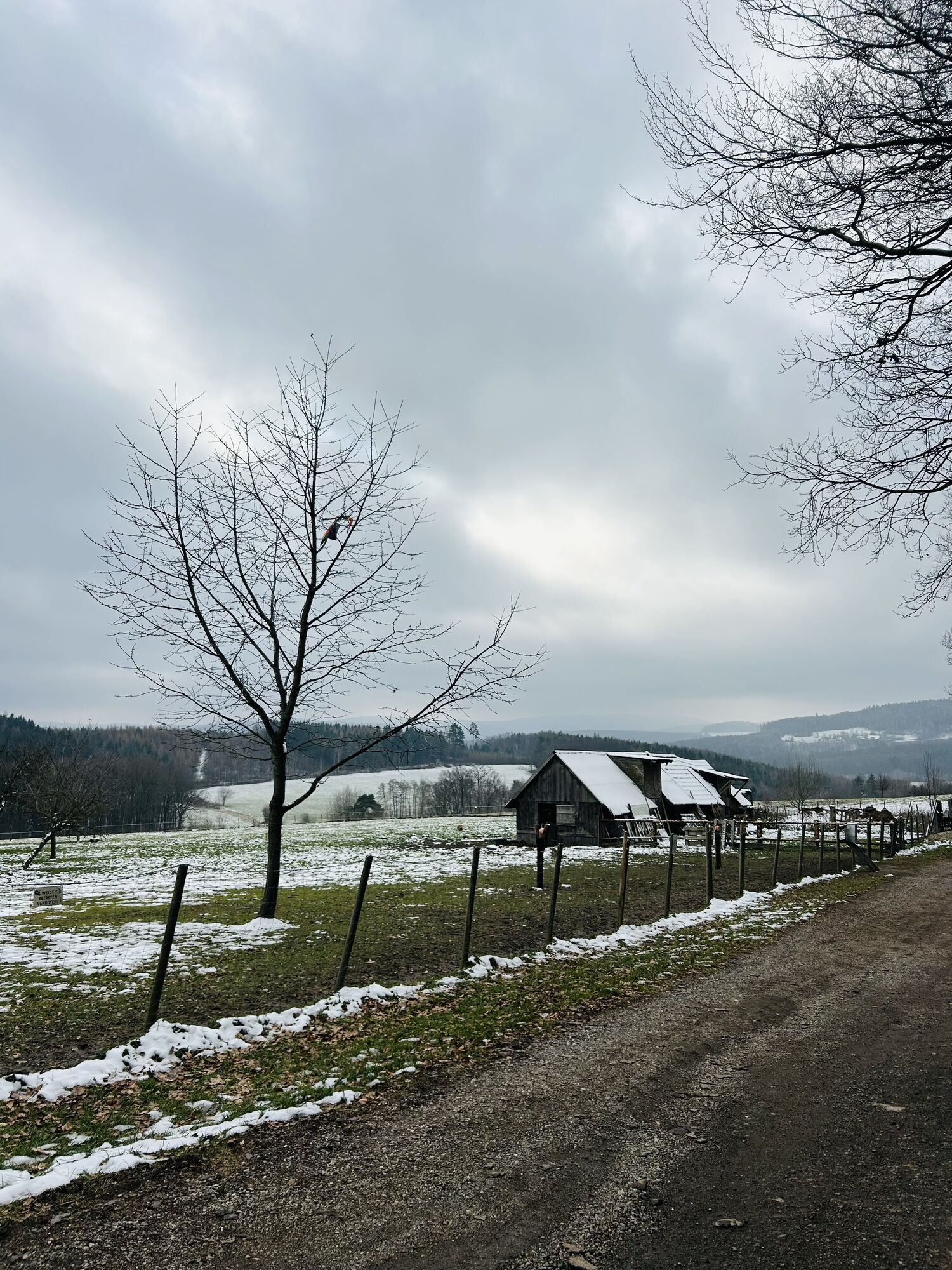
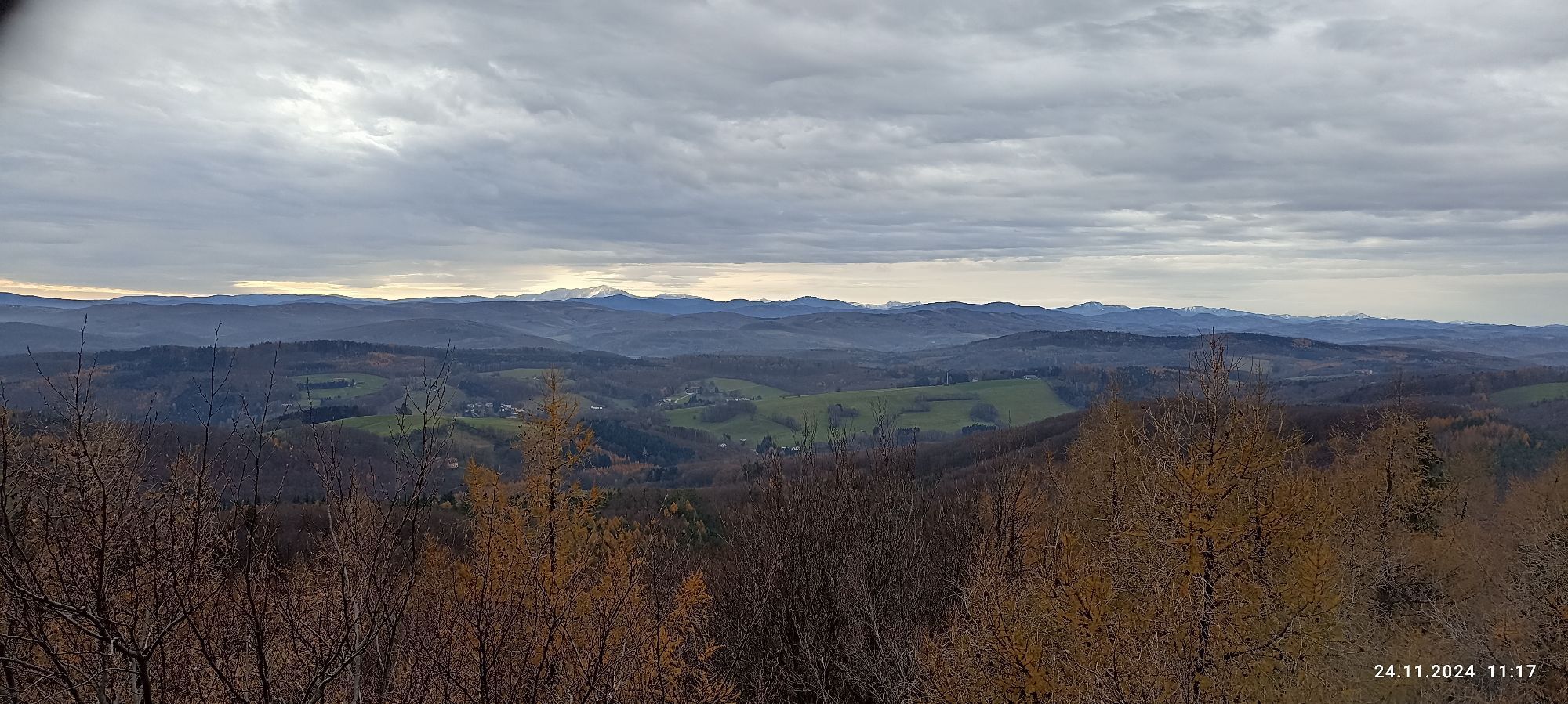
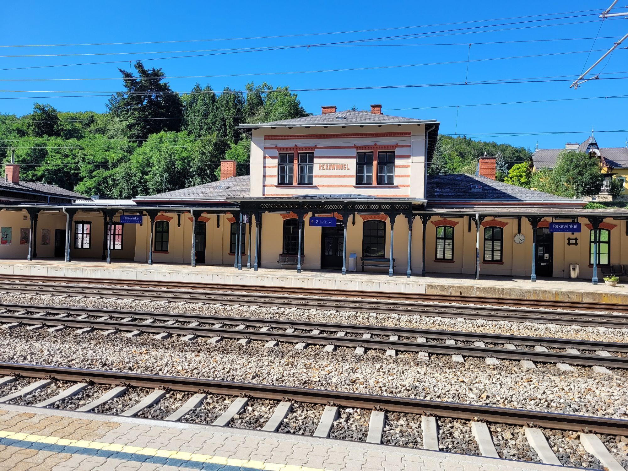
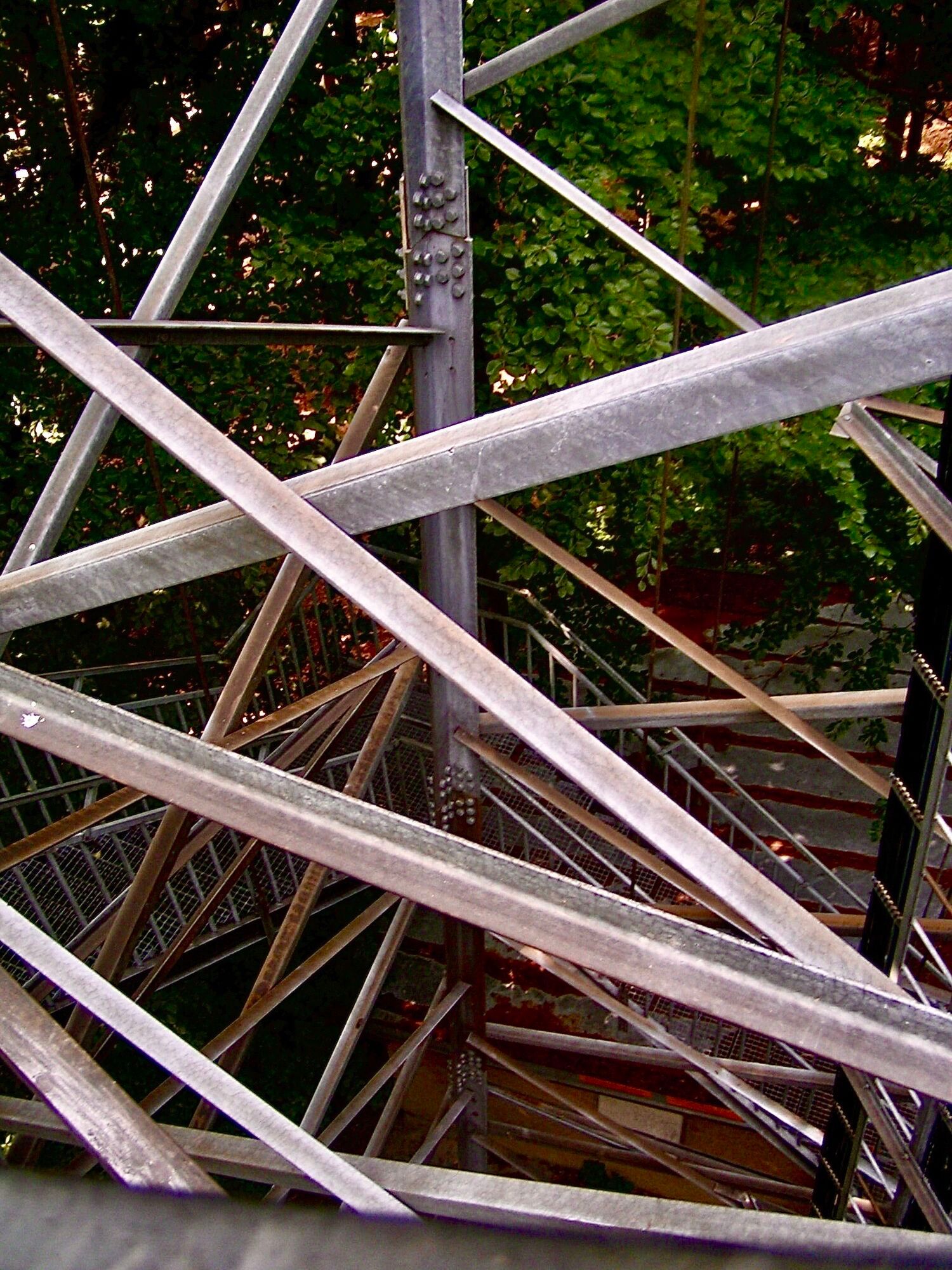
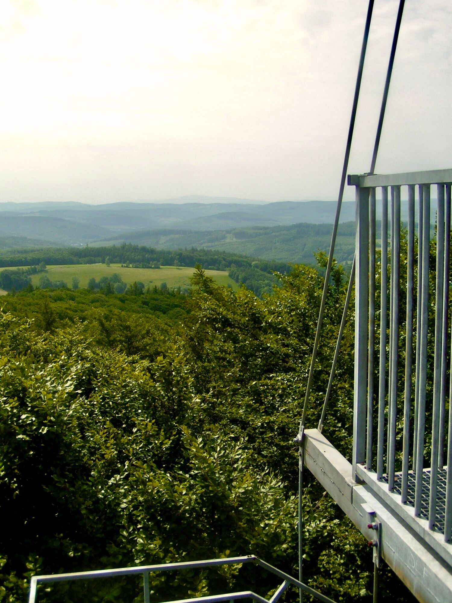
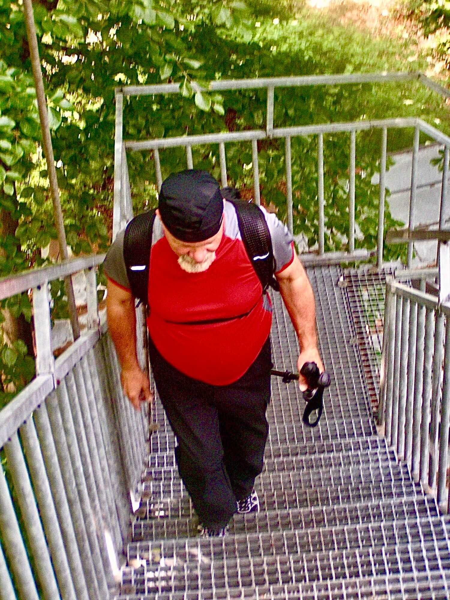
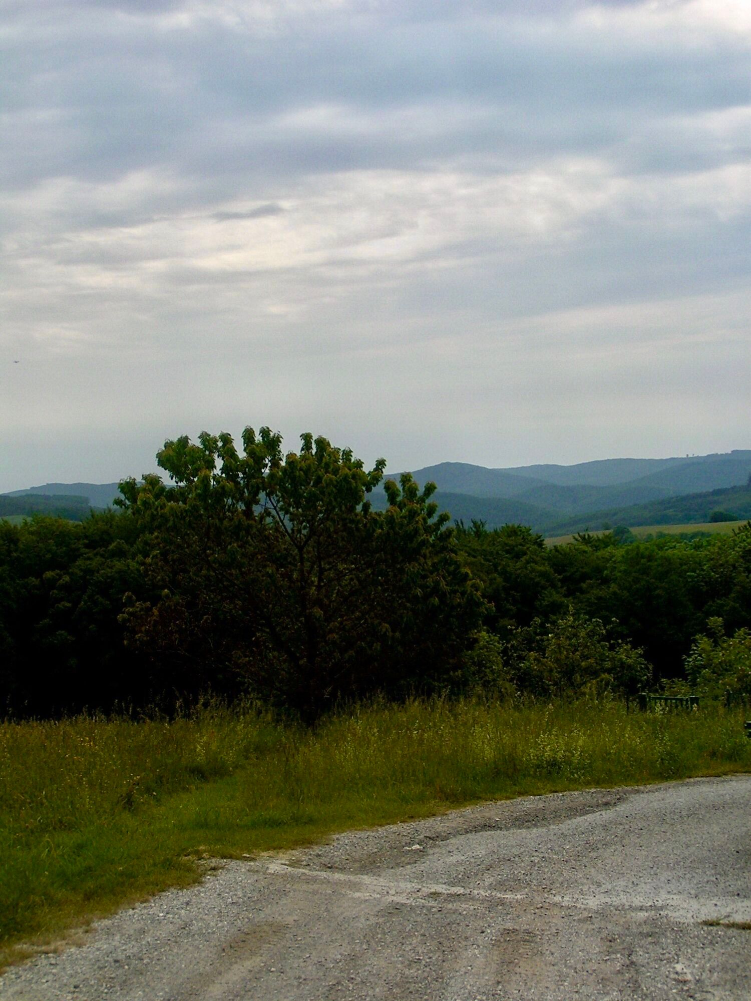
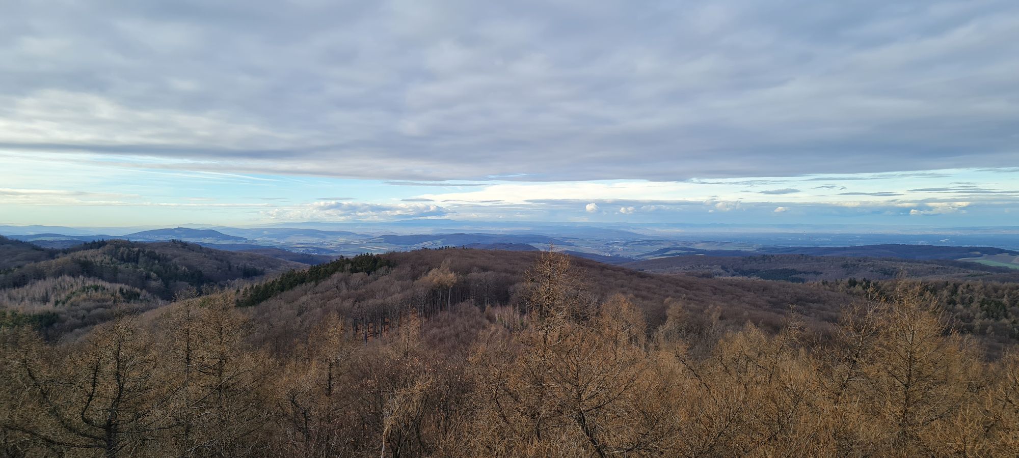
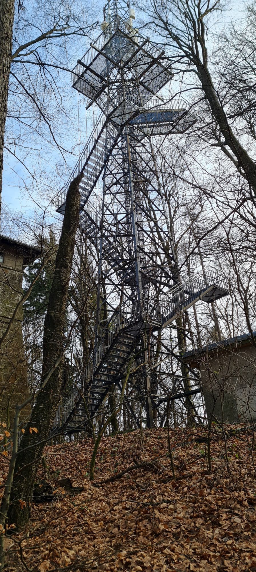
<p>At Rekawinkel station, we immediately join the long-distance hiking trail 04 and stay on it until Troppberg. An information board with a detailed hiking map already provides important information about all hiking trails in this area. From the parking lot, we hike westward, about 400 m beside the federal road, to the beginning of the village. Caution, here we have to cross the road at a somewhat unclear curve. Then we enter the settlement area where it becomes quieter. About 150 m lead us over the state road, approx. 150 m, before we turn right into the forest. For the next few hours, we see and hear no cars anymore. Mostly forest and meadow paths alternate; notable climbs are rare throughout the whole route. The path leads over the Großer and Kleiner Siefelberg (497 m) to Rauchengern, where we cross the state road.</p><p>From here, in addition to the red long-distance trail marking, the blue marking guides us further. We reach, over the inconspicuous Hinterer Steinberg, past the Gasthaus Mirli – very popular with children due to its many animals – past the Wienerwaldhof Rieger, after about 3 hours the Troppberg (542 m). From the large trail junction below the summit, it is 5 more minutes on the now steeply ascending, blue-marked path to the Troppberg lookout, the highlight of the route.</p><p>Built in 1991, the lookout tower has its viewing platform at a height of 24 m and offers a magnificent view over all treetops towards Vienna, the entire Wienerwald, the foothills of the Alps up to the Tullnerfeld. We now go back to the large trail junction below the Troppberg summit and follow from here continuously the green marked hiking trail over the Buchberg and the Kranawetten (410 m) to the Purkersdorf Zentrum station.</p>
<p>Sturdy footwear, water, rain protection</p>
<p>Despite the most careful research, unexpected short-, medium- or even long-term closures (e.g. due to forestry restricted areas by landowners) can occur on the routes. Parking options we recommend can sometimes be private or subject to fees – please pay attention to the signage on site. Some paths may partly or entirely cross fee-based businesses/areas (e.g. nature parks or gorges). This is usually explicitly mentioned in the description. All information is provided without guarantee and using the paths is at your own risk. Any path closures as well as notices from hunting and landowners must be observed.</p>
<p>Starting point: By train or bus to the "Rekawinkel" stop<br />End point: By train or bus to the "Purkersdorf Zentrum" stop</p>
<p>P+R Rekawinkel<br />P+R Purkersdorf</p>
Wienerwald Tourismus GmbH
Hauptplatz 11, 3002 Purkersdorf
Tel.: 02231/62176
E-Mail: office@wienerwald.info
Website: www.wienerwald.info
Places to eat along the route
Gasthaus MayerMirliRestaurant Wienerwaldhof RiegerUpdated on: 11/05/2020
Uzyskaj wgląd
Zawsze na żywo z ponad 9 500 kamer internetowych. bergfex Jako użytkownik Pro, możesz teraz zobaczyć odpowiednie kamery internetowe dla wielu wycieczek w aplikacji wycieczki od. Pozwala to na bezpośredni podgląd aktualnych warunków.


Popularne wycieczki w okolicy
-
4,7
Königstetten-Figlwarte-Hainbuch-Königstetten
średniWędrówka 9,30 km -
4,6
Stadtwanderweg 6 / Zugberg - Maurer Wald (lt. Beschilderung)
światłoWędrówka 13,3 km -
4,6
Stadtwanderweg 4
światłoWędrówka 8,48 km -
4,5
Stadtwanderweg 3, Hameau (lt. Beschilderung)
światłoWędrówka 9,78 km -
4,6
Rundwanderung Gablitz Gemeindeamt - Troppberg - Rabenstein - Gablitz Gemeindeamt
światłoWędrówka 12 km -
4,2
Stadtwanderweg 8 - Sophienalpe (lt. Beschilderung)
światłoWędrówka 9,31 km -
4,5
von Purkersdorf zur Rudolfshöhe
światłoWędrówka 4,72 km -
4,3
Rund um die Kartause Mauerbach - Angelos wohininundumwien.at
światłoWędrówka 4,90 km -
4,8
Kammersberg – Eichenhain - Haschhof ab/bis Weidling
światłoWędrówka 13,8 km -
4,1
Mauerbach - Tulbinger Kogel
światłoWędrówka 12,1 km
Wędrówki i tropienie


Nie przegap ofert i inspiracji na następne wakacje
Twój adres e-mail została dodana do listy mailingowej.





