







Hike to Feistritzer Schwaig (from Steyersberger Schwaig)

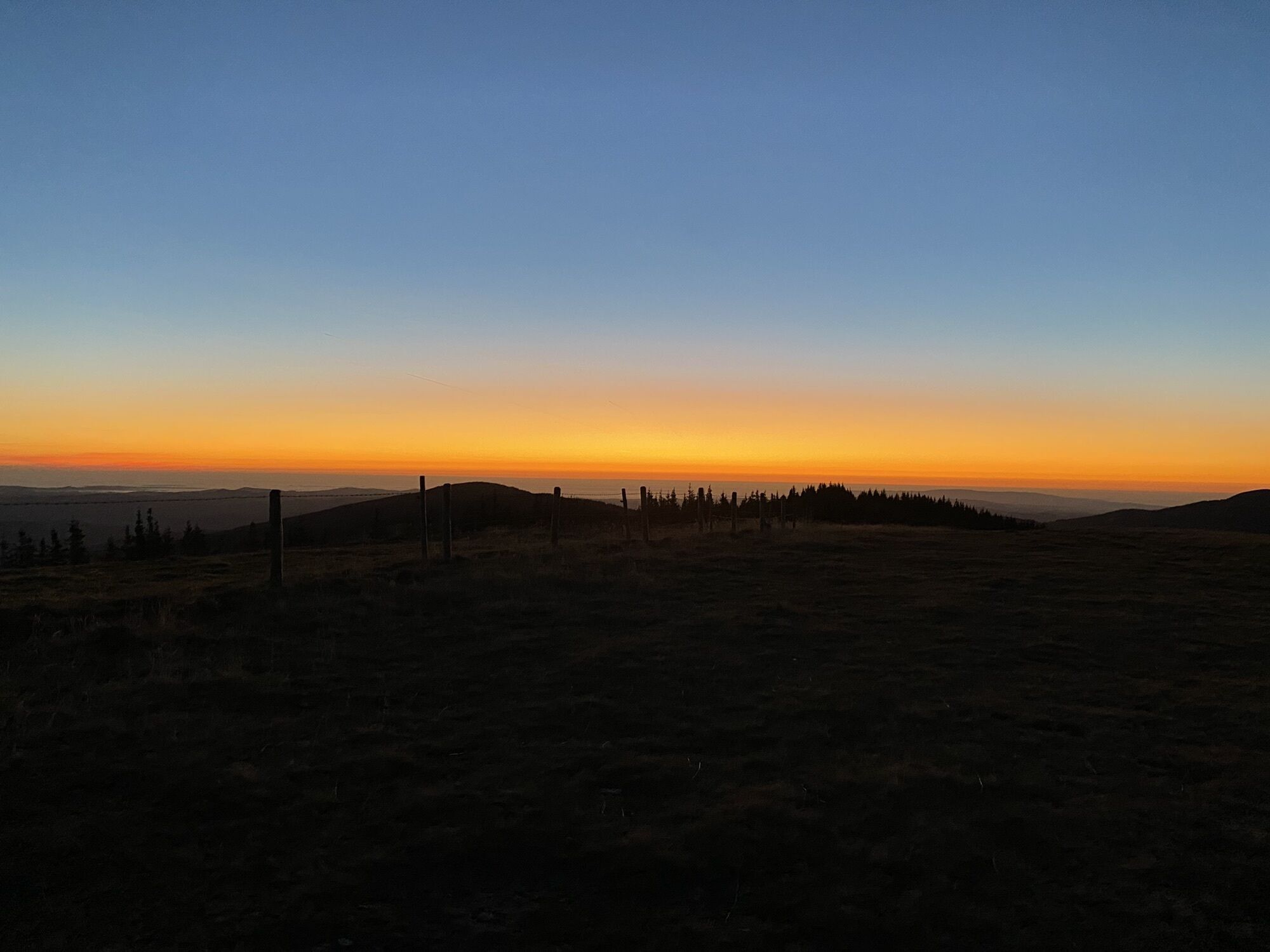
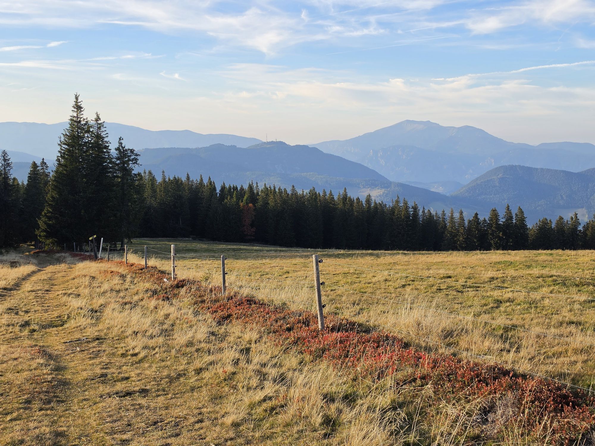
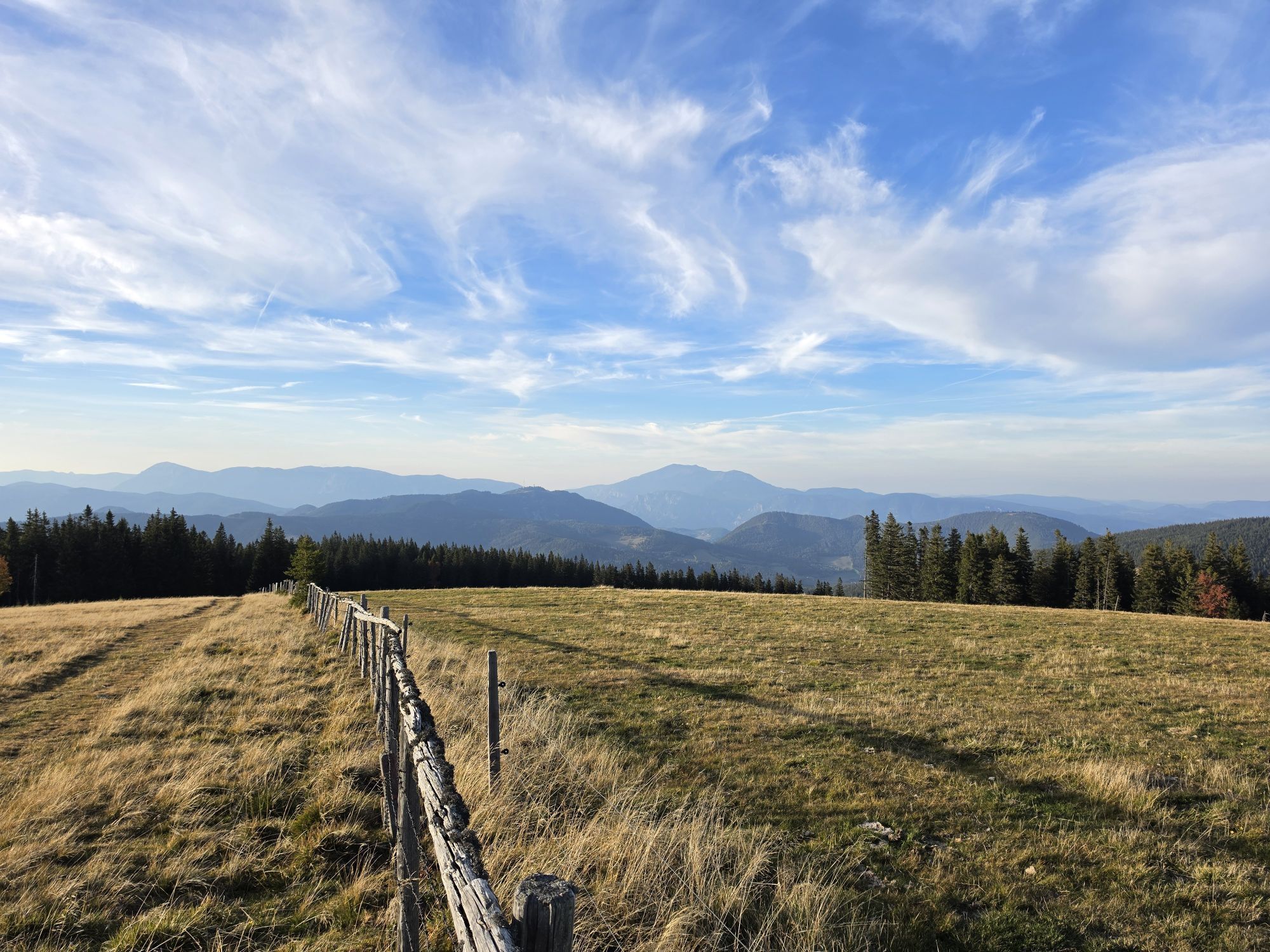
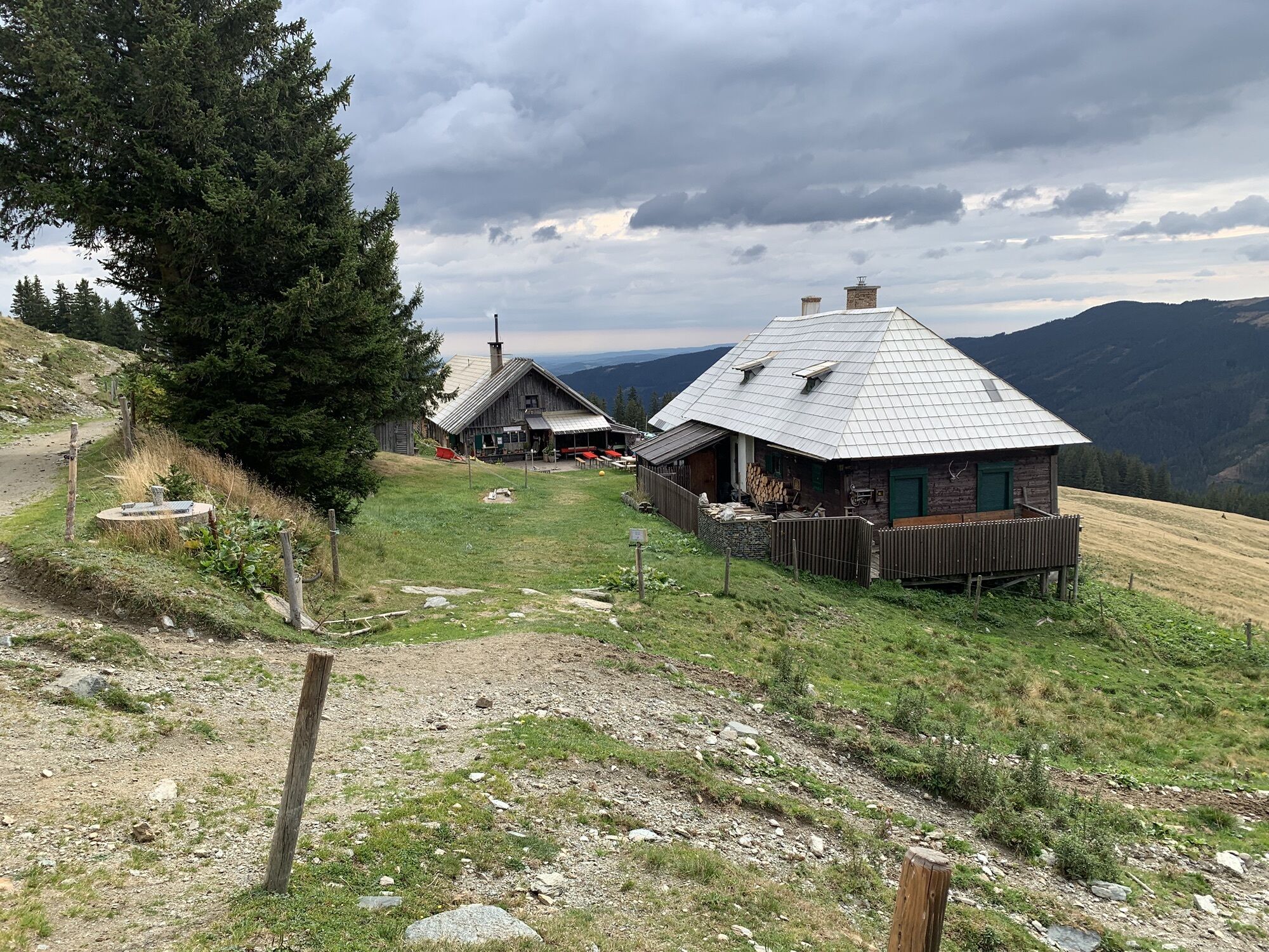
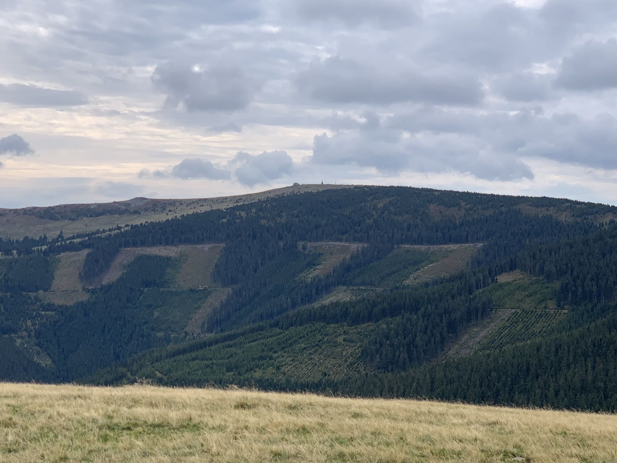
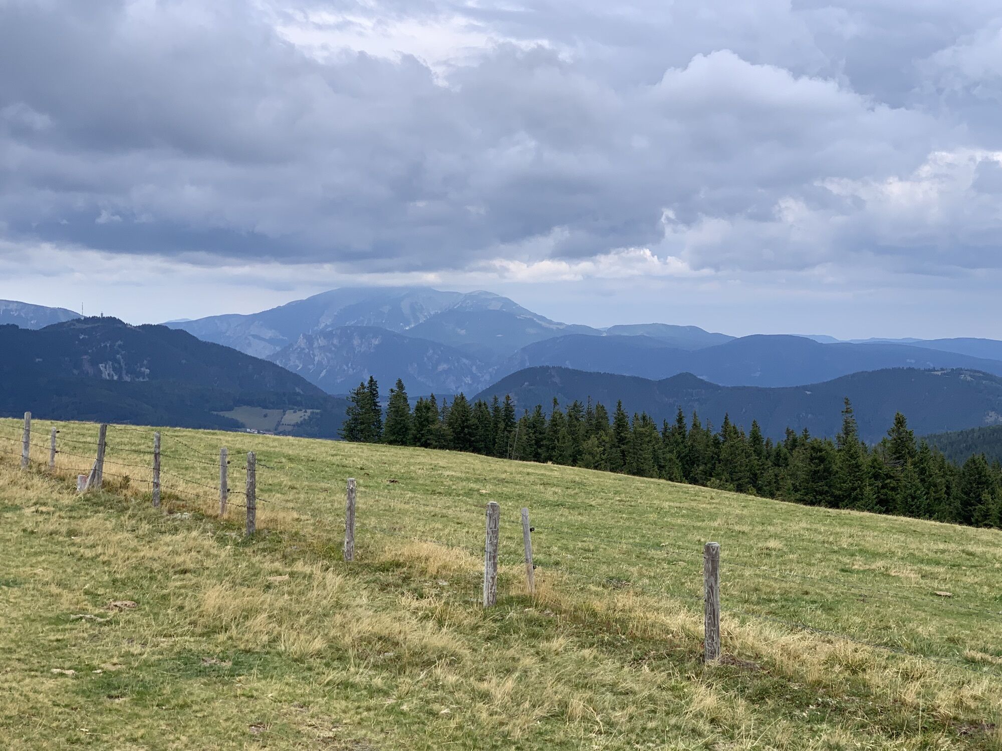
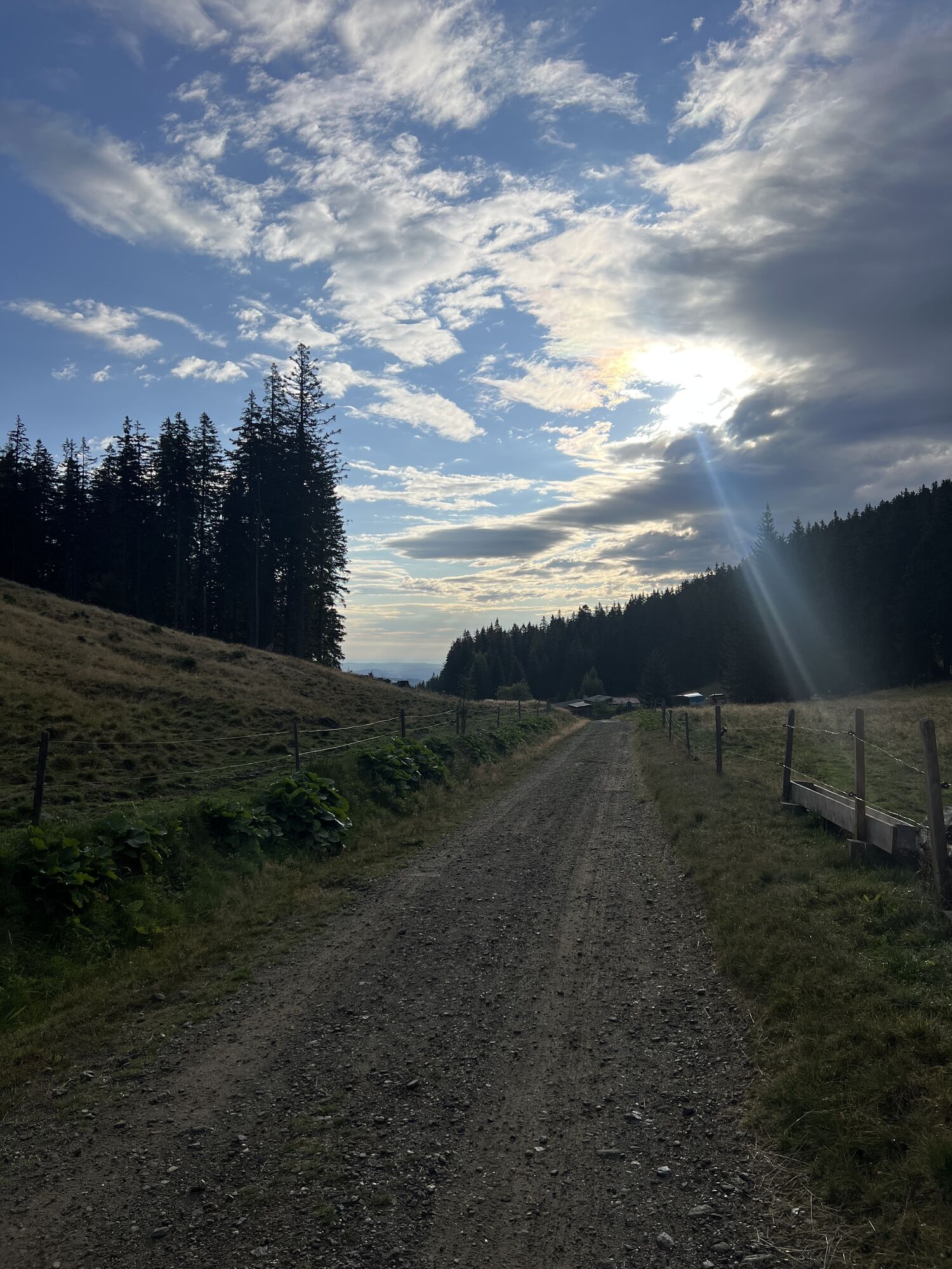
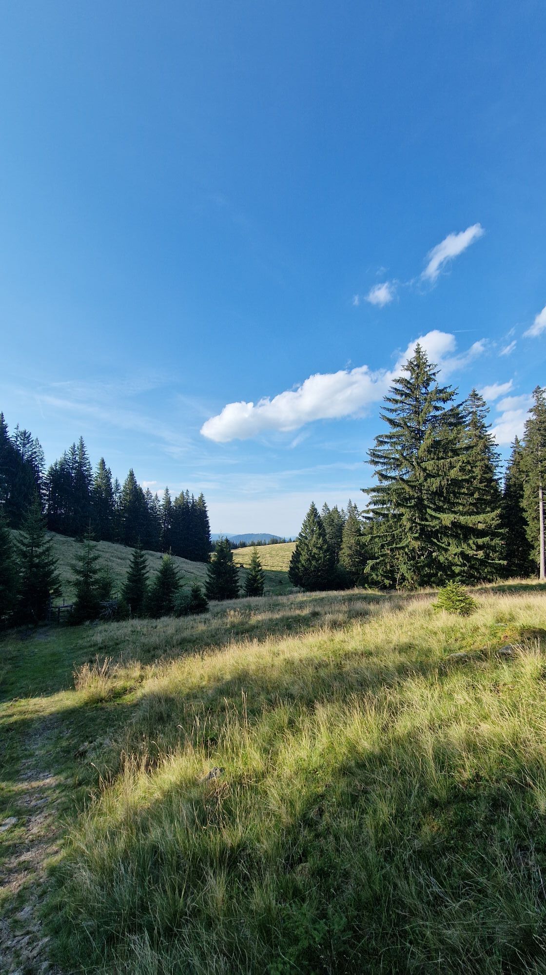
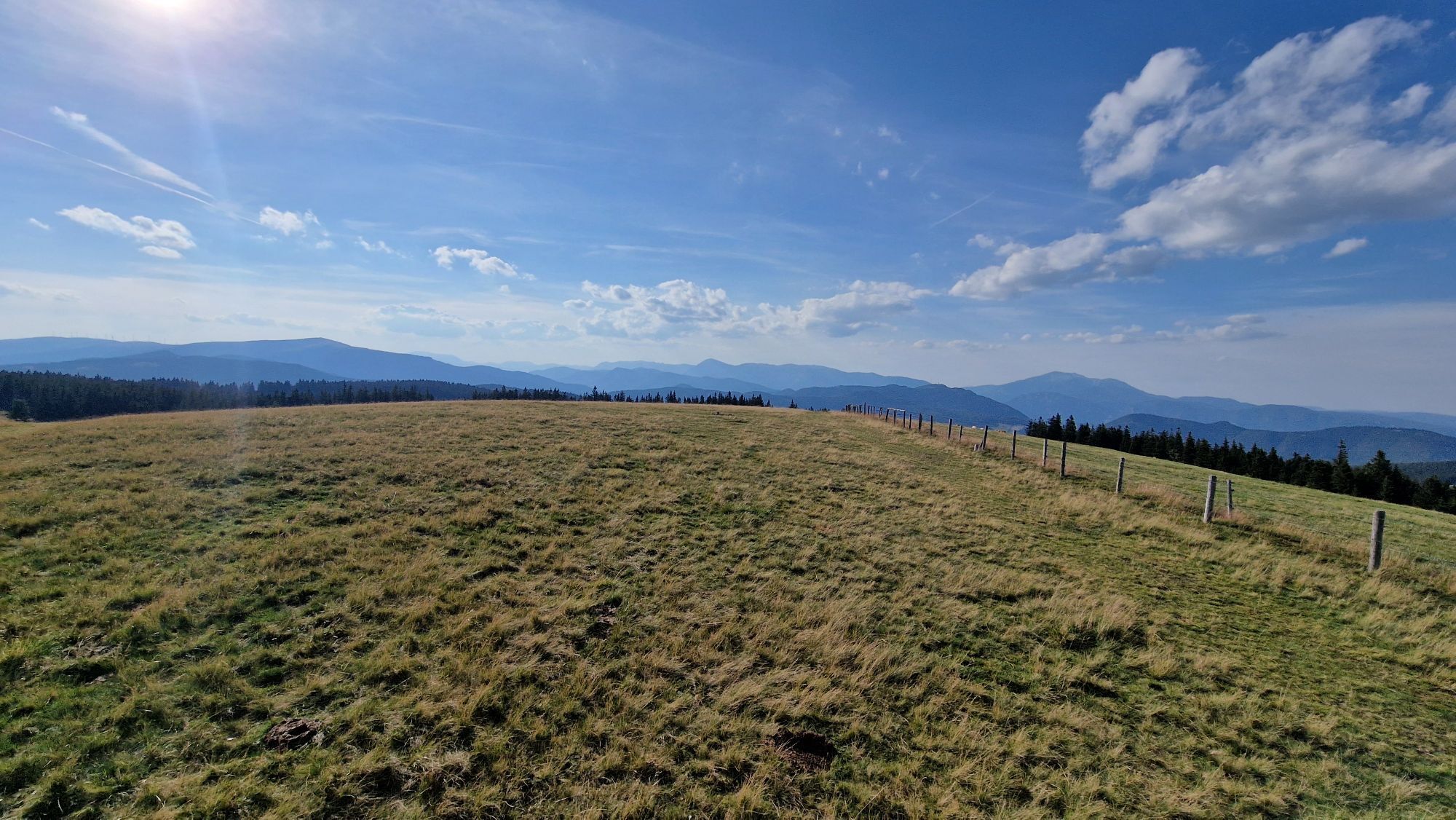
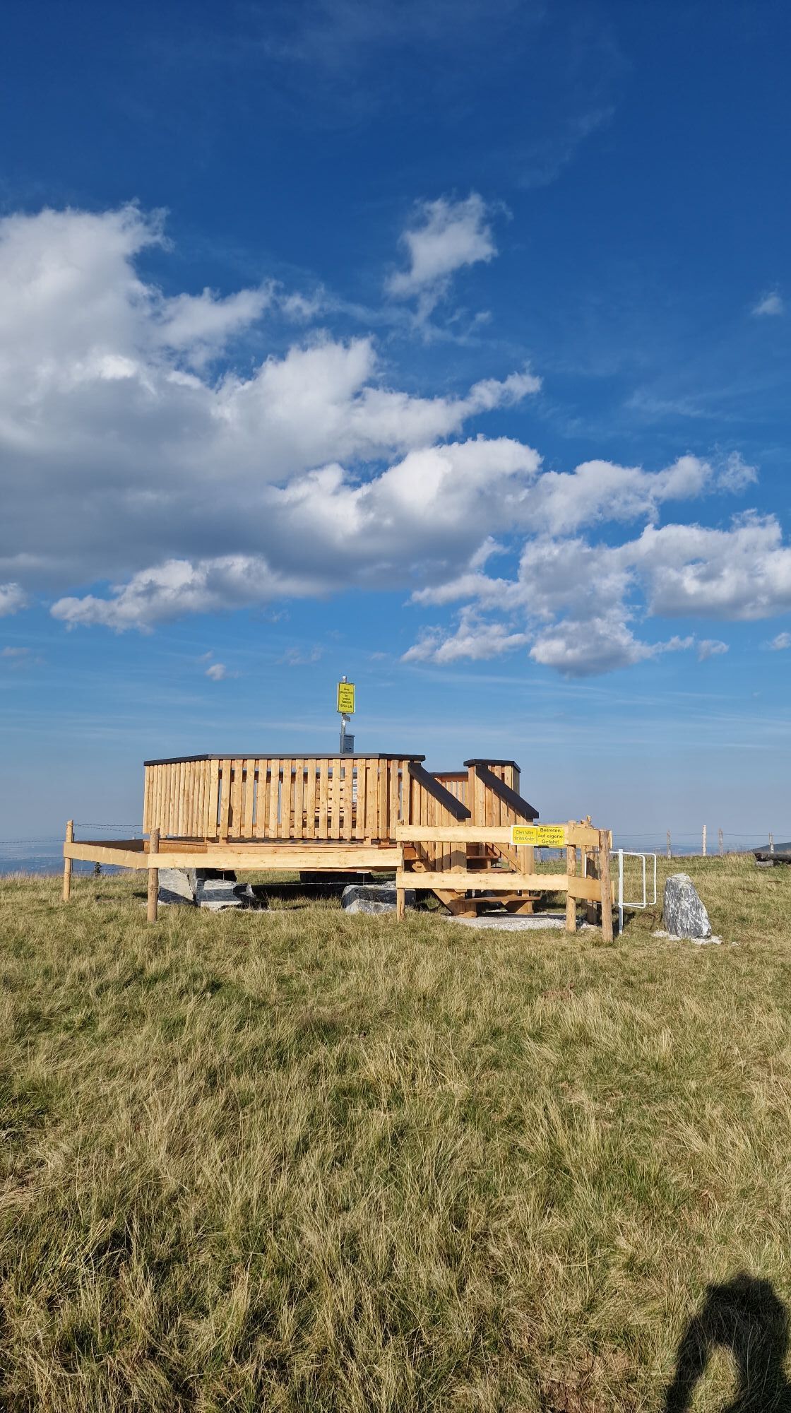
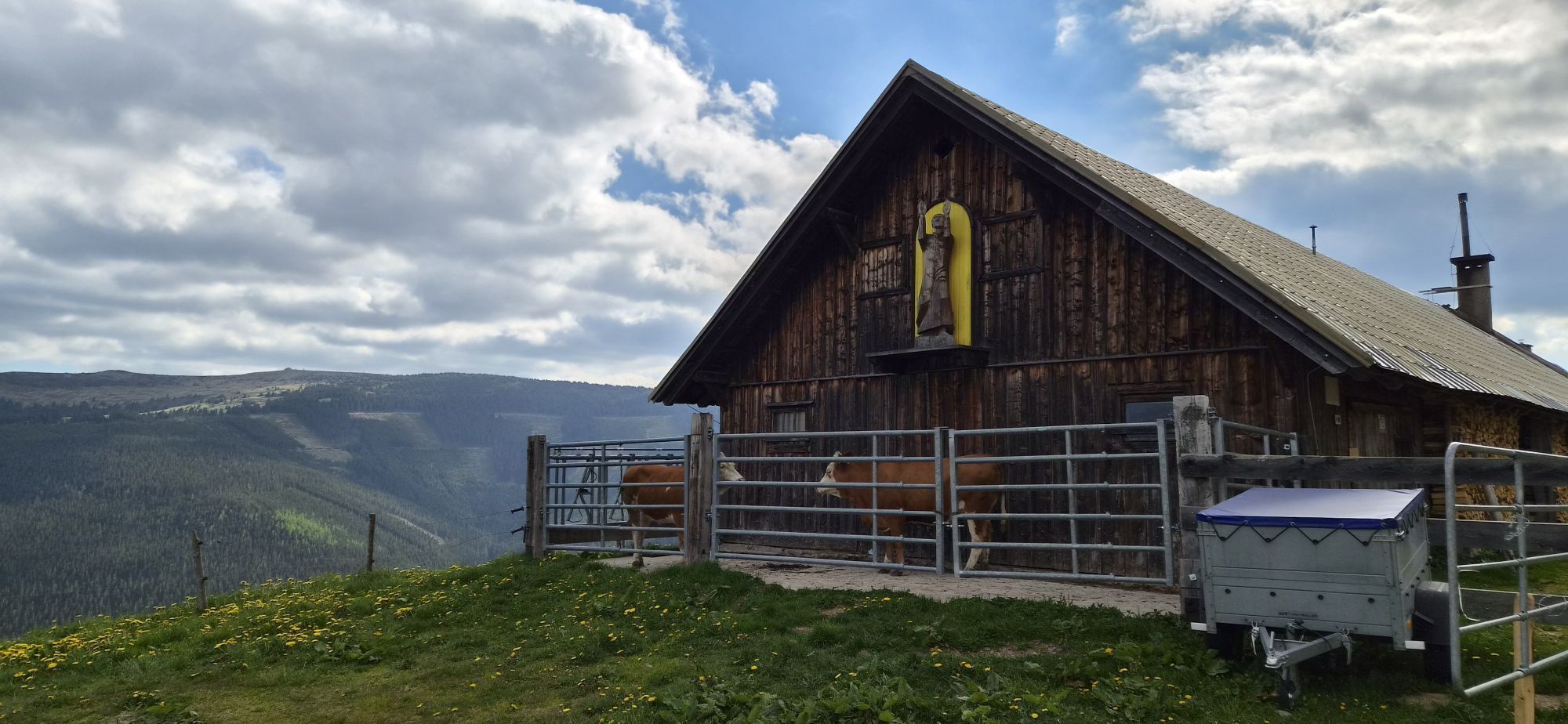
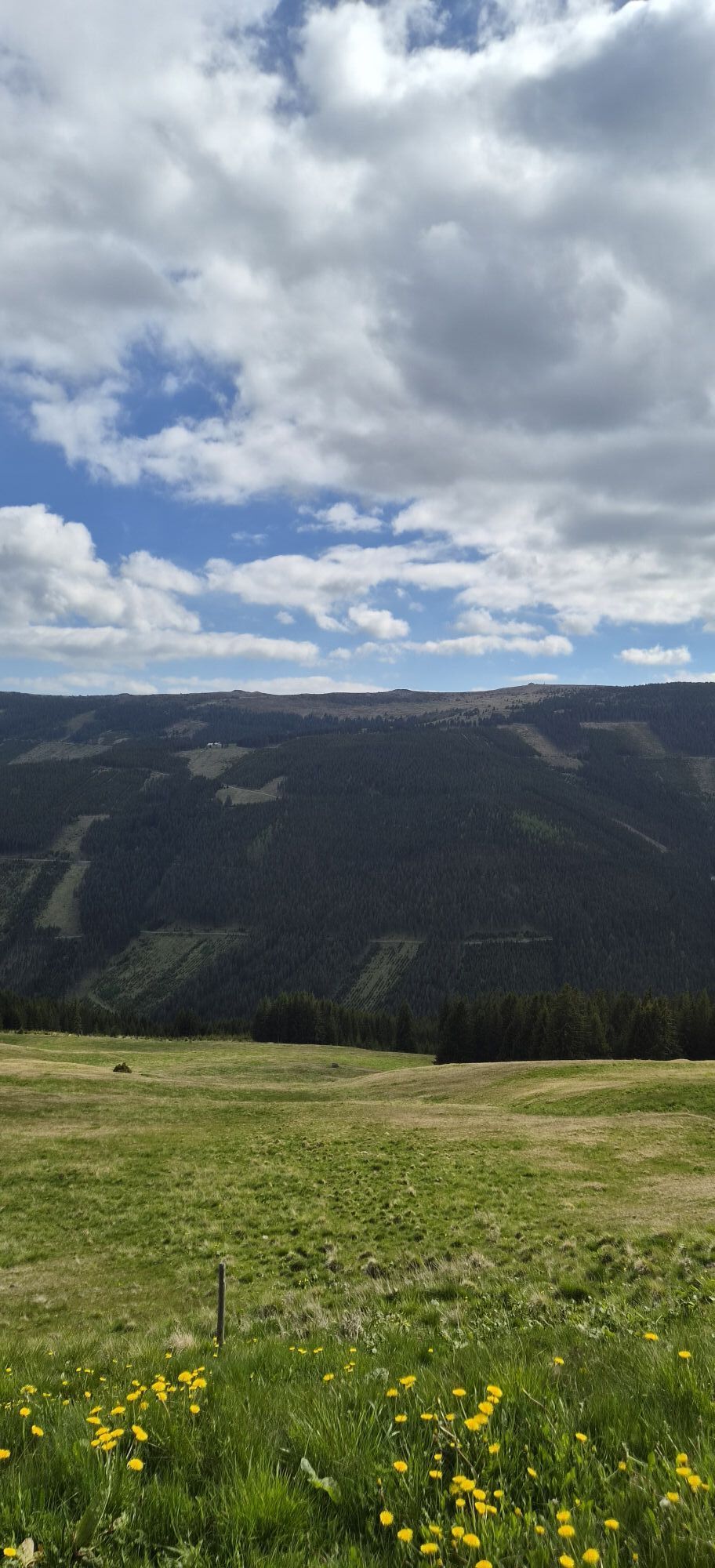
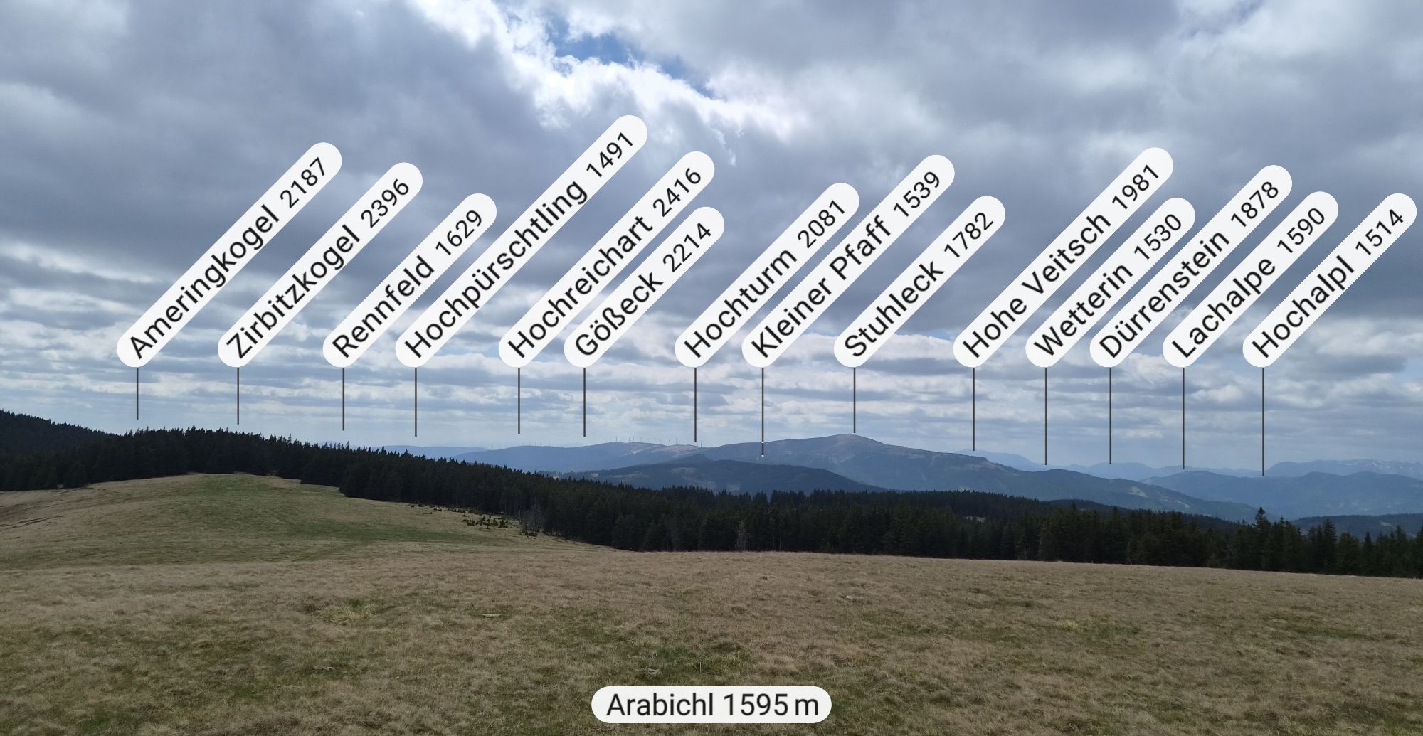
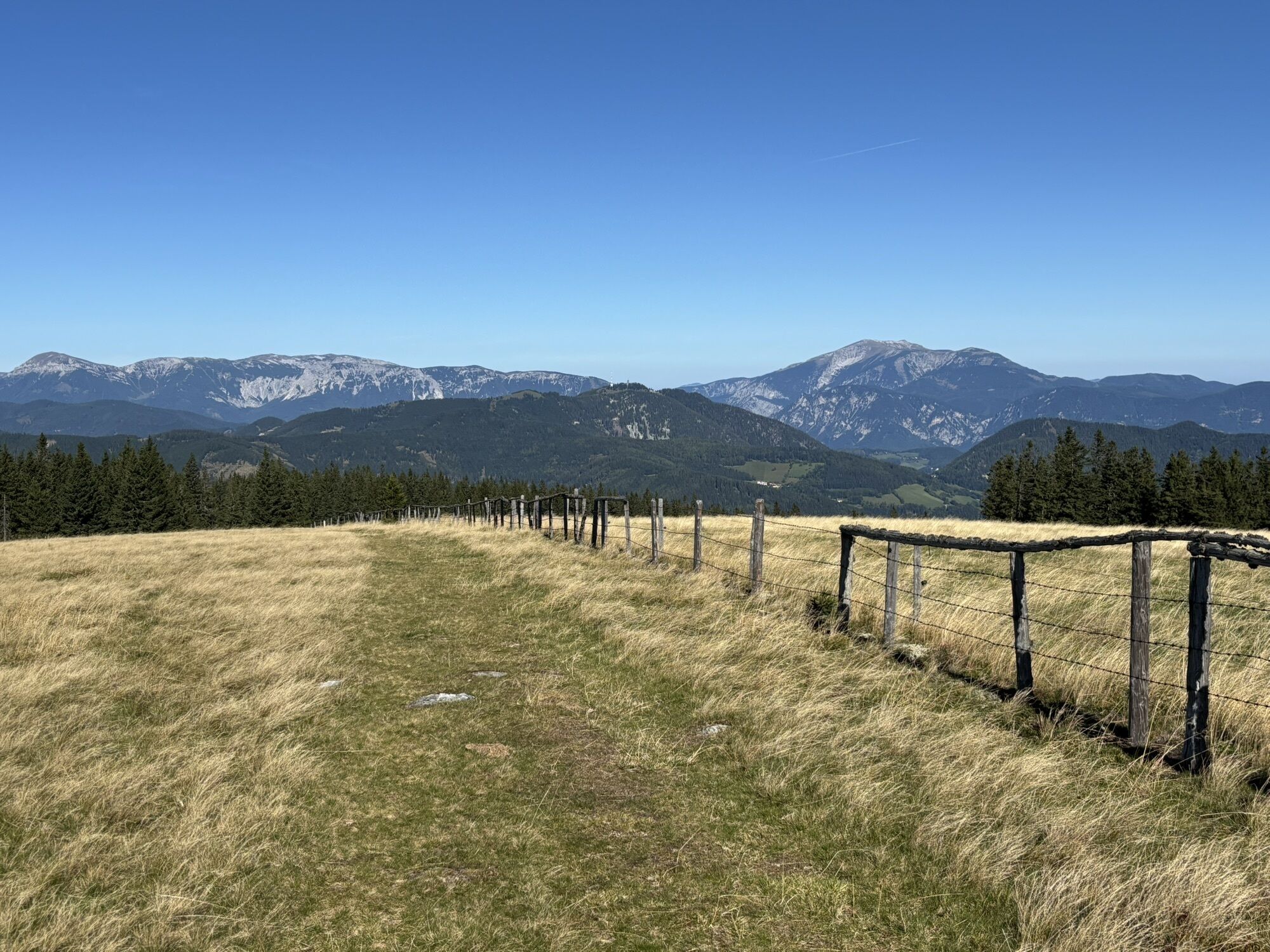
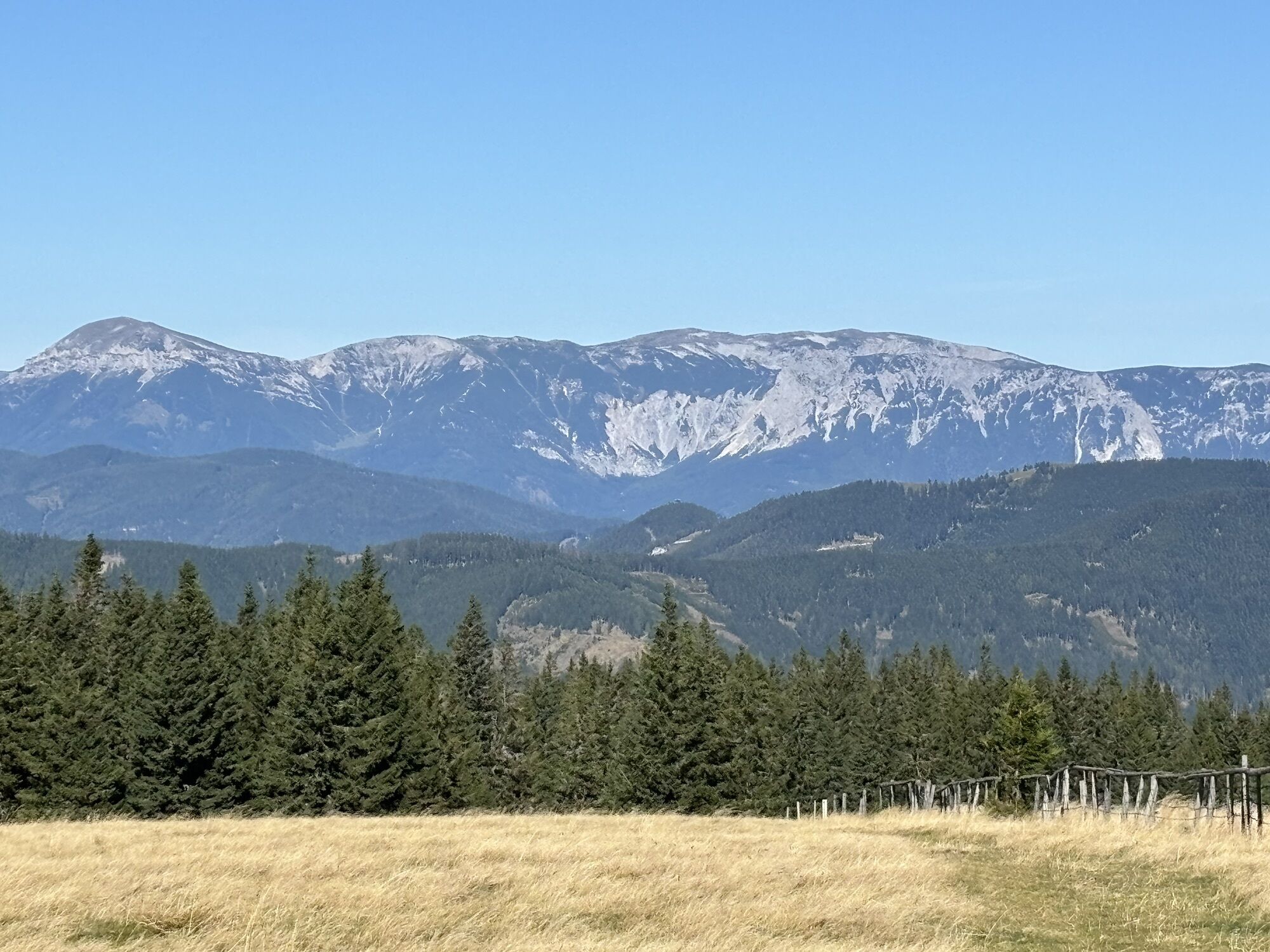
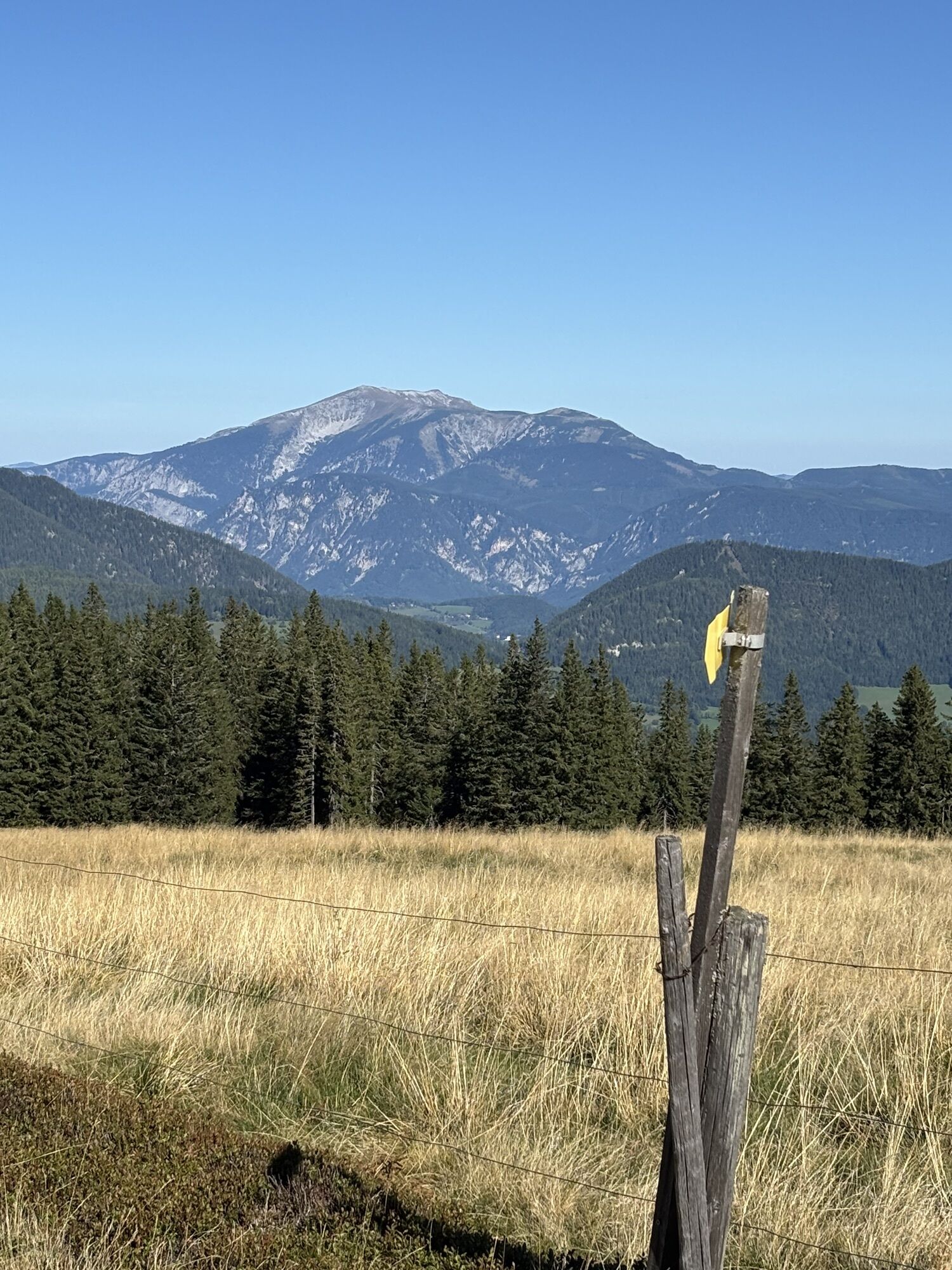
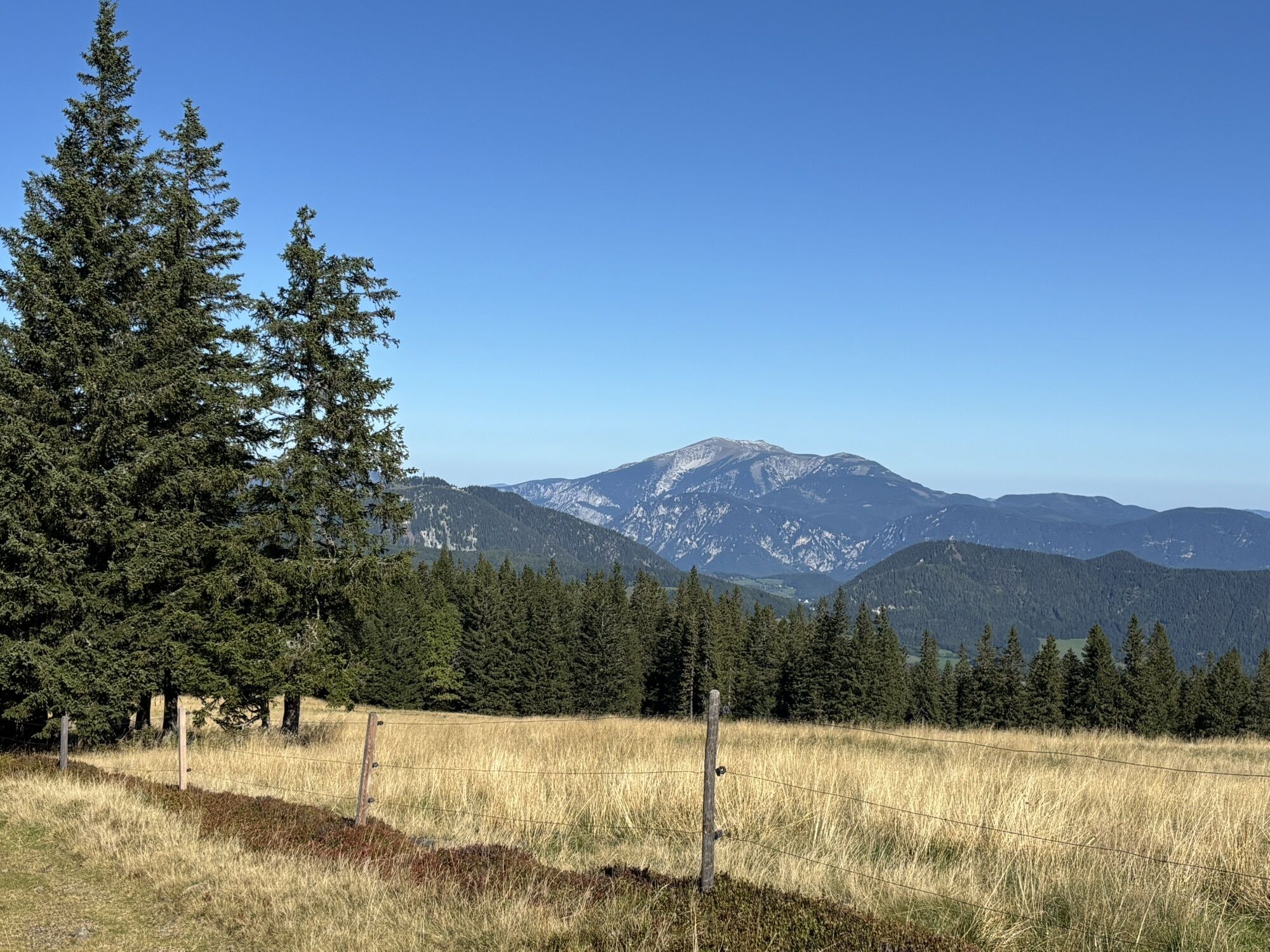
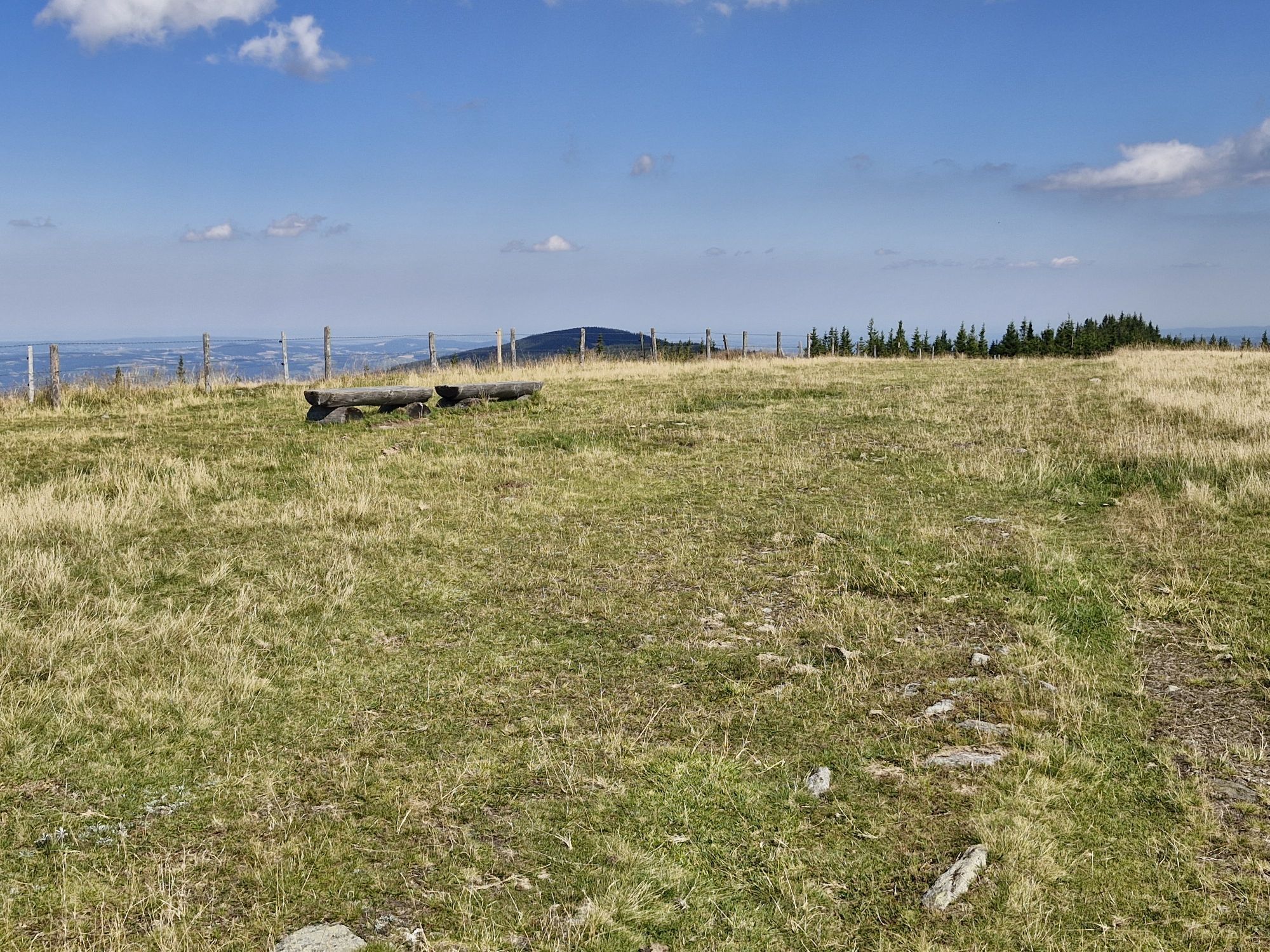
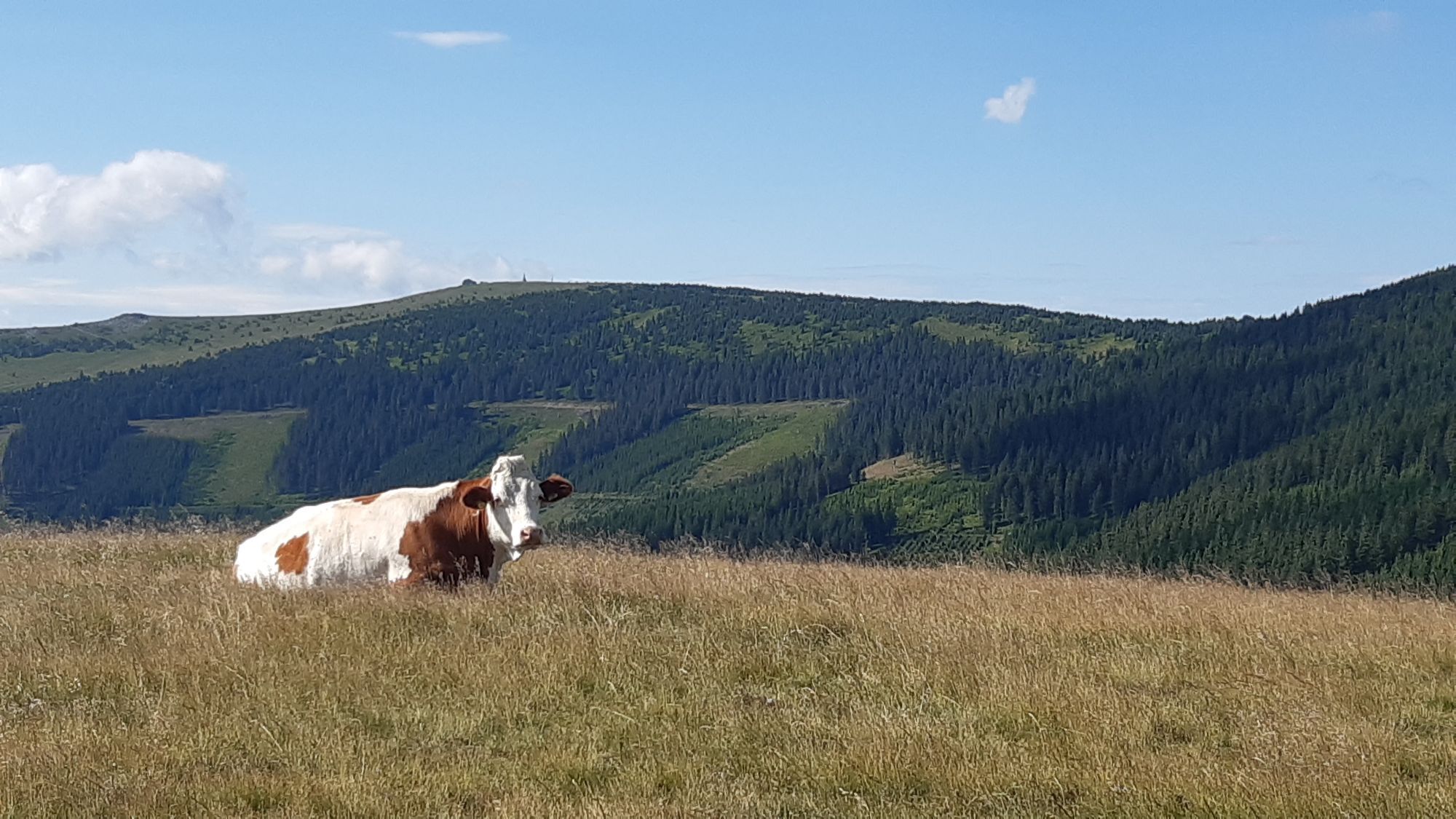
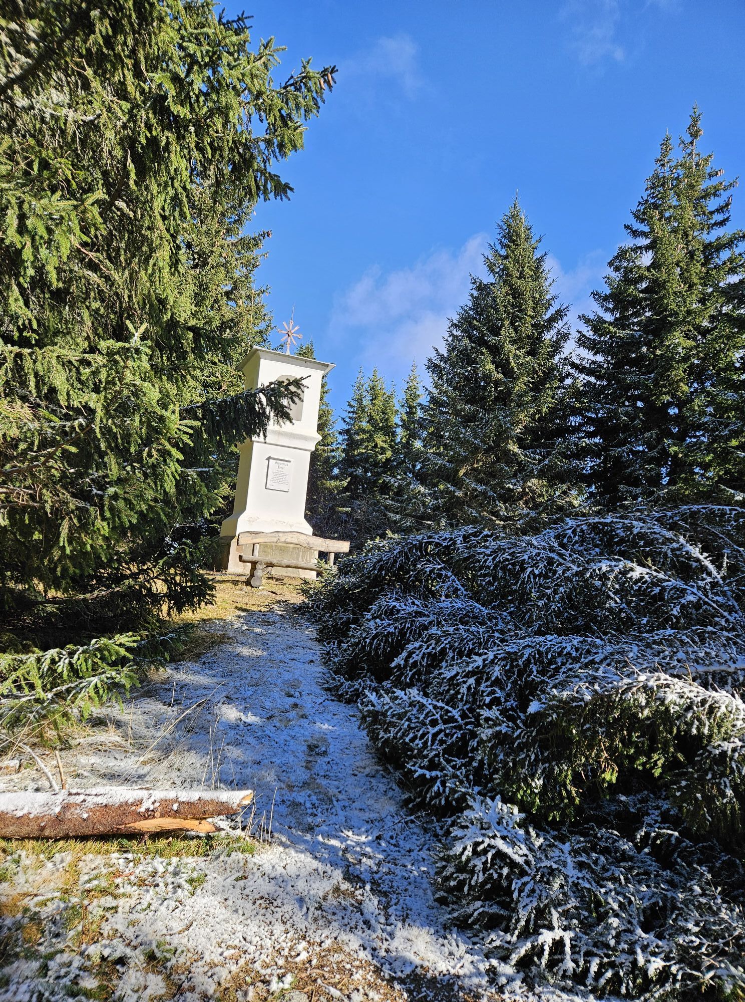
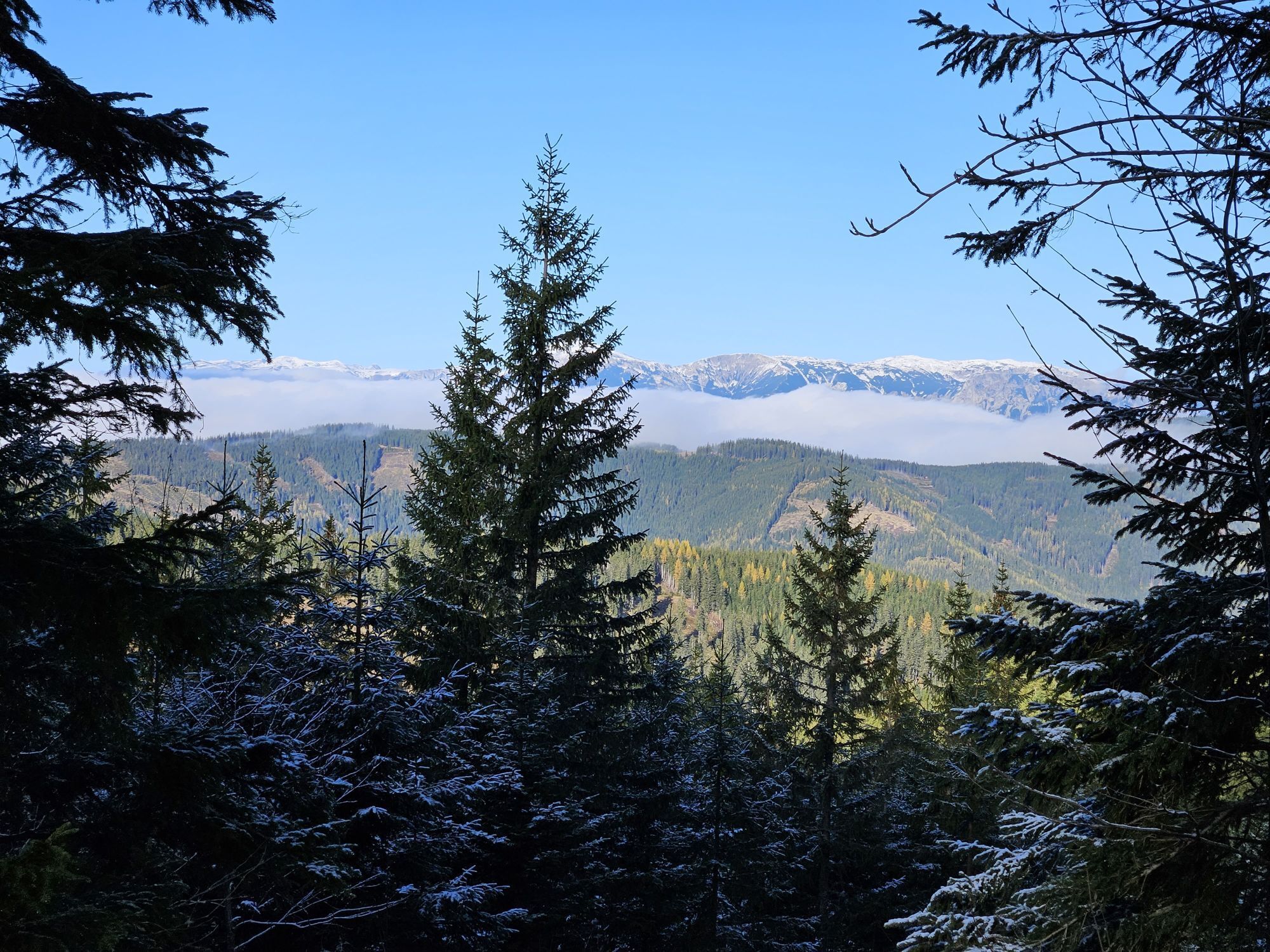
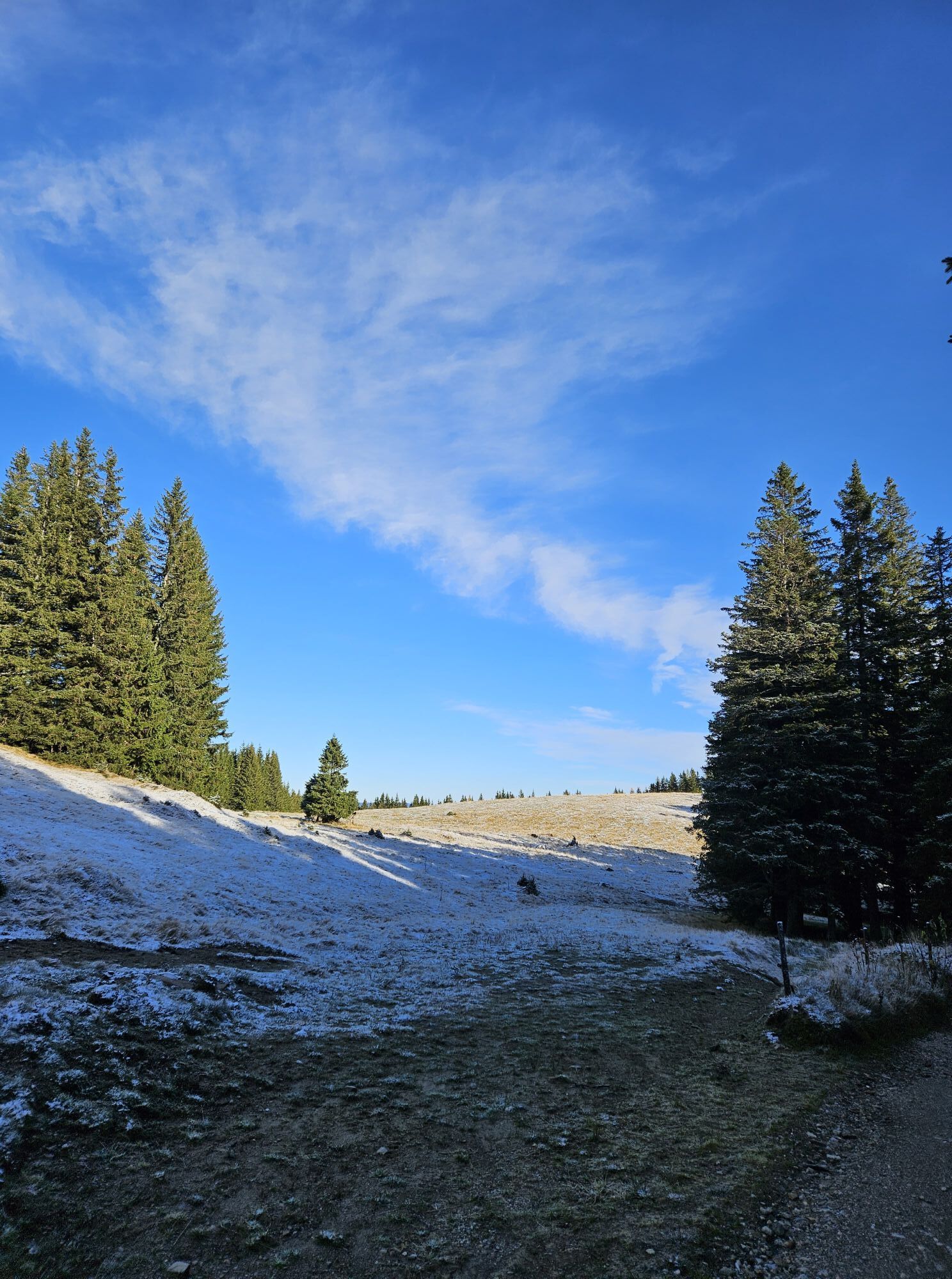
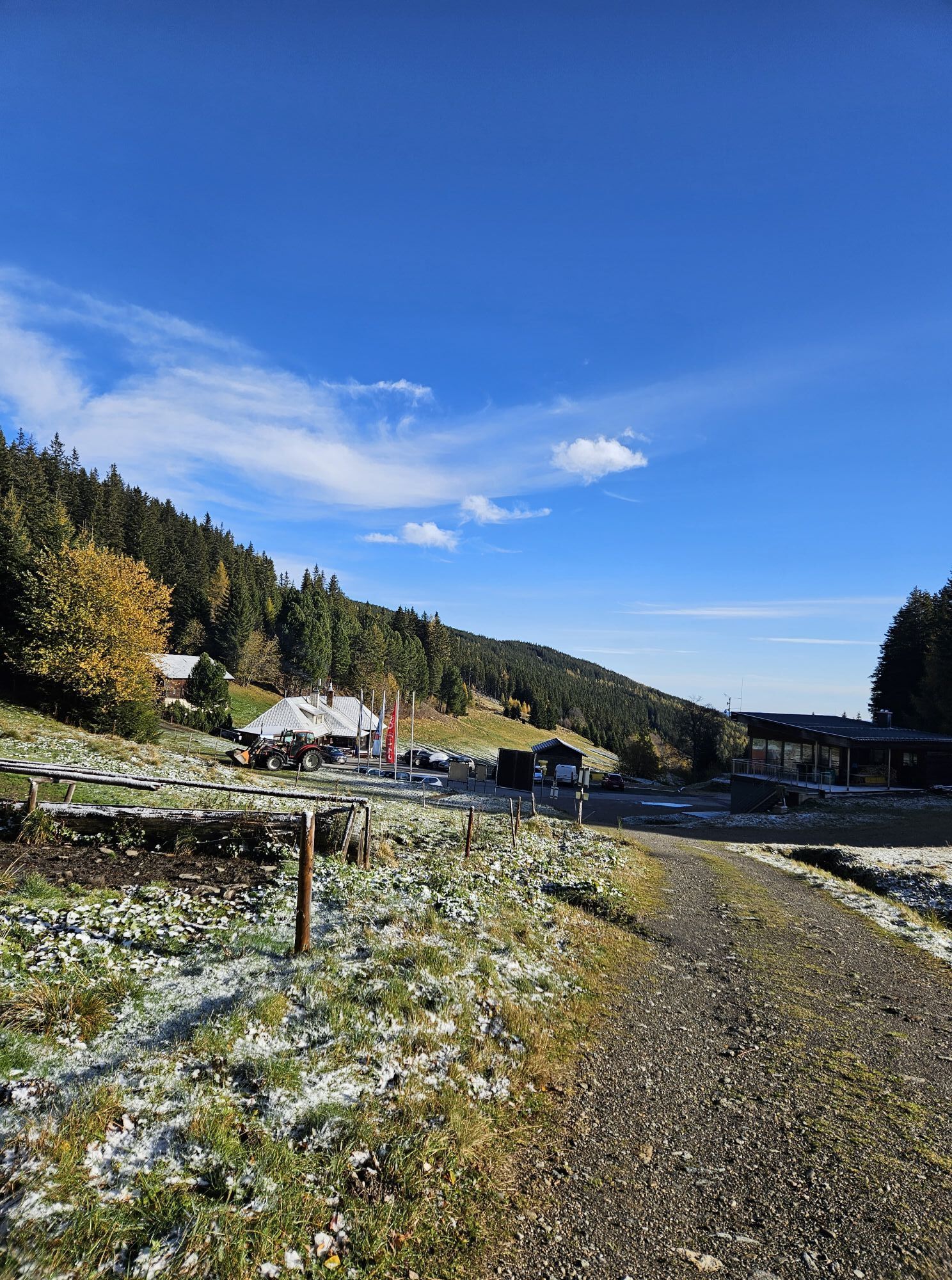
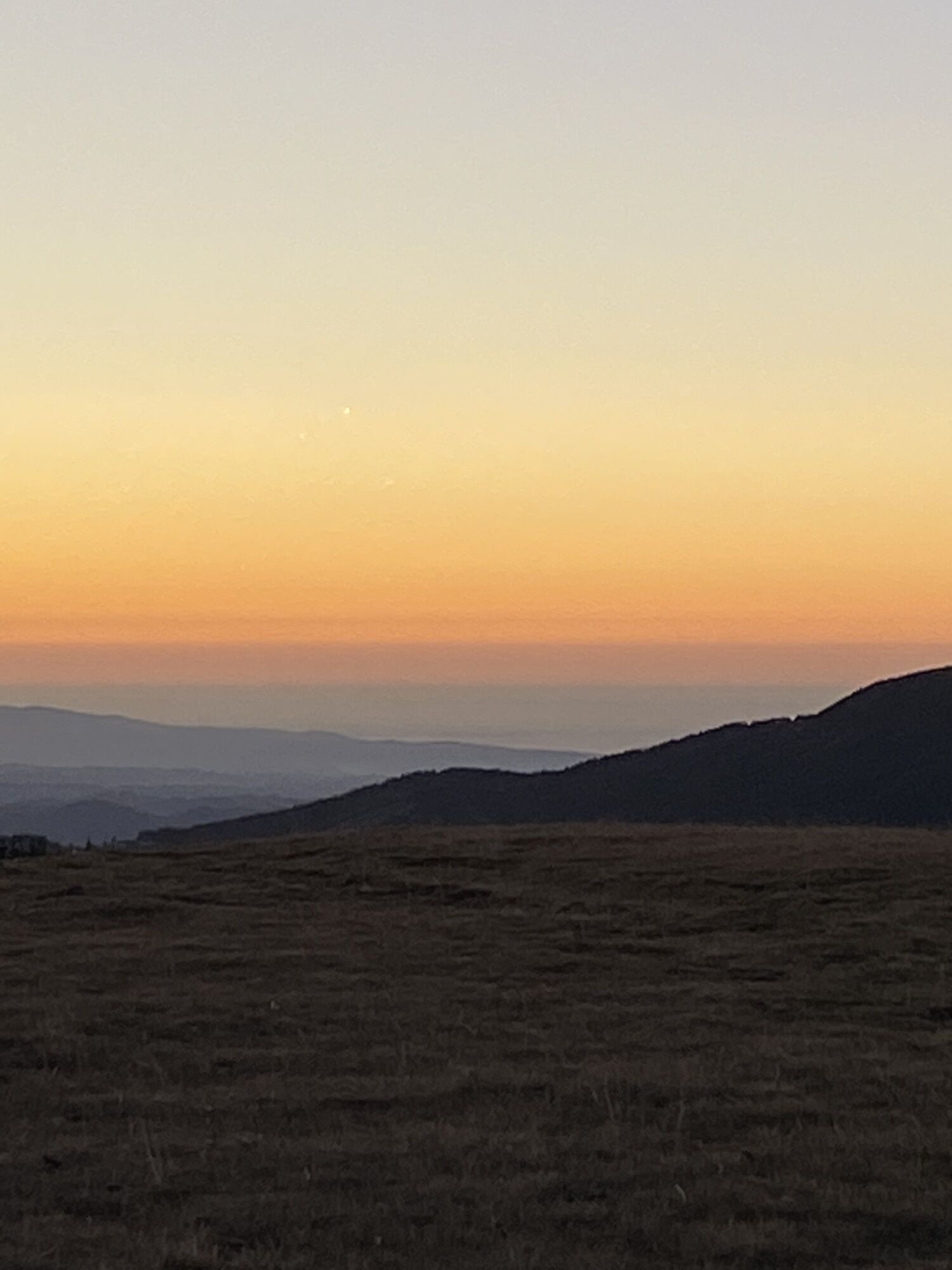
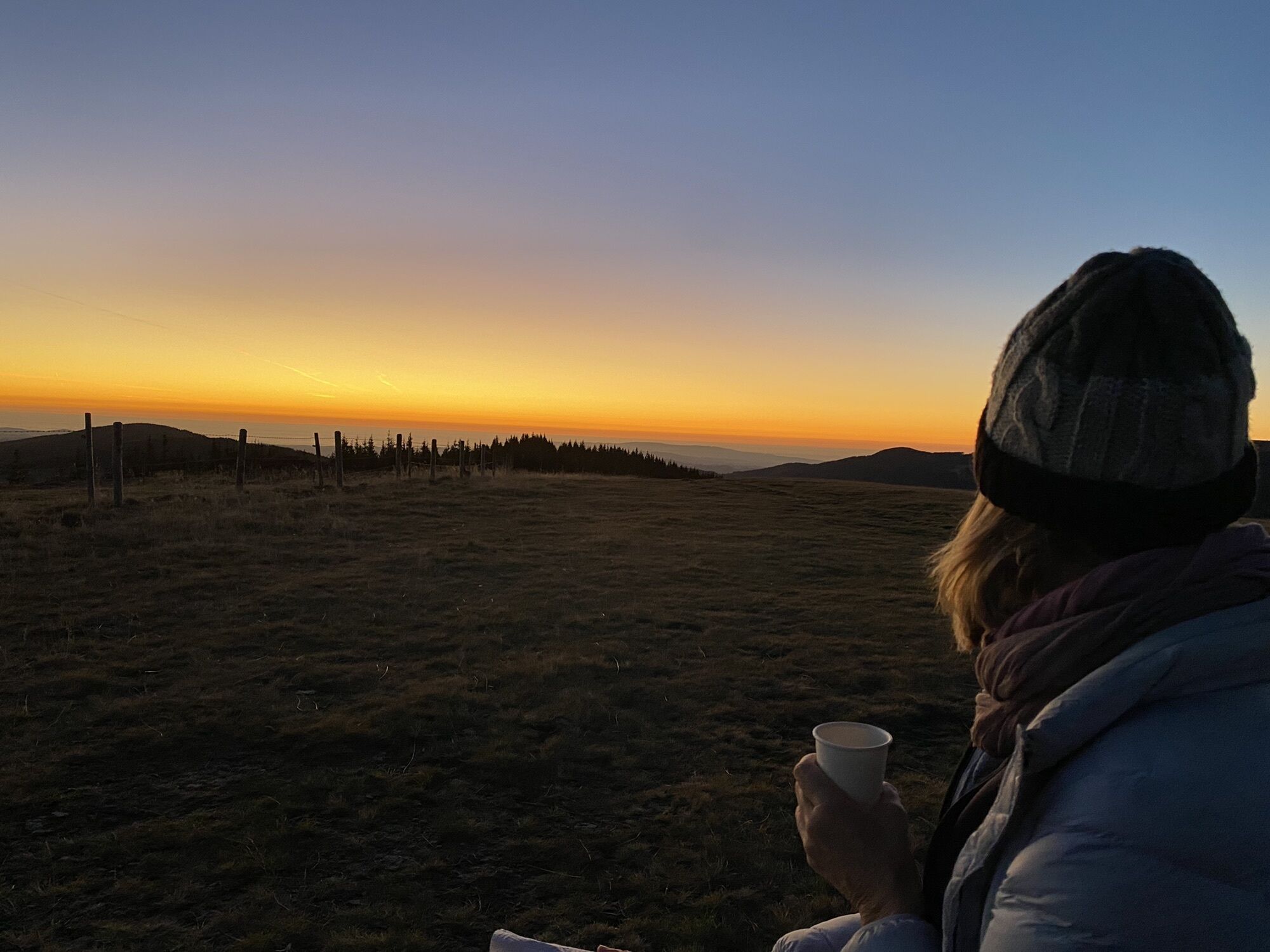
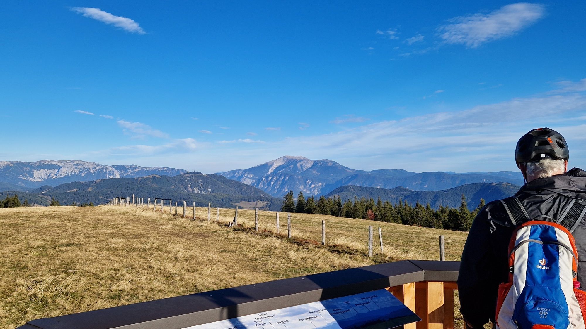
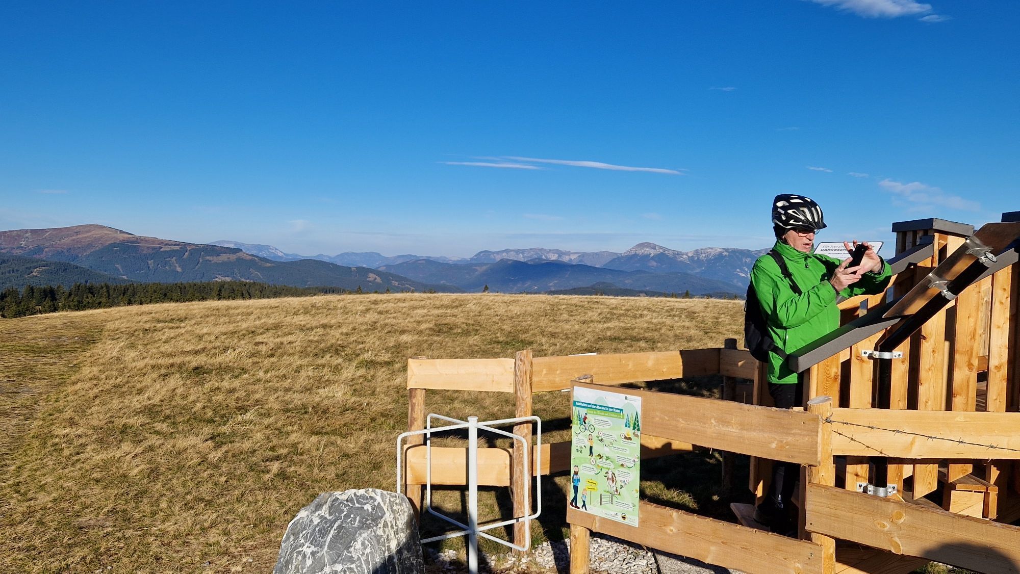
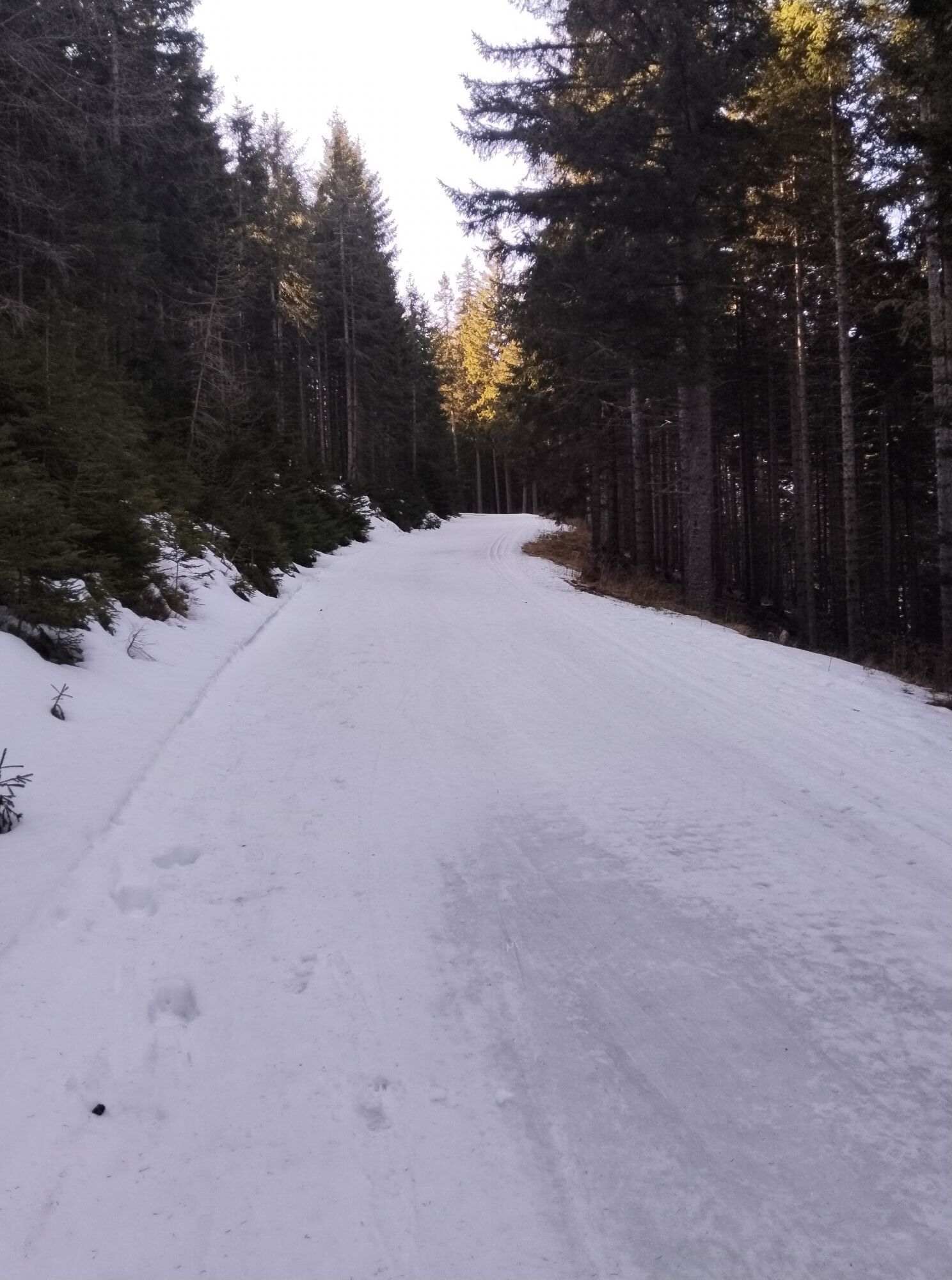
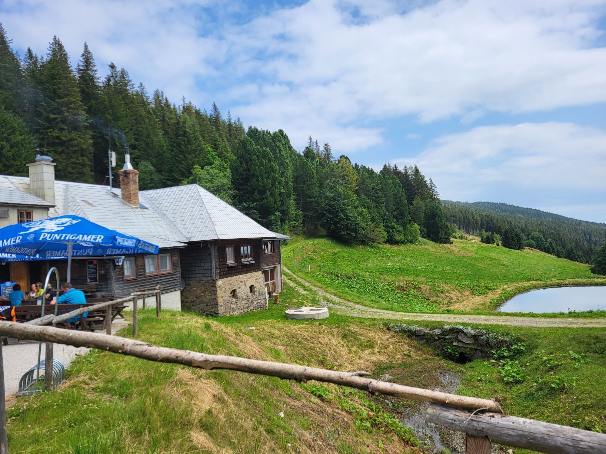
Along beautiful hiking trails at Wechsel, you pass grazing cows on the so-called Schwaigen and through quiet woods. From the Steyersberger Schwaig, it goes up to the Arabichl at 1595 m. Here you get a...
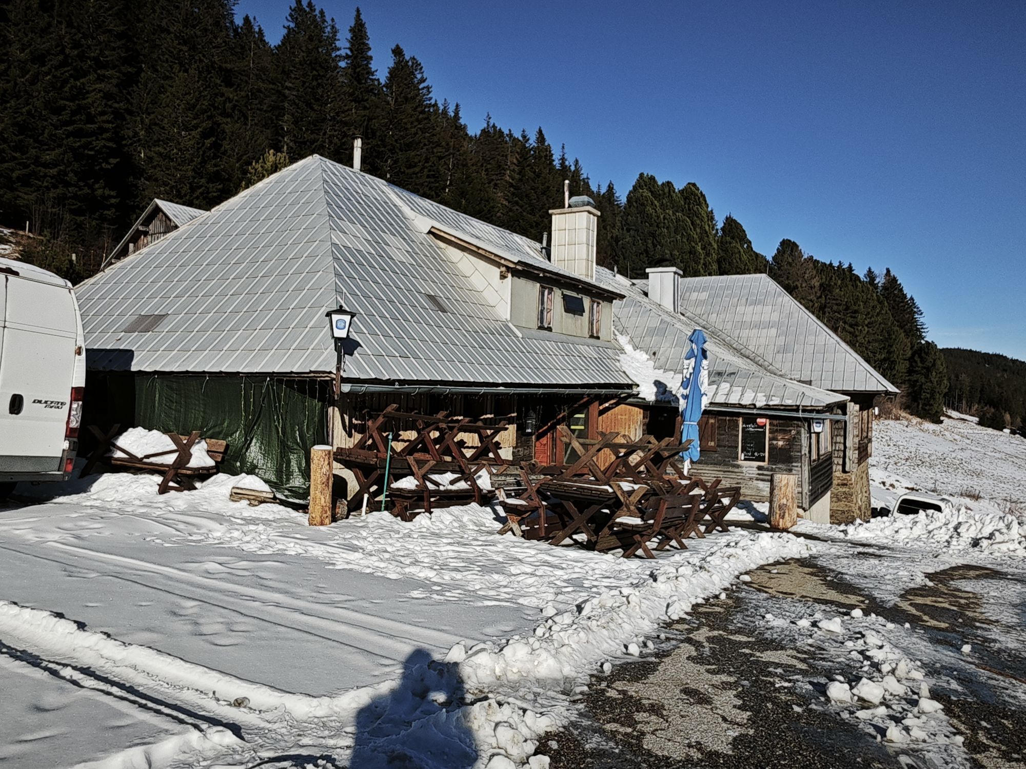
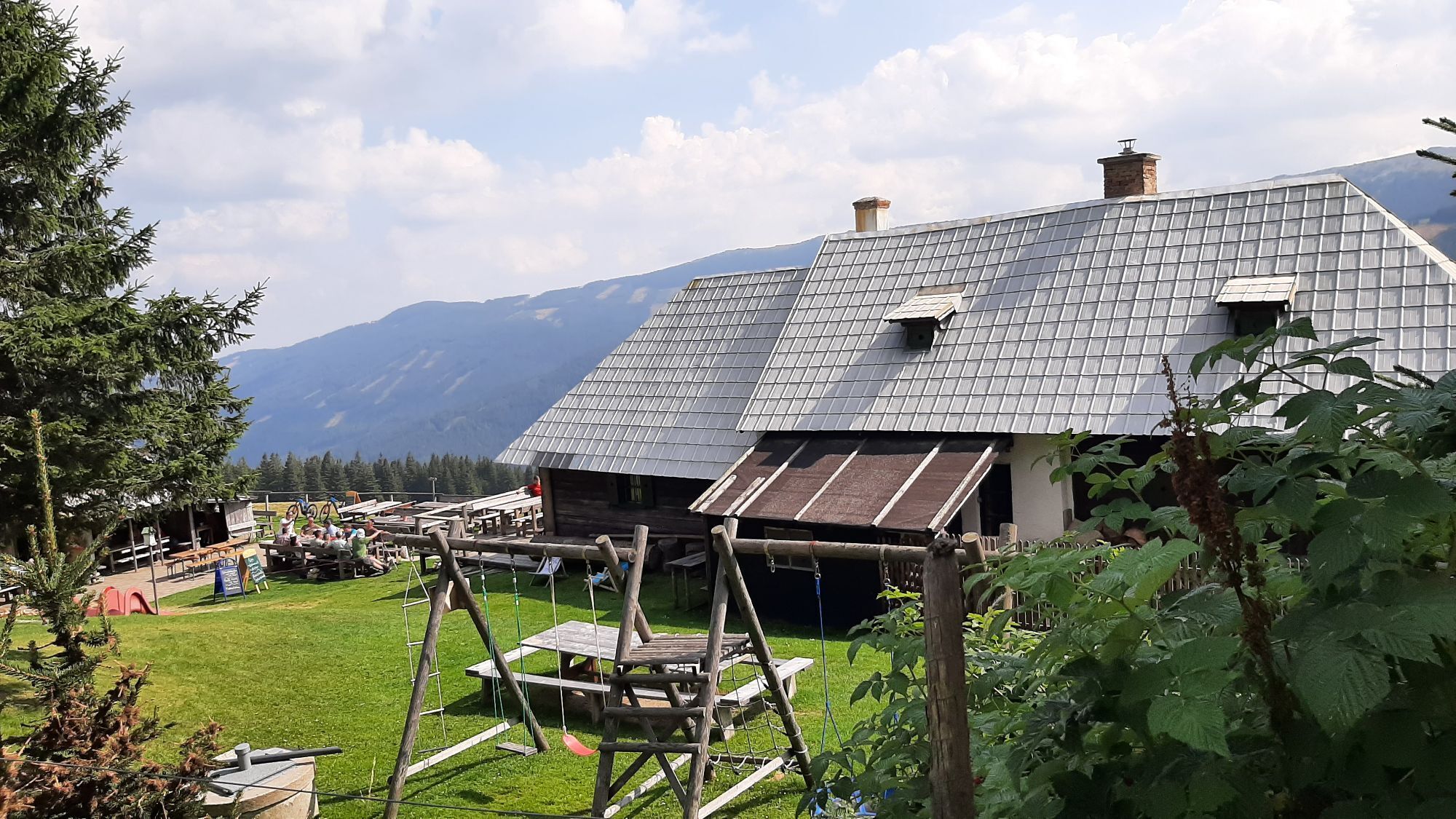
<p>Along beautiful hiking trails at Wechsel, you pass grazing cows on the so-called Schwaigen and through quiet woods. From the Steyersberger Schwaig, it goes up to the Arabichl at 1595 m. Here you get a wonderful panoramic view. After that, it goes comfortably down to 1438 m to the Feistritzer Schwaig.</p><p>Here you experience alpine idyll in the truest sense of the word. The hospitality and coziness invite you to linger. For a rest and refreshment, there is home-style cooking in the parlor, in the sheltered arbour, or on the terrace with a view to Hochwechsel. Animal lovers will hardly want to leave the Feistritzer Schwaig, because with dogs, horses, donkey, and a dwarf cow, the Schwaig is already like a small zoo. A hike to the Feistritzer Schwaig is an ideal trip for the whole family.</p>

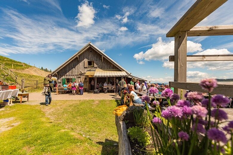
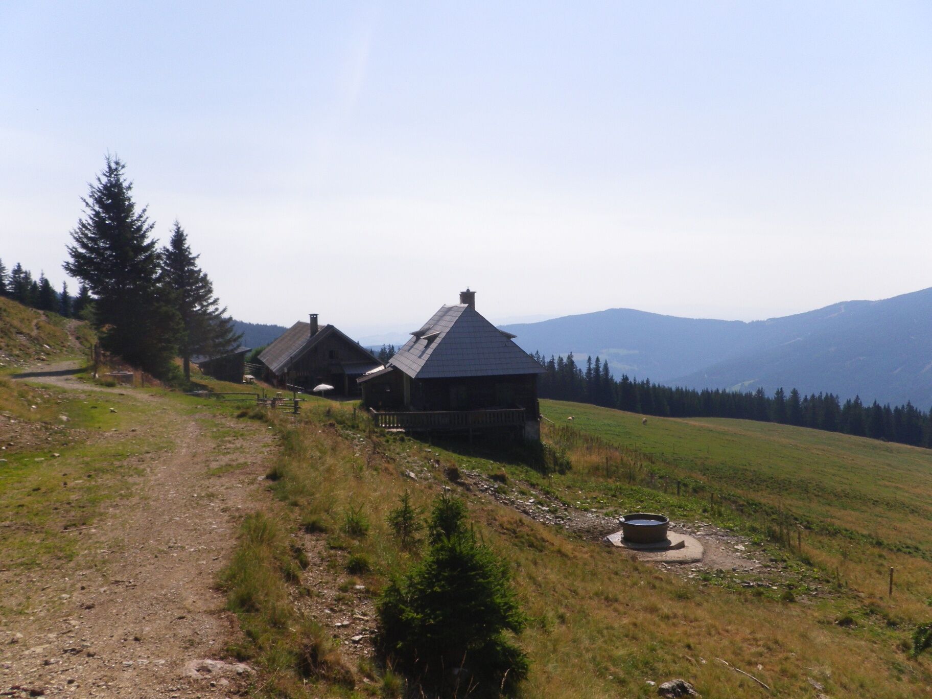
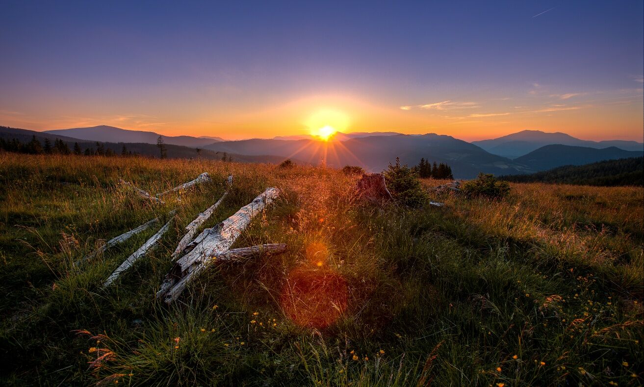
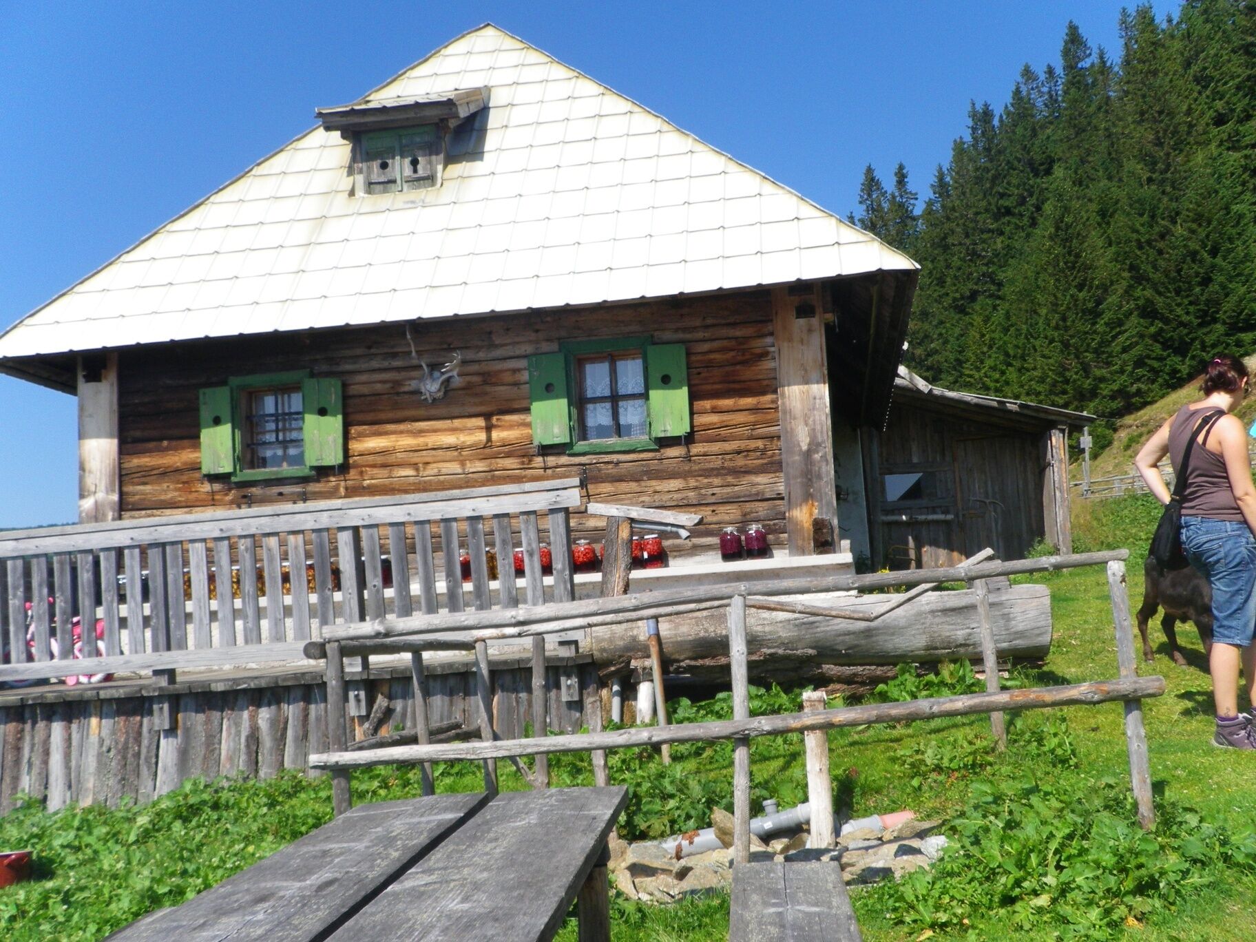
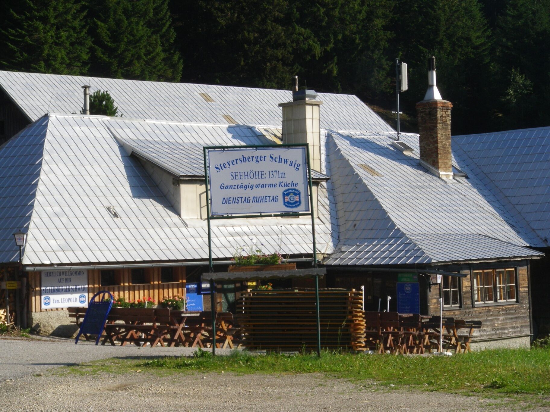

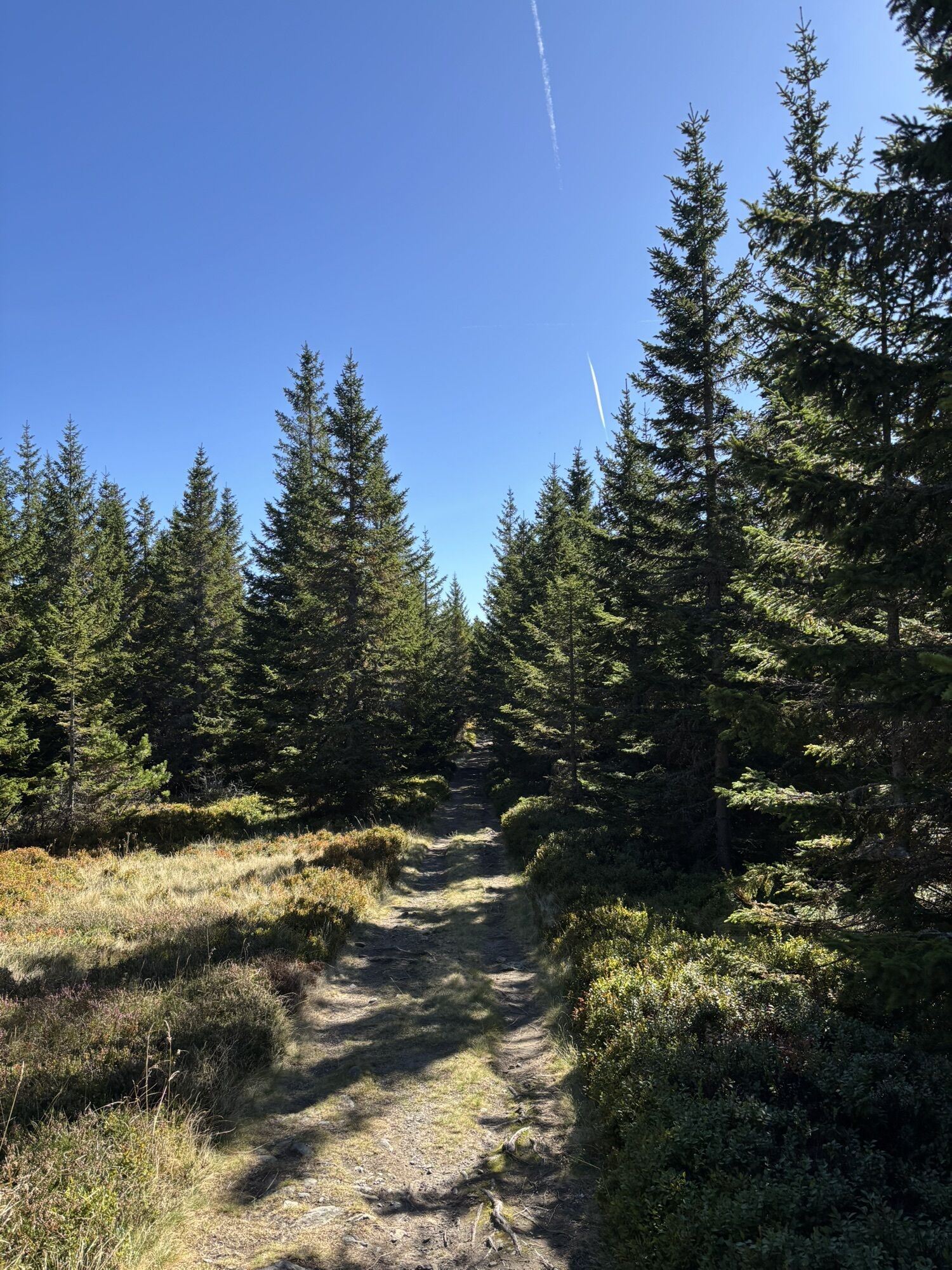
<p>We start from the Steyersberger Schwaig along the paved path upwards toward the Kirchberg ski lift and Diebsgrub. At the fork in the road, we turn left and then continue right on the path. If we turn right, we can also stop at the Kranichberger Schwaig. On the main route, we follow the path about 1.2 km straight ahead and thus reach the highest point of the route, the Arabichl. From now on, we descend on the path. After 800 m, we come to a fork, here we keep right and come to a junction where we turn left. The short section of path leads us directly to our destination, the Feistritzer Schwaig.</p>
<p>Always take suitable <strong>maps</strong> with you. Wear sturdy <strong>shoes</strong> appropriate for the route, bring sun and rain protection as well as water and a small snack. Take your <strong>mobile phone</strong> with you and save the mountain rescue emergency number: 140</p>
<p>Your hikes in the Vienna Alps should be a wonderful and safe experience all around. Please therefore note the following:</p><p><strong>Preparation </strong></p><p>Make sure when choosing the route that it matches your experience and <strong>fitness</strong>. Inform yourself in advance about the <strong>weather forecast</strong>. The weather in the mountains can change surprisingly quickly. Therefore always set out properly equipped (e.g., rain protection).</p><p>Check whether the <strong>huts and snack stations</strong> you want to visit on the way are open. <strong>Inform</strong> someone about your chosen route and planned return before you set off.</p><p>Further safety tips for your hike can be found <a href="www.wieneralpen.at/sicherheit-am-berg...
<p>If coming <strong>from Vienna</strong>, take the A2 to the Edlitz exit. Then follow the B54. Turn right onto L134, drive from Feistritz am Wechsel to Kirchberg. Turn left and then take L4186. Drive through Molzegg directly to the Steyersberger Schwaig.
</p><p><strong>Coming from Graz</strong>, follow the A2 to the Aspang exit. From Graz, drive via the B72 to the Feistritzsattel. Take L137 to St. Corona am Wechsel. Turn left onto L4186. Drive through Molzegg directly to the Steyersberger Schwaig.</p>
<p>The Steyersberger Schwaig is not directly accessible by public transport. Take the train via Wiener Neustadt to Aspang Markt and from there continue by bus to Mönichkirchen. A taxi is recommended for the rest of the way.
</p><p>More information can be found at <a href="www.oebb.at">www.öbb.at</... and <a href="www.vor.at">www.vor.at</a&...
<p>Parking available at the Steyersberger Schwaig.</p>
Vienna Alps in Lower Austria, www.wieneralpen.at, +43 / 2622 / 78960
Combine your hike with a stay at the Molzbachhof, a certified hiking establishment. Special highlight: The Paradies Gart'l.


Popularne wycieczki w okolicy
-
3,9
Schwaigen Rundwanderung
światłoWędrówka 8,24 km -
3,8
St. Corona - Kampstein
średniWędrówka 10,7 km -
4,7
Hochwechsel - Tour
Wędrówka 18,5 km -
4,6
Hochwechsel-Runde, Waldbach-Mönichwald
średniWędrówka 17,9 km -
4,5
Romai Wasserfall Runde, St. Jakob im Walde
średniWędrówka 11,4 km -
4,7
Fischbacher Alpen: Vom Pfaffensattel zum Stuhleck
światłoRakieta do chodzenia po śniegu 2,45 km -
4,6
Mariensee - Wildwasserweg - Marienseer Schwaig
światłoWędrówka 8 km -
4,6
Hochwechsel
średniWędrówka 14,3 km -
4,6
Klamm - Speckbacherhütte - Breitenstein - Klamm
średniWędrówka 13,4 km -
4,5
Vom Semmering nach Breitenstein am Bahnwanderweg (September 2023, mit Update 2026)
światłoWędrówka 9,94 km
Wędrówki i tropienie


Nie przegap ofert i inspiracji na następne wakacje
Twój adres e-mail została dodana do listy mailingowej.





