







WAB - Regional Route D: Bad Schönau - Krumbach

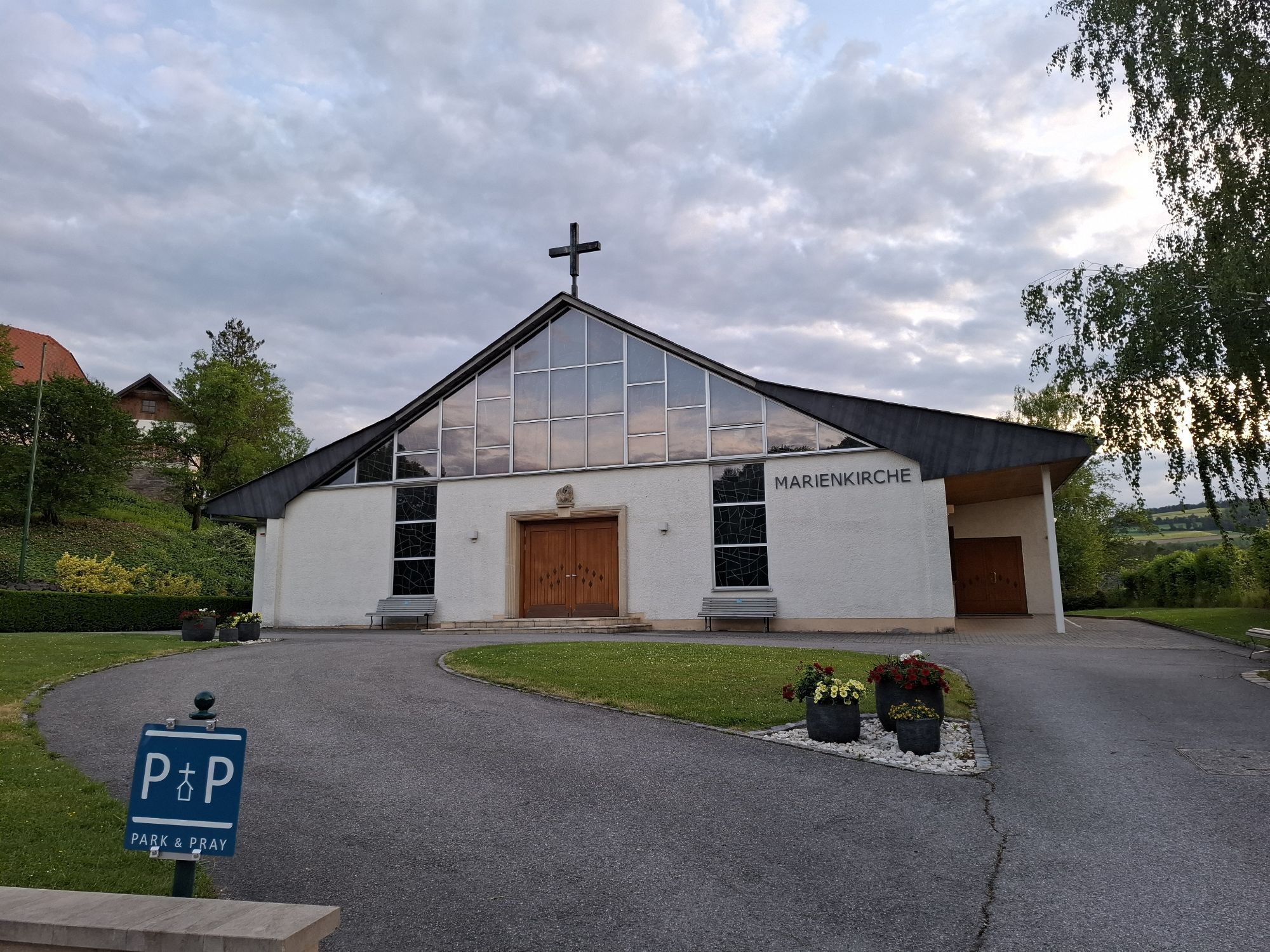
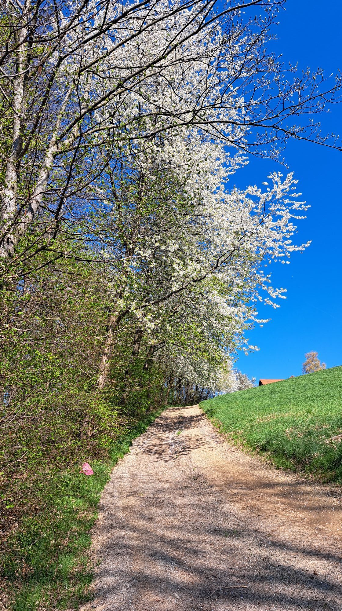
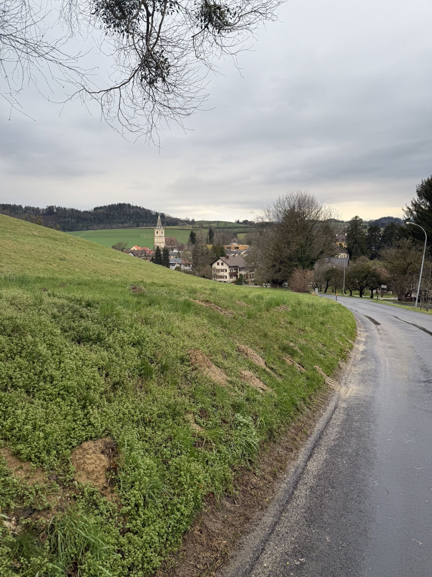
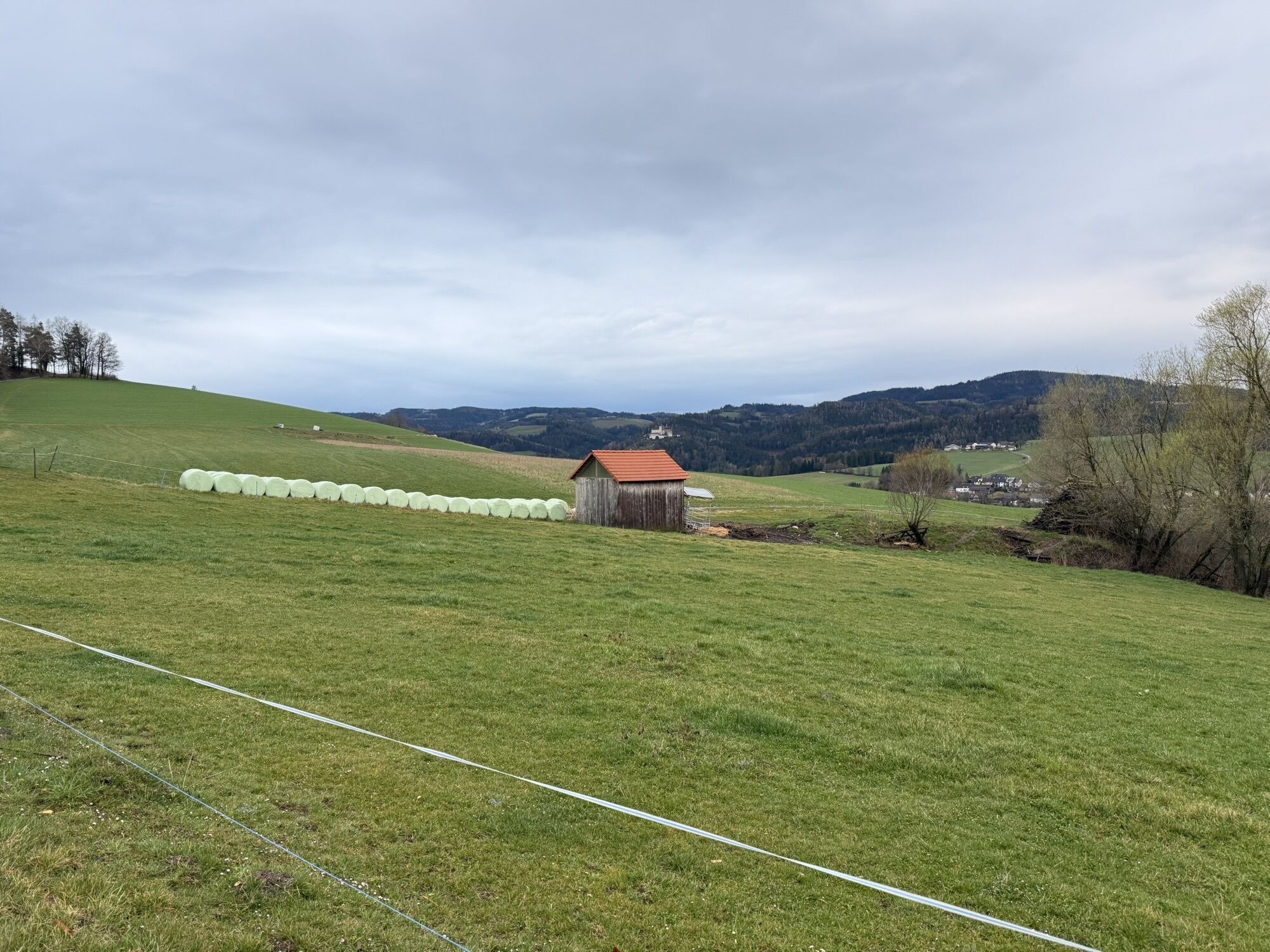
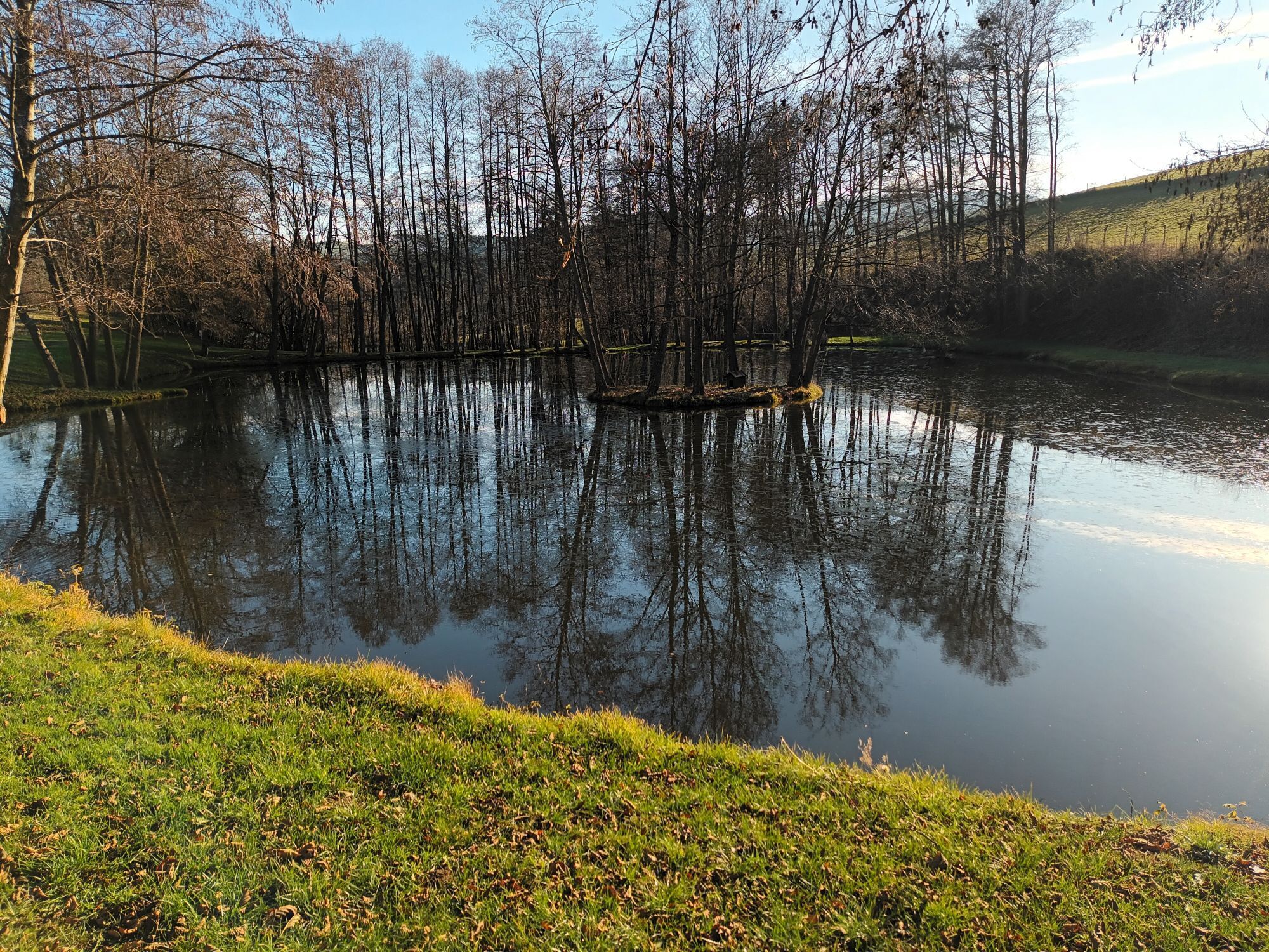
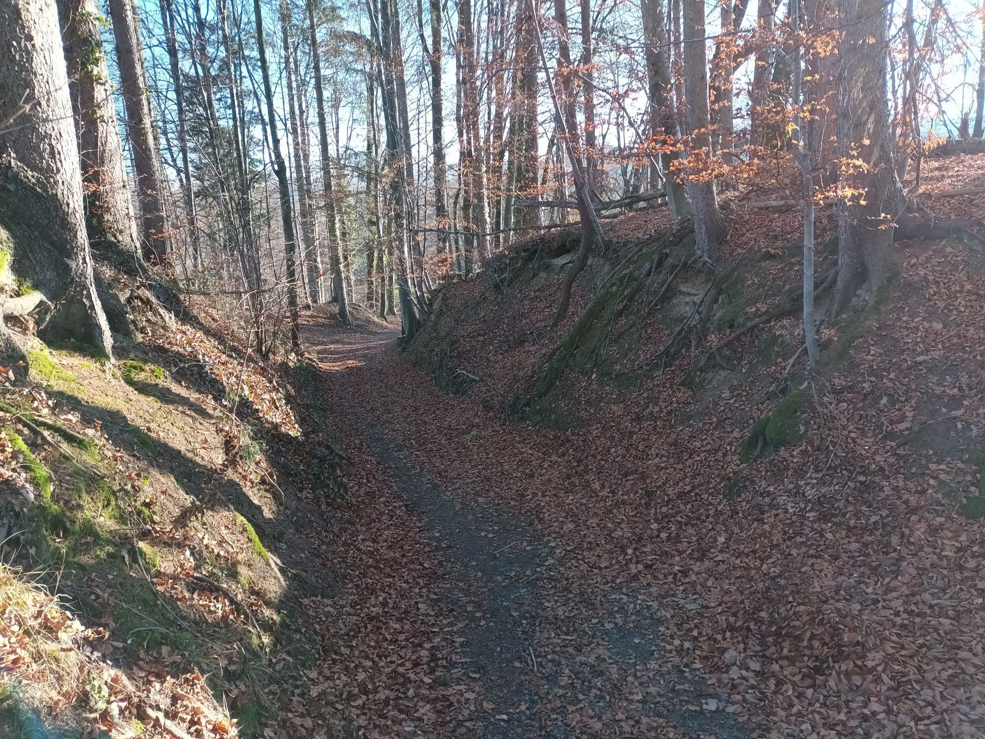
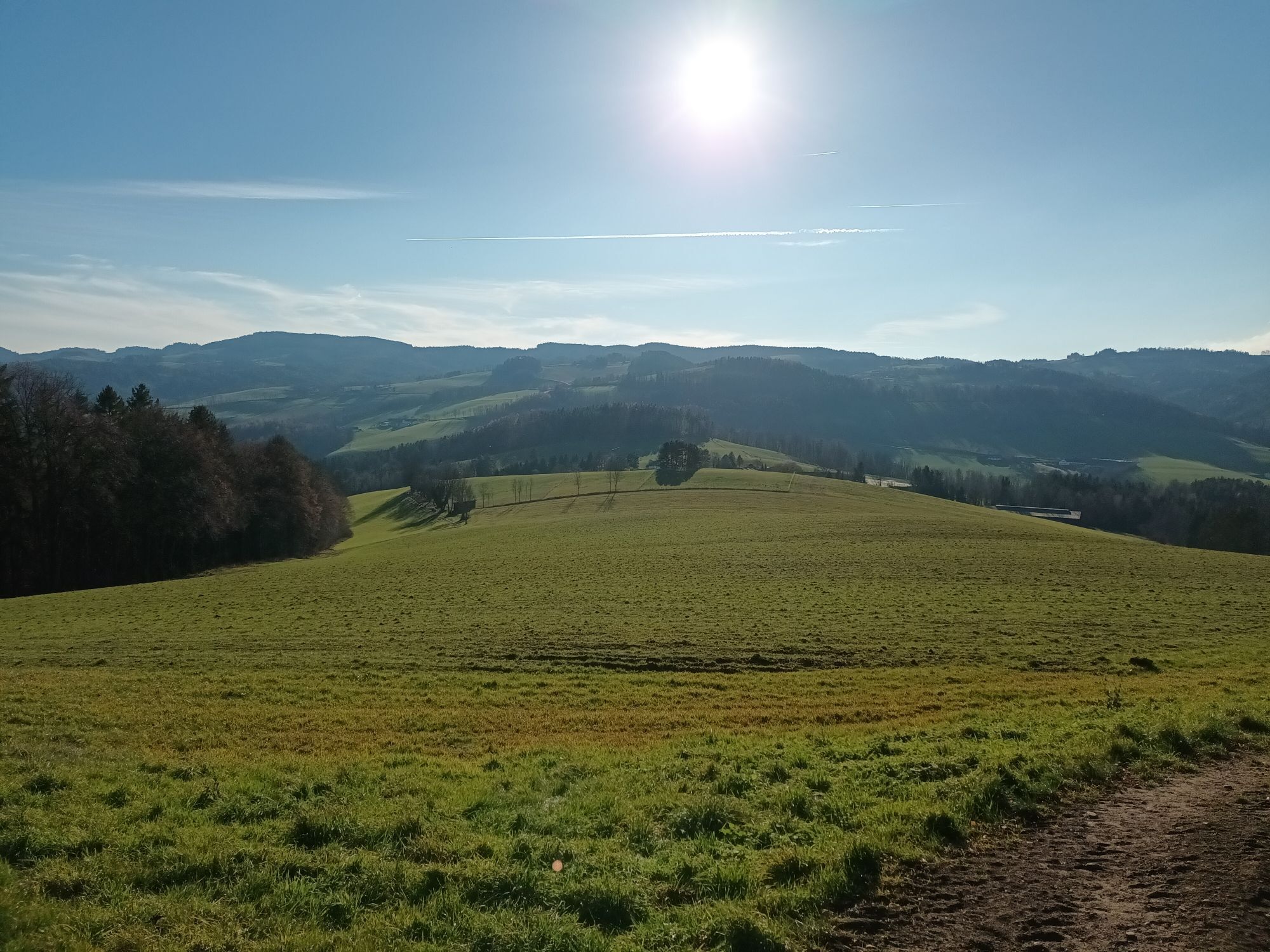
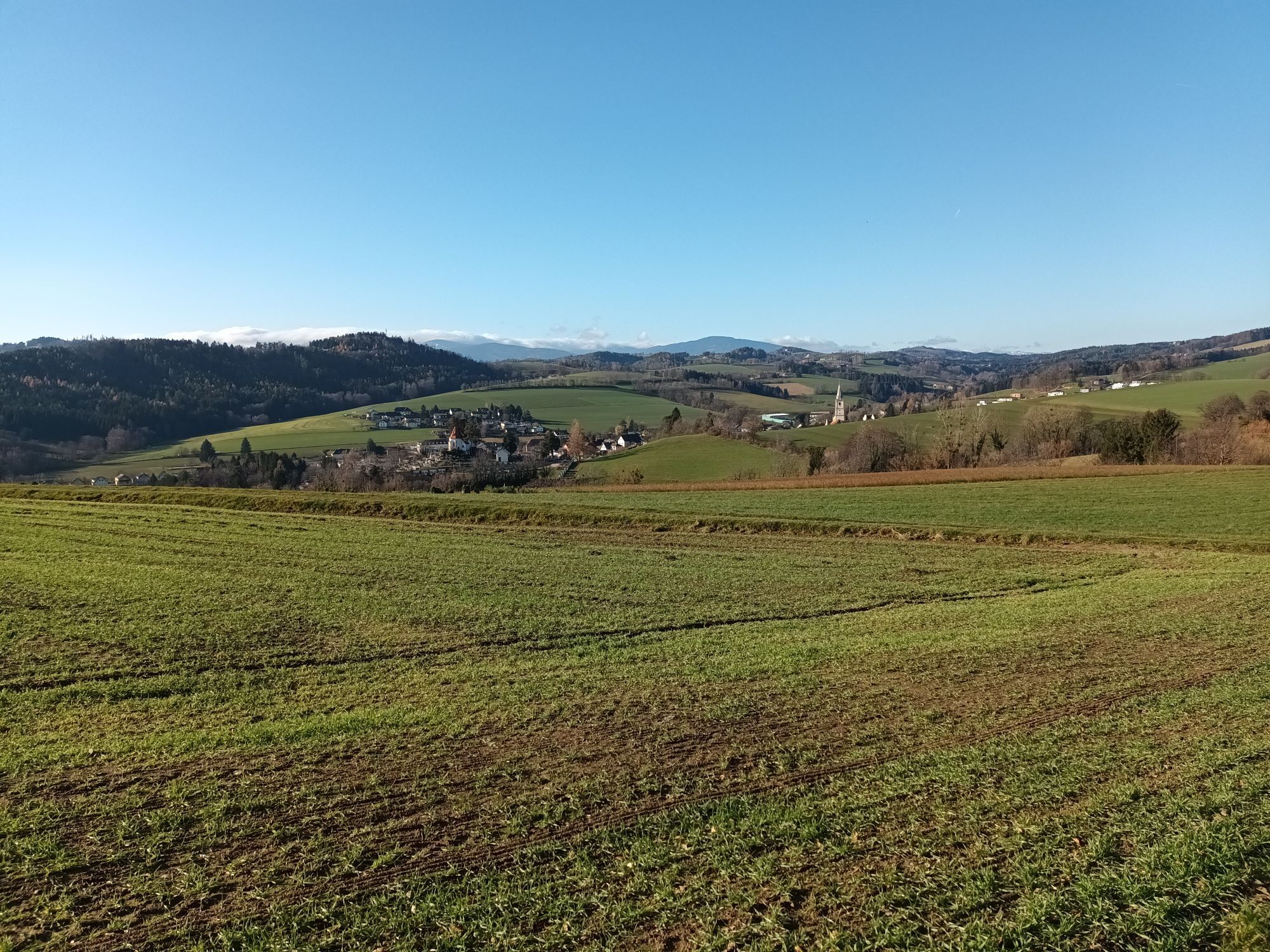
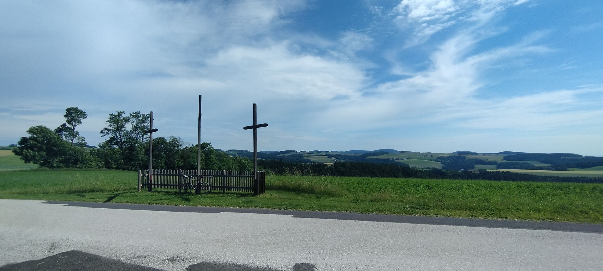
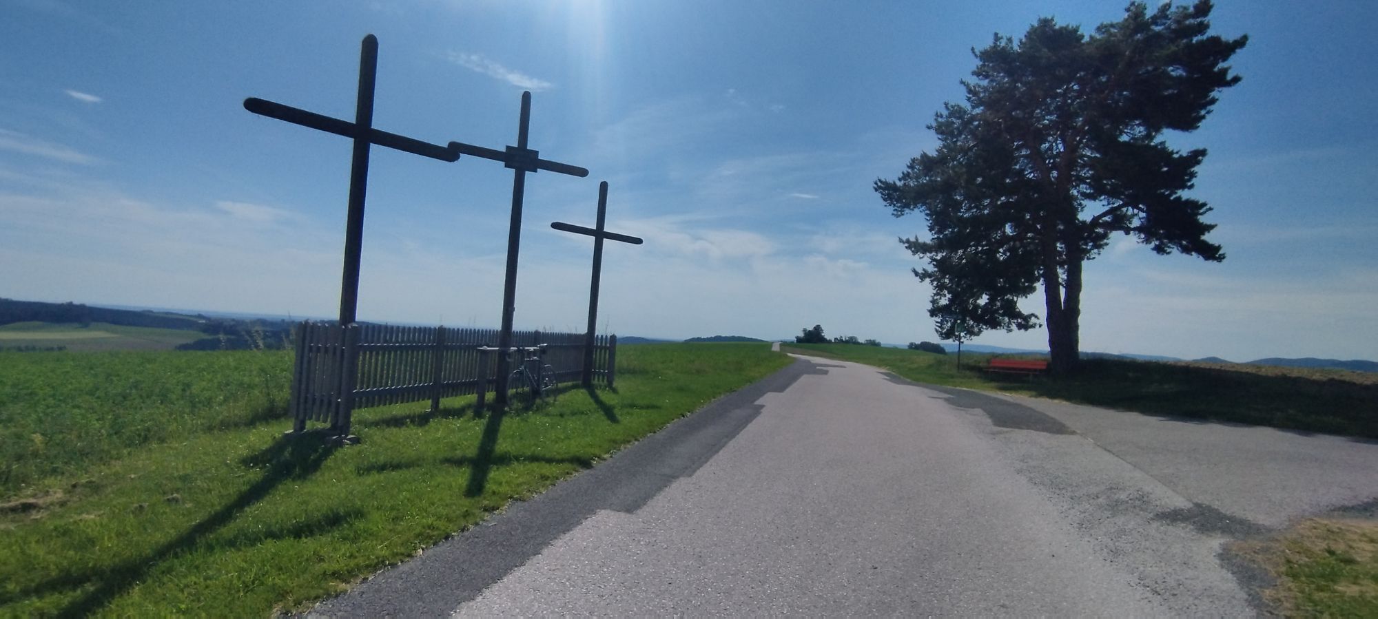

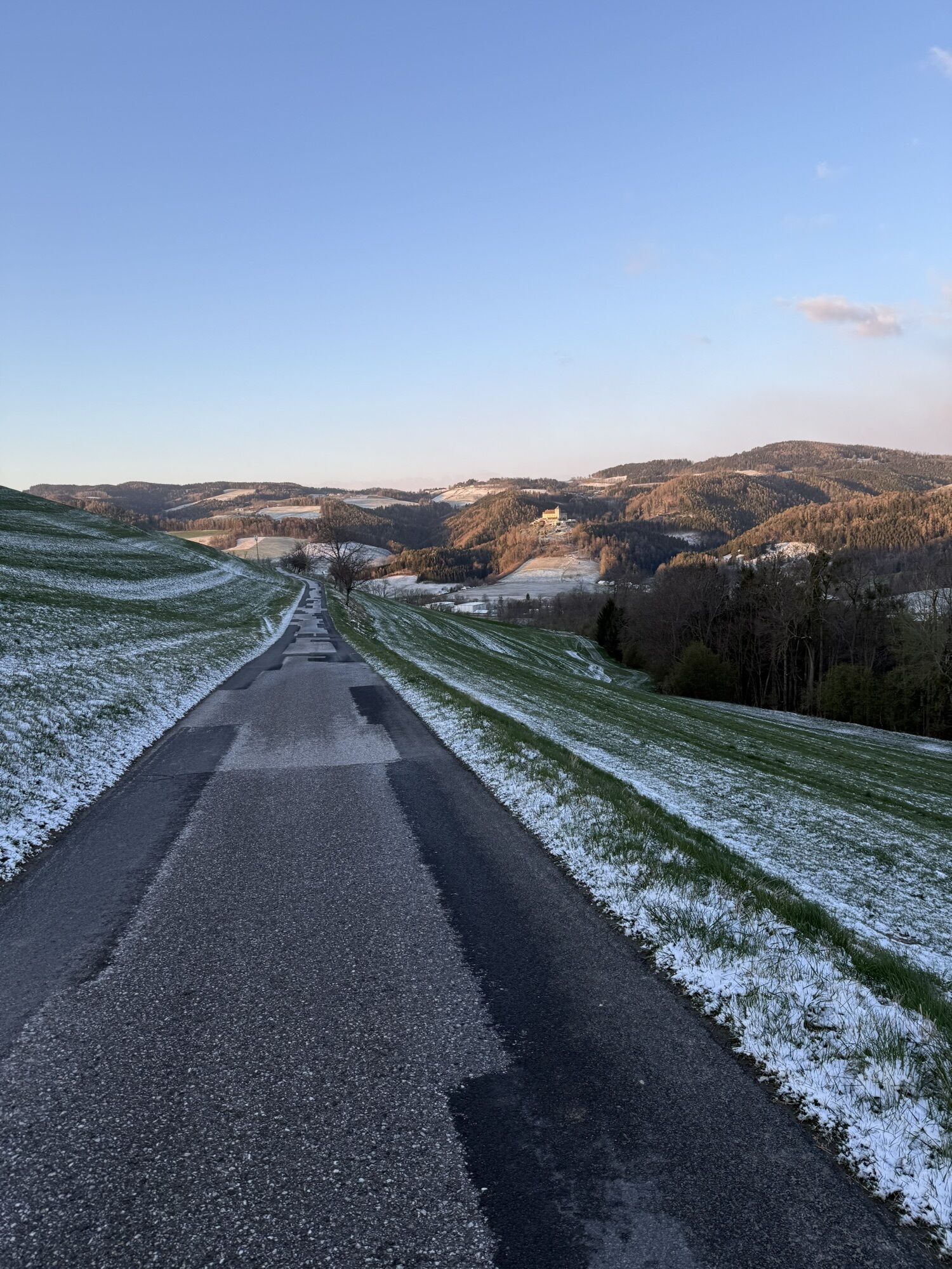
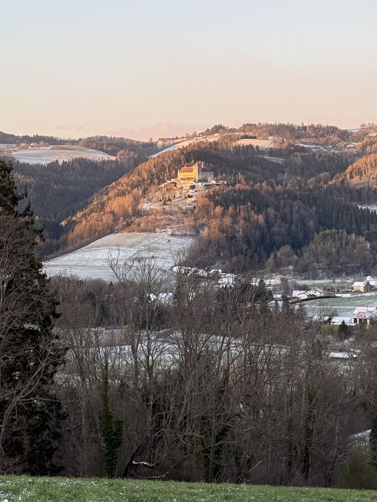
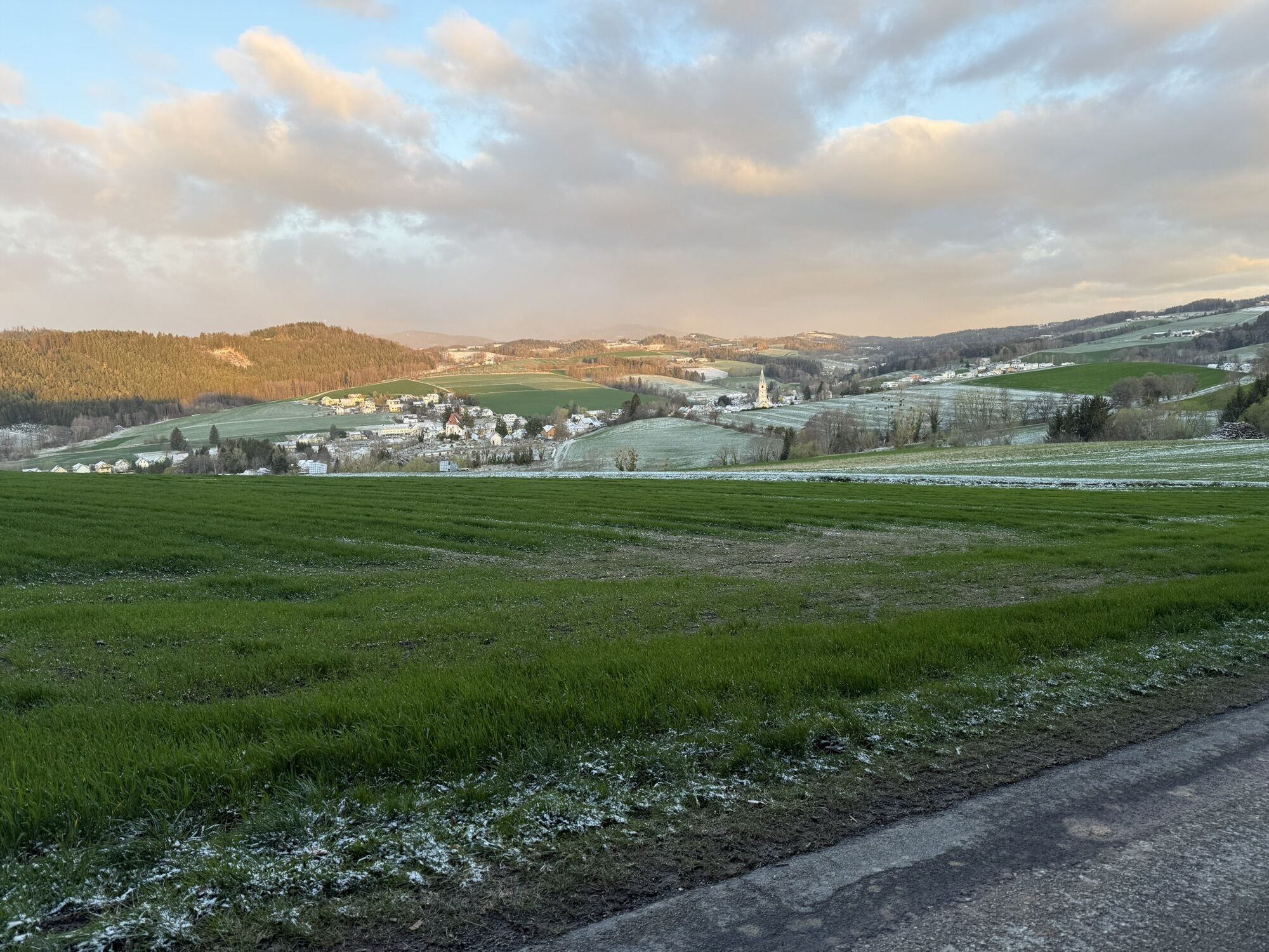

This section offers a varied up and down with ever new views and insights through the Bucklige Welt. The highlight at the beginning of the route is the spa park in the town center in the flower village...
<p>This section offers a varied up and down with ever new views and insights through the Bucklige Welt. The highlight at the beginning of the route is the spa park in the town center in the flower village Bad Schönau. Then follows the Triad, a stylish rural restaurant with star ratings. Two Gault Millau stars and three à la carte stars make Uwe Machreich one of the best chefs in the country. A highlight at the end of the hike is the historic market and town center in Krumbach with the museum village. The museum village in Krumbach consists of five historic buildings: such as an old farmhouse, a chapel, and the old citizens’ hospital. This open-air museum tells the story of Krumbach and illustrates rural and religious life in the Bucklige Welt.</p>

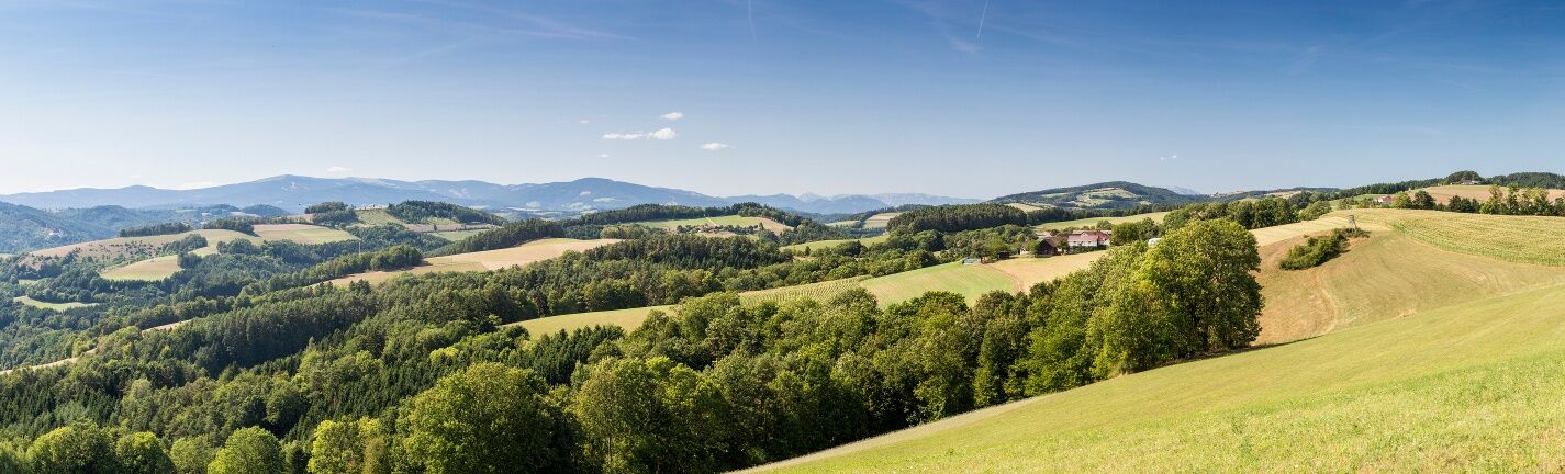
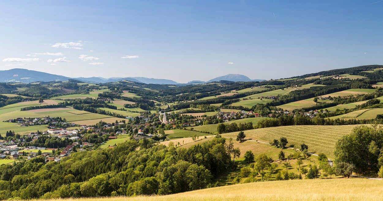
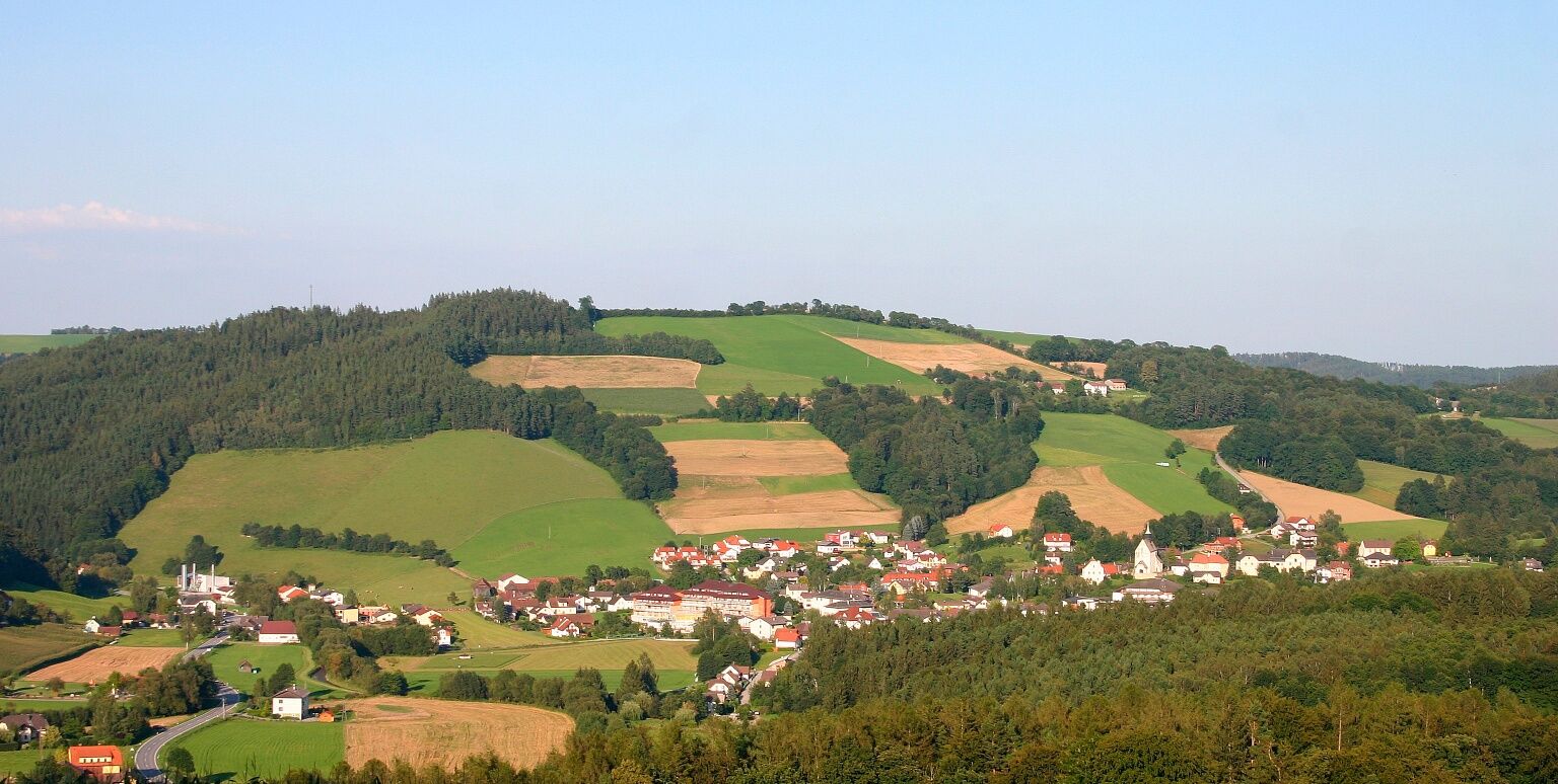
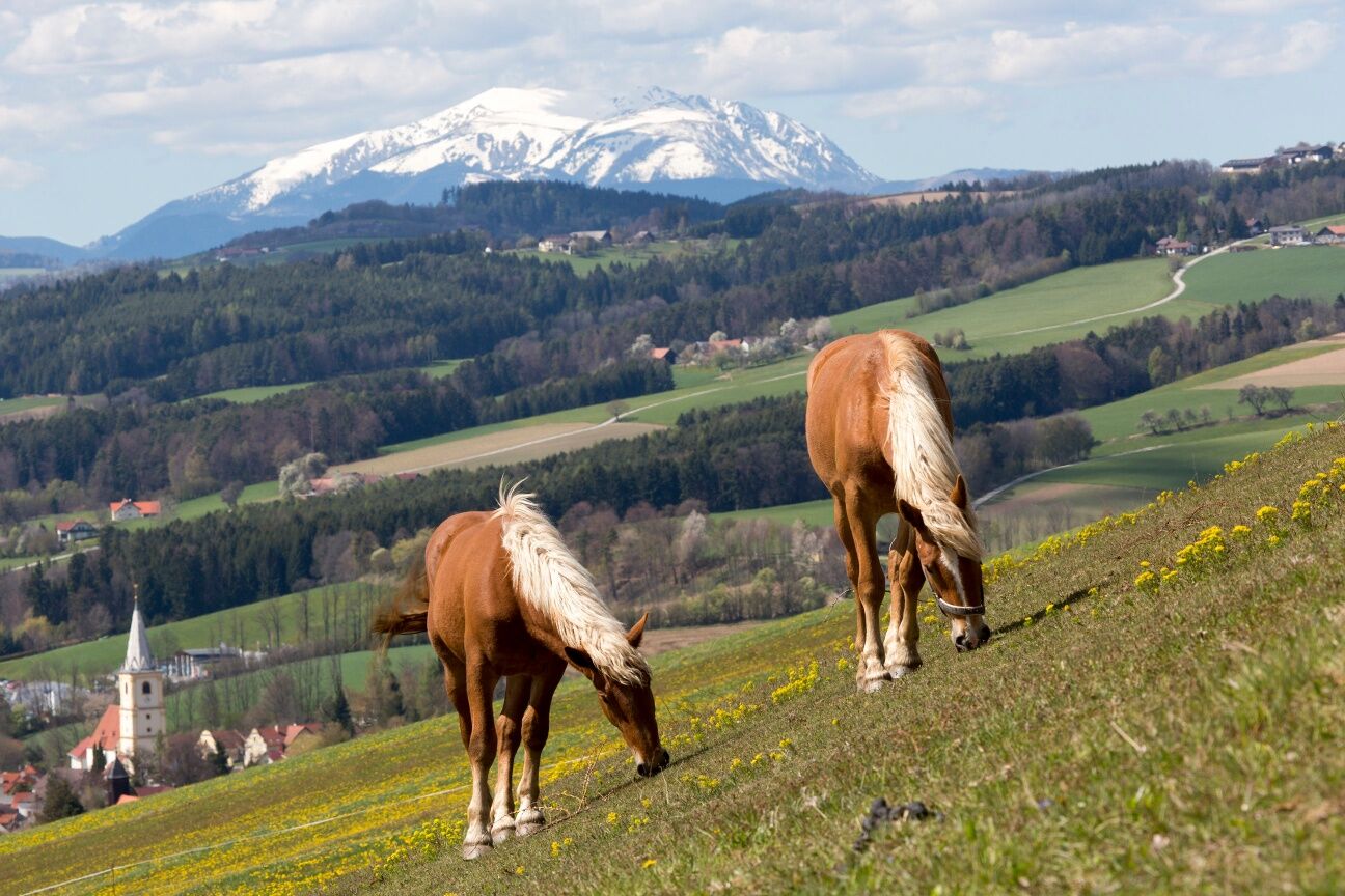
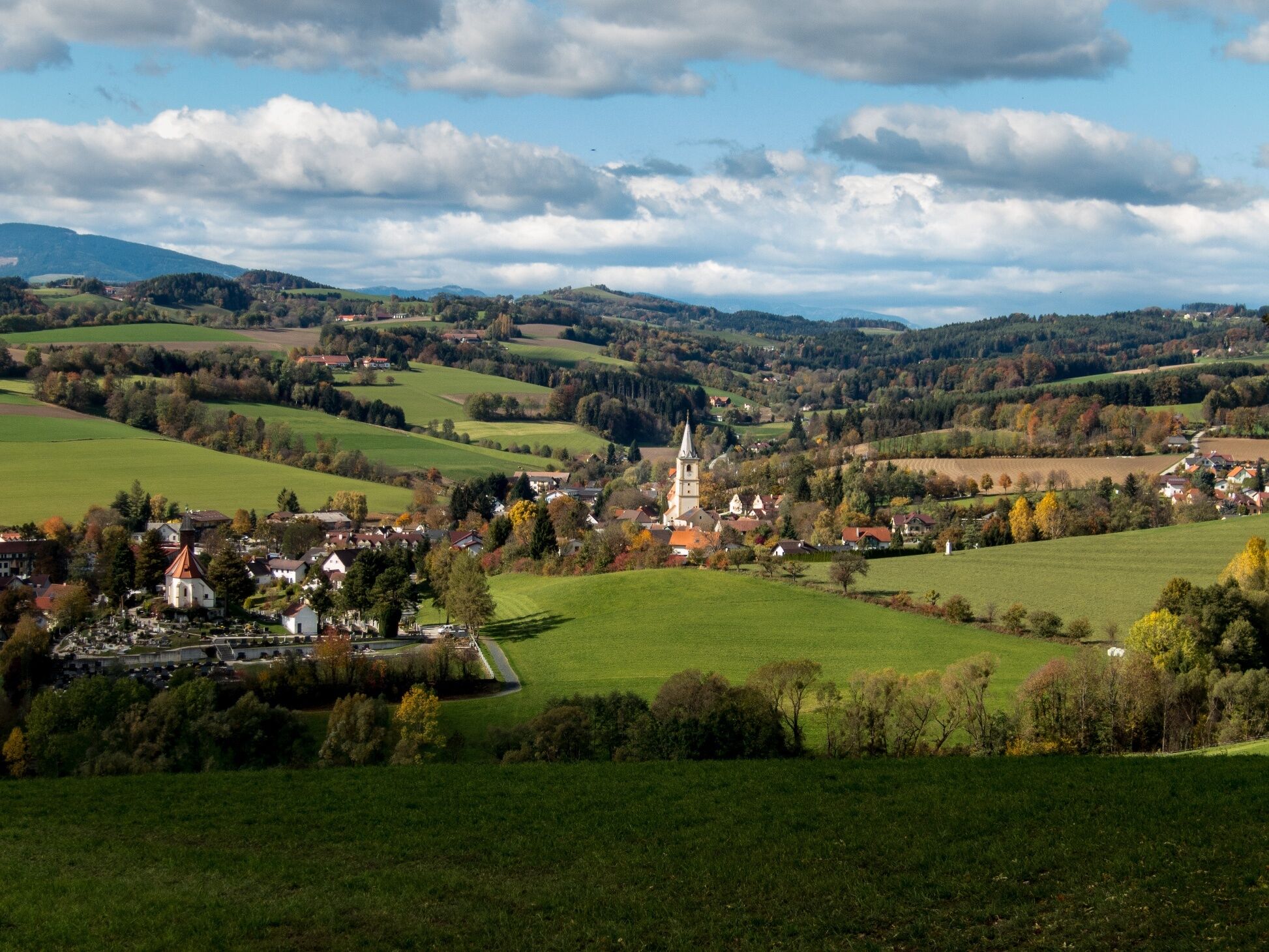
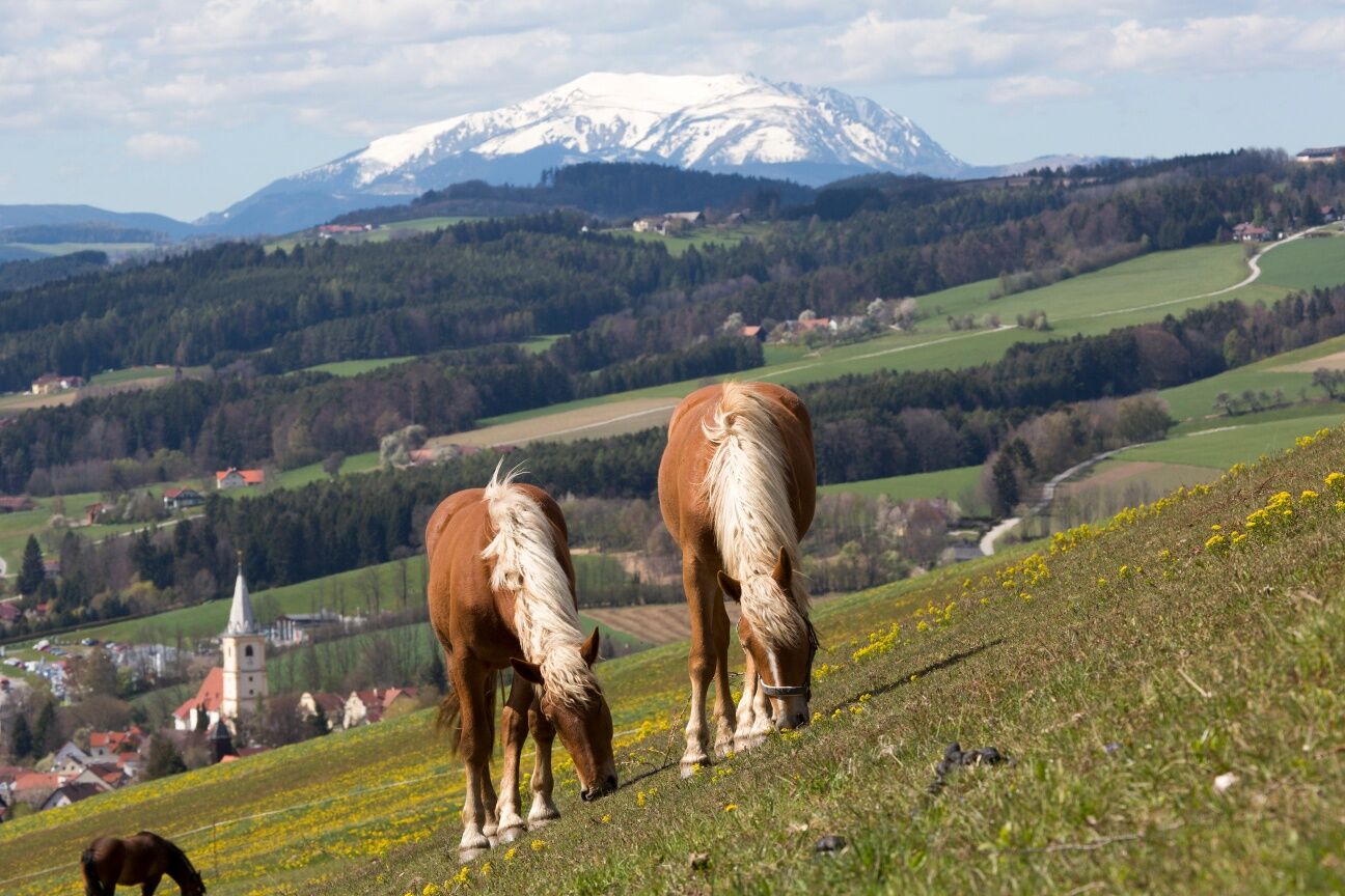
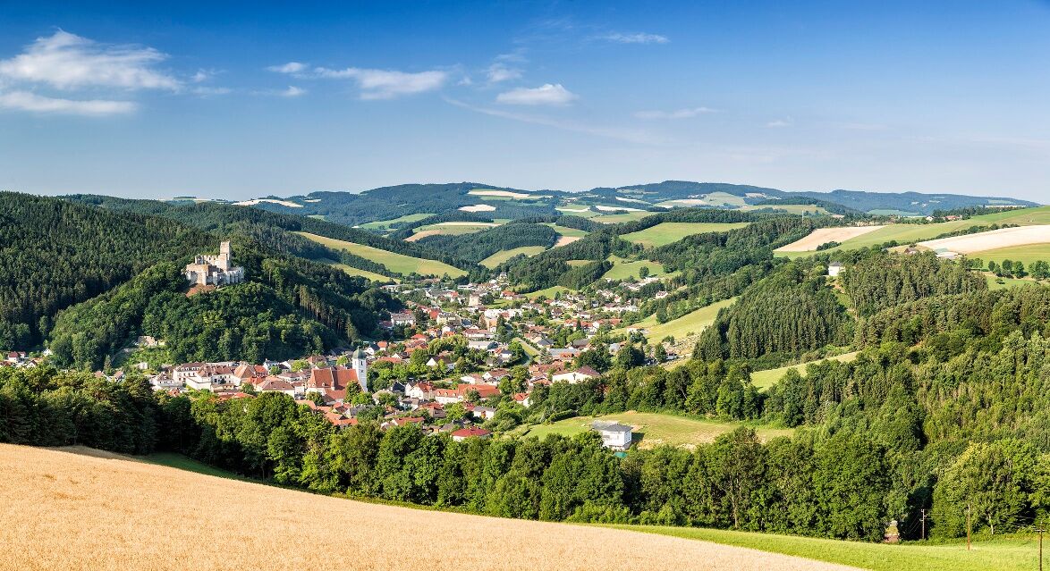
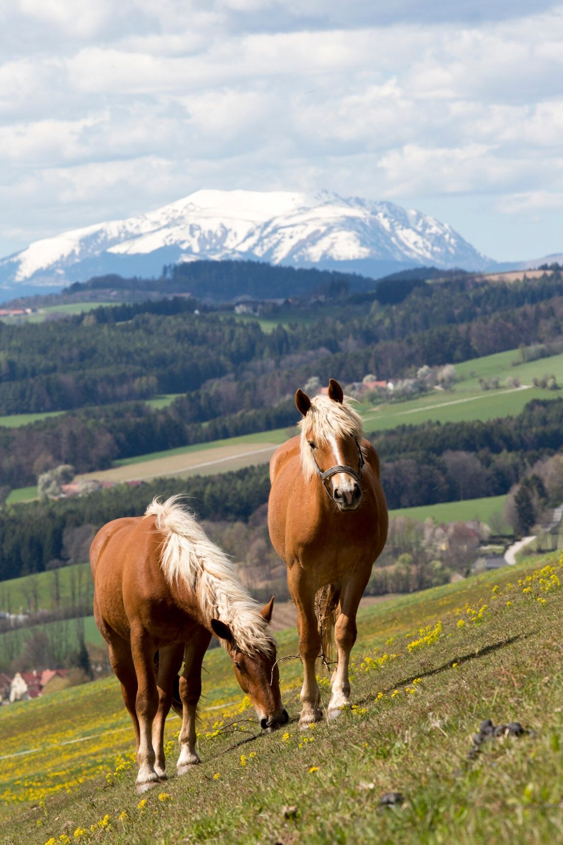
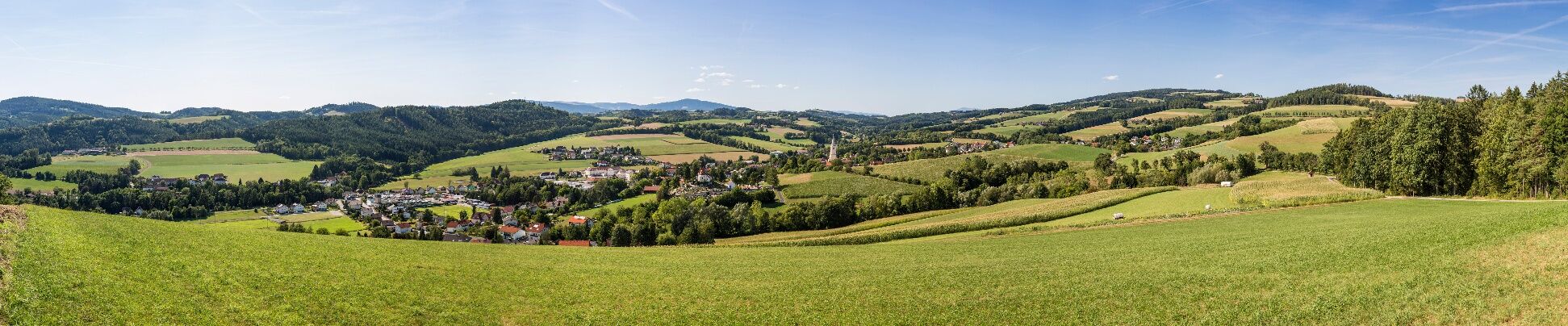
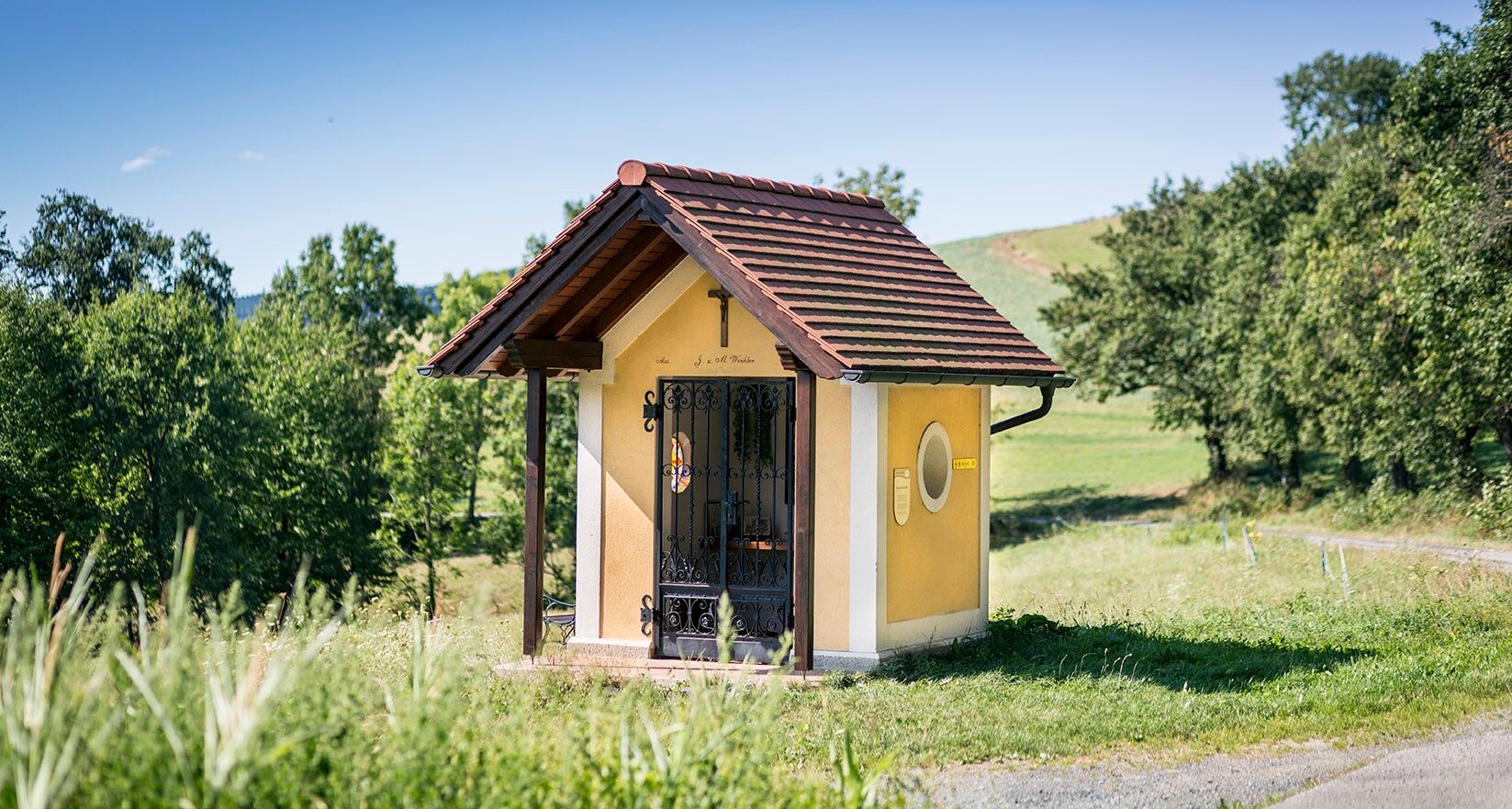
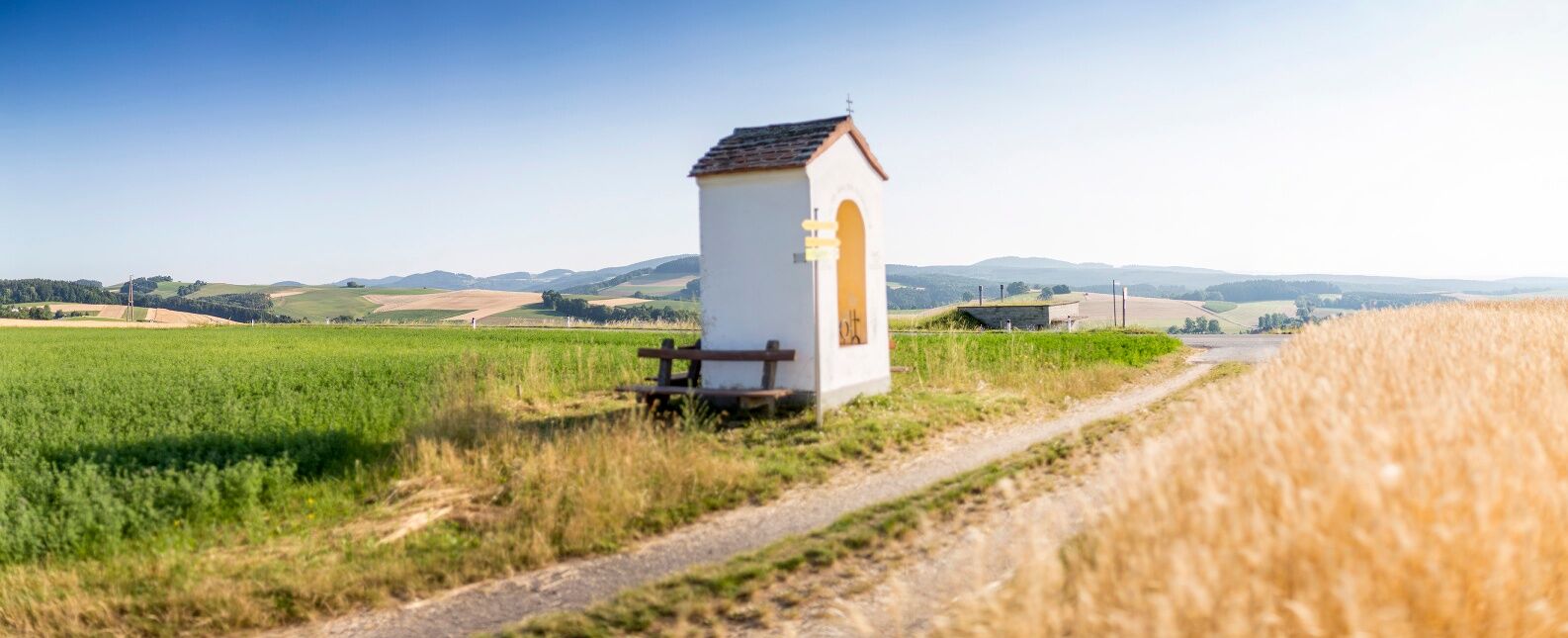
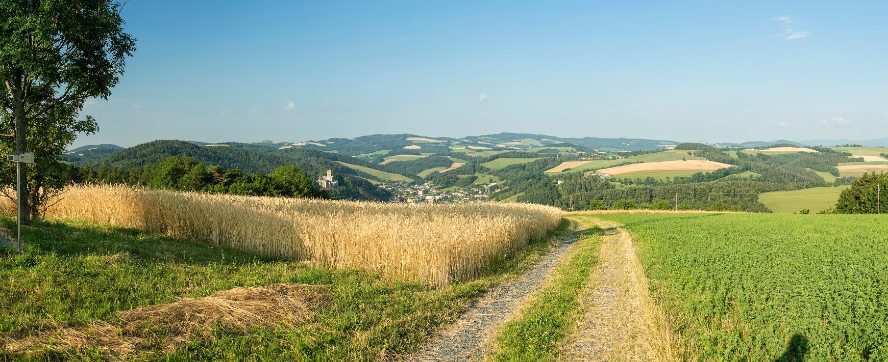
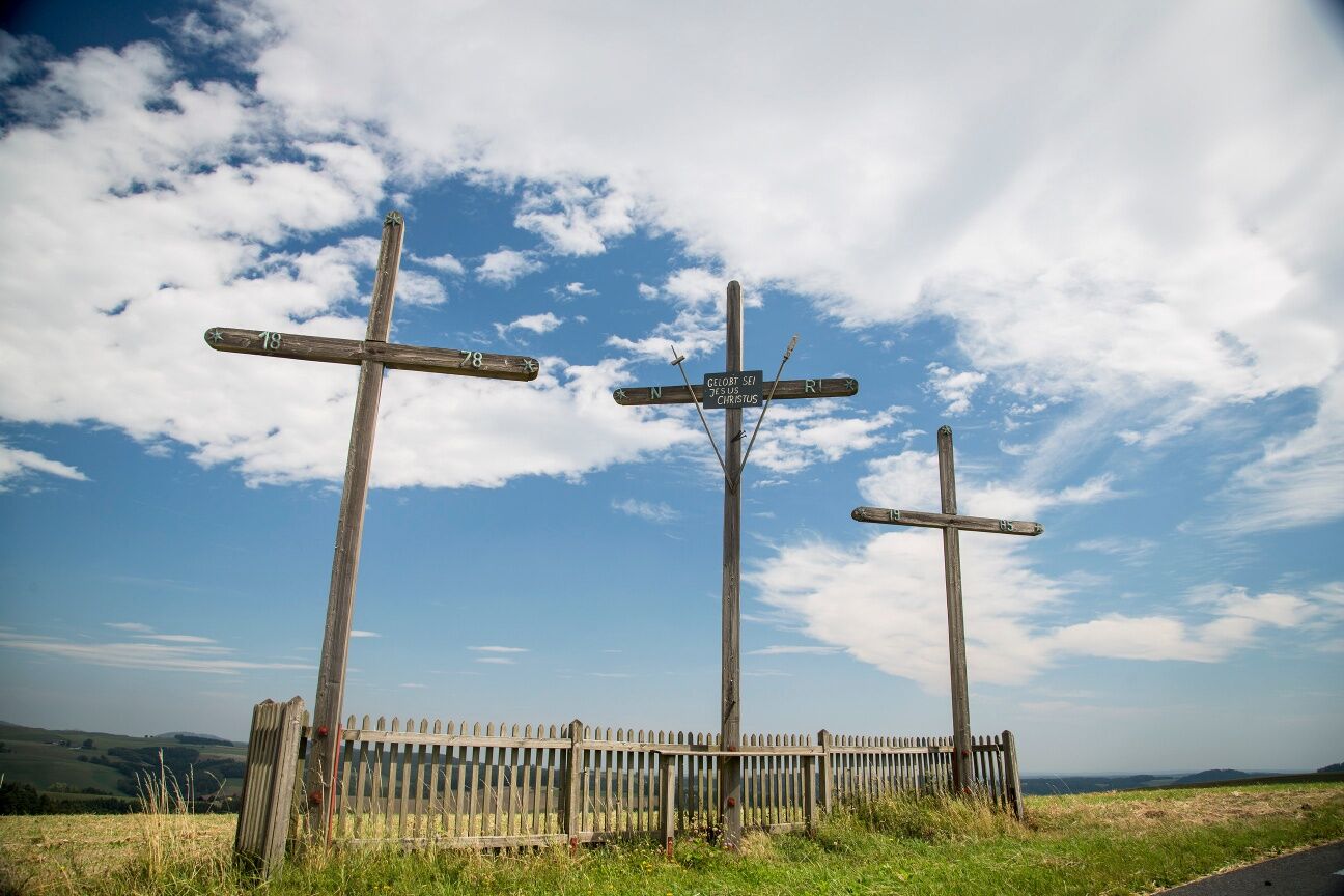
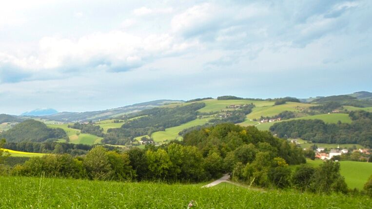

<p>The Regional Route D starts at the tourist office in the center of the spa town Bad Schönau and leads along the street to the spa house for the first meter. The path of the Wiener Alpenbogen runs past the spa house on the left through the park; we follow the Regional Route past the spa house on the right and shortly afterwards turn right again into Waldgasse. We follow the pedestrian and bicycle path into the Zöbernbach valley, cross the Zöbernbach, and cross the federal highway at Ödenhof. We walk uphill on the asphalt road to the Triad guesthouse, where Veronika and Uwe Machreich score points with their creative but also down-to-earth cuisine for their guests.</p><p>After a refreshment, we keep right at the next fork and follow the signpost with the green Wiener Alpen logo, past the parking lot of the golf range and further into the dead end. Alternatively, at the fork, the path of the pond round is also walkable straight ahead, which later meets the Regional Route again in the forest. At a sharp right turn, we walk straight on the orange-marked meadow path. The path takes us into the forest; at a left turn, we follow the signpost to the right towards Krumbach on a forest path. Now we steadily climb the trenches-cut forest slope uphill, following the orange path, cross a trench, and after a few minutes turn right onto a meadow path at the forest edge. The meadow path leads uphill with views of Krumbach Castle to the Dirndlhof farmstead. We take the adjoining Dirndlbauer farm road to the farm in Egg, where we turn left onto a street and follow the blue marking slightly downhill with views of Krumbach to the Rosenkranz Chapel. After a short rest at the chapel, the last meters of Regional Route D lead us downhill on the farm road, which opens onto a wider road at a hairpin bend. We keep left and continue walking downhill towards Krumbach; Tiefenbachstraße leads us to the town center. On the right-hand side, we see slightly above the municipal office, the bus stop, and thus the end of Regional Route D on Marktstraße. A visit to the museum village, which is located somewhat outside following the B55 south of the town center, is especially recommended. Alternatively, the hiking route can be extended with Regional Route C from the Rosenkranz Chapel to Kirchschlag. From Kirchschlag, the main path Wiener Alpenbogen leads back to Bad Schönau. From Krumbach, buses run either to Edlitz-Grimmenstein station or back to Bad Schönau.</p>
<p>Always take suitable <strong>maps</strong> with you. Wear sturdy <strong>shoes</strong> appropriate for the route, bring sun and rain protection as well as water and a small snack. Take your <strong>mobile phone</strong> and save the mountain rescue emergency number: 140</p>
<p>Your hikes in the Wiener Alpen should be a thoroughly beautiful and safe experience. Please therefore note the following:</p><p><strong>Preparation</strong></p><p>Make sure when choosing your route that it matches your mountain experience and your <strong>fitness</strong>. Check the <strong>weather report</strong> in advance. Weather in the mountains may turn surprisingly quickly. So always set out properly equipped (e.g., rain protection).</p><p>Check whether the <strong>huts and snack stations</strong> you want to visit along the way are open. <strong>Inform</strong> someone about your route choice and planned return before you start.</p>
<p>Coming from Vienna, take the A2 to the Krumbach exit and follow the B55 to Krumbach and Bad Schönau. Coming from Graz, take the Aspang exit, continue on L137 to Zöbern, turn left toward Kampichl on L137, and switch to the B55 to Bad Schönau at Unterhaus.</p>
<p>Travel by train via Wiener Neustadt to Edlitz-Grimmenstein station and then by bus to Bad Schönau. From Krumbach, buses run back to Bad Schönau and also to Edlitz-Grimmenstein station.</p><p>Further information is available at <a href="www.oebb.at">www.oebb.at</... and <a href="www.blaguss.at">www.blaguss.a...
<p>Parking is available at the tourist office in Bad Schönau.</p>
Also explore the adjoining routes:
WAB - Regional Route C: Krumbach - Kirchschlag
WAB - Regional Route E: Gschaidt - Feichten - Krumbach
Wiener Alpen in Lower Austria, www.wieneralpen.at, +43 / 2622 / 78960
Tourism Information Bad Schönau, www.badschoenau.at, +43 / 2646 / 8284
Accommodation options can be found in Bad Schönau at Hotel Weber and in Krumbach at the Krumbacherhof of the Ottner family. Beware: a visit to the Triad inn with star chef Uwe Machreich can lead to culinary delights.



Popularne wycieczki w okolicy
-
4,3
"Weg der Blicke"
światłoWędrówka 5,86 km -
4,5
Bad Schönau - Hutwisch
światłoWędrówka 9,99 km -
4,0
Bucklige Welt: Burg Grimmenstein und Kulmriegel
światłoWędrówka 10,5 km -
4,4
B53 Edelserpentin
średniJazda na rowerze 23,5 km -
4,4
BAD-SCHÖNAU Hutwisch und wieder zurück 20220611
średniWędrówka 10,8 km -
4,8
B41 Zöberntal-Rabnitztal cycle trail
średniJazda na rowerze 40,7 km -
3,8
Willersdorf - Willersdorfer Schlucht - Kreuzberg - Aschau im Burgenland
średniWędrówka 9,41 km -
4,6
Petersbaumgarten/Kienegg/Windhoh Runde
światłoWędrówka 9,86 km -
2,5
Landsee-Pauliberg Hike
średniWędrówka 25,8 km -
5,0
Bad Schönau - Hutwisch - E17
światłoWędrówka 10,8 km
Wędrówki i tropienie


Nie przegap ofert i inspiracji na następne wakacje
Twój adres e-mail została dodana do listy mailingowej.





