







Puchberg-Nature Park Hohe Wand-Grünbach
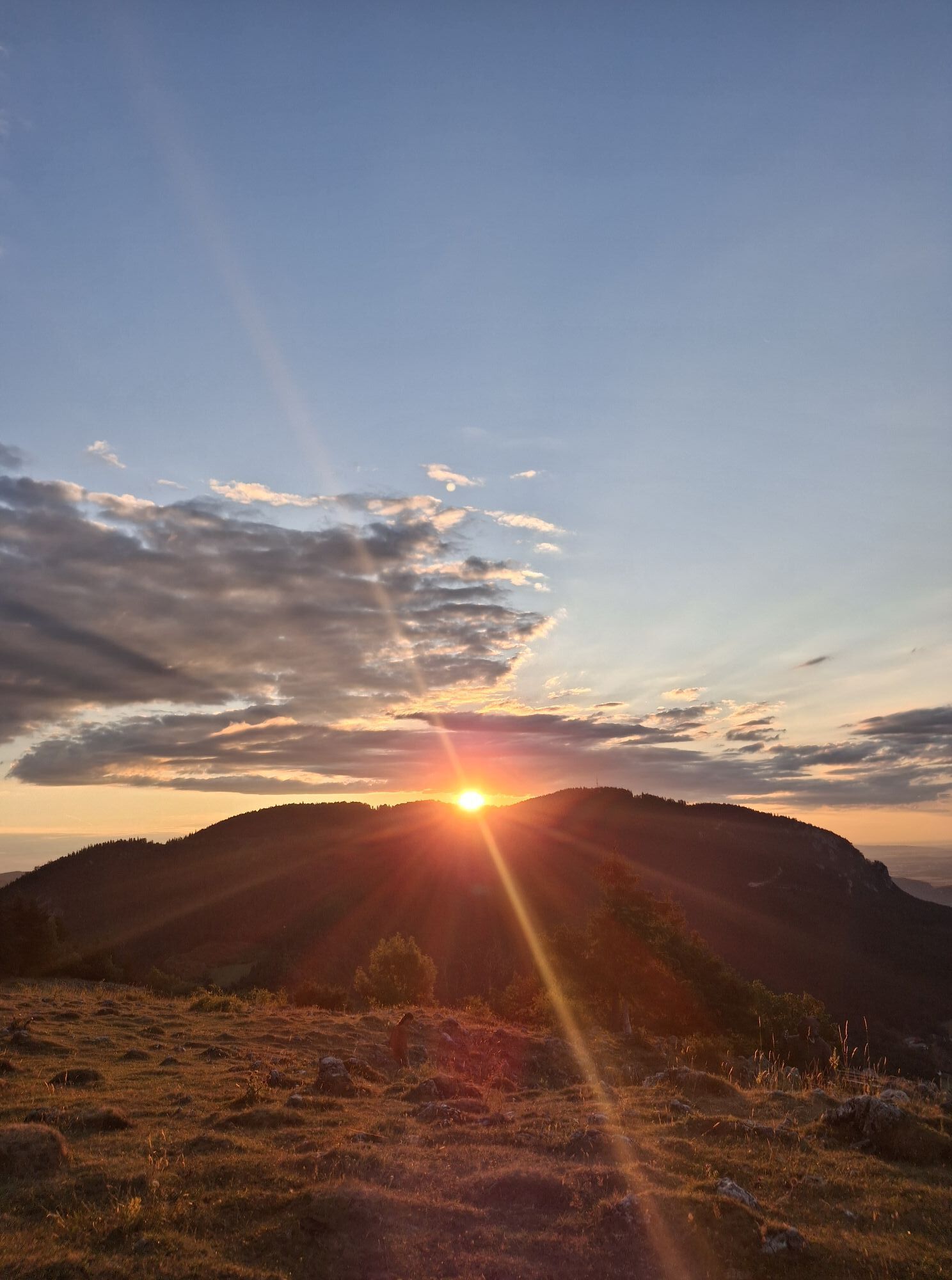
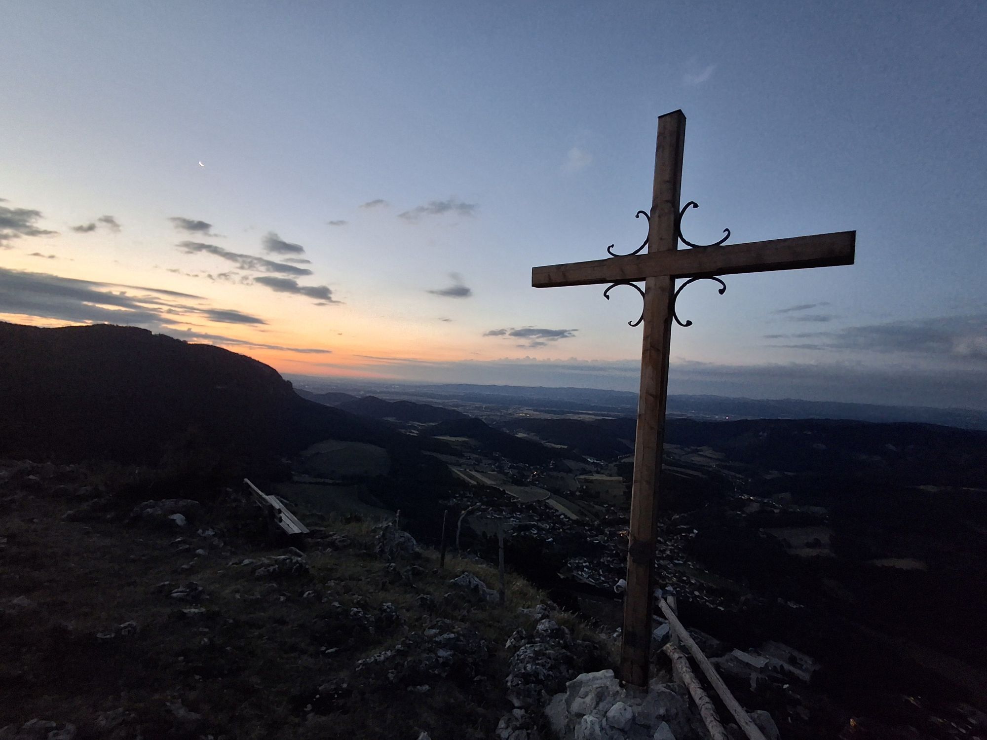
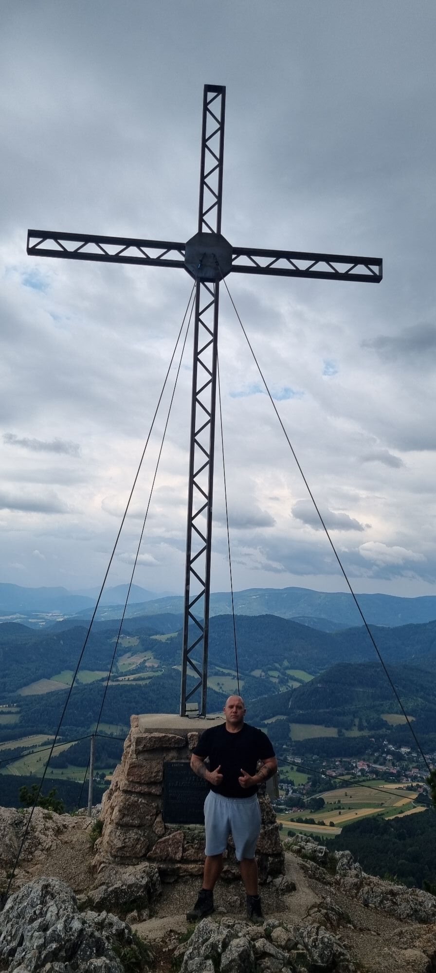
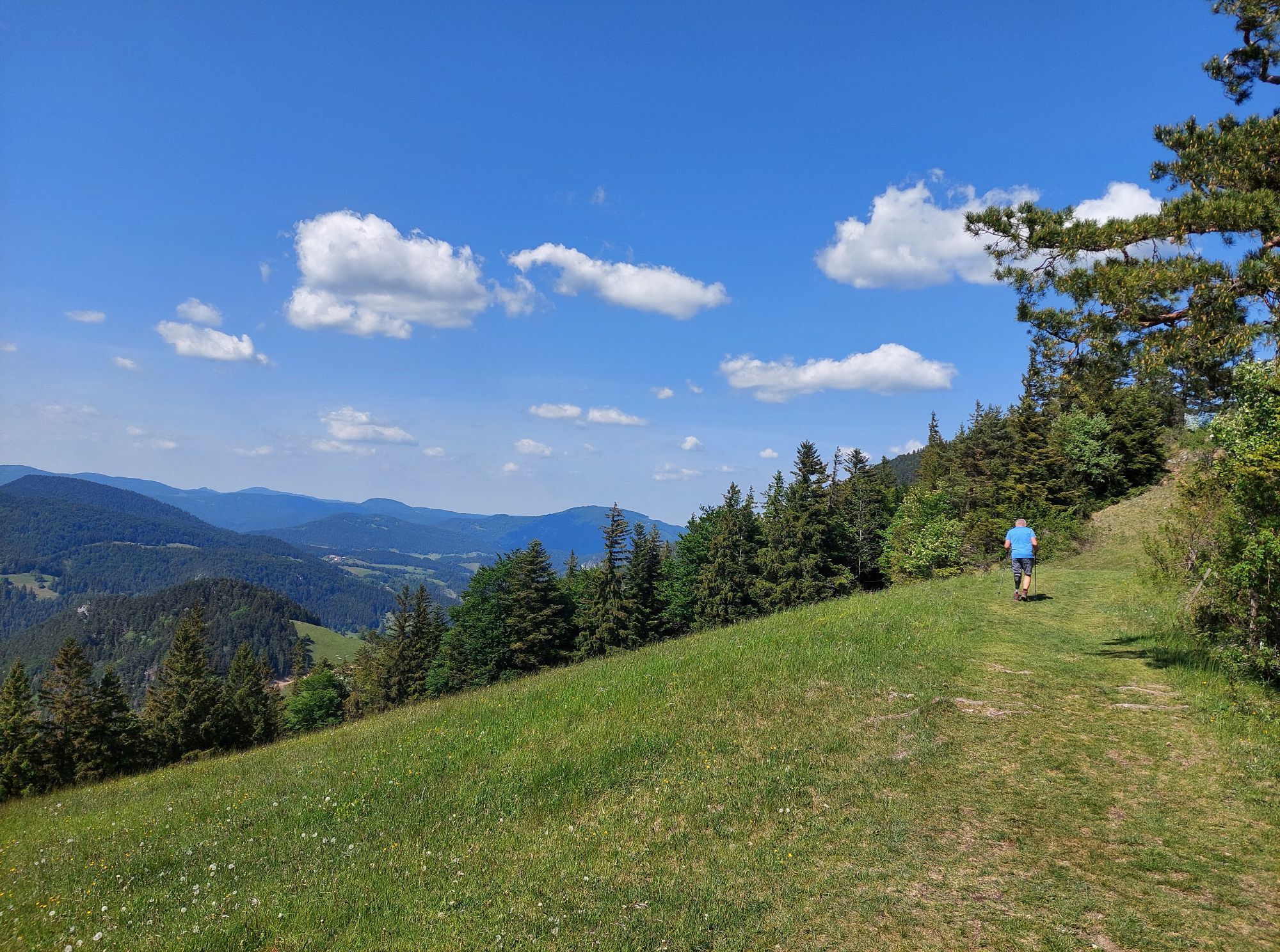
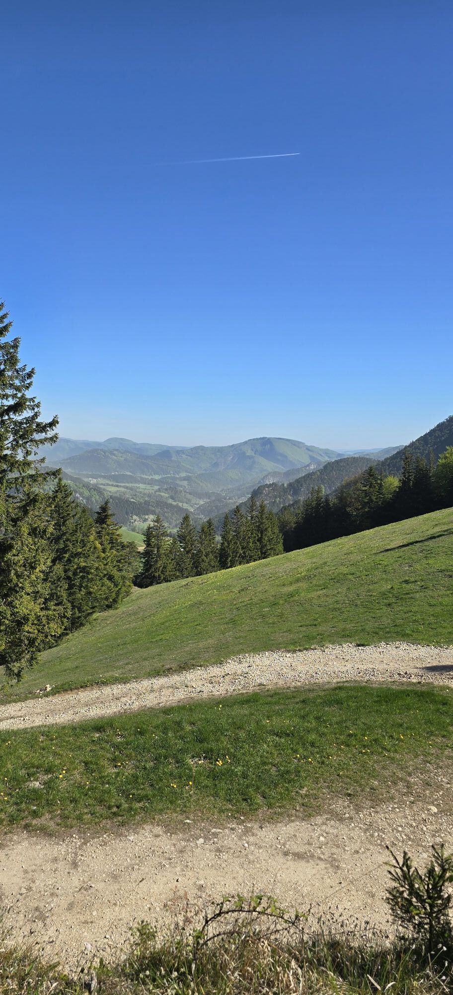
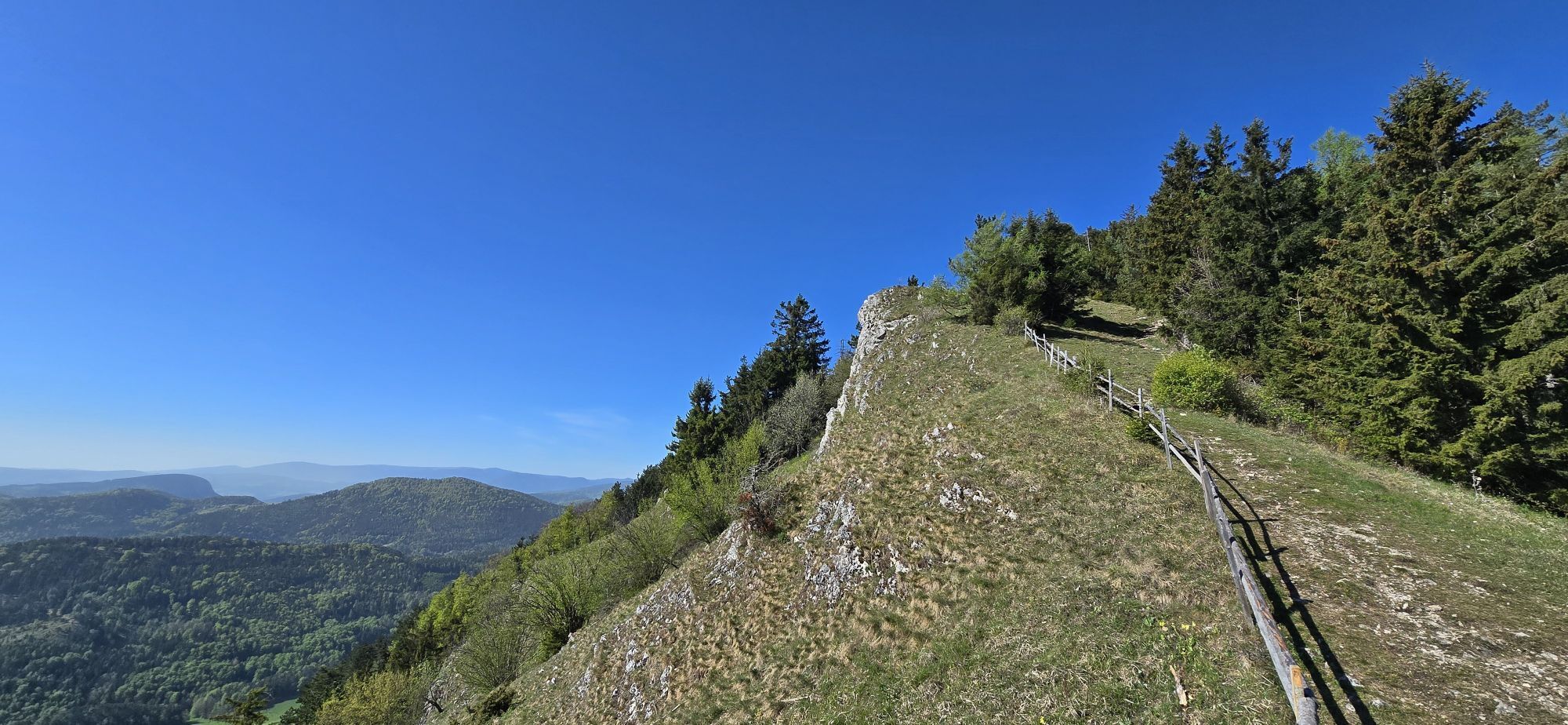
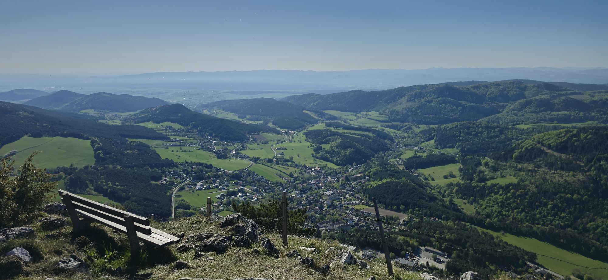
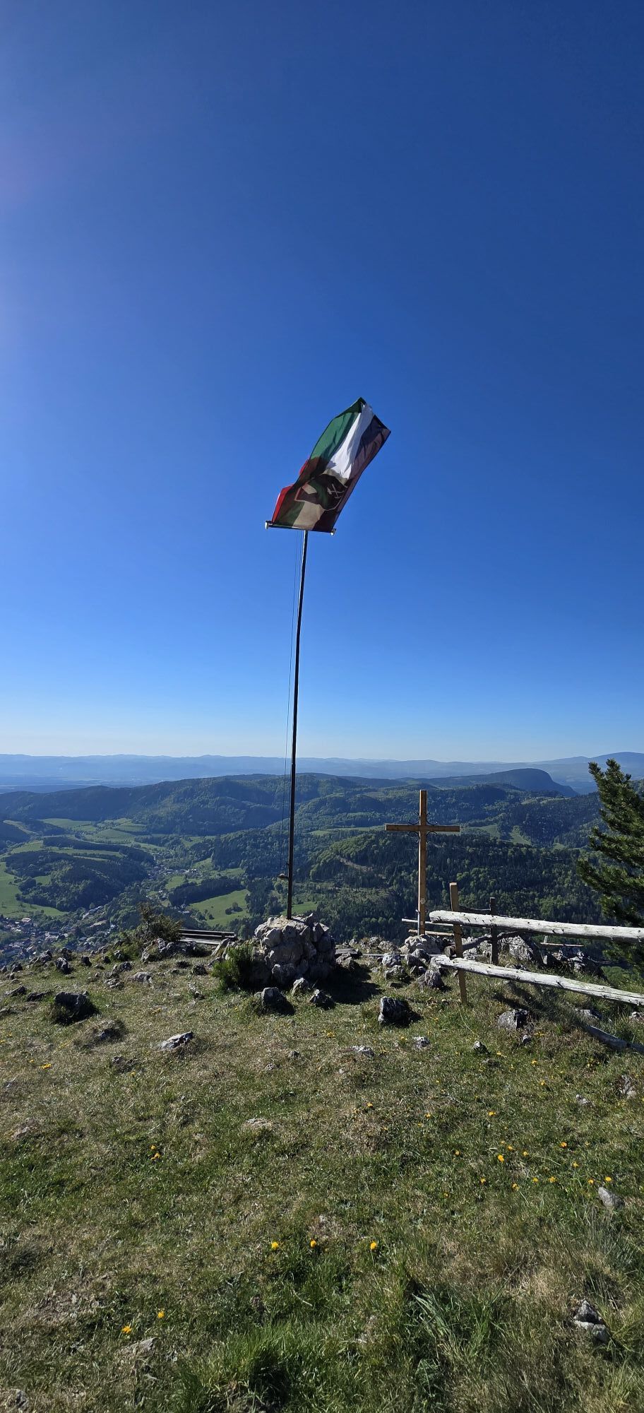
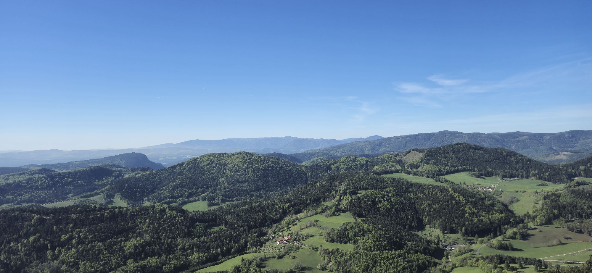
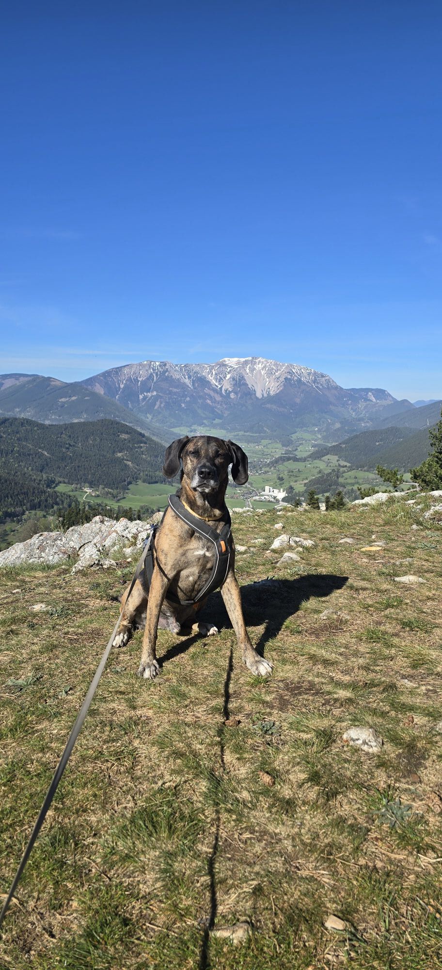
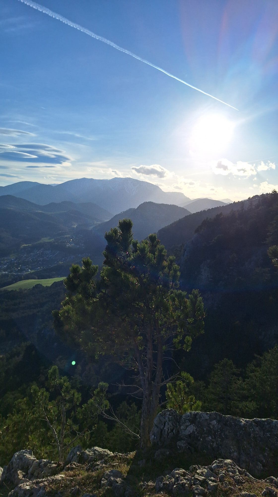
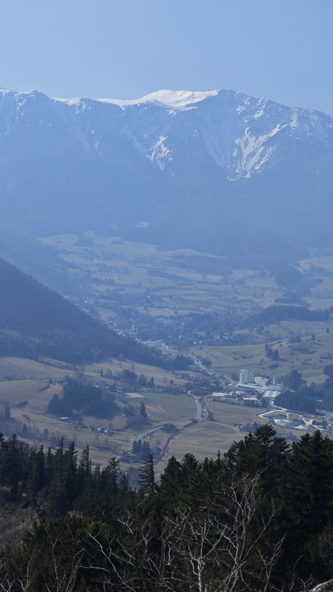
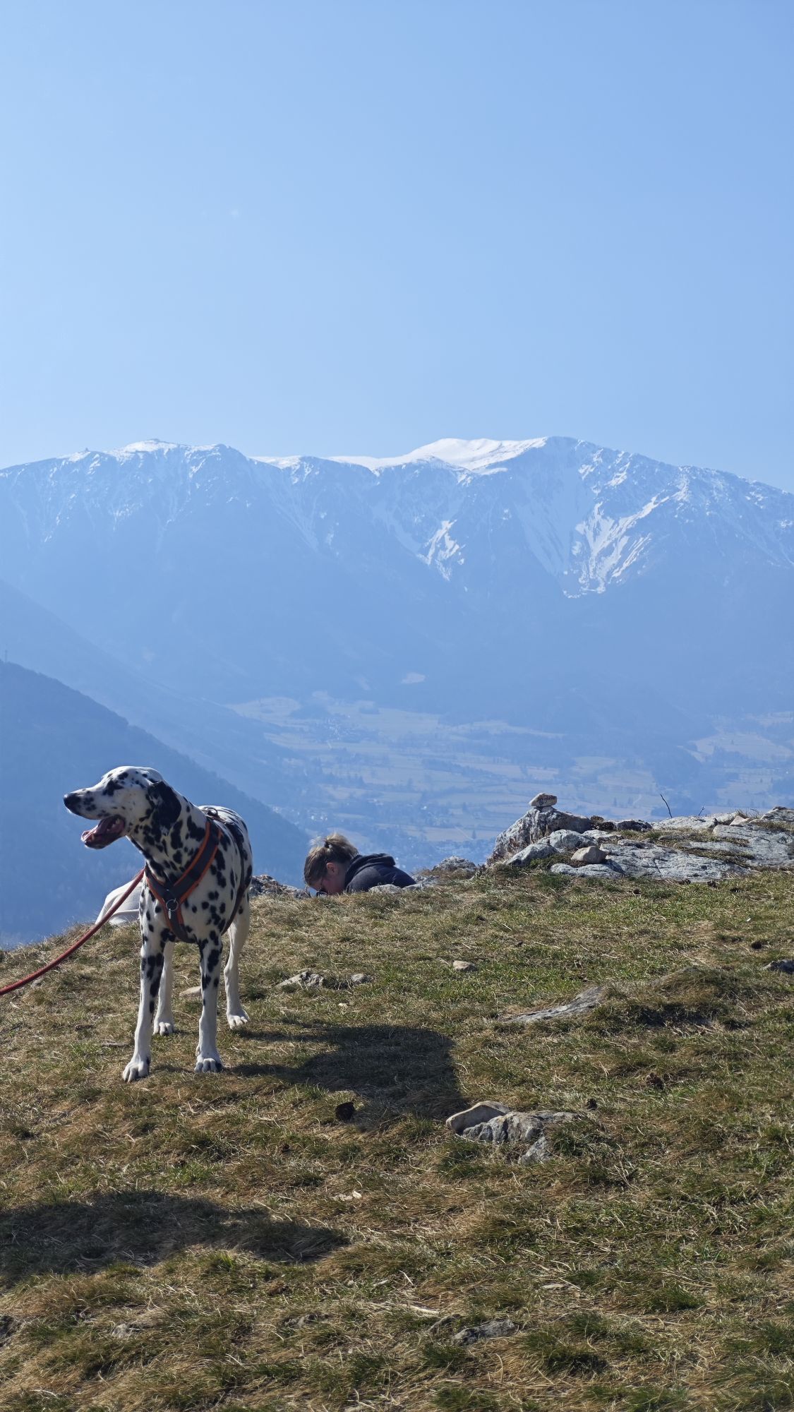
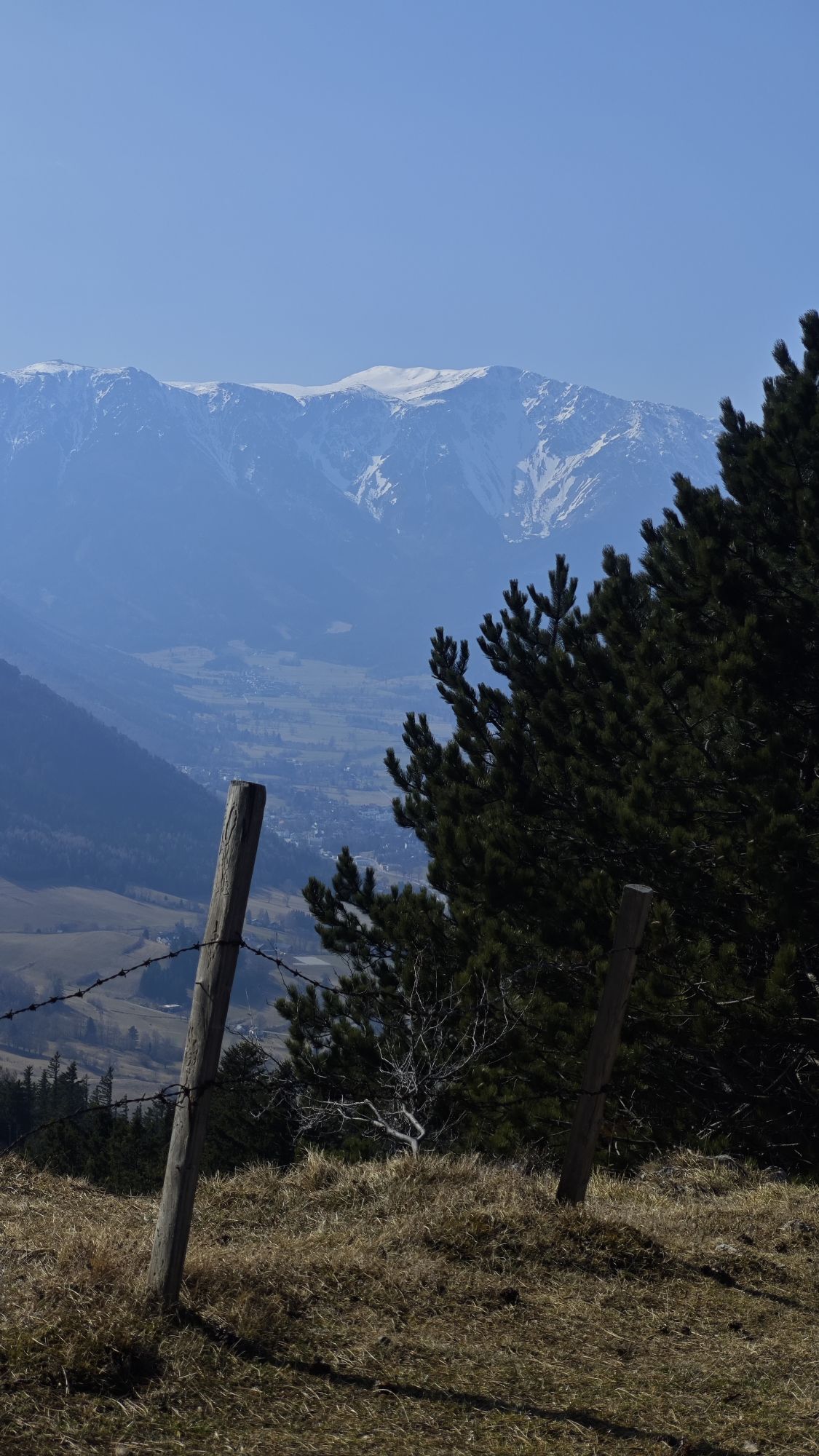
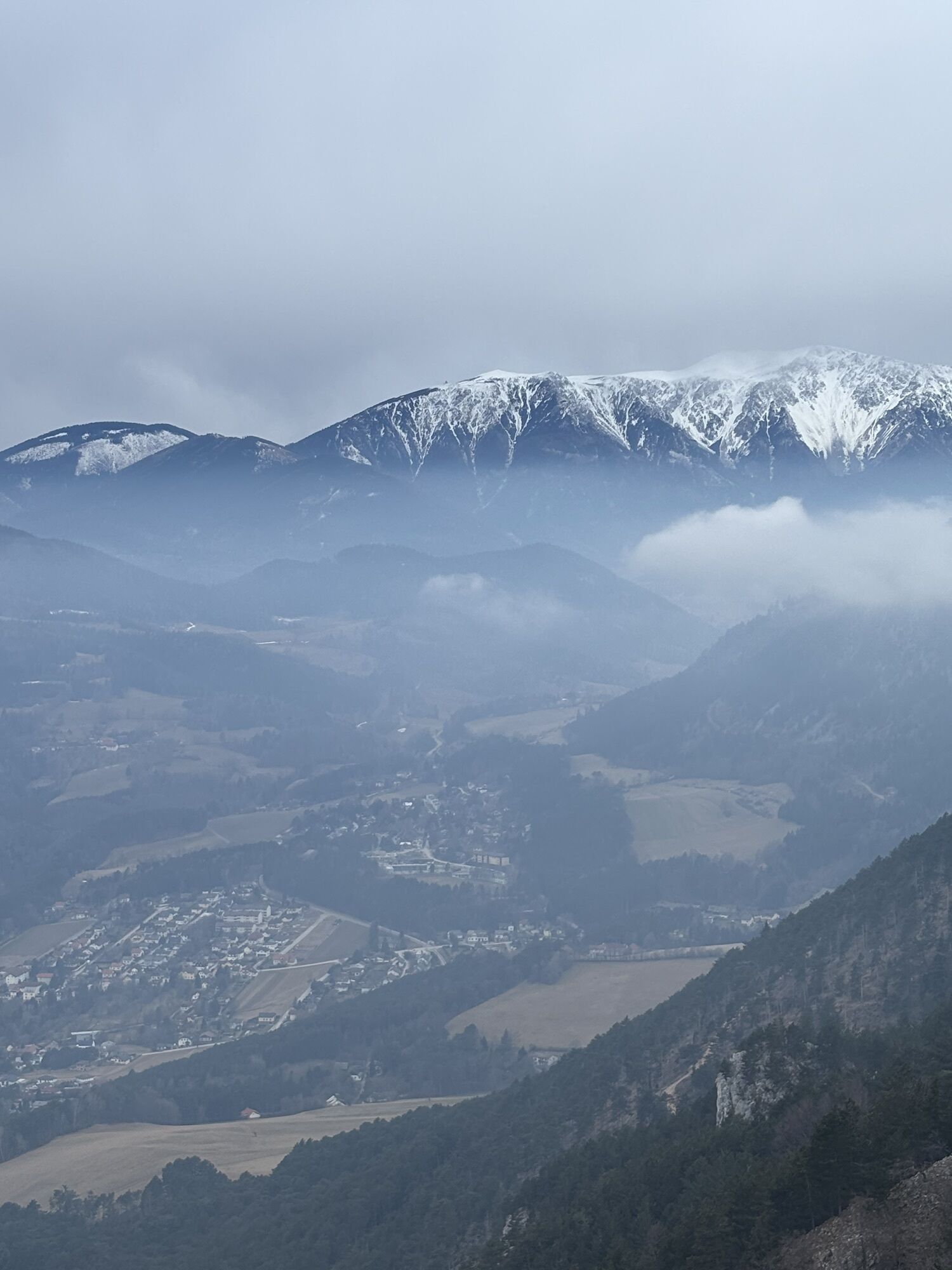
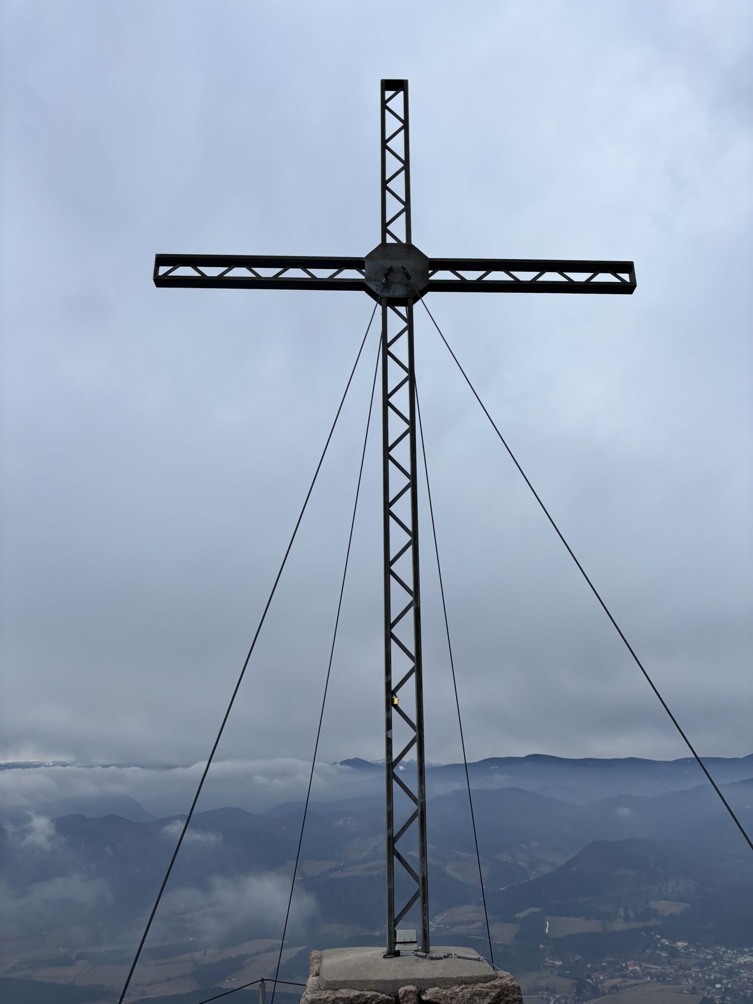
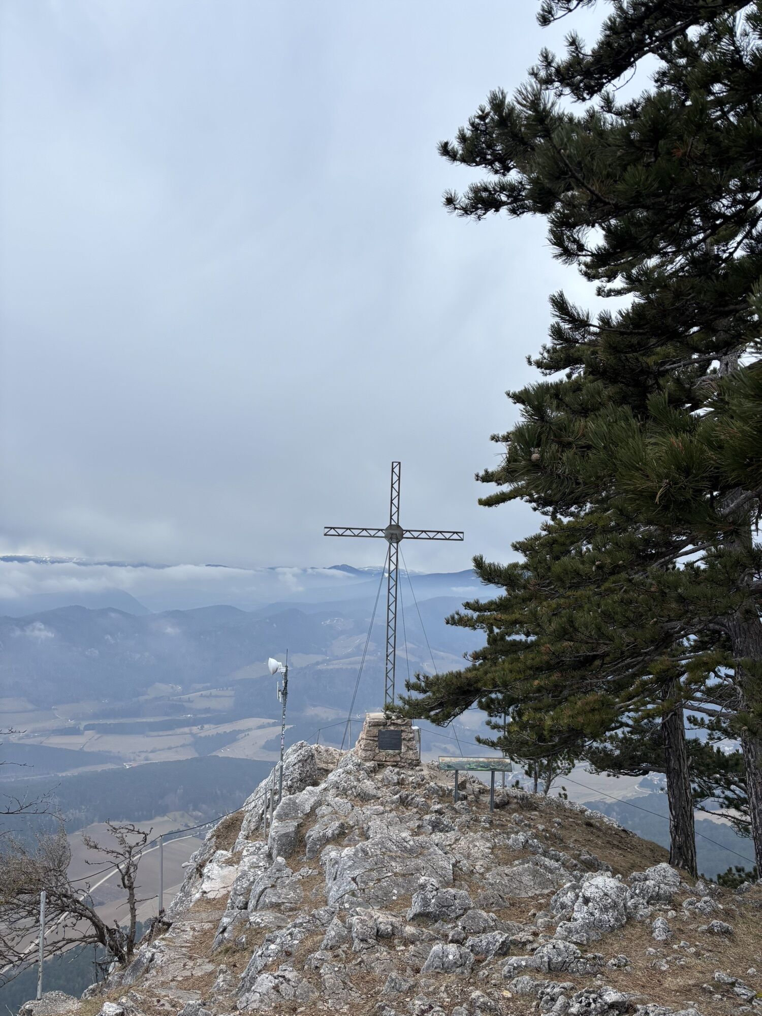
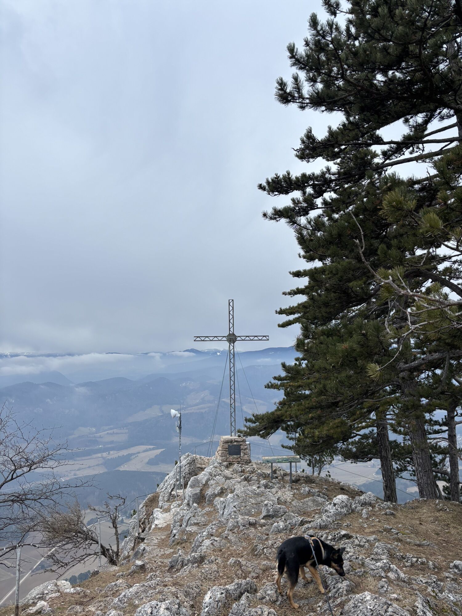
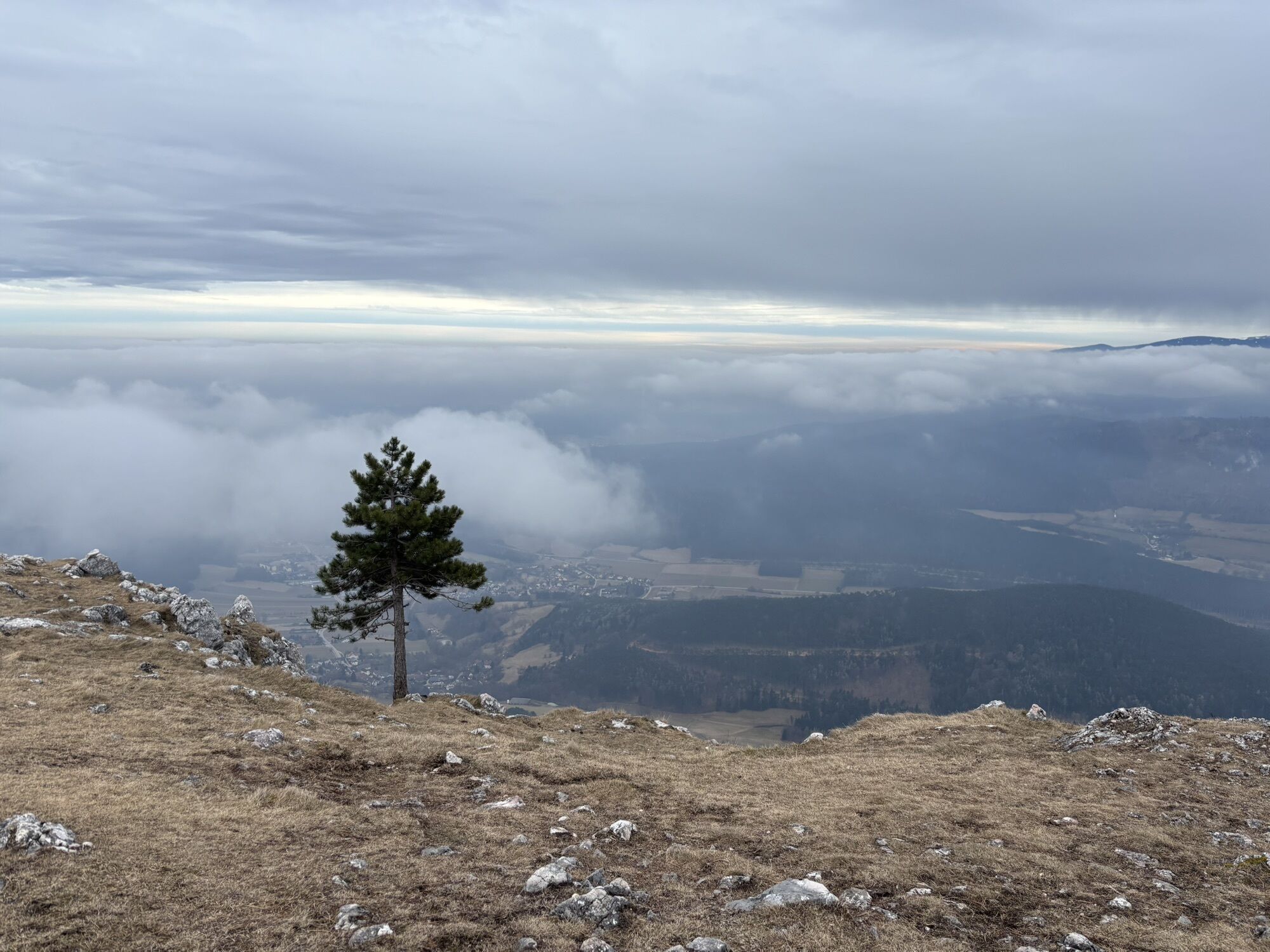
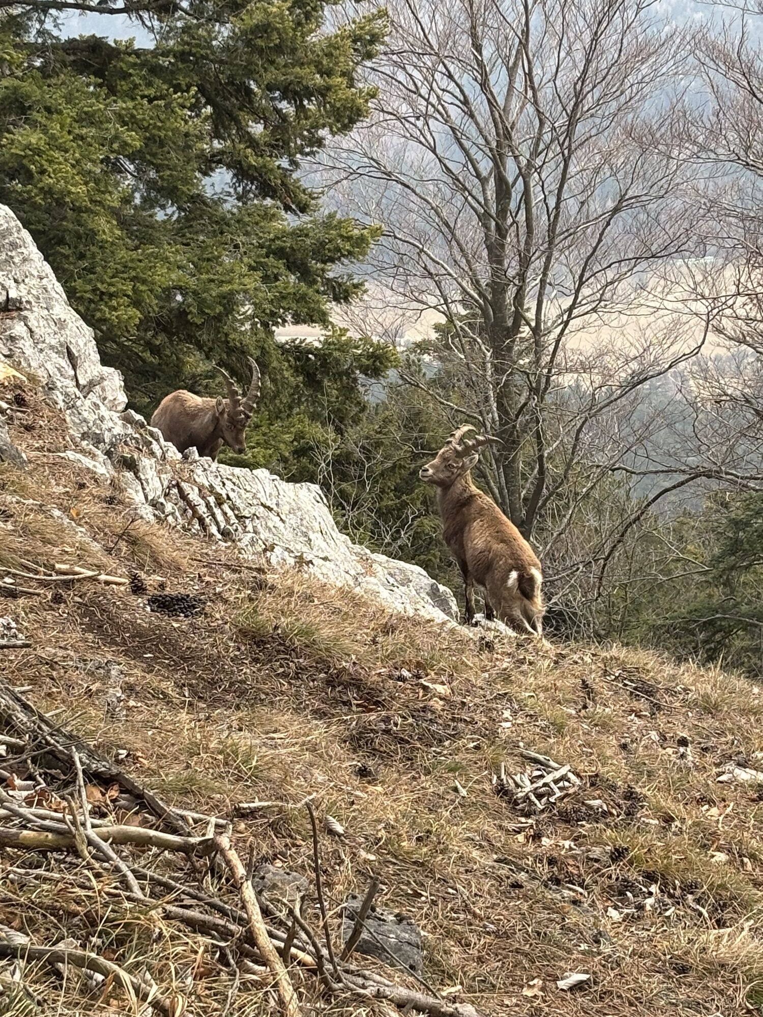
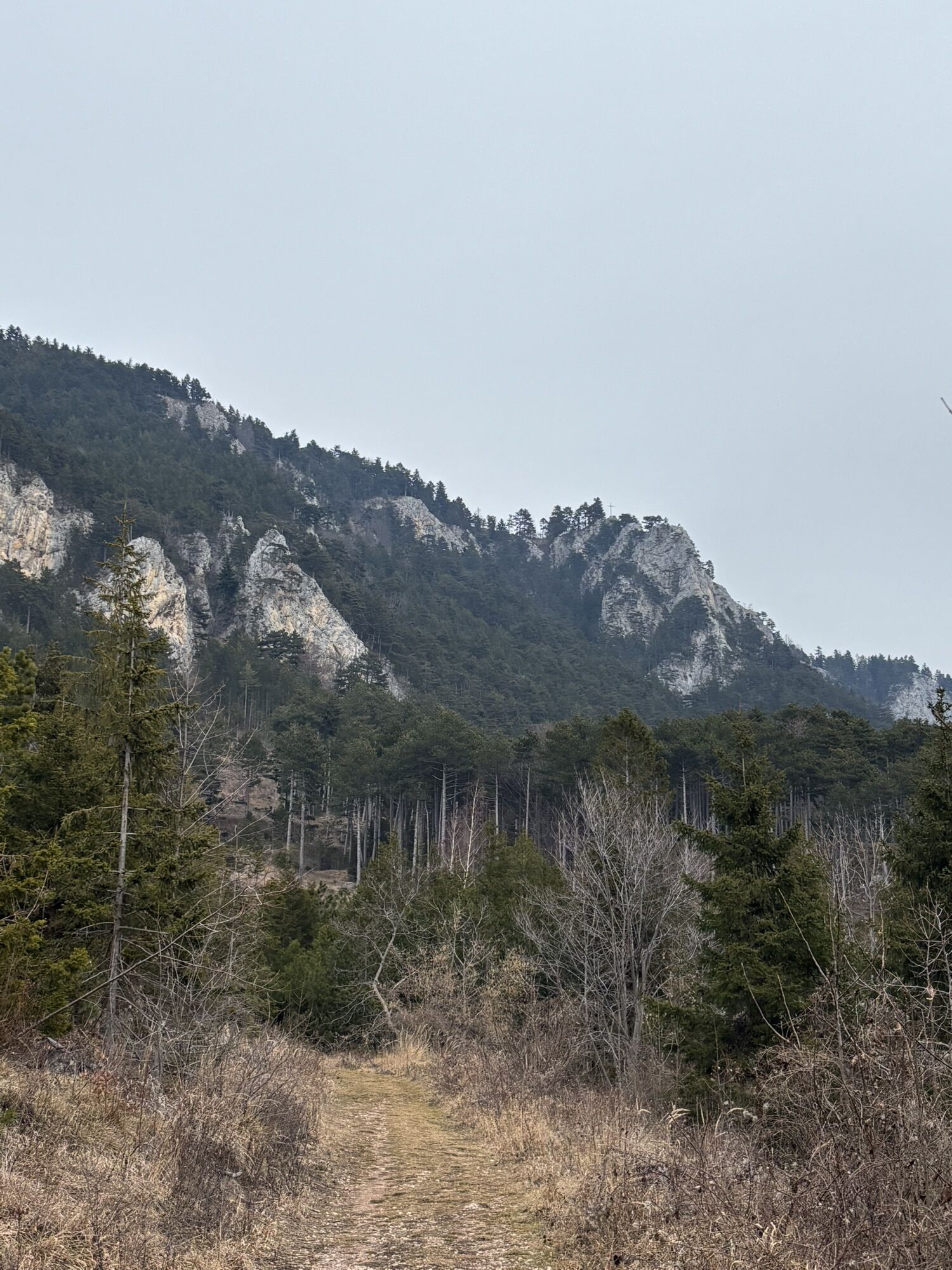
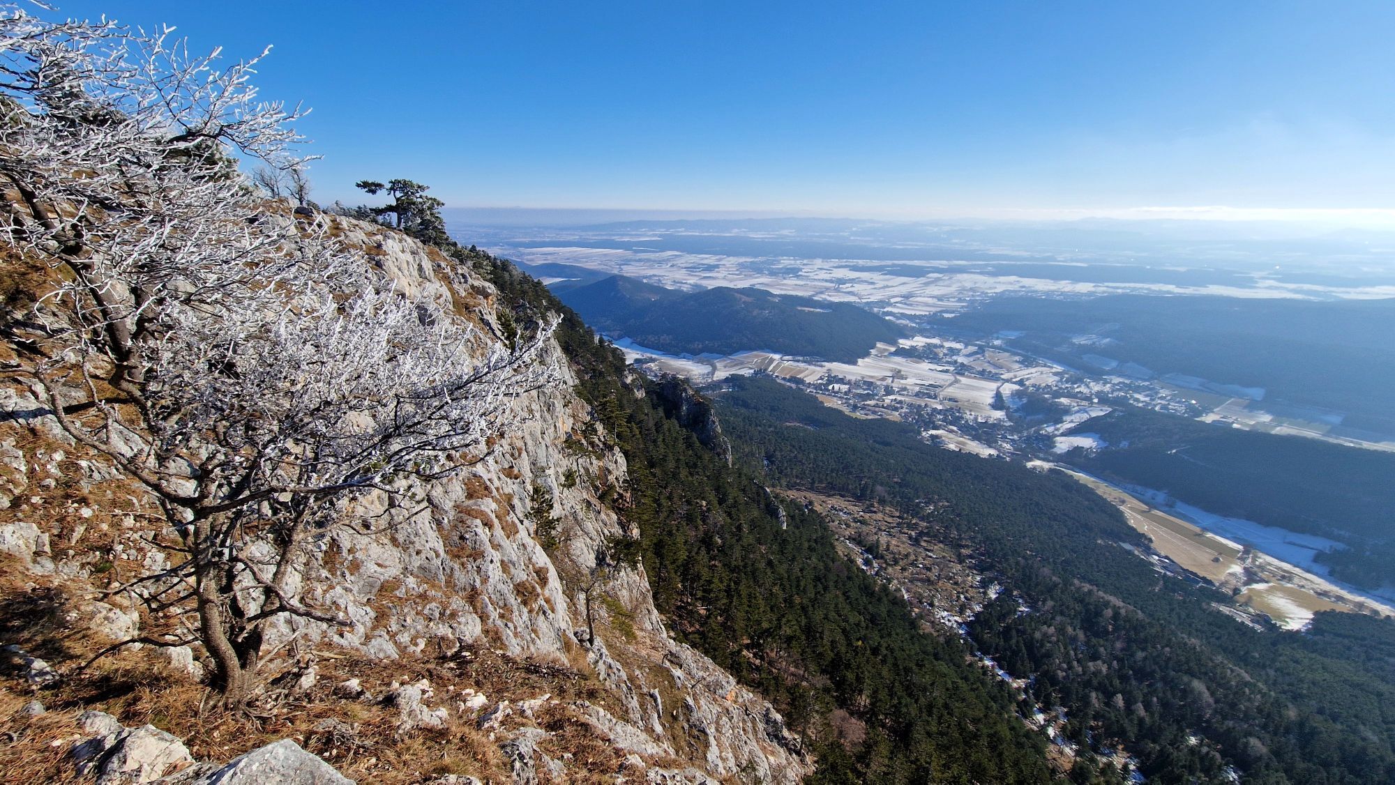
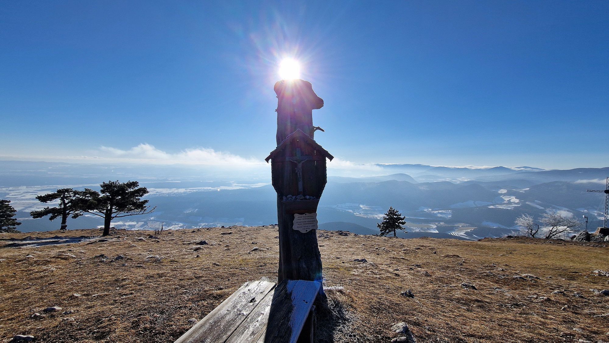
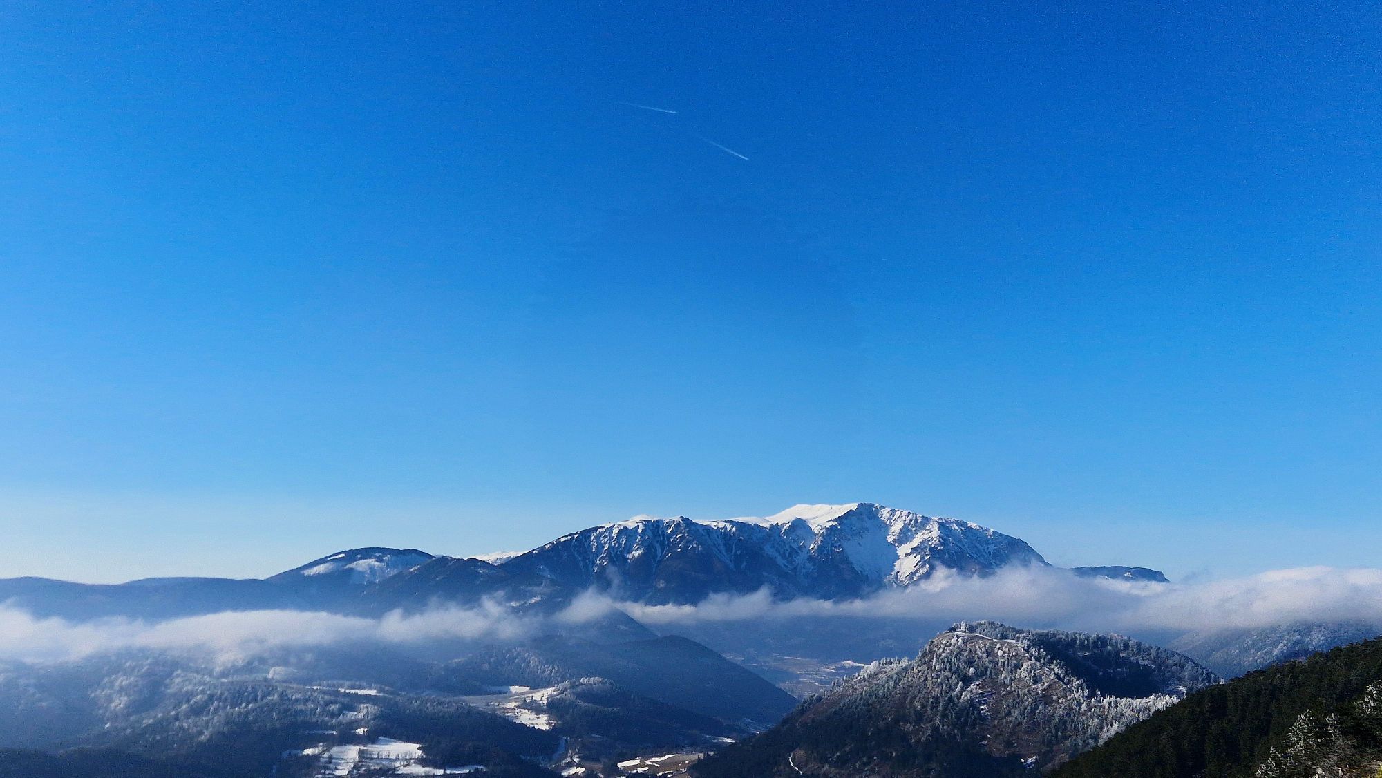
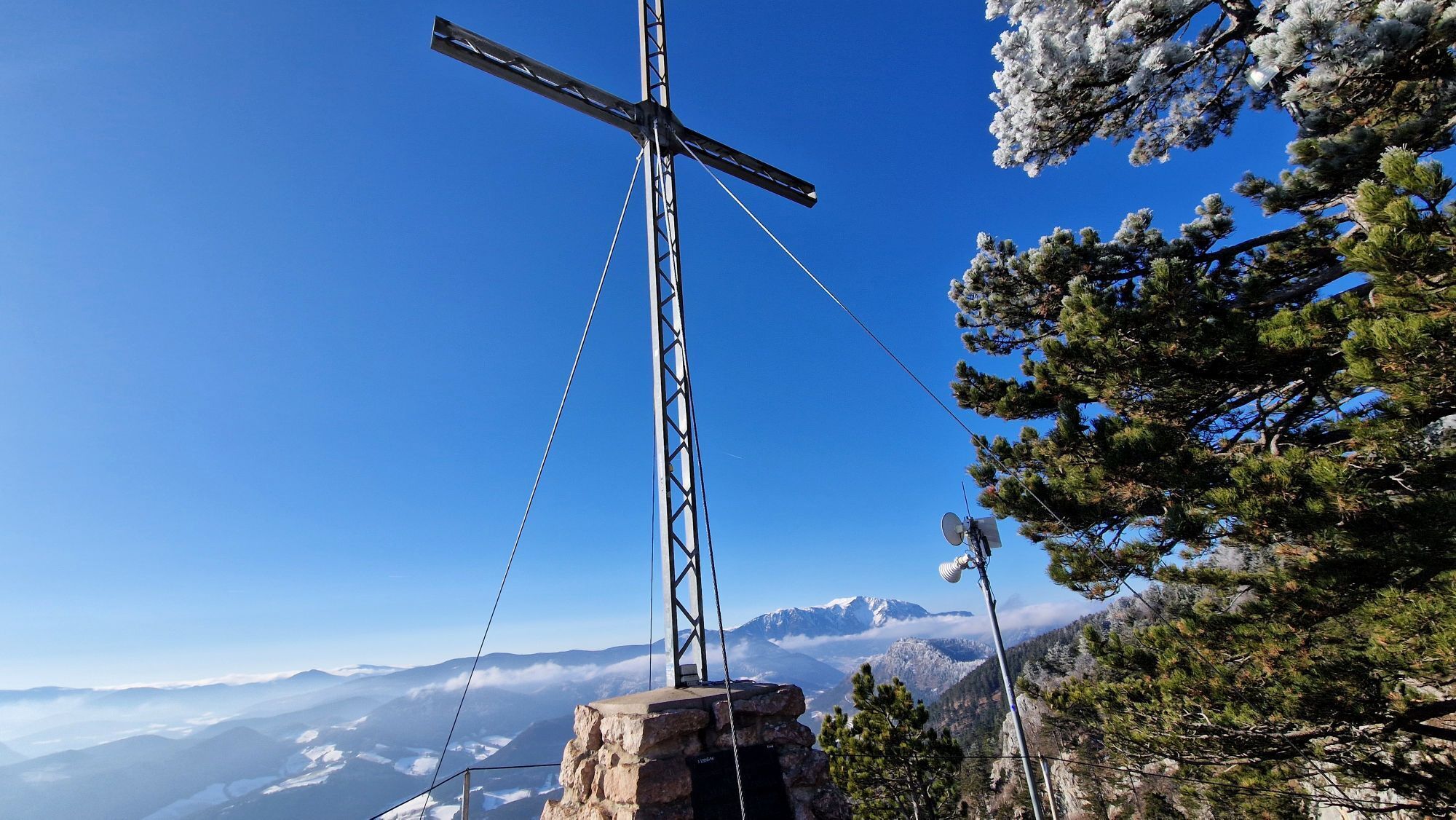
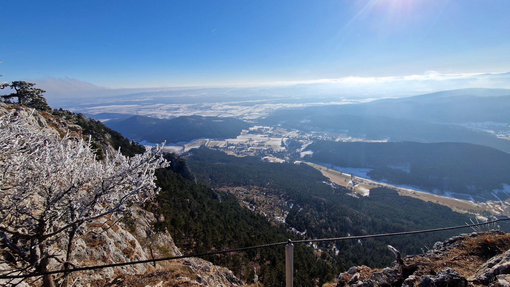
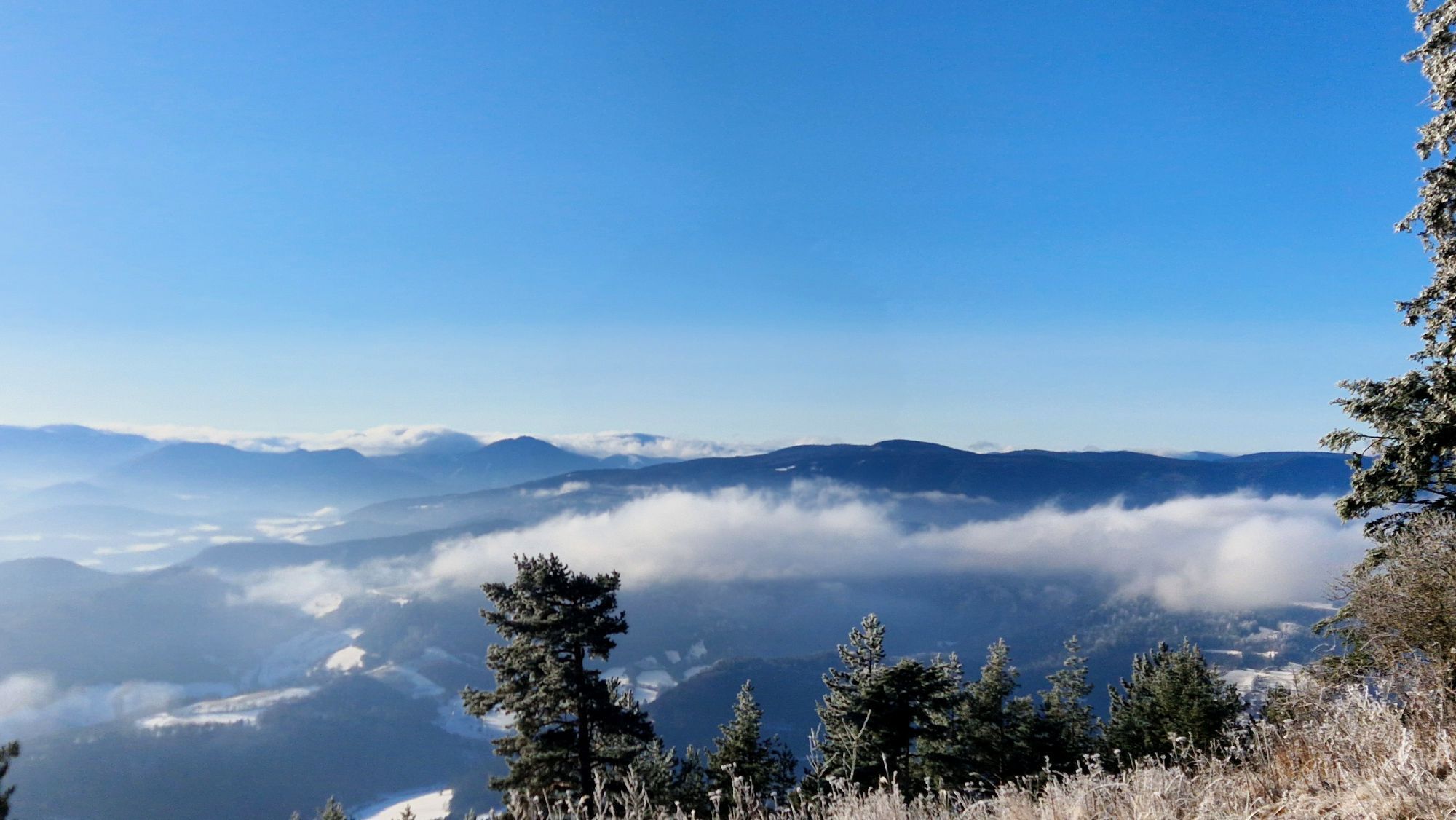
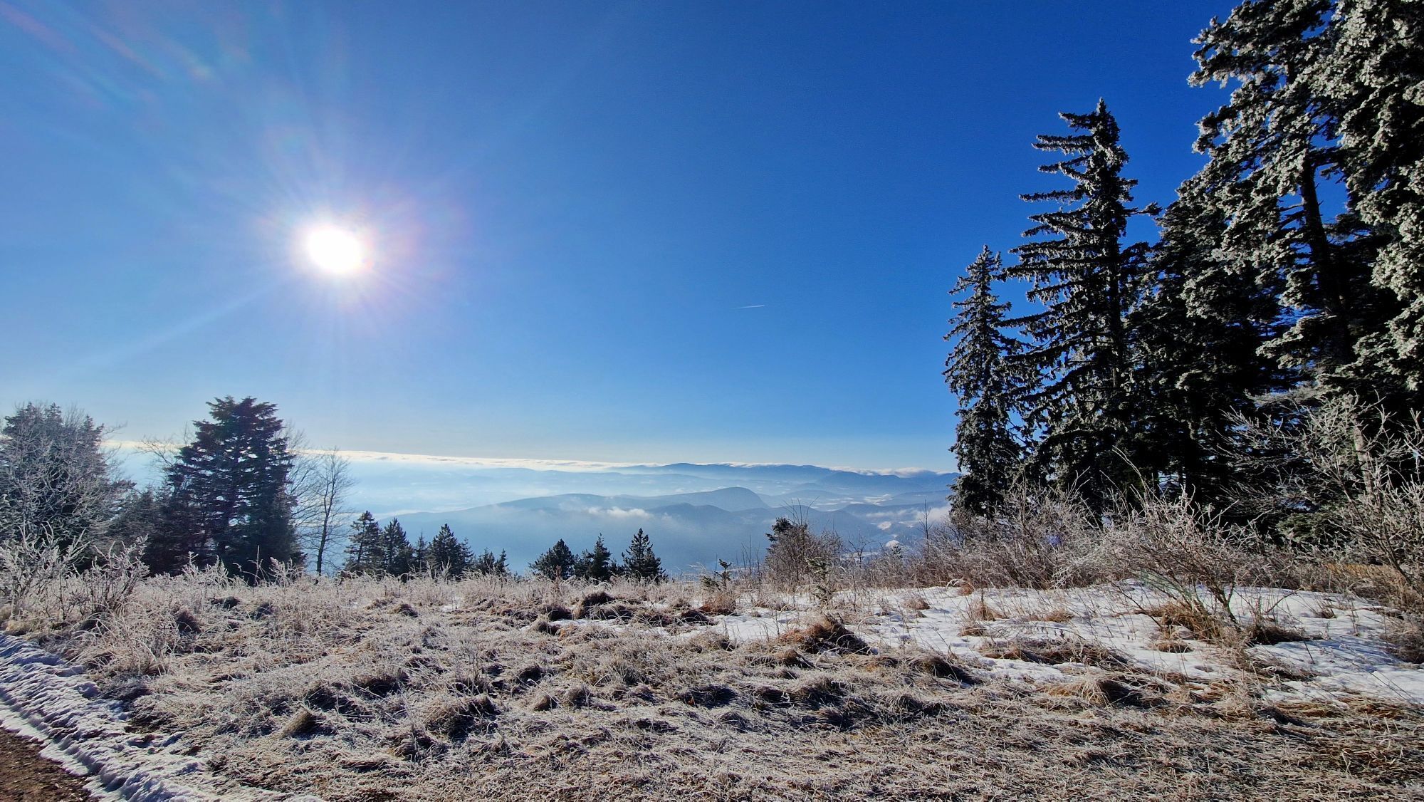
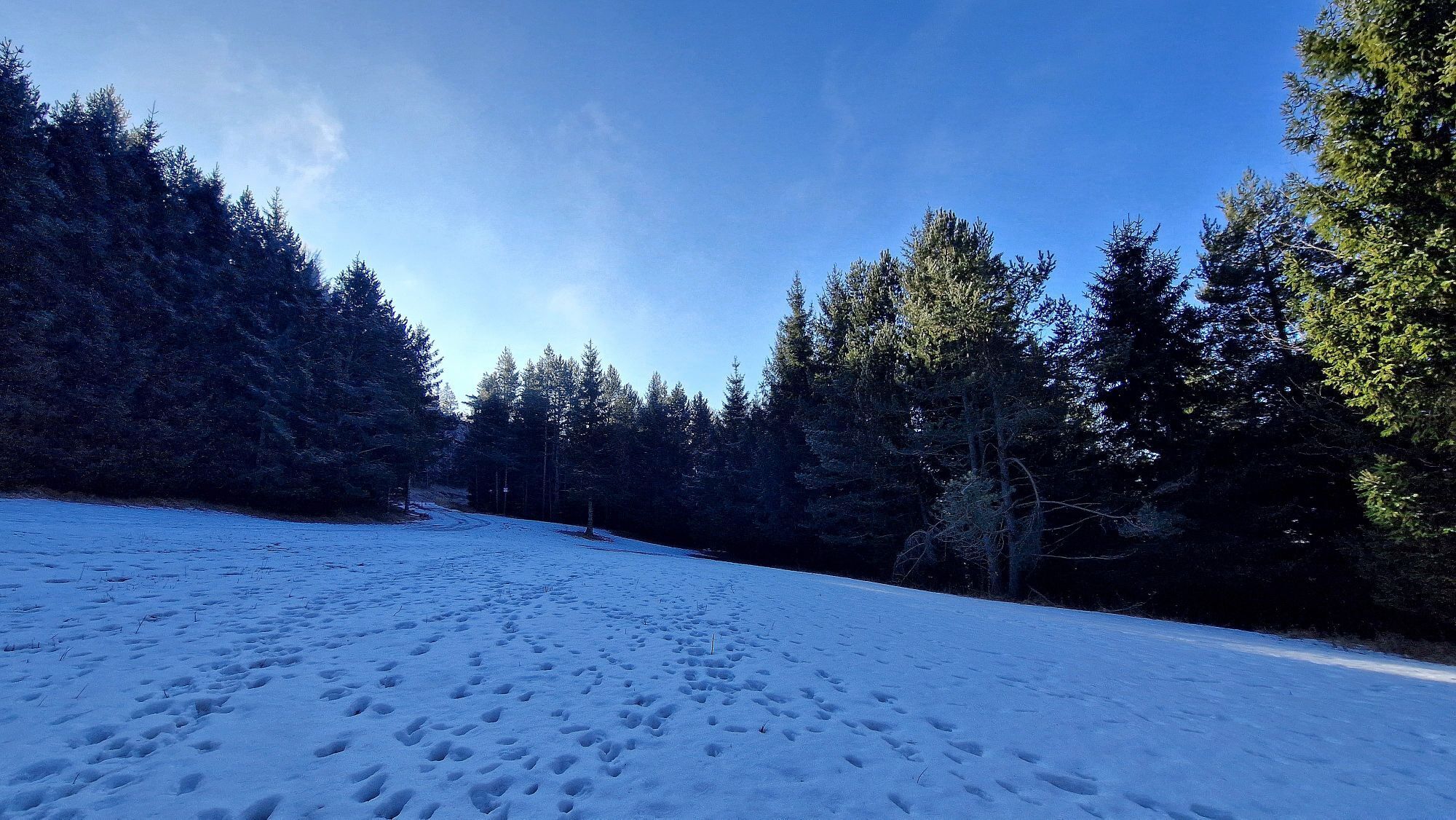
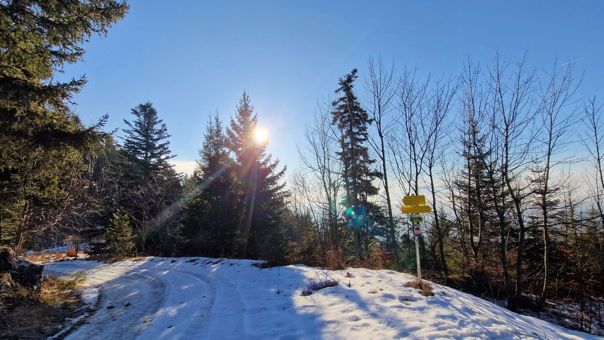
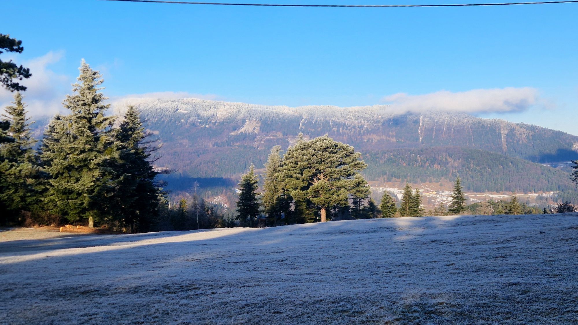
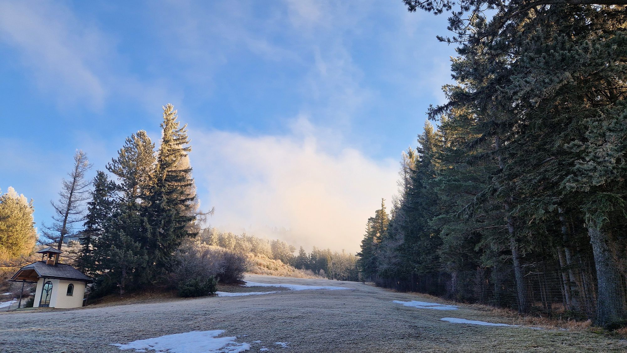
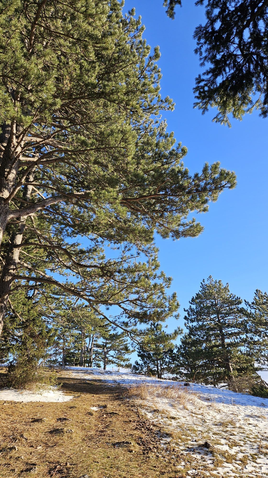
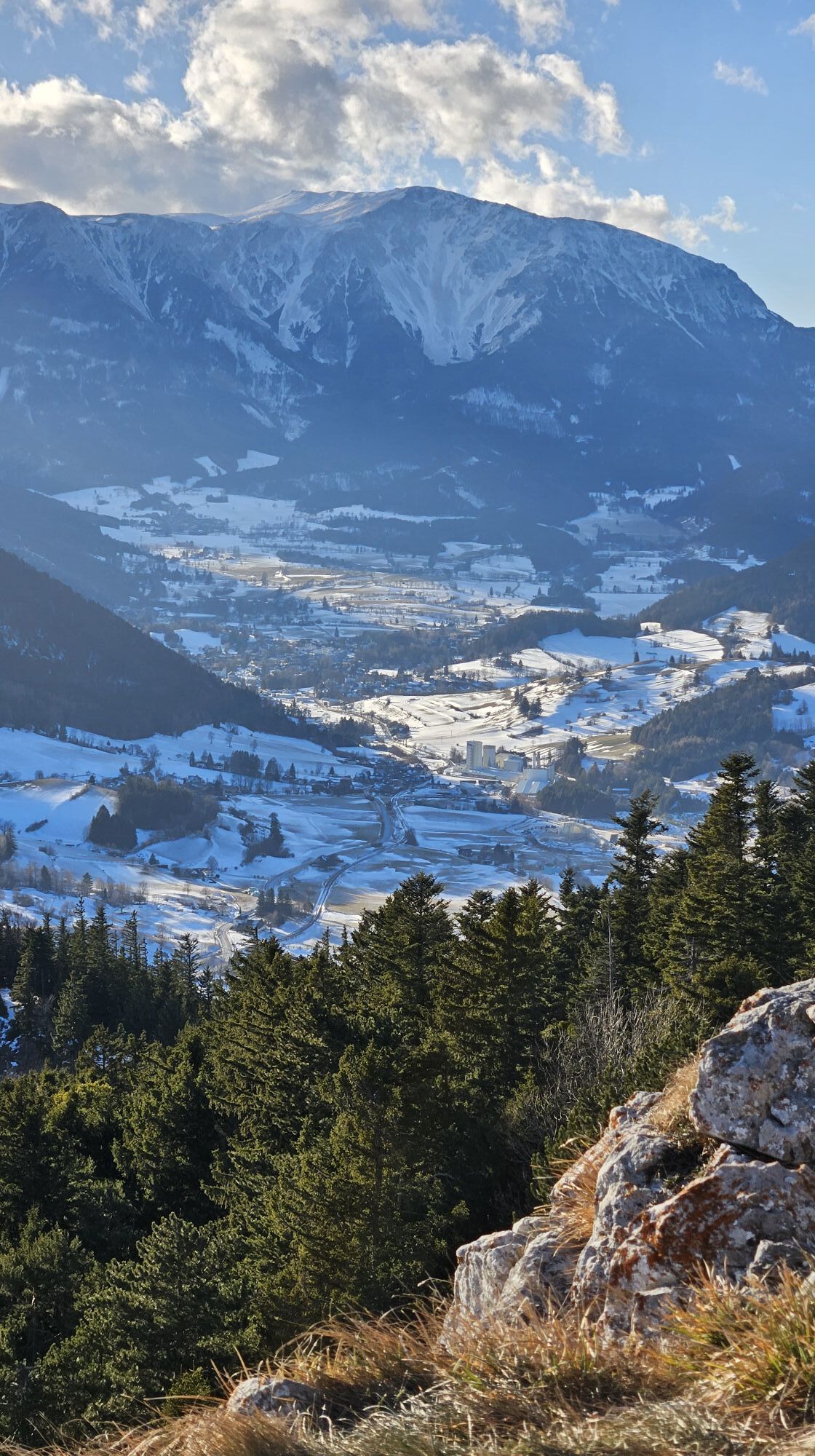
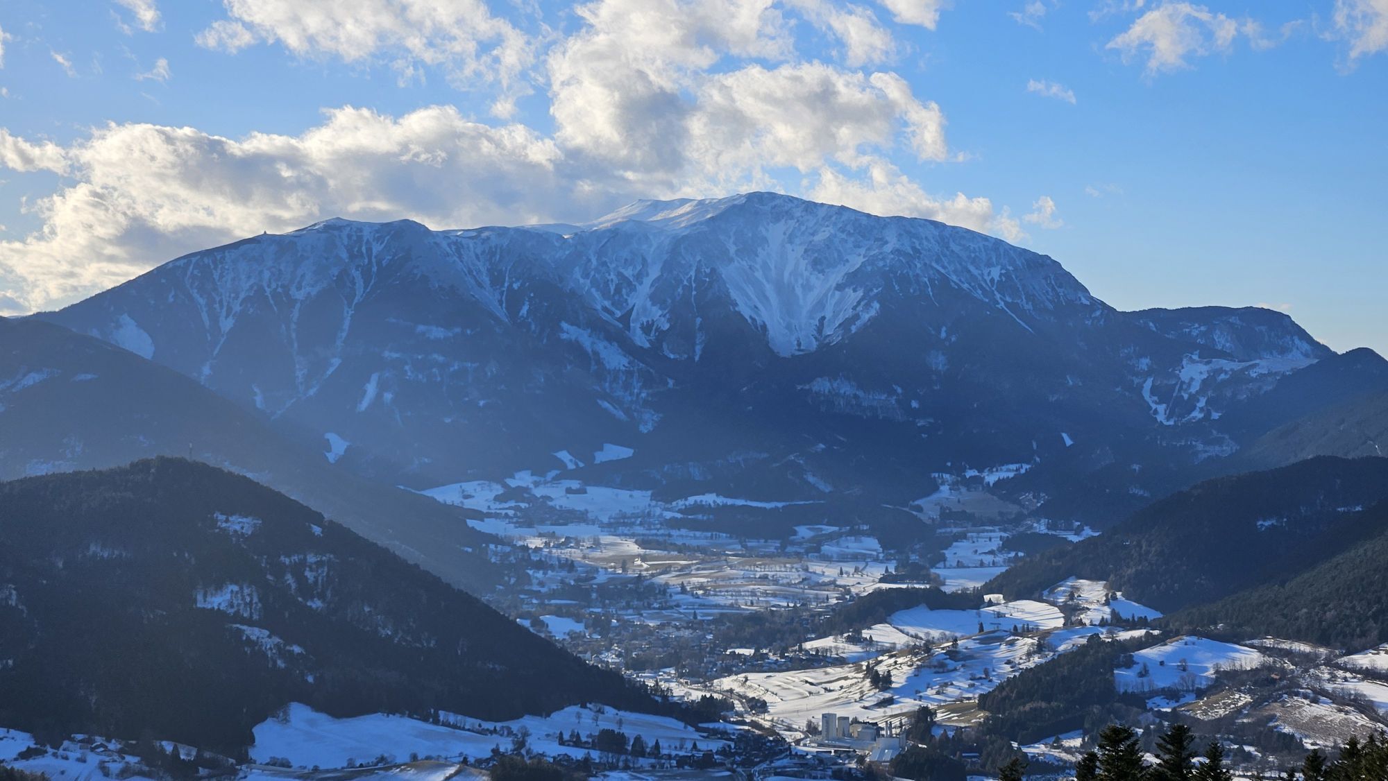
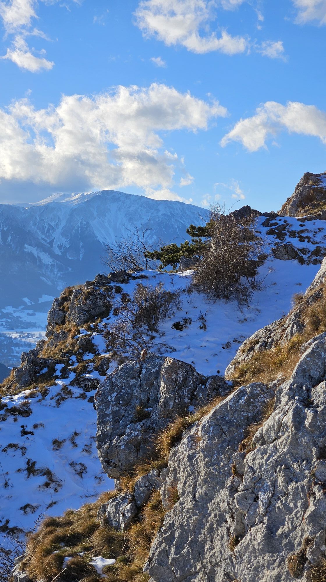
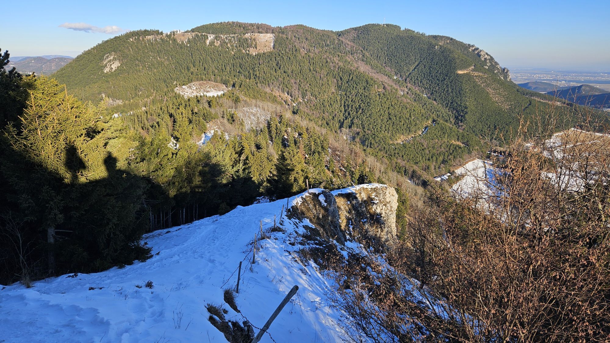
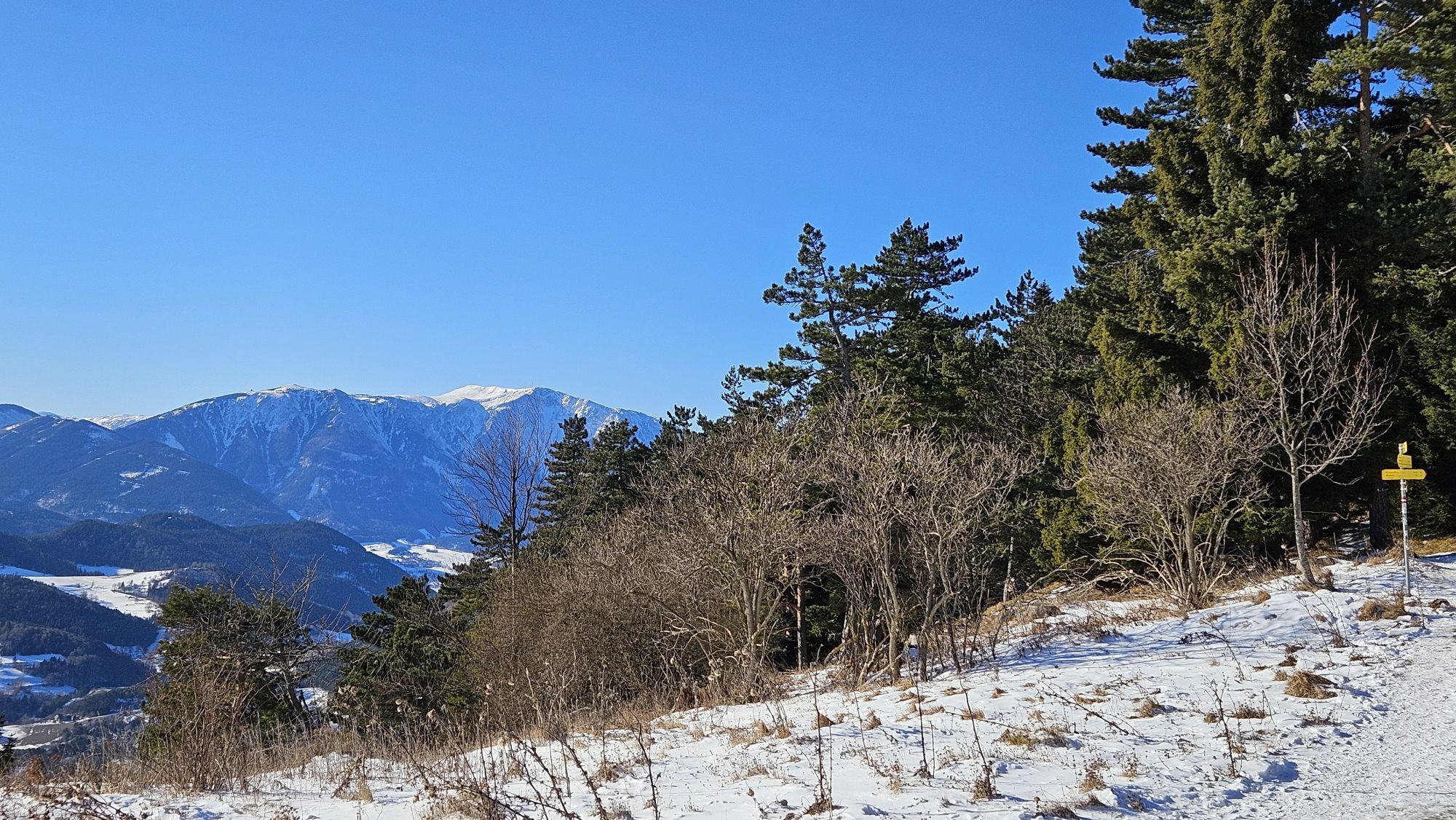
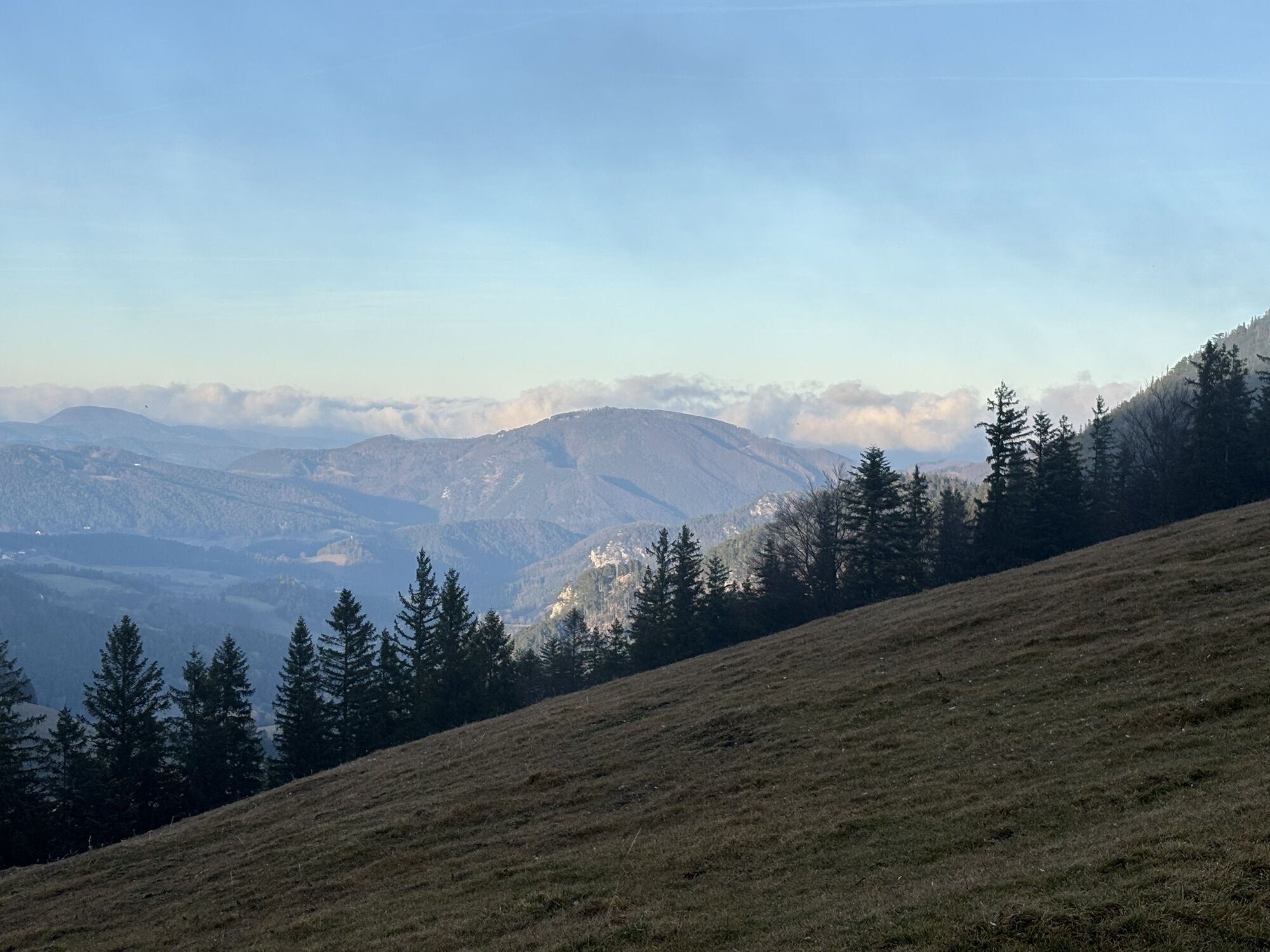
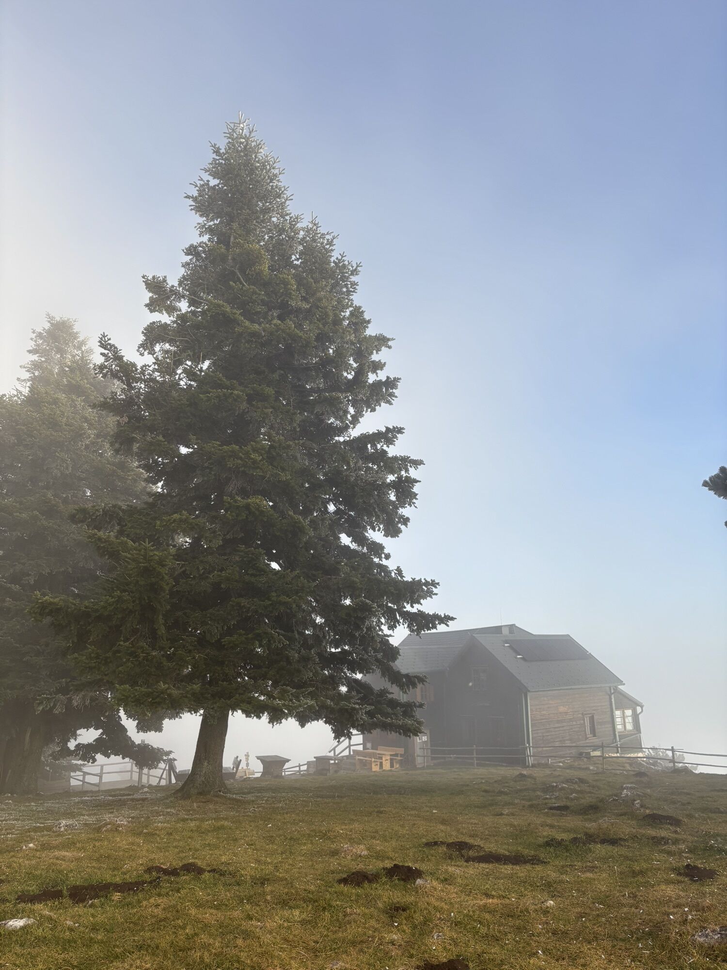
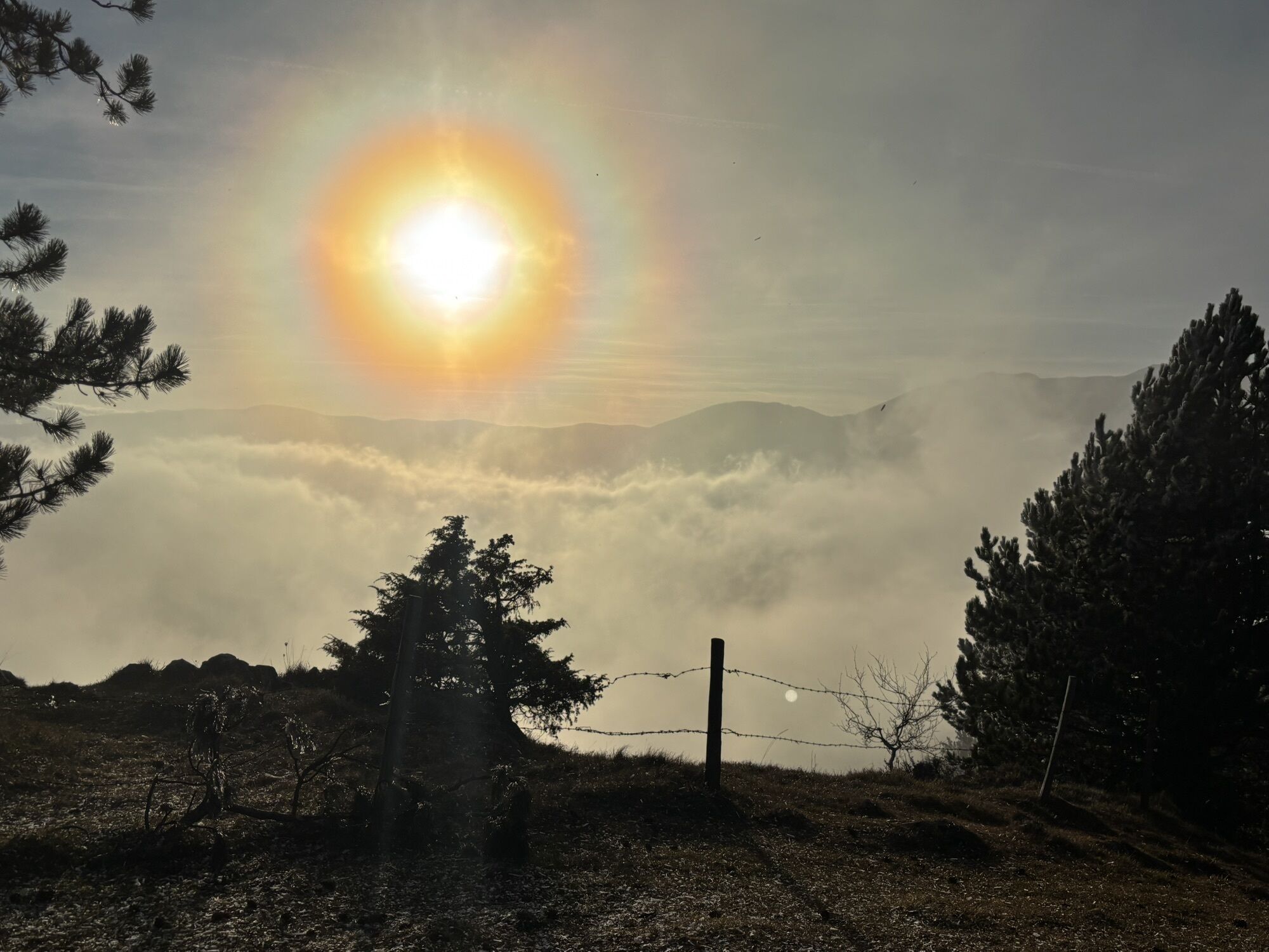
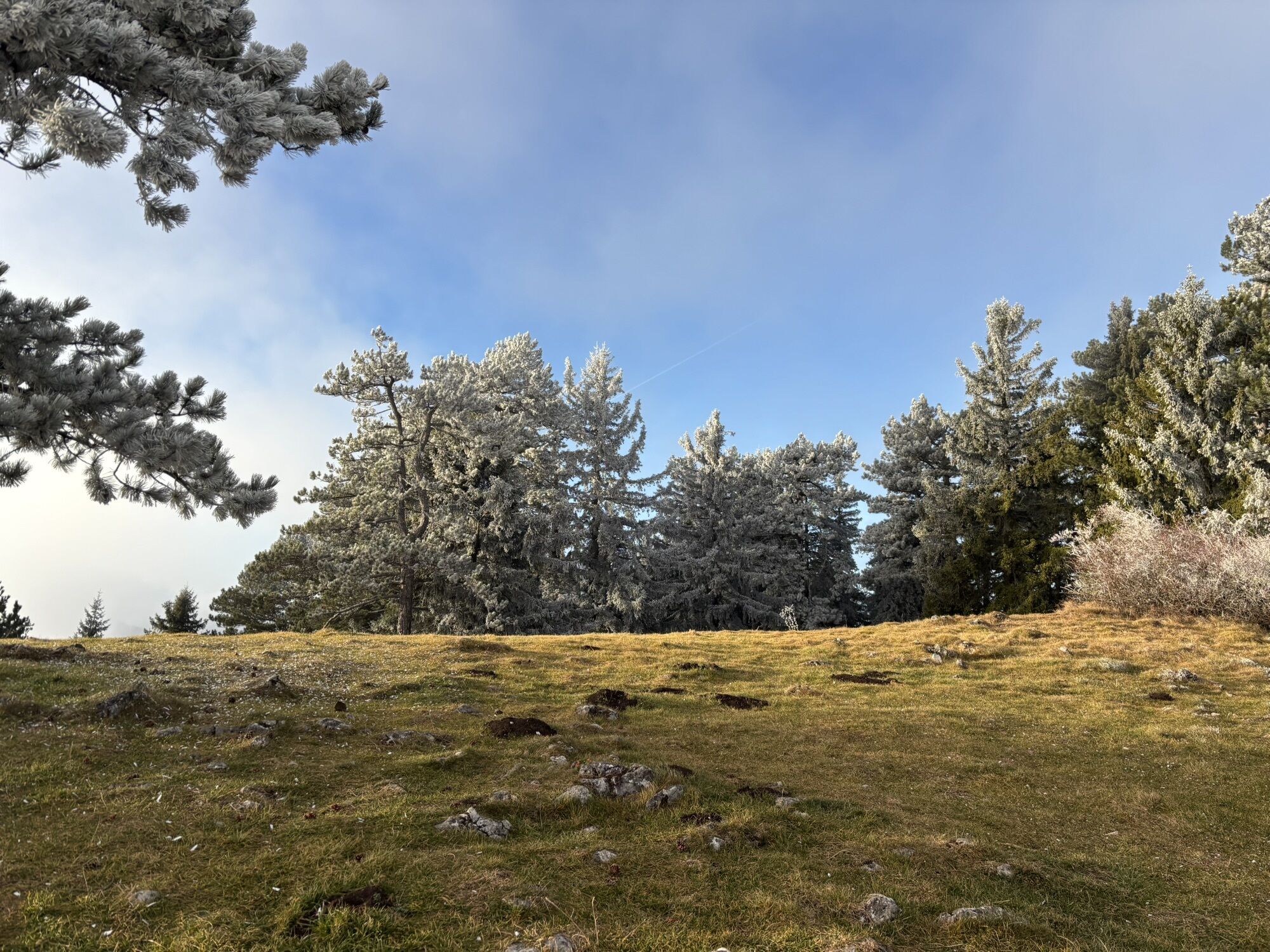
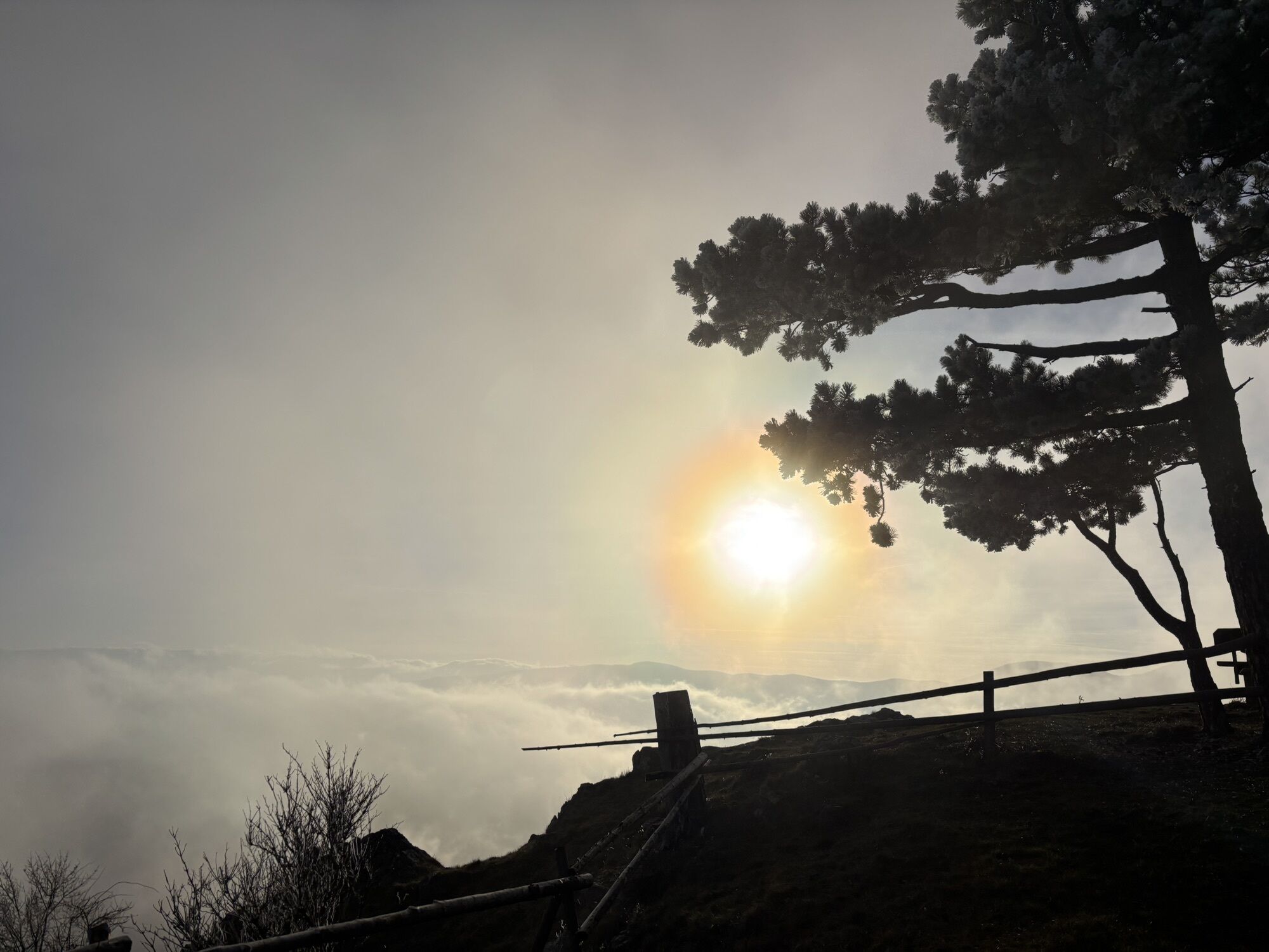
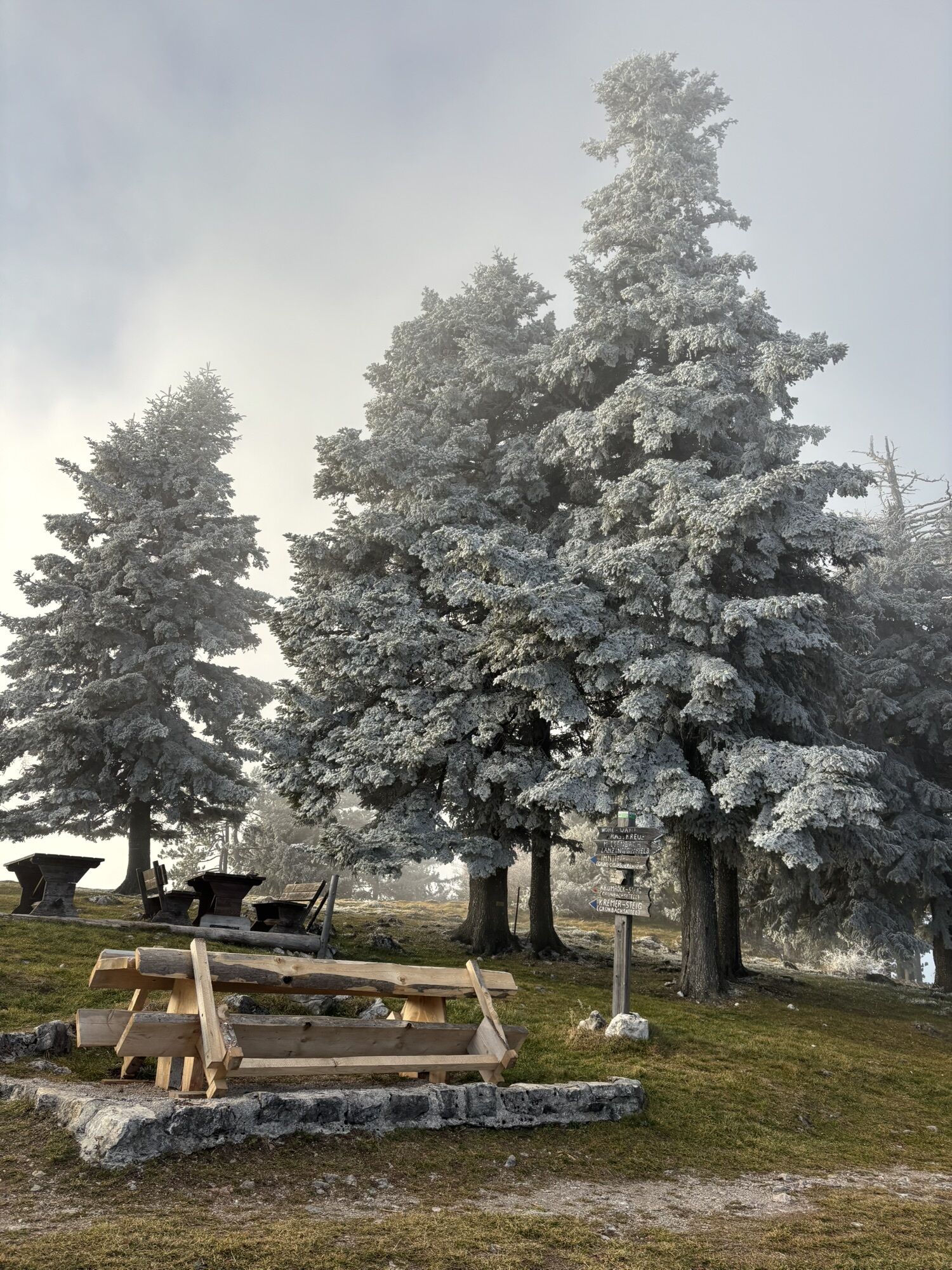

The mountain route leads from Puchberg am Schneeberg via Grünbach am Schneeberg up to the Hohe Wand. The Hohe Wand is a so-called inselberg with an extensive plateau where plants and animals typical of...
<p>The mountain route leads from Puchberg am Schneeberg via Grünbach am Schneeberg up to the Hohe Wand. The Hohe Wand is a so-called inselberg with an extensive plateau where plants and animals typical of the Pannonian steppe live. The path runs along the far west of the plateau over the Hohe Kanzel and grazes the border of the Hohe Wand Nature Park. If it is too quiet there for you, an excursion eastwards is recommended, to the attractions of the nature park: the petting zoo, the observation tower and the skywalk with impressive views straight down, the themed trails, an alpine and local history museum, demonstrations of traditional charcoal production in a charcoal kiln and much more. It is good to plan enough time, because the descent and one or the other stop for refreshments follow, before the train takes us back from Grünbach to Puchberg.</p>

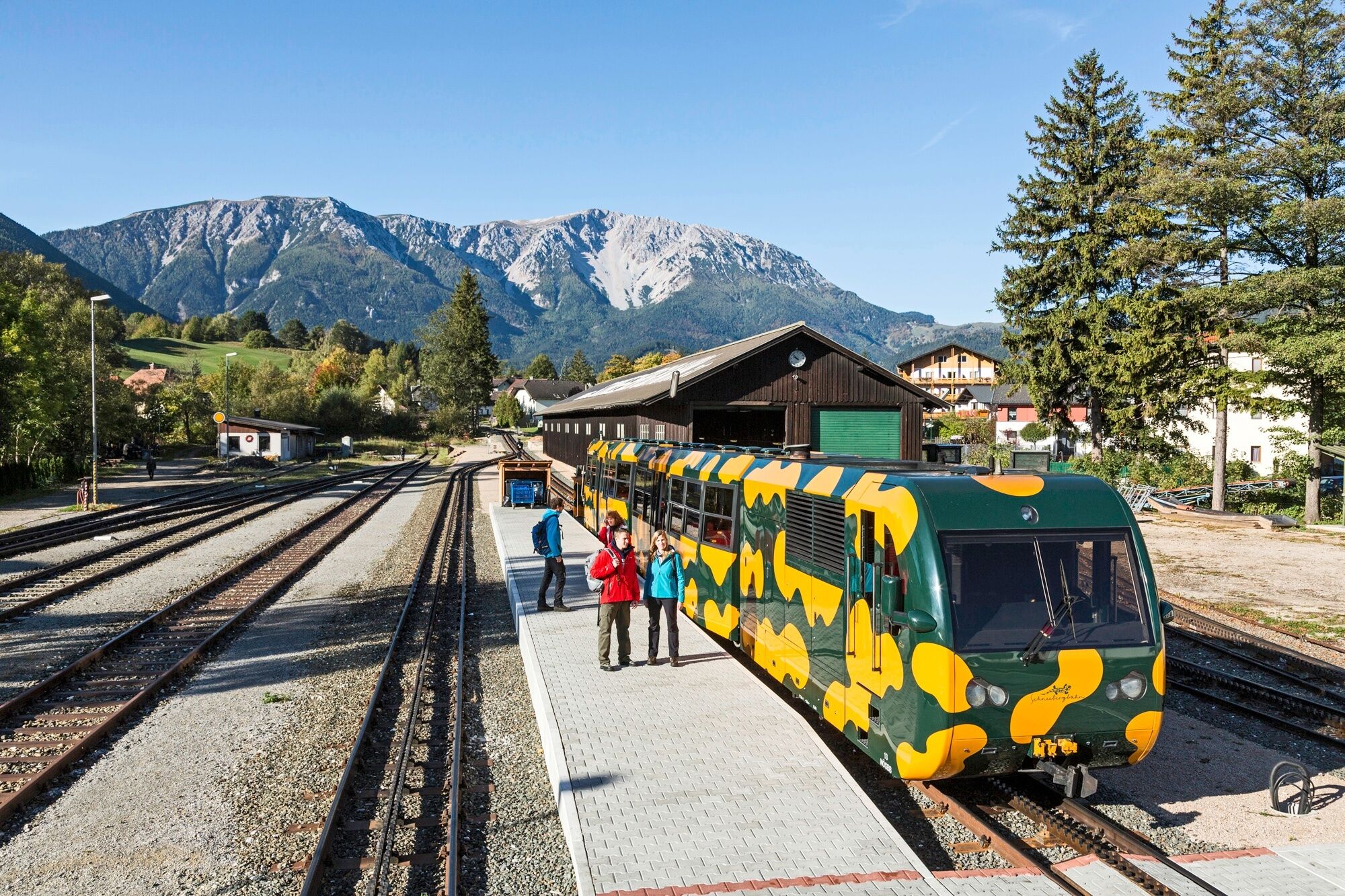
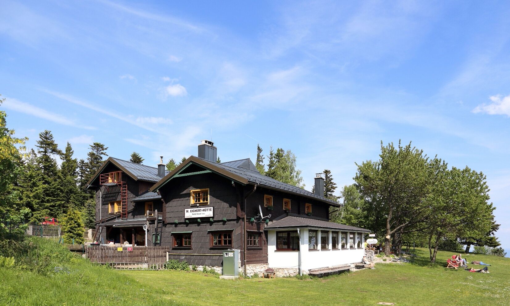

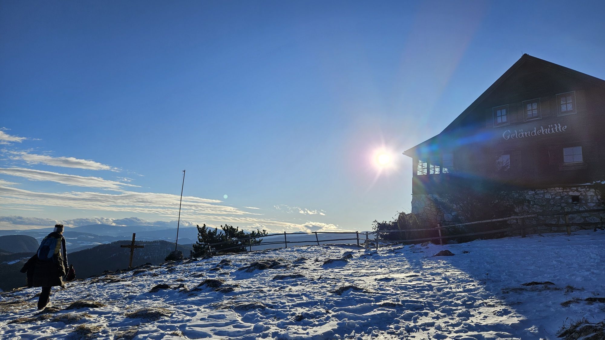
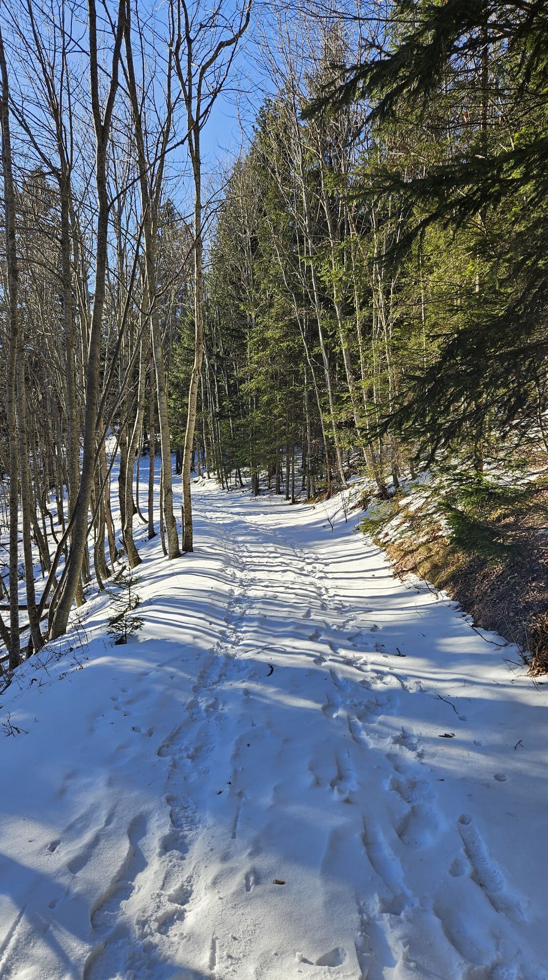
We start at the Puchberg train station (576 m) heading towards Hotel Schneeberghof to Pfennigbach. We continue to the Grünbacher saddle (678 m), the so-called "Klaus." Via the Rastkreuz (868 m) we reach Am Plackles on the Hohe Wand (1132 m). Then we hike further to the Wilhelm Eichert hut (1052 m) and then via the Grafenberg path to Grünbach to the Seiser Toni inn. From there we go to the Grünbach train station, Grünbach am Schneeberg stop (555 m). From here, regular trains run to Puchberg, travel time approx. 15 min.
<p>Always take suitable <strong>maps</strong> with you. Wear sturdy <strong>shoes</strong> suitable for the route, take sun and rain protection as well as water and a small snack. Take your <strong>mobile phone</strong> with you and save the mountain rescue emergency number: 140</p>
<p>Your hikes in the Viennese Alps should be an all-around beautiful and safe experience. Please therefore observe the following:
</p><p>On this path there are some <strong>rocky sections</strong> where <strong>surefootedness</strong> is required.</p><p><strong>Preparation</strong></p><p>Make sure when choosing the route that it matches your experience and <strong>fitness</strong>. Check the <strong>weather report</strong> in advance. The weather in the mountains can change surprisingly quickly. Always start out equipped accordingly (e.g., rain protection).</p><p>Check whether the <strong>huts and snack stations</strong> you want to visit along the way are open. <strong>Inform</strong> someone about your route choice and planned return before setting out.</p>
<p>From Vienna or Graz via the South Motorway A2 to the Wr. Neustadt West exit and B26 to Puchberg am Schneeberg.</p>
<p>Take the train from Vienna or Graz to Wiener Neustadt. From there, take the regional train towards Puchberg am Schneeberg to the final stop. Buses also operate.
</p><p>More information at <a href="www.oebb.at">www.oebb.at</... or <a href="www.vor.at">www.vor.at</a&...
<p>Parking is available at the Puchberg train station.</p>
Terrain hut at the summit of the terrain, tel. 02632/78914 or 0676 7877358
Scheimhütte at Rastkreuz, tel. 0699/10008170
Wilhelm Eichert hut on the Hohe Wand, tel. 02637/22 58
Inn Seiser Toni, Grünbach am Schneeberg, Theresienstollen 1, 02637/2266
Tourism association Schneebergland, +43 / 02636 / 22 56-11
Viennese Alps in Lower Austria, www.wieneralpen.at, +43 / 2622 / 78960
Recommended accommodation in Grünbach am Schneeberg is the country inn Schubertlinde or the Hotel Schneeberghof, the Hotel Wanzenböck as well as the Forellenhof in Puchberg!
Kamery internetowe z trasy
Uzyskaj wgląd
Zawsze na żywo z ponad 9 500 kamer internetowych. bergfex Jako użytkownik Pro, możesz teraz zobaczyć odpowiednie kamery internetowe dla wielu wycieczek w aplikacji wycieczki od. Pozwala to na bezpośredni podgląd aktualnych warunków.
Popularne wycieczki w okolicy
-
4,6
Losenheim: Edelweißhütte - Fadensteig - Fischerhütte
średniWędrówka 11,5 km -
4,7
Zahnradbahn und Wandern am Schneeberg - Plateauwanderung
średniWędrówka 6,90 km -
4,8
Cultural walk Payerbach-Reichenau
światłoWędrówka 7,43 km -
5,0
Insider tip: Schneeberg via the Novembergrat
ciężkiWędrówka 13,5 km -
4,9
"Über den höchsten Nieder-Ösi" - Schneeberg - Weichtalklamm - Klosterwappen - Stadlwandleiten
średniWędrówka 17,7 km -
4,9
SCHNEEBERG Losenheim Nandlgrat Klosterwappen Fadenweg 28.09.2017
ciężkiWędrówka 15 km -
4,8
Flatzer Wand Wanderung
światłoWędrówka 5,62 km -
4,8
"Krummbachstein 1602m" - Eng - Payerbach - Rundwanderweg
średniWędrówka 24,8 km -
4,8
ÖTK Klettersteig (vormals HTL Klettersteig) und Blutspur (D/E)
ciężkiVia ferrata 1,41 km -
4,8
Hohe Wand: Babygrat (1+), Rundwanderung und Wagnersteig (A)
ciężkiWędrówka 11,8 km
Wędrówki i tropienie


Nie przegap ofert i inspiracji na następne wakacje
Twój adres e-mail została dodana do listy mailingowej.





