






Cider tavern route (Warth-Kirchau)

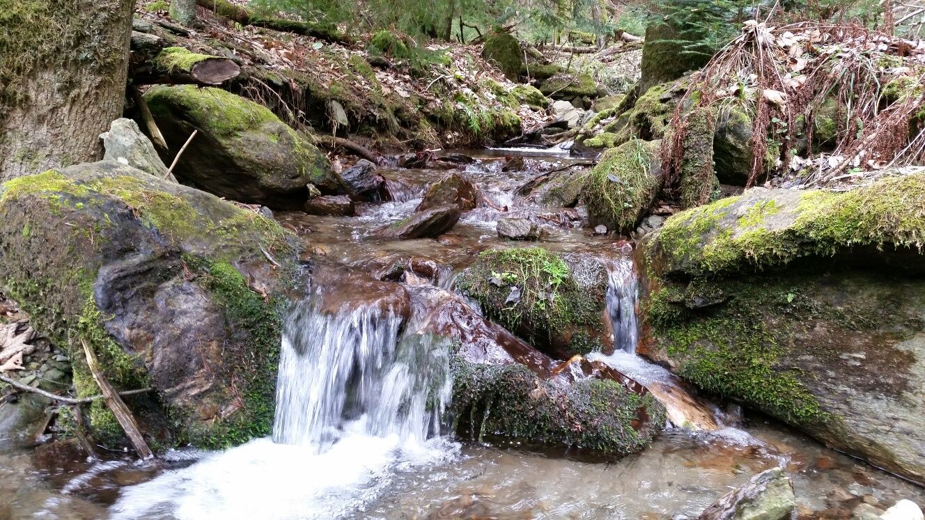
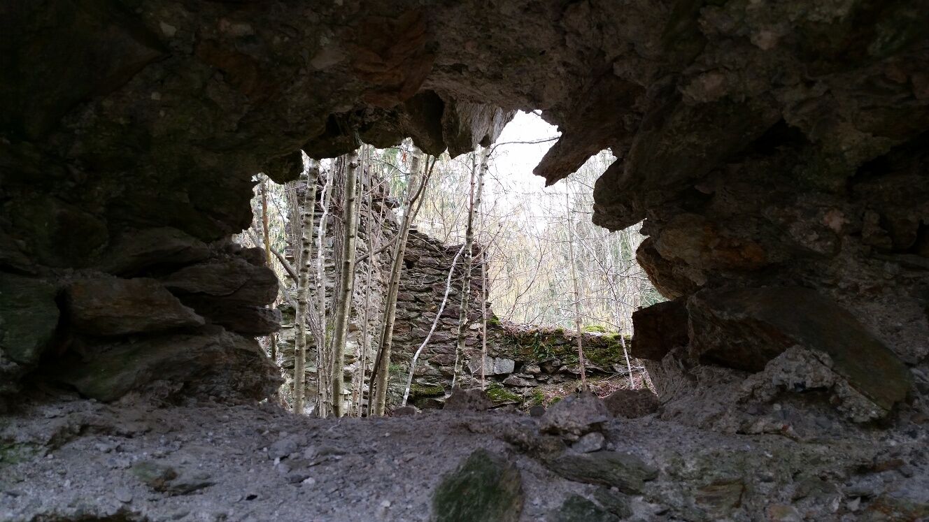

<p>From the church square along the village street toward Haßbach, after the first intersection toward Maierhöfen, after 100 meters through the forest and across fields following the red marking to the group Kleineben, through the forest to the Stubenberg ruin, next to a small stream turn right uphill into the village Molfritz (noteworthy orchards), it goes downhill, via a field path we enter the forest, cross a small stream and follow the blue marking.</p><p>Shortcut: uphill to the group Zierhof, where a cider tavern is open several times a year</p><p>From Eben follow the green marking, past the fire station of FF Grimmenstein-Kirchau to Maierhöfen, about 300 meters follow the asphalt road, turn left, go downhill in the forest and follow the marking with the sign to the cider tavern Lindenhof. Through the forest and across the municipal road continue and after 300 m turn right. Steeply downwards to Kirchau with a notable church, old elementary school and Bistro B&B</p>
<p>Wear suitable clothing and sturdy footwear. Remember rain and sun protection. Bring enough to drink.</p><p>Always take suitable maps with you. Wear shoes appropriate for the route, bring sun and rain protection as well as water and a small snack. Take your mobile phone and save the emergency number of the mountain rescue: 140</p>
<p>Your hikes in the Viennese Alps should be a thoroughly enjoyable and safe experience. Please therefore note the following:</p><p><strong>Preparation</strong></p><p>Make sure when choosing the route that it matches your experience and fitness level. Check the weather forecast in advance. The weather can change unexpectedly quickly in the mountains. Therefore, always set out accordingly equipped (e.g., rain protection).</p><p>Check whether the huts and snack stations you want to visit along the way are open. Inform someone about your route choice and planned return before you set off.</p>
<p>A2 South motorway exit Seebenstein or Grimmenstein, B54 to Warth, LH143 from Warth to Kirchau
</p><p>from Neunkirchen via LH143 over Haßbach to Kirchau</p>
<p>By train to Scheiblingkirchen-Warth station, then by bus to Kirchau (only on school days)
</p><p>By bus to Warth marketplace, then by bus to Kirchau (only on school days)</p><p>More info at: <a href="www.vor.at">www.vor.at</a&...
<p>in immediate vicinity</p>
Viennese Alps in Lower Austria, www.wieneralpen.at, +43 / 2622 / 78960
Adventure region Bucklige Welt south, www.buckligewelt.info, +43 / 676 / 3509806
Check in advance if the cider taverns are open.
Popularne wycieczki w okolicy
-
4,8
Flatzer Wand Wanderung
światłoWędrówka 5,62 km -
3,8
St. Corona - Kampstein
średniWędrówka 10,7 km -
4,6
Prigglitz - Pottschacher Hütte - Rote Wand - Prigglitz
światłoWędrówka 8,80 km -
4,5
Schanzkapelle - Kleiner Otter - Mitterotter - Großer Otter - Kummerbauerstadl - von Göstritz Göstritz, Niederösterreich
średniWędrówka 11,6 km -
4,5
Bucklige Welt: Auf dem Pittentaler Klettersteig zum Türkensturz
średniVia ferrata 1,96 km -
4,3
Türkensturz Rundwanderung
średniWędrówka 2,56 km -
5,0
Seebenstein - Türkensturz - Burg Seebenstein
światłoWędrówka 7,50 km -
4,2
Gösing - Flatzer Wand
średniWędrówka 12,2 km -
4,4
Paradies Prigglitz
światłoWędrówka 5,75 km -
4,0
Bucklige Welt: Burg Grimmenstein und Kulmriegel
światłoWędrówka 10,5 km

Wędrówki i tropienie


Nie przegap ofert i inspiracji na następne wakacje
Twój adres e-mail została dodana do listy mailingowej.





