







Culinary hike through the Bucklige Welt
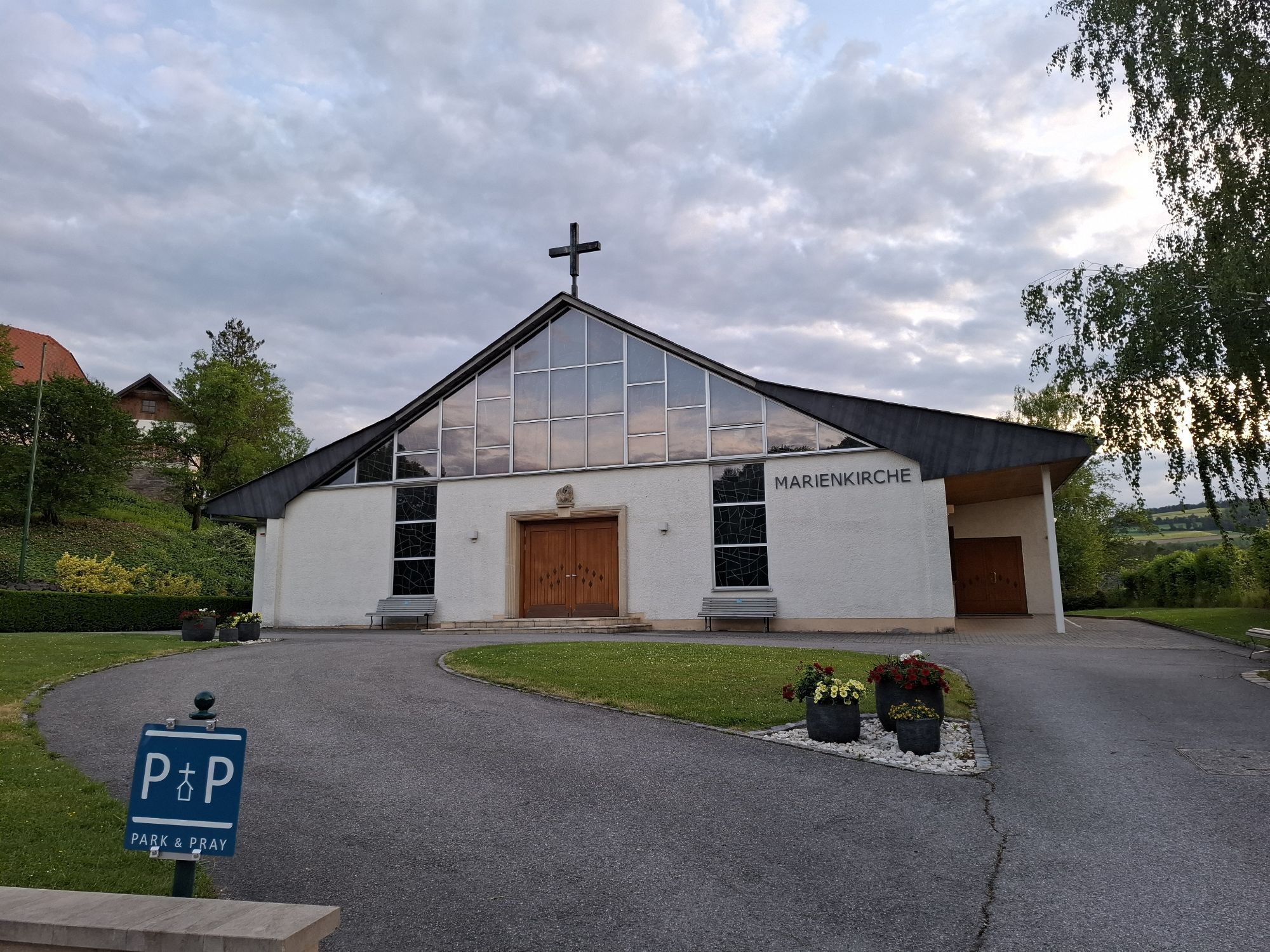
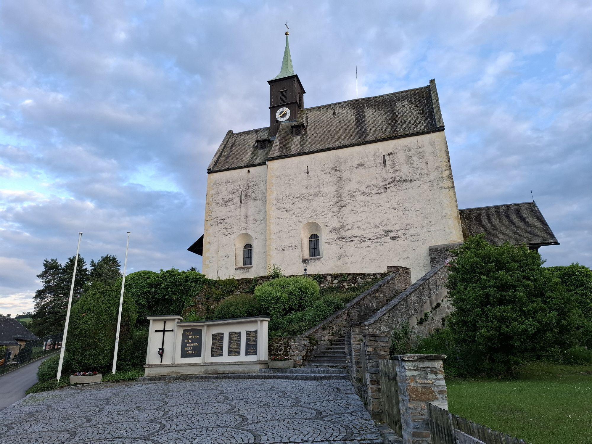
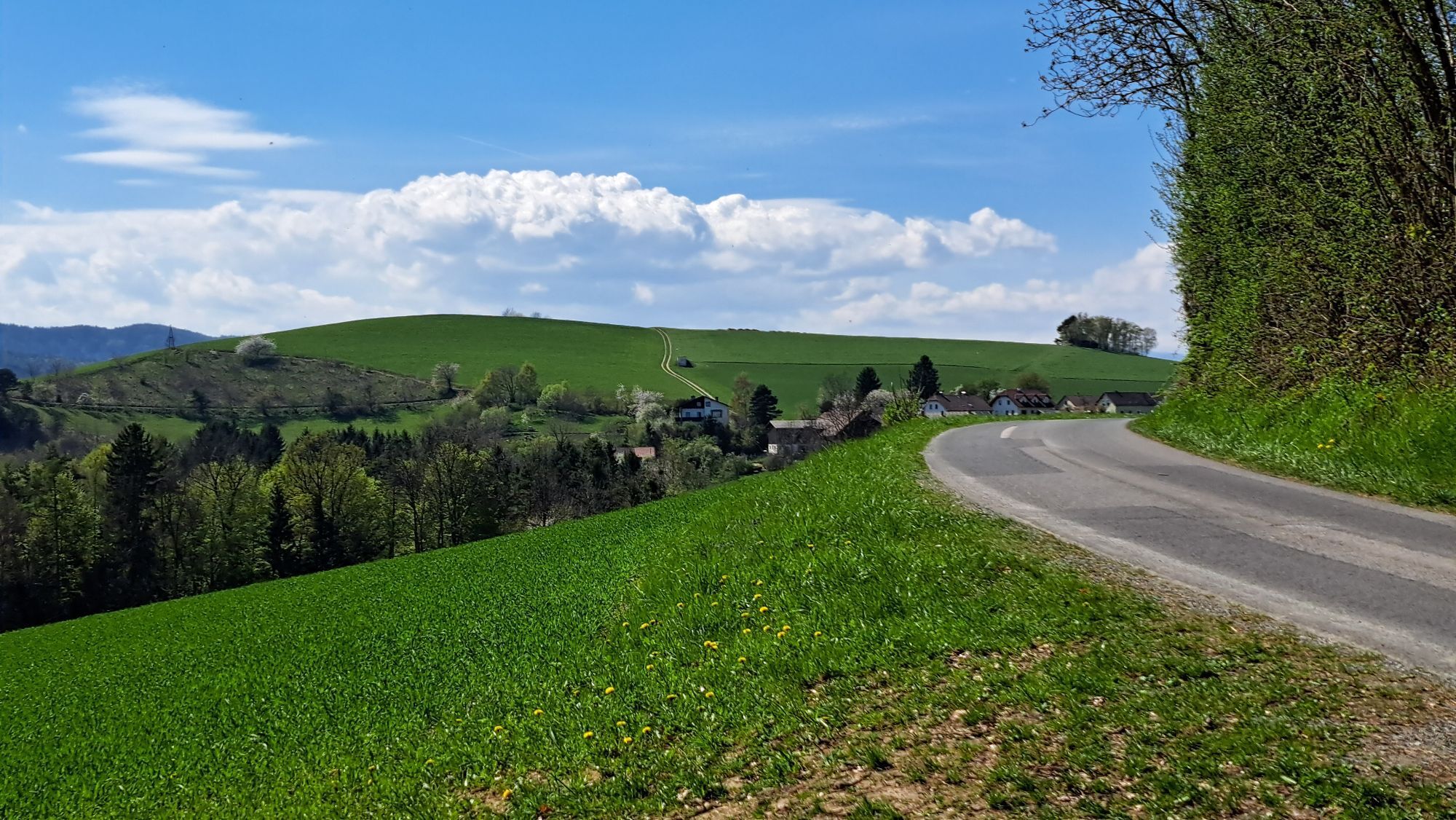
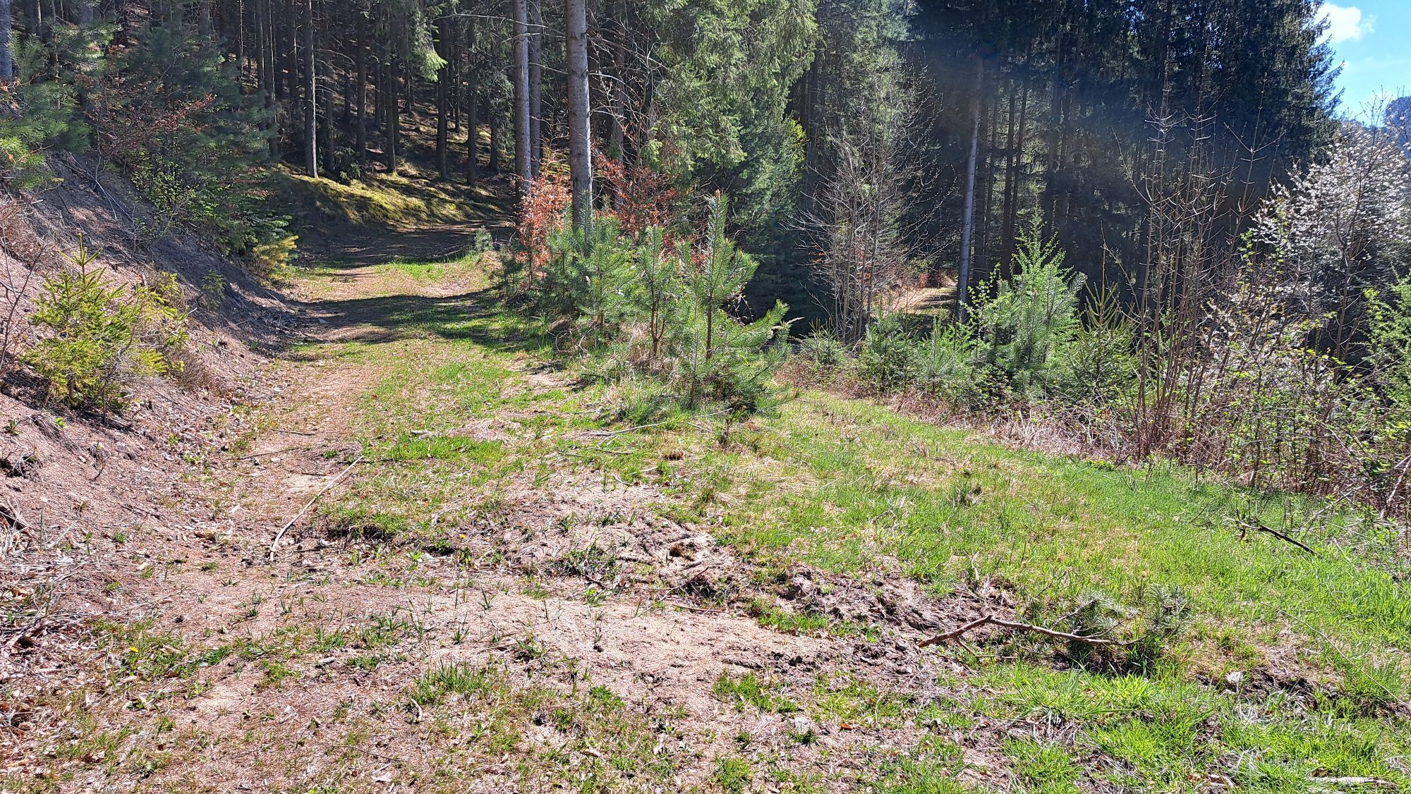
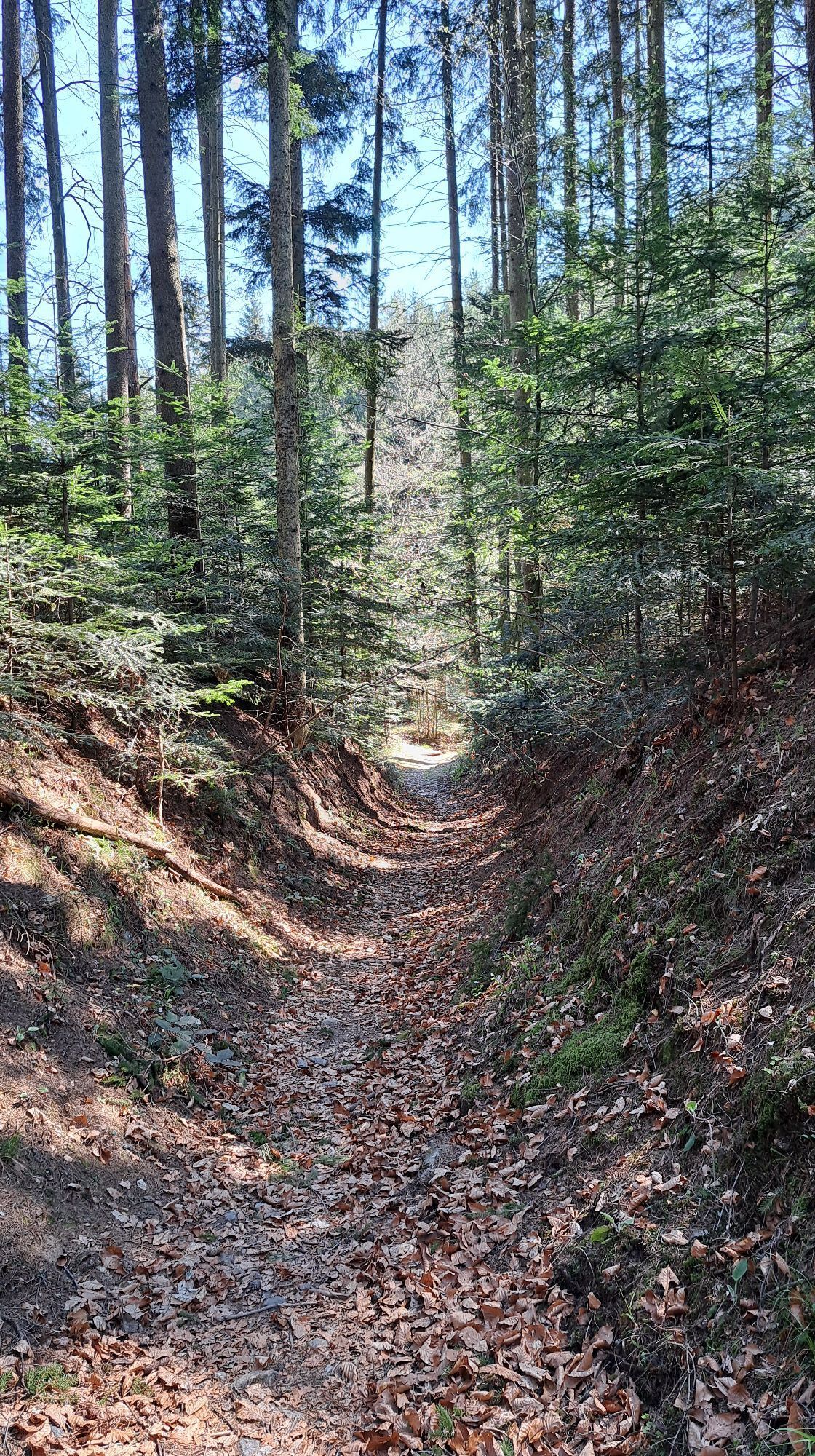
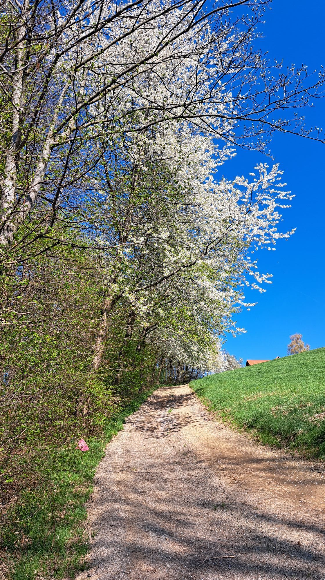
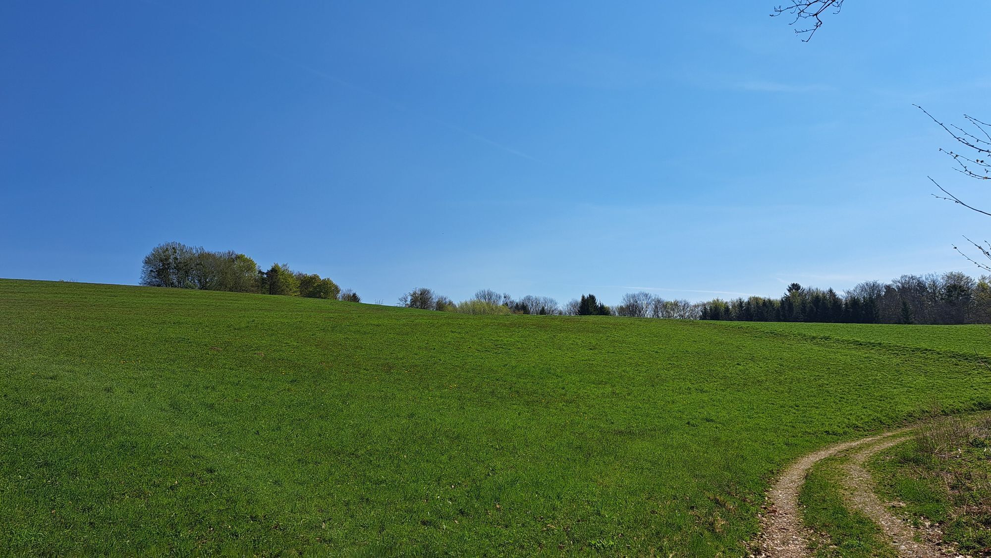
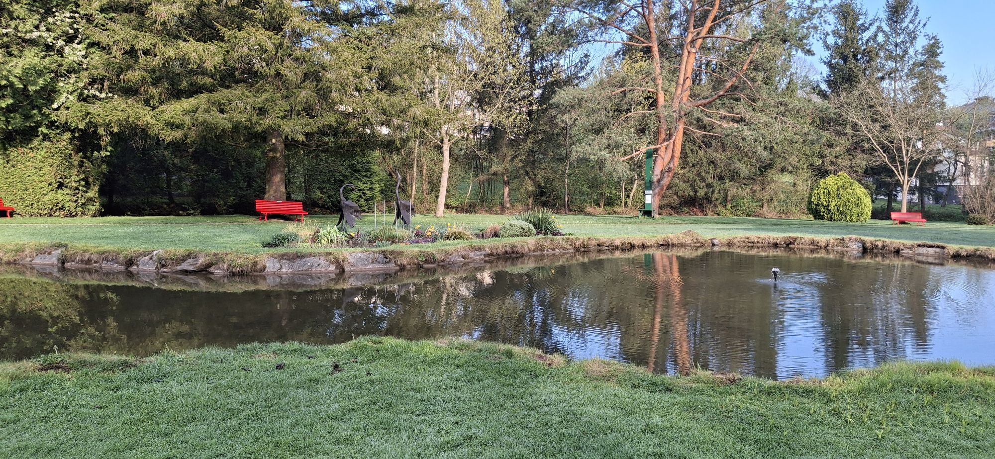
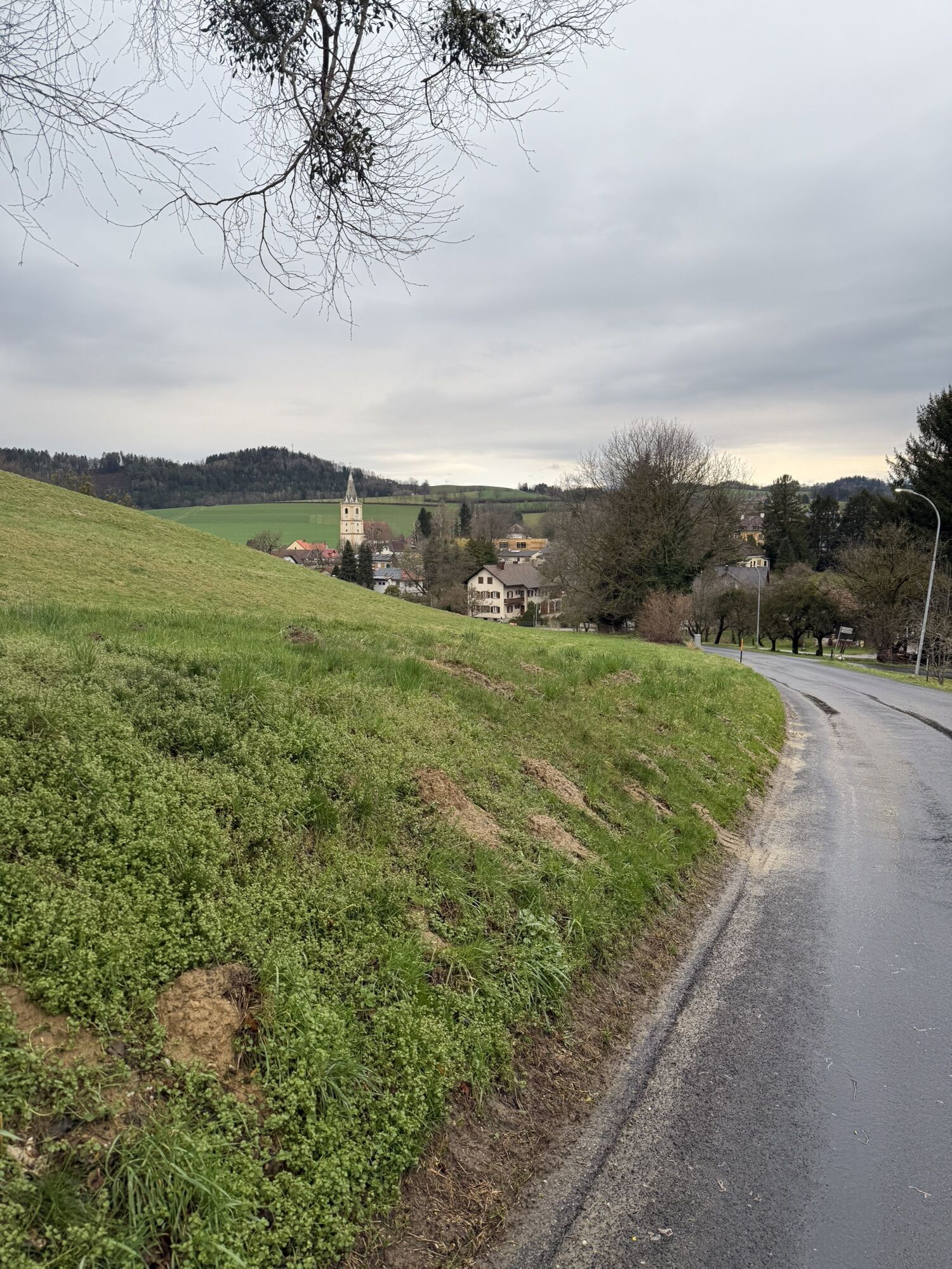
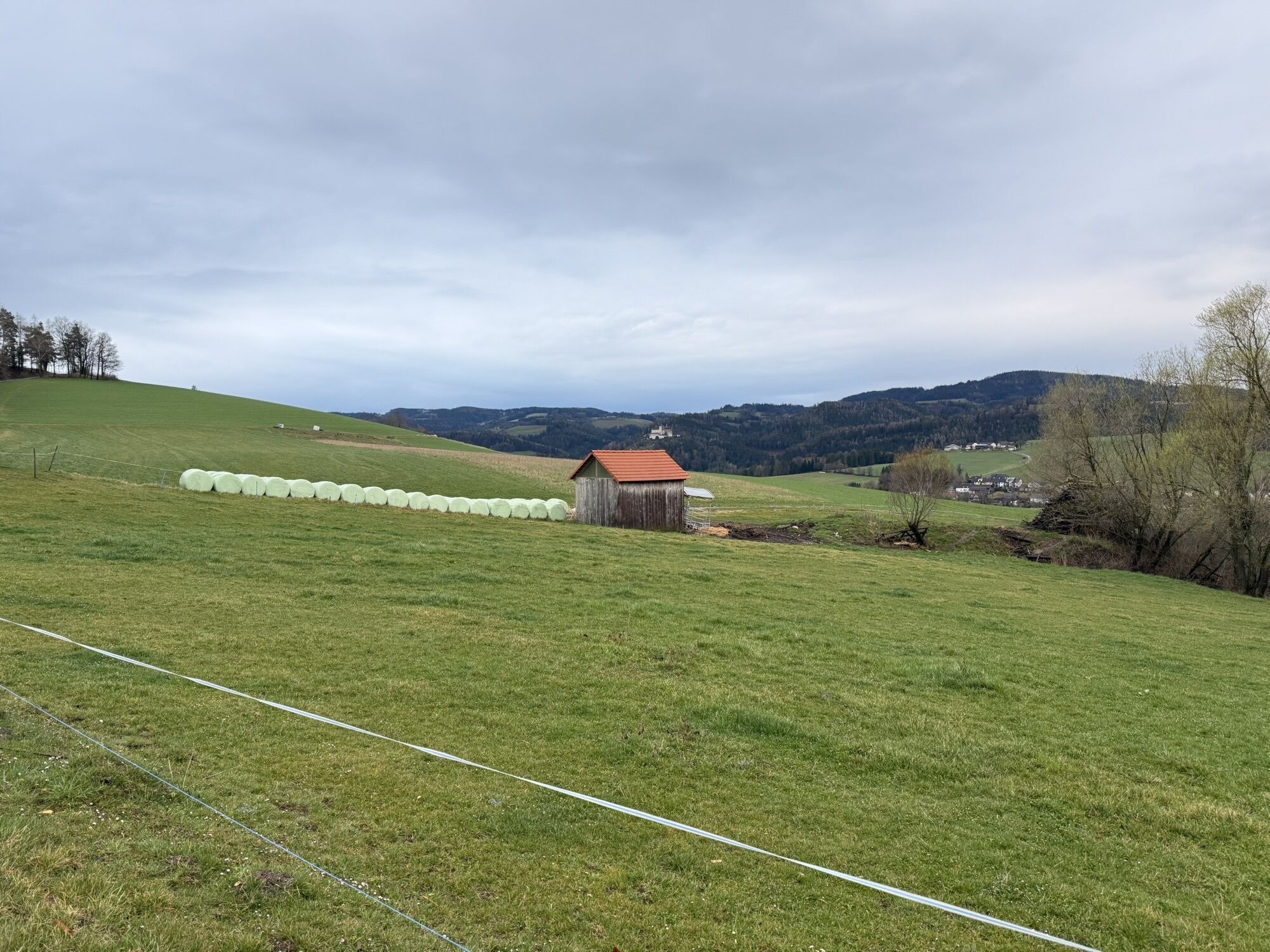
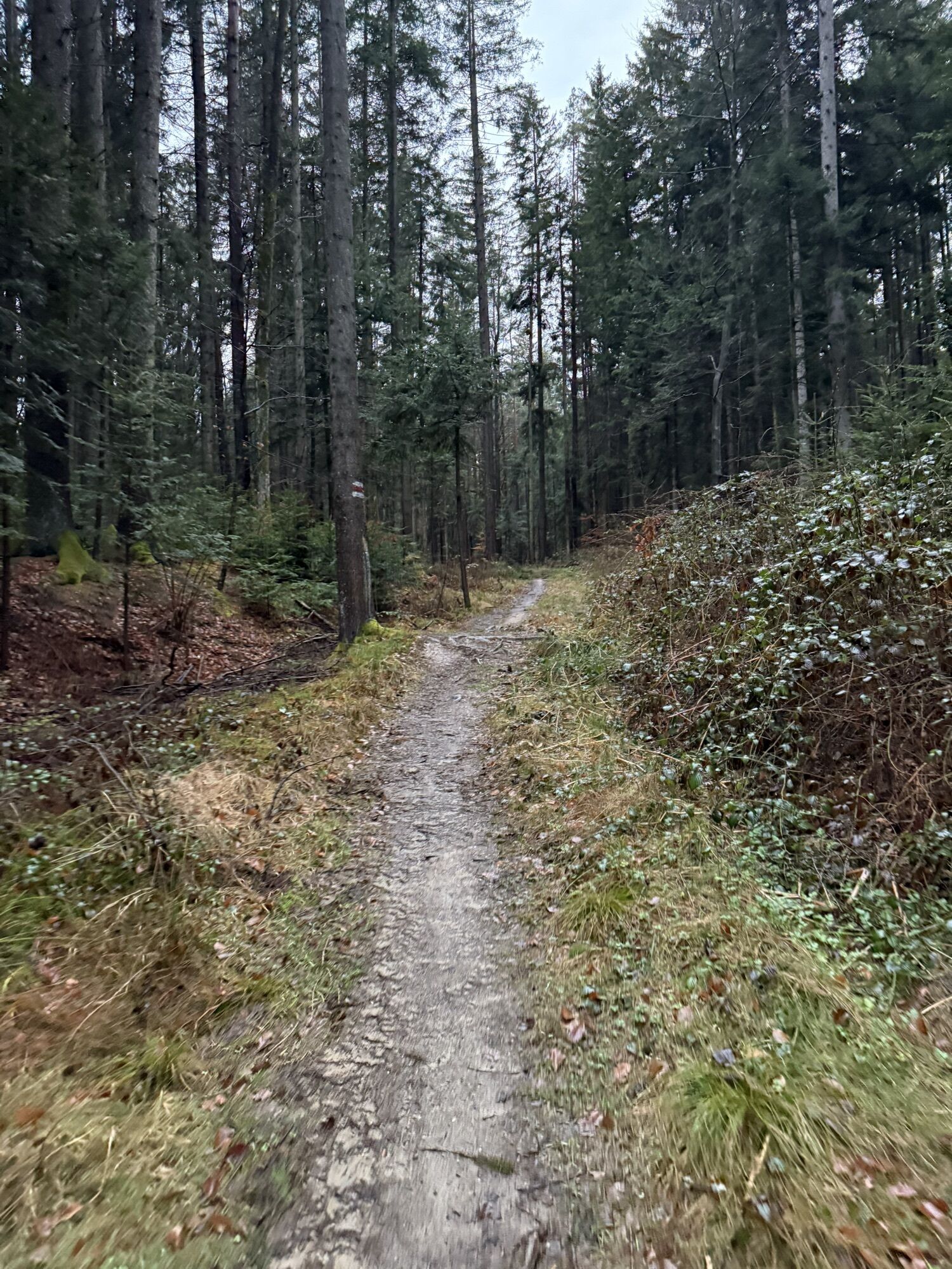
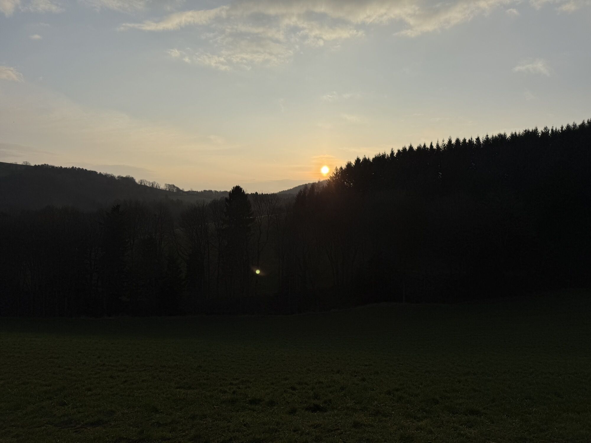
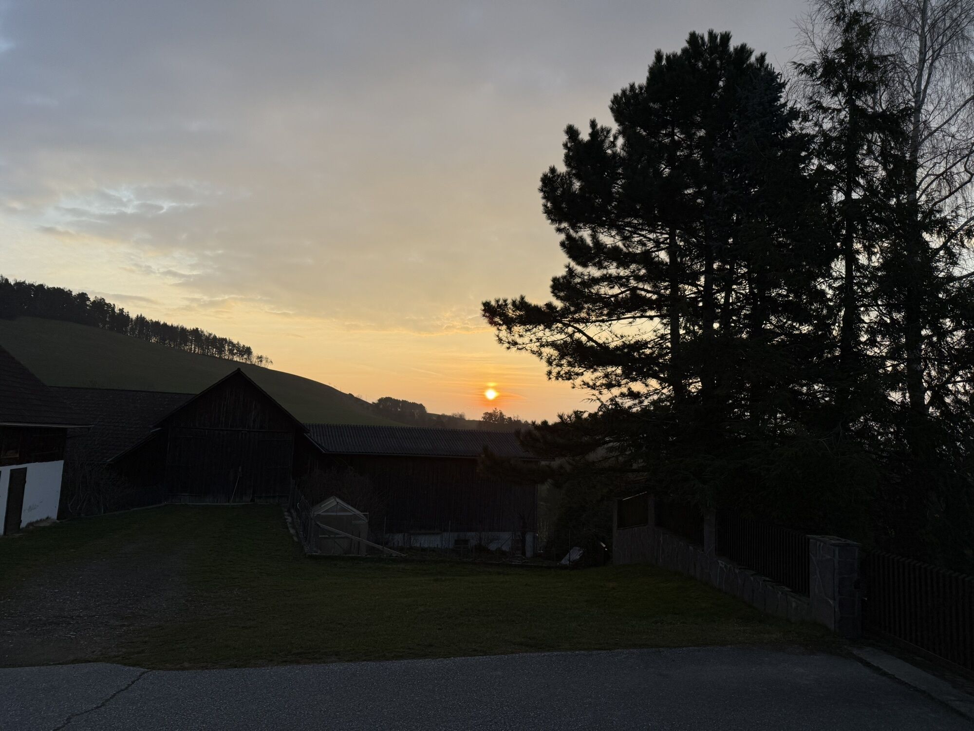

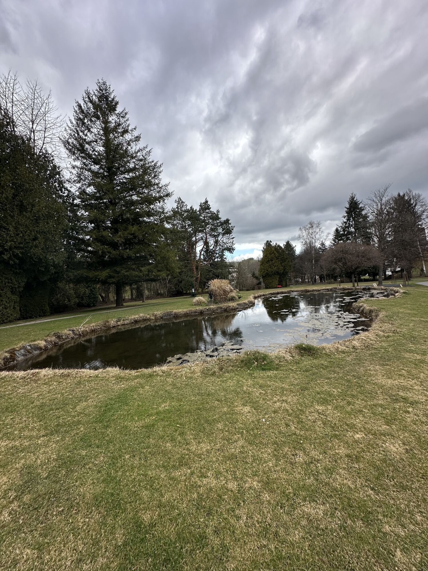
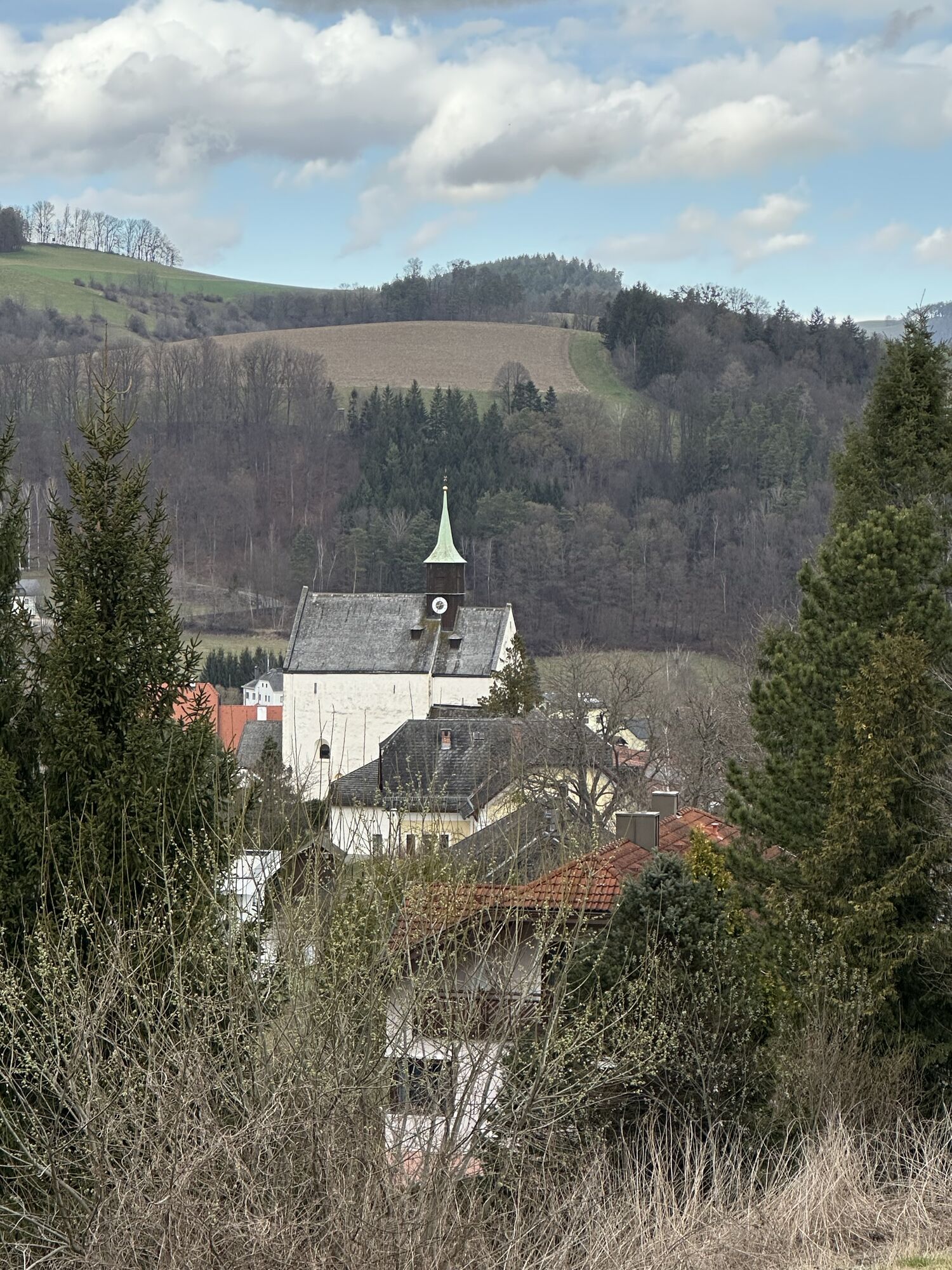
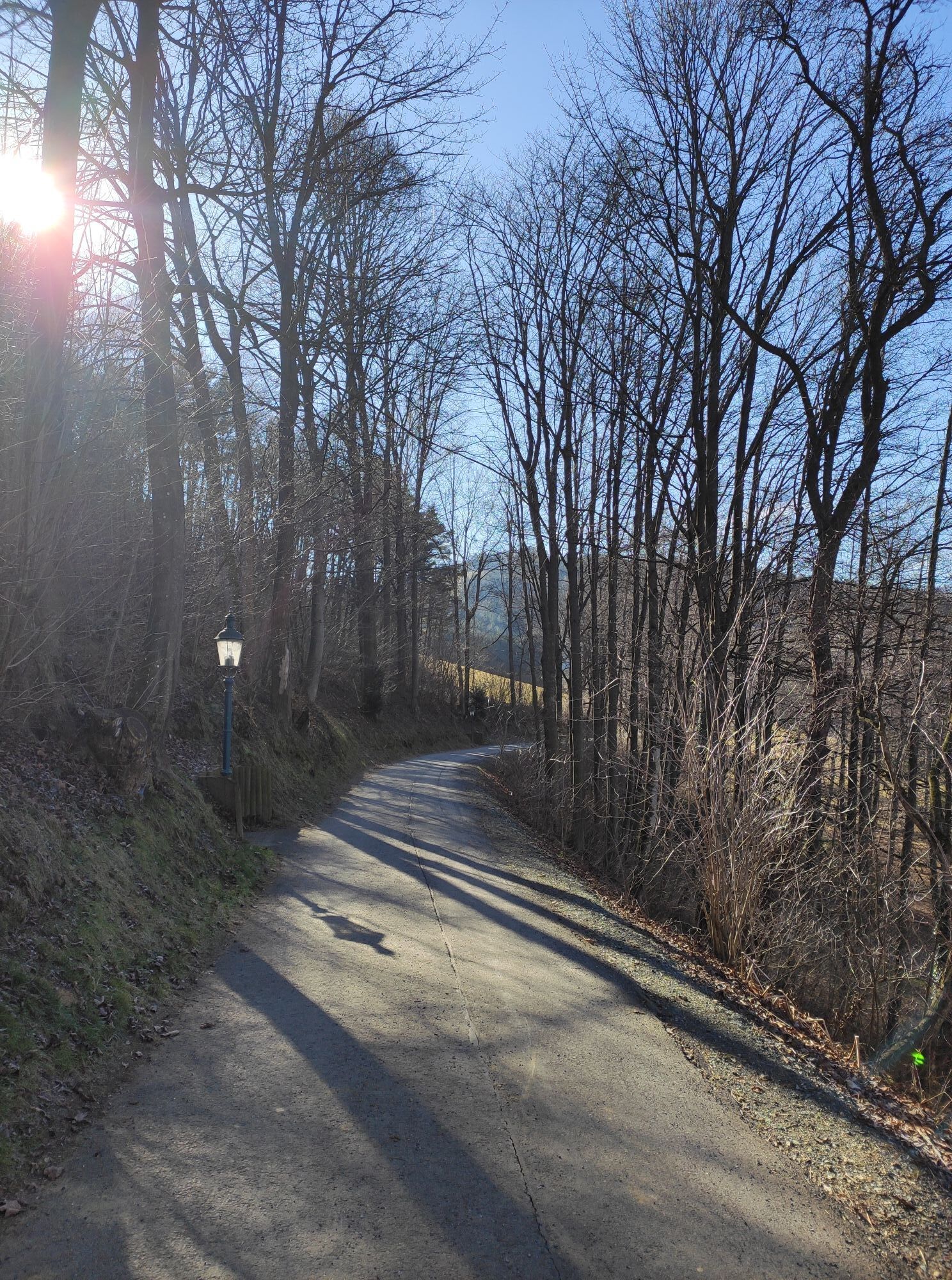
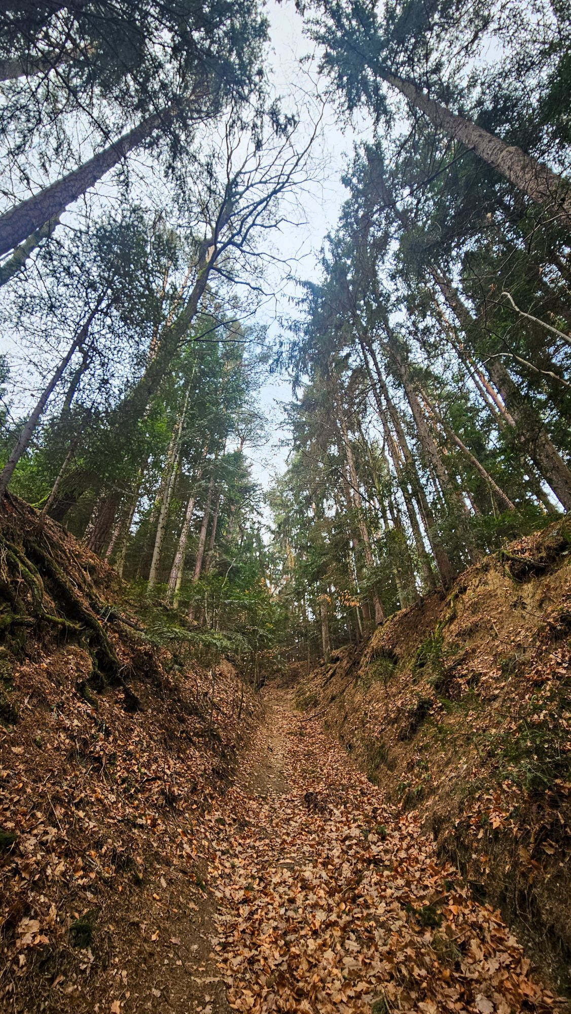
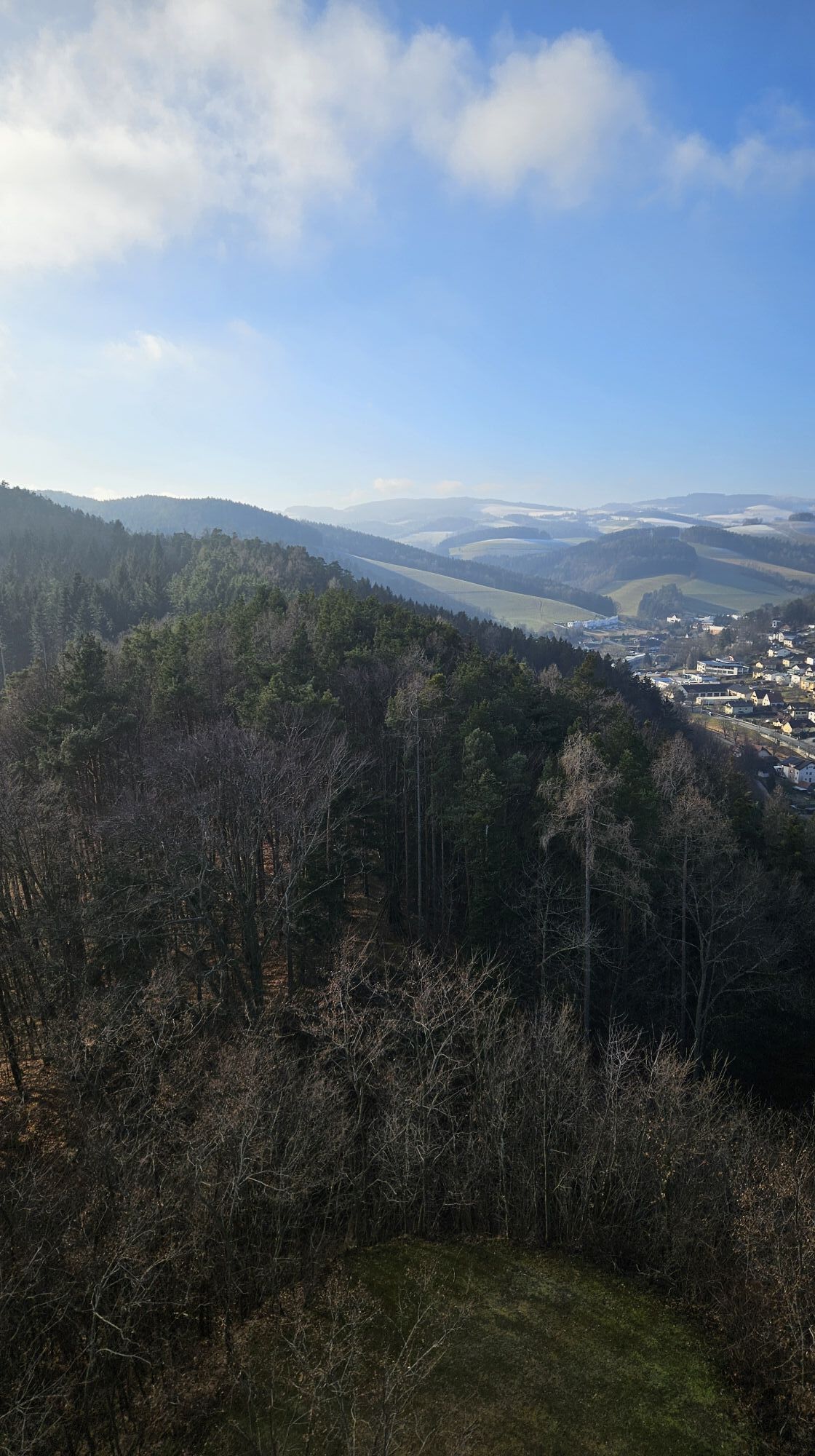
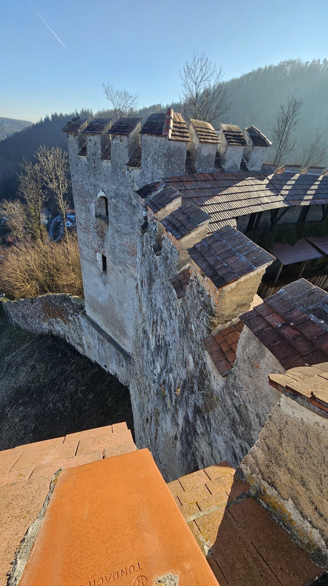
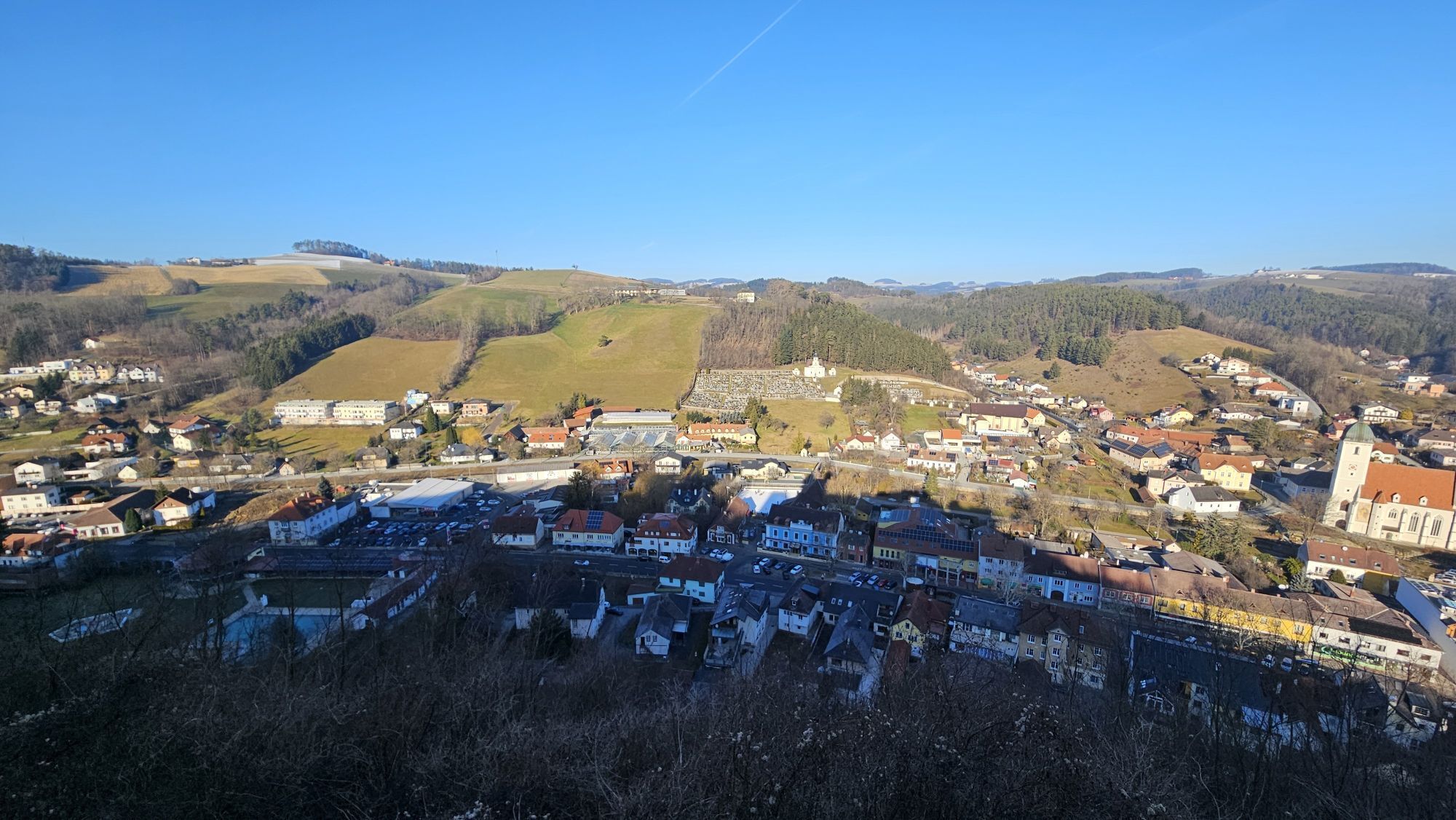
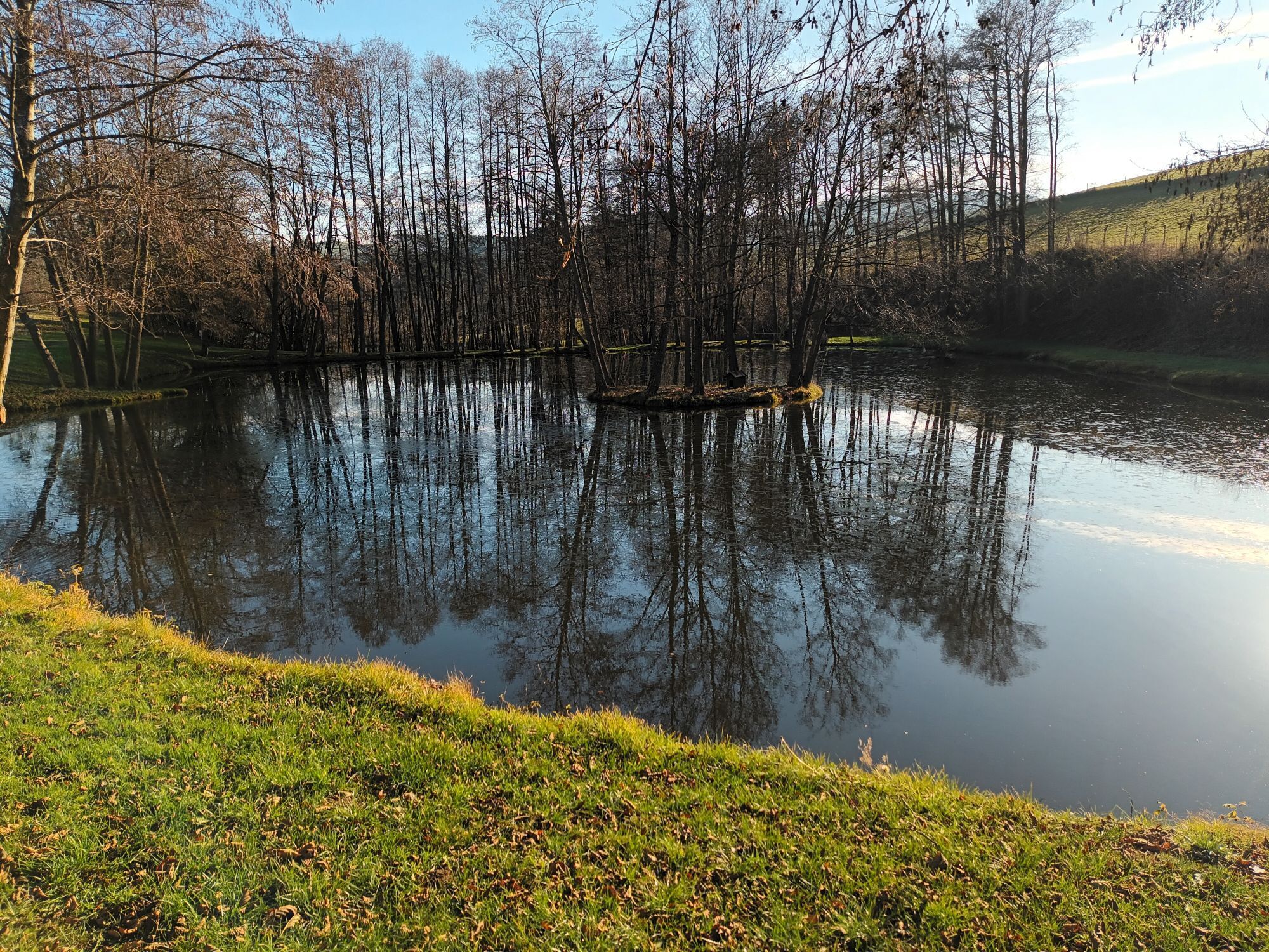
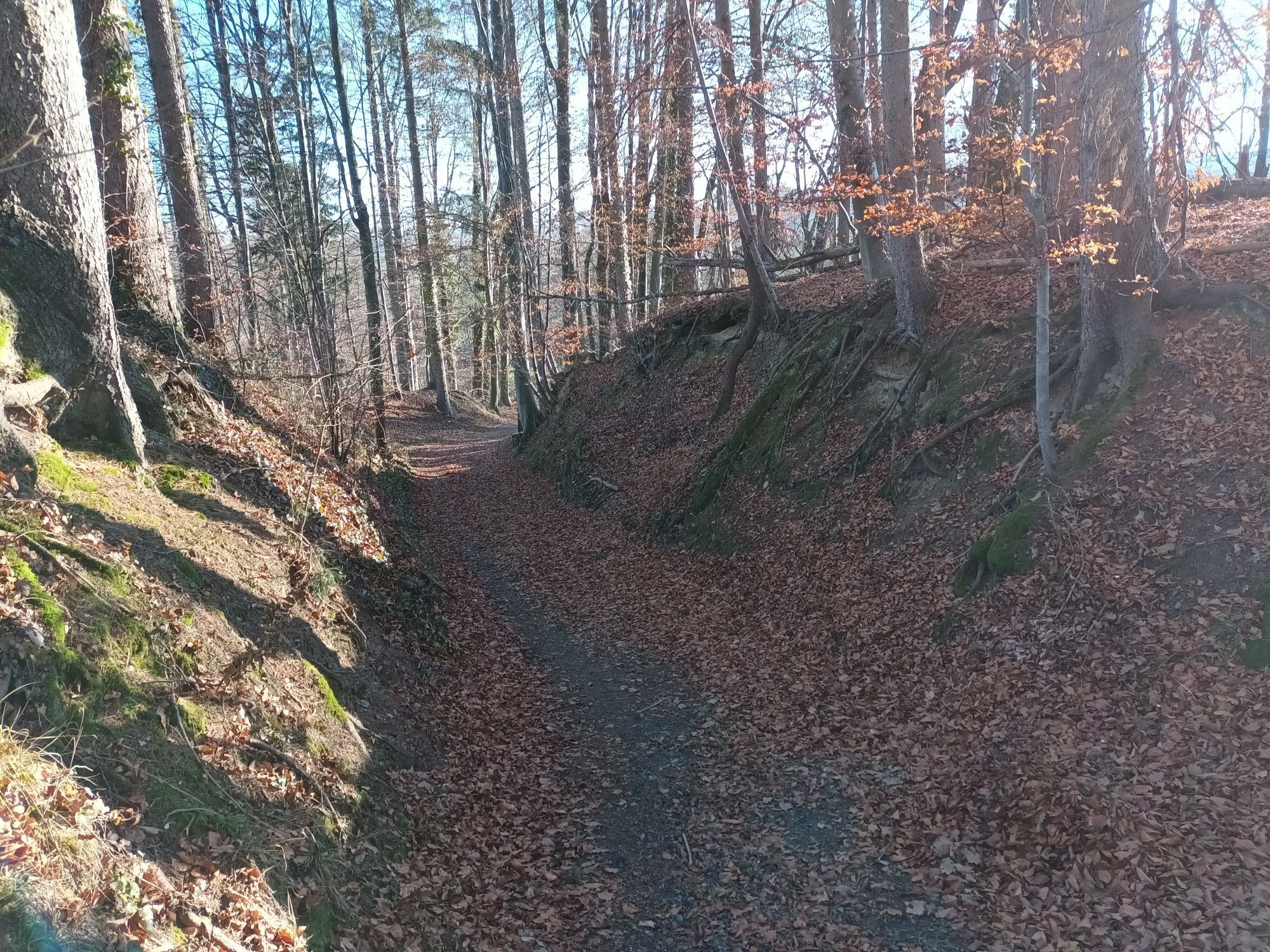
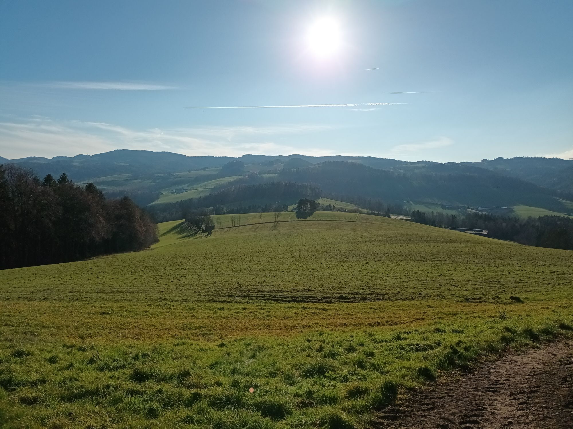
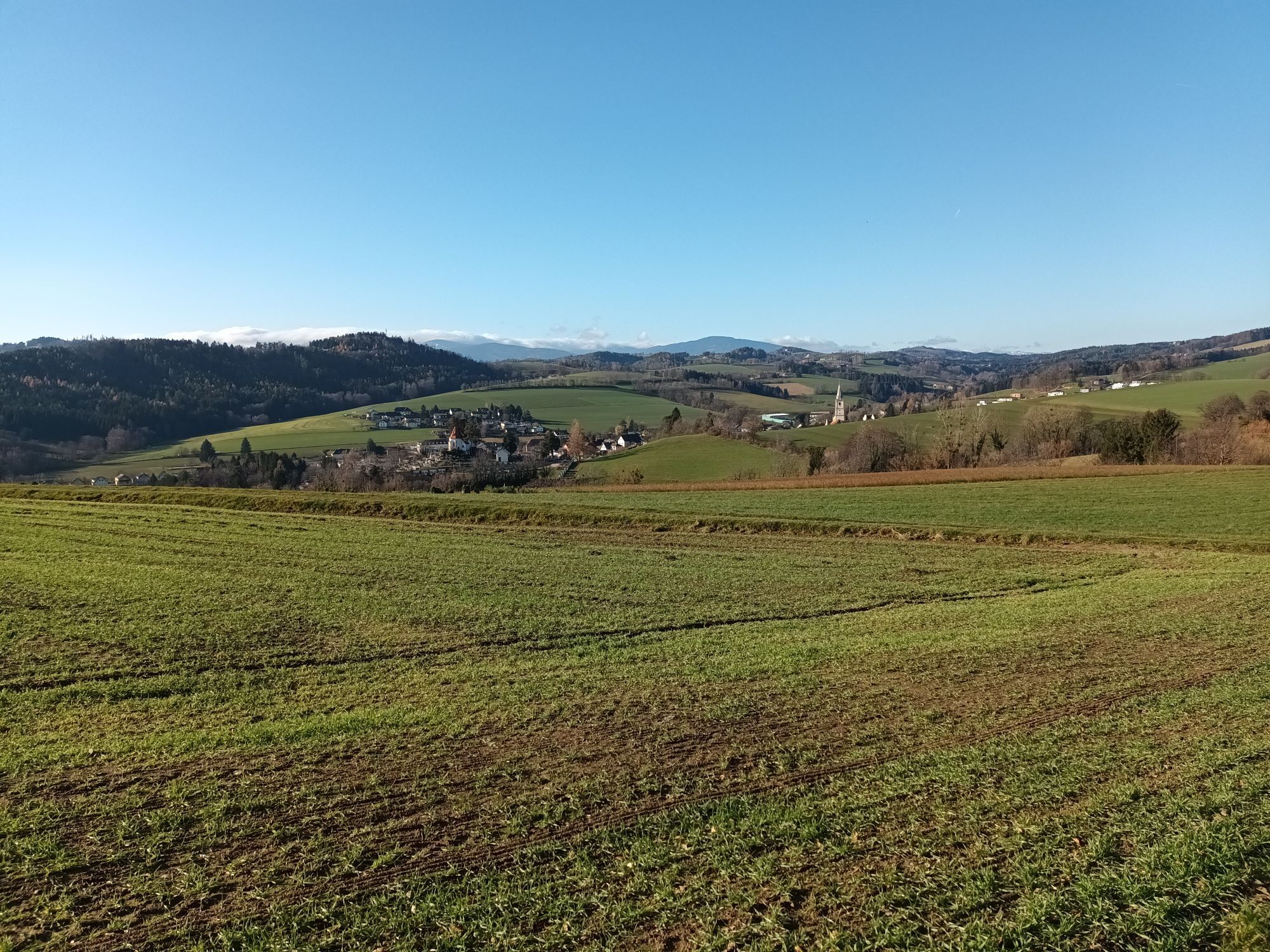
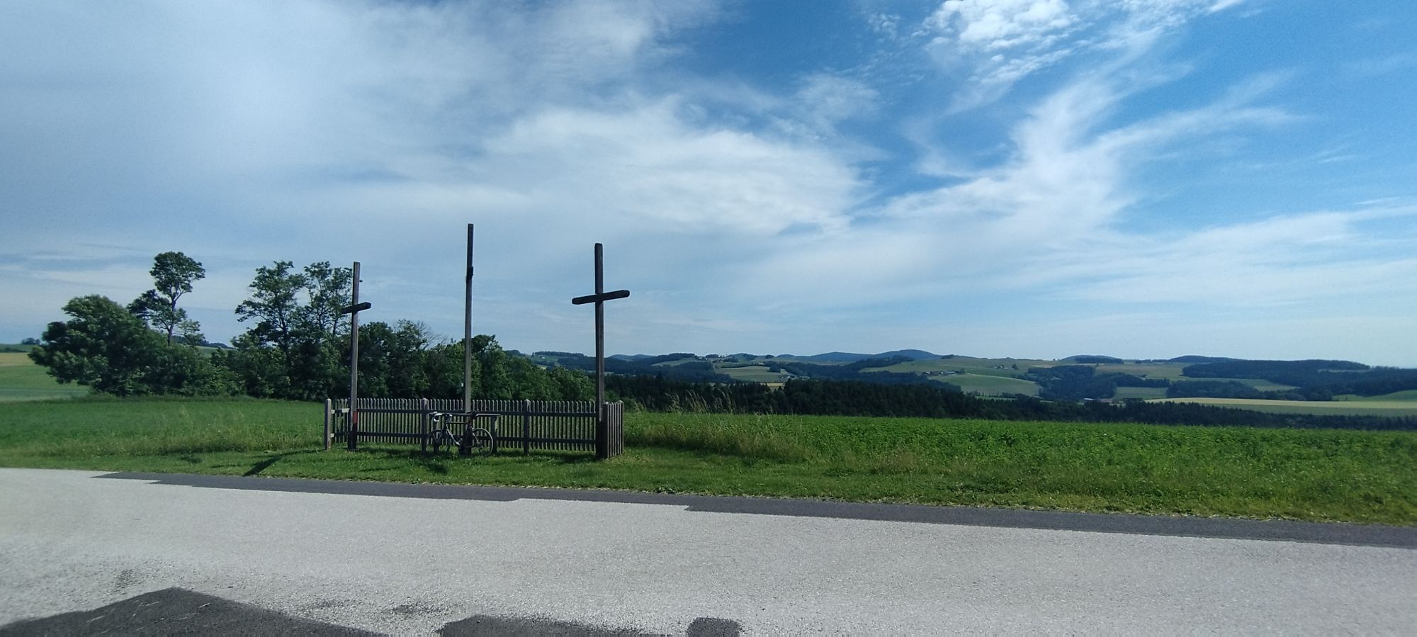
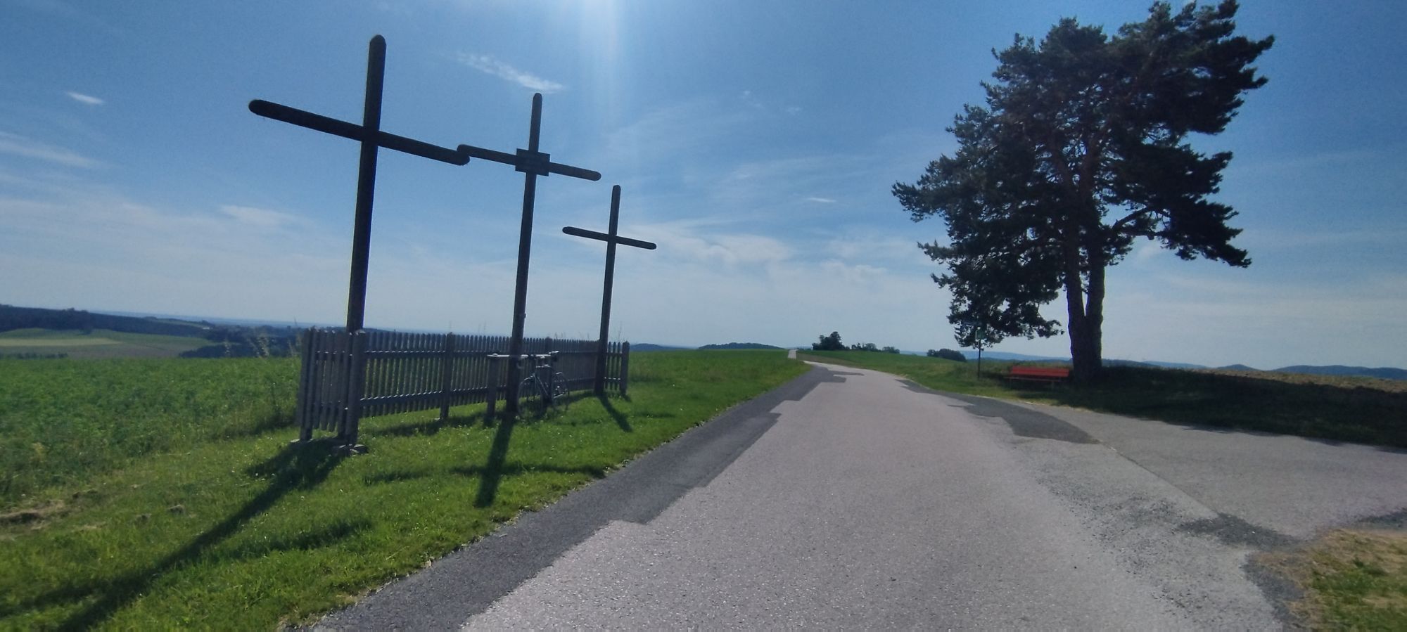
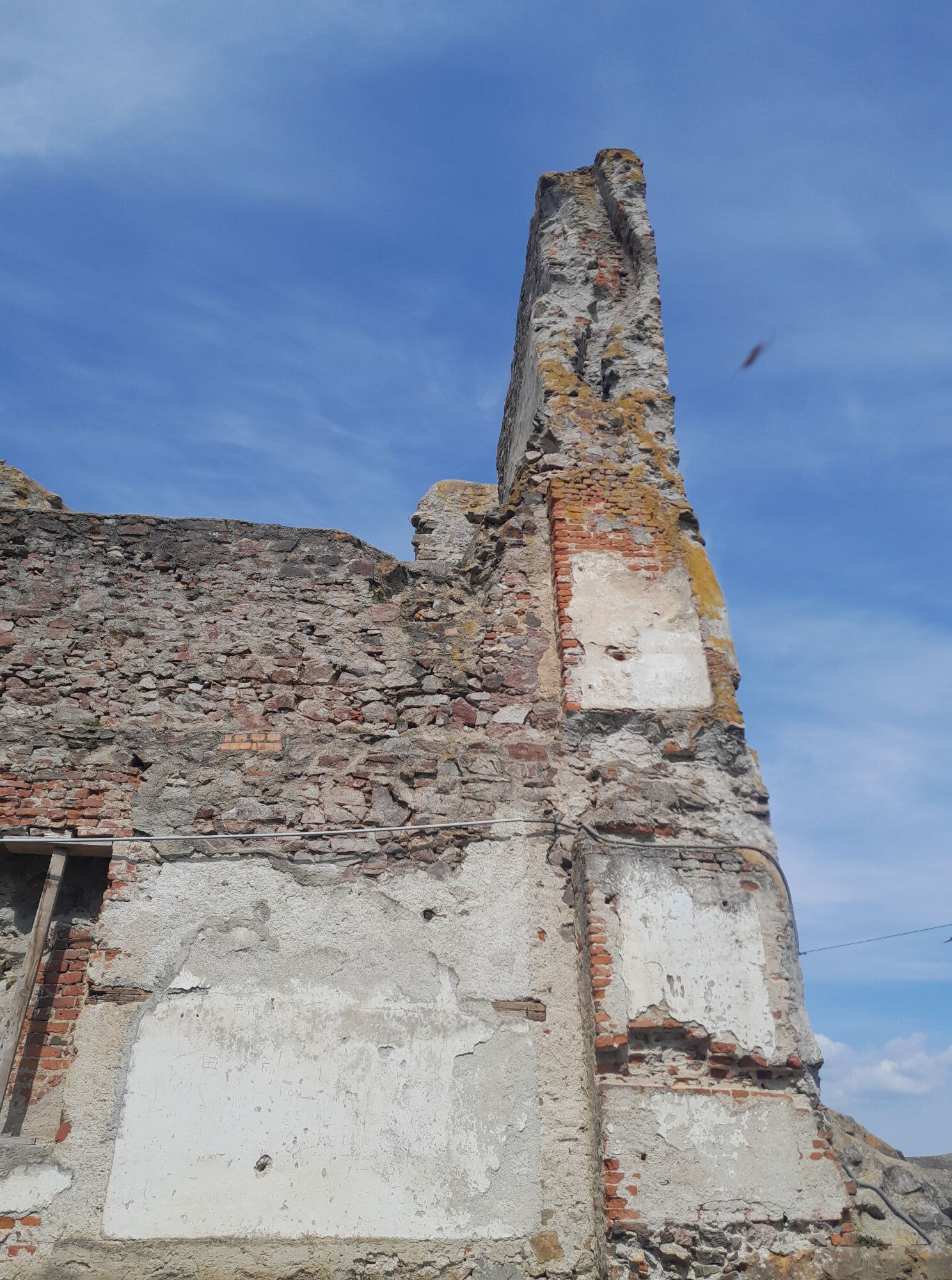

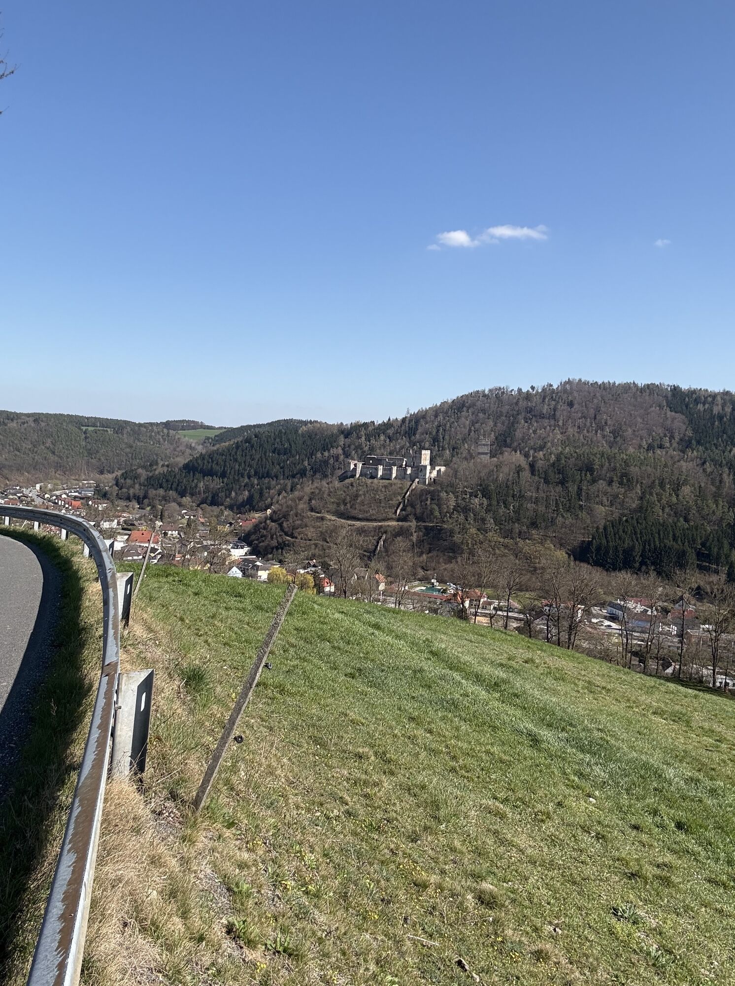
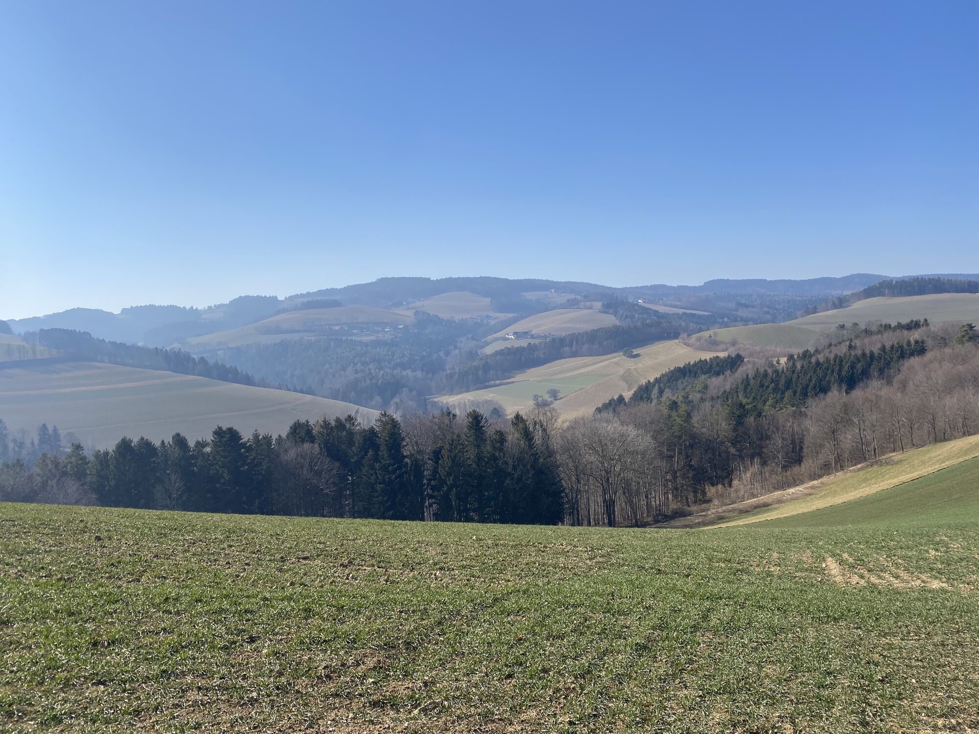
A culinary circular hike along the Trail on the Wiener Alpenbogen.
From the Hiking Hotel & Bike Professionals Krumbacherhof, the path leads to Kirchschlag in the Bucklige Welt. Here, there is the opportunity...
<p>A culinary circular hike along the Trail on the Wiener Alpenbogen. </p><p>From the <strong>Hiking Hotel & Bike Professionals Krumbacherhof</strong>, the path leads to Kirchschlag in the Bucklige Welt. Here, there is the opportunity to stop at the <strong>Hönigwirt</strong>, which will celebrate its 140th anniversary in 2024. The Hönigwirt is also suitable for a longer stop with overnight stay. The route continues to Bad Schönau. At the <strong>VitalZeit Hotel Weber</strong>, celebrating its 65th anniversary in 2024, hikers can pre-order a picnic backpack for the relaxation break in the spa park. In Ödhöfen, a stop at the widely known and innovative 3-Hauben (3 hat) restaurant <strong>Triad</strong> is recommended. There is also the possibility to buy delicious souvenirs in the farm shop. The path continues and then returns to Krumbach.</p><p>The hike can be shortened by bus.<br /><br /></p><p><strong>To really enjoy the culinary delights, it is highly recommended to stay overnight on the route.</strong> There are hotels in each of the villages, which also organize a shuttle by arrangement, more under <strong>Author’s Tip</strong>.</p>

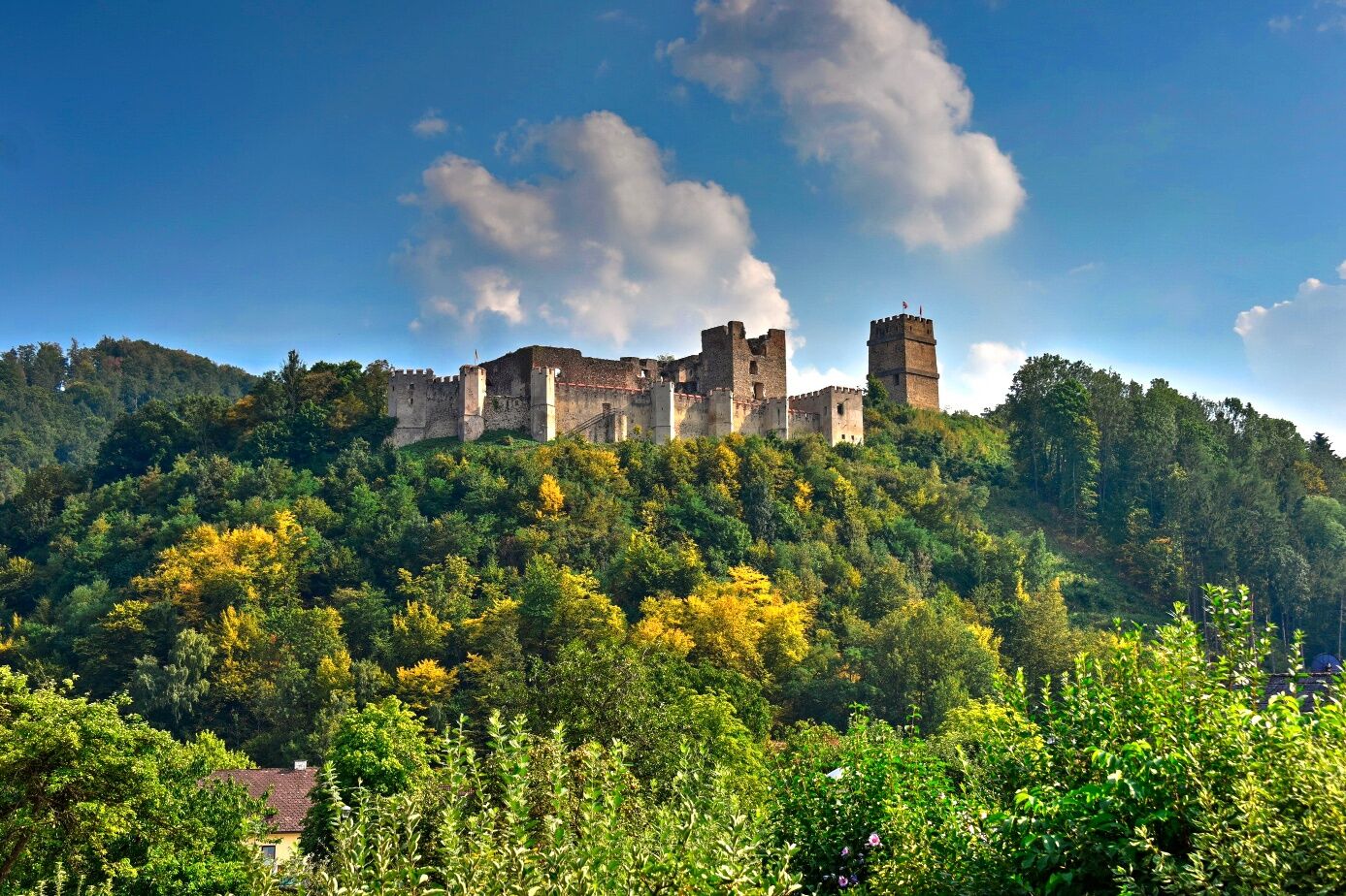
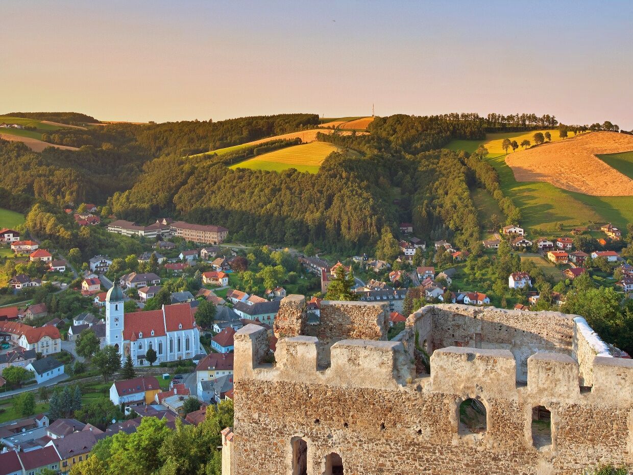
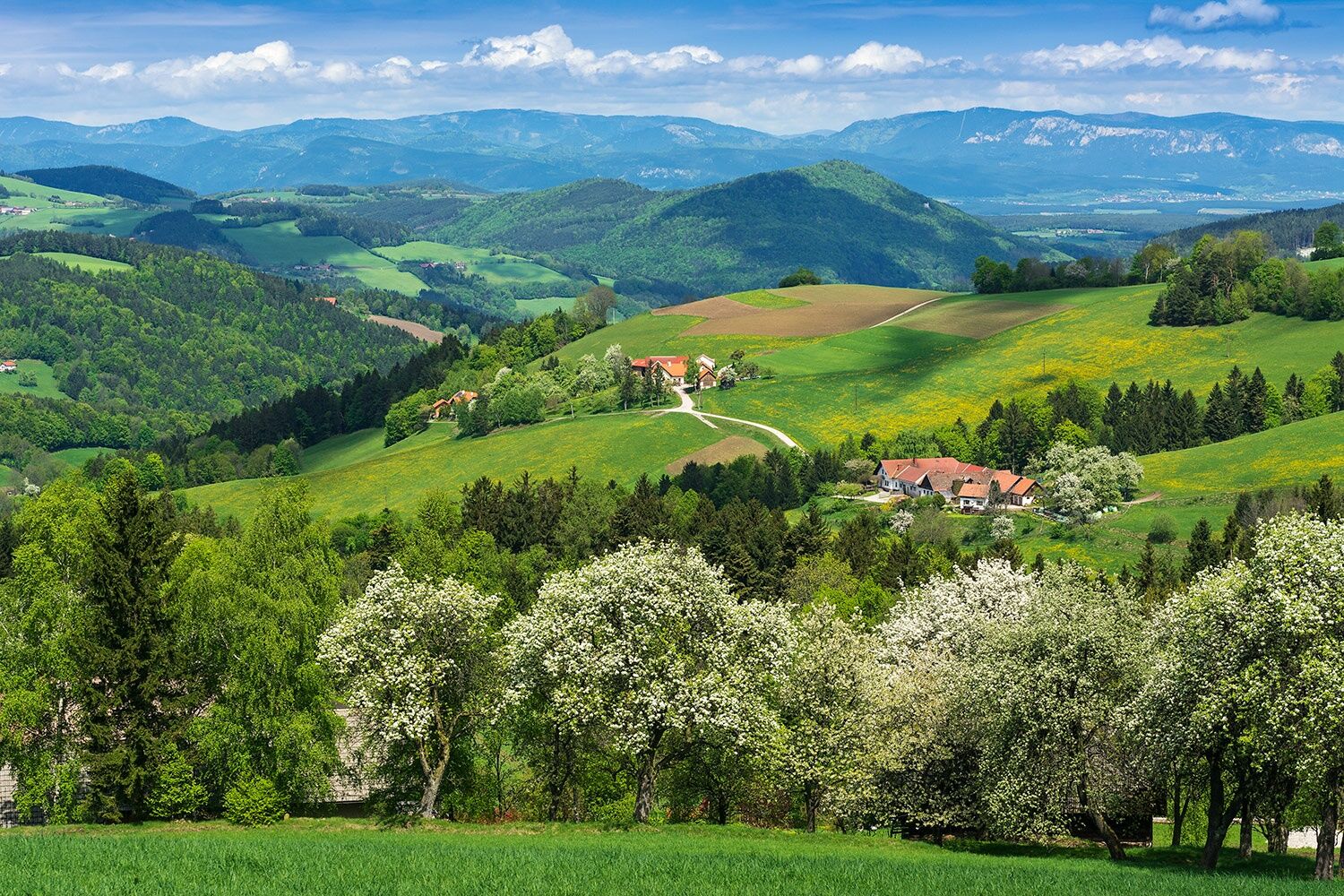

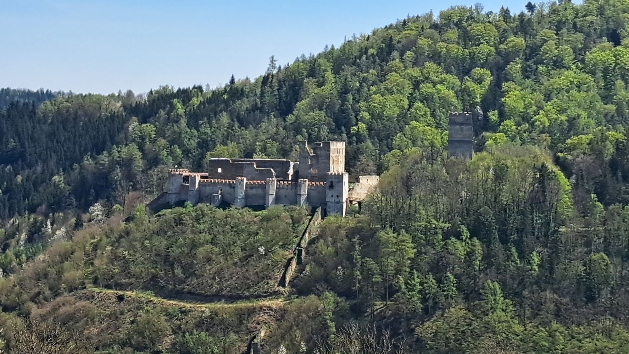
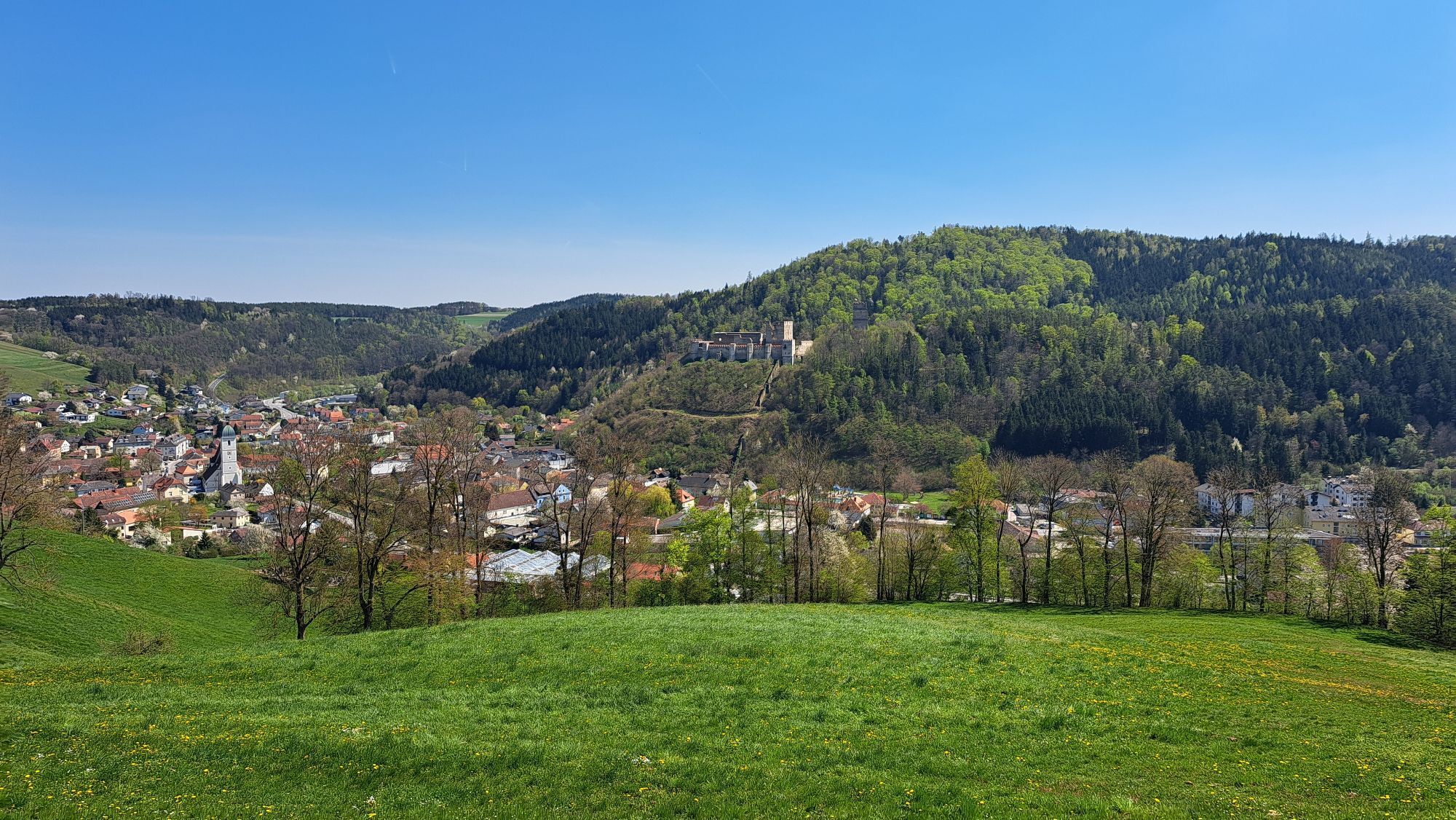
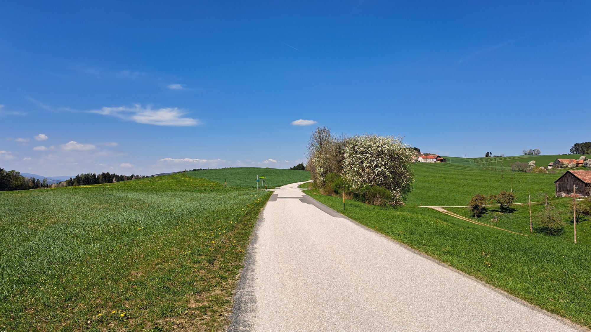
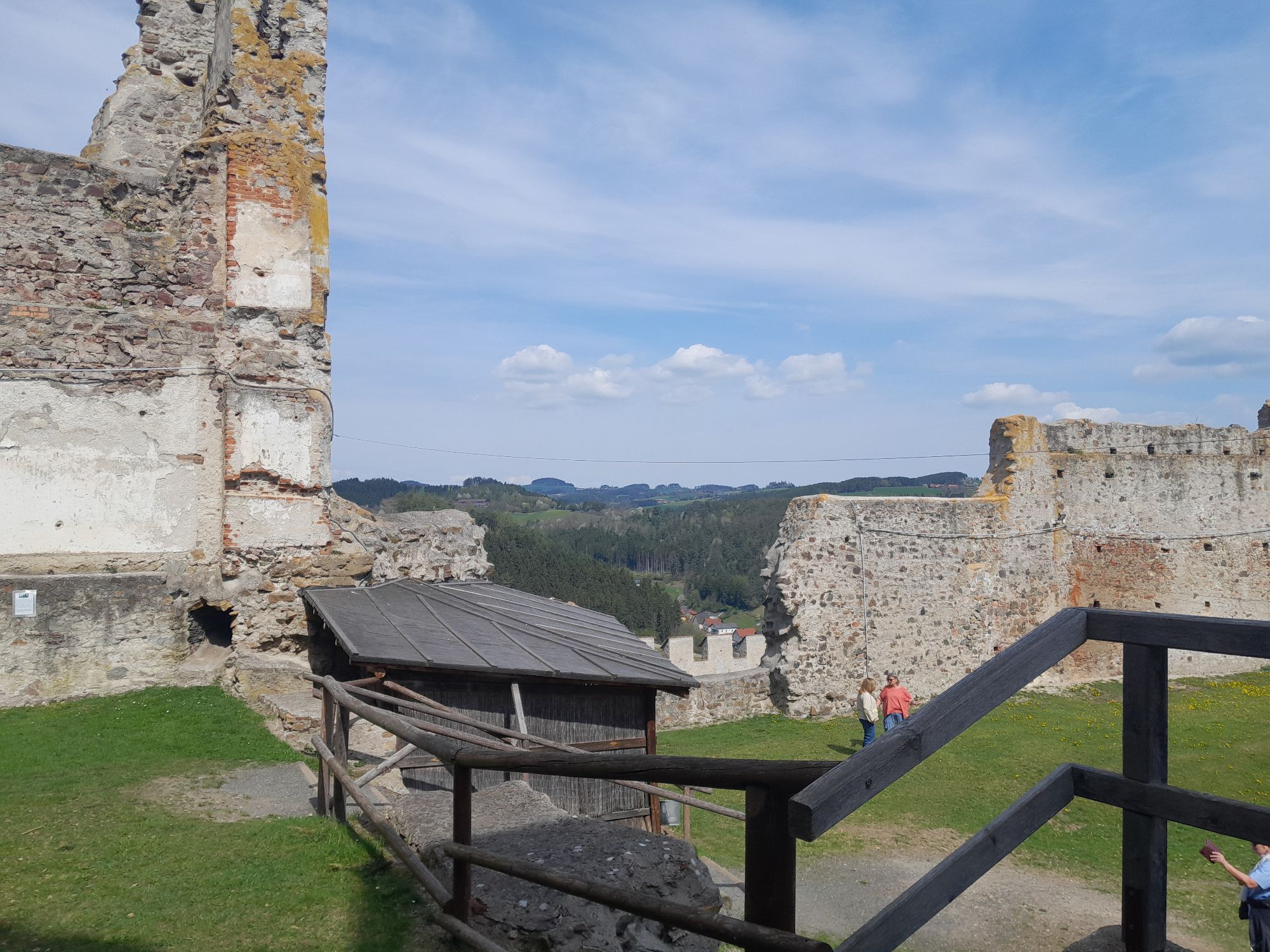
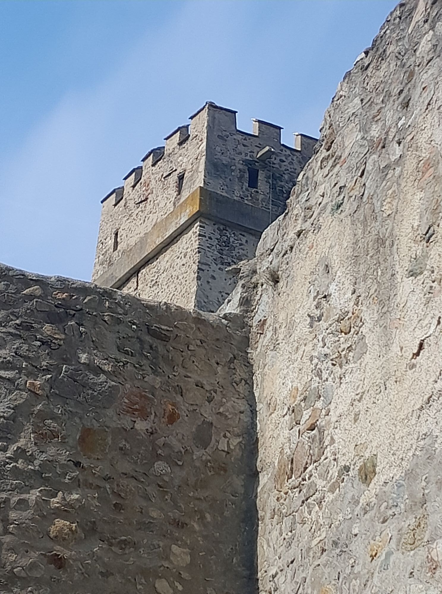
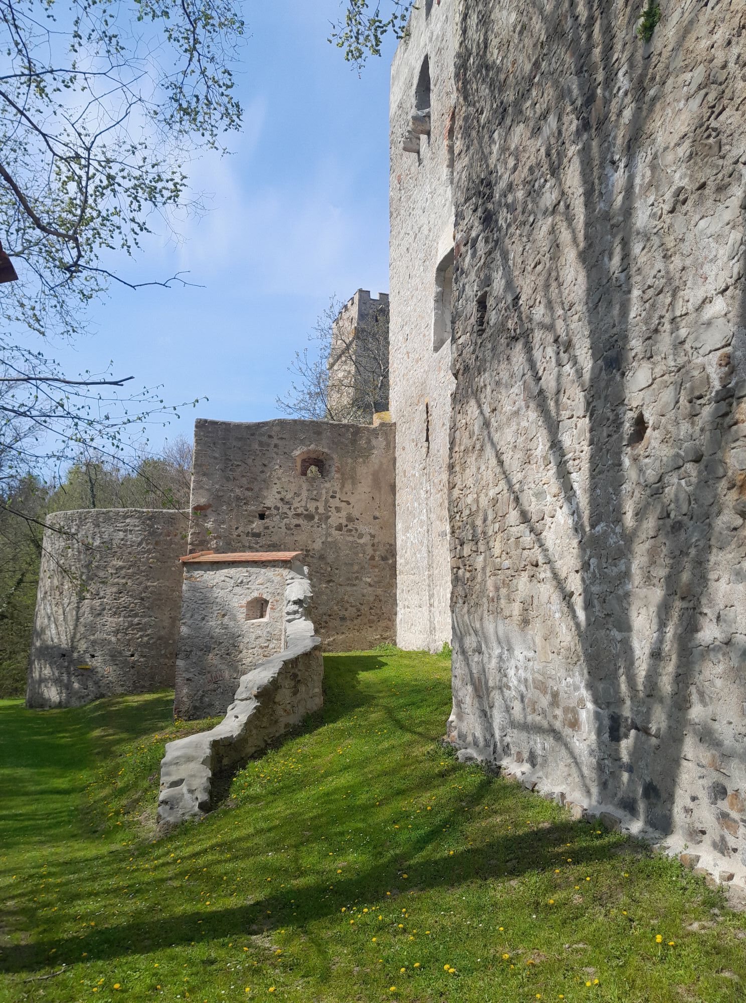
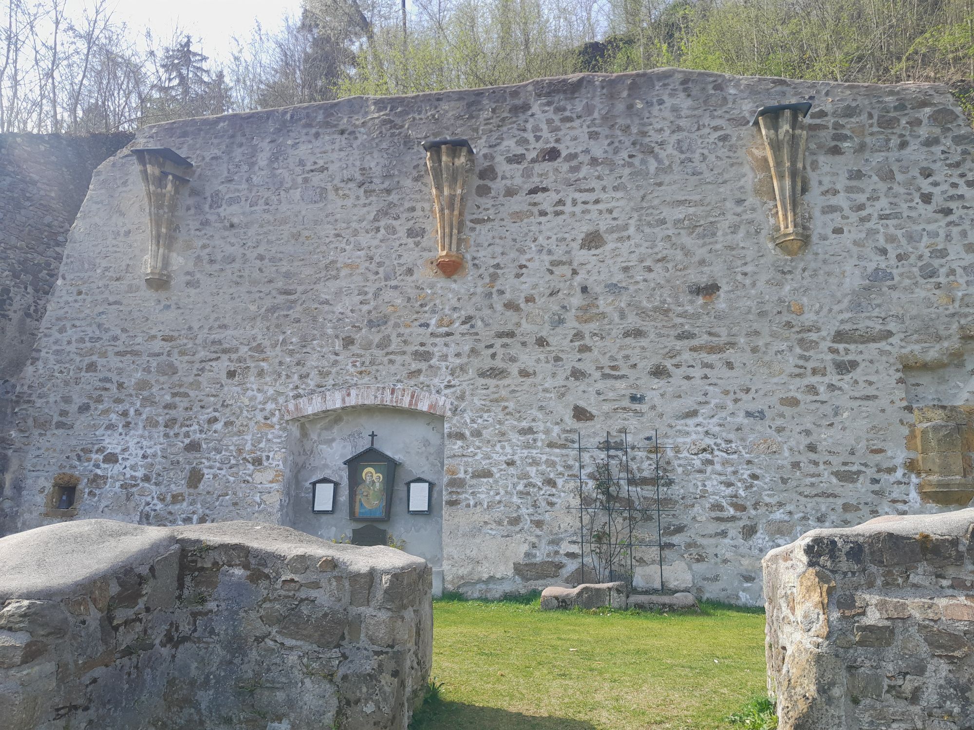
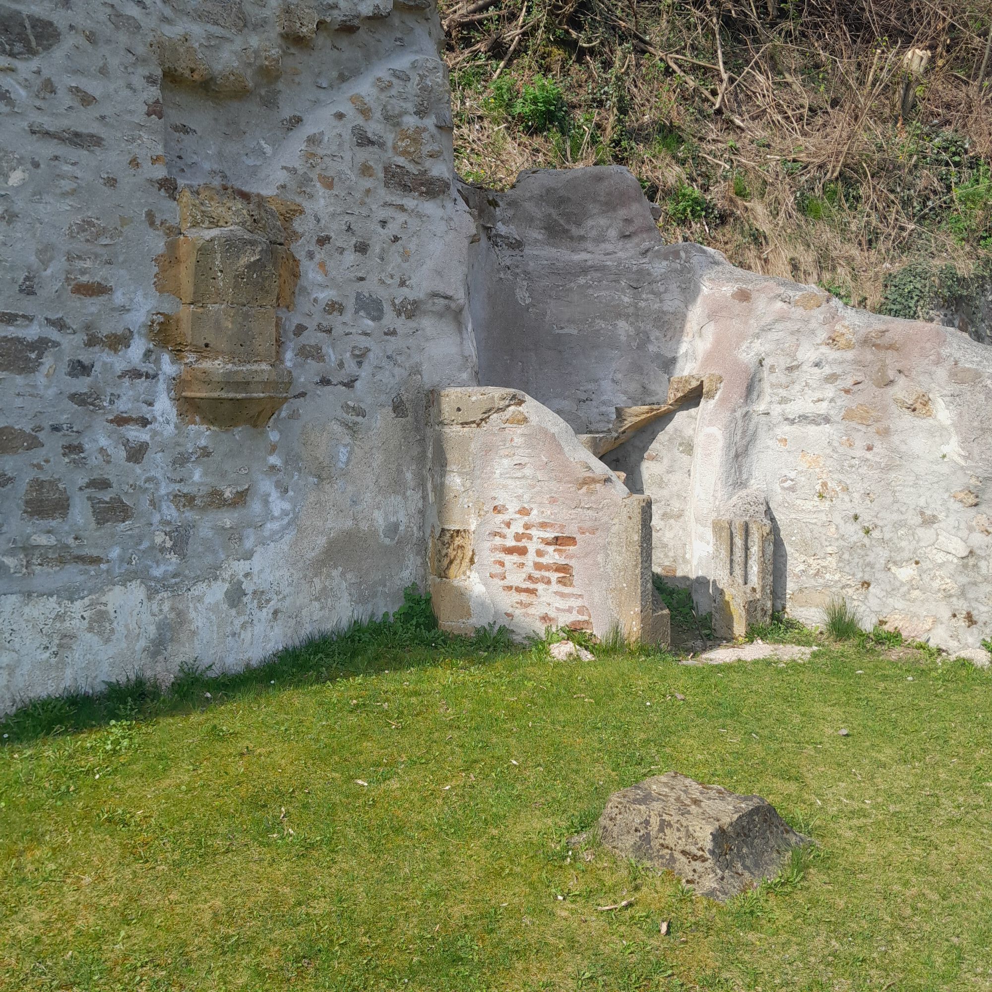
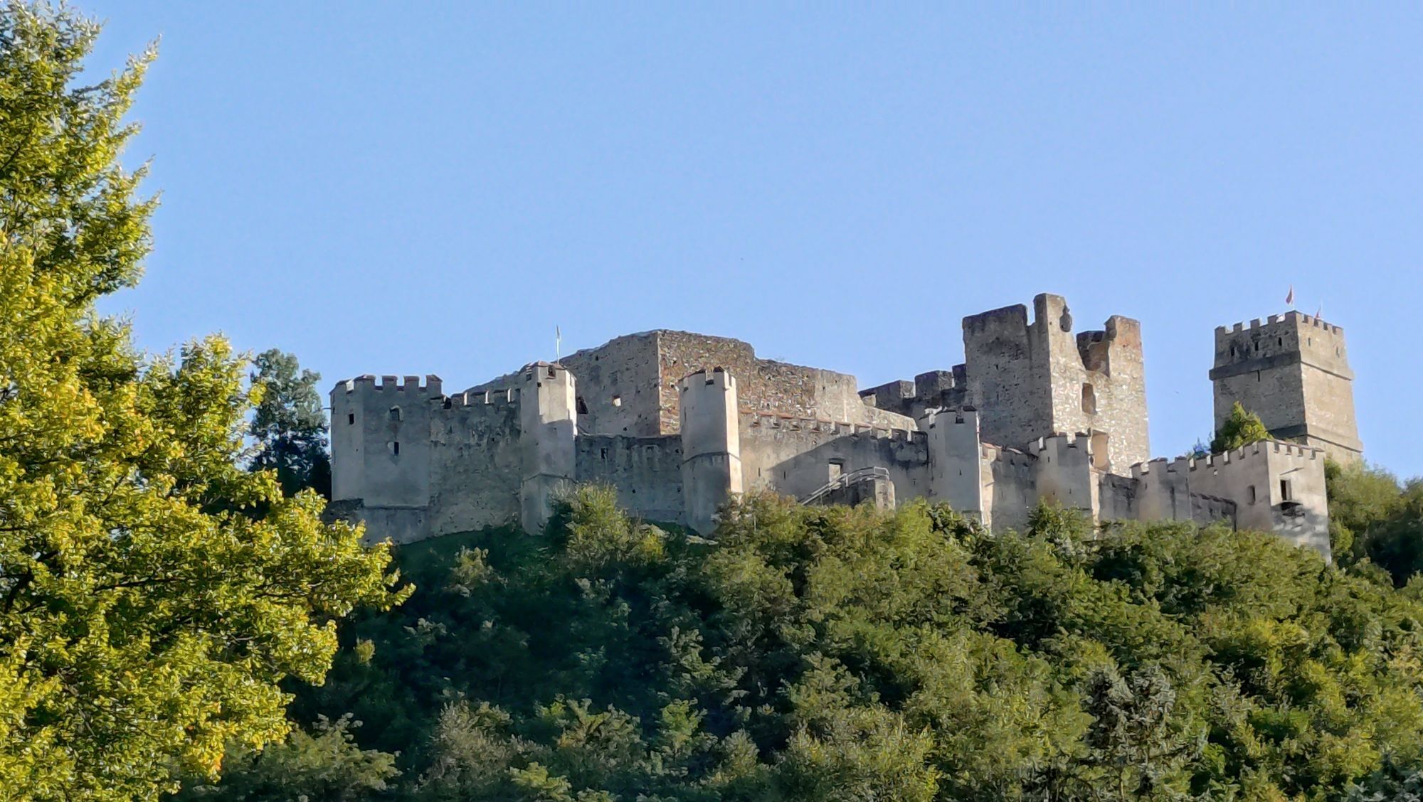
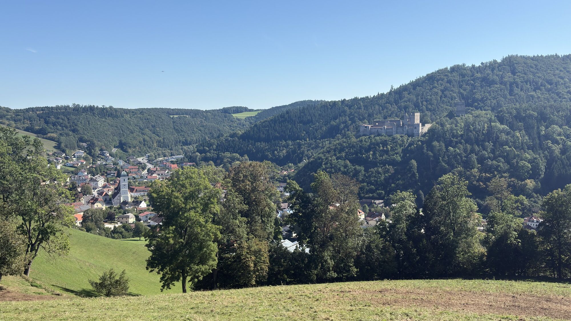
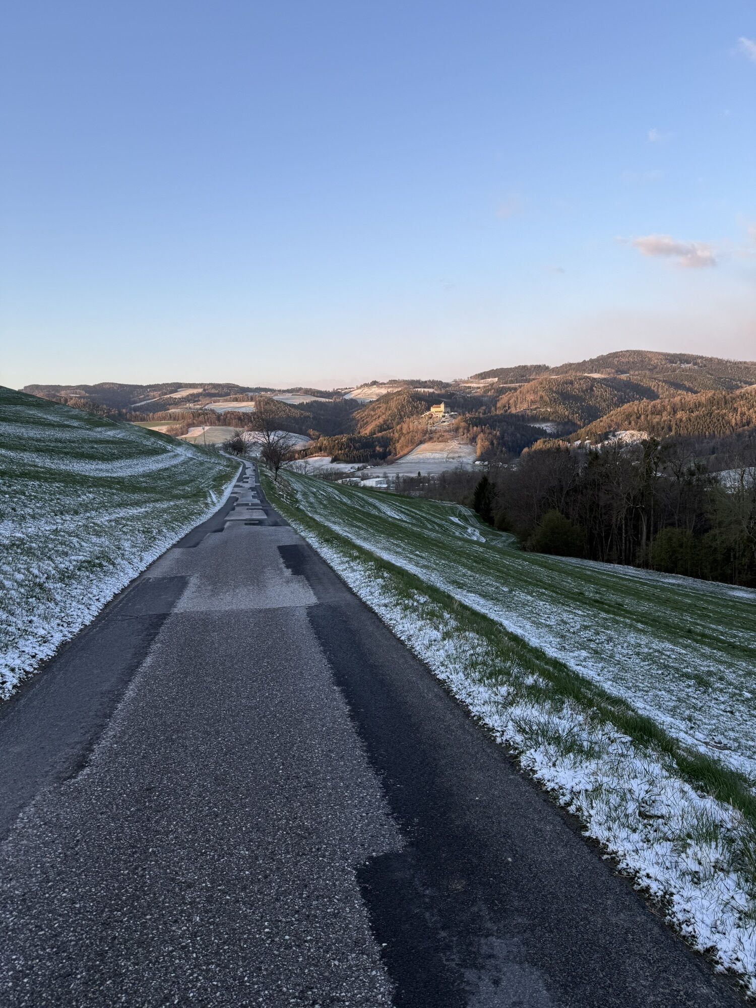
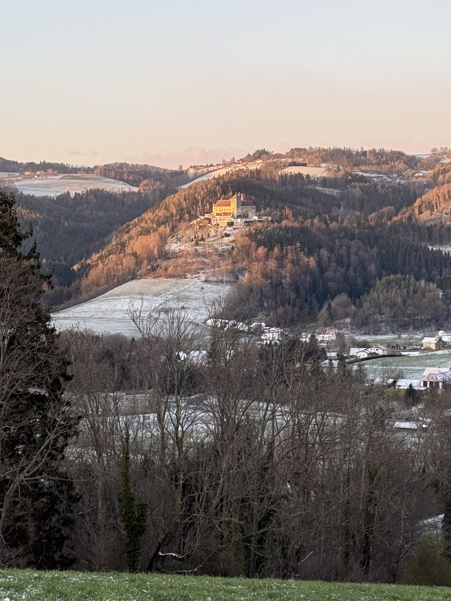
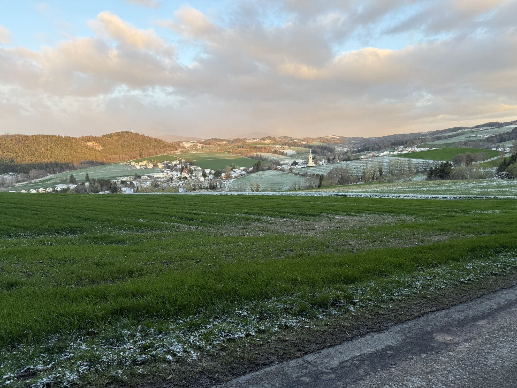
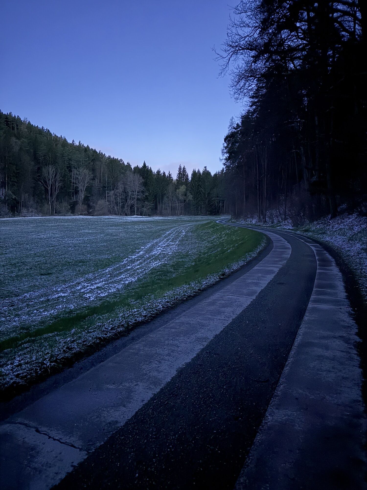
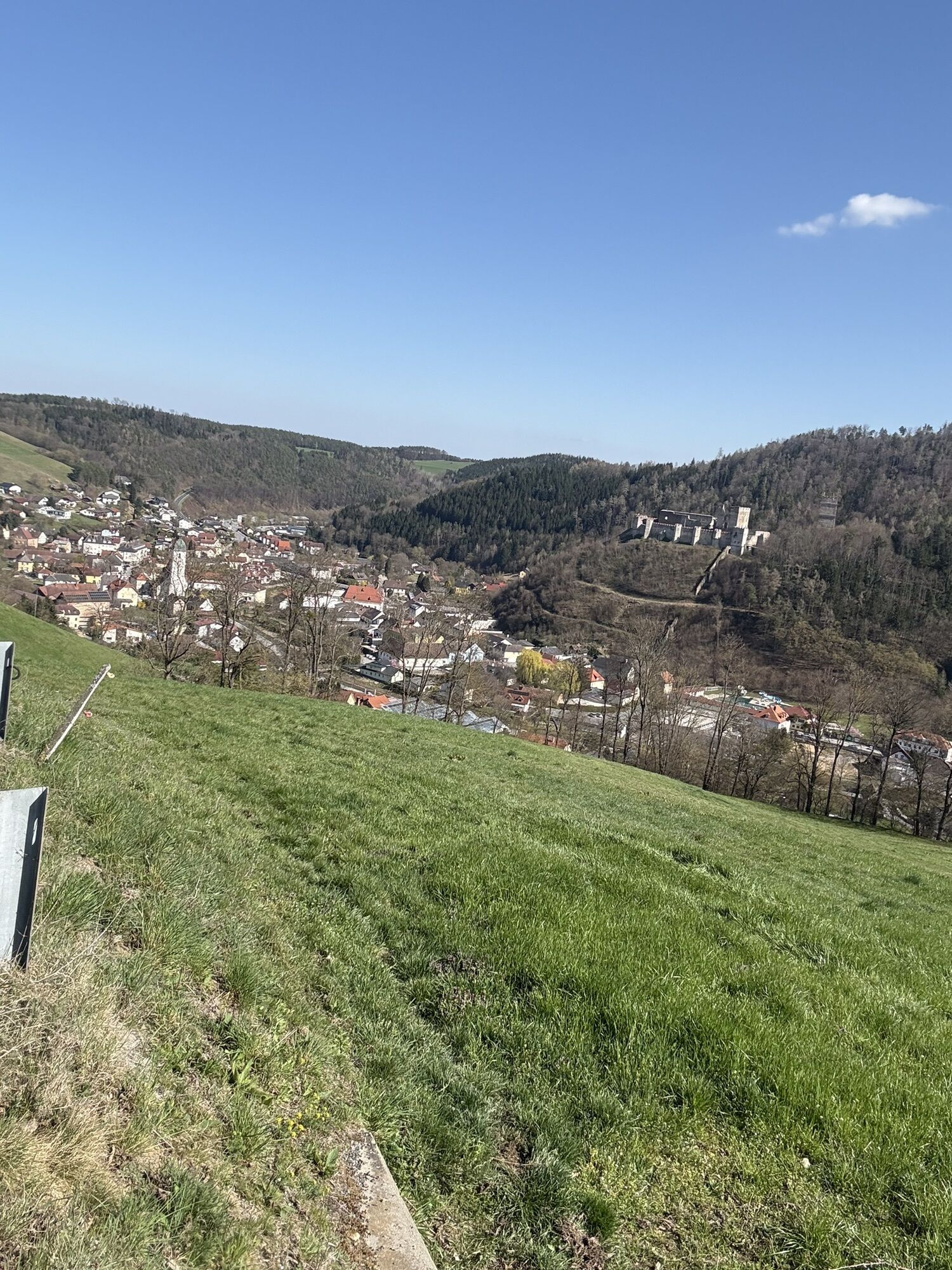
<p>After a restful night at the Krumbacherhof, start the hiking route along the Trail on the Wiener Alpenbogen and regional routes. The Regional Route C leads over the federal road and the bridge to Schrammelgasse. It gently goes uphill and then right into Marktgasse. Before the bridge to Pfarrbach, turn left onto Tiefenbachstraße toward Katzentürl. Follow the street going uphill into a right curve and soon continue on the Lindenhof farm road towards Bad Schönau. With a view of Krumbach Castle, the Rosary Chapel is reached, where you turn left onto the red-marked forest path. On narrow paths, pass the Place of Silence to the Strobl farmstead. There follows a right curve and crossing of the Tiefenbach on a wooden footbridge. At the upcoming crossroads, turn right and follow the driveway for some time. After house no. 133 and shortly after a bridge, turn left into a driveway, pass the house on the left, and continue in a right bend uphill on hiking trail D9. Only a few minutes later, after a left curve, immediately turn right and go steeply uphill. Just two minutes later, cross a forest road. The forest path soon leads into another forest road where you turn right. Leave the forest. Less than 100 meters after leaving the forest, turn right onto a field path. View of the Bacherbauer farmstead. Walk past the farmstead on the left to the road. Here, turn right and follow the panoramic road for the next hour towards Kirchschlag.</p><p>At the Passion Playhouse, cross a bridge to the road and turn left before the church into Pfarrgasse. Shortly after, turn right into Kirchengasse, where the entrance to the Rose Garden is located. Cross two bridges to the main square. Turn left and immediately after Hotel Post turn right over the parking lot (information board about the Wiener Alpenbogen). Follow this path to Bad Schönau. Walk up the sidewalk to the castle ruin. After an exploration tour, leave the ruin via the main gate over a wooden bridge. View of the mighty fire tower with the viewing platform at the top. Continue on the gravel road down to a small parking lot and hike half-left along the forest nature trail. Pass a sequoia tree, at a rest area turn right onto a cart track. Very steeply walk uphill in the ditch; it flattens a bit, and the hiking trail branches right onto a footpath. The narrow forest path leads relatively flat to a crossroads, the Wiener Alpenbogen continues uphill on the gravel road along the forest edge. Continue past a farm on the right to reach the Sechterleiten hill and a radio mast. Turn right onto the road and follow the roadside downhill for a few minutes to a forest road. Continue left towards Bad Schönau and shortly afterwards turn left again. Follow a forest road steadily downhill to the main road and cross a footbridge, then continue for a few meters along the main road. Shortly before the Kirchschlag town sign, cross the road and continue on the red-marked Seiserstraße. A few meters later turn left and hike steeply uphill on a field path. After a farmstead, continue comfortably downhill on a farm track to Maierhöfen and into the village. At house no. 11 turn left and follow the markings slightly uphill towards the chapel. Turn left again here and follow the cart track half-right to the hill. A beautiful panoramic path leads gently downhill along the forest edge to a hollow where you turn right towards Bad Schönau. After a short detour to the fortified church, hike downhill towards the center and turn into Kurhausstraße opposite Hotel Geier. There is an information point on the right.</p><p>The path on the Wiener Alpenbogen leads left of the spa through the park, but this path goes on the Regional Route D past the spa on the right and shortly afterwards turn right onto Waldgasse. Follow the pedestrian and bike path into the Zöbernbach valley, cross the Zöbernbach, and cross the federal road at Ödenhof. Hike uphill along the asphalt road to Restaurant Triad. After a refreshment, keep right at the next fork, pass the parking lot of the Golf Range, and enter the dead-end street. At the sharp right curve, follow the orange-marked hiking trail onto a meadow path. The path leads into the forest; at a left curve, follow the signpost to Krumbach. Now steadily follow the orange path uphill on the ditch-crossed forest slope, cross a ditch, and after a few minutes turn right onto a meadow path at the forest edge. The meadow path leads uphill to the Dirndlhof farmstead. Continue on the adjoining Dirndlbauer farm road to the farm in Egg, turn left onto the street, and follow the blue marking slightly downhill with views of Krumbach to the Rosary Chapel. This is already known from the first meters of this hiking tip. The same route returns via Tiefenbachstraße to Krumbach.</p>
<p>Always carry suitable <strong>maps</strong>. Wear sturdy <strong>shoes</strong> suitable for the route, bring sun and rain protection as well as water and a snack. Take your <strong>mobile phone</strong> with you and save the mountain rescue emergency number: 140</p><p>More tips on equipment:</p><p>www.wieneralpen.at/sei-gut-drauf-komm-gut-runter</p>
<p>Your hikes in the Wiener Alpen should be an all-around beautiful and safe experience. We have summarized the most important notes here:</p><p><a href="www.wieneralpen.at/sei-gut-drauf-komm... also note the following:</p><p><strong>Preparation </strong></p><p>Make sure the chosen route matches your mountain experience and <strong>fitness</strong>. Check the <strong>weather forecast</strong> beforehand. Weather in the mountains can change unexpectedly fast. Therefore, always start equipped accordingly (e.g., rain protection).</p><p>Check if the <strong>huts and snack stations</strong> you want to visit along the way are open. <strong>Inform</strong> someone about your chosen route and planned return before setting off.</p>
<p>Coming from Vienna, take the A2 to the Krumbach exit and follow B55 to Krumbach. Coming from Graz, take the Aspang exit, continue on L137 to Zöbern, left towards Kampichl on L137, and switch to B55 at Unterhaus.</p>
<p>By train to Edlitz-Grimmenstein station, then by regional bus to Krumbach.</p><p>Daily direct bus connection from Vienna.</p><p>More information can be found at <a href="fahrplan.oebb.at/bin/query.exe/dn&quo... or at <a href="anachb.vor.at/">anachb.vor.at...
<p>Parking spaces available at Krumbacherhof.</p>
Wiener Alpen in Lower Austria, www.wieneralpen.at, +43 2622 78960
Opening hours: Mon - Thu 08:30 - 16:00 / Fri 08:30 - 13:00
The route can also be split over two days: hike to Kirchschlag, take the bus back to Krumbacherhof, the next day take the bus to Kirchschlag and continue the route. Krumbacherhof offers a shuttle service by arrangement.
Alternatively, there are also accommodation options in Kirchschlag or Bad Schönau.
Excursion destinations:
Castle ruin with fire tower Kirchschlag
Rose Garden Kirchschlag
City Museum Kirchschlag
Fortified Church Bad Schönau
Sconarium Bad Schönau
Kurpark Bad Schönau
Museum Village Krumbach
Kamery internetowe z trasy
Uzyskaj wgląd
Zawsze na żywo z ponad 9 500 kamer internetowych. bergfex Jako użytkownik Pro, możesz teraz zobaczyć odpowiednie kamery internetowe dla wielu wycieczek w aplikacji wycieczki od. Pozwala to na bezpośredni podgląd aktualnych warunków.
Popularne wycieczki w okolicy
-
4,1
"Weg der Blicke"
światłoWędrówka 5,86 km -
4,4
Bad Schönau - Hutwisch
światłoWędrówka 9,99 km -
4,4
B53 Edelserpentin
średniJazda na rowerze 23,5 km -
4,8
Bakabu children's adventure trail to Hutwisch
średniTrasa tematyczna 5,42 km -
4,4
BAD-SCHÖNAU Hutwisch und wieder zurück 20220611
średniWędrówka 10,8 km -
2,9
Sonnenland Draisinentour
światłoJazda na rowerze 23,0 km -
4,8
B41 Zöberntal-Rabnitztal cycle trail
średniJazda na rowerze 40,7 km -
5,0
Geschriebenstein Roas
ciężkiWędrówka 55,3 km -
4,5
Glasgraben route
średniWędrówka 12,9 km -
3,0
R1 anniversary cycle path
ciężkiKolarstwo długodystansowe 272,3 km
Wędrówki i tropienie


Nie przegap ofert i inspiracji na następne wakacje
Twój adres e-mail została dodana do listy mailingowej.





