






Great Leitenviertel Path
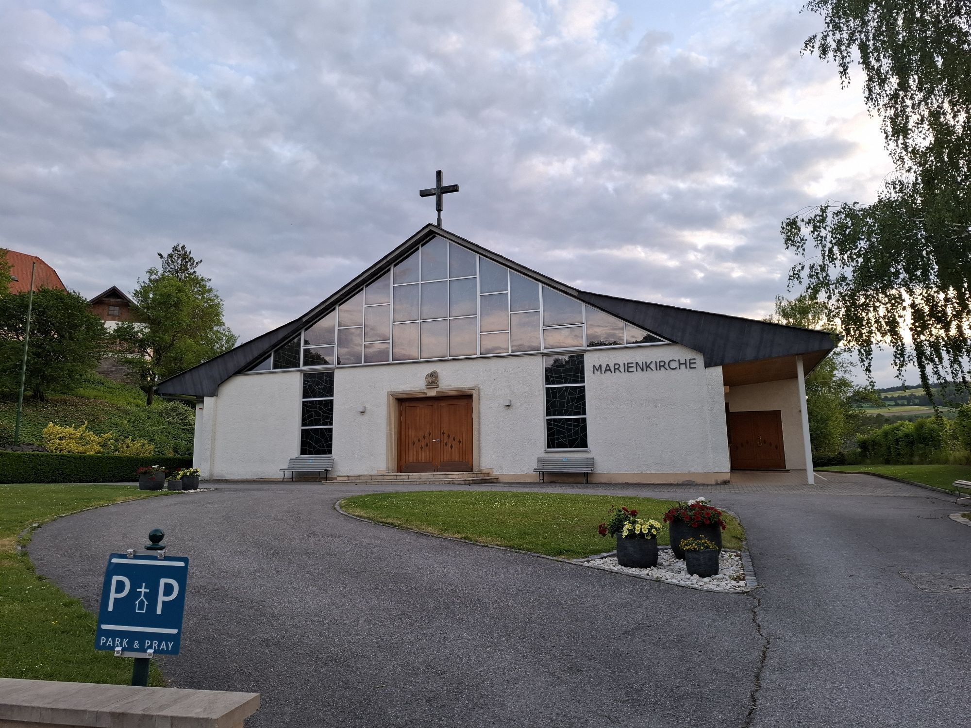
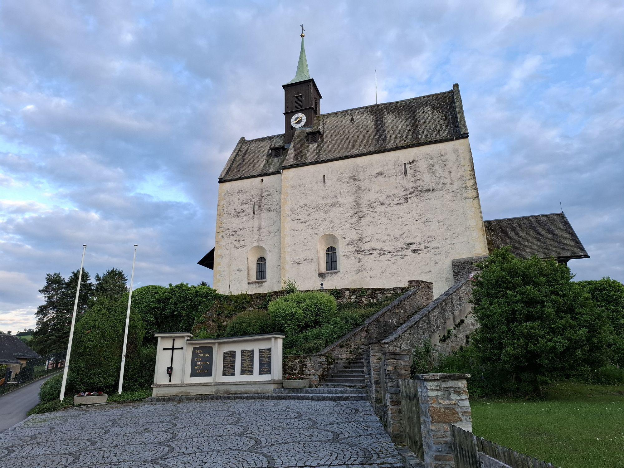
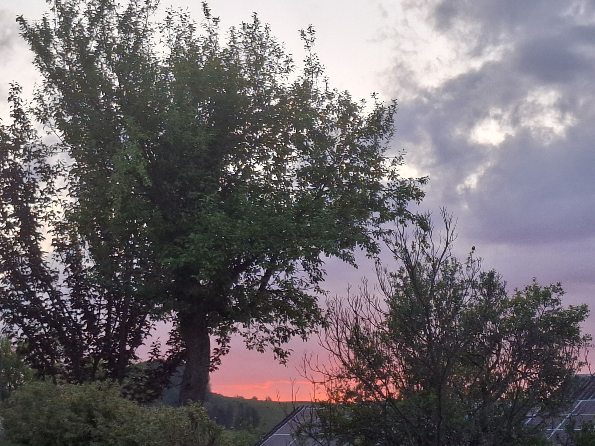
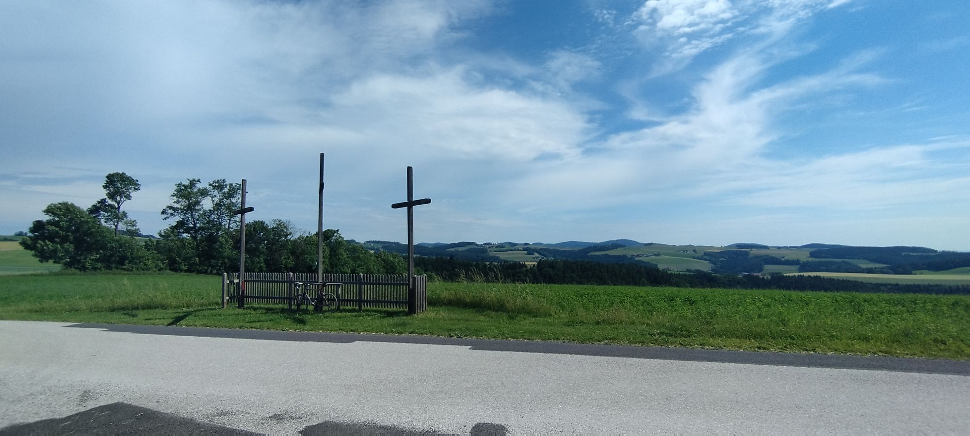
Anyone who wants to explore the beautiful landscape of the Bucklige Welt is right in Bad Schönau. Here there is not only an extensive spa offer, but also numerous hiking trails to explore. You can take...
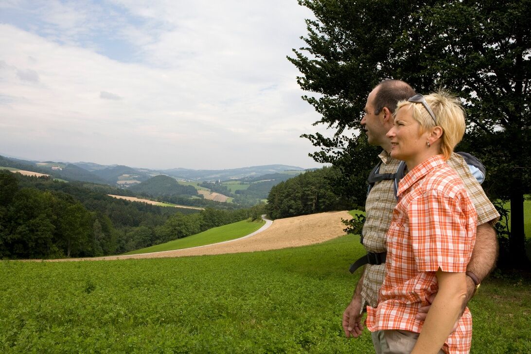
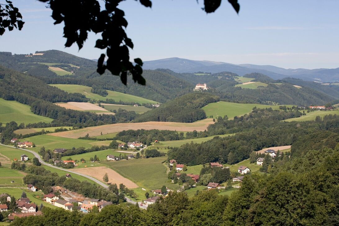
<p>Anyone who wants to explore the beautiful landscape of the Bucklige Welt is right in Bad Schönau. Here there is not only an extensive spa offer, but also numerous hiking trails to explore. You can take a break from everyday life, forget worries and stress, and simply enjoy nature. Hiking maps of Bad Schönau are available at the municipal office or in the spa businesses. East of the Bad Schönau town center lies the Leitenviertel, which can be explored on a circular route in less than two hours. The path is mostly flat and does not require above-average fitness. First, you listen to the babbling of the Zöbernbach, then hike moderately uphill and recover in the fresh air. Via the Maierhöferstraße you return to the town, where numerous places to eat await and you can take another stroll through the spa park.</p>


<p>From the village square, turn left onto the main road heading towards the federal road. Before the federal road, turn right and first walk along the Zöbernbach. After about 500 meters, turn right into the forest to moderately ascend to the Tannheiß. Following the path straight ahead, you reach a paved forest road, which you follow to the right. In the curves, the path soon descends from the height again and at Wagenhofer you reach Maierhöfnerstraße. Follow this back into the village. Turn right onto the main road to return to the village square.</p>
<p>Always carry suitable <strong>maps</strong>. Wear sturdy <strong>shoes</strong> adapted to the route, bring sun and rain protection as well as water and a snack. Take your <strong>mobile phone</strong> with you and save the mountain rescue emergency number: 140</p>
<p>Your hikes in the Vienna Alps should be a completely enjoyable and safe experience. Please therefore observe the following:</p><p><strong>Preparation</strong></p><p>Make sure when choosing the route that it matches your experience and <strong>fitness</strong>. Check the <strong>weather forecast</strong> in advance. Weather in the mountains can change surprisingly quickly. Therefore, always set out properly equipped (e.g., rain protection).</p><p>Check if the <strong>huts and snack stations</strong> you want to visit along the way are open. <strong>Inform</strong> someone about your route choice and planned return before you set out.</p><p>More safety tips for your hike can be found <a href="www.wieneralpen.at/sicherheit-am-berg...
<p><strong>From Vienna</strong>: Take the South Motorway A2, exit Krumbach. At exit 76-Krumbach, drive towards Krumbach/Hungary and continue via the Krumbach junction onto the B55. In Bad Schönau, turn right onto the main road. Turn right onto Kurhausstraße.</p><p><strong>From Graz</strong>: Take the South Motorway A2, exit Aspang-Zöbern. Turn right onto L137. Follow the road. Turn right onto Kirchschlager Str./B55. In Bad Schönau, turn right onto the main road. Turn right onto Kurhausstraße.</p>
More information at <a href="www.oebb.at">www.oebb.at</... and <a href="www.vor.at">www.vor.at</a&...
<p>Parking is available at the village square.</p>
Vienna Alps in Lower Austria, www.wieneralpen.at, +43 / 2622 / 78960
Opening hours: Mon - Thu 08:30 - 16:00 / Fri 08:30 - 13:00
If you want to combine your hike with a stay in Bad Schönau, the VitalZeit Hotel Weber or the Gesundheitshotel Königsberg are the right places!
Kamery internetowe z trasy
Uzyskaj wgląd
Zawsze na żywo z ponad 9 500 kamer internetowych. bergfex Jako użytkownik Pro, możesz teraz zobaczyć odpowiednie kamery internetowe dla wielu wycieczek w aplikacji wycieczki od. Pozwala to na bezpośredni podgląd aktualnych warunków.

Popularne wycieczki w okolicy
-
4,1
"Weg der Blicke"
światłoWędrówka 5,86 km -
4,4
Bad Schönau - Hutwisch
światłoWędrówka 9,99 km -
4,4
B53 Edelserpentin
średniJazda na rowerze 23,5 km -
4,4
BAD-SCHÖNAU Hutwisch und wieder zurück 20220611
średniWędrówka 10,8 km -
4,8
Bakabu children's adventure trail to Hutwisch
średniTrasa tematyczna 5,42 km -
4,8
B41 Zöberntal-Rabnitztal cycle trail
średniJazda na rowerze 40,7 km -
2,5
Route planned on April 16, 2014
średniWędrówka 25,8 km -
3,7
Willersdorf - Willersdorfer Schlucht - Kreuzberg - Aschau im Burgenland
średniWędrówka 9,41 km -
5,0
Zöbernbach Radweg
średniJazda na rowerze 28,5 km -
5,0
Winter hiking on the Path of Views in Bad Schönau
średniWędrówka zimą 6,21 km
Wędrówki i tropienie


Nie przegap ofert i inspiracji na następne wakacje
Twój adres e-mail została dodana do listy mailingowej.





