







"Tut Gut!" - Hiking trail Puchberg am Schneeberg Route 3
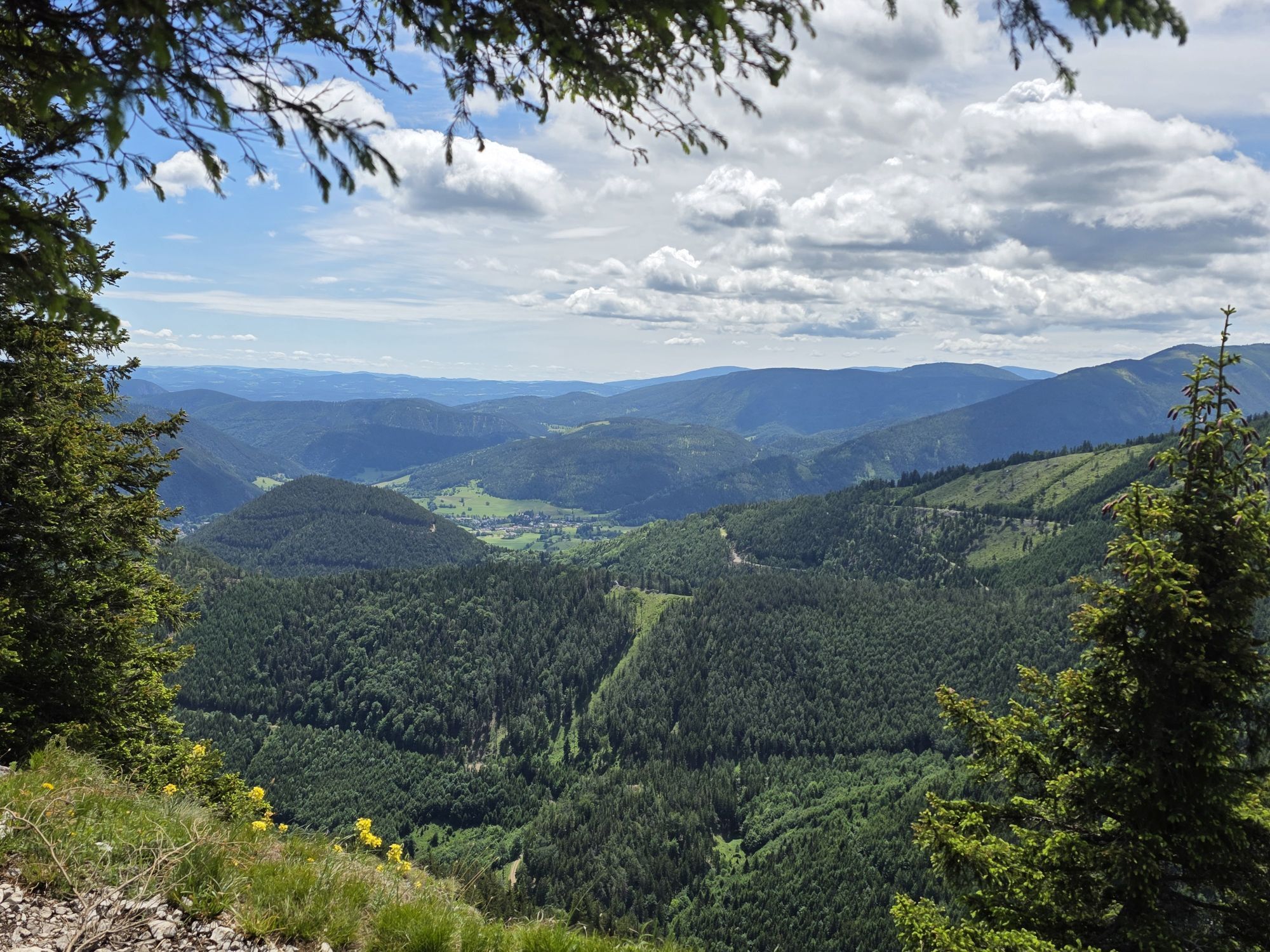
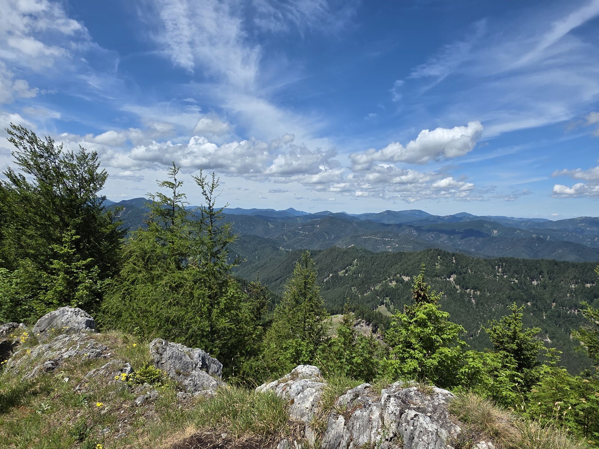
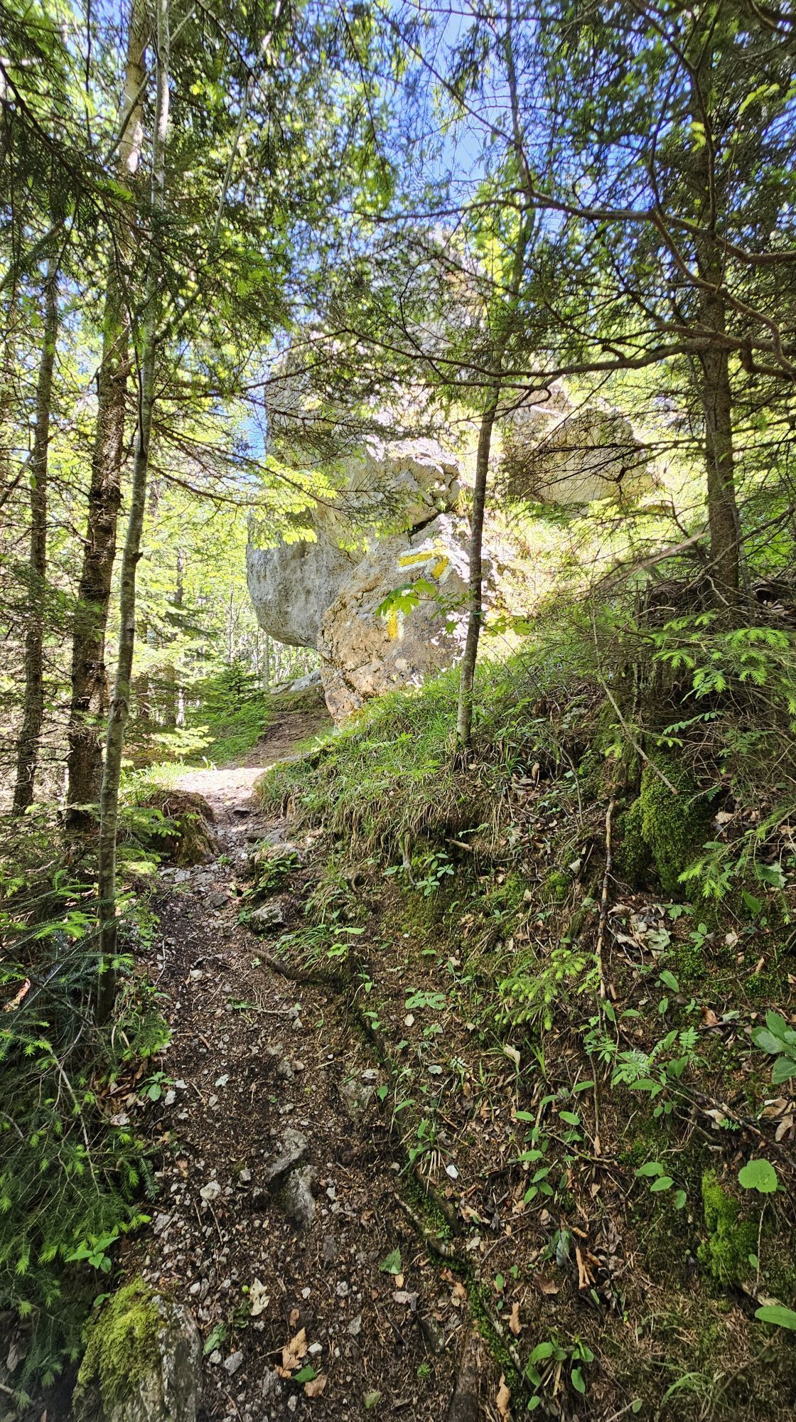
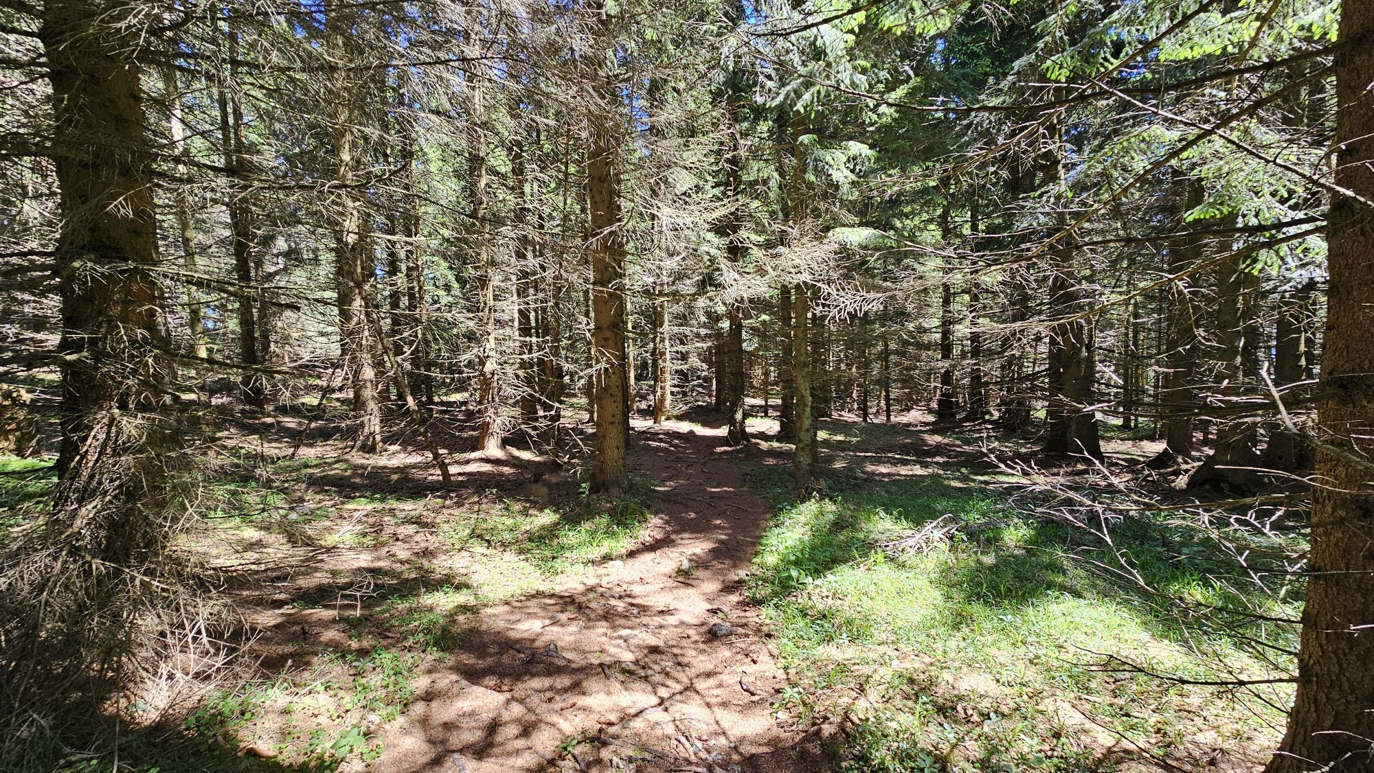
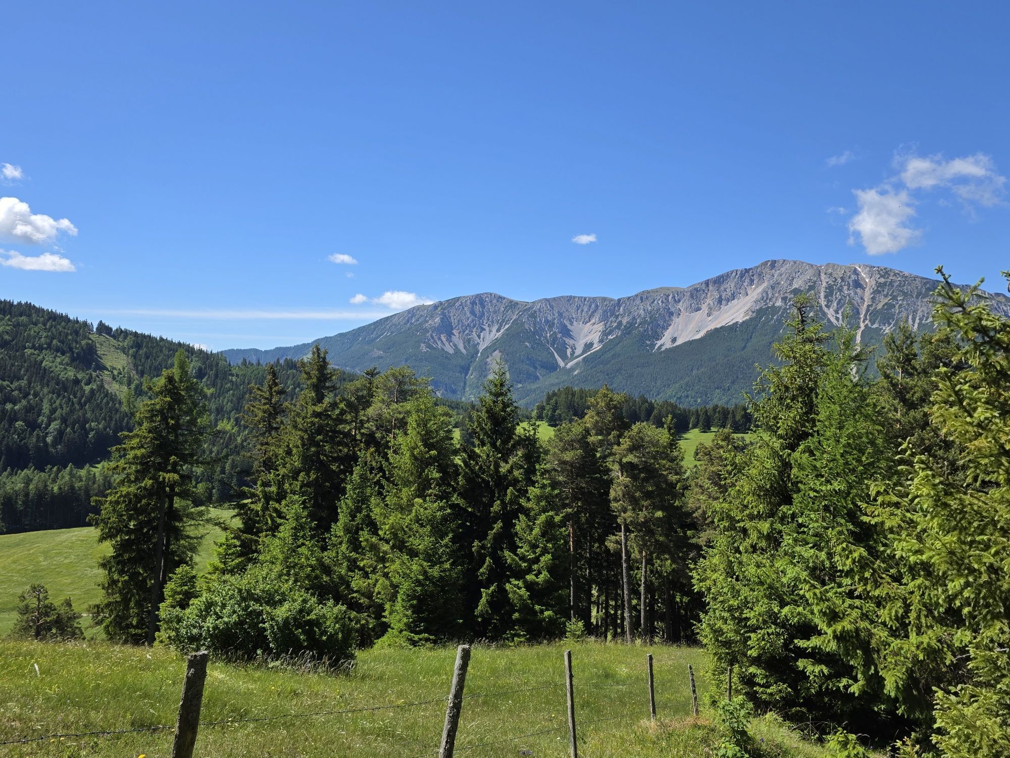
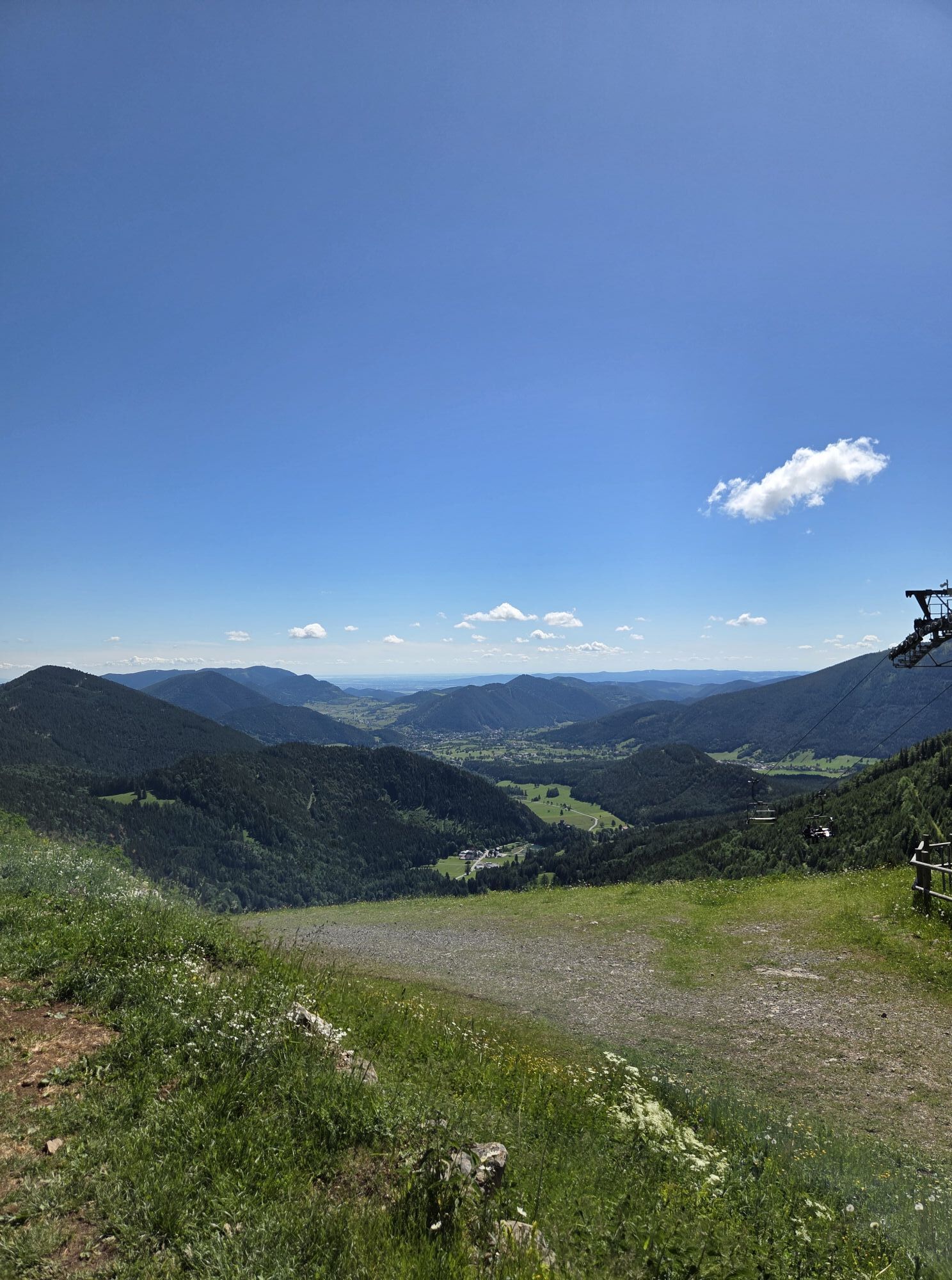
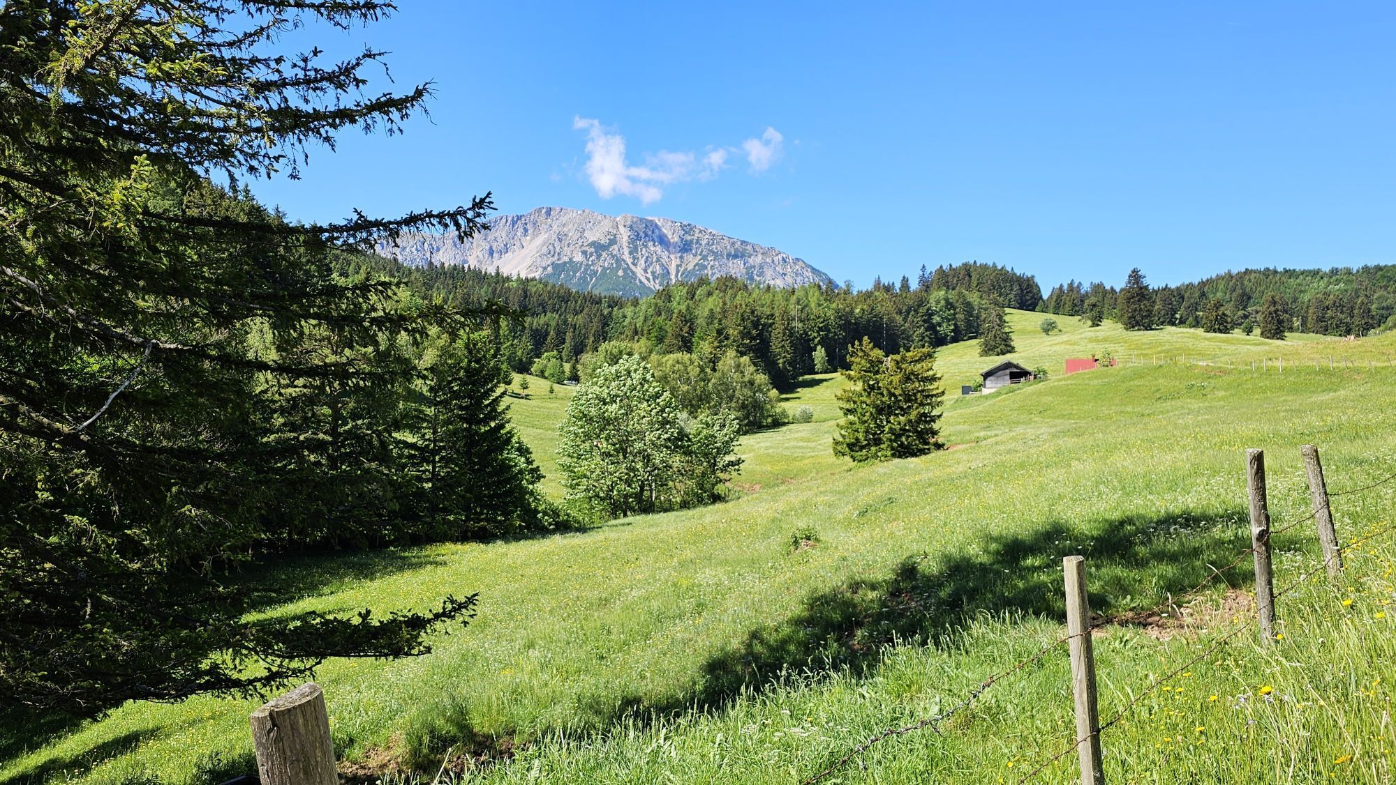
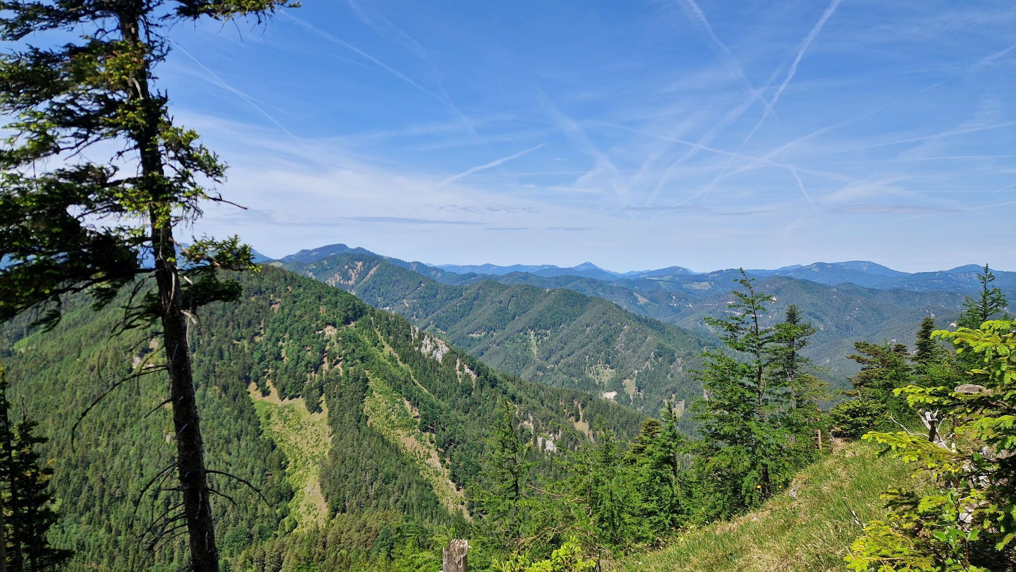
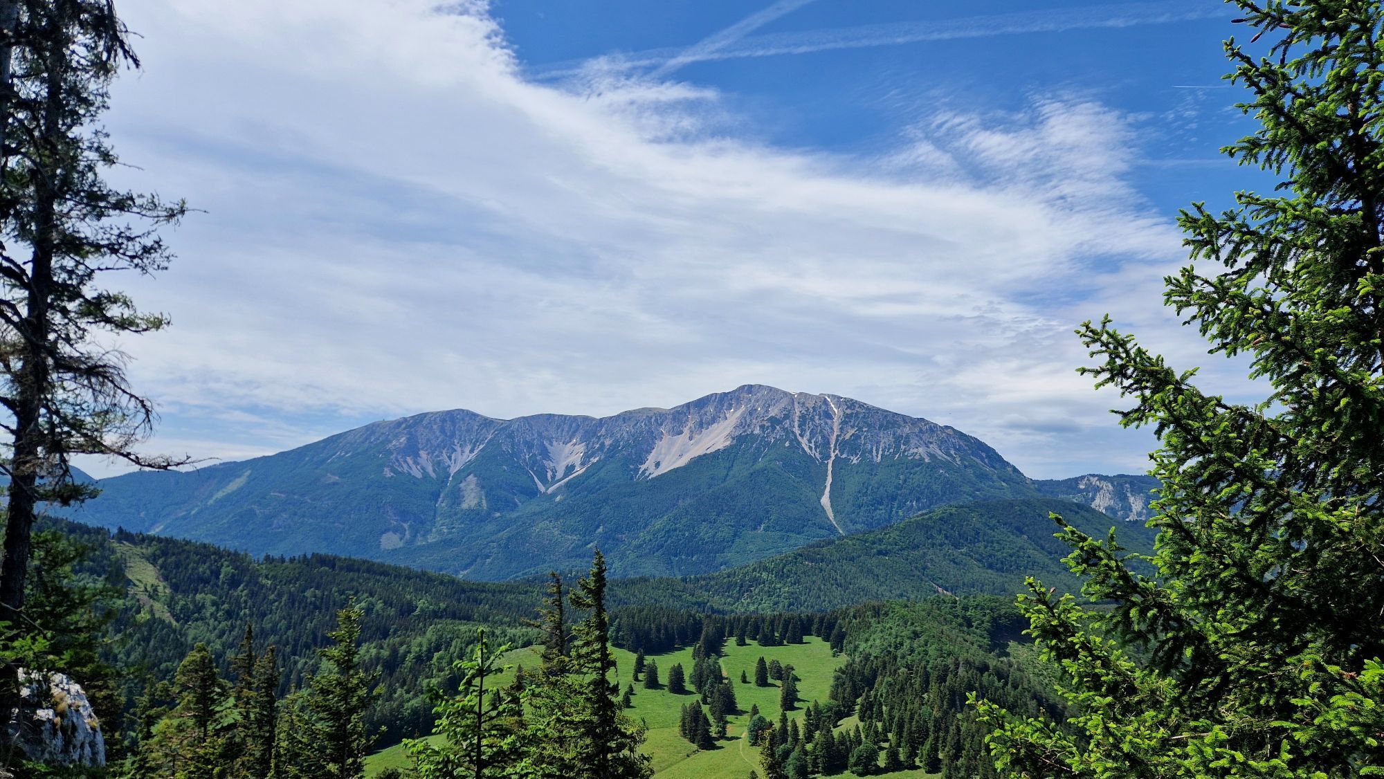
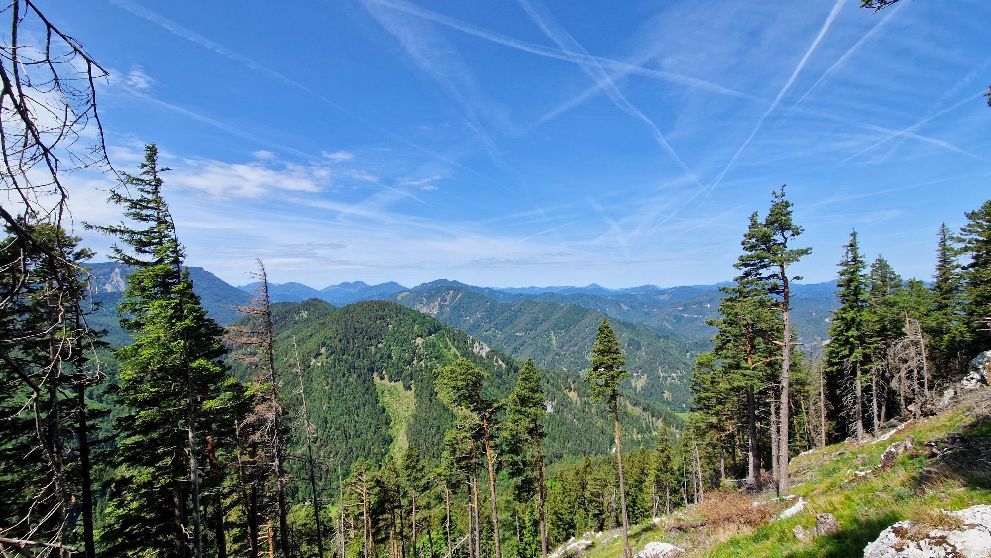
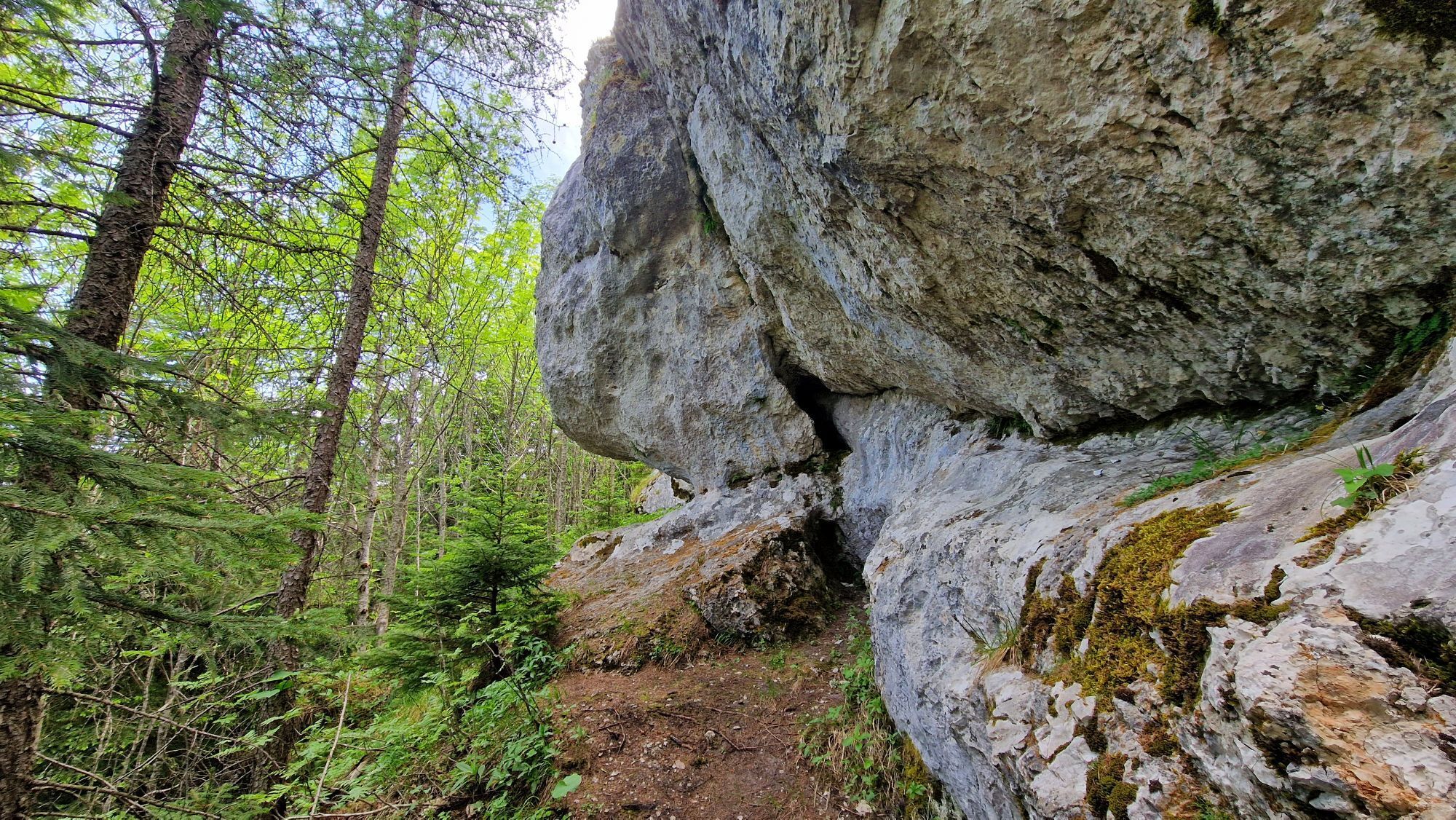
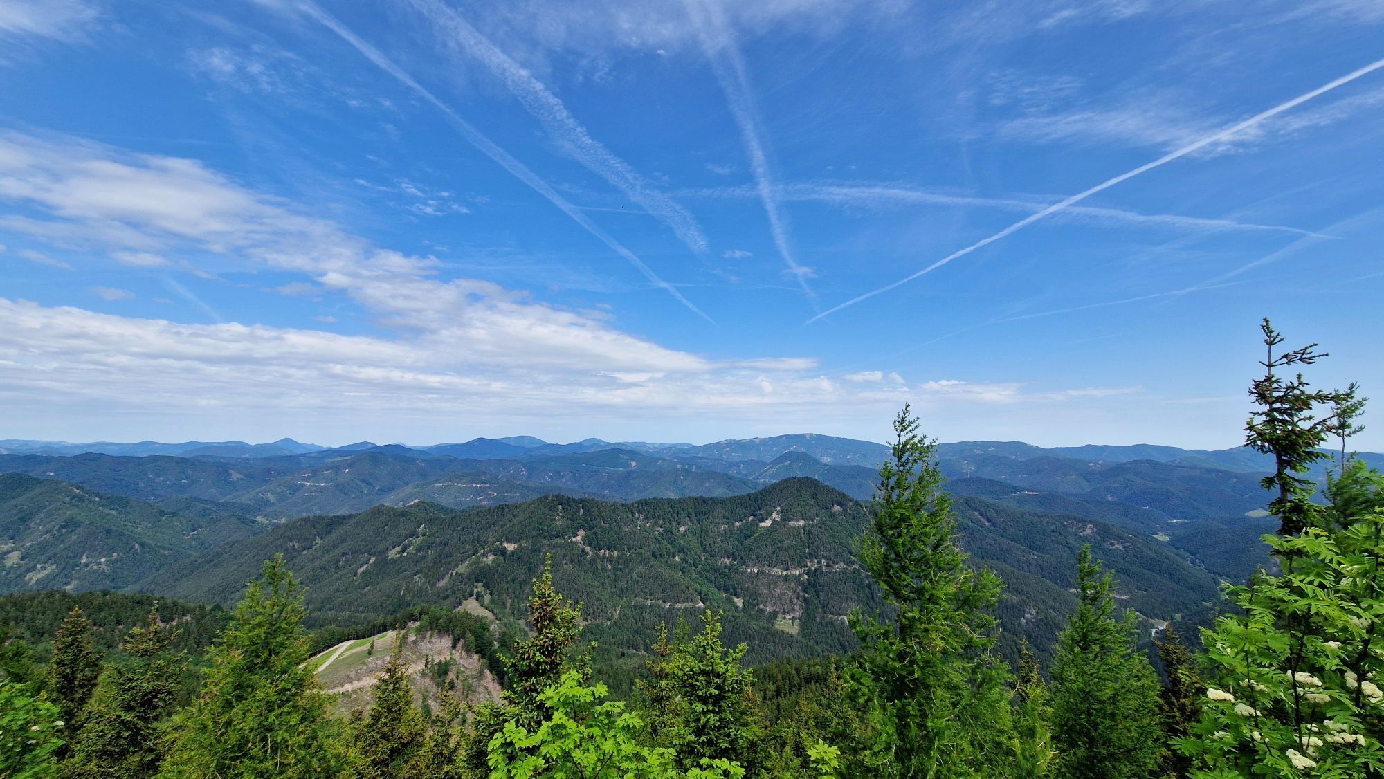
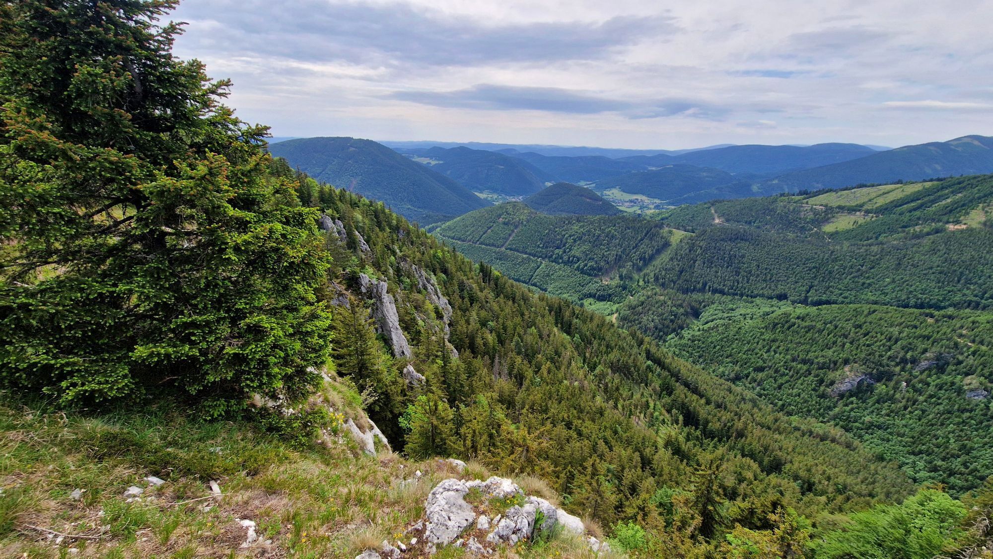
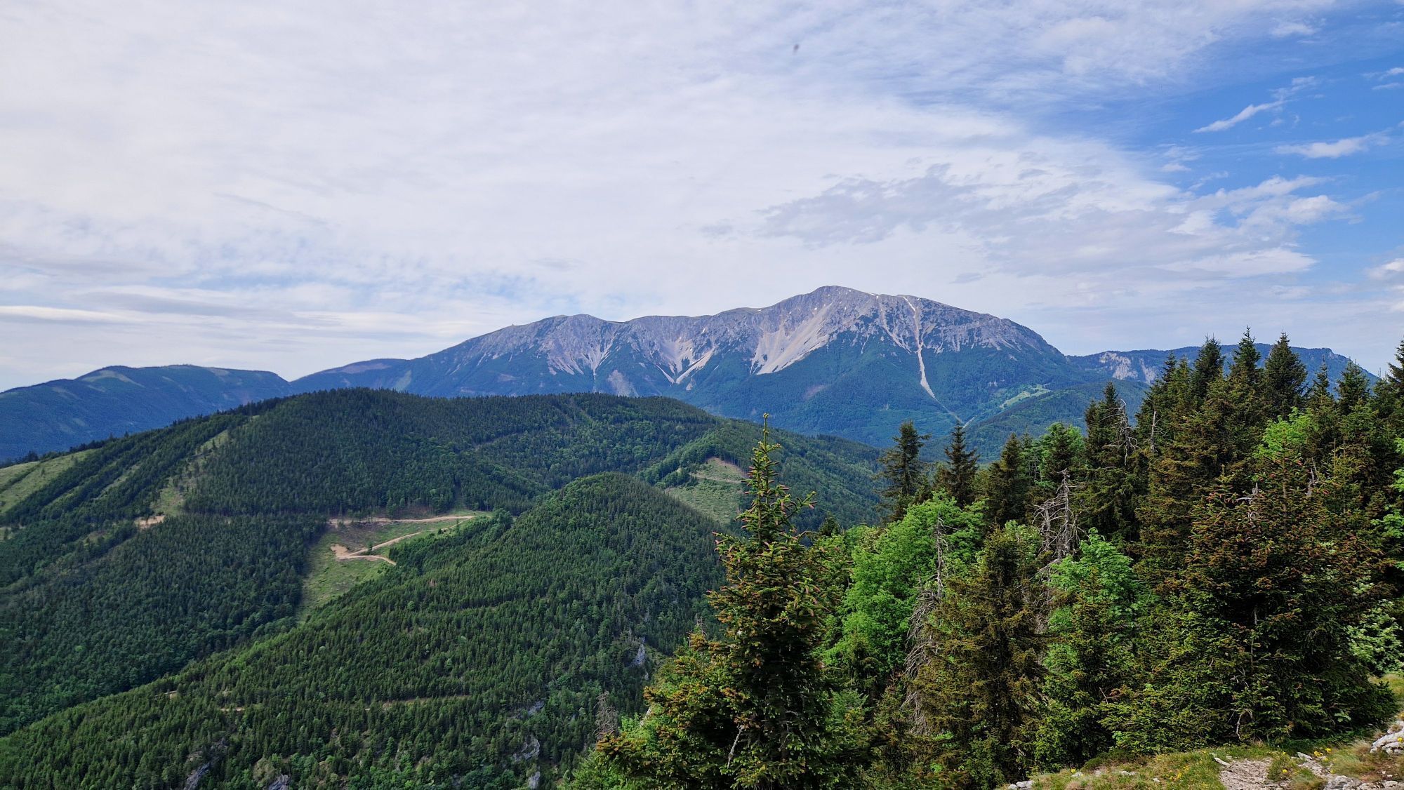
This hike takes a bit more time and requires good fitness. It is mostly a comfortable hiking trail with a steep ascent to Schoberberg. You can reach the starting point at Edelweiss Hut comfortably by chairlift...
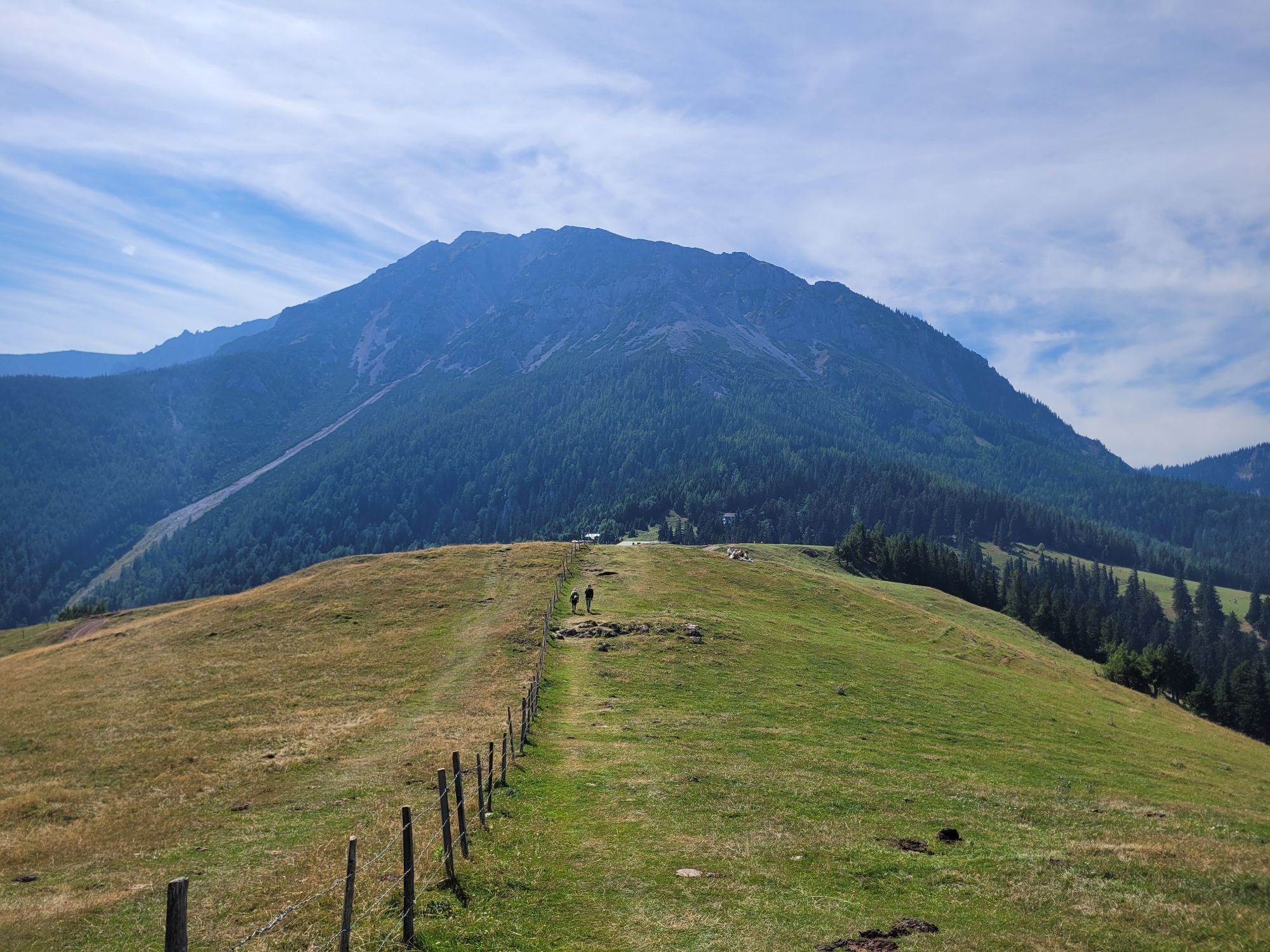
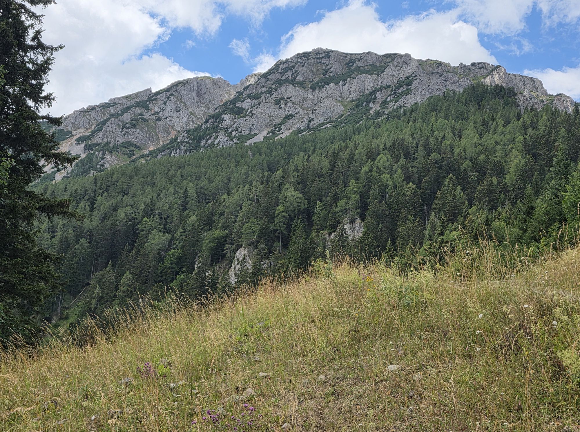
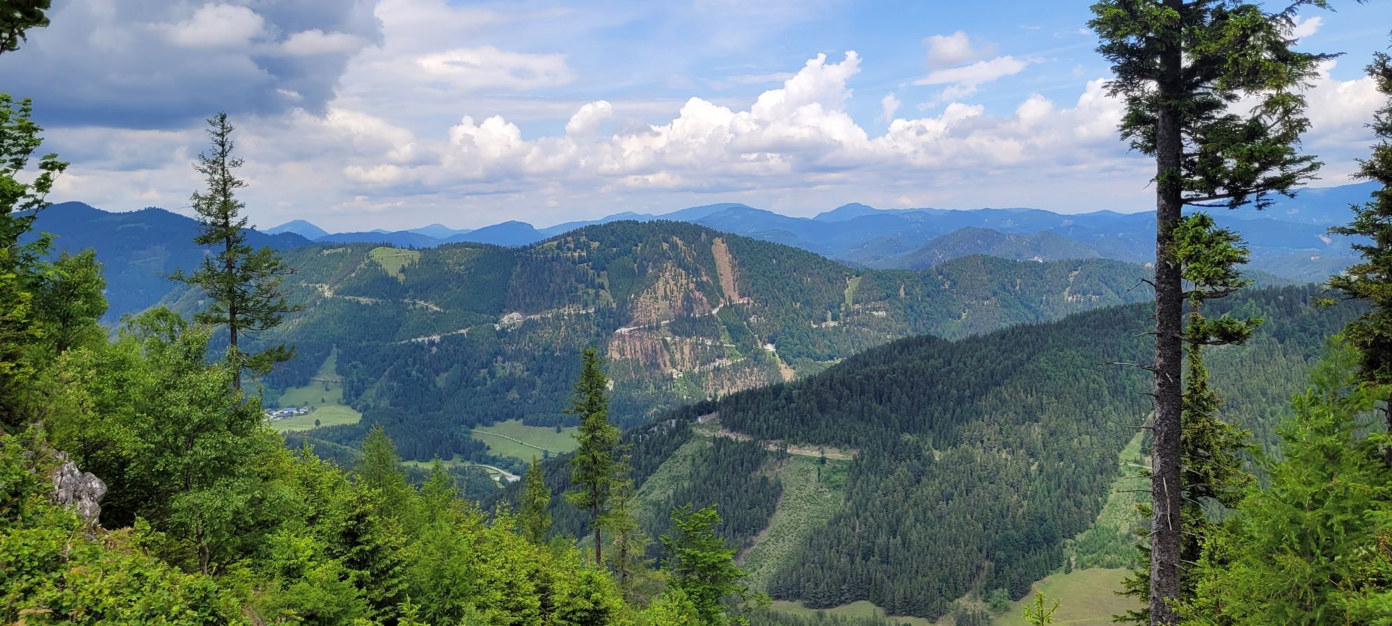
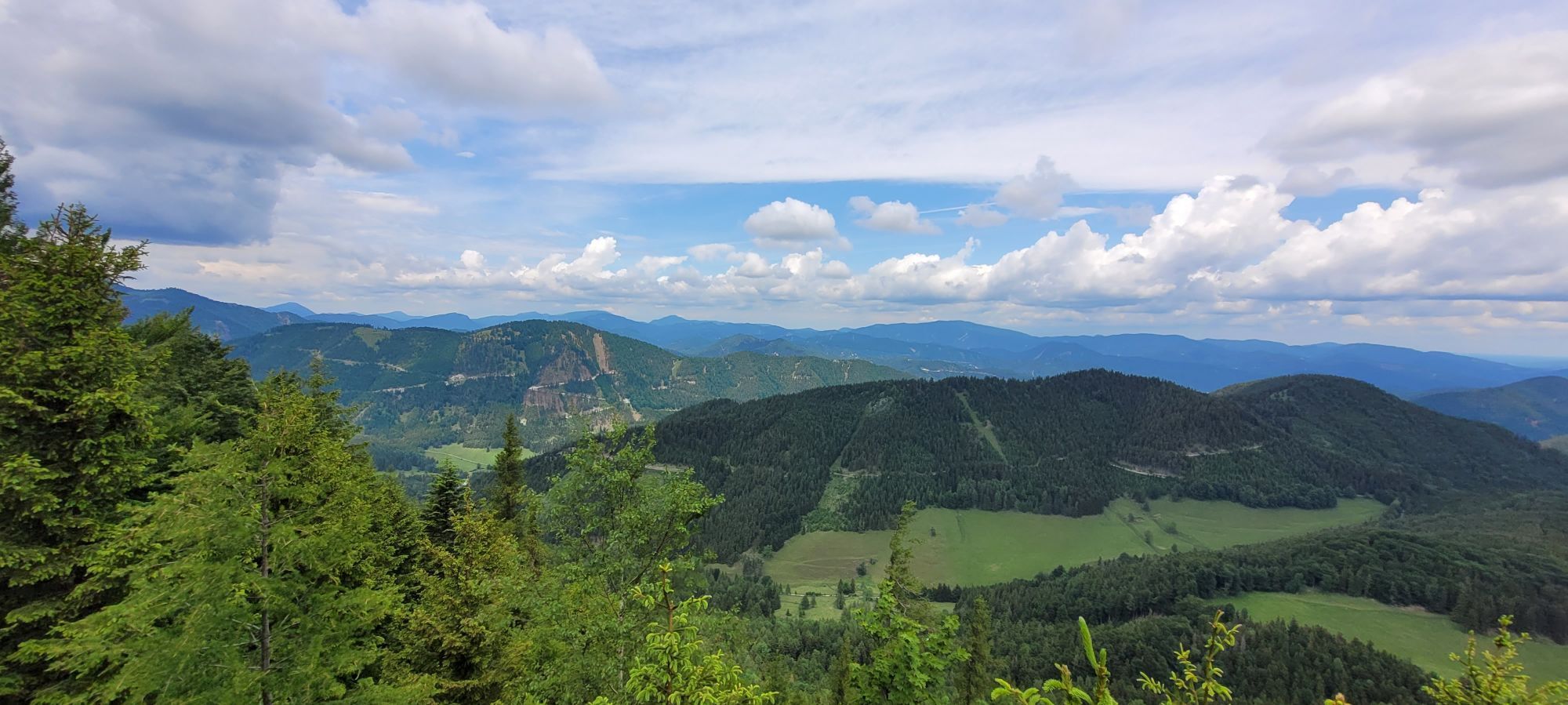
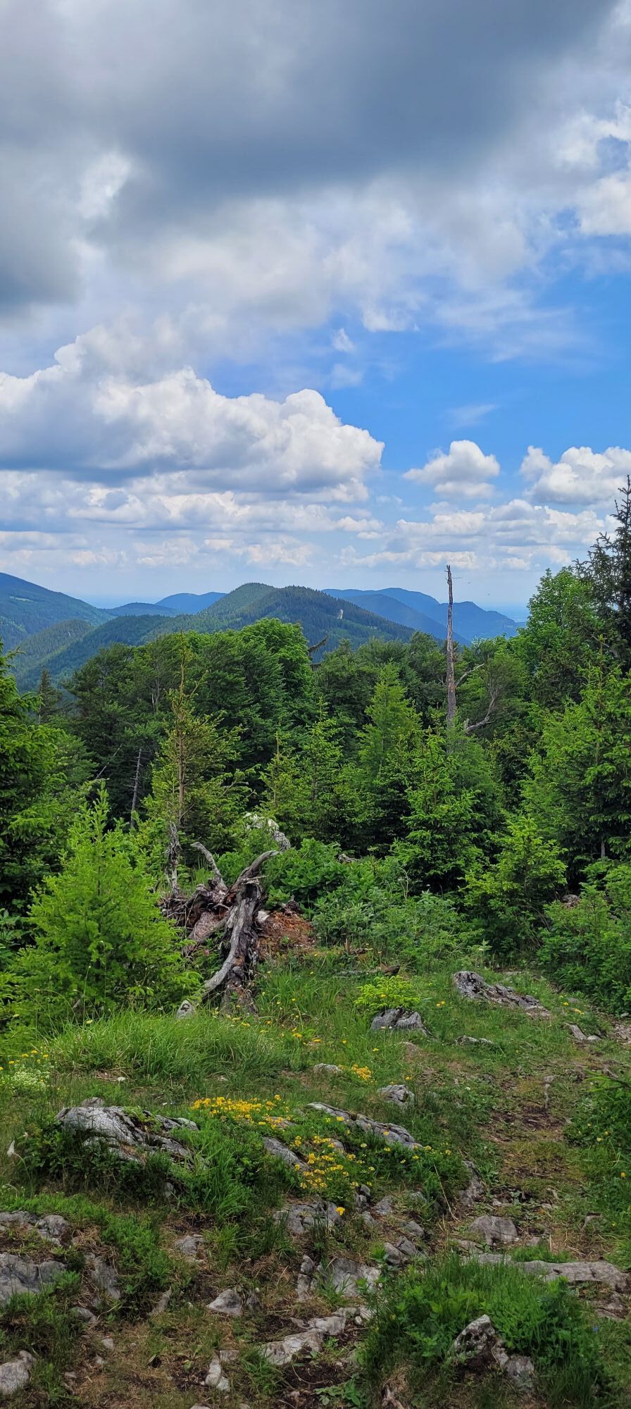
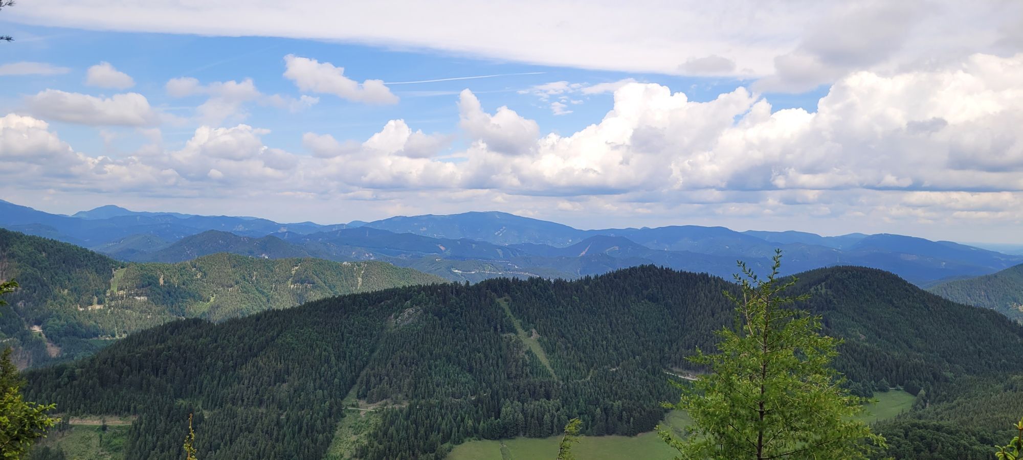
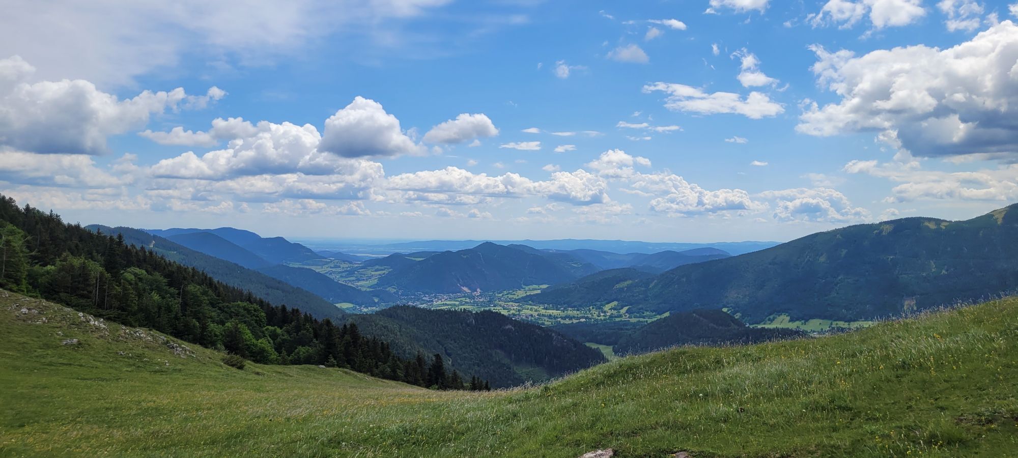
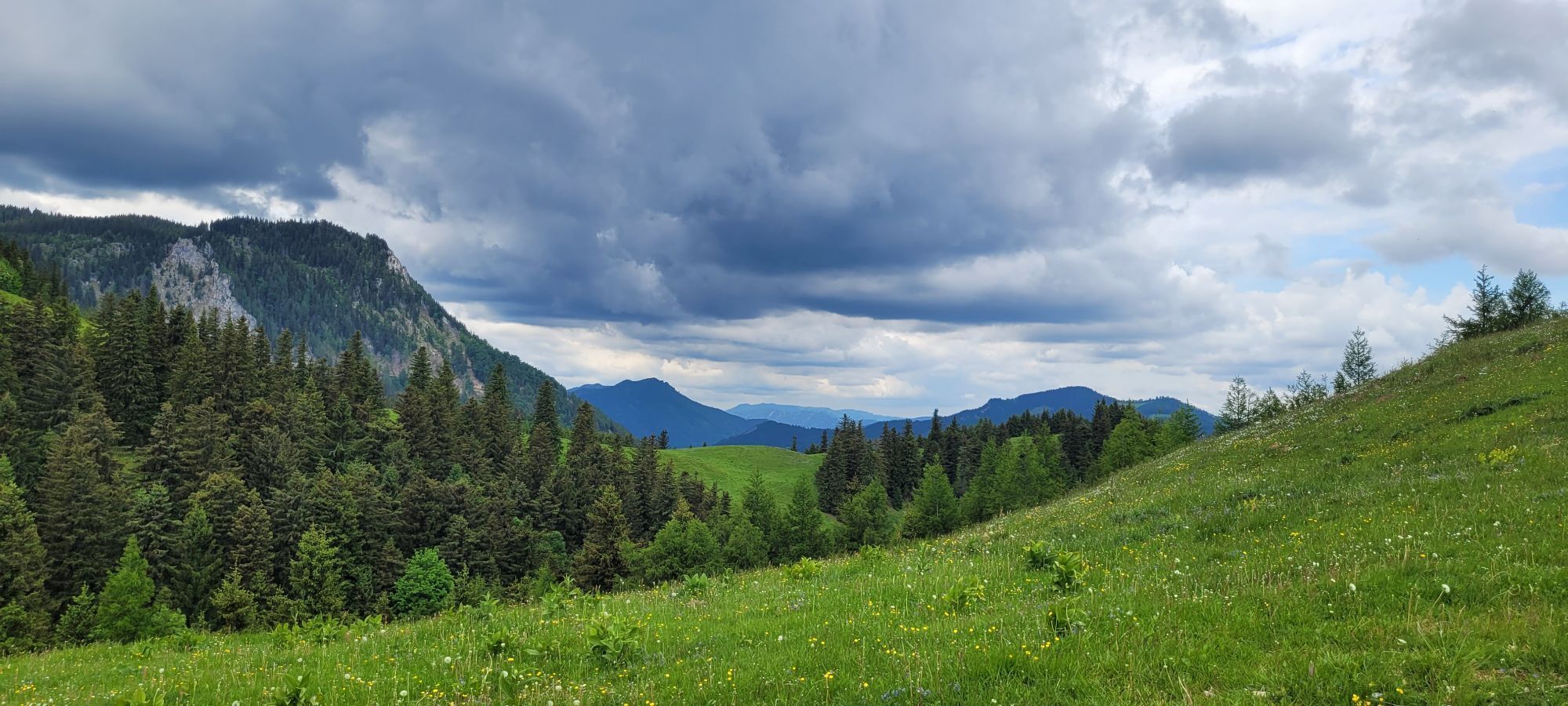
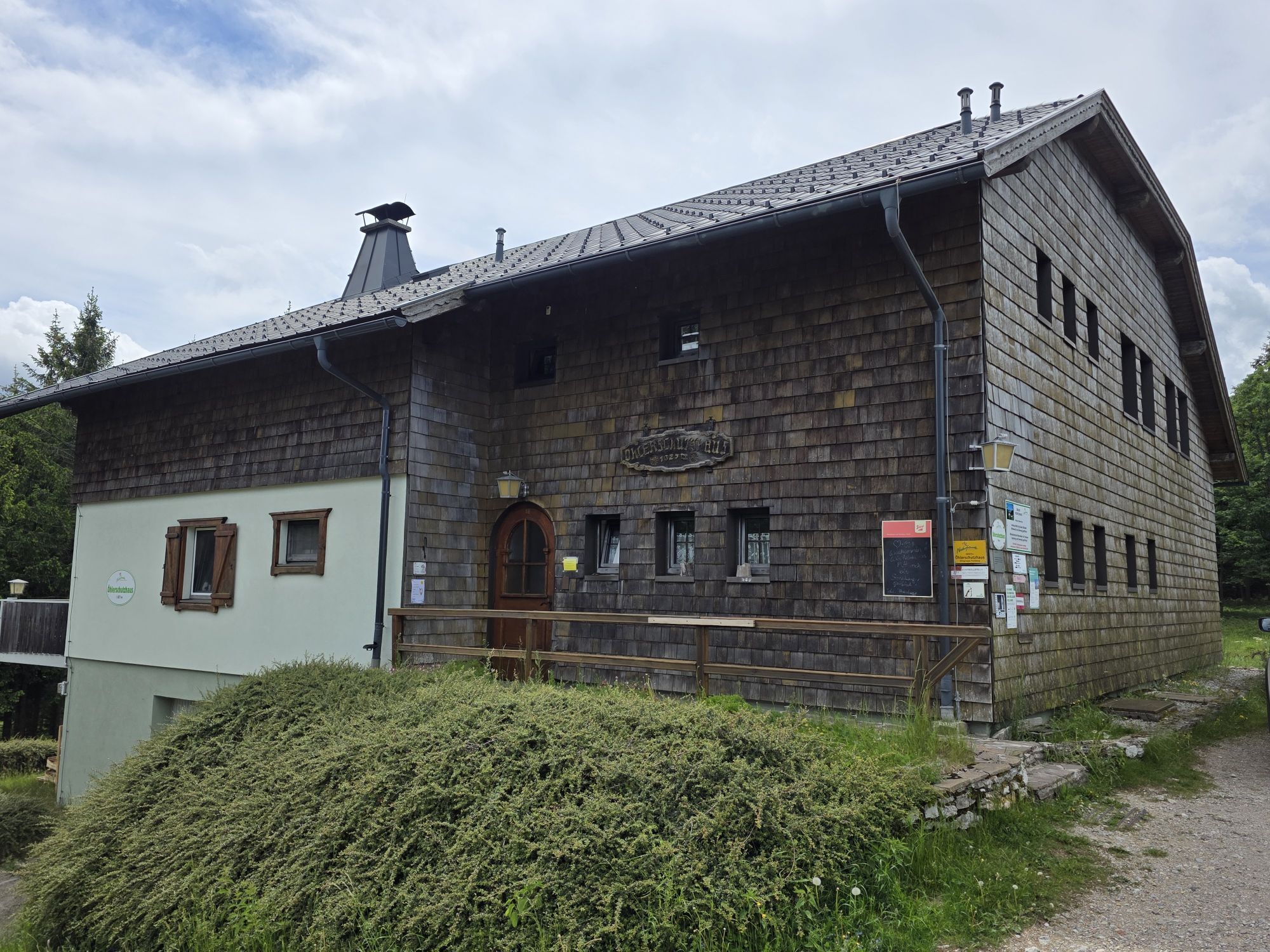
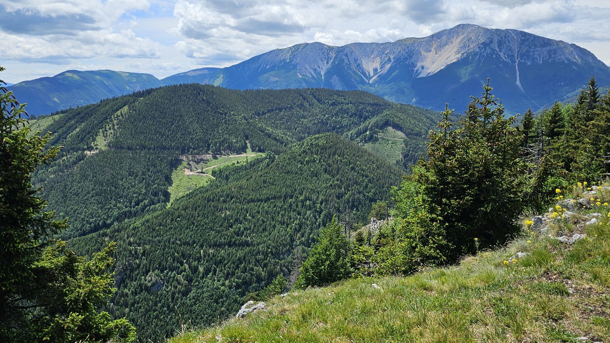
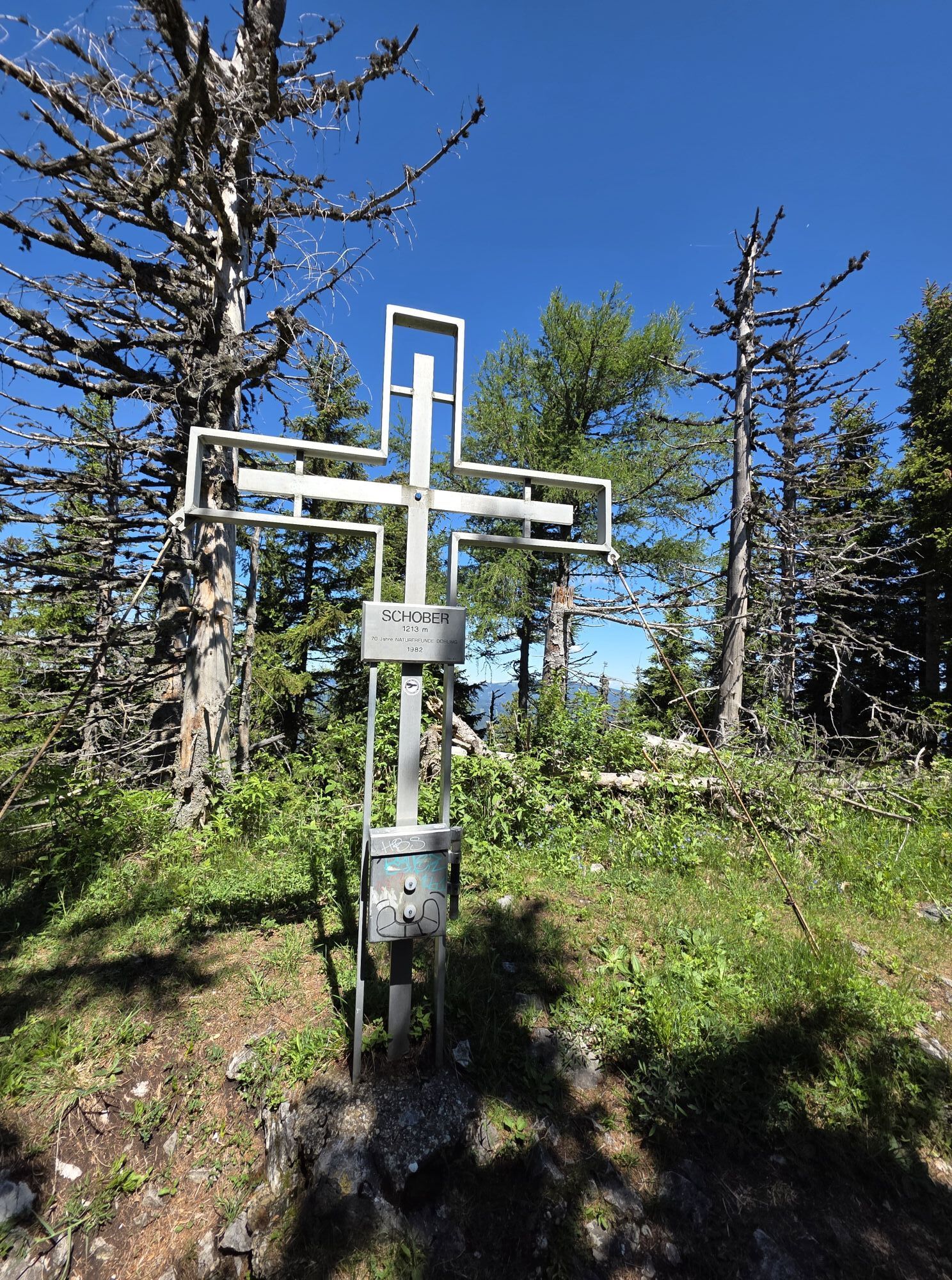
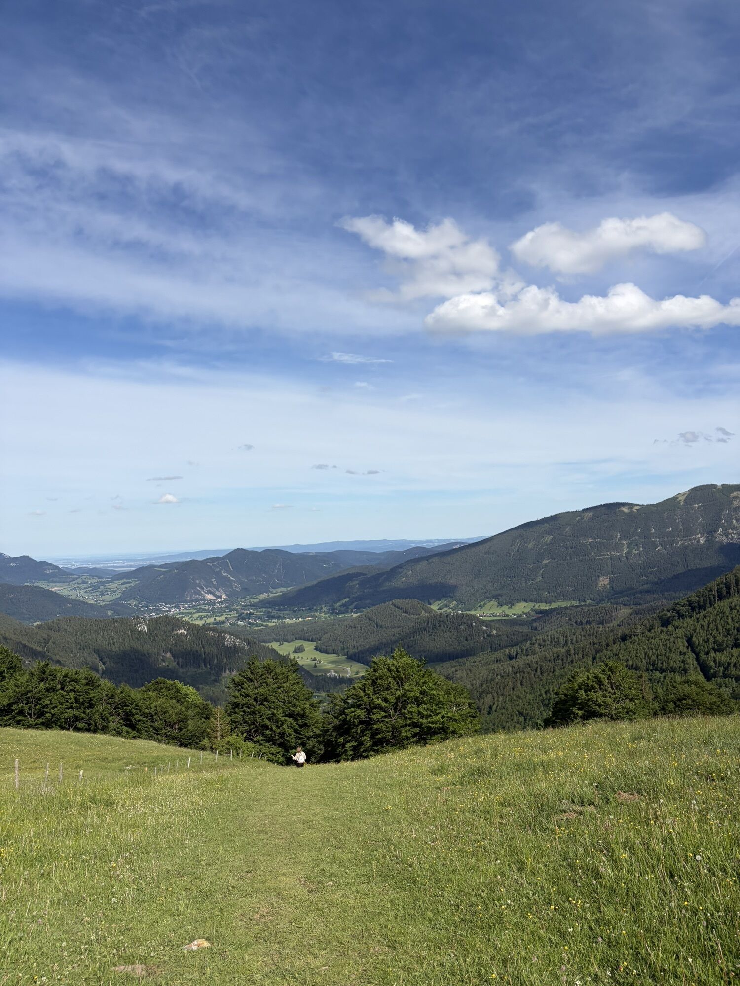
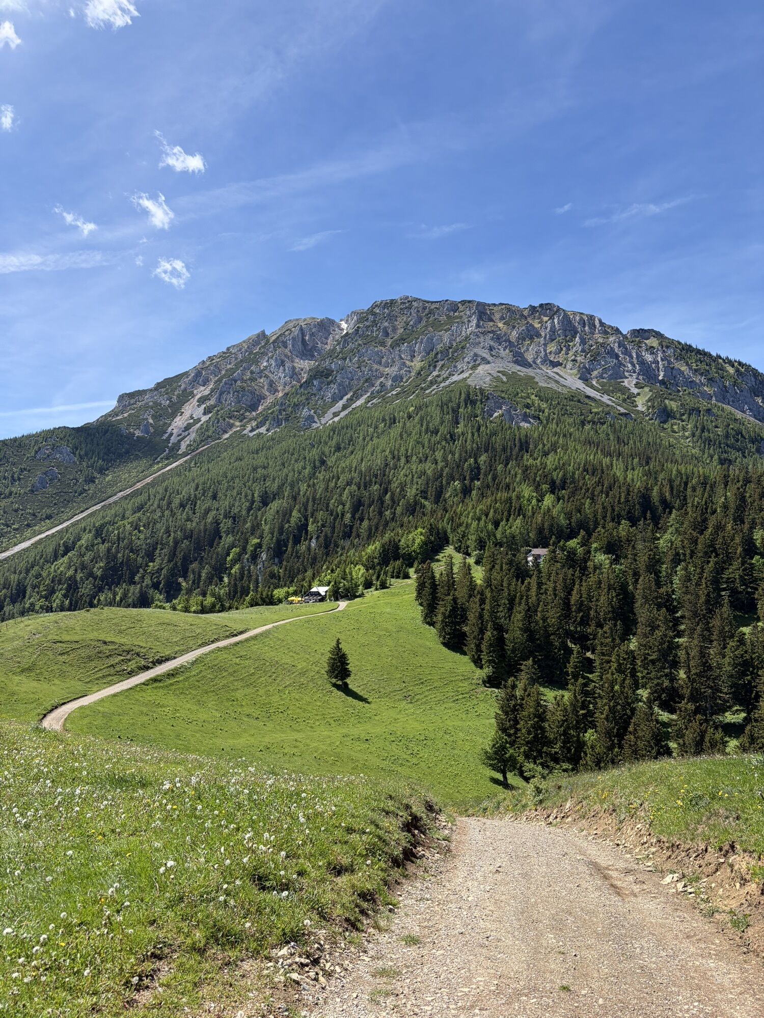
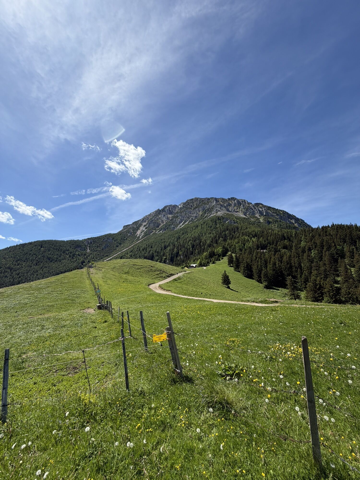
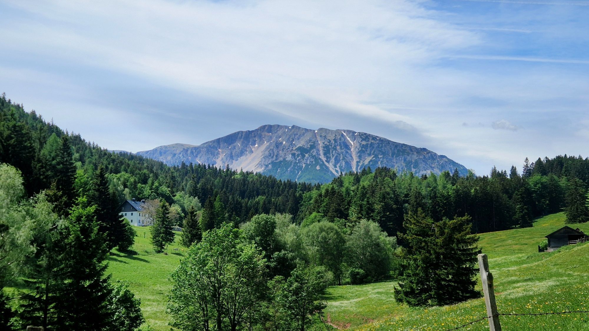
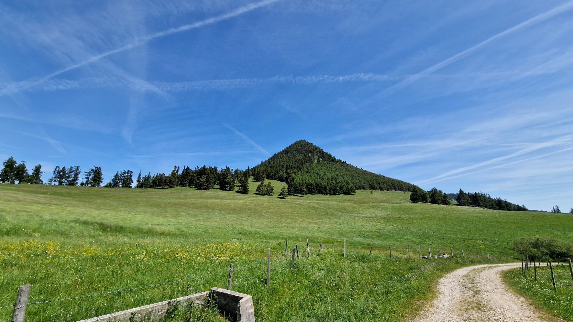
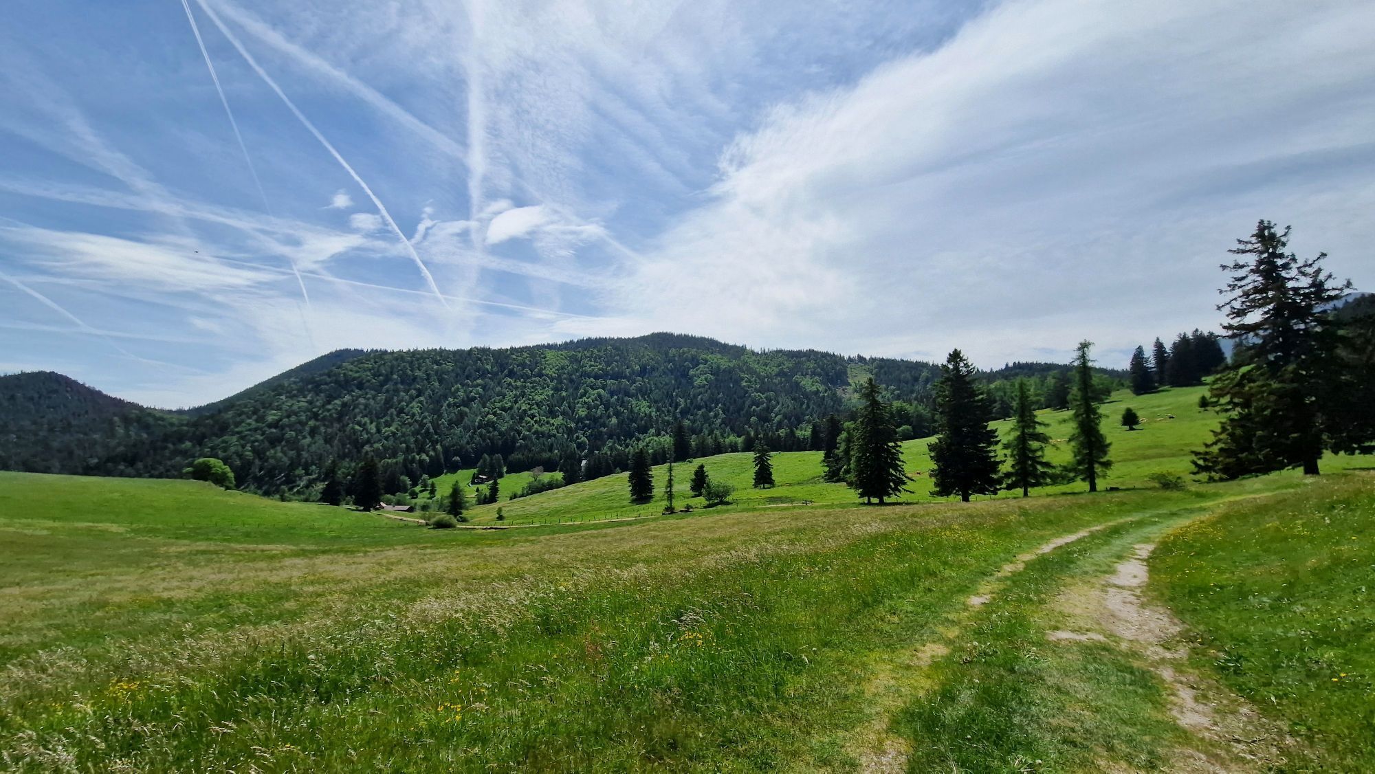
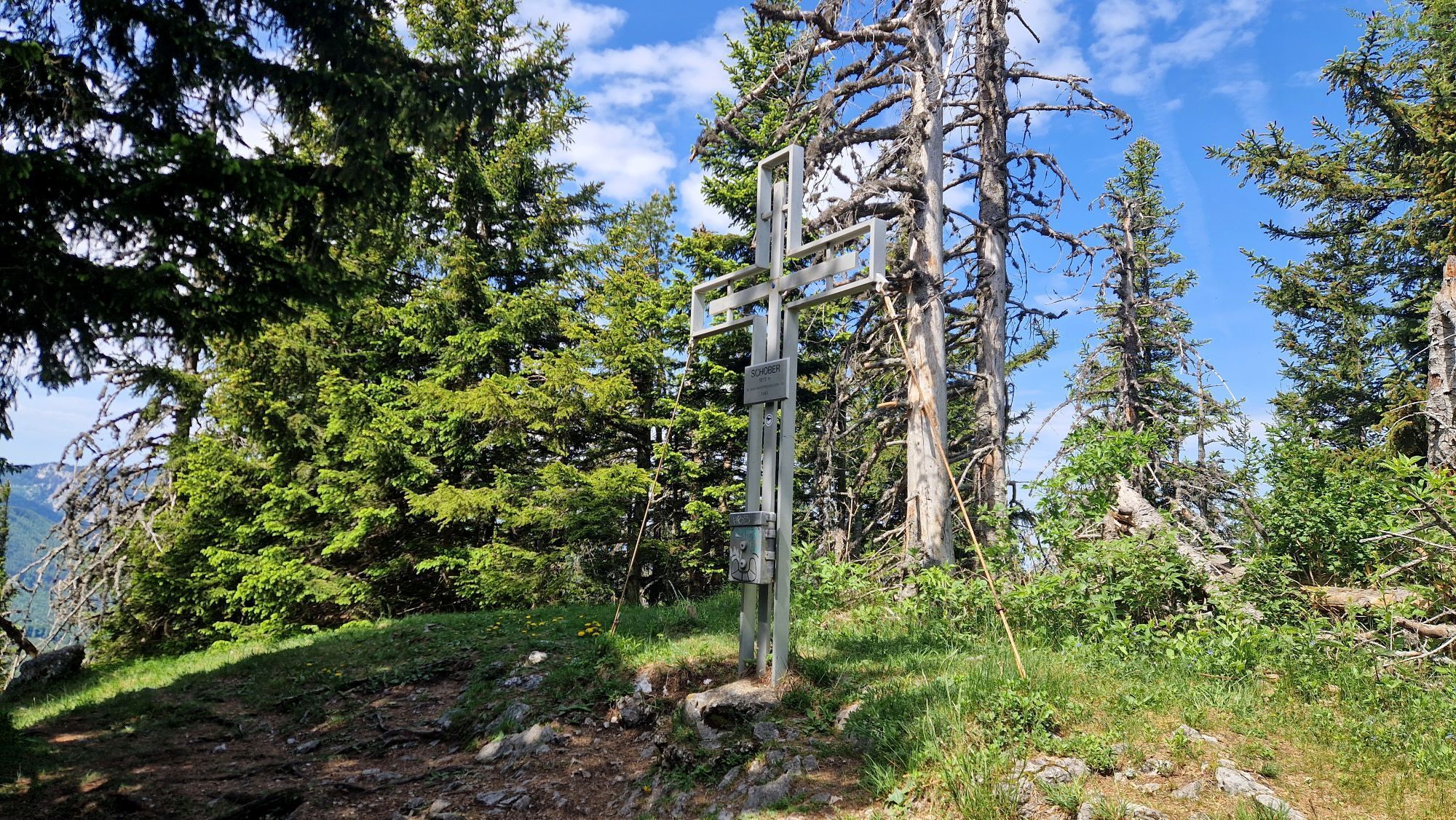
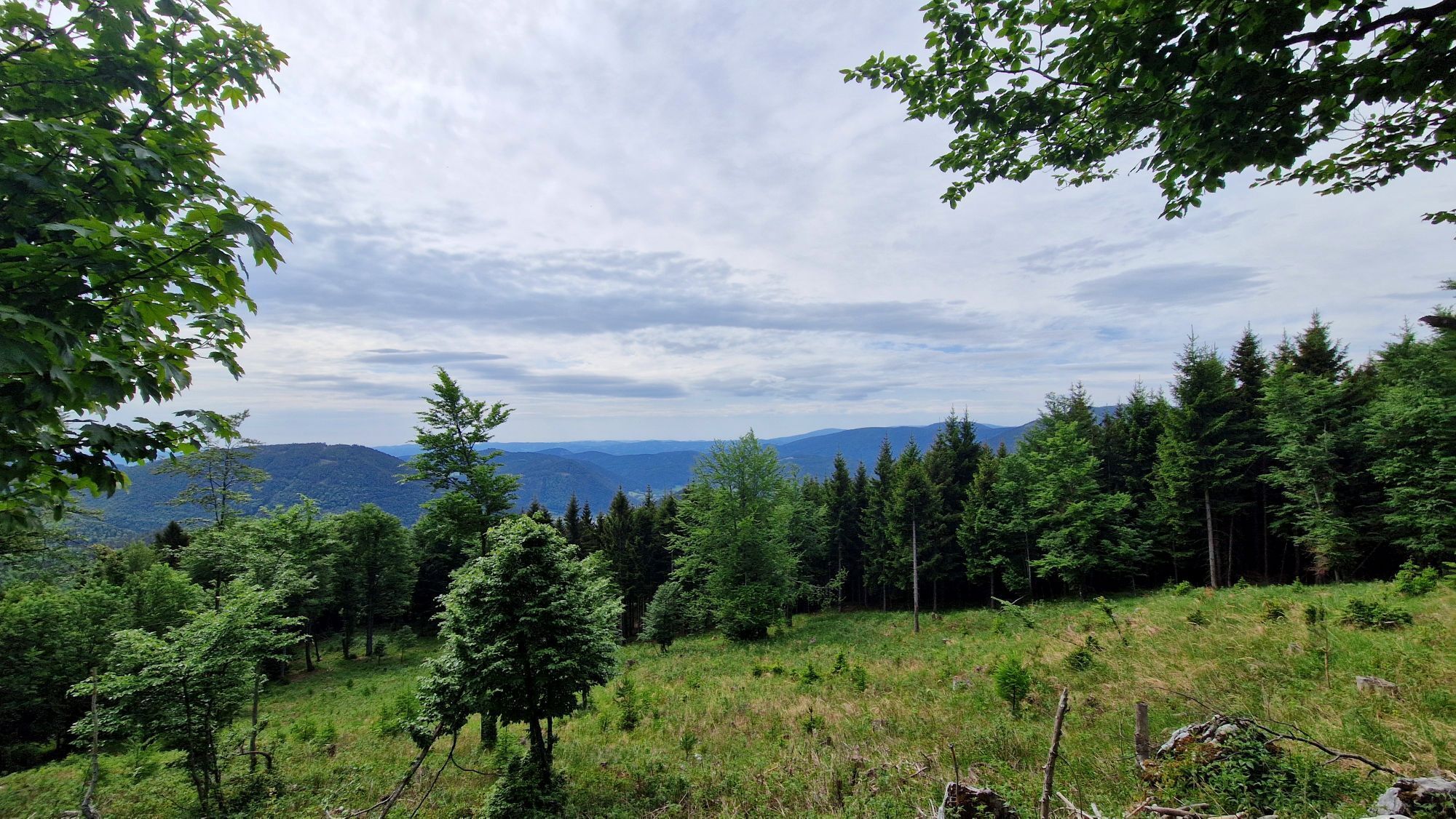
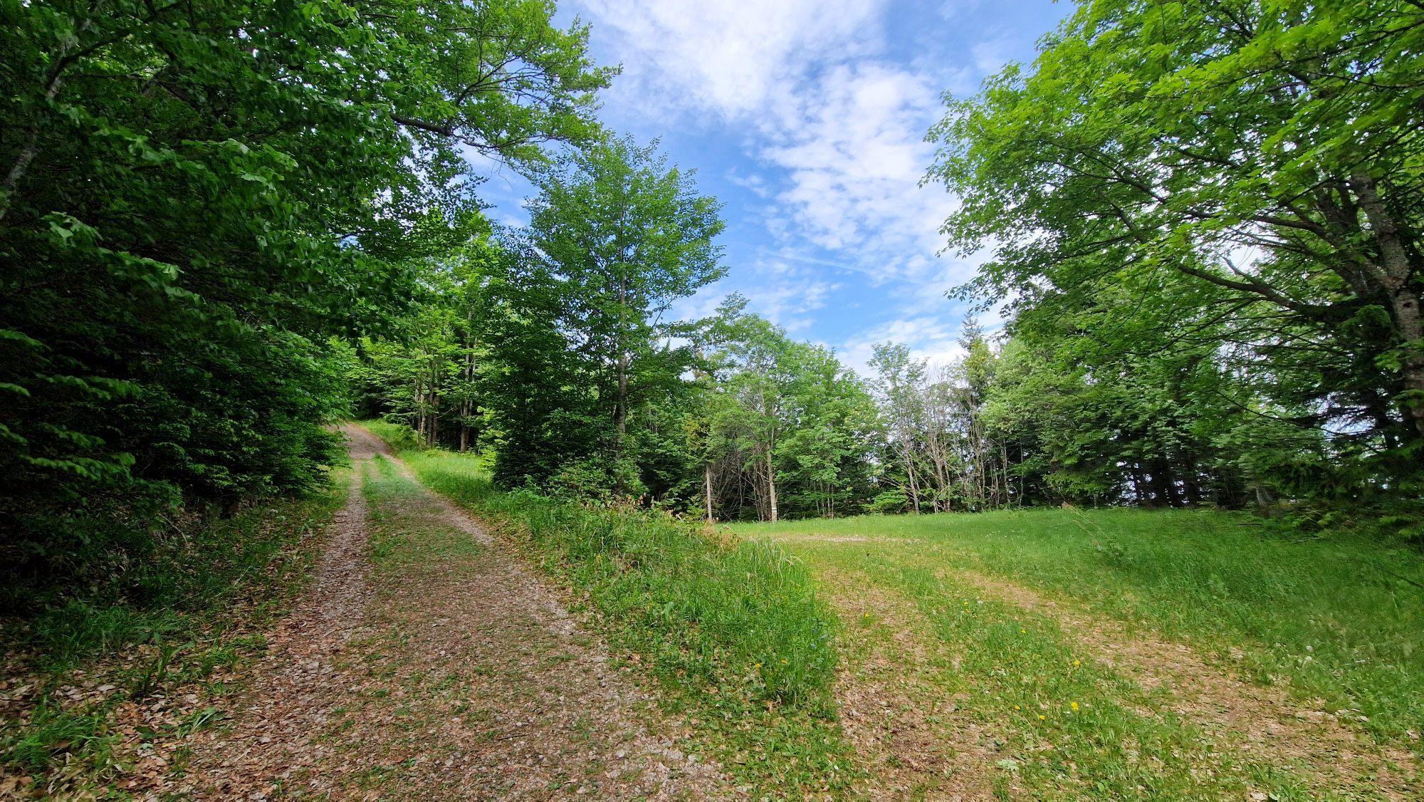
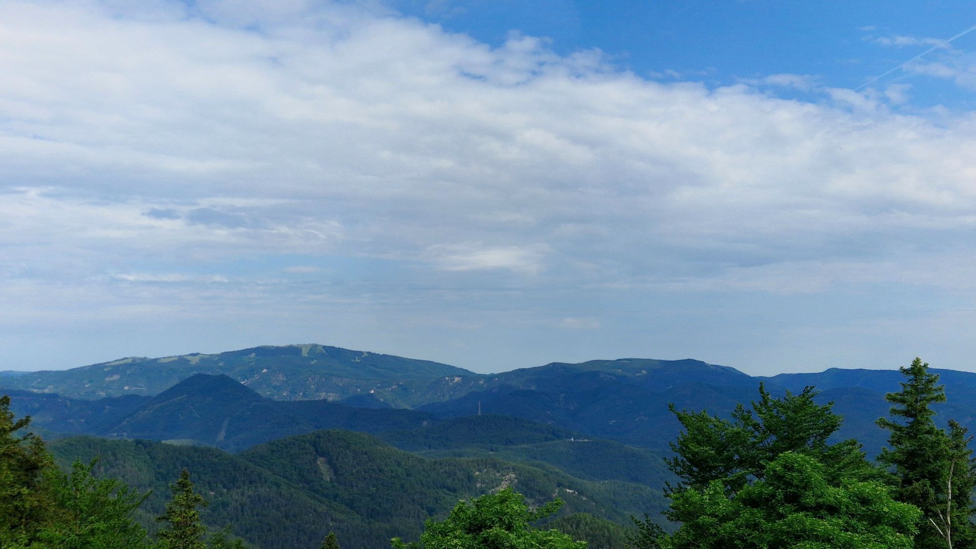
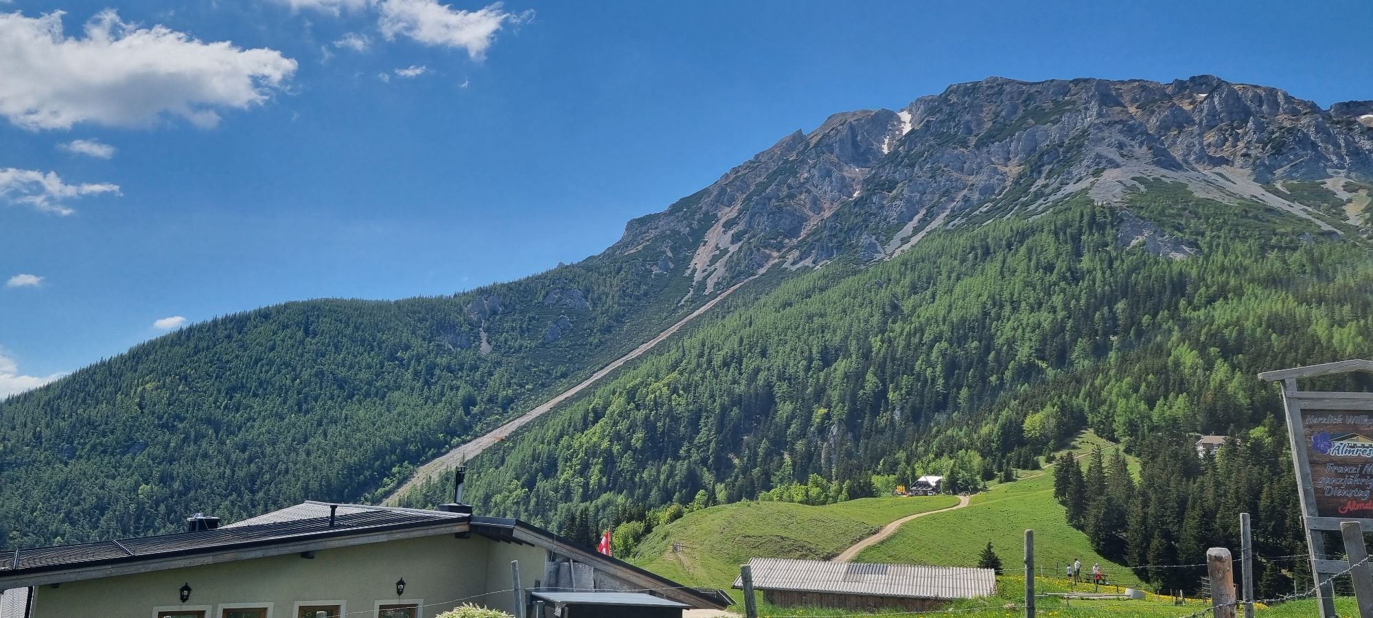
<p>This hike takes a bit more time and requires good fitness. It is mostly a comfortable hiking trail with a steep ascent to Schoberberg. You can reach the starting point at Edelweiss Hut comfortably by chairlift or on foot in about an hour along the yellow markings via the Tut Gut Route 1. When planning, you should take into account the opening hours of the Schneeberg chairlift. The Tut Gut Route leads over the Dürre Leitn to Mamauwiese (guesthouse closed). Then it continues to the Schober Chapel and over the summits of Schober (1213m) and Öhler (1183m) to the Öhlerschutzhaus. At Öhler, you enjoy a wonderful view of the Mariahilfberg. Here you can rest again and regain strength for the descent. If you want to hike further, you can do so on the Wiener Alpenbogen trail on the stage from the Öhlerschutzhaus to Pernitz.</p>

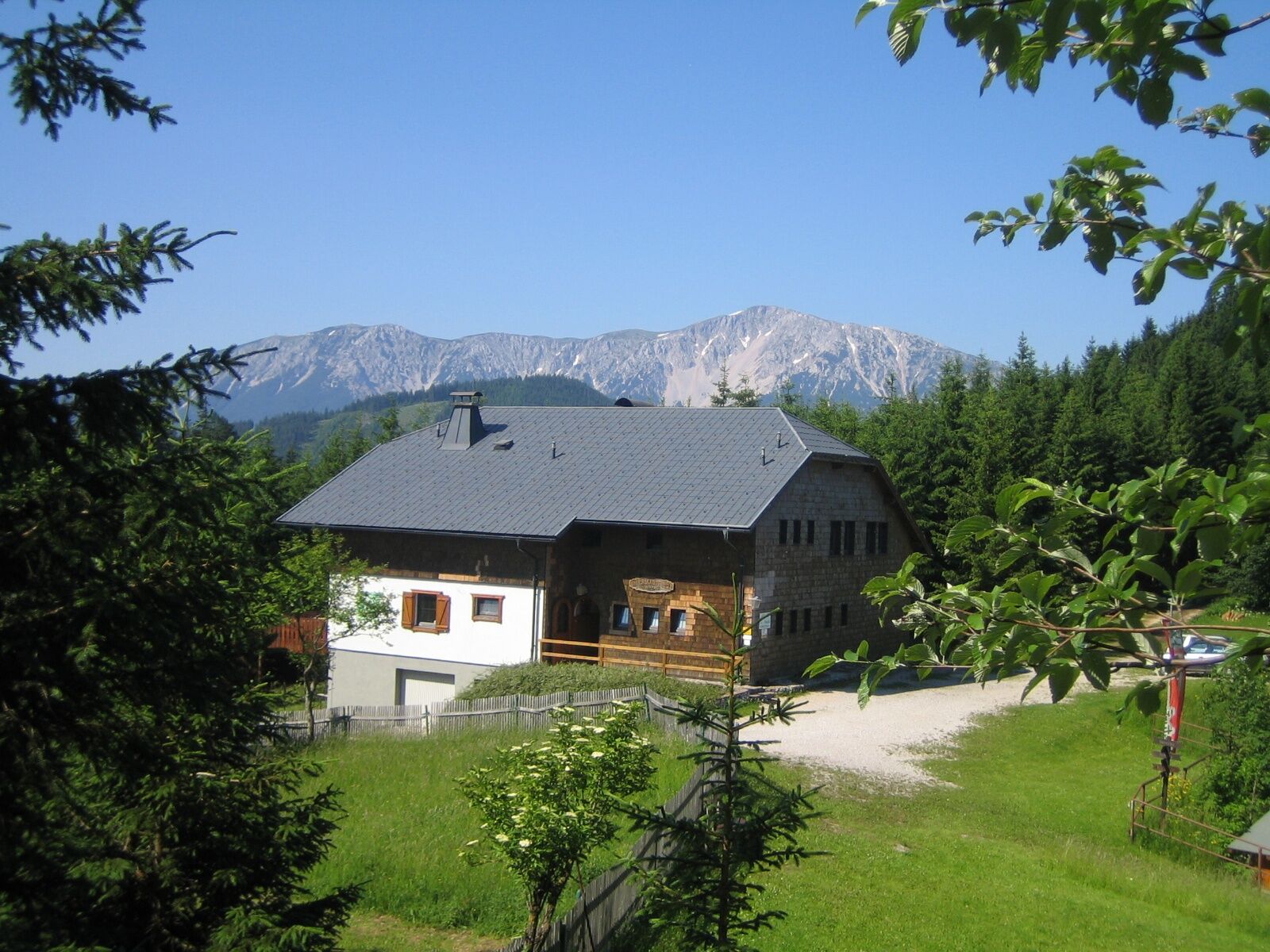
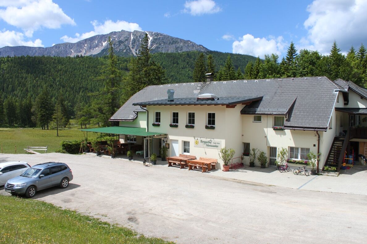

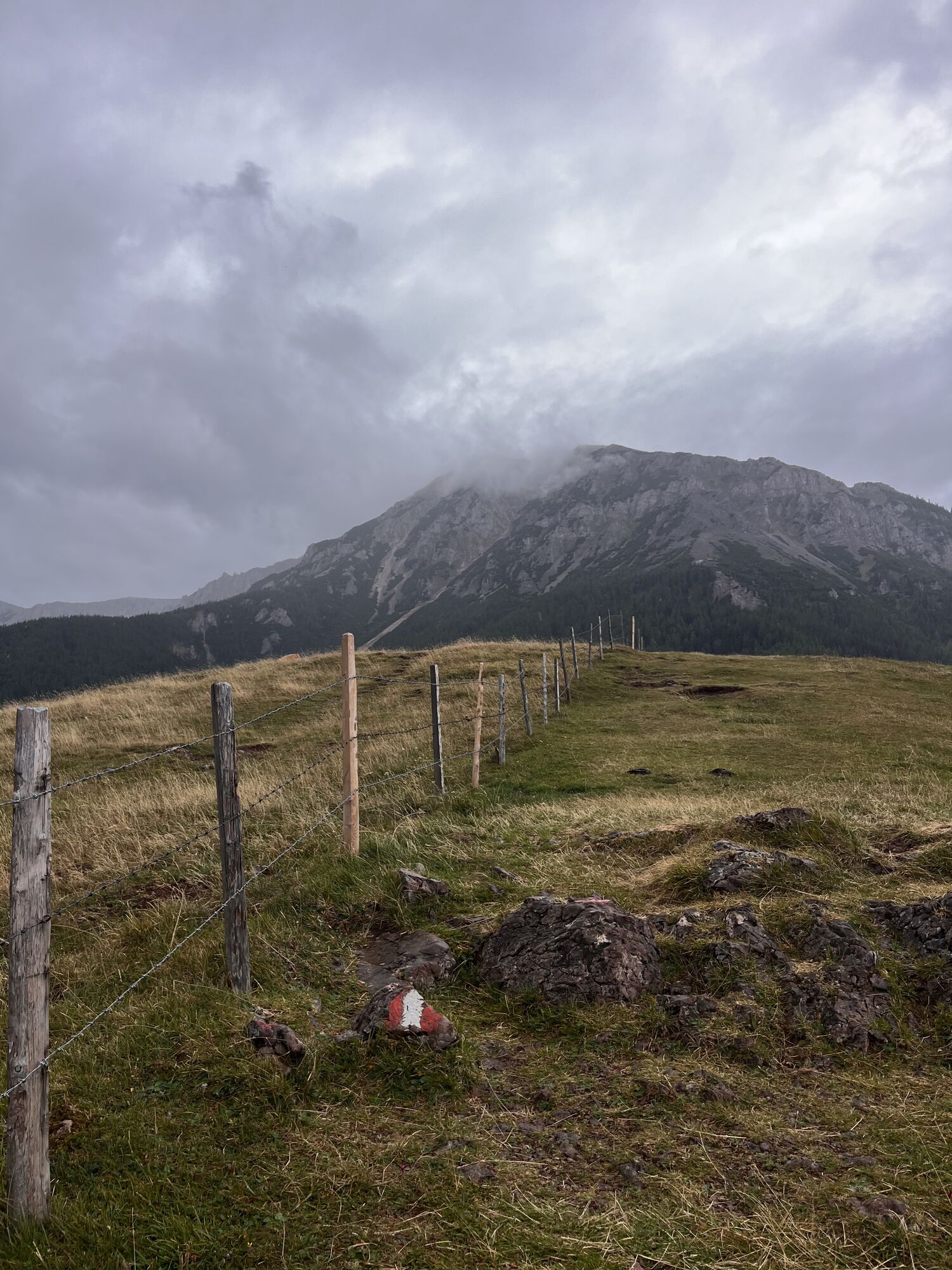
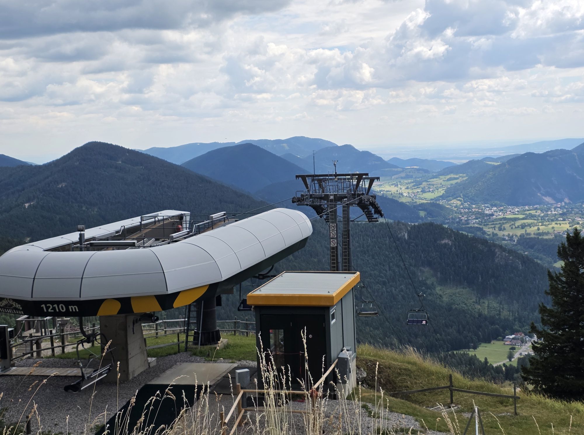
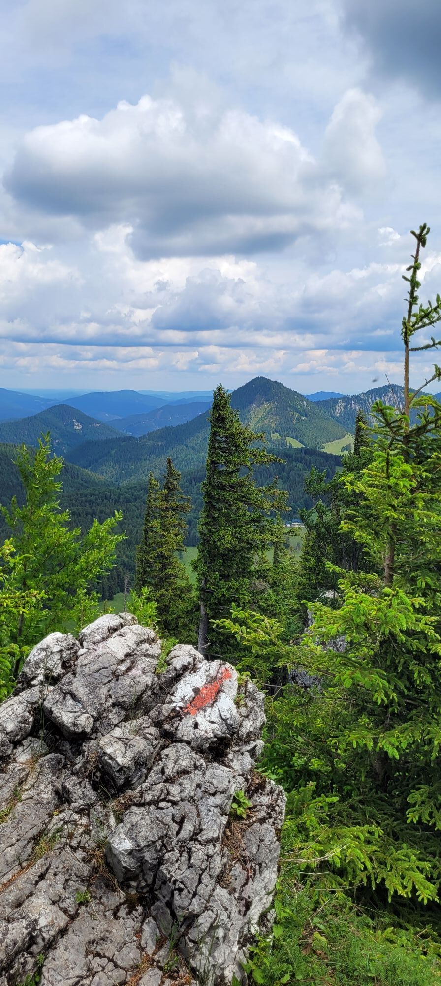
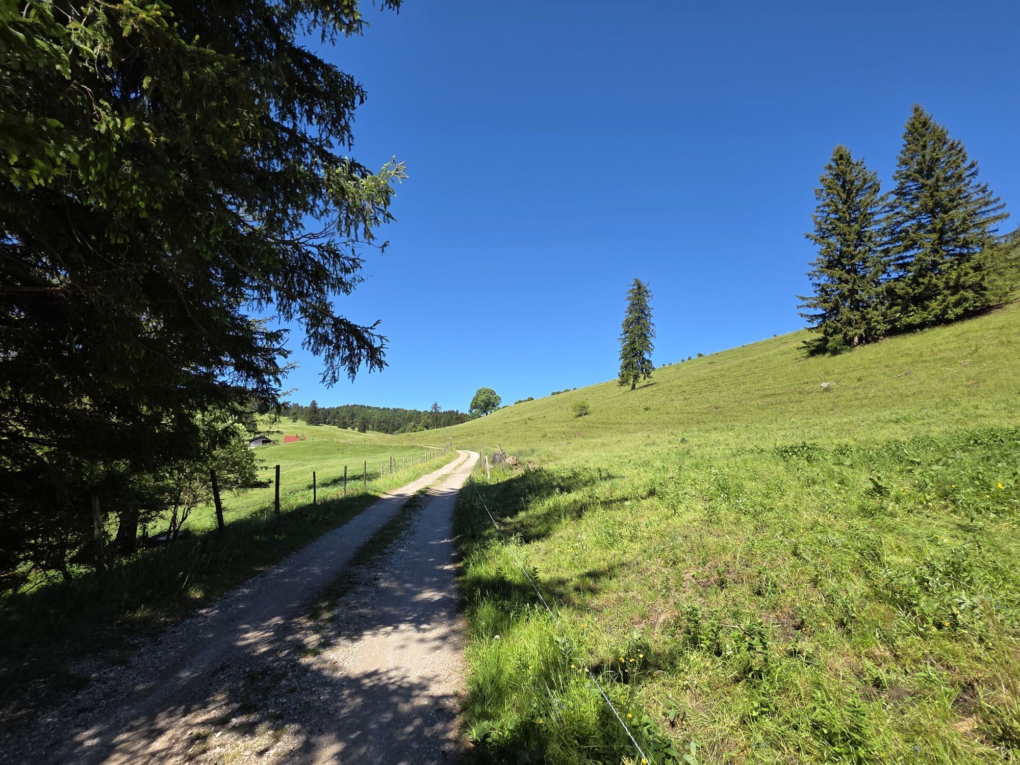
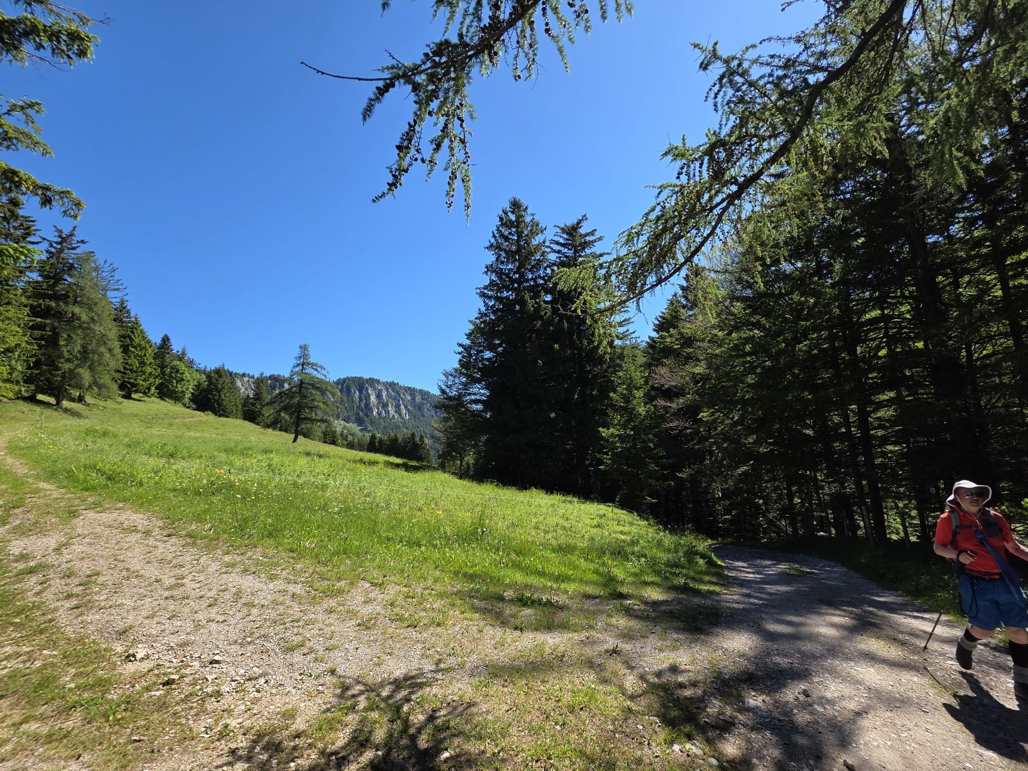
<p>We start at the Edelweiss Hut at the top station of the chairlift and follow the red markings over the Dürre Leiten to the mountain inn Mamauwiese. Continuing along the red markings, we climb up to the Schober Chapel. Behind it, the yellow markings begin, leading us over the Schoberwände to the Öhlerschutzhaus. On the way back, we follow the red markings along the Imnitzerweg and continue on the already familiar path to Mamauwiese. Here we follow the road downhill a short distance and then descend along the red markings again to Losenheim.</p>
<p>Always take suitable <strong>maps</strong> with you. Wear sturdy <strong>shoes</strong> appropriate for the route (hiking shoes or trekking shoes), take sun and rain protection as well as water and a snack. Take your <strong>mobile phone</strong> with you and save the mountain rescue emergency number: 140</p>
<p>Your hikes in the Vienna Alps should be a thoroughly beautiful and safe experience. Please therefore consider the following:</p><p><strong>Preparation</strong></p><p>Make sure that the chosen route matches your experience and <strong>fitness</strong>. Inform yourself in advance about the <strong>weather report</strong>. The weather in the mountains can change surprisingly fast. Therefore, always start out properly equipped (e.g., rain protection).</p><p>Check whether the <strong>huts and snack stations</strong> you want to visit along the way are open. <strong>Inform</strong> someone about your chosen route and your planned return before you set off.</p>
<p><strong>Arrival from Vienna:</strong><br />Take the South Motorway <strong>A2</strong> towards Wiener Neustadt to the Wr. Neustadt West exit. From there, follow the federal road <strong>B26</strong> towards Puchberg am Schneeberg. The route is well signposted.<br /><br /><strong>Arrival from Graz:</strong><br />Take the South Motorway <strong>A2</strong> towards Vienna to the Wr. Neustadt West exit. From there, follow the federal road <strong>B26</strong> towards Puchberg am Schneeberg. Follow the signs.</p>
<p>Take the train from Vienna or Graz to Wiener Neustadt. From there, take the regional train towards Puchberg am Schneeberg to the final station.</p><p>Direct excursion train on weekends: Departure at 8:41 a.m. from Vienna Main Station, return at 4:36 p.m. from Puchberg station.</p><p>Buses also run from Neunkirchen and Ternitz (line 350) and from Pernitz (line 330) to Puchberg. Line 350 continues from Puchberg station to Losenheim to the valley station of the Schneeberg chairlift.</p><p>More information at <a href="www.oebb.at">www.oebb.at</... or <a href="www.vor.at">www.vor.at</a&...
<p>Parking lots at the valley station of the Schneeberg chairlift in Losenheim.</p>
Tourism Association Schneebergland, www.schneebergland.com, +43 / 02636 / 22 56-11
Vienna Alps in Lower Austria, www.wieneralpen.at, +43 / 2622 / 78960
Edelweiss Hut, www.edelweisshuette.at
Schneeberg Chairlift, www.schneebergsesselbahn.at
Puchberg am Schneeberg, www.puchberg.at/tourismus
Öhler Schutzhaus, phttp://www.naturfreunde-haeuser.net/data_geofinder_item.php?Item=113
Almreserlhaus - OPEN - Tuesday closed
Combine your hike with a stay in Puchberg. For example, at the hiking businesses Hotel Restaurant Forellenhof, the Pension Bruckerhof, or the Hotel Schneeberghof
Uzyskaj wgląd
Zawsze na żywo z ponad 9 500 kamer internetowych. bergfex Jako użytkownik Pro, możesz teraz zobaczyć odpowiednie kamery internetowe dla wielu wycieczek w aplikacji wycieczki od. Pozwala to na bezpośredni podgląd aktualnych warunków.
Aktywności na trasie
-

Gutenstein, Niederösterreich/Österreich
25.07.2026 – Wędrówka -

Puchberg am Schneeberg, Niederösterreich/Österreich
12.07.2026 – Wędrówka -

Puchberg am Schneeberg, Niederösterreich/Österreich
11.07.2026 – Wędrówka -

Puchberg am Schneeberg, Niederösterreich/Österreich
26.06.2026 – Wędrówka -

Puchberg am Schneeberg, Niederösterreich/Österreich
24.05.2026 – Wędrówka
Popularne wycieczki w okolicy
-
4,7
Losenheim: Edelweißhütte - Fadensteig - Fischerhütte
średniWędrówka 11,5 km -
4,7
Zahnradbahn und Wandern am Schneeberg - Plateauwanderung
średniWędrówka 6,90 km -
4,8
Cultural walk Payerbach-Reichenau
światłoWędrówka 7,43 km -
5,0
Insider tip: Schneeberg via the Novembergrat
ciężkiWędrówka 13,5 km -
4,9
"Über den höchsten Nieder-Ösi" - Schneeberg - Weichtalklamm - Klosterwappen - Stadlwandleiten
średniWędrówka 17,7 km -
4,9
"Weichtalklamm" über Stock und Stein durch das Höllental - Weichtalhaus - Kientallerhütte 1340m
średniWędrówka 14,0 km -
4,9
SCHNEEBERG Losenheim Nandlgrat Klosterwappen Fadenweg 28.09.2017
ciężkiWędrówka 15 km -
4,9
Flatzer Wand Wanderung
światłoWędrówka 5,62 km -
4,8
Schneeberggebiet: Ein Stückchen am Wasserleitungsweg im Höllental
światłoWędrówka 2,64 km -
4,8
ÖTK Klettersteig (vormals HTL Klettersteig) und Blutspur (D/E)
ciężkiVia ferrata 1,41 km

Wędrówki i tropienie


Nie przegap ofert i inspiracji na następne wakacje
Twój adres e-mail została dodana do listy mailingowej.





