


Berg und Tal
Enjoy a pleasant hike through long cellar lanes and over fertile vineyards.
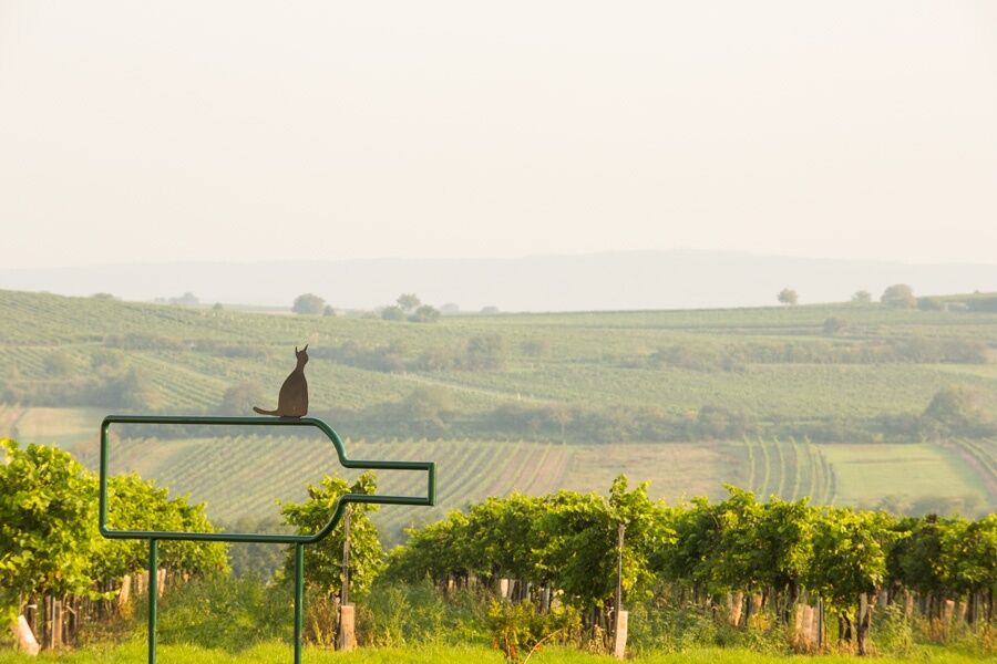
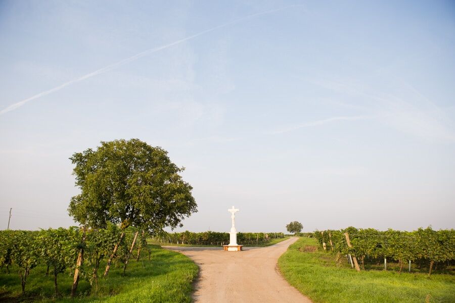
The BERG and TAL route leads you from Veltliner Platz (municipality of Zellerndorf) via the Maulavern cellar lane into the municipality...
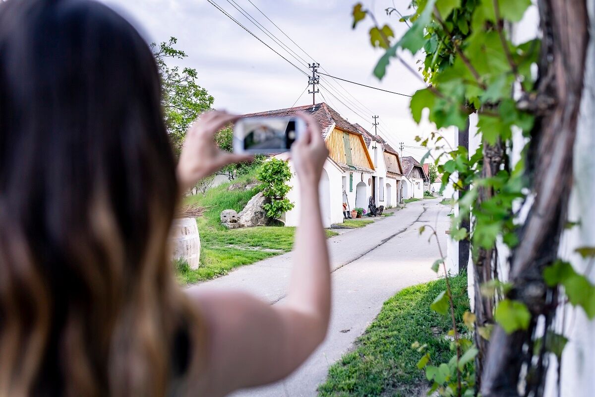
<p>Enjoy a pleasant hike through long cellar lanes and over fertile vineyards.</p><p>The BERG and TAL route leads you from Veltliner Platz (municipality of Zellerndorf) via the Maulavern cellar lane into the municipality of Deinzendorf (energy spot Marienbrunnen) and Dietmannsdorf. Via Sonnleiten, the Weißes Kreuz, past the Schubert family castle, the route leads along the Pulkau to the Point cellar lane back to Zellerndorf.</p><p><strong>Tip: Book a cellar lane tour</strong></p><p>A guided walk through our most beautiful cellar lanes, stories and anecdotes about the “villages without chimneys”, viticulture of yesteryear, the “naive architecture”, and much more. And of course, the cellar lane guide carries a cellar key!<br/>Cellar lane tour, duration: 1 to 2 hours<br/>Wine tasting with traditional snack and cellar tour, additional 2 hours</p>

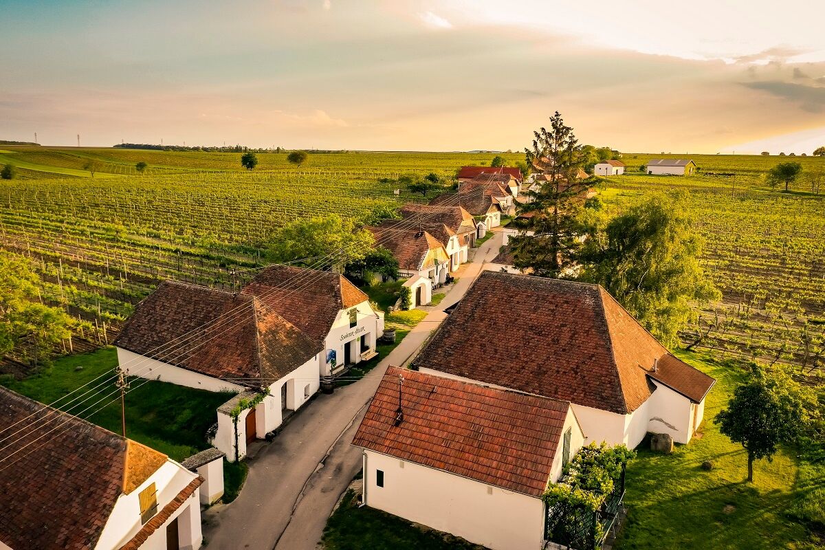
<p>Maulavern cellar lane with cellar museum and cyclist rest stop – through the Riede “Junge Bergen” to Deinzendorf with cyclist rest stop – past Stransky mill in Dietmannsdorf – Weißes Kreuz – along the Pulkau stream into the Point cellar lane to Zellerndorf</p>
<p>Train connection to Zellerndorf</p>
<p>Parking available at the Zellerndorf municipal office.</p>
Responsible for the content of this route
Weinviertel Tourismus GmbH
Last updated: 18.03.2025
Contact details of the cellar lane guides:
Maulavern cellar lane in Zellerndorf: Margit Gessl, T +43 650 227 03 67Nusswald cellar lane in Platt: Martha Holzschuh, T +43 650 2361 666Öhlberg cellar lane in Pillersdorf: Alexandra Mayer, T +43 650 860 82 13Rondelle cellar lane in Deinzendorf: “weinstimmig”, T +43 2945 2246Book a cellar lane tour in Zellerndorf, Platt, Pillersdorf or Deinzendorf.
Popularne wycieczki w okolicy
- 4,4
DAC Radtour-Weinviertel
średniJazda na rowerze 55,1 km - 4,1
»tut gut« Wanderweg Pulkau | Route 2
średniWędrówka 7,29 km - 4,8
Kellergassenrundwanderweg
średniWędrówka 8,69 km - 3,5
Portugieser-Radtour
Jazda na rowerze 67 km - 3,5
Stone & Wine
średniWędrówka 10,8 km - 5,0
Eggenburg und Kogelsteine
światłoWędrówka 8,25 km - 4,5
Bergrunde
średniWędrówka 5,18 km - 5,0
Über NP Thaya zu historischen Städten / Etappe 2 Retz - Znaim
światłoWędrówka 17,2 km - 5,0
Geology Trail
średniWędrówka 11,4 km - 4,0
»tut gut« Wanderweg Pulkau | Route 3
średniWędrówka 6,52 km

Wędrówki i tropienie


Nie przegap ofert i inspiracji na następne wakacje
Twój adres e-mail została dodana do listy mailingowej.