







To Graselstein - Dachsengraben

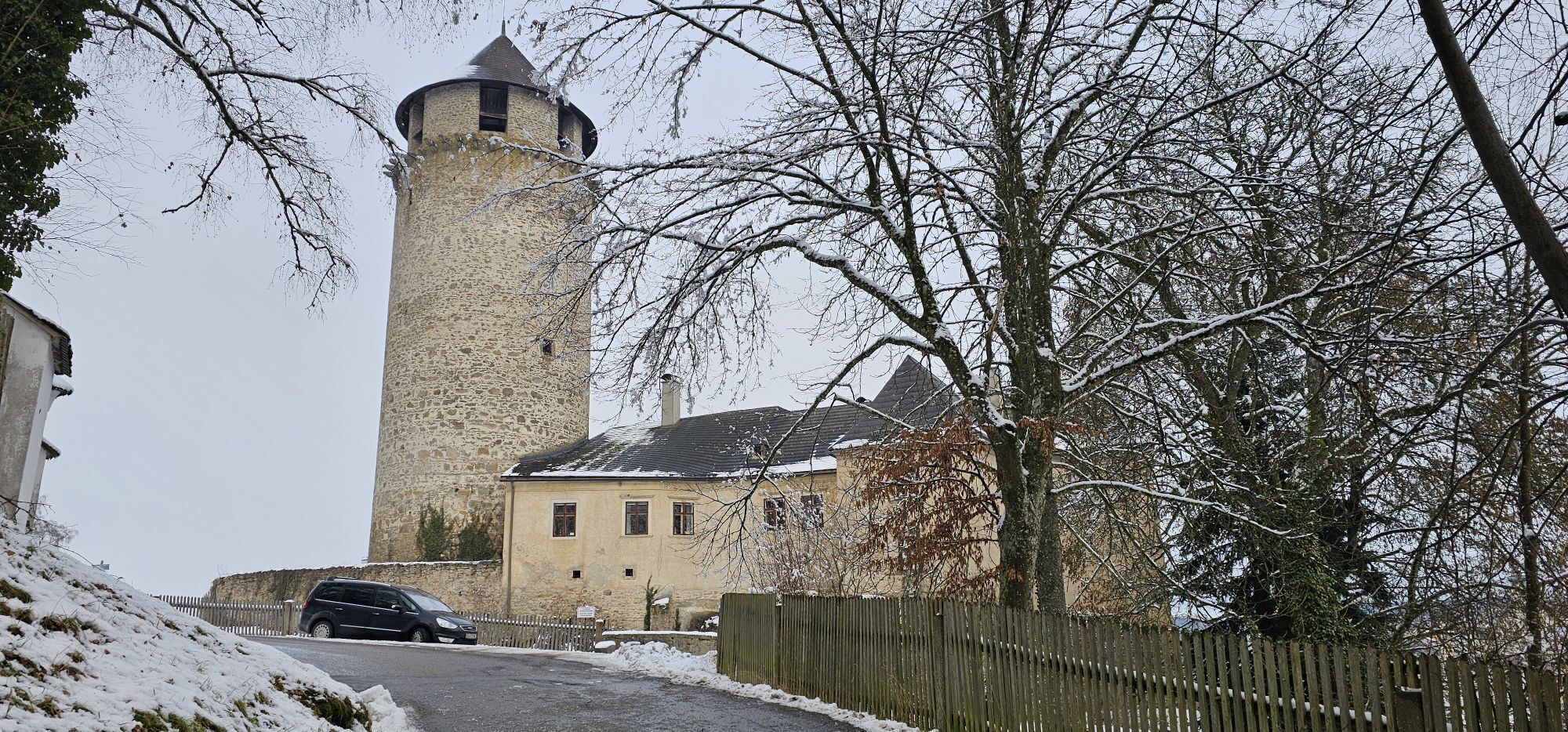
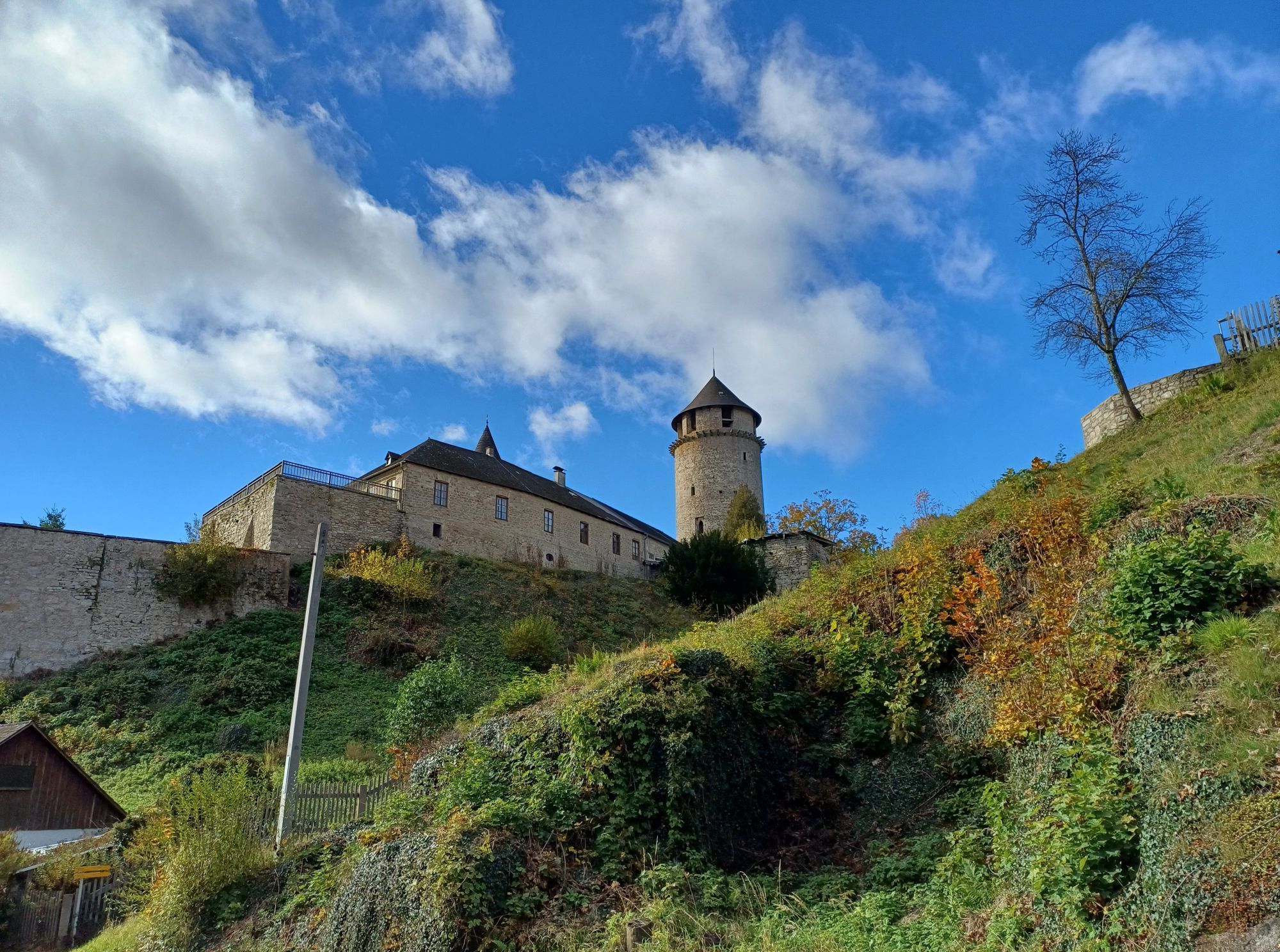
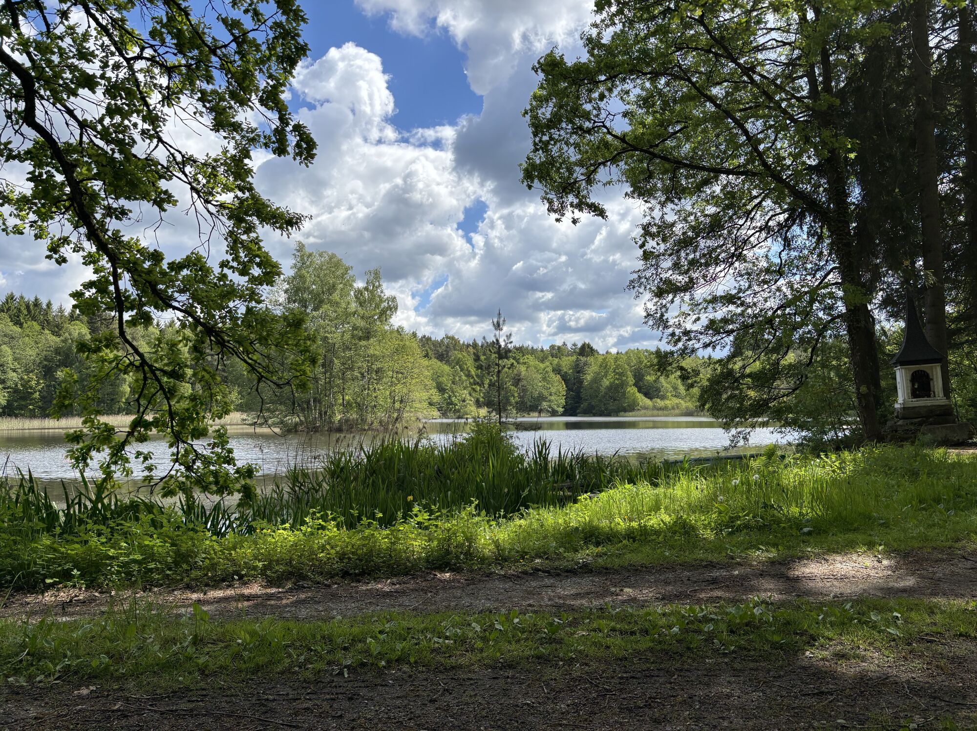
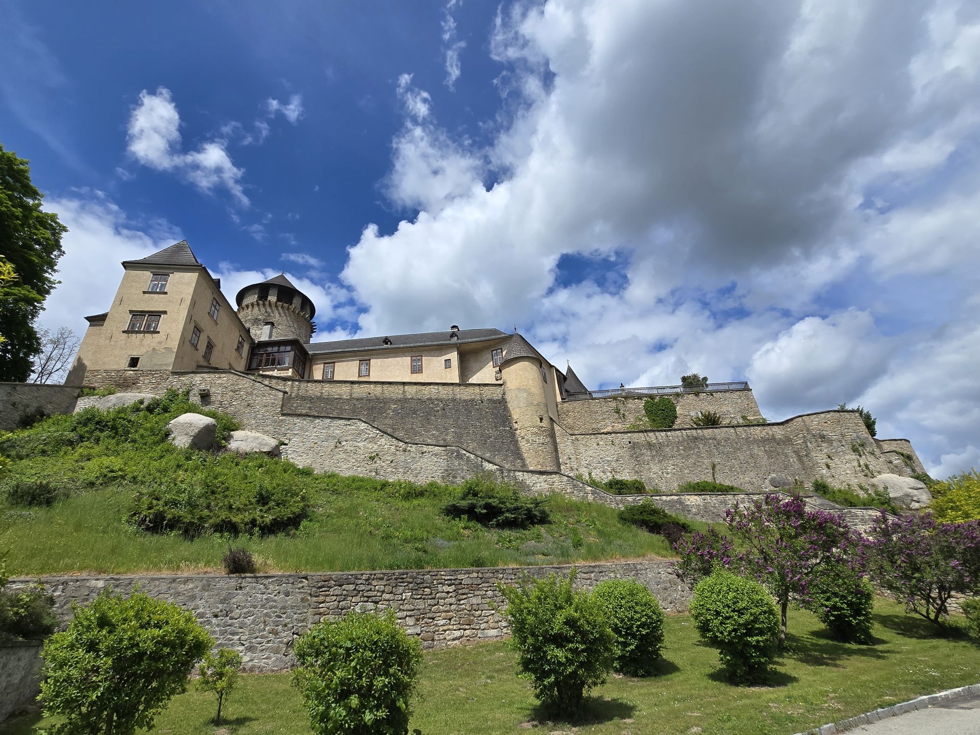
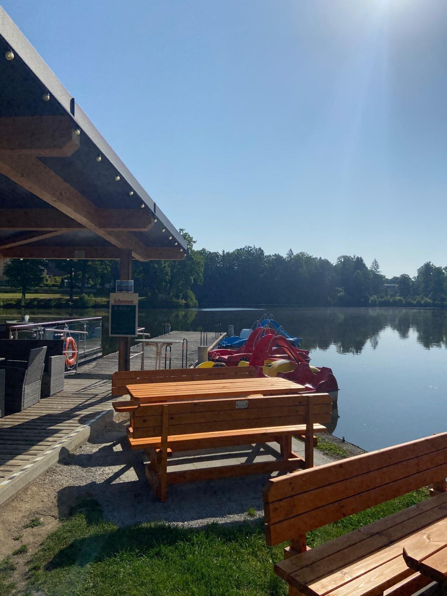
The hike takes us along Herrensee through the forest for a stretch. A stone wayside shrine and a bit later the "Stone Way Column" line the further path through the varied landscape to the entry of the...
<p>The hike takes us along Herrensee through the forest for a stretch. A stone wayside shrine and a bit later the "Stone Way Column" line the further path through the varied landscape to the entry of the Dachsengraben to the Grasel cave.</p><p>According to legend, in this granite group lived the once infamous robber chief Grasel, who was by no means a noble gentleman. He liked to commit his raids in simpler houses; by the time of his end Grasel had started around 200 crimes in the Waldviertel!</p><p>Through the primeval-like area, the trail leads into the romantically wild Dachsengraben down to the bottom of the gorge. On a wooden plank path, one gets through a small swamp area to the lonely Richterteich. On the further forest-rich path, the settlements "Kashof", Schlag and Seilerndorf are traversed before reaching the castle of the Seilern-Aspang family.</p><p>Absolutely recommended, varied hike through the region!</p>

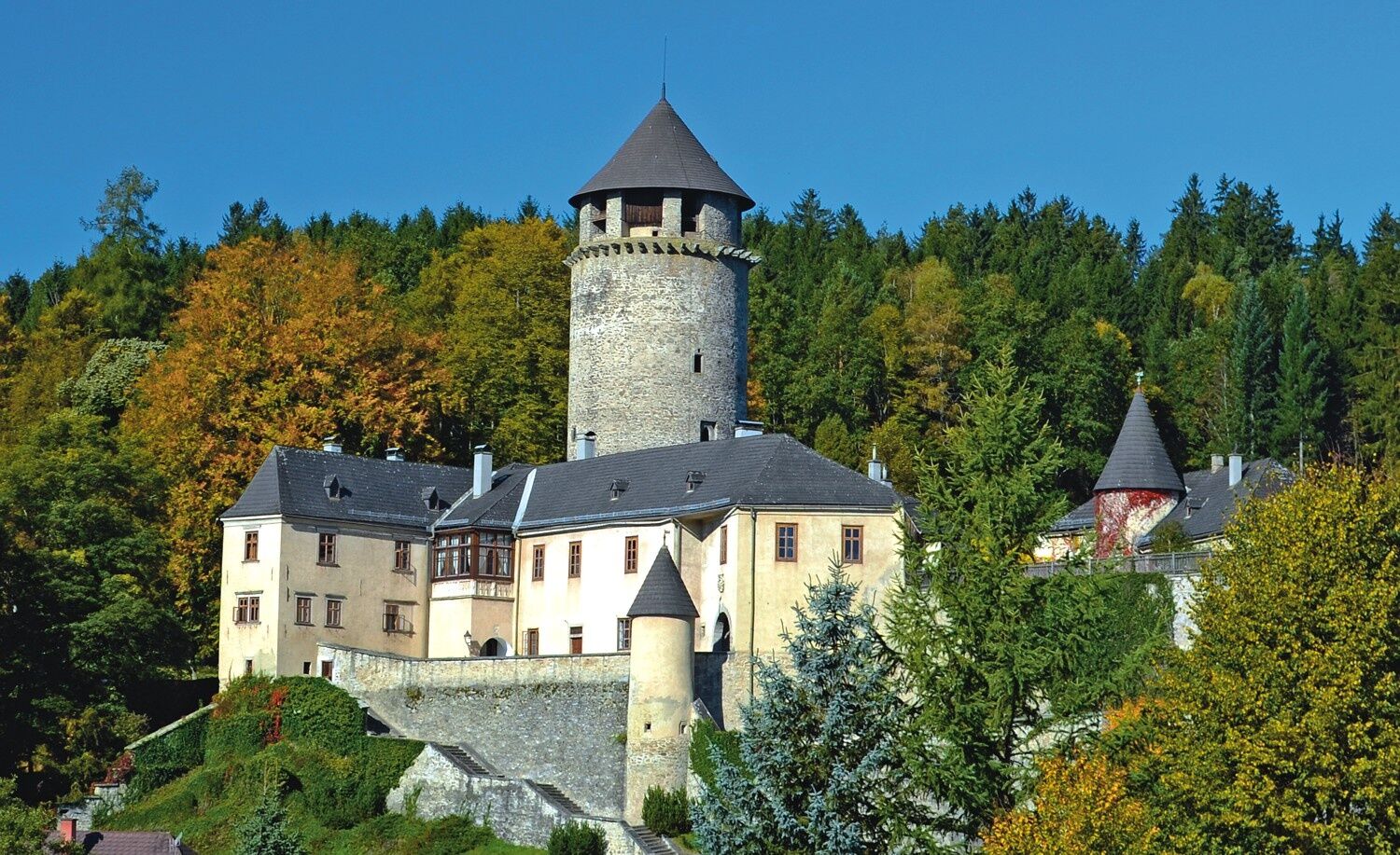
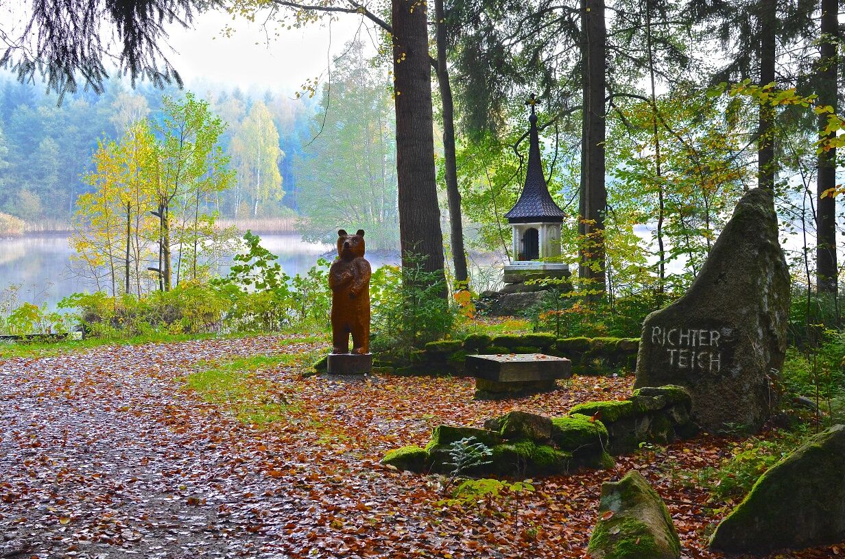
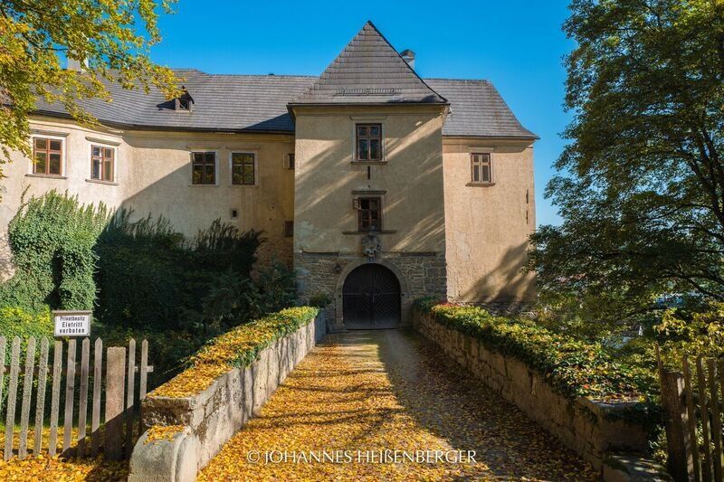
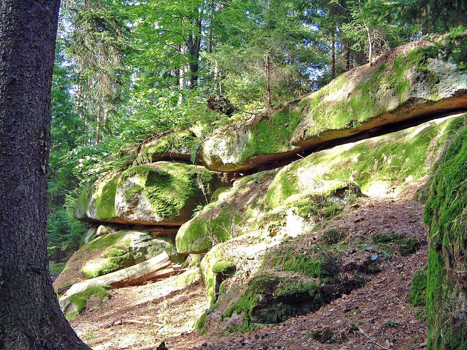
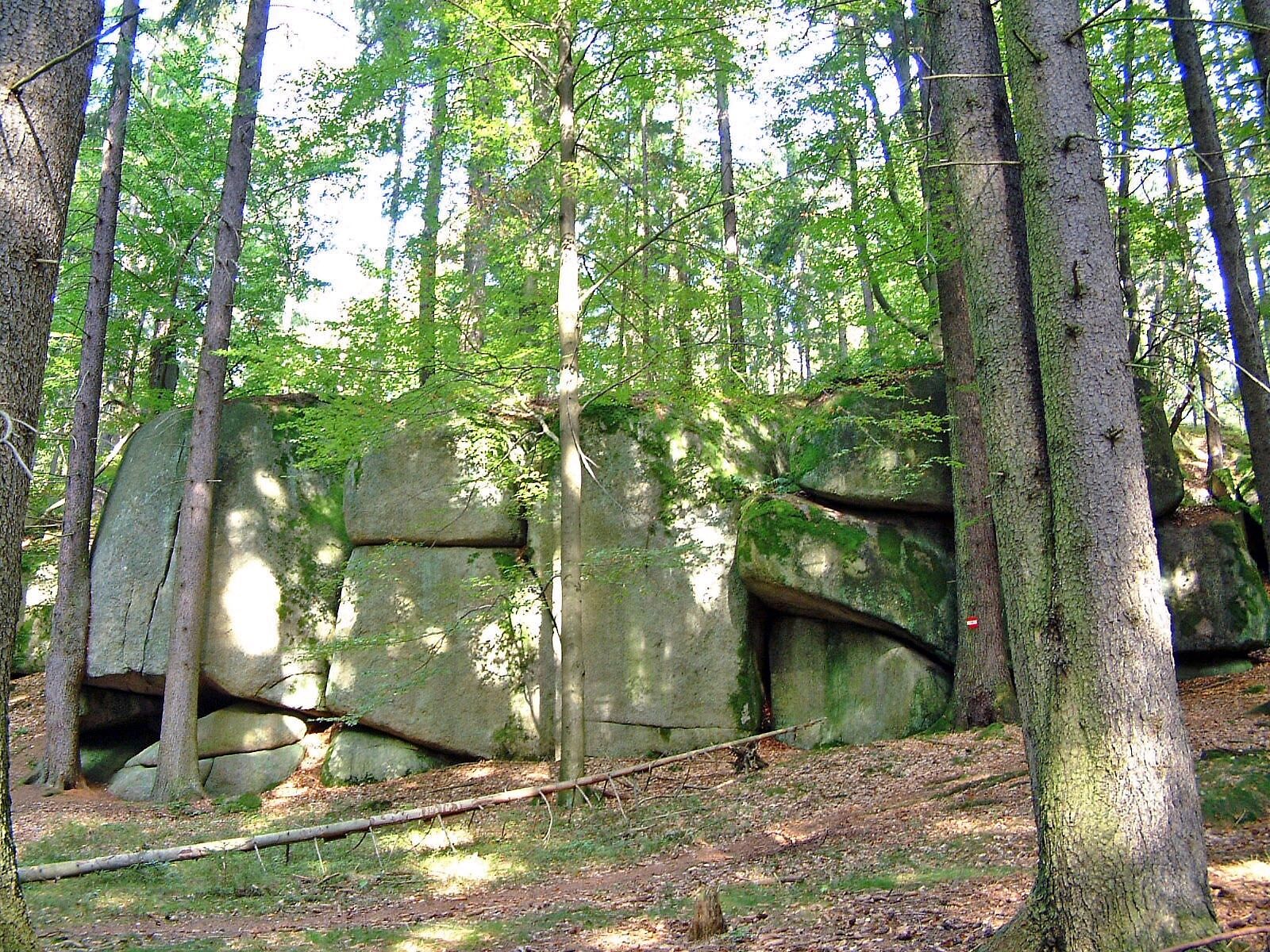

<p>The first 30 minutes the path runs together with path No. 13 along the left side of Herrensee, then uphill to the rest area at the "Stone Way Column". Shortly after, the paths separate, number 12 heads straight into the forest, downhill into the legendary Dachsengraben, further over a wooden plank path to Richterteich. Seating and a wayside shrine invite you to linger and enjoy here.</p><p>Now the forest road leads briskly uphill, a road crossing and a few houses, the "Kashof", appear. Over forest and meadows the path leads to the Schläger Wehr, over the dam and further into the village of Schlag. We are now on a section of the 7-villages circular path No. 20, which runs for some time in the same direction. After reaching the highest point of the path, it goes back down to Kufsteinteich. Over the forest nature trail with its man-high insect hotel and the tree horoscope, one passes the castle of the Seilern-Aspang family and returns to Herrensee.</p>
<p>Sturdy footwear, functional clothing, sun and rain protection, map material, if needed telescopic poles, first aid kit (blister plasters), sufficient provisions (snack, muesli bars, fruit, water).</p>
<p>Route characteristics: 20% asphalt, 80% forest and meadow path</p><p>Make sure when choosing the route that it suits your condition. Check whether the gastronomy businesses you want to visit along the way are open. Pack your mobile phone and map material in your backpack.</p>
<p>By bus from Göpfritz or Gmünd to Litschau. Particularly recommended is the journey from Gmünd to Litschau with the nostalgic Waldviertel railway.</p><p>Your exact route can be planned with the VOR route planner. www.vor.at</p>
<p>Free parking at the town square as well as park & ride facility in the immediate vicinity</p>
Municipality of Litschau
Tourism Information
3874 Litschau, Town Square 25
(T) +43 2865 219-24
(E) gemeinde@litschau.at
(I) www.litschau.at
Waldviertel Tourism
3910 Zwettl, Sparkassenplatz 1/2/2
(T) +43 2822 54109
(E) info@waldviertel.at
(I) www.waldviertel.at
Enjoy the local cuisine after the hike with the typical delicacies of the Waldviertel kitchen.
Popularne wycieczki w okolicy
-
4,4
Rund um den Herrensee in Litschau
światłoWędrówka 4,65 km -
5,0
Höllgrabenweg
średniWędrówka 8,89 km -
5,0
TiWaLi - Neu-Nagelberg Grenzweg, Österreich
światłoWędrówka 10,7 km -
08 Eisenwurzenweg, Etappe 01: Litschau - Haugschlag - Rottal
światłodługodystansowy szlak pieszy 16,7 km -
4,7
Rund um Alt-Nagelberg
światłoWędrówka 9,90 km -
3,0
Grenzlandwanderung Reingers/Böhmerwald
światłoWędrówka 12,6 km -
5,0
EV13 Etappe 1: Gmünd - Litschau
Jazda na rowerze 34,4 km -
08 Eisenwurzenweg, Etappe 02: Haugschlag - Gmünd
światłodługodystansowy szlak pieszy 38,9 km -
5,0
Short circular route around Litschau
średniWędrówka 14,7 km -
5,0
Hiking trail "Pfad"
średniWędrówka 11,1 km
Wędrówki i tropienie


Nie przegap ofert i inspiracji na następne wakacje
Twój adres e-mail została dodana do listy mailingowej.





