


Wine Hiking Trail Retz - Always follow the vines
We leave the Main Square – town fountain – through the Verderber and Znaimer Gate. At the junction in front of us is a fork; we take the left – into Fladnitzerstraße – towards Hardegg. After about 200...
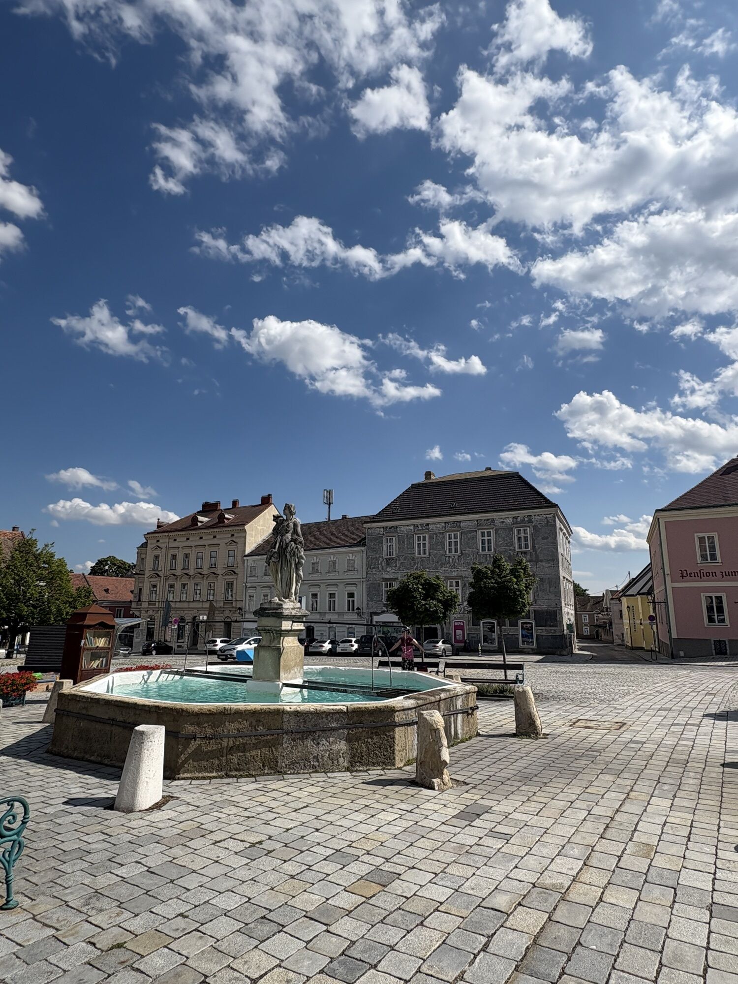
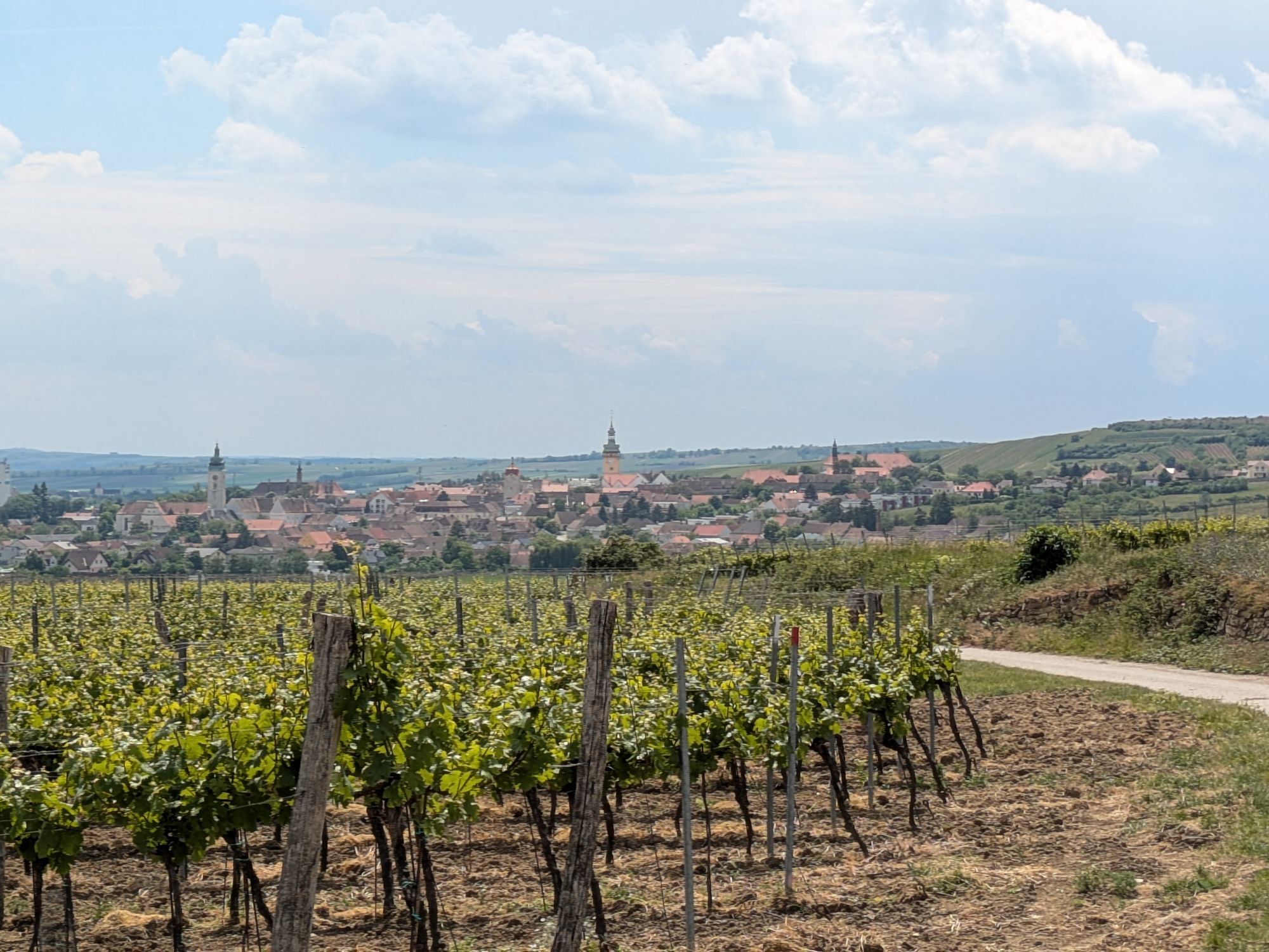
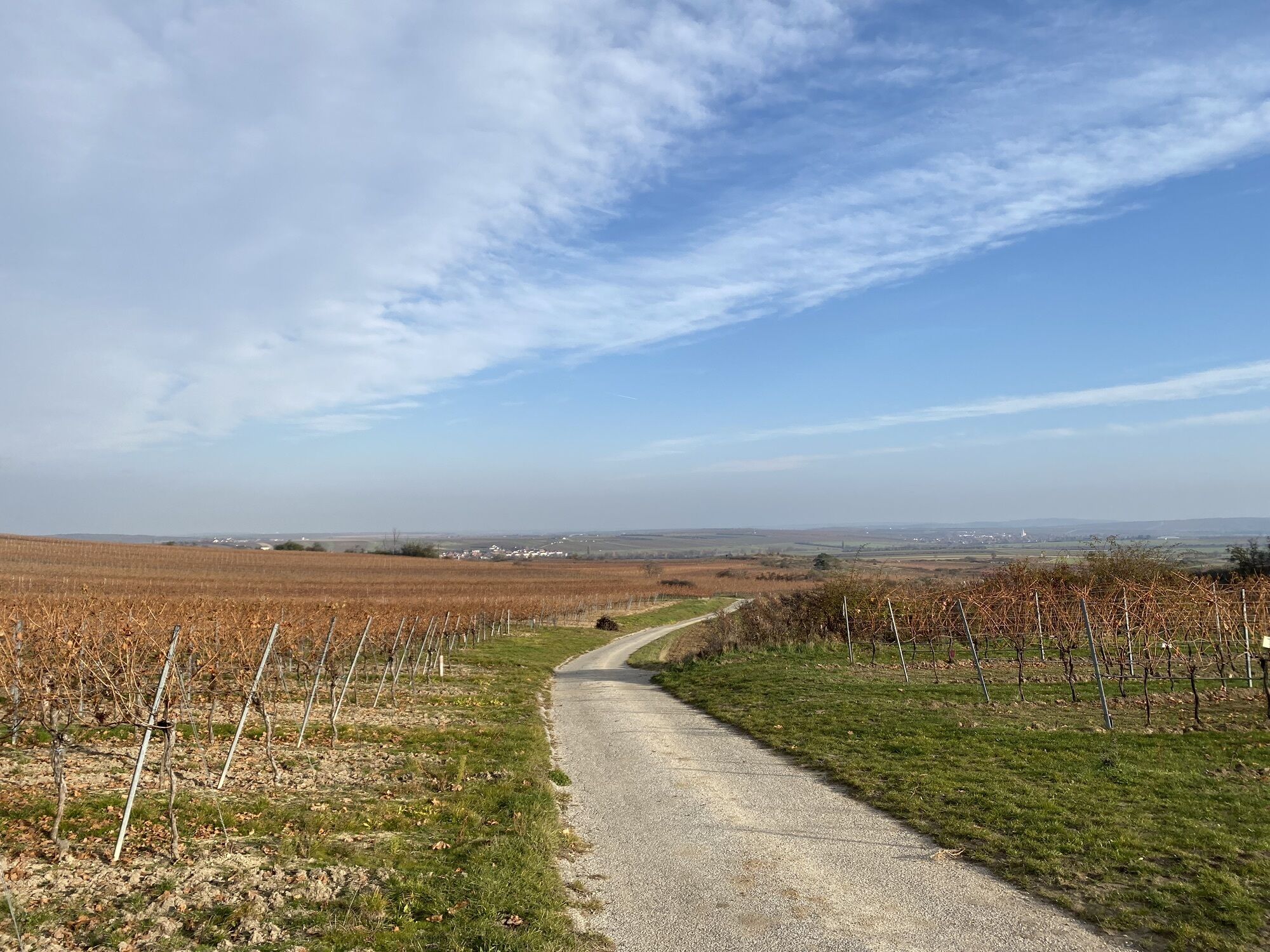
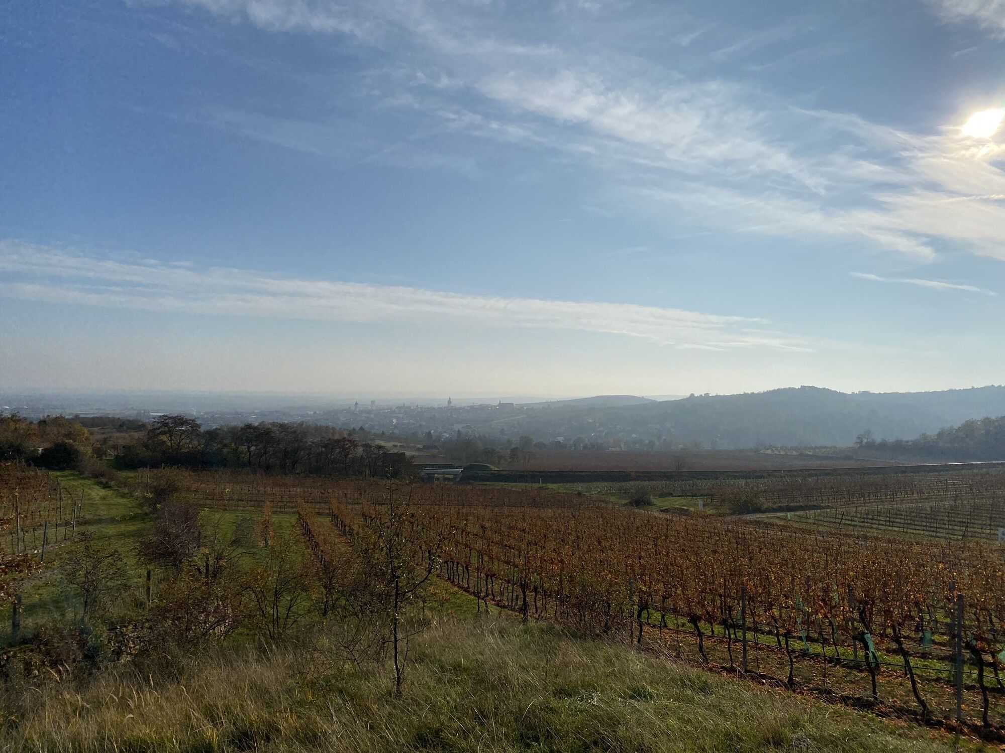
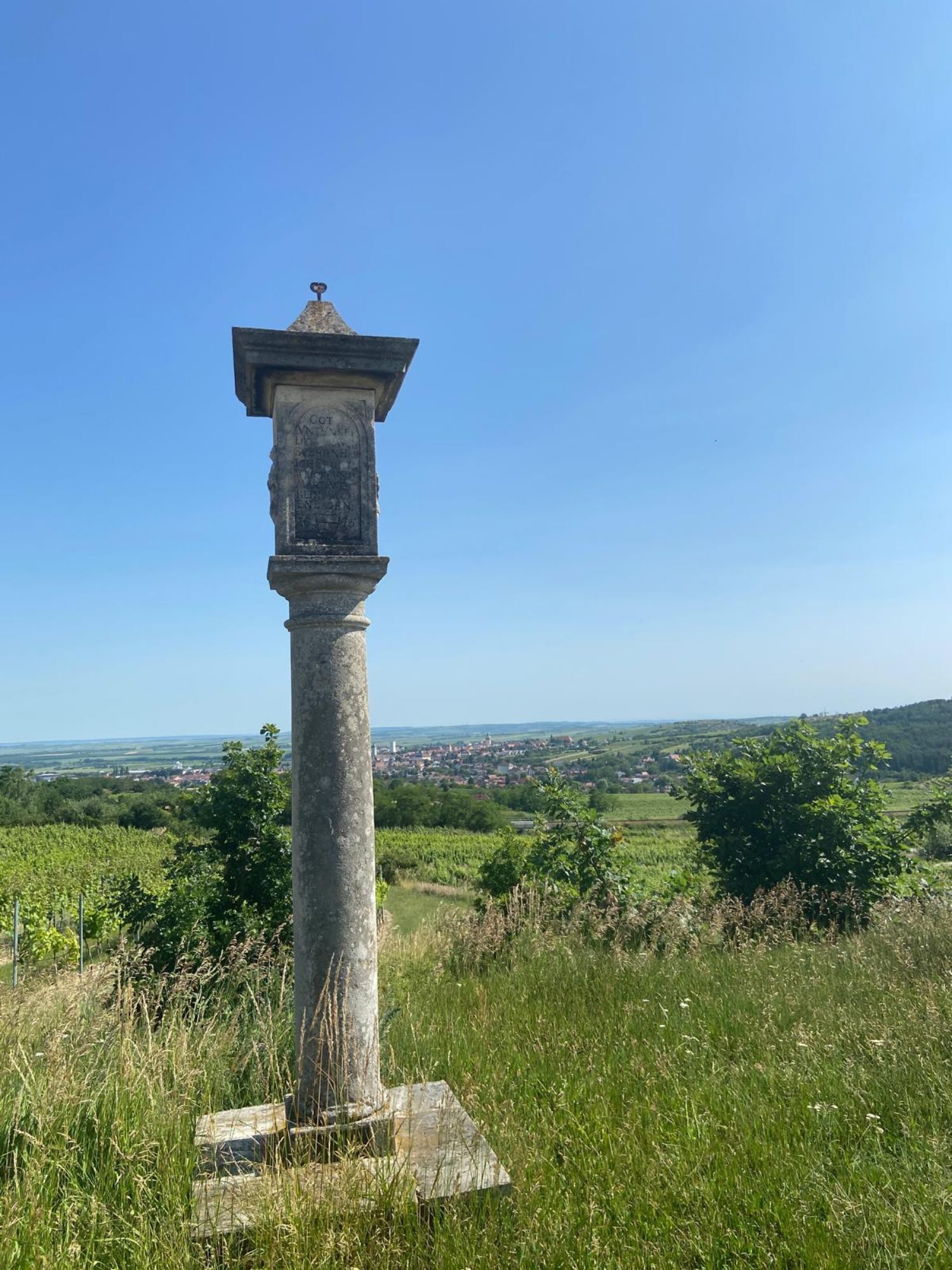
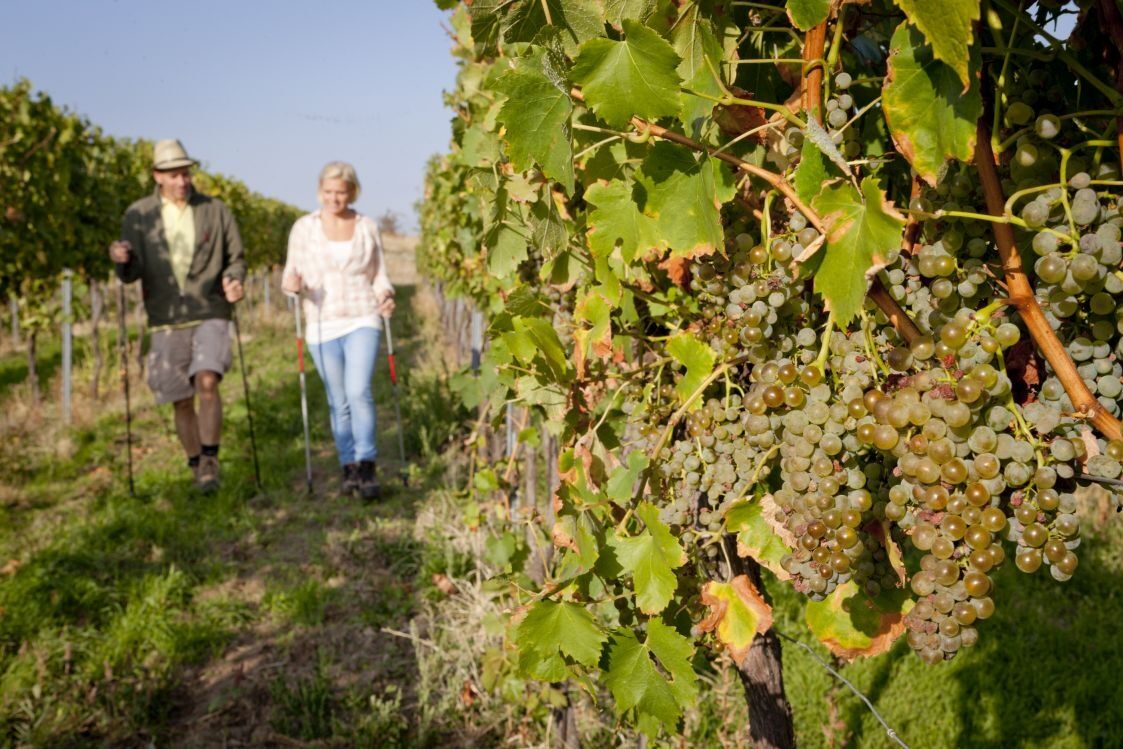
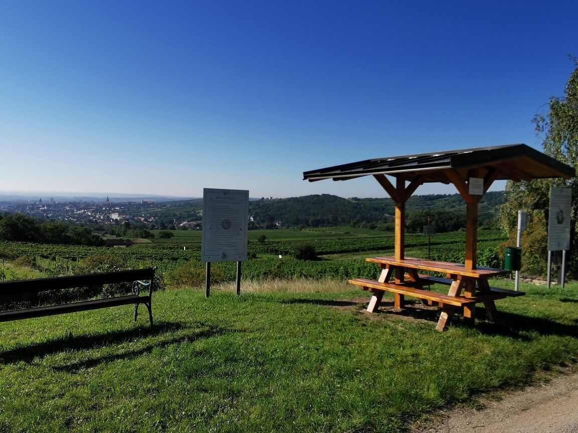
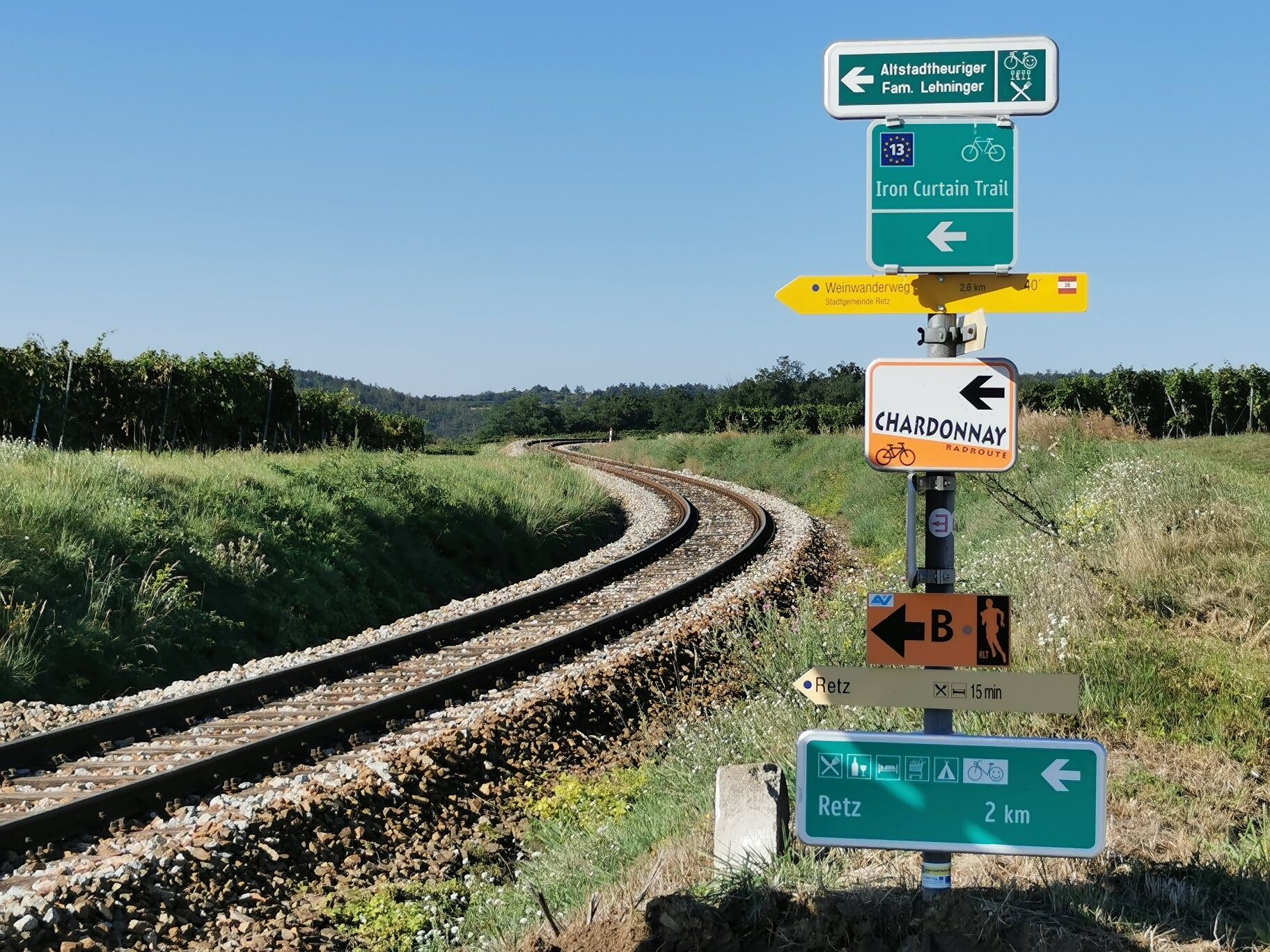
<p>We leave the <strong>Main Square</strong> – town fountain – through the Verderber and Znaimer Gate. At the junction in front of us is a fork; we take the left – into <strong>Fladnitzerstraße</strong> – towards Hardegg. After about 200 m we turn right into the rural shopping street <strong>Lange Zeile</strong>. At the end of Lange Zeile begins the <strong>Wine Hiking Trail</strong>, which takes us through rolling vineyards, past a varietal wine garden, up to Altenberg. Past the <strong>Winemaker’s House at Altenberg</strong>, towards the railway crossing, turn right, we hike along the <strong>Setzberg</strong> back to the town. The path leads into Lange Zeile, where the Old Town tavern (Fam. Lehninger, Lange Zeile No.33) invites you to stop for a drink.</p>

<p>Vienna: A 22 to Stockerau – S 3 to Hollabrunn – B 303 to Guntersdorf – B 30 to Retz<br />Linz: A 7 towards Freistadt - B 310 to Freistadt - B 38 via Zwettl to Rastenfeld – turn left here towards Horn – B 45 to Pulkau – B 35 to Retz</p>
<p>Train and bus connections available</p>
<p>Please note that there is a short-term parking zone in the urban area of Retz.<br />Parking is possible outside the main square or at the train station.</p>
Retzer Land Regional Marketing
Main Square 30, 2070 Retz
+43 2942 2223-34 / +43 664 1546544
office@retzer-land.at
www.retzer-land.at
Sights:
Retzer Experience CellarTown Hall TowerTown Hall ChapelWindmillBicycle MuseumRetz MuseumSouth Moravian GalleryPopularne wycieczki w okolicy
-
4,5
DAC Radtour-Weinviertel
średniJazda na rowerze 55,1 km -
4,4
Rundwanderung Nationalpark THAYATAL
światłoWędrówka 14,0 km -
4,3
Nationalpark Thayatal Radweg Süd und Nord
średniMountainbike 63,2 km -
4,1
»tut gut« Wanderweg Pulkau | Route 2
średniWędrówka 7,29 km -
4,5
Kellergassenrundwanderweg
średniWędrówka 8,69 km -
4,5
Ruine Kaya
średniWędrówka 12,5 km -
5,0
Ruine Kaya - Thaya Aussichtspunkt
światłoWędrówka 6,82 km -
4,0
Eisleiten
średniWędrówka 12,9 km -
2,6
Chardonnay-Radtour
Jazda na rowerze 33,5 km -
5,0
Hardegger Warte
średniWędrówka 5,60 km
Wędrówki i tropienie


Nie przegap ofert i inspiracji na następne wakacje
Twój adres e-mail została dodana do listy mailingowej.