






Laas walking path
Worth seeing:
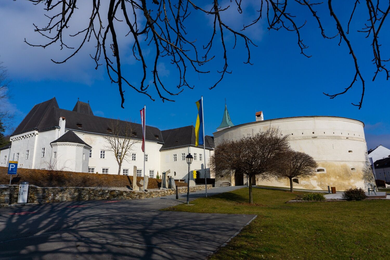
Pöggstall Castle - in 2017 it was the venue for the Lower Austria State Exhibition "Everything that is right" - houses a museum about legal history including the only "original" torture chamber...
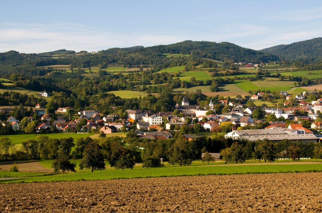
<p><strong>Worth seeing:</strong><br />Pöggstall Castle - in 2017 it was the venue for the Lower Austria State Exhibition "Everything that is right" - houses a museum about legal history including the only "original" torture chamber and a documentation about the life and work of the artist Franz Traunfellner. The special exhibition "Pöggstall Castle - between region and imperial court" in the barbican also fascinatingly tells about the eventful restoration, significant finds, and surprising stories about the castle lords. A 3D animation vividly shows how the bergfried and later the castle grew from its original layout to its present form.</p><p>Worth seeing besides Pöggstall Castle with its barbican (rondel) are also the very old St. Anna Church in the field (1140), the parish church of Pöggstall, and the pilgrimage church in Neukirchen (1118) on the Ostrong, which as a pilgrimage church is older than Maria Taferl.</p><p><strong>Leisure tips:</strong><br />4 tennis courts, beach volleyball court, soccer field, a covered multisport facility, children's playgrounds, camping site, mountain bike and cycling routes, fishing and riding opportunities, horse farm Laas, Texas Longhorn Austria, Hotglass Atelier Faffelberger, Herb farm Schrammel, branding art Josef Mitmasser.</p>

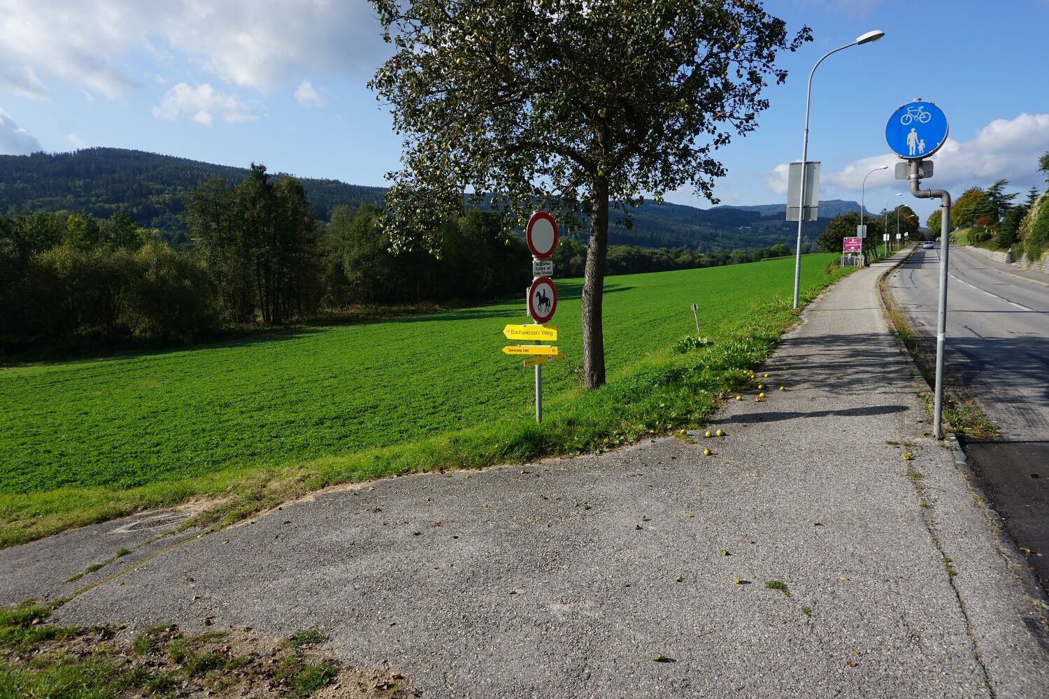
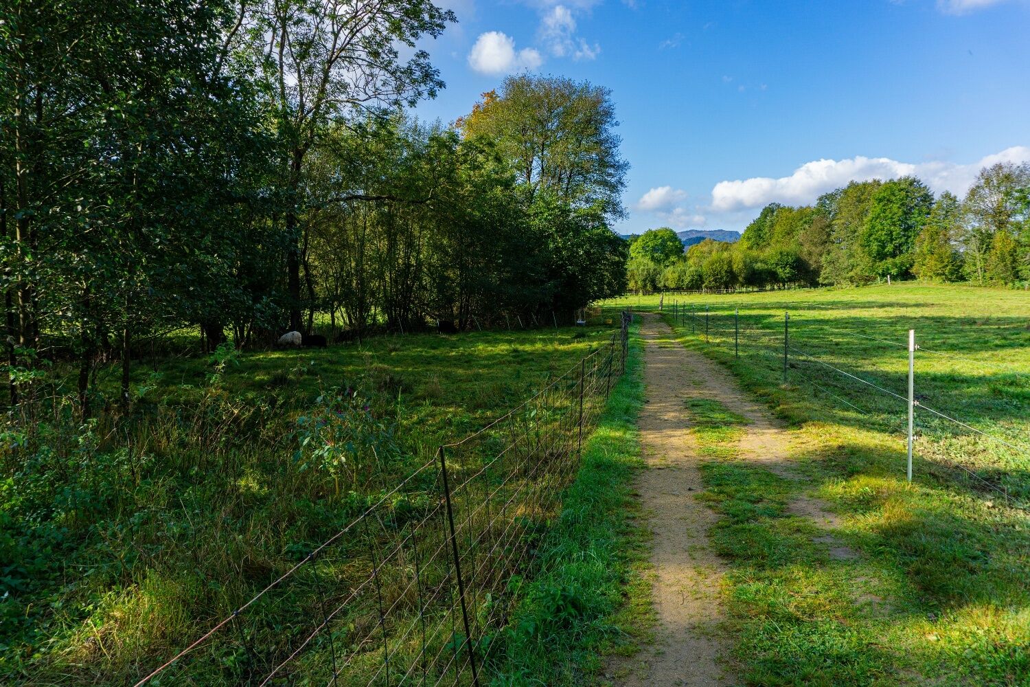
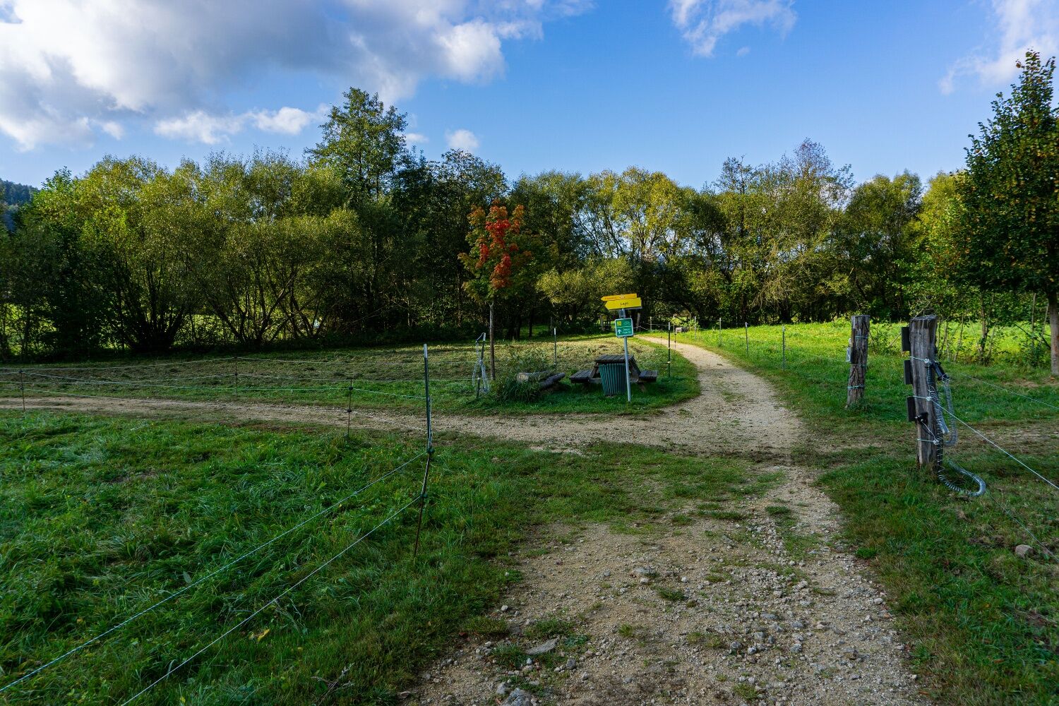
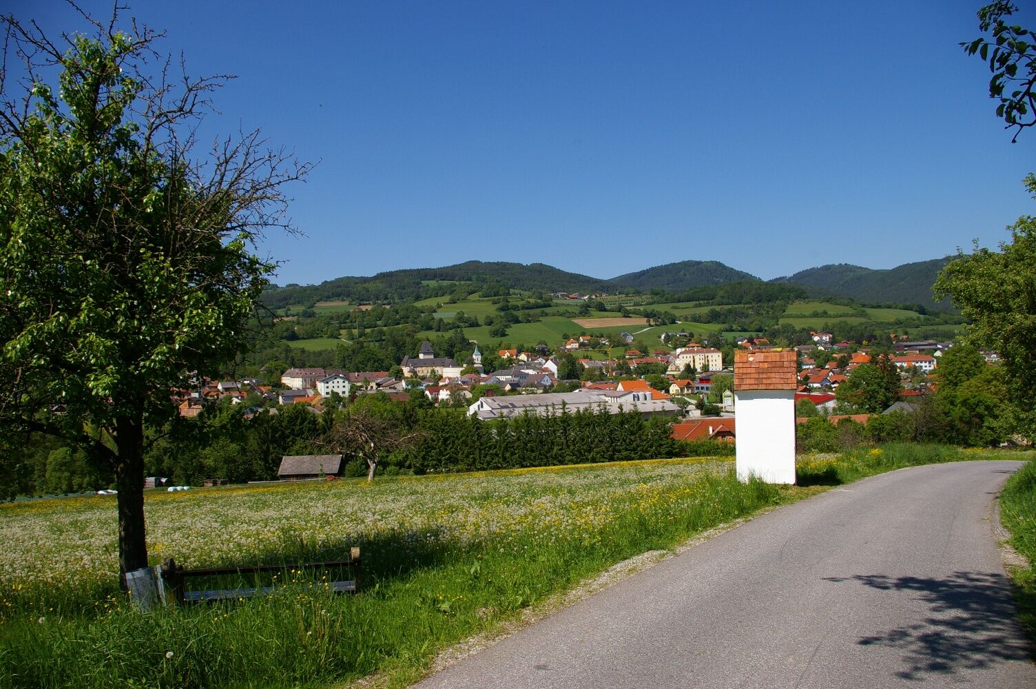
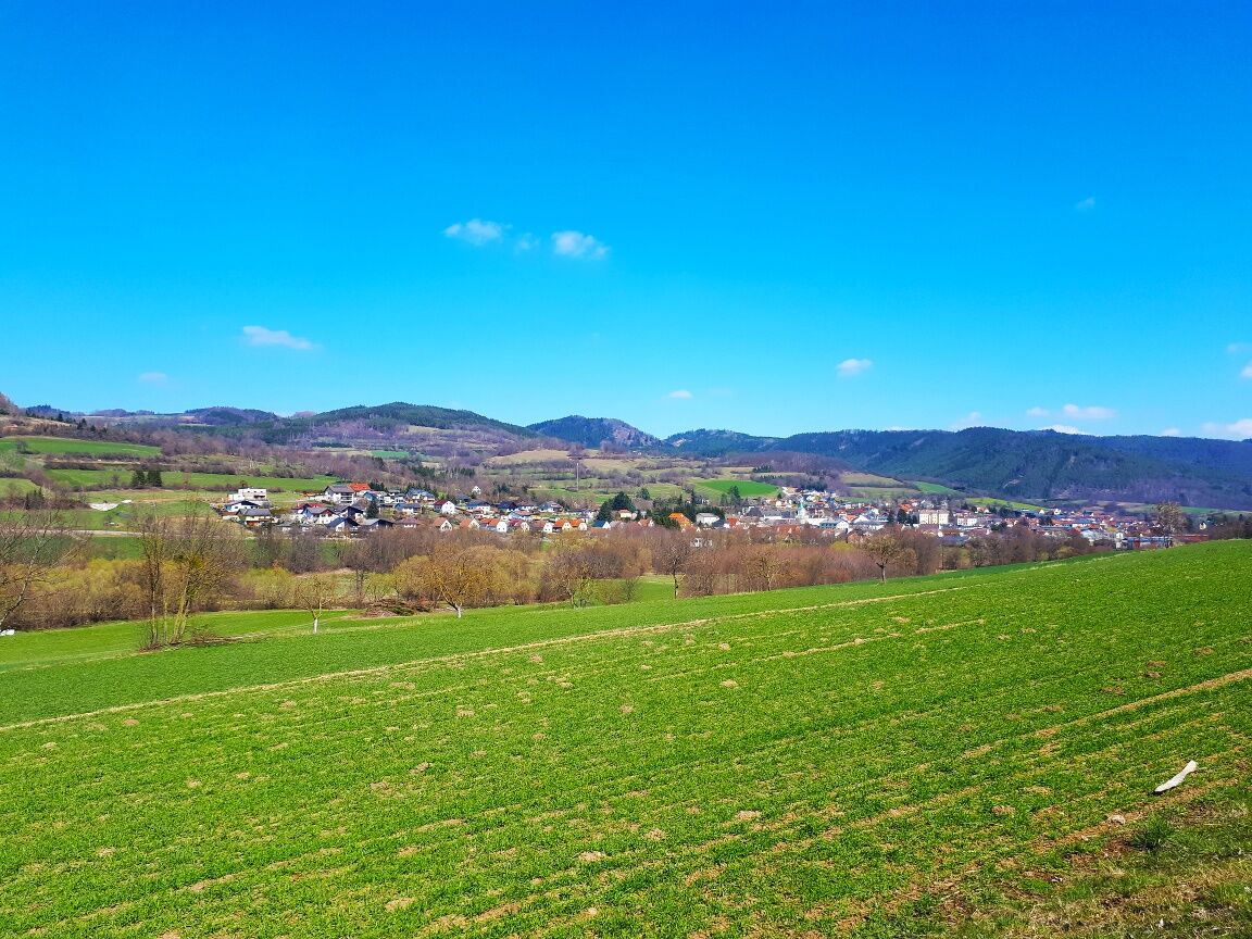
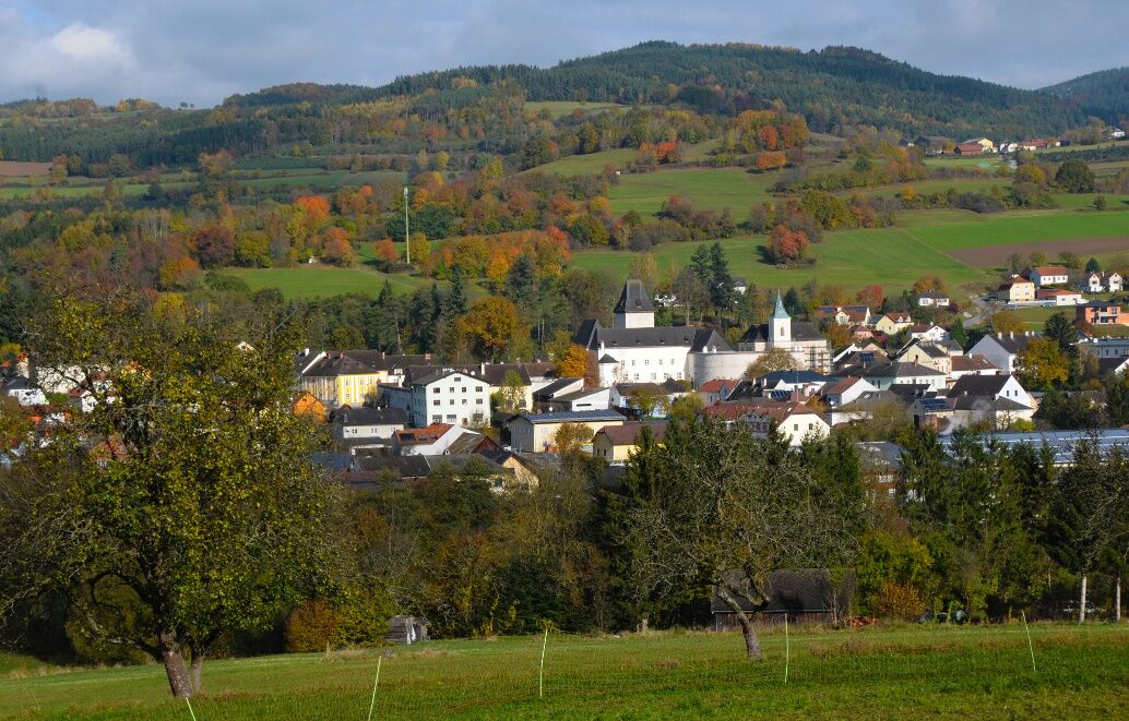
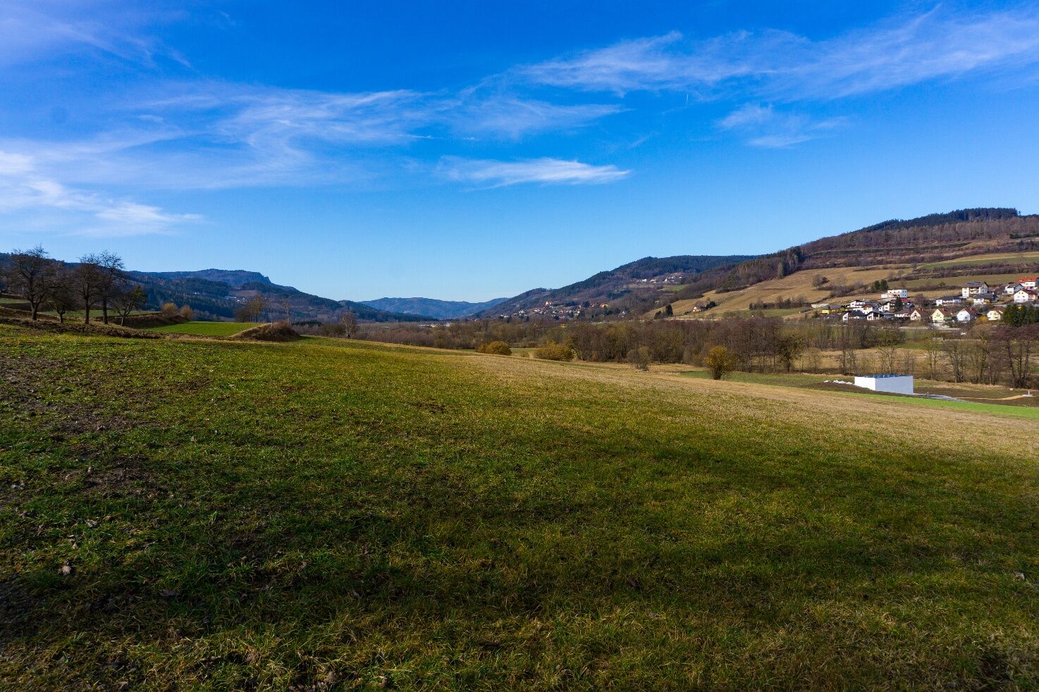
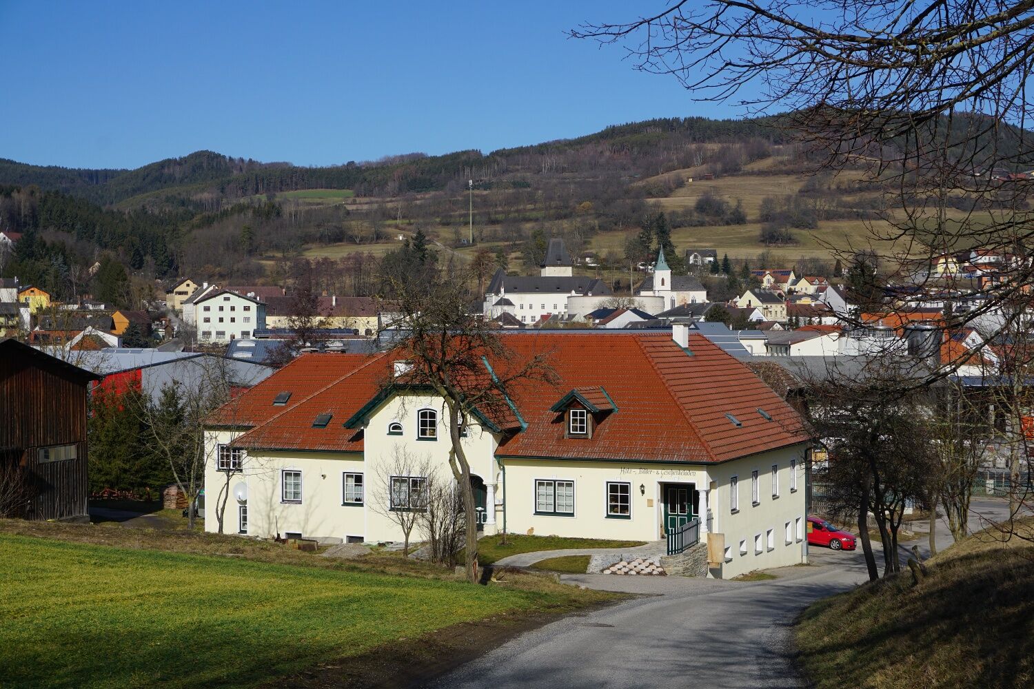

<p>From the main square you walk through the rondel, over the Tavern Square into the Upper Main Street to the town sign. Entrance Bachwiesenweg to the Heubrücke and over the Weitenbach (450 m). Then you follow the meadow path to Laas (473 m). The way back goes on the Laas municipal road, past the new settlement at Krempersbach, over the Weitenbach bridge at Rogendorfer Street and the Badgasse to the main square.</p>
<p>A1 to Melk exit - drive over the Danube on the B3a and switch to the B3 and drive to Weitenegg - here switch to the B216 and drive to Eitental - drive on the L7223 to Seiterndorf and on the L7226 to Pöggstall</p>
Tourism Association Ysper-Weitental
3683 Yspertal, Hauptstraße 9
(T) +43 7415 6767 25
(E) info.yw@waldviertel.at
(I) www.waldviertel.at
Waldviertel Tourism
3910 Zwettl, Sparkassenplatz 1/2/2
(T) +43 2822 54109
(E) info@waldviertel.at
(I) www.waldviertel.at
Popularne wycieczki w okolicy
-
4,0
Yspertal: Druidenweg - Ysperklamm
średniWędrówka 9,56 km -
4,6
Ausgedehnte Peilsteinrunde
średniWędrówka 13,7 km -
4,5
Durch die Steinwandklamm von Maria Taferl aus
światłoWędrówka 8,26 km -
4,8
Herzsteinweg Ysper und Burgsteinmauer
średniWędrówka 14,7 km -
4,9
LAIMBACH Ostrong Peilstein 20220716
średniWędrówka 7,70 km -
3,9
Spitz a. d. Donau Jauerling Schwallenbach retour 16.04.2016
średniWędrówka 20 km -
4,5
Welterbesteig Wachau 08: Emmersdorf-Melk
światłodługodystansowy szlak pieszy 9,90 km -
4,8
Ysperklamm
światłoWędrówka 3,92 km -
4,3
Welterbesteig Wachau 07: Aggsbach Markt-Emmersdorf (Naturpark Jauerling-Wachau)
światłodługodystansowy szlak pieszy 14,6 km -
4,6
Welterbesteig Wachau 06: Maria Laach-Aggsbach Markt (Naturpark Jauerling-Wachau)
światłodługodystansowy szlak pieszy 7,04 km
Wędrówki i tropienie


Nie przegap ofert i inspiracji na następne wakacje
Twój adres e-mail została dodana do listy mailingowej.





